 |
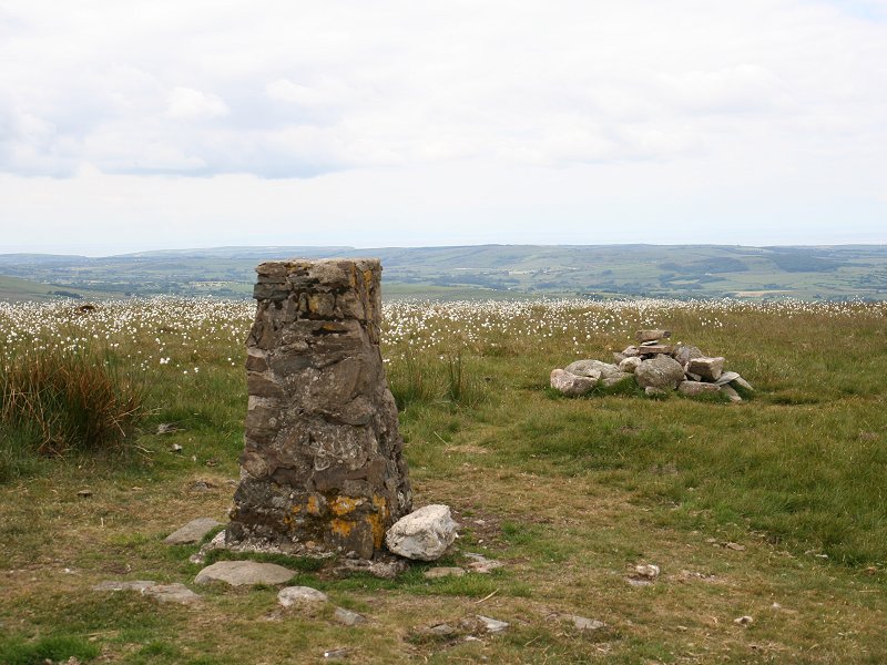
Dunkery
Beacon
Location: Exmoor,
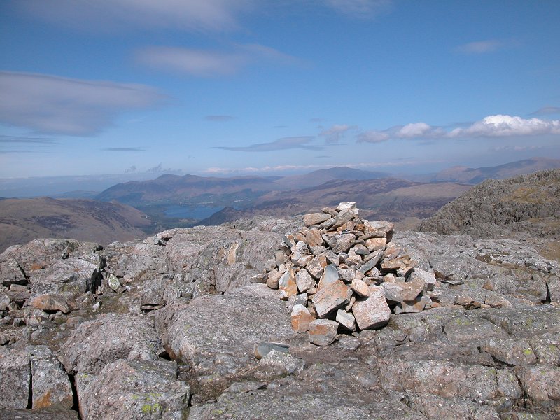
Somerset Notes: Dunkery Beacon is the highest summit of Exmoor, a national park that straddles the counties of Devon and Somerset close to the Bristol Channel coast. Although much of Exmoor is heath, moor and rough pasture, the summit of Dunkery Beacon itself is quite stony. As well as the usual OS trig pillar the summit features an enormous cairn and a topograph. The summit is only a few hundred metres from the lonely Luccombe to Wheddon Cross road, though walkers wanting to make it part of a worthwhile expedition might like to tackle it from Porlock, via the valley of Horner Water. The view is extensive and includes much of Exmoor, extending across Devon to Dartmoor, across Somerset to the Quantocks and across the Bristol Channel to Wales. On the clearest days the Black Mountains and Brecon Beacons might just be glimpsed. |
|
|
|
 |
Duwynt
Location: Brecon
Beacons |
|
|
|
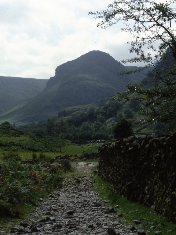  |
Eagle Crag
Location: Lake
District, Central Fells |
|
|
|
 |
Eildon Mid
Hill
Location: Southern
Uplands.
Melrose Notes: Eildon Mid Hill is the highest of a group of three hills that stand in isolation south of the town of Melrose, in the Tweed valley. Their isolation among the plains of the Tweed make them superb viewpoints, and some two thousand years ago a Roman signal station was sited on the north hill, barely a mile away. The summit of Eildon Mid Hill is only a few hundred metres off the route of St Cuthberts Way, which crosses the col between the mid and north hills, and the hill can be climbed from Melrose in well under an hour. There is a topograph on the summit but it is badly worn - however, the view encompasses the Cheviots, the Ettrick Hills, Yair Forest, the Meldons, Moorfoots, Pentlands and Lammermuirs, as well as the towns of St Boswells and Galashiels. |
|
|
|
  |
Fairfield
Location: Lake
District,
Eastern Fells Notes: This celebrated fell, laying at the apex of three ridges between Grasmere and Kirkstone Pass, is the 14th highest summit in England and is not far short of Munro height. Its southeastern and southwestern ridges form the famous Fairfield Horseshoe, an excellent full day circular walk from Ambleside. The northeast ridge is also full of interest, including the impressive height of St Sunday Crag as well as the awkward little topknott of Cofa Pike. Views are glorious, that to the north especially, across Grizedale Tarn towards Helvellyn and Striding Edge. The pass of Grizedale offers ascent routes from Grasmere and from Patterdale, though the climb from Grizedale Hause is very steep. Perhaps the easiest way up is from Grasmere via Stone Arthur and Great Rigg. |
|
|
|
 |
Fell Head
Location: Howgill
Fells |
|
|
|
 |
Fellbarrow
Location: Lake
District, Western Fells |
|
|
|
  |
Firle Beacon
Location: South
Downs, East
Sussex Notes: Firle Beacon is a fine grassy top, the highest point of the South Downs between Alfriston and Southease. The seven mile walk between the two locations makes for a fine half day expitition, although there are two car parks right on the ridgeline a mile east and west of the summit respectively, for those who like their summit conquests to be easy. Newhaven and its harbour are well seen to the south, Lewes and Cliffe Hill are nearby to the north, while the ridge of the South Downs itself stretches away both east and west. |
|
|
|
 |
Foel
Fynyddau
Location: Afan
Forest |
|
|
|
 |
Freeholds
Top
Location: South
Pennines |
|
|
|
 |
Froswick
Location: Lake
District,
Far Eastern Fells |
|
|
|
  |
Garth
Hill
Location: Taff Vale
|
|
|
|
  |
Gategill
Fell
Top
Location: Lake
District,
Northern Fells Notes: The west top of Blencathra. From Blencathra's principal summit, Hallsfell, Gategill Fell Top appears as a distinct pyramid shape further west along the summit ridge. It's invariably visited as part of Blencathra's ridge walk and yields excellent views each way along the ridge, south and southwest across Derwentwater to the bulk of the Lakeland fells, and westwards to Skiddaw. |
|
|
|
 |
Gibson
Knott
Location: Lake
District,
Central Fells Notes: An unfrequented fell, the highest on High Raise's lateral ridge that terminates in Helm Crag above Grasmere. Gibson Knott is unusually rocky for a fell of such modest height and its climb is not without effort - the most usual approach is from Grasmere via Helm Crag. The view is restricted by higher fells in most directions, but Grasmere looks delightful from here. |
|
|
|
  |
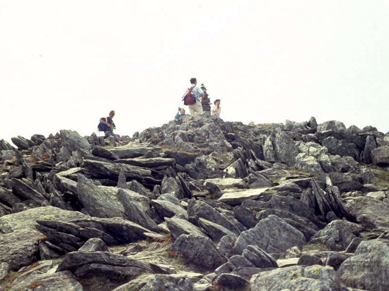
Glaramara
Location: Lake
District,
Southern Fells Notes: Glaramara is an evocative name, and the fell that bears it is a popular destination for walkers. Part of the complex northeast ridge of Scafell Pike, it looms large in the mountain panorama south of Borrowdale. Glaramara, indeed the whole ridge of which it forms a part, is formed of rough terrain of volcanic origin. Hence all walks hereabouts involve a good deal of clambering and many ups and downs over satellite tops, and Glaramara is not easily won. It is normally climbed from the south, in conjunction with Allen Crags. The summit is confusing, having two tops about 150 metres apart, each with two cairns. Which is highest is still a matter of conjecture - the picture here is the north cairn of the south summit. Views are glorious in all directions. |
|
|
|
  |
Glas Maol
Location: Scottish
Highlands,
Mounth Notes: Glas Maol is easy to ascend given that it stands not much over a mile from the highest point of the A93 between Braemar and Blairgowrie, and a straightforward ascent of only 1500 ft or so is necessary to attain the summit. Glas Maol may be administratively important (it's the meeting point of Aberdeenshire, Perthshire and Angus) but aesthetically it's dull, being a relatively shapeless grassy lump. In the portrait image, left, it's seen from nearby Cairn of Claise. There are satisfying views of the Cairngorms and the Mounth, while further afield the Ochils are visible to the south. |
|
|
|
 |
Glas Tulaichean
Location: Scottish
Highlands,
Mounth |
|
|
|
  |
Glastonbury
Tor (a.k.a. Tor Hill)
Location: Somerset
Notes: One of several conicals hills that rise from the fenland of the Somerset Levels, Glastonbury Tor is a hill surrounded by myth and legend. It is reputed to be the burial place of the Holy Grail and is also mixed up in the Arthurian legends. The tower on the hill, which stands immediately southeast of the town of Glastonbury, is the remains of a church that was struck by lightning several hundred years ago. The hill has a topograph and boasts superb views over the Somerset levels and north to the Mendips (Wells cathedral can easily be seen). There's a good path up from the town. |
|
|
|
  |
Glenridding
Dodd
Location: Lake
District,
Eastern Fells Notes: Glenridding Dodd stands immediately north of the village of Glenridding, at the head of Ullswater. The fell is of modest height but is a real sod to ascend, primarily due to the difficulty of access but also because of the rough, pathless and liberally wooded slopes. If you do make the effort and struggle to the top you are rewarded with one of the most glorious views in Lakeland - the head of Ullswater to the south and an end-on view of the greater part of the same lake to the northeast. |
|
|
|
  |
Gowbarrow
Fell
Location: Lake
District,
Eastern Fells Notes: Gowbarrow is a sprawling area of rough, hummocky moorland laying northwest of Ullswater and east of the Matterdale road. The famous waterfall of Aira Force lays at its southwest corner by Park Brow Foot. From here a path runs around the south and east sides of the fell to a point known as the "shooting box" from where the summit can best be tackled. A great many sketchy paths run over the fell, but their exploration is best left to a sunny day as Gowbarrow is a sombre and unwelcoming place in bad weather. |