  |
Rombalds Moor (a.k.a. Ilkley
Moor)
Location: West
Yorkshire,
Lower Wharfedale Notes: So near the big cities of industrial Yorkshire, yet so wild! Rombalds Moor is a stretch of virgin moorland laying between the Wharfe and the Aire only seven miles from the centre of Bradford, and directly between Ilkley and Keighley. The moor's edges feature some excellent rock scenery, notably the Cow & Calf Rocks above Ilkley. The moor itself is empty save for a handful of tracks, a rickety old stone wall and a couple of radio masts. The trig pillar is only twelve minutes' walk from the car park at the end of the high road up from Keighley, but is perhaps better visited on a traverse from Ilkley to Keighley or vice versa. Ilkley Moor itself is an excellent place for the novice walker to get some moorland experience. |
|
|
|
 |
Ruardean Hill
Location: Forest
of Dean |
|
|
|
 |
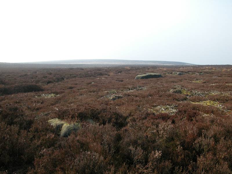
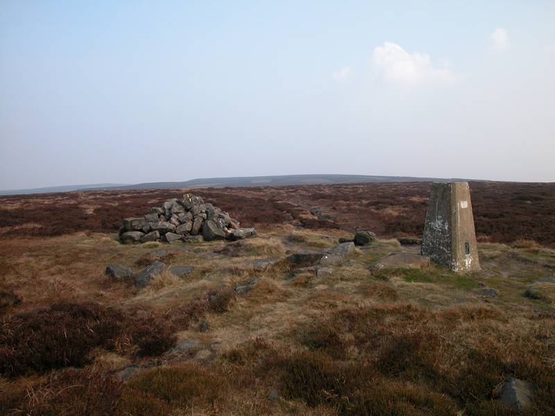
Rushock Hill
Location: Herefordshire
|
|
|
|
 |
Ryder's
Hill
Location: Dartmoor
Notes: Ryder's Hill is the highest top in the southeastern quarter of Dartmoor. It stands a few kilometres south of Dartmeet and not far off the route of the Two Moors Way. It could be climbed in under an hour from the motor road at Comberstone Tor and is at the northern end of an easy ridgewalk including Puper's Hill and Snowdon. There are splendid views across the valleys of both branches of the river Dart. |
|
|
|
  |
Saint
Sunday
Crag
Location: Lake
District,
Eastern Fells Notes: The highest summit on the long northeastern ridge that Fairfield sends out towards Ullswater, St Sunday Crag is a splendid mountain in its own right. Its steep slopes make it appear formidable yet it can be ascended without too much hassle, either from Grizedale Tarn or along the ridge from either direction. Little can be seen of Ullswater from the summit but the views of Helvellyn, Fairfield and the High St range are especially good. |
|
|
|
 |
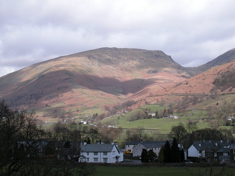
Sale
Fell
Location: Lake
District,
North Western Fells Notes: Sale Fell stands more or less on the northwestern edge of the Lakeland fells, overlooking Bassenthwaite. Its position gives it an excellent panorama across Cumbria's coastal plain and across the Solway Firth to Scotland, while the view of Skiddaw to the east (illustrated, left) is particularly good. The fell may easily be climbed from the Kelswick farm road above Embleton. |
|
|
|
 |
Sandy Hillock
Location: Scottish
Highlands,
Mounth |
|
|
|
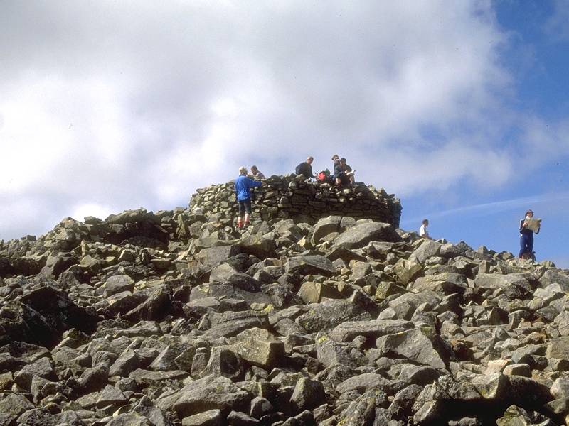 |
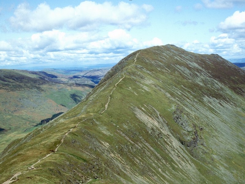
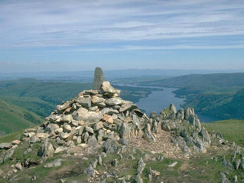
Scafell
Pike
Location: Lake
District,
Southern Fells Notes: Scafell Pike is the highest mountain in England. And there is no doubt that it's a mountain and not just a hill - it's rocky rather than grassy, it's got two other "tops" as well as the principal summit, it has extensive boulder fields, it has crags and gullies and ravines, and it has snow lying until late spring. The summit panorama consists largely of countless similar craggy fells nearby, though further afield it's possible to see Scotland, Wales and the Isle of Man. It's relatively straightforward to climb, although some walkers will find the boulder fields tedious. The standard route is from Seathwaite at the end of Borrowdale, via Stockley Bridge, Grains Gill and Esk Hause. I don't recommend the alternative "corridor route", which is great ankle-breaking country. Shorter and steeper ascents can be made from Wasdale. |
|
|
|
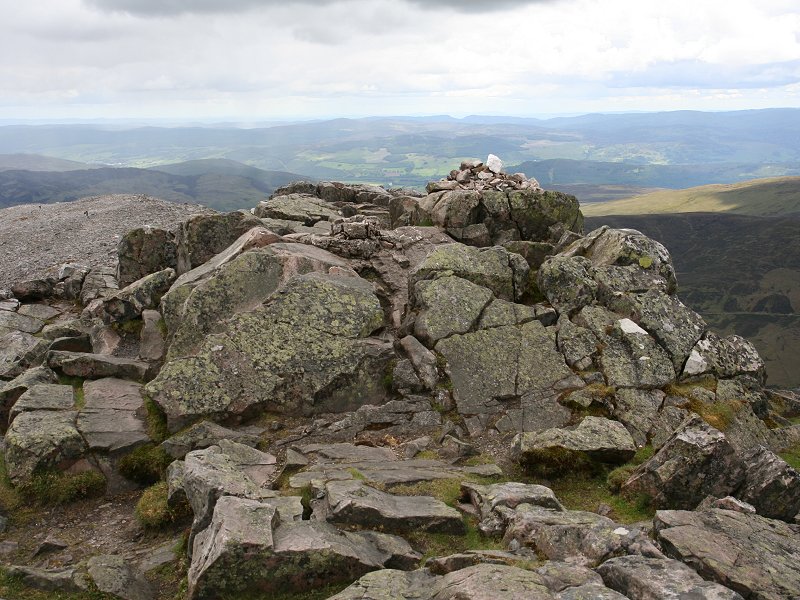  |
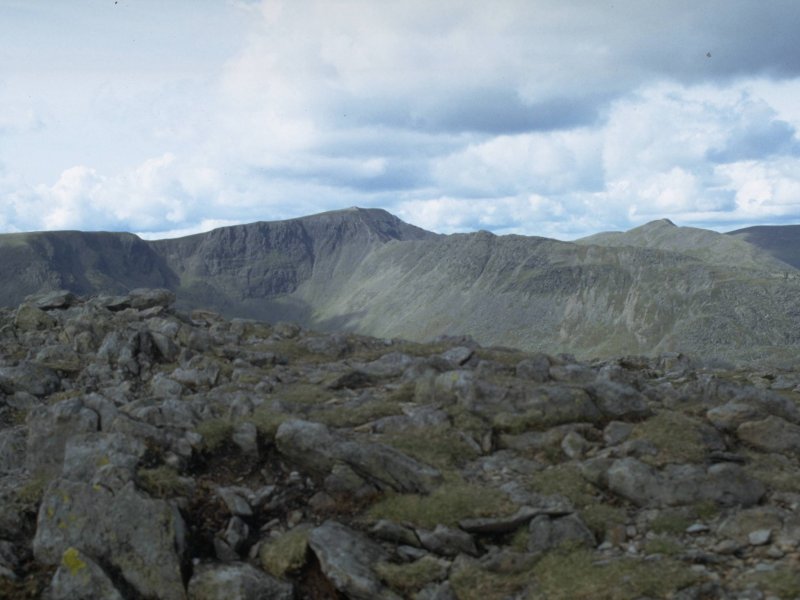
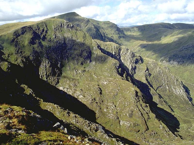
Schiehallion
Location: Scottish
Highlands, Perthshire Schiehallion is normally climbed along its long eastern ridge from a start at Braes of Foss. An excellent path rises to within roughly a kilometre of the summit but the rest of the way lays across an awkward boulder field, which can be rather tiring. The panorama is superb and includes the greater part of the Central Highlands and the Cairngorms along with Fife, the Pentlands and Lowthers, and a glimpse of the Strathfarrar Munros beyond the Great Glen. |
|
|
|
 |
Schil,
The
Location: The
Cheviots Notes: The Schil is on the England - Scotland border and is the last major summit on the Pennine Way. Those not walking the Pennine Way who wish to climb it would do best to approach from Kirk Yetholm along the Way - the ascent would probably take some three hours. There is little foreground interest but the far panorama includes significant chunks of southern Scotland, out as far as the Tweed valley. |
|
|
|
  |
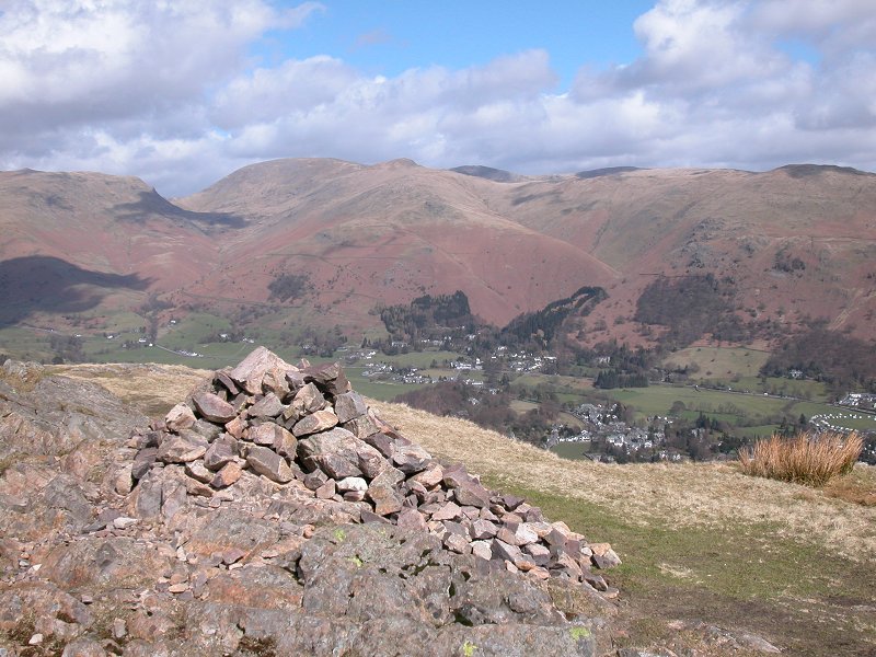
Seat Sandal
Location: Lake
District,
Eastern Fells Notes: Seat Sandal appears as a great dome of a hill from Grasmere, which it overlooks from the northeast. Its long western flanks form the east wall of the pass of Dunmail Raise, between Ambleside and Thirlmere. It is an outlier of Helvellyn and can be reached by the grassy col between it and Dollywaggon Pike. The col stands above Grizedale Tarn. The mountain panorama from Seat Sandal is very good, especially the views of Helvellyn, Skiddaw, and the fells west of Derwentwater. |
|
|
|
 |
Selworthy
Beacon
Location: Exmoor,
Somerset Notes: The highest point of the detached part of Exmoor lying north of the Porlock - Minehead gap, Selworthy Beacon is barely a kilometre from the Somerset coast and thus boasts glorious views over the Bristol Channel and to Wales. It is easily ascended from either Porlock or Minehead by the Somerset coast path, though more sedentary walkers will notice the adjacent road and car park. A bus service runs to Selworthy Beacon from Minehead during the summer. |
|
|
|
  |
Sergeant
Man
Location: Lake
District,
Central Fells Notes: Regarded as one of the Langdale Pikes yet properly just a minor top of High Raise, Sergeant Man is a popular target for walkers ascending the Pikes from Grasmere via Easedale. The ascent is a fine expedition but for the quarter mile of difficult terrain in upper Easedale below Belles Knott. The terrain around the summit is surprisingly rocky. The best views are to the east and south, encompassing Easedale itself and the Helvellyn, Fairfield and Coniston fells. There's an easy ridgewalk to both Thunacar Knott and High Raise, and the eastern slopes (which include the delightful dell of Codale Tarn) are also worth exploring. |
|
|
|
  |
Sgurr nan Conbhairean
Location: Scottish
Highlands,
Kintail |
|
|
|
  |
Sharp Haw
Location: Yorkshire
Dales |
|
|
|
 |
Sheffield
Pike
Location: Lake
District, Eastern Fells |
|
|
|
 |
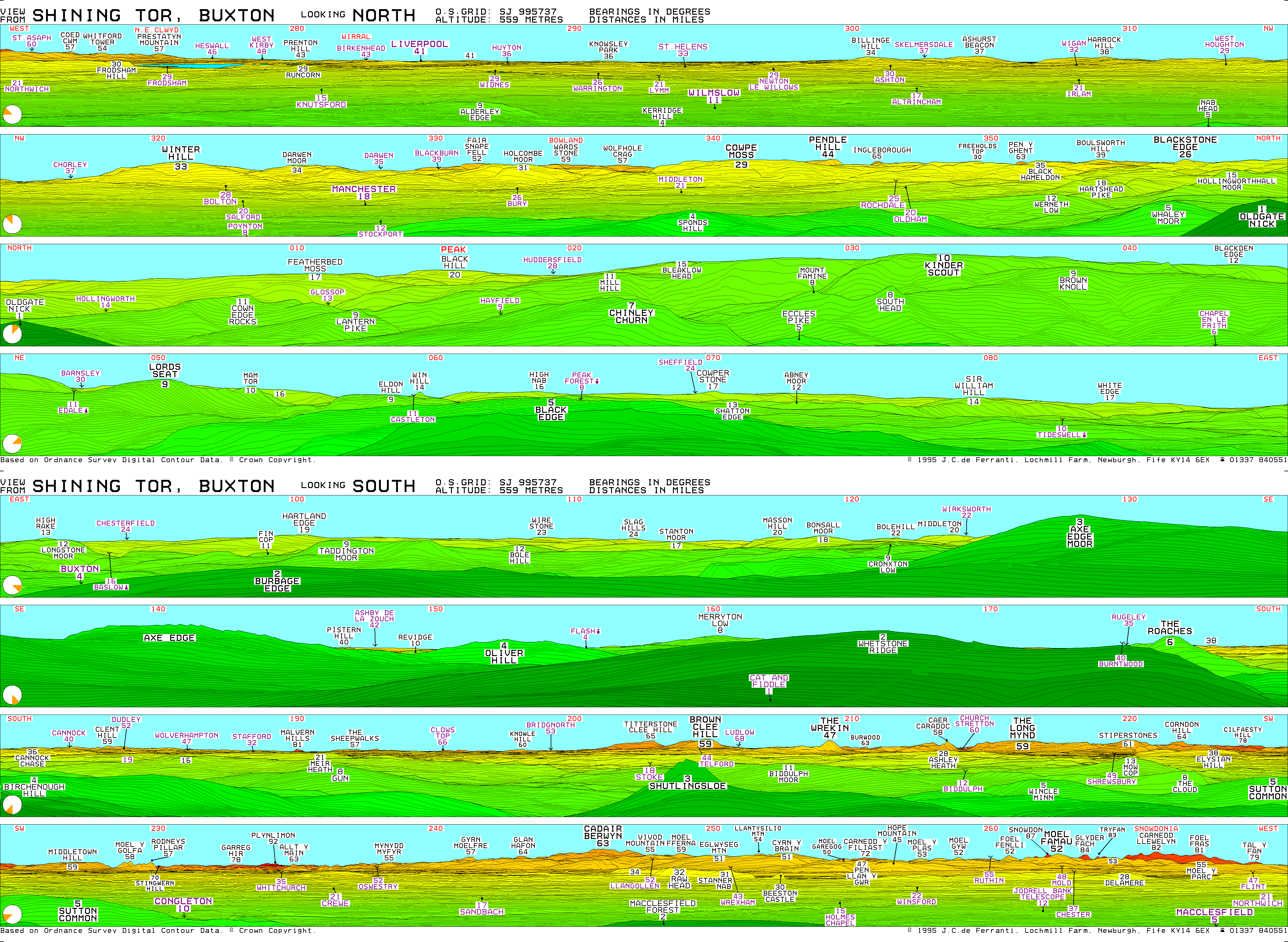
Shining
Tor
Location: Peak
District |
|
|
|
 |
Silver
How
Location: Lake
District,
Central Fells |
|
|
|
  |
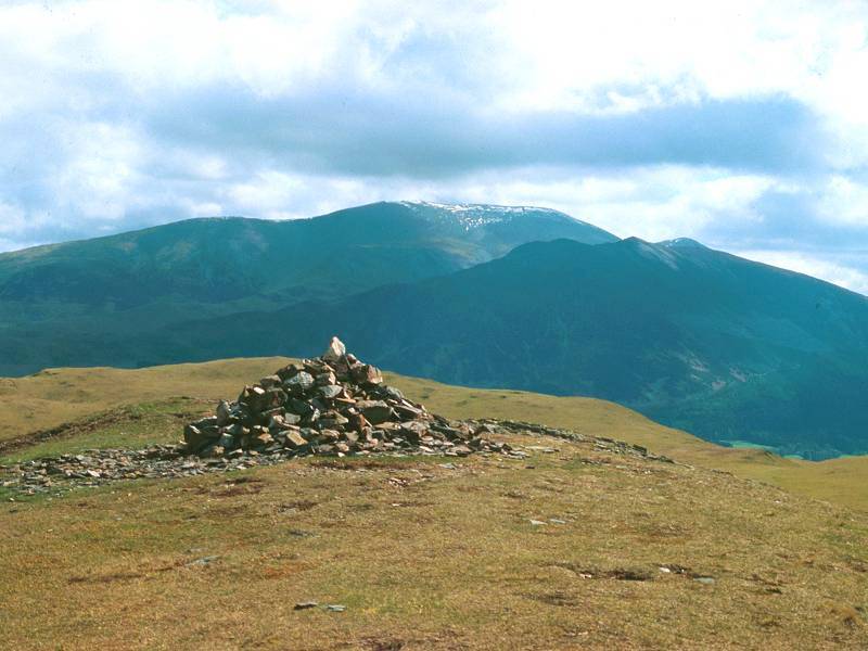
Skiddaw
Location: Lake
District, Northern Fells |
|
|
|
 |
Sourfoot
Fell
Location: Lake
District, Western Fells |
|
|
|
 |
Souther
Fell
Location: Lake
District, Northern Fells |