 |
Beinn Ghlas
Location: Scottish
Highlands, Perthshire |
|
|
|
 |
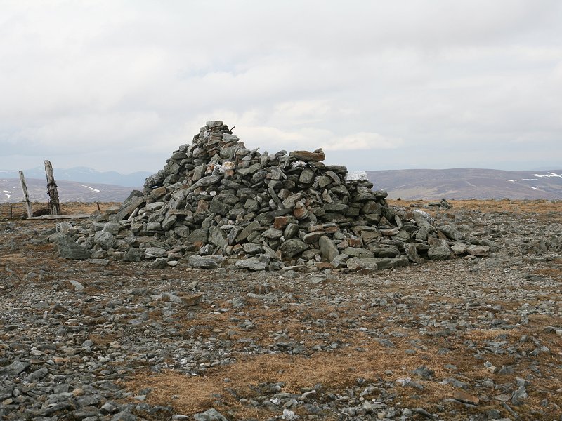
Beinn na Lap
Location: Scottish
Highlands, Corrour |
|
|
|
 |
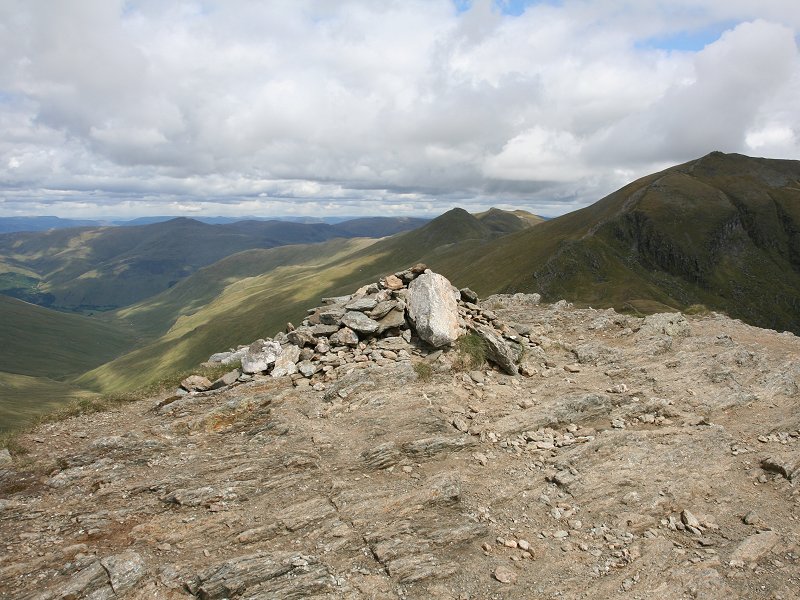
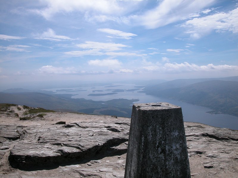
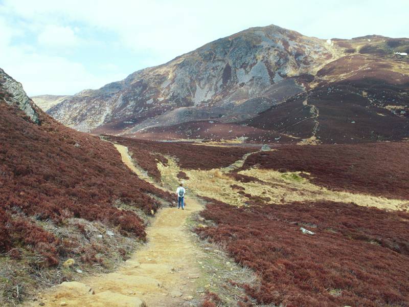
Beinn Narnain
Location: Scottish
Highlands,
Arrochar Alps Notes: Standing adjacent to the lower but craggier Ben Arthur ("The Cobbler"), Narnain is one of three mountains overlooking Arrochar and the head of Loch Long from the north. A pathway that formerly served the construction of a nineteenth century water supply gives access to Narnain's slopes and continues to the summit, but above the middle terrace there are a number of awkward places and mild scrambles that require care, and are cumulatively tedious. A steep gully rises past a fearsome rock formation called the Spearhead to gain the broad, flat summit plateau. An easier way up is from the col to the rear, between Narnain and Ben Ime. The stony summit rewards you with excellent views along Loch Long, over to Ben Lomond, and northwards towards Ben More. |
|
|
|
  |
Bellever
Tor
Location: Dartmoor |
|
|
|
  |
Ben
Chonzie
Location: Scottish
Highlands, Perthshire |
|
|
|
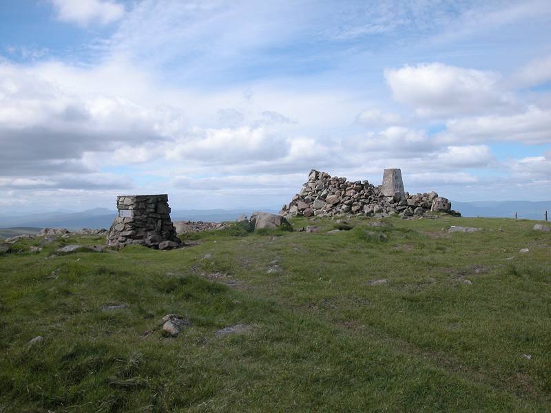 |
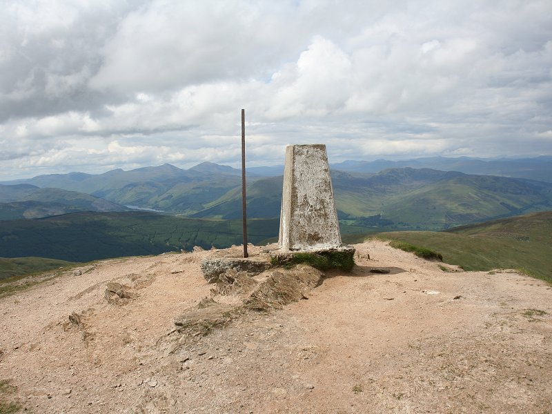
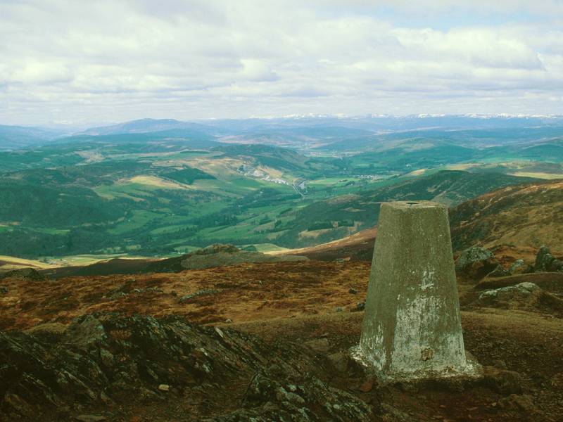
Ben Cleuch
Location: The
Ochils Notes: Ben Cleugh is the highest summit in the Ochils, a range of hills lying north of the Forth between Stirling and Perth. Its situation makes it one of the best viewpoints in Scotland: the view ranges to Glas Maol and Ben Macdui in the north, Ben Lomond and the Arrochar Alps in the west, North Berwick Law to the east and far into the Southern Uplands to the south. The northwestern arc includes Stuc a' Chroin, Ben Vorlich, the Glen Falloch Munros, Ben More and Ben Lawers, and it's the one place from which Edinburgh, Glasgow, Perth, Stirling and Falkirk can all be seen at once. The sprawling, grassy top can be approached on paths from Alva or from Tillicoultry; the latter approach includes the spectacular start of Mill Glen though the ascent is steep in parts. |
|
|
|
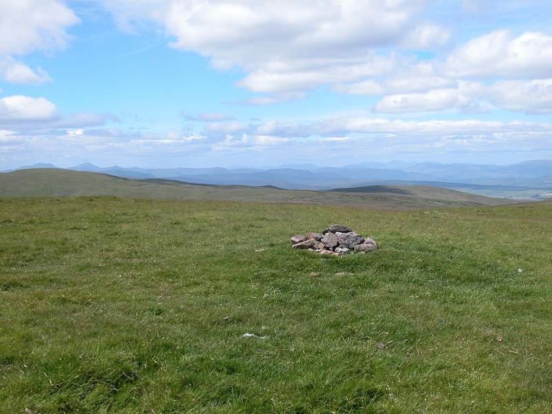 |
Ben Ever
Location: The
Ochils Notes: A southwestern outlier of Ben Cleuch, the highest top in the Ochils. The broad grassy ridge is windswept and largely featureless, and Ben Ever is not a particularly rewarding top save that its ascent is either a preamble or a postscript to that of Ben Cleuch itself. A good path goes up from Alva, nar Stirling. The view is interesting, taking in much of the Forth valley, but the view from nearby Ben Cleuch is much better. |
|
|
|
 |
Ben Gulabin
Location: Scottish
Highlands, Mounth |
|
|
|
 |
Ben Lawers
Location: Scottish
Highlands, Perthshire |
|
|
|
  |
Ben
Ledi
Location: Scottish
Highlands,
The Trossachs Notes: Bed Ledi is one of Scotland's easiest Corbetts, situated a handful of miles west of Callander within the boundaries of the recently created Loch Lomond National Park. A path rises through forest plantations to gain Ben Ledi's eastern ridge, from which the climb to the summit is not much more than a stroll. Ledi can be seen across the plains of Stirlingshire from much of Scotland's central belt, and the view across this region from Ledi's summit is magnificent. Through the north and west there is a vista of mountains too numerous to count, though they include Ben Lomond, the Arrochar Alps, Ben More, Stobinian and the Ben Lawers group. |
|
|
|
  |
Ben
Lomond
Location: Scottish
Highlands,
Loch Lomond |
|
|
|
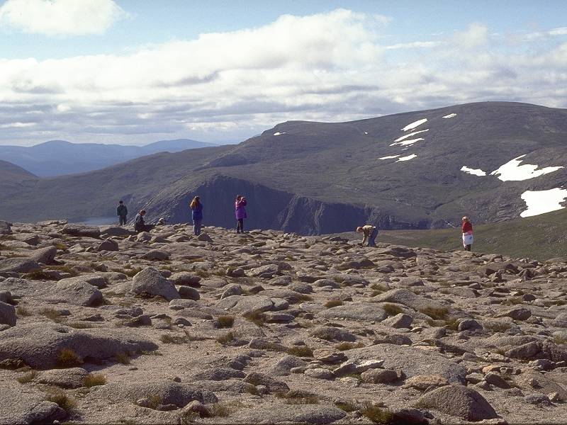 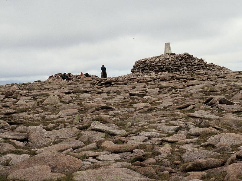 |
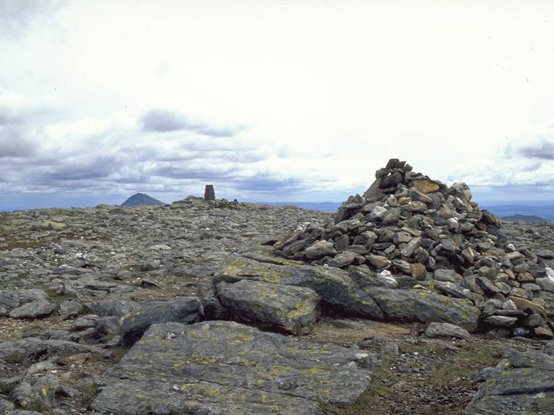
Ben
Macdui (Beinn
Macduibh)
Location: Scottish
Highlands,
Cairngorms Notes: The second highest mountain in Britain, and situated in a remote spot at the centre of the Cairngorms massif, Macdui unfortunately has little aesthetic appeal. It is only really visible from tops of other mountains in the range, and from almost every direction it appears as a shapeless lump. The top picture shows Macdui seen from Cairn Gorm. The summit is a stony, frost-shattered wilderness though it features a well-built shelter and a topograph. Macdui is reasonably easy to ascend from the base station of the Cairngorm mountain railway, by way of the spur between Coire Cas and Coire an t-Sneachda and then across the plateau, though this is an expedition to be undertaken only in fine, settled weather. It can also be climbed from Braemar via Glen Derry, but the distances involved are daunting. The name probably means "MacDuff's Mountain". |
|
|
|
 |
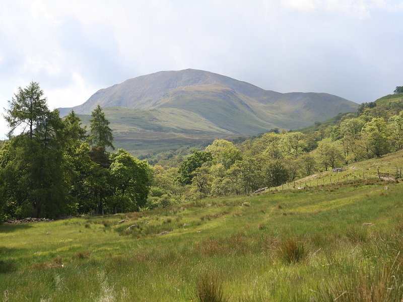
Ben
More
Location: Scottish
Highlands, Stirlingshire |
|
|
|
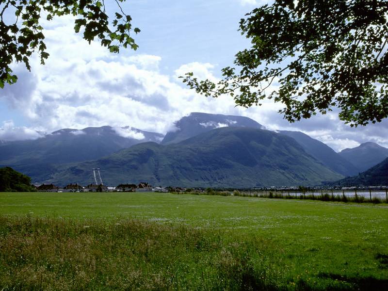 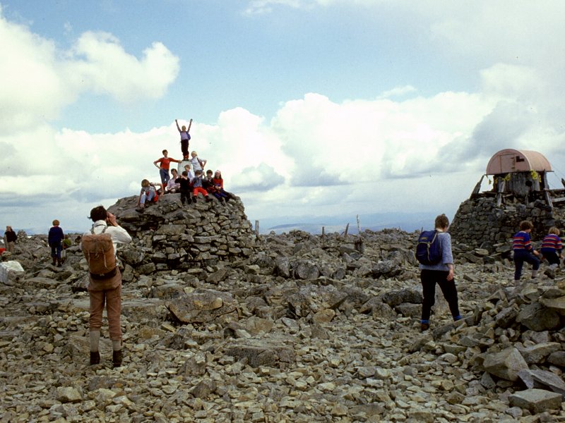 |
Ben Nevis
Location: Scottish
Highlands,
Lochaber Notes: Number One, the Roof of Britain, the highest point of our nation - and never was a summit so cluttered. The airy top was once home to a weather station and a very rudimentary hotel, though nowadays it boasts no more than a cairn, a thrown-together shelter and half a ton of litter. As the highest point in Britain it attracts a great many visitors, some of them unfortunately ill shod and unprepared for the conditions. There is an excellent stony track all the way up, from Achintee Farm just outside Fort William. The summit dome is rough and bouldery, devoid of vegetation, and snowbound for much of the year. The views, however, are glorious and extend over pretty much all the Highlands. The name (properly Beinn Nibheis) is obscure and is thought to have been imported into Gaelic from some even older language. |
|
|
|
  |
Ben Vorlich
Location: Scottish
Highlands, Stirlingshire |
|
|
|
  |
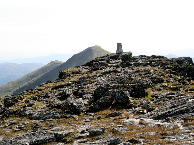
Ben Vrackie
Location: Scottish
Highlands,
Perthshire Notes: Ben Vrackie is one of the most accessible mountains in this corner of the Highlands, situated within three miles of the town of Pitlochry. There is a good path all the way, initially along residential roads and then a farm driveway and a woodland path. The view from the summit is excellent, encompassing the Ben Lawers group, Schiehallion, the Glen Tilt hills, the Mounth and the Ochils. The name is possibly a corruption of Beinn Bhreac ("speckled mountain"). |
|
|
|
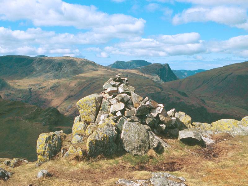 |
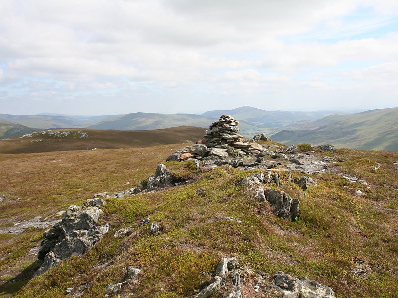
Bessyboot
Location: Lake
District,
Southern Fells Notes: Wainwright
gives the
quaintly named top of Bessyboot as the summit of Rosthwaite Fell,
though
the official summit of the latter is a few hundred metres away, just
east
of Tarn at Leaves. The fell overlooks upper Borrowdale and is in effect
the northeasternmost outlier of Scafell Pike. It can be combined with
Allen
Crags and Glaramara in a ridgewalk but the intervening country is very
rough, and Bessyboot is more normally climbed on its own. For a
relatively
minor fell it is unusually difficult to ascend. The standard route via
Stanger Gill from Stonethwaite is steep and unpleasant, and I would
recommend
a pathless but much easier ascent by the grassy western slopes from
Comb
Gill and the Glaramara path. Bessyboot's panorama includes much of the
Scafell, Gable, High Raise, Grasmoor, High Stile and Dale Head groups,
and of course Skiddaw can be seen beyond Derwentwater. |
|
|
|
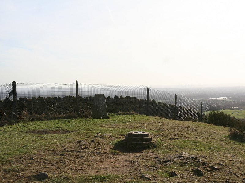 |
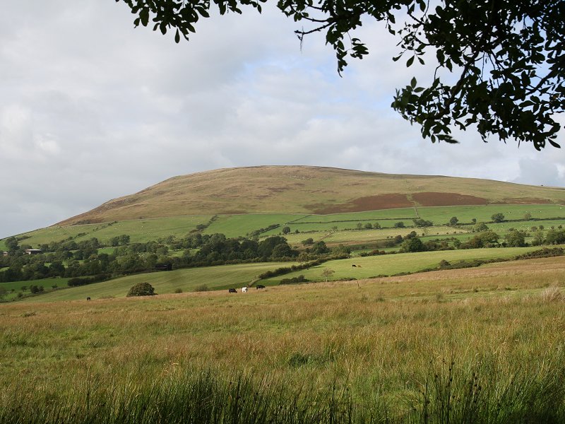
Billinge
Hill
Location: Lancashire
|
|
|
|
  |
Binsey
Location: Lake
District, Northern Fells |
|
|
|
 |
Birkhouse
Moor
Location: Lake
District,
Eastern Fells Notes: Striding Edge, the famous arete that forms one of Helvellyn's eastern ridges, broadens out at its eastern end to form the grassy plateau of Birkhouse Moor. Most walkers in this area are heading for Helvellyn and its ridges, and relatively few think to turn off and head for this grassy top as a worthwhile diversion. Standing as it does between the valleys of Glenridding and Patterdale, Birkhouse enjoys a splendid view of Ullswater, Helvellyn and its neighbours, and many of the Far Eastern fells. On clear days the northern Pennines are also prominent. Birkhouse is easily reached from any of the standard routes to Striding Edge, and I would recommend the Mires Beck path from Glenridding village. |