| Coverack to Helford | Back to South Cornwall Coast Path index | Place to Portloe |
| Coverack to Helford | Back to South Cornwall Coast Path index | Place to Portloe |
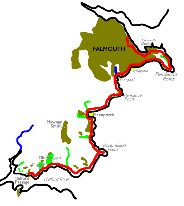
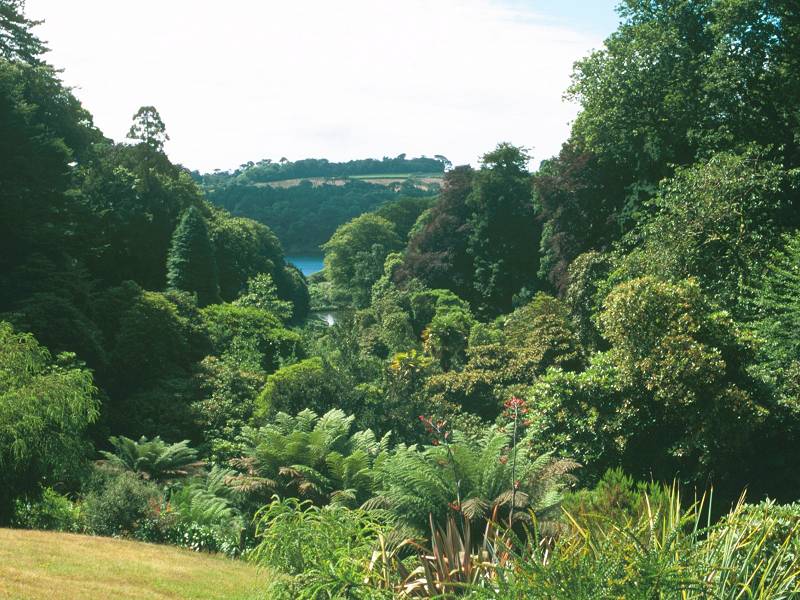
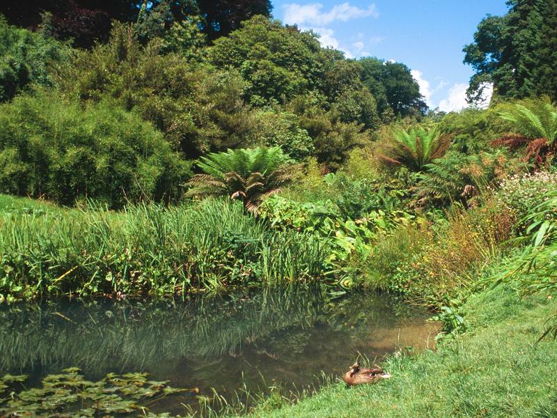
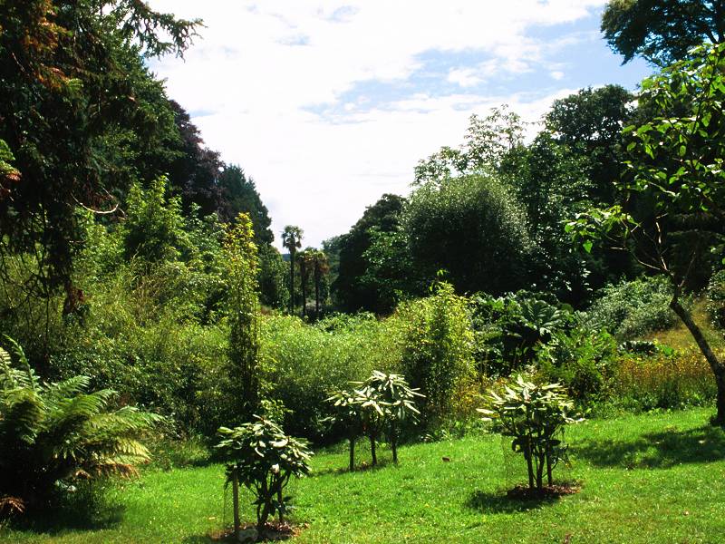
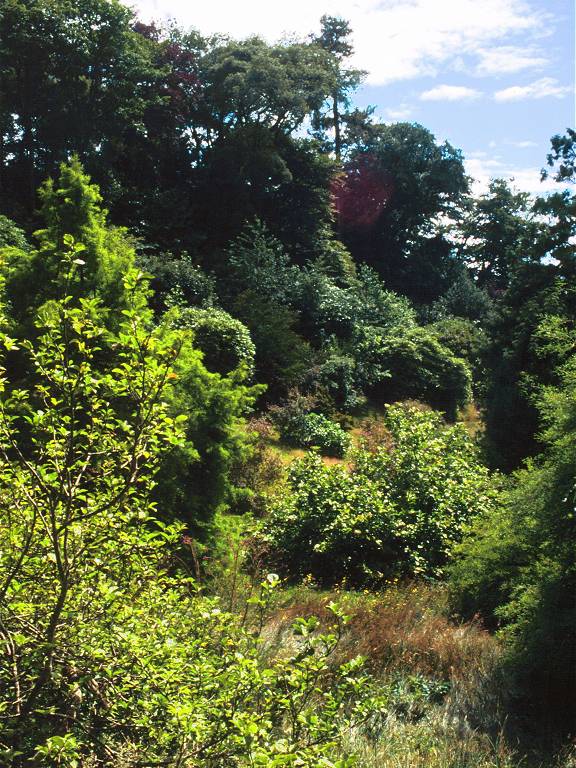
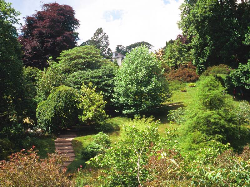
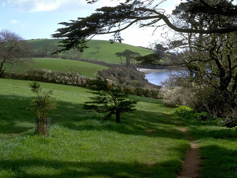
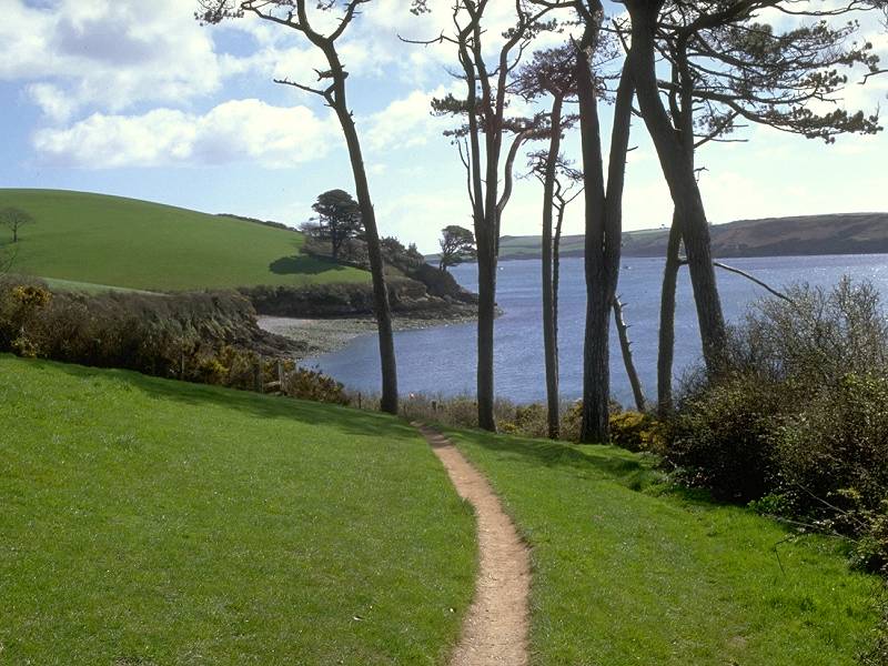
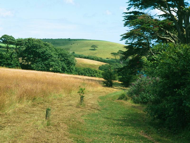
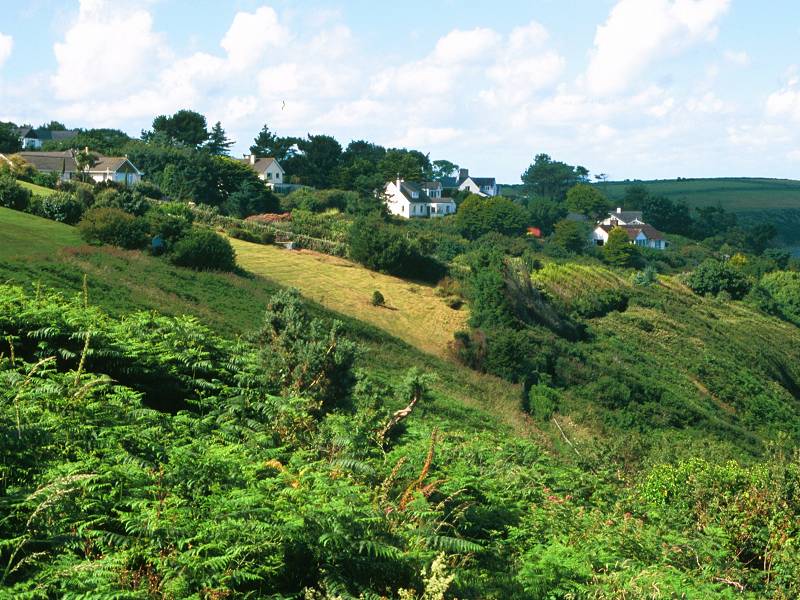
Much of the walk takes you across pastures and generally open land along the north side of the Helford river. Two fascinating gardens are passed, those of Trebah and Glendurgan; both of them occupy narrow, ravine-like clefts that run down to shingly beaches where they meet the coast path. They lie less than five hundred yards apart, and both are worth a visit of an hour and a half each; this is the principal reason why I recommend putting a whole day aside for this walk.
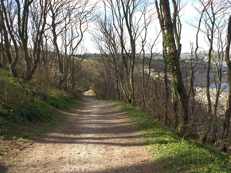
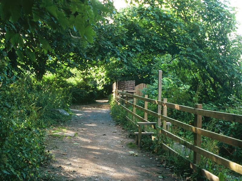
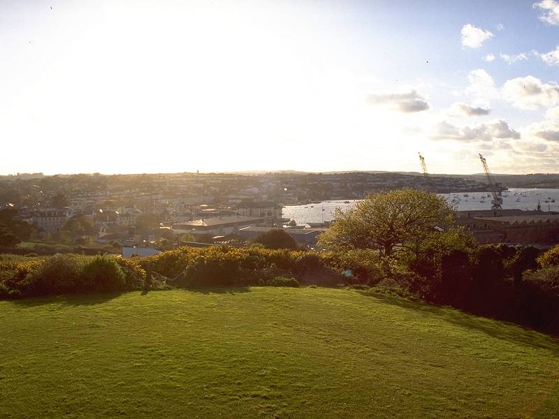
As the mouth of the Helford river is reached the path hugs scrubby slopes seawards of the village of Mawnan before heading out to the prominent headland of Rosemullion, an area of lush, grassy downland. Once round the headland the path gets hemmed in behind the back garden fences of the houses that comprise the village of Maenporth before descending sharply to the wide, shallow beach of Maenporth Bay with its shop, diving school and holiday villas. The path rounds this bay and heads up to Pennance Head among a riot of thorn bushes and other thick vegetation. As you come alongside Falmouth golf course you know that civilisation is near. The wooded crest of Pennance Head gives you your first view of Falmouth itself, with Pendennis Head and its castle jutting out to the east. The path is tree-lined for the short descent to Swanpool, which marks the outskirts of Falmouth. The rest of the walk is simplicity itself, involving a stroll along Falmouth's beachside promenade, the roadside walk out to Pendennis Point, and back along its north side to reach Falmouth docks and the town centre, to end at the pier from where you take the ferry to St Mawes to continue the walk on the following day.
|
|
|
| Length: | 9.81 miles / 15.8 km |
| Total ascent: | 1433 ft / 437 m |
| Total descent: | 1459 ft / 445 m |
| Estimated time: | 3 hrs 22 mins |
Click
on
any thumbnail image in this gallery to display the corresponding full
size
image. The images are access protected through a cgi script to prevent
hotlinking. If you encounter problems while trying to view the full
size
images, please read the access advice
page.
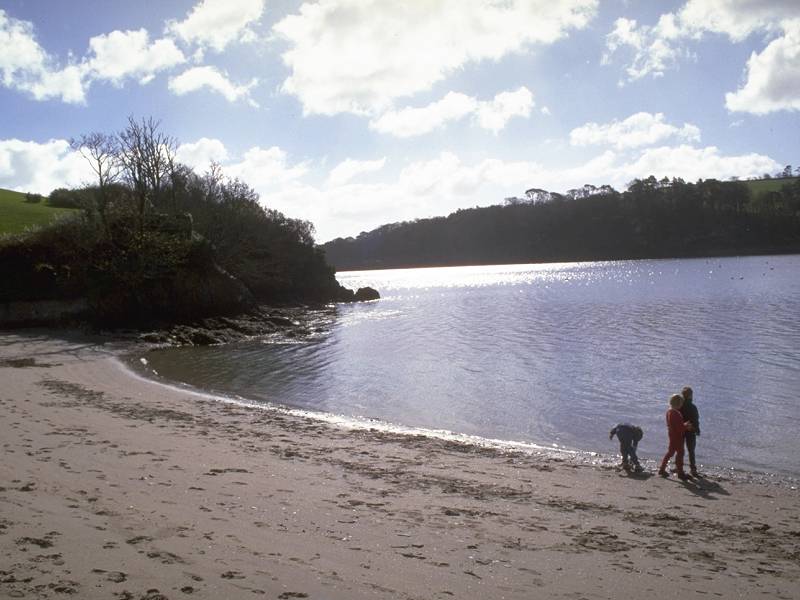


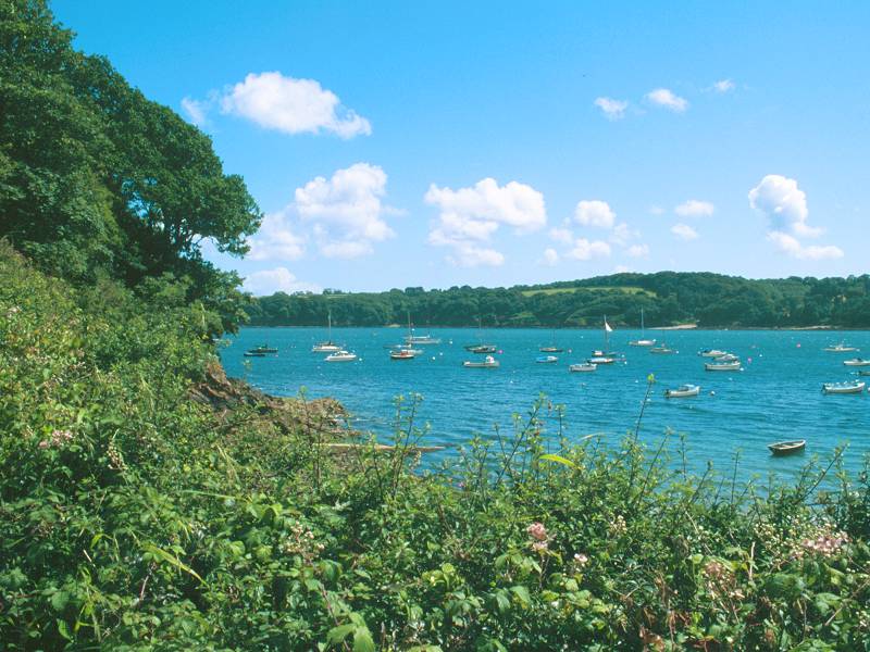
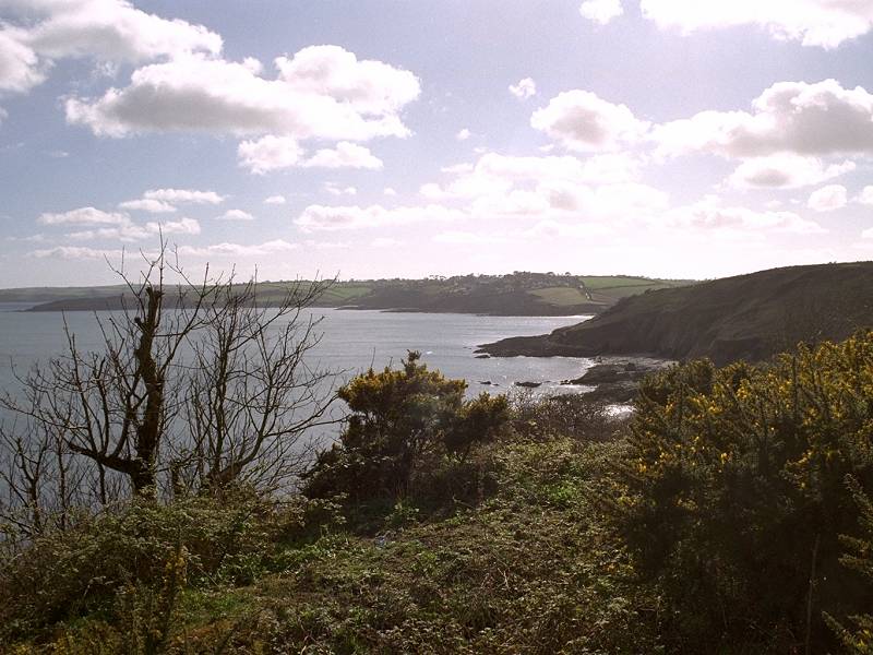
Helford river looking east; Helford Passage; Helford river looking west
Your first task is to cross to Helford Passage by ferry across the river from Helford itself. If you finished yesterday's walk at Helford and are commencing today's from Helford Passage, it seems to be an unwritten rule of the coast path that you should still complete the ferry crossing, though if time or tides do not permit then you can leave it out with a fairly clear conscience. The ferry is based at Helford Passage and nominally runs hourly, from Easter to the end of October, except for a couple of hours either side of low tide when it will be grounded; otherwise it crosses to Helford and back at the posted times. During times of high demand it will make additional journeys, providing what is in effect a continuous shuttle service. Open the board on the slipway at Helford to display the request signal. If you've been able to cross Gillan Creek on foot then the tide will still be out when you reach Helford and you'll have a wait of an hour or two.
Your other possible approach to Helford Passage is by the bus service from Falmouth (or Helston); this service does not enter the village but stops at the road junction by Trebah Farm, six hundred yards inland up the lane.
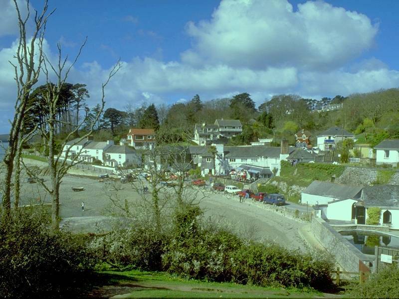

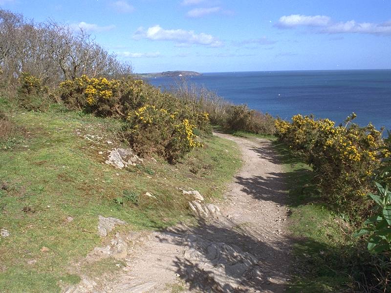
Leaving Helford Passage; the path to Trebah; Approaching Trebah
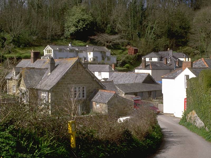
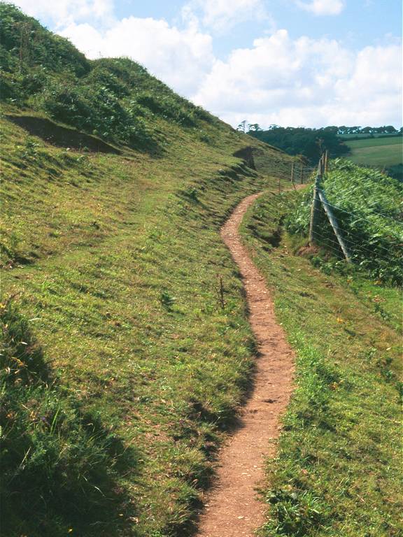
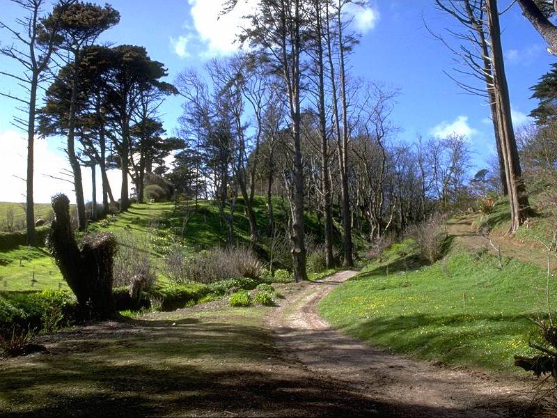
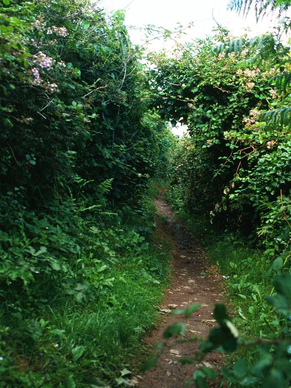
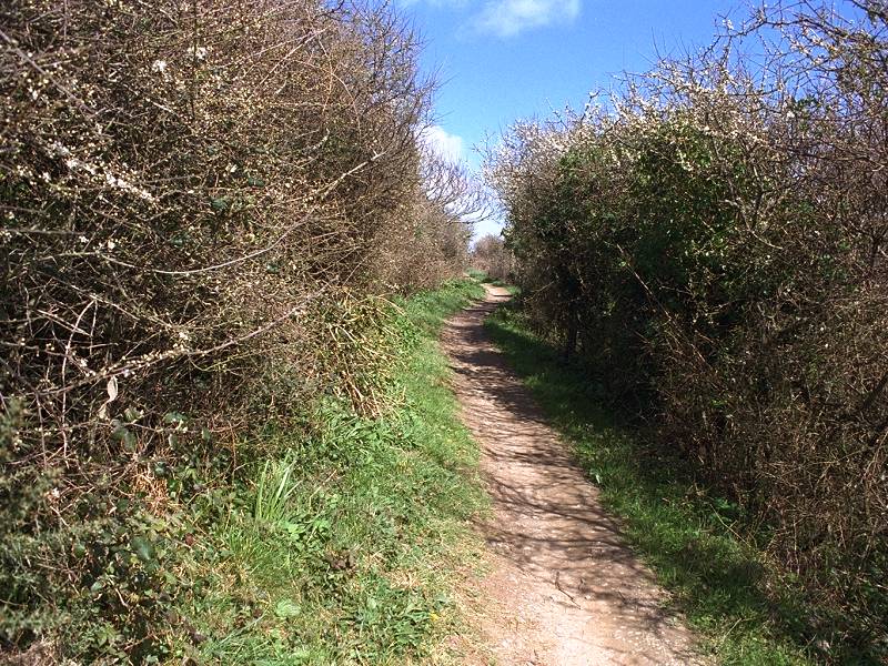
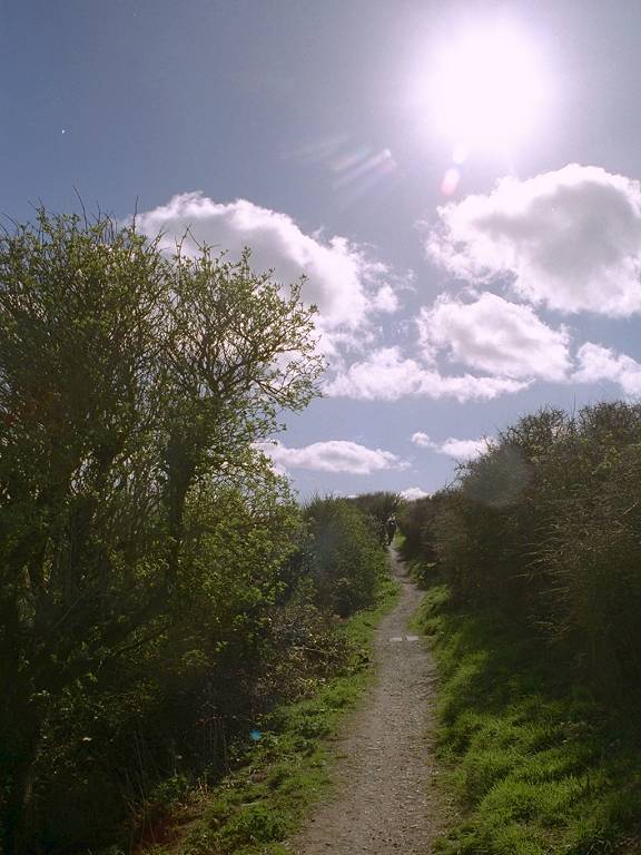
Helford Passage is a charming little cluster of houses and cottages, with an inn and a beach shop; it takes little time to explore but is worth a linger. The coast path commences near the eastern end of the little beach and is initially hemmed in by hedges, but soon climbs up onto a grassy pasture with excellent views along the Helford river. The path crosses this pasture and then descends to Trebah.
![]() Truronian
services T4 and T8 call at Trebah Farm crossroads ten minutes' walk
inland. The bus stop is signed "Helford Passage"
Truronian
services T4 and T8 call at Trebah Farm crossroads ten minutes' walk
inland. The bus stop is signed "Helford Passage"
![]() Connections
to Helston from Penzance / Falmouth, Mon-Sat
and
Suns
/ bank holidays
Connections
to Helston from Penzance / Falmouth, Mon-Sat
and
Suns
/ bank holidays
![]() Inns at
Helford
and Helford Passage.
Inns at
Helford
and Helford Passage.
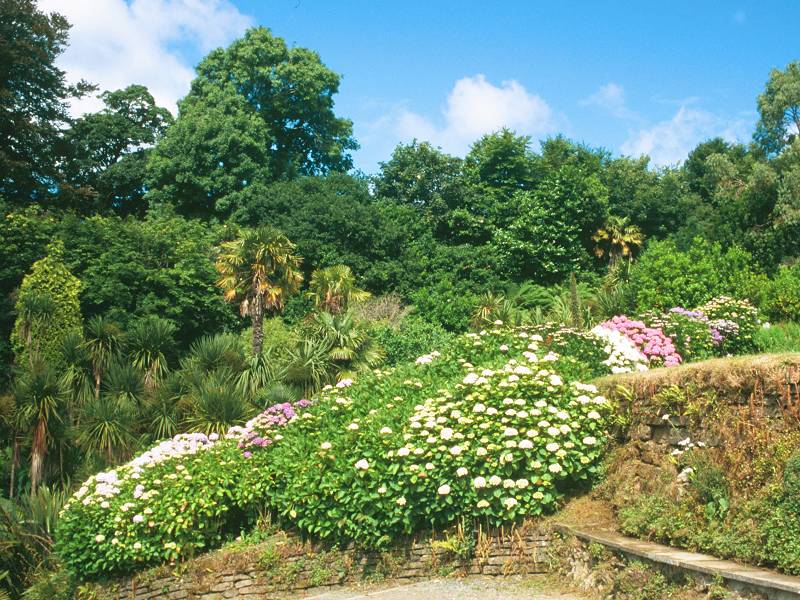
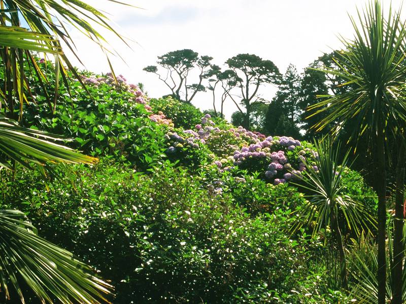
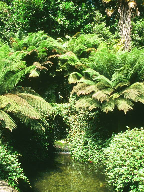
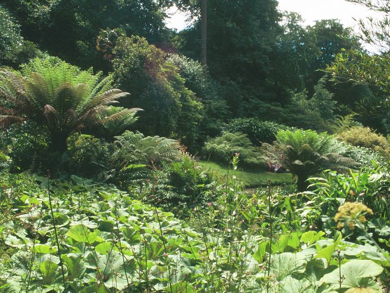
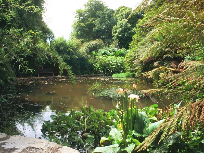
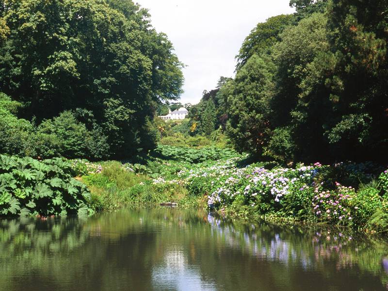
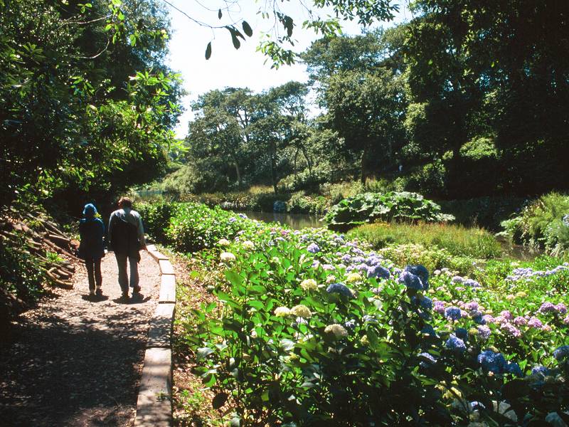
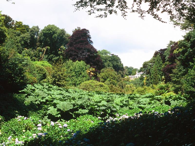
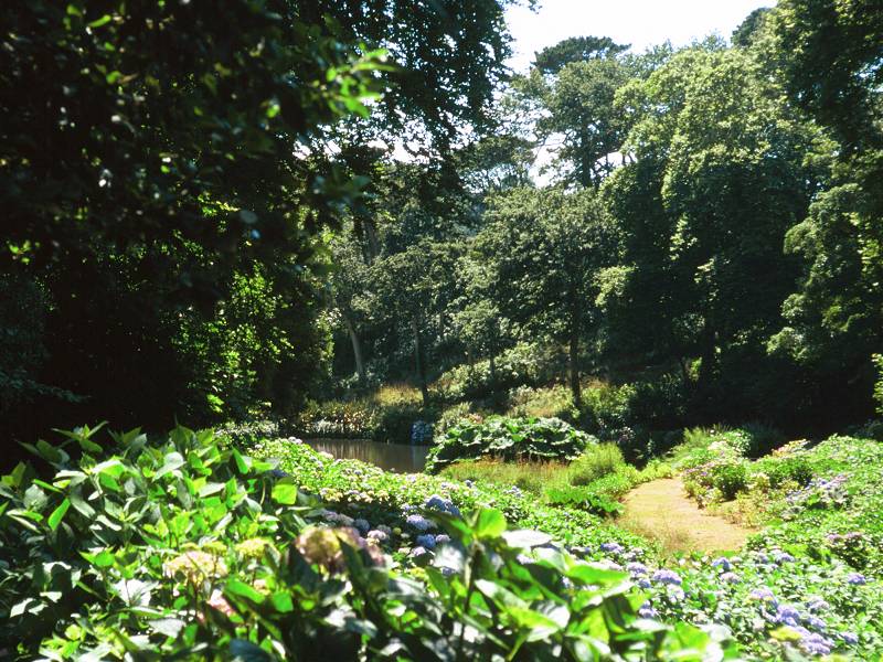
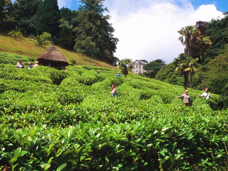
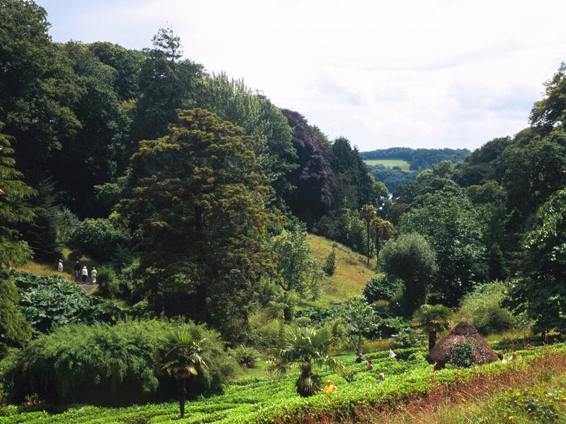
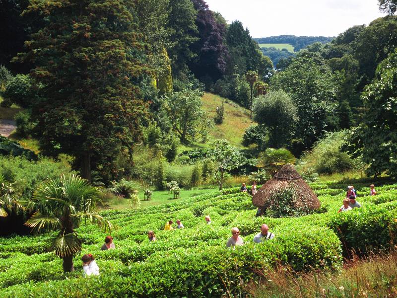
Trebah gardens
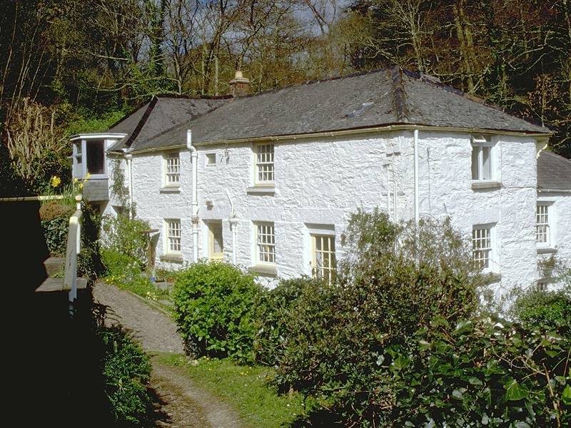
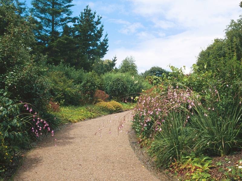
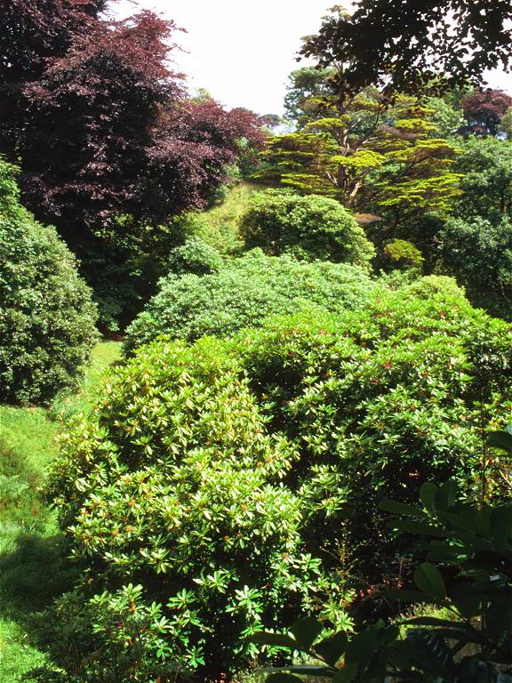
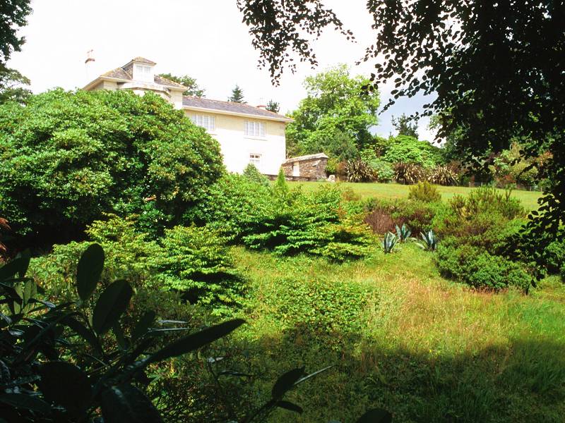
Trebah, the first of two gardens along this stretch, is a gem. There is no official access from the coast path, and in fact you'd have to shin over gates or walls to get in, but a notice reminds you to pay your entrance fee at the other end if you have gained access, so the owners are obviously expecting visitors to find a way in.
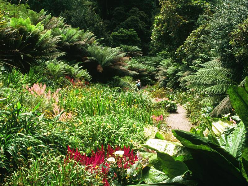

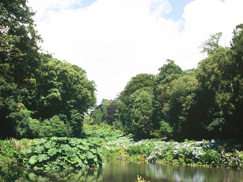
A Trebah Gardens portfolio
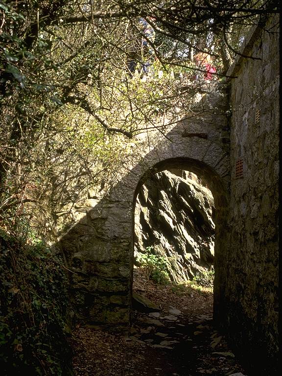
The beach is walled off from the coast path; the access path from the gardens to the beach is carried across the coast path by a stone-arched bridge.
A commemorative plaque by the pond at the foot of the gardens carries the somewhat surprising information that Trebah beach was an embarkation point for the D-Day landings in June 1944.
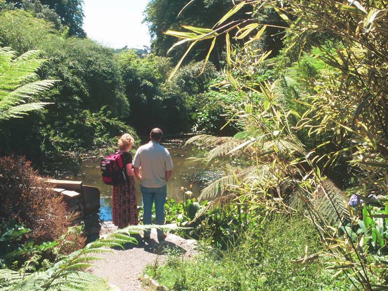
It is suggested that, if you intend to visit both gardens, you should visit Glendurgan first and then walk the short distance along the motor road to Trebah, thus coming back to the coast path at this point. Repeating the three hundred yards of path between Trebah and Durgan is preferable to missing it out. It's a short but beautiful section, with further splendid views along Helford river and more open pastures to delight the spirit.
![]() Tearooms
at Trebah
and Glendurgan gardens in season
Tearooms
at Trebah
and Glendurgan gardens in season
![]() Truronian
services T4 and T8 call at the road entrance to Trebah
Truronian
services T4 and T8 call at the road entrance to Trebah
![]() Trebah
Gardens website
Trebah
Gardens website
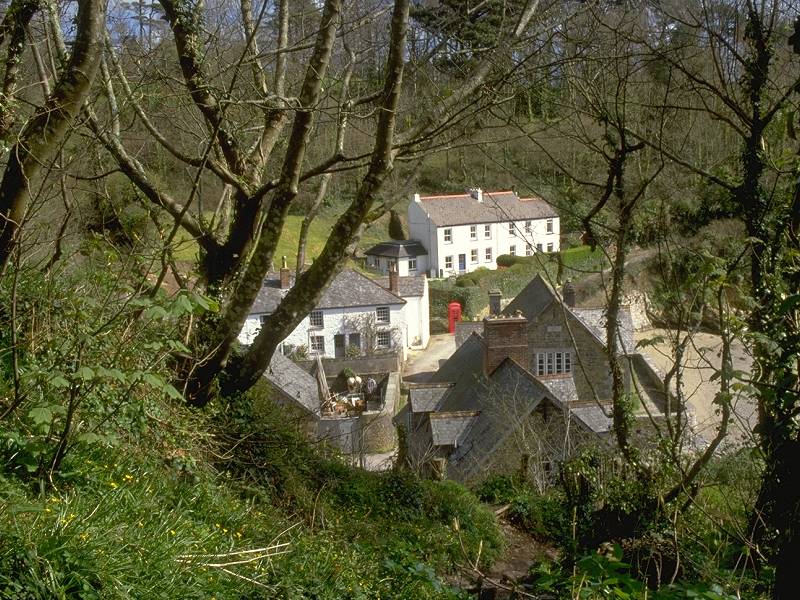
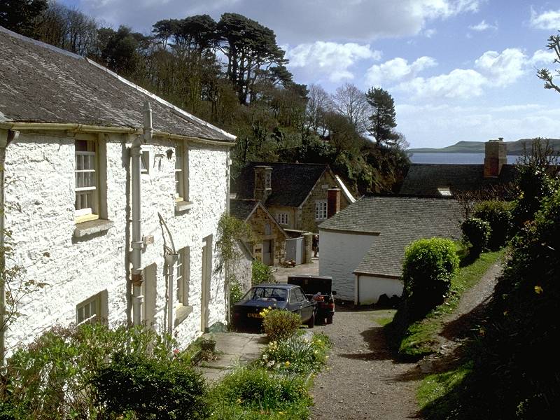
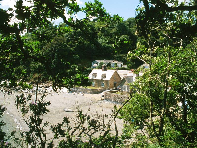
Three views of Durgan
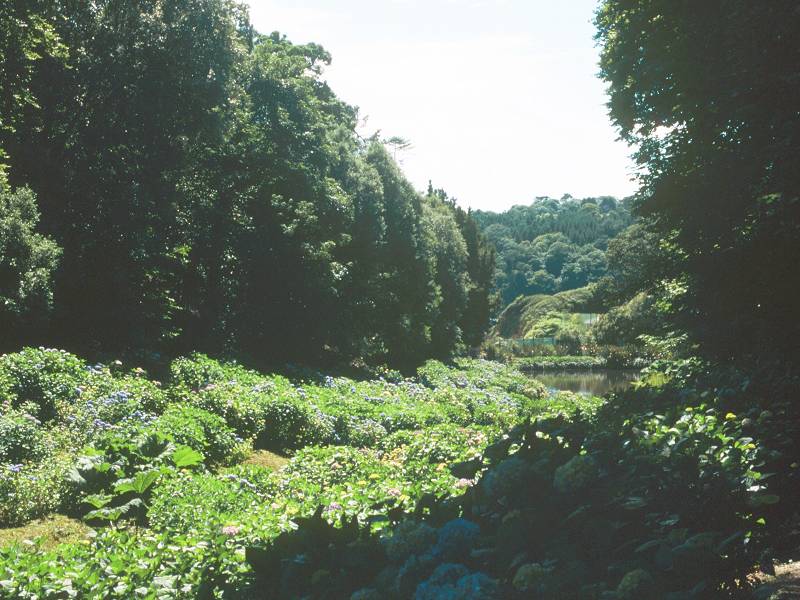
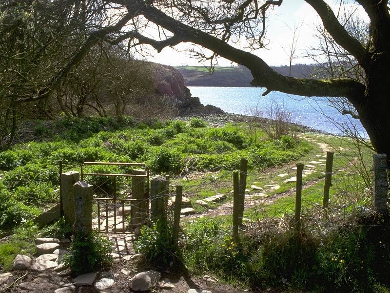
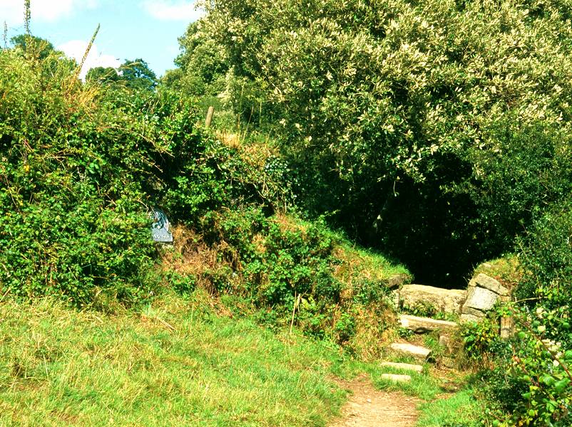
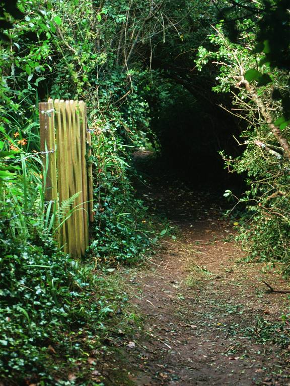
The National Trust-owned village of Durgan nestles deeply within its ravine-like cove, and is only really visible from out in the river or from the path along the other bank. It exists in something of a time-warp - the Trust, Britain's premier conservation body, maintains it "just so". One consequence of the Trust's stewardship is that there are no facilities here. Glendurgan gardens can be reached from one of two gated paths that leave the cove to the north, one on each side of the ravine.
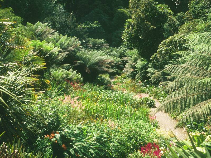
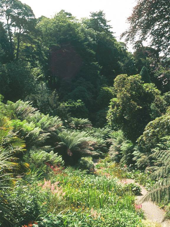
A Glendurgan Gardens portfolio, including the Maze
![]() CATA
- Glendurgan Gardens
CATA
- Glendurgan Gardens
![]() Truronian
services T4 and T8 call at the road entrance to Glendurgan
Truronian
services T4 and T8 call at the road entrance to Glendurgan
The beach; leaving Durgan
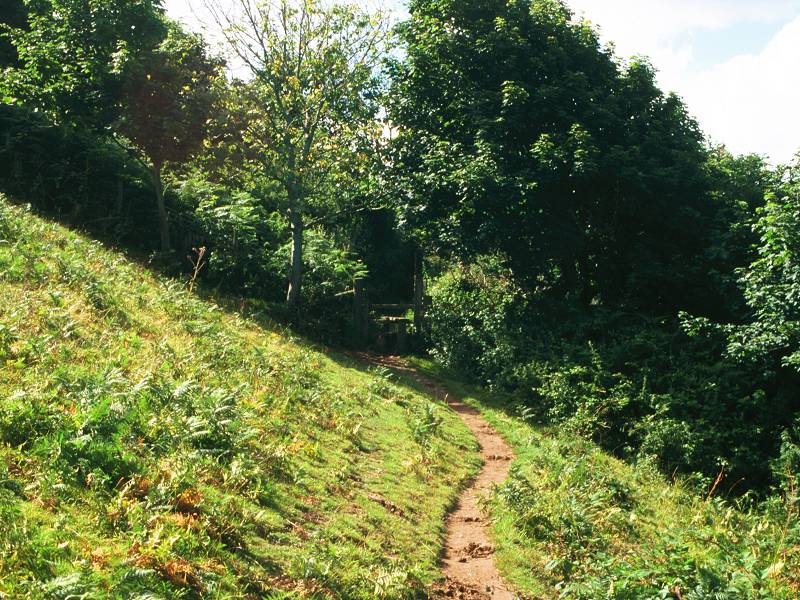
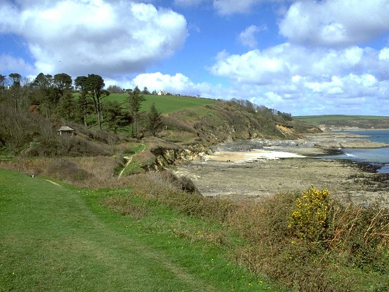
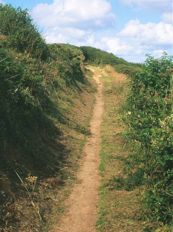
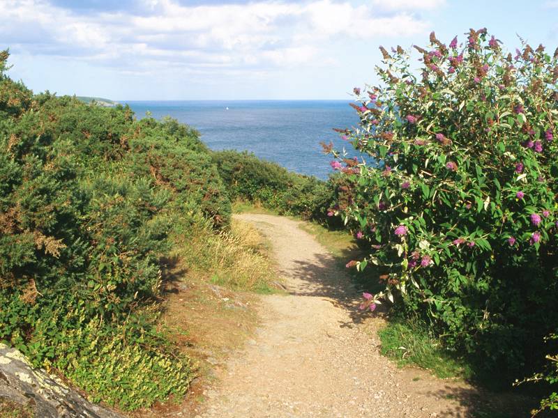
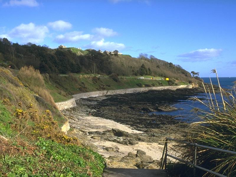
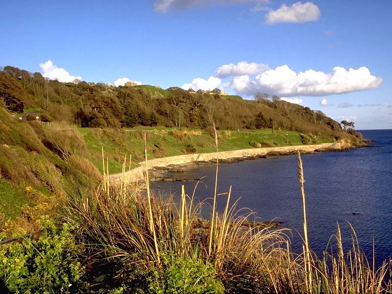
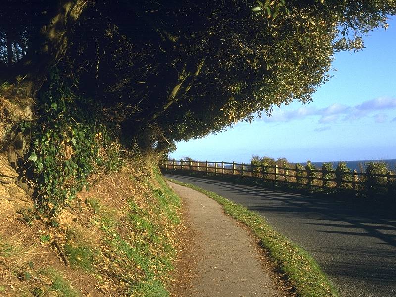
The coast path follows the road for a few hundred yards out of Durgan before crossing a stile to gain access to more open pastures. Take care not to select the wrong path; a local footpath descends through the woods above Grebe Rock but is a dead end. The coast path commences further on, passing fine stands of trees and giving views of the little bay of Porth Saxon.
The coast path from Durgan to Porth Saxon

Views of the coast path at Porth Saxon

The coast path above Parson's Beach
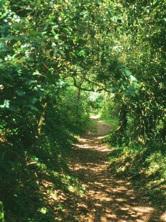
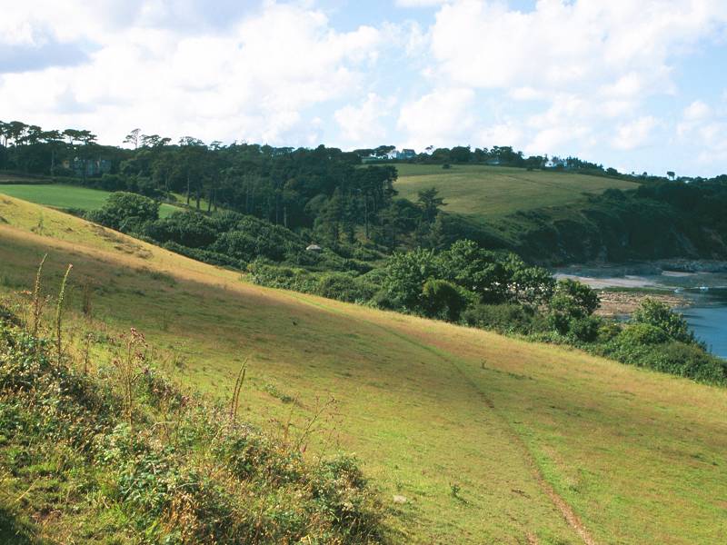
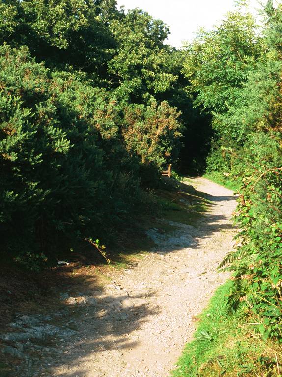
Mawnan Wood
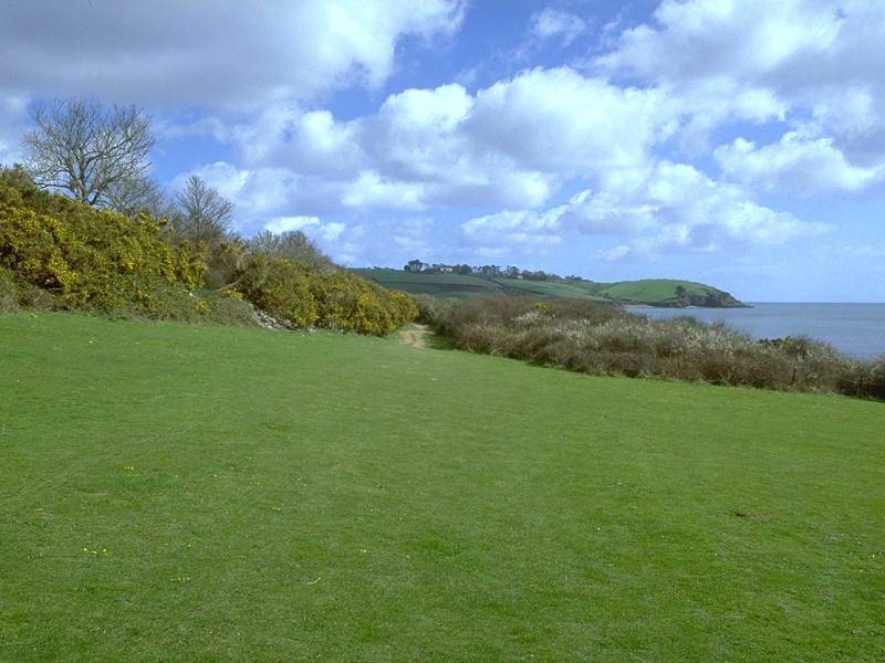
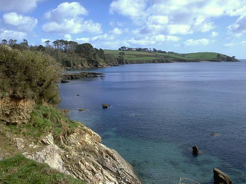
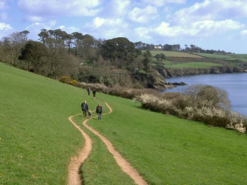
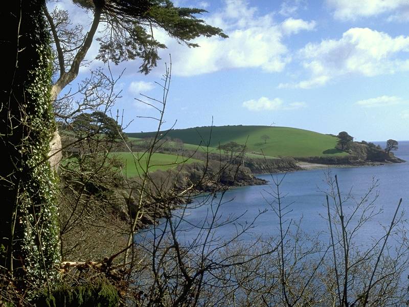
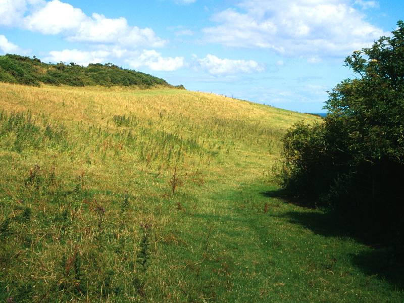
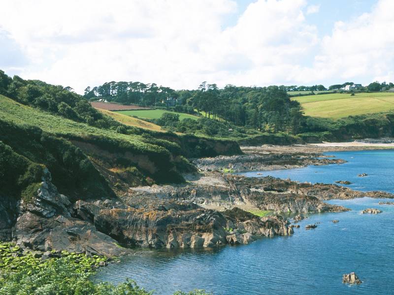
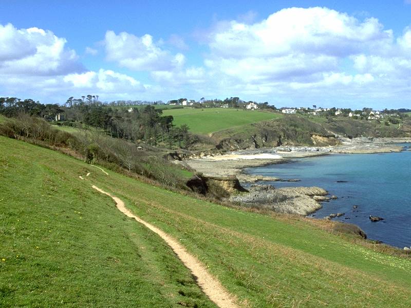
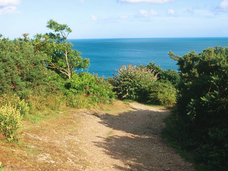
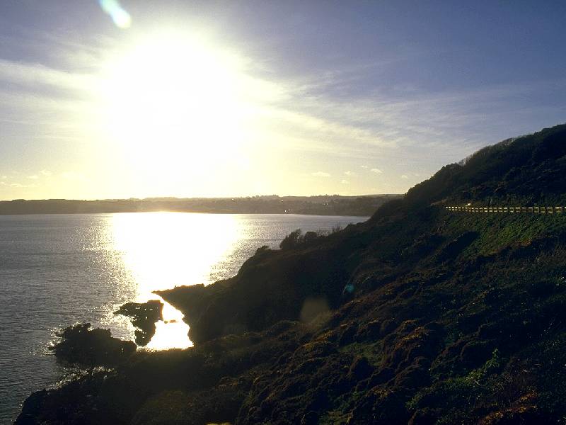
Beyond the wood the path enters a relatively uninteresting section of straightforward field walking out to Rosemullion head. At this point you have left the mouth of the Helford river and are about to enter Falmouth Bay.
Approaching Rosemullion head; Rosemullion head
Looking back at the Helford River; looking forwards to Falmouth

Scenes on Rosemullion Head; Gatamala Cove
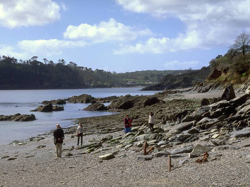
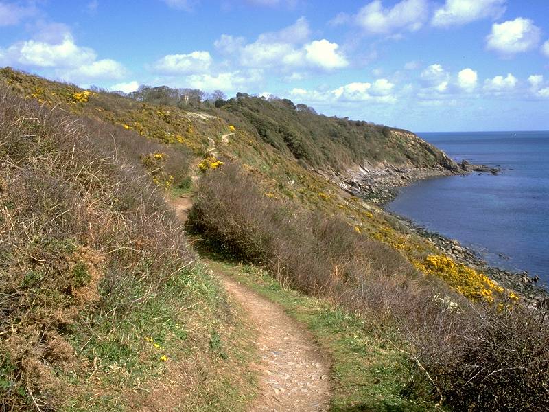
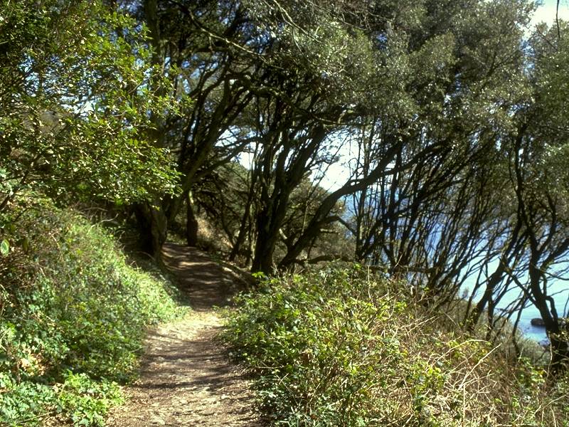
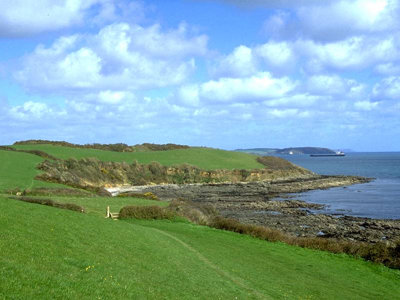
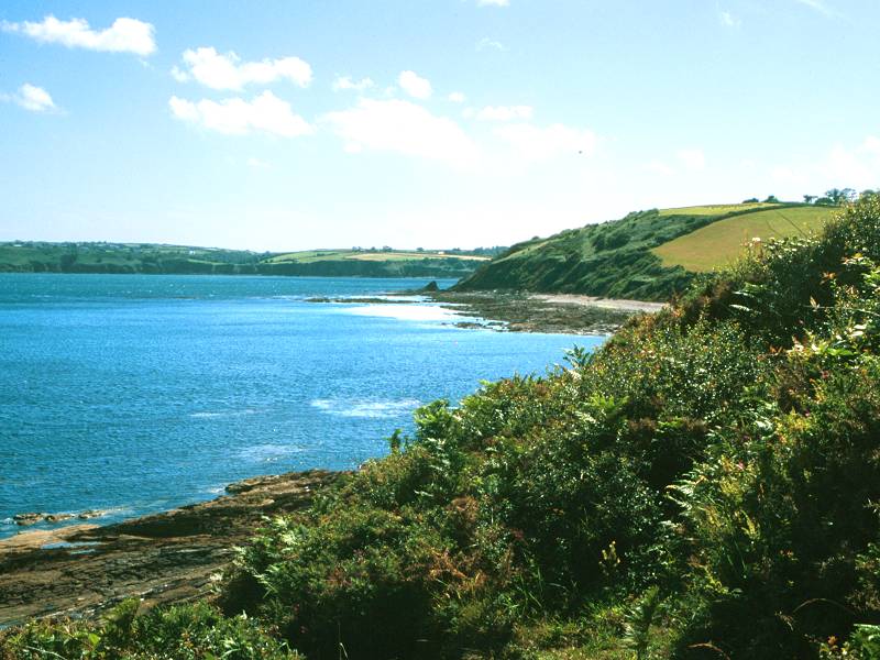
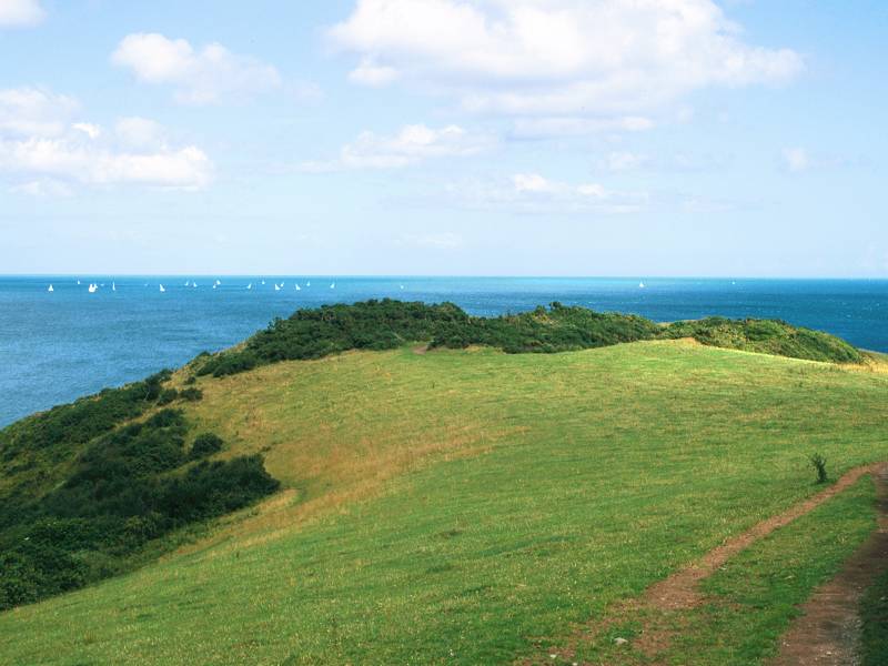
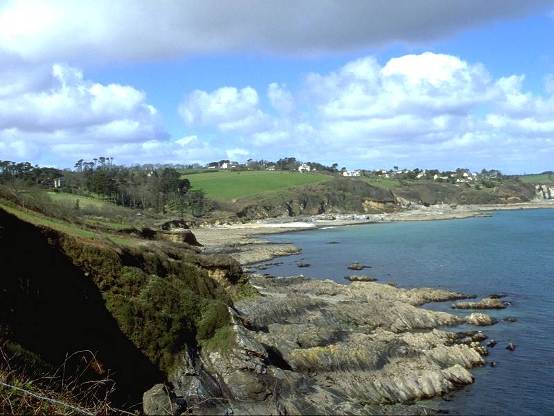
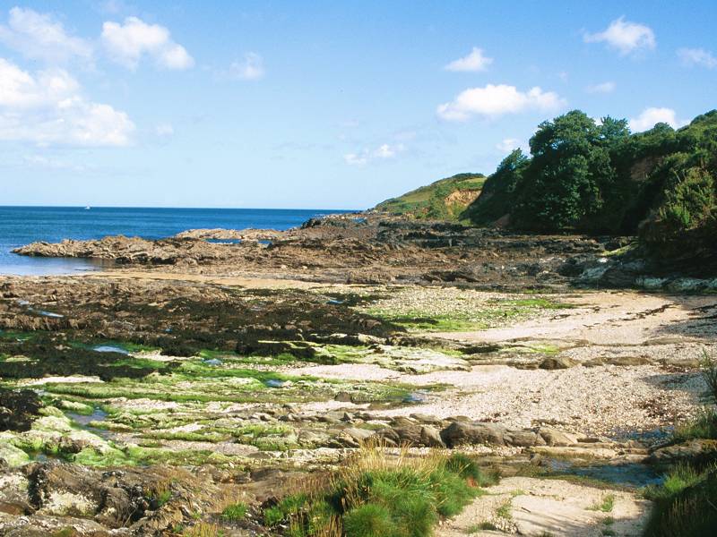
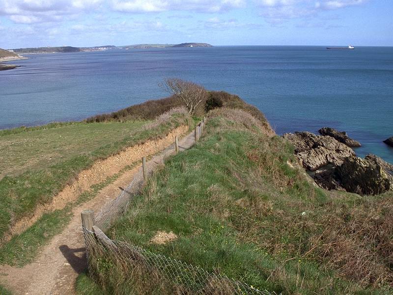
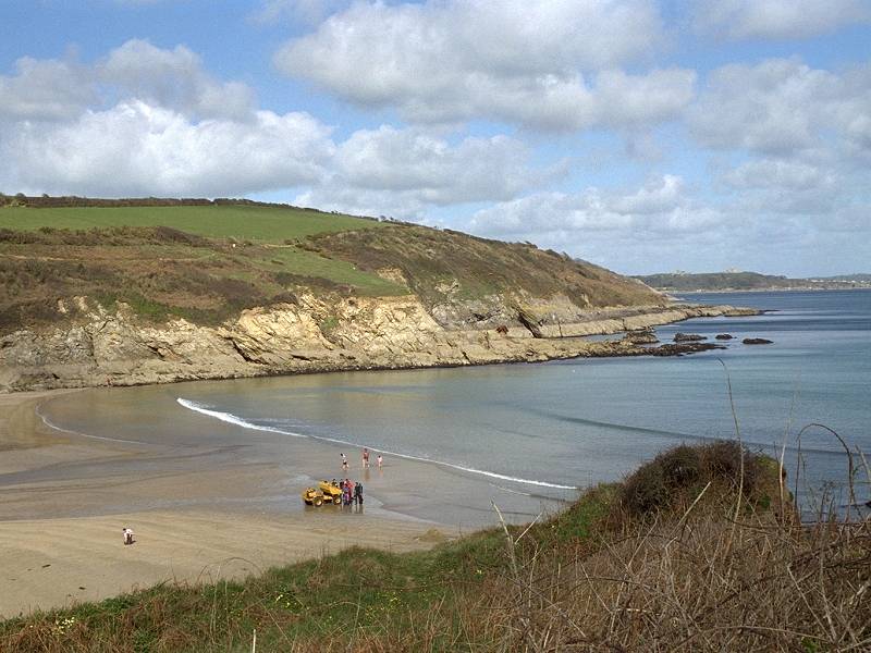
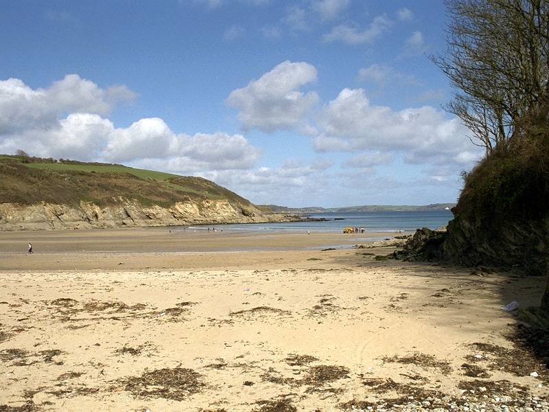
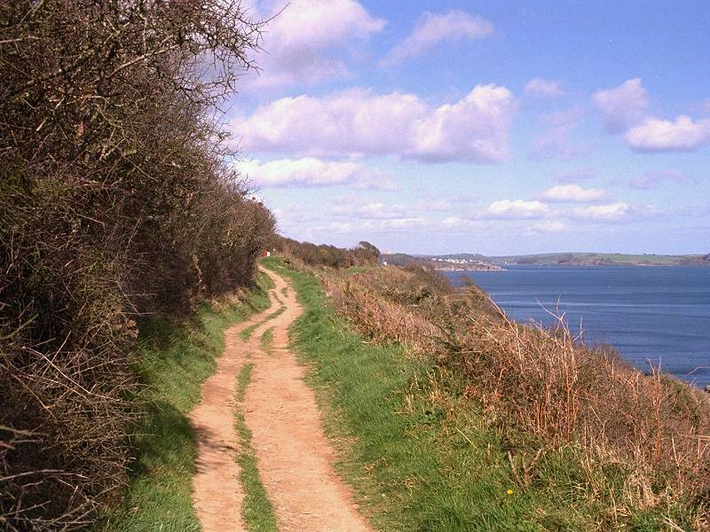
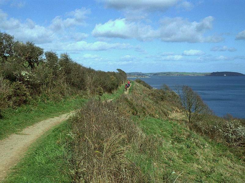
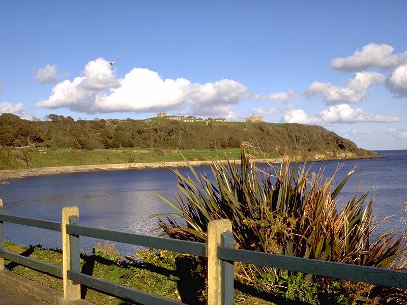
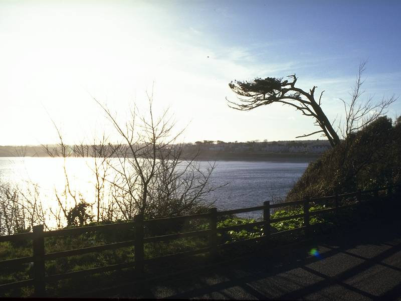
Rosemullion is such an evocative, poetic name that it's a tad disappointing to learn that it is nothing special; in fact it's a perfectly ordinary headland of grassy hummocks with a smattering of gorse and thorn. There is no habitation, there are no rock features, and even the views are nothing out of the ordinary. You look back across the mouth of the Helford river, to Porthallow and Nare Point; you can see across Falmouth Bay to Pendennis Head with its castle and barracks, with Zone Point beyond across the Fal estuary. Immediately ahead is the small yet picturesque bay of Gatamala Cove, backed by the village of Maenporth.
The coast path around Gatamala Cove
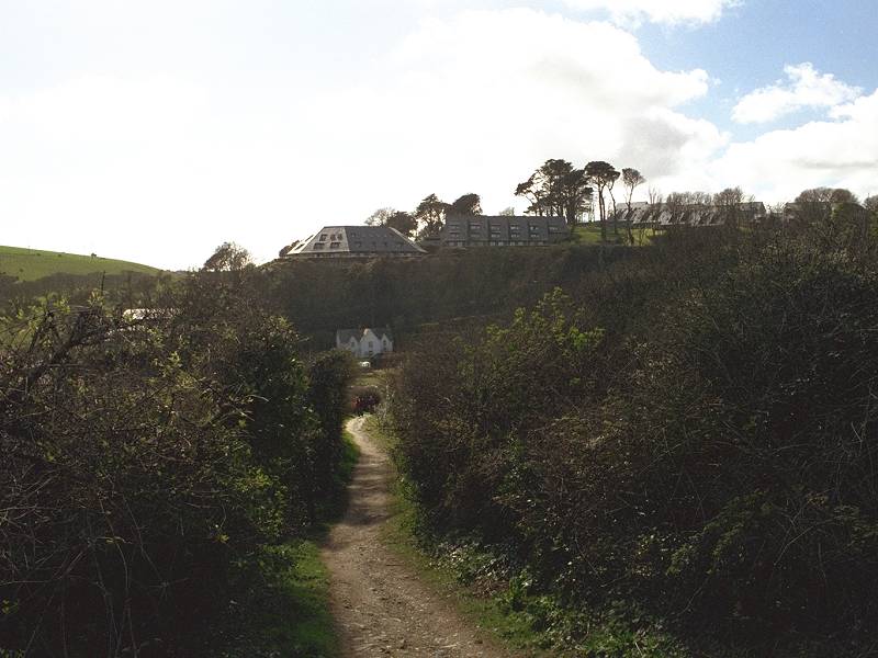
The path leaves Rosemullion head to pass Gatamala Cove, coming down to a bay backed by another beautifully wooded valley. This is the Meudon Hotel garden, which unfortunately is not open to the public. The path turns northwards and climbs to the top of the slope, whereupon it becomes sandwiched between a line of scrubby vegetation to the right and the back fences of the houses of Maenporth to the left. One wonders if those who built Maenporth had any imagination; why waste those marvellous sea views? Why fence them out of sight?
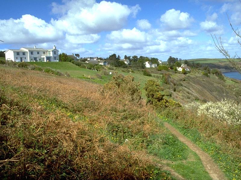
The path at Maenporth
Maenporth; the path squeezing past Maenporth's back gardens; spur north of Maenporth
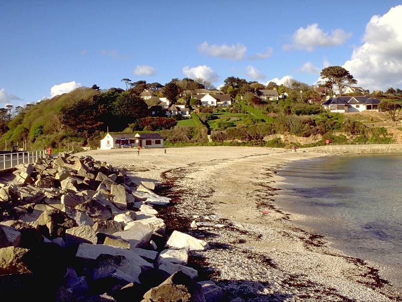
There is perhaps five hundred yards of fencebound path to negotiate before the route comes out into the open again, overlooking Maenporth Bay. The path doglegs out to a spur and then descends steeply, beside a field, towards the beach.
Maenporth beach; looking towards Pennance Point and Falmouth
Three views of Maenporth Bay and beach
As you drop to the level of Maenporth beach you cross the second local authority boundary of the route - from Kerrier district into Carrick district.
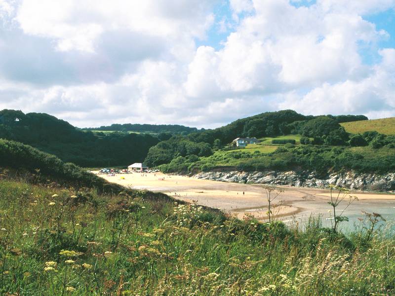
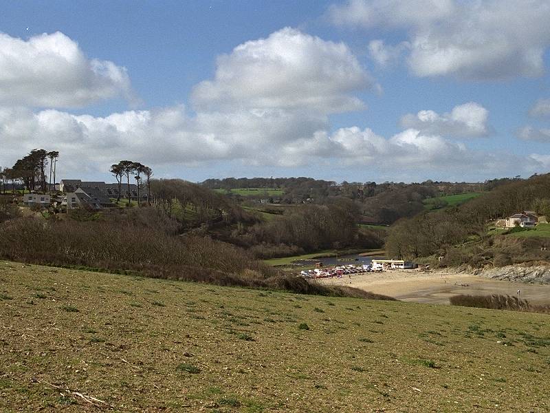
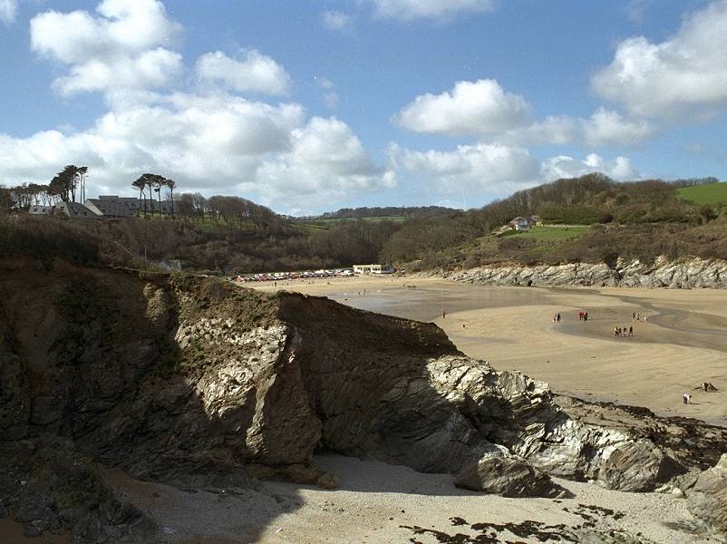
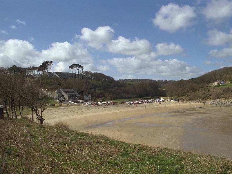
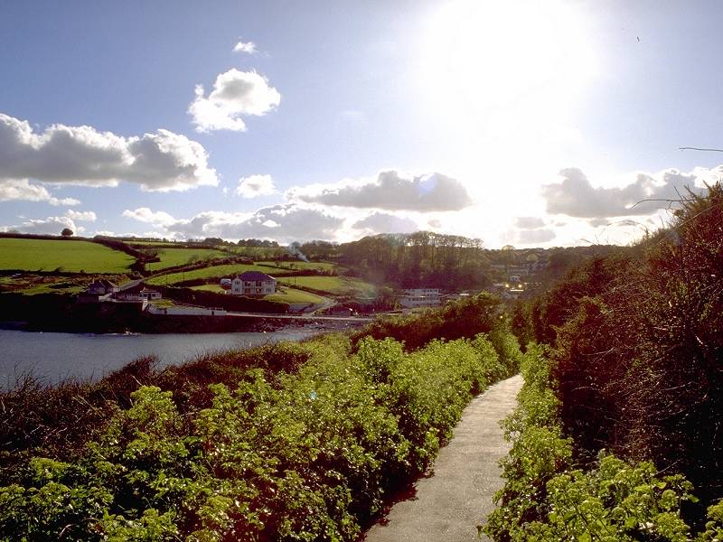
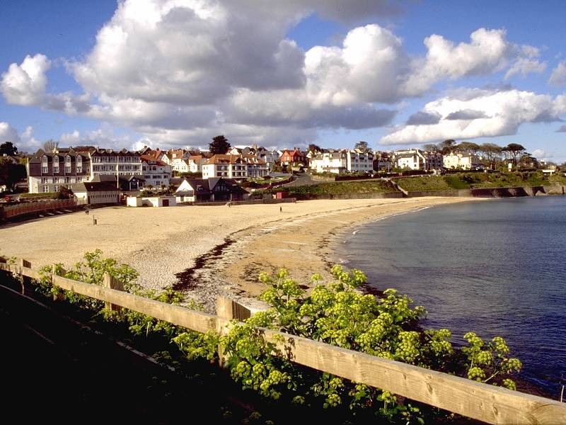
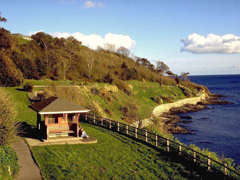
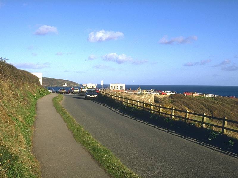
Maenporth Beach is wide and shallow; at low tide the sea retreats a long way and the sands are extensive. The bay is dominated by a village of holiday chalets that extend from beach level along a wooded valley to the northwest, but the beach itself has a shop/cafe, with a toilet block behind. The coast path continuing to Pennance Point begins immediately behind the cafe, and runs uphill among extensive stands of thorn bushes.
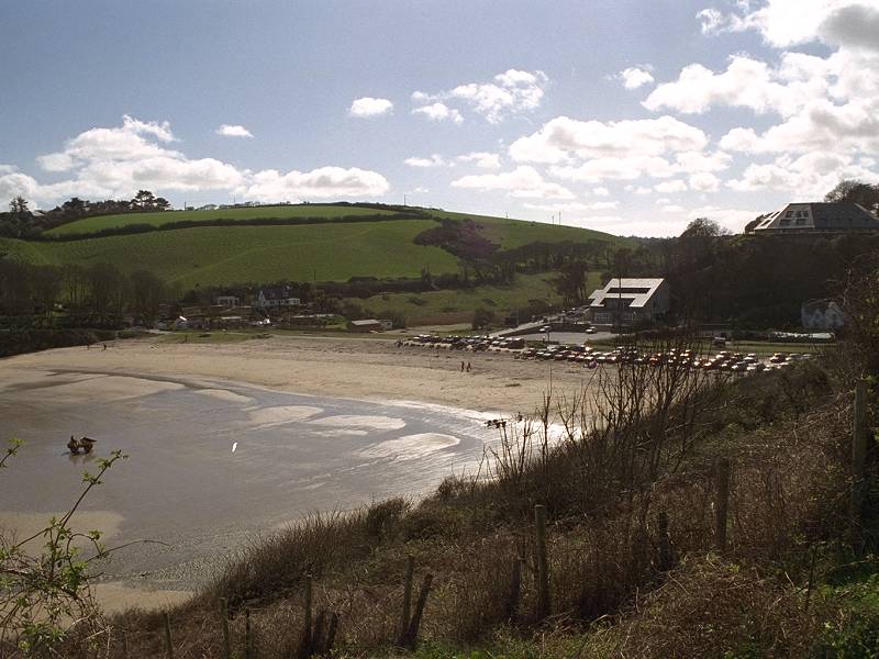
Maenporth Bay from the north; Maenporth holiday village; the path to Pennance Point
![]() Beach
cafe at Maenporth
Beach
Beach
cafe at Maenporth
Beach

Looking back at Rosemullion and Maenporth; the path to Falmouth
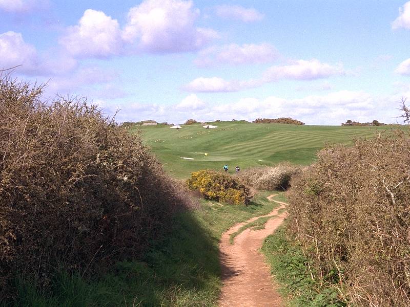
The golf course on Pennance Point
Looking back along the Maenporth path
Path to Pennance Point
The path now climbs again towards the little patch of woodland that crowns Pennance Point itself. From here you take a last look across the Helford river and then turn the corner to see Falmouth beckoning across the bay.
Coast path to Falmouth; Maenporth Bay; Pennance Point
Pennance Point
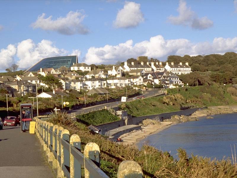
A wide, easy track descends through the wood towards Swanpool, once an inlet of the sea but now a landlocked pond, clustered around which are the first houses in Falmouth.

The descent to Swanpool
![]() Beach
cafe at Swanpool
Beach
cafe at Swanpool
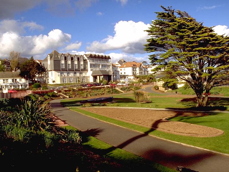
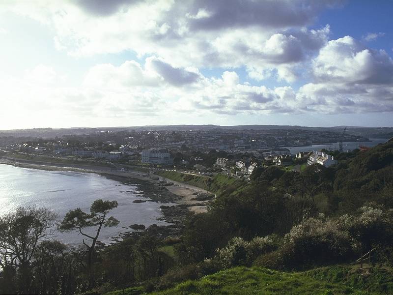
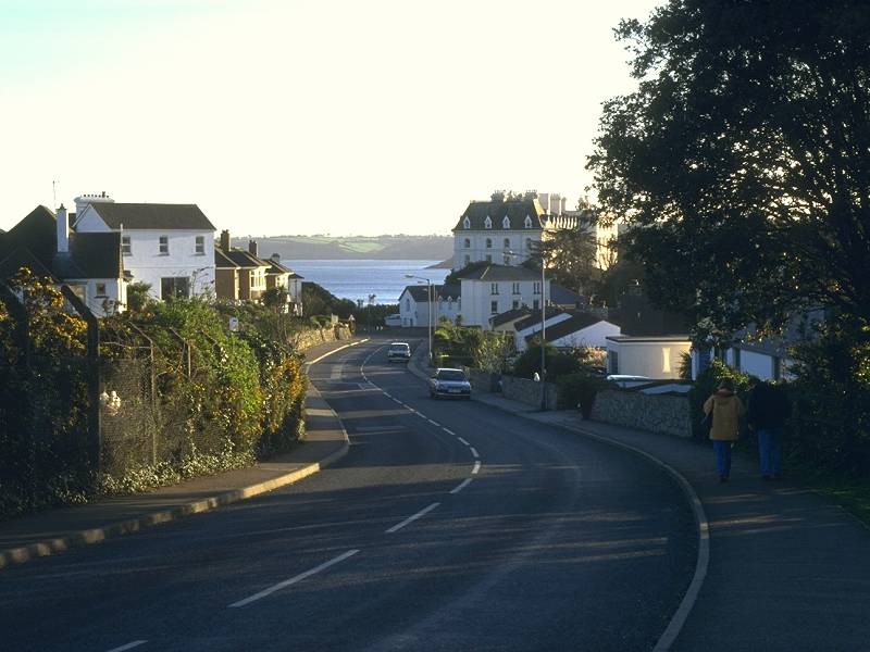
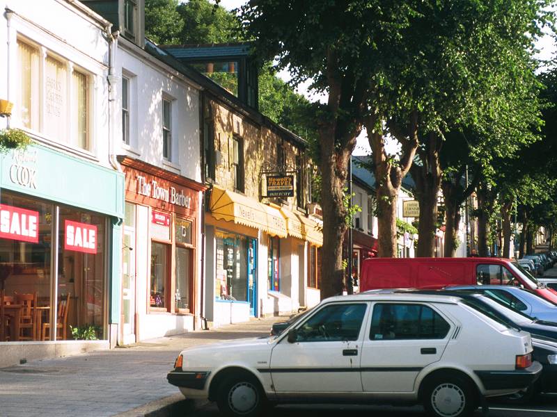
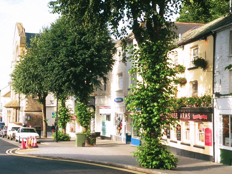
Falmouth is not a Jekyll and Hyde town. Its two halves are different but both have a great deal of charm and beauty. The place is built on a human scale and has a lively, bustling air. It caters for visitors but retains a life of its own and the town centre is not given over to tourist tat such as souvenir shops and amusement arcades, a fate that has befallen otherwise equally charming towns further east.
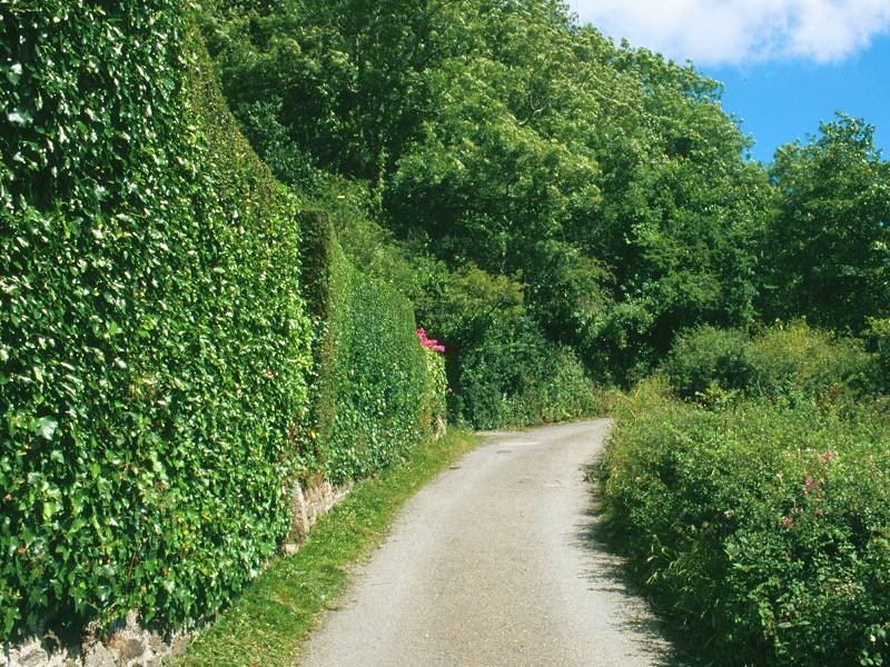
Cliff Road
You may well decide to end your day's walk here at Gyllingvase and seek out your night's lodgings, but if not, continue along Cliff Road below the ranks of Victorian elegance opposite. Falmouth is so well subscribed for hotel rooms that accomodation of almost luxury standard can be had for modest cost. If you've been living under canvas or in B&B's for the last week, why not give yourself a break and indulge in crisp sheets, 24-hour room service, satellite TV, laundry and five-course buffet breakfasts? I know I did.
![]() Beach
restaurant
at Gyllingvase; nearby hotels have restaurants, cafeterias and
butteries.
Beach
restaurant
at Gyllingvase; nearby hotels have restaurants, cafeterias and
butteries.
Pendennis Head seen from Cliff Road
The west side of Pendennis Head
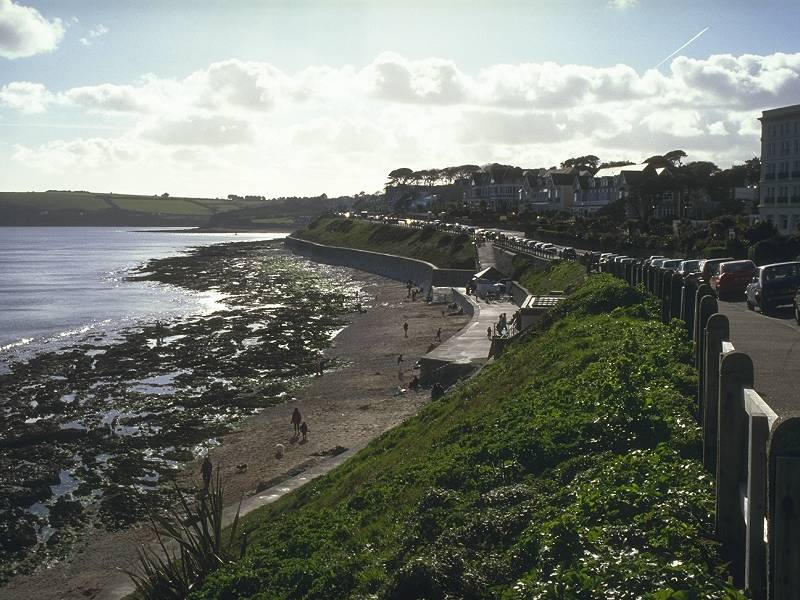
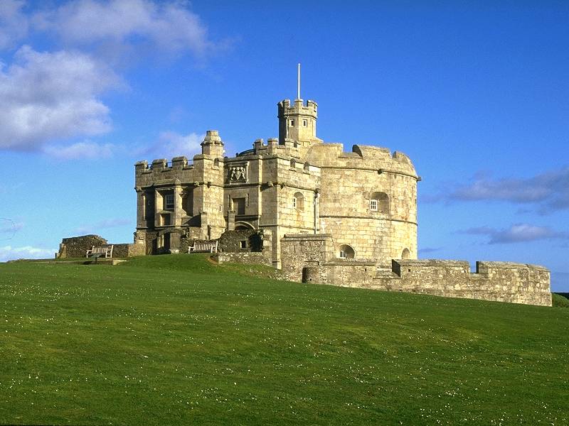
The walk around Pendennis head is a gentle and rewarding stroll, and I like to make it an evening trip; the sun setting across the bay makes for some marvellous lighting. The headland is heavily wooded and the motor road is one-way, so the amount of traffic isn't intrusive. If you undertake the walk earlier in the day then climb up to the castle; the views are magnificent. The castle itself, built in Tudor tiimes, is interesting but the same cannot be said of the vast concrete parade ground and the gaunt barrack block that adjoins it to the northwest. The barracks is no longer in use by the army, and until recently it was Falmouth's youth hostel (now closed, unfortunately).
Falmouth's south bay seen from Pendennis Head; Pendennis Castle; Falmouth from the castle

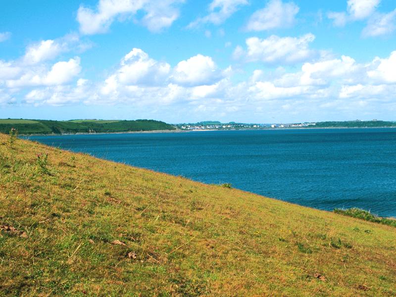
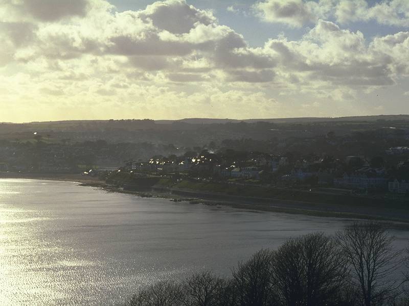
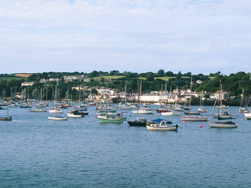
Pendennis Point has the inevitable coastguard lookout station and also a pretty large car park, so if you were hoping for solitude you're going to be disappointed. Console yourself with the views across the Fal, where the town of St Mawes is prominent, and just to the right of it the secondary estuary that splits off the Roseland peninsula where the coast path resumes from the hamlet of Place. To the right of that is the lighthouse at Zone point and from there the Cornish coast stretches away, encompassing bay after bay and headland after headland, for another seventy five miles. If the air is clear you should be able to see all the way to Dodman point, just short of a hundred miles' walk from Land's End.

Pendennis Point; Looking west across South Bay; Looking east across the Fal to St Mawes
Follow the road around the northeast side of Pendennis Point now, to approach the docks and the town. Before long you will pass the entrance to the leisure pool, a vast crescent-shaped building that dominates Falmouth's skyline. The views over the town from here are superb and it's probably the best place from which to apprecate Falmouth's unique topography and layout. Descend now along the high road past the docks.

![]() Cafeteria
at Pendennis Castle
Cafeteria
at Pendennis Castle
![]() CATA
- Pendennis Castle
CATA
- Pendennis Castle
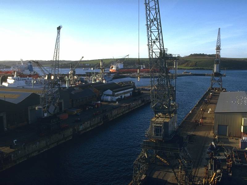
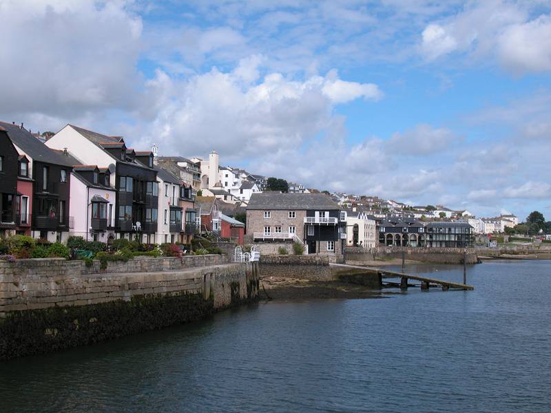
The first few hundred yards of Falmouth, as you descend into the town and pass the dock service yards, are a little tatty but the Victorian splendour of the town soon reasserts itself. The road passes the Falmouth Docks rail terminus, beyond which is the narrowest part of the Pendennis isthmus; just a hundred yards to the left, past the grounds of the Falmouth hotel, is the south bay and the point you walked past some two miles back.
The narrowest part of town at the Falmouth Hotel
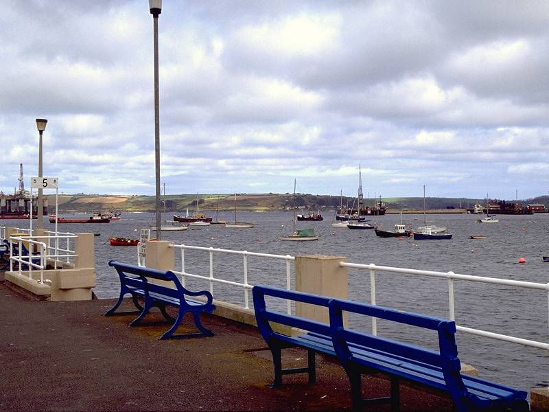
Waterfront scenes in Falmouth
Follow Arwennack Street into the town centre. You cannot fail to be impressed by Arwennack House, a magnificent structure that was formerly the manor house of the Killigrew family, founders of Falmouth. Beyond the manor house the streets become narrow and thronged with shops and restaurants, with yards, alleys and steps leading off up the steep slopes to the left.
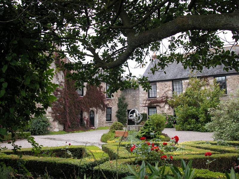
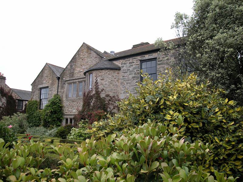
Arwennack House
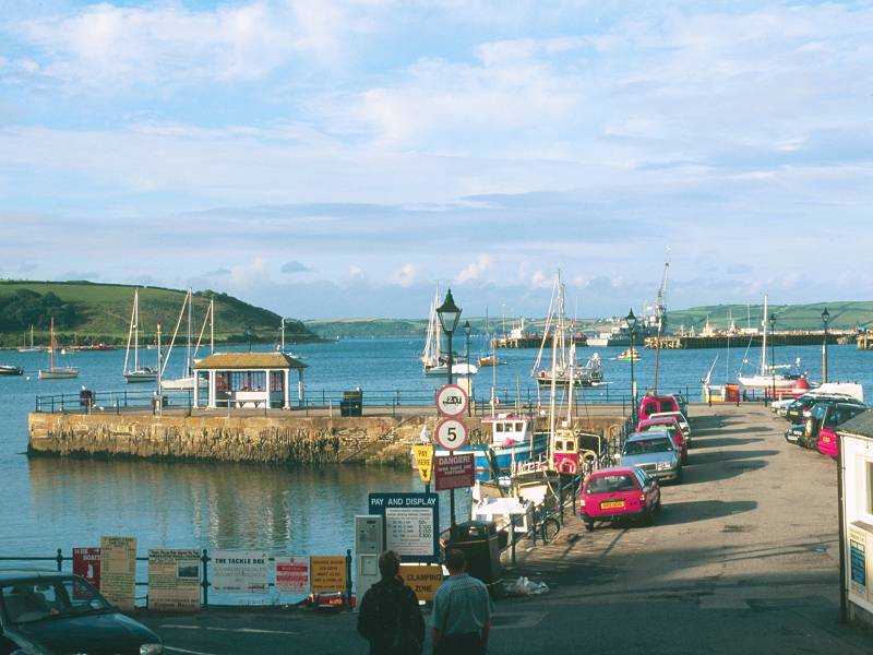
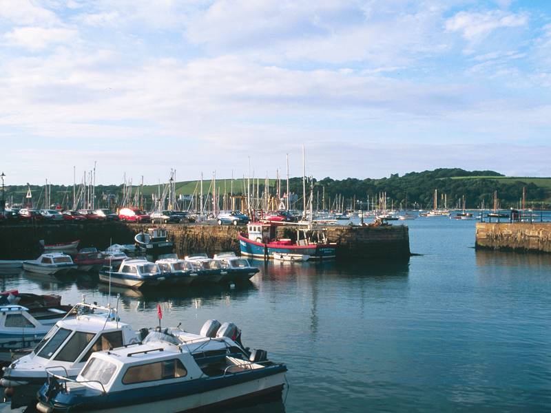
At the northern end of the main shopping street you reach a square; to the right is the Prince of Wales Pier, from where the ferry to St Mawes leaves for the next section of the Coast Path; to the left is the Moor, a large open space at the heart of the town, surrounded by yet more shops and also the site of the bus station.
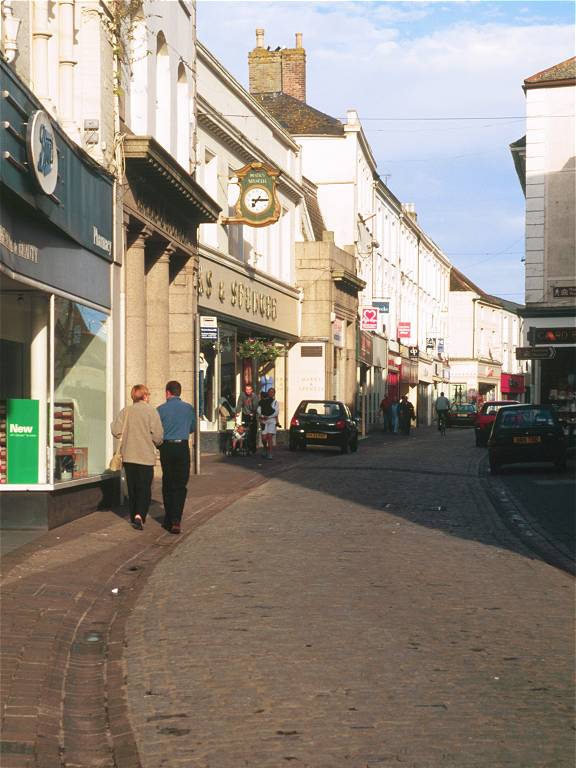
Falmouth town centre

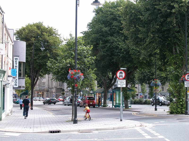
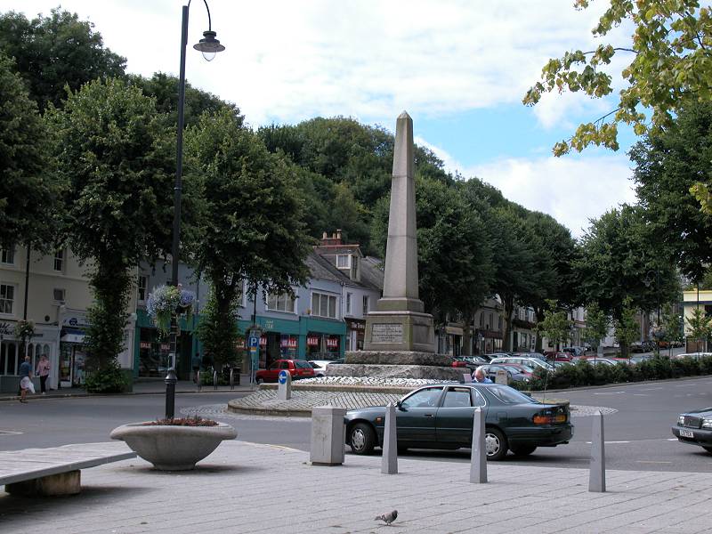
The Moor
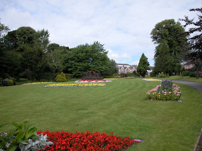

Killigrew Park

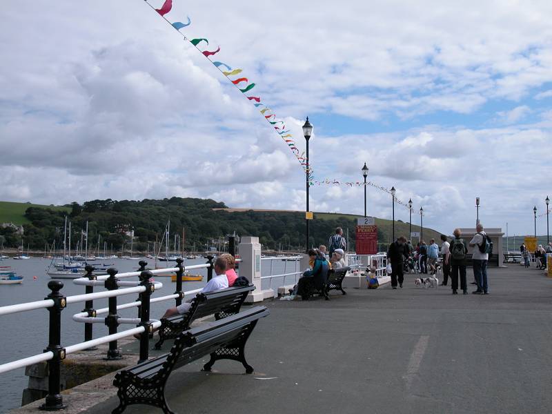
Prince of Wales Pier; St Mawes from the pier

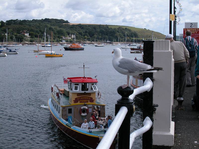
Prince of Wales Pier; St Mawes Ferry
![]() Plenty of cafes and restaurants. Seafood is a speciality. I recommend
Theo's
(good vibes, good food, good music, interesting decor, waitresses to
die
for).
Plenty of cafes and restaurants. Seafood is a speciality. I recommend
Theo's
(good vibes, good food, good music, interesting decor, waitresses to
die
for).
![]() An
embarrassment
of cheap hotel rooms and B&B.
An
embarrassment
of cheap hotel rooms and B&B.
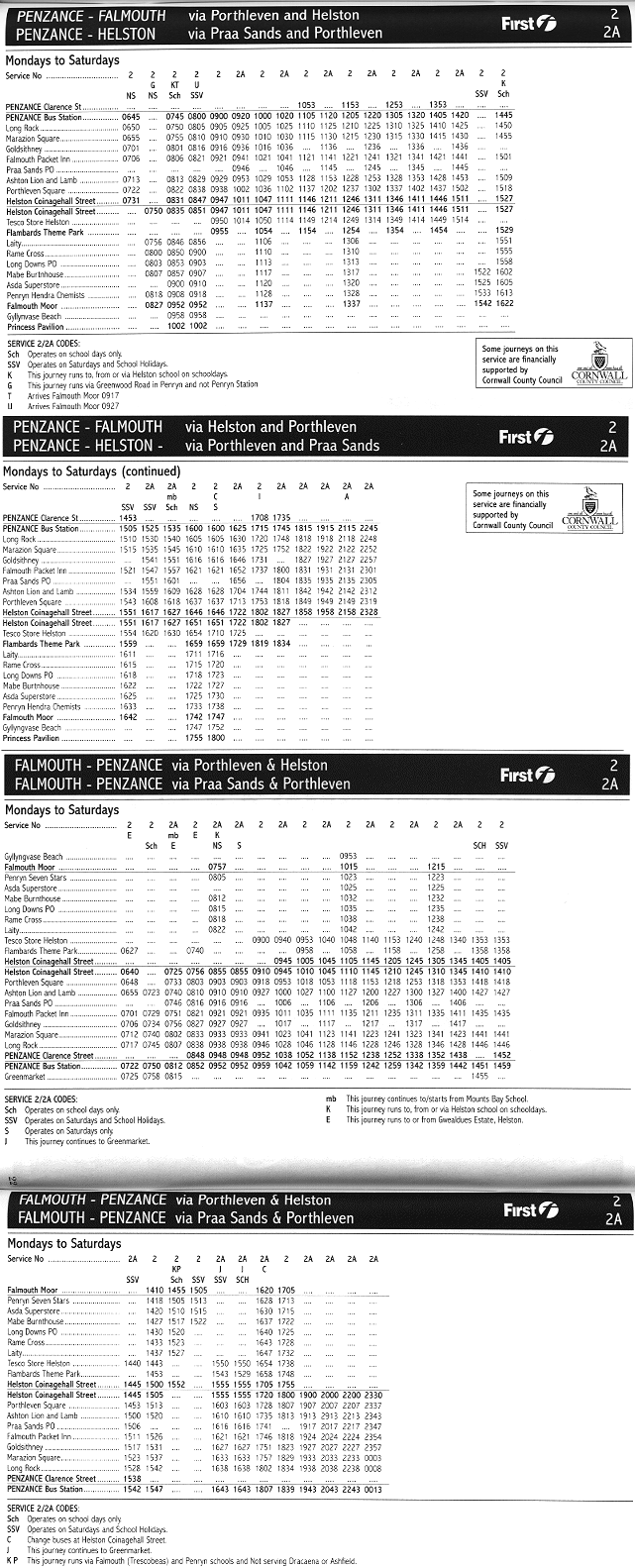
![]() First
Western
National service 2, Falmouth - Helston - Penzance Mon-Sat
and Suns / bank holidays
First
Western
National service 2, Falmouth - Helston - Penzance Mon-Sat
and Suns / bank holidays
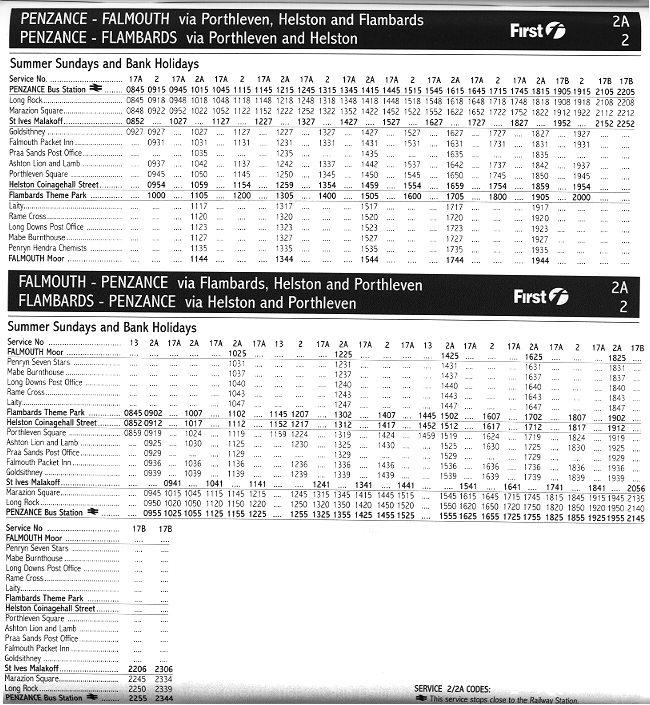
![]() First
Western National service X7, Penzance
- Marazion - Helston - Falmouth - Truro - St Austell
First
Western National service X7, Penzance
- Marazion - Helston - Falmouth - Truro - St Austell
![]() Rail services
to Truro for intercity connections to Penzance, Plymouth and London. No
Sunday services October to May.
Rail services
to Truro for intercity connections to Penzance, Plymouth and London. No
Sunday services October to May.
| Coverack to Helford | Back to South Cornwall Coast Path index | Place to Portloe |
This page last updated 16th April 2003
![]()