
| Helford Passage to Falmouth | Back to South Cornwall Coast Path index | Portloe to Mevagissey |
| Helford Passage to Falmouth | Back to South Cornwall Coast Path index | Portloe to Mevagissey |
Allow a minimum of six hours for the walk itself, plus a further hour for the ferry crossings. Since your return from the end of the walk is dependent on the bus from Portloe to Truro you should aim to leave Falmouth no later than 10.30 in the morning. The walk could be divided into two half day walks using Portscatho as the intermediate destination. The St Mawes - Place ferry runs only during the summer, and current ferry times should be checked at the Falmouth tourist information office.
|
|
|
| Length: | 13.5 miles / 21.7 km |
| Total ascent: | 2659 ft / 810 m |
| Total descent: | 2657 ft / 810 m |
| Estimated time: | 5 hrs 14 mins |
Having checked the ferry times, make your may to the Prince of Wales Pier (which is seawards of the Moor, Falmouth's central square) and find the correct quay for the St Mawes ferry. The crossing to St Mawes is about 4 km in distance and generally takes around 20 minutes.

St Mawes quay
Disembark at St Mawes and climb the steep, narrow stone steps to the quayside (the steps are cambered inwards to make them easier). Several ferries and pleasure cruises leave from the same quayside so wait at the top until the Place ferry (which is pretty small) ties up alongside. The trip across to Place is only about 500m and takes about four to five minutes.

Falmouth - St Mawes ferry at St Mawes Quay

Ferry landing
The ferry lands at a rough slipway at the left-hand side of the little bay. Walk up the path (mind the seaweed, it's very slippery) and go through the stile and turn right.
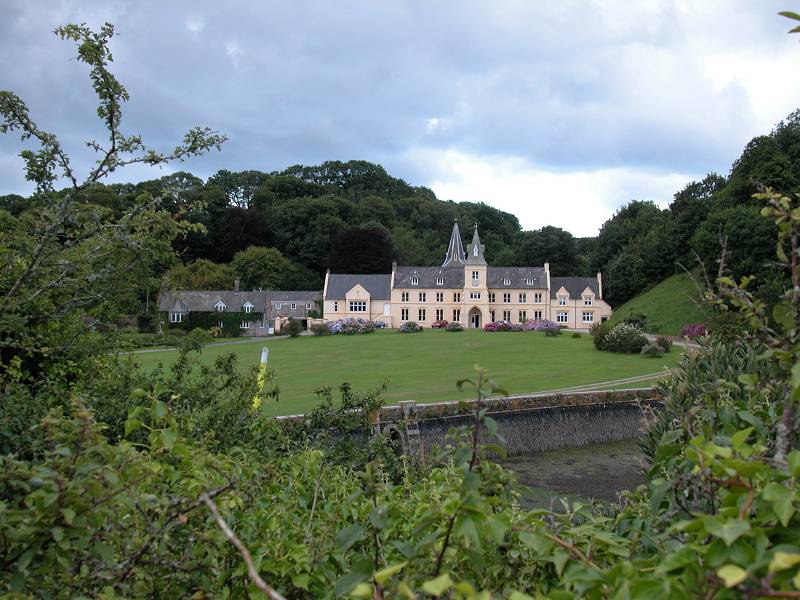

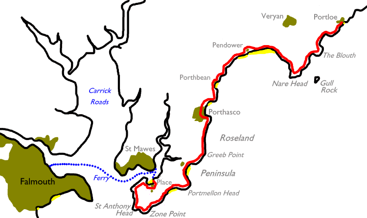
The environs of Place House
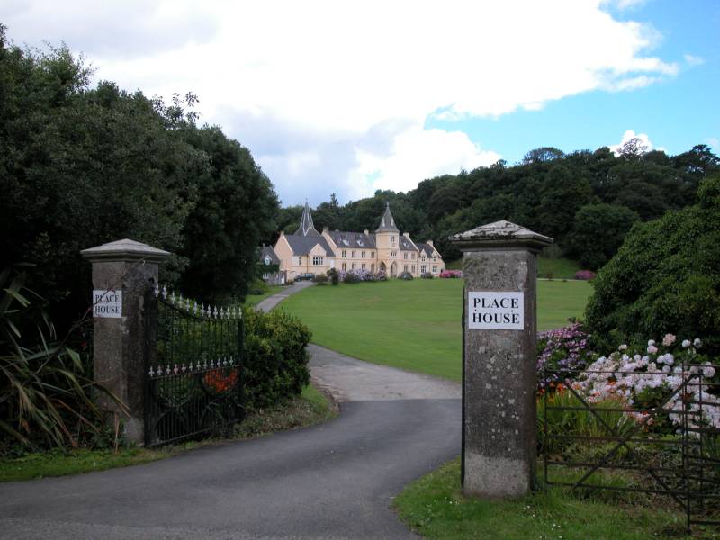
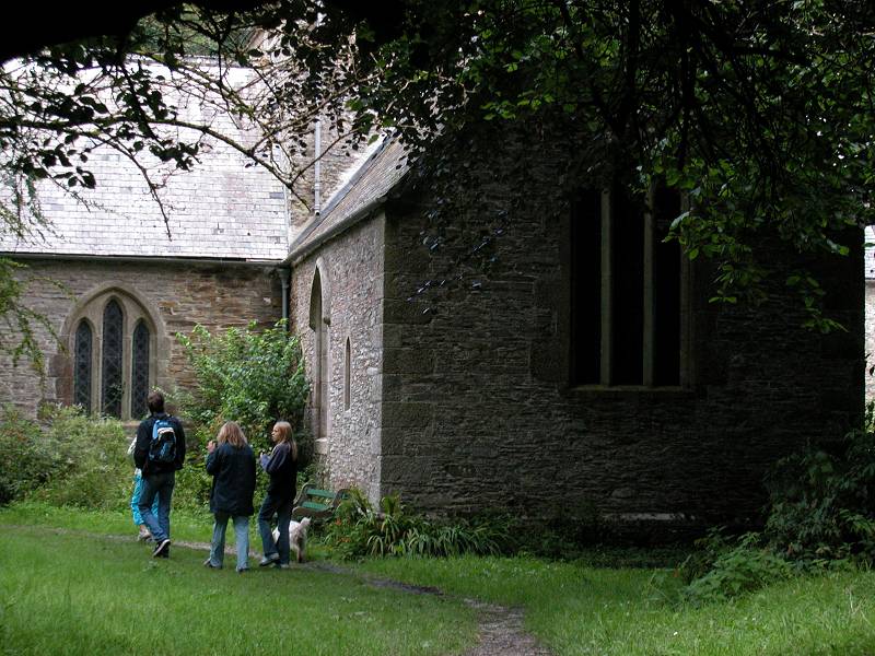
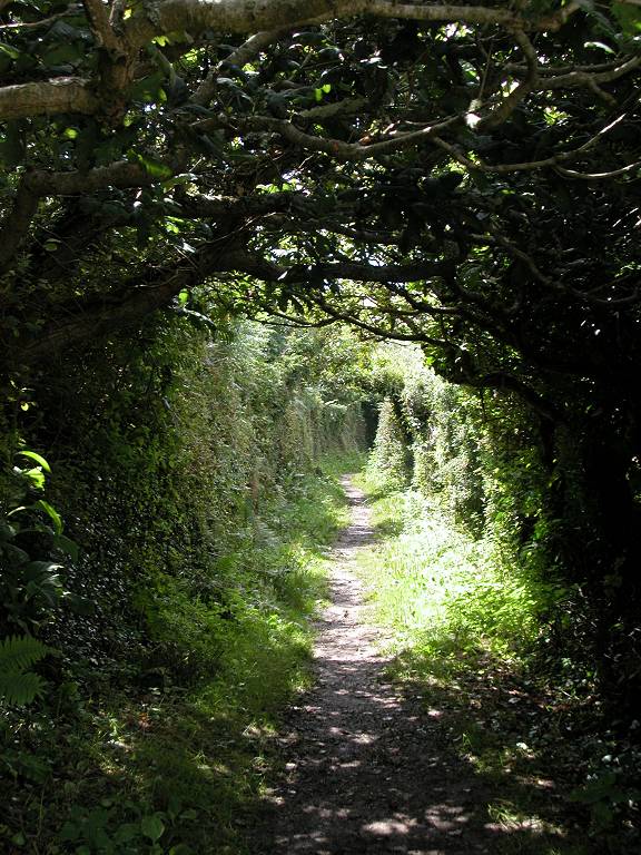
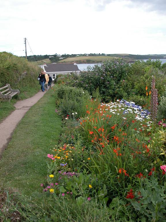
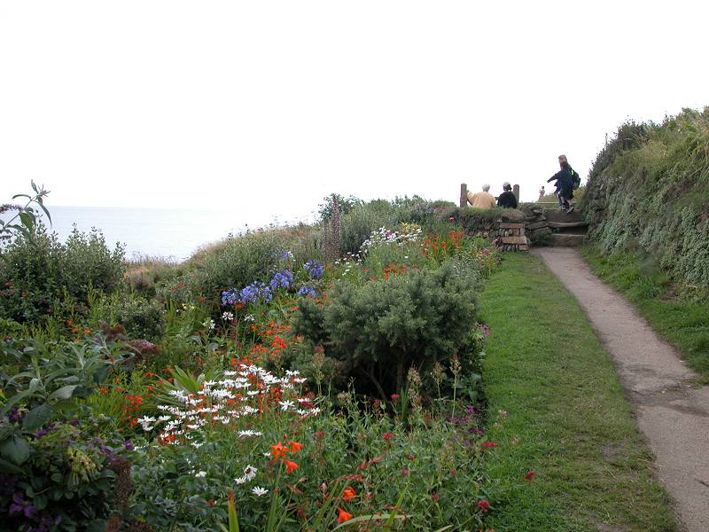
The path initially winds its way around the grounds of Place House, a substantial country mansion. There are plenty of waymarks so you can't go wrong, but the path changes direction so many times that you can get totally disoriented. You pass one of the two driveways into the house itself and then take the path network through dense tree cover as far as St Anthony Church. Leave the church to your right and continue along the path, which continues to dodge around the grounds of Place House until it emerges onto a track beside the waterfront. There are good views back across to St Mawes.
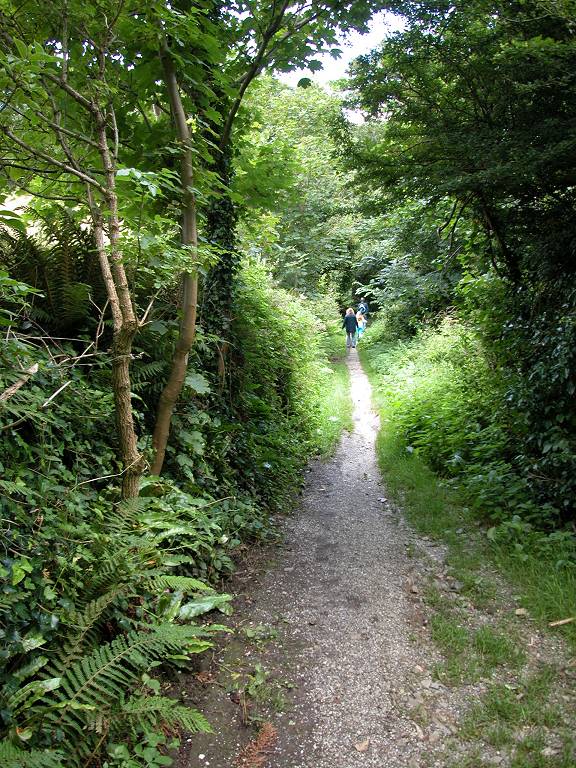
The path rounding Place House, and St Anthony's Church.


The coast path immediately west of Place House, and views back to St Mawes
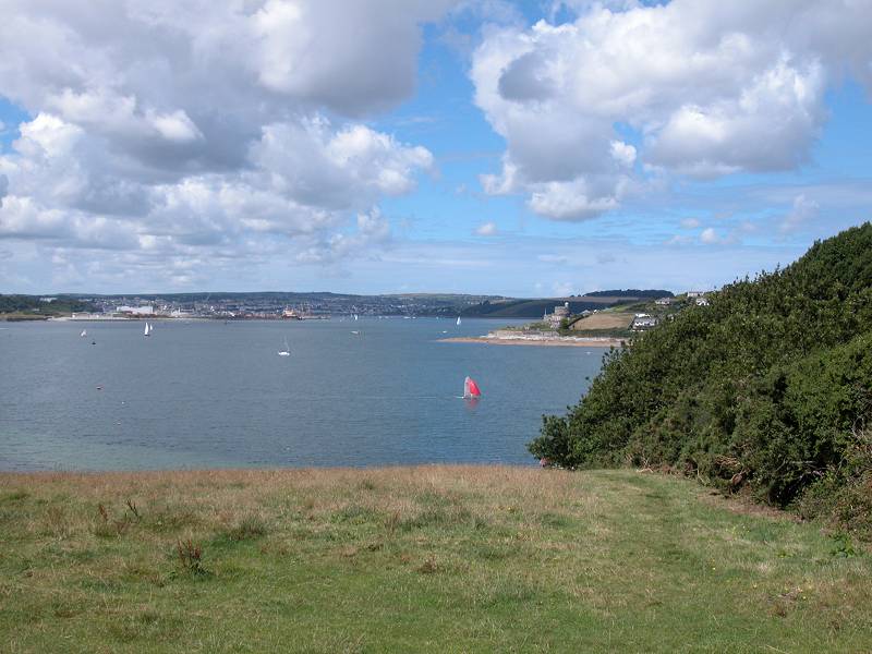
Progress along the track for a short distance, to where an open field slopes away up to your left. Go as far as a clump of trees at the far end of this slope then turn left across a stile to climb the slope beside the trees. Once you emerge on the skyline the estuary of Carrick Roads, with Falmouth on the far side, comes into view.


climbing the slope; view of Fal estuary; path to Carricknath point
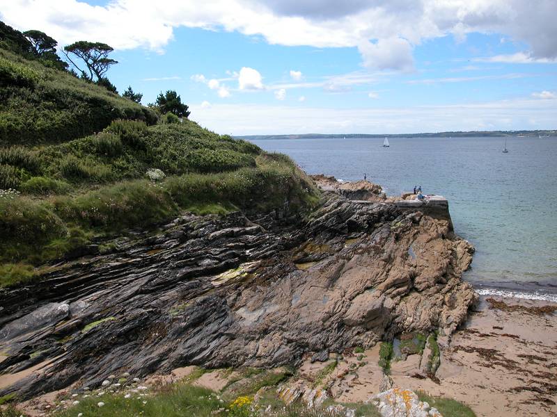
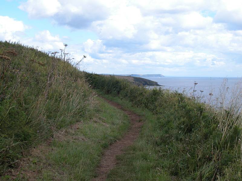
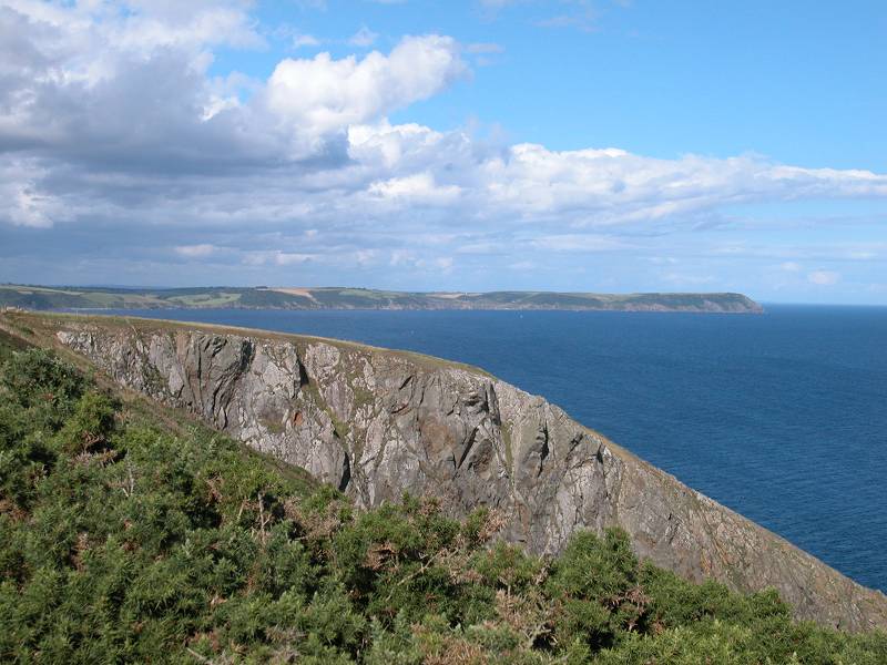
You're now on a boss of land that faces northwestwards across Carrick Roads and the Fal. The route goes southwest to Carricknath Point from here, and you have a choice of taking the path down near the water's edge or staying up on the ridge. The ridge path gives excellent views and will save you descending to sea level only to have to climb back to Carricknath once again.
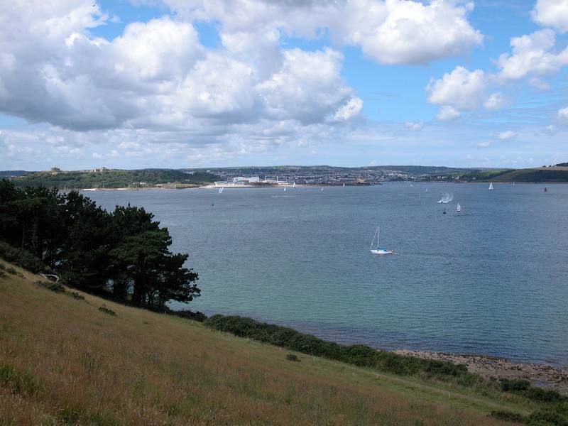
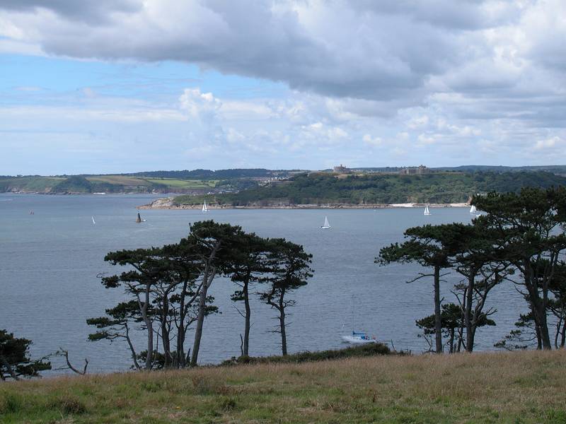
Views across Carrick Roads, and the path approaching Carricknath Point
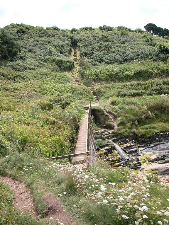
Carricknath point itself is a broad wooded dome, beside which is a small but craggy cove. A fearsomely steep flight of stairs looms ahead as you approach, but it turns out not to be the route of the coast path itself, which instead goes off to the right,
Carricknath Point


Carricknath Point
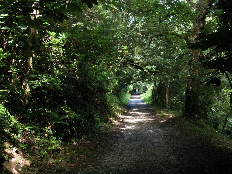
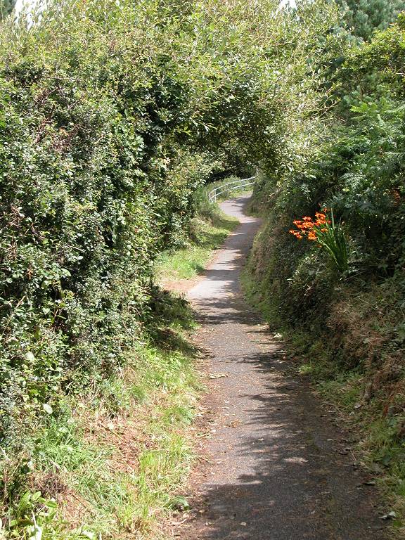
At Carricknath Point the coast path turns half left to run southwards and to approach St Anthony Head. The vegetation is very lush around these parts and the path gets hemmed in between trees and hedges.
The coast path to St Anthony Head
There is a lighthouse at St Anthony Head but, like those at Tater Du and Lizard, its surrounds and access drive are private. The coast path zigzags up a surprisingly steep slope to reach a car park, beside which are a couple of rather utilitarian cottages. Go down the track to the south, where you will find a little complex of concrete batteries and blockhouses (one of which now functions as a public convenience). These blockhouses have passed form the Navy to the National Trust and are now holiday lets. On top of St Anthony Head itself is a topograph, which points out the highlights in the wealth of detail in view.


Scenes at St Anthony Head


The coast path at Zone Point
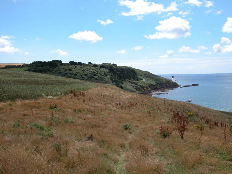
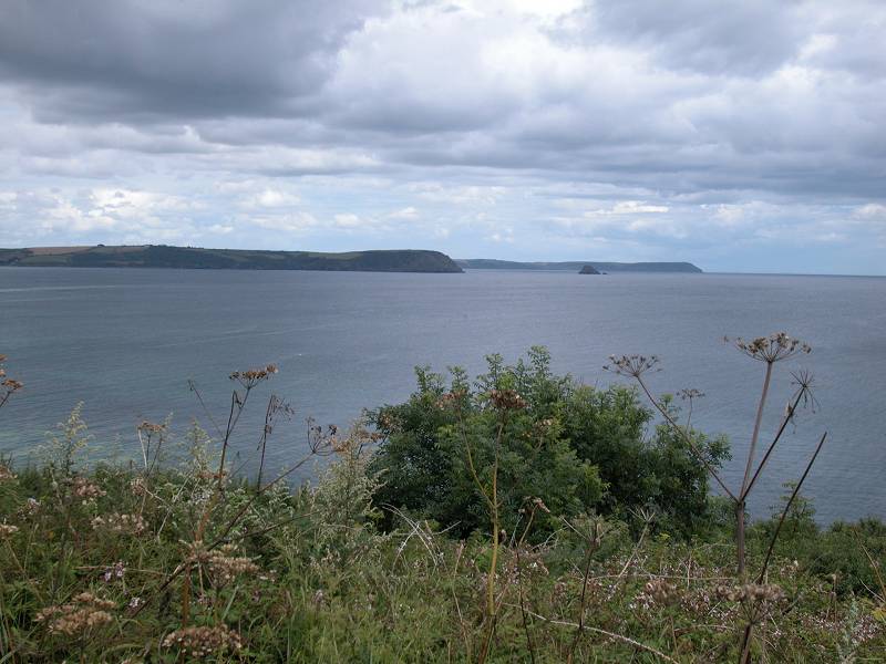
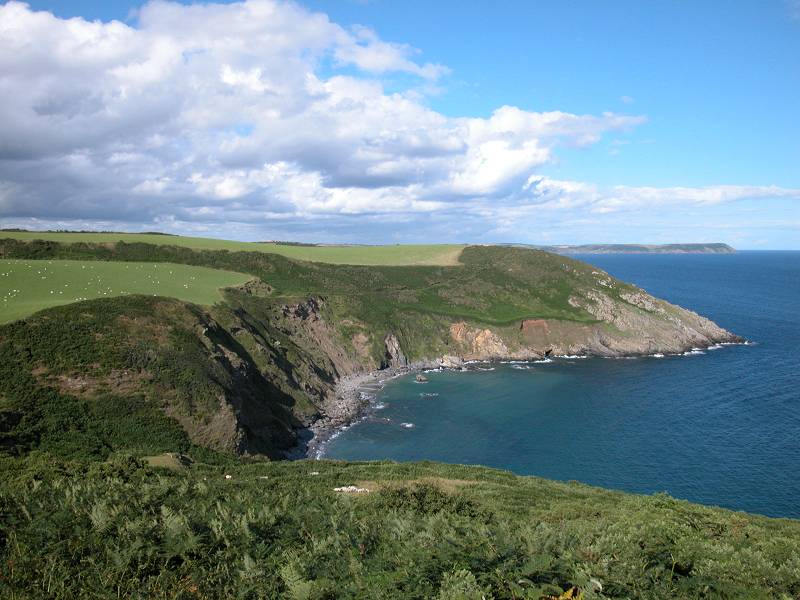
It's a mere 500 metres from St Anthony Head to Zone point, which is the southernmost point of the Roseland peninsula, but the scenery change is quite dramatic. You enter a long stretch in which you have pastures to your left and scrubby slopes to your right. A series of headlands appears ahead; Pothmellin, just over a mile away; Nare Head, about ten miles distant and which you'll reach this afternoon; and Dodman Point, a further day's walk ahead from Nare. It's just possible that you might get your first glimpse of Dartmoor from here.
The theme of pasture and slope continues for a mile or so. Halfway along this stretch a glance at the map will show that you are all of 400 metres from Place House, where you started the walk an hour and a half ago.


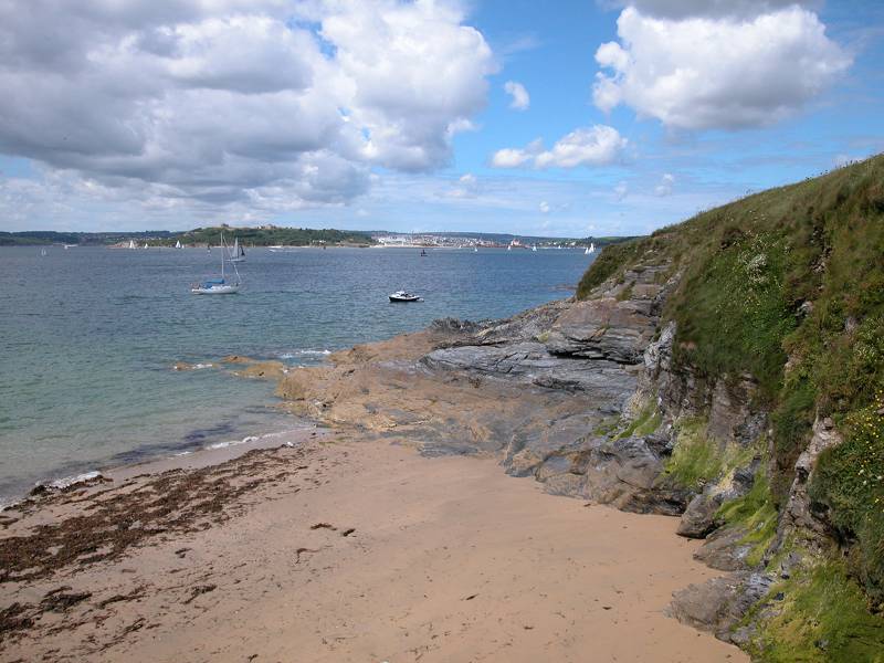
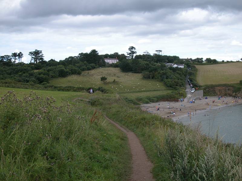
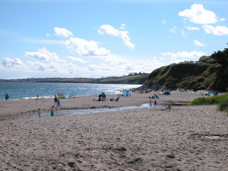
Porthbeor beach, seen from both ends
The first change of scene in the walk from Zone Point comes at Porthbeor beach, where the coast path climbs high above a stretch of sand about 500 metres long. Although the beach is adjacent to the village of Bohortha, just out of sight inland, access to it is difficult and you will probably see few, if any, people about.


The environs of Porthmellin head
The coast path now reaches Porthmellin head. Just before the headland is the tiny beach of Elwinick Cove. Porthmellin Head is quickly followed by Killigeran Head, after which the path begins to run around Towan Bay.


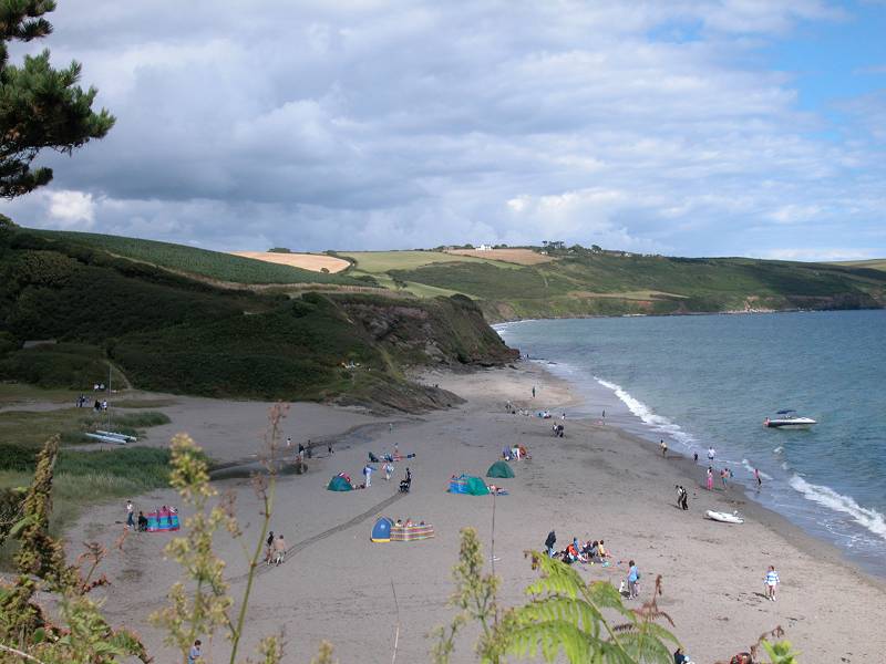
Towan Bay, and Towan Beach
The scenery here is very similar - pastures inland, scrub covered slope on the seaward side. The tiny locality of Porth lies just inland, opposite Towan Beach. The beach is more easily accessed than was Porthbeor, and doubtless you will see groups of holidaymakers doing the things they normally do on beaches.


The coast path north of Towan Beach
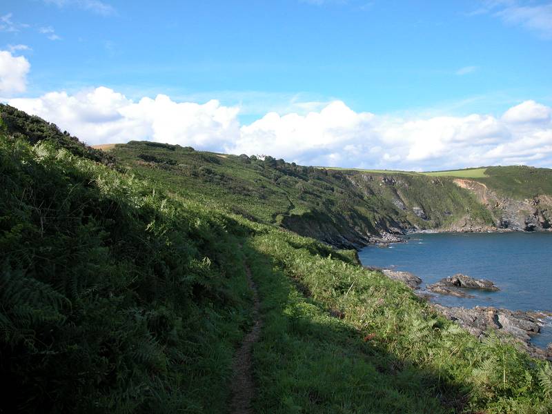
From Towan Beach the path continues around the curve of Towan Bay towards Greeb Point, a distance of some 1.4 km.

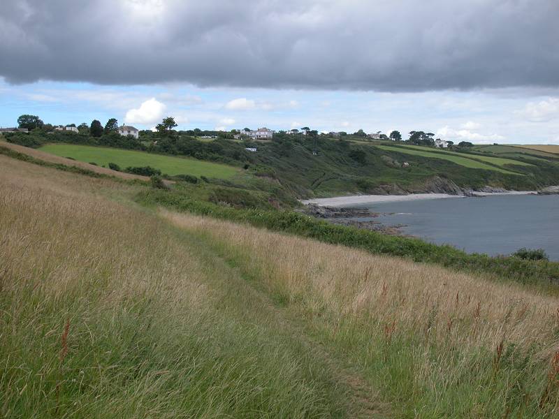
Once you reach Greeb Point the landscape softens a little, but it's still lonely and uninhabited. There's now a good view forwards to Nare Head, with Dodman Point beyond. Portscatho lays a mile ahead but is unseen, as it nestles within a little bay.


Coast path from Greeb Point to Portscatho
Continue as before, through the endless succession of pastures. You might have noticed that there is an unusual number of bench seats on this stretch, a most useful provision. It's a mile from Greeb Point to Portscatho.

Entering Portscatho
Portscatho appears very suddenly after the coast path wanders through some patches of tree cover. There's a gate and stile arrangement, a left turn, and suddenly the village and its little harbour are dead ahead.


Portscatho
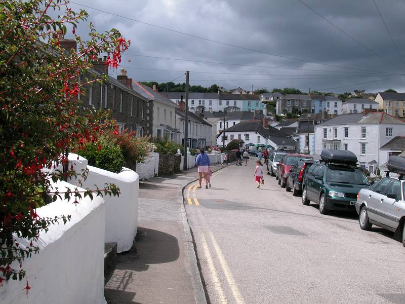
Portscatho is a charming village of whitewashed houses and narrow lanes. It's a busy place too. You'll find all the usual amenities here (apart from a bank or cash machine). It's also on the St Mawes - Portloe - Truro bus route.
![]() First Great
Western
services 50/51, St Mawes - Portscatho - Portloe - Truro, Mon-Sat
and Sun
First Great
Western
services 50/51, St Mawes - Portscatho - Portloe - Truro, Mon-Sat
and Sun
Take the obvious turn to the right in the centre of the village and walk through it and out to the north. The coast path runs along a residential road and then a footpath, hemmed in by hedges and trees, to an open area adjacent to a large car park north of the village. Porthcurnick Beach lays adjacent, within the corner formed by the north end of Portscatho bay.

Leaving Portscatho


Porthcurnick Beach and its environs
The coast path crosses the open area of grass towards a hedgerow on the lip of the slope and round the beach to go out to the little headland of Penvadan. Here it swings sharply left to go north again, en route for Porthbean.

Portscatho from Penvadan Head

Coast path from Penvadan to Porthbean
The coast path has now left the Roseland peninsula. For the next few miles the main road from St Mawes to Truro runs fairly close by, and this stretch of coast path has more habitation. From here to Nare Head there are several beaches with hotels close by. The first of these beaches is Porthbean, only 700m north of Penvadan Head.


The coast path reaches Porthbean beach
As the path approaches Porthbean it gets hemmed in by hedges and trees, before descending quite steeply to the beach itself. Make your way along the sands to find a path rising diagonally up the slope, and follow it.


Porthbean beach and the exit path
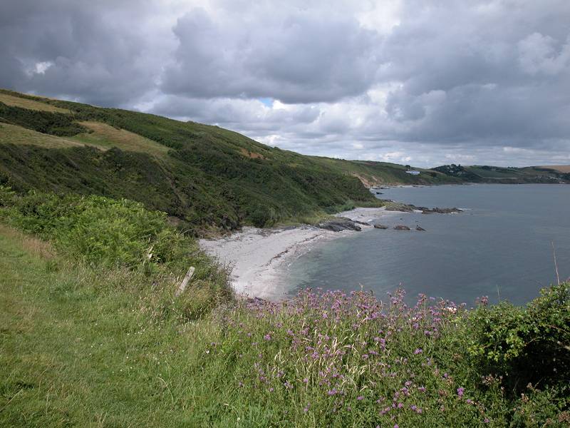
There's now a short but very pleasant little stretch of some 500m, along which the path runs through lush vegetation out towards the little headland of Creek Stephen Point.


Path to Creek Stephen Point


Approaching Creek Stephen Point; Creek Stephen Point; Creek Stephen beach
You would be forgiven for suffering a little deja vu at the minor headland of Creek Stephen Point, for the view ahead almost exactly repeats that from Penvadan head not quite a mile behind you. There's another bay, another long rocky beach nestling within, adjacent to the beach there's another large country hotel, and just beyond there's a wooded valley disappearing inland.

Creel Stephen beach
Follow the coast path around and above the first section of beach (un-named on the map but presumably Creek Stephen beach). Soon afterwards you pass a National Trust sign and the familiar regime of pastures and scrubby slopes resumes.


The coast path from Creek Stephen to Pendower
The cliffs, and therefore the coast path, gain quite a height along this stretch. As you begin to get near to Pendower, however, the path enters quite a steep and prolonged descent.


There are two hotels at Pendower. The coast path loops behind the first, the Pendower Hotel, there being no right of way on the seaward side. The path up by the west side of the hotel is surprisingly steep, but the gardens to the rear are rather nice.


View from Pendower Hotel car park; Pendower beach; Pendower Beach House Hotel
Our route runs along the hotel driveway for a short distance, whereupon it passes the adjacent Pendower Beach House Hotel. Go along a short pathway just beyond and then down to Pendower Beach itself. Take the path leading up from the car park at the head of the wooded valley, to follow the top of the slope along to Carne Beach.
Path to Pendower Beach


Pendower Beach, and the path to Carne Beach


Nare Hotel and Carne Beach
Pendower and Carne beaches are more or less contiguous, particularly at low tide. You will doubtless get another attack of deja vu as you begin to pass Carne Beach for, once again, the path ducks round the back of a hotel with exquisite gardens at the rear. This is the Nare Hotel. Just beyond is another car park with another little valley heading up inland, but this time you're spared having to go down to the beach. The run of hotels and beaches comes to an end here, because now the coast path runs up to the top of the slopes once more to begin the push outwards to Nare Head.


Nare Head from the path beyond Carne Beach

National Trust sign, Nare Head
It's a little over a mile from Carne Beach to Nare Head, and there's some effort involved. The path initially runs alongside the usual pastures, with Nare Head coming ever closer and looking quite daunting. Roughly halfway there the path drops steeply into the valley of Tregagle's Hole, only to climb even more steeply out again.


Tregagle's Hole; view back to Pendower; view back to Greeb Point
Nare Head itself isn't a dramatic headland but it does boast some excellent views. Much of the morning's walk is still in view, at least as far as Zone Point; part of the Lizard peninsula should still be visible beyond it. In the other direction Dodman Point is now seen to advantage. Beyond it, if the day is clear, you might just be able to make out part of the coast between Looe and Rame Head; we get here six day's hence.


Dodman Point from Rame Head; pastures at Rosen Cliff; approaching Kiberick Cove
There's still two miles to go before Portloe at the end of the day's walk, and they can tend to be tiring. Initially the path stays quite high and at Rosen Cliff, the second pasture enclosure beyond Rame, you reach an altitude of around 150ft. Gull Rock stands just off the coast here. From Rosen Cliff there's a fairly steep drop towards Kiberick Cove, but you can take the sting out of the gradient by tending away from the coastline towards the corner of the cove itself. (It looks obvious on the OS map - just make for where it says "cattle grid". Kiberick Cove itself is a place of confused terrain and uncertain contours - the guidebook suggests this is the result of a landslip. Round the rest of the cove and climb up again to the boss of land known as the Blouth.


Just when you were hoping there wouldn't be any more gradients they come at you thick and fast. The Blouth, a rectangular headland some 500m long, is followed by a rectangular bay around 800m across. The near corner of this bay is called Parc Caralgoose Cove and the coast path takes a leisurely meander down to cross a stream before climbing wearily back to the clifftop just seaward of a farmhouse. "Caralgoose" is a name that is used many times for rock features within the next dozen miles or so, a situation that could well cause some confusion. The far corner of the bay is not named but I have dubbed it Camels Cove, after the name of the nearest locality inland. After passing above and around Camels Cove the coast path reaches another minor headland, Manare Point.
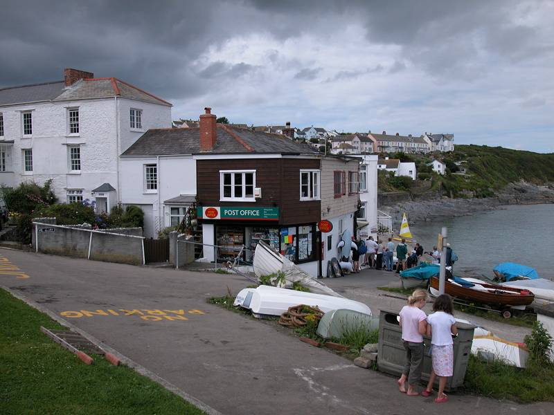
There are some amenities at Portloe; a pub, a hotel (expensive), toilets. No cafe or tea shop though, and no nearby campsite. Most walkers arriving here will probably head for the bus stop. The online bus timetable provided by Xephos is at variance with that published by Cornwall County Council; the former seems to indicate that buses only call at Portloe on Sundays whereas the latter has buses running through Portloe every day. You would be wise to check for up to date information at the tourist information offices in Truro or Falmouth before you set out.
![]() First Great
Western
services 50/51, St Mawes - Portscatho - Portloe - Truro, Mon-Sat
and Sun
First Great
Western
services 50/51, St Mawes - Portscatho - Portloe - Truro, Mon-Sat
and Sun
![]() First
Western National service X7, Penzance
- Marazion - Helston - Falmouth - Truro - St Austell for
connections
from Truro
First
Western National service X7, Penzance
- Marazion - Helston - Falmouth - Truro - St Austell for
connections
from Truro
|
£4.50
inclusive
of postage / packing. |
| Helford Passage to Falmouth | Back to South Cornwall Coast Path index | Portloe to Mevagissey |
This page last updated 18th April 2005
![]()