
| Wells to Cheddar | Back to Somerset Way index | Temple Cloud to Bath |
| Wells to Cheddar | Back to Somerset Way index | Temple Cloud to Bath |
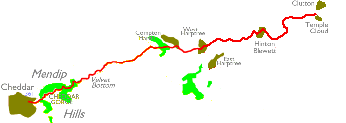
The route crosses the ridge at Hazel Warren and then descends to the
Chew valley, meandering between the villages of Compton Martin and West
Harptree on local paths. It then follows the Limestone Link, a
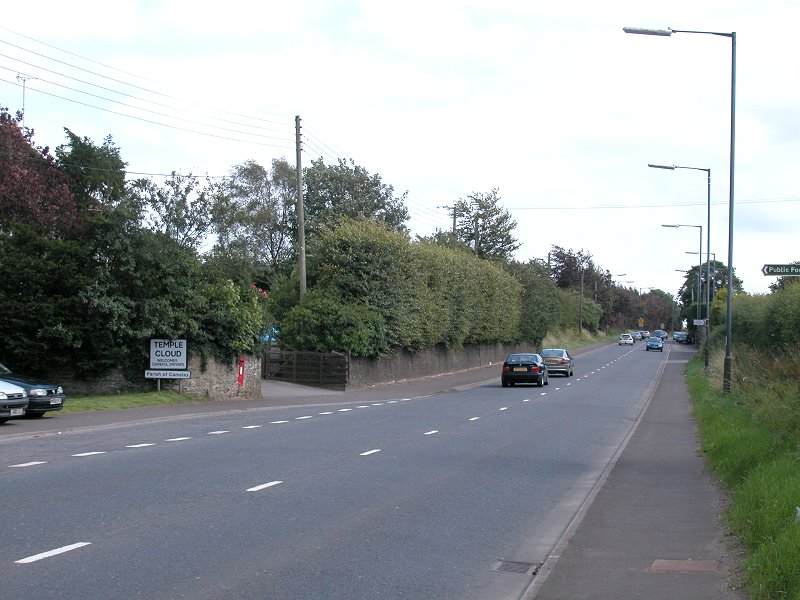
local waymarked path, to Hinton Blewett and then out to Temple Cloud on
the main Bristol to Wells road.
Map: OS 1:25000 Explorers 141 (Cheddar Gorge & Mendip Hills West), 142 (Mendip Hills East)
Click
on
any thumbnail image in this gallery to display the corresponding full
size
image. The images are access protected through a cgi script to prevent
hotlinking. If you encounter problems while trying to view the full
size
images, please read the access advice
page.
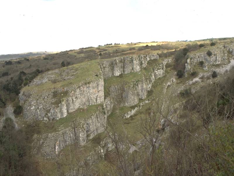
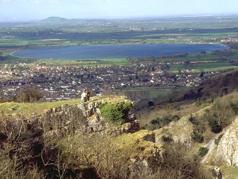
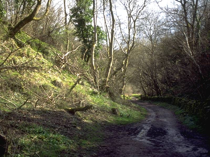
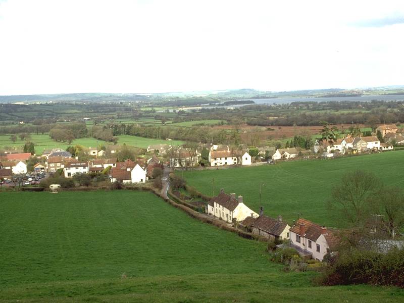
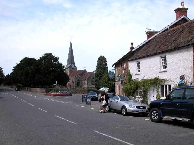
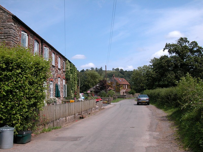
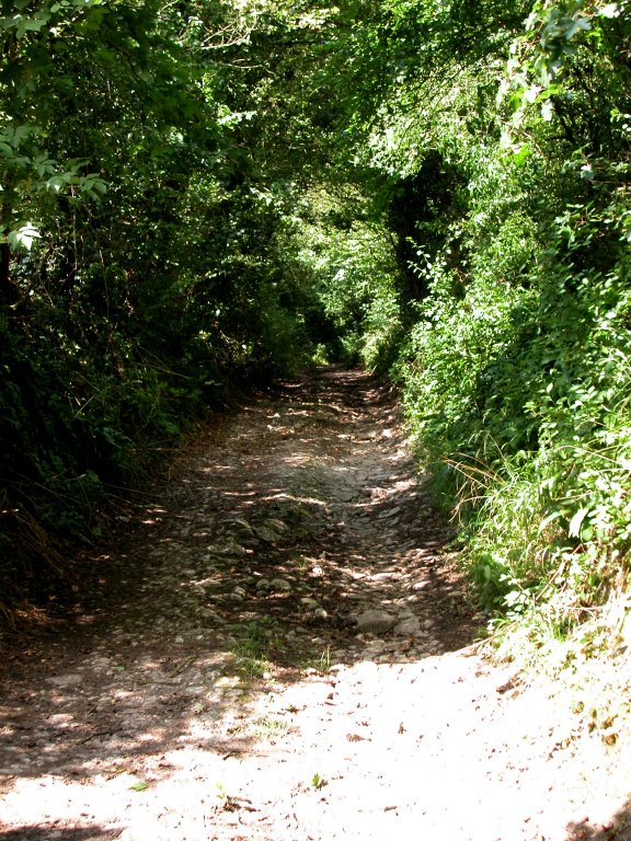
A look at the Gorge itself from below should be first on the menu, so wander along the B3135 westwards out of the village where you will find "tourist" Cheddar; the car parks, gift shops, cafes (useful for filling flasks, I've found) and the Cheddar Caves. If you've not yet seen the caves this would be a good opportunity to do so - they are as interesting as those at Wookey Hole yesterday and the more absorbing for being entirely natural. Venture along the road for a while into the gorge proper to admire the feast of rock architecture from below; there will be nothing like this again until Dovedale in Derbyshire.
Our route runs along the top of the gorge on the south side. There
is
a path up from the caves (called "Jacob's Ladder", naturally) but a
toll
is payable; it's cheaper, and ultimately more satisfying, to head back
into the village and keep turning left until you hit the public
footpath
- a rather unassuming lane between cottages at first - that climbs the
nose of the scarp slope to the pastures at the top of the gorge. You
can
now have some devilment telling day trippers who've laboured up from
the
caves that they've wasted their money.
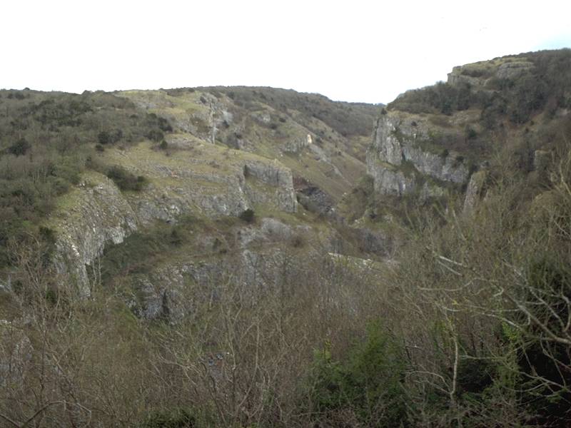
The gorge; footpath up from the village; Cheddar from the top
Limestone walls; summit pastures; view of Cheddar from the gorge top
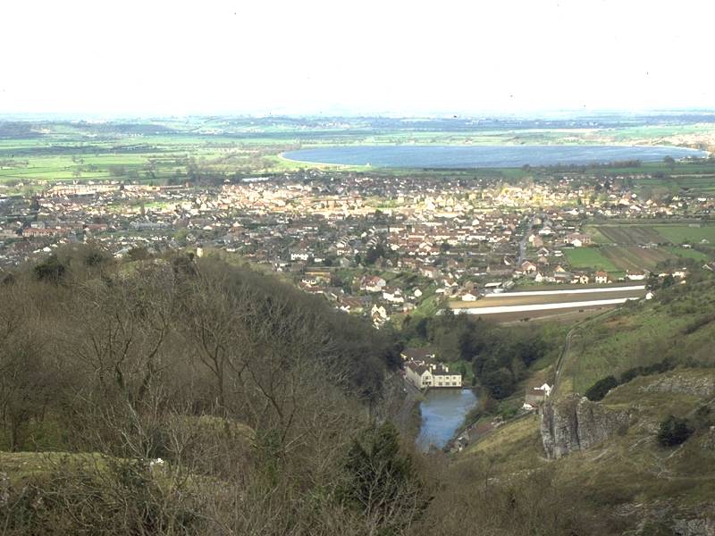
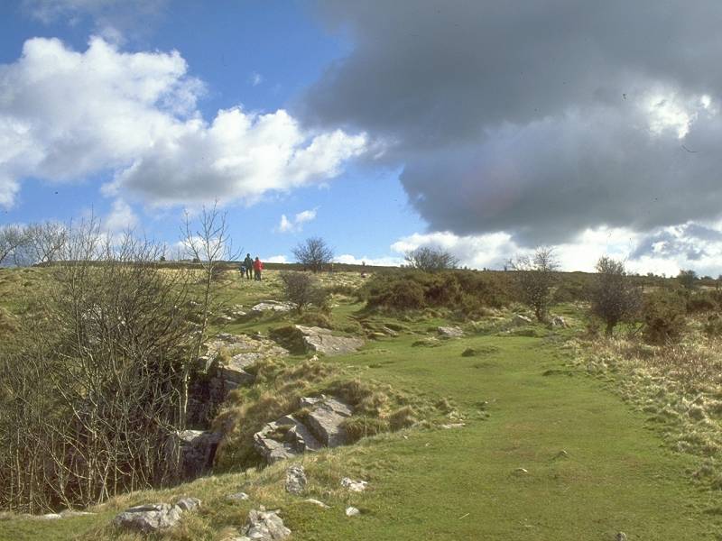
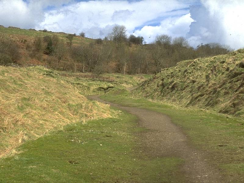
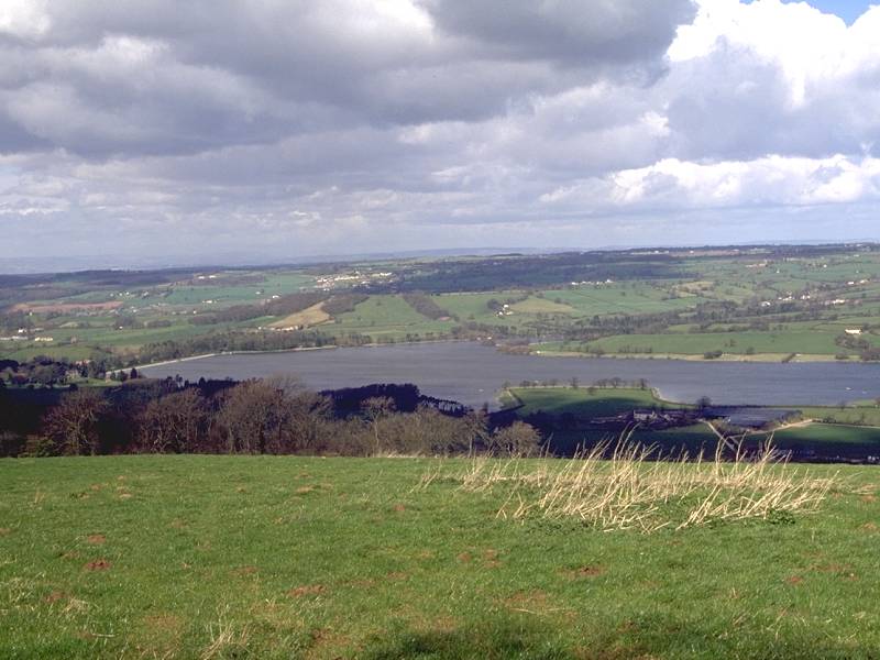
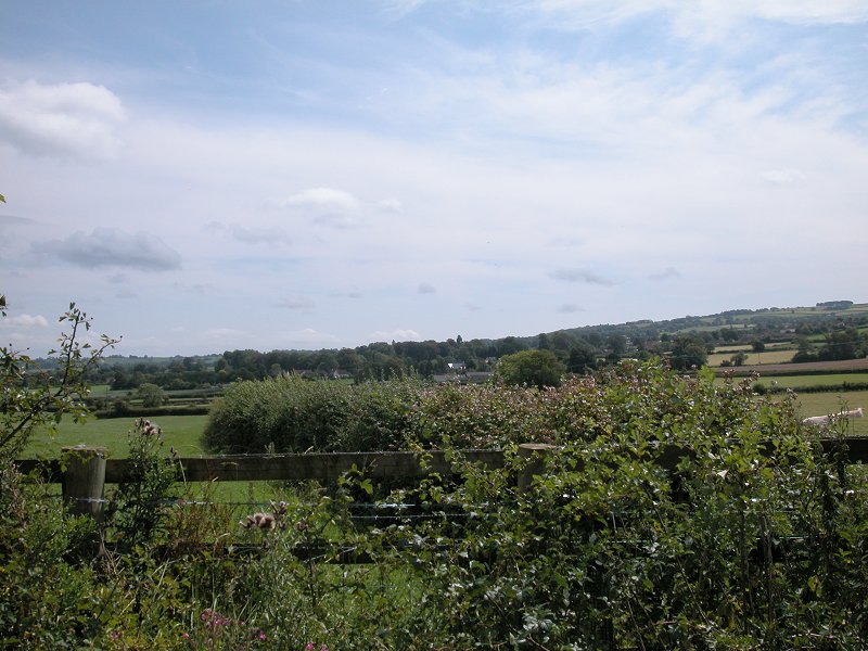
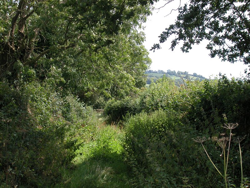
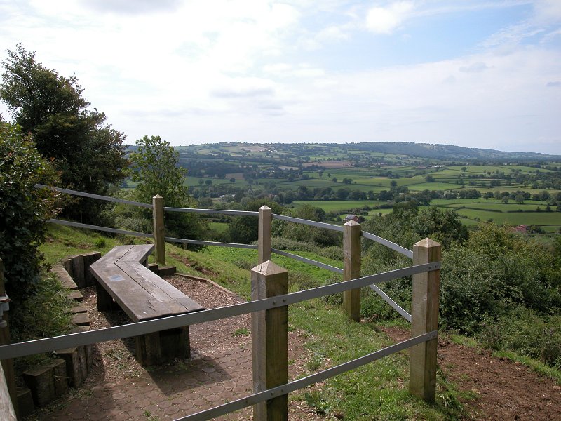
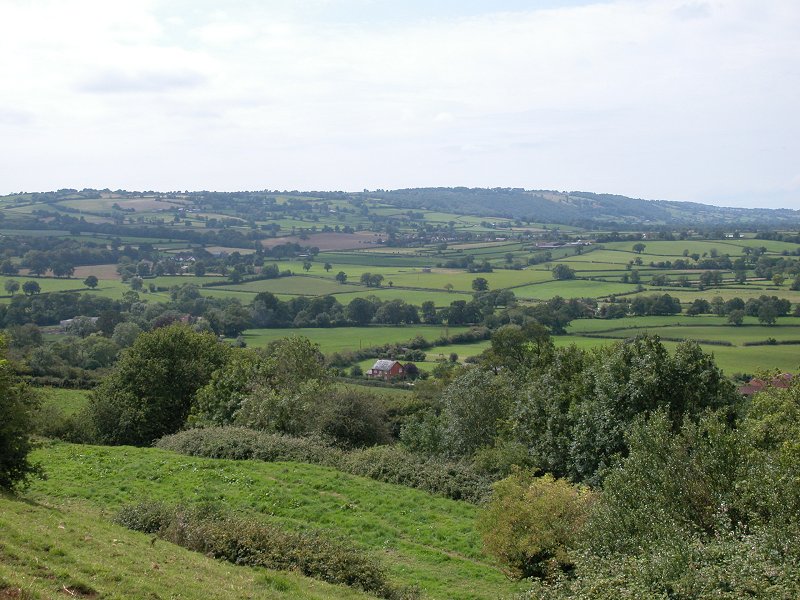
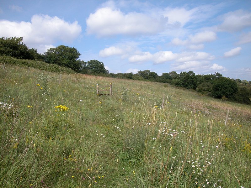
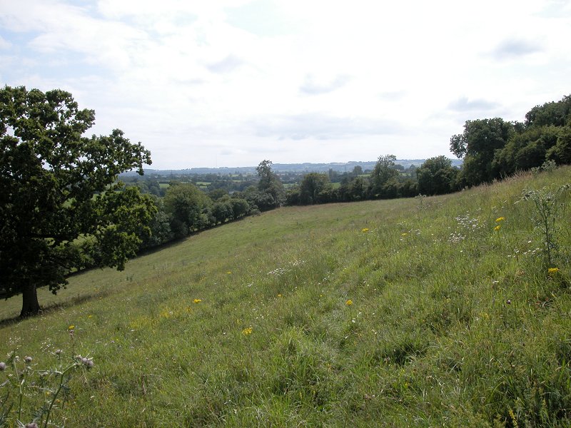
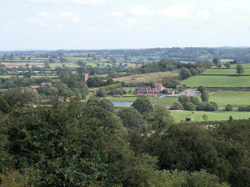
The route now runs for the best part of a mile alongside the edge of the gorge. There's something of the flavour of the Cornish coast path here (and how long ago that feels now!) in that you can choose the direct "motorway" route or a more complex side path that hugs the lip of the gorge. Sections of either can be mixed and matched to taste, of course. The rock scenery makes the gorge-top path a must in my opinion - the retrospective views of Cheddar and its circular reservoir, with the sweep of the Somerset Levels beyond, are a bonus and you can have fun picking out the features of the past few days such as Wells cathedral, Glastonbury Tor and the dark line of the Quantocks far to the south west.
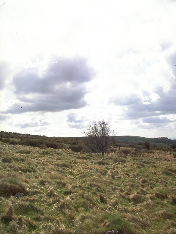
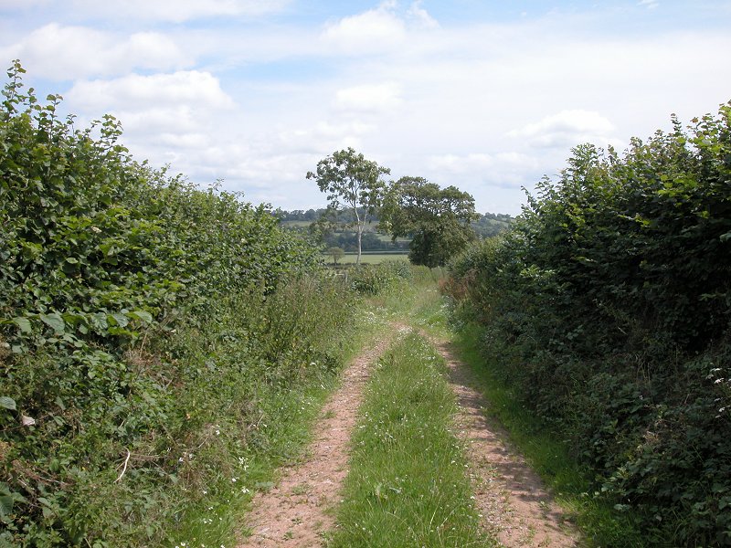
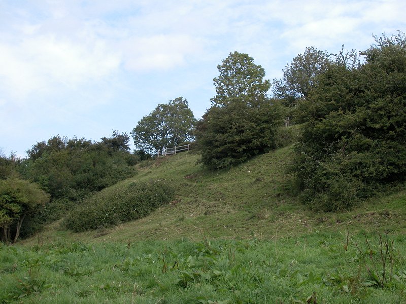
lone tree
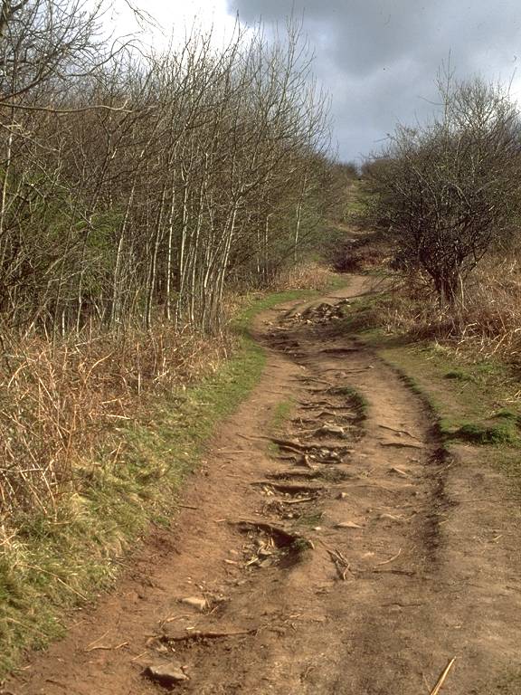
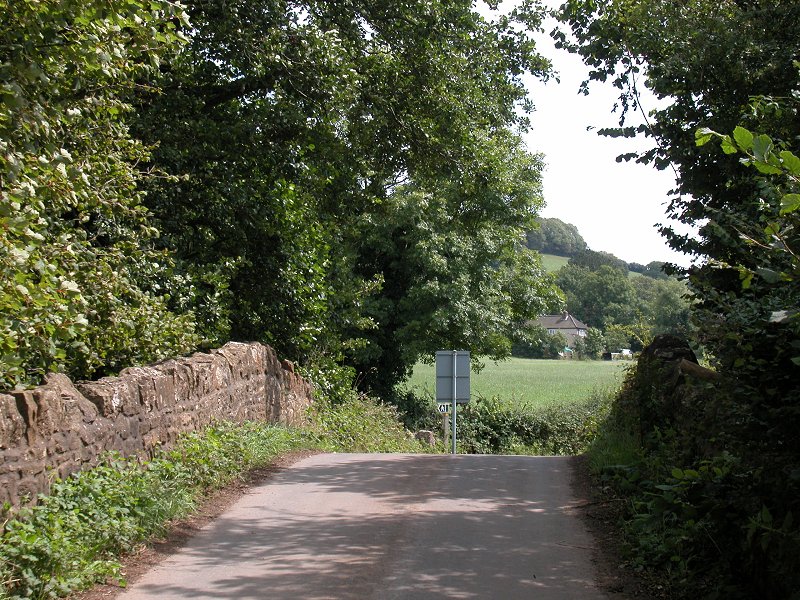
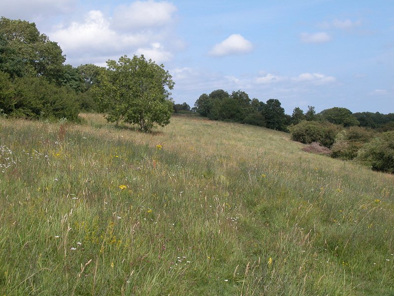
The scenery on top of the gorge verges on heathland and can be quite wild in places. Having passed the best of the Gorge scenery and topped the 255-metre summit of this section of the scarp, it's time to head down through the trees towards Blackrock Gate. The correct route can be a sod to find; the trick is to find a nose of high ground jutting out eastwards and, heading down it, locating a stile on a northeast bearing at the edge of the trees. The issuing path nips smartly downhill (a bit too smartly if it's rained recently), first northeast then east, to hit the B3135 on a lazy meander.
Blackrock Gate
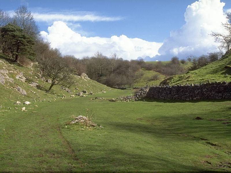
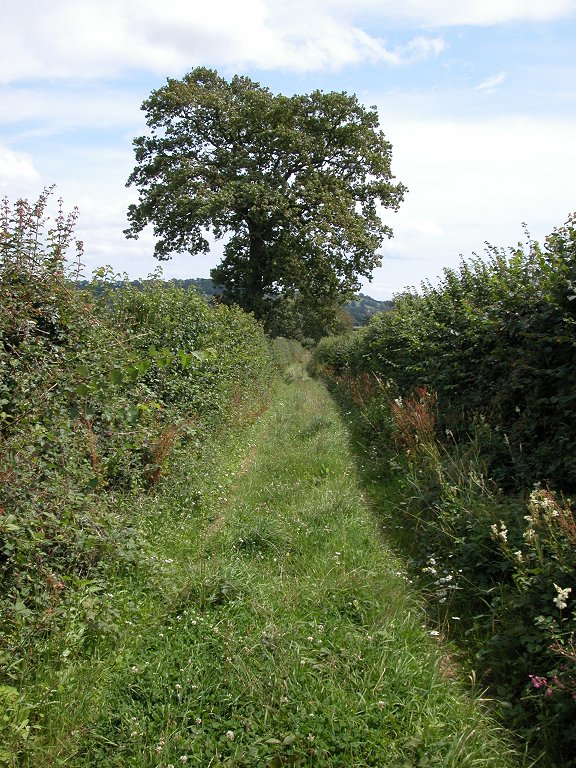
Velvet Bottom
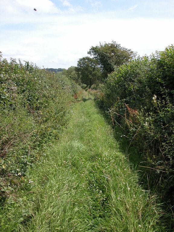
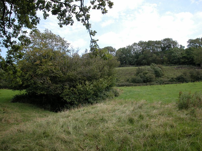
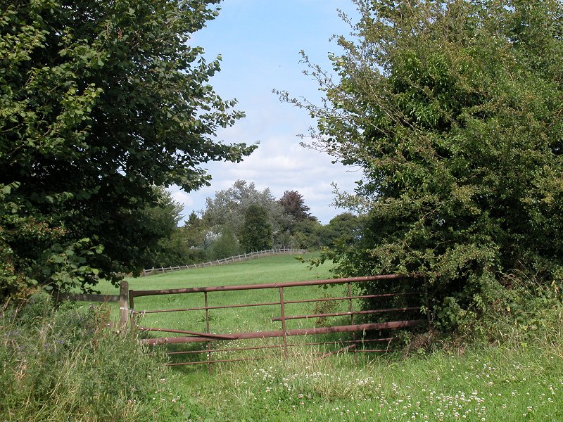
The road, having wound its way to the top end of the gorge, now follows what is effectively an offshoot to the southeast. Cross the road and walk through another short stretch of woodland to come out into Velvet Bottom. Effectively the continuation of Cheddar Gorge by another name, Velvet Bottom is appropriately named. It's floored by a pasture of lush green grass that could almost be used as a tennis court. The walls of this dale are downy slopes rather than naked limestone but the scenery, while lacking the drama of the lower gorge, is still more than pleasing. The dale winds sinuously along for the best part of a mile, the path climbing at least one bank that has every appearance of being a disused earth dam.
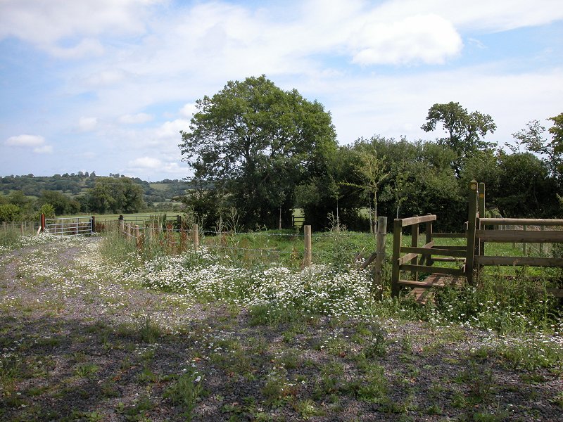
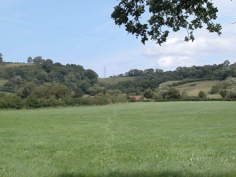
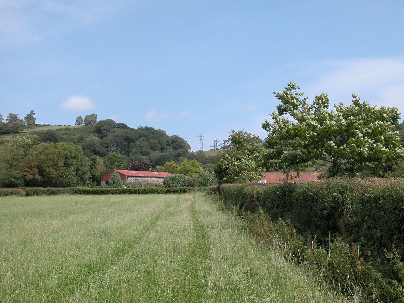
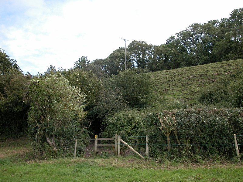
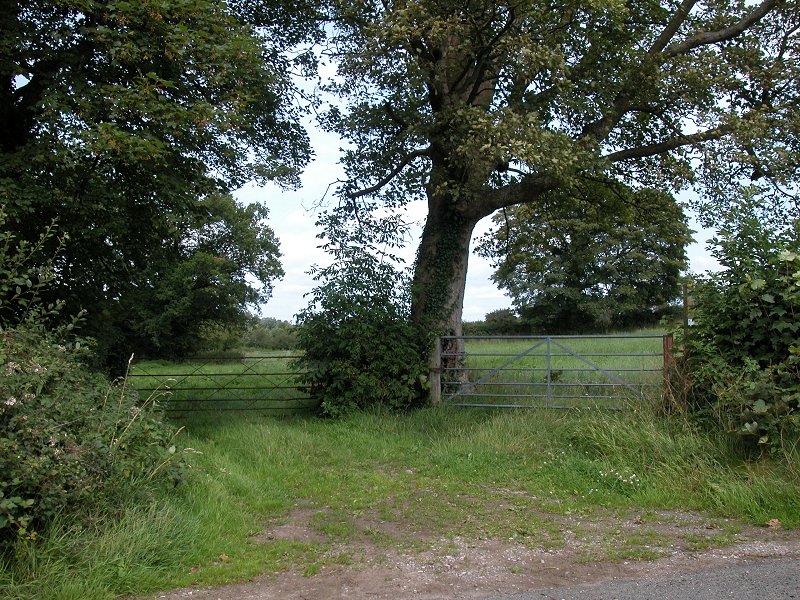
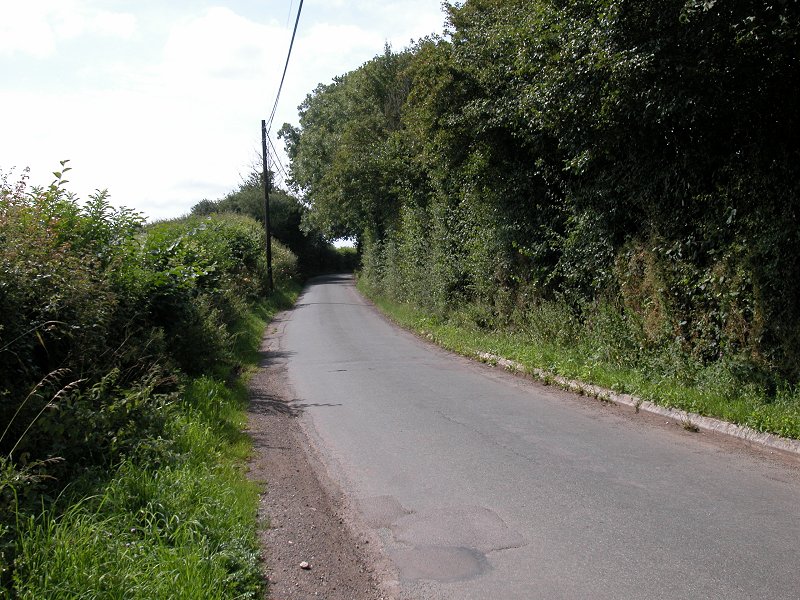
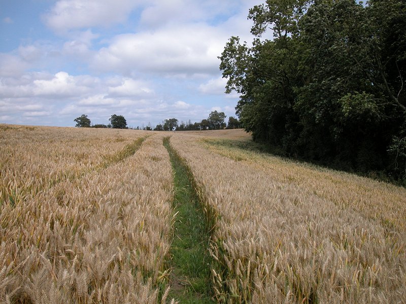
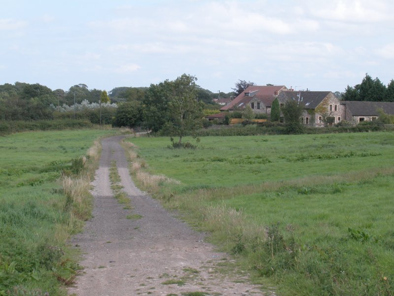
At the east end of Velvet Bottom you pass the Mendip Adventure centre to come to an area of slightly confused terrain; contours seem to wander everywhere at random and you need to keep a careful eye on the map. Avoid fenced-off areas as there are abandoned mine shafts hereabouts. You meet a minor road at a bend; follow the road for some 150 meters then follow a track leading straight ahead just before the road curves sharply to the right. This track bends left to come to the end of another surfaced lane; turn right, then left after a further 100 meters to take another track taking a long, lazy s-shaped meander through a slight depression, first half left then fully right. This locality is named "blackmoor" on the 1:25,000 scale map. With a patch of woodland on your left now, you have a straight track of some 1100 meters to follow, passing Nordrach farm (beyond which the lane is surfaced) and climbing steadily to come out onto the B3134 Wells road at a hilltop near Hazel Warren Farm.
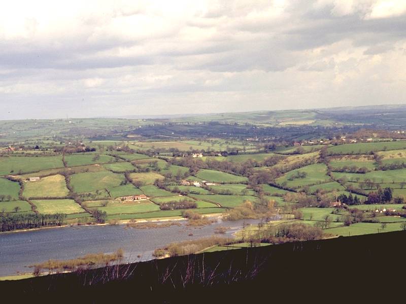
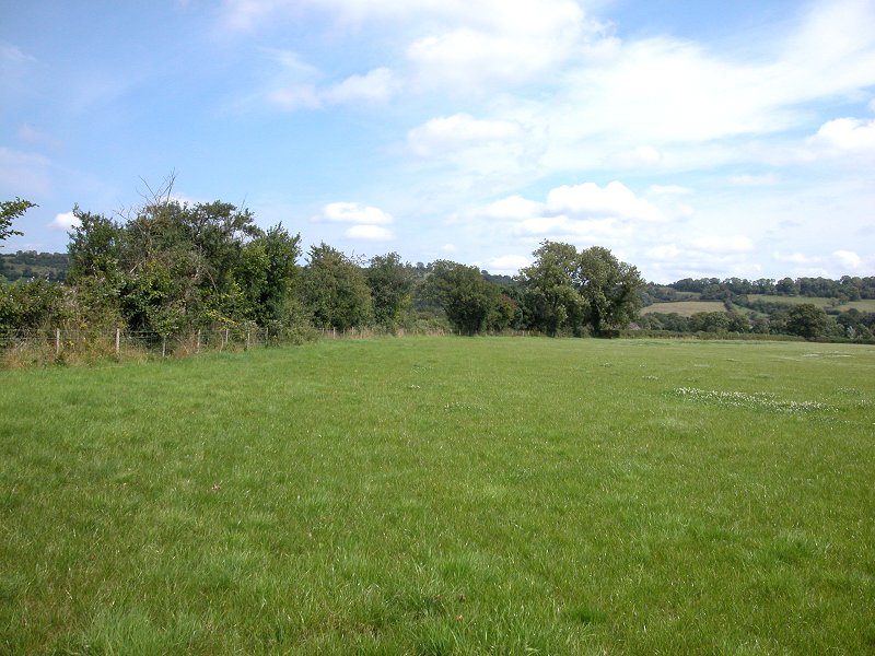
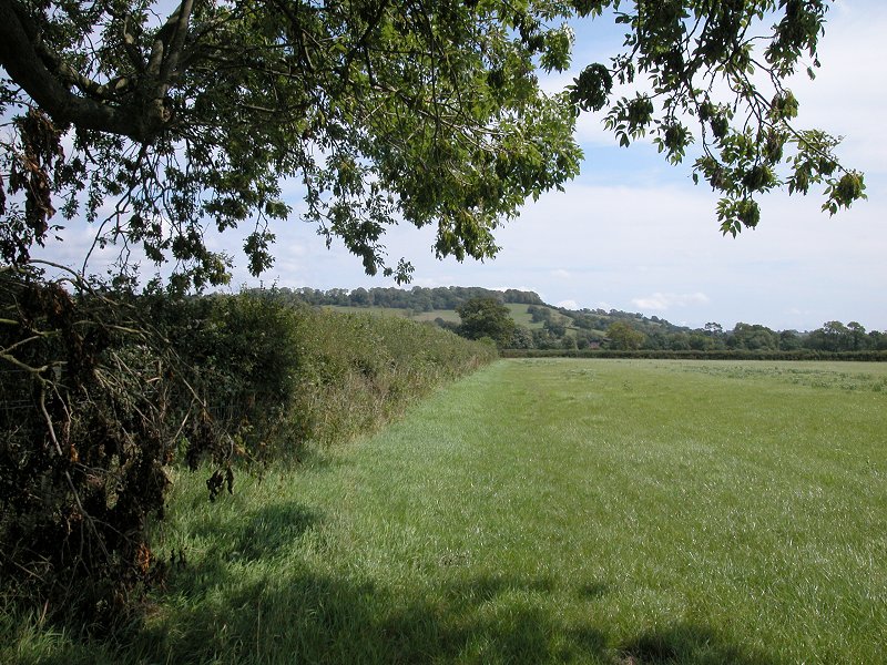
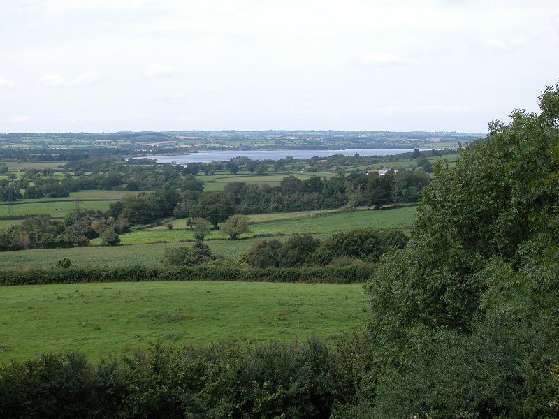
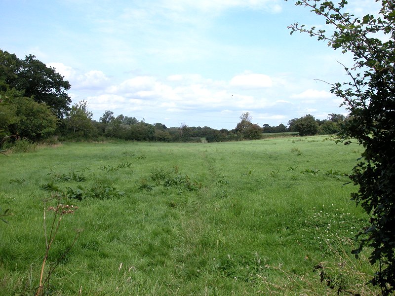
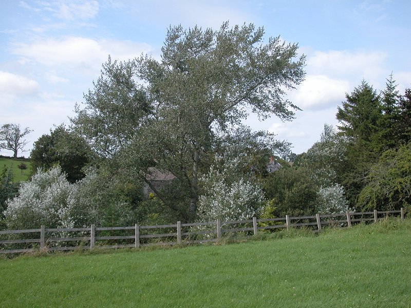
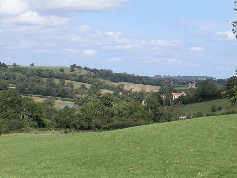
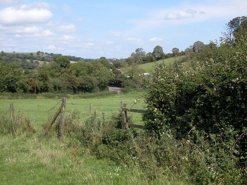
Turn left onto the B-road but then take a turning to the right almost immediately; this is an unclassified road heading initially east, then northeast, to Hazel Corner. Here you're at the highest point of the route as it crosses the Mendip scarp, at approximately 260m above sea level. At this point our route joins the Limestone Link marked trail, which we shall follow for the rest of the day and for much of tomorrow. At Hazel Corner the road curves right again; here, take a track leading straight ahead. It soon gives a view out across the dip slope of the Mendips into the Chew valley, where you will see Blagdon Lake slightly to the left and the rather larger Chew Valley lake over to the right. The lane passes Hazel Manor on the left and, just before it reaches the steeper part of the downslope, you should turn right for the track to Hazel Farm and continue past it steeply downhill into Compton Wood.
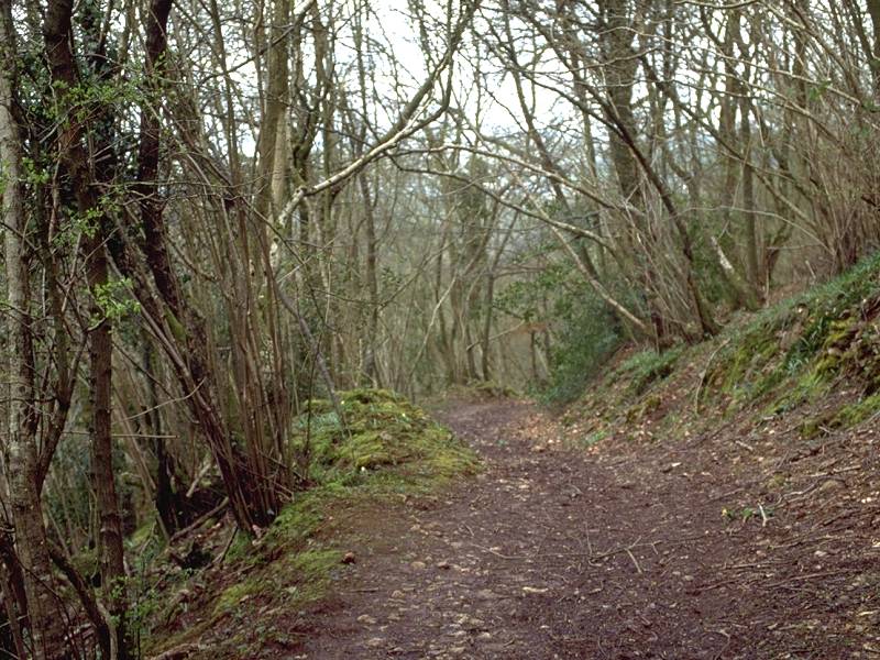
As you pass into Compton wood you cross another significant local authority boundary; you're leaving Somerset and crossing into what was the county of Avon (based on Bristol and Bath) between 1974 and 1997. Avon has since been turned into four so-called Unitary Authorities - areas that have the status of both a county and a district or borough. You're now in Bath & North East Somerset UA.
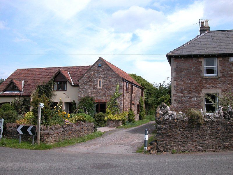
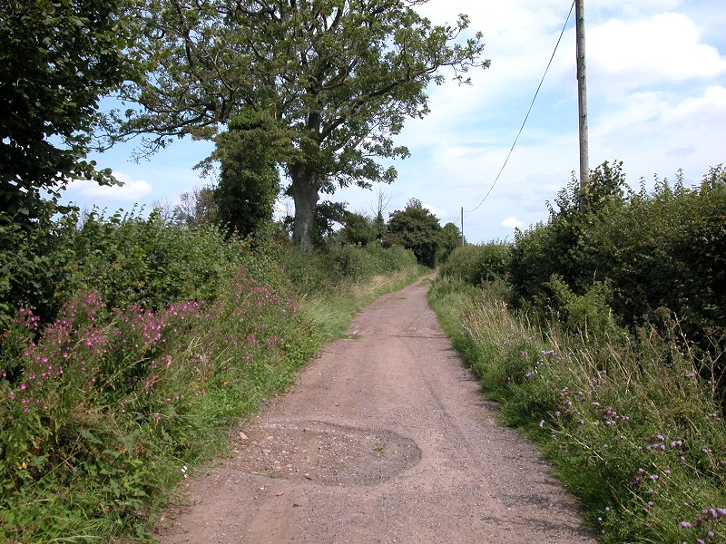
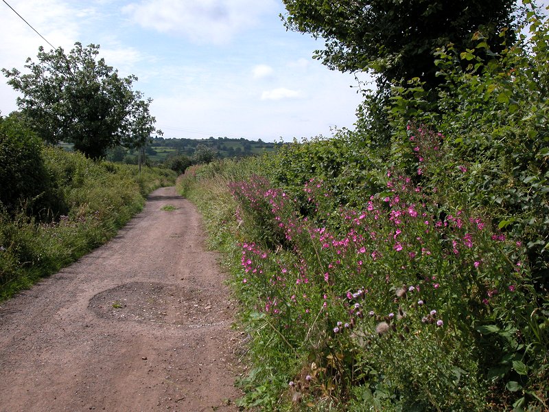
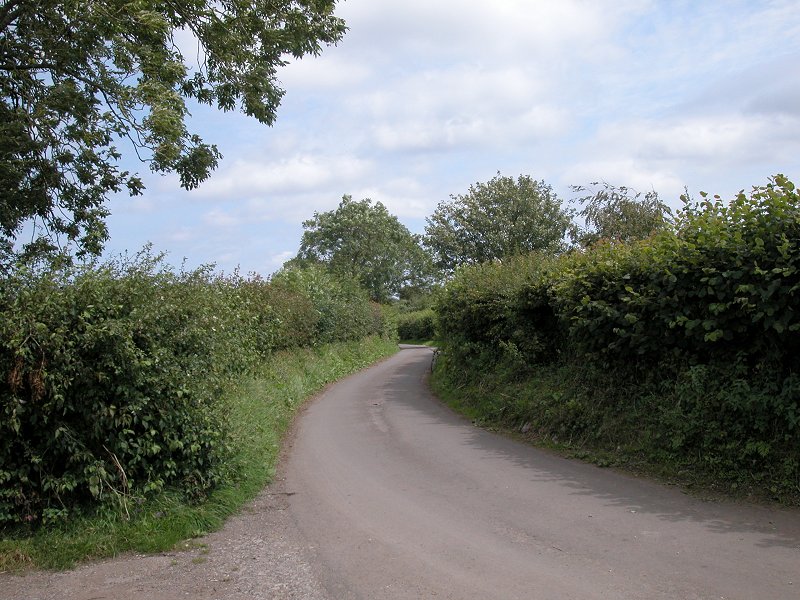
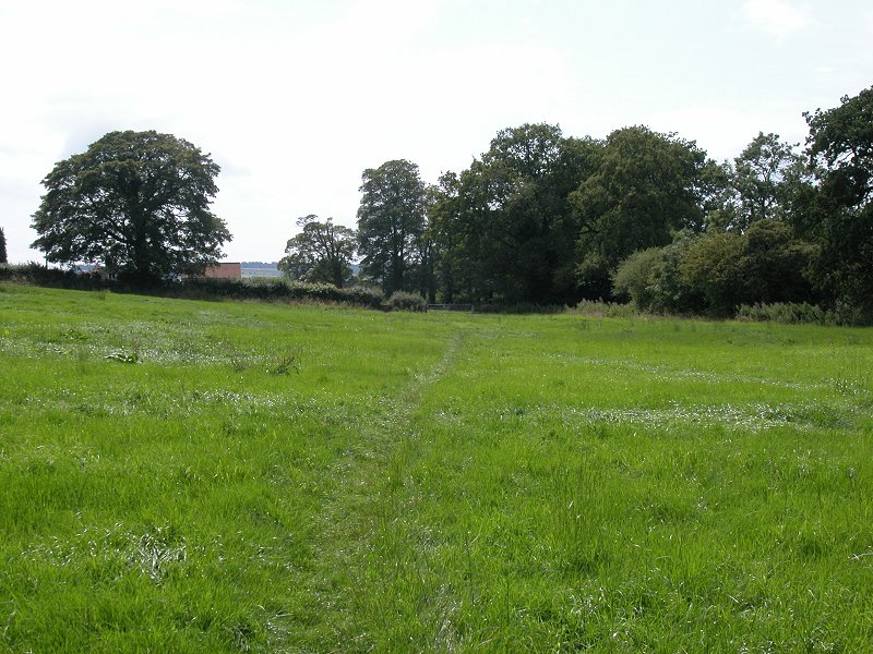
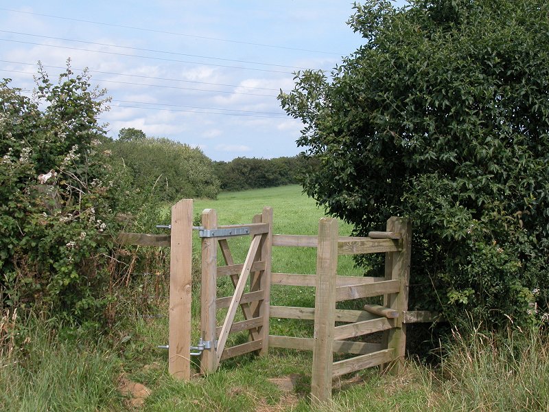
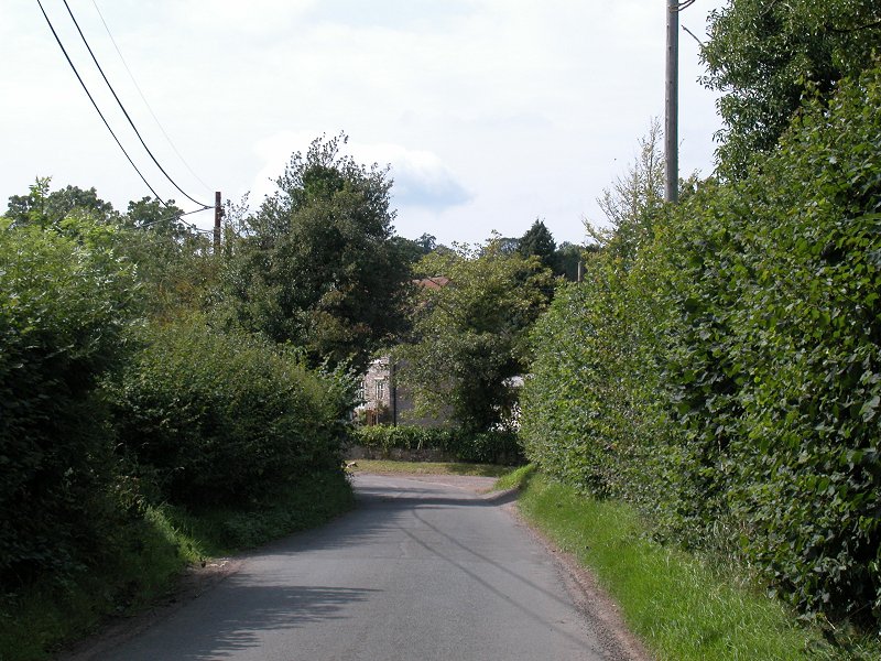
Drop through Compton Wood, reaching a dell at the top of a lane above the village of Compton Martin. Find another path heading due east from here, skirting the village along the contour. This brings you to the head of a minor road pushing out of the village to the south. Go left then right, crossing a small enclosure on the edge of the village, to hit Highfield Lane; turn right and follow it uphill between hedgerows. About 100 meters after a sharp right bend turn left onto a footpath heading generally southeast; this is making for Beaconsfield farm. Short of the farm you reach the minor road of Harptree Hill; go down the hill for about 100m, then fork right onto a farm track called Cowleaze Lane. This takes you towards West Harptree and can be rather wet underfoot.

|
£3.50
inclusive
of postage / packing. |
| Wells to Cheddar | Back to Somerset Way index | Temple Cloud to Bath |
This page last updated 5th September 2004
