
| Cheddar to
Temple Cloud |
Back to Somerset Way index | Bath to Old Sodbury |
| Cheddar to
Temple Cloud |
Back to Somerset Way index | Bath to Old Sodbury |
The first half of the walk, which you will cover in the morning, follows the Limestone Link through the valley of Cam Brook. The Cam Valley is an area of rather chaotic topography and has a strange, half-neglected air. I understand that it was a coal mining area half a century ago, and was served by a railway line that is now abandoned and which forms part of our route.
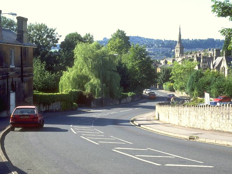
The second half of the day is entirely different. From Splott Farm the route climbs up to Ashgrove to pick up the line of the Fosse Way, a highway nearly 2000 years old. It was one of the three principal trunk routes of the Romans during their four-hundred year occupation of these islands. The Roman roads invariably ran dead straight across the landscape and the Fosse Way is no exception. It ran from the southwest to York, and a few miles north of here the Romans developed the spa town of Aquae Sulis, which was to become the modern city of Bath. Much of the Fosse Way is now the A46 trunk road, but sections of it around here have reverted to no more than a lane, a farm track or even a simple path. We follow the Fosse Way to Bath's outskirts, then divert to the east to visit Southstoke, the first example of a village built in Cotswold stone. The lovely valley of Horsecombe Down follows, from which we walk north into the city's suburbs. A series of walled footpaths over Fox Hill leads into the city almost by stealth, and once we walk down a secluded lane into the locality of Perrymead there is only a mile of quiet back streets to walk before we turn right, cross the canal, walk through a vaulted arch under the railway station, and find ourselves in the city centre. The Somerset Way concludes in Bath's cathedral close, from where the Cotswold Way begins its journey along the lovely limestone spine of the Cotswold Hills to Chipping Campden.
Maps: OS 1:25000 Explorers 141 (Cheddar Gorge & Mendip Hills West), 142 (Mendip Hills East)
Click
on
any thumbnail image in this gallery to display the corresponding full
size
image. The images are access protected through a cgi script to prevent
hotlinking. If you encounter problems while trying to view the full
size
images, please read the access advice
page.
Alight from the Wells - Bristol bus at the Cholwell residential home
just north of Temple Cloud. The footpath leads off to the east, running
to the right of a field boundary. It turns northeast to cross a
pasture,
coming out at the corner of a road at the edge of the village of
Clutton. Turn right along the road and, where this road bends to the
right, follow a footpath straight on. This leads across a pasture to
come to a junction of six rights of way and the trackbed of a
dismantled railway.
Aim for the path that leads straight on, passing Willow Farm. The
footpath runs parallel to the road of Marsh Lane. Keep straight ahead,
to run through a well defined little valley called Long Lands.
Greyfield Wood lays to your left, and steep slopes to your right are
topped by Highbury Hill Wood.
At the southeast end of Long Lands the route becomes intricate so
keep an eye on the map. Swing to the right at the corner of Highbury
Hill Wood, crossing a footbridge, to reach the edge of Stephen's Hill
Wood. Go round two sides of this wood to another footpath junction, and
at this point take the path to the south to reach another old railway
track. We'll be seeing more of this shortly. Go half left across the
old trackbed for a footpath which crosses Cam Brook and comes into the
village of Hallatrow on the High
Littleton
road.


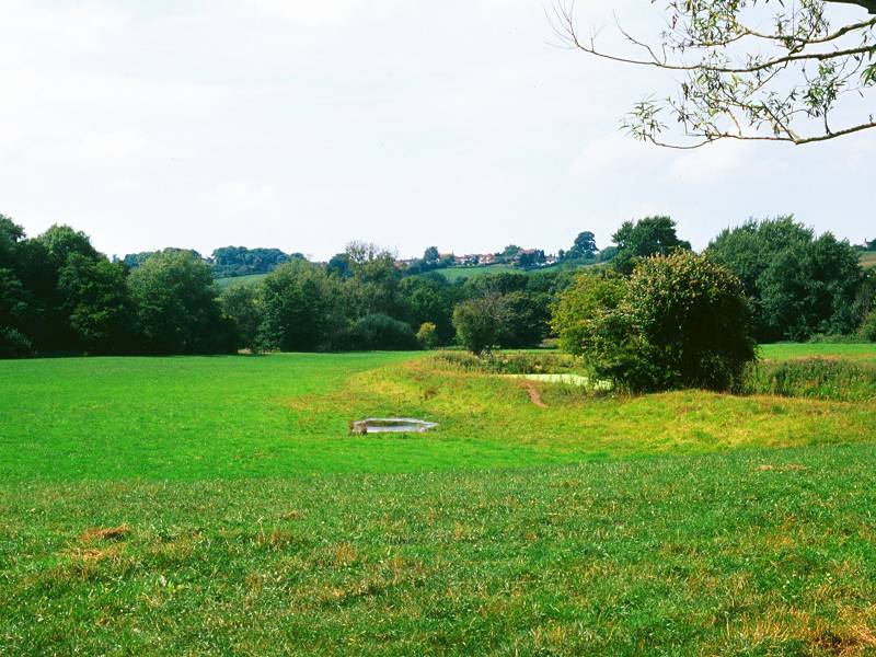
The route runs straight ahead between suburban houses. It enters a pasture but after about 100 meters it swings left to cross the abandoned Cam Valley railway line once more. Thereafter the path runs parallel to the abandoned trackbed on its north side. The path itself is "bitty" and runs through a succession of cropped fields, pastures and farms.


Pastures east of Hallatrow; joining the old railway track


The old railway track to Goosard Bridge
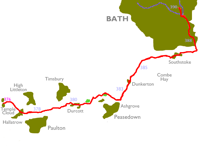
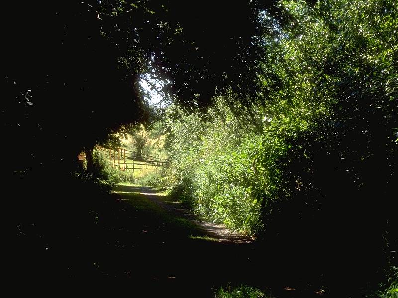
The old railbed has the status of a permissive path (i.e. it's not a legal right of way but the landowner allows access), and is generally in better shape than the footpath itself. Both the path and the railbed run through light tree cover and mixed farmland as far as Goosard Bridge. In high summer both alternatives tend to get rather overgrown.


The path from Hallatrow to Goosard


Approaching Goosard Bridge; steps up to road; looking back along the path
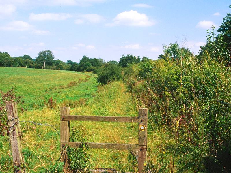
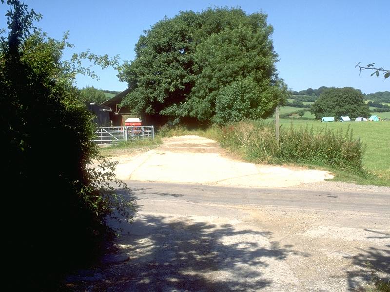
Once you reach Goosard Bridge go slightly to the left to find a flight of stone steps leading up to the road. This road is narrow and is fairly thickly wooded - watch for traffic. Turn right to cross the bridge, cross to the east side of the road, and a couple of hundred meters further on, follow a drive diverging to the left for a waterworks facility. Just before the works turn left to follow a footpath hemmed in by hedges. After a short distance this path disgorges you into a pasture.

Entrance to waterworks


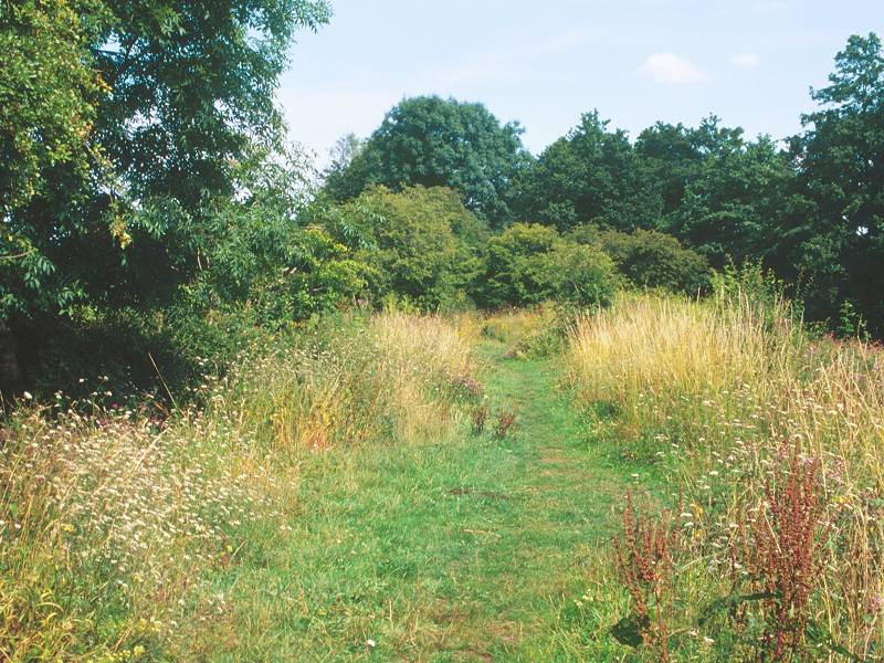
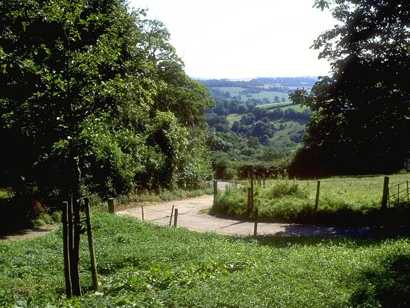
For the next mile and a half our route follows the line of the Limestone Link trail, along the valley of the Cam Brook, to the tiny locality of Radford. Initially the line of the path on the map is very confusing but the actual path is less so; adequately waymarked and pretty obvious on the ground, it first approaches a watery depression in the pasture in which you've arrived, apparently making a beeline for Withy Mills Farm, then swings right. It curves slightly left again, running down towards a gate and stile in the corner of the field.

The Limestone Link trail south of Withy Mills Farm
The route is obvious now, marked and well provided with stiles. It is more or less sandwiched in between the line of the old railway (to the north), and Cam Brook (to the south). Withy Mills Farm lies on the other side of the railway to the north.

Withy Mills Farm gives way to Dunford Farm, where two side trails join from the north together with one from the south heading to Red House Farm and Upper Radford.


As you near Radford itself the line of the route gets intricate and a few more waymarks here would help. Four hundred meters out from Radford you meet Mill Lane coming steeply down from the left, and a driveway leads away half right between a cluster of farm buildings. The correct route would appear to involve turning left into Mill Lane, crossing the line of the old railway then going immediately right into a dark little path indiscernible on the map; a hundred meters further on the right of way merges once more with the old railway, but immediately before Radford bridge itself leave the railway track to the left. The road bridge over the railway has been filled in (apparently very recently). If you find yourself utterly confused you might instead try the farm driveway from the Mill Lane junction, which should at least get you to Radford direct. Frankly, another visit to this spot will be necessary to fix the true line of the path.
A slightly more elegant route that avoids much of the road walking, but instead involves some ascent and descent, is my preferred approach. Take the northeast lane away from Radford (heading for Bath) and walk uphill for some 350m. Just by the corner of a wood on the left, a pair of public footpaths leave the road to each side. The path coming in from the left was my original 1995 route, since dropped. At that time the path to the right was not waymarked (and didn't actually appear to exist). Now it's easy enough to follow. A stile gives access to a short but steep flight of steps that drops you into the adjacent pasture. The route will probably not be obvious on the ground but walk down the pasture, roughly east southeast, heading for a spot midway between a couple of greenhouses. As you approach Durcott the stile across the village's back fences becomes obvious.


Approaching Durcott across the pasture; intricate right of way through garden
Now an intricate bit, for the right of way goes through someone's garden! A cinder driveway drops away to the southeast but this is not the footpath - instead head half right for a grassy strip that curves off to the left behind a shrub (see second image above - the path is on the far right). This is only a few yards long, and in turn gives access to a second short path that drops diagonally down towards the corner of a garage. From here take the short garage drive, turn right into an access road and then left onto Durcott lane. If you hit all this right first time you'll be very lucky - a couple more waymarks would be a good idea here.

Durcott
There's perhaps three quarters of a mile of road walking through Durcott, a pleasant enough place and centered around the junction of the road up to Camerton (only a few hundred meters to the south). There's a nice little footbridge over Cam Brook nearby. Eagle-eyed walkers will have spotted a parallel footpath to the north, missing out Durcott - by all means take it if you can find the access point. A further footpath runs east from a point just north of the Camerton crossroads, but I tried this in 1995 and found it very difficult to follow. It's far more straightforward to follow the road.


Durcott
A prominent wooded knoll just east of the village begs to be climbed but there is no through path. You have two choices again now - keep following the lane, which crosses Cam Brook for the locality of Wicklane, or - at the first bend before the river bridge - follow a footpath straight ahead which hugs the southern edge of the aforementioned wooded knoll. This is the preferred route.


Durcott; footpath south of wooded knoll
Beyond the environs of the knoll the path comes out into a pasture. There's a ghost of a path, which tracks diagonally across to a gate to the left of the farm building. The gate gives access to a field-side path. The green footpath dashes are pretty much obscured by detail on the map here, but follow the field-edge round, keeping the farm buildings to your right, and follow the farm driveway southwards for a short distance to where you hit the line of the old railway once more. The alternative route via Wicklane comes in here from the other direction.


Crossing the pasture to the farm; field-side path around farm buildings


Rear view of the path past the farm buildings; track to Cam Brook


Footpath to Stoneage Farm
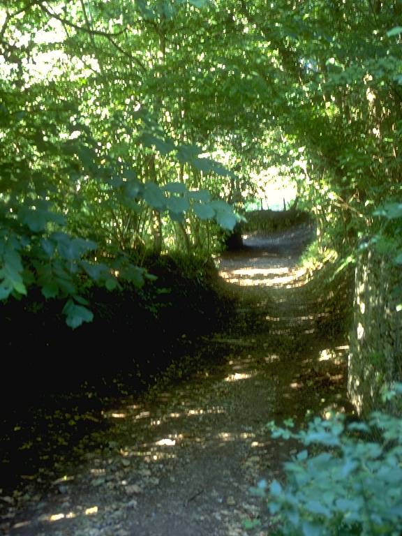
The route does appear to keep south of the trackbed and runs through a long, narrow sloping pasture which appears to be little used. Eventually you come out onto a lane coming down from Tunley to your left. Follow it to the right for a short distance, crossing Cam Brook and passing Stoneage Farm.
Directly past the farm a path leads off to the left, heading towards another wooded hill. The path gets crowded in between the contours and becomes a track.

Bridleway to Splott Farm


Bridleway to Splott Farm; Splott Farm
The track, about 500m long, comes out onto a lane which, if followed northeast for a hundred meters, reaches Splott Farm. You have alternatives again here. The lane heads for Dunkerton and ultimately Dunkerton Bridge, which is useful if you're pushed for time as it cuts off around a mile of route and also avoids an ascent. There's also a footpath heading in the same direction, running generally through river meadows immediately south of Cam Brook - I don't recommend this alternative as the paths are in poor shape. The preferred route turns right immediately before Splott Farm, going through a gate, and follows the obvious line immediately south of the farm buildings heading for rising ground ahead.


Although the actual path leading east-southest away from Splott farm is sketchy, the line of the route is obvious. First walk alongside a hedgerow to the south, avoiding the odd bit of boggy ground. The line of the right of way then turns very slightly left to follow a shallow depression up through a pasture. At the top of the pasture search around to the right a little to find a gate in a gap in the hedgerow.


This is a point at which I went wrong on the original hike. Once through the gate go left again for a few meters, where you should find a field boundary heading uphill to your right. At certain times of the year, depending on the state of the growing crops, this field boundary may not be obvious; it's following a shallow depression and heading at about 130 degrees east of grid north. As it tracks uphill it curves more to the east, heading directly for a prominent wooden pole carrying power lines to the left of the buildings in Ashgrove at the top of the hill.


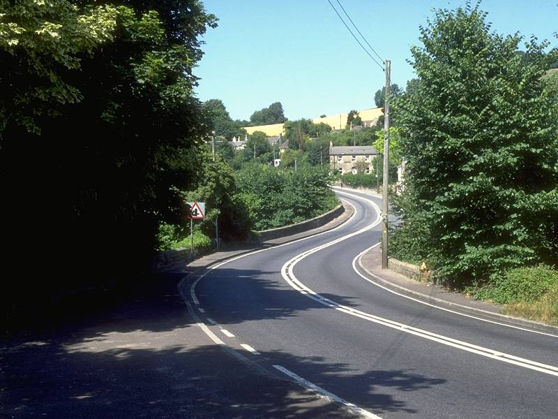
As you near the top of the hill you will see Ashgrove slightly to your right, with Peasedown St John beyond. The track breasts the slope of the hill at the power pole and after passing a back yard it dips right to disgorge you onto the main A46 at the northern end of the village. This is the old Roman road known as the Fosse Way.
![]() First
Badgerline Service 179 Bath - Midsomer Norton via Peasedown
First
Badgerline Service 179 Bath - Midsomer Norton via Peasedown
![]() First
Badgerline service 173 Wells - Bath via Peasedown
First
Badgerline service 173 Wells - Bath via Peasedown
![]() First
Badgerline service 184 Frome - Bath via Peasedown
First
Badgerline service 184 Frome - Bath via Peasedown


Meeting the Fosse Way at Ashgrove; Ashgrove roundabout; Dunkerton Hill
Ugh! Trunk roads and heavy traffic are exactly what we came on this walk to avoid, right? Fear not, the road section is mercifully short. Turn left and walk along the road for about 450 meters. At a prominent bend in the road there is a wide triangular swathe of grass on the side you're walking along. If you cut across to the top left apex of this triangle you should find the beginning of the secluded pathway, the true line of the Fosse Way, heading downhill towards Dunkerton.


Old Fosse Way, Dunkerton


Old Fosse Way near Home Farm
About half way down the hill, or after about 500 meters since you left the road, there is another possibility of error. The track starts to curve away to the right and in a short distance merges with the road again. At the commencement of the curve, you should turn left through a gate and then immediately right; the right of way follows the western edge of the following hedgerow, keeping to the line of the Fosse Way. At first it's in open pasture but soon drops down into a little ribbon of dark woodland. the path just here doubles as a watercourse and can be extremely muddy; the juice can be avoided by escaping up the slope to your right and squeezing through the wire fence, then walking along the side of the copse. This is a trespass; do it only if the floor of the copse is impassable.

Dunkerton Bridge
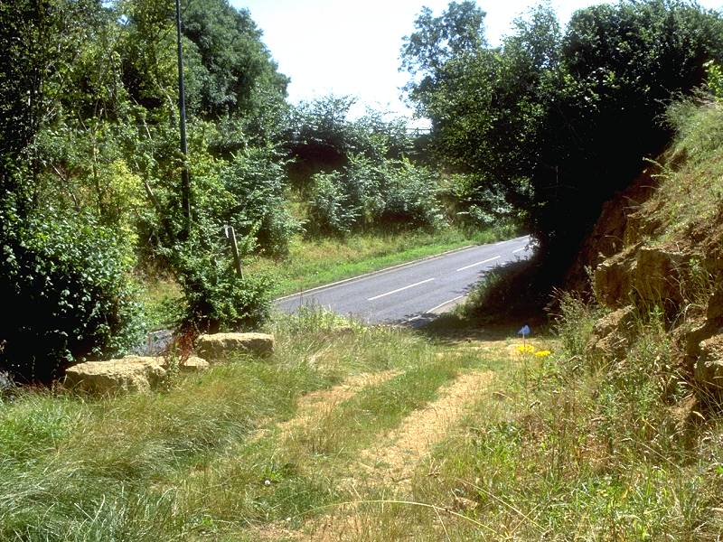
You've arrived at Home Farm, where you rejoin the main road for another unavoidable section. Just here is Dunkerton Bridge, where the A46 crosses Cam Brook (remember that?) The map detail is intricate and the continuation of the Fosse Way is not easy to find. Stay on the road footway across the bridge then cross the road to the east side. Don't be surprised if this takes five or ten minutes, the traffic can be horrendous.
![]() First
Badgerline Service 179 Bath - Midsomer Norton via Dunkerton
First
Badgerline Service 179 Bath - Midsomer Norton via Dunkerton
![]() First
Badgerline service 173 Wells - Bath via Dunkerton
First
Badgerline service 173 Wells - Bath via Dunkerton
![]() First
Badgerline service 184 Frome - Bath via Dunkerton
First
Badgerline service 184 Frome - Bath via Dunkerton
Here at Dunkerton is a pub called the Titfield Thunderbolt, named after a 1952 Ealing comedy film about a group of villagers who opposed the closure of their sleepy branch railway. The film was shot hereabouts, the main location work apparently being at Limpley Stoke a few miles to the east. The Cam Valley line - which of course we have met several times today - crossed the Fosse Way here at Dunkerton. The line closed in 1951.
![]() The Titfield
Thunderbolt website
The Titfield
Thunderbolt website
Around fifty yards north of the bridge is a driveway sloping back up to the right; follow this uphill to a corner and then hard left, continuing uphill past a handful of houses. You're on the Fosse Way again, which heads steeply uphill through tree cover to a hilltop at an elevation of 146m (nearly 500ft).


Old Fosse Way leaving Dunkerton Bridge

Old Fosse Way

Old Fosse Way north of Dunkerton
Old Fosse Way
If you're using the Ordnance Survey's 1:25000 explorer maps (which I highly recommend) it's time to stow the Mendip Hills East sheet back in your pack and dig out the Bristol & Bath sheet instead. The Fosse Way runs, straight and true, for a further 1200 meters before heading downhill once more and merging again with the road.

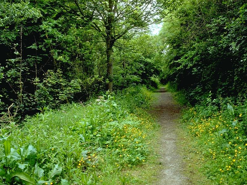
Stay on the right side of the road; there is a narrow footway. You are heading for another path that diverges to the left from the road, about 150 yards ahead; at certain times of the year the hedgerow is overgrown and it's easy to miss. The new path now follows the brow of a slope, overlooking the delightful area of Combe Hay to your right. The path hugs the side of a line of trees and then doglegs across a minor road; the path here turns right then curves left again through a ribbon of woodland.


Footpaths north of Combe Hay


Road crossing; footpaths between Combe Hay and Odd Down
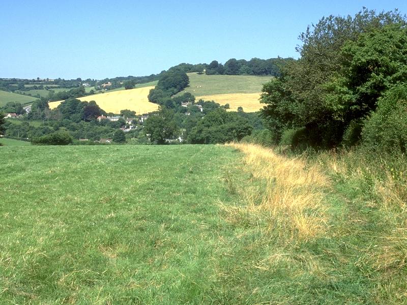
The path continues along the lip of the slope, sandwiched between Combe Hay (down to your right) and the high ground of Odd Down just to your left; you may glimpse radio masts and maybe the edge of an out-of -town retail park in this direction. After a brief field crossing the route of the path is obvious again. It curves gradually to the right and merges with an estate driveway (Sulis Manor lane) just short of the village of Southstoke.


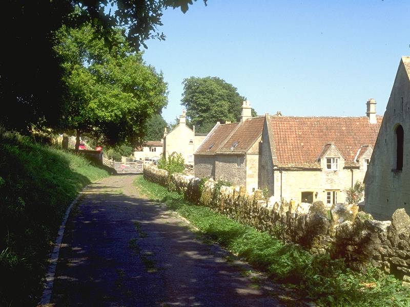
You won't find Southstoke mentioned in any of the guidebooks but I reckon that its delights should be sung far and wide. A tranquil village, it is more than picturesque. This is possibly the southernmost village to feature Cotswold Stone as its main building material - if you plan to follow the Cotswold way north of Bath you will walk through many similar villages, all featuring houses and cottages built of this same, honey-coloured stone.


Cotswold Stone buildings in Southstoke; Combe Hay
Towards the end of the village turn half left into a footpath through a nursery, crossing the far road at the forked junction that is Combe Down corner.


The footpath across the pastures of Horsecombe Vale
The footpath diverging away from Combe Down Corner runs diagonally downhill across some lovely pastureland. Horsecombe Vale is a beautifully tranquil setting. The path runs down to a small stream (Horescombe Brook, presumably, but not named on the map). There is a brief interlude of woodland and lapping water before you turn left, walking north past the tunnel portal of a second abandoned railway, and steeply uphill into Combe Down.

Ascending to Combe Down

Horsecombe Vale from Combe Down path


Entering Bath at Combe Down

First residential road in Bath
The path up from Horsecombe Vale is steep and the last few feet are on a flight of stone steps. And suddenly the path squeezes through tree cover and you find yourself standing in a residential road. You're in Combe Down, the southernmost suburb of Bath.

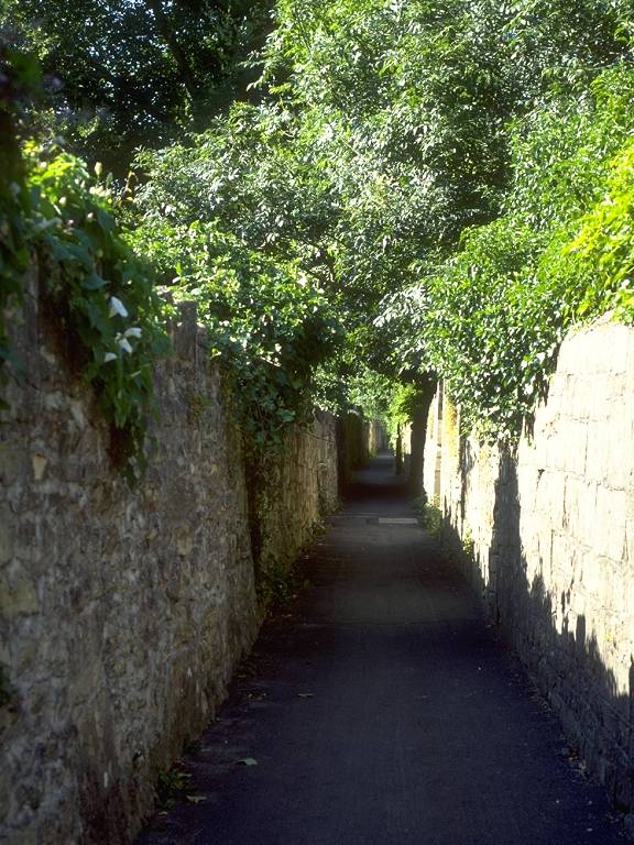

Walled paths through Combe Down
There follows about 500 meters of path, running dead straight and almost due north, cutting smartly uphill through Bath's southern suburbs. At each road crossing the houses look that bit smaller and less smart than at the last. The walled paths come out at a wide road at the edge of town on Fox Hill.

The strange bridge east of Fox Hill barracks
There is a choice of routes now; you can walk down the A3062 main road on the edge of town through Perrymead, a wooded ravine to your right, or you can take a back path heading off half left that runs past the unattractive barracks of Fox Hill. At the end of this path, which bypasses the wooden barrack blocks to the right, the path dips through an underbridge. This is a curiosity because the bridge carries no obvious path or track and, indeed, goes nowhere. Any thoroughfare that crossed it would have to lead through a private garden on one side and cross the security fence of the barracks on the other.
The lane descending trough Perrymead
Directly it dips under the bridge the path runs down a slope of open pastureland, hemmed in by tree cover not shown on the map. At the foot of the slope the path merges with a suburban back lane featuring large, walled mansions in grey stone. the lane runs out into the road you could have followed down from Fox Hill. Turn left and follow the road, past town houses now, to the next major junction; at the corner turn left again, past terraced houses and the odd few businesses, to come alongside the river Avon. Cross by the footbridge and then walk through the tunnel under Brunel's Great Western Railway to emerge on the station forecourt. Welcome to Bath city centre.


Approaching Bath city centre through Perrymead
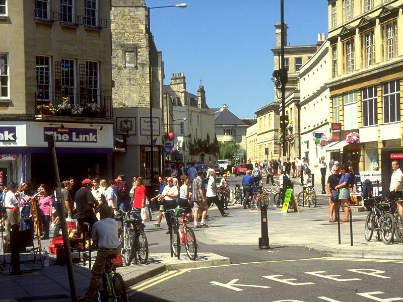

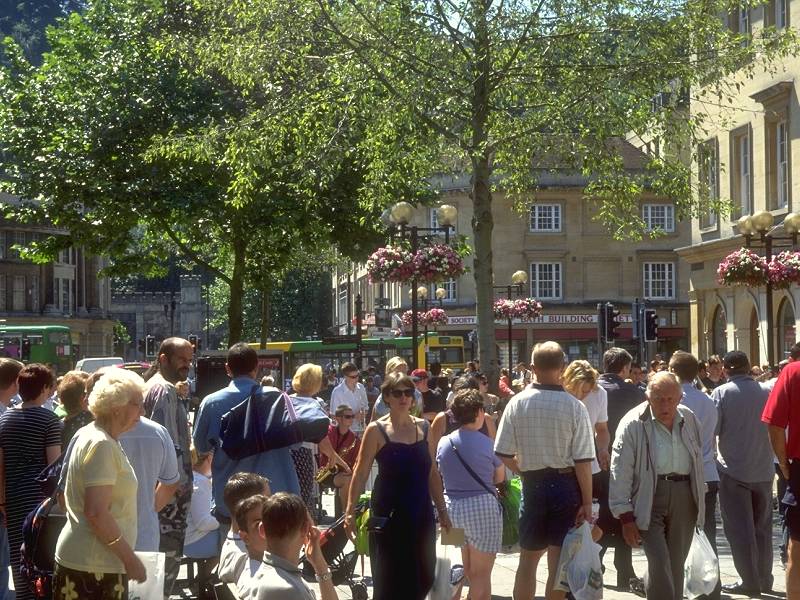


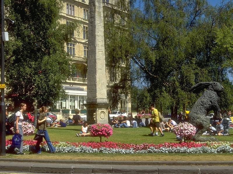
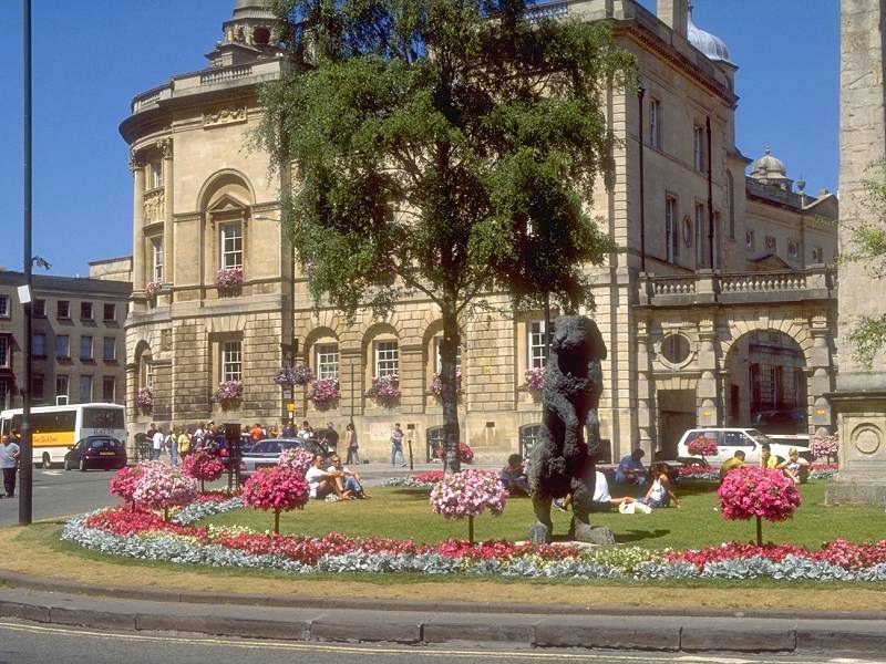
Bath City Centre: a portfolio
There is a wealth of information about Bath both in print and on the net, and I don't propose to go into very much detail here. As mentioned before the town's origins are Roman; here, where the Fosse Way bridged the Avon in a basin surrounded by significant hills on all sides, the Romans made use of a handful of natural springs to develop a spa which they named Aquae Sulis (waters of the sun). The town appears to have been abandoned in the dark ages but an abbey was founded here in about 760. Bath remained unimportant save for its abbey until Tudor times, when a new fashion for healing waters brought it back into prominence.
In the eighteenth century the town was favoured by the aristocracy
and
it was in this period that Bath became the architectural gem that we
see
today. Nash, Wood and Allen (principally John Wood) were mainly
responsible
for the elegant Georgian terraces that characterize the town, of which
the most famous are the Royal Crescent and the Circus. Among a great
many
other buildings of note is Pultney Bridge, which spans the Avon
directly
to the east of the city centre. The Roman baths, the Abbey, the
Georgian
terraces, the plentiful classical touches such as the ubiquitous Doric
and Corinthian columns, and the golden stone from which they are
fashioned,
all contribute to Bath's elegance and unique visual appeal. There are
many
other historical connections; for instance William Herschel, the
astronomer
who discovered the planet Uranus, did so in the back garden of a town
house
not two hundred meters west of the city centre. Many such historic
towns
are staid and unwelcoming but Bath has a lively, even raffish, air, and
during the summer the city centre is alive with street theatre and the
throng and bustle of tourists. It's a splendid place at which to finish
a walk.
| Cheddar to
Temple Cloud |
Back to Somerset Way index | Bath to Old Sodbury |
This page last updated 6th September 2004
