| Street to Wells | Back to Somerset Way index | Cheddar to
Temple Cloud |
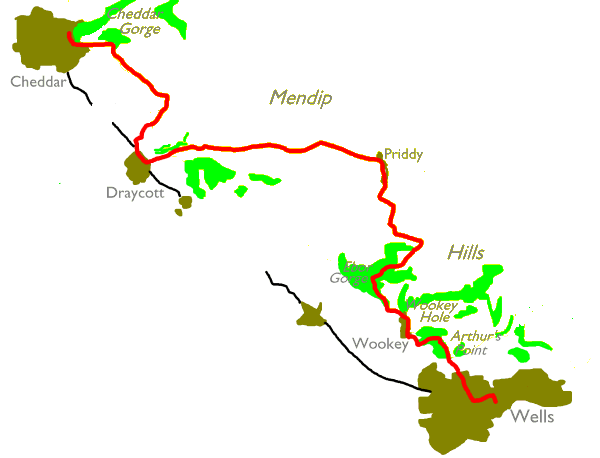
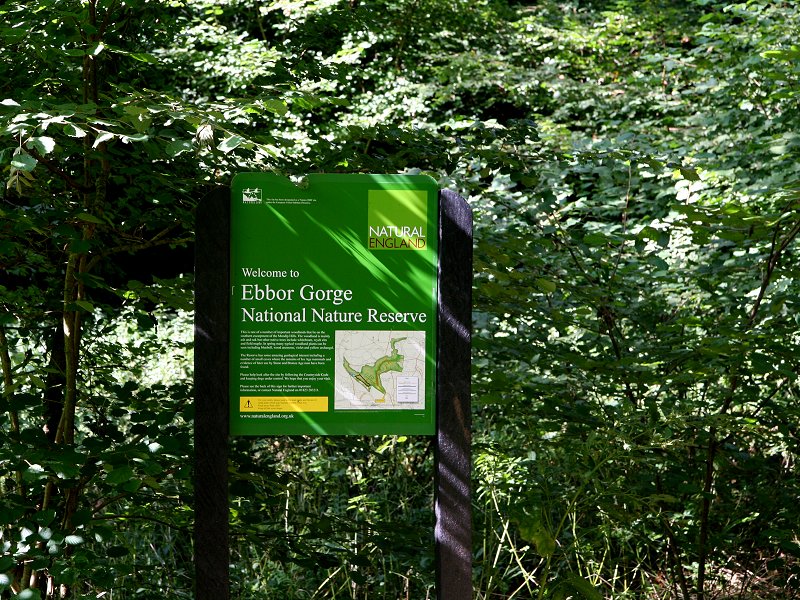
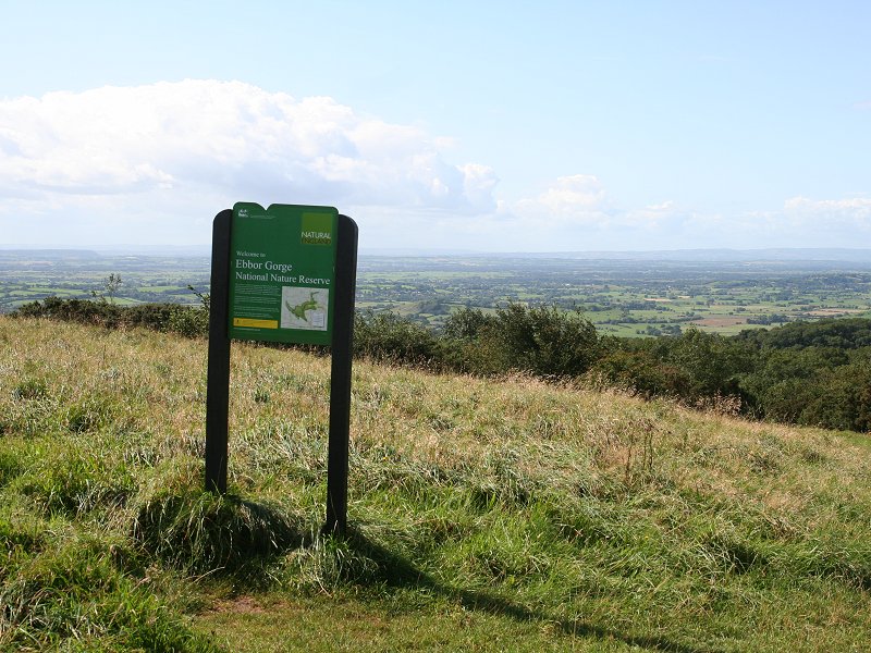
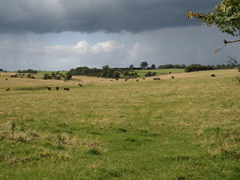
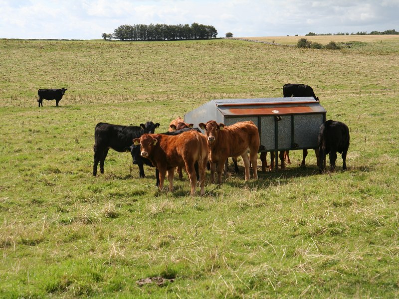
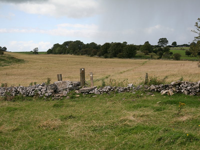
Most of the highlights of this section occur within the first four miles, during which we visit the hill of Arthur's Point, the nationally famous showcaves and museum at Wookey Hole, and the superb limestone scenery of Ebor Gorge. After that the West Mendip Way progresses through standard farming country, wandering down to the foot of the scarp at Draycott before tackling a second uphill section around Batcombe Farm and Bradley Cross. We come ultimately to Cheddar (yes, from where Cheddar cheese is named), and if you've got here in good time you might like to wander along the gorge - one of Britain's finest - and / or visit the Cheddar caves. Buses can whisk you from Cheddar to Wells or to Weston Super Mare.
Map: OS 1:25000 Explorer 141 (Cheddar Gorge & Mendip Hills West)
Click on any thumbnail image in this gallery to display the corresponding full size image. The images are access protected through a cgi script to prevent hotlinking. If you encounter problems while trying to view the full size images, please read the access advice page.
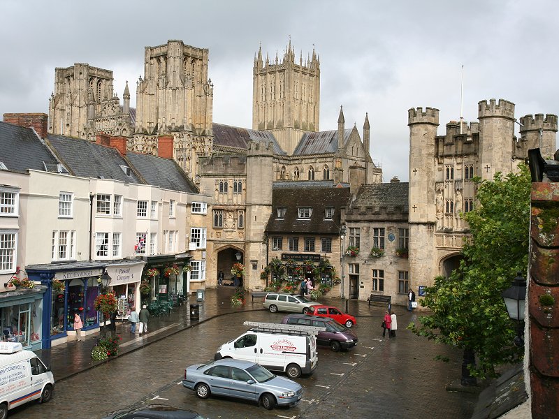
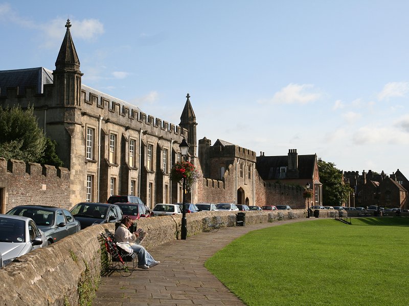
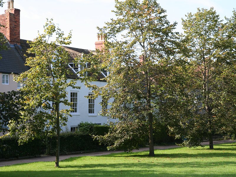
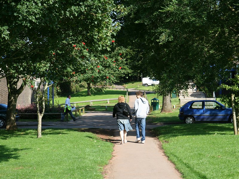
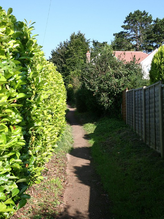
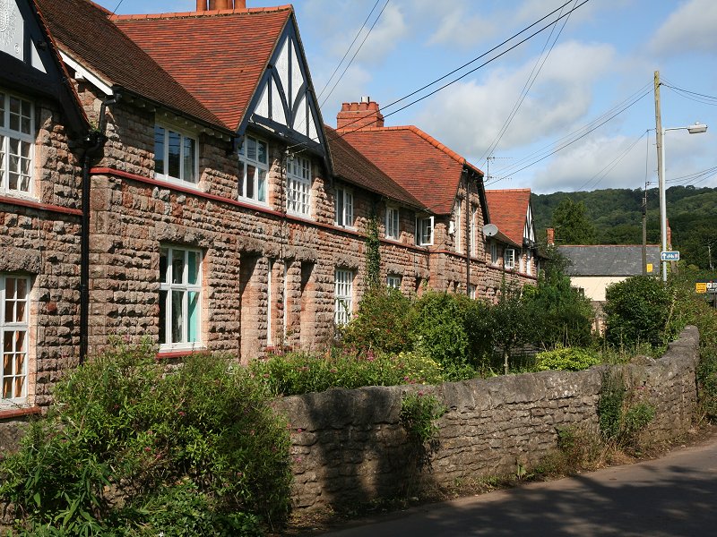
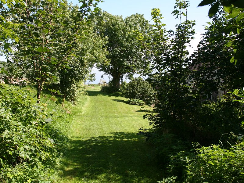
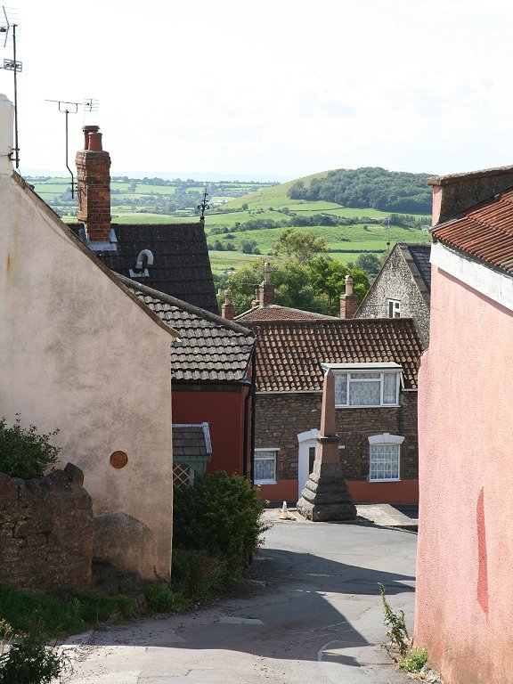
Cathedral Close and
the exit gate onto the Bath road
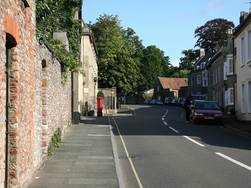
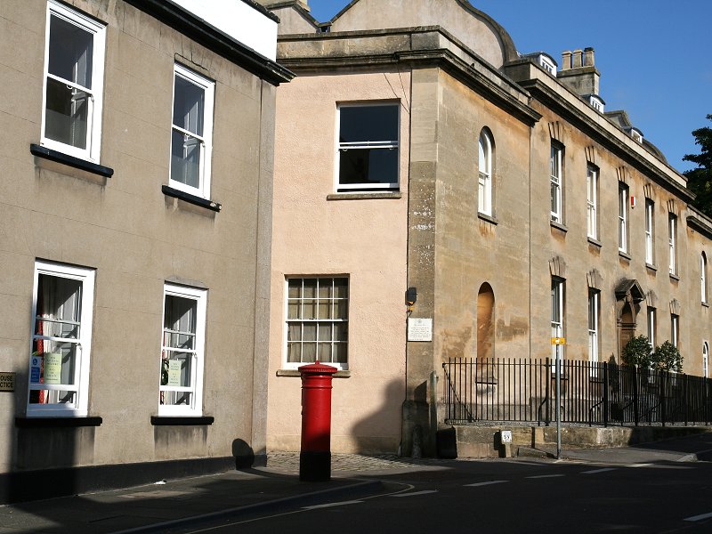

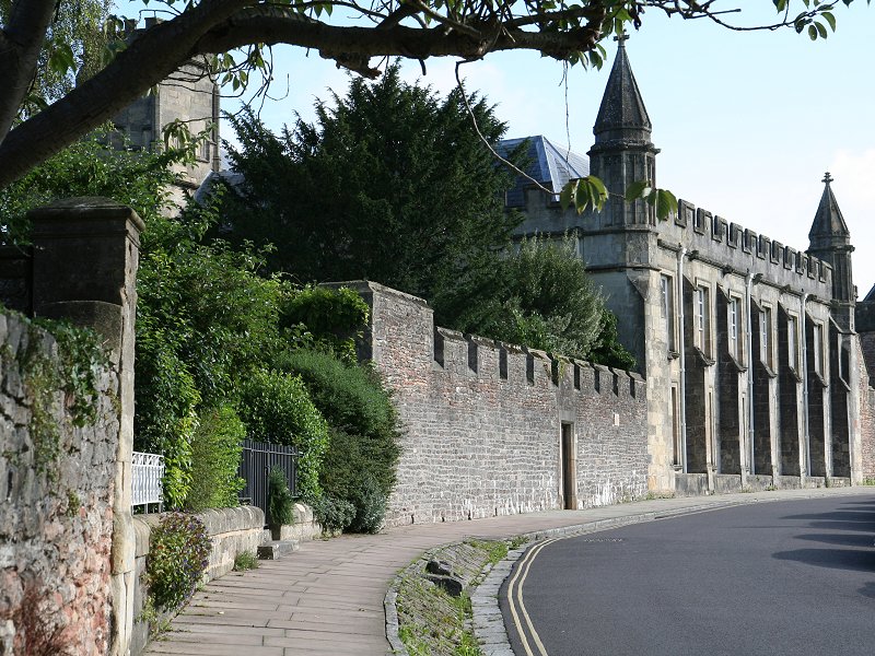
Bath Road and
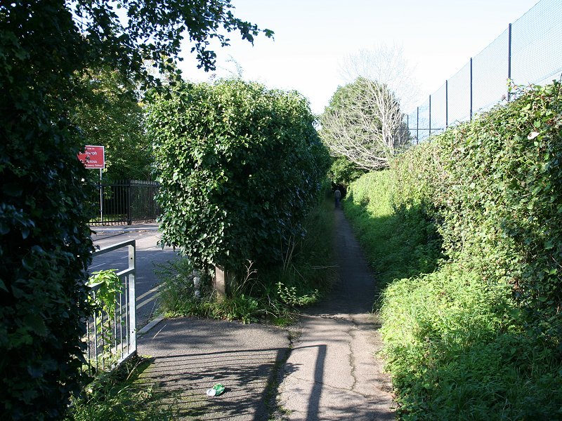
Lovers Walk, the route out of
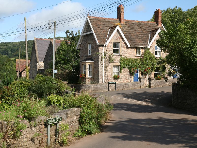
Wells town centre
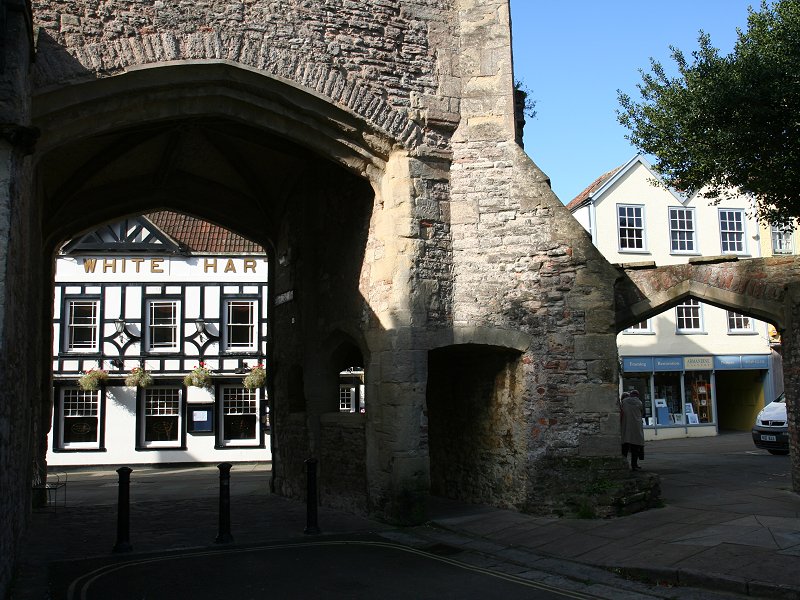
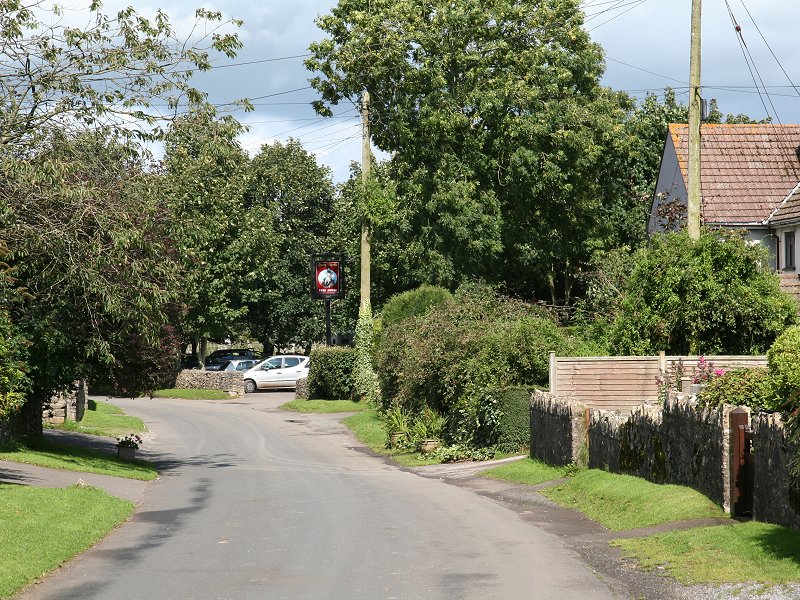
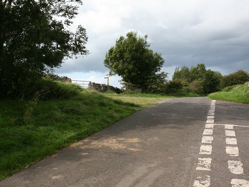
Our first task is to find the commencement of the route from the town centre. We shall be following the West mendip Way, which for this first section is coincident with the Monarch's Way. It's not entirely straightforward. The WMW is obvious on the map but not so easy to access unless you follow the directions closely. Yesterday you reached the market square by coming through the arch from the Bishop's Palace. Today you need to go through the other arch; the one on the left as you look from the square, which gives access to the cathedral close. If you've not already done so, now is the time for a good poke around the catherdral precincts. Don't miss Vicar's Close, which was depicted on yesterday's walk page. Now, you need to exit the cathedral green from the gate at its northwest corner and walk for some 250m along the A39 Bath road, before turning left into Lovers Walk, a narrow walled lane that is signposted as a public footpath.
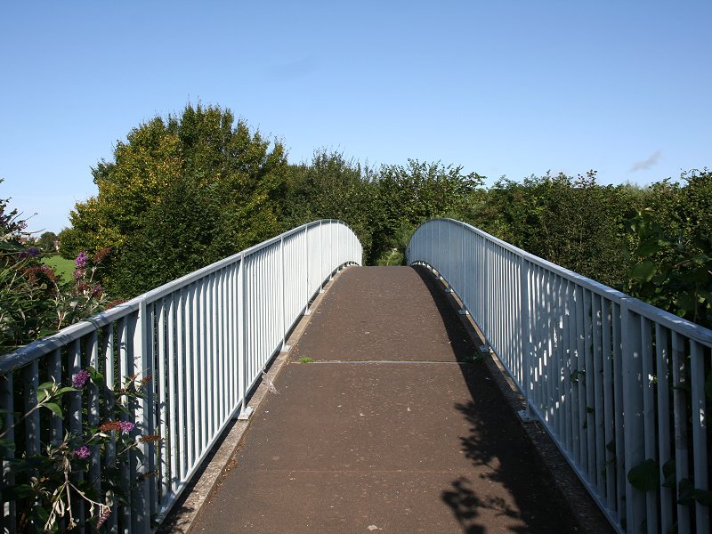
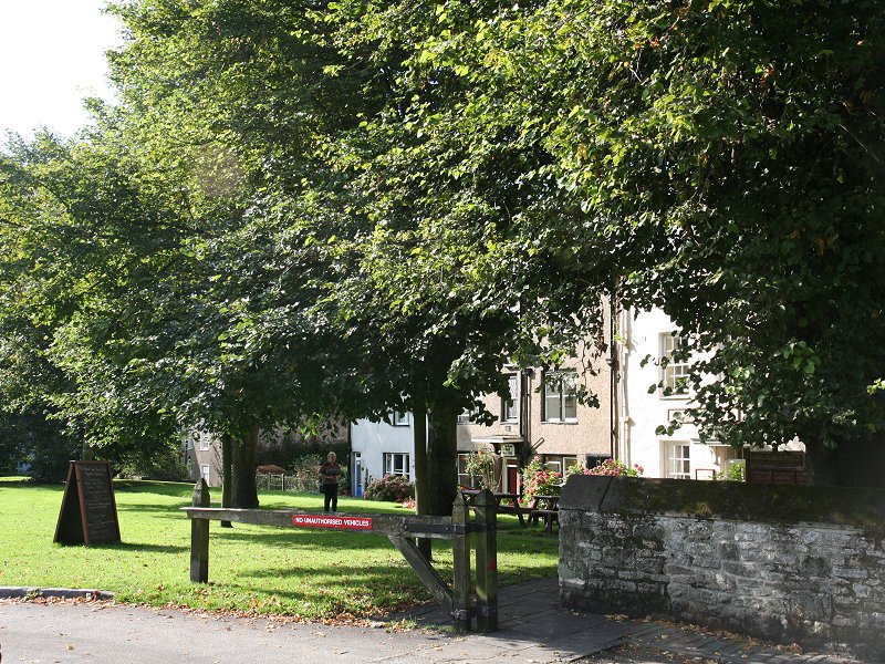
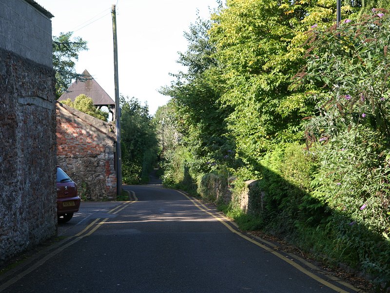
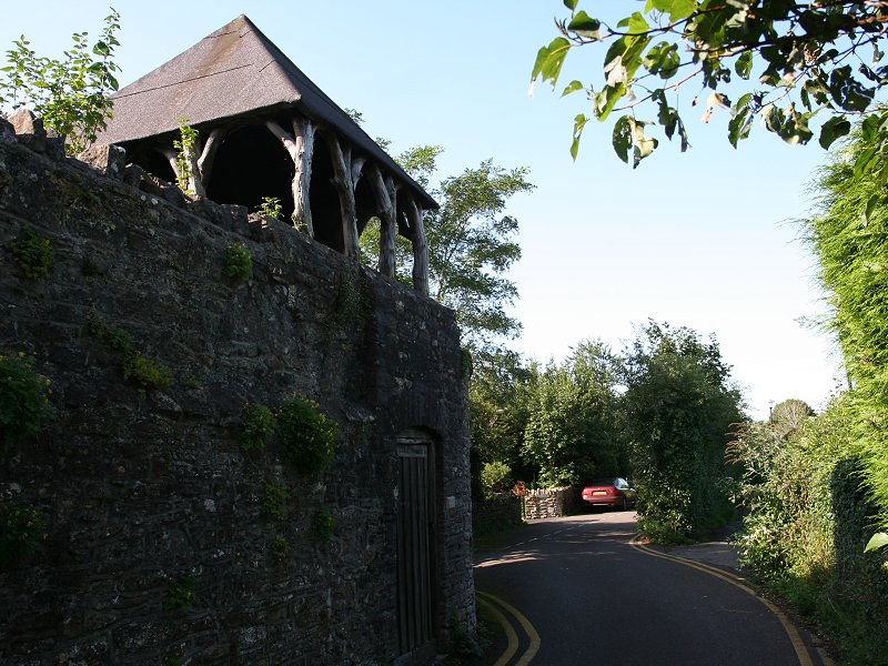
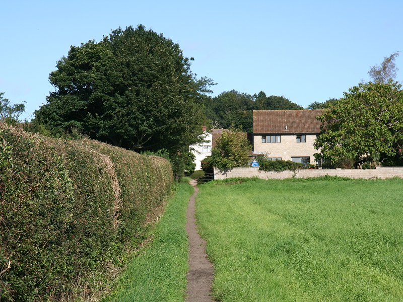
Lovers Walk and the
footbridge
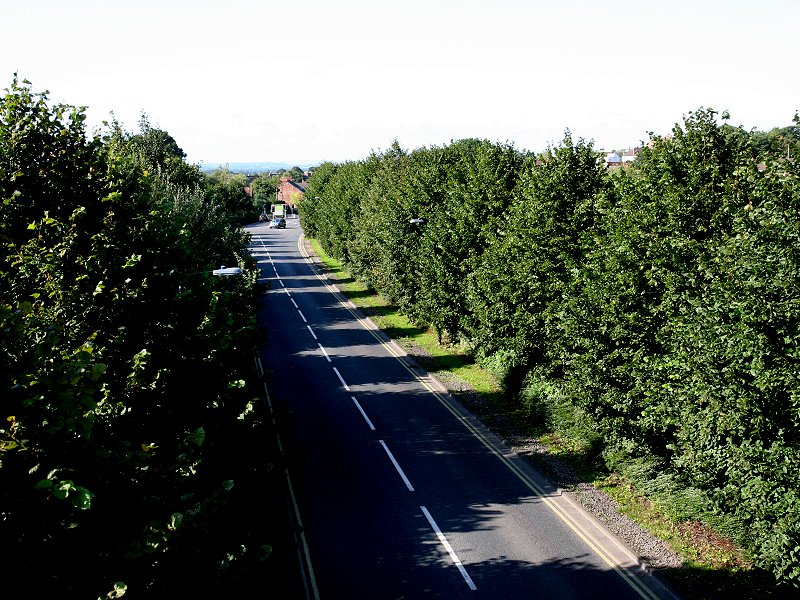
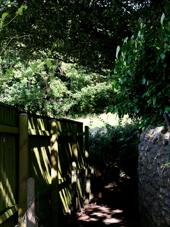
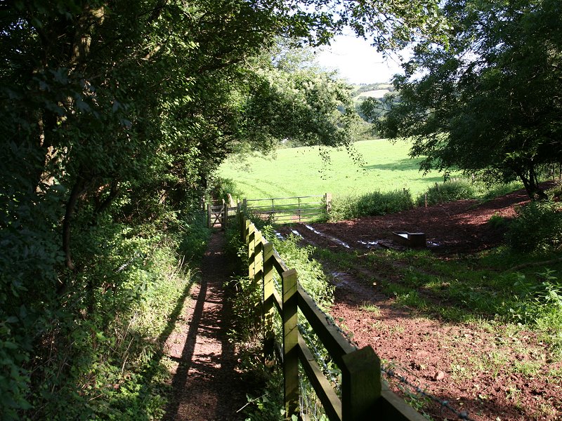
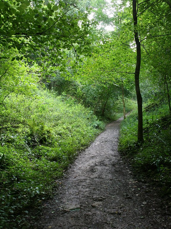
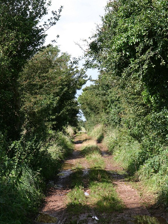
Walk along Lovers Walk, negotiating the dogleg. After some 300 metres turn right to cross a footbridge over the A371 main road, which is sunk into a cutting. Once you're over the footbridge the West Mendip Way crosses the grounds of a school. The path runs between the school buildings at the far side of the grounds.
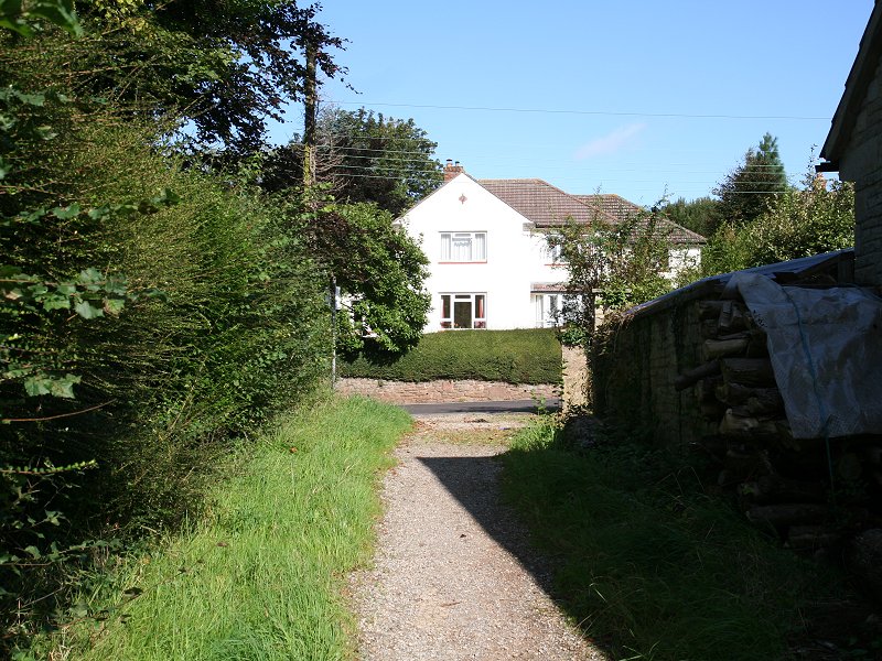


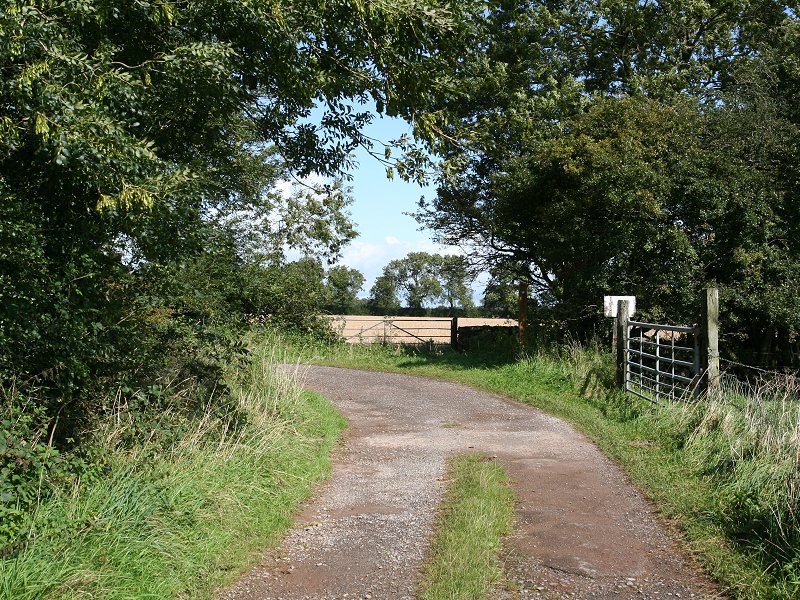
Underwood Quarry road
The Way then
curves right into Lime Kiln Lane,
leaving it at ST538470 for a footpath up the hill to the north. A
glance at the map shows that there are several alternatives. The most
obvious goes straight ahead from the footpath sign and then hugs the
edge of a wood on its right before turning left to approach the hill
from the east. It's also possible to bypass Arthur's Point, should you
wish, by staying on Lime Kiln Lane (which the WMW rejoins further up).
A further alternative bypasses Arthur's Point to the east, taking the
Monarch's Way just to the left of Model Farm to reach Tyning's Lane
beyond, from where you approach Wookey Hole from the east. But I'm
going to describe the official WMW route.
Follow the Underwood Quarry road around
the south side of Milton Hill. Before long it turns to the right and
becomes Lime Kiln Lane. At a prominent junction (grid ref ST538470) leave the lane for a footpath straight
ahead, which then heads steeply uphill while curving around to the
right.

Lime Kiln Lane
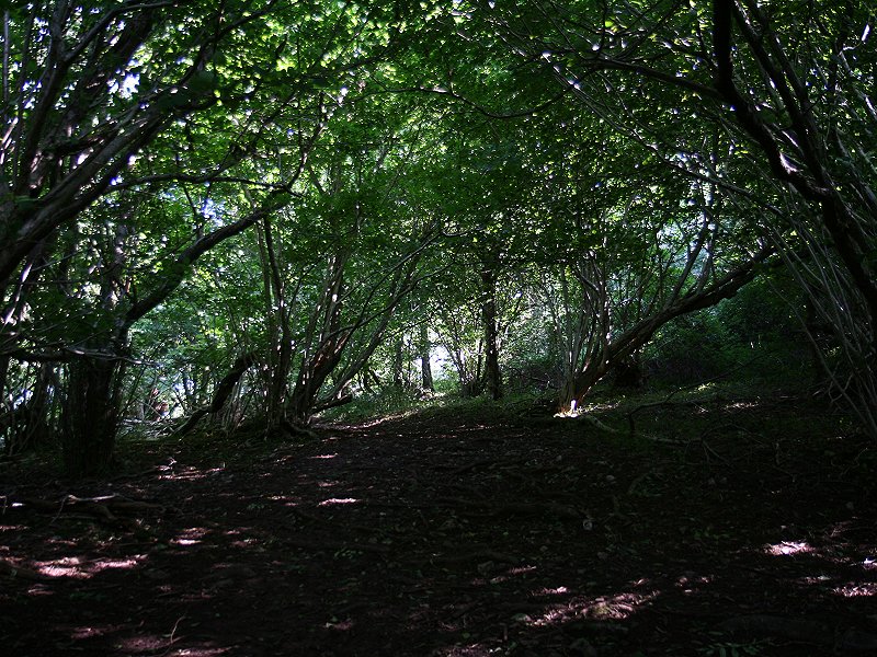
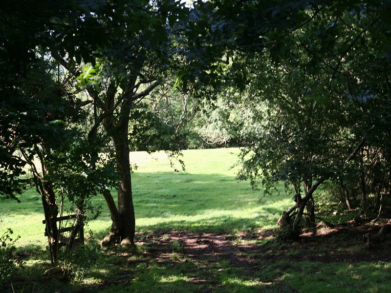
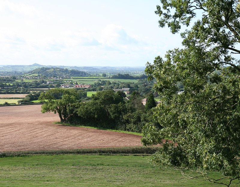
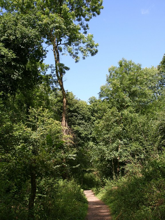
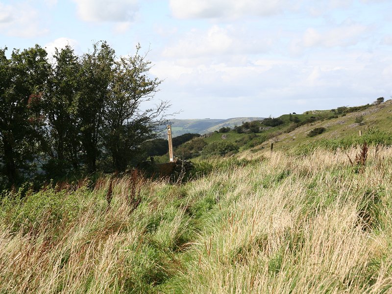
The footpath to Arthur's Point
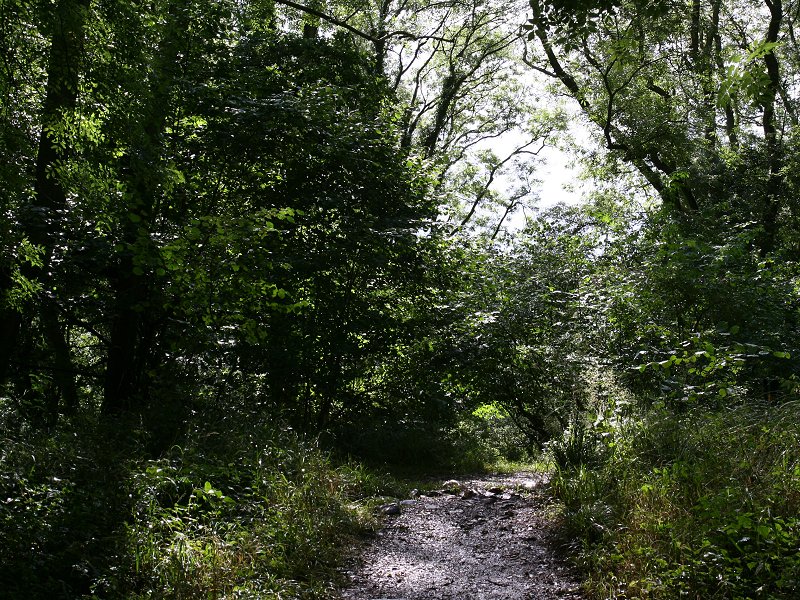
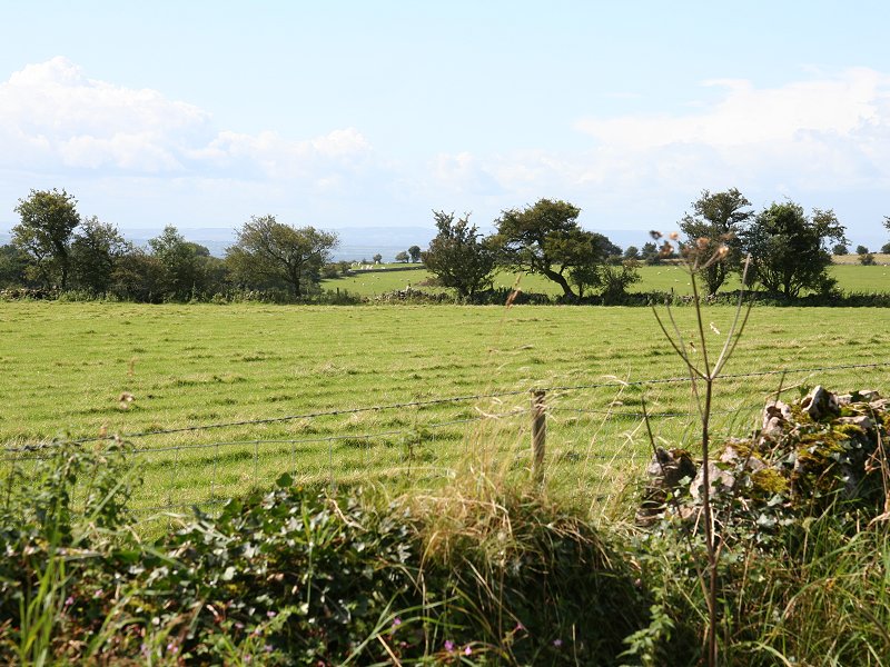
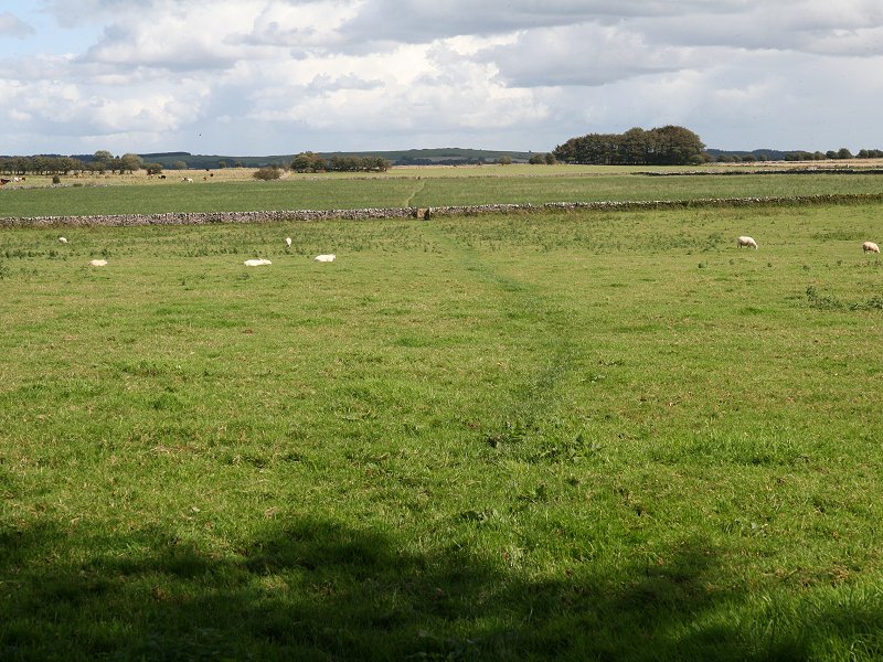
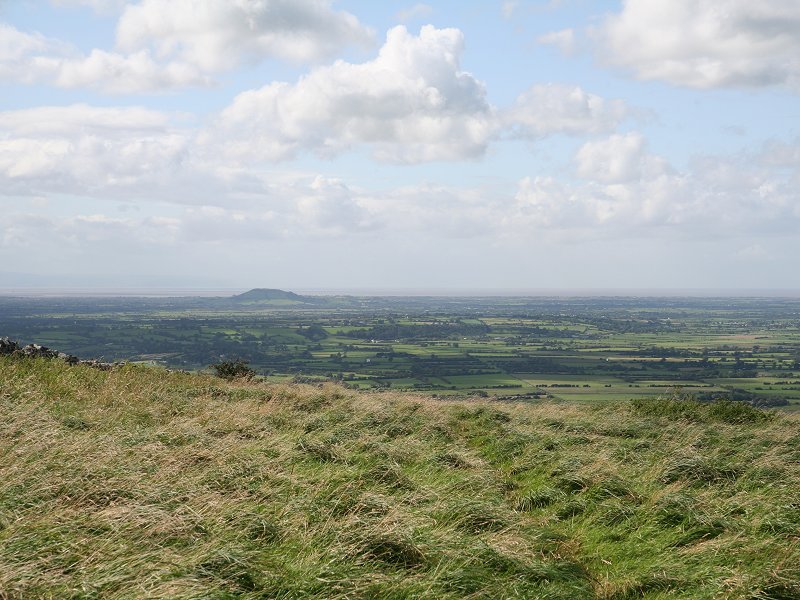
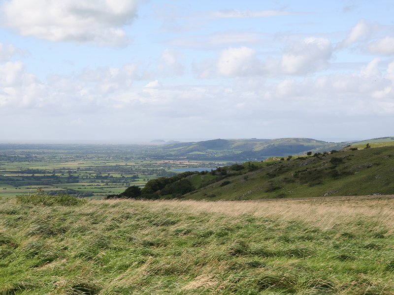
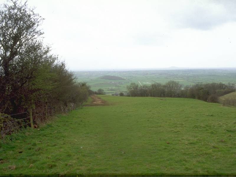
The path enters tree cover for a distance; it seems far longer than the map suggests. Eventually you come out into a clearing between the trees (the Americans would call this a "bald"). You're on Arthur's Point, elevation unknown. The views are a bit restricted due to the nearby trees, but much of Wells should be in view and you will not fail to spot Tor Hill at Glastonbury, five miles to the south. The Somerset Levels are in fact dotted with strange, isolated conical hills - the nearby Hay Hill, southwest of Wells, is a fine example.
The approach to Arthur's Point
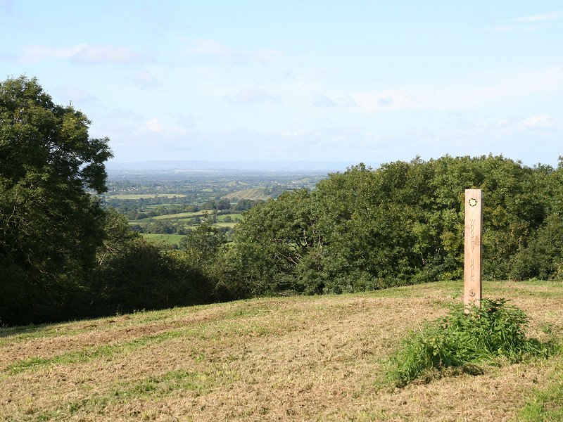
Arthur's Point
Cross the clearing and follow the path
down
the far side of Arthur's Point to reach Lime Kiln Lane at the foot.
This section is surprisingly intricate and, once again, seems much
longer than it appears on the map. Once you reach the lane take the
path running north, down a grassy slope, to the village of Wookey
Hole.
Descending to Lime Kiln Lane and the path to Wookey Hole village
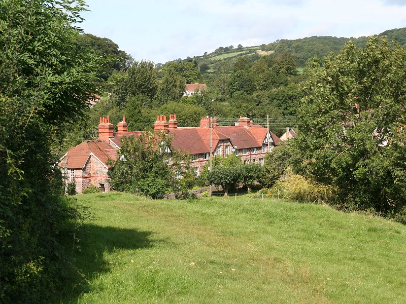
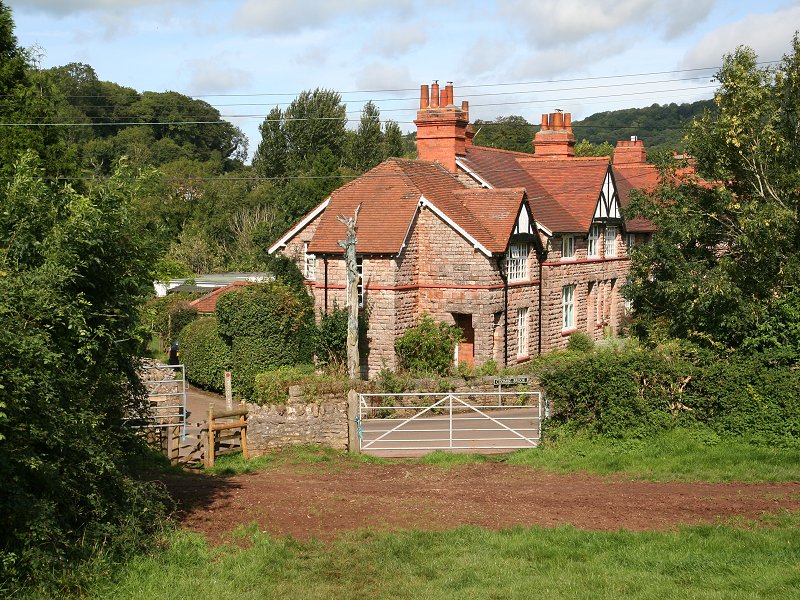
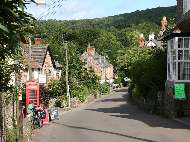
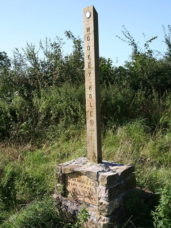
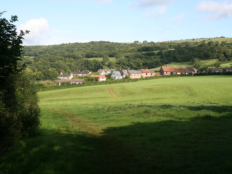
Wookey Hole village
Wookey Hole village is pleasant, though
tiny.
It's dominated, of course, by the major tourist attraction on its
doorstep
- Wookey Hole cave, which is well worth a visit and for which you
should
set aside a couple of hours.
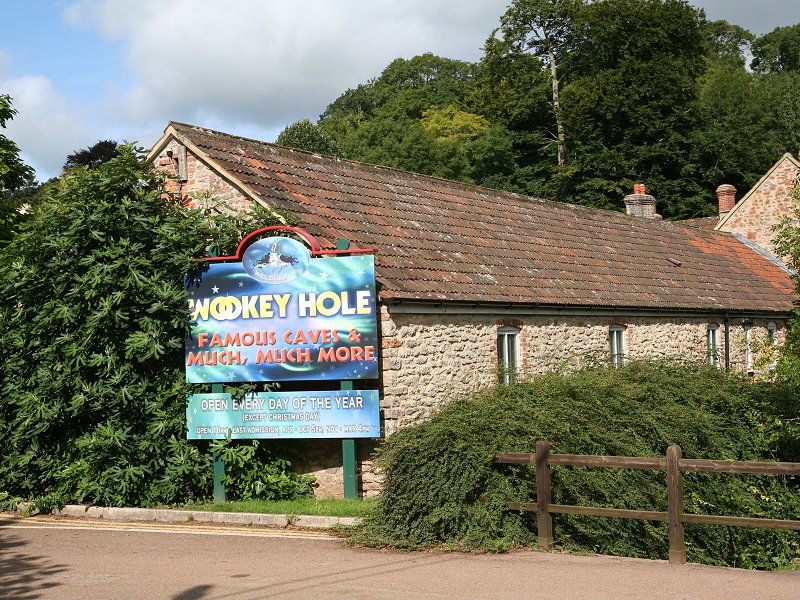
Wookey Hole entrance
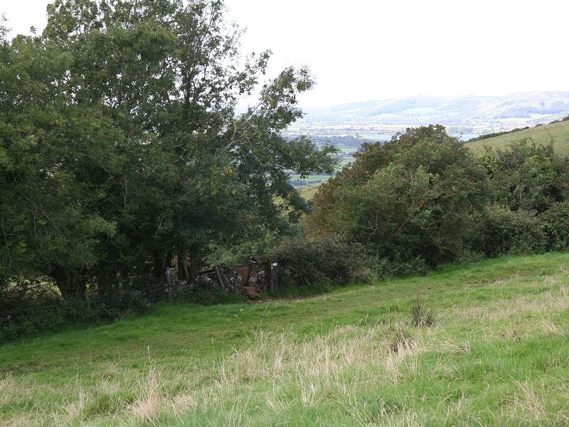
Wookey Hole was originally a natural limestone cave, and there is evidence of early habitation as well as legends of witchcraft and paganism. Explorers began tackling the caves in the 1930s and the system is now known to be one of the most extensive in Britain. Some passages within the section open to the public have been artificially made or enlarged, but a tour of the caves is a fascinating interlude. Remember to buy a ticket at the visitor centre at the car park before walking up the short wooded valley to the cave entrance. The cave exit routes you into a building complex containing a museum of gaming machines, a mirror maze and the Wookey Hole paper mill. Whether or not you visit the caves, you can make use of the cafeteria and toilet block adjacent to the car park.

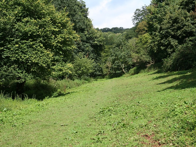
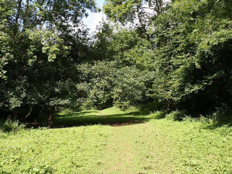
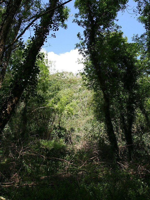
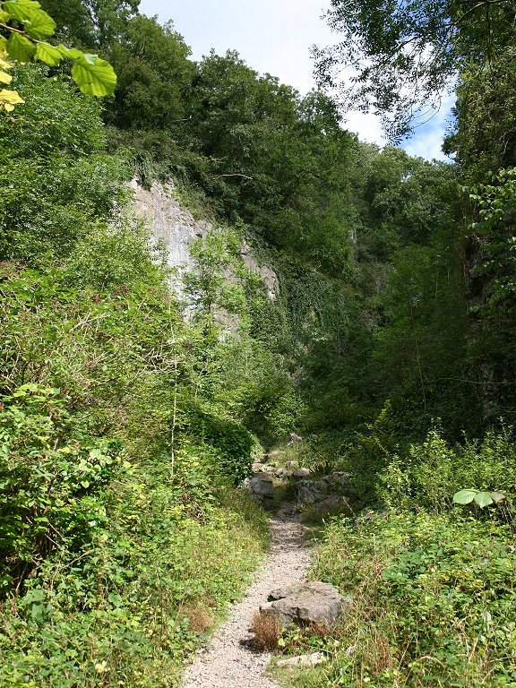
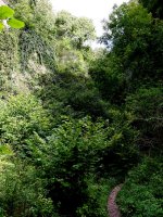
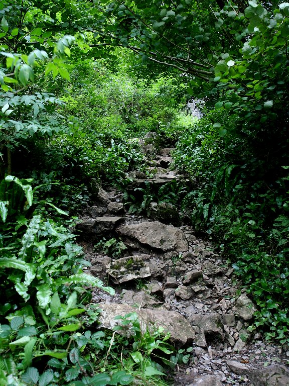
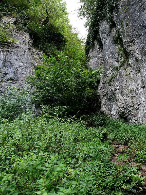
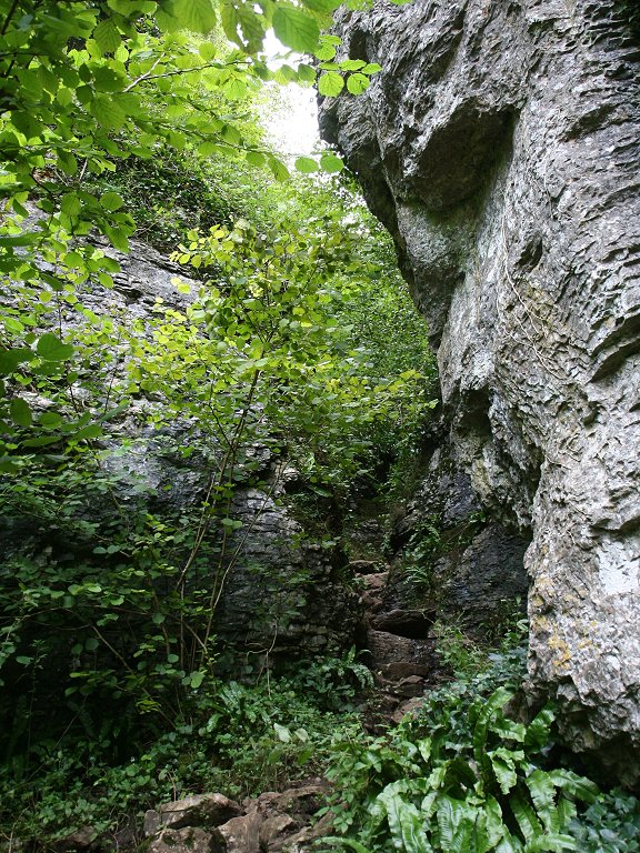
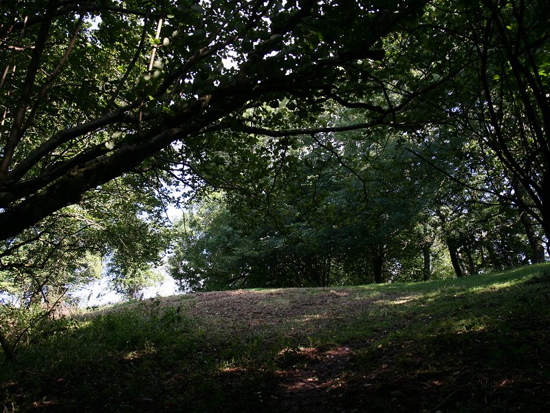
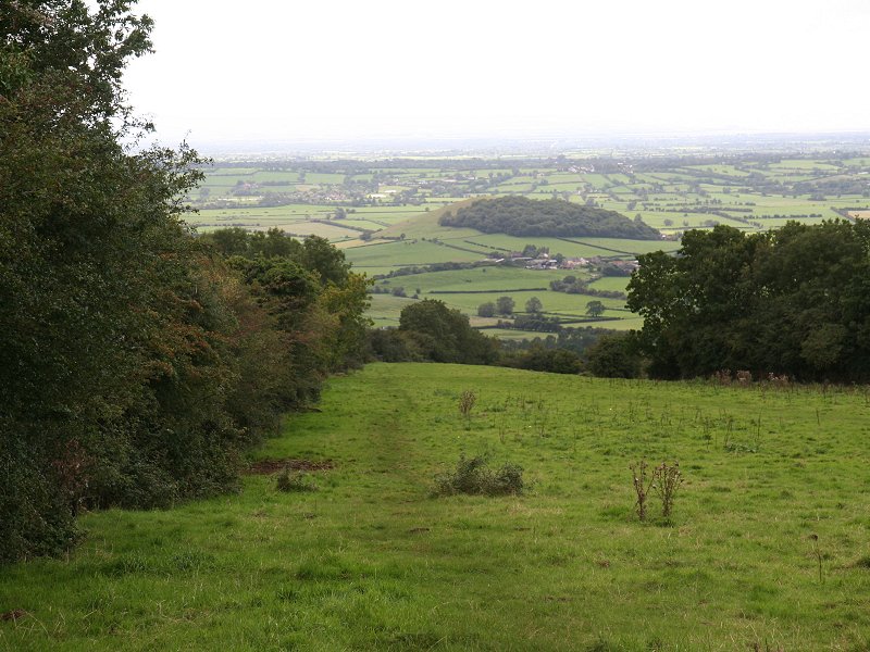
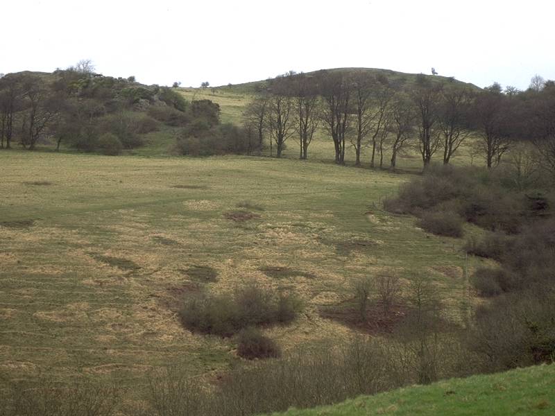
Ebbor Gorge, upper reaches
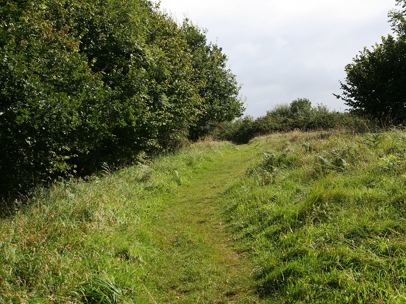
Leaving Ebbor Gorge
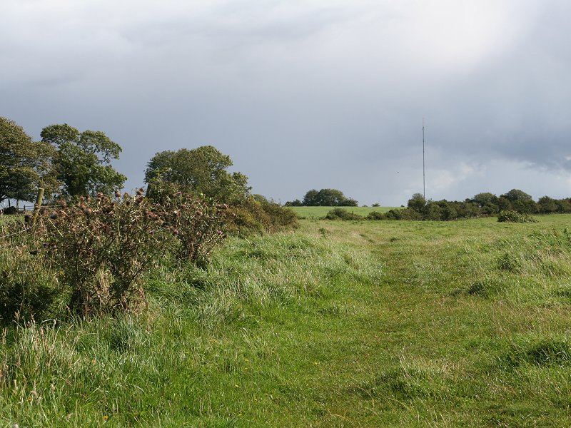
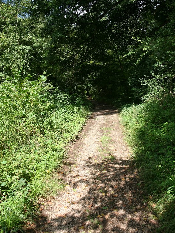
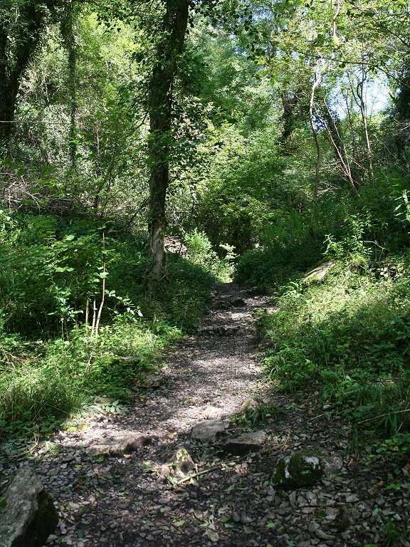
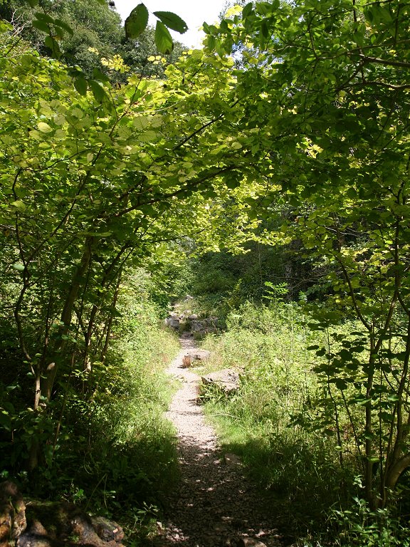
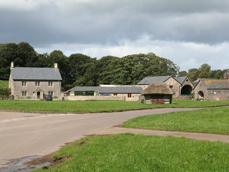
Higher Pitts Farm and Dursdon Drove
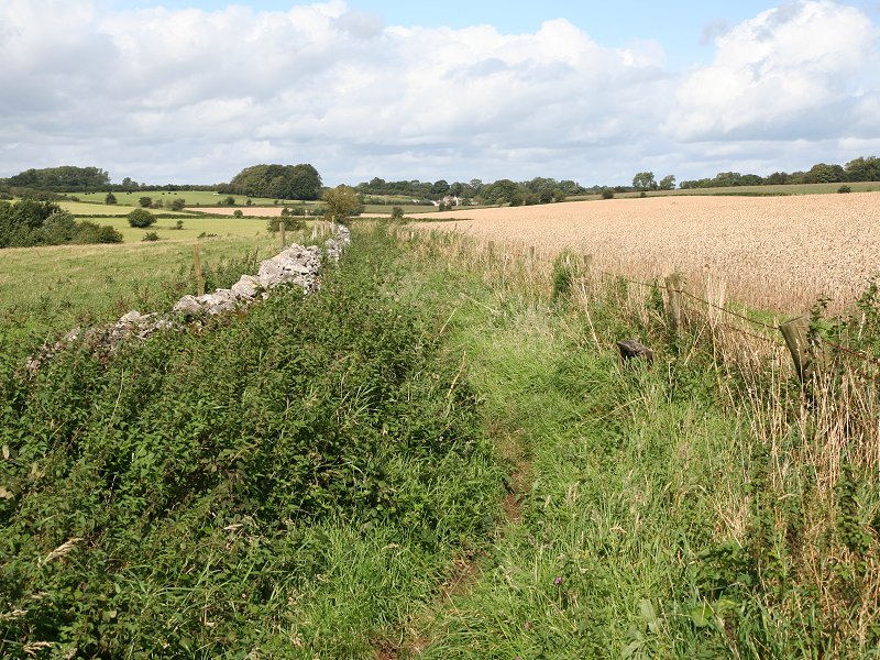
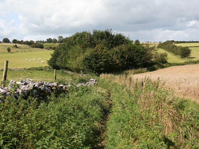
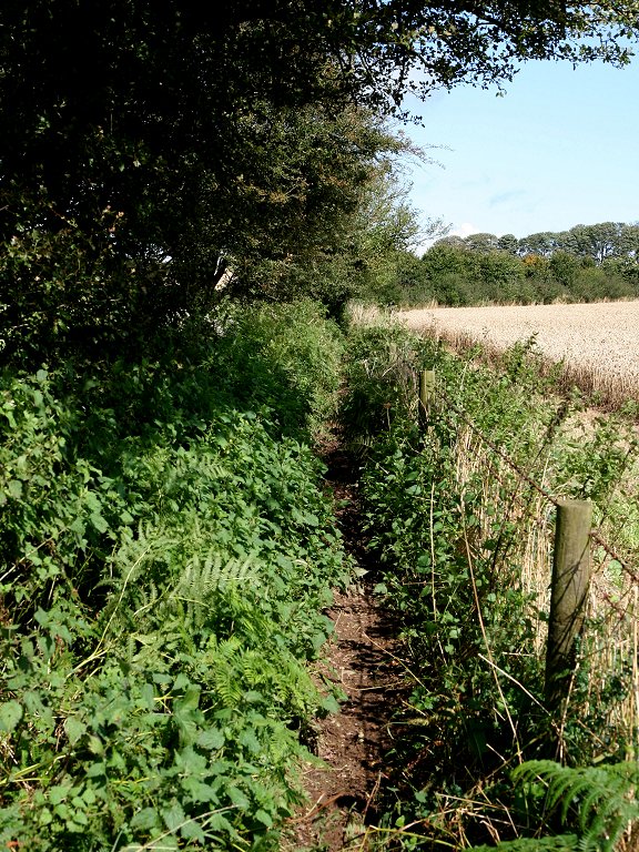
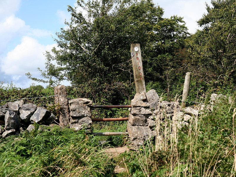
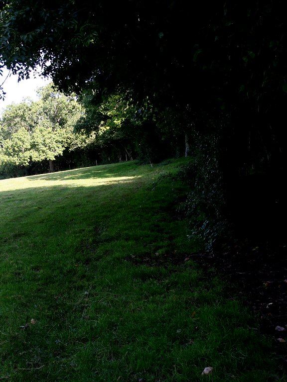
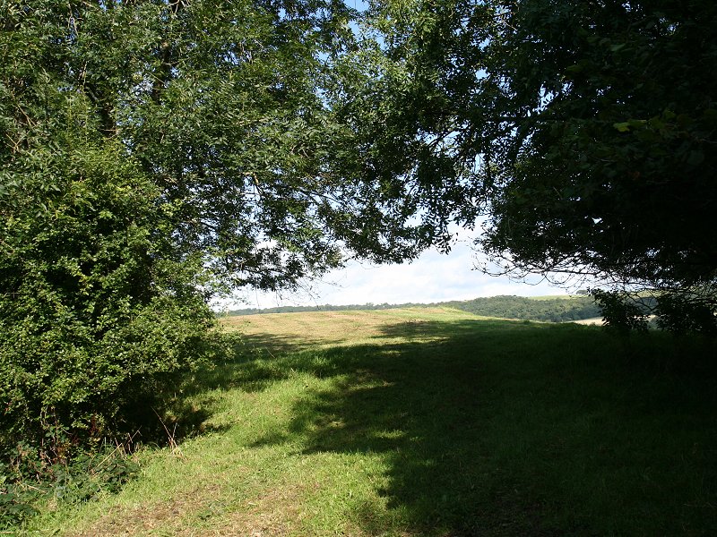
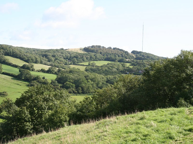
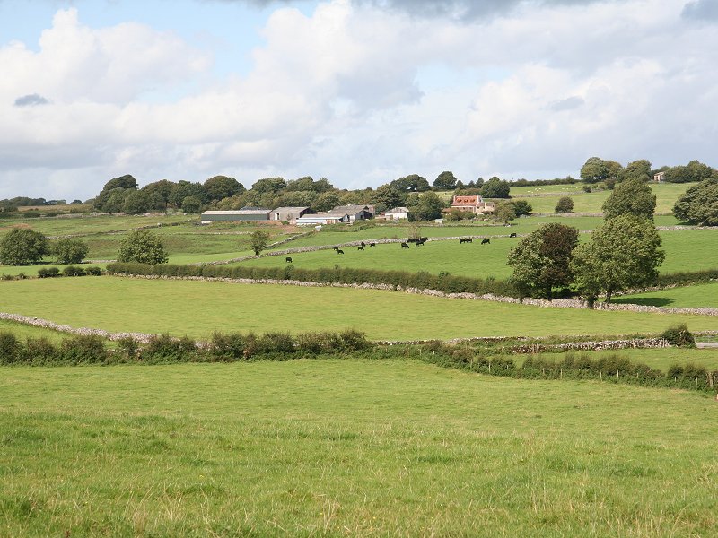
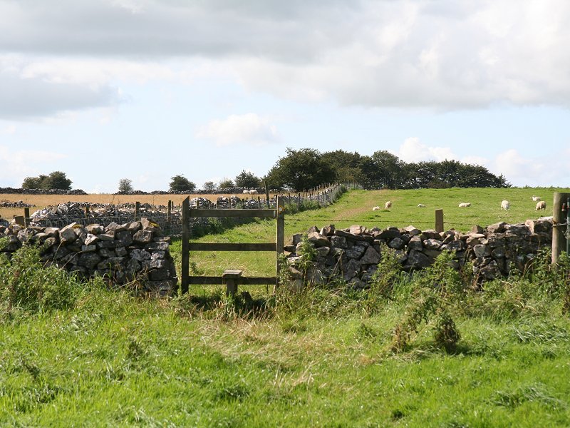
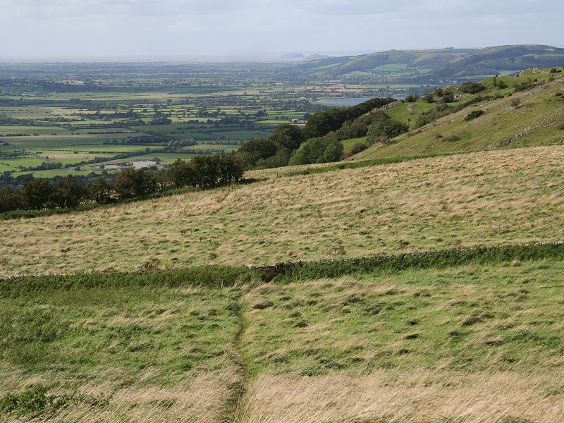
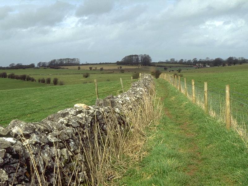
The West Mendip Way south of Priddy
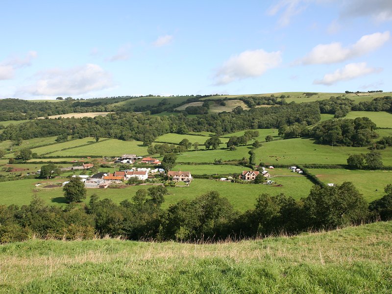
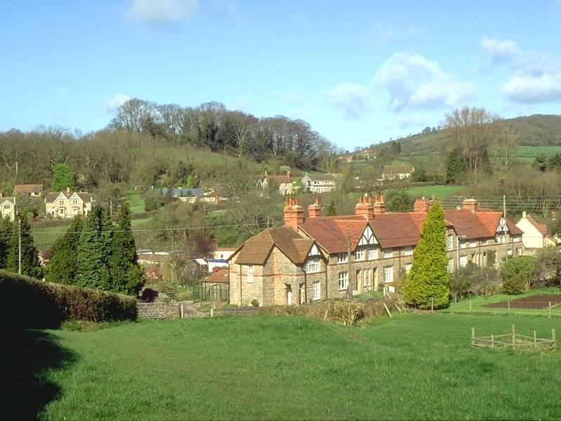
Priddy is a small, scattered village
sitting
atop the Mendip scarp at a general elevation of 240m or about 800ft.
It's
centred on a large triangular green and hosts an annual folk
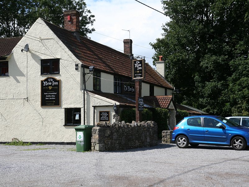
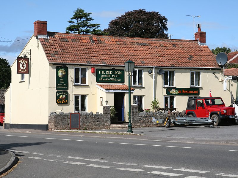
festival each July. There's an inn but no other facilities.
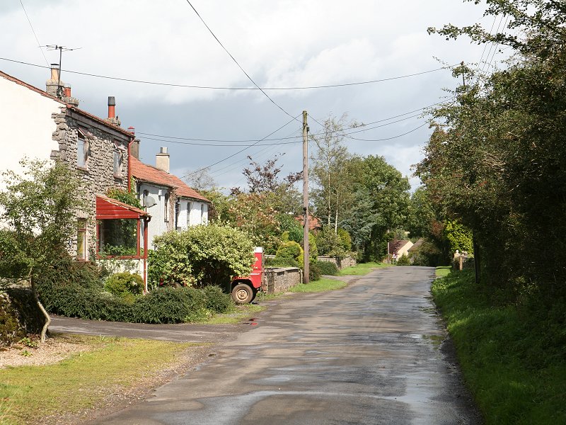
Priddy
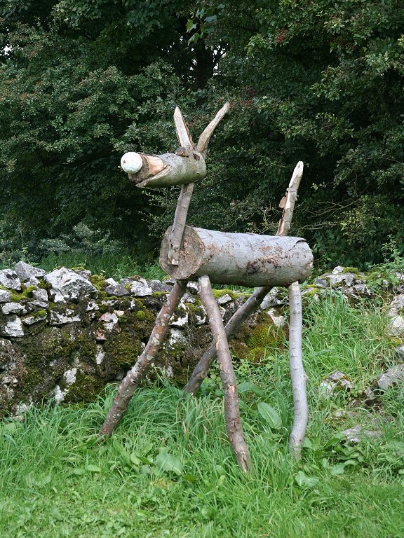
Donkey sculpture!
Take
the
road to the west-northwest. About 500m out of the village, where the
road
bends to the right, hold your direction along a footpath running
diagonally
across a couple of pastures. You emerge onto another unclassified road,
running just south of west. Follow this road to a junction and then, as
before, follow a footpath continuing in the same direction.
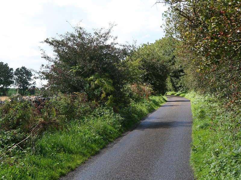
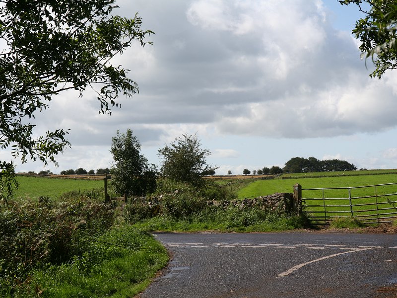
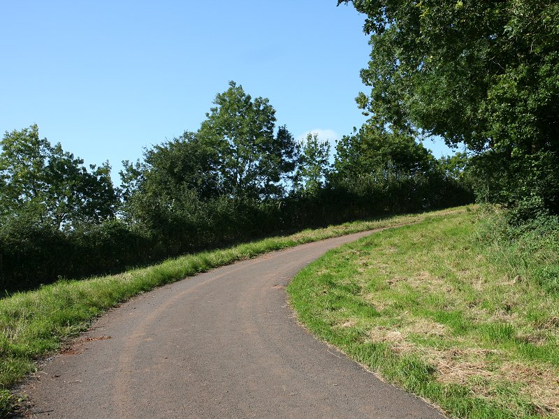
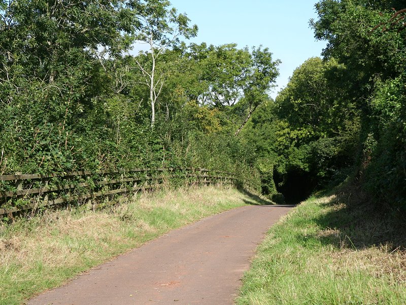
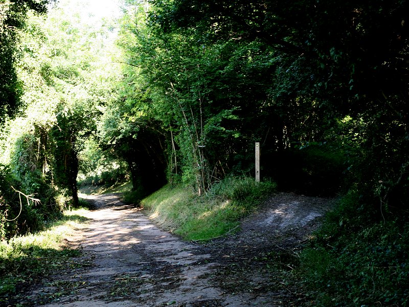
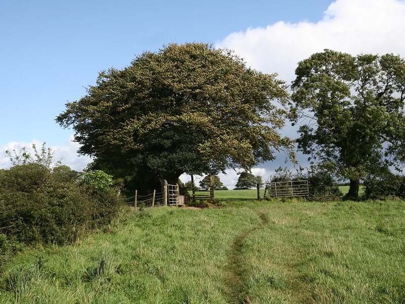
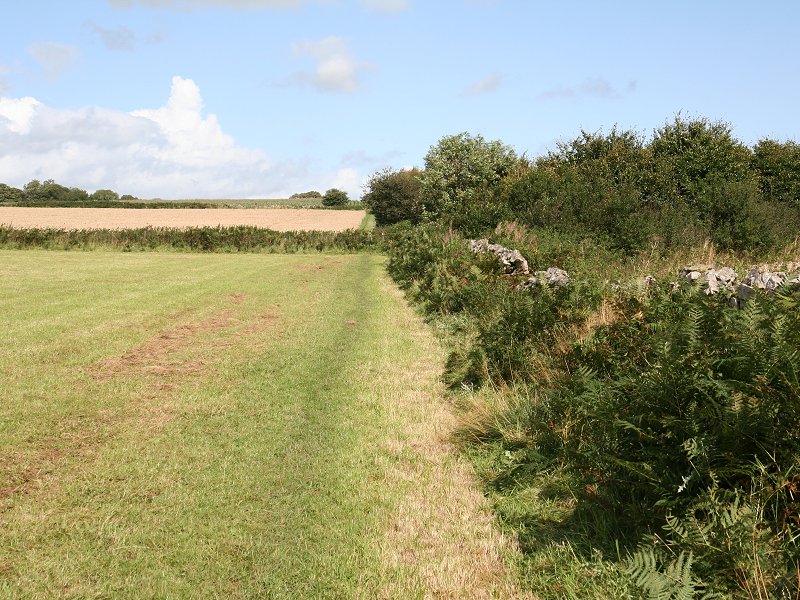
Walk northwest through the village centre. The road forks. the main road going to the left. If you wish to visit the shop at Strawberry Farm (which, incidentally, also serves hot drinks) then stay on the main road to the left. The lane to the right is known as Top Road and provides a pleasant low level alternative into Cheddar if the weather is poor, but the West Mendip Way proper goes off right just past the edge of the village, to Batcombe Farm. A word of warning - it's easy to get lost just beyond Batcombe Farm, the line of the path being poorly marked both on the map and the ground. The most confusing point is a small tree-fringed pond just beyond the farm. You need to find the point where the footpath crosses the wall to your left, after the farm buildings but before the pond. It's easy to miss. Keeping the pond to your right begin to make your way uphill.
The WMW now runs up a shallow grassy coombe, marked as Batcombe Hollow on the map. The WMW doglegs right and left to run up the spur of land to the right, though you may find a track keeping to the hollow. The route runs up out of the hollow onto the shallower slopes towards the top of the Mendip scarp, turning half left to approach the northwest corner of the pasture, then turning left again to run along the north side of a series of walls and fences.
The West mendip Way northwest of Batcombe Hollow
The last section of this path runs into a little hollow fringed by a ribbon of trees. If it's been raining recently then it could well be sloppy here. Once you come out into the open again the path turns half left and begins to run downhill towards Bradley Cross.
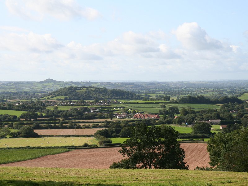
Scenery at Bradley Cross
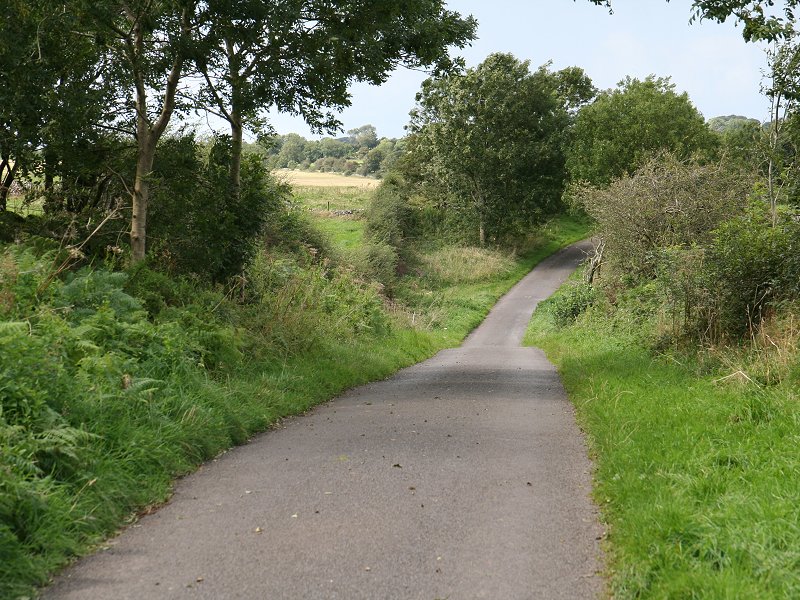
Bradley Cross is just a scattering of cottages strung along a minor road, the continuation of Top Lane from Draycott. From Bradley Cross another footpath climbs the slopes to the north and joins and east-west track from where there are three alternative routes down into Cheddar, but it's far more straightforward to follow the lane down into the village direct.
![]() Cheddar
website
Cheddar
website
![]() Cheddar
Caves and Gorge
Cheddar
Caves and Gorge
| Street to Wells | Back to Somerset Way index | Cheddar to
Temple Cloud |
This page last updated 19th March 2011
![]()