| Porlock to Minehead | Back to Somerset Way index | Dunster to Bicknoller |
| Porlock to Minehead | Back to Somerset Way index | Dunster to Bicknoller |
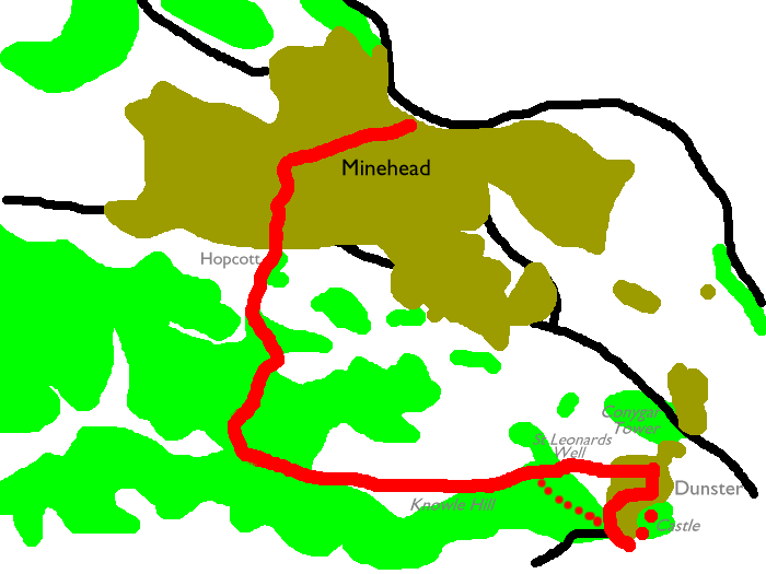
Our route between Minehead and Dunster takes a leisurely path over an outlying ridge of Exmoor in preference to the rather dull coast path or the even duller road walk, both of which could be considered as alternatives for the return trip if you're staying in Minehead.
Map: 1:25000 OS Outdoor Leisure 9 (Exmoor)
Click
on
any thumbnail image in this gallery to display the corresponding full
size
image. The images are access protected through a cgi script to prevent
hotlinking. If you encounter problems while trying to view the full
size
images, please read the access advice
page.
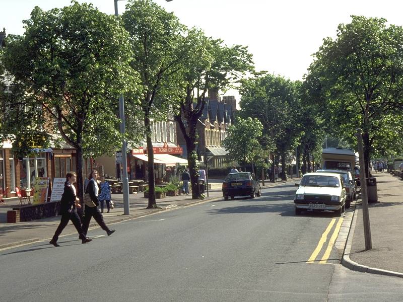
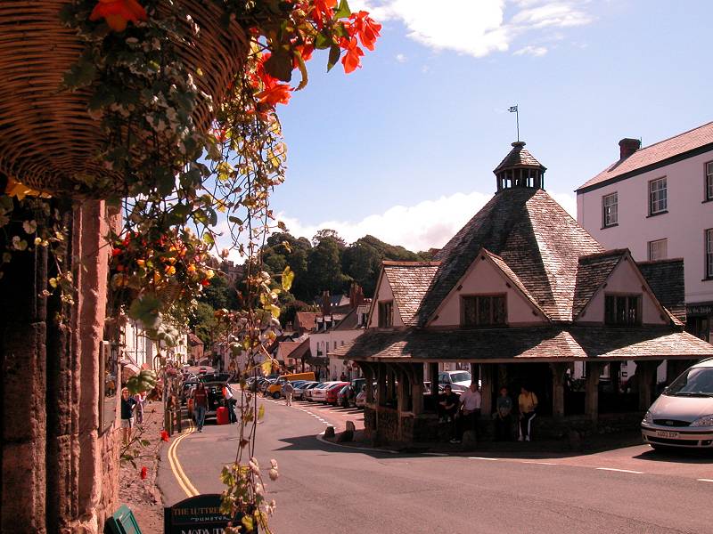
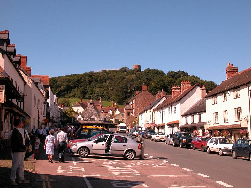
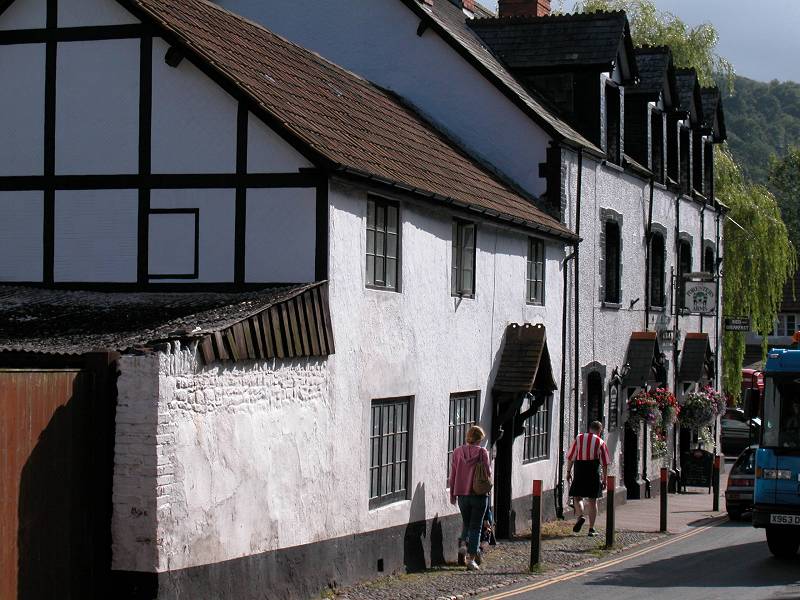
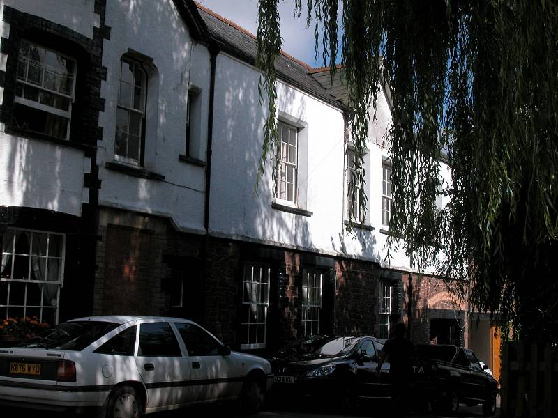
Minehead town centre; Minehead high street
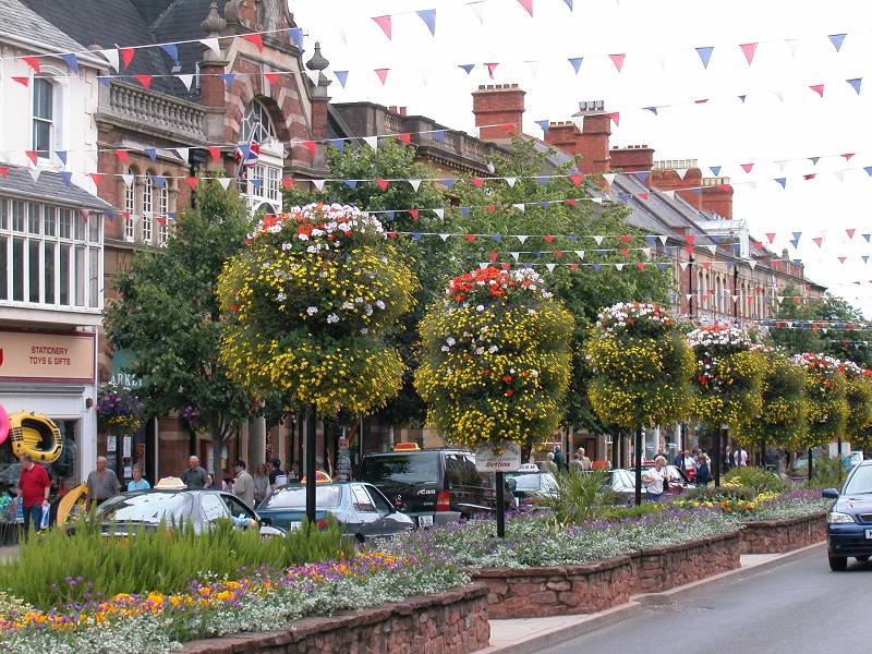
Minehead high street
![]() First
Taunton Service 28, Minehead
- Dunster - Bicknoller - Taunton
(Mon-Sat)
First
Taunton Service 28, Minehead
- Dunster - Bicknoller - Taunton
(Mon-Sat)
![]() First
Taunton Service 928, Minehead
- Dunster - Bicknoller - Taunton
(Sun / Bank Holidays)
First
Taunton Service 928, Minehead
- Dunster - Bicknoller - Taunton
(Sun / Bank Holidays)
![]() First
Devon Service 398, Tiverton
- Dulverton - Exford - Dunster - Minehead (Mon
- Sat)
First
Devon Service 398, Tiverton
- Dulverton - Exford - Dunster - Minehead (Mon
- Sat)
![]() First
Barnstaple Service 398, Ilfracombe
- Lynton - Porlock - Minehead
First
Barnstaple Service 398, Ilfracombe
- Lynton - Porlock - Minehead
![]() First
Bridgewater Service 911/915/927, Minehead
- Watchet - Bridgewater - Burnham-on-Sea (Suns)
First
Bridgewater Service 911/915/927, Minehead
- Watchet - Bridgewater - Burnham-on-Sea (Suns)
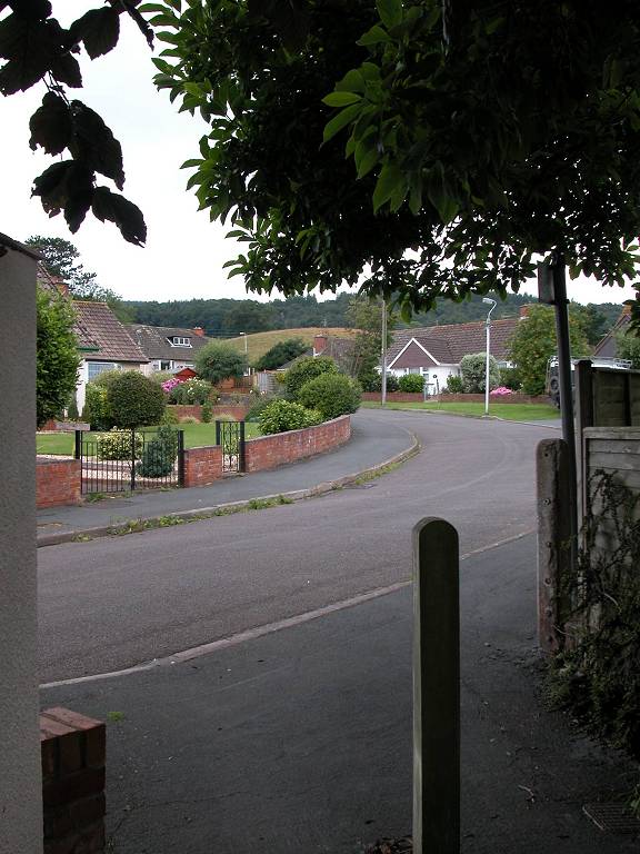
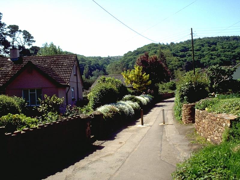
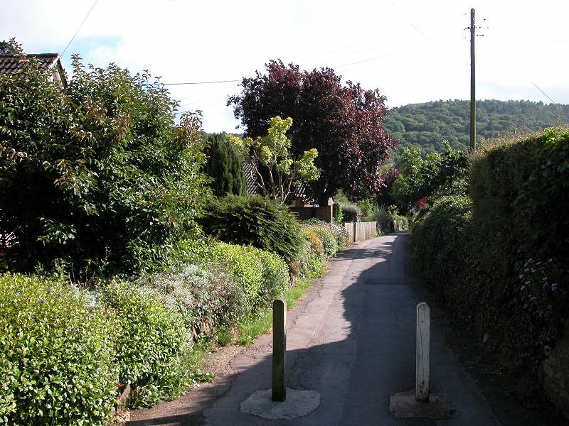
The route of the Somerset Way begins at the northeast end of Minehead's main street, the seafront end, just outside the terminus of the Somerset steam railway. Go along the main street initially, all the way to the main crossroads and the A39. There's a little square here - go across, and find the alley between the bank and the pub. At the end of this alley is Bampton St - walk along here as far as Poundfield Road. Turn left into this road. About half way down on the right is a little footpath between houses, Hopcott Path, marked by a "No Cycling" sign. Follow this to its far end in a residential crescent. At the end of the crescent, across the main road, is Lower Hopcott.
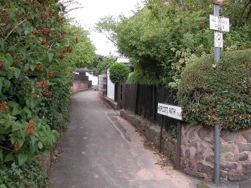
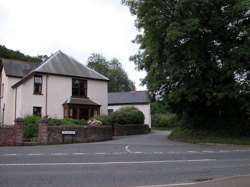
The route through Minehead's suburban streets to Hopcott
Hopcott track
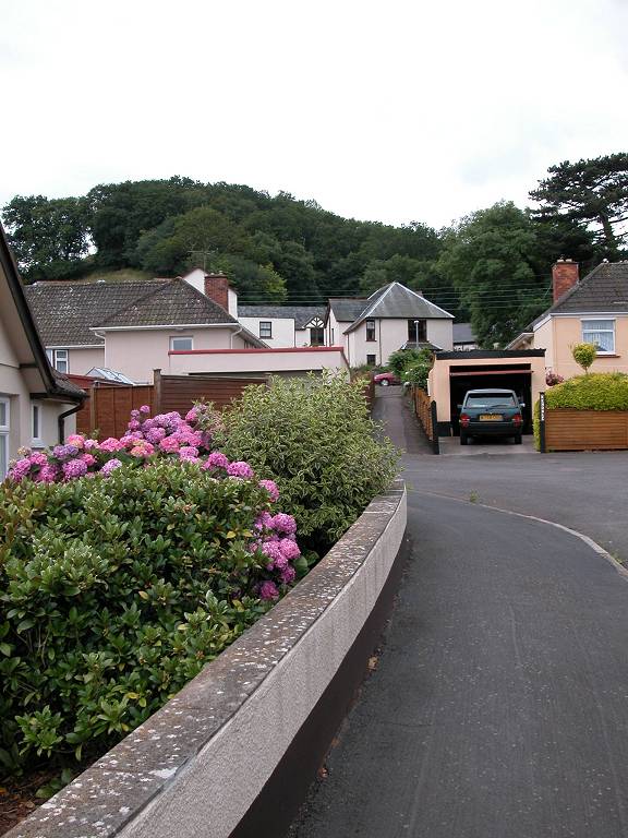
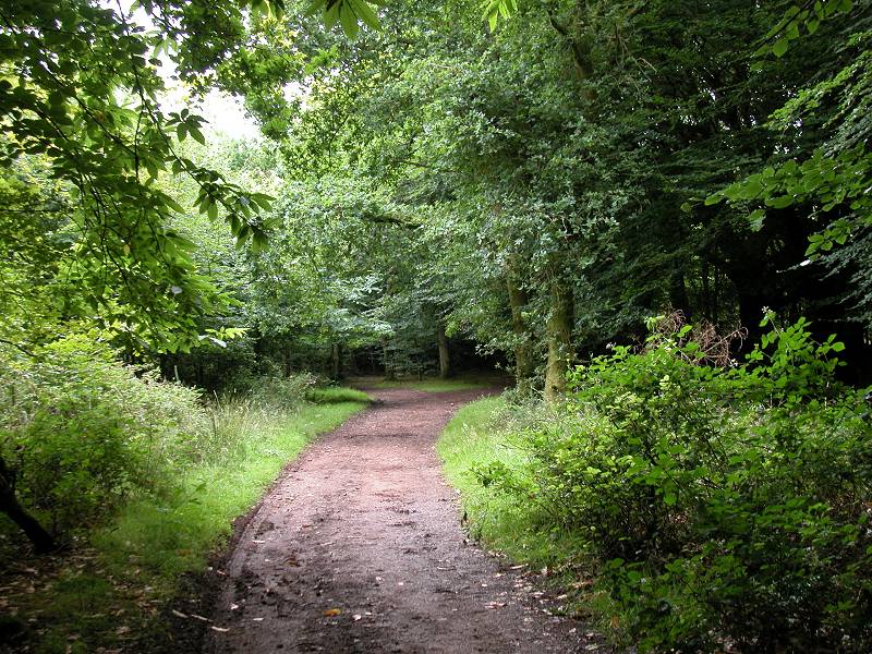
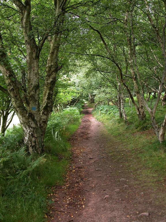
The route is now very simple - Cross the road and follow the side road ahead of you, past both Lower Hopcott and Higher Hopcott. The road end at a car park. Continue into the woods, along a forest track, climbing gradually.
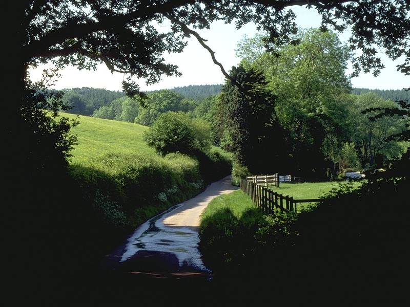
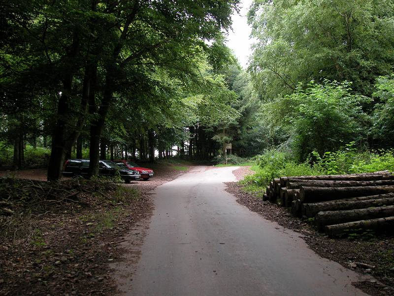
The Hopcott track
path junction
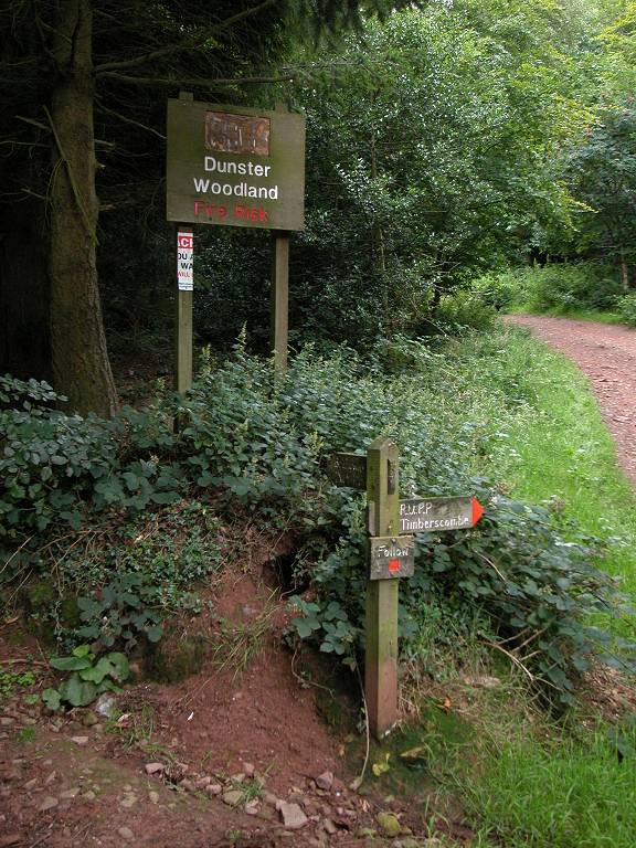
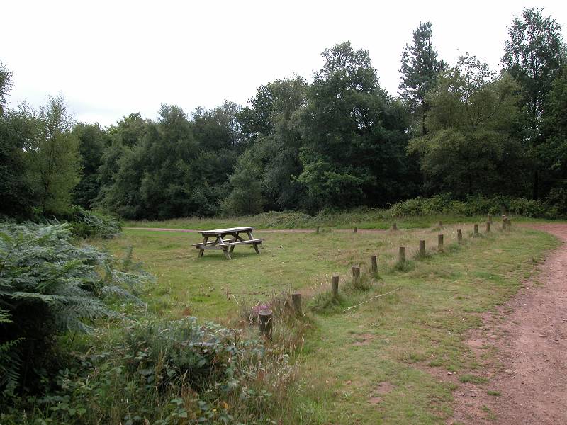
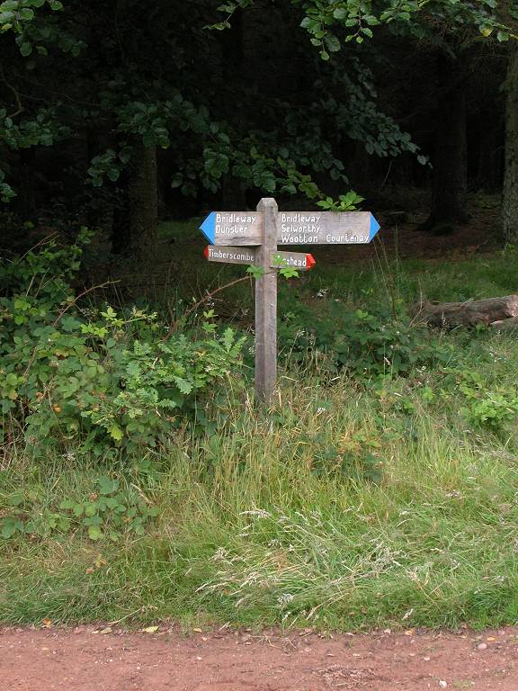
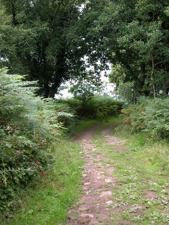
There is one major path junction, at a clearing; about 600m south of Higher Hopcott the correct path goes half right, tending south-southeast. Thence continue through the wood, still climbing, for a further 700m to gain the main ridge path, a wide forest ride crossing your track east-west. There is a clearing and a picnic table here.
reaching the main ridge path
path junction sign
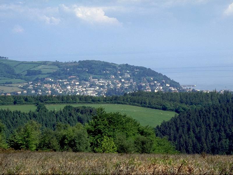
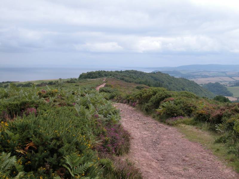
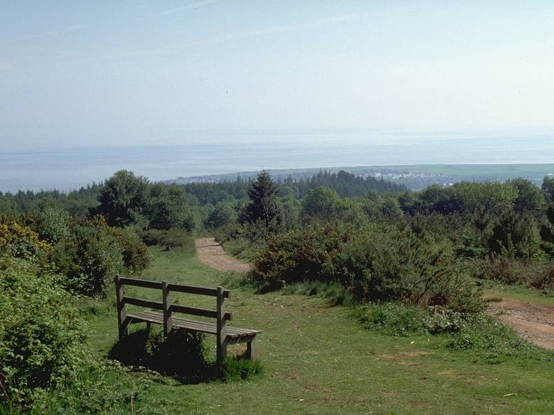
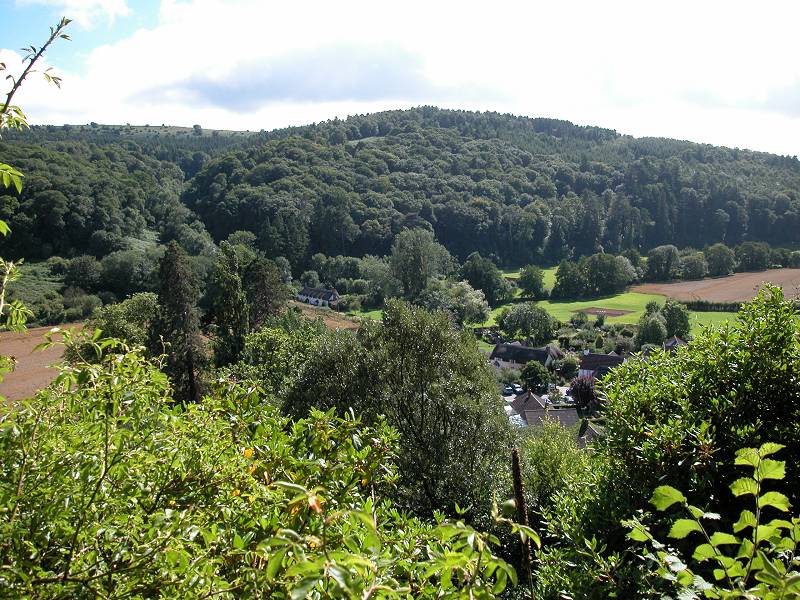
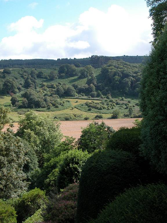
ridge track and a view of Minehead
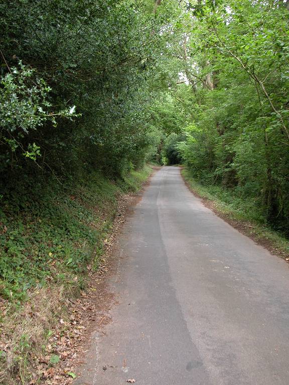
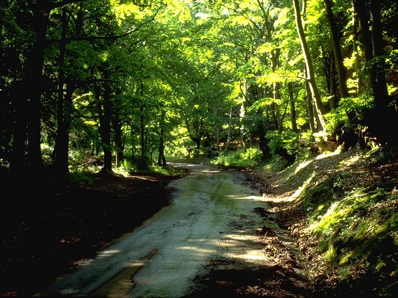
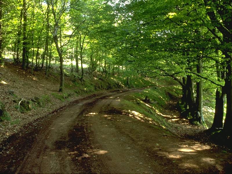
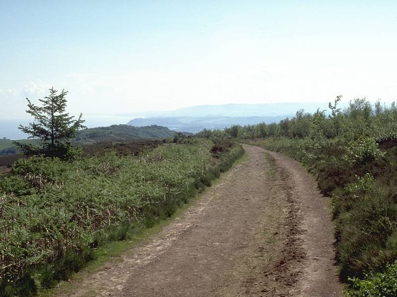
Turn left onto the main track, which heads generally east for some 3km and runs almost directly to Dunster. Initially, an old stone wall runs through the trees to your right. You're on Knowle Hill, an offshoot of Exmoor, and the heathland scenery is typical.
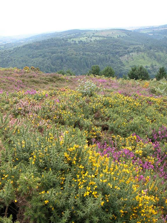
gorse by the path
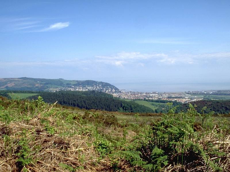
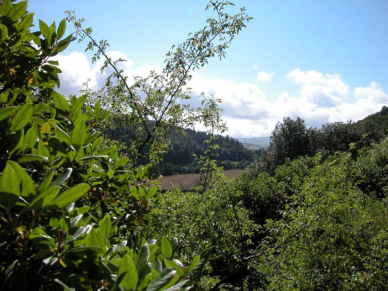
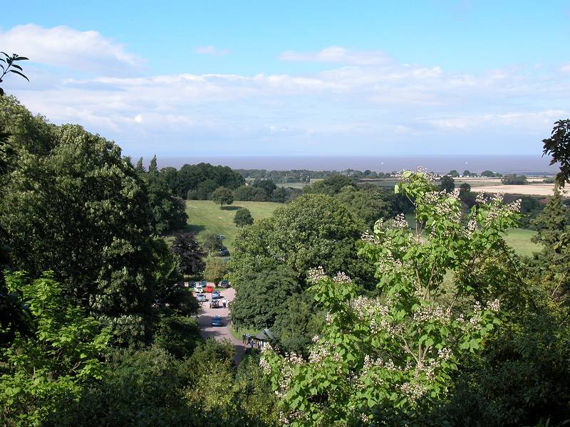
Shortly after you leave the path junction the track splits into two, running either side of the old stone wall. The track to the right (south) of the wall appears to be used extensively by horse riders, so keep to the left (north) side. After about 900m the trees fall away to the left (north), leaving you with a view towards Minehead and over the Bristol Channel to Wales across a scrubby heathland slope. Watch for a fork in the path, where you should keep to the ridge by going right.
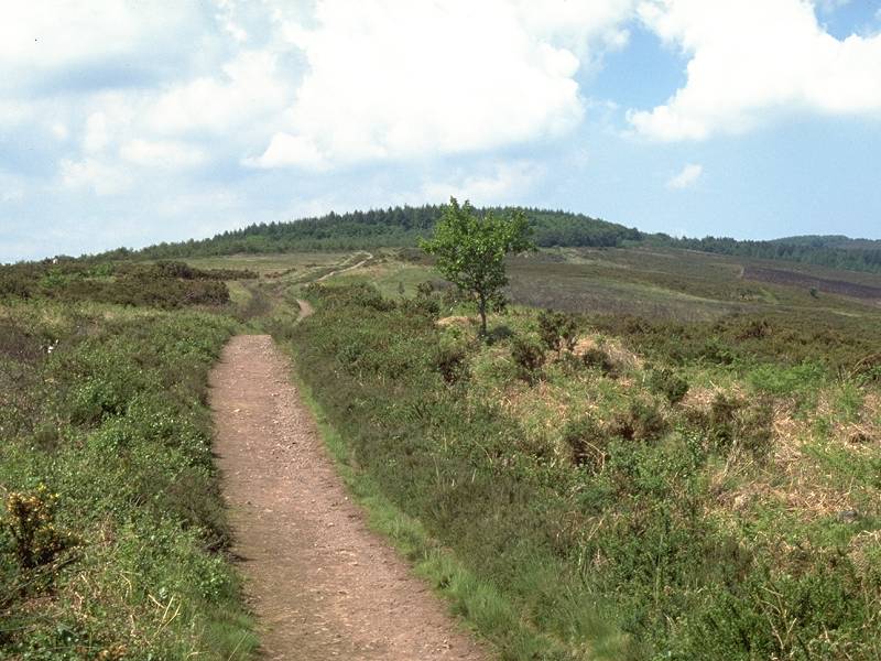
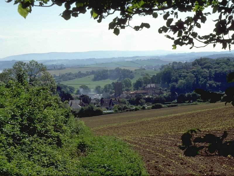
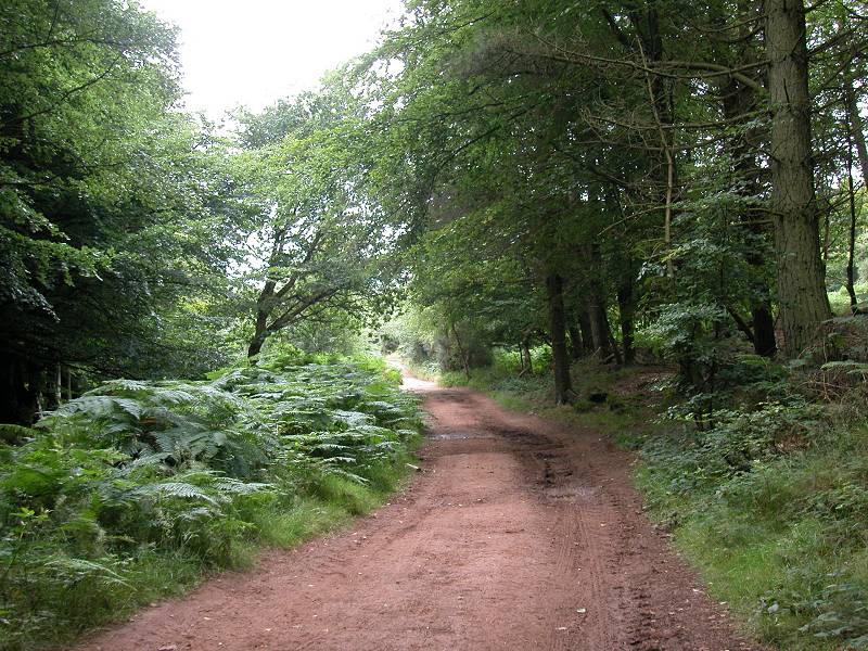
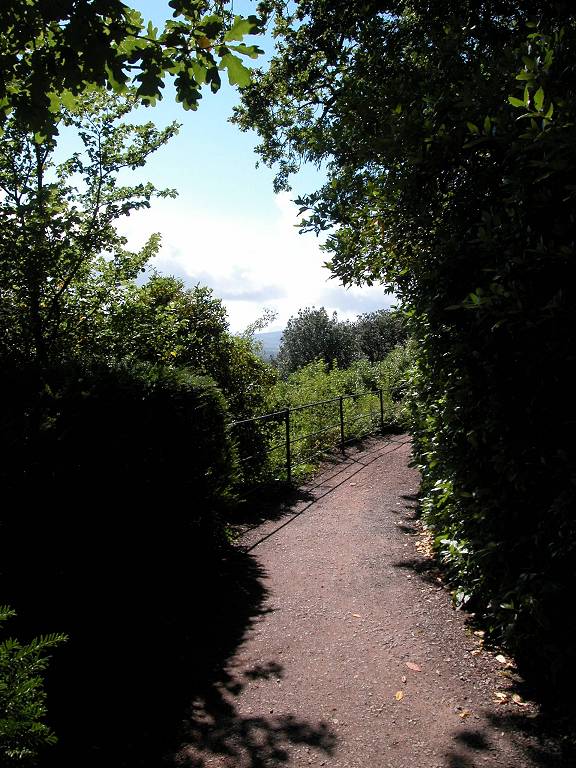
The ridge path now enjoys extensive views over to Minehead and the Bristol Channel, and of the Brendon Hills to the south. Once you approach the end of the ridge the path enters an area of woodland. Watch for another fork, at which you go left.
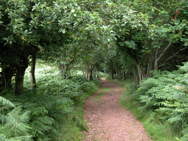
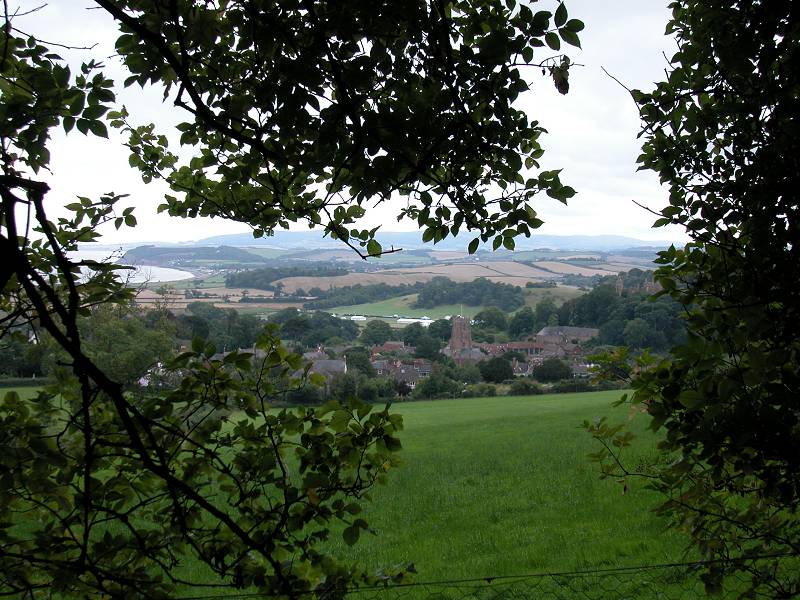
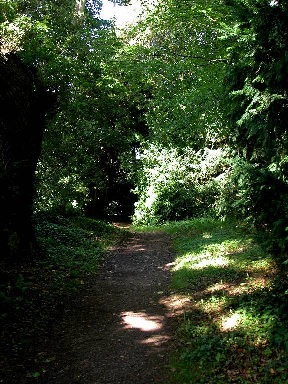
Woodland path down to Dunster
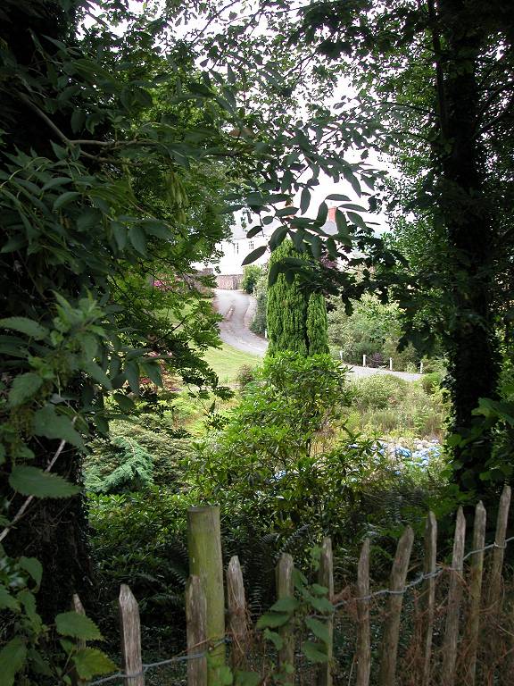
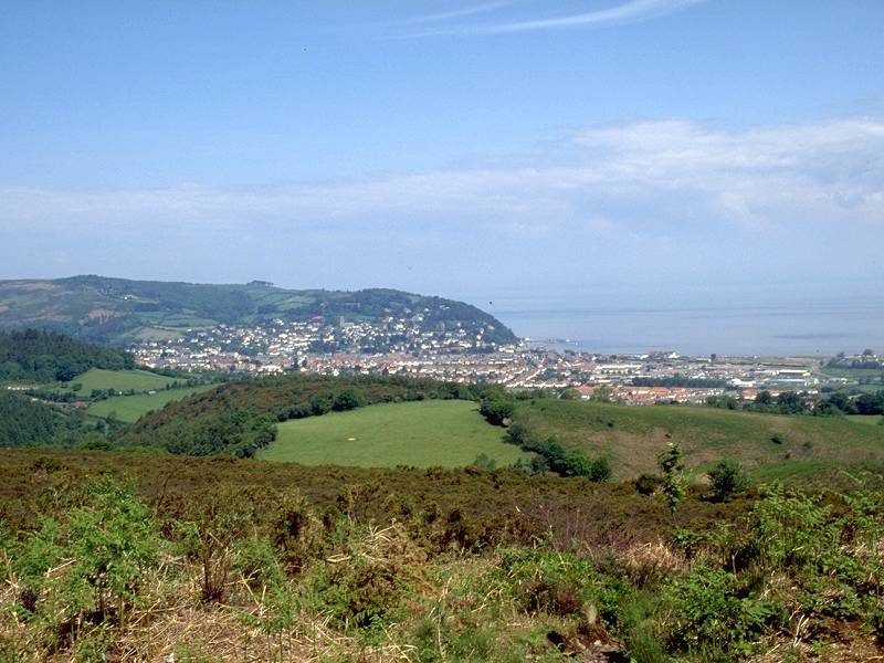
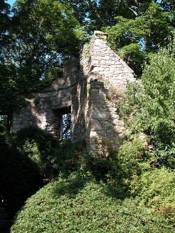
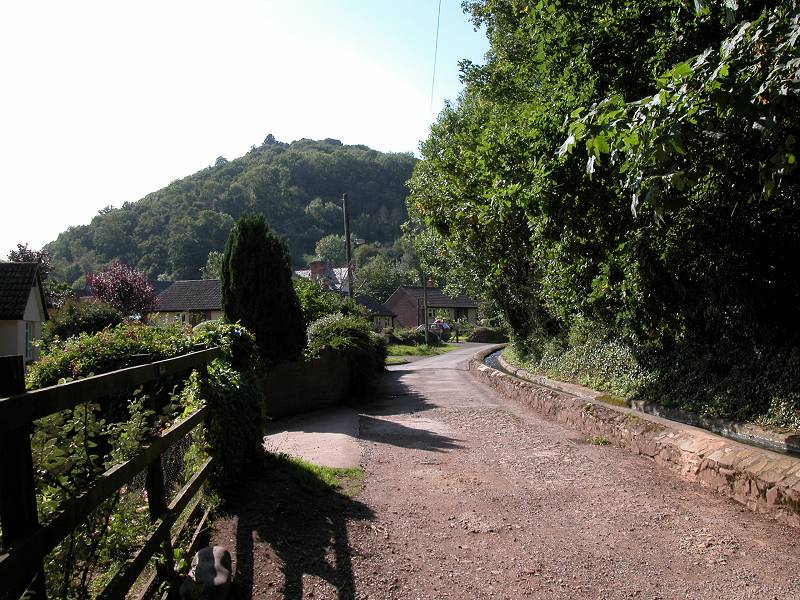
The path now drops off the hill towards Dunster, which is visible below. You will pass the curiosity of St Leonard's Well, a little stone chamber with a door. Follow the path, off the hill and between pastures, to reach the outskirts of Dunster itself.
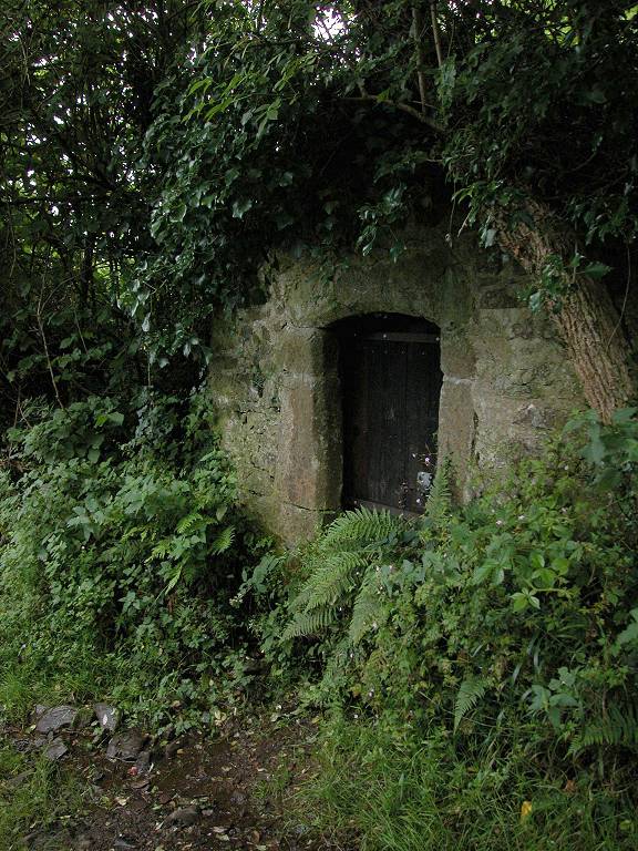
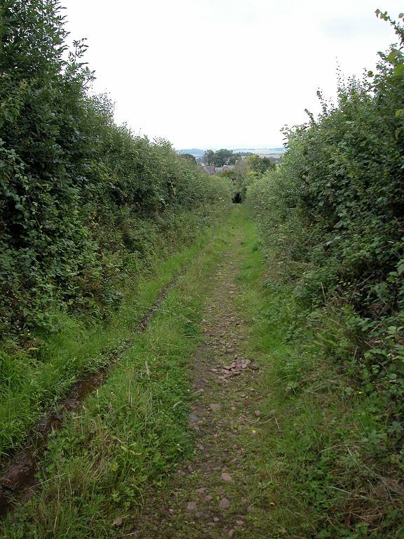
St Leonard's Well; Path to Dunster
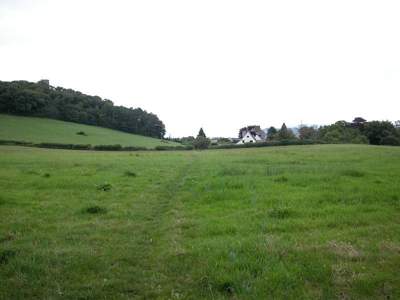
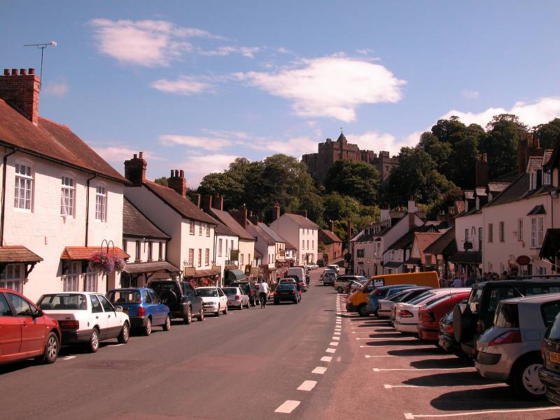
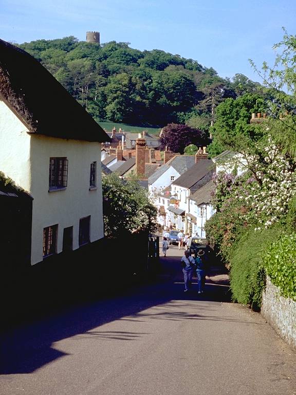
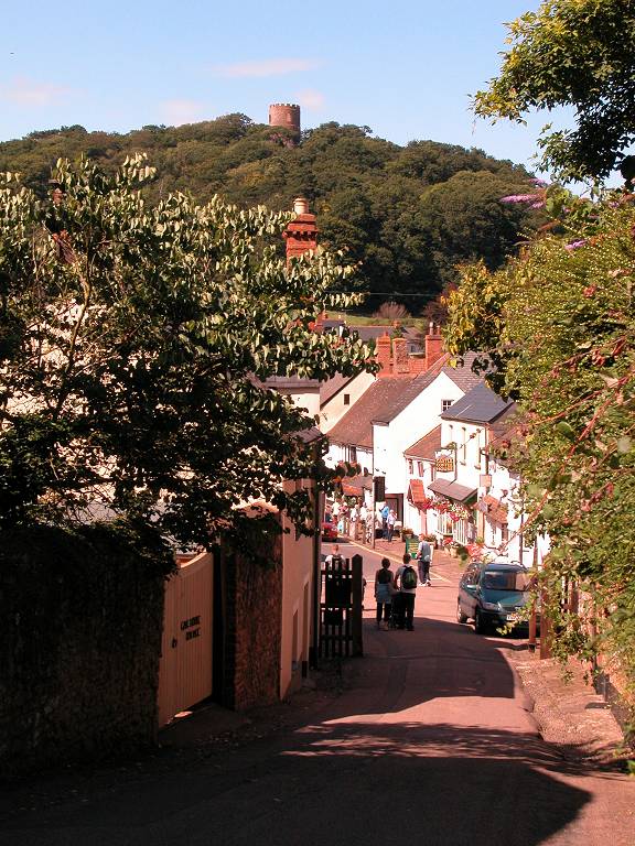
Approaching Dunster

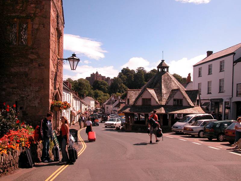
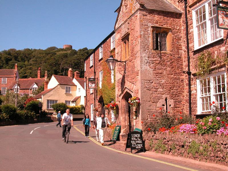
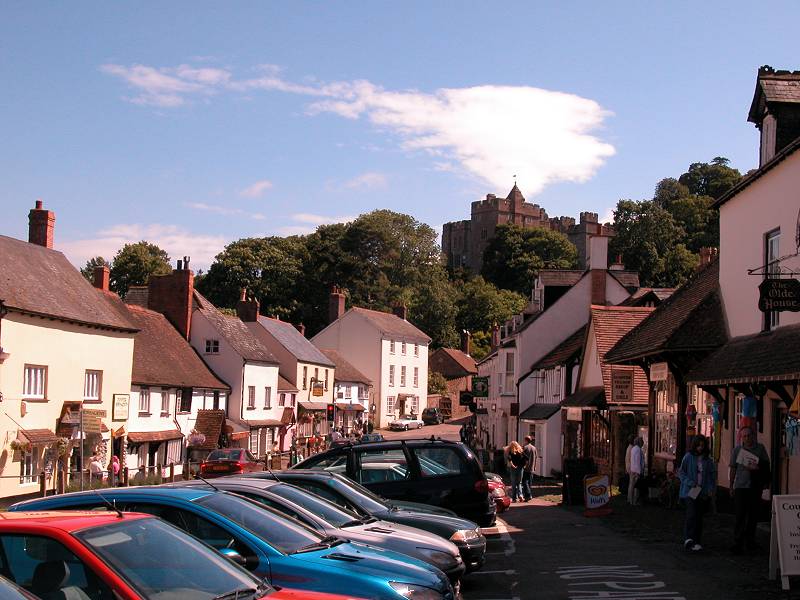
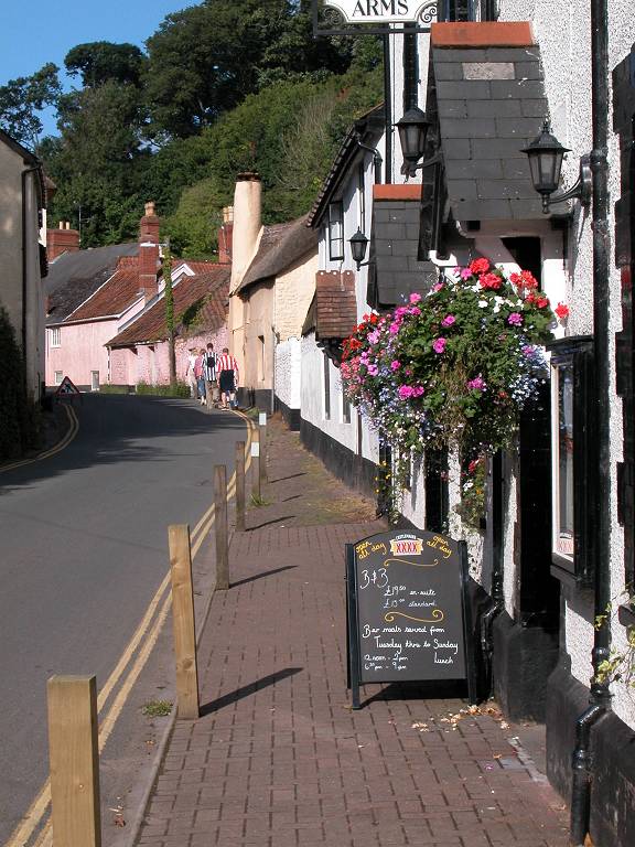
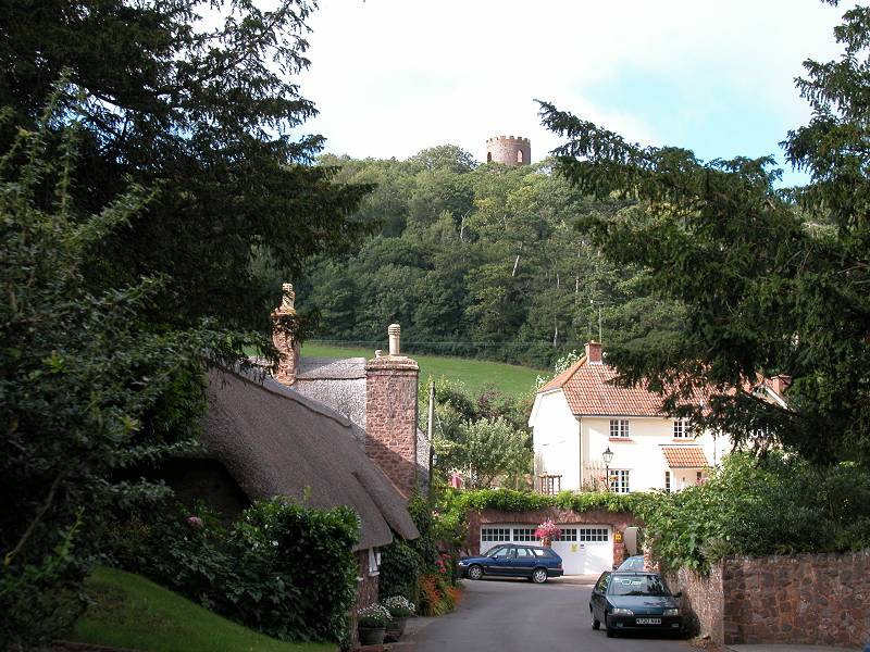
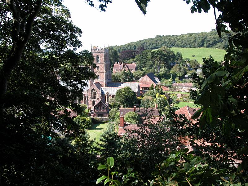
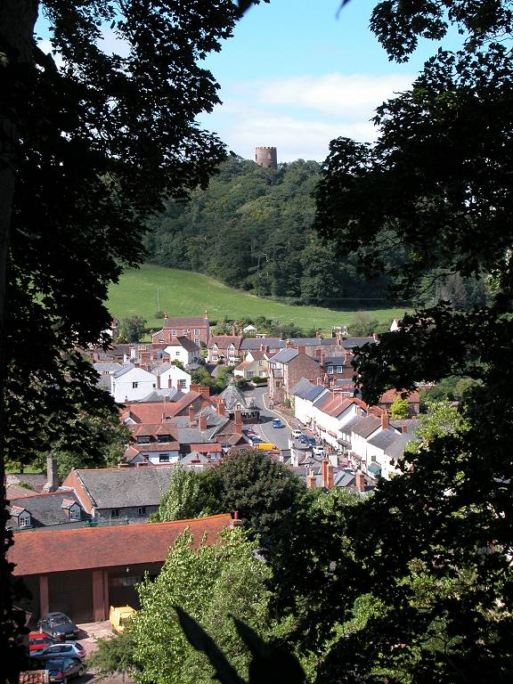
Dunster
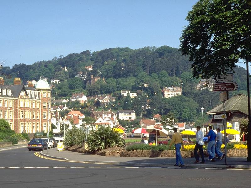
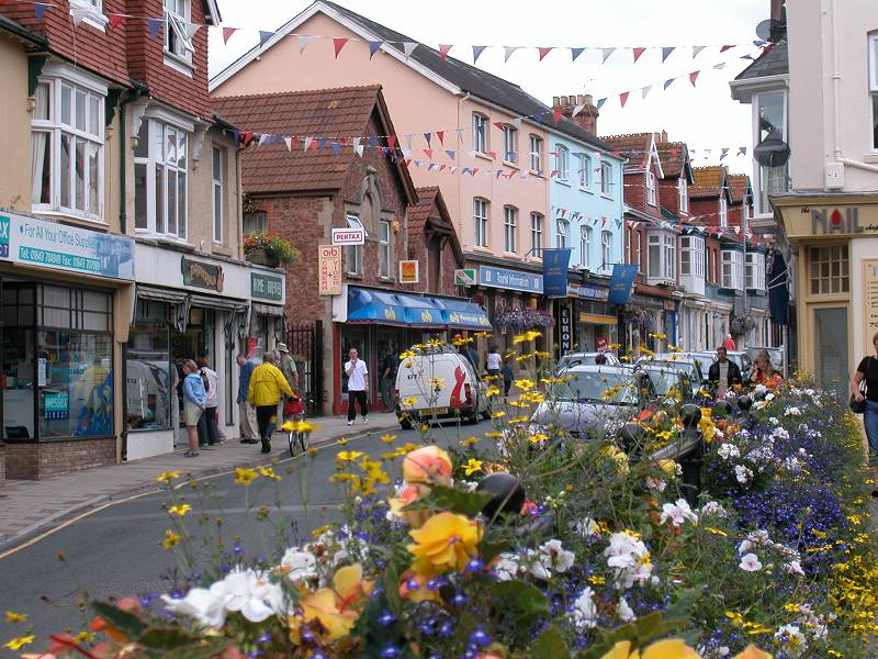
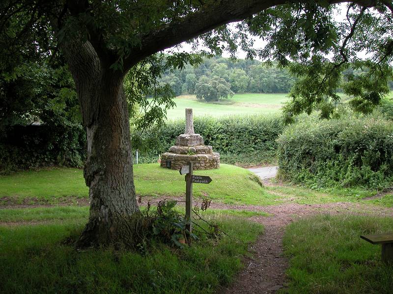
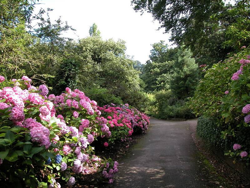
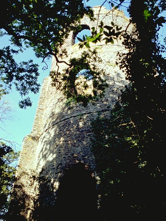
Dunster is a show village. Said by some guidebooks to be the most beautiful village on Exmoor (which is stretching it a bit because Dunster actually lies off the edge of the moor), it is almost a film-set version of Olde England and as a bonus it is set between two prominent hillocks - one dominated by the 250-year old Conygar Tower, a daymark for shipping, the other crowned by Dunster Castle, said to be a thousand years old. With its steep and wide main market street, its hotchpotch of historical architecture, and its back lanes and picturesque gardens, Dunster oozes charm and is well worth a half-day visit.
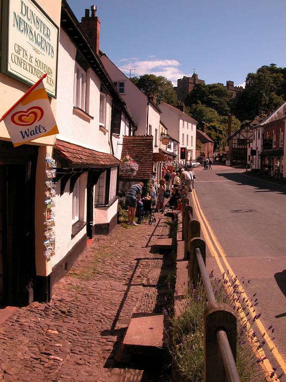
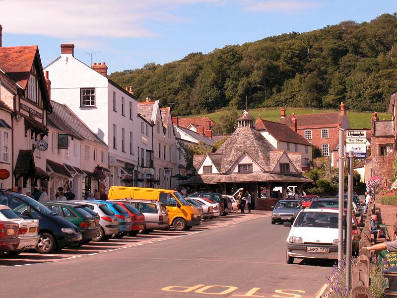
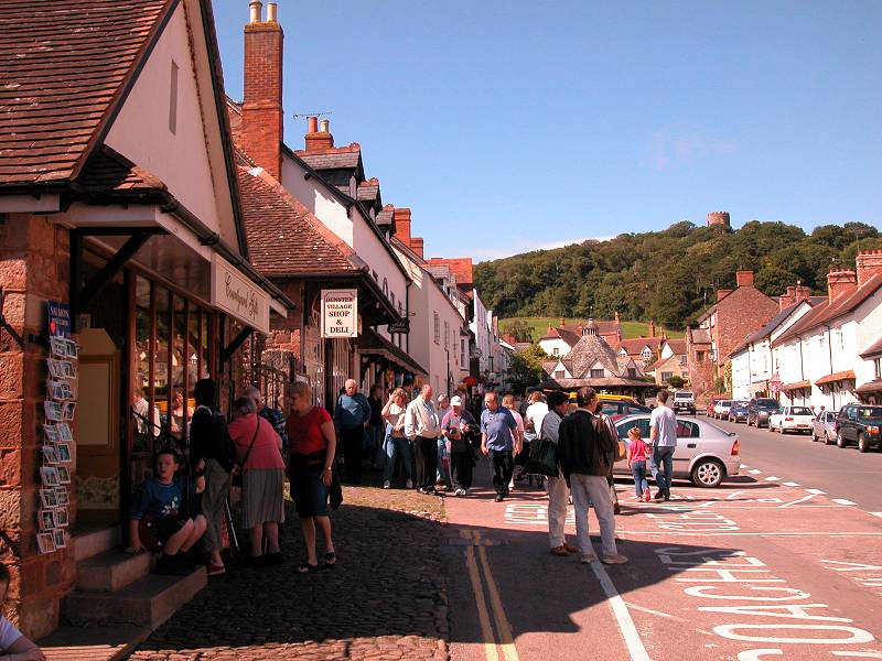
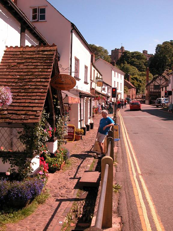
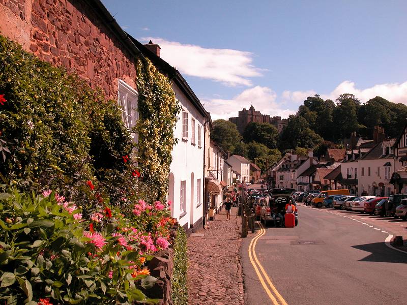
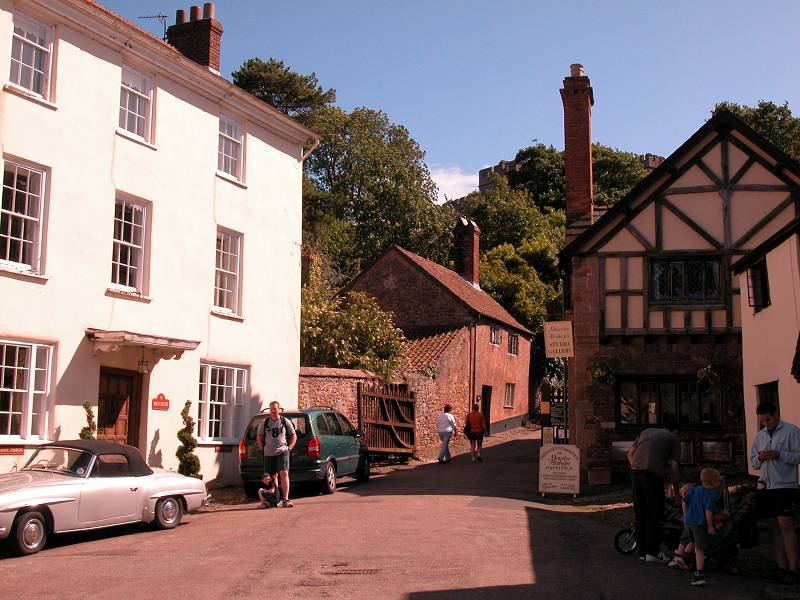
Dunster


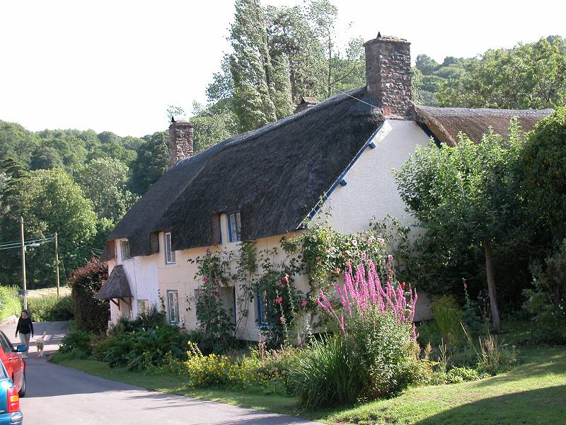
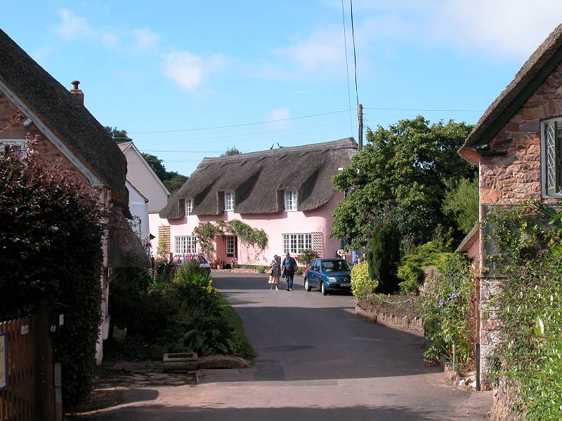
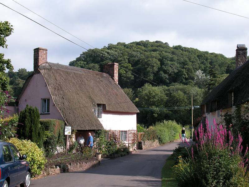
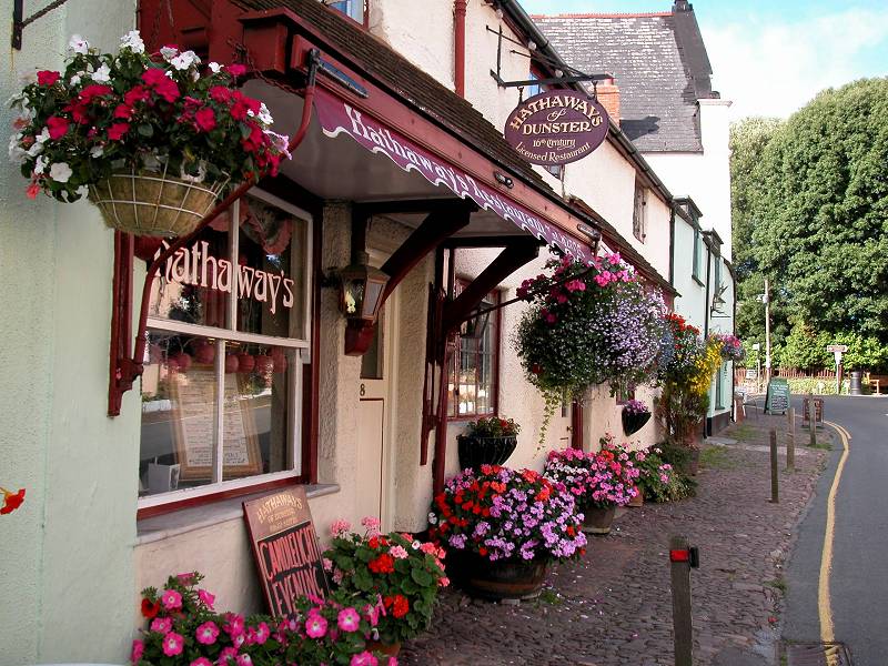
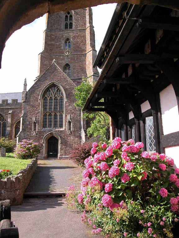
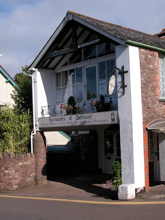
Dunster, and its back streets
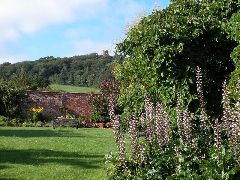
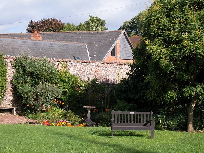
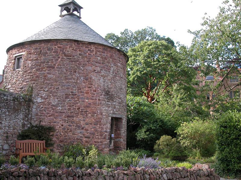
Dunster's castle is still a private residence but is partly open to the public. Don't miss the gardens and the less formal surrounding parklands and woods, which feature a couple of absolutely delightful river bridges. The "back way" into the castle grounds is by the old village mill, which has been restored and is itself open to the public.
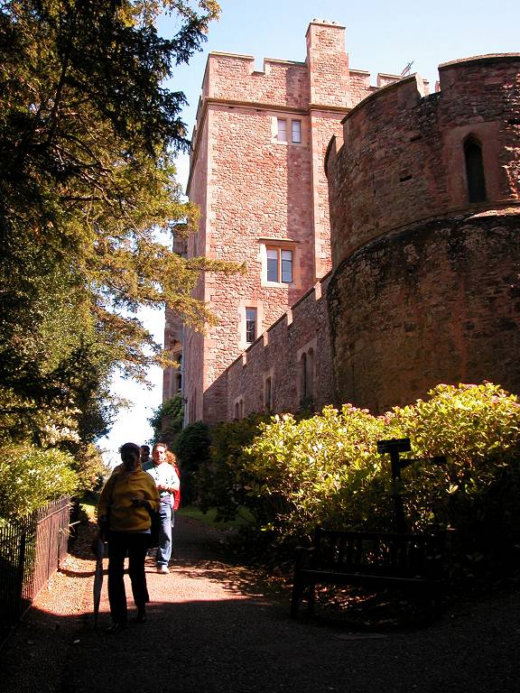
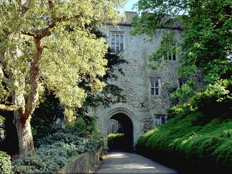
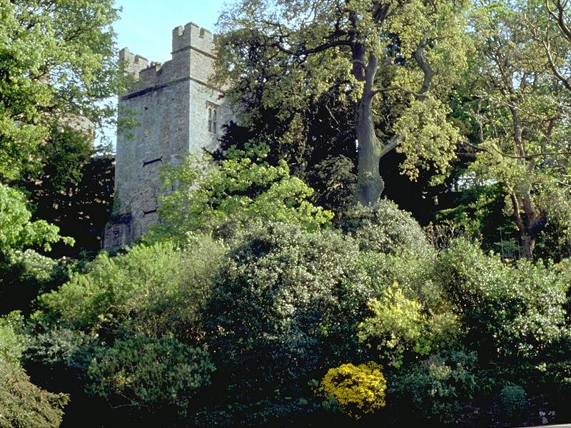
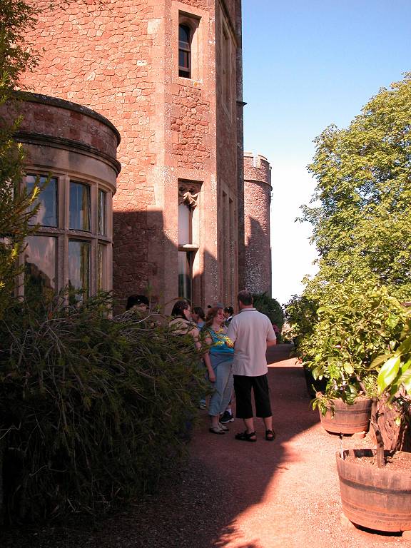
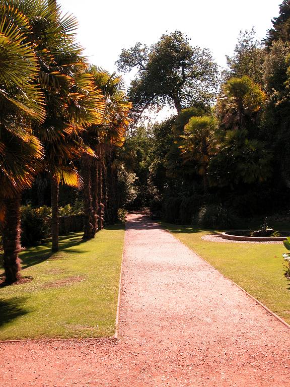
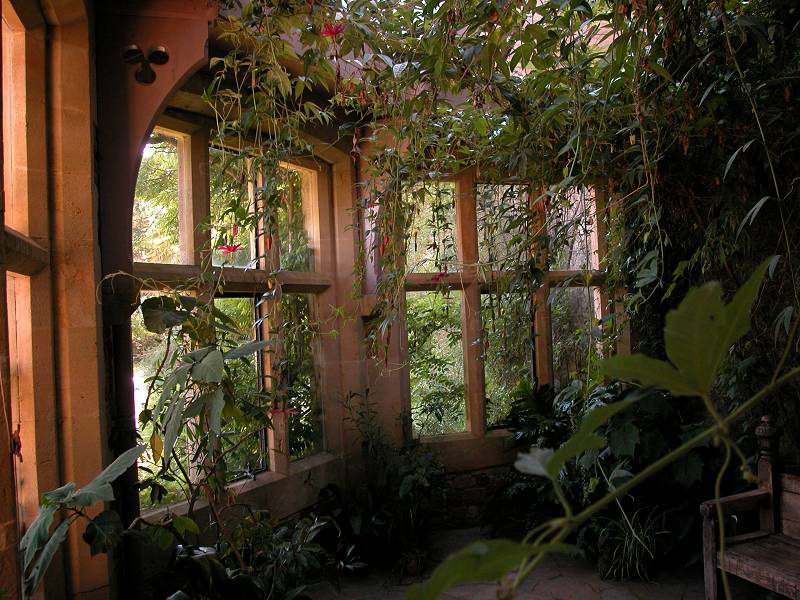
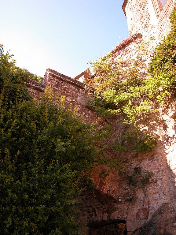
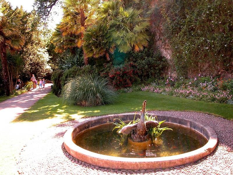
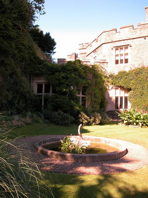
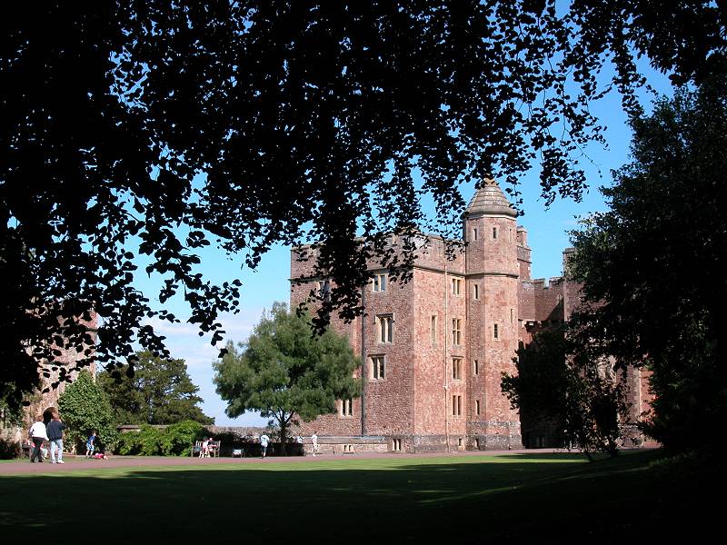
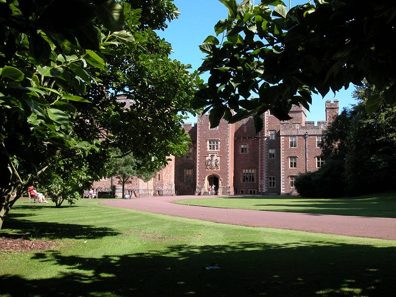
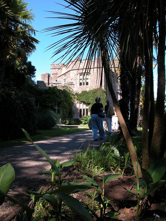
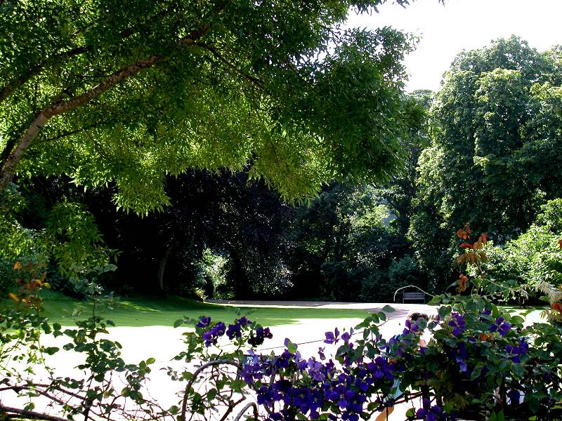
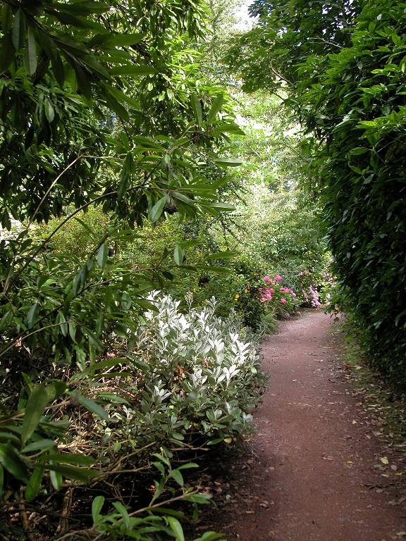
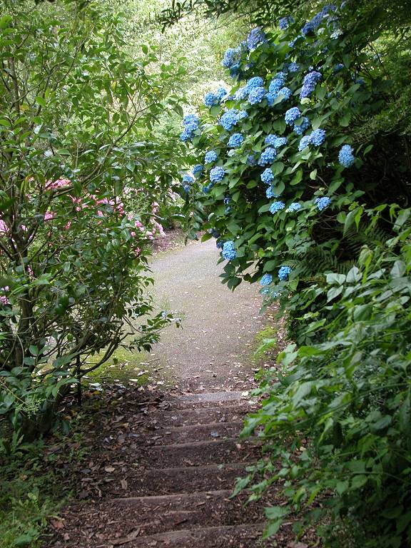
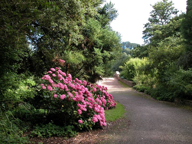
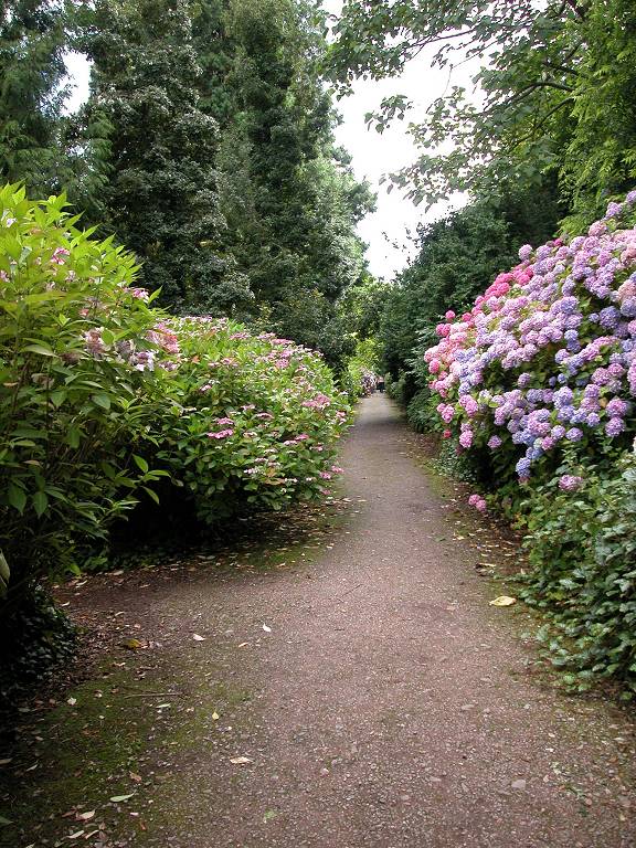
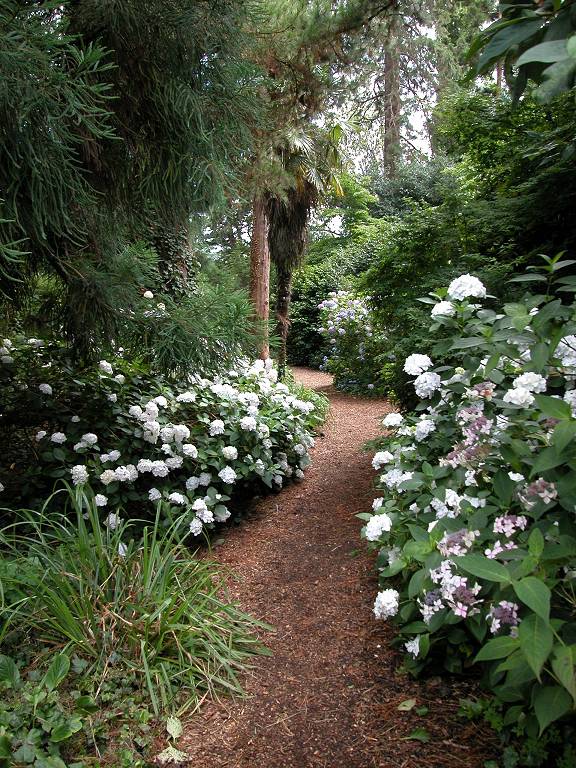
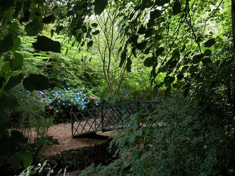
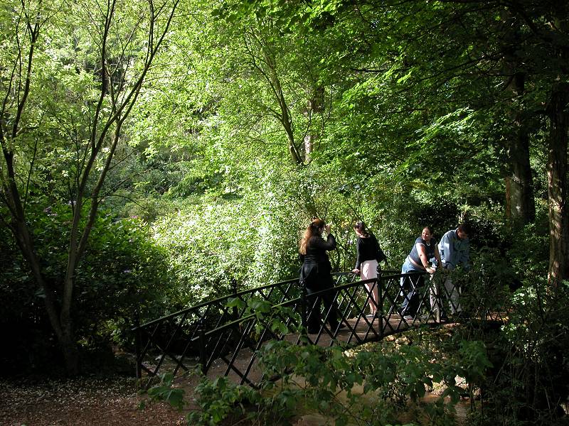
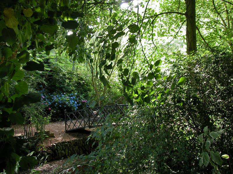
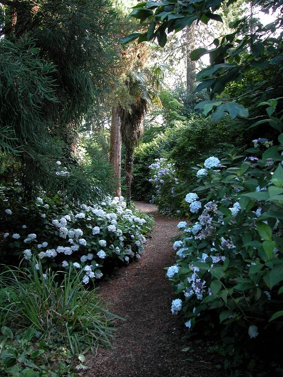
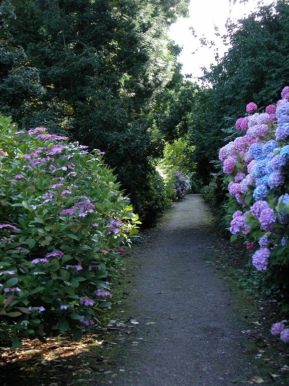
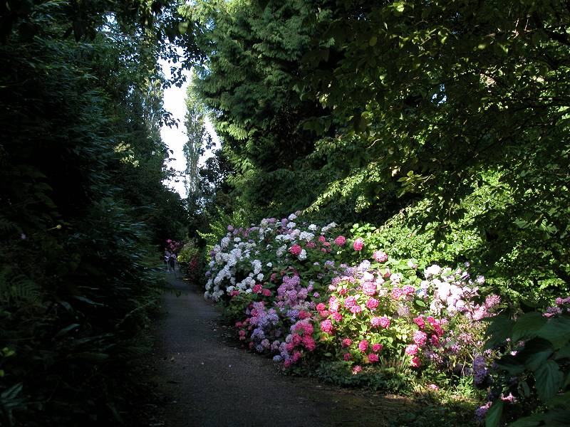
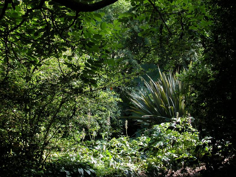
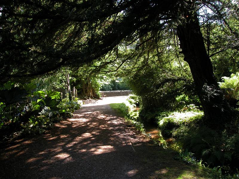
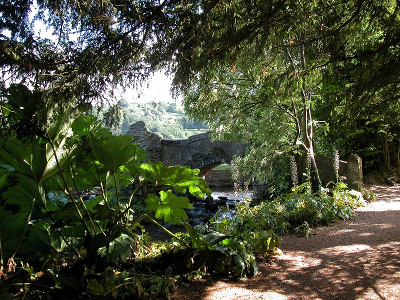
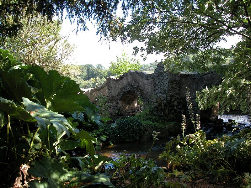
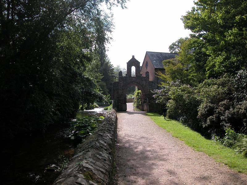
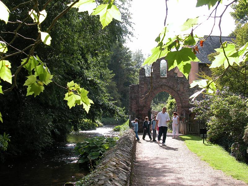
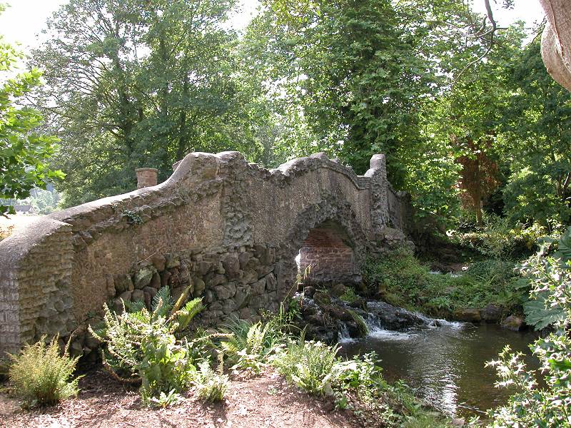
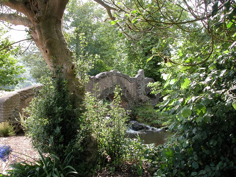
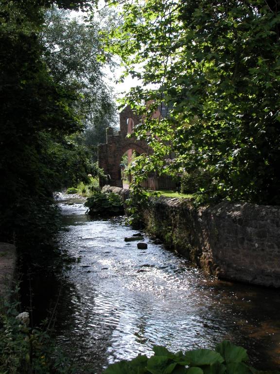
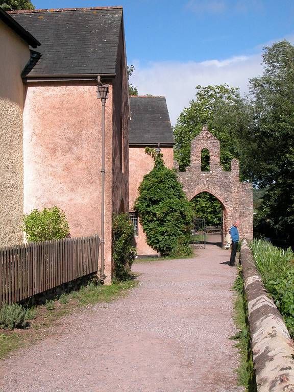
Dunster Castle and grounds
![]() First
Taunton Service 28, Minehead
- Dunster - Bicknoller - Taunton
(Mon-Sat)
First
Taunton Service 28, Minehead
- Dunster - Bicknoller - Taunton
(Mon-Sat)
![]() First
Taunton Service 928, Minehead
- Dunster - Bicknoller - Taunton
(Sun / Bank Holidays)
First
Taunton Service 928, Minehead
- Dunster - Bicknoller - Taunton
(Sun / Bank Holidays)
![]() First
Devon Service 398, Tiverton
- Dulverton - Exford - Dunster - Minehead (Mon
- Sat)
First
Devon Service 398, Tiverton
- Dulverton - Exford - Dunster - Minehead (Mon
- Sat)
|
Minehead to Dunster 182 images, 276M of data, £4.50. Price
inclusive of
postage / packing. |
| Porlock to Minehead | Back to Somerset Way index | Dunster to Bicknoller |
This page last updated 3rd January 2004
![]()