| Minehead to Dunster | Back to Somerset Way index | Bicknoller to Taunton |
| Minehead to Dunster | Back to Somerset Way index | Bicknoller to Taunton |
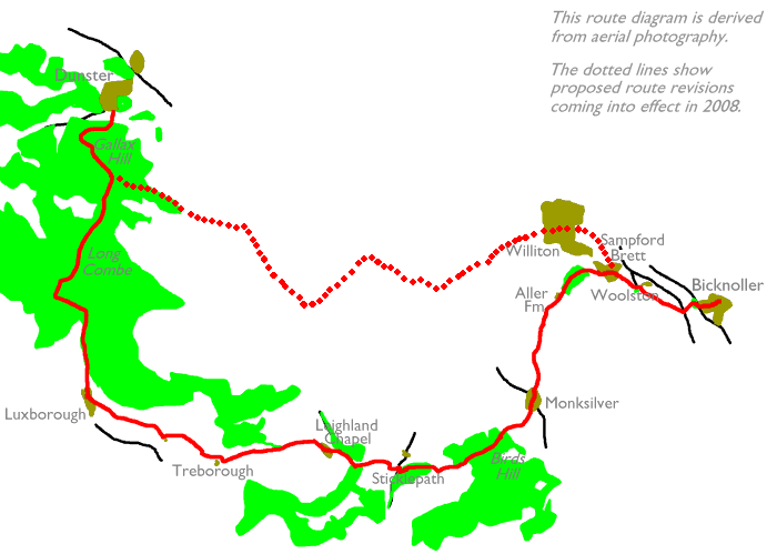
The first few miles, however, are atypical of the walk as a whole. From Dunster we climb to the top of Gallax Hill and its iron age earthworks, from where we enter a sizeable Forestry Commission plantation and the world of forest tracks and rides. Once Perley Combe delivers us into the tiny village of Luxborough things become pastoral and the walk settles into the Brendon Hill phase. A word of warning here. This walk is not a national trail or an official long distance path - it makes use of local footpaths and the usual warnings about the state of Britain's rural path network apply once more. There may be route finding problems and some sections of path might be very poorly maintained. It's impossible to give specific examples as situations change from year to year and even from month to month, but prepare for logistical problems and allow plenty of time. Some will find the walk too long for one day, given that so much of your energy may well be expended on finding the route rather than enjoying its rural charms. There are few "opt-out" points but the most obvious is at Aller Farm, from where a footpath called Aller Lane will deliver you into the centre of Williton (on the Minehead-Taunton bus route) in about fifteen minutes. Once you do reach Bicknoller at the end of this section, be aware that the bus does not go into the village but stops at a halt on the main road, at its junction with the more southerly of the two roads out of the village. Cast an eye eastwards up to the ridge of the Quantocks before you leave - that's for tomorrow, and it's glorious walking country indeed.
Maps: 1:25000 OS Outdoor Leisure 9 (Exmoor), OS Explorers 140 (Bridgewater) and 128 (Taunton)
Click
on
any thumbnail image in this gallery to display the corresponding full
size
image. The images are access protected through a cgi script to prevent
hotlinking. If you encounter problems while trying to view the full
size
images, please read the access advice
page.
![]() Service
28, Minehead - Dunster - Bicknoller - Taunton
(Mon-Sat) (Summer 2002 timetable)
Service
28, Minehead - Dunster - Bicknoller - Taunton
(Mon-Sat) (Summer 2002 timetable)
![]() Service
928, Minehead - Dunster - Bicknoller - Taunton
(Sun / Bank Holidays) (Summer 2002 timetable)
Service
928, Minehead - Dunster - Bicknoller - Taunton
(Sun / Bank Holidays) (Summer 2002 timetable)
Dunster itself is described in detail on the previous page (Minehead to Dunster), and I'm assuming that you did all the exploration of the immediate environs yesterday. Our first destination today is Gallax Hill, about a mile south of the village. To get there, first walk through the village, past the castle, on the A396 Dulverton road. Just before you hit the edge of the village turn left along a lane (there's probably a car park sign pointing along it). A rather agreeable footbridge over the river Avill takes you out of the village and onto the wooded slopes of Vinegar Hill; take the track to the right rather than the one straight on. You head uphill through trees, heading almost due west, for about 600m.

When you reach the shoulder of the slope take a left turn and walk directly uphill. The path is shown on the map but is not depicted as a right of way. The path breaks the trees to reach the earthworks on the summit of Gallax Hill (174m elevation). I have no information about the earthworks but they are typical of Iron Age hill forts.
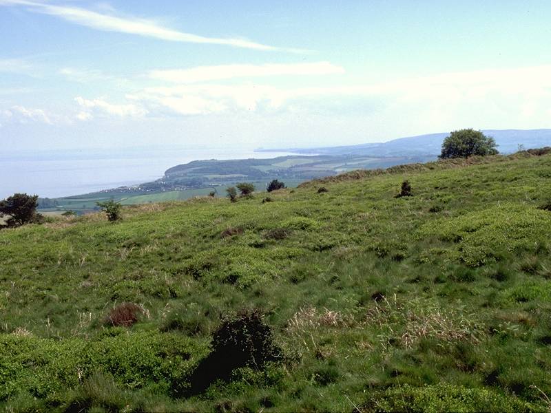
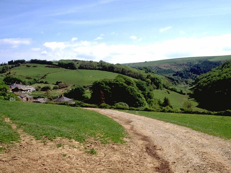
Gallax Hill has two summits, both carrying rings of earthworks. The second summit lies about 600m southeast of the first. Views from up here are good. Dunster is well seen from the first summit, while the second has excellent views out along the Somerset coast into the Bristol channel, and the northern parts of the Quantocks are also prominent.
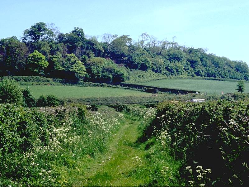
The foot of Gallax Hill
Walk about 300m onwards from the second summit of the hill then take a path heading downwards to the right, which quickly enters tree cover once more. In about 500m this path hits a forest track. The route doglegs left along this track for a short distance then hard right, to cross a footbridge over a nameless stream. Your route onwards from here leads slightly west of south.
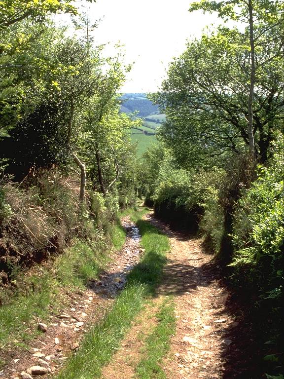
For the next mile your route lays along Long Combe, which is a very apt name. Initially there's an open section to another path junction, then the track dives into the wood and follows a shallow valley, alongside a stream, heading gently but inexorably uphill. It seems to go on for ever - it takes around half an hour or more.
Long Combe plays an unnerving trick of tailing off. As it climbs through the wood it gets gradually narrower and less well defined. After passing the splendidly named feature of Withycombe Scrufflets, whatever that might be, the path deserts the combe itself and its accompanying stream and curves off towards the right, climbing into the wood. It gets darker, narrower and lower. There comes a point where you think that it surely must peter out and that you'll have to go back. Fear not, for it bursts through quite suddenly onto a wide forest road. Turn left following this road to the south. After some 400m you come to a major junction of forest roads. Turn left here, to head east again.
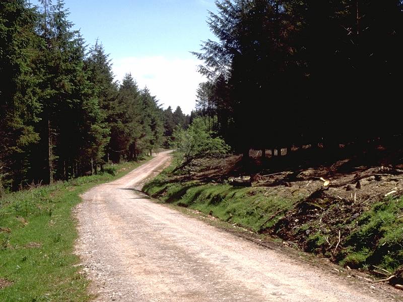
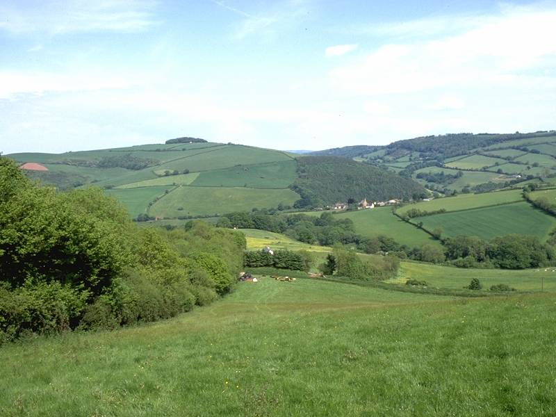
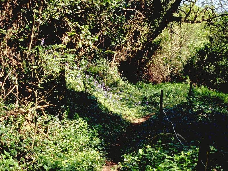
Frustratingly, the map fails to name this locality. You're at quite a high elevation, following a ridge, but it doesn't appear to have a name. You're somewhere in the middle of six square kilometres of forest plantation, but the forest doesn't seem to have a name either. Keep on walking. This forest road is excellent country for off-road cyclists and you may well see a few. Some 600m from your last path junction you come to another, even bigger one; the vast open expanse of Withycombe Common lays to the northeast while the valley of Perley Combe drops to the south. No less than seven paths radiate from this spot. It's a good place for a morning break.
Perley Combe
The next destination is the tiny village of Luxborough, and to get there we turn right and descend Perley Combe. There are two tracks down the combe, one each side, and you should take the more easterly of the two. (Face southwards, into the combe, and take the track leading off at 11 o' clock).
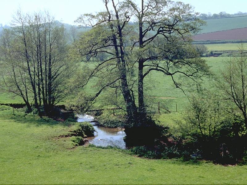
Foot of Perley Combe
It's a distance of about 1200m along Perley Combe, though it doesn't seem anything like as long as Long Combe as you can see where you're going. Near the foot of the combe you have tree cover on both sides for a short distance before the track disgorges you onto a country road. Turn right and follow this road into Luxborough.
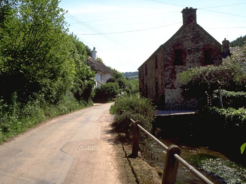
Luxborough
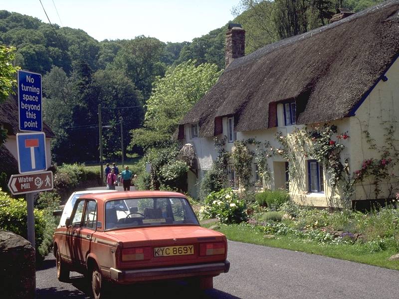
Luxborough is a tiny locality, pleasant enough, with a stream alongside the main road giving it an unusual character. You've barely entered the village when you come across a bridleway sign pointing half left; this is our route to Lower Court Farm and Treborough.

At a path junction on the hilltop turn right and follow a track down to Lower Court Farm. A road leads initially east, then southeast, smartly uphill for just under a mile to reach Treborough.
Treborough is barely any bigger than Luxborough and consists of a church and a handful of cottages. The road bends to the right and reaches a village crossroads; turn left, to head eastwards once again. From another road junction a short distance ahead, a footpath parallels the course of the road ahead, on its right-hand side. Take this footpath, for when the road veers away to the left the footpath carries on straight ahead towards Leighland Chapel.
You reach what passes for a main road through the village; turn right onto it and follow a lazy s-bend, necessary as the village is built into the foot of another combe. Just beyond the far edge of the village, before you reach Leighland Farm, take a footpath to your left. Keep a close eye on the map now, for this path does a complicated little dance of right and left turns before crossing a brook and heading for Pitt Mill farm.
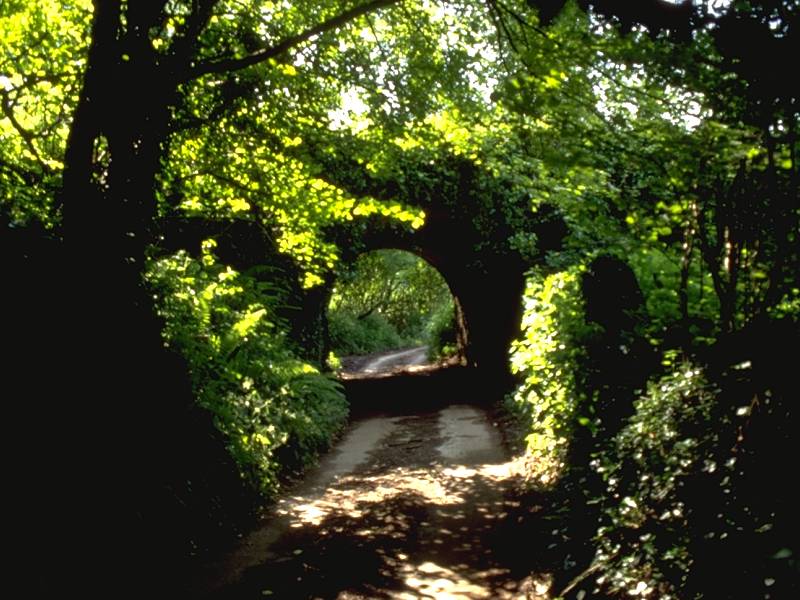
Continue to watch the map closely. The route past the vicinity of Pitt Mill is complex and seems to be rather longer than the map suggests it should be. Some decent waymarking, or any waymarking at all, would be a distinct advantage here. The route initially curves south in the vicinity of the stream, then heads east up a side valley towards Willhay Farm. You're on a rather curious vehicle track here, hemmed in by steep, almost ravine-like, walls. At one point you pass under a structure that looks just like a Victorian railway bridge, yet there is no evidence of an abandoned railway here.
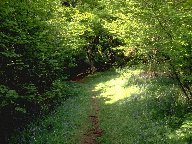
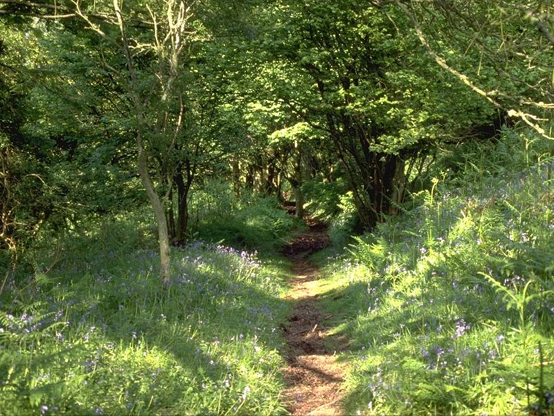
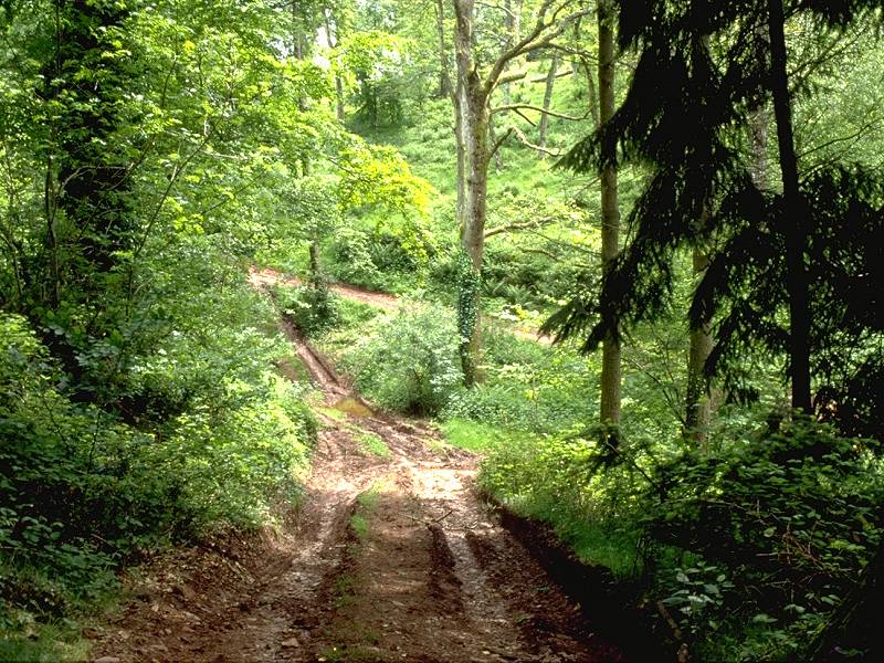
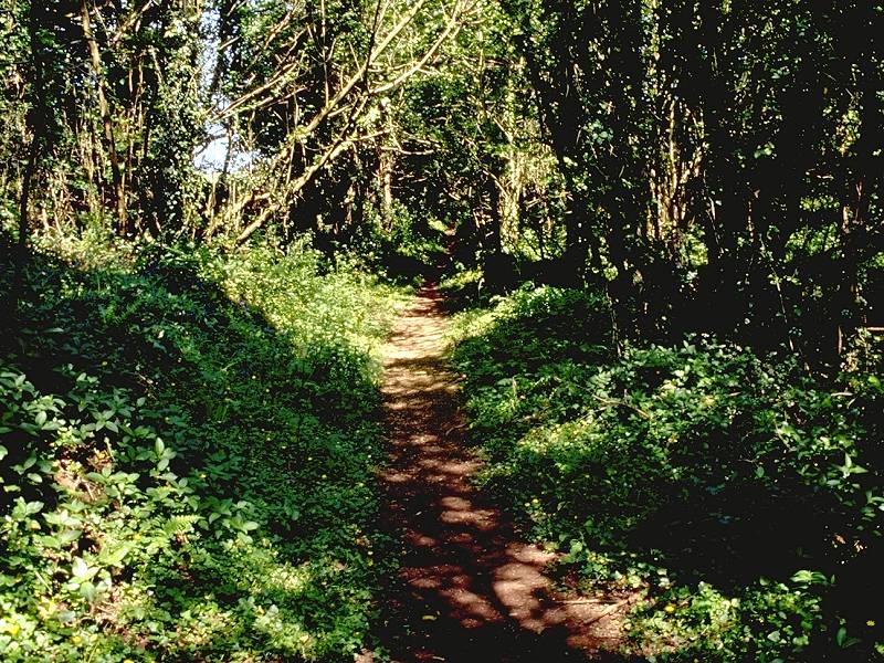
Woodland track on Bird's Hill
There are a number of tracks through the wood, and eagle-eyed map readers will have noticed that the right of way charts a theoretical course that doesn't actually correspond to any of them. As you're not capable of walking through tree trunks, ignore the right of way and follow your nose. The route doesn't actually visit the summit of Bird's Hill but keeps to the northern slopes, and starts to head downhill in a northeasterly direction towards Monksilver.
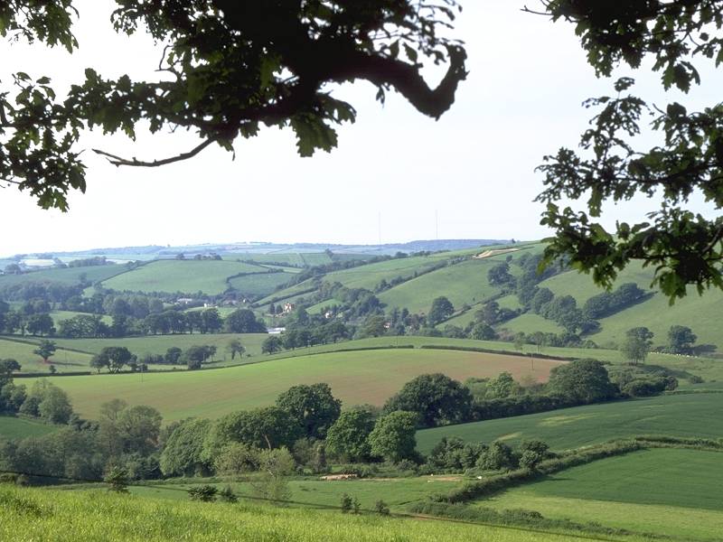
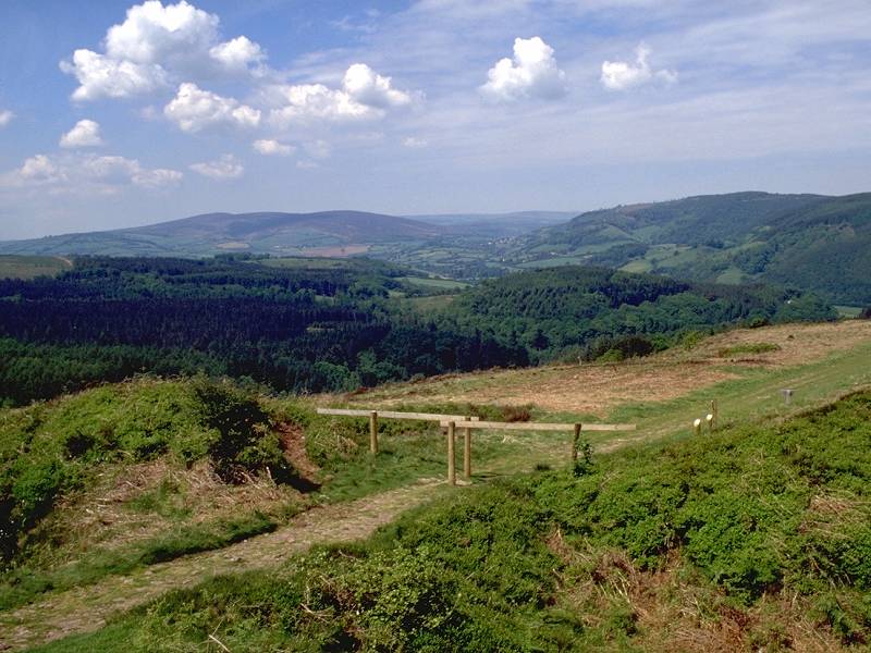
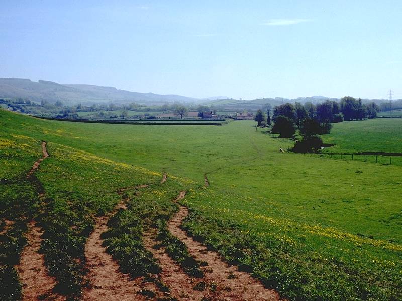
Views from the path descending from Bird's Hill
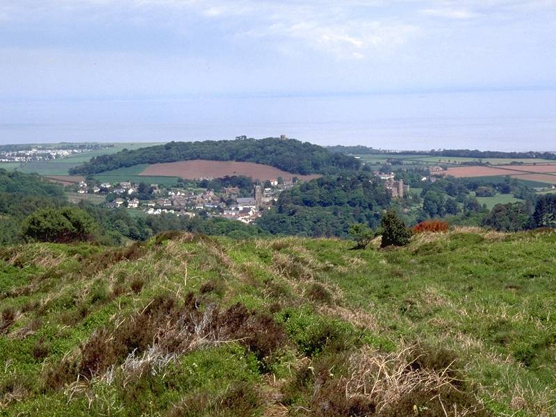
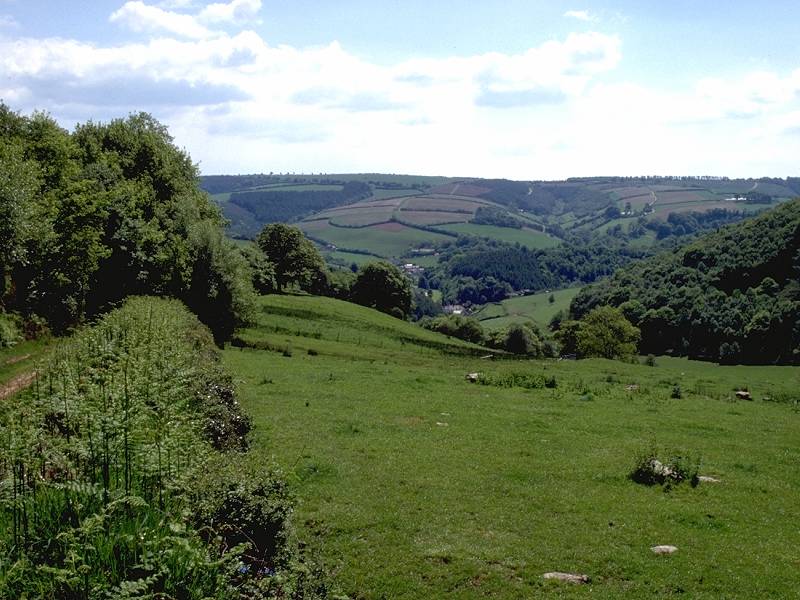
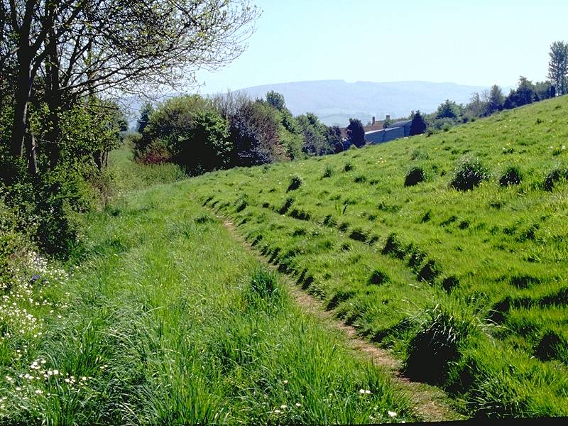
It's probably occurred to you now that, having been following a path through a series of combes and fairly extensive tree cover, you've not had anything amounting to a view since leaving Leighland Chapel some two and a half miles back. All that suddenly changes as you descend Bird's Hill, for the tree cover to the north gives out and you're suddenly rewarded with a view across Nettlecombe to the coastal plain. The village of Washford is prominent thanks to the BBC's array of radio masts there, and you will see glimpses of the higher parts of Minehead to the northwest.
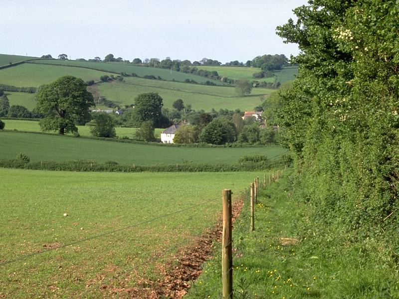
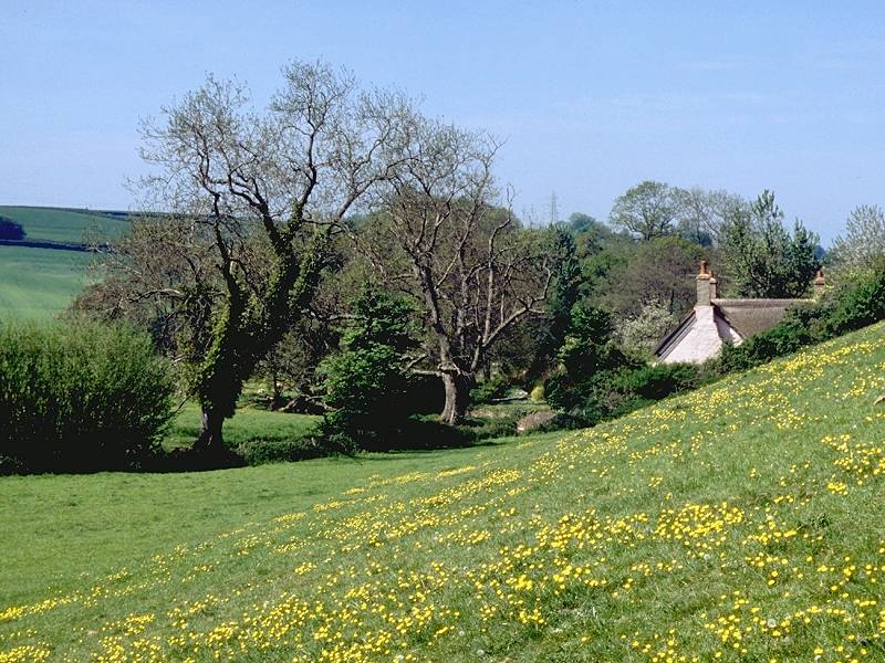
Approaching Monksilver
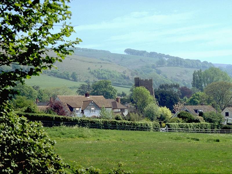
Monksilver is approached by a very pleasant descent path along the edge of a pasture, which initially has trees to the left. Monksilver itself is yet another tiny, compact village with a church and a few dozen cottages. It seems like a bustling metropolis compared to the last four villages we passed through, but there are no facilities here - a pity, as this would be just the right place for a coffee shop. Walk through the village to the north, and at a junction take the lane to the right. At this point you leave the Exmoor National Park. After 300m leave the lane for a footpath leading off half left. The path runs in a deep runnel though a spinney, not shown on the map. I have to warn that, when I did this walk in 1994, the path was appallingly rough.
The next two kilometres, from Monksilver to Aller Farm, are confusing and joyless. About 850m after leaving the road above Monksilver you reach a path junction just south of a clump of trees. The path continues through the trees and is then supposed to cross a pasture almost due north. the chances are that you will lose the path - if this happens follow the pasture boundary to the east. It seems to take forever. If you're lost and following the field boundary, be aware that it takes several left turns and goes a long way round before you reach a junction of pastures, at which you should see a footpath sign pointing north to Aller Farm.
Aller Lane
The track onwards from Aller Farm - named Aller Lane - leads away northwards from the east side of the farmyard, so go round all the farm buildings keeping them to your left. Although not shown on the map, Aller Lane is hemmed in by dense tree cover.
There is a fork in the path about 500m north of Aller Farm. The main track, leading straight on, is the lane into the town of Williton which provides a useful abort point if you're pushed for time or have had enough for one day. Our route is the turning to the right, which can easily be missed in high summer when the paths become overgrown. The path curves smartly to the right to head eastwards towards Sampford Brett.
![]() Service
28, Minehead - Dunster - Williton - Bicknoller -
Taunton
(Mon-Sat) (Summer 2002 timetable)
Service
28, Minehead - Dunster - Williton - Bicknoller -
Taunton
(Mon-Sat) (Summer 2002 timetable)
![]() Service
928, Minehead - Dunster - Bicknoller - Taunton
(Sun / Bank Holidays) (Summer 2002 timetable)
Service
928, Minehead - Dunster - Bicknoller - Taunton
(Sun / Bank Holidays) (Summer 2002 timetable)
The route from Aller Farm to Sampford Brett
Once you're free of the trees it's a
pleasant
and quite short pasture-edge path that takes you to Manor Farm, on the
edge of Sampford Brett, a village a little larger than Monksilver. Once
in the village walk along the lane to the church then turn right down
another
lane. At the far edge of the village, about 300m south of the church,
the
lane gives out and divides into two footpaths. Take the one going
half left across the field to Woolston, only 500 metres away.
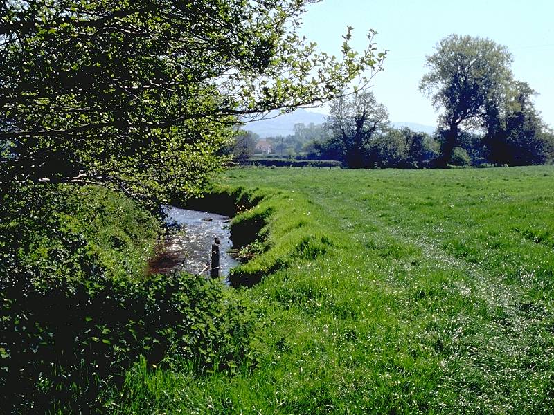
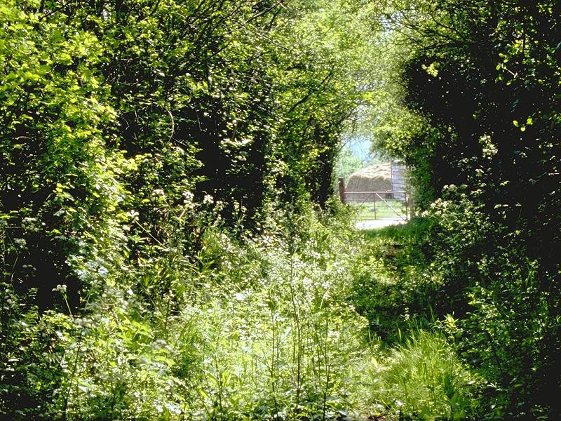
The river meadow path south of Woolston
You reach another road at Trenance Farm. Turn right into the road, then immediately left just past the farm buildings onto another footpath, which hugs field boundaries for about 400m before converging with the Taunton - Minehead railway line.
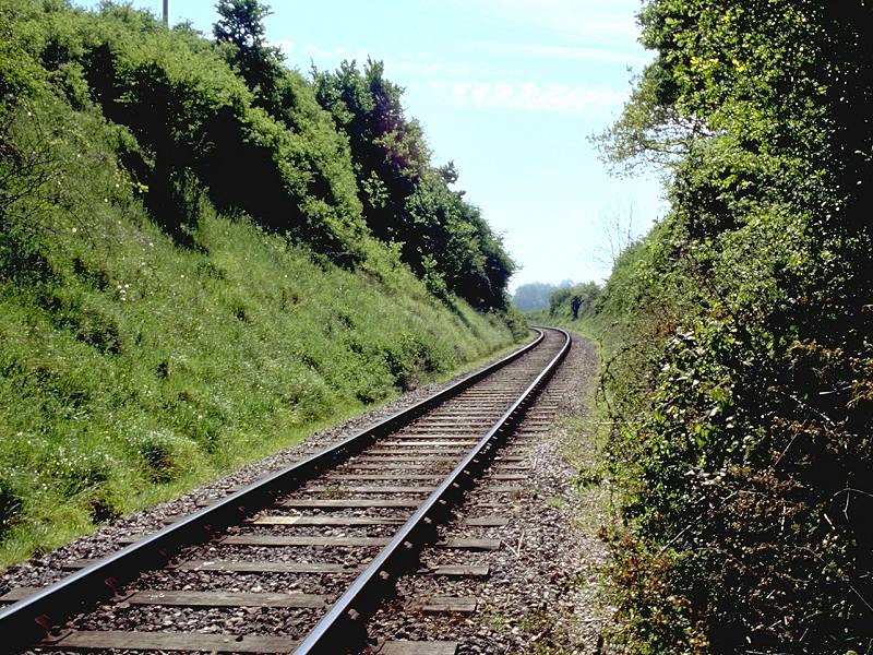
Railway crossing
The footpath crosses the railway line on the level so look out for trains. There are few on the line, which is of course the preserved steam railway out of Minehead.
Once across the railway line the path hugs a field boundary then turns right for 200m and then left, running around two sides of an enclosure. The path is hemmed in by hedges and it's with a little surprise that you suddenly find yourself out in the open and about to step onto the main A358 Taunton - Minehead road. Watch the traffic! Across the road is a lane leading into Bicknoller, only 400m away and journey's end for today.
Once you hit the village centre turn right, and then right again past the church, for the other lane leading out once more to the road. At the end of this lane, at the junction with the main road, you'll find the bus shelter where you can await the bus back to Minehead or Taunton.
![]() Service
28, Minehead - Dunster - Bicknoller - Taunton
(Mon-Sat) (Summer 2002 timetable)
Service
28, Minehead - Dunster - Bicknoller - Taunton
(Mon-Sat) (Summer 2002 timetable)
![]() Service
928, Minehead - Dunster - Bicknoller - Taunton
(Sun / Bank Holidays) (Summer 2002 timetable)
Service
928, Minehead - Dunster - Bicknoller - Taunton
(Sun / Bank Holidays) (Summer 2002 timetable)
| Minehead to Dunster | Back to Somerset Way index | Bicknoller to Taunton |
This page last updated 3rd January 2008
![]()