
| Thwaite to Pasture End | Back to Pennine Way index | Middleton-in-Teesdale to Langdon Beck |
| Thwaite to Pasture End | Back to Pennine Way index | Middleton-in-Teesdale to Langdon Beck |
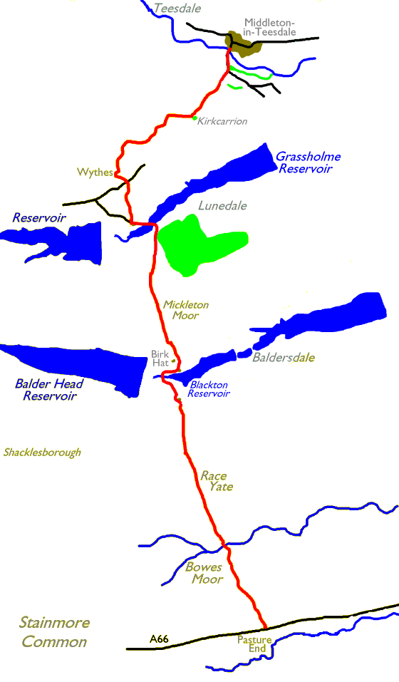
You will not persuade any bus drivers to stop at Pasture End. It is
necessary to walk from Bowes, 2½ miles to the east. Rather than
walk alongthe A66, an exceptionally unpleasant experience, use the
Pennine Way Bowes Alternative route between Bowes and God's Bridge, a
few hundred metres south of Pasture End itself. The path lays some 300
metres south of the main road.
Middleton in Teesdale, at the end of the walk,
is both charming and well connected with accommodation and bus routes
to
Barnard Castle (with connections on to Darlington).
|
|
|
| Length: | 10.1 miles / 16.3 km |
| Total ascent: | 1373 ft / 418 m |
| Total descent: | 1800 ft / 549 m |
| Estimated time: | 3 hrs 38 mins |
Click on
any thumbnail image in this gallery to display the corresponding full
size
image. The images are access protected through a cgi script to prevent
hotlinking. If you encounter problems while trying to view the full
size
images, please read the access advice
page.
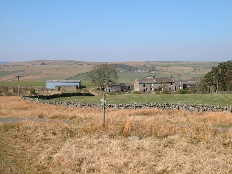
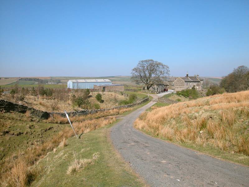
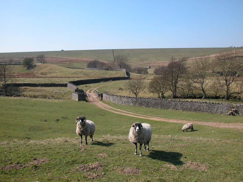
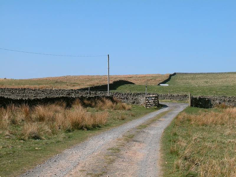
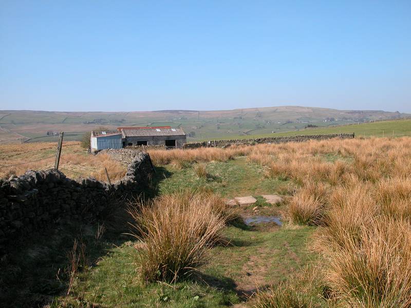
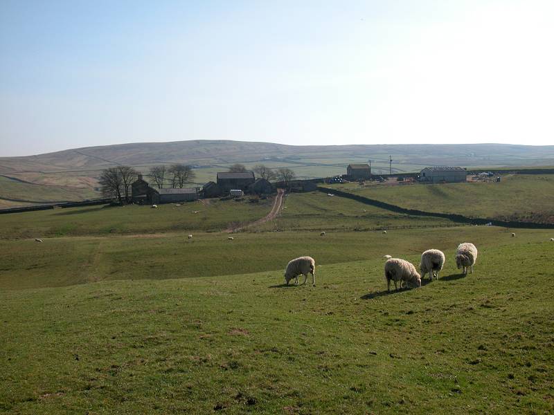
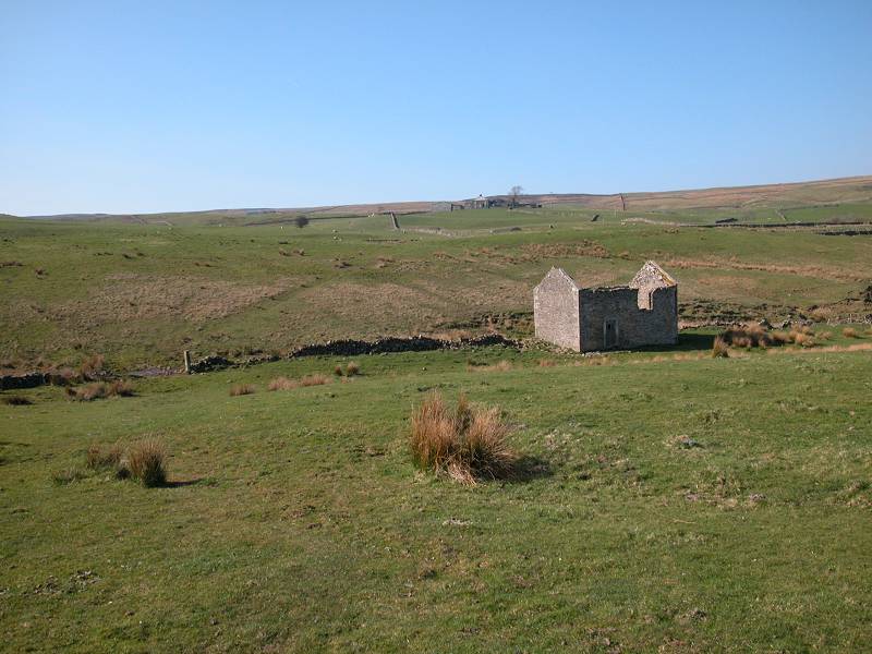
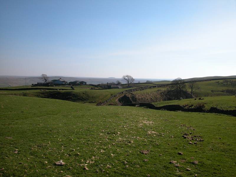
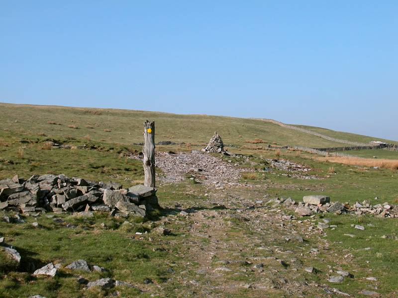
Pasture End
As stated above, buses will not stop at Pasture End so you will have to walk up from Bowes along the alternative PW route just south of the A66 and the river Greta. Pasture End Farm can be seen from some distance across the A66 as you appriach. The latest OS maps show a subway across the road a couple of hundred metres west of Pasture End so use that if you'd rather not risk the road (although frankly it's rarely that busy). The Pennine Way leaves immediately on the west side of the farm building and begins the crossing of Bowes Moor.
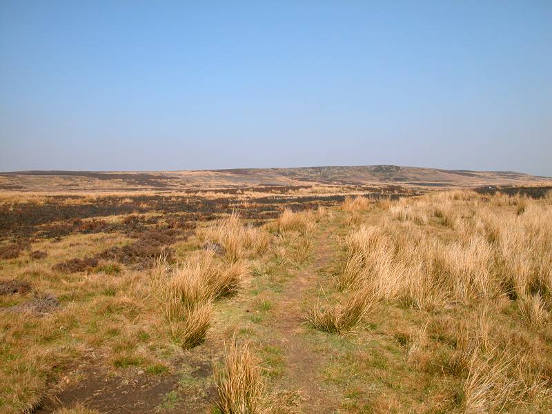
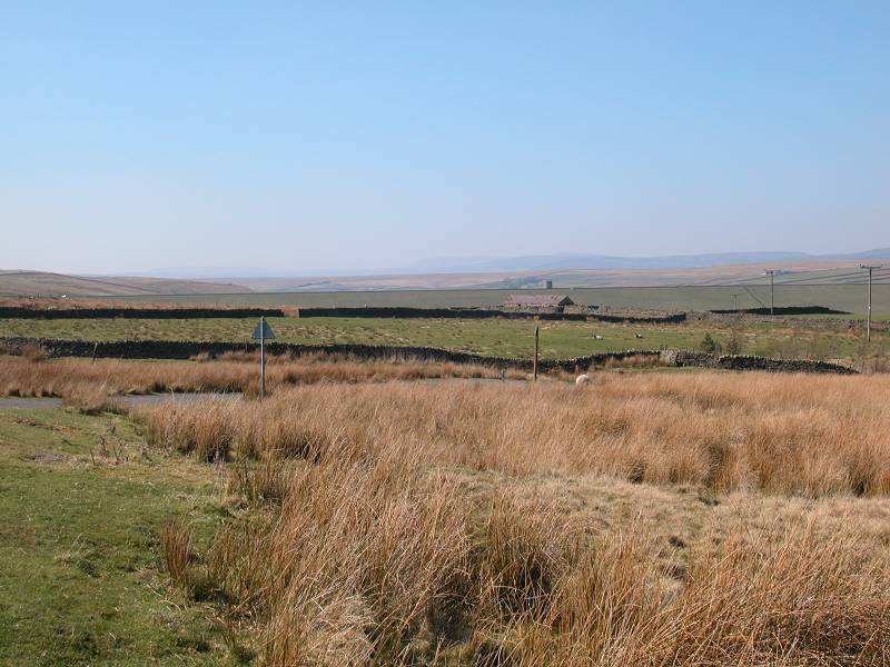
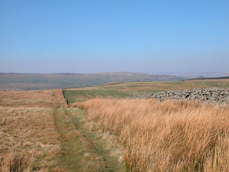
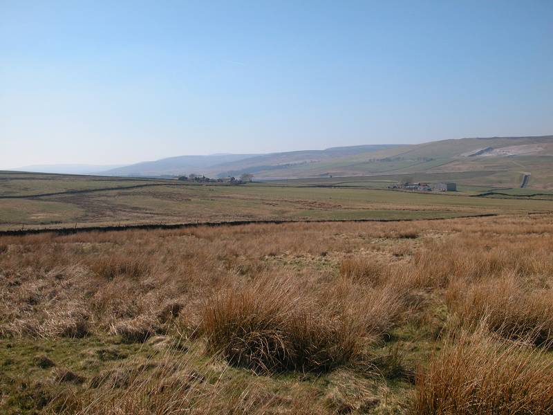
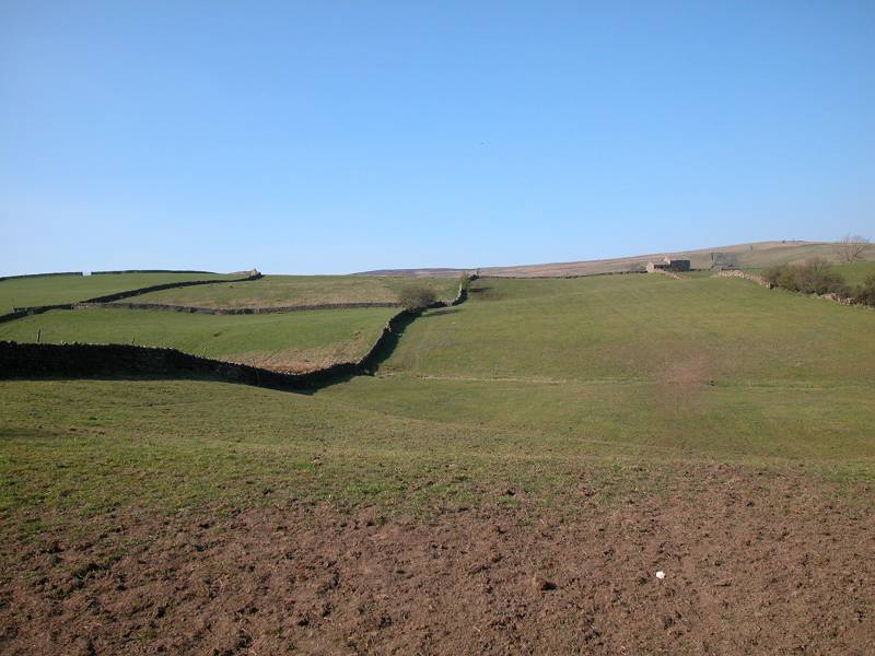
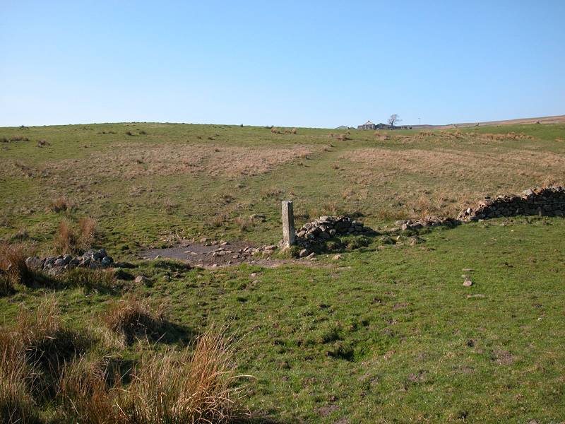
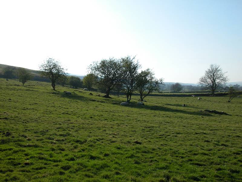
Bowes Moor
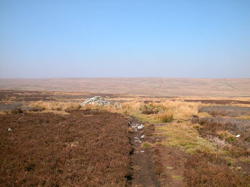
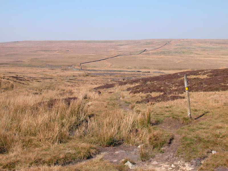
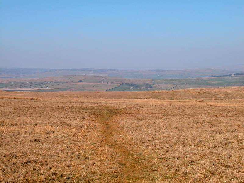
There's not much to say about Bowes Moor, save that it's remarkably wild and empty even by the standards of the Pennine Way. The contrast to the busy road behind you is total. A generation of Pennine Wayfarers have eroded a clear path across the moor and there is no need to resort to map and compass work, though the moor is not a place to be in bad weather. After some five minutes of walking the roar of traffic behind you dies away and all is serene peace - the sound of the wind, and maybe a skylark or the occasional grouse, are all you will hear.
Bowes Moor
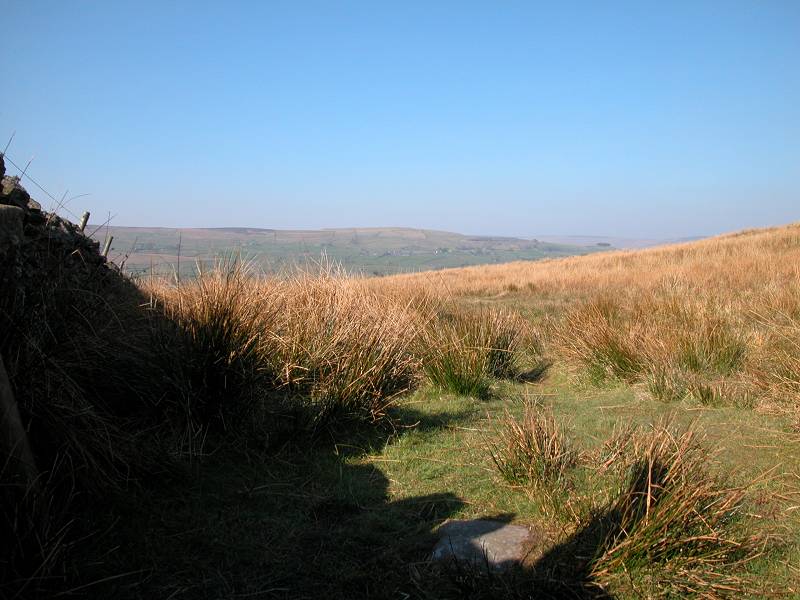
The path rises gradually, and curves gently around to the west (left). The panorama is one of spectacularly empty moorland, in all directions. Over to your right there's a bit of an edge and that's pretty much the only feature. Look to the northwest (second image above). What do you see? Nothing. That's Stainmore Common, and it goes on like that for countless miles as far as the Eden valley.
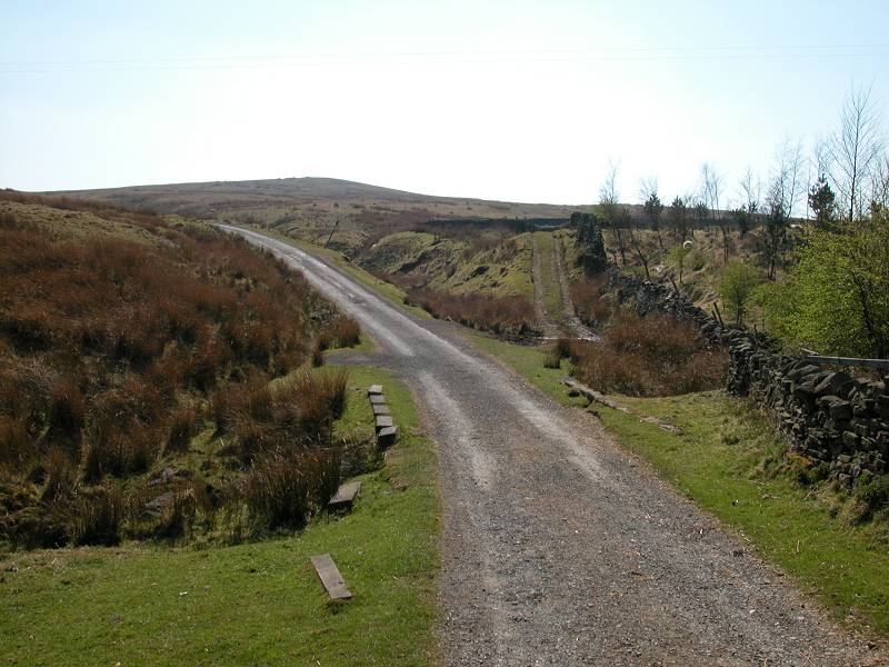
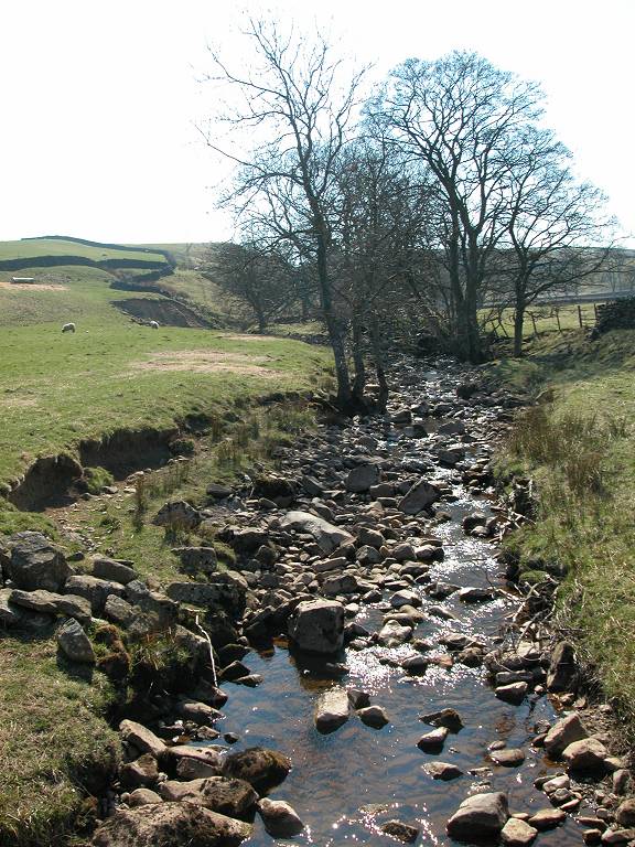
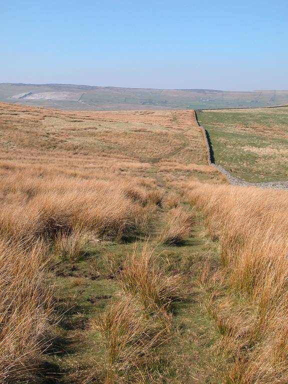
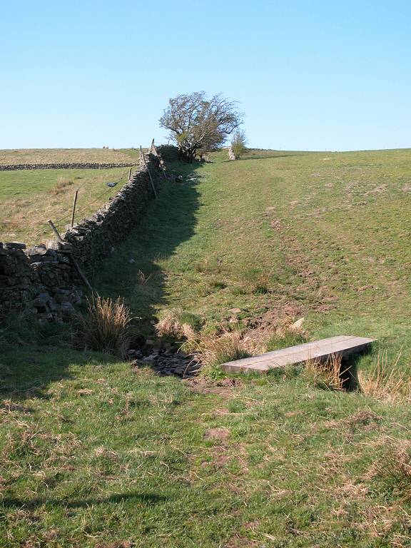
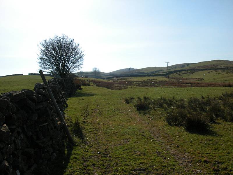
Bowes Moor, approaching Deepdale Beck
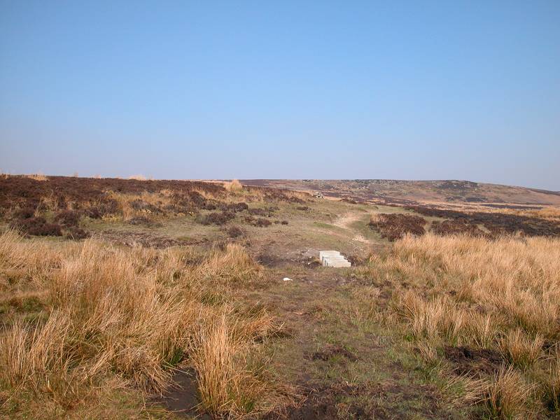
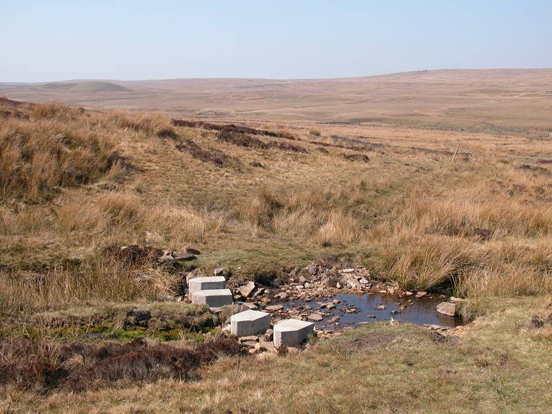
The path tops a slight ridge and begins to descend to the shallow depression of Deepdale Beck, beyond which you'll spot a drystone wall stretching away to the north. The Pennine Way will be accompanying this wall shortly. Make your way down to the beck. The path crosses a couple of watercourses, which are helpfully provided with concrete stepping stones. A bit of a pity that natural stone couldn't have been used, for the concrete blocks do rather detract from the wilderness setting.
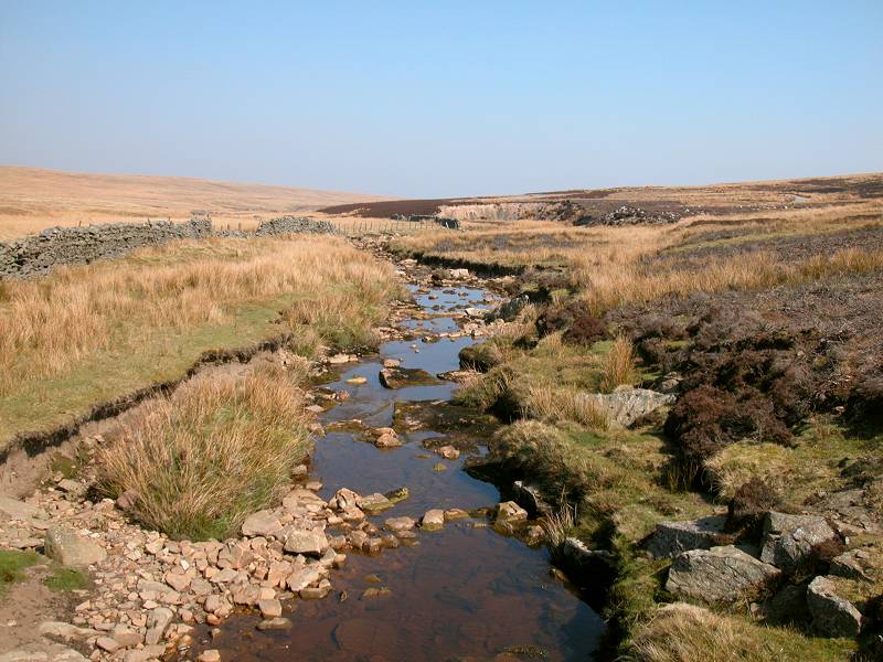
The environs of Deepdale Beck
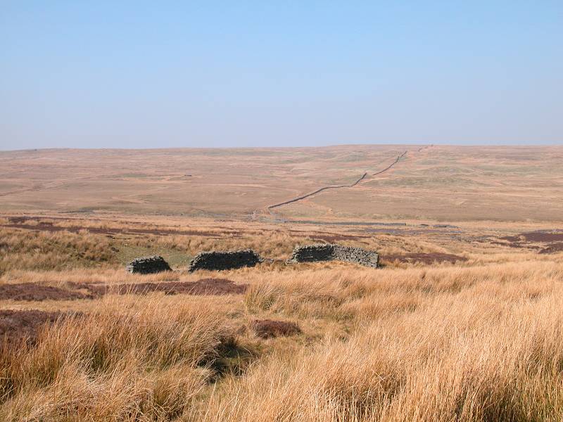
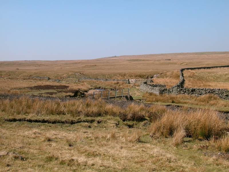
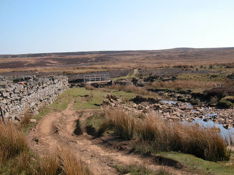
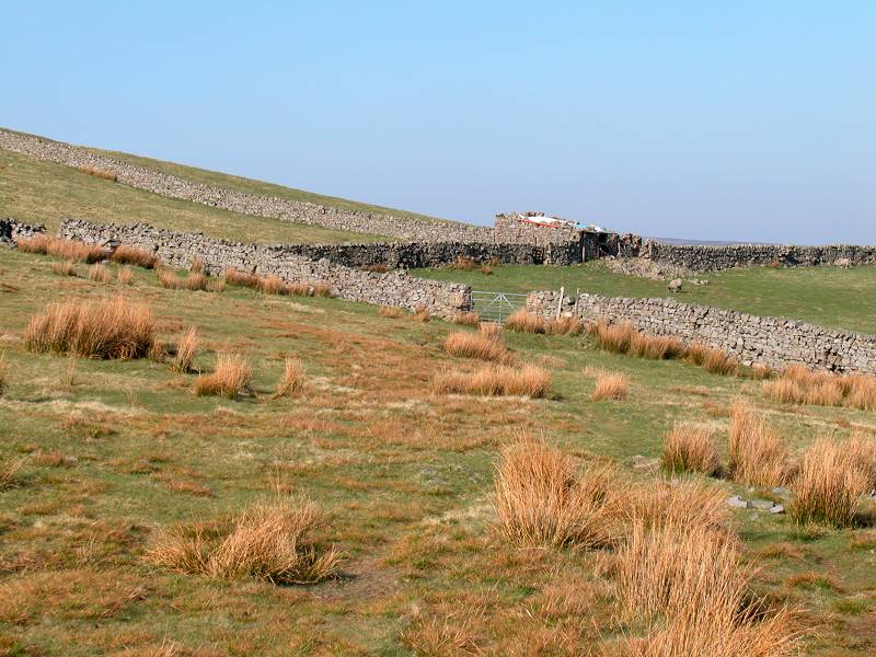
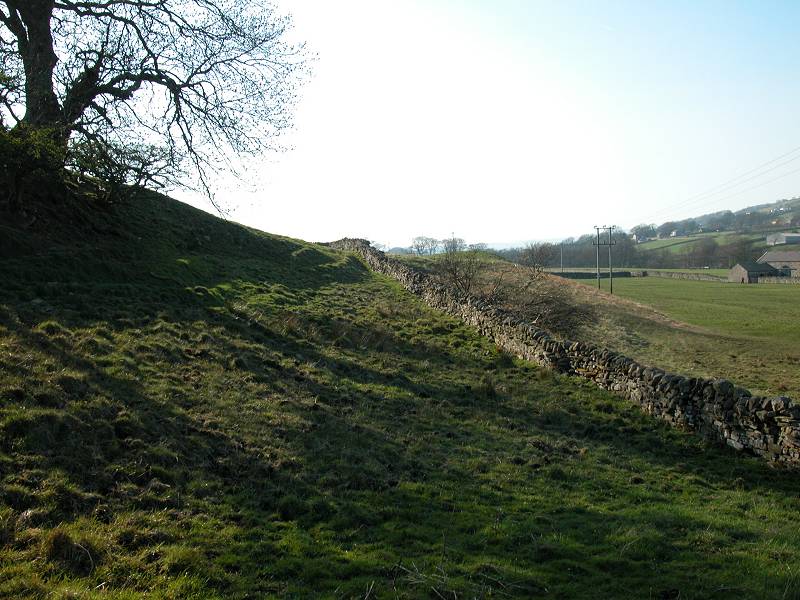
Cross Deepdale Beck by the footbridge. There are signs of farming (or at least grazing) activity here, with a small cluster of gates and fences and stone walls, and a recently constructed rough track heading east - west along the valley floor. Ignore the track and continue northwards, along the left (west) side of the stone wall rising to Race Yate.
Deepdale Beck
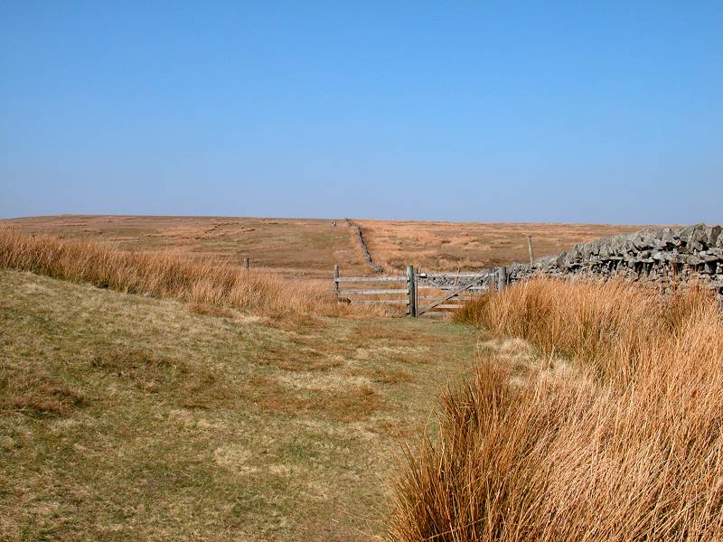
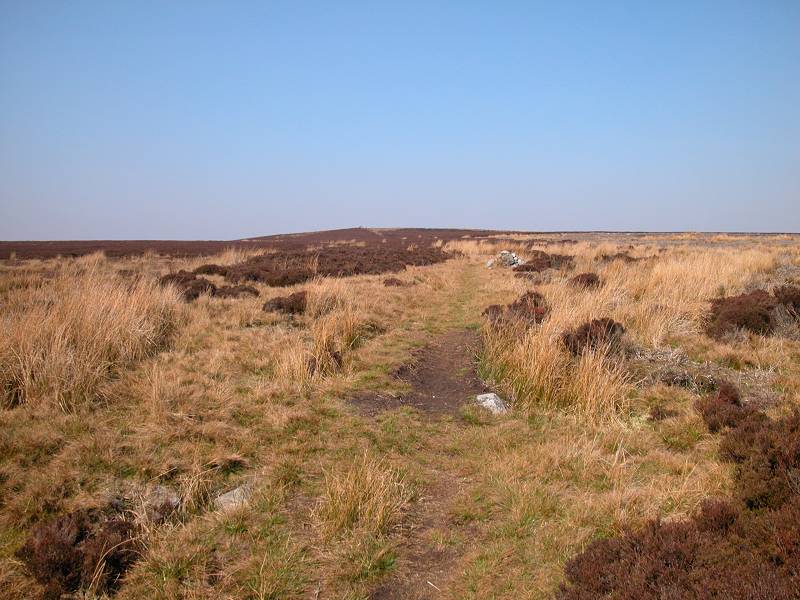
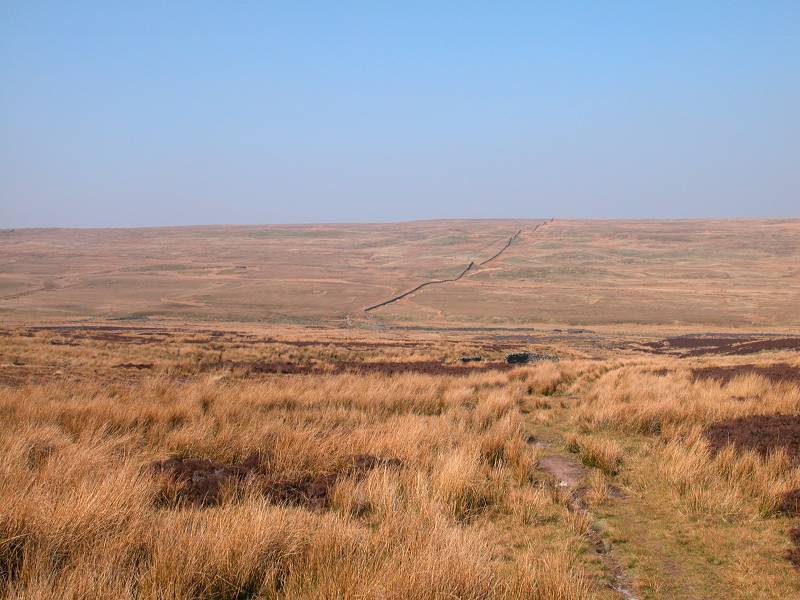
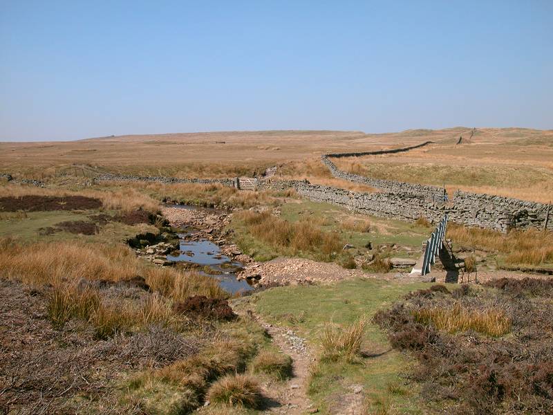
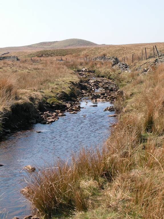
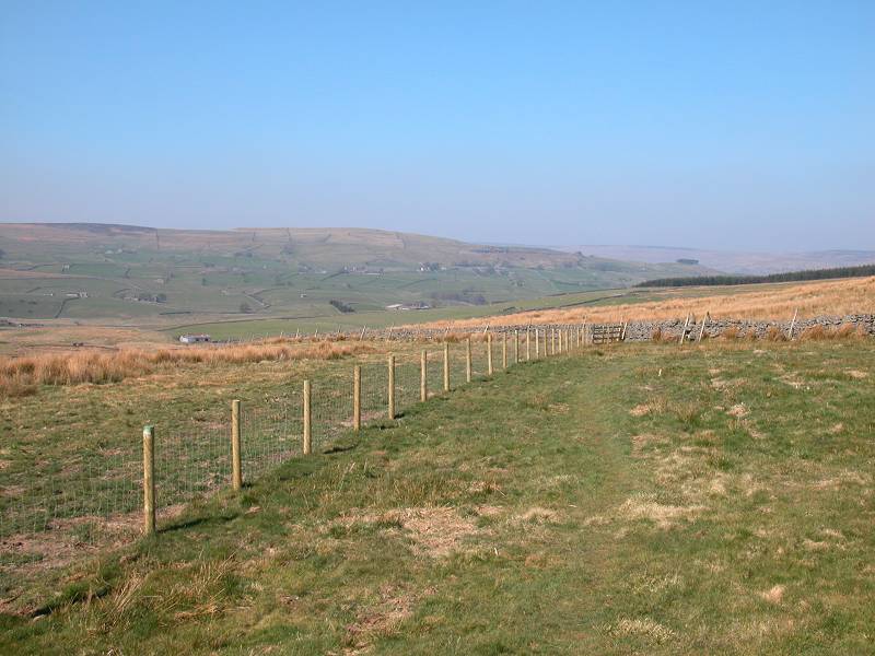
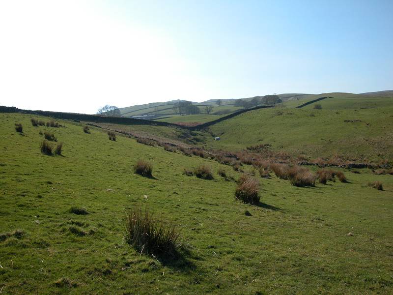
The Pennine Way from Deepdale Beck to Race Yate
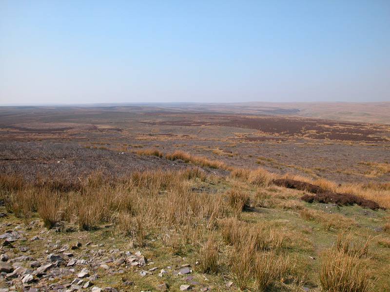
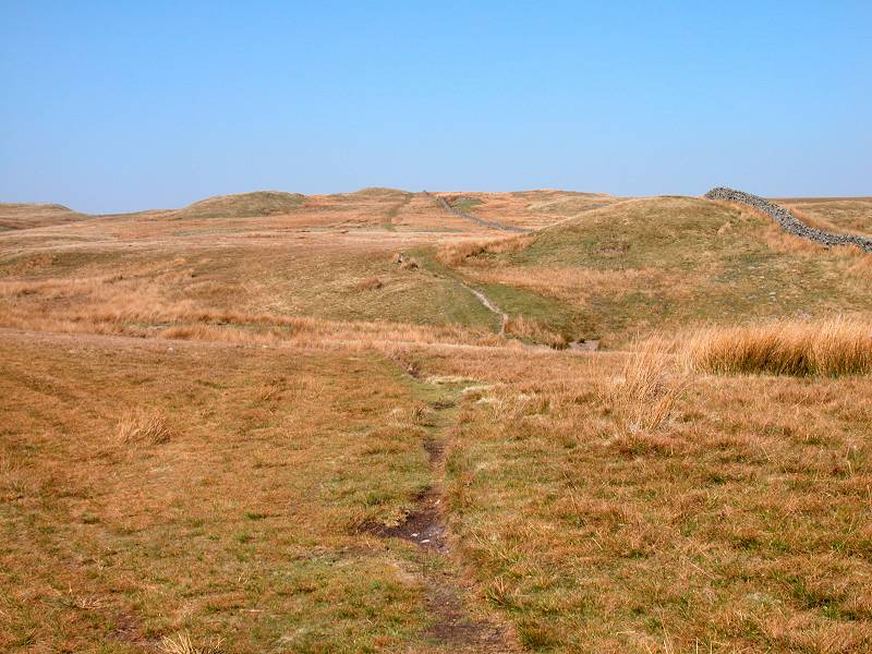
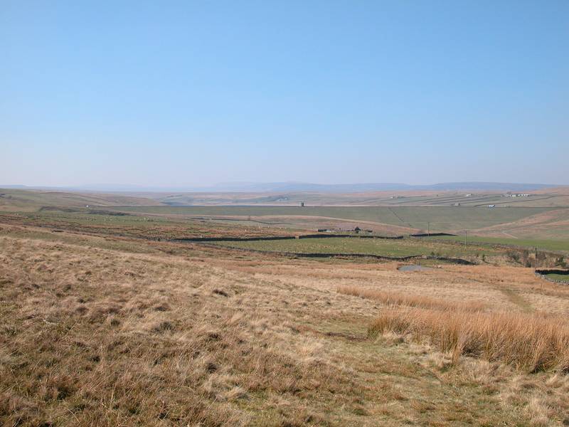
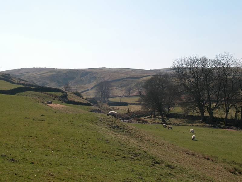
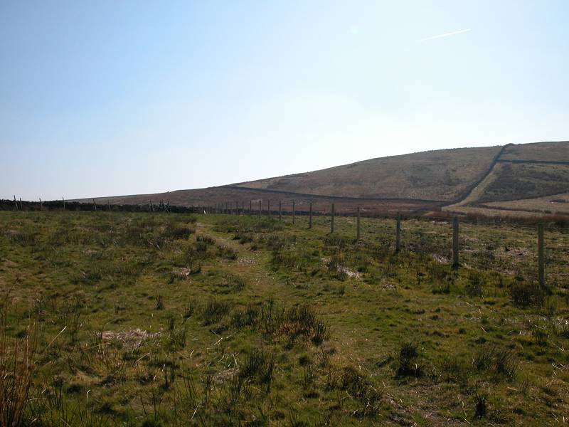
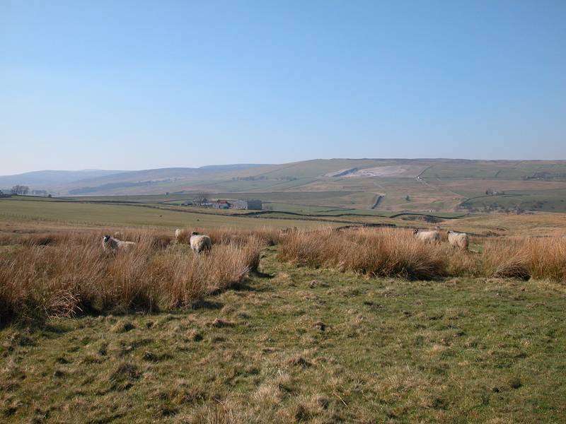
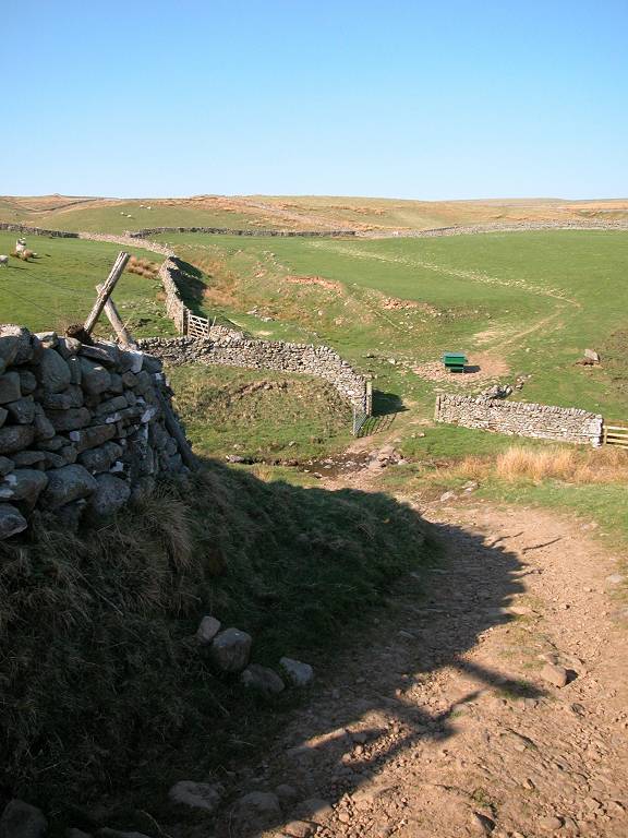
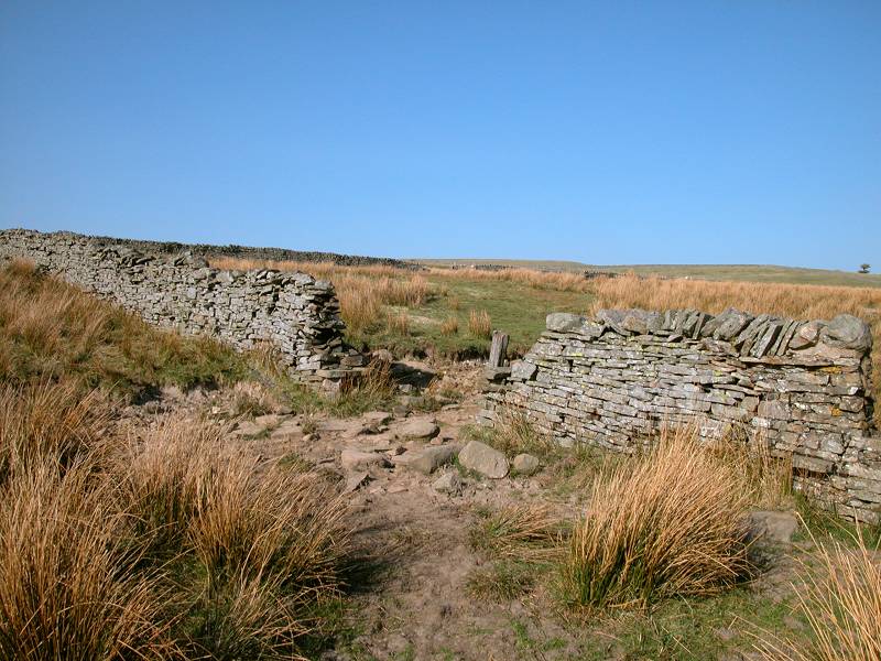
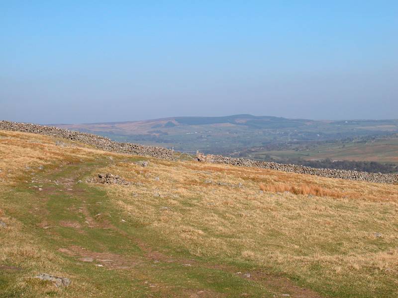
Remarkably, it's a good mile from Deepdale Beck up to Race Yate, with the path accompanying the wall throughout. You cross a couple of minor watercourses including Knotts Sike, after which the path can tend to get rather sloppy after rain. Once you reach Race Yate, the minor watershed between Deepdale and Baldersdale, a view begins to open out to the north.
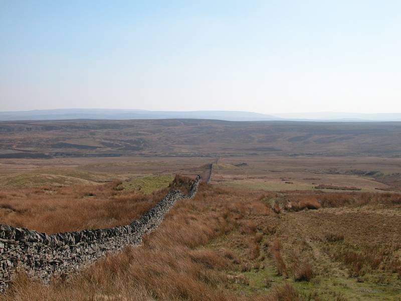
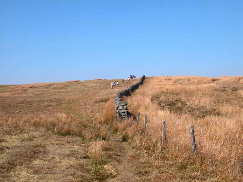
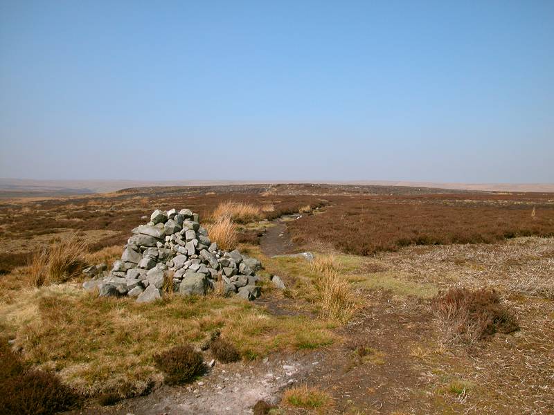
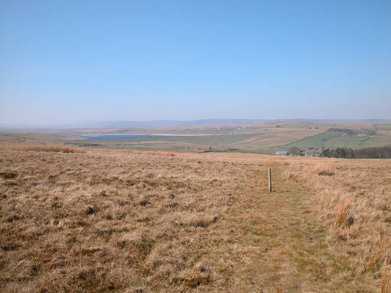
Looking back across the A66; approaching Race Yate; Race Yate
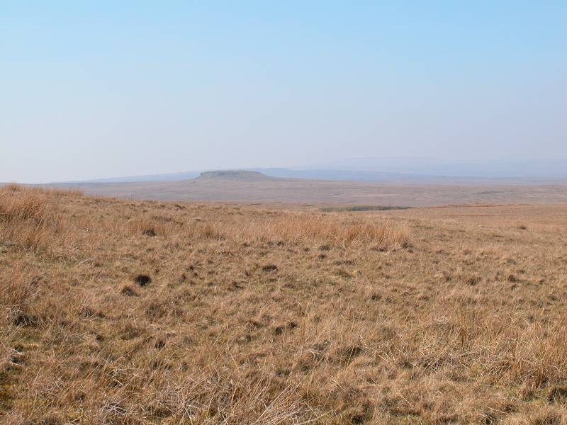
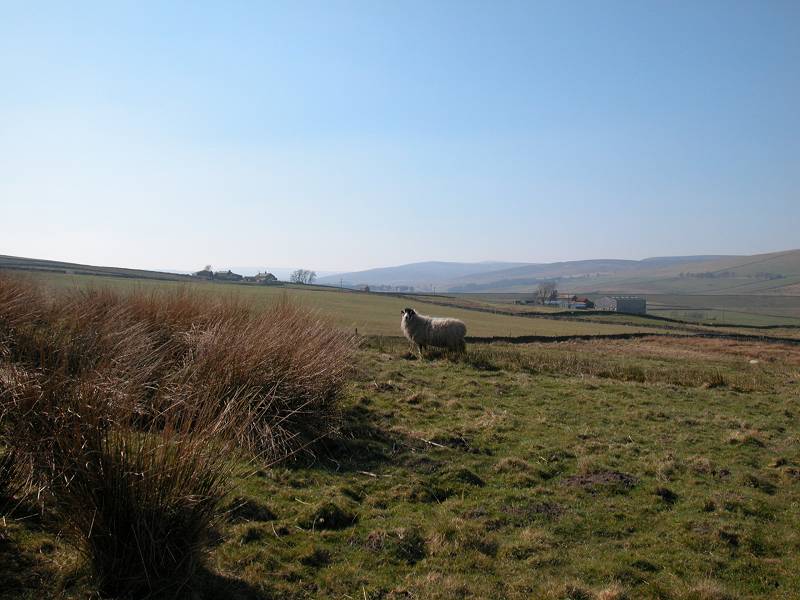
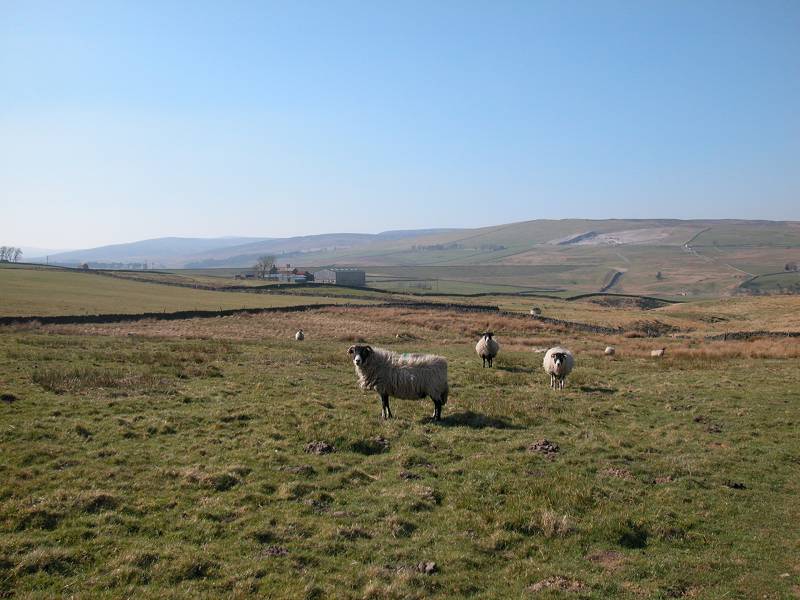
The path on Cotherstone Moor, and a distant view of Shacklesborough
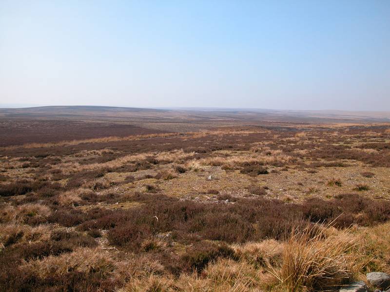
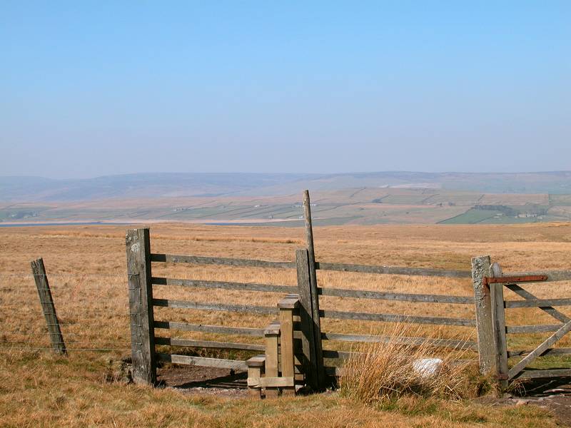
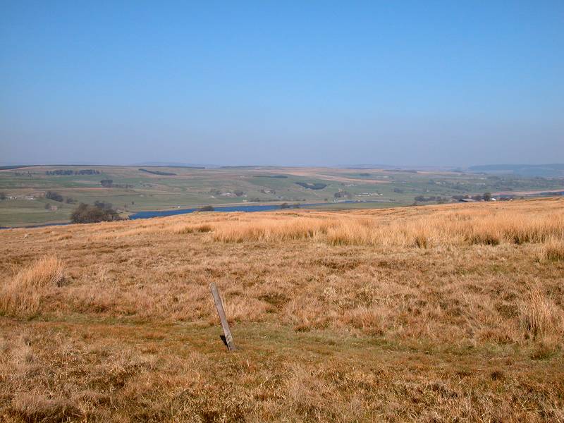
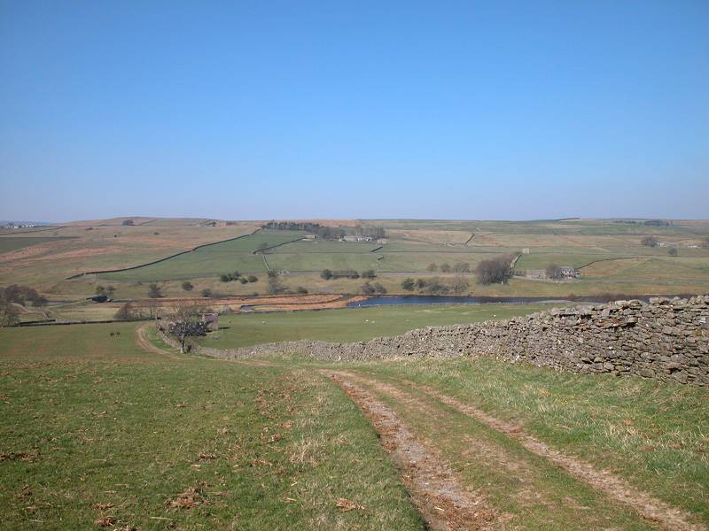
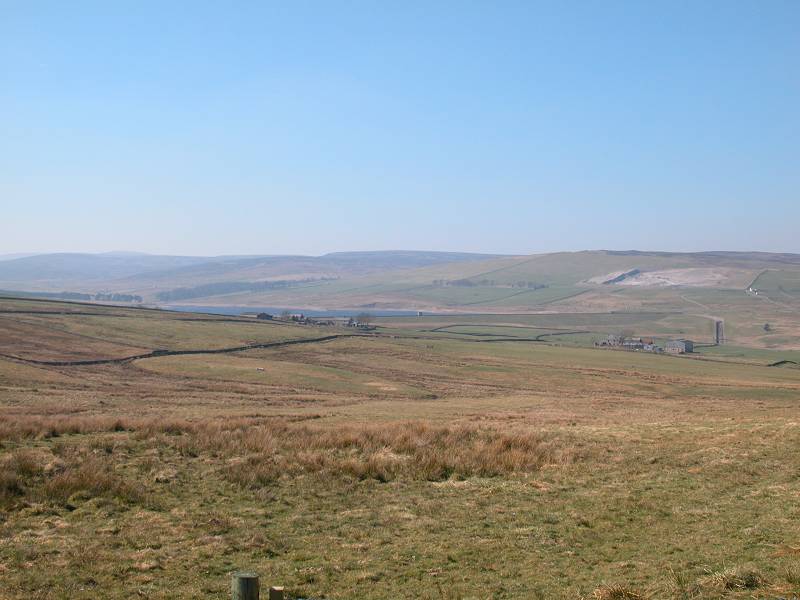
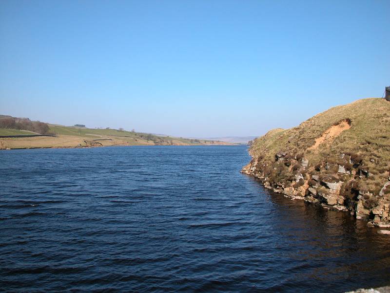
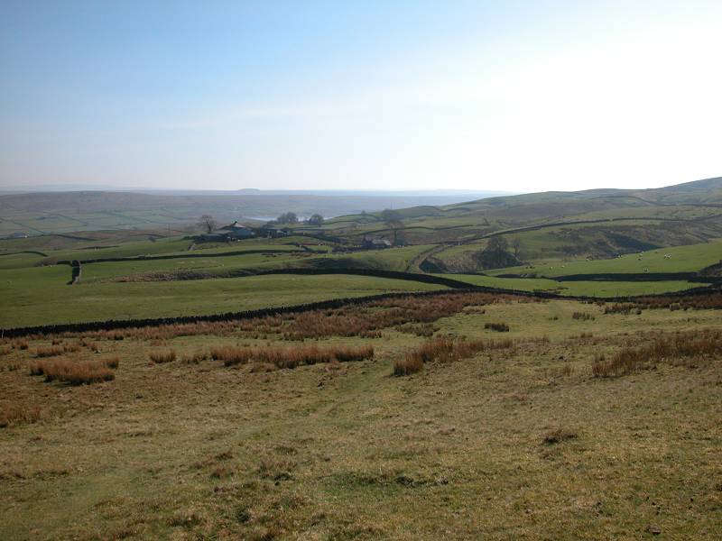
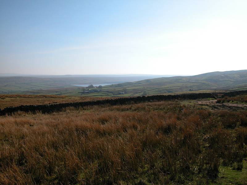
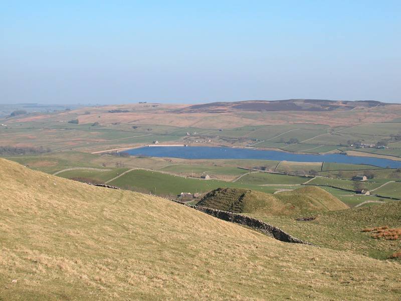
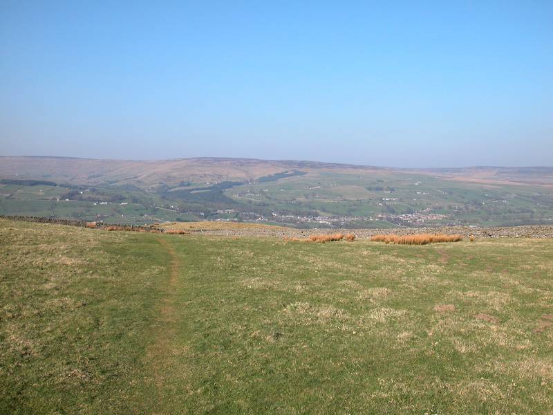
The area beyond Race Yate is known as Cotherstone Moor, and as you descend Baldersdale and its reservoirs gradually come into view below. Balder Head reservoir lies to your left, Blackton Reservoir to your right. Youth hostellers will be looking forward to their night's rest at Baldersdale youth hostel, just below the dam of Balder Head reservoir. Way over to the west you should spot the curious tor of Shacklesborough.
Descending Cotherstone Moor to Baldersdale
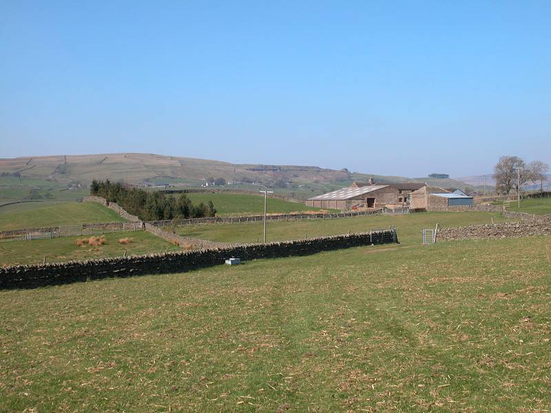
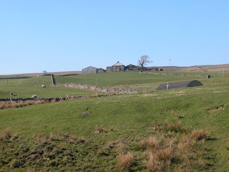
Continue down the slope of Cotherstone Moor, heading for the farm of Clove Lodge near the western end of Blackton Reservoir.
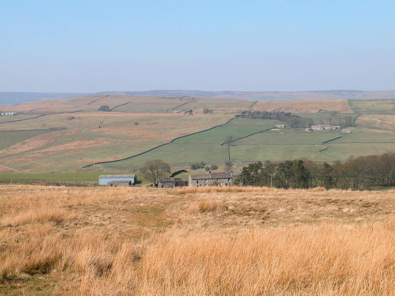
Approaching Clove Lodge; view to the west
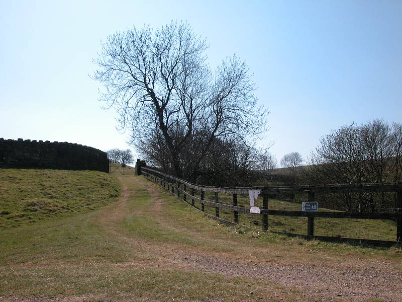
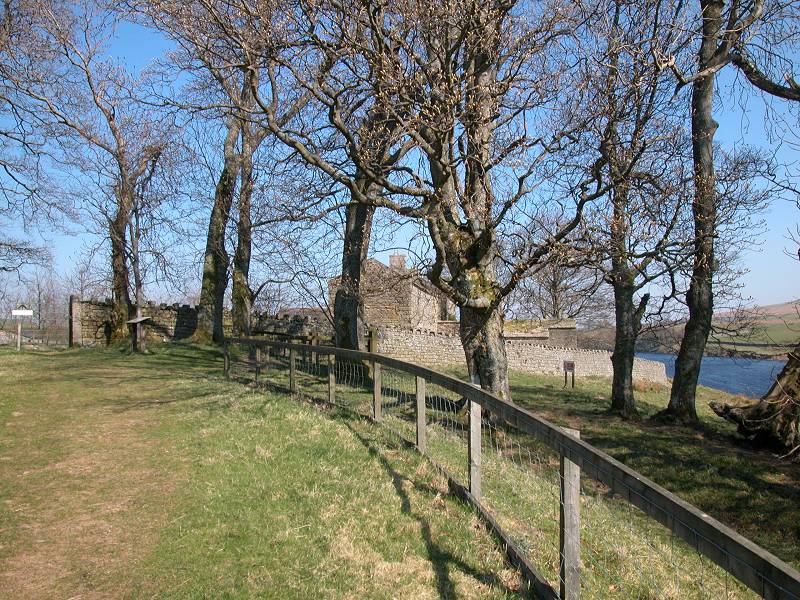
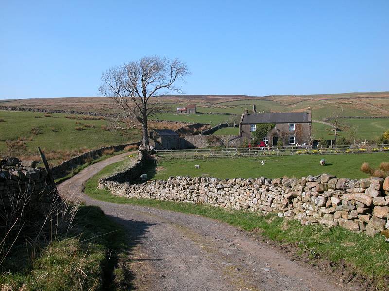
Clove Lodge is a secluded place, partially screened by a stand of trees. Just before you reach it you hit tarmac, and just after you pass it the Pennine Way's Bowes alternative route joins the main route from the right.
The environs of Clove Lodge
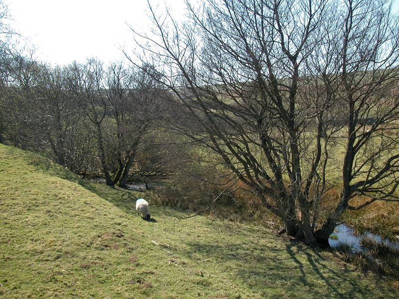
At this point you cross a side stream, a feeder of Blackton reservoir. The track now swings around to the right, past a delightful little dell to the left and lakeside pastures, grazed by sheep, to the right.
The Pennine Way at Clove Lodge
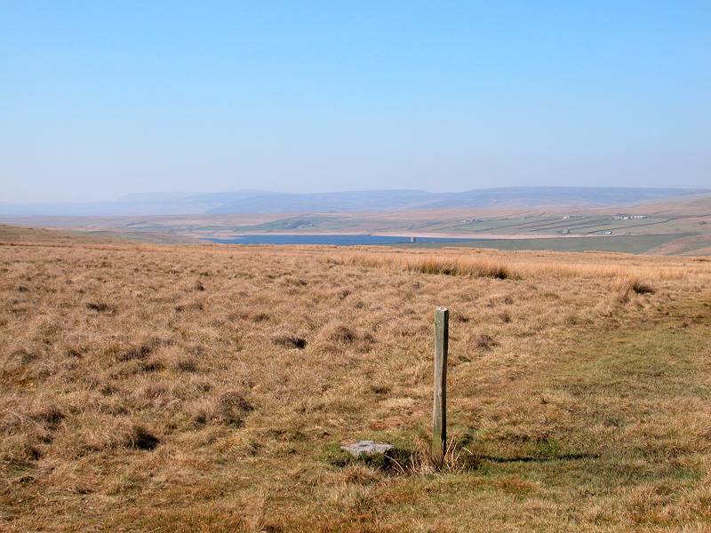
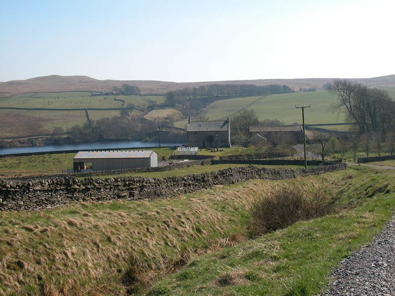
Baldersdale youth hostel; Blackton reservoir; Baldersdale
As you round the head of Blackton reservoir, you reach a junction of rough vehicle tracks. To the left is the access drive to Baldersdale Youth Hostel. The Pennine Way goes to the right, heading for Birk Hat farm.
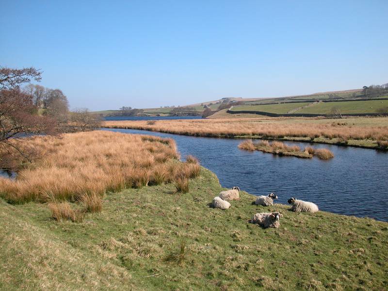
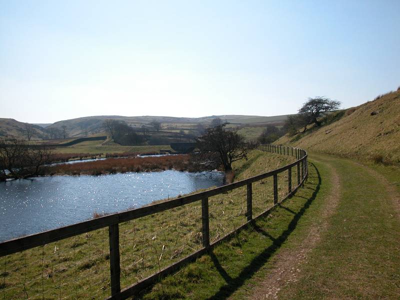
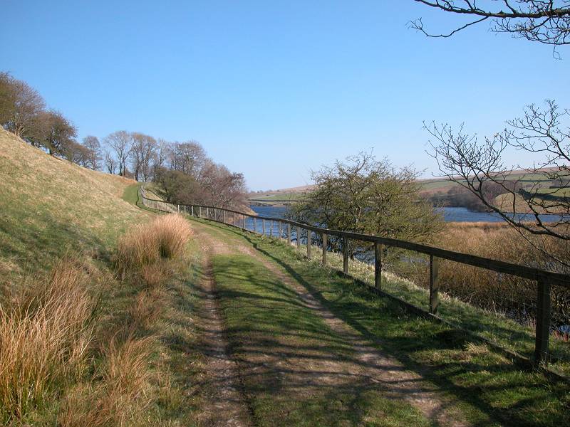
The outflow stream from Balder Head reservoir; Blackton reservoir
The path to Birk Hat
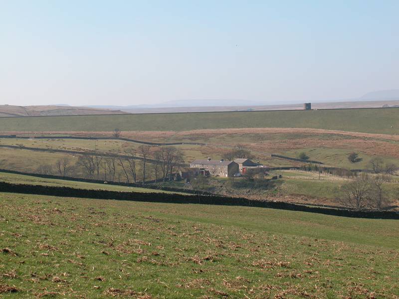
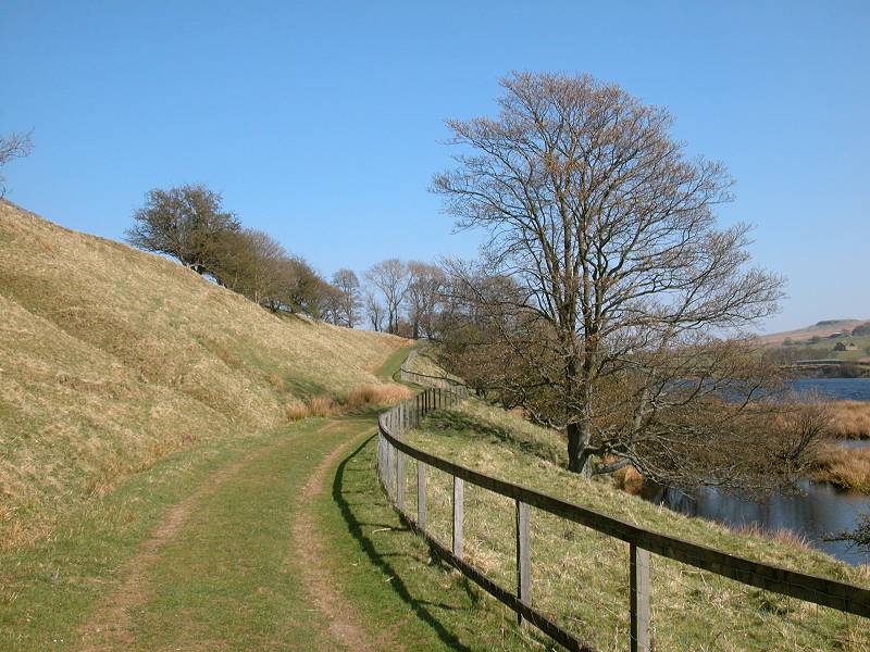
You now cross the runoff stream - presumably the river Balder, though the map doesn't say - from Balder Head Reservoir. At the time Wainwright wrote his guide in the mid sixties, Balder Head boasted the biggest earth dam in Britain. From here the path continues along a pleasant drive, with a fence along the reservoir side. Here, as near as can be determined, is the halfway point of the Pennine Way.
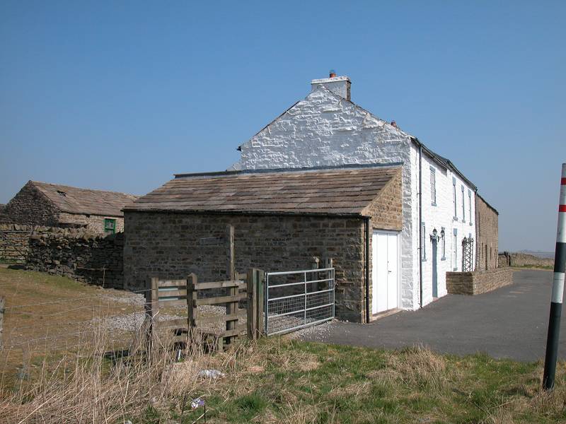
Birk Hat Farm
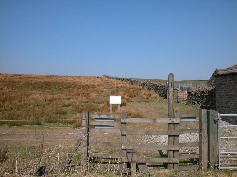
As you approach Birk Hat farm turn left onto its driveway and head north, towards High Birk Hat farm a couple of hundred metres up the slope. Birk Hat is not unknown - in fact it found national fame in the 1980's when its owner was named Woman of the Year. Hannah Hauxwell was an elderly lady who had run the farm alone, for some decades, without the benefit of mains water or electricity. She became the subject of a TV documentary, "Too Long A Winter". Retired from the farm now, Hannah lives further down the valley and the farm itself has been taken over by a trust. A little further up the lane, adjacent to High Birk Hat, a pasture has been designated as Hannah's Meadow and now acts as a local nature reserve. There is an interpretative notice and a duckboard path along one side of the meadow.
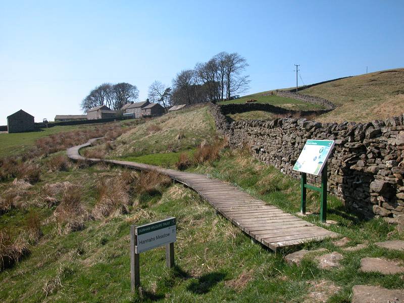
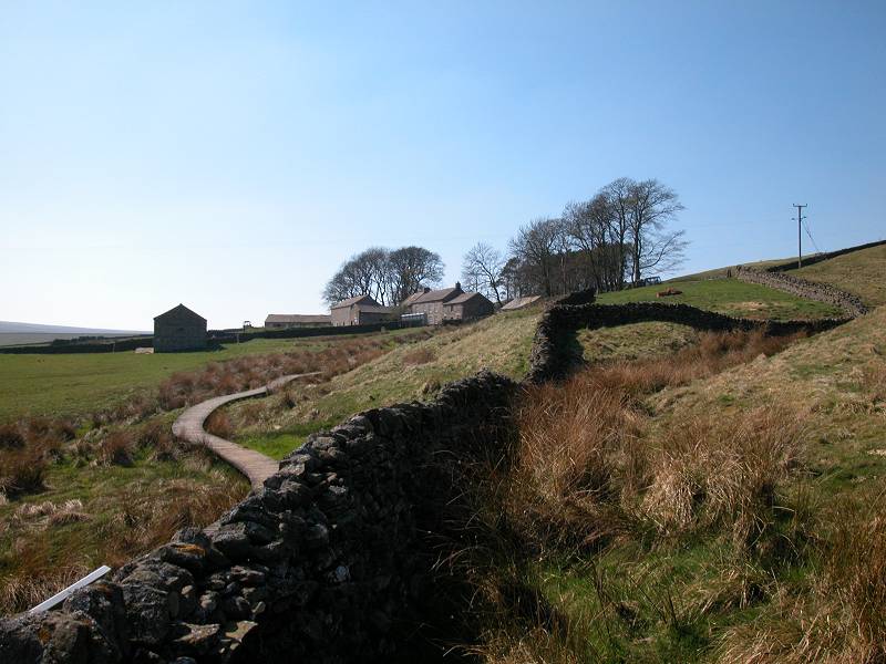
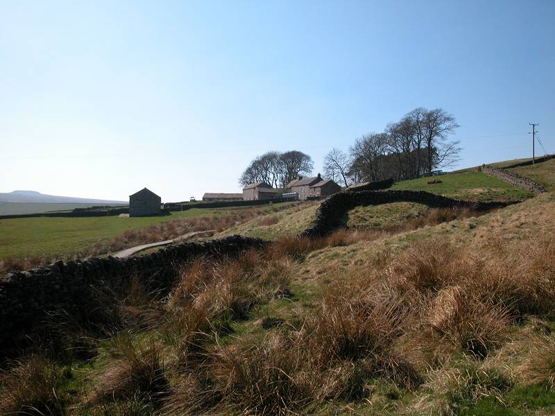
High Birk Hat and Hannah's Meadow
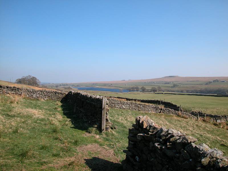
The Baldersdale road
Pass High Birk Hat and follow the drive out to the road that runs to Romaldkirk along the north side of Baldersdale. The Pennine Way continues across the road to the north, to cross Mickleton Moor.
Mickleton Moor
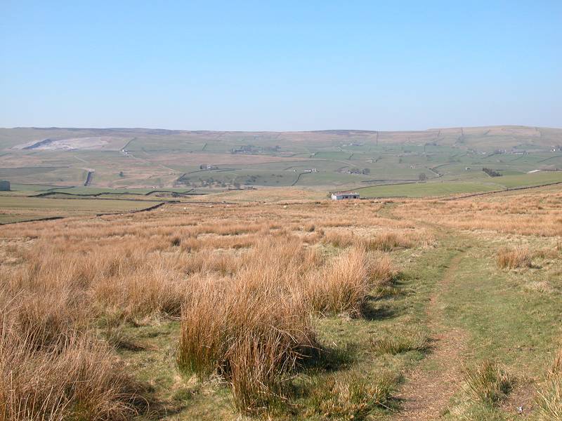
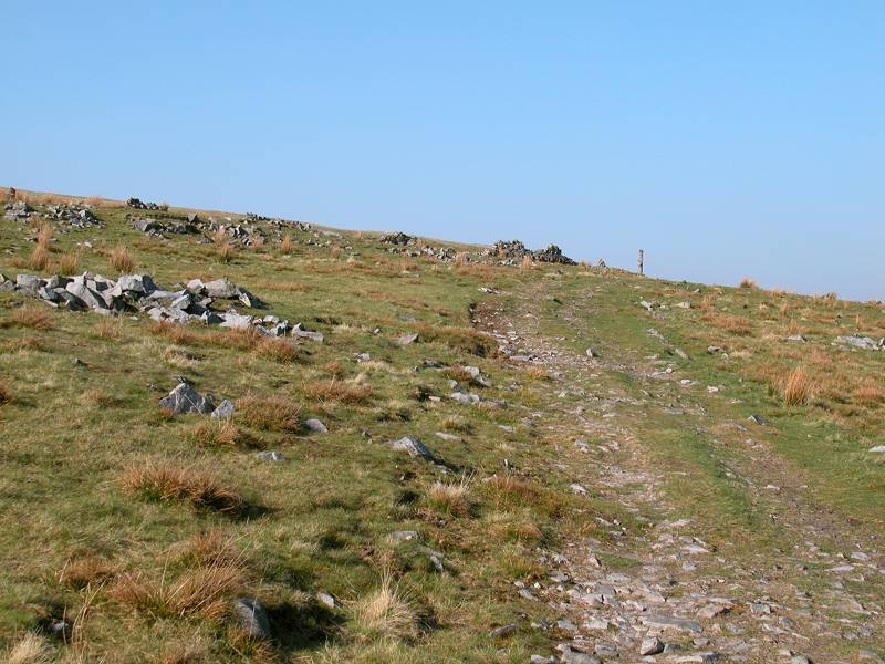
Mickleton Moor is an area of rough pasture. It's nothing like as wild or as extensive as Bowes Moor and you soon reach the summit at Hazelgarth Rigg, just one enclosure wall north of the farm. The path veers slightly northeast from here, heading to the stile at the northeast corner of the succeeding pasture. From this point you begin to get a view into the next valley, Lunedale.
The Pennine Way on Hazelgarth Rigg
Descending to Lunedale
You need to keep the map or guidebook handy now, for the Pennine Way runs across a succession of small pastures, mainly on the diagonal. Wainwright's guidebook is more than handy here, for it depicts each stone wall and is an invaluable guide to navigation.
Descent to Lunedale
Beck Head
You pass Beck Head farm, which appears to be no more than a small cluster of storage sheds, and then How Farm, beyond which the PW officially cuts across a pasture though in practice it's more straightforward to go round it by the vehicle tracks.
Just after How Farm you go across a stile into a small copse of trees which, by the looks of it, has just been recently planted. On the far side of this little copse you suddenly get a view of the narrow bridge across Grassholme Reservoir. The Pennine Way crosses this bridge but first you have to negotiate a stone wall, with a fair drop down its far side, via stone steps protruding from the wall. Care is required.
Approaching Grassholme reservoir
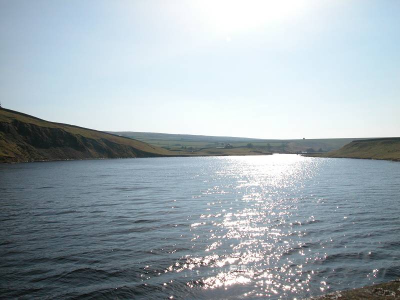
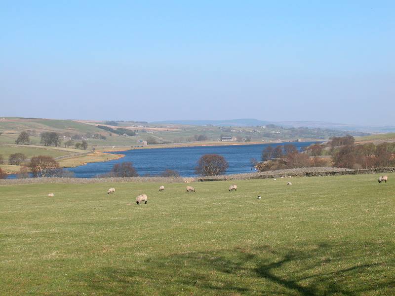
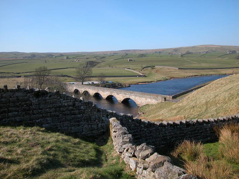
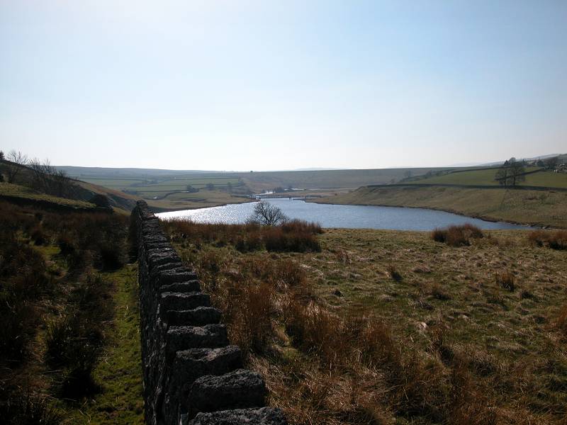
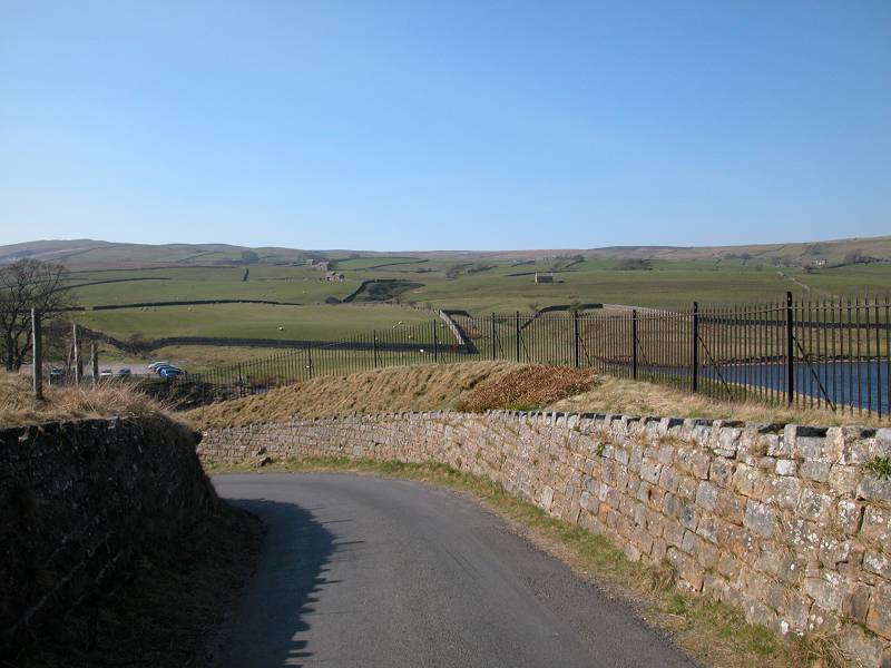
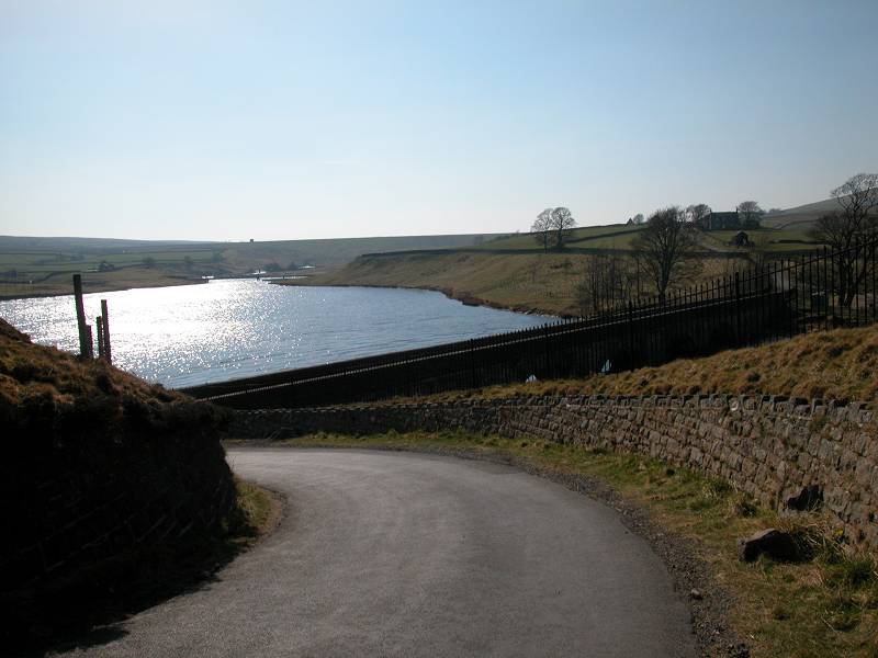
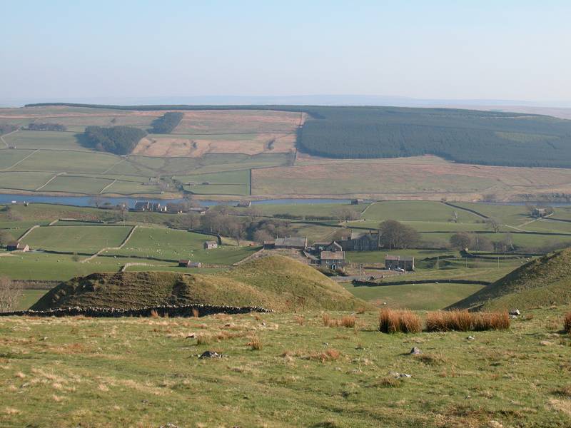
Grassholme Reservoir
The Grassholme Reservoir bridge is a lovely spot. The bridge replaced the original one that crossed the Lune here before the reservoir was raised. You're hemmed in by iron railings on the approach to the bridge, for reasons best known to the water authority. The bridge itself provides splendid views both up and down the reservoir, including its steep sandstone banks. From the bridge continue along the road as far as the farm a couple of hundred metres distant, then turn right through the farmyard.
Road to Grassholme farm
Grassholme farm and pastures
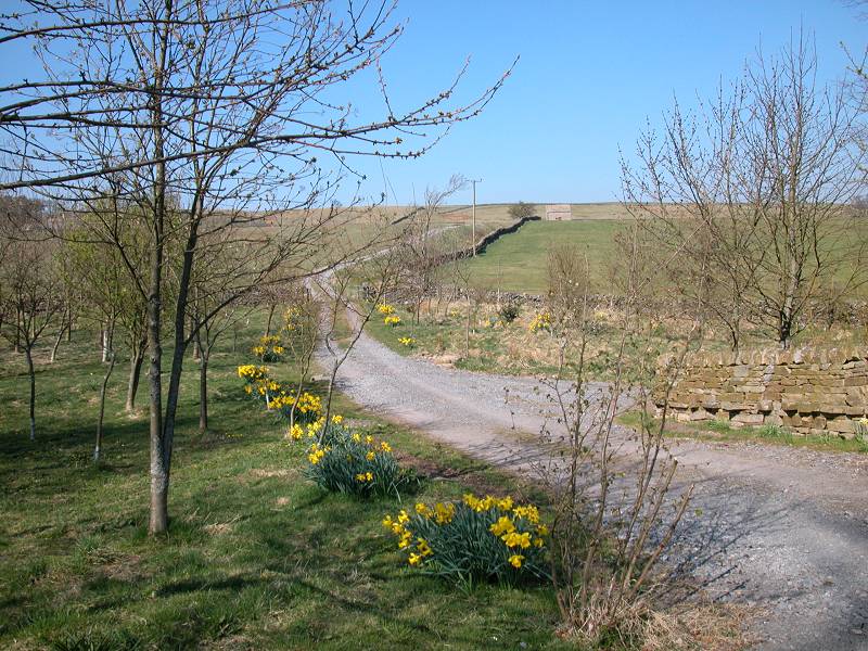
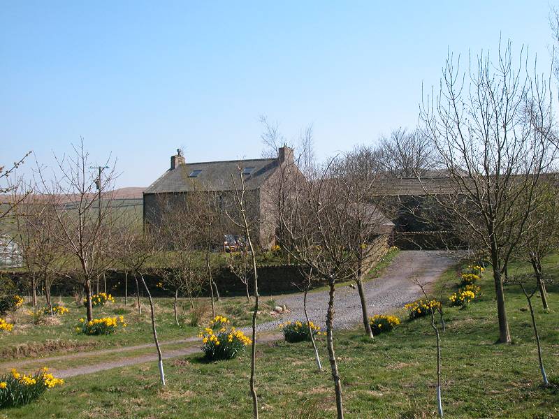
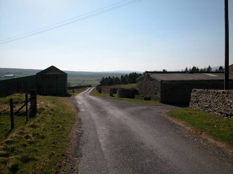
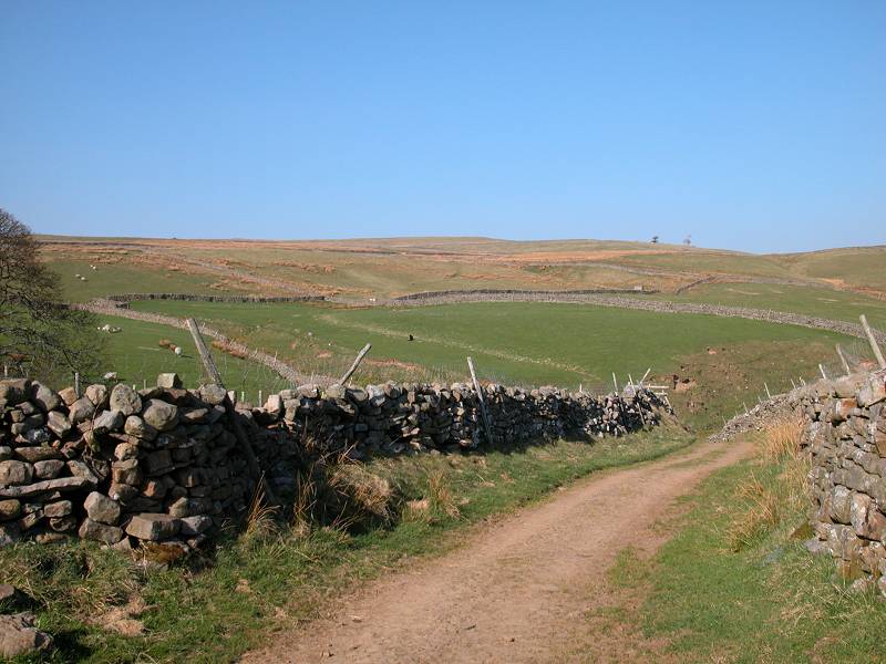
There now follows a mile and a half of pastures, walls, stiles, fences and gates, and the complex route that the PW threads among them serves to get you across the ridge between Lunedale and Teesdale. This ridge doesn't appear to have a name but I've called it Wythes Hill after the farm that most of our route appears to cross. First, though, you have to get yourself away from Grassholme farm, which isn't as easy as it looks. In the pasture immediately beyond the farmyard you're confronted with what looks like a junction of tracks. Take the one to the left, going uphill.
The Pennine Way between Grassholme Farm and Wythes Hill Farm
Once again you should rely on Wainwright's guide and navigate by the stone walls and other enclosure boundaries. The path climbs steeply at first and then reaches a stretch of undulating country. You cross a plank bridge and then approach a roofless barn, leaving it to your right.
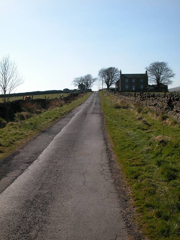
Approaching the B6276 and Wythes Hill Farm
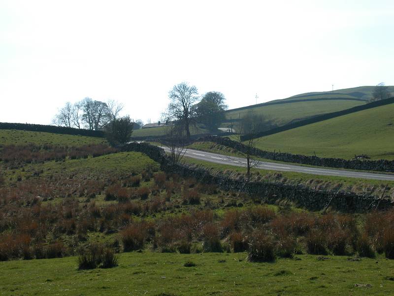
Just past the barn the Way goes down into a small depression and goes slightly left, to emerge onto the B6276 road between Middleton in Teesdale and Brough. Go straight across the road, following the access drive to Wythes Hill Farm.
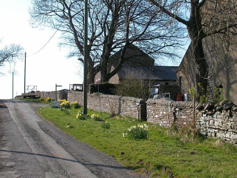
The environs of Wythes Hill Farm
The track runs uphill well to the left of the farm buildings, then swings suddenly to the right. Just short of the farm follow the PW sign to the left, leaving the farm buildings directly to your right. A rougher track continues for a short distance to a junction of stone walls. From here the track gives way to pastures once again. Sometimes the route of the PW is evident, sometimes it's not. Once again, rely on Wainwright's guide and find your way by the field boundaries.
Scenes on Wythes Hill
The Pennine Way on Wythes Hill
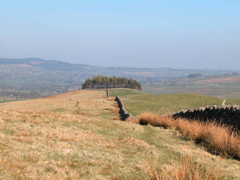
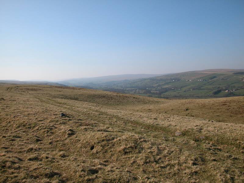
It seems to go on for ever, this section. Pasture follows pasture, stone wall follows stone wall. The path climbs gradually but inexorably. The views of Grassholme Reservoir down to your right get steadily higher and more distant. Look out for a circular stand of trees, enclosed by a ring of drystone wall; keep this well to your left and pass below it. From here on the path swings half left and climbs to the top of the ridge.
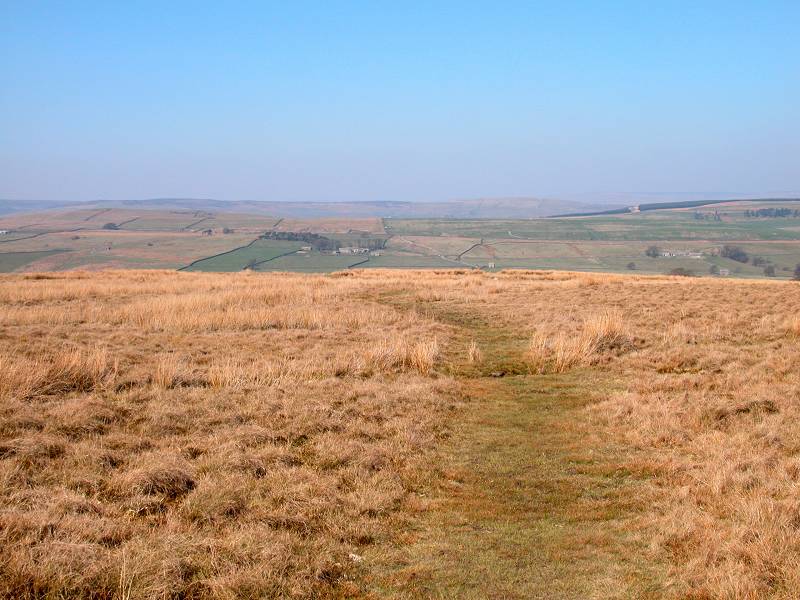
Looking back at Lunedale, and the path on Wythes Hill
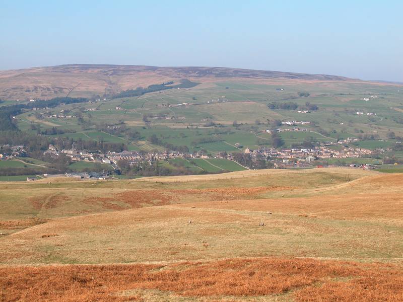
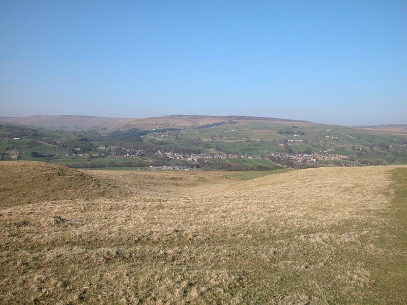
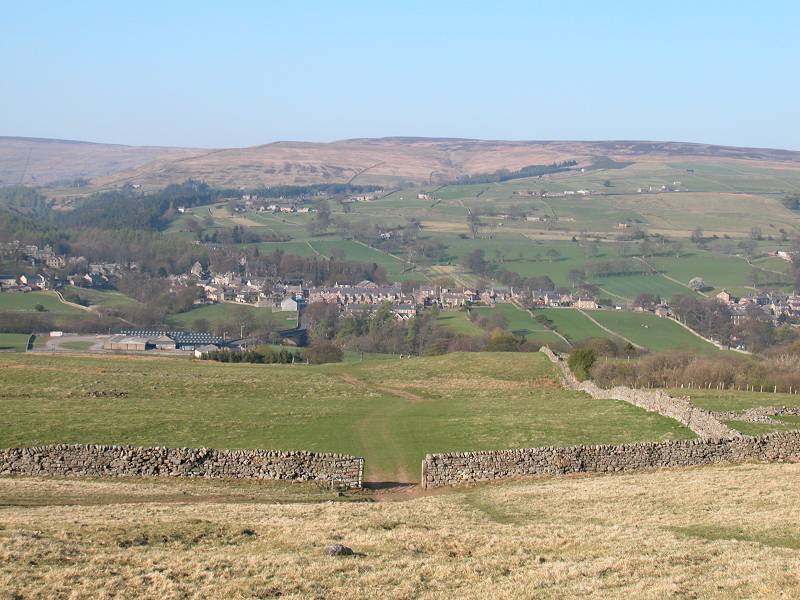
Finally, this endless trek across pastures is rewarded with a sudden view into Teesdale, ahead. Middleton can be seen, down to the right.
The unofficial detour to Kirkcarrion, and Middleton in Teesdale
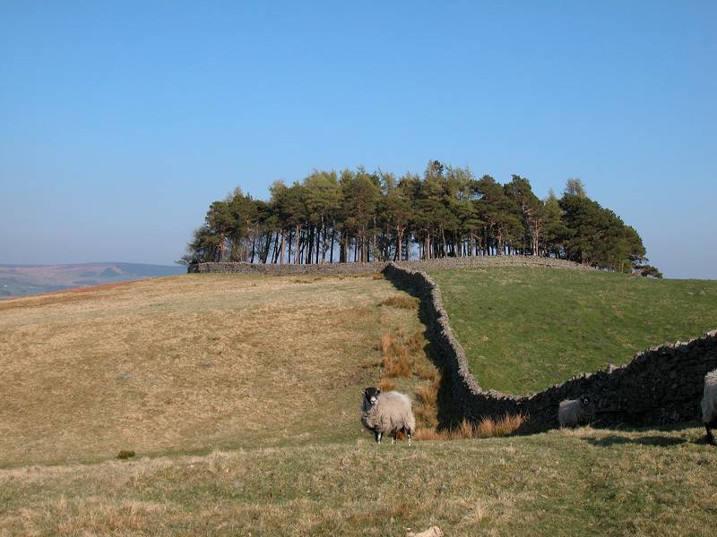
From the ridge top the official route of the PW descends the pasture in a direct line for Middleton, but it's fairly obvious from the paths that a good many walkers are attracted by the tree-capped tumulus of Kirkcarrion about five hundred metres east along the ridge line. Although there is no right of way this is all open pasture and there would appear to be no reason not to take a detour if you wish. Kirkcarrion is a circular plantation of trees ringed with a drystone wall, not unlike the similar pasture passed on the previous slope about half a mile back. According to Wainwright it's reputed to be haunted.
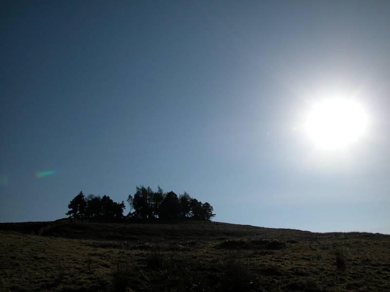
Kirkcarrion
From Kirkcarrion it's easy enough to pick your own way down the slope towards Middleton, There are several paths and ultimately they all converge on a wall corner not far short of the road.
Descending from Kirkcarrion to Middleton-in-Teesdale
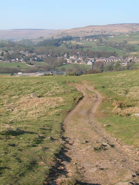
Approaching Middleton
From the wall corner (it's important to find this) follow the route across the final pasture alongside a wall to your right. Once you emerge onto the road simply follow it downhill towards Middleton.
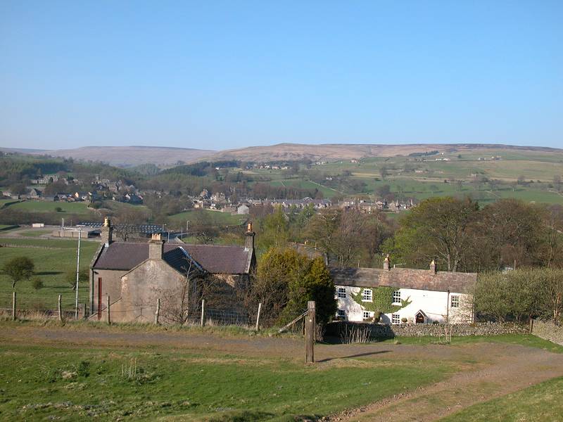
Middleton, and a first look at Teesdale
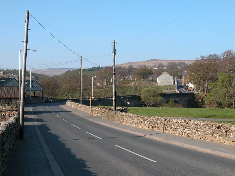
Entering Middleton
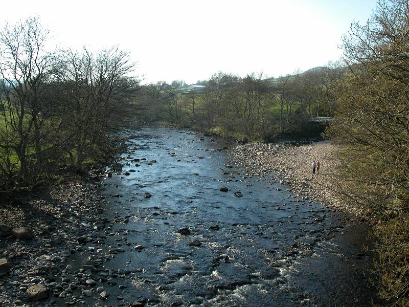
Crossing the Tees
Just before the bridge over the Tees cast a look down the track to the left. This is tomorrow's route. Assuming you're ending your day here leave the Pennine Way proper and walk across the bridge. A short distance further on you come to the road junction at the centre of Middleton. The shops and the bus stop are just to the right.
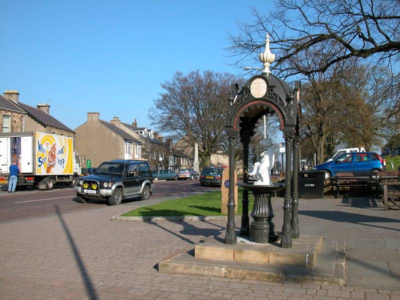
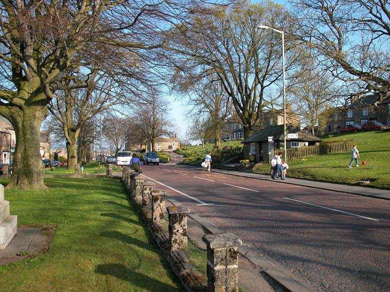
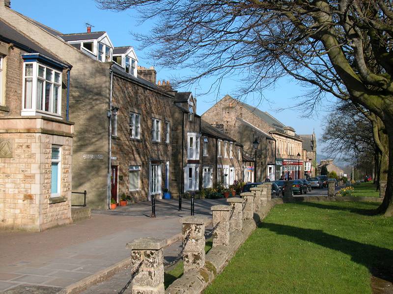
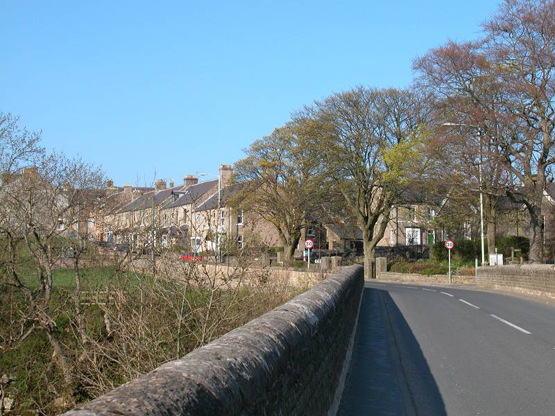
Middleton in Teesdale
Middleton is most charming. Its main street is very wide and features twin strips of village green bordered by service roads, fringed in turn by stone buildings, many of considerable character. Middleton was formerly an important lead mining centre but its industrial era is long gone. It has public transport services to Barnard Castle with connections to Darlington, and there's a less frequent service in the other direction to High Force and Langdon Beck.
![]() Arriva
North East service 95/96:
Barnard Castle - Middleton in Teesdale
Arriva
North East service 95/96:
Barnard Castle - Middleton in Teesdale
![]() Arriva
North East service 75/76:
connections to Darlington from Barnard Castle
Arriva
North East service 75/76:
connections to Darlington from Barnard Castle
|
£5.00
inclusive
of postage / packing. |
| Thwaite to Pasture End | Back to Pennine Way index | Middleton-in-Teesdale to Langdon Beck |
This page last updated 29th December 2004
![]()