
| Pasture End to Middleton-in-Teesdale | Back to Pennine Way index | Langdon Beck to Dufton |
| Pasture End to Middleton-in-Teesdale | Back to Pennine Way index | Langdon Beck to Dufton |
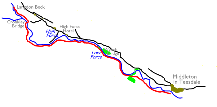
Aside from the river itself Teesdale is quite a feast for the eyes, a succession of pastures and river meadows, stone walls and ribbons of tree cover. There is habitation too, mostly on the other side of the river. Forest-in-Teesdale is typical, an open cluster of whitewashed cottages and farms. The last mile and a half of the walk is a little different in character, the river valley opening out into an area of heath, and the route of the Pennine Way leaving the river to traverse a minor hill before dropping steeply again to Cronkley Farm. The section ends at Langdon Beck where there is an inn, a youth hostel, and a calling point for the occasional buses that run out here from Middleton.
|
|
|
| Length: | 7.86 miles / 12.6 km |
| Total ascent: | 1000 ft / 305 m |
| Total descent: | 507 ft / 154 m |
| Estimated time: | 2 hrs 47 mins |
Maps: OS 1:25000 Outdoor Leisure 31 (North Pennines and Teesdale), 19 (Howgill Fells and Eden Valley)
Click on
any thumbnail image in this gallery to display the corresponding full
size
image. The images are access protected through a cgi script to prevent
hotlinking. If you encounter problems while trying to view the full
size
images, please read the access advice
page.
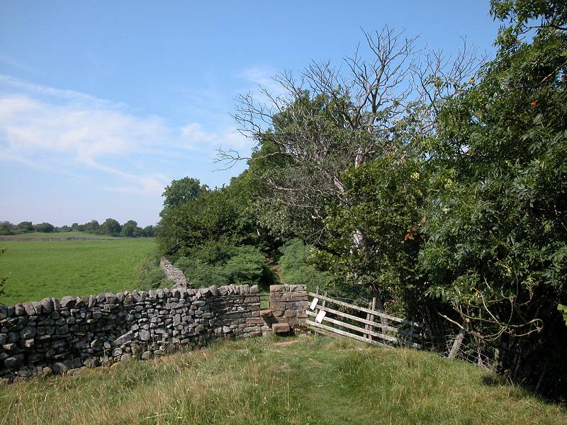
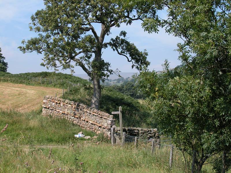
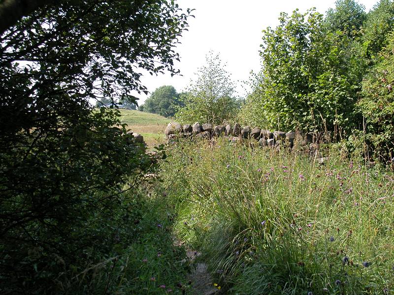
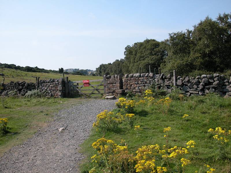
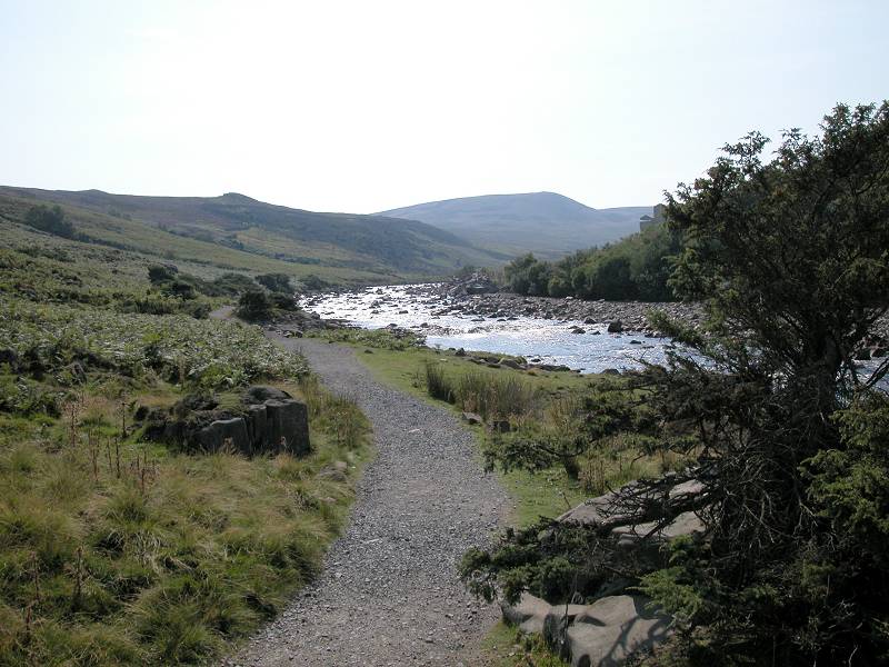
Assuming that you've arrived in Middleton's main street by bus, head towards the road junction towards the west end of the village and turn left. Go over the river bridge and past the cattle market, where you should see a Pennine Way fingerpost pointing along a track to the right (northwest).
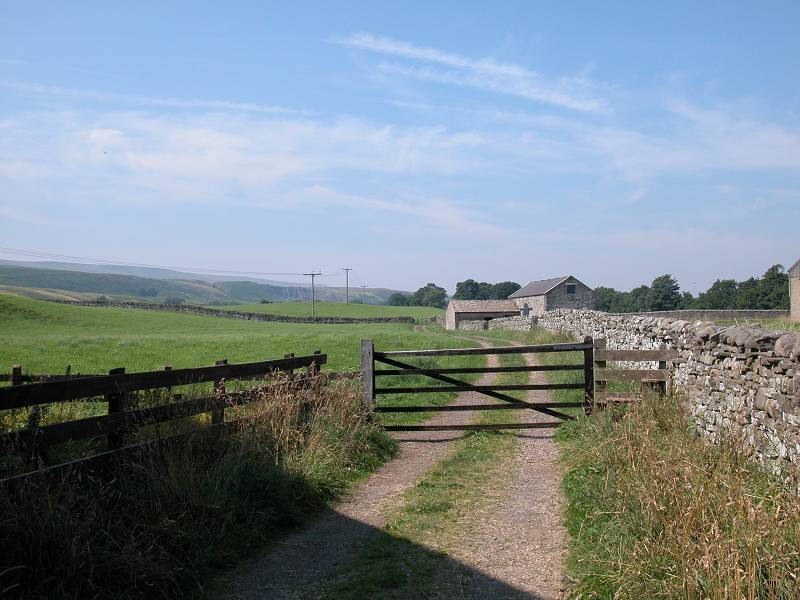
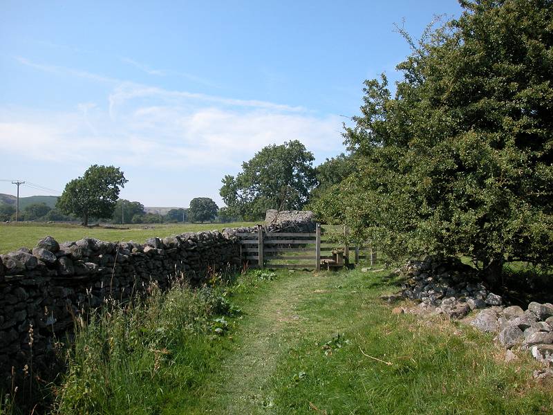
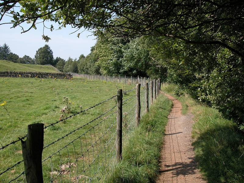
Leaving Middleton
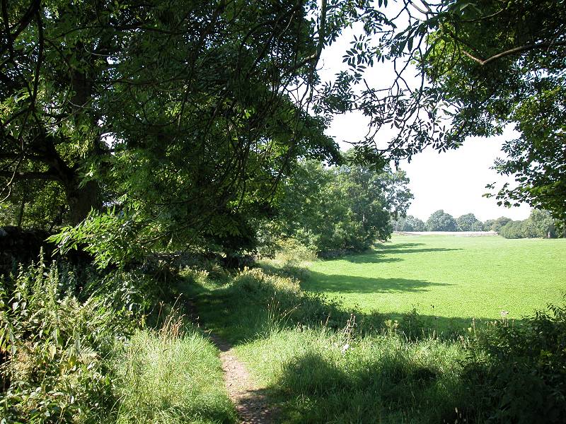
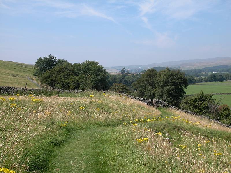
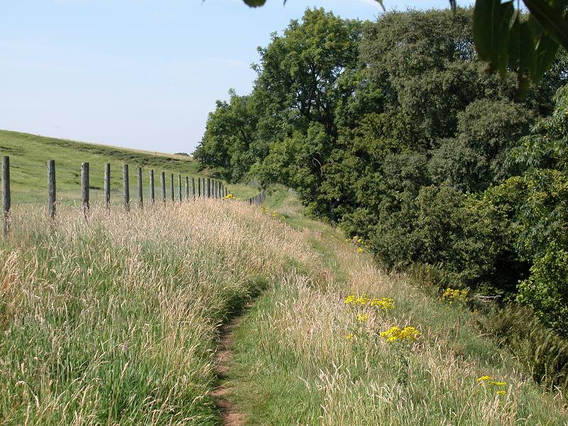
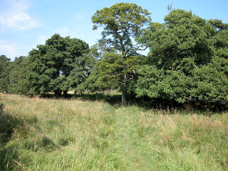
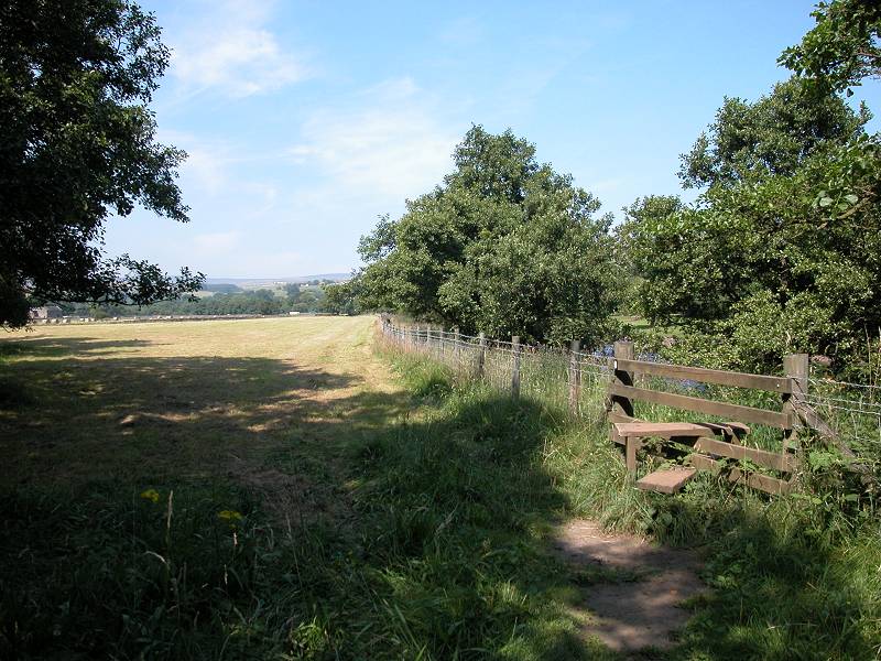
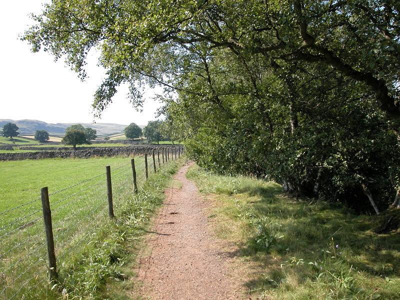
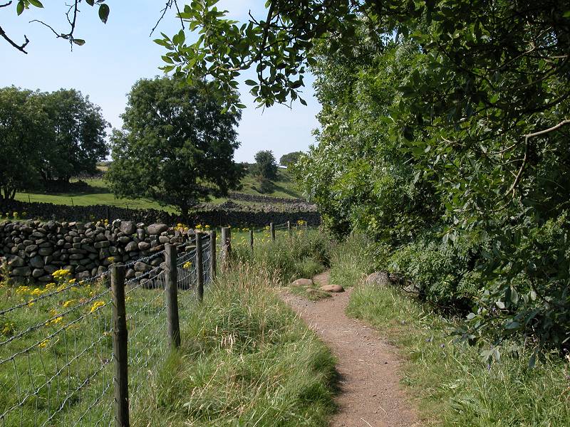
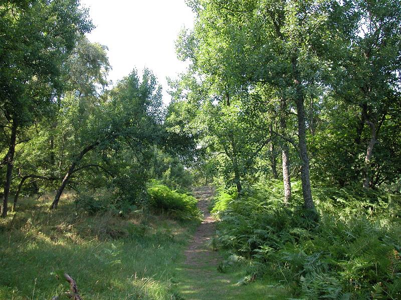
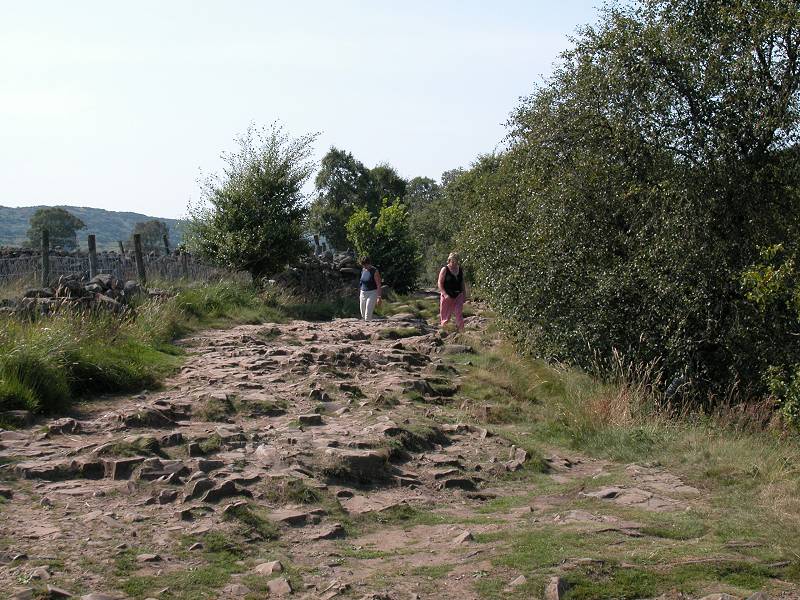
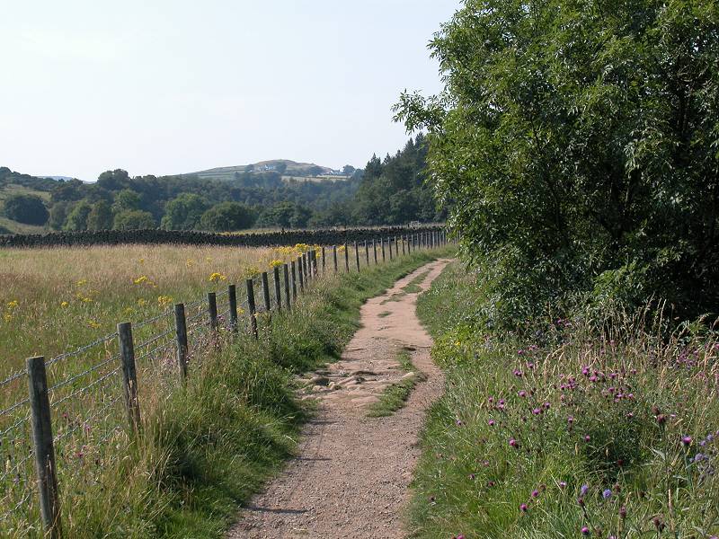
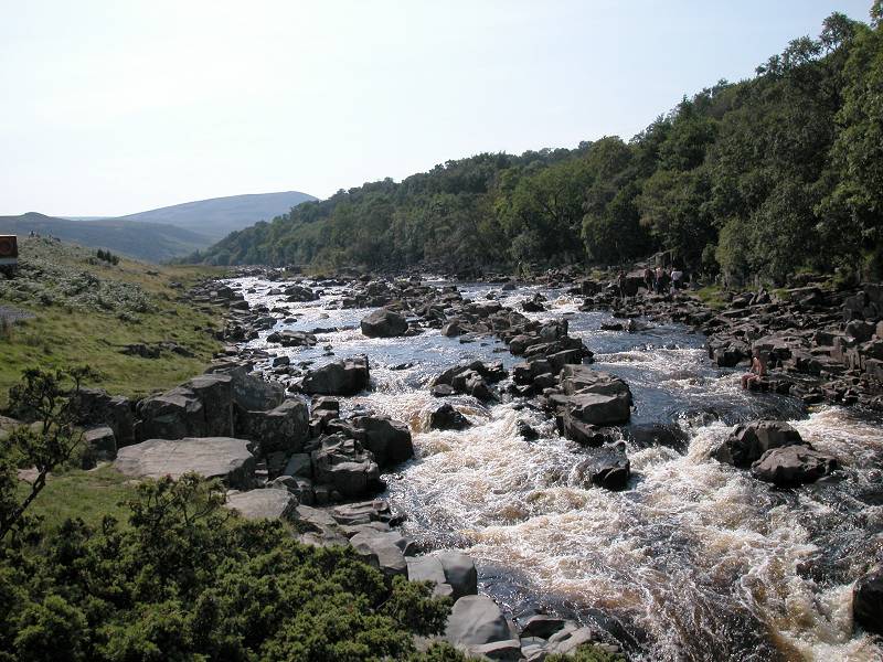
So begins the Teesdale section. For the first two miles the river meanders a bit to the north but the Way keeps to a much straighter course, running more or less continuously along an enclosure wall or fence. The first few hundred metres (pictured above) give you a good idea of what to expect for much of the day; a succession of pastures, stiles and gates.
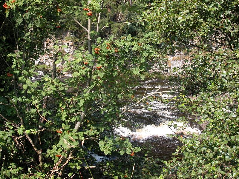
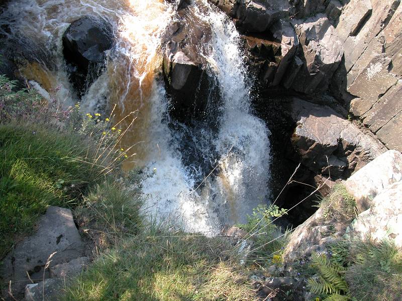
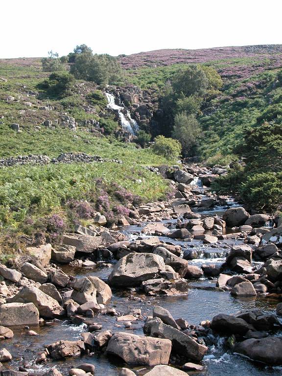
The waterfall
The first little bit of true charm comes barely six hundred metres into the walk, when you pass a little side stream heading for the Tees. The stream goes through a culvert under the track, but just before it is a delightful little fall (so named on the map, though more of a weir really).
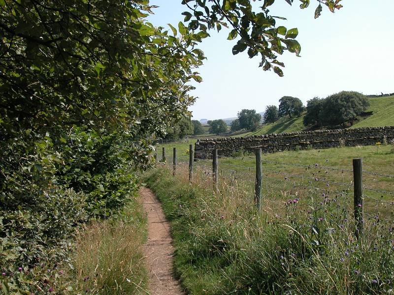
Pennine Way alongside East Crossthwaite
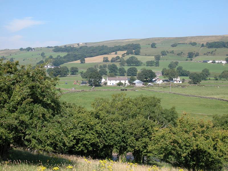
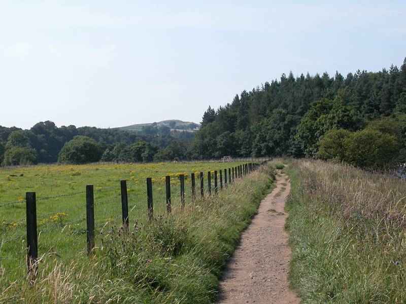
To your left is the locality of East Crossthwaite, of which nothing much can be seen, while to your right the Tees lays hidden behind a screen of trees. But above the trees the outskirts of Middleton appear. looking most charming from here.
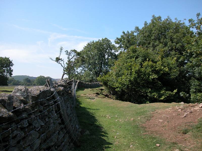
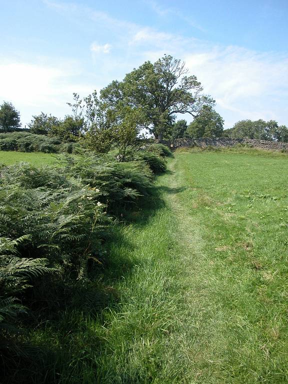
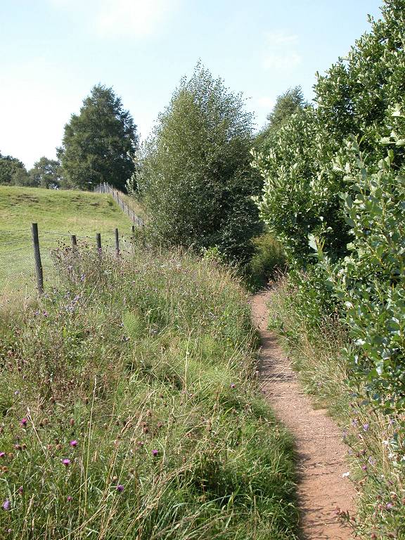
The Pennine Way, East Crossthwaite
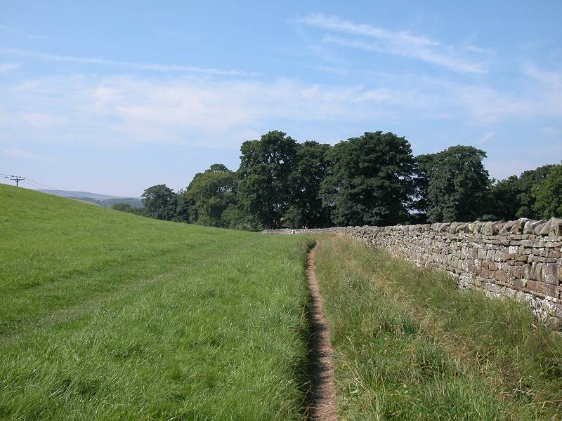
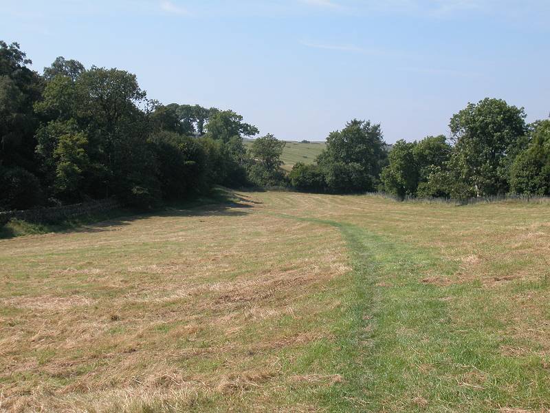
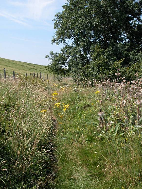
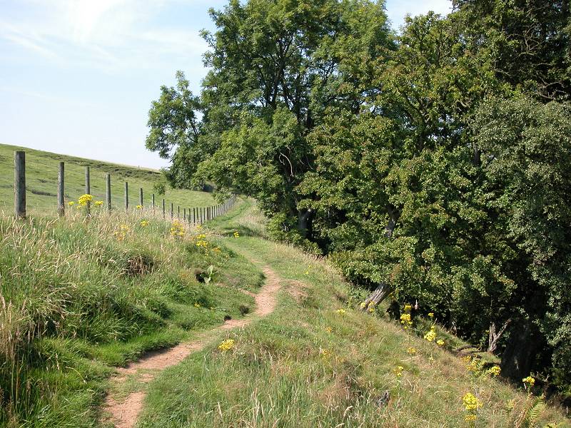
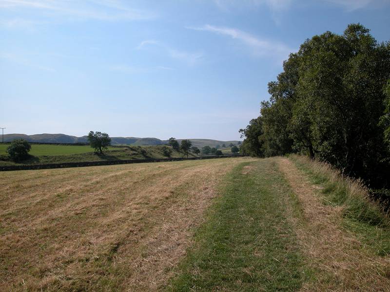
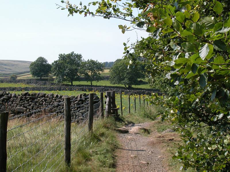
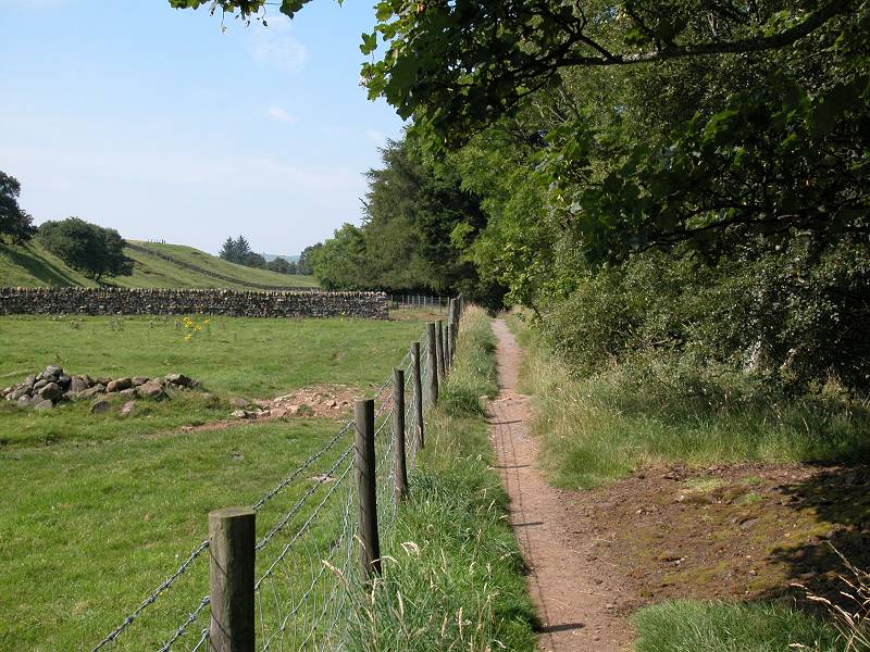
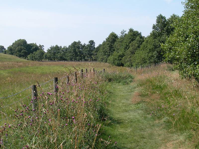
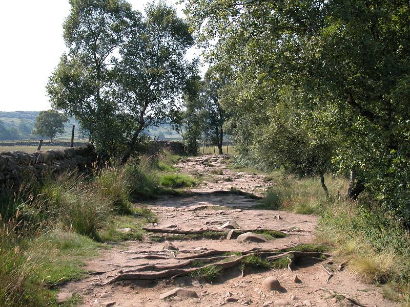
The PW switches to the north side of the enclosure wall by a stone stile (first picture above), just short of a meander that temporarily brings the river close by. You don't see much of the river at this point and it meanders away again. The path continues with its set pattern of meadows, walls, gates and stiles, but there is plenty of variety and every few yards of walking rewards you with a different vista.
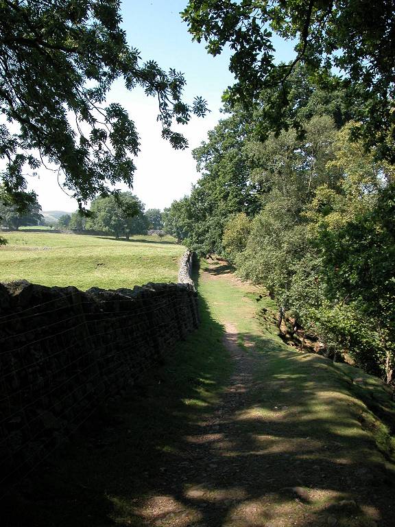
Pennine Way approaching Middle Crossthwaite
Many villages in the north of England have the word "thwaite" in their name - it's from an old Norse word meaning "clearing". The very word "Dale" is also Norse, and of course there are many other Norse roots in the language. They echo the Viking migration (or invasion, if you insist) that took place during the first millennium.
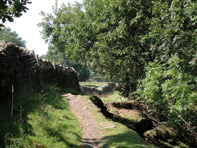
Path and pastures, Middle Crossthwaite
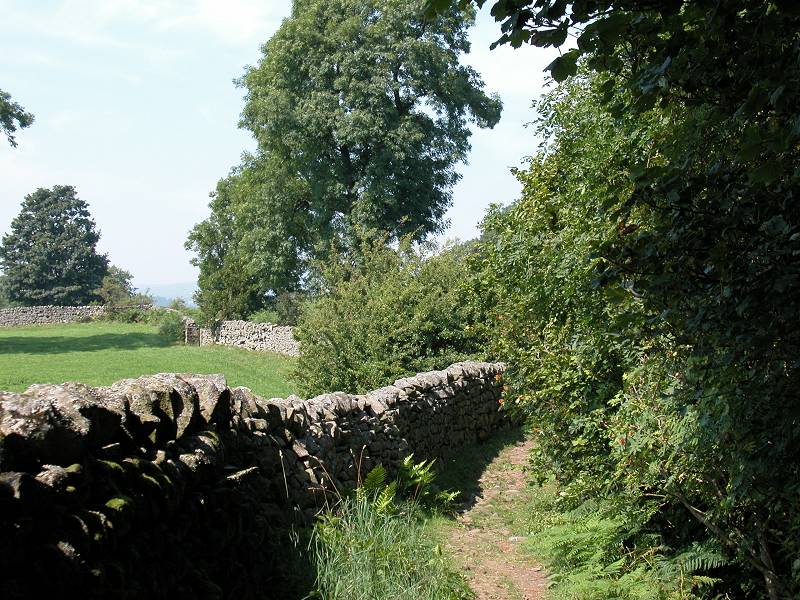
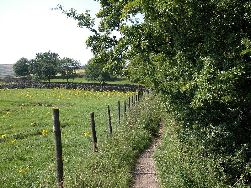
East Crossthwaite becomes Middle Crossthwaite, but the same theme of pastures, walls and stiles persists. The river meanders away some 500m to the north to run round a pretty tight bend, right up against the main road.
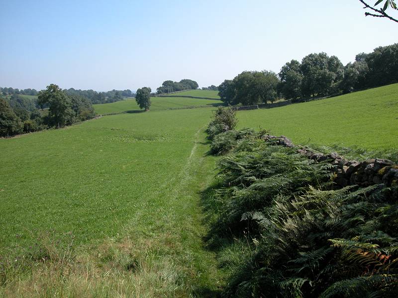
The Pennine Way, Middle Crossthwaite
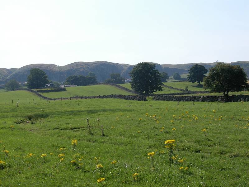
Well over to your left you will see the steep face of Crossthwaite Scars, an area of rippled slopes rising away from the flood plain. Parts of these slopes have been quarried. The trees of Park End Wood draw near on the left hand side.
Approaching Park End
As the path approaches the end of the meander and draws near to the river, the path takes a sudden kink to the left (second image above) to cross the pasture on the diagonal.
Pennine Way, Park End
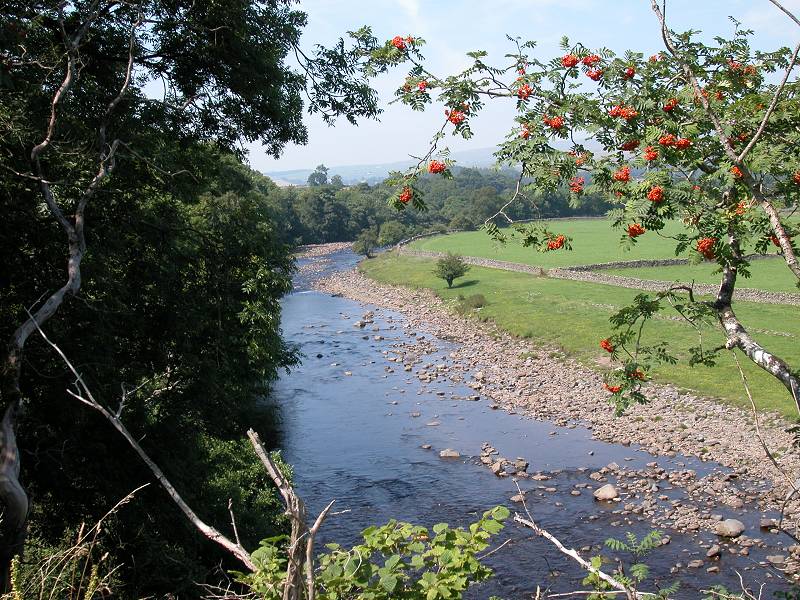
The path approaches the edge of Park End Wood, rising smartly as it converges with the northwest corner. From here you get a good view of the dale, with the village of Newbiggin opposite. A line of trees at the foot of the slope marks the course of the Tees, which you will shortly come alongside.
The path coming alongside the Tees, and a view of Newbiggin
The Pennine Way opposite Crossthwaite Scars
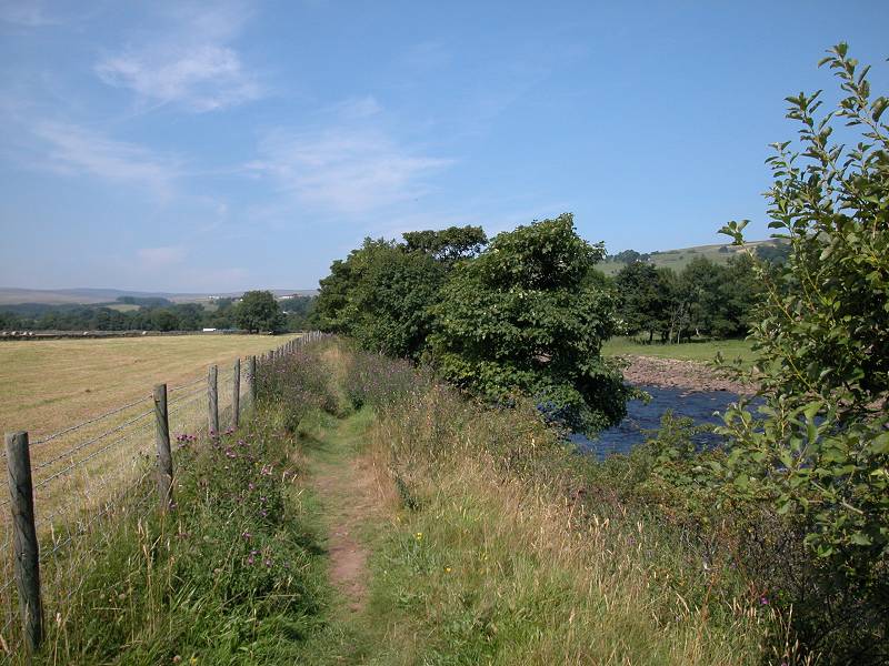
You're two miles into the walk now. The Pennine Way gives you a glimpse of the river then settles into a course around twenty feet above it, sandwiched between a fence and a screen of trees. The river begins to meander to the right once again but this time the Pennine Way follows it.
The PW following a meander near Crossthwaite Scars
Path, footbridge and glade
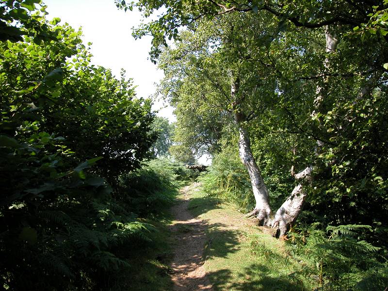
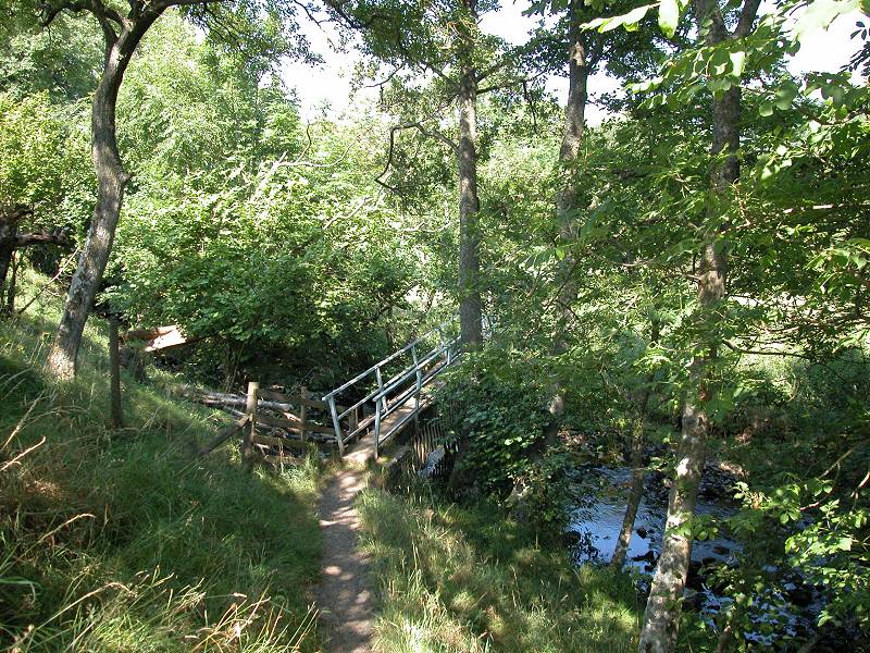
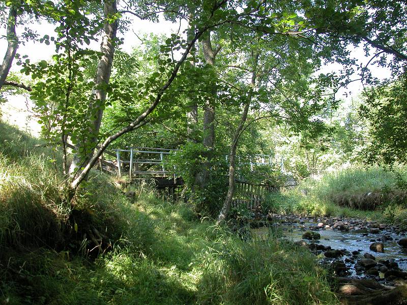
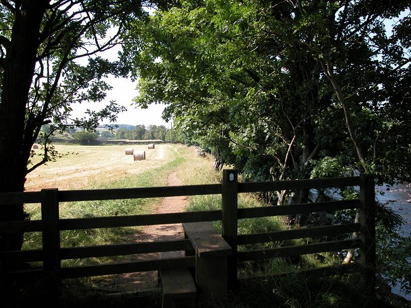
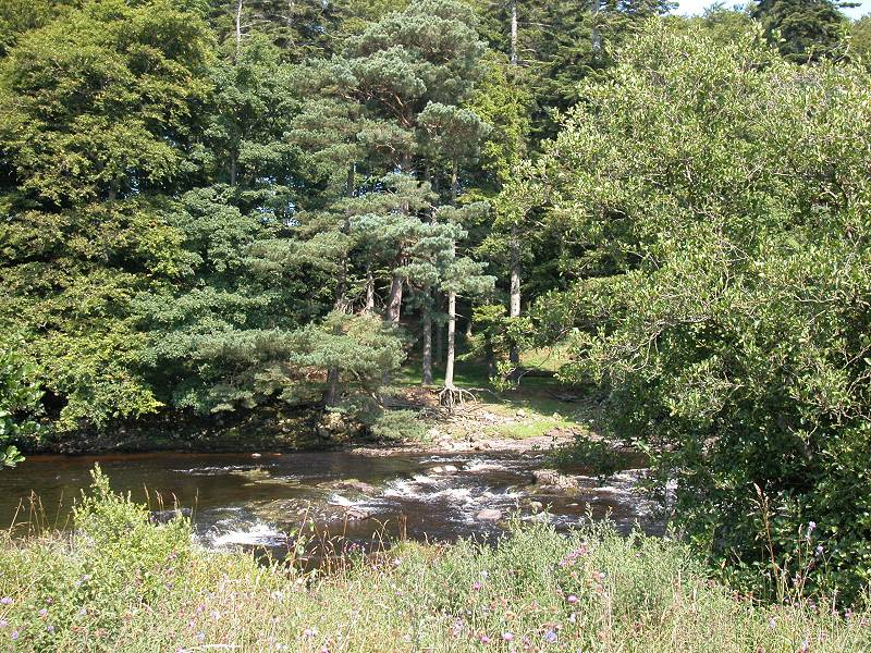
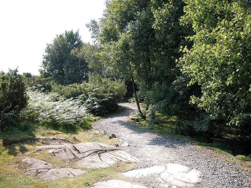
Just as the river straightens out again the Pennine Way suddenly disappears into the screen of trees to your right, to come down to a little waterside glade. There's a footbridge here, though it crosses a side stream rather than the Tees itself. I've made use of this glade as a lunch stop. There's not very much else in the way of privacy for the next few miles.
The PW picking its way across side streams
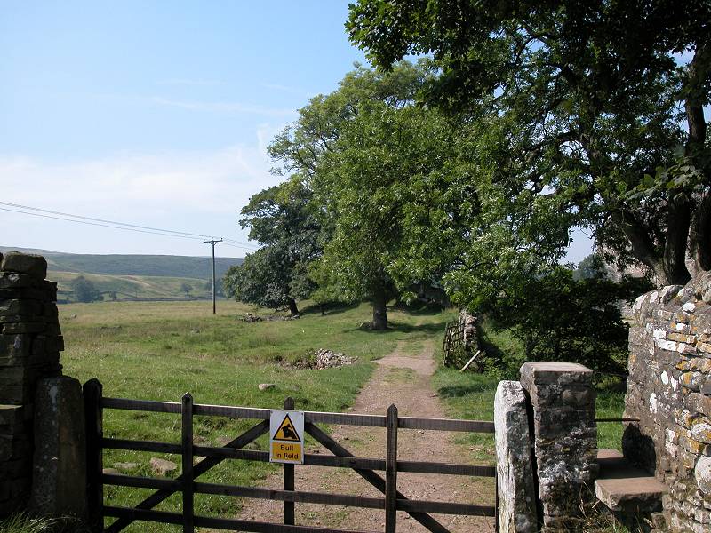
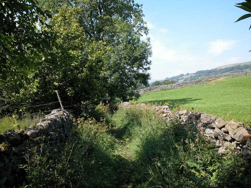
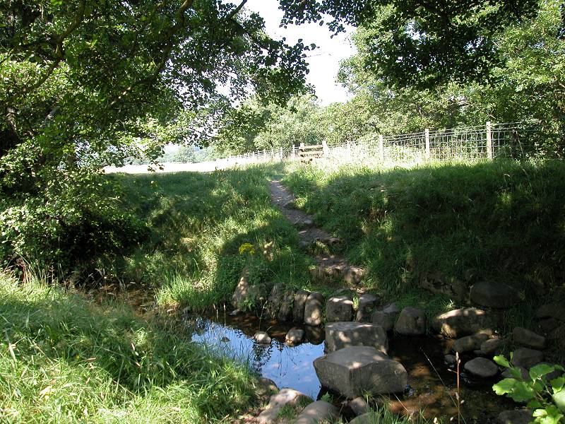
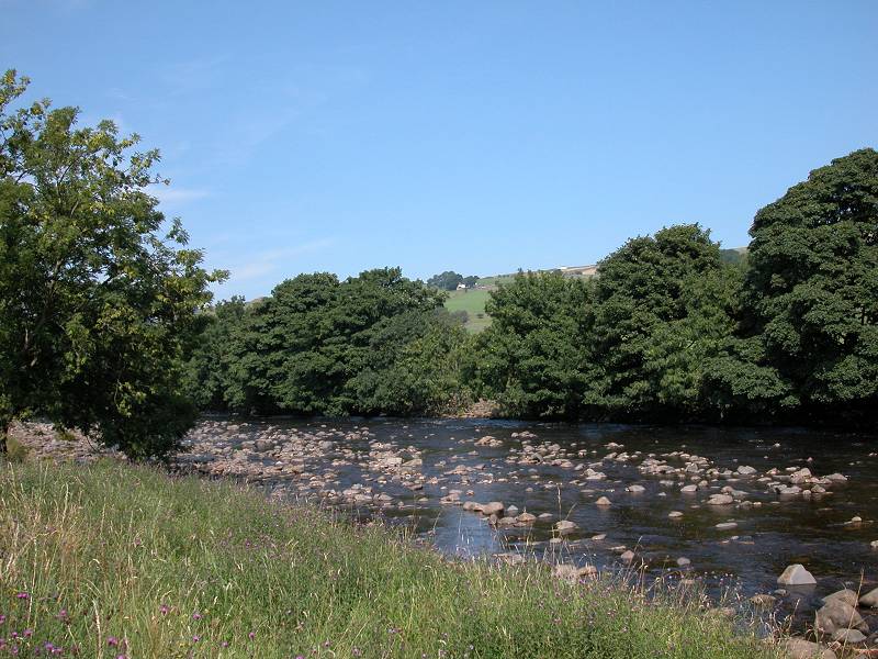
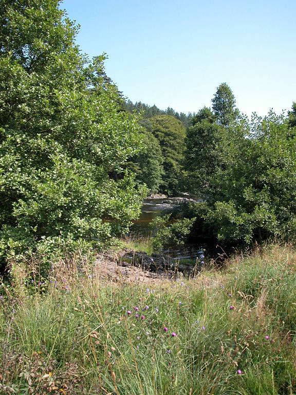
After the footbridge you cross a little pasture to come to a second side stream, little more than a ditch really, which is crossed by stepping stones. The path on the other side leads up to a stile across a fence. On the other side of the fence is the Tees proper, and now the day's walk starts to hit picture postcard scenery.
The PW reaches the banks of the Tees
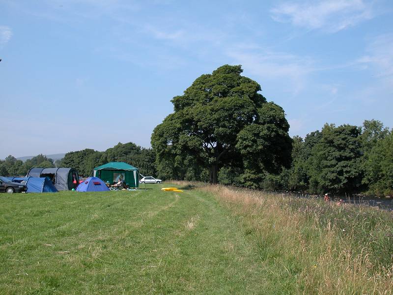
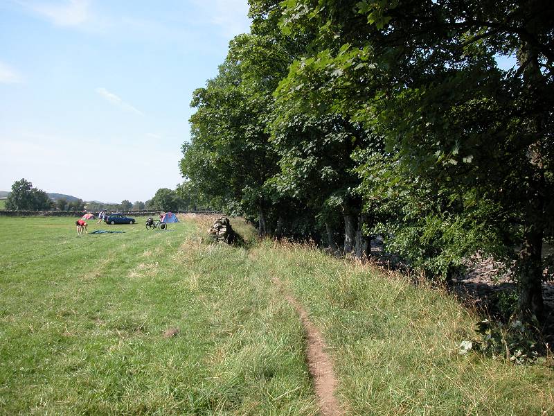
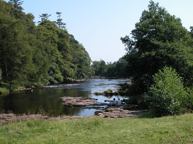
Riverside walk and campsite, Holwick
You're close to the village of Holwick now. One consequence is that pedestrian traffic increases, and another is that you reach an open pasture used as a campsite / picnic spot. It's momentarily crowded and can be a bit noisy, but you're soon past and can enjoy the riverside vistas to the full.
The Tees, Holwick
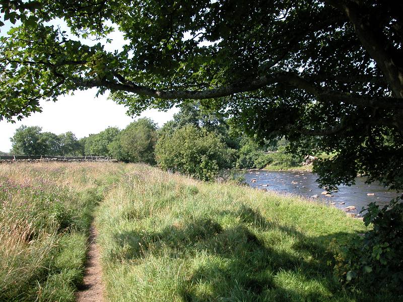
Pastures and riverside views
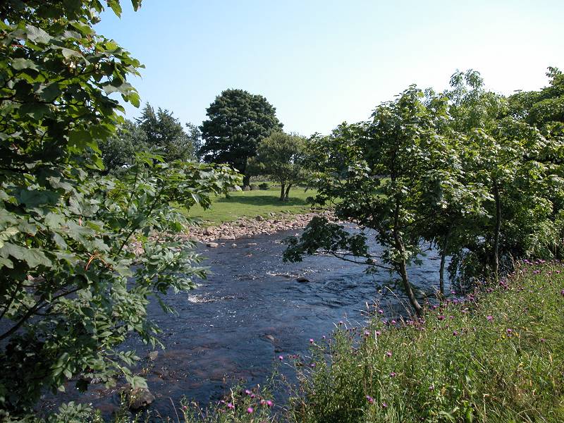
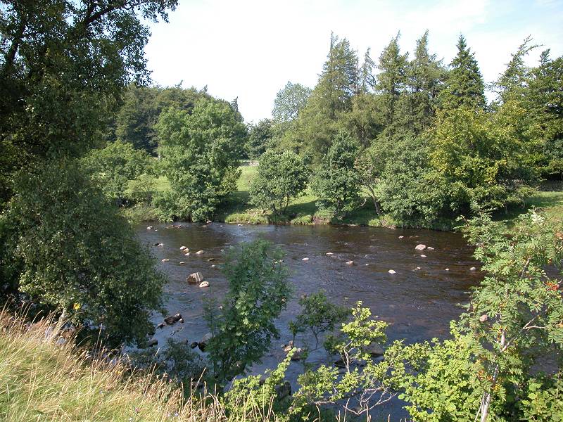
The theme of pastures, walls, fences, gates and stiles continues unabated but now it's liberally mixed with riverside scenes, the water sparkling as here and there it encounters rocks and forms little eddies. This is the Tees in benign state - there is much more exciting stuff to come.
Pastures and meadows, Holwick
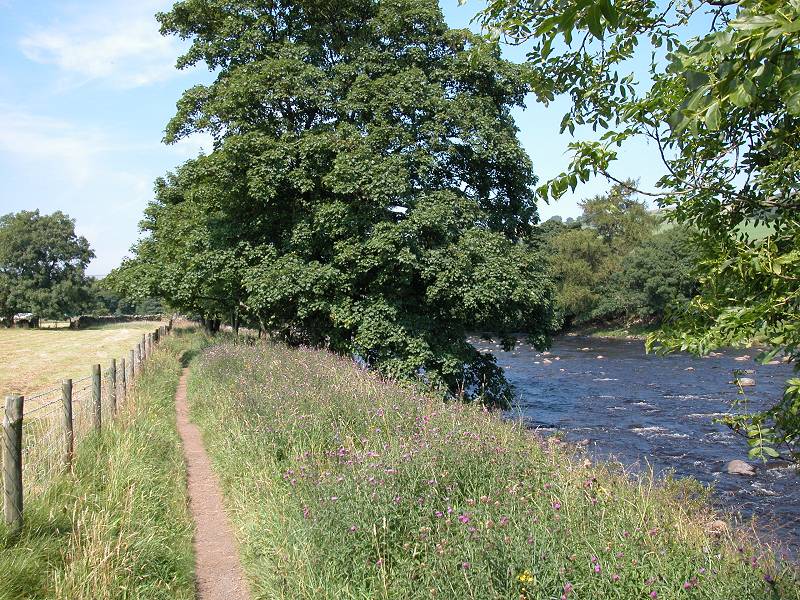
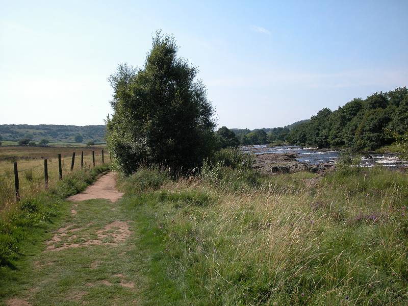
This beautiful pastoral scene continues for the next mile, until the path approaches Wynch Bridge.
Riverside scenes on the approach to Wynch Bridge
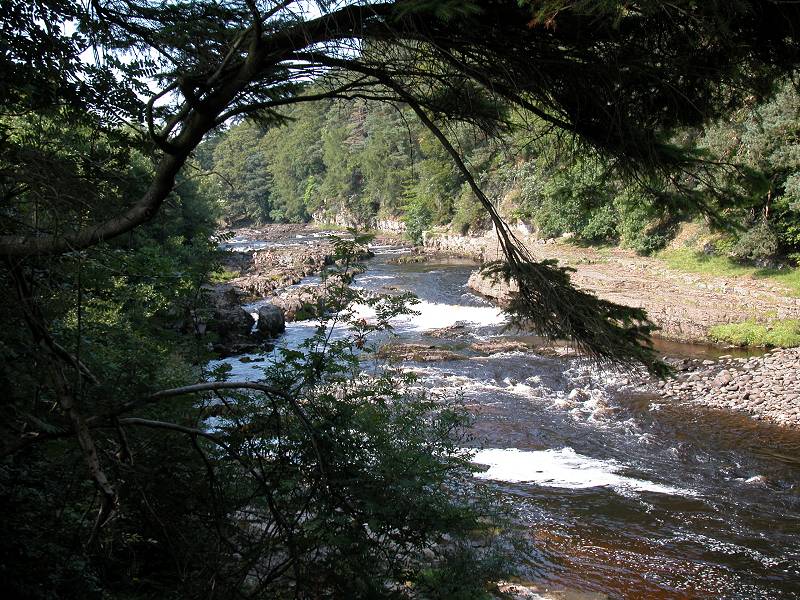
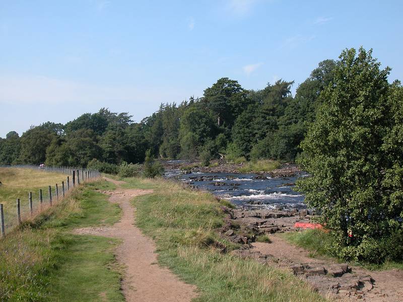
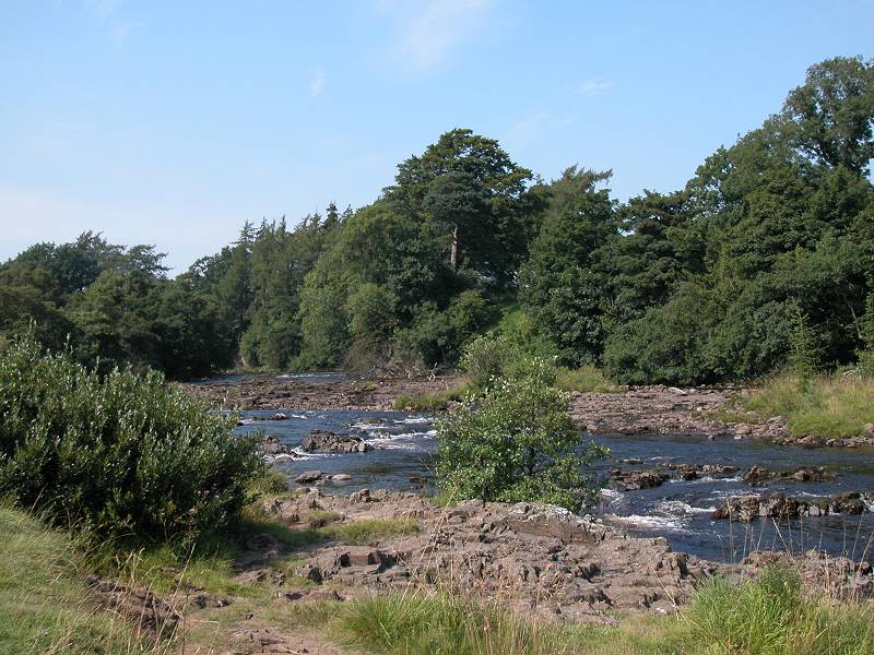
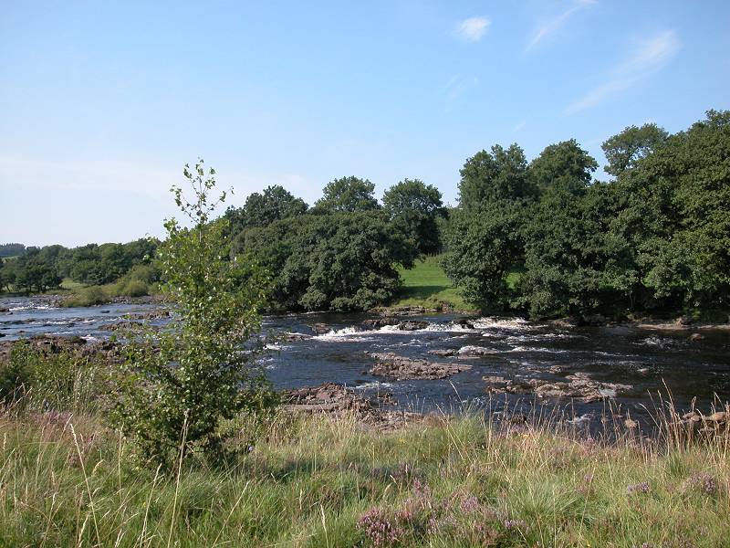
Between Holwick and Wynch Bridge the river turns itself up several notches. The riverbed becomes rougher and rockier, and the little eddies gradually become more numerous until they turn into rapids and weirs. The Tees is one long scenic highlight along this stretch.
The Tees downstream from Wynch Bridge
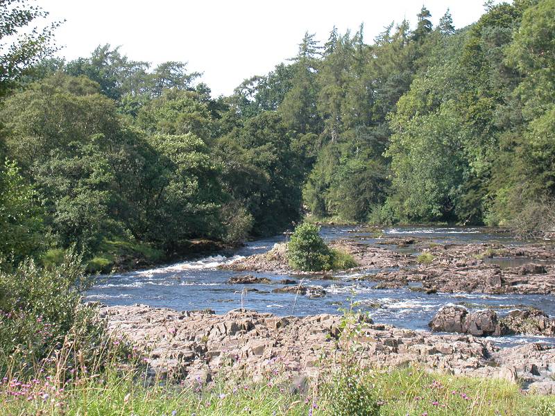
Words don't really do this section justice. So I'm going to shut up for half a mile and let the images do the talking. See you at the bridge.
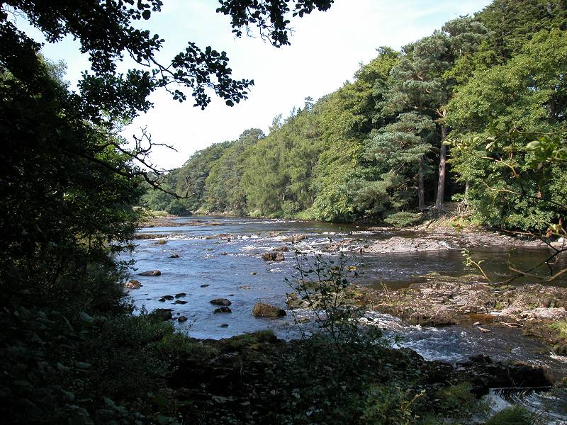
Holwick to Wynch Bridge
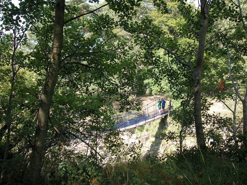
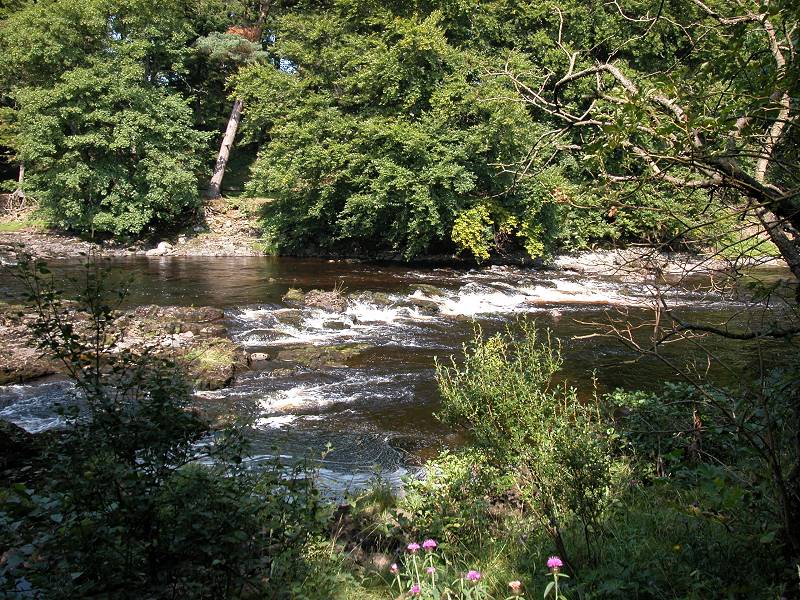
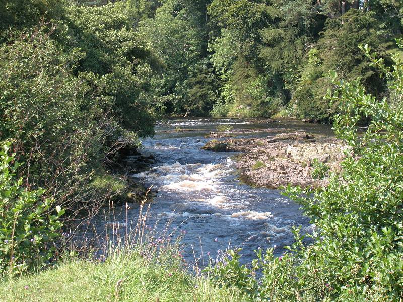
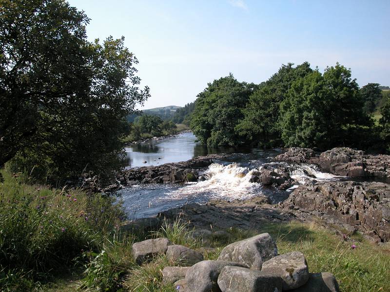
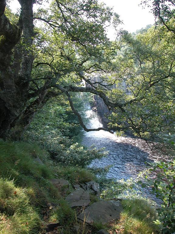
The Tees at Wynch Bridge
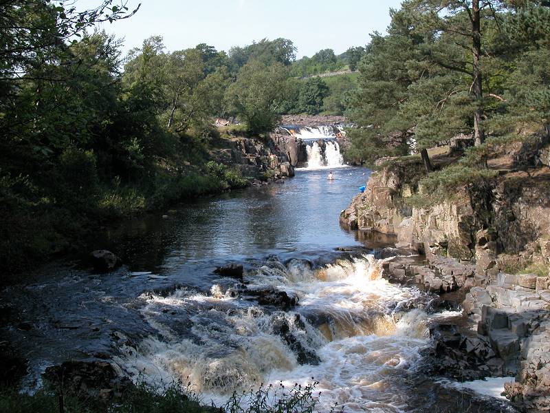
Wynch Bridge is a pedestrian footbridge that gives access to the main Teesdale road opposite. This is where the pedestrian traffic is likely to increase markedly, for the bridge and its environs are a prime viewpoint for Low Force.
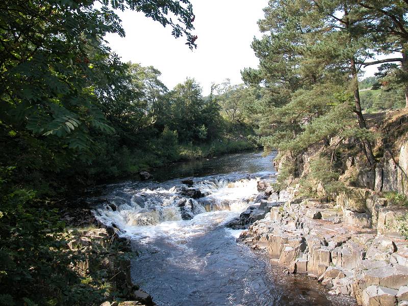
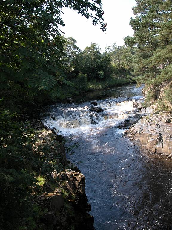
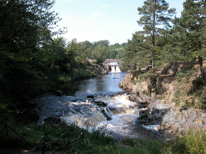
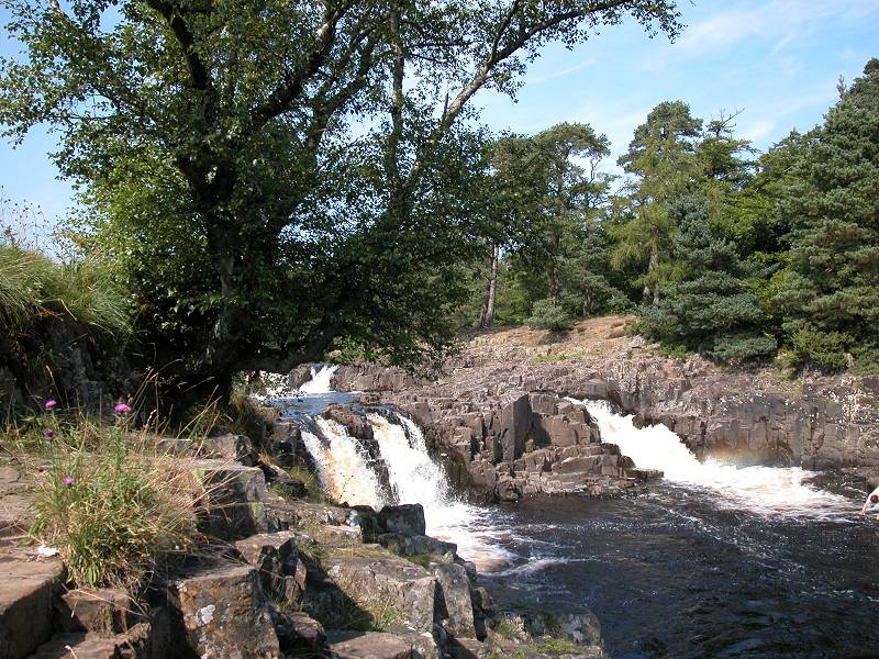
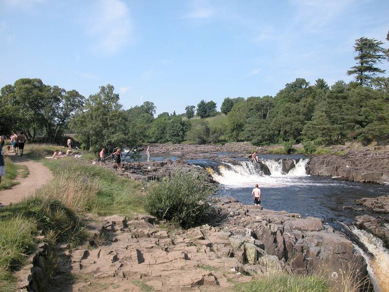
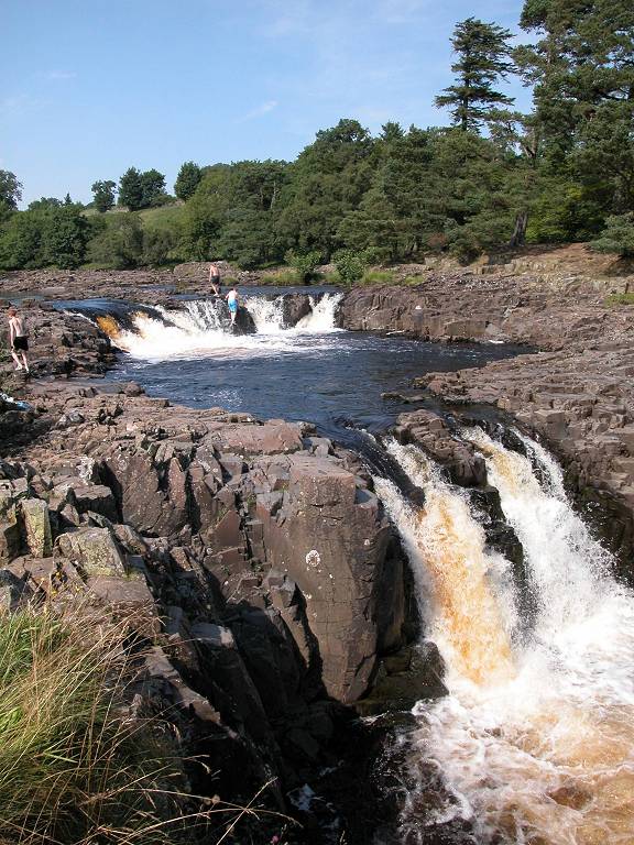
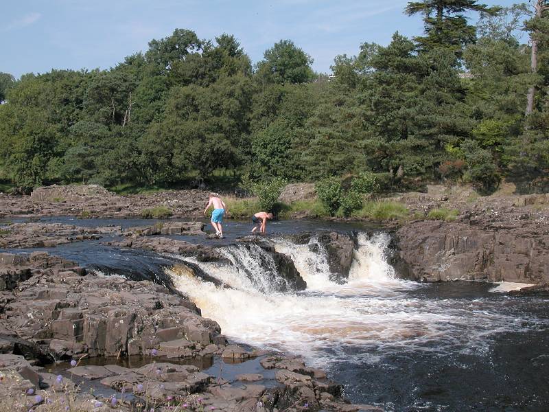
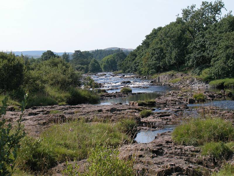
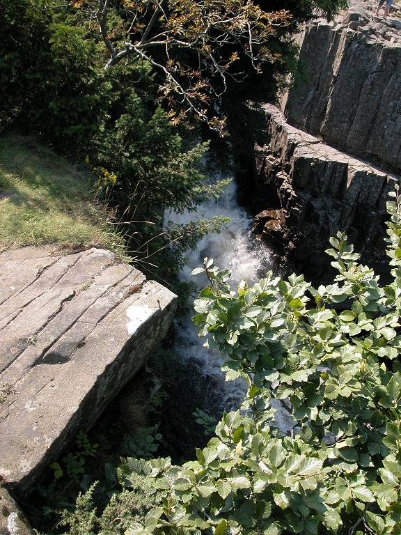
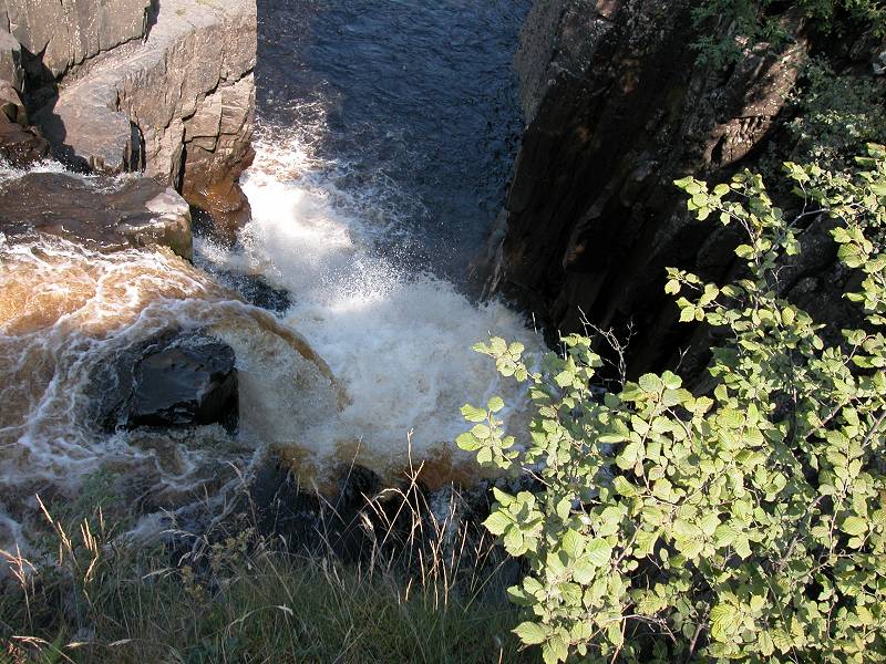
Low Force
In the quarter mile above Wynch Bridge are three delightful cascades, which together form the scenic gem known as Low Force. It appears that it's the central and highest of the three waterslides that is Low Force proper, but let no-one say that the picturesque weirs immediately above and below the falls have any less charm. This is a lovely spot.
Low Force
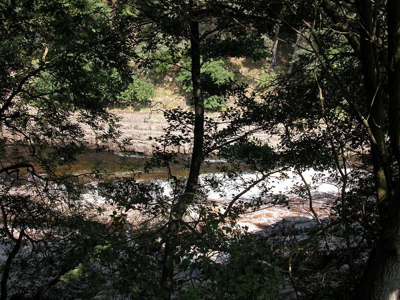
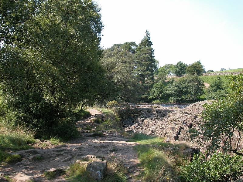
Above Low Force the scenery doesn't exactly disappoint. It's about a mile to Holwick Head Bridge and along most of this section first the riverbed, and then the path, become unusually rocky. The scenery is superb and at weekends and bank holidays this area is likely to be one long picnic site.
The Tees above Low Force
Rocky riverbed and path
The Pennine Way between Low Force and Holwick Head
The Tees approaching Holwick Head
The rock scenery continues, with the river jumping over occasional weirs and small falls. Save your film, for there's something much more spectacular coming up shortly.
Pennine Way near Holwick Head
It's just about here that you need to switch from the front of the Teesdale map to the back. This is best done out of the wind otherwise you're liable to tear the map or take flight! The path continues by a wire fence to come to Holwick Head Bridge, a farm access drive.
Holwick Head
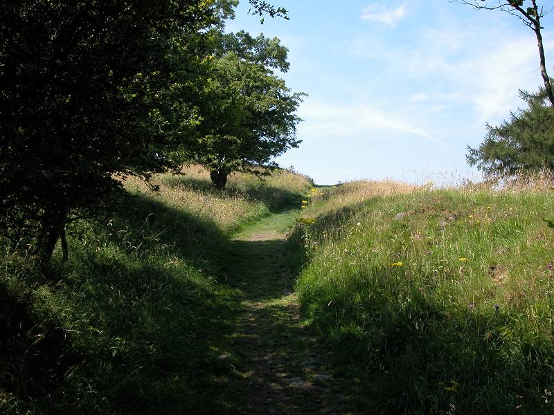
Path ascending Keerholm Scar
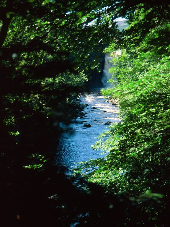
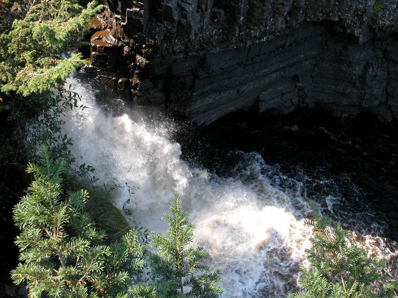
Pulses quicken here. From Holwick Head bridge it's just 900 metres to High Force, and straightaway the path introduces a sense of drama by swinging away from the river and ascending the slope by Keerholm Scar. Because of the amount of pedestrian traffic the path here has been relaid but is well maintained. It winds its way between clumps of vegetation (gorse and juniper predominate) with little view of the river, which is screened off by trees. You start to hear a roaring sound, and then suddenly High Force appears before you.
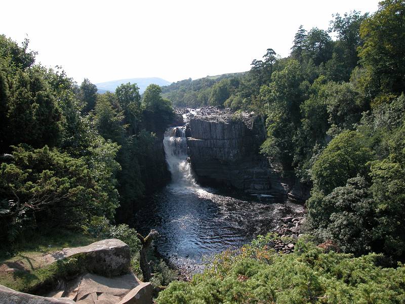
Approaching High Force
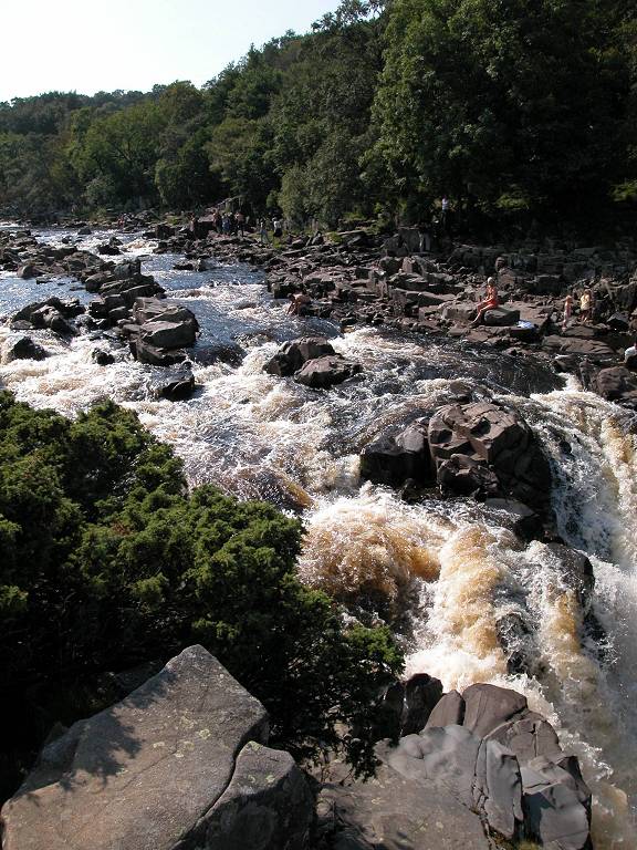
High Force is dramatic. It's England's biggest waterfall. Not the highest, which was back at Hardraw Force in Wensleydale, but the one with the biggest volume of water in vertical descent. Without any fuss or ceremony the Tees plunges over a sill of dolerite with an almighty roar, crashing against a narrow shelf halfway down.
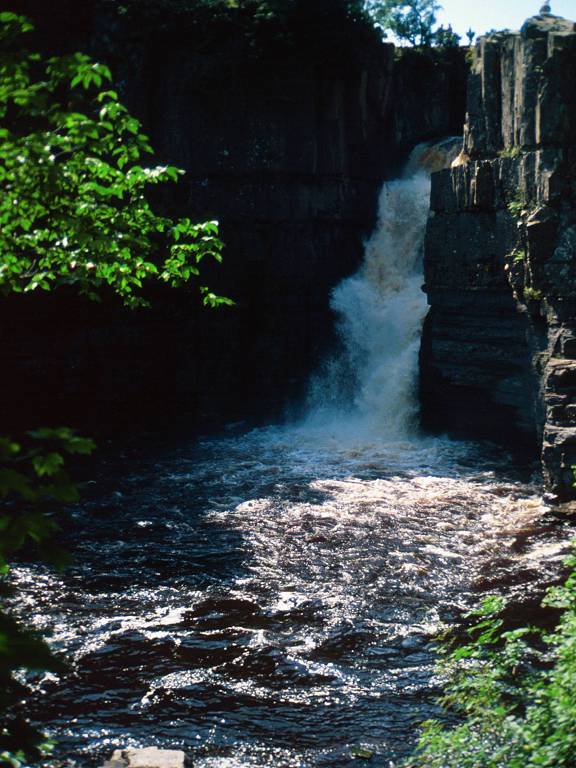
High Force
When the river is calm the fall forms a main cascade on the left of the ravine with several smaller ribbons of water on the right, but in spate these all join into one huge fall. It has to be admitted that better views of High Force can be had from the north bank, though that is private ground and a toll is payable. Historically the Tees was the county boundary between Yorkshire and Durham, and the south and north banks are still known as the Yorkshire and Durham banks respectively. Nowadays the Tees basin is wholly within Durham.
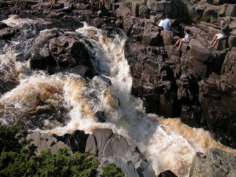
High Force at the top of the fall
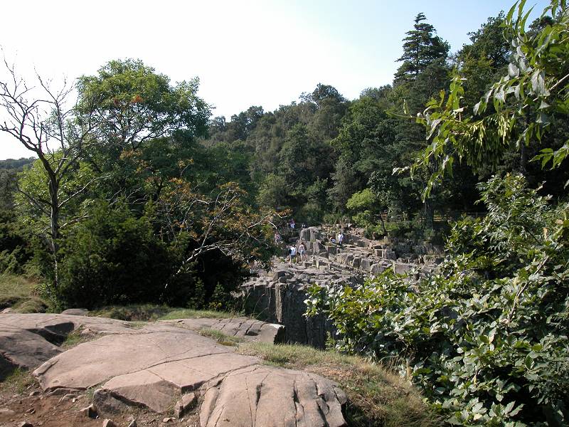
High Force is a superb place for your afternoon refreshment break, even though a couple of hundred other people have probably had the same idea. Here on the south bank it's possible to get right to the edge of the vertical drop and the view down into the fall is spectacular. I don't need to warn you to be careful, do I? Children and dogs should not be allowed to wander free around here. High Force once featured in Michael Palin's "Ripping Yarns" - in the episode entitled "The Testing of Eric Oldthwaite", Eric and his bank robber captor jump down the falls to escape police pursuit. In real life this would almost certainly be fatal.
The Tees above High Force
Pennine Way, Bleabeck
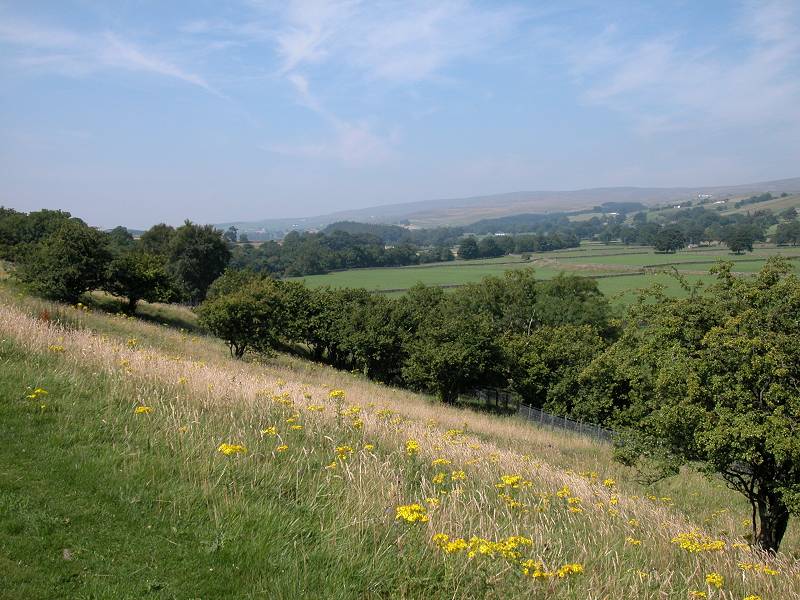
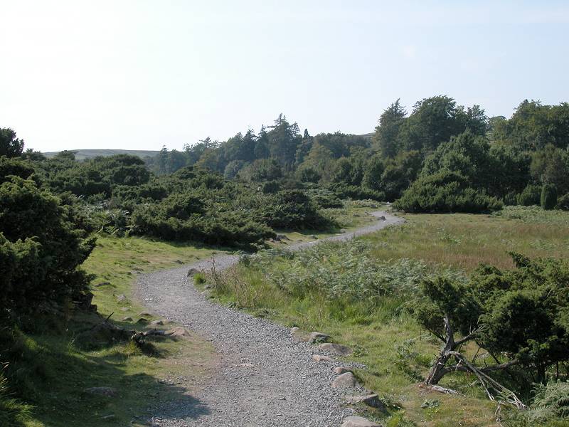
The character of the walk changes completely above High Force. Gone are the pastures and meadows and walls. Instead we're in a landscape of rough pasture once again. The locality of Bleabeck is a bowl of heathland, carpeted by rough grasses, heather, bracken and gorse.
Bleabeck Force
Look out for the picturesque fall of Bleabeck Force over to your left. If you found High Force too crowded for an afternoon stop, then Bleabeck Force is a splendid alternative.
The Pennine Way, Pasture Foot
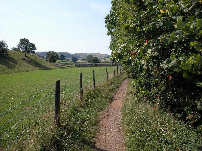
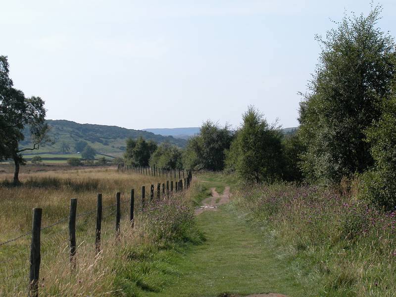
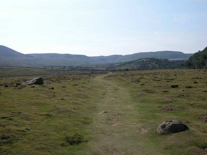
Over on the right, across the river, is Dine Holm quarry, which is not a pleasant sight in such otherwise grand surroundings and which I've deliberately not photographed. You're soon past it and crossing an area of heath known as Pasture Foot. This is wide open land where you can wander at will if you choose, though the route is clear enough and might as well be followed. A number of becks are crossed among hillocks dotted with juniper and gorse.
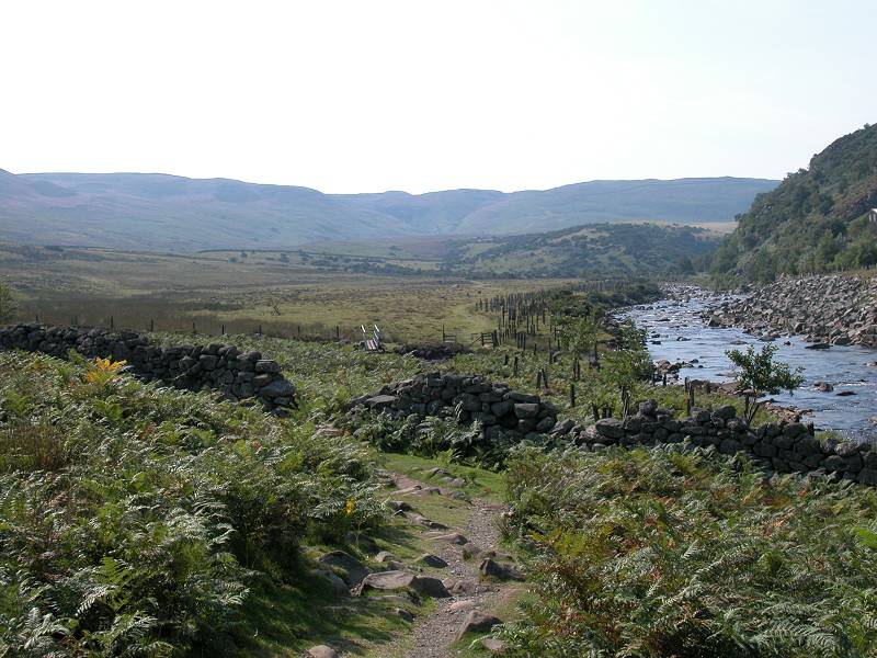
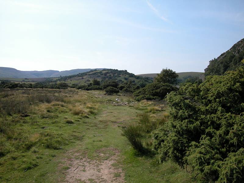
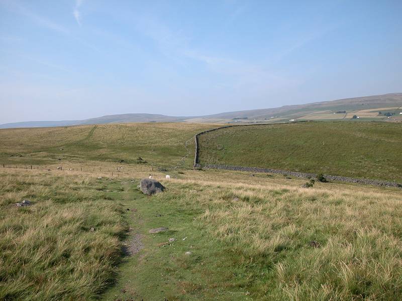
The hillocks at the far end of Pasture Foot were the introduction to Bracken Rigg, a shoulder of land standing some 500 ft above the river. The Tees itself swings round to the right into a sharp meander, cutting into the rigg to leave steep slopes. The Pennine Way avoids these slopes by climbing Bracken Rigg itself, a short ascent but the hardest one of the day.
Bracken Rigg proves to be not the isolated summit it appears to be from below, but merely the lip of a huge area of moorland. Cronkley Fell rises up to the right, itself just an outpost of the vast emptiness of Stainmore Common. The Warcop artillery range is just a few miles away.
The path turns right at the top of Bracken Rigg, and before long begins to descend once more towards Cronkley Farm.
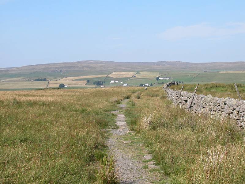
Bracken Rigg
descent path
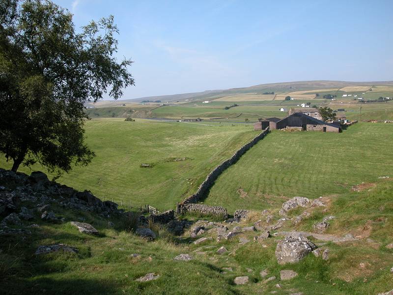
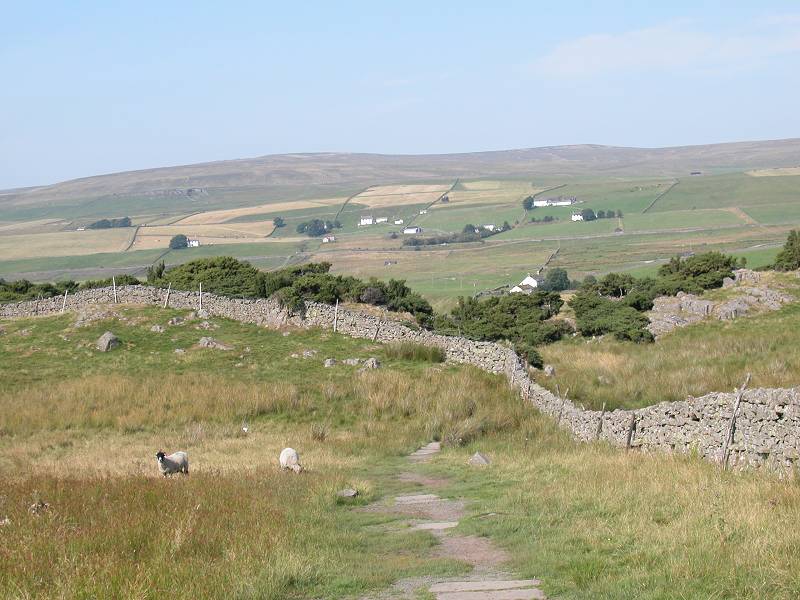
Descent to Cronkley Farm
Cronkley Farm access drive
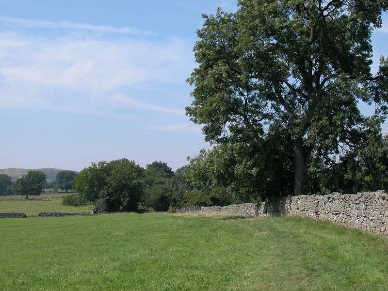
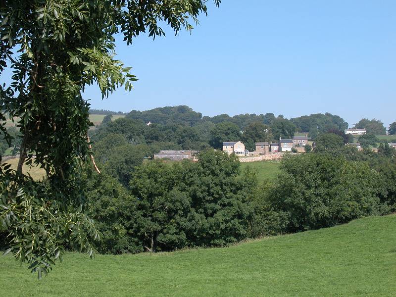
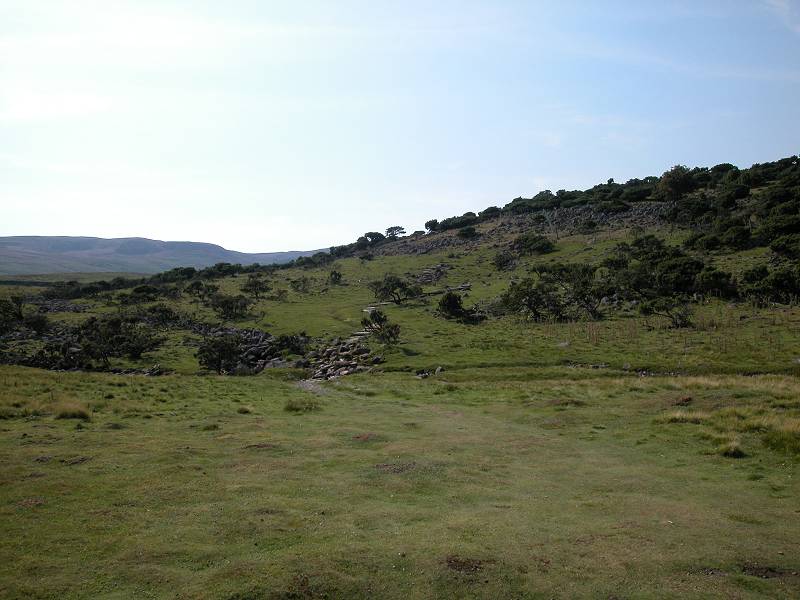
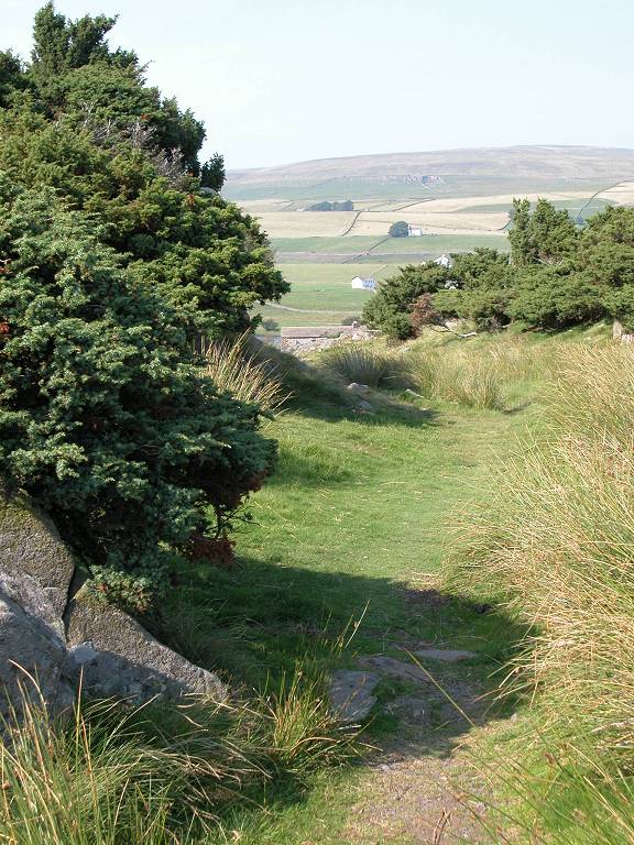
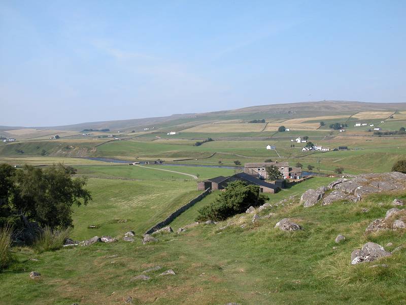
The terrain changes again as you leave Bracken Rigg, for once again we're among meadows and pastures. The scenery is open and stark, however, in a way reminiscent of parts of the Scottish Highlands - there are houses here but they are well scattered, forming localities and communities in loose clusters. The most prominent of these is Forest-in-Teesdale, seen across the river to the northeast.
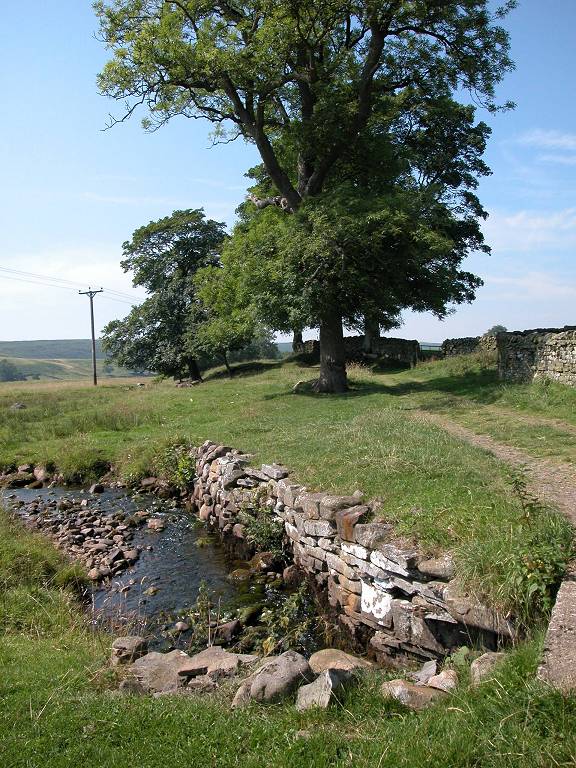
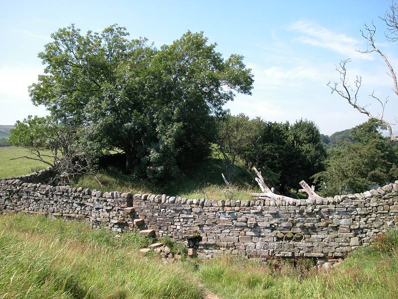
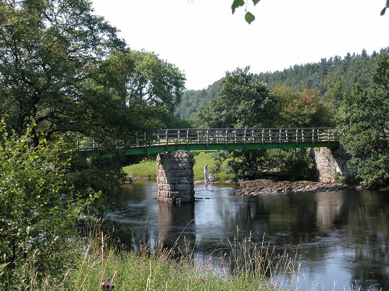
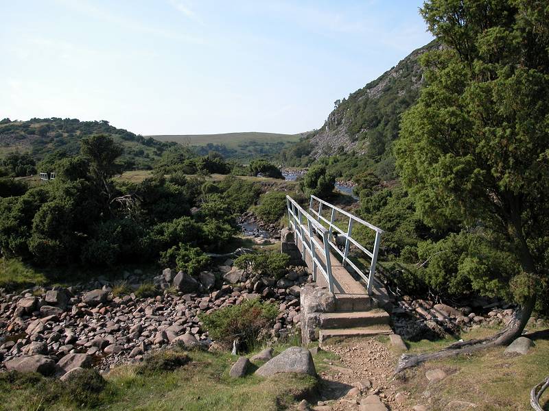
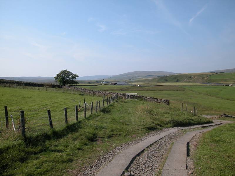
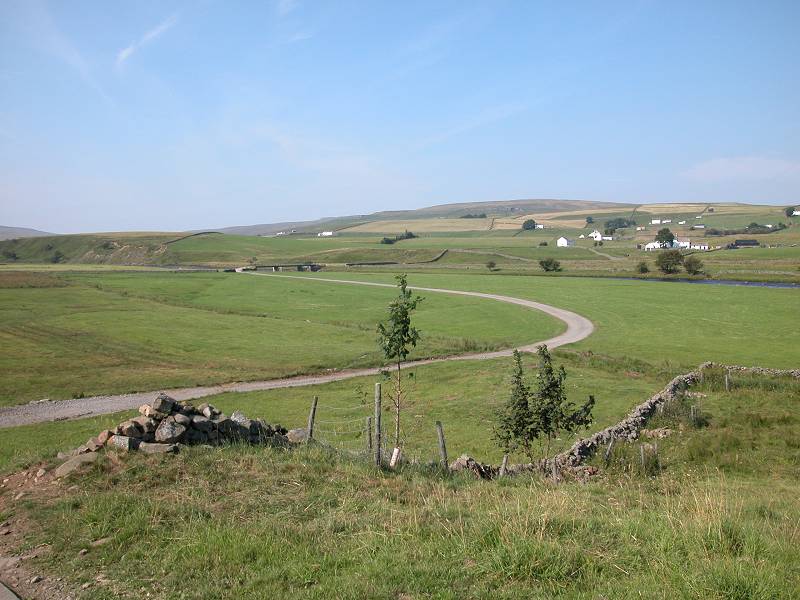
We follow Cronkley Farm's access drive across the flat meadows of the Tees flood plain and cross the bridge (pictured below). The Pennine Way turns left beyond the bridge to follow the north bank of the Tees.
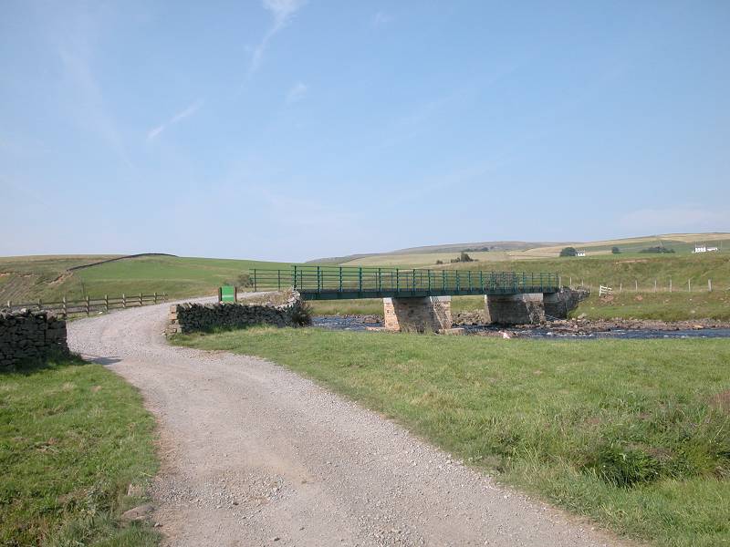
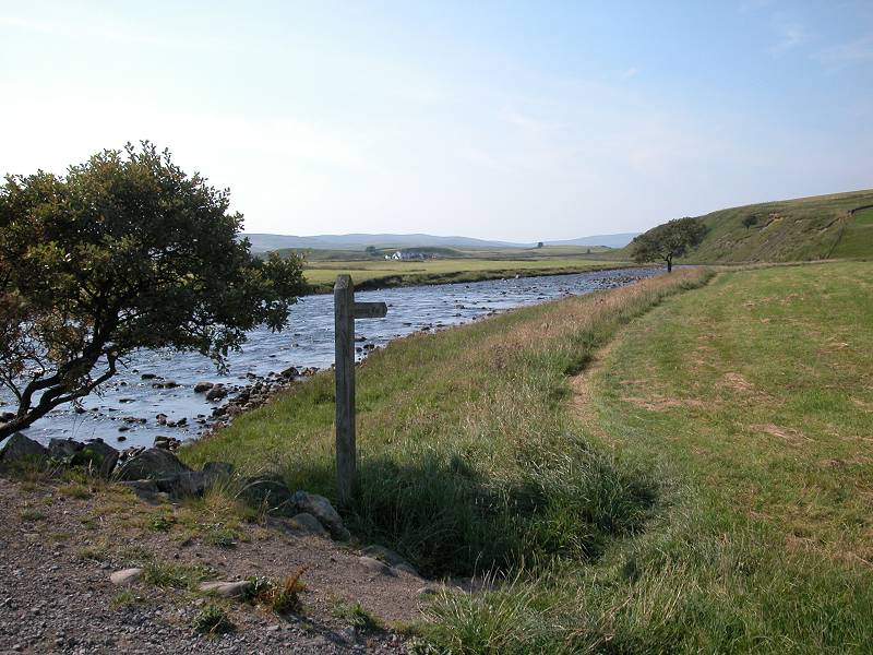
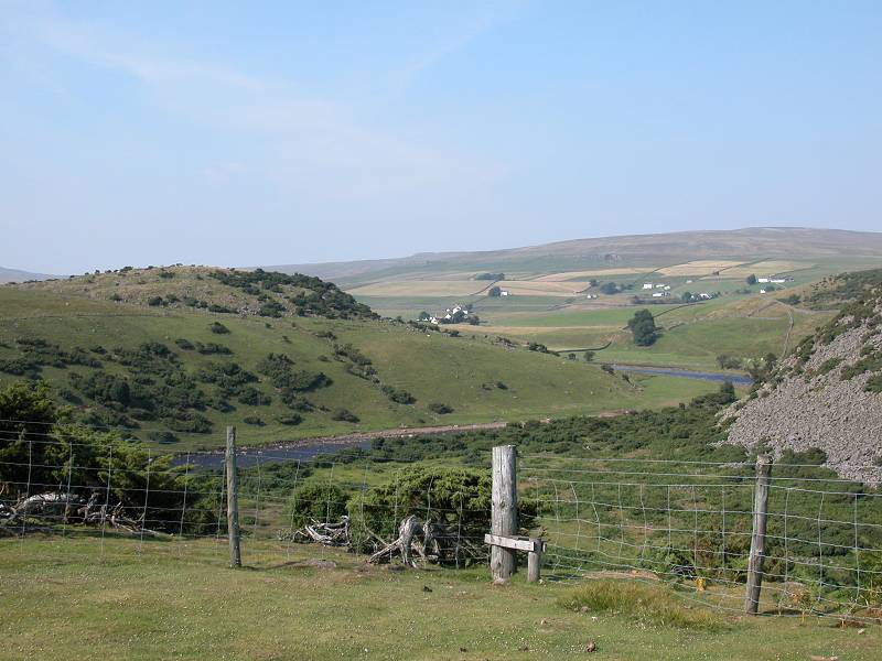
The path runs through a meadow of surprisingly rough grass before reaching the slopes of Haugh Hill, which crowds in close to the bank. Opposite is the confluence of the Tees with Langdon Beck. Although there is a right of way along the south bank of the Tees the going is rough and it's many miles to the nearest crossing point, miles that run within the bounds of the army's training area. The Pennine Way, therefore, sticks to the north bank of the Tees but to get there it first has to run along half a mile or so of Langdon Beck to the bridge at Saur Hill.
The Pennine Way crosses Langdon Beck here to return to the Tees, but that's for tomorrow. Turn right and follow the track up the slopes to the main road, some 500m away. Slightly up to the left on the other side of the road is Langdon Beck youth hostel, while the Langdon Beck Hotel is about a mile further on. The minibus service back to Middleton-in-Teesdale runs three times a day as far as the hotel and can be picked up at the youth hostel.
![]() Hodgsons
service 73
Langdon Beck - High Force - Middleton in Teesdale
Hodgsons
service 73
Langdon Beck - High Force - Middleton in Teesdale
![]() Arriva
North East service 95/96:
Middleton in Teesdale - Barnard Castle
Arriva
North East service 95/96:
Middleton in Teesdale - Barnard Castle
![]() Arriva
North East service 75/76:
connections Darlington from Barnard Castle
Arriva
North East service 75/76:
connections Darlington from Barnard Castle
![]() Stagecoach
Darlington service 574
Brough - Barnard Castle - Darlington
Stagecoach
Darlington service 574
Brough - Barnard Castle - Darlington
![]() The
Langdon Beck Hotel
The
Langdon Beck Hotel
![]() Langdon
Beck Youth
Hostel
Langdon
Beck Youth
Hostel
|
£5.00
inclusive
of postage / packing. |
| Pasture End to Middleton-in-Teesdale | Back to Pennine Way index | Langdon Beck to Dufton |
This page last updated 26th December 2004
![]()