|
|
||
| Forsinard to Altnabreac | Back to North of Scotland Way index |
|
|
|
||
| Forsinard to Altnabreac | Back to North of Scotland Way index |
|
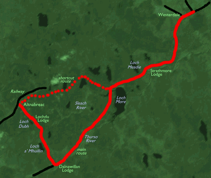
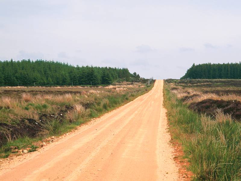
The majority of today's walk mirrors yesterday's in that it lays along forest and estate tracks, and the greater part makes use of the dirt road along the empty valley of the Thurso river. The route is simple; we continue southeastwards from Altnabreac, passing the ostentatious hunting lodge at Lochdhu and passing a couple more fishing lochs before joining the Thurso valley track at Dalnawillan farm and lodge. From there it's a straight march to the northeast, passing the odd abandoned cottage, swinging past Loch More and through yet more remote forest plantations, before coming out onto a tarmac road at Strathmore Lodge. In a couple more miles the road reaches Westerdale, not much more than a handful of cottages but the biggest place we've seen since Lairg. There is a "short-cut" alternative from Altnabreac to Loch More via forest roads, missing out Dalnawillan, should you wish to use it.
Believe it or not, the whole of today's walk runs along a bus route!
The bus in question is the Royal Mail postbus, which in practice is a
landrover
with seats for up to four passengers, and which makes the run from
Halkirk
to Altnabreac along these tracks each working day. It would be useful
for
a foul-weather escape en-route but is not much use as a means of
transport
to Altnabreac itself, which is better served by train. Time your
arrival
at Westerdale to catch either the school bus to Thurso or the postbus
to
Halkirk (for onward connections), else you will find yourself ringing
for
a taxi or walking a further five miles for a transport link to Thurso
or
Wick.
Maps: 1:25000 OS Explorers 450 (Wick & the Flow Country), 451 (Thurso & John O' Groats)
Click on any thumbnail image in this gallery to display the corresponding full size image. The images are access protected through a cgi script to prevent hotlinking. If you encounter problems while trying to view the full size images, please read the access advice page.
Photographic note: I'm well aware that
these
images aren't very good. Heather moorland is a difficult subject to
capture
even under good light; this day was no more than bright and suffered
from
early fog and mist. Maybe someday I can improve on them but for now
they
will have to do.
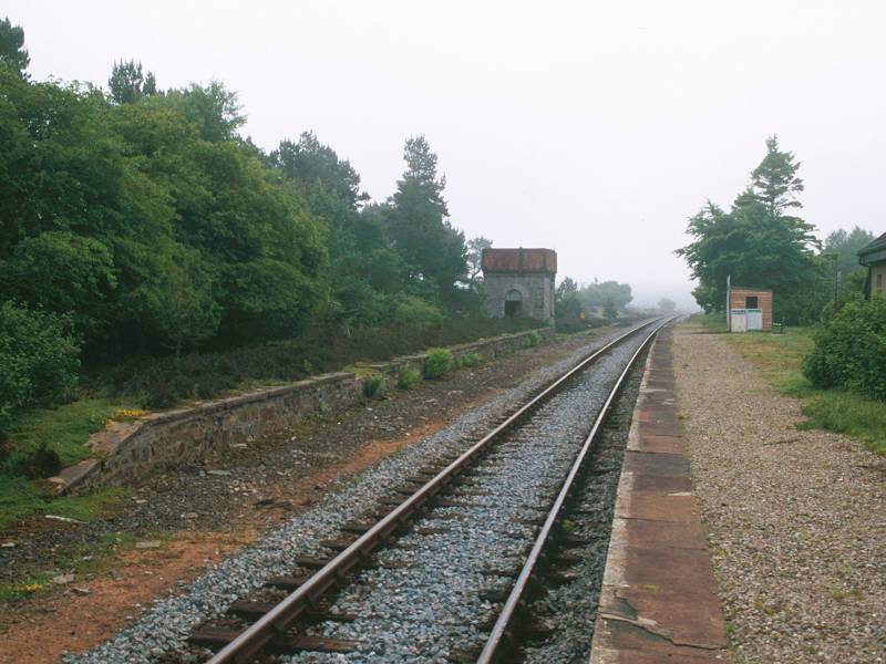
There's really only one way to get to Altnabreac, and that's to catch the 7am train out of Thurso. Altnabreac is a request stop so take the earliest opportunity you can to inform the train staff - either the driver or conductor - that you wish to get off there.
Altnabreac station is a glorious anomaly. There are two inhabited cottages here, two apparently disused cottages a little way down the track to the south, and the former Lochdhu Hotel, now a private residence, a mile further on. Given that stations such as Watten and Halkirk further up the line have been abandoned, it's a miracle that Altnabreac stays open. It is, by a long way, the most remote and little used station on the entire British railway network. Let's give thanks for its continued existence, for it's the key to both yesterday's and today's walk.
![]() Postbus
service Halkirk - Dalnawillan - Glutt Lodge - Altnabreac (warning, this
link crashes Netscape 4.7)
Postbus
service Halkirk - Dalnawillan - Glutt Lodge - Altnabreac (warning, this
link crashes Netscape 4.7)
![]() Scotrail
(North Scotland Line) timetable (.pdf document)
Scotrail
(North Scotland Line) timetable (.pdf document)
One of the two cottages announces itself as a school, though apparently this closed in 1986 and is now a private residence. You're highly unlikely to see anybody about. Just take the track due south from the eastern end of the platform, past the first cottage (which abuts the platform), and follow the curve around through the hollow, over a river bridge and uphill past two apparently disuded cottages into the forest. Before the curve another forest track leads off to the left; this is an alternative route to Loch More that will save you three miles of walking should you so wish.
If a small, frenetic and maddeningly tenacious dog attaches itself to you at Altnabreac and looks set to stay with you all the way to Westerdale, ignore it. I'm reliably informed (by a local resident from whom I sought advice) that it will follow you for miles but eventually give up and go home of its own accord.
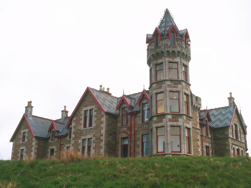
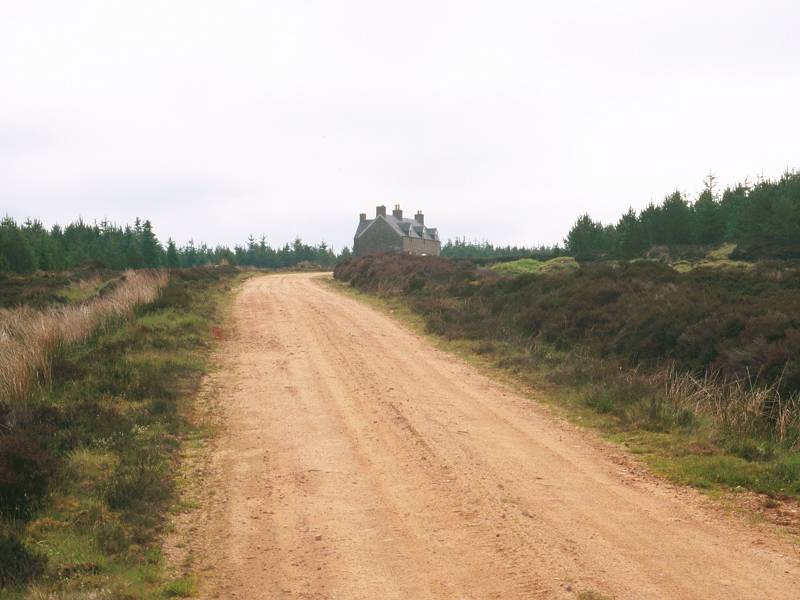
It's not long before the Lochdhu lodge - which of course was visible from the last few miles of yesterday's trek - appears above the treetops, and within minutes you draw level with it.
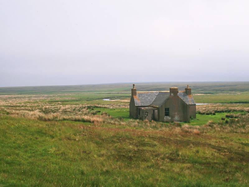
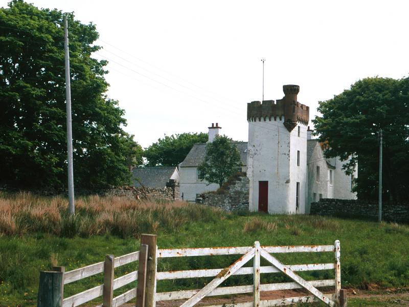
The lodge is marked on the maps as the Lochdhu Hotel, and I wonder how many travellers have alighted from the train at Altnabreac and hauled their luggage down the track in the hope that they might get a room for the night, only to be disappointed. The lodge, formerly owned by Lord Thurso, ceased to be a hotel in 1975 and is now a private residence. The present owner has been kind enough to contact me with some information on its history; it was built in 1895, twenty one years after the railway station opened, all the building materials being tranported by rail because the vehicle track did not then exist. It looks quite incongruous out here in the middle of nowhere.
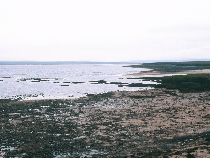
Loch Dubh (black lake) itself, standing opposite, is a small and unphotogenic body of water some 300 meters long by 200 meters wide, and is probably used for fishing.
End of the forest; Loch a Mhuillin
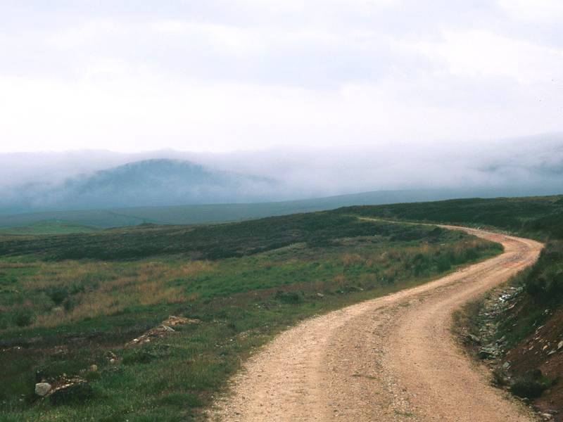
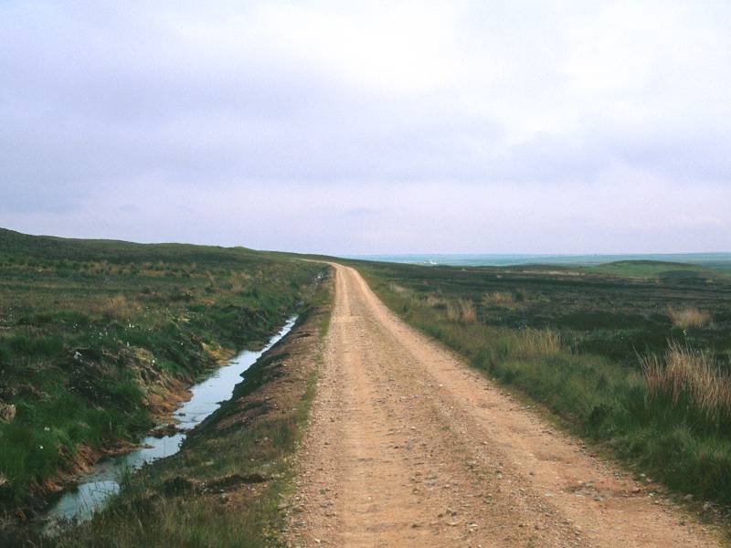
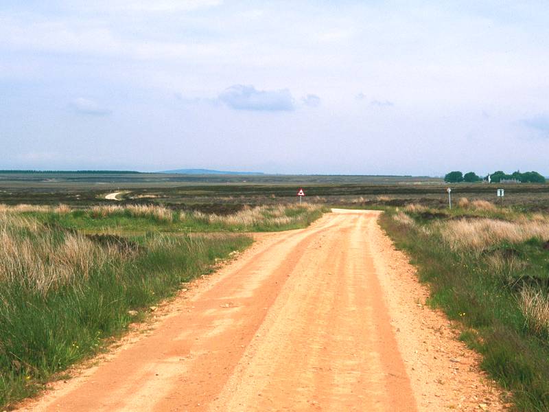
A mile and a half from Altnabreac the track reaches the summit of its shallow climb at 172m elevation, and leaves the forest to enter an area of virgin heather moorland. In another mile you pass the lonely Loch a Mhuillin, somewhat larger than Loch Dubh but equally lacking in scenic value. There is nothing to see here but the hills to the south and southwest; the Ben Griams are probably lost to view by now but the hills south of the Thurso river are well seen, with the cone of Morven beyond, and further west is the main Flow Country ridge - Kinbrace is the other side of those hills, and a direct approach could have been made by those adventurous enough to tackle the pathless and boggy wilderness of the Knockfin Heights.
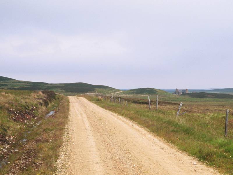
Three and a half miles out of Altnabreac you approach Dalnawillan.
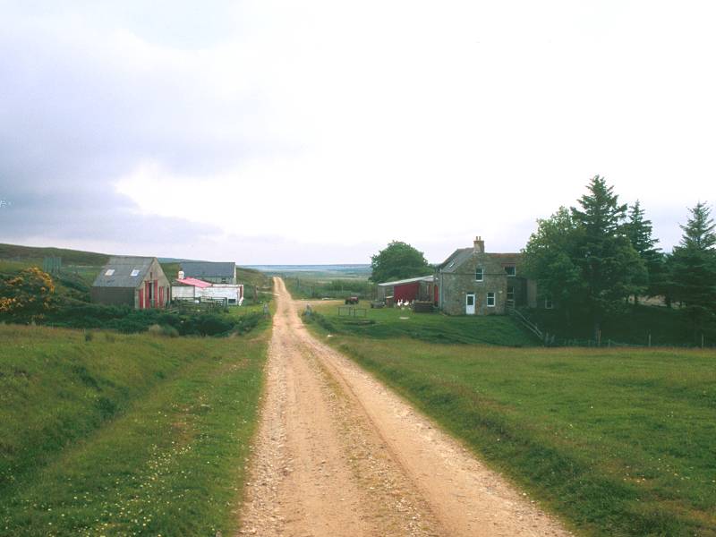
You can see Dalnawillan from nearly a mile out. At first it looks as though there are three buildings there; as you get closer it becomes obvious that the one highest up the slope is actually a walled cemetery, a feature which seems to be characteristic of much of Caithness. The silence is deafening though you will become aware of the hum of a generator as you get closer.
The path reaches a t-junction as it joins the main track along the valley of the Thurso river. Dalnawillan lodge stands to your right. The track to the right leads eventually to Glutt Lodge and ultimately peters out below the Knockfin heights. A little way to your left is Dalnawillan farm. Turn left and walk past it. Unfortunately you'll set the dogs off; there are kennels opposite the farm. Best to ignore them, and keep marching on until you can hear nothing but wind and skylarks once again.
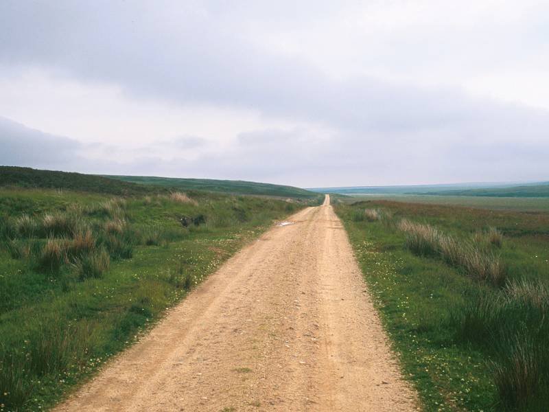
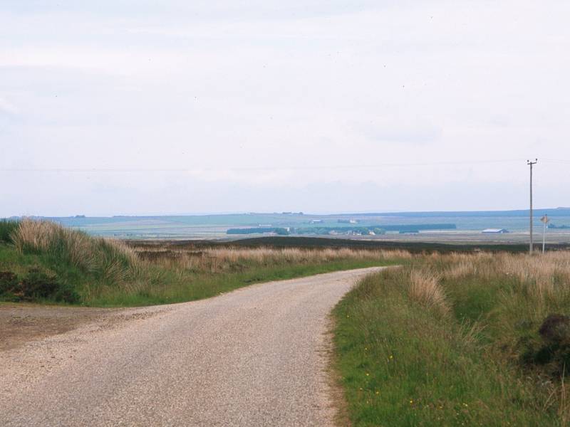
The next three or four miles are very lonely indeed. There is nothing but featureless moorland beyond the Thurso river, and the three cottages that the map shows beside the track turn out to be ruins or empty shells. The map also depicts a remarkable number of "gravel pits, disused" along the track at fairly regular intervals. It would be a fair bet that these are not the result of quarrying operations in bygone centuries but rather the sites from which the stuff that makes up the road surface was taken.

It would be surprising if you saw anyone out here at all. Between Altnabreac and Strathmore Lodge I encountered one woman in a car who pretended I wasn't there, and one mountain biker who stopped for an enjoyable chat and who enthused at length about his local "patch". The RAF are likely to be your only company.

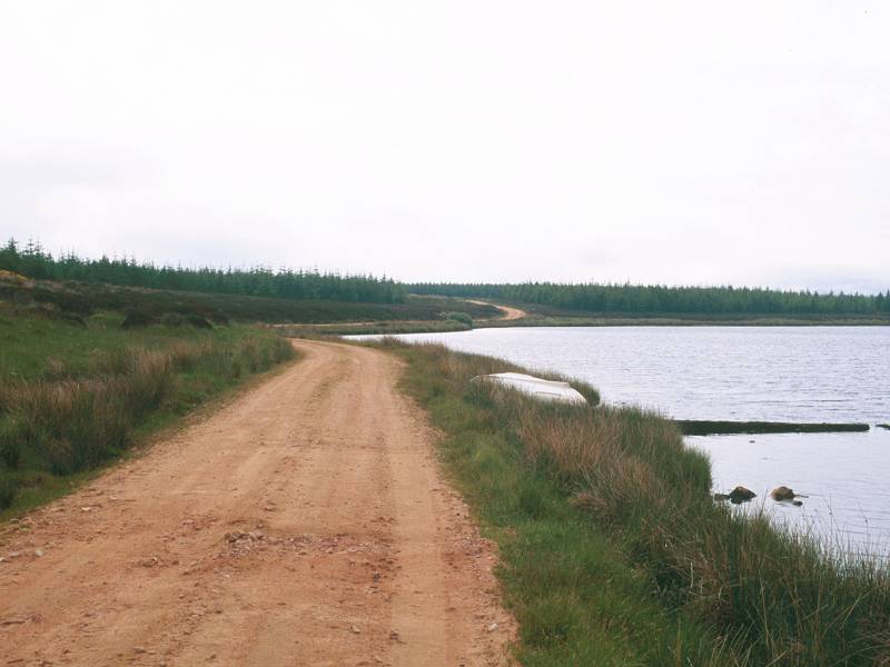
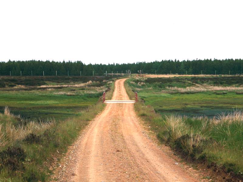
First view of Loch More; the track crossing Sleach Water; Sleach Water
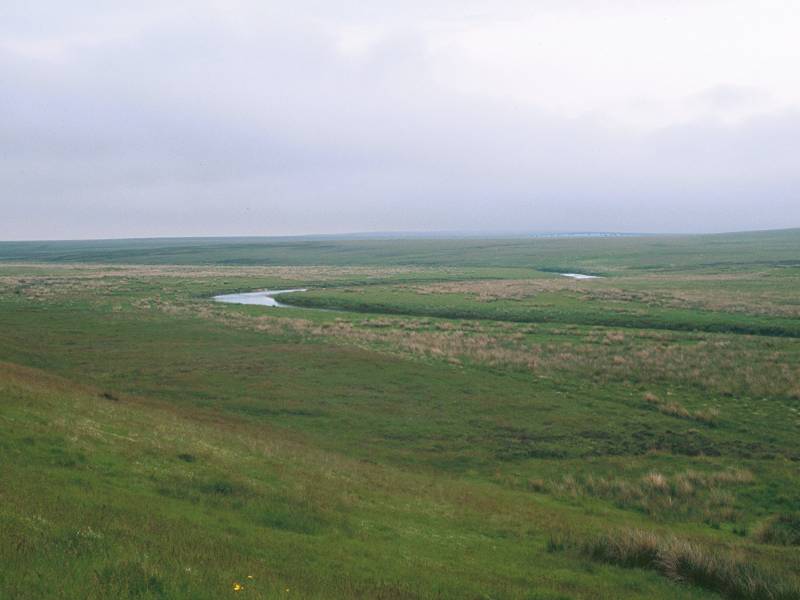
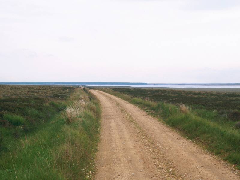
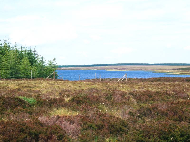
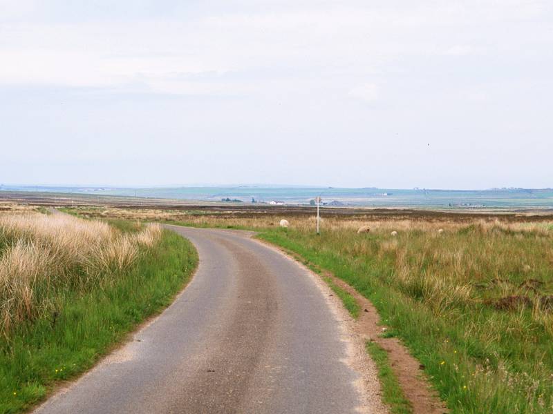
Loch More is another fishing loch and another largely unphotogenic body of water; as befits its name (which translates as "big lake") it's the largest loch hereabouts, being some 2.5km north-south by 1km east-west. The track approaches its northwest corner, crossing Sleach water (the same stream you crossed back at Altnabreac), which is wide enough here to act as a long, narrow offshoot of the loch proper. You reach the corner of a forest plantation on the far side of the bridge, from which another track emerges; this is the other end of the "shortcut" route from Altnabreac (and which has kept as far north of Sleach Water as our main track has kept south). You're about 5 miles out of Dalnawillan at this point, and 8½ miles out of Altnabreac; probably a good time to stop for lunch.
The track kinks to the right at the path junction and follows a more east north-easterly direction alongside the north shore of Loch More, and crosses another area of open moor before entering another forest plantation.
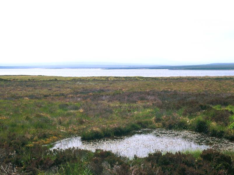
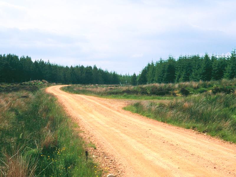
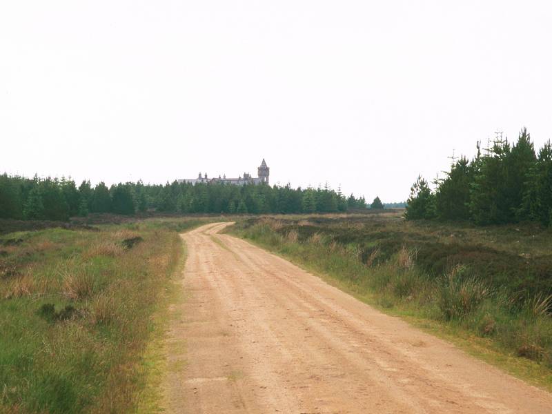
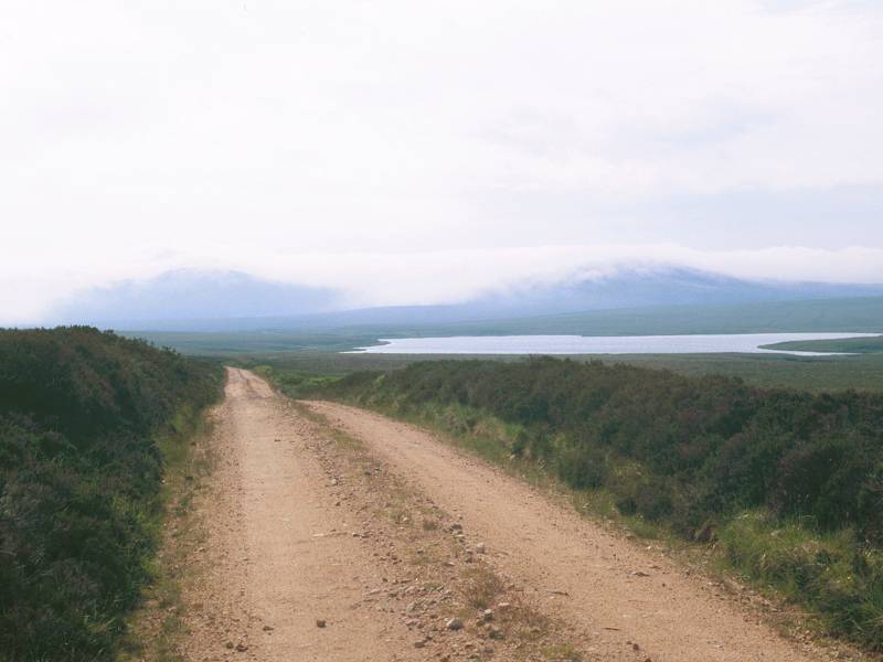
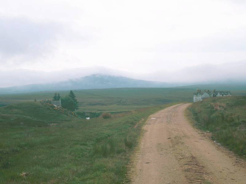
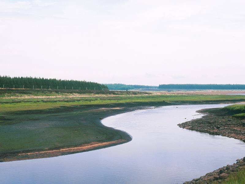
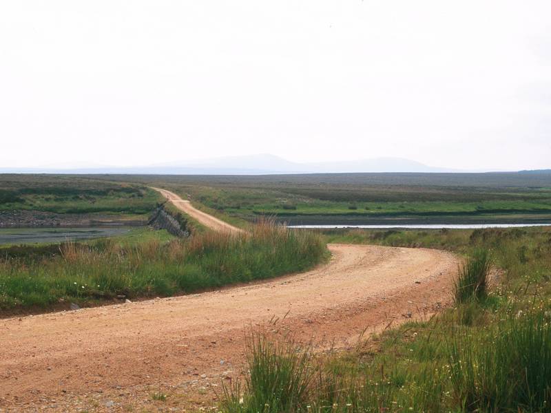
It's a distance of about a kilometre through the nameless forest plantation. As you emerge from its eastern edge you meet the public road system; the track joins the road to Westerdale, which has just merged from the right from its ultimate destination at Lochmore Cottage. From this point virtually all the remaining journey to John O'Groats is on tarmac. To your left is the southern end of Loch Meadie, certainly a more picturesque body of water than any other you have seen today, and about a kilometre ahead of you is Strathmore Lodge.
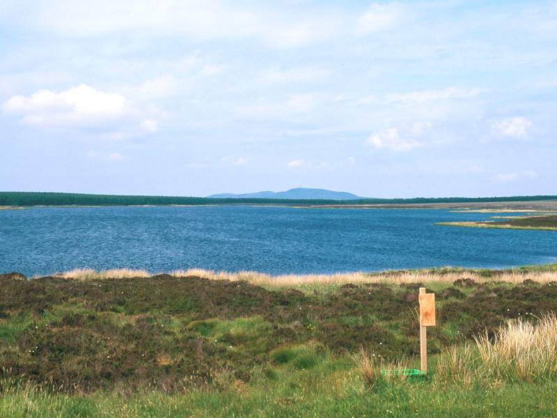
Loch Meadie and Strathmore Lodge
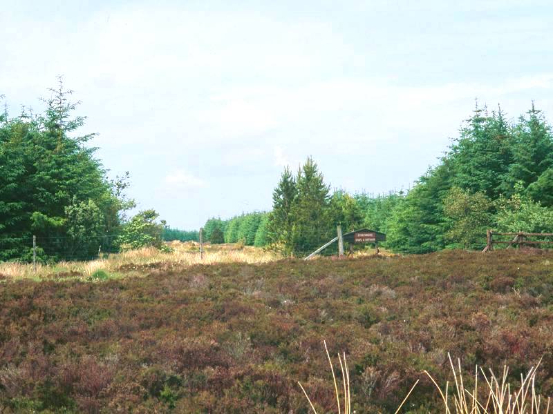
Strathmore Lodge is, unlike Lochdhu or Dalnawillan, a going concern; it caters primarily for the hunting and shooting brigade but otherwise is apparently open for public booking. It's an unusual structure, but quite a handsome one.
![]() Strathmore
Lodge website
Strathmore
Lodge website
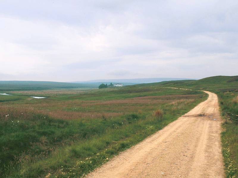
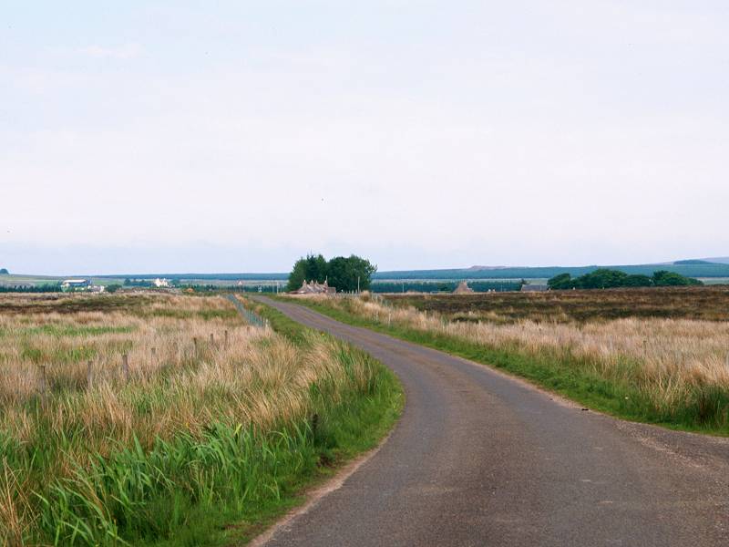
Beyond Strathmore the country does not soften appreciably and the surrounding views are of more empty, featureless moorland. About a mile east of the lodge the road veers away northwards, away from the Thurso river and up a slight rise. After a further three quarters of a mile you reach the southeast corner of yet another forest plantation and, just beyond this, the first outpost of civilization comes into view - Westerdale.
Approaching Westerdale
If Strathmore Lodge was the first inkling of a general change then the second is a group of sheds standing at the next bend, looking very much like a council road mending depot. Ho-hum, that's civilization for you. But ahead of you is a real change in the landscape. The blanket moorlands are falling behind and ahead of you is a patchwork of enclosures and scattered communities - Caithness in a nutshell. In fact you can see most of it from here. The coast is still two days' march away but, in terms of landscape and terrain, you've reached the last section of the walk.

Just past the sheds that might or might not be a council depot, you walk off the top of the Achavanich map, and it's time to pull out the Halkirk sheet. It confirms what you are seeing, namely that Westerdale is but a mile and a half away.
You first pass a road junction; the B870 road to your left leads off to Scotscalder, though if you feel like breaking off here to get the train remember that Scotscalder is four and a half miles away and there are only three trains a day. Westerdale itself isn't much, but it's the biggest place you've seen since Lairg; in fact we've only two more places worthy of being called places still to visit, and one of those is John O'Groats itself. There's a handful of cottages here, a bridge over the Thurso river with a picturesque view of a mill immediately to the north, and then you're out again.

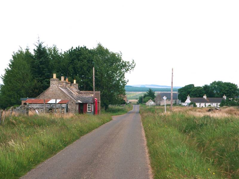
Corner Cottage
Nine hundred meters beyond Westerdale is Corner Cottage, from where an unclassified road leads northwards to Halkirk, five miles away.
![]() If you time
your
arrival well you can get the Postbus
from here to Halkirk (be warned that its timings are likely to be very
fluid), or alternatively there's the school bus (weekdays only and not
at all during school holidays, obviously) that does a double loop via
Halkirk
and Spittal; catch it at 1555 for Thurso as it comes down the road from
Halkirk and turns left onto the Mybster road. (It's already been to
Westerdale
half an hour before but goes to Halkirk and then returns). Your only
alternative
is to walk to Scotscalder for a late evening train, or to Halkirk for a
bus. Both are a five mile walk away.
If you time
your
arrival well you can get the Postbus
from here to Halkirk (be warned that its timings are likely to be very
fluid), or alternatively there's the school bus (weekdays only and not
at all during school holidays, obviously) that does a double loop via
Halkirk
and Spittal; catch it at 1555 for Thurso as it comes down the road from
Halkirk and turns left onto the Mybster road. (It's already been to
Westerdale
half an hour before but goes to Halkirk and then returns). Your only
alternative
is to walk to Scotscalder for a late evening train, or to Halkirk for a
bus. Both are a five mile walk away.
|
|
||
| Forsinard to Altnabreac | Back to North of Scotland Way index |
|
This page last updated 26th April 2002
![]()