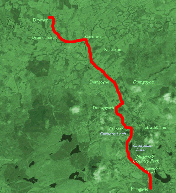
| Croy to Milngavie | Back to West Highland Way index | Drymen to Rowardennan |
| Croy to Milngavie | Back to West Highland Way index | Drymen to Rowardennan |
The walking is easy.
being predominantly on vehicle tracks, lanes, and abandoned railway
lines;
some five miles of the old North British line between Coatbridge and
Killearn
Junction has been adopted for the West Highland Way. This first section
also traverses Allander Park, an area of heath immediately north of
Milngavie,
and Mugdock Country Park, a predominantly wooded area on the
Dumbartonshire
/ Stirlingshire boundary. Despite its proximity to Glasgow the route is
almost entirely rural - the village of Drumquhassie is the only place
of
any note that this section passes through, and it ends half a mile east
of Drymen (from where buses are available to Balloch or Stirling).
Maps: OS
Explorer 1:25000 sheets 348 (Campsie Fells), 347 (Loch Lomond South)
![]() Train
times, Glasgow to Milngavie (pdf document)
Train
times, Glasgow to Milngavie (pdf document)
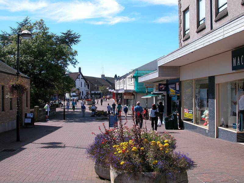
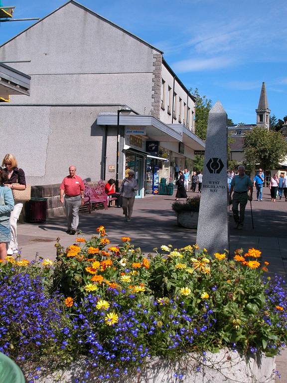
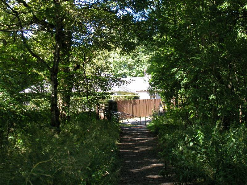
Milngavie (pronounced "Mill-guy") doesn't have the air of a place from which adventures are launched. It's just like any small town, which presumably it once was until the conurbation of Glasgow crept up and all but swallowed it. The compact town centre is charming and smart. A stone obelisk in the high street marks the official start of the West Highland Way.
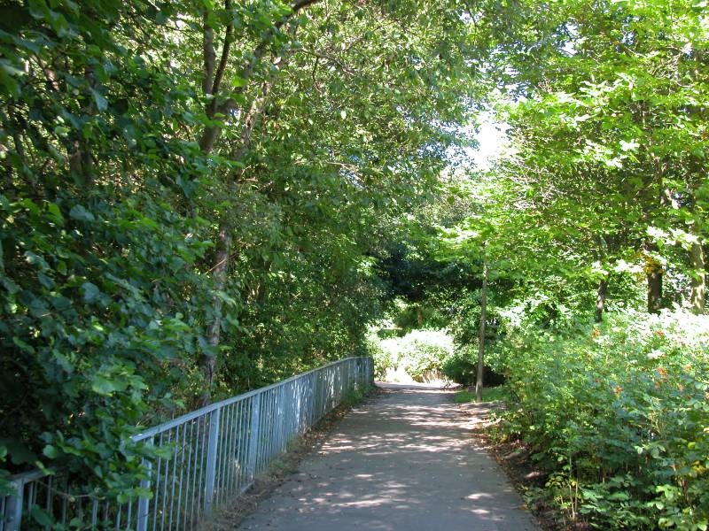
The path out of Milngavie alongside Allander Water
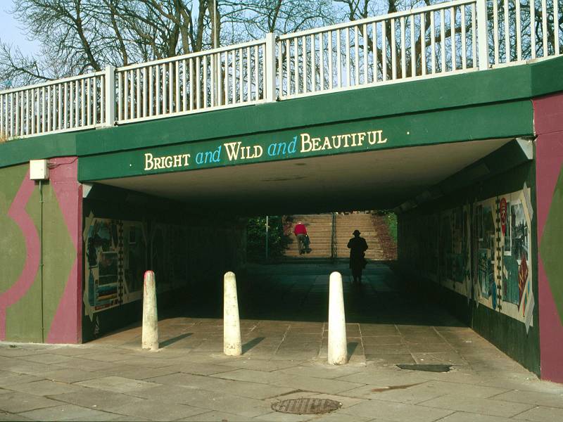
The route first heads along the high street to the north west but soon turns right, onto a path through a narrow ribbon of trees alongside Allander Water. This ribbon of greenery soon becomes substantial, though it's notable from the map that it's threading a course between Milngavie's built-up areas which are visible to either side. Eventually the town falls behind and the riverside walkway enters Allander Park.
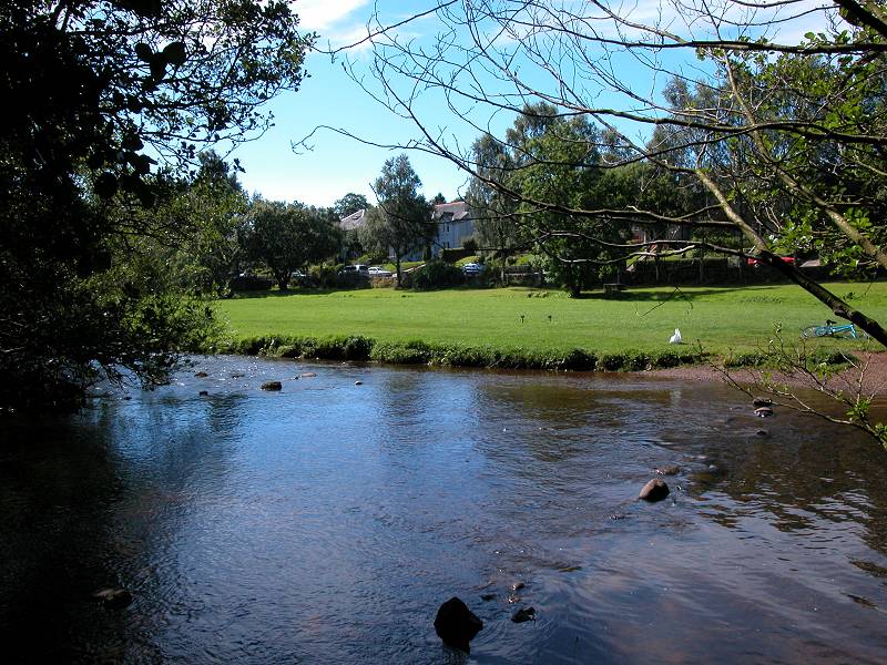
Allander Water
Allander Park
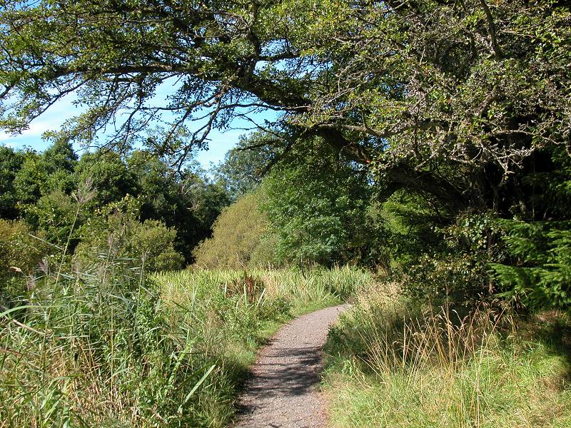
Allander Park lies immediately north of Milngavie and is a mixture of woodland and open heath. The Way climbs a slope away from the riverside, rewarding the walker with brief views of the city to the south.

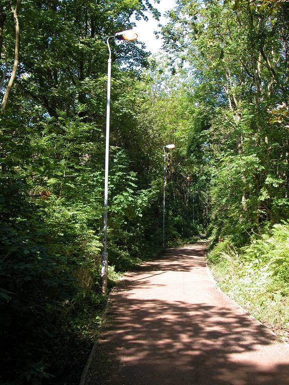
The West Highland Way in Allander Park
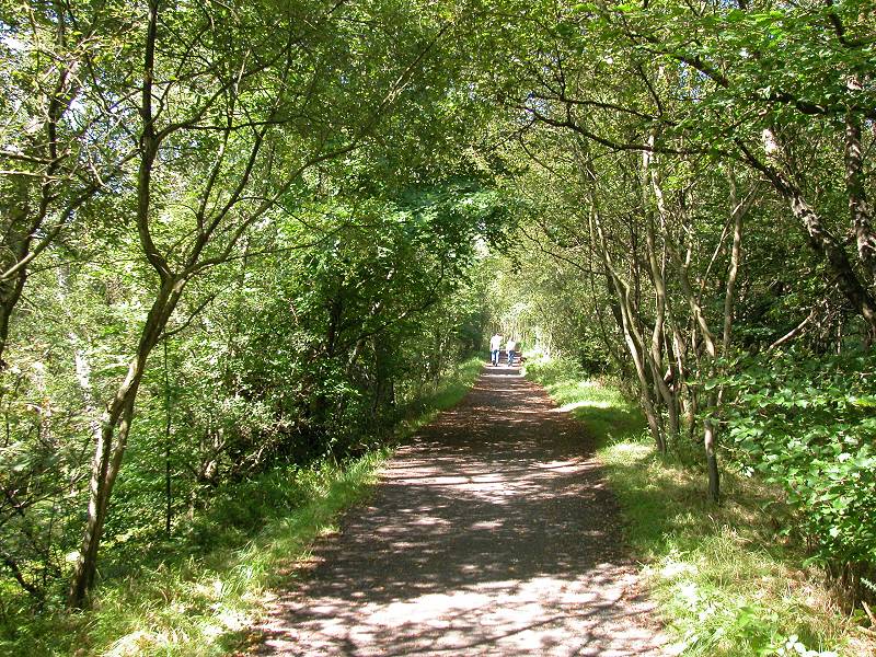
The track swings northwestwards to come down to the riverside once again, and a substantial path leads the walker across the county boundary into Stirlingshire, and the environs of Mugdock Country park.

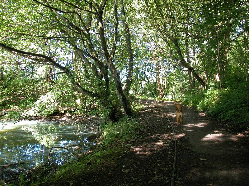
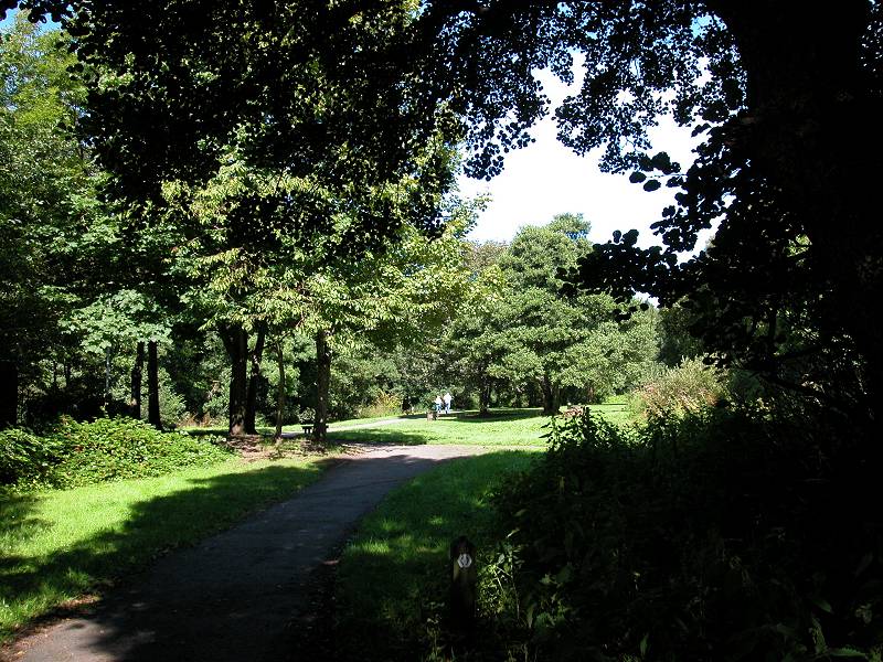
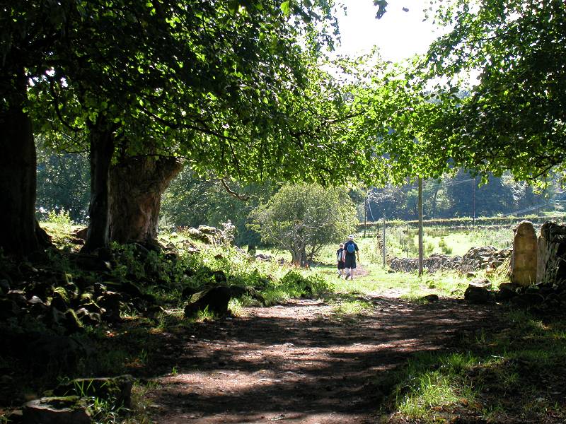
Mugdock Wood
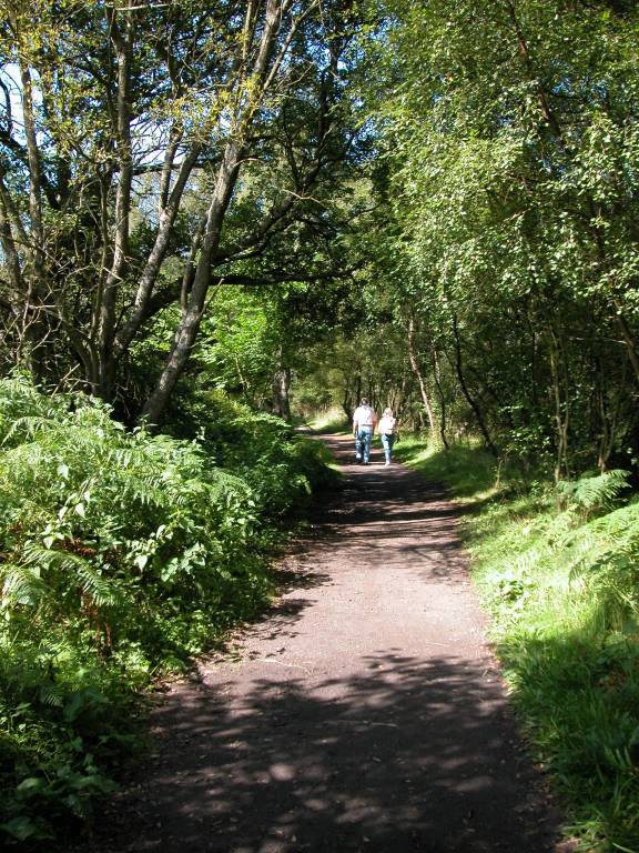
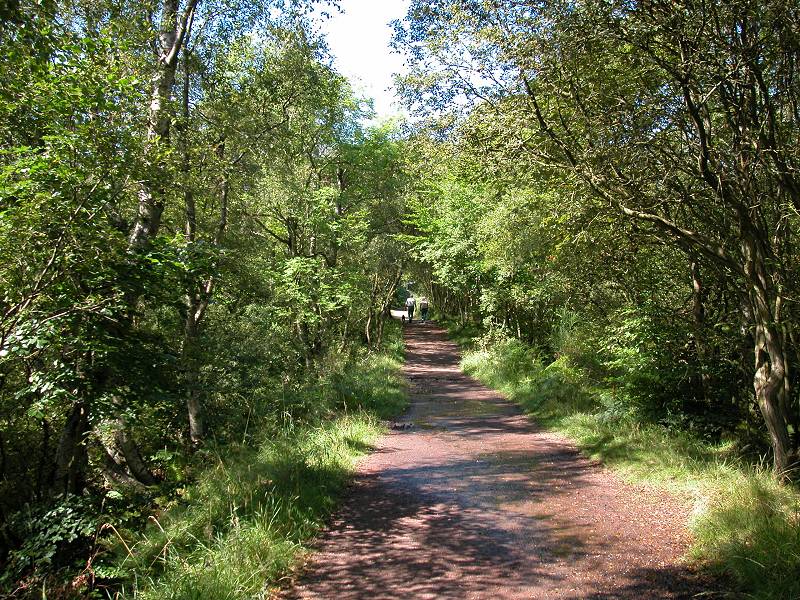
Mugdock Country park is an outdoor activity centre. The grounds boast a lake and a castle ruin, while the park itself offers pursuits such as horse riding, orienteering and cycling. Mugdock Wood occupies the southwestern part of the site, and it is through the wood that the WHW wends its way northwestwards, sticking fairly close to Allander Water and the Dumbartonshire boundary.
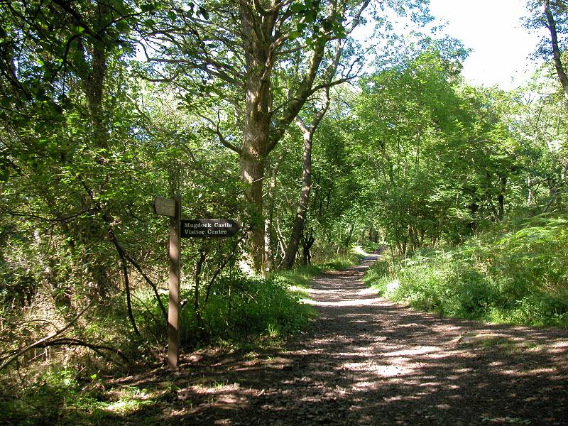
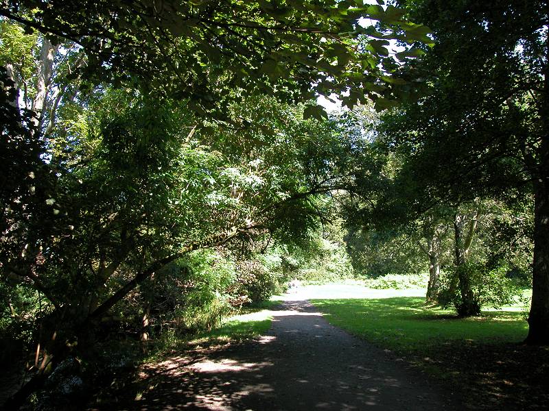
The West Highland Way in Mugdock Country park
The West Highland Way leaves Mugdock in the vicinity of Craigallian Bridge, where the first motor road is crossed.
The West Highland Way at Lower Craigallian
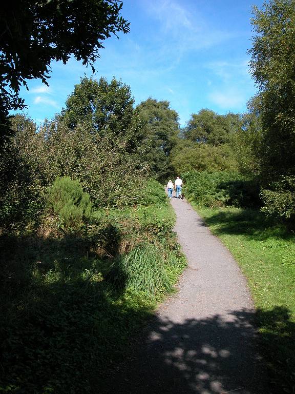
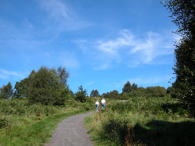
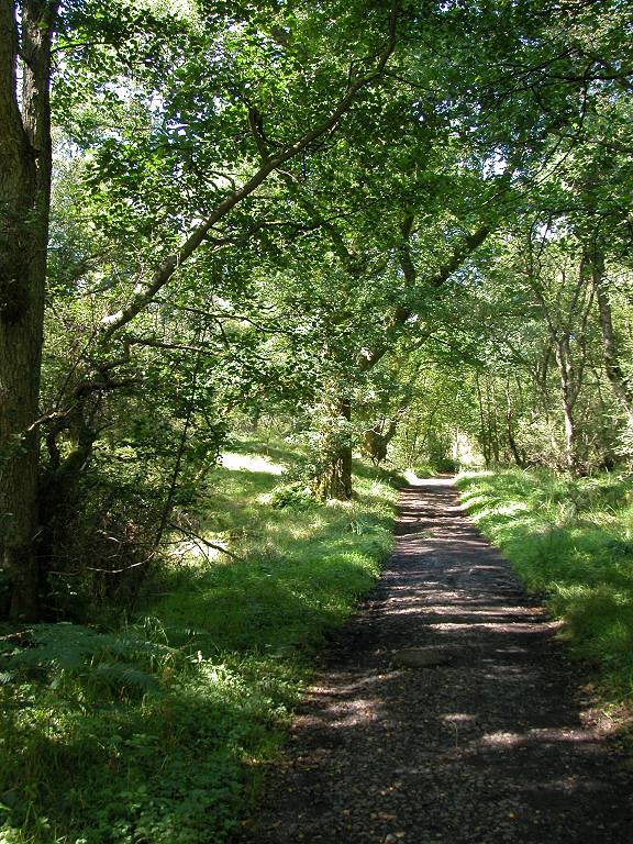
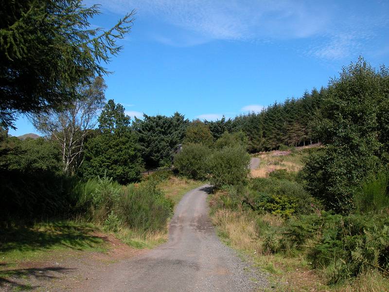
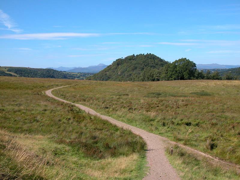
For the next two miles the West Highland Way follows a lonely course along a track through the woods that lay between Mugdock and Carbeth. The route passes the locality of Lower Craigallian and then rounds the small wooded knoll of Scroggy Hill.
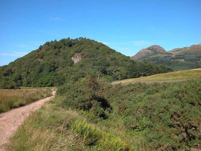
The Way in the vicinity of Craigallian and Scroggy Hill
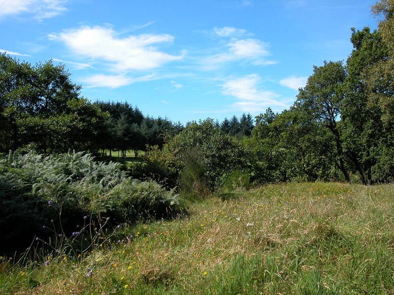
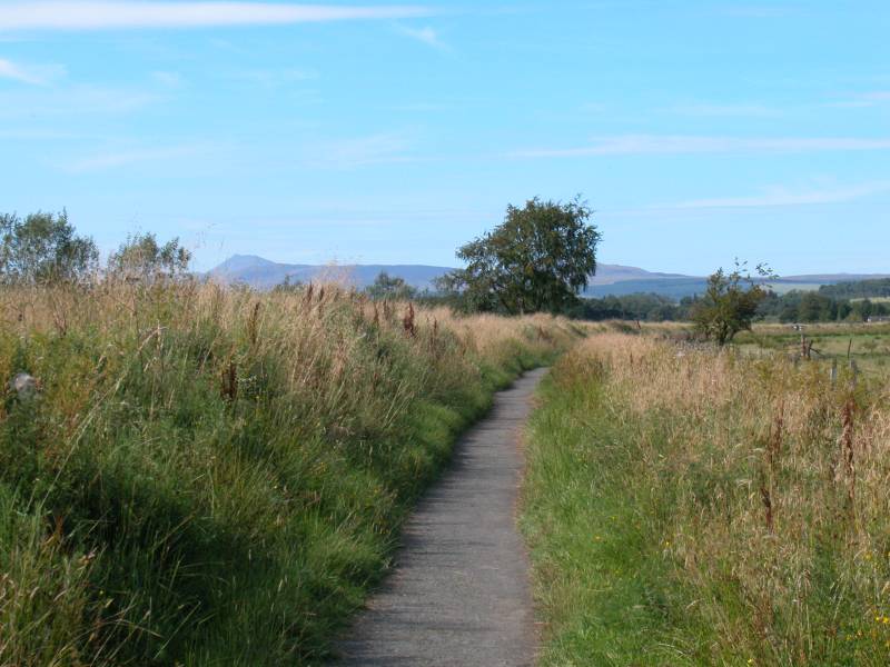
The route now turns slightly right, heading more or less due north. The Allander Water more or less peters out round about here. The path runs along through areas of rough pasture fringed by extensive forest plantations, passing the small but pleasant Craigallian Loch along its west shore. If the weather is kind you may get your first view of Dumgoyne hill.

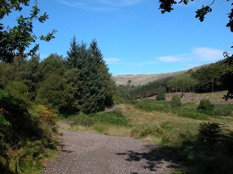
Craigallian Loch
The track to Carbeth
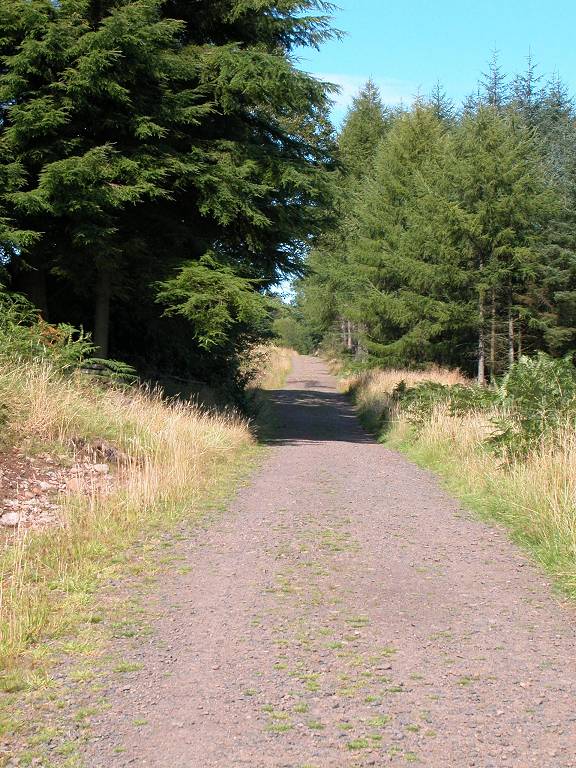
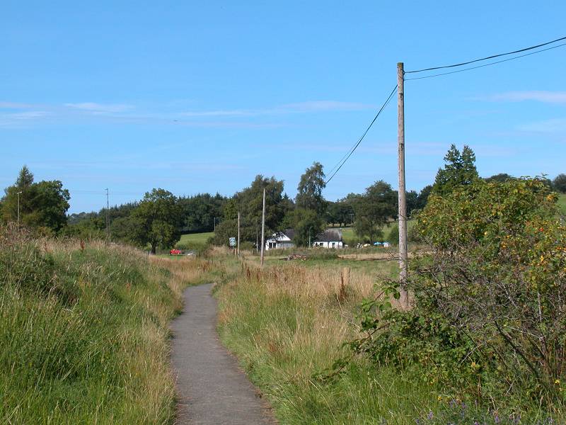
North of Craigallian Loch the track runs almost dead straight, through the forest plantations fringing the unseen Carbeth Hill to the left. Eventually the woods give out to reveal the tiny locality of Carbeth.

The West Highland Way at Carbeth
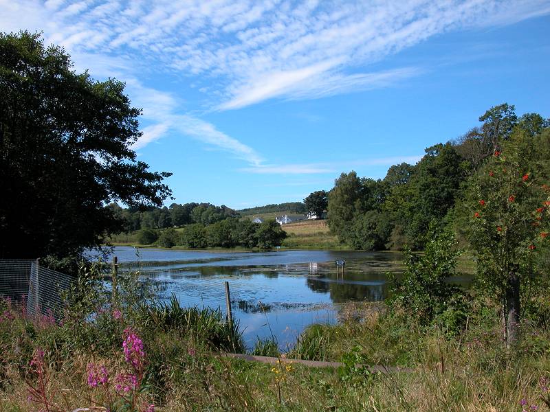
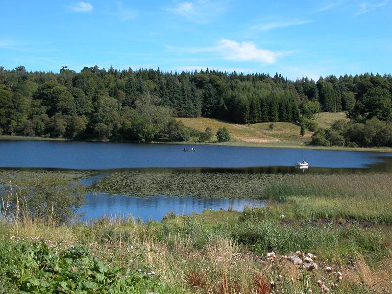
Carbeth Loch
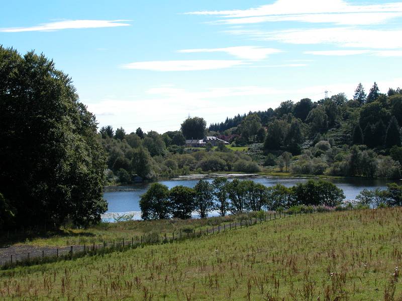
The route runs past Carbeth and then the pretty expanse of Carbeth Loch, with the white cottages of Easter Carbeth beyond. The track comes out onto the B821 road to Strathblane. Turn left here and walk along the road for 500 meters. Carbeth Loch appears to your left once again.
As you reach Easter Carbeth there is a signboard pointing to the right, off the road. This is the continuation of the West Highland Way, which now rises along a vehicle track to the lonely farm building of Arlehaven, atop a minor ridge between Carbeth and Strath Blane. The lower few meters of this track are prone to flooding.
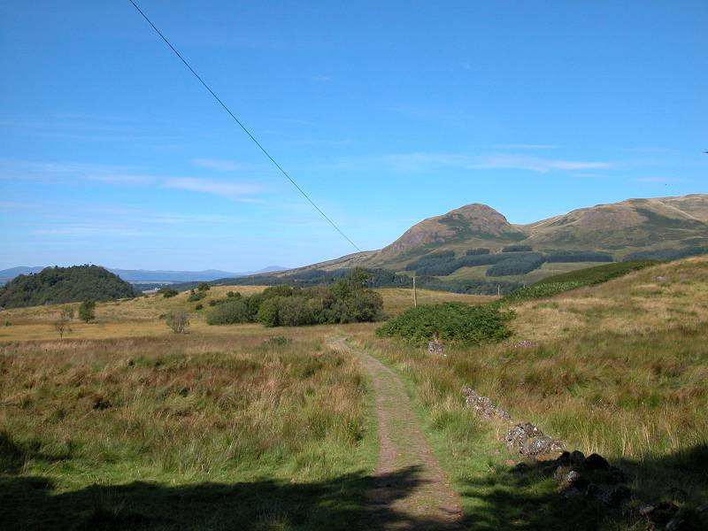
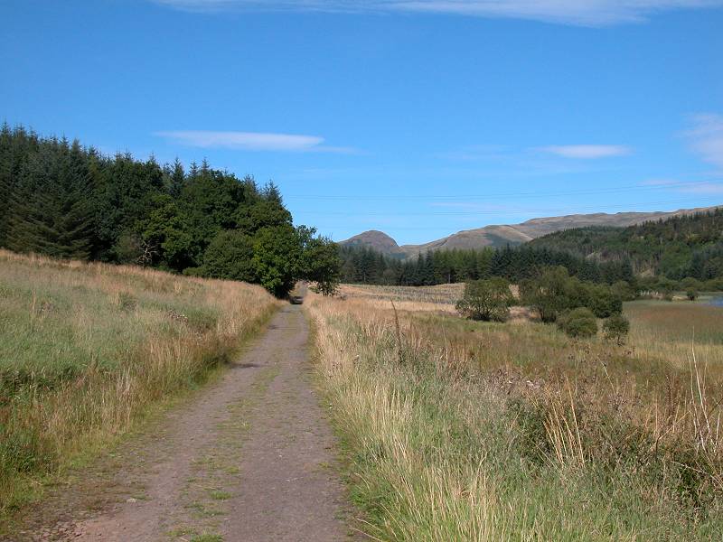
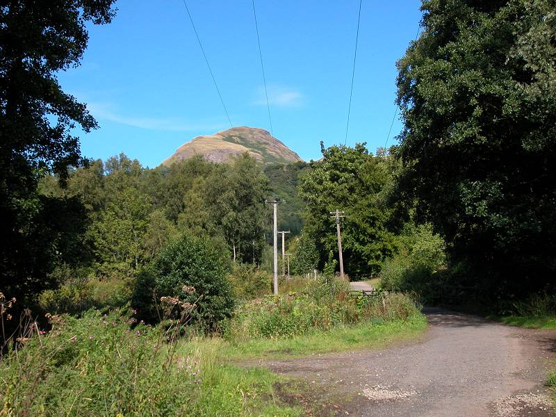
Views of Dumgoyne and Ben Lomond
The West Highland Way, Arlehaven
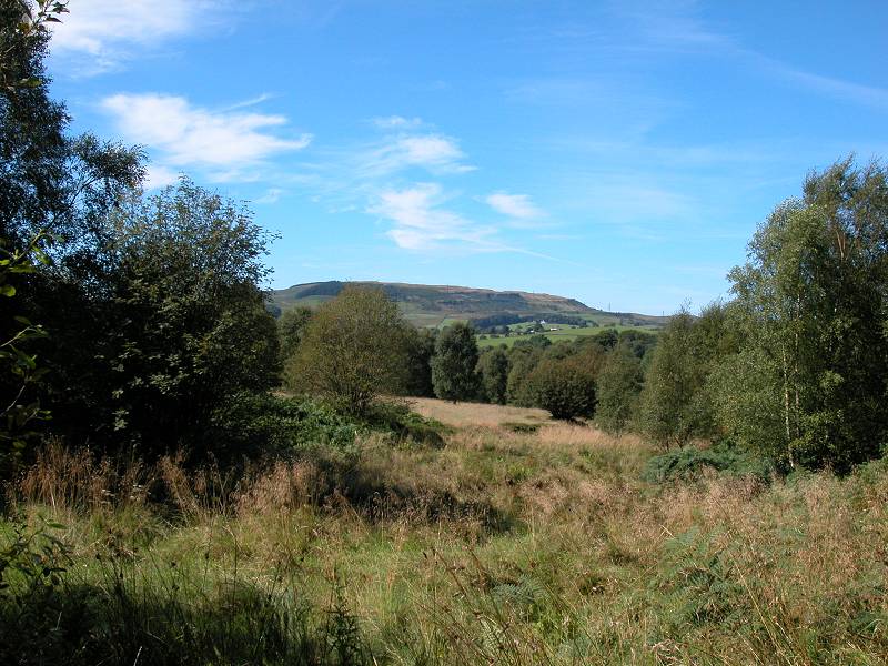
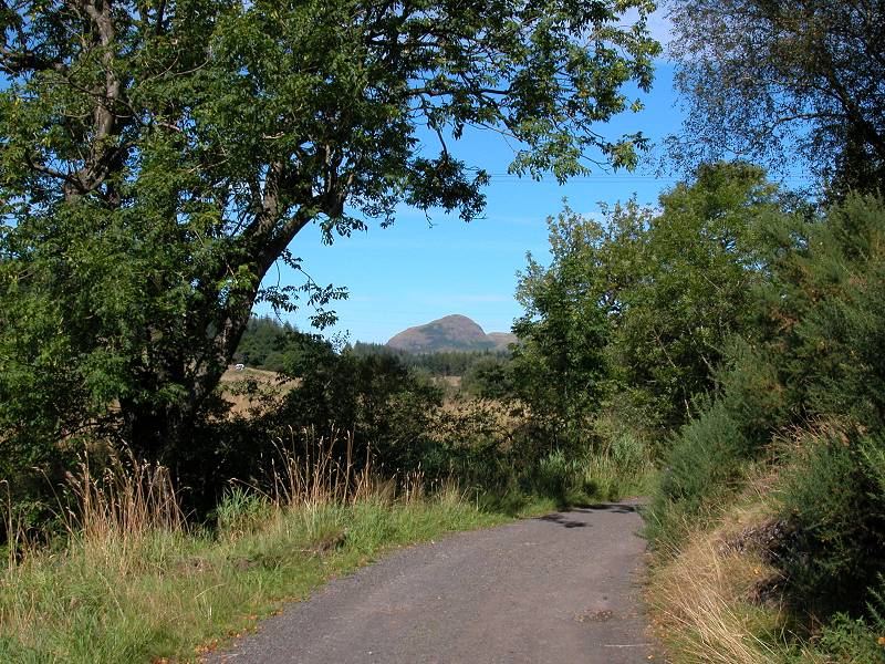
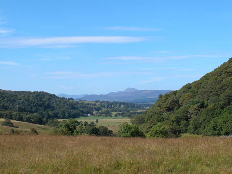
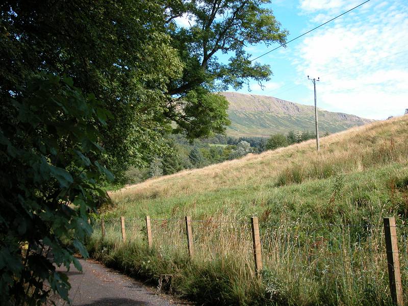
As you near Arlehaven some views opens up. Across Strath Blane is the butt-end of the Campsie Fells. The most prominent summit of the fells is Dumgoyne, elevation around 1500ft, which the guidebooks tell us is an extinct volcano. West of north you will get your first view of the Highlands proper as Ben Lomond appears on the skyline. Just pass Arlehaven, about 600 meters after leaving the road, the WHW leaves the Arlehaven track for a lesser path to the left.
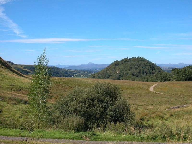
The West Highland Way rounding Dumgoyach
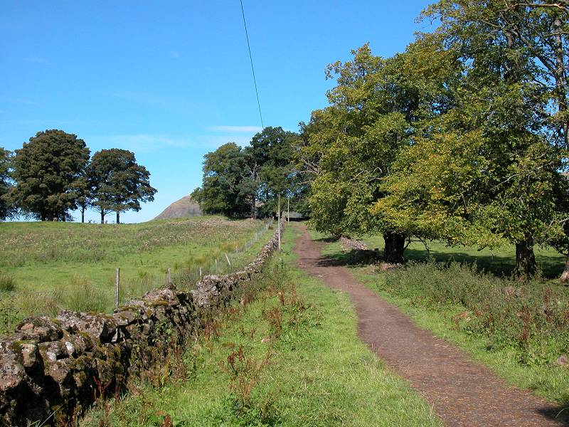
Dumgoyach is a very prominent wooded round hill, which the West Highland Way rounds to the left, or western, side. The track is still of excellent quality though the surrounding landscape is yet again one of rough pasture fringed by low hillocks and woods. The track bends around Drumgoyach to arrive at the farm of the same name.

Dumgoyne hill and the Dumgoyach farm drive
At Dumgoyach Farm the West Highland Way turns right along the fenced farm driveway, passing a small wood to cross the Blane Water at Dumgoyach bridge. Immediately afterwards you reach the trackbed of the abandoned Strath Blane railway line. The Way follows the trackbed to the northwest for the next five miles.
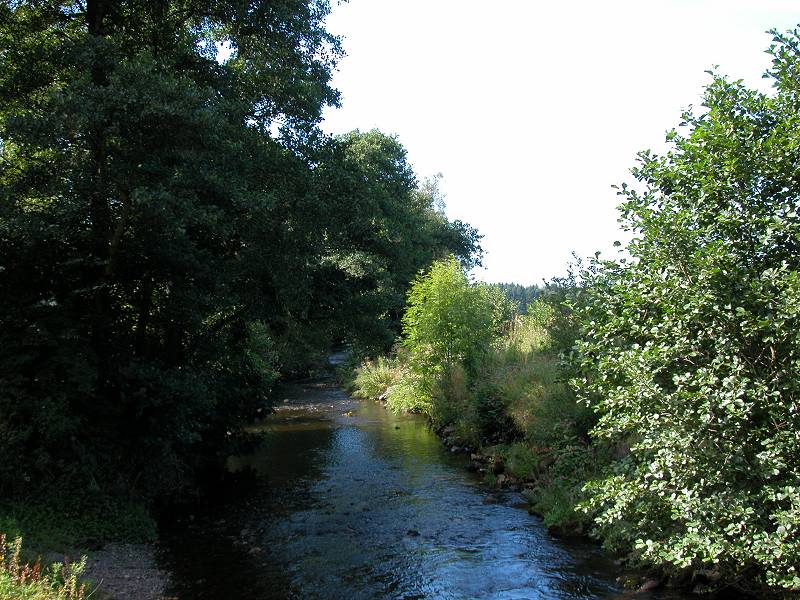
Blane Water and the Strath Blane railbed
The road crossing at Dumgoyne
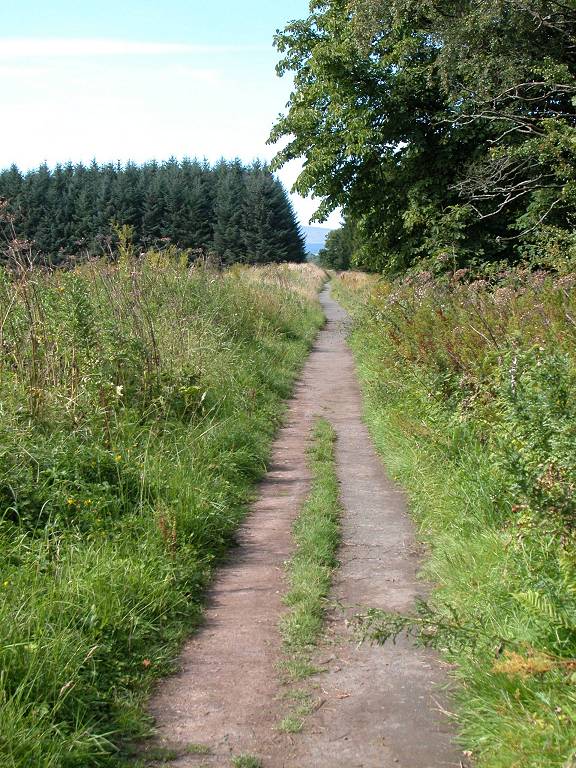
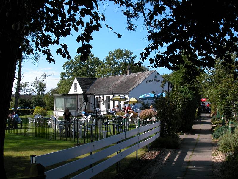
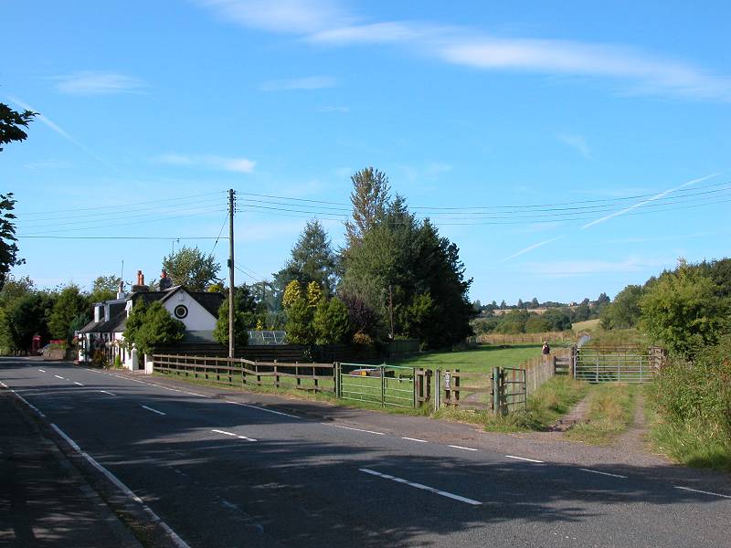
Once you're on the old railway trackbed the walking becomes effortless. The scenery of Strath Blane is pretty open; there is surprisingly little development even though the main A81 Strathblane - Stirling road is not far to your right. The Burnfoot Distillery glides past. After about a mile and a half of railbed walking you come to Dumgoyne, where the main road crosses to the left. There is an inn, a post office and a handful of cottages here. The old railbed, still carrying the West Highland Way, curves left to hit a straight run west of the town of Killearn.
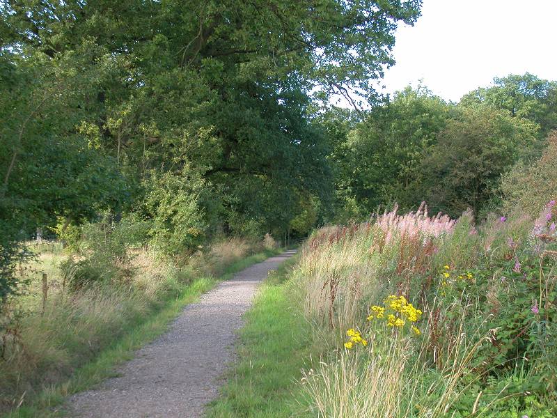
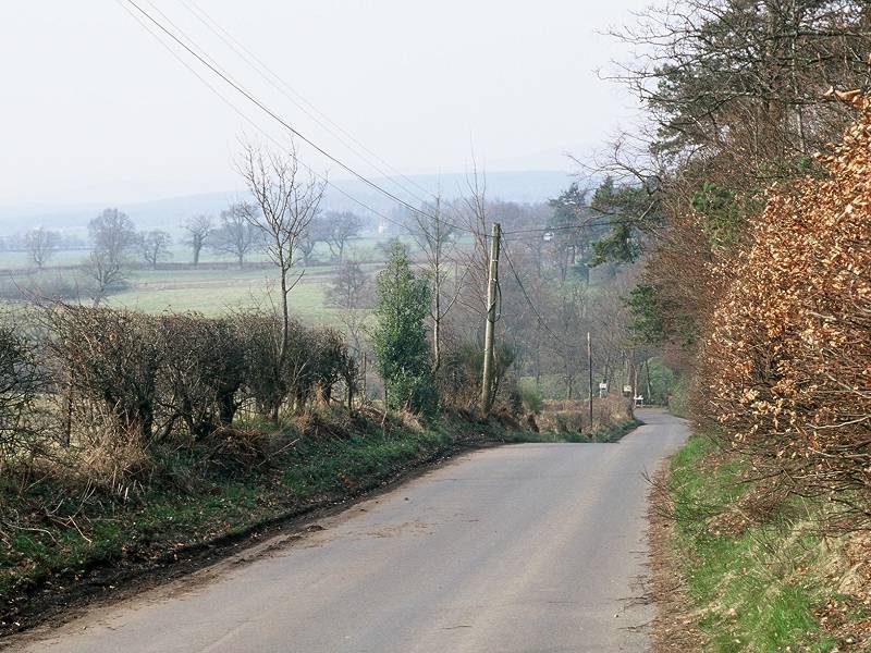
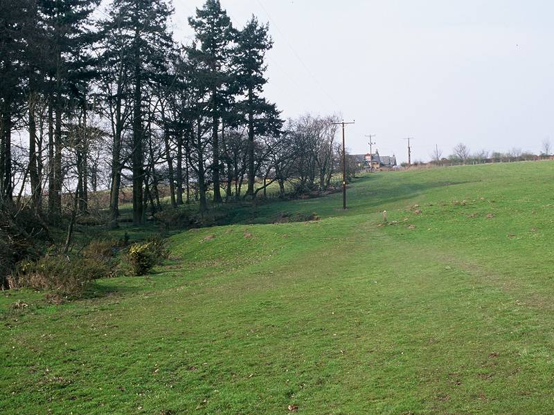
Strath Blane railway west of Killearn
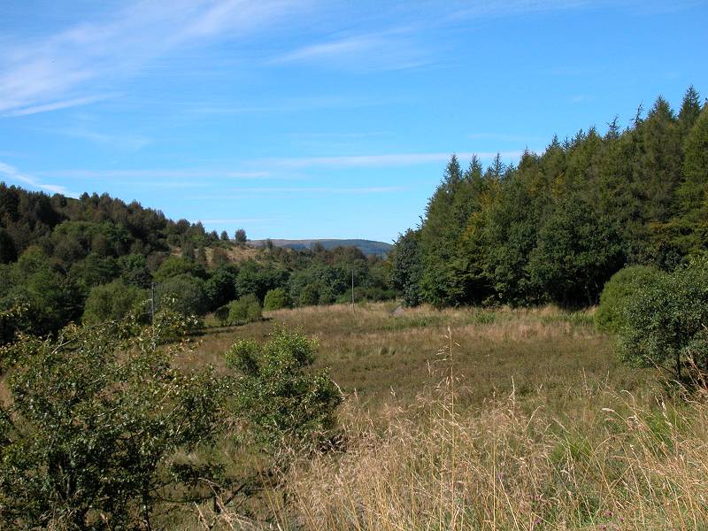
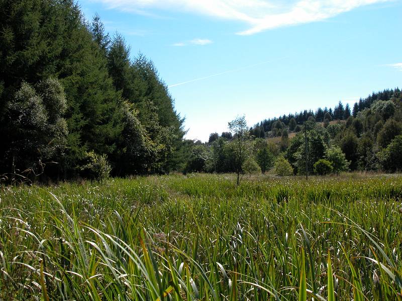
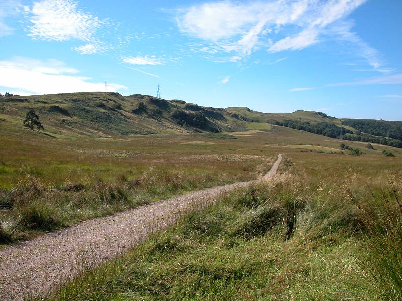
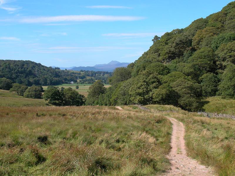
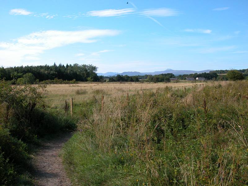
The scenery doesn't change much. The A81 runs close to the left, beyond a narrow belt of woodland. There's the odd cottage here, a couple of factory farm sheds there. We're coming into the valley of Endick water here, low-lying country which features several marshes among the river's lazy and convoluted meanders as it heads for the southwest tip of Loch Lomond. The hillocks have fallen away but the pastures and pockets of woodland remain, dotted now amongst a landscape that undulates uncertainly without ever forming definite hills or ridges.
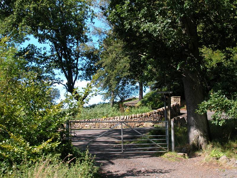
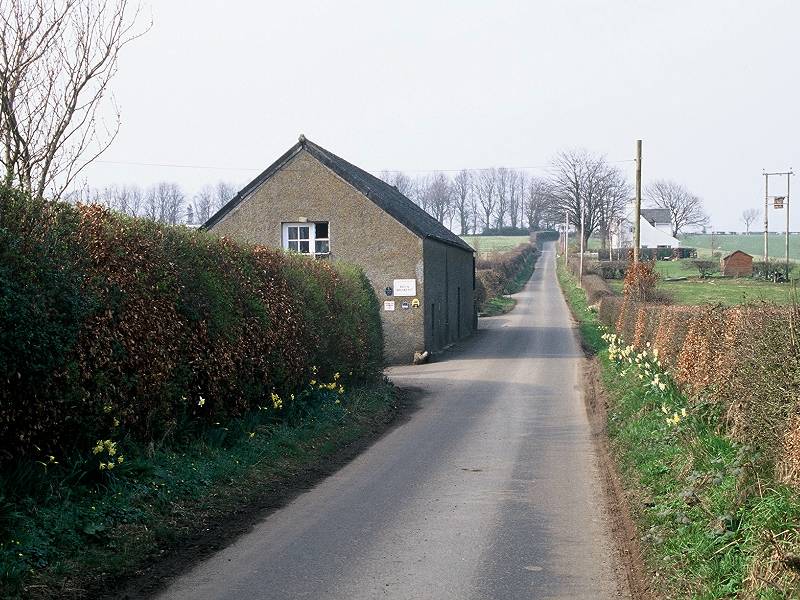
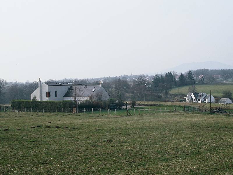
Croy Cunningham
The railway crosses the B834 road at Blane Wood, then the A81 again north of Croy Cunningham.
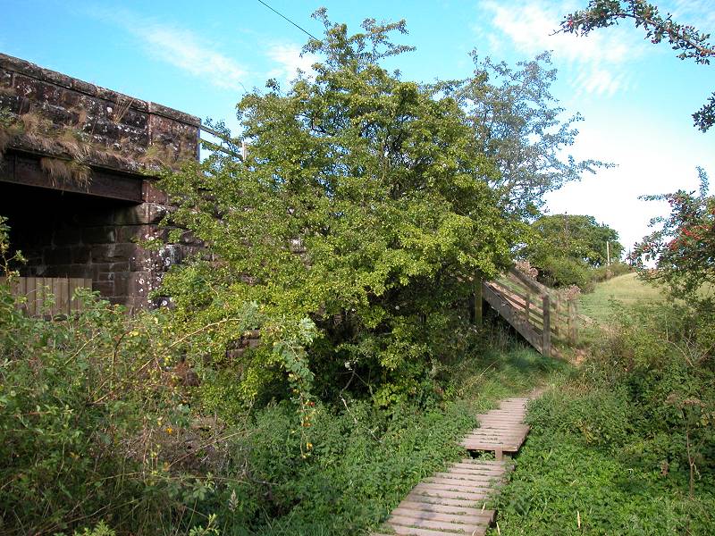
Final stretch of railbed; Drumore bridge
The end of the railbed section is reached at a stopped-up bridge that carries the Drumore lane over the old railway. Wooden planking has been provided here to carry the path over a boggy bit to gain the slipway up the bank to the road. Turn left, crossing the Endick water just beyond at Gartness.
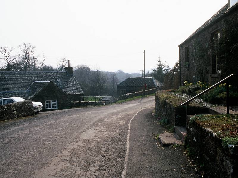
The West Highland Way at Gartness
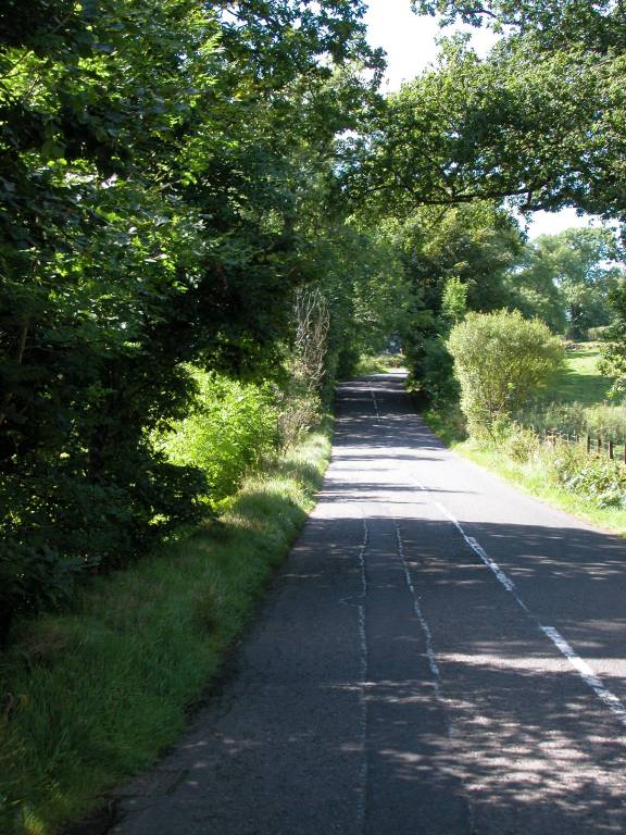
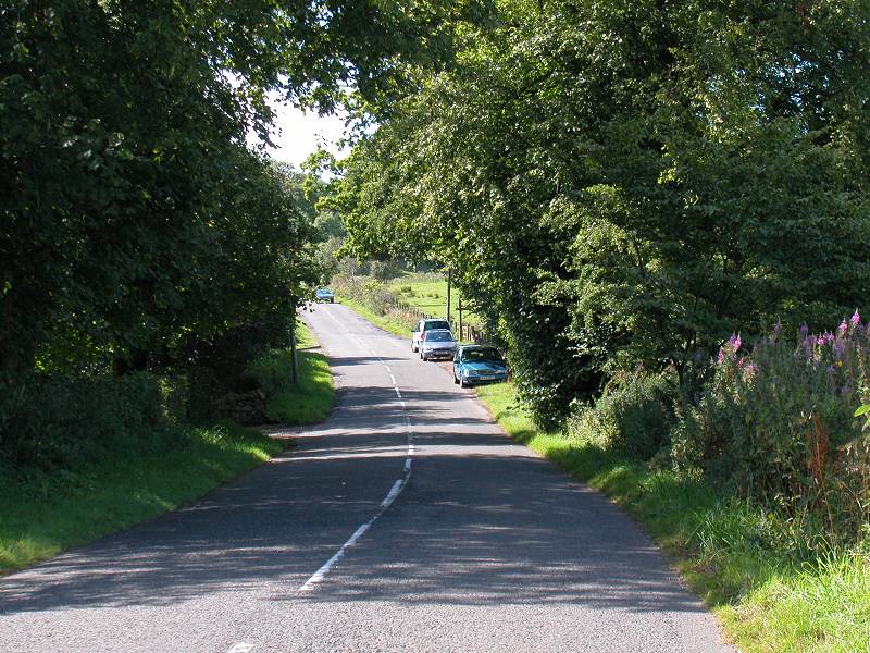
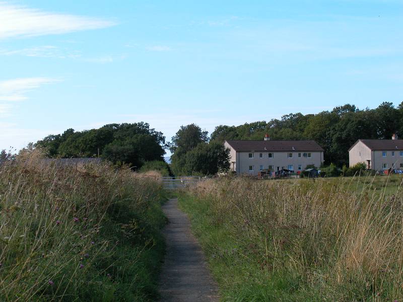
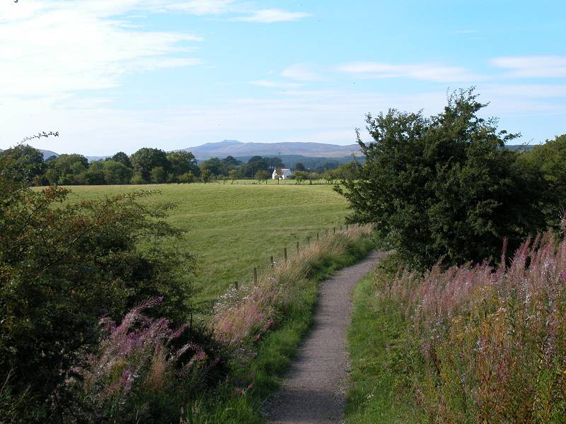
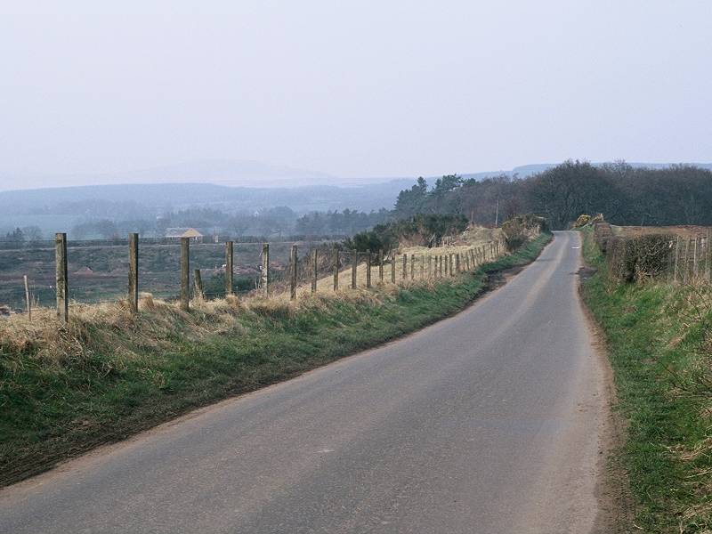
Almost all the rest of the day's walking - some 2½ miles - lays along country lanes, which is a welcome respite from the muddy morass you've just left behind. The lane runs through the locality of Gartness just beyond the river bridge. Gartness, like so many localities hereabouts, is no more than a farm and a handful of cottages. The lane curves gradually round to the right over most of the next mile, resuming the West Highland Way's general northwest direction and running beside yet another abandoned railway track (Killearn Junction to Alexandria).
Park of Drumquhassie
About a mile out of Drumore the old railway line tends off to the southwest, leaving the lane to cross the Altquhur burn and run into the village of Drumquhassie
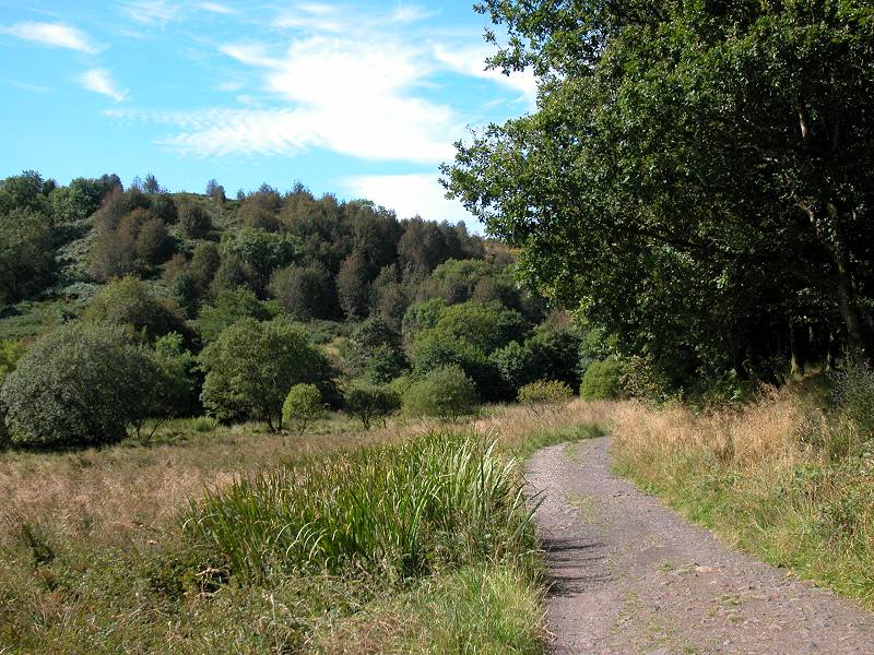
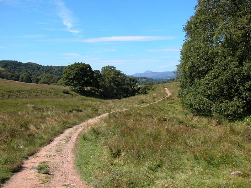
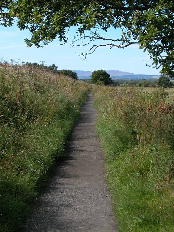
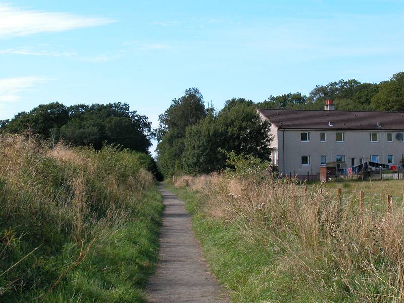
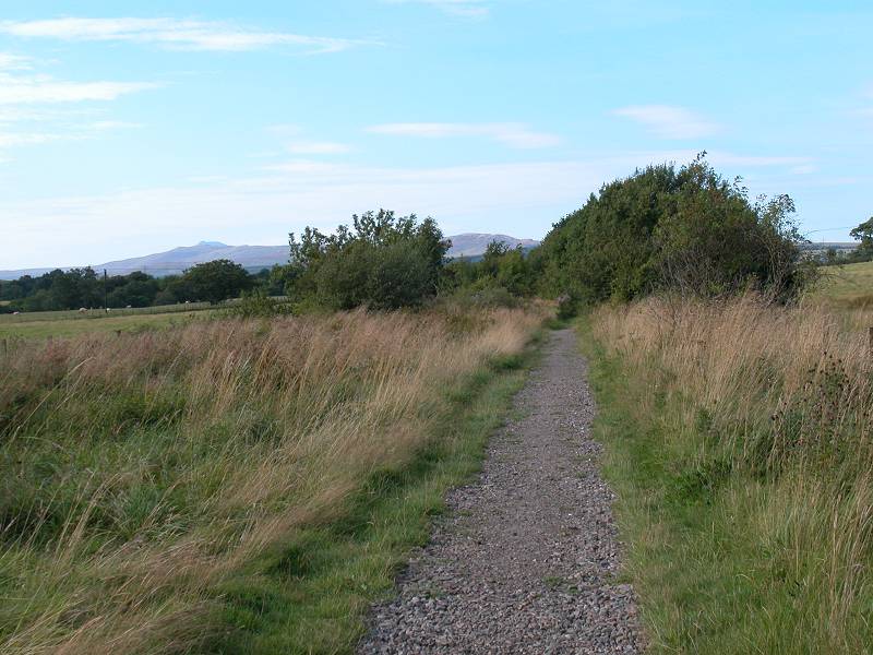
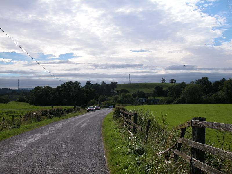
There isn't much to Drumquhassie but it's pretty much the biggest place you pass through since leaving Milngavie this morning. Through and beyond the village the lane runs in several very straight sections joined by gentle curves; this might almost be another abandoned railway line. There's the promise of a more varied landscape up ahead, as the dark mass of the Queen Elizabeth Forest Park looms in the distance with hillier country beyond.
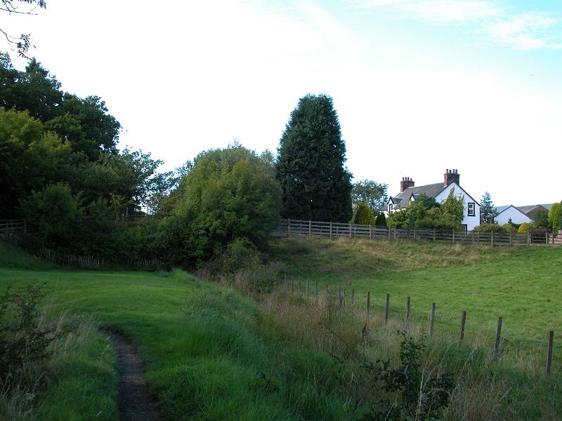
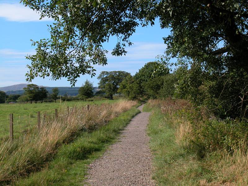
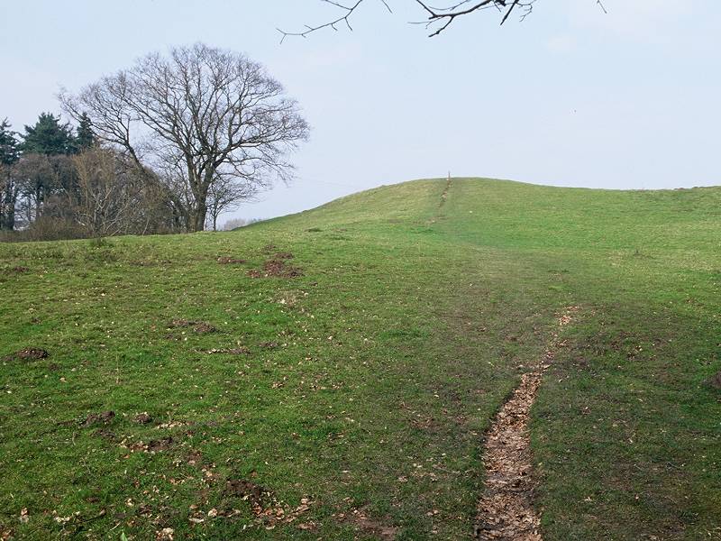
Gateside
At the end of the third straight run of road, which heads noticeably downhill for the final hundred yards, the road turns sharp left at the locality of Gateside. The road is heading directly for Drymen; if you're tight for a bus or need to escape bad weather then by all means end the day's walk here. The west Highland Way, however, runs straight ahead along a field boundary and for the next five hundred meters it indulges in an energetic little run up a minor hillock. At least, it's minor on the map but pretty substantial to tired legs. On the far side of the hillock you come down to the true end of walk one, as you hit (not literally, please) the A811 Balloch - Stirling road. Drymen lies half a mile to your left.
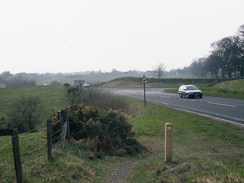
The West Highland Way skirting Drymen; the A811 and the end of the first day
Walk into Drymen for your night's B&B or the bus to Balloch, Stirling or Milngavie. There appears to be no official camping provision but local farms might allow tents to be pitched; ask at the tourist information centre in the village.
|
£4.00
inclusive
of postage / packing. |
| Croy to Milngavie | Back to West Highland Way index | Drymen to Rowardennan |
This page last updated 16th October 2003
![]()