| Taunton to Langport | Back to Somerset Way index | Street to Wells |
| Taunton to Langport | Back to Somerset Way index | Street to Wells |
Maps: 1:25000 OS Explorers 129
(Yeovil),
141 (Glastonbury & Wells)
Click
on
any thumbnail image in this gallery to display the corresponding full
size
image. The images are access protected through a cgi script to prevent
hotlinking. If you encounter problems while trying to view the full
size
images, please read the access advice
page.
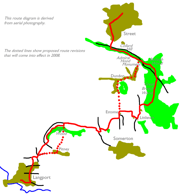
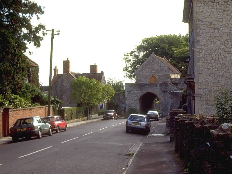
You can if you wish head north out of the town centre, turning left after the railway bridge onto the Somerton road; however, a superior route heads southwest out of the town centre along Up Street and then past the church along The Hill,, which passes beneath an unusual structure, the original 13th century gate which at one time would have been part of the town walls. A building known as the "hanging chapel" sits atop the gate. Since 1596, when it ceased to operate as a chapel, the building has seen use as a community hall, a school, a museum and a Masonic lodge.

The Hill, and the gateway and hanging chapel
![]() Langport's website
Langport's website
Once past the gatehouse continue along the Huish road (A372) past another church. About 400m beyond the church look out for a footpath to the left, which runs through pleasant scenery close to Mill Brook along the eastern edge of the town. The path dives under the railway and eventually comes out onto the B3153 Somerton road. Cross this road for another footpath heading for Pound Farm.
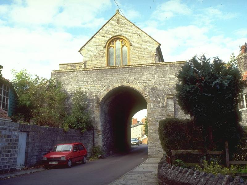
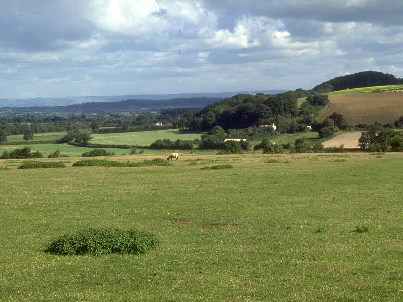
Turn right onto the road at Pound Farm (first image above) and follow it about 300m to the east, then turn left and go uphill for a short distance to another junction (second image above). Skirt a small waterworks enclosure and then continue on a footpath in the same direction, heading downhill across Sheep Sleight near the village of Pitney.
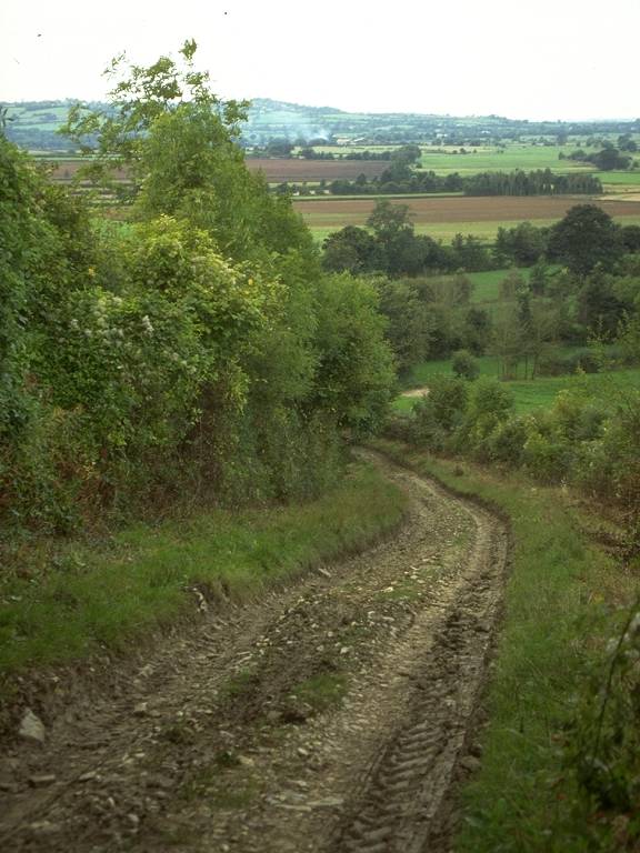
The Sheep Sleight path
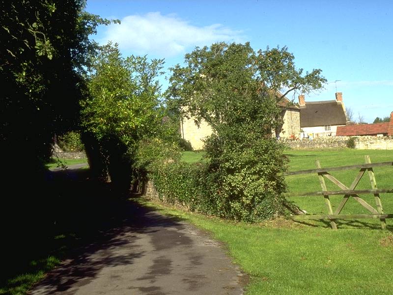
The Sheep Sleight footpath continues across pastures in a northeast direction, crossing the small brook of Low Ham Rhyne to come out onto Leazemoor Lane by an un-named farm building. Using the OS map, take a footpath diagonally to the right that comes out in Woodbirds Hill Lane further up the slope. You may have to search for a gap in the hedge to gain access to the lane. Follow Woodbirds Hill Lane to the left, curving around the brow of Woodbirds Hill to head northeast again past Pitney Wood. If you got lost trying to find the path from Leazemoor Lane to Woodbirds Hill Lane, follow the former lane around to the left, and in another kilometre turn right onto another footpath coming out in Woodbirds Hill Lane opposite Pitney Wood.
It's unfortunate that for the next two miles the route wanders between the edges of the two maps that cover this walk, so be prepared for an hour of frustration. As the lane reaches its northernmost point turn left (and walk off the Yeovil and onto the Glastonbury & Wells sheet). No far ahead you reach the lonely unclassified road between High Ham and Somerton - follow this to the right. After passing Park Diary Farm this road crosses back onto the Yeovil map.
Park Lane, as this road is styled, hugs the foot of the slopes of Woodbirds Hill and the ridge eastwards to Somerton for the next mile. The road curves sharply south to approach Whiscombe Hill, then east again to a complicated little junction right below the slope. Turn left here for a road heading initially east; after 200m this road bends sharply left to head north. After 250m you reach another road junction, at which you should turn right to head sharply uphill along Bradley Hill Lane. In just over a mile this road reaches the outskirts of Somerton, which might be handy if you want to break the walk into two half-day expeditions. Otherwise turn left in 400m onto a vehicle track that heads back down the slope and off the map again.
![]() Service
54, Yeovil - Somerton - Langport - Taunton,
Mon-Sat (Summer 2002 timetable)
Service
54, Yeovil - Somerton - Langport - Taunton,
Mon-Sat (Summer 2002 timetable)
![]() Service
954, Somerton - Langport - Taunton,
Sundays / bank holidays (Summer 2002 timetable)
Service
954, Somerton - Langport - Taunton,
Sundays / bank holidays (Summer 2002 timetable)
![]() First
Badgerline service 376/377, connections
from Somerton to Street, Glastonbury, Wells and Bristol
First
Badgerline service 376/377, connections
from Somerton to Street, Glastonbury, Wells and Bristol
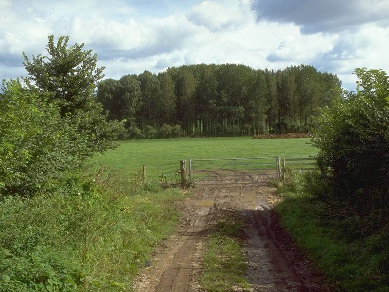
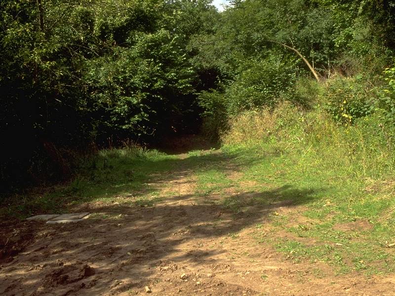
Path from Bradley Hill Lane to Estome
Walk past Estome Farm once across the bridge, then turn right onto a footpath for Littleton.
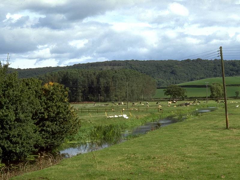
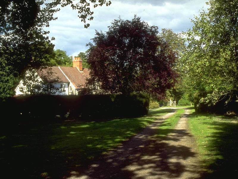
Scenes along the route from Estome Farm to Littleton
The footpath is a vehicle track at first but, 250m beyond Estome farm, reverts to a cross-pasture footpath. Head for the southwest corner of a clump of trees, cross a small brook and follow the southern edge of this little wood to reach a vehicle track. Turn right (south) along this track, which curves to the left to enter the tiny village of Littleton.
At the eastern end of Littleton you come out onto the B3151 Somerton - Street road, which you have to follow to the left for about three quarters of a mile, until you reach Redland Farm. Here, go right onto a footpath that heads straight for Bunch Wood.
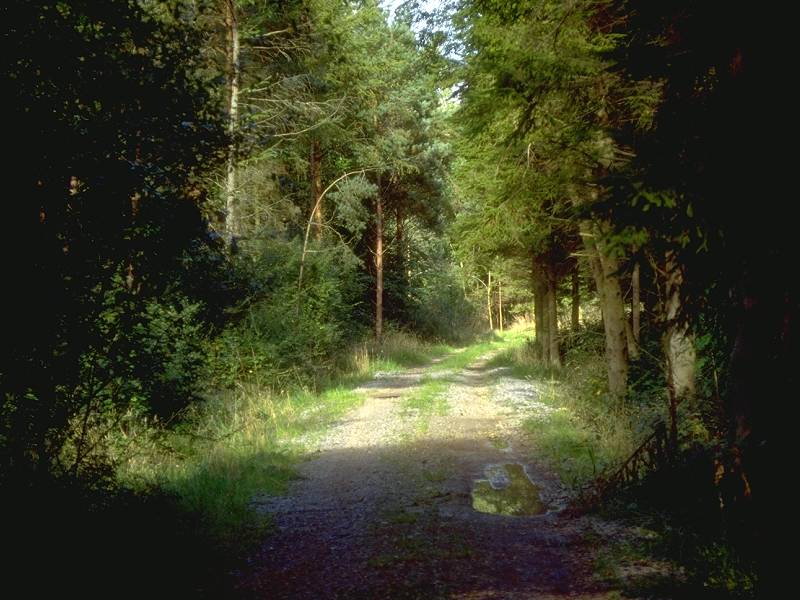
Bunch Wood
Once you do hit the main track through the forest - which may well be more by luck than judgement - follow it to the north. At some indeterminate point Copley Wood becomes Great Breach Wood. The track takes a very pleasant course, meandering slightly and heading generally twenty degrees east of north, to emerge onto a main road (which the map does not identify with a number) at Wickham's Cross.
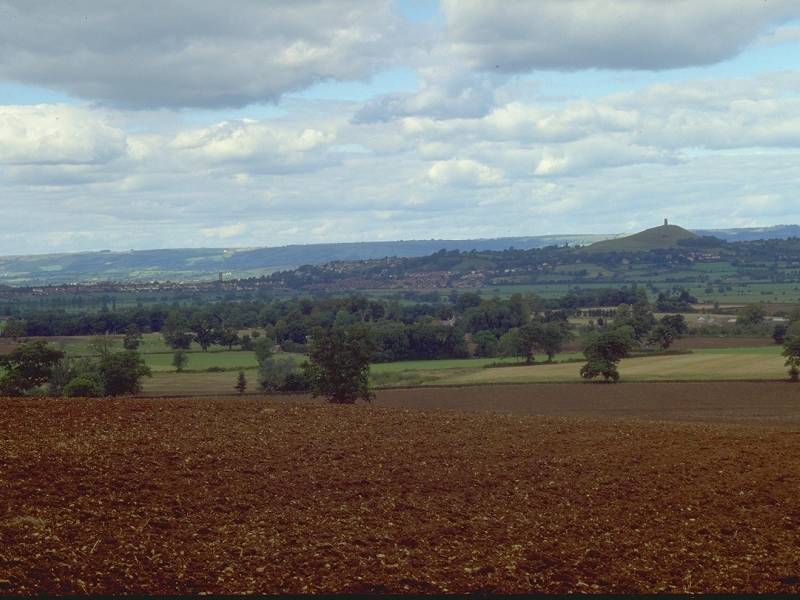
The view from the north end of Butleigh Wood
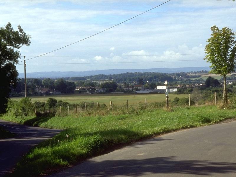
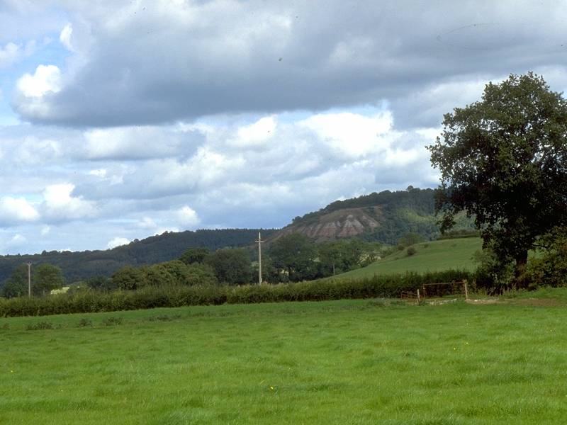
At the north end of Butleigh Wood, just before the track through the wood comes out onto the road again, the forest gives out and for the first time today you get a decent view to the north. The towns of Street and Glastonbury are seen clearly, Glastonbury's Tor Hill is finally glimpsed (how has it managed to remain hidden until now?), and in the far distance is the dark line of the Mendips. Look out for the slender white mast that is the Mendip TV tower; it stands just above the cathedral city of Wells, which we'll reach at the end of tomorrow's walk.

The Admiral Hood monument
At the point at which the Butleigh Wood track reaches the road from the eastern side, another path strikes off into the woods to the west to climb the conical little height of Windmill Hill. The trig pillar is reached only 250m from the road - sadly, the map fails to give the spot height. But forget heights, for towering above the trees here is the massive stone pillar that commemorates Admiral Samuel Hood, a Navy commander who served under Nelson during the Napoleonic wars. Hood was a local hero, the son of the vicar of Butleigh, a village about a mile and a half to the northeast. The column is 110ft high and was erected in 1836. (Hood's name was carried by a famous World War II battlecruiser that was sunk by the Bismark on 24th May 1941 - like the Titanic, she was considered unsinkable but foundered in just 7 minutes with the loss of nearly 1500 crew.)


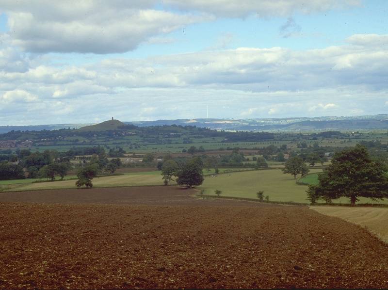
Views from Collard Hill
Leave Windmill Hill by the track to the west, which in a short time clears the trees. Follow the track and the ridge line onto Collard Hill, which lies immediately south of Street and has commanding views to either side. You see Dundon Hill from the north (first picture above), with the route of our walk from Langport ranging in a long arc behind it. In the other direction are Street and Glastonbury again, and it might well be worth scanning the line of the Mendips below and just to the left of the TV tower to see if you can spot Wells cathedral (which is only about eight miles away in a straight line).
Follow the ridge line and the track down to the narrow col and crossroads at Marshalls Elm.


Marshalls Elm is on the southern edge of Street. You can follow the road straight into town from here if you wish, but my preferred route heads slightly further west, initially through the pasture just south of the road that hugs the foot of the ridge. The map appears to show a second road just north of the first - actually it's a National Trust boundary. In about 300m turn right onto a footpath, which comes out onto a lane and then doglegs right and left to approach the locality of Overleigh. From here you may as well stick to the road for the final 1.5km to the town centre.
If you arrive in Street on foot without knowing anything about the nature of the town, you might come to the conclusion that it has something of an obsession with shoes. Not only is every second store a shoe shop, but most of the remaining retail outlets seem to have some sideline in shoes as well. When I arrived here in '94 I called into a pharmacy on the edge of town that happened to stock Ektachrome (and also did a sideline in shoe repairs). Unable to contain my curiosity any longer I asked the pharmacist just why there was uch an overwhelming passion for shoes in Street. He took me to the window and pointed. "See that building?" he asked. I could. "That's the headquarters of the Clarks shoe corporation."
In short, Street is a company town - it exists solely for, and because of, Clarks Shoes. It's even on the tourist run, to the extent that coachloads of trippers arrive at the town most days to descend upon its shops and factory outlets to pick up bargains.
Street has all the usual stuff you need for a day's end - toilets, shops, cafes, pubs, accommodation, and bus services to Glastonbury, Wells, Bristol, Bridgwater and Somerton (for connections back to Langport and Taunton).
![]() First
Badgerline service 376/377, Somerton
- Street - Glastonbury - Wells - Bristol
First
Badgerline service 376/377, Somerton
- Street - Glastonbury - Wells - Bristol
![]() First
Badgerline service 163, Bridgwater
- Street - Glastonbury - Wells
First
Badgerline service 163, Bridgwater
- Street - Glastonbury - Wells
| Taunton to Langport | Back to Somerset Way index | Street to Wells |
This page last updated 20th January 2008
![]()