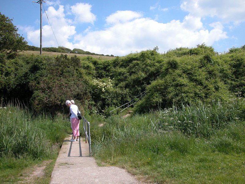
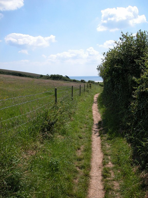
The Walk
There is a general consensus that the first half of
today's section, between Duporth and Par, is the least interesting part
of the coast path. Par and its huge china clay works is the main
reason, though the developments on Carlyon Bay beach are also a factor,
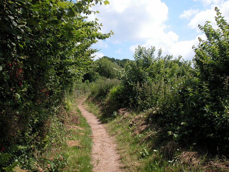
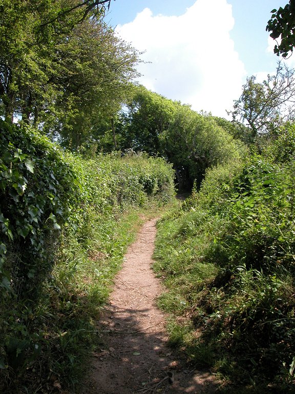
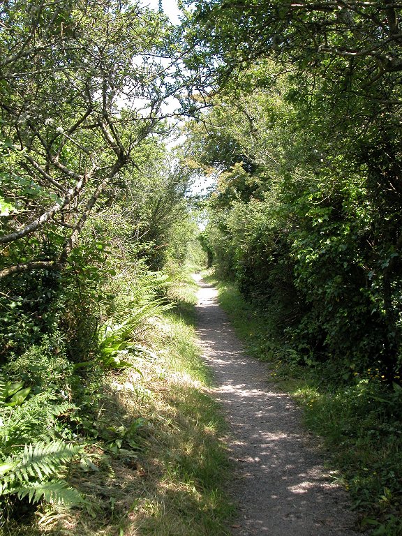
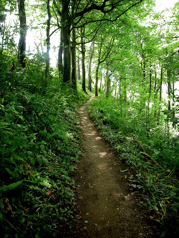
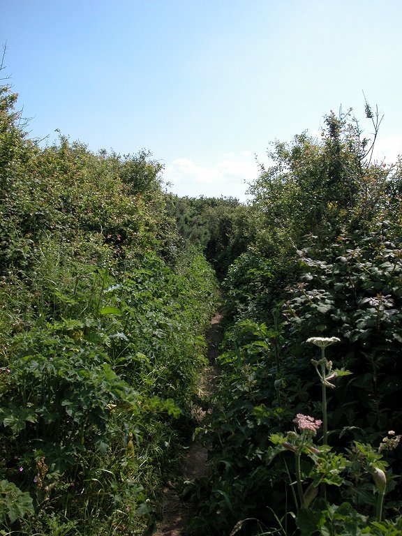
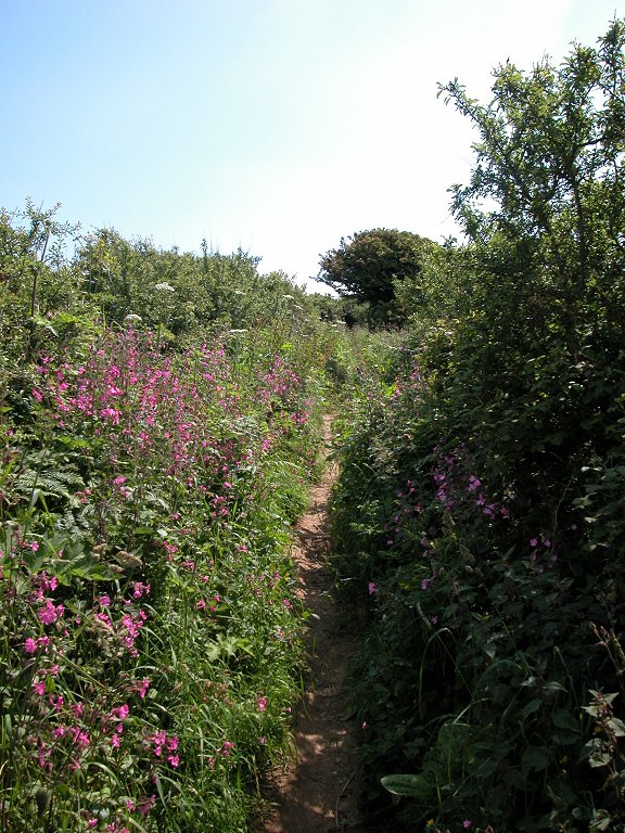
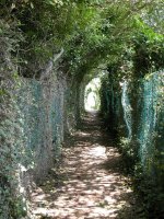
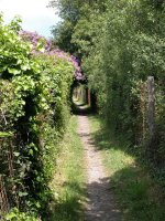
as are the long stretches where the coast path is hemmed in by dense
vegetation and you are denied a view of the sea. Once you're beyond
Par, however, you have excellent walking ahead. The little cove of
Polkerris is a delight and the three miles from Gribbin Head to Fowey
show you the coast path at its best. For those who wish to break up the
walk into smaller chunks, Par has rail and bus services, and the St
Austell - Par - Mevagissey bus route also runs via Charlestown and
Carlyon Bay.
|
Walk Statistics:
|
| Length: |
11.3 miles / 18.1
km |
| Total ascent: |
2784 ft / 848 m |
| Total descent: |
2900 ft / 884 m |
| Estimated time: |
4 hrs 39 mins |
Map: OS 1:25000 Explorer 107 (St
Austell
& Liskeard)
Click
on
any thumbnail image in this gallery to display the corresponding full
size
image. The images are access protected through a cgi script to prevent
hotlinking. If you encounter problems while trying to view the full
size
images, please read the access advice
page.
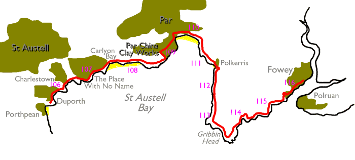
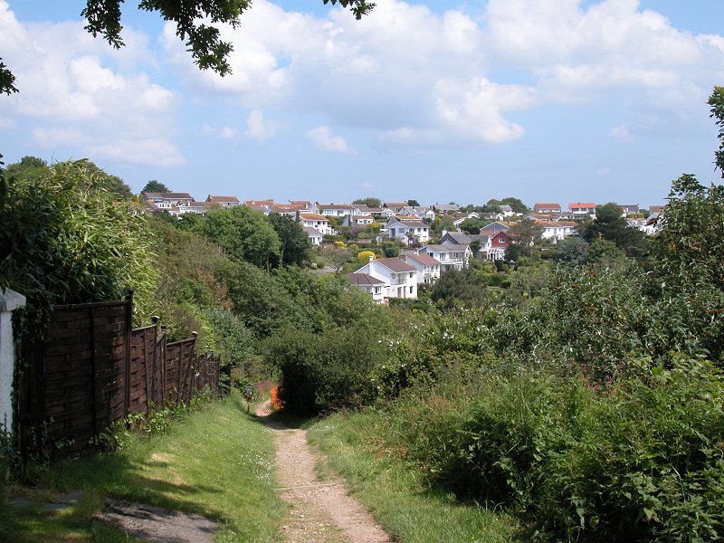
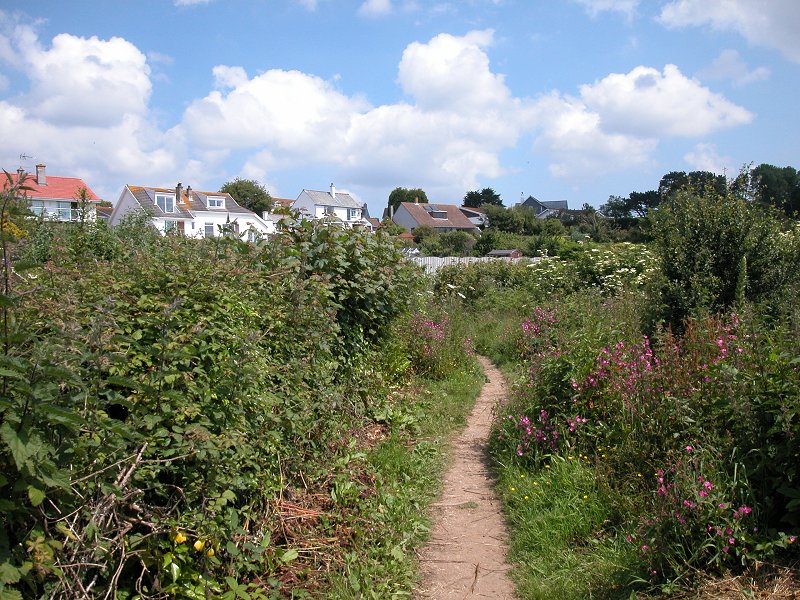
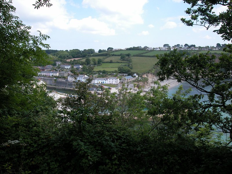
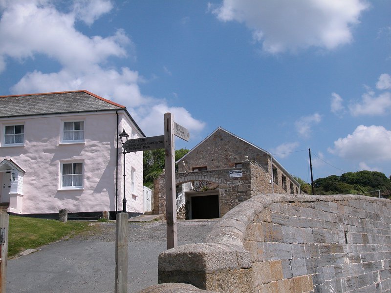
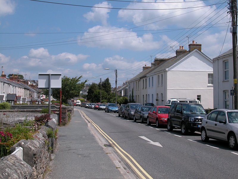
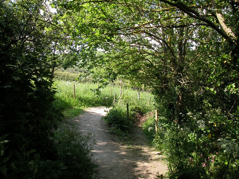
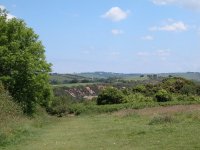
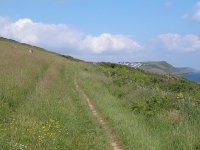
Porthpean

 The coast at Duporth from the approach to Porthpean
I chose this spot as the coast path's nearest point
of access to St Austell. If you finished yesterday's walk here you will
know where to pick it up. If not, you're headed for Carrickowel Point
just east of Porthpean Beach. The hourly bus from St Austell to Par and
Mevagissey calls nearby; get off at the hospital, walk down the road to
the south and take the left turn signposted for Lower Porthpean. Where
the road swings to the right again take the short footpath going
straight on, to meet the coast path as it runs past the small headland
of Carrickowel Point. The coast path cuts off the corner of the
headland instead of running around it and you're met by a stand of
trees instead of a view of the sea; this rather sets the scene for much
of the next few miles. Turn left along the oast path for Duporth.
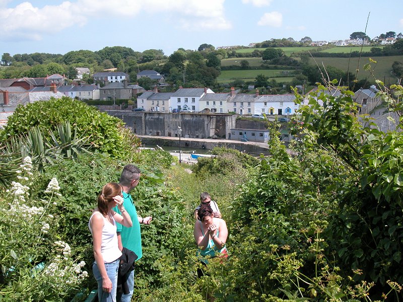
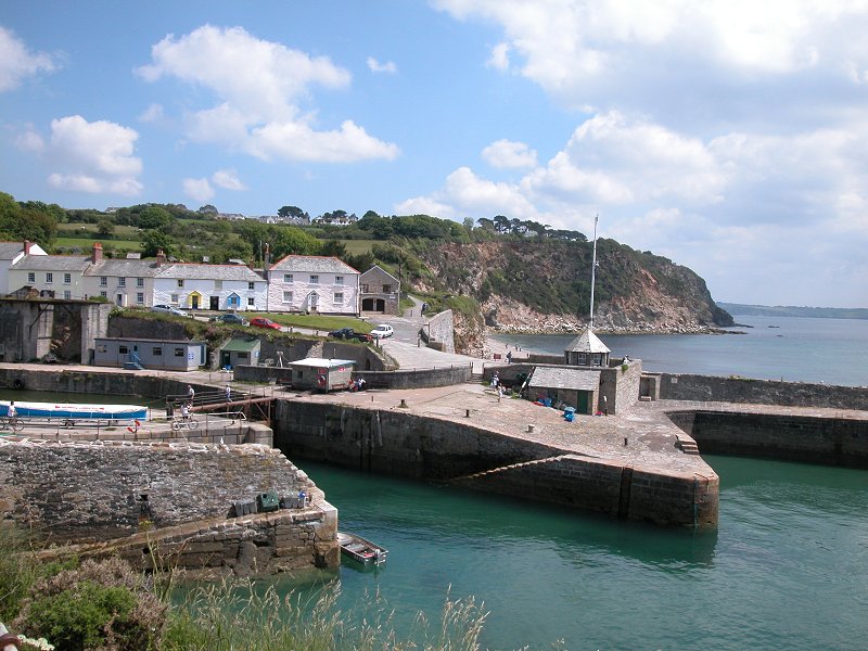
Duporth
Charlestown
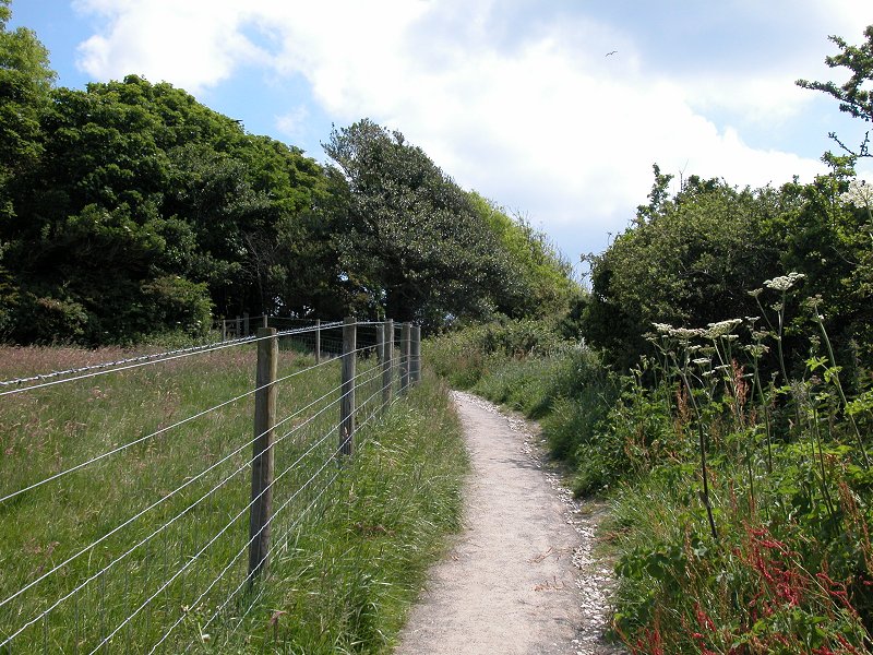
Porthavallen
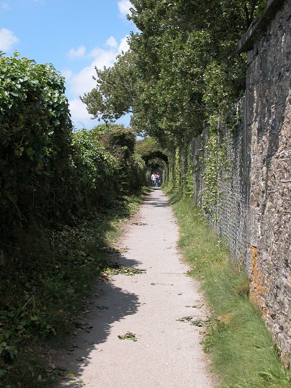
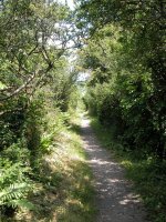
The coast path, for some unknown reason, leaves
the coast a couple of hundred metres beyond Charlestown. This short
inland incursion misses out Appletree Point to become a fieldside path,
hemmed in by a fence to the left and a high hedge to the right.
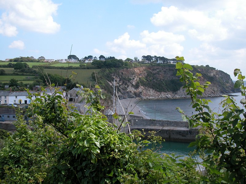
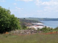
Carlyon Bay

 Porthavallen
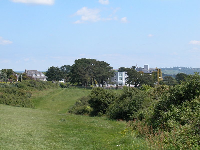
The extensive village to your left is something of a
mystery to the Ordnance Survey, who have declined to give it a name on
their maps. Possibly it's Porthavallen, possibly it's Carlyon Bay,
possibly it's neither. The village is fenced of to the left and I never
saw anyone to ask. Just as at Duporth there's a beach down to your
right, of which you see little; it's got its own rocky island, named
Gull Island. After about half a mile you emerge onto an open sward of
grass with the ostentatious Carlyon Bay Hotel situated at the far end.

 The coast patg passing the Place With No Name; approaching
Carlyon Bay Hotel
The coast patg passing the Place With No Name; approaching
Carlyon Bay Hotel
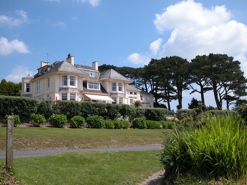
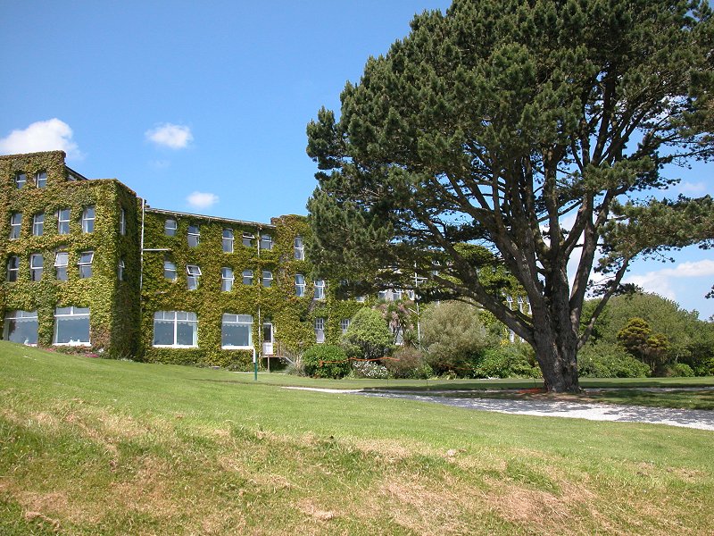
The Carlyon Bay hotel is a luxury, four-star job that
would cost you a couple of hundred quid a night if you chose to stay
there. It's a major golfing centre and has also hosted a high level
international conference in recent years. Be content to gaze on its
lawns and gardens and ivy-covered walls as you pass.

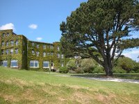

 The Carlyon Bay Hotel
There's another grassy area east of the hotel, after
which you come to a rather forgettable stretch. Go down a dip to a car
park. You cross the access road to Carlyon Bay beach here. The beach is
a mess, one of the most unfortunate sights on the coast path. An
entertainment complex has been built on the beach - it's dominated by a
huge, industrial-looking building that is currently derelict and would
appear to have been gutted by fire. As I write, in the summer of
2005, some activity is going on in the smaller buildings to the west
and a road is being laid out right along the rear of the beach.
Presumably the complex is being redeveloped and one can only hope that
whatever takes the place of the "fun factory" will look less intrusive.
The coast path keeps to the clifftop well above the beach and its
eyesores. The second picture below shows a glimpse of the gutted "fun
factory". It's not something I particularly wanted to photograph.
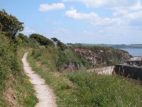
 The path above Carlyon Bay beach
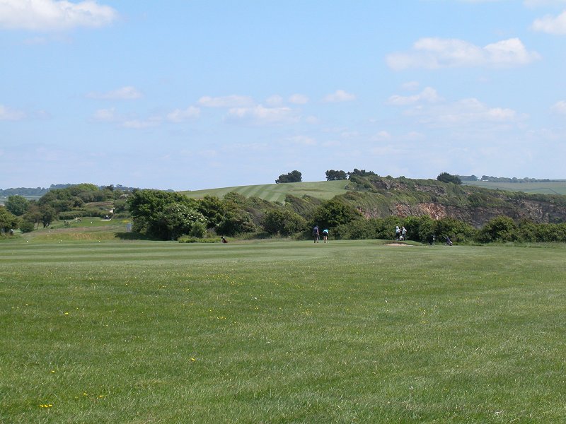
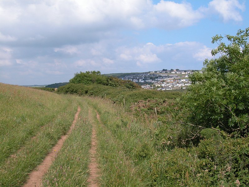
The scenery improves now as, for most of the next
mile, you walk beside the Carlyon Bay Hotel golf course. For roughly
half this section you will still have glimpses of the beach down to
your right but at Fishing Point the beach gives out to be replaced by
rocks and low cliffs.

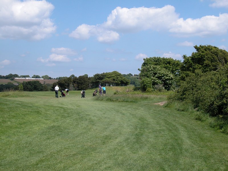
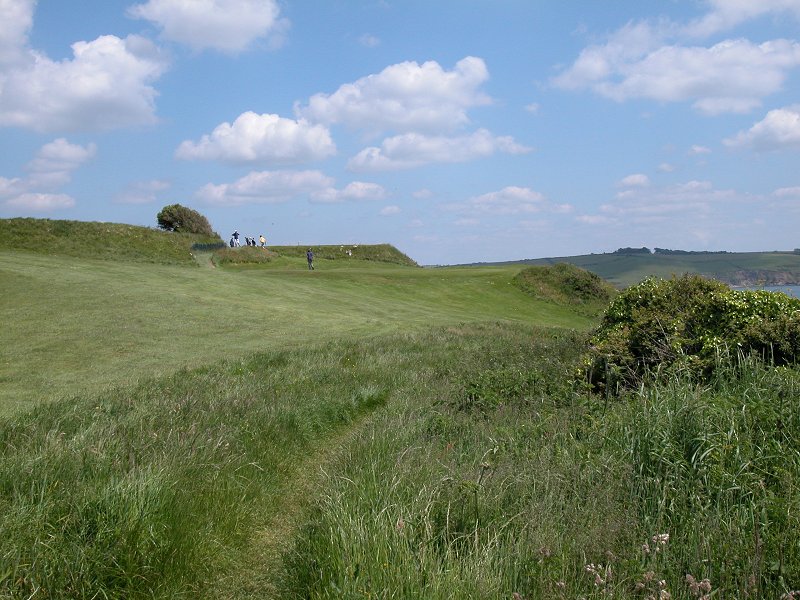
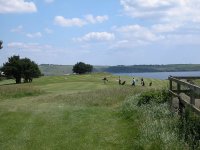
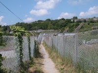
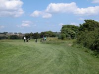 Carlyon Bay golf course

 The coast path route by the golf course
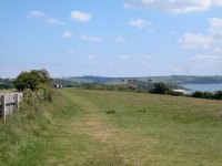
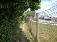
There are intermittent screens of vegetation, both to
your left (the golf course side) and the right (the seaward side). On a
couple of occasions these screens appear simultaneously on both sides.
Please remember not to put golfers off their strokes - courtesy
requires that you should stand and wait if anyone is teeing off or
trying to sink a put. The coast path runs close by several holes and
tee-off points.
 Carlyon Bay golf course
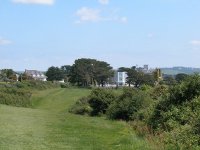
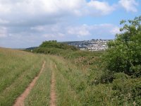
As you progress the views of Carlyon Bay fall away
behind you, while Par china clay works start to loom ahead. The coast
path falls very gradually to the end of the golf course at Spit Point,
where it has to turn away from the coast.

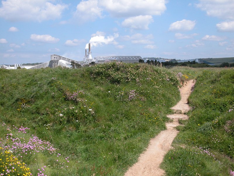
 Approaching Spit Point and Par china clay works
Par
Par china clay works is a major industrial site. China
clay, otherwise known as kaolin, is a form of white feldspar used in
the ceramics industry, and is also used in the manufacture of pigments
and paper. Cornwall is one of the world's principal sources of the
mineral, the other being Malaysia. The harbour and its associated works
process and export china clay all over the world and the coast path is
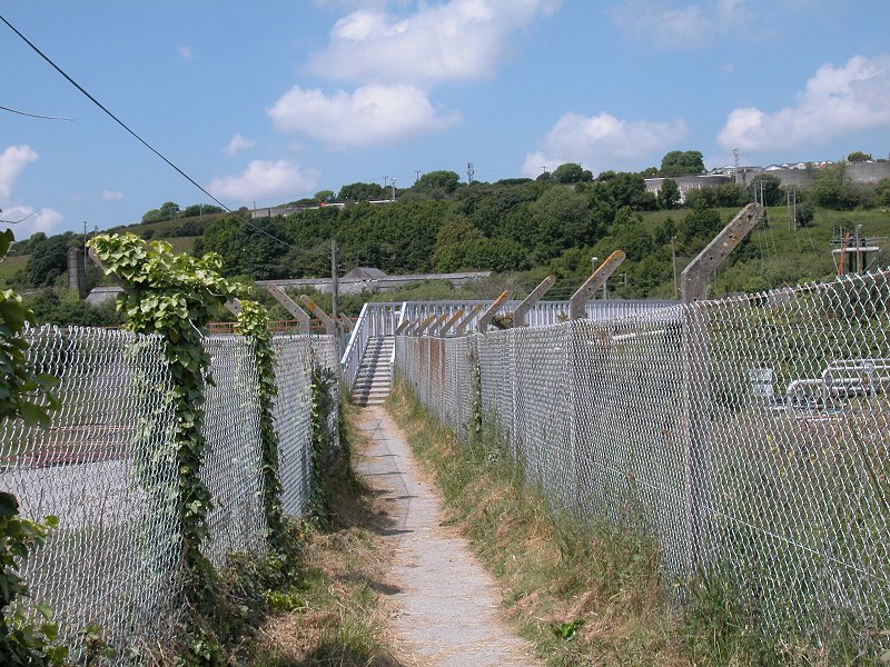
obliged to divert inland to avoid the works area. A path runs alongside
the fence initially, after which the route is carried across part of
the site on a raised metal walkway.
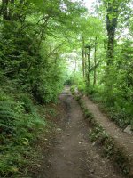
 The coast path route by Par china clay works
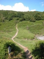
The far end of the walkway deposits you onto a series
of paths running alongside the works boundary fence on one side and the
Great Western Railway on the other. The route has changed here over the
last few years and your map or guidebook might not be up to date - at
one point you were meant to go under the railway to the main road, and
for a while later the path was unmarked and you were left scratching
your head and finding your own way. Now all dooubts have been removed -
follow the obvious path alongside the fences and you will soon emerge
onto the main road shortly before the main works entrance.
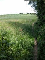
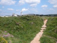
 Path north of the china clay works
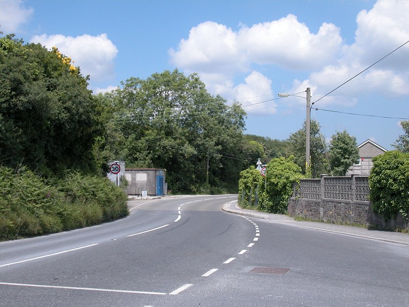
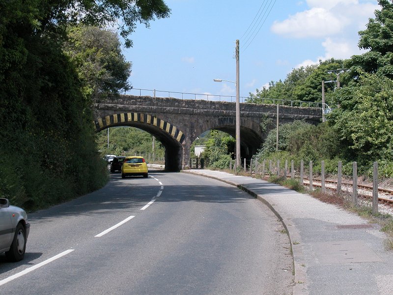
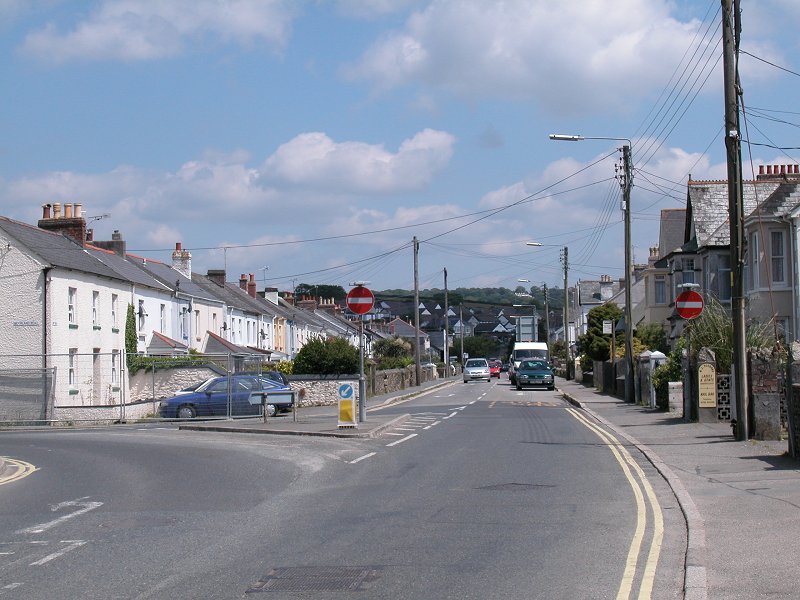
Go past the works entrance (watch the traffic!) and
follow the road around a bend to the left, beneath a railway bridge
(second picture below). At the road junction just beyond go to the
right and underneath the railway line a second time. Welcome to Par
(third image below).

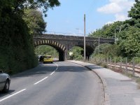
 Arriving in Par
One has to admit that, even without the presence of
the china clay works, Par is the least appealing of all the towns and
villages along the route of the coast path. Not only does it present a
rather mundane appearance, it also has few facilities for the visitor
save for the railway station. A couple of shops are clustered around
the junction at the far end of the main street. You could stick to the
road as far as Polmear but it's more pleasing to head for Par beach,
where there's a useful shop and cafe. The lane to the beach lacks a
coast path marker and is easy to miss - it goes off right by the main
road junction and is marked as a cycle route.

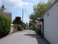 Par high street; the unmarked lane to the beach
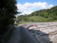
The lane reaches a wide road, a service track for the
cina clay works and the route of an old railway track. Cross this,
looking out for heavy trucks, and make your way through the extensive
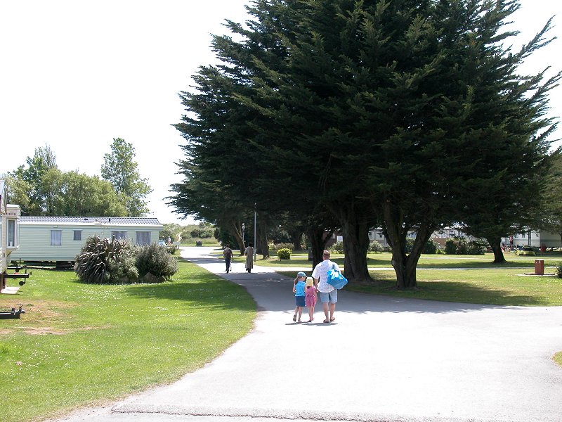
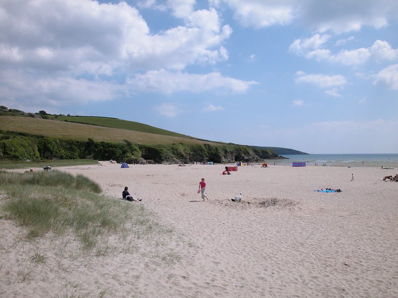
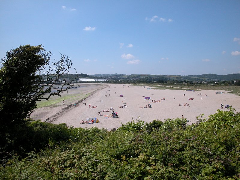
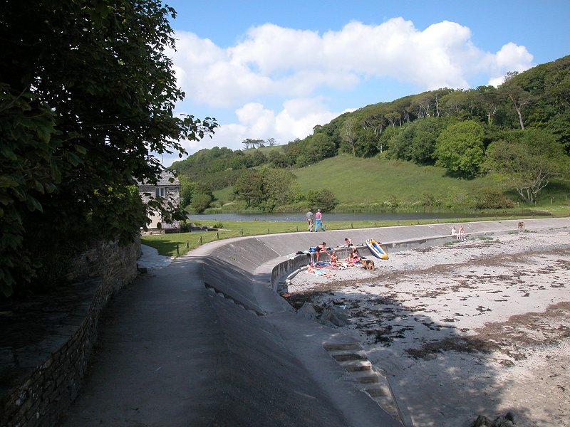
caravan park beyond to come to Par beach.


 The caravan park and Par sands
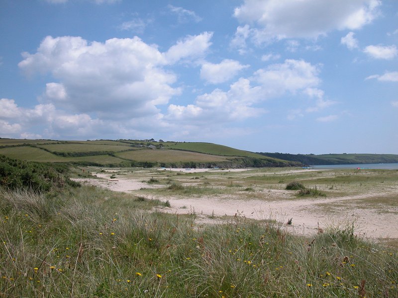
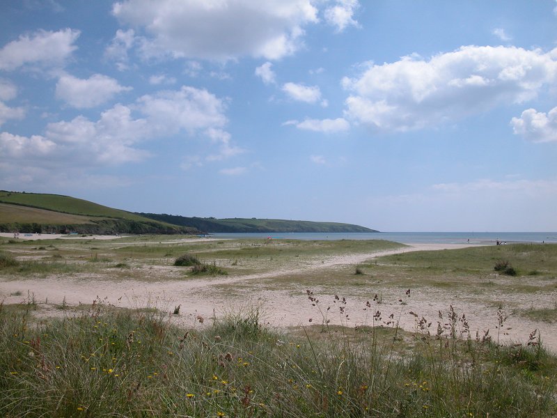
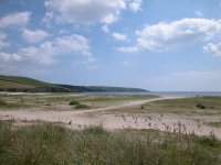
The beach is shallow, extensive and popular. Its one
downside is that it's not provided with seats. If you're not visiting
the cafe but want to have your lunch here nevertheless, you'll spend
quite some time hunting for a sem- comfortable spot among the dunes.
The china clay works dominate the view to the west, but to the east
beyond the sands is the long spit of land running out to Gribbin Head,
and nestling in the elbow of this spit is the cove holding the little
fishing village of Polkerris, our next objective. It might look as
though it's possible to walk out to Polkerris on the sands, but if you
try this you'll come seriously unstuck in the last five hundred metres.
Make your way to the car park at the far northwest corner of the dunes
and find the footbridge across the stream (second picture below) that
gives access to the coastal path to Polkerris.
 Par sands; footbridge
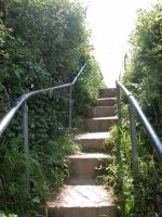
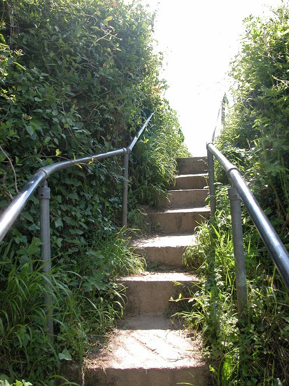
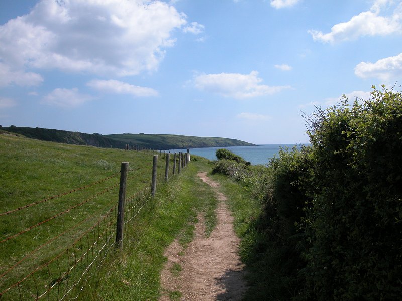
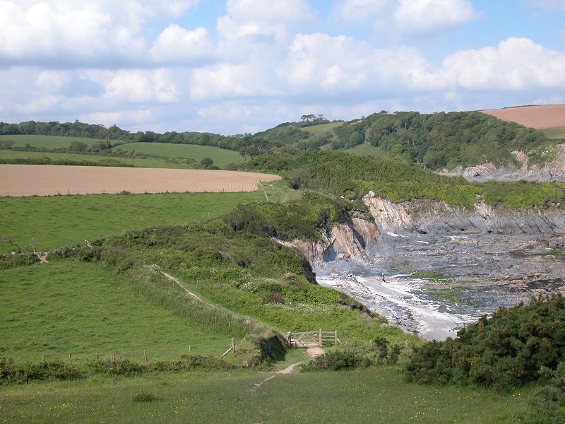
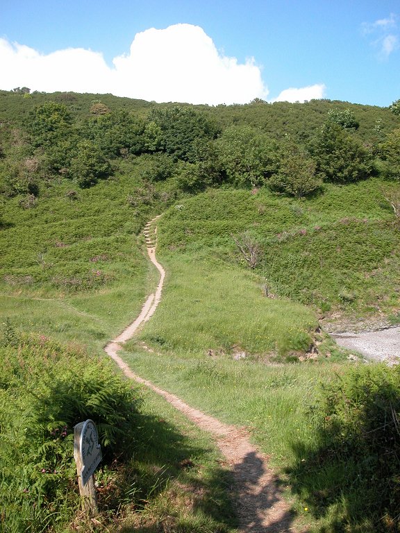
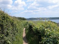
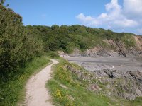
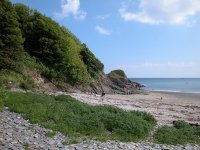
 Steps and coast path east of Par sands
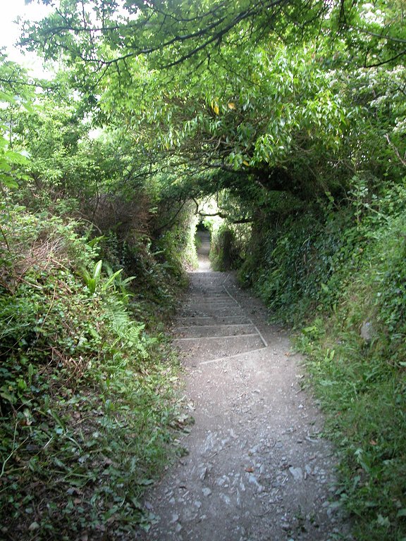
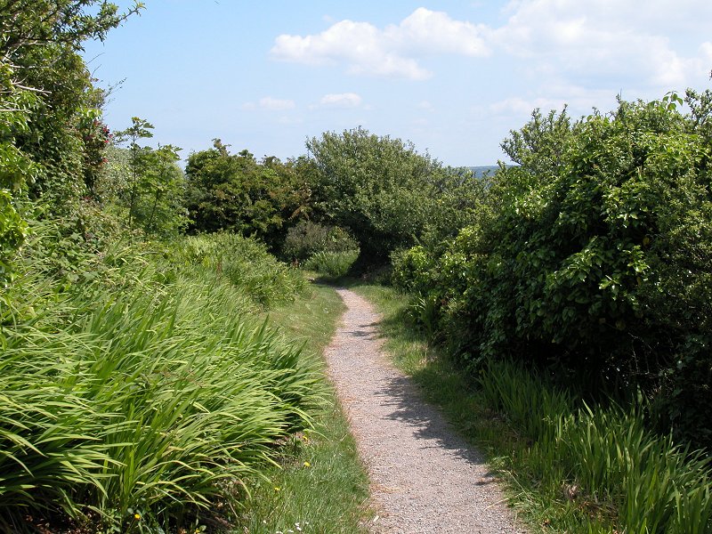
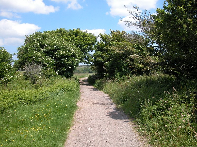
Immediately beyond the footbridge tackle a steep
flight of steps to gain access to the clifftop path running to the east
of Par sands. This path runs for just over a mile to Polkerris.
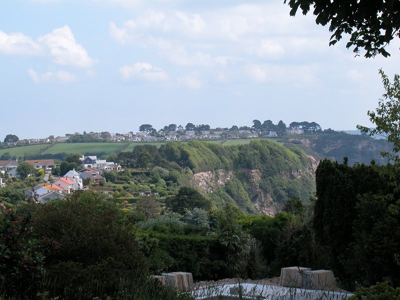
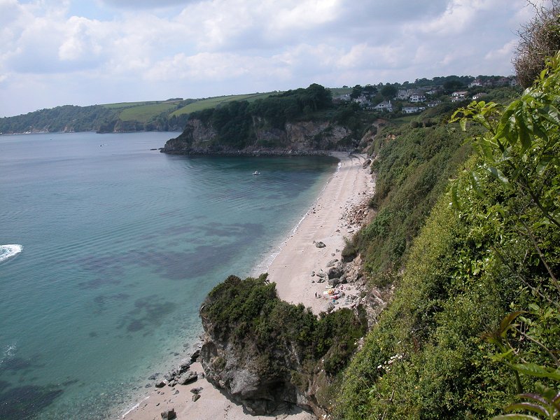
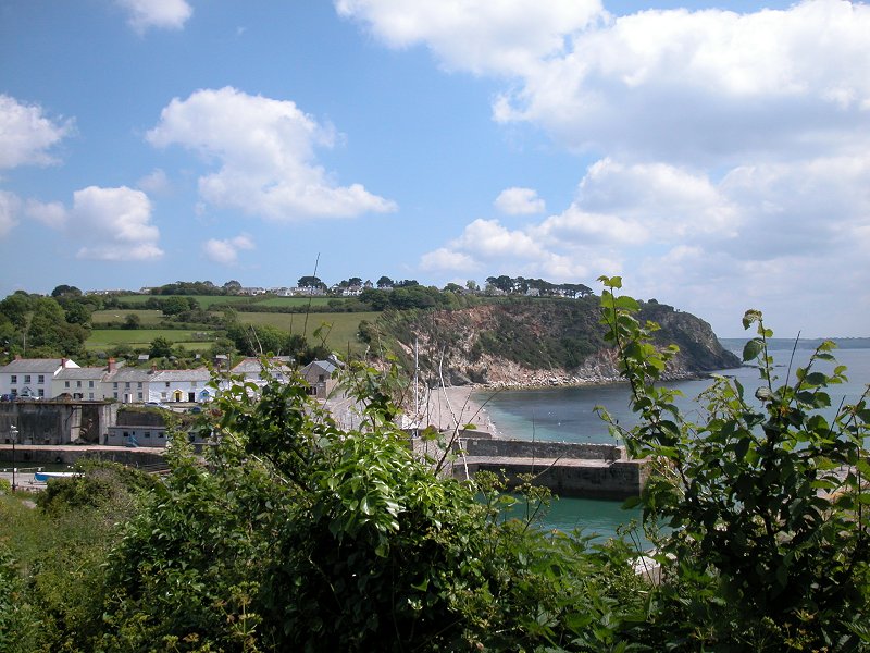
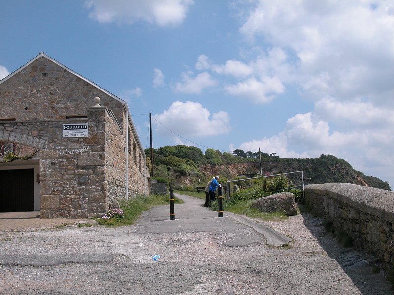
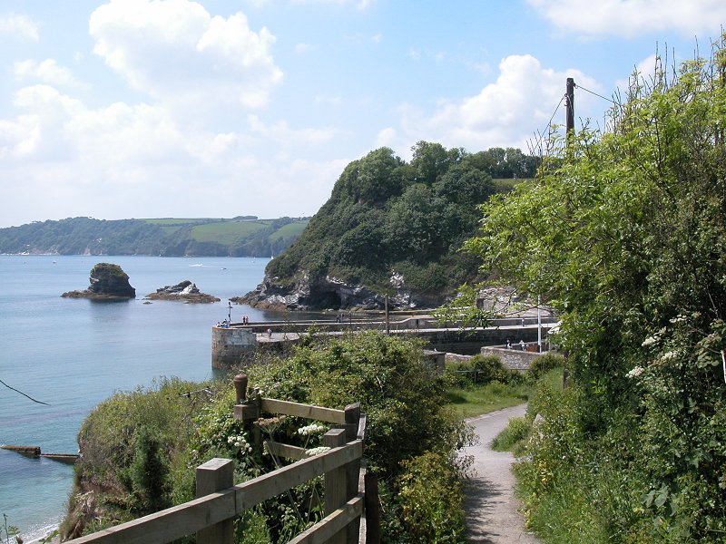
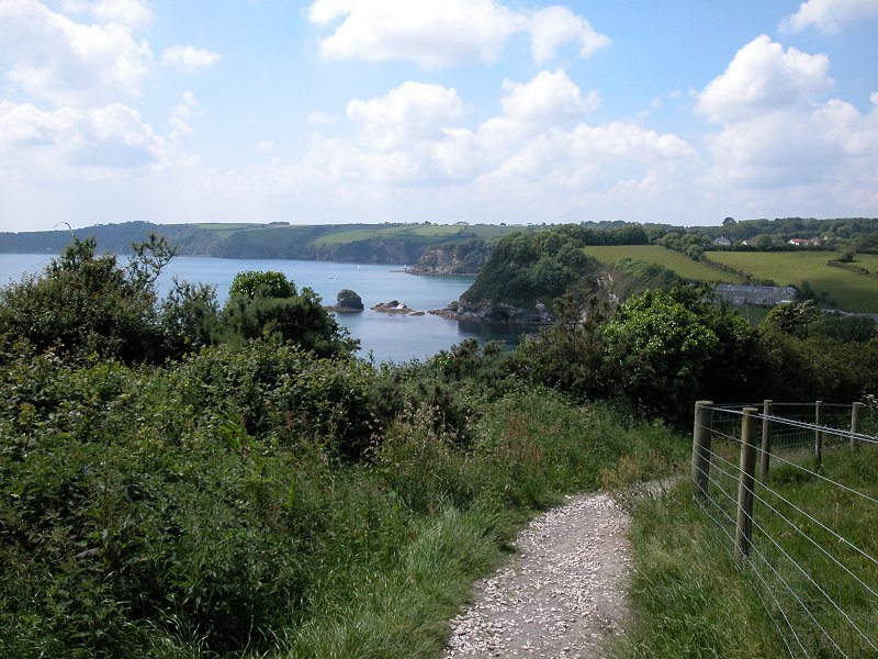
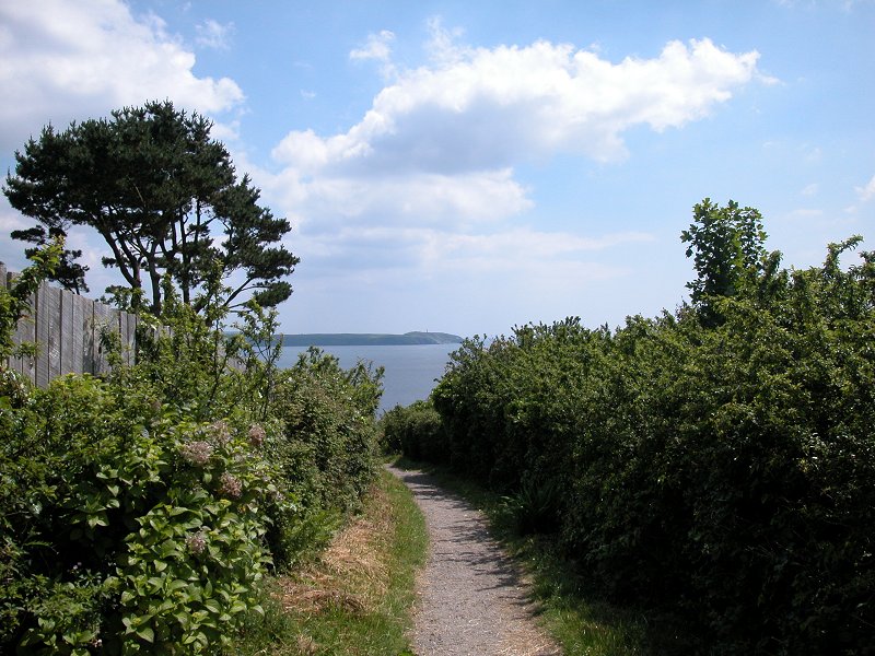
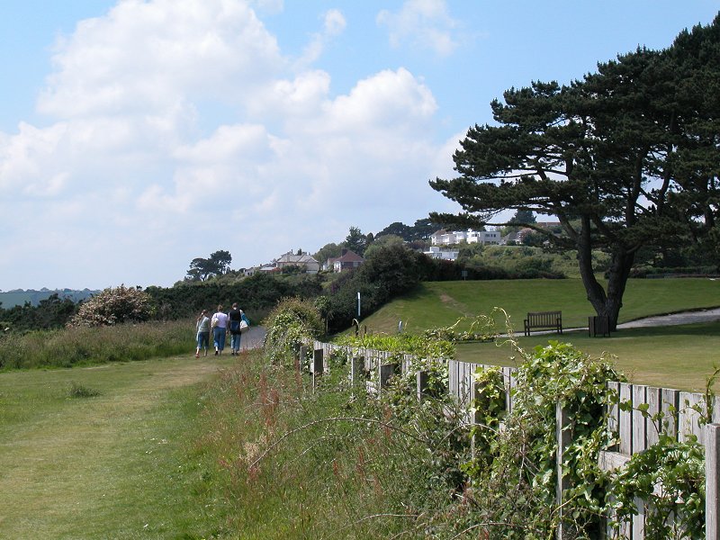
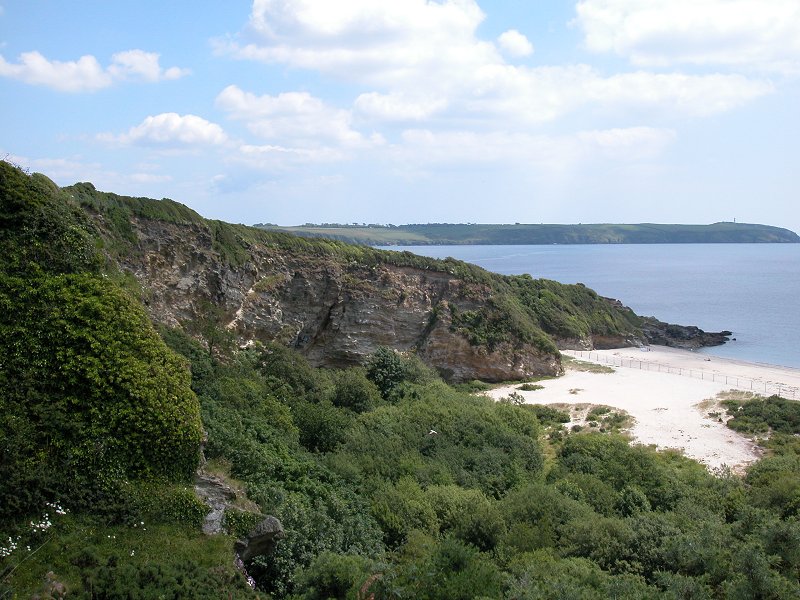
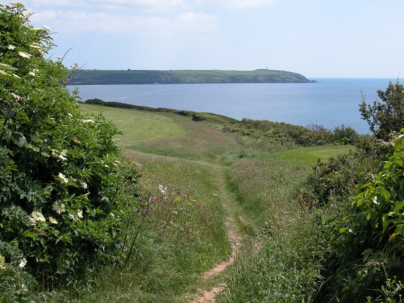
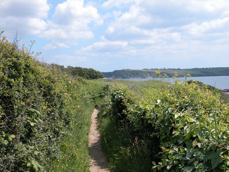
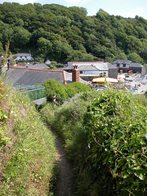
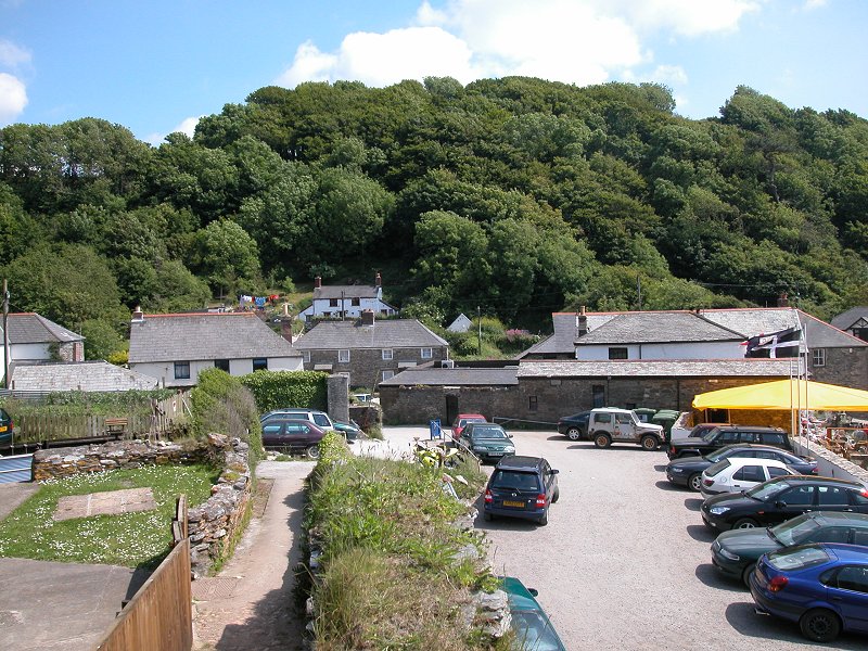
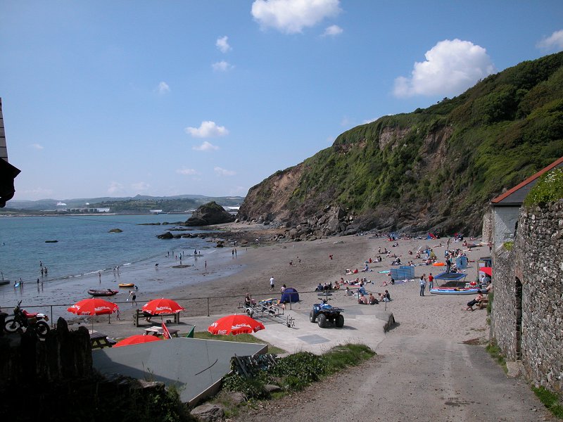
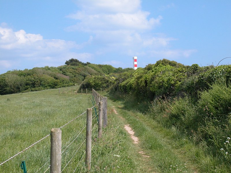
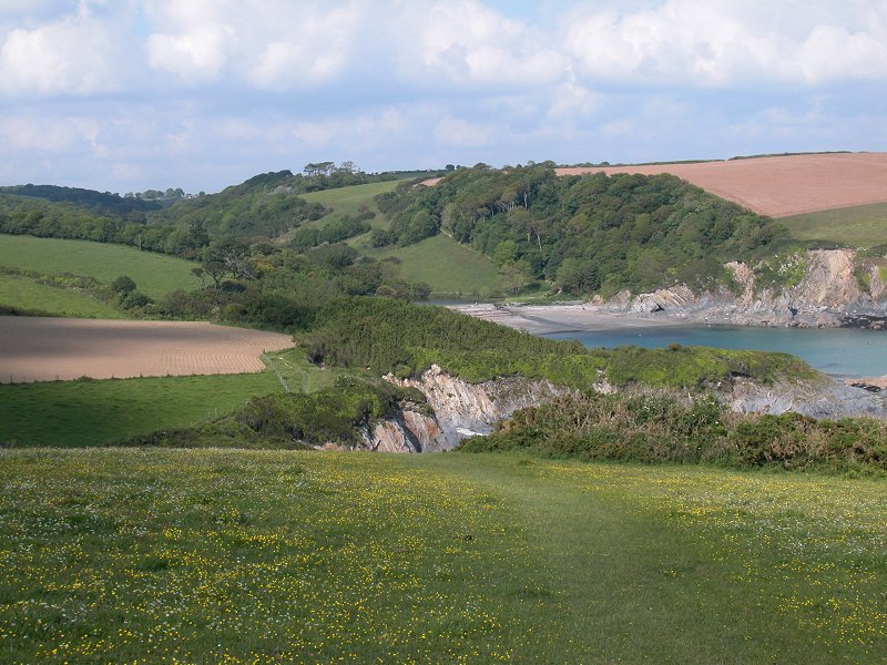
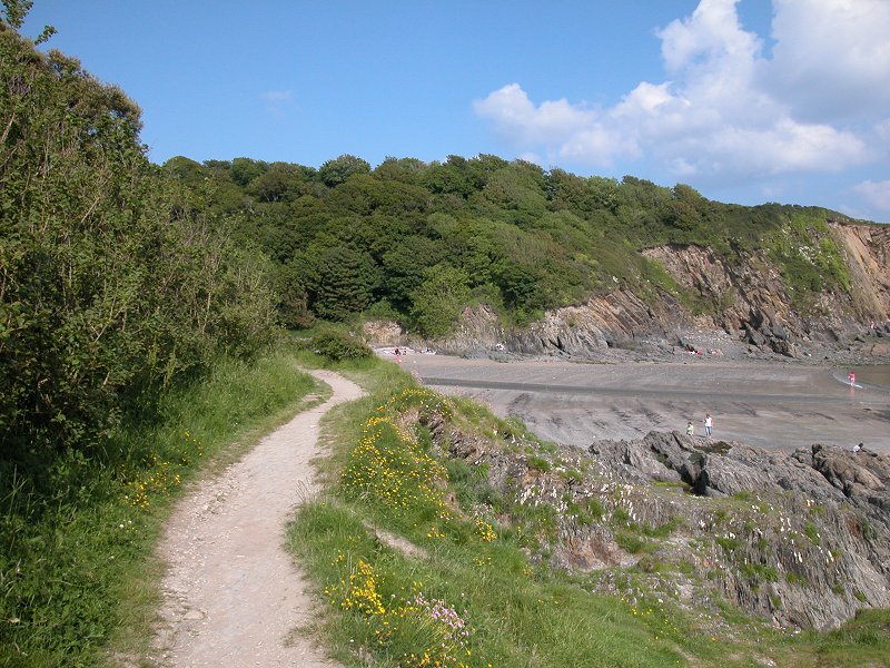
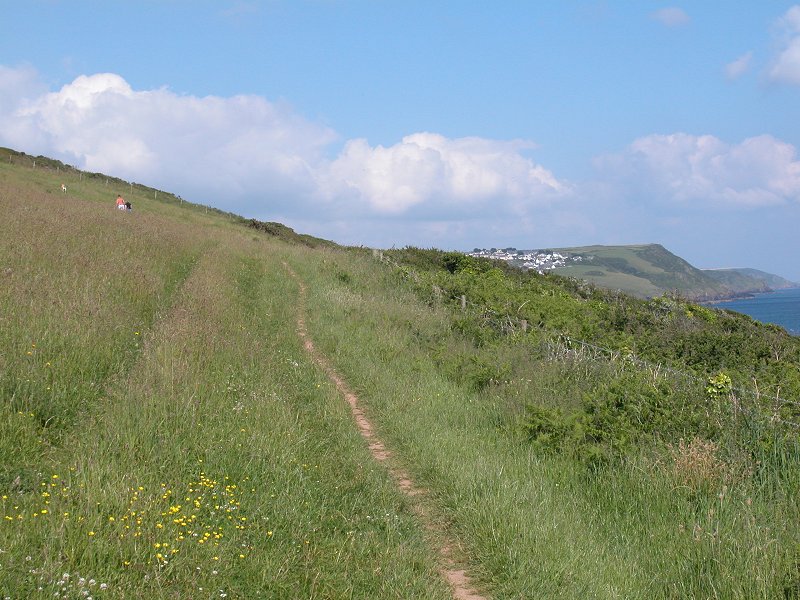
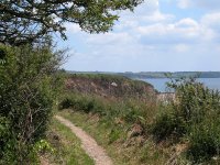
Polkerris
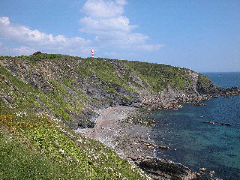
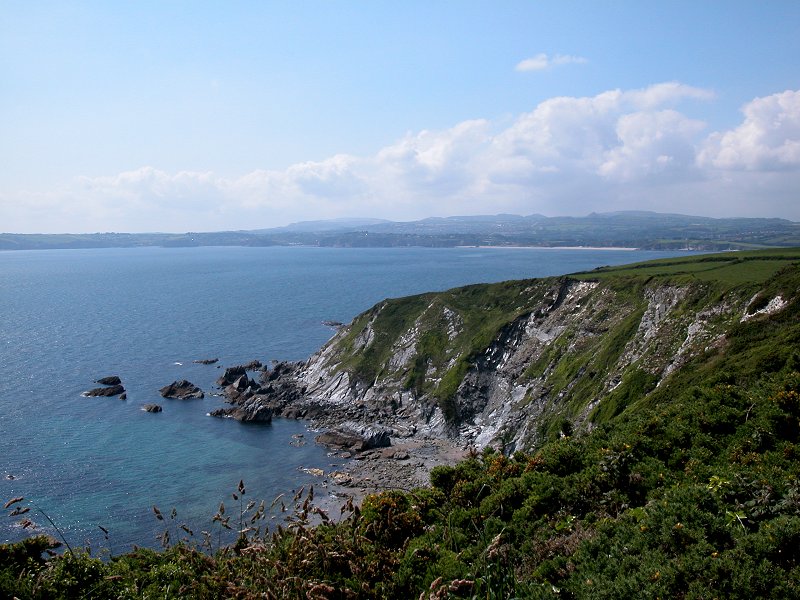
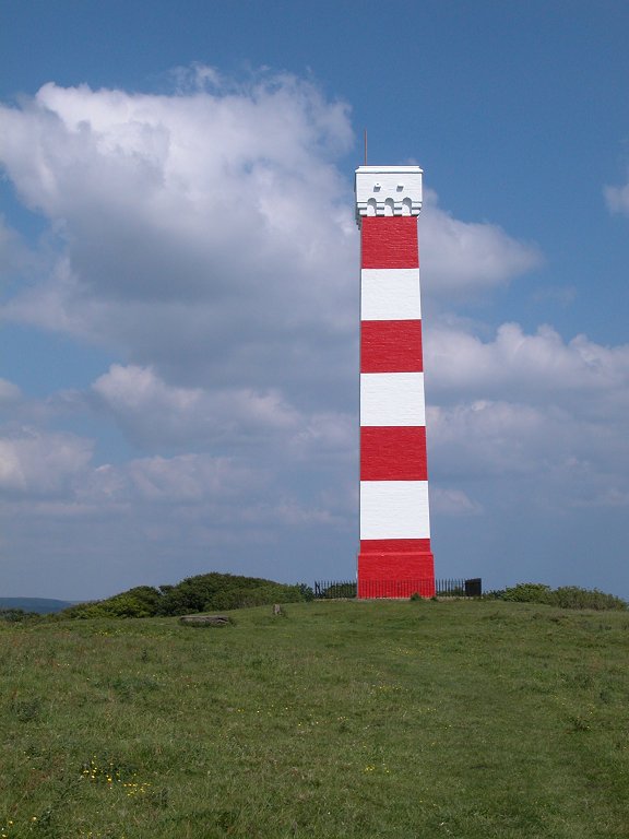
Gribbin
Polridmouth


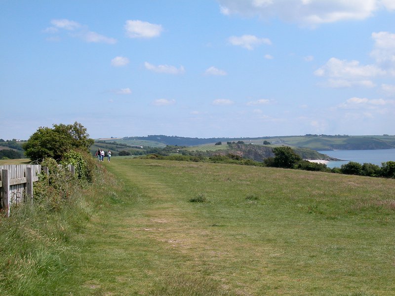
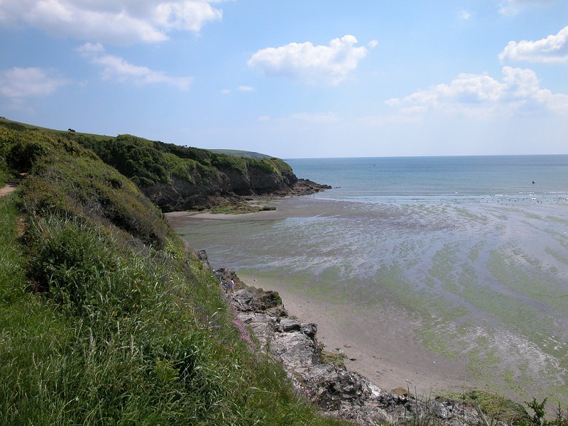
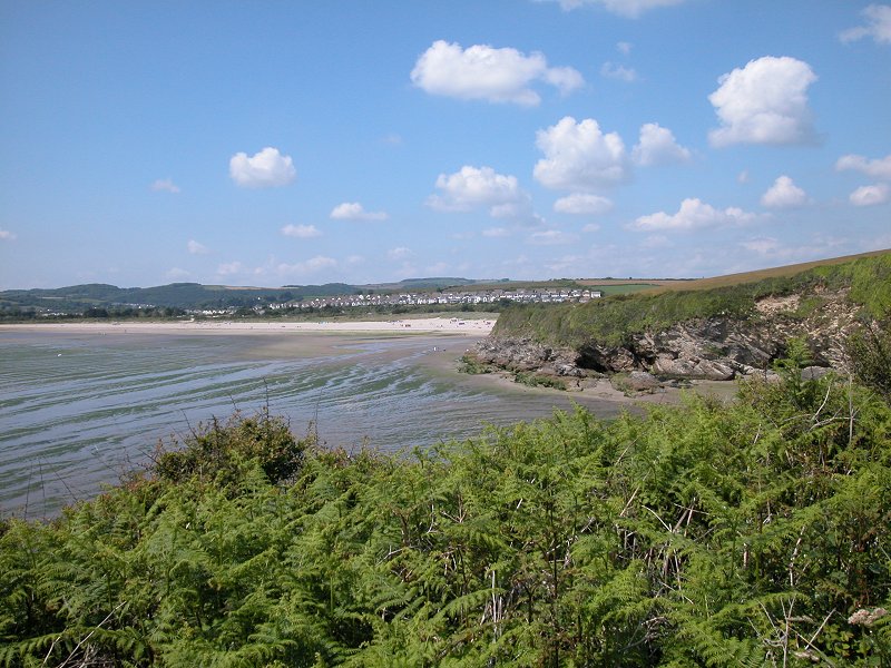
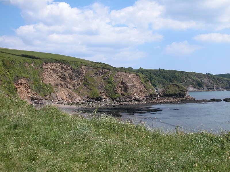
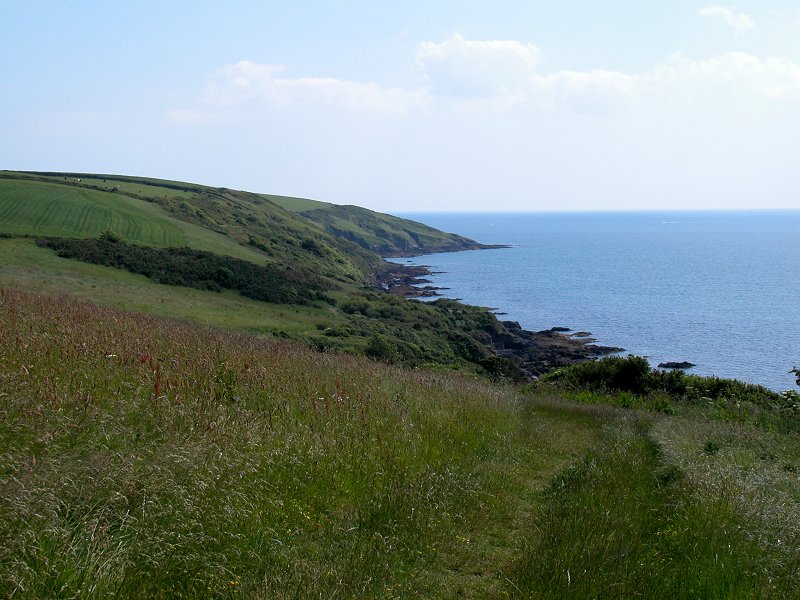
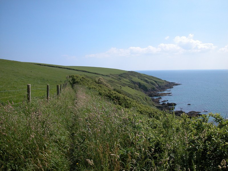
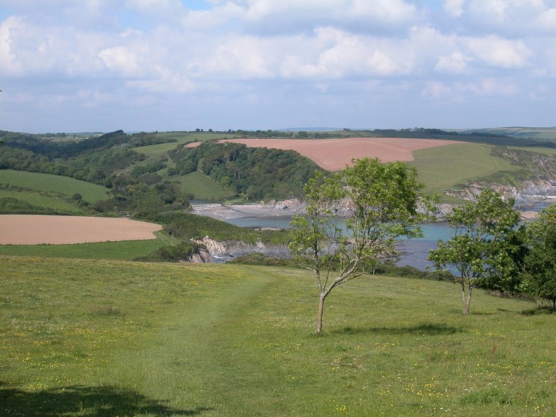
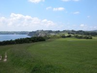
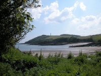
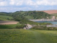 Gribbin to Polridmouth
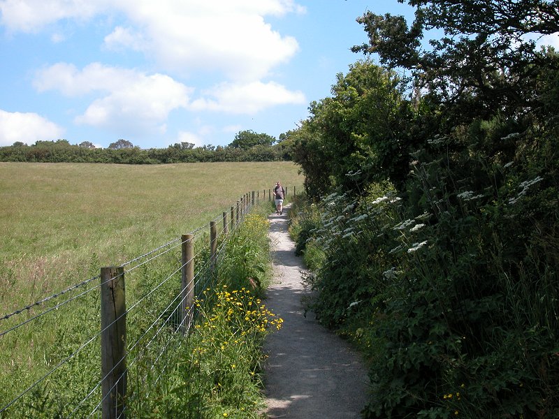
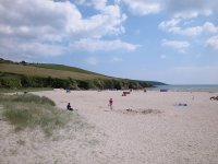
As so often happens, the nature of the walk changes
significantly once you round a major headland and find yourself on an
east-facing coast. Here the terrain becomes open and benign. You're
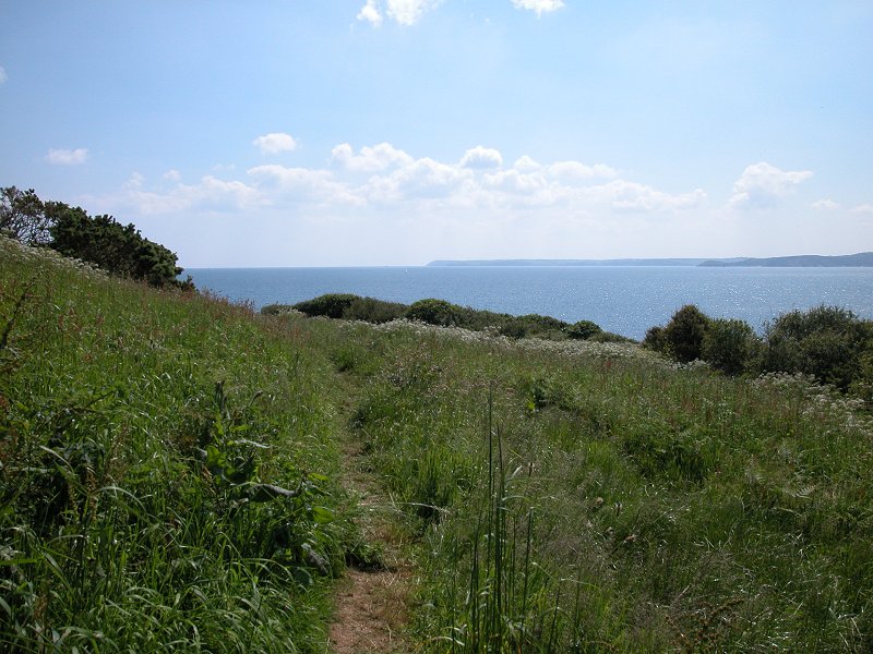
heading for the twin coves of Polridmouth a mile away. At first the
route crosses a huge swathe of grass dotted with trees but as you
rejoin the coast closer to Polridmouth it becomes enclosed by hedges.
Once again there's quite a bit of up and down work and you'll quite
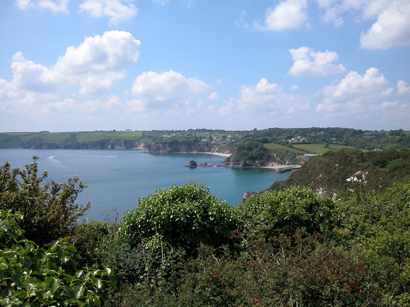
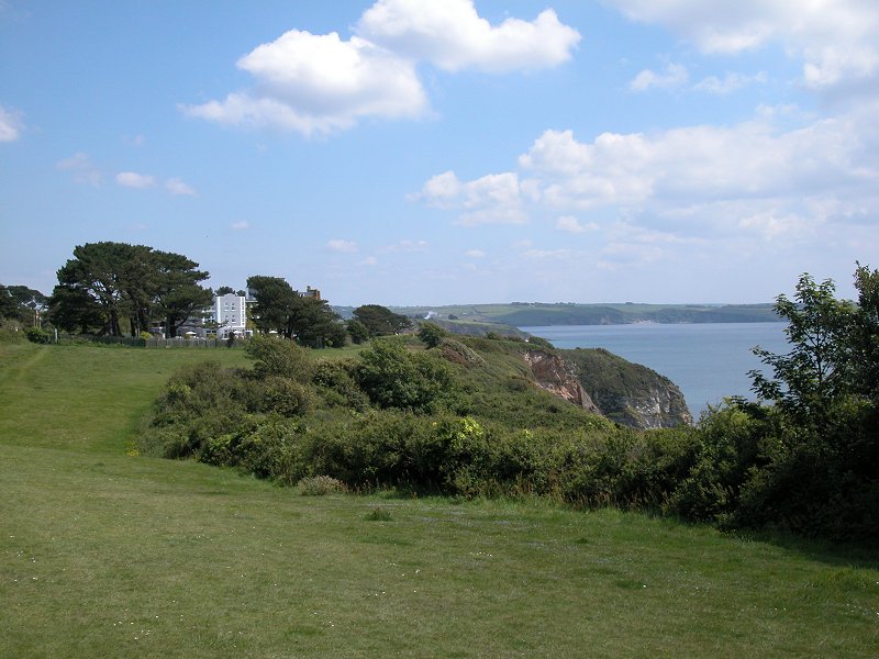
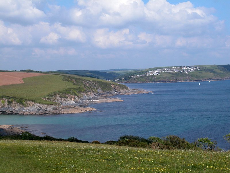
likely be starting to tire by now. Having passed Gribbin Head there are
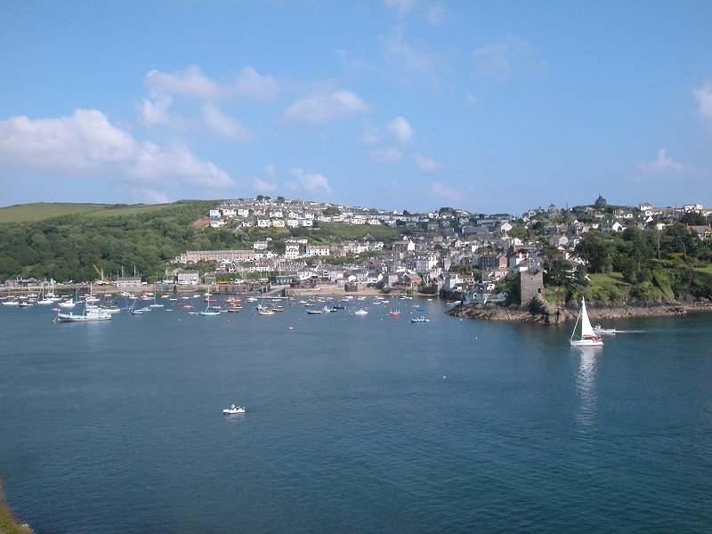
extensive views eastwards to enjoy; nearby Fowey is hidden inside its
inlet but the upper reaches of Polruan, which stands opposite, are well
seen. Beyond Fowey are the lonely miles to Polperro and Looe, and
beyond are the more populous parts around Seaton and Whitsand Bay to
Rame Head, which will be seen on clearer days.

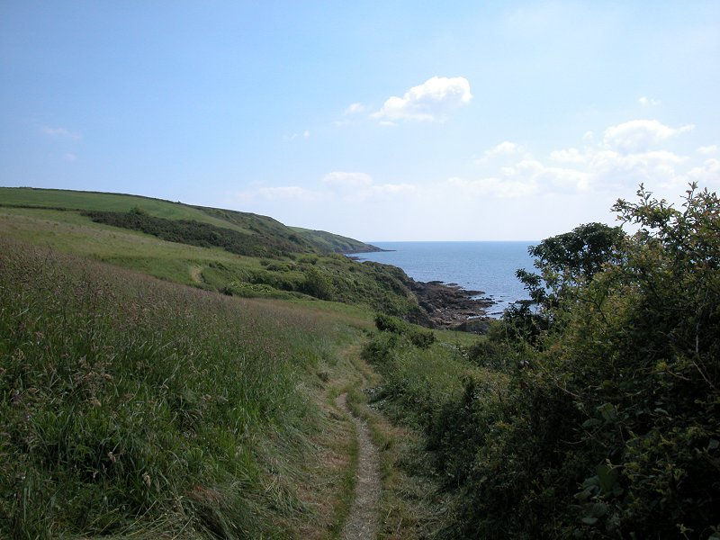
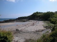
 Approaching Polridmouth west cove
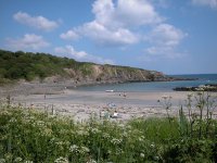
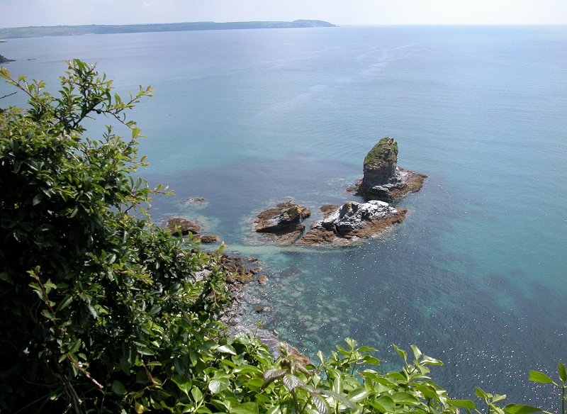
 Polridmouth west cove
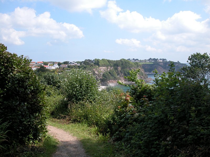
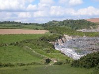
The coast path makes it way around Polridmouth's west
cove, an interesting tangle of rocks and sand just the other side of
the hedge and a rather nice bit of scenery. Following a short, steep
rise into woodland the path then drops straight down again to
Polridmouth east cove. Less rocky, this cove is backed by a low sea
wall across which stands a tranquil freshwater lake, a miniature
version of Loe Pool back at Porthleven on day four. The author Daphne
du Maurier lived close by for some years.
 Polridmouth east cove
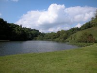
 The lake, and a retrospective view of Gribbin Head
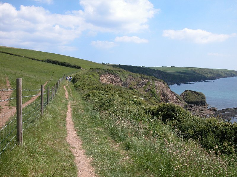
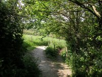
It would be somewhat comforting to know that no
further effort is involved along the remaining two and threequarter
miles to Fowey, but unfortunately that is not the case - you have to
gird your loins and find fresh reserves of stamina, for the coast path
climbs steeply out of Polridmouth to gain the heights of Lankelly
Cliff. The steeper part of the climb is under three cover, a blessing
if the sun is baking down.
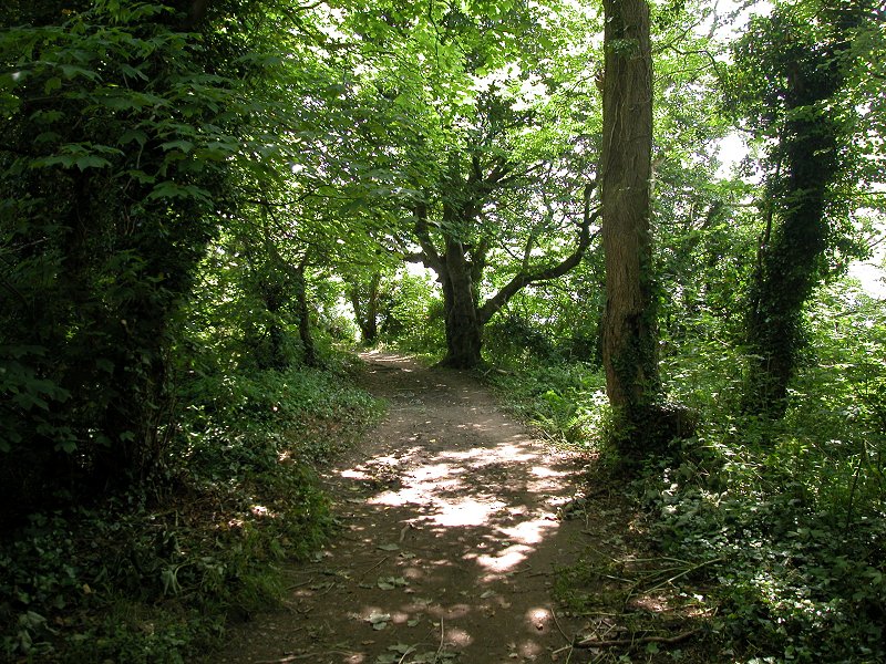
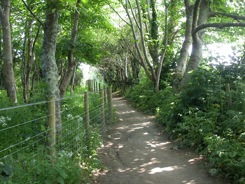
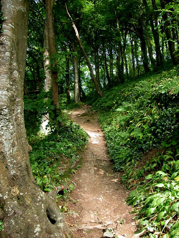
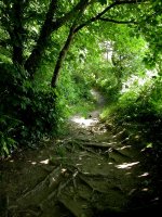 The woodland ascent out of Polridmouth
Fowey
 Lankelly Cliff; Coombe Hawn; approaching Fowey
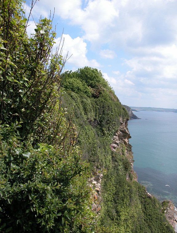
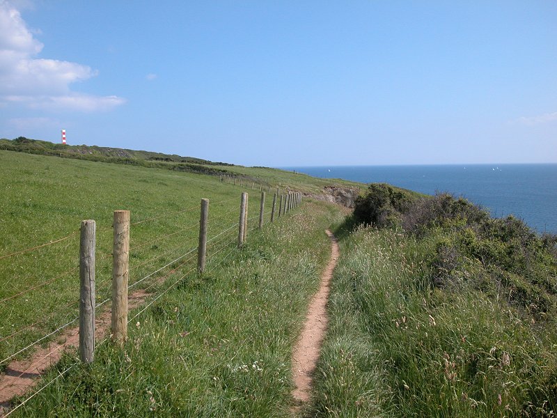
This section is quite hard work. Lankelly Cliff
merges into Southground Cliff, and the path hugs the clifftop around
both with a considerable slope running further uphill to your left. On
occasion the path rises and dips, and shortcut paths are beginning to
appear directly across the pasture. The shortcut on Southground Cliff
approaches the next cove of Coombe Hawn almost from the rear and you
will need to make your way down through the gorse to regain the main
path. Immediately afterwards the path climbs away yet again. This,
fortunately, is the last time. With just a mile to go now and three
quarters of that being with Fowey itself, there is no more uphill work
ahead for today.
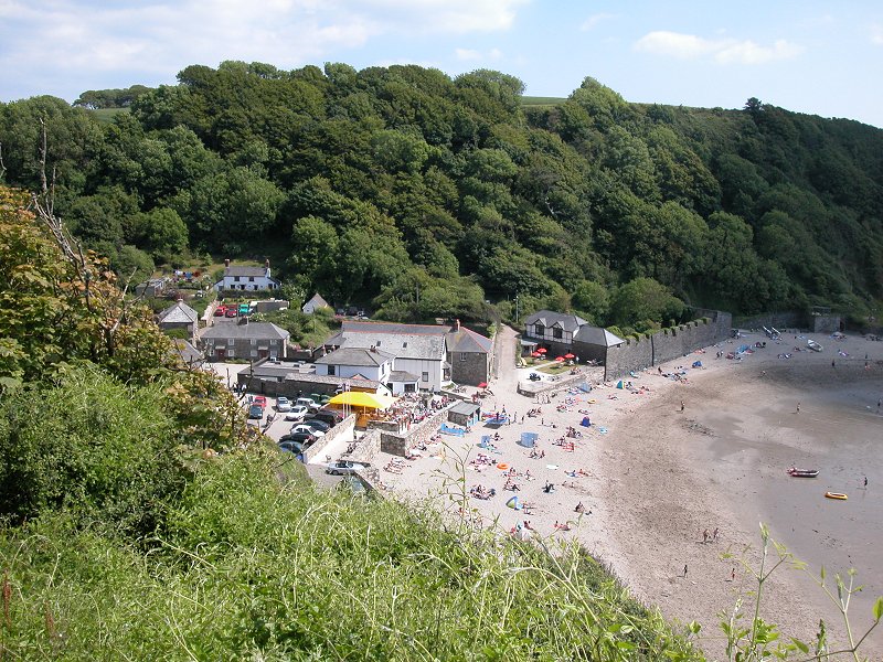
 Readymoney Cove, Fowey
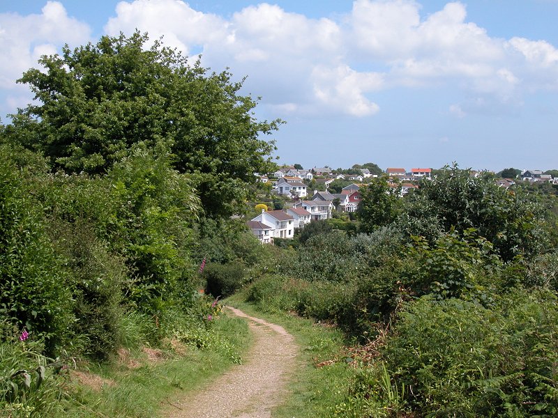
The path runs across another pasture similar to that
at Southground Cliff, but quite suddenly you reach a headland and Fowey
is laid out to your left. It looks very inviting. What you see is in
fact a "suburb" of Fowey named Readymoney Cove and the bulk of the town
is still out of sight round the corner. The frustrations are about to
begin afresh, however, for a recent landslip here has closed a couple
of local paths and the coast path markers vanish just when you need
them most. If you walk out to St Catherine's Point to see the views in
the pictures above you will be out on a limb; retrace your steps (it's
uphill I'm afraid) and take an unmarked and not terribly likely-looking
path down to your right (this is on the left of course as you approach
from Coombe Hawn).
 Woodland descent to Readymoney Cove
The path drops through a wood to reach Readymoney
Cove at its far end. Now the way ahead is straightforward. Go along the
access drive of the cove, which runs round a corner and becomes a
normal (though very narrow) motor road passing a number of very
desirable properties. The road swings uphill and round to the left to
leave Readymoney Cove and approach Fowey proper.


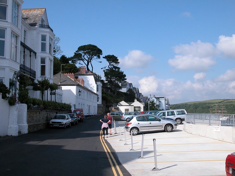
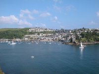
 Arriving in Fowey
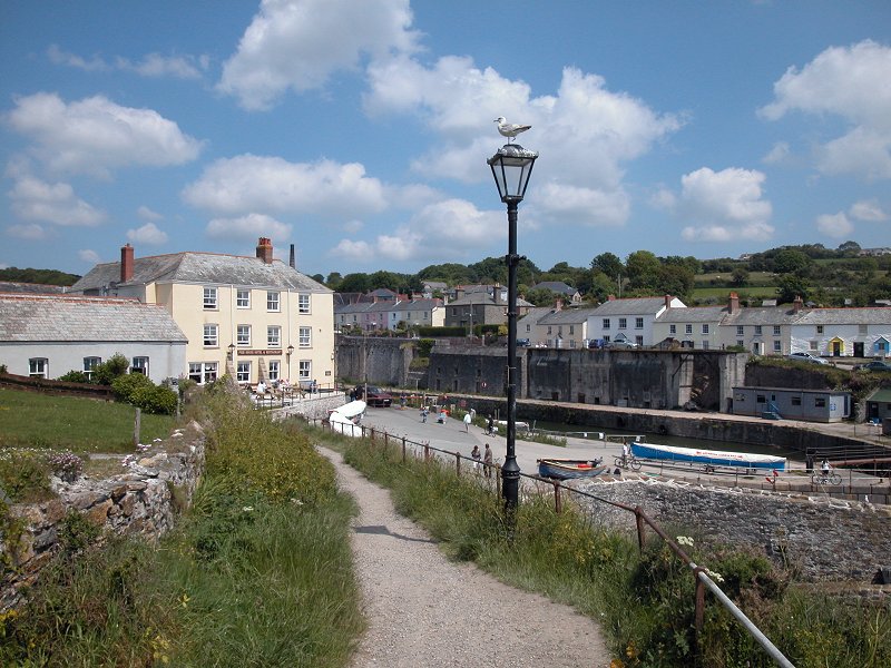
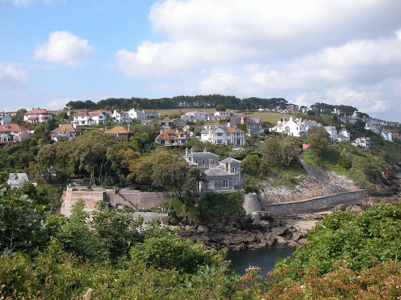
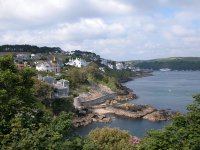
Fowey is lovely. It quickly takes on a terraced
appearance, with a row of properties lower down on your right and
another row above and to the left, with suggestions of further rows of
houses and cottages marching up the hillside beyond. The town lays on
the west side of a splendid natural harbour, the deepwater estuary of
the otherwise insignificant river Fowey river. Fowey is pronounced
"Foy". The estuary is a haven for pleasure craft, though there is also
still some commercial traffic operating here.
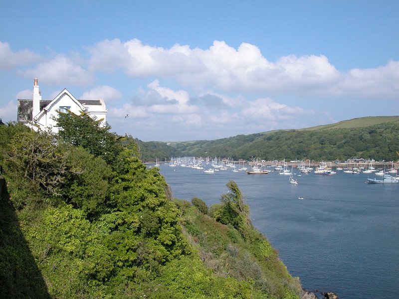
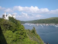
 The Fowey estuary
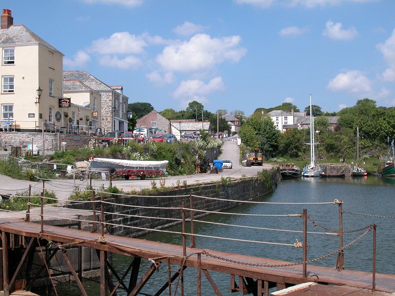
As you enter the Fowey estuary proper and Polruan
glides alongside opposite, the narrow road merges with a slightly wider
one coming in from the left. Fowey operates a one way system and all
the traffic will be coming towards you. You're now on the route of the
bus to Par, St Austell and Mevagissey and in theory you could catch it
at any safe place between here and the town centre half a mile ahead.
The road forks again and you take the wider and lower road. A little
way beyond the fork is the quay for the summer passenger ferry across
to Polruan and the coast path officially ends here. At other times of
the year, howevver, the Polruan ferry operates from the town centre
quayside a few hundred metres further along. No doubt you will want to
see Fowey and partake of its many facilities - there are shops and
cafes and pubs and restaurants and hotels and guest houses, and a bank
with a cash machine (something not seen on the coast itself since
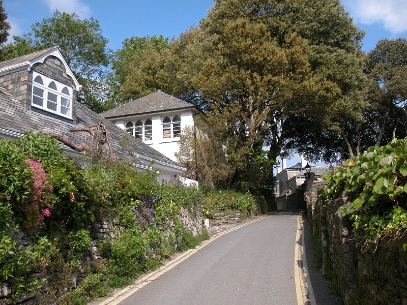
Mevagissey). Fowey becomes supremely cramped and is the third of four
classic coastal towns that exhibit what I call "quart in a pint pot"
architecture, with narrow lanes and tiny buildings shoehorned among
each other at crazy angles and on impossible slopes. Fowey is pictured
and described more fully on the next gallery, Fowey to Polperro.
Now
available on
CD - the high resolution (2560 x 1920 pixel) originals of the images
on this gallery. 147 images, 203MB of data.
(includes some images not
selected
for the website).
£5.00
inclusive
of postage / packing.
Note:
Payment
by credit card is handled by Pay Pal. If you are not already a member,
their validation of your account can take up to 4 weeks.
|