
| Chipping Campden to Bidford-on-Avon | Back to Heart of England Way index | Henley-in-Arden to Berkswell |
| Chipping Campden to Bidford-on-Avon | Back to Heart of England Way index | Henley-in-Arden to Berkswell |
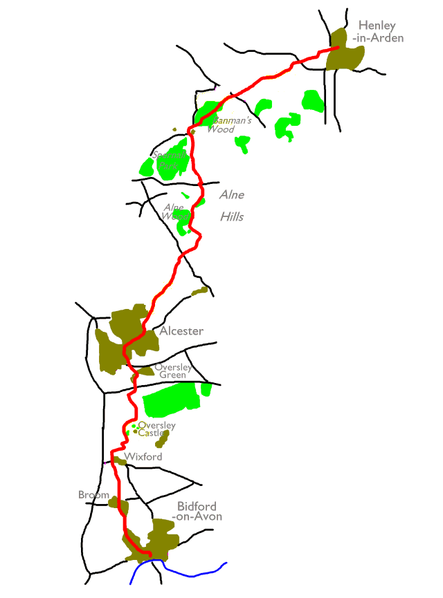
Maps: 1:25000 Explorers 205 (Stratford and Evesham) and 220 (Birmingham)
Click
on
any thumbnail image in this gallery to display the corresponding full
size
image. The images are access protected through a cgi script to prevent
hotlinking. If you encounter problems while trying to view the full
size
images, please read the access advice
page.
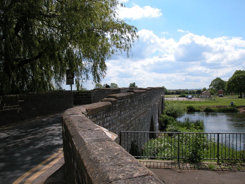
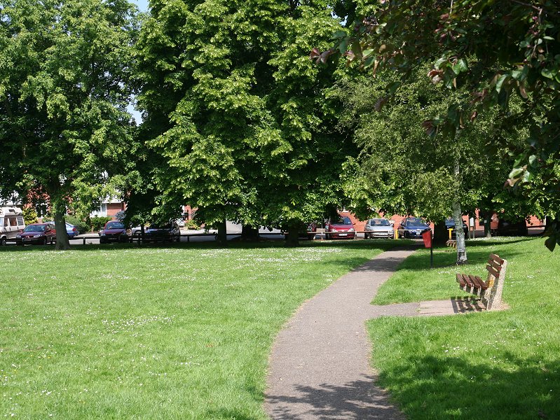
Bidford-on-Avon bridge
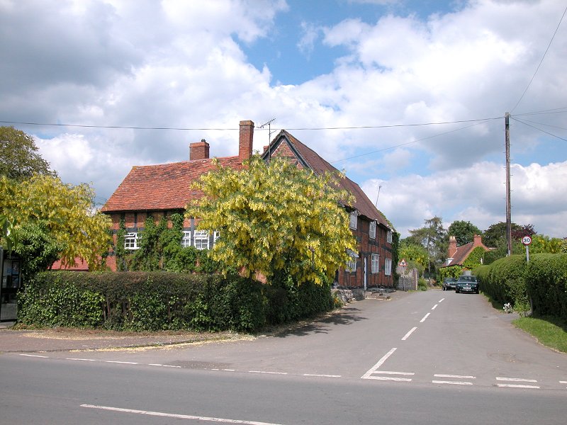
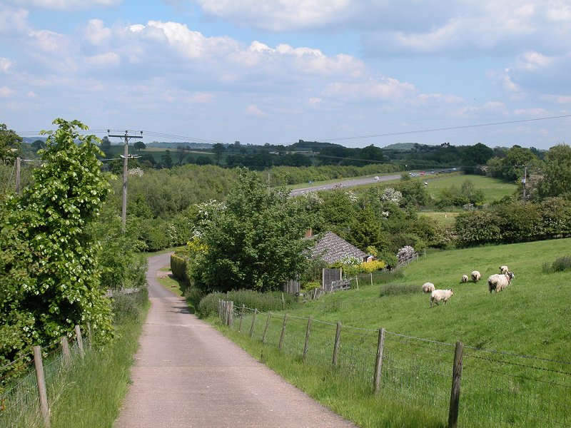
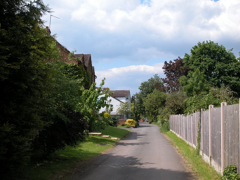
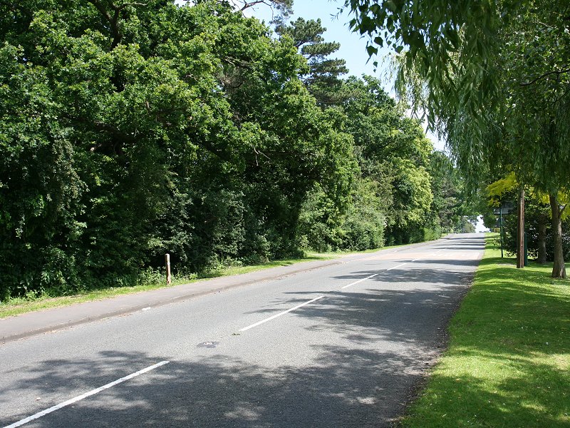
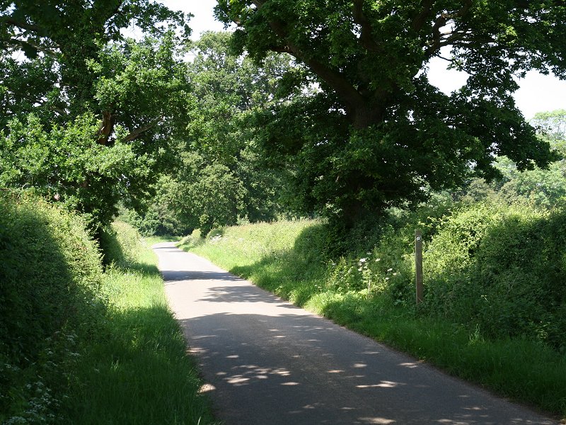
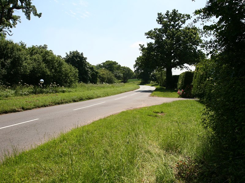
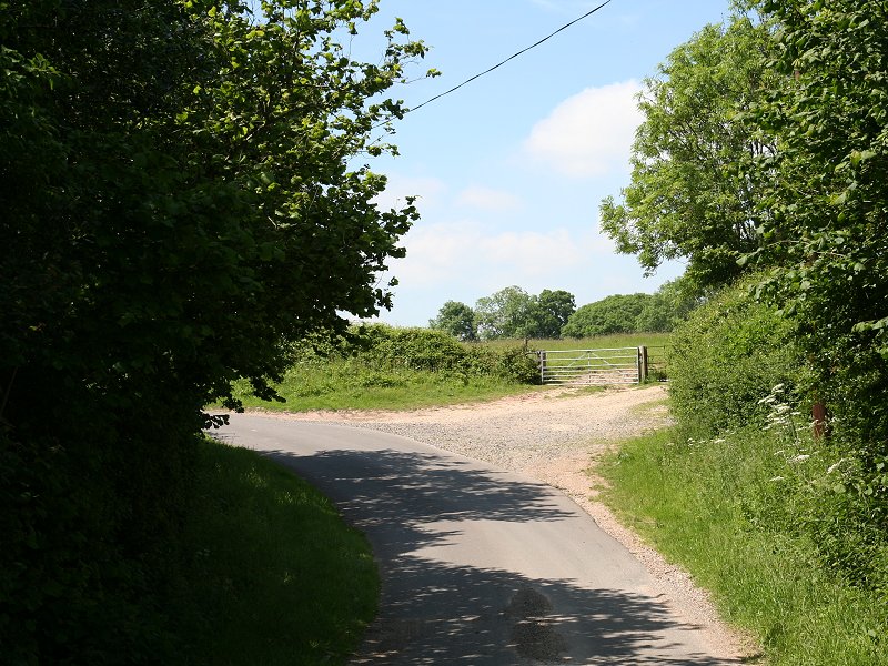
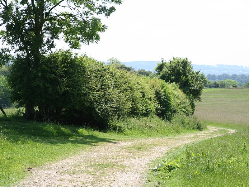
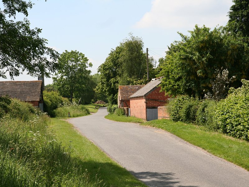
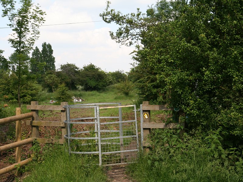
The path leaves Bidford remarkably quickly. Initially it hops through two lanes and a suburban back road, after which it runs along a path hugging the back gardens of a long row of older properties facing the main road to the west. The older properties give way to a new estate, after which the path converges with the road. Ahead is a humpback bridge carrying the road across the abandoned branch line from Stratford to the equally defunct Redditch to Cheltenham line.
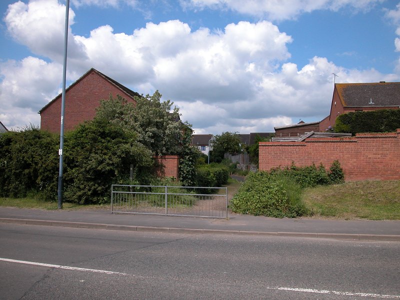
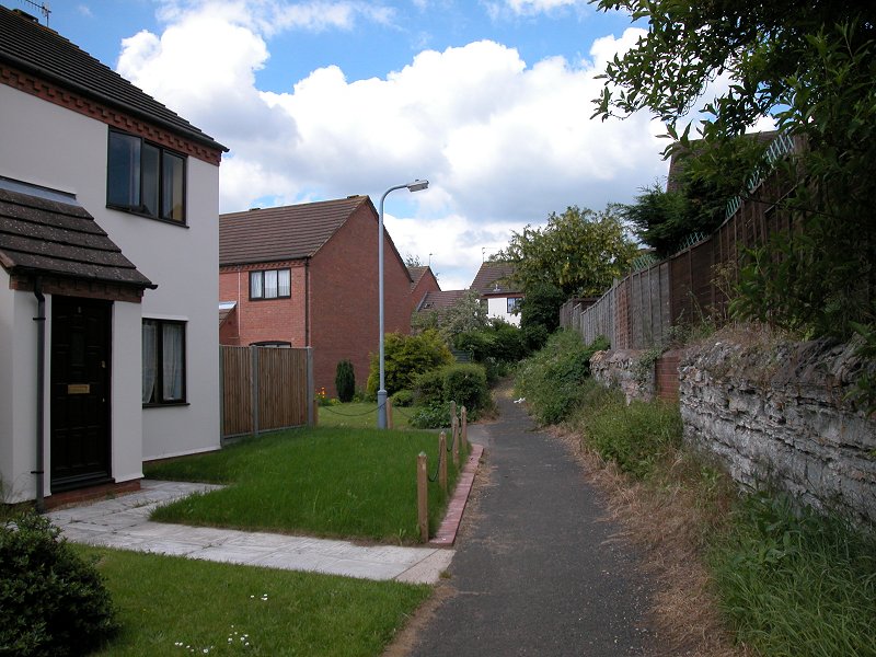
Negotiating lanes in Bidford on Avon
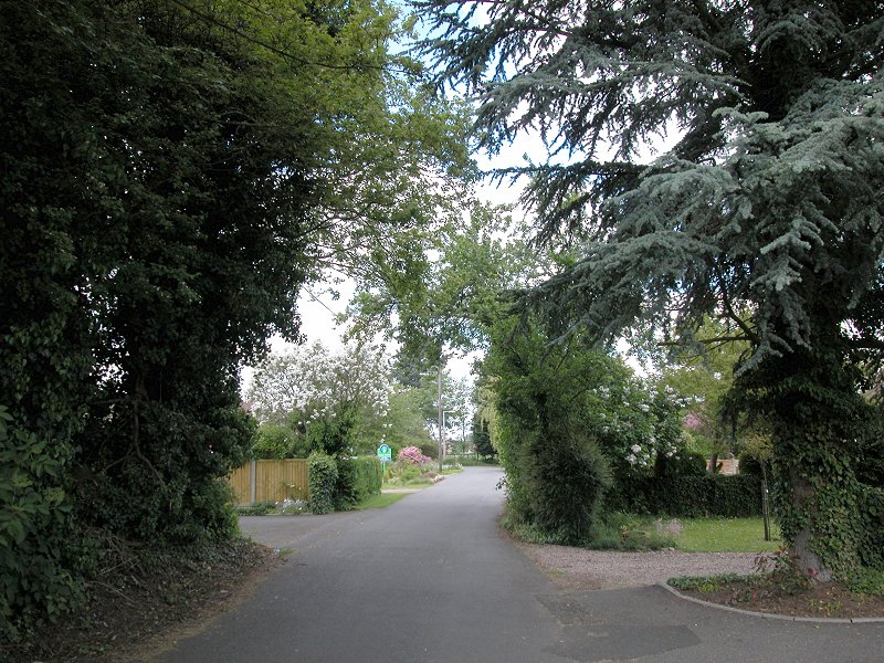
Suburban roads in Bidford
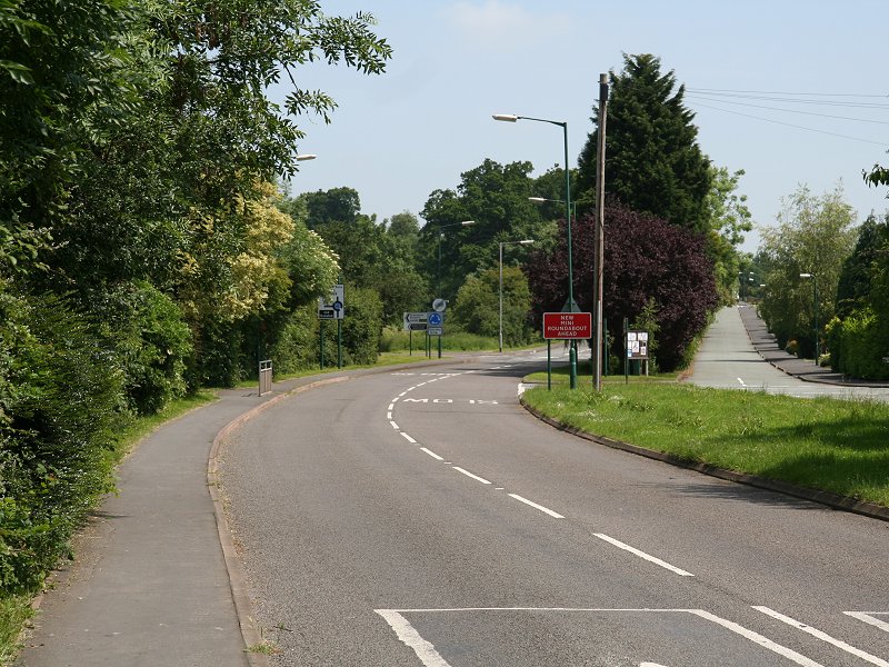
The HOE through Bidford-on-Avon
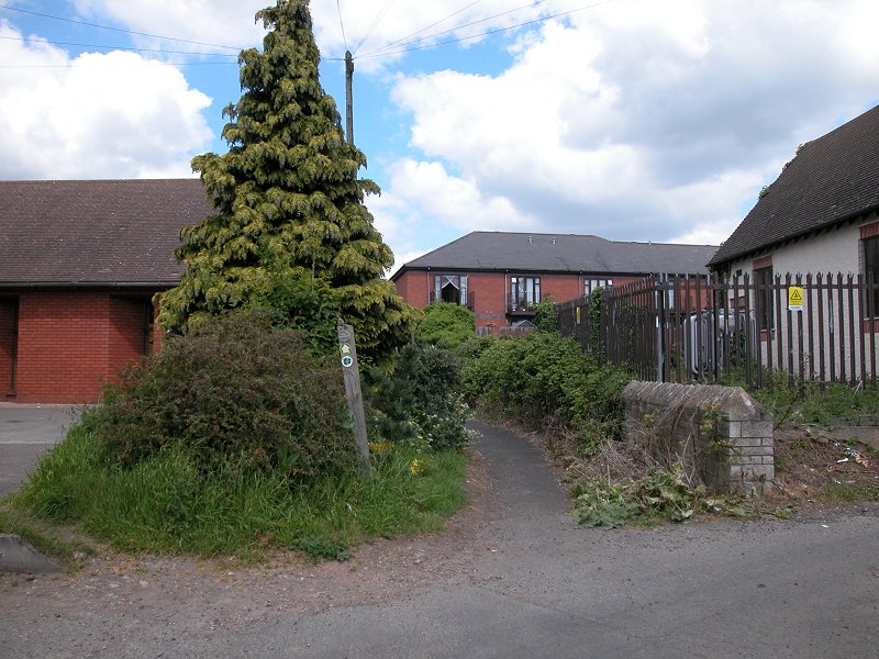
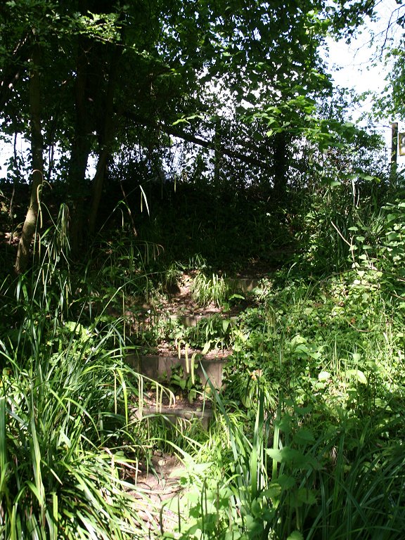
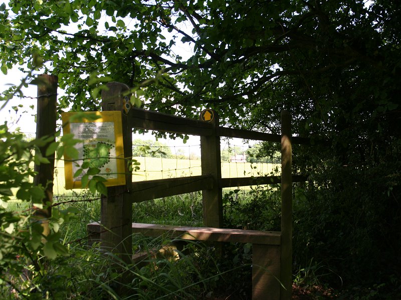
The route is a little confusing here as the path leaves the bridge to the east to continue at ground level, yet afterwards strikes off diagonally north west from the road immediately north of the bridge. You can either take the path beside te bridge and then walk back to the bridge parapet to then find the steep flight of steps off to the northwest, or ignore the path and use the road direct to the bridge (less satisfying but more straightforward).
The path east of the bridge, and the steps leading down from the bridge parapet
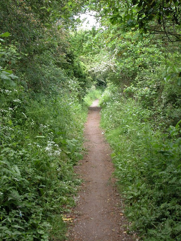
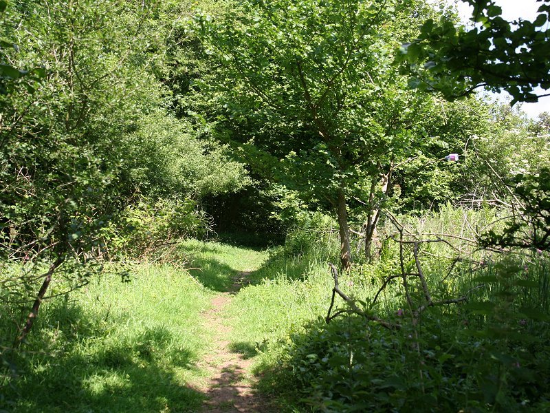
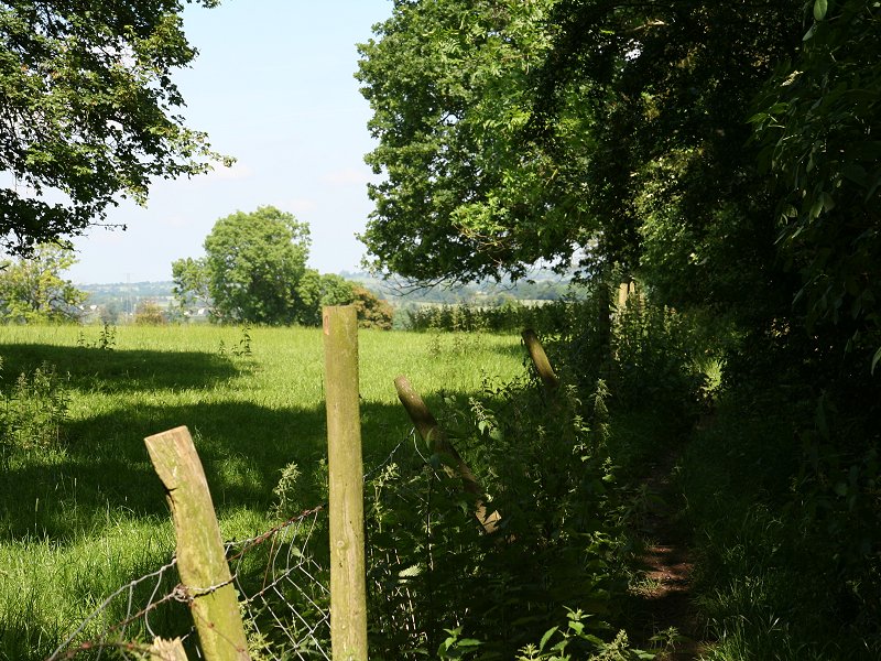
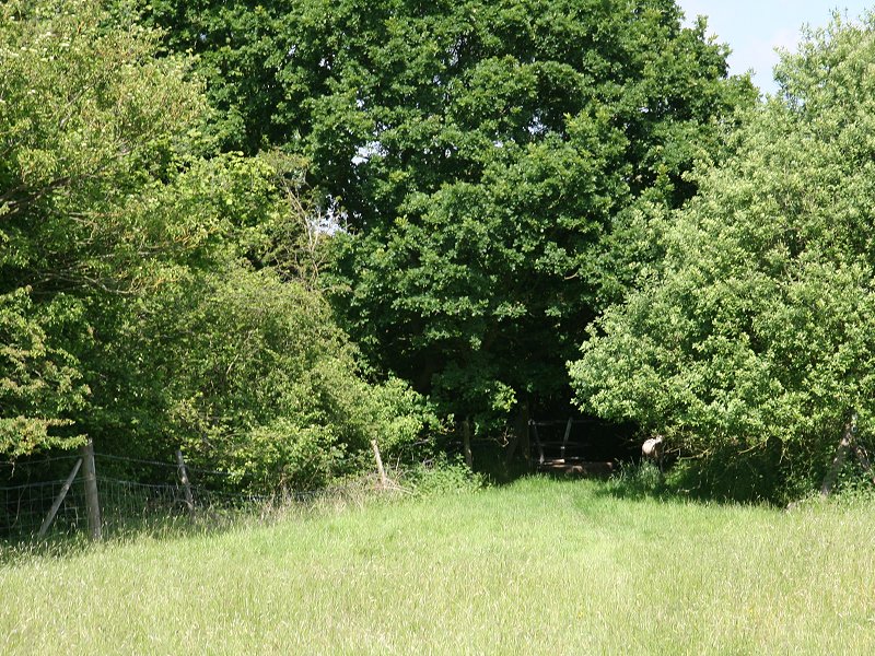
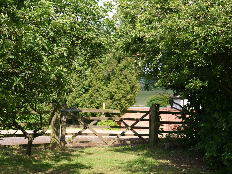
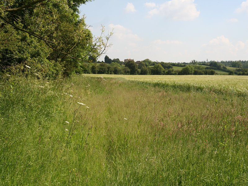
The path goes diagonally across a pasture between wooden fences to cross a back lane, and then hugs the boundary of a recreation ground to come into the village of Broom.
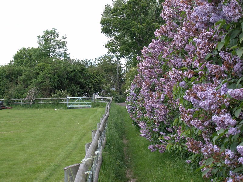
The approach to Broom
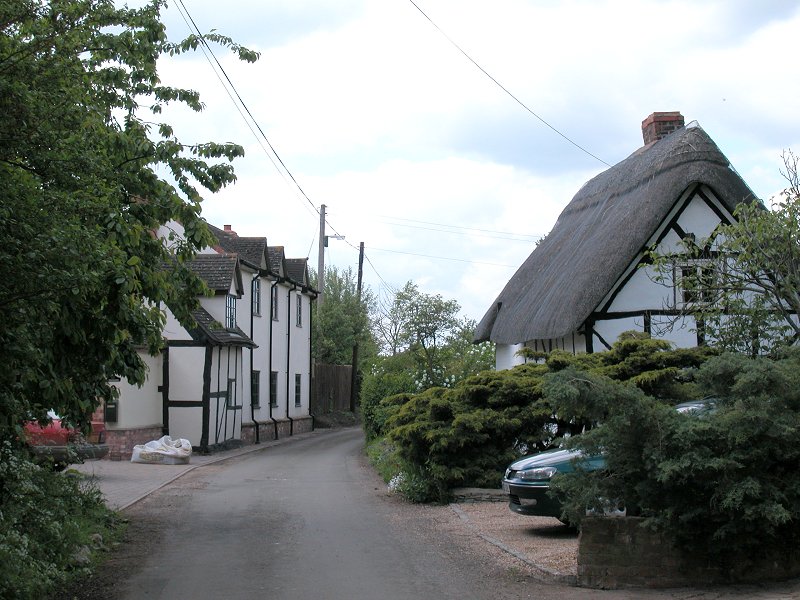
Broom
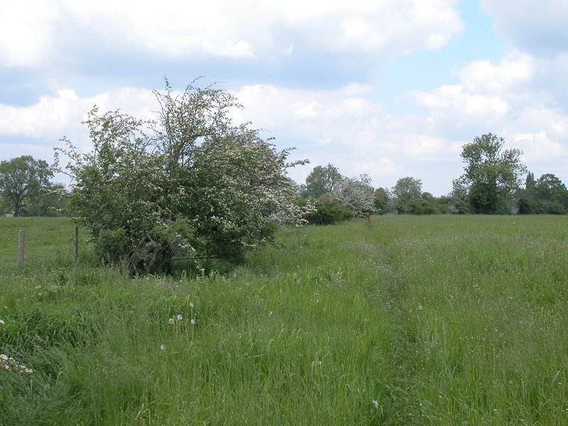
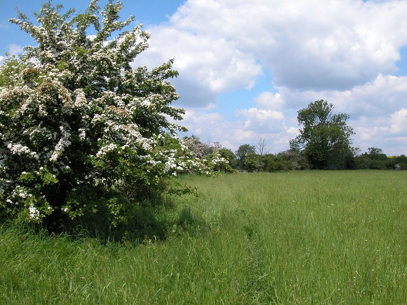
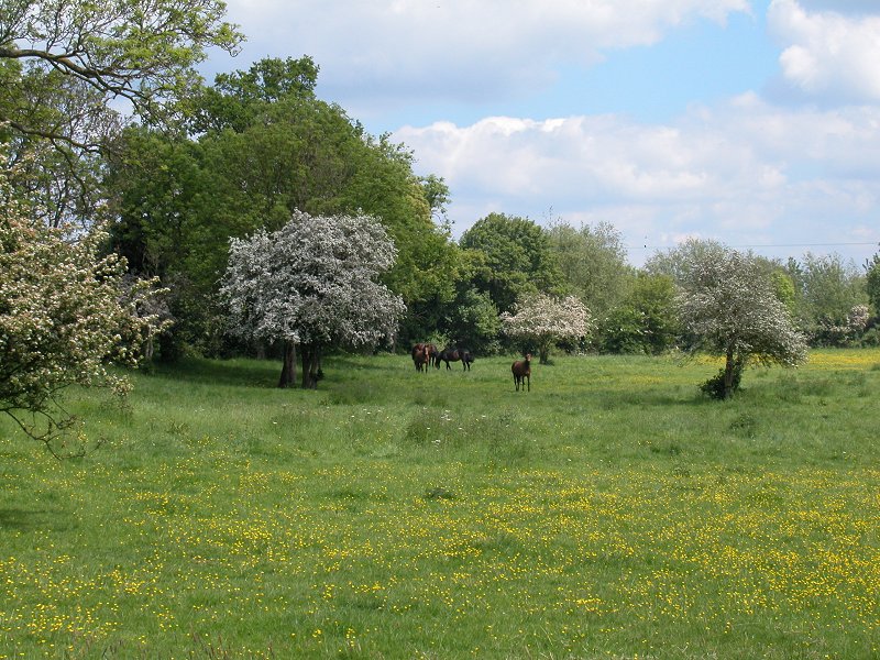
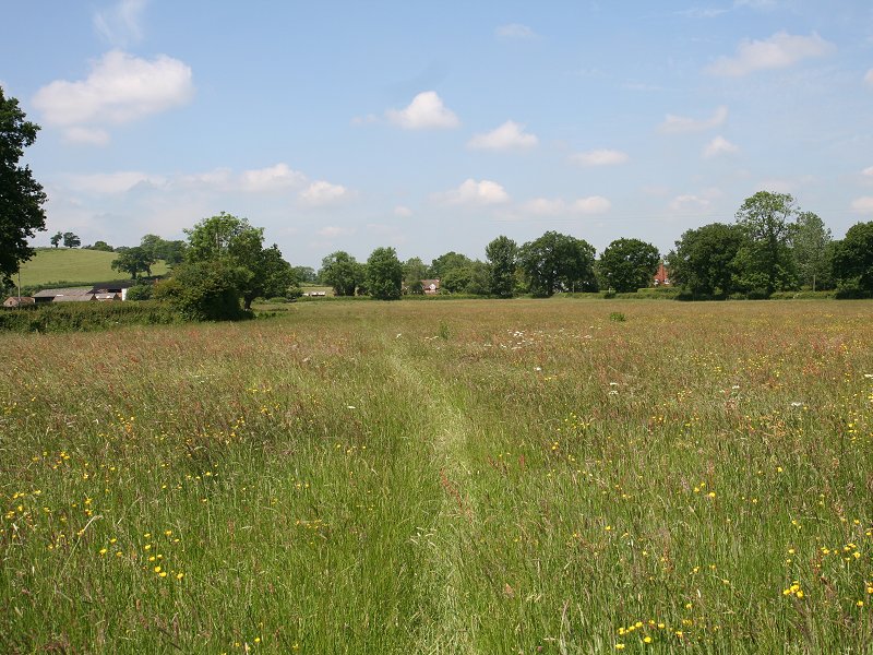
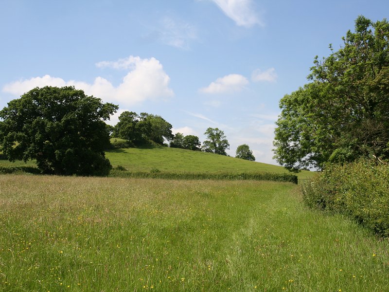
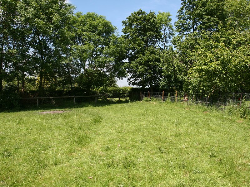
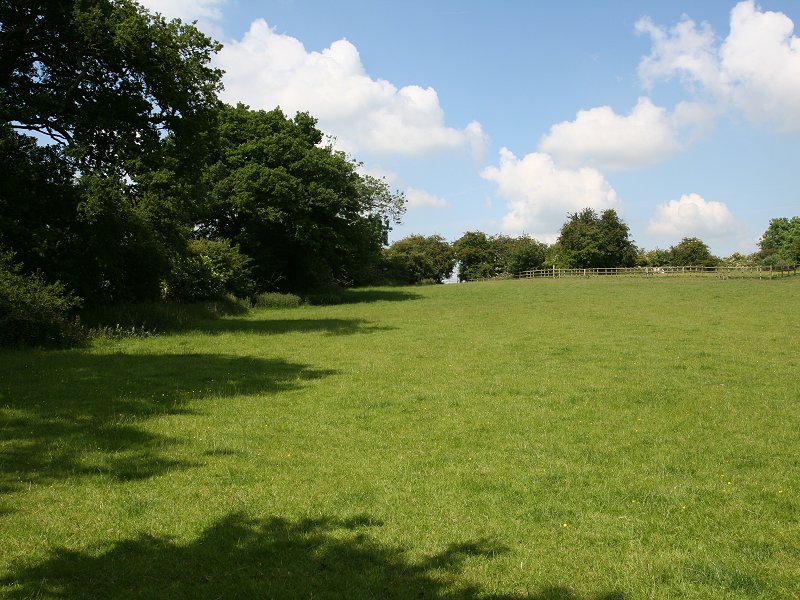
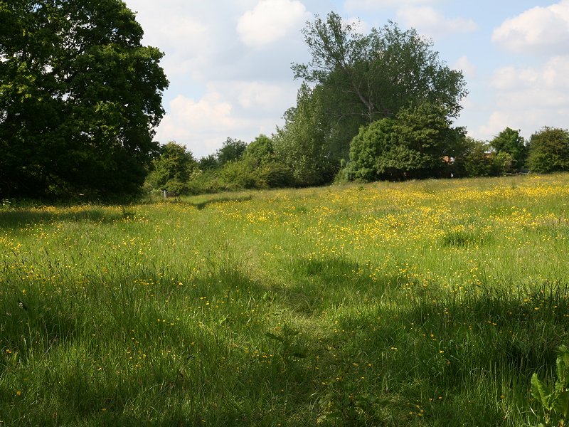
Broom is short, sweet and charming. Immediately beyond Broom is an extensive stretch of pastures apparently dedicated to the exercising and breeding of horses.
Moor Hall
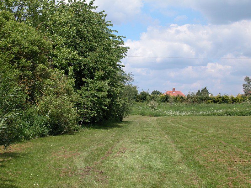
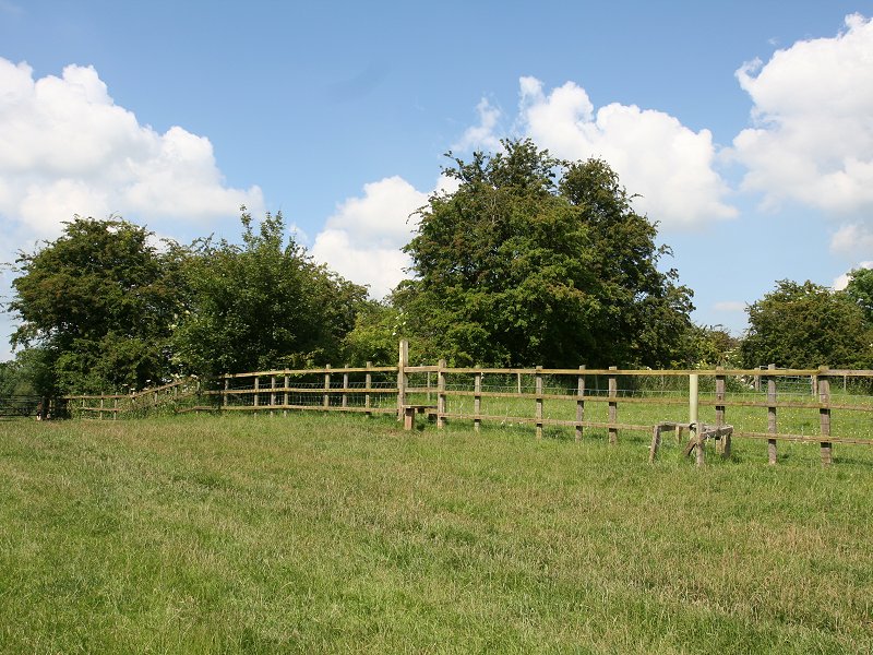
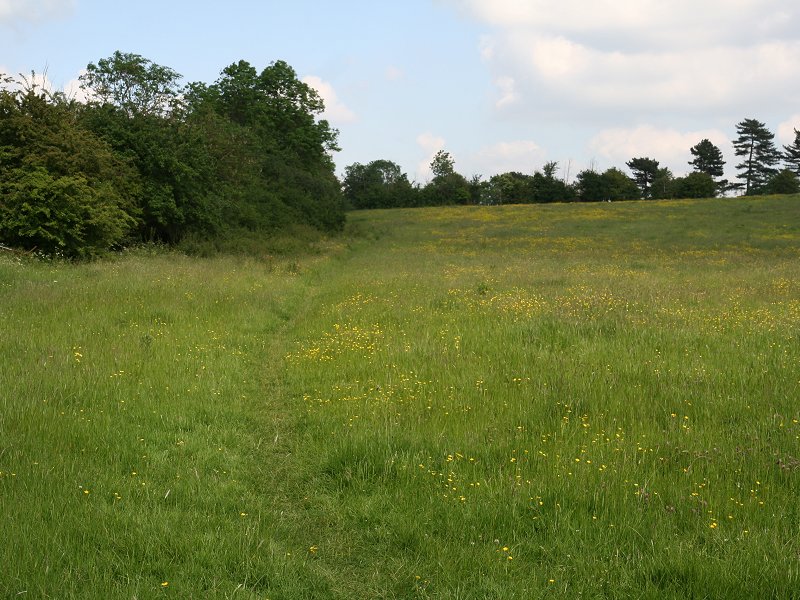
Moor Hall, the principal farm to the north of Broom, has the air of a major stud farm. At first the path strikes across an area marked out as a racecourse, then skirts the farm itself to the east. Further fields, each entered by a succession of stiles, either have horses grazing within or contain practice show jumping or steeplechase fences. There are few trees or hedges hereabouts but the greenery begins again immediately beyond the stud farm grounds. The houses of Wixford become visible, perhaps ten minutes' walk ahead.
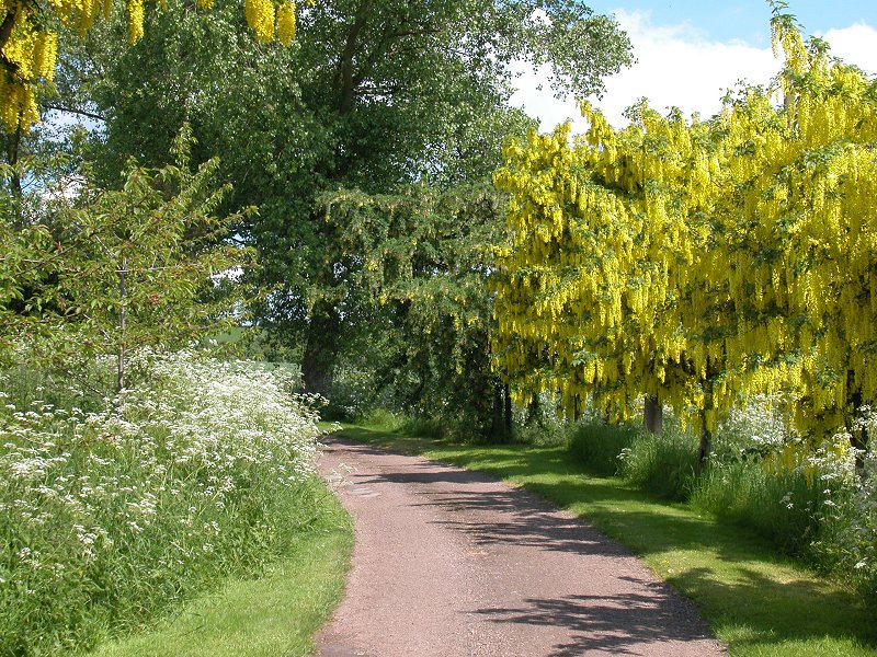
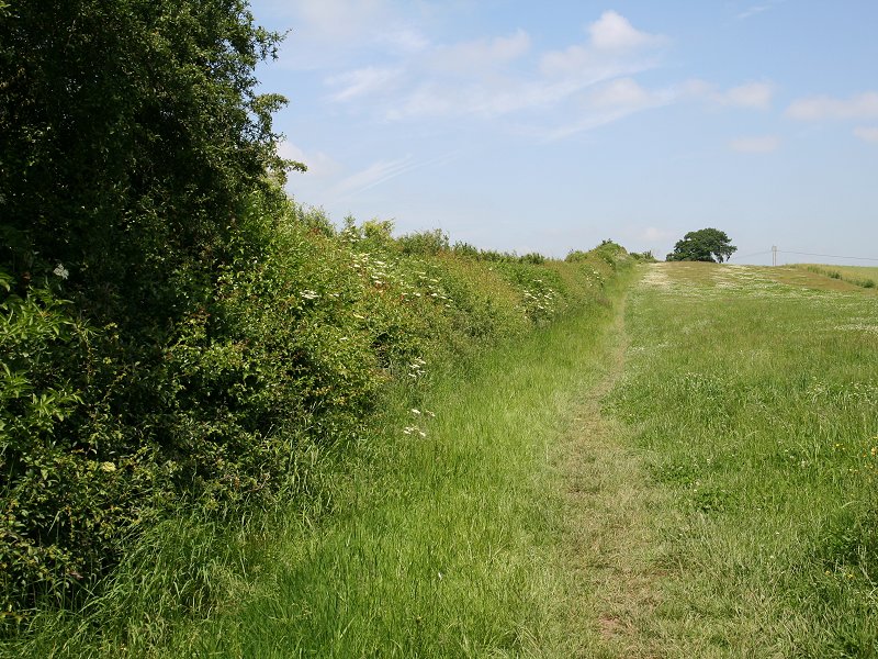
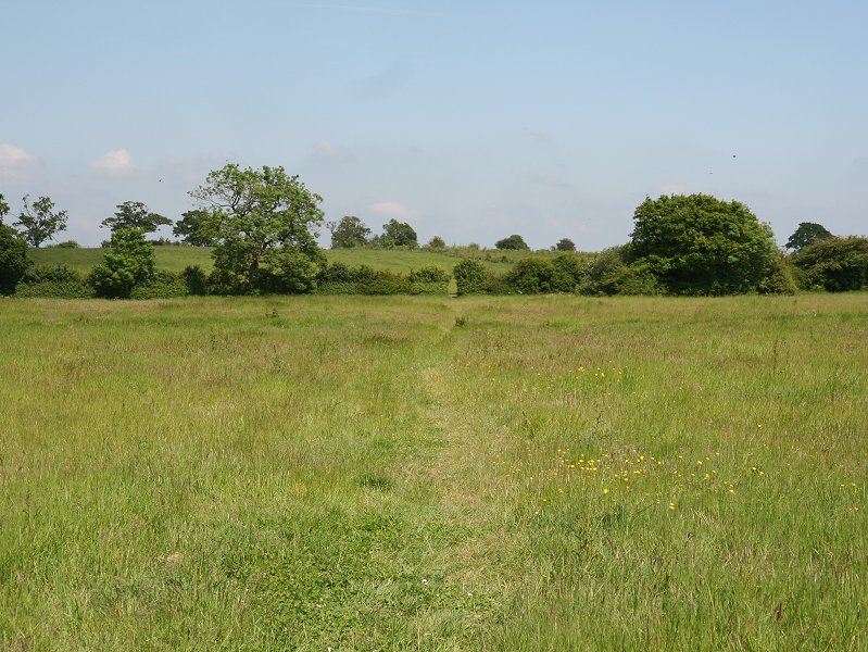
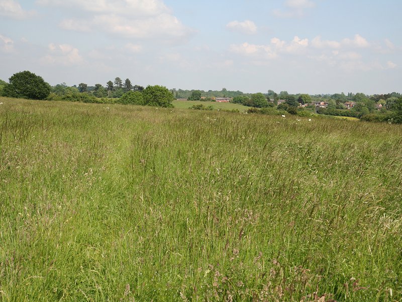
The Heart of England Way south of Wixford
The Heart of England Way near Wixford
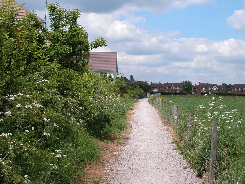
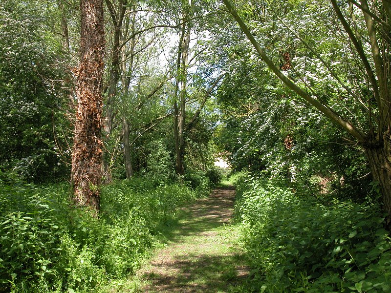
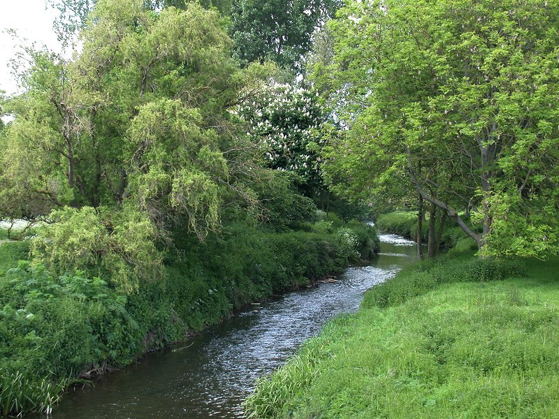
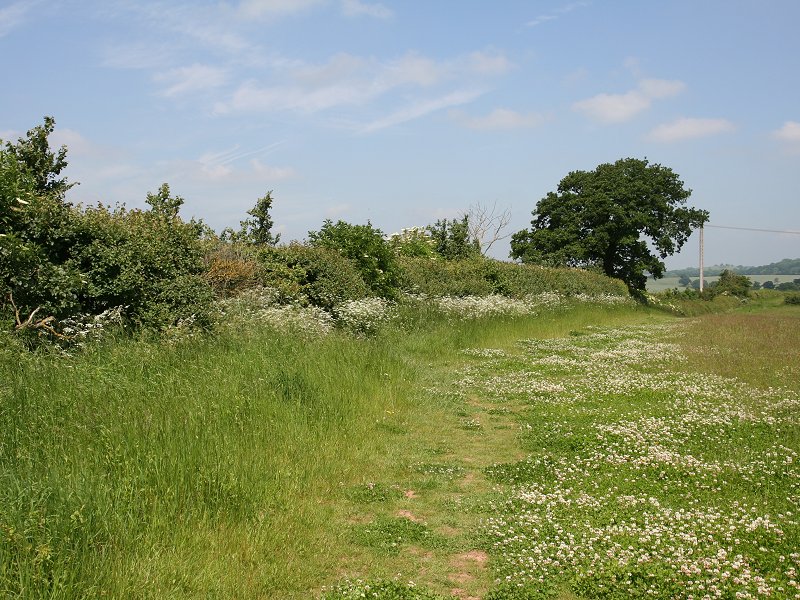
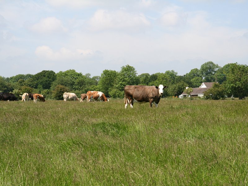
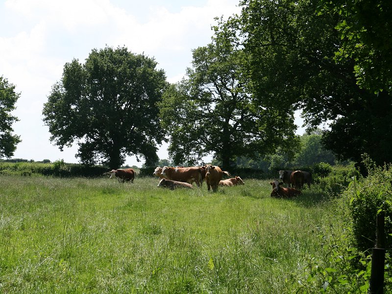
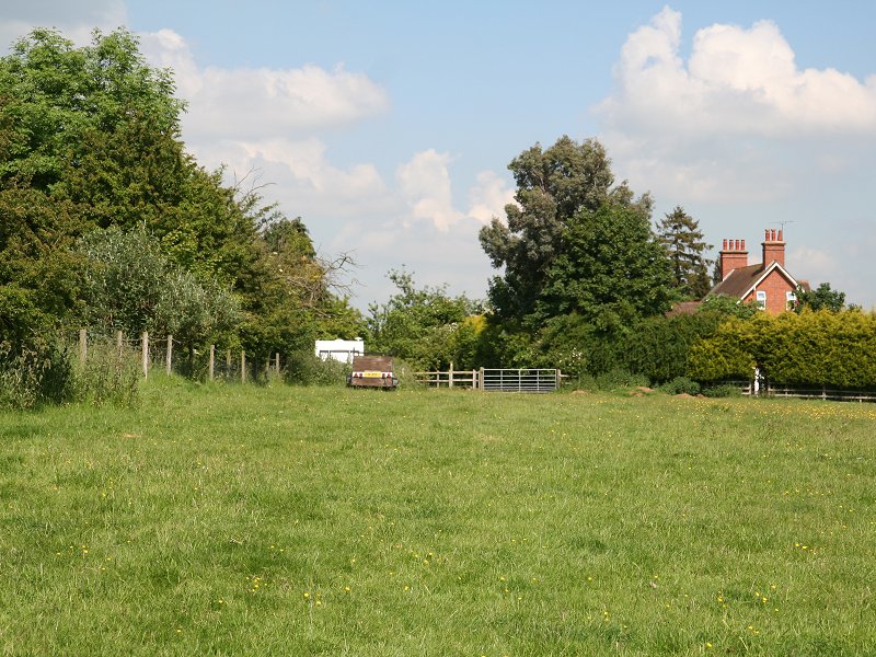
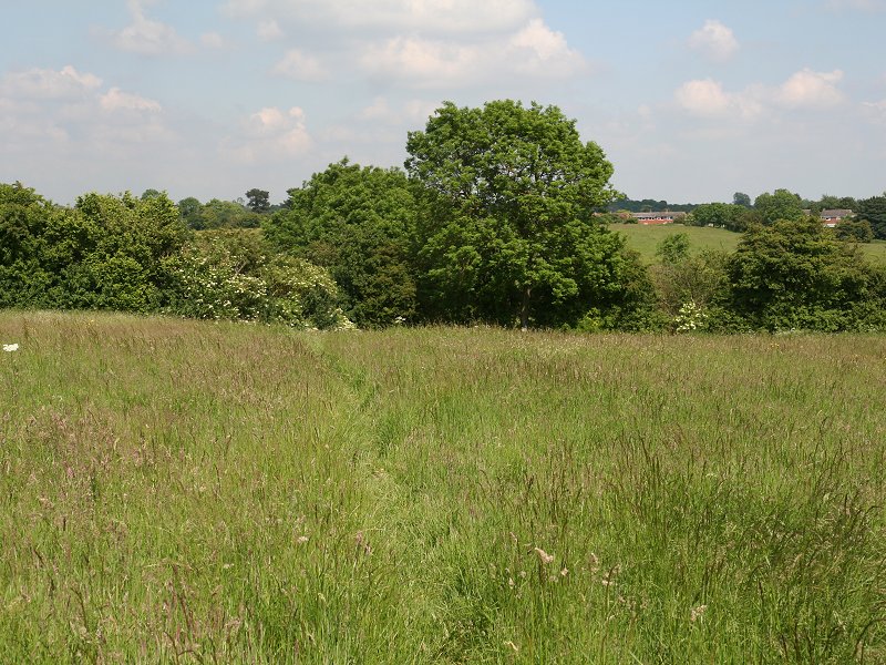
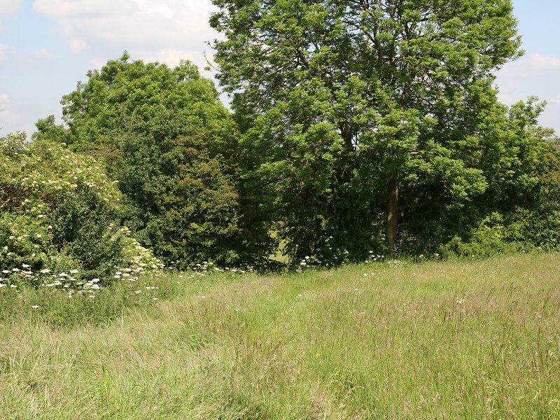
The pastures leading into Wixford are quite delightful, undulating swards grazed by a small number of cattle and boasting two footbridges across tiny side streams. The River Arrow, a tributary of the Avon, lays just to the left and the main road bridge over the river can be seen up ahead. Wixford itself lays along the road to the right but we continue to the north.
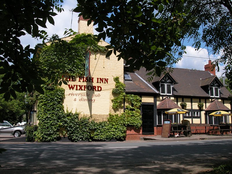
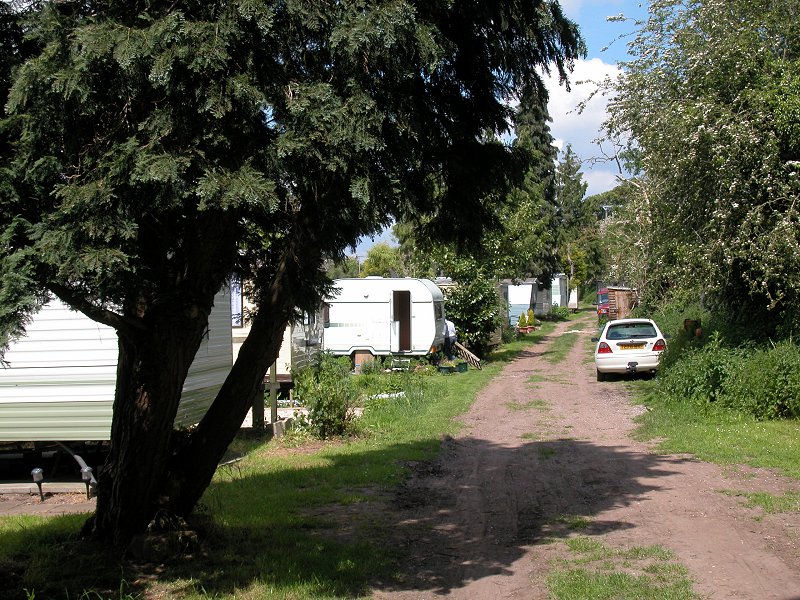
Wixford and the caravan site
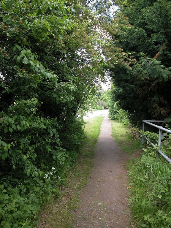
Once across the road the HOE runs through a caravan park bordering the river. Beyond the caravan park the Way briefly becomes a narrow and muddy path squeezed between trees before turning right to hug the boundary of a new development of executive houses.
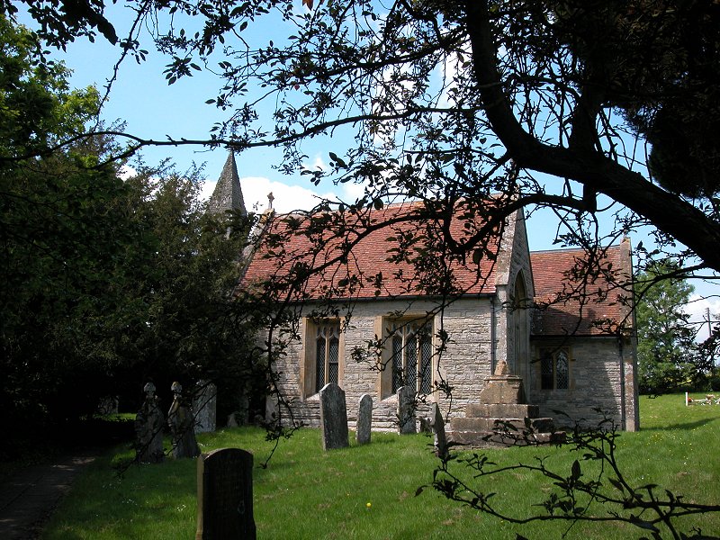
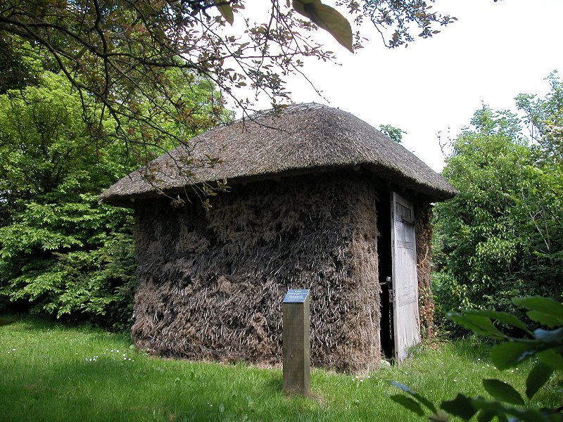
Wixford Church and the entrance drive to Oversley Castle
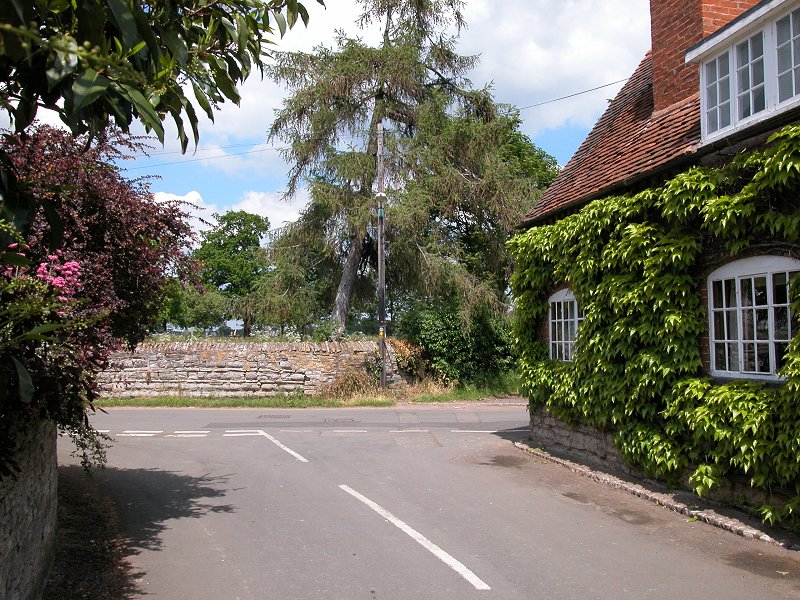
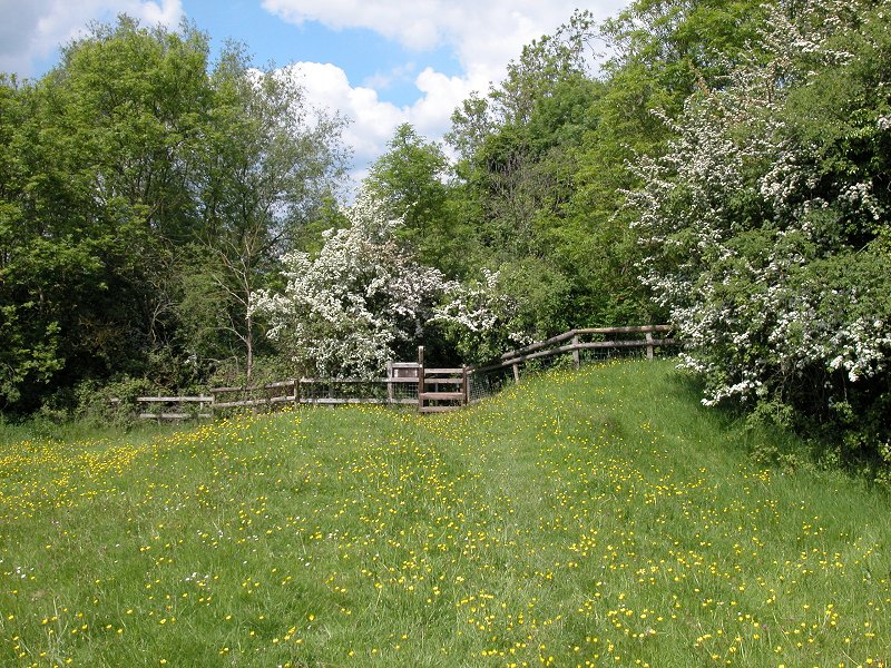
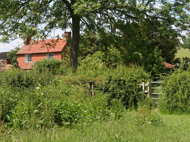
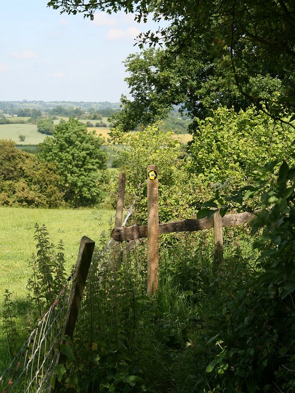
You now come to a crossroads of dirt roads. To your left is Wixford's church, and within the grounds is a lovely little thatched stable, which served to house the horse of the visiting cleric some two hundred years ago.
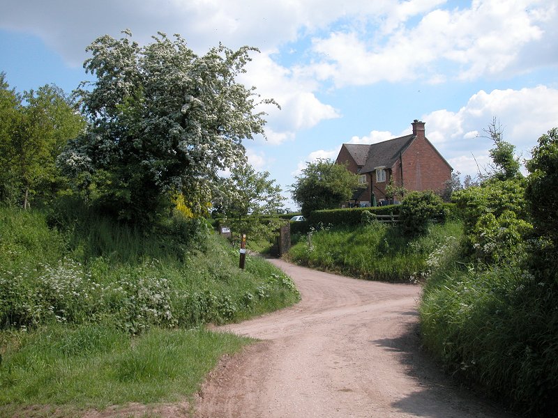
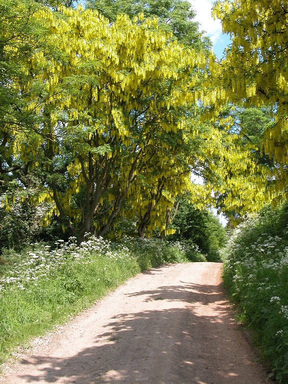
Take the drive straight ahead, which is the entrance to Oversley Castle.

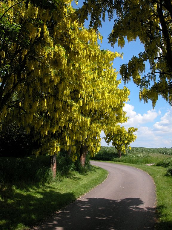
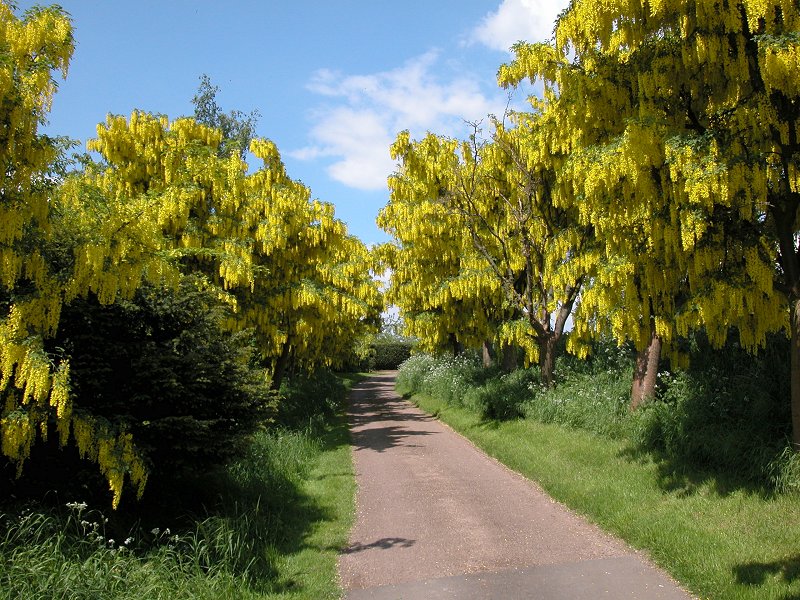
The driveway to Oversley Castle
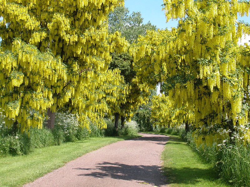
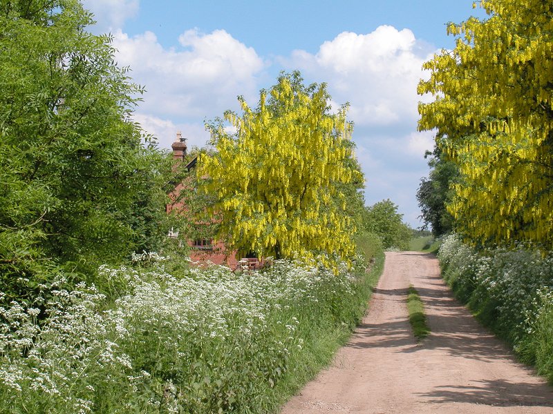
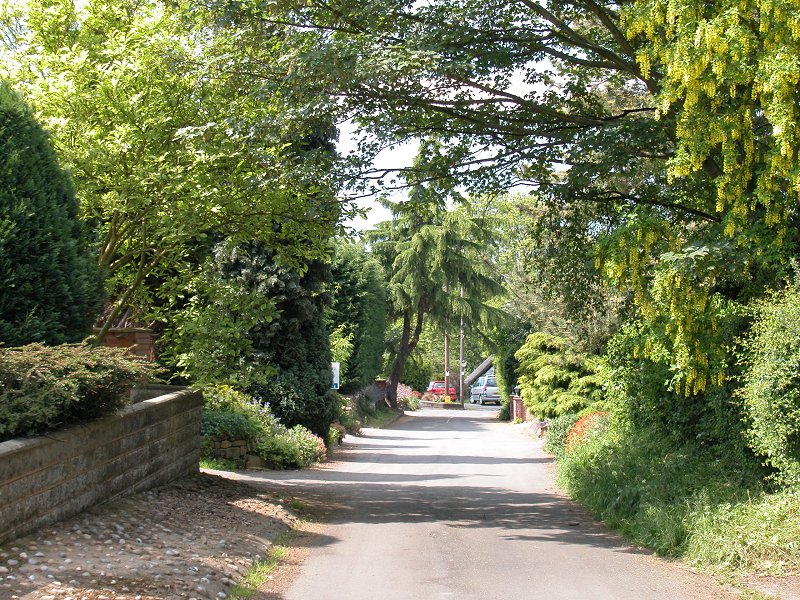
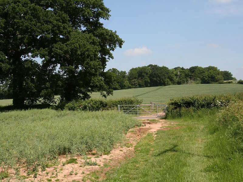
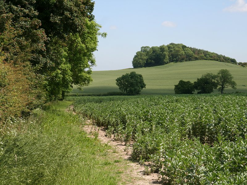
The Way now runs along the drivewy to the castle. The drive is planted either side with laburnum trees, which look glorious in May when in blossom. They smell lovely too, but don't touch them - laburnums are poisonous. The drive climbs the western aspect of the hill quite steeply before doglegging to the left and then swinging clockwise round three sides of a plantation of trees, hugging the 210 ft. contour. The trees hide the castle from view.
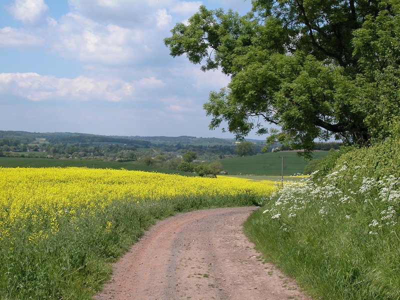
The drive to Oversley Castle, and a view back towards Wixford
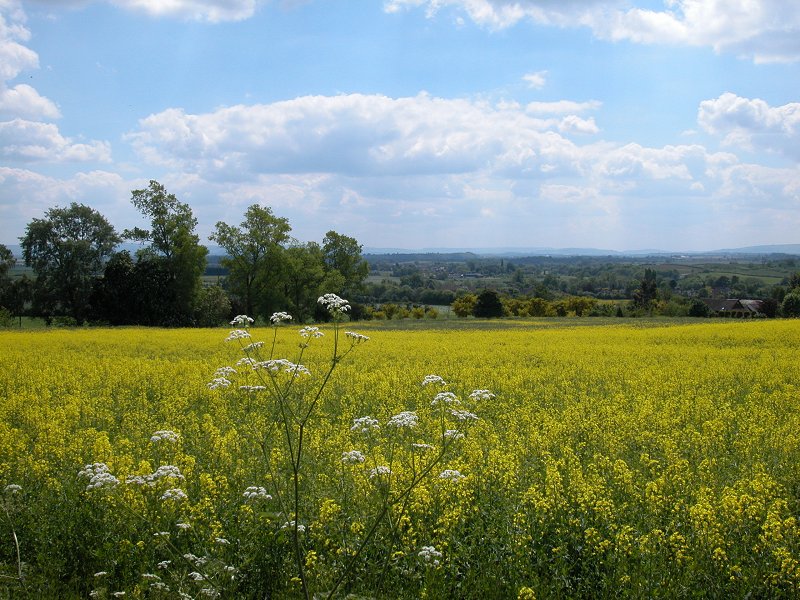
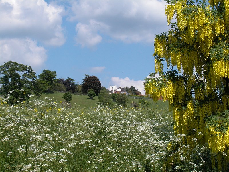
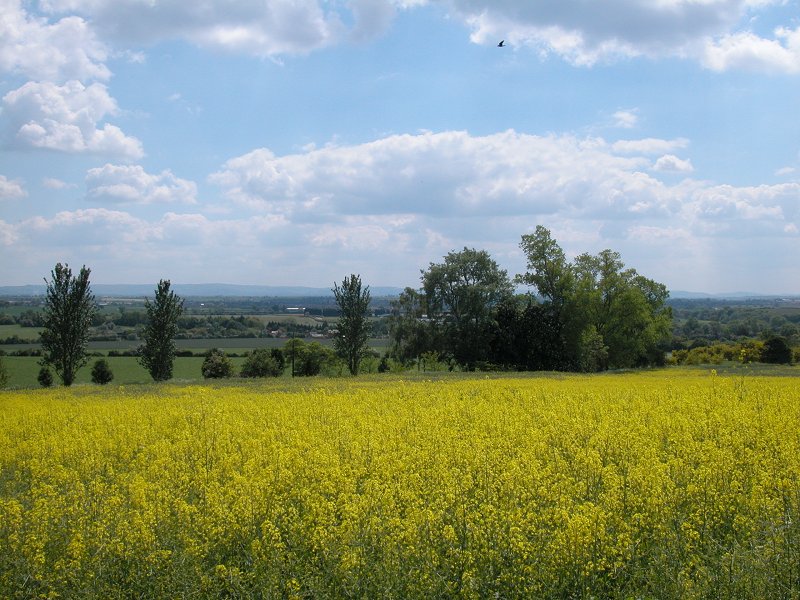
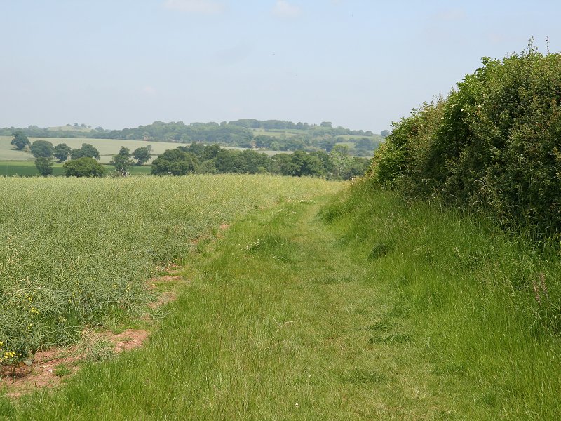
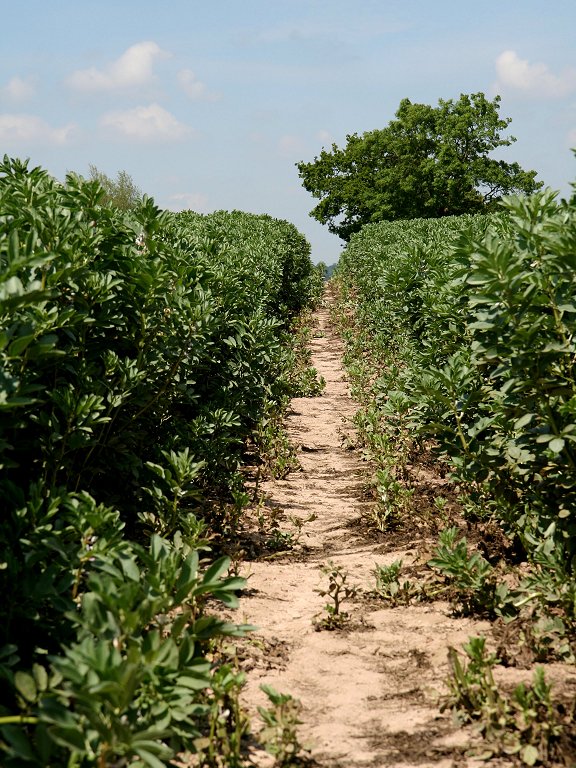
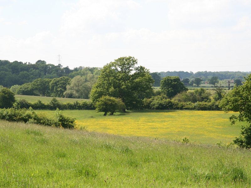
Nearby fields of oilseed rape
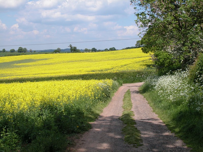
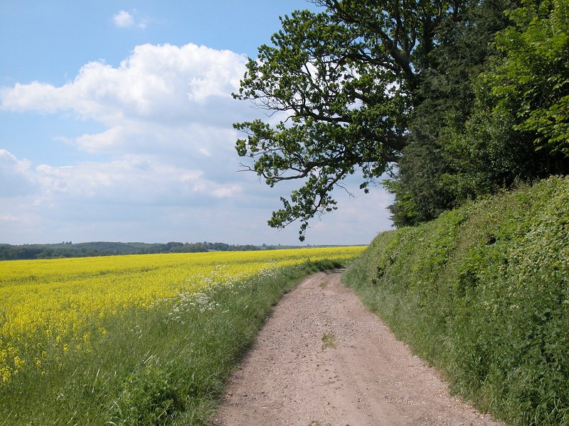
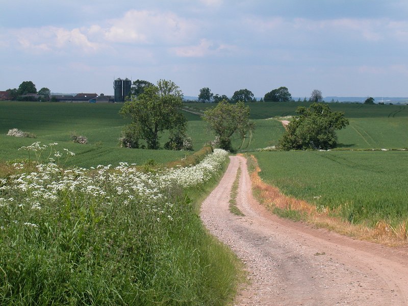
The track around Oversley Hill
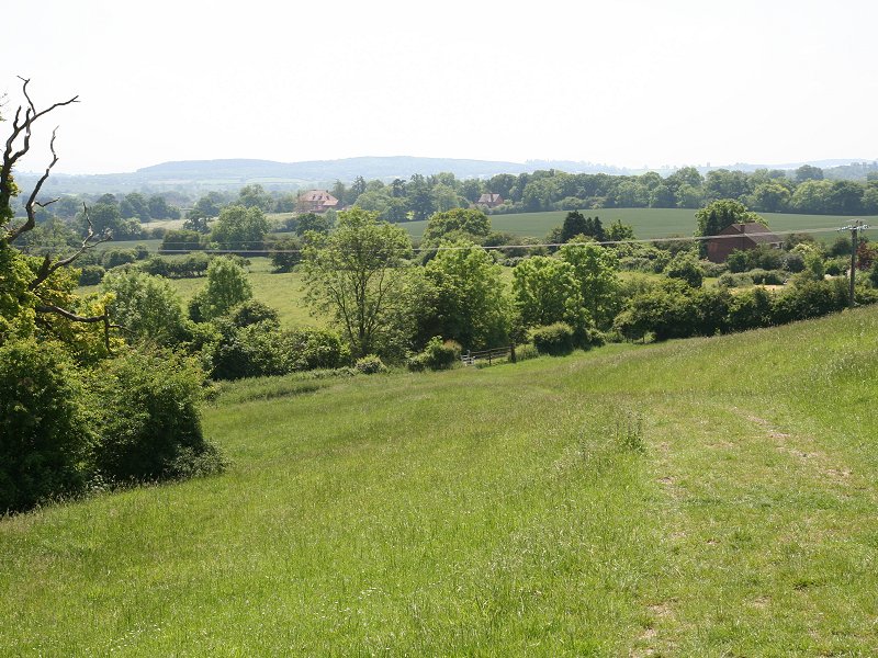
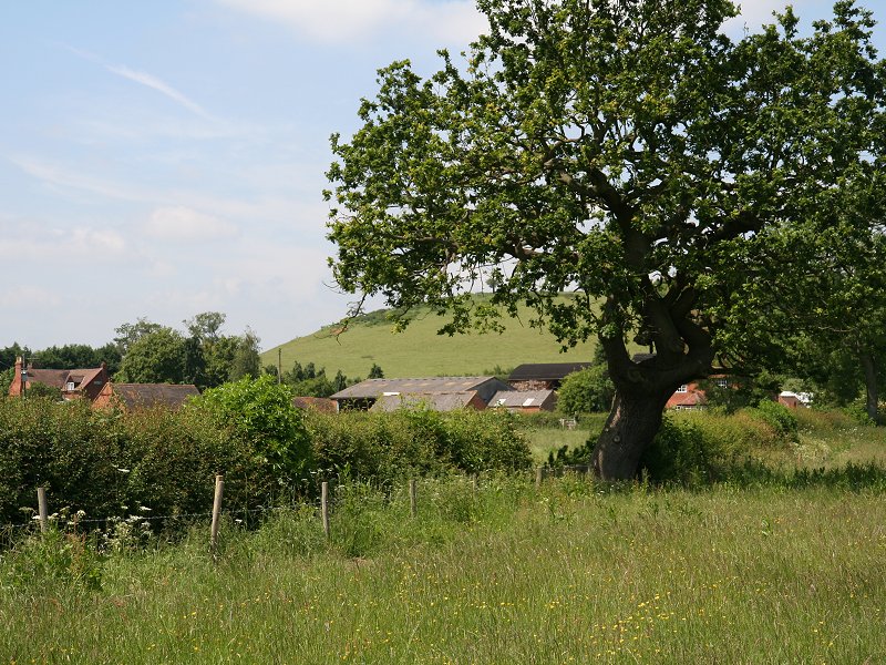
From the north side of Oversley Hill the path turns left again, to head downwards to a col short of Primrose Hill, the next objective. From the col climb up to the ugly and enormous grain silos at Lower Oversley Lodge. Primrose Hill drops sharply from here and you will be rewarded by a view of Alcester, nestling below.
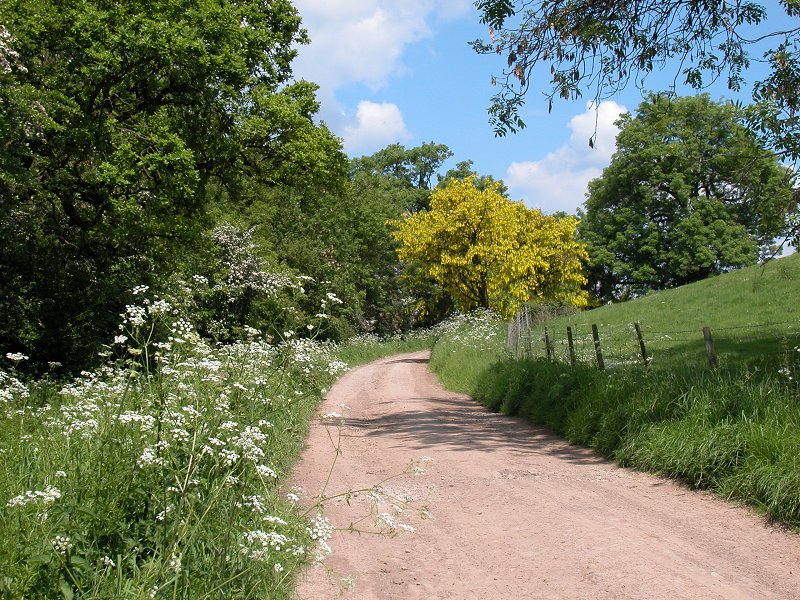
The HOE north of Oversley Hill
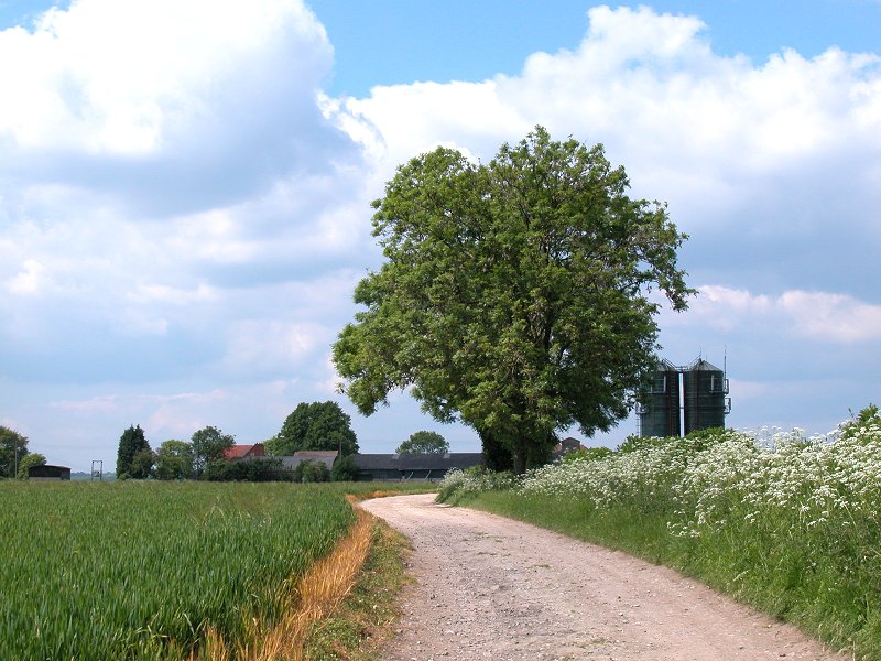
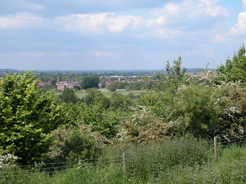
Lower Oversley Lodge and the first sighting of Alcester
Approaching Oversley Green
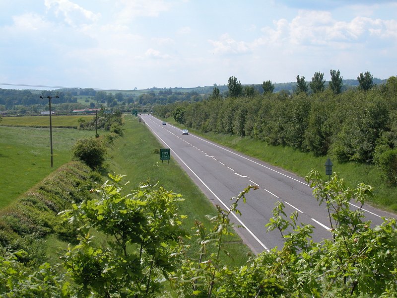
Crossing the bypass
Oversley Green
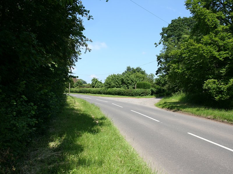
Walk through Oversley Green and turn left onto the main road towards Alcester.

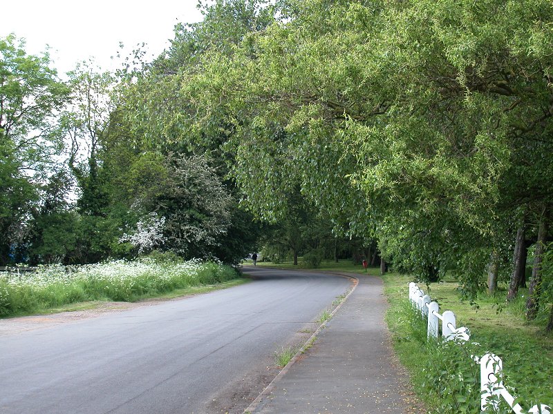
Oversley Green
Approaching Alcester theough the park
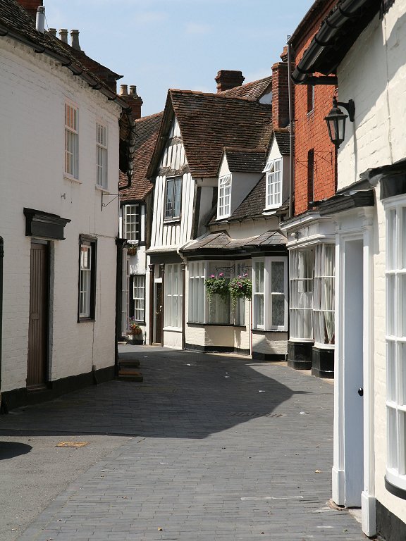
Malt Mill Lane and the church
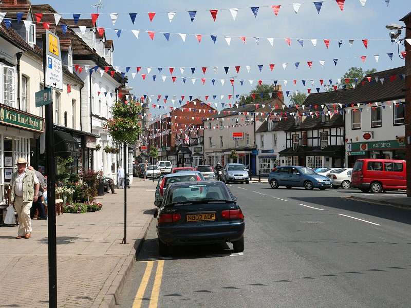
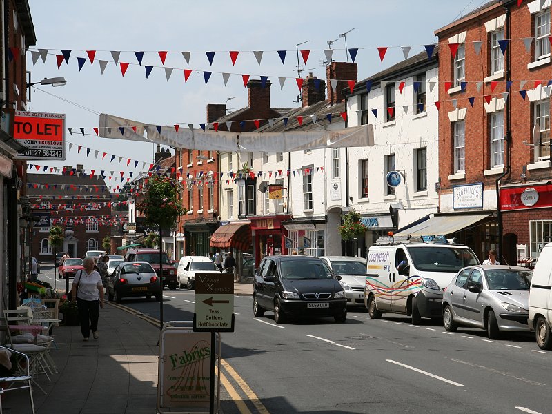
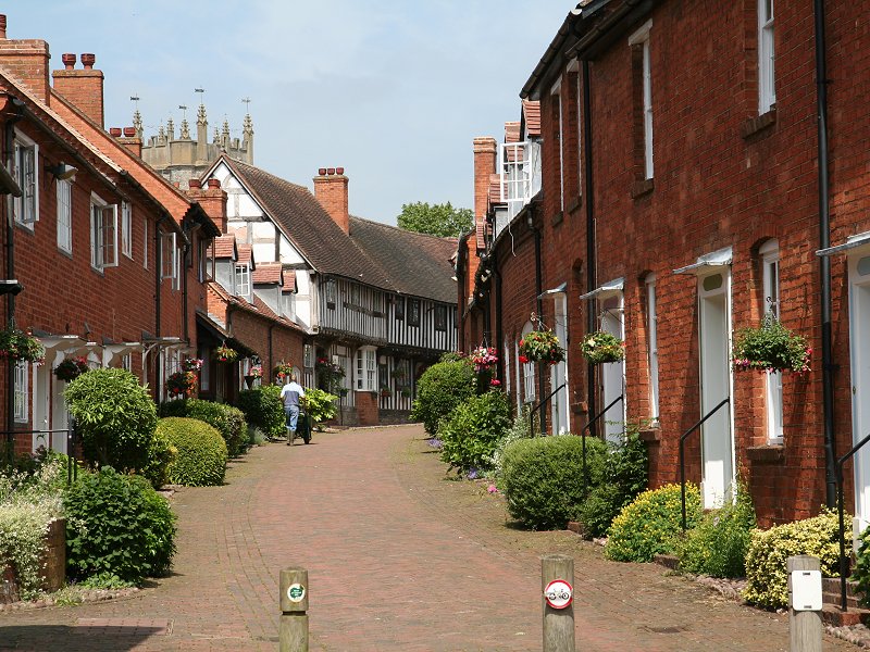
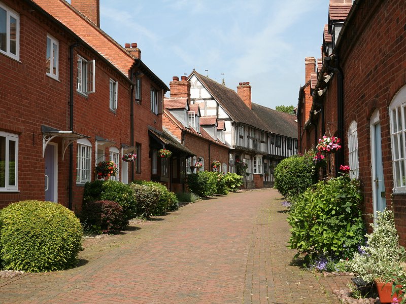
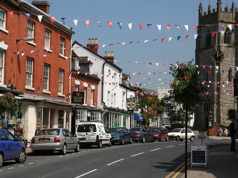
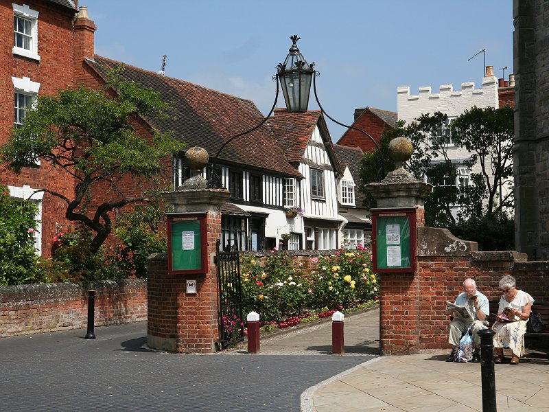
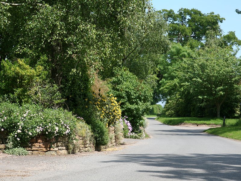
Alcester
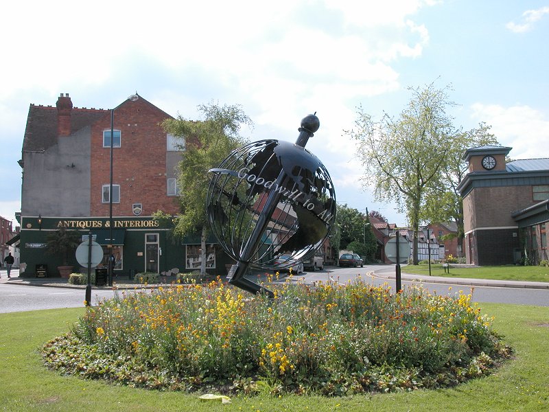
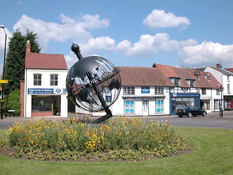
The Alcester Globe
If you're breaking the journey at Alcester
you should be aware that
not all buses go through the town centre - services to Evesham, among
others,
leave from the stances on the far side of the roundabout southwest of
the
town centre. This roundabout features the Alcester Globe, erected in
1995
to mark the 50th anniversary of the end of the second world war. The
Globe
Inn formerly occupied the same site.
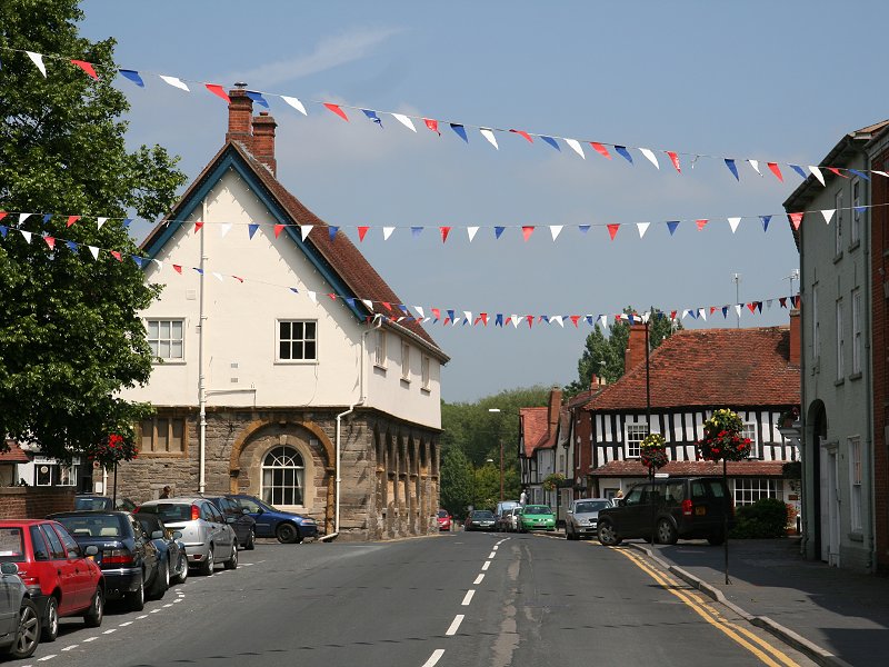
Alcester
Go north from the town centre along Butter
St and then head out on
the
main road to the northeast, the B4089. Alcester's housing estates
stretch
for some distance to the north beyond a further crossing of the River
Arrow.
The main road began to climb again as it reaches the northeastern
outskirts
of the town.
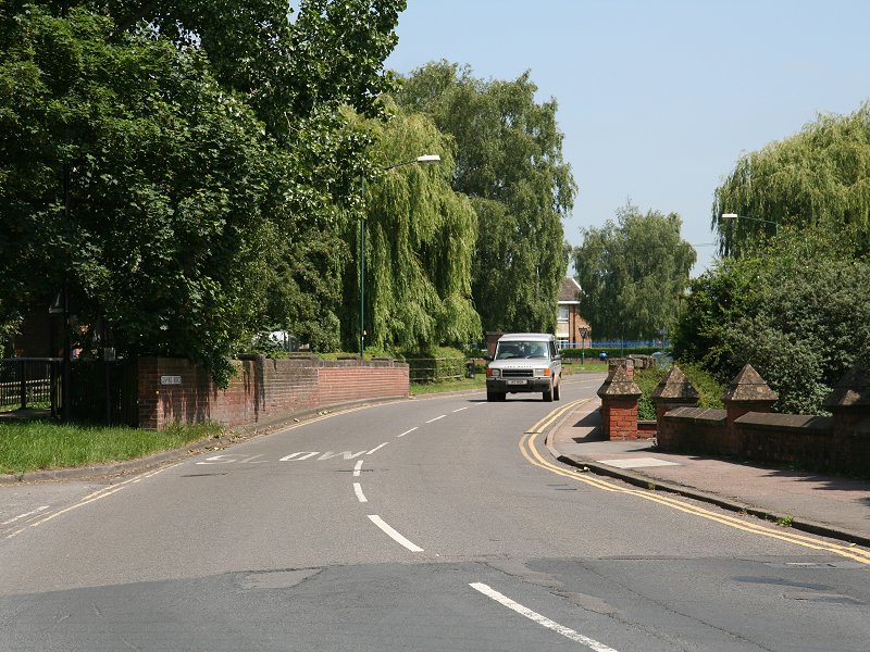
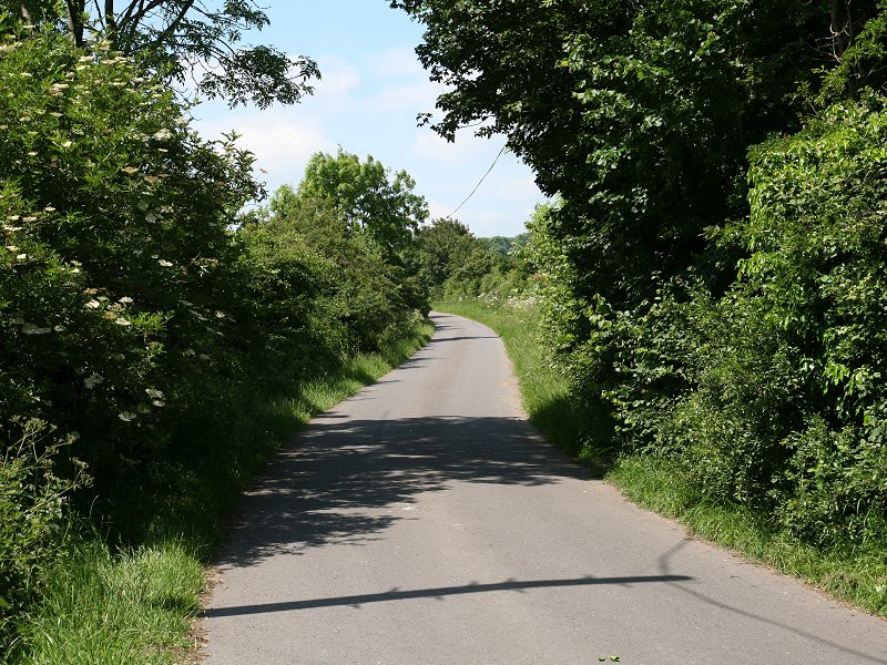
The road out of Alcester
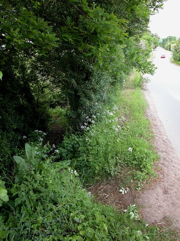
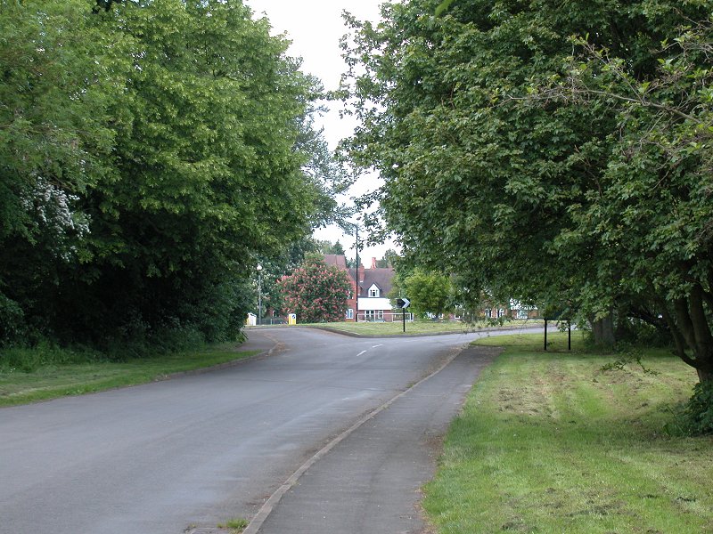
When the B4089 turns off to the left,
ignore it and go
straight
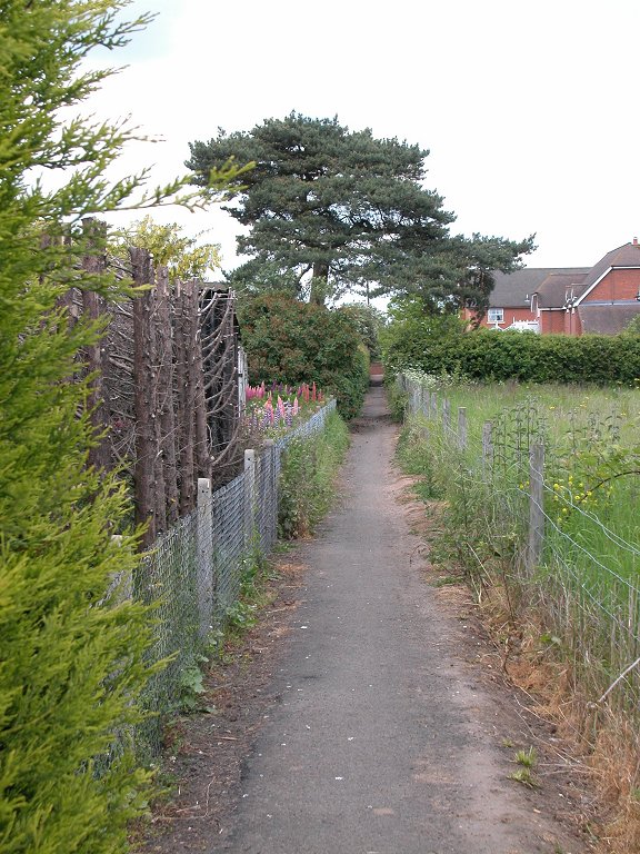
on. Shortly afterwards look for the narrow footpath to the left (third
image above) which
takes
the Way northwards out of Alcester. The path leads through through a
copse
of trees and up to a trig pillar, at about 200 ft, sitting in the
middle
of a field. On the other side of the tiny hill is yet
another abandoned railway, this one a link which once connected the
Stratford
to Birmingham line with the Redditch to Cheltenham route, now also
defunct.
Alcester's industrial estate lays about three hundred yards to the
left,
but there is an uninterrupted view of open country ahead and to the
right.
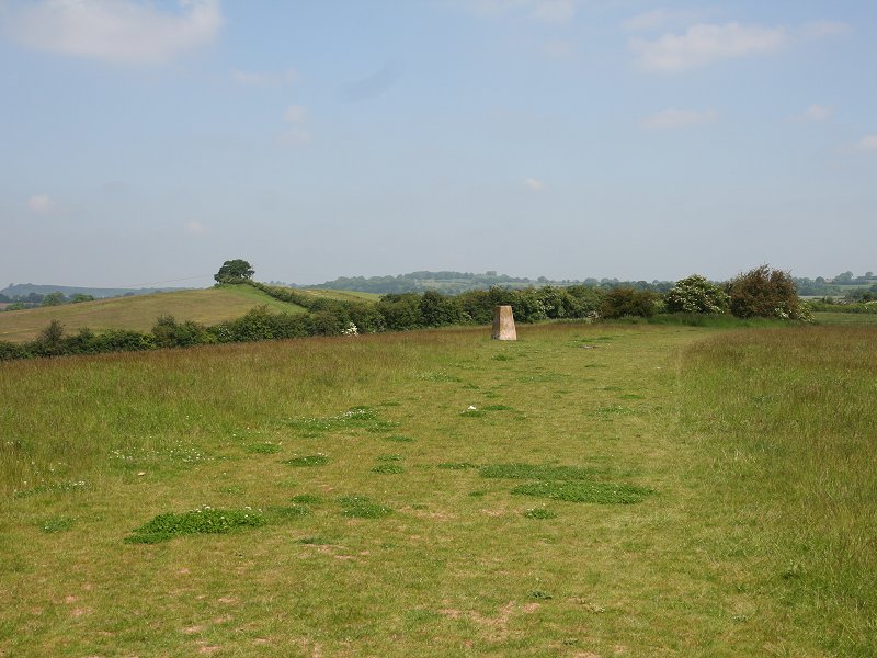
Copse and trig pilar

The route, view left to the industrial estate,
view right
Abandoned railway
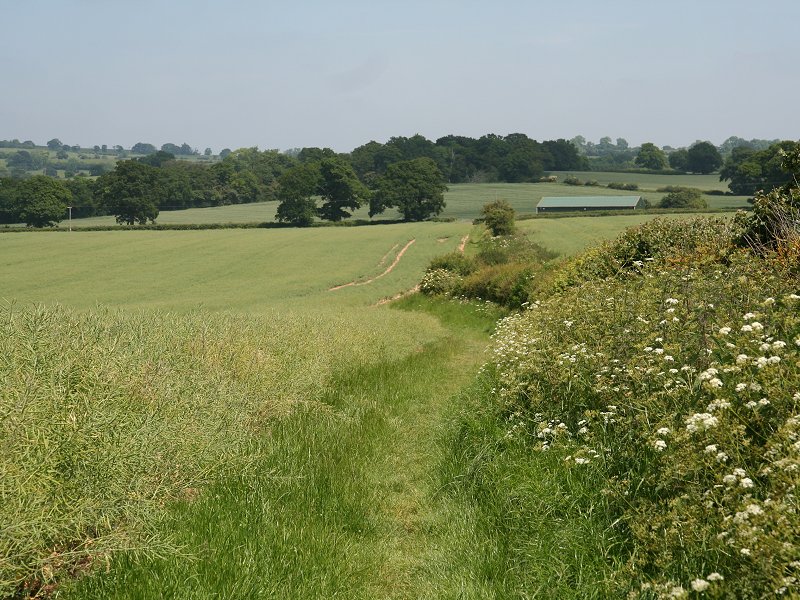
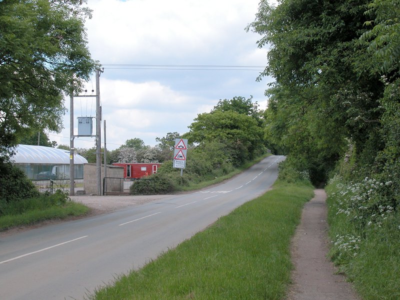
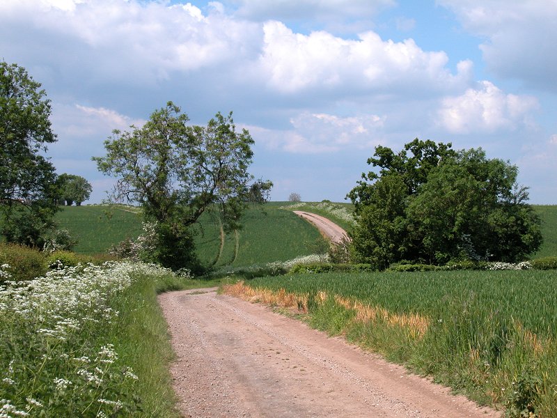
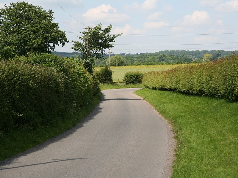
The route from Coughton Fields Lane to Spernal Lane

Approaching Spernal Lane
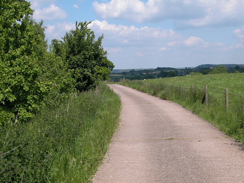
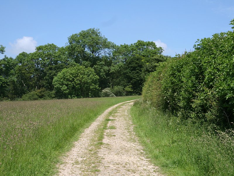
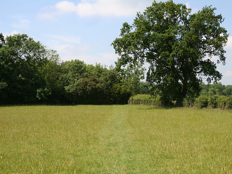
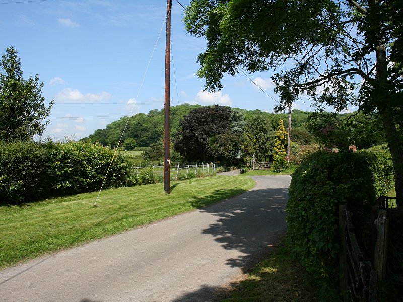
Another uphill stretch greets us beyond the road, for which the Way adopts the driveway to Dinglewell Farm. Don't miss the bifurcation which takes the Way up and across a pasture to the left. At the top of the pasture the Way meets a minor road and follows it for some 250 metres to the north west before dodging into a farm track to the right.
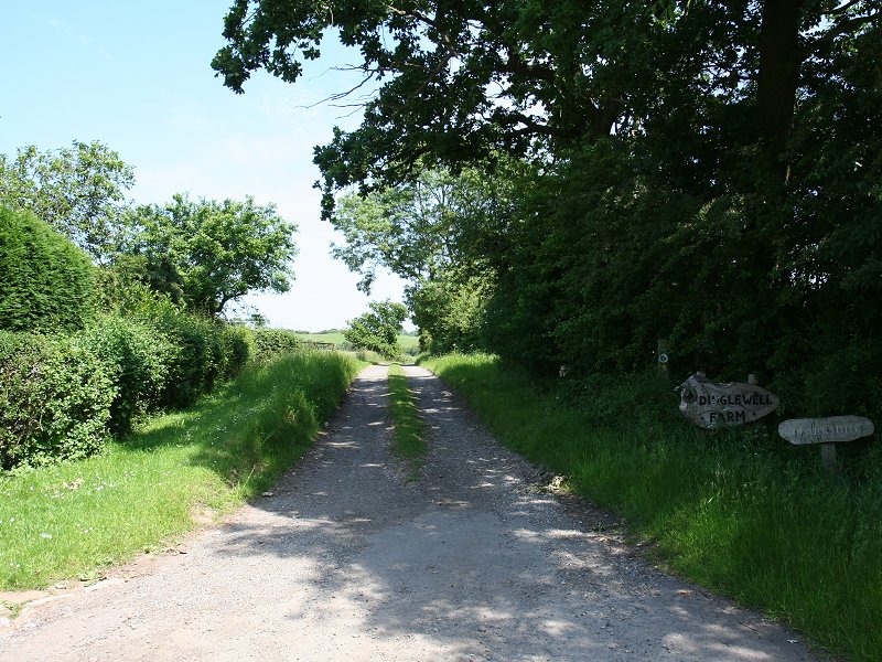
The Dinglewell Farm driveway
The route around Dinglewell Farm
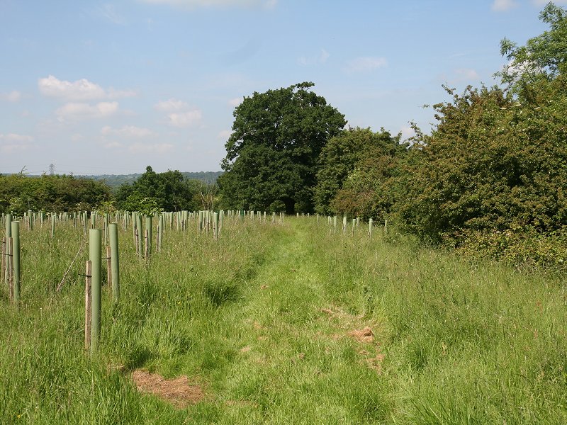
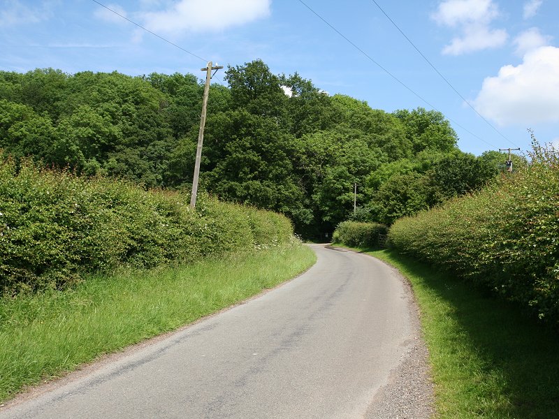
The lane to Alne Wood
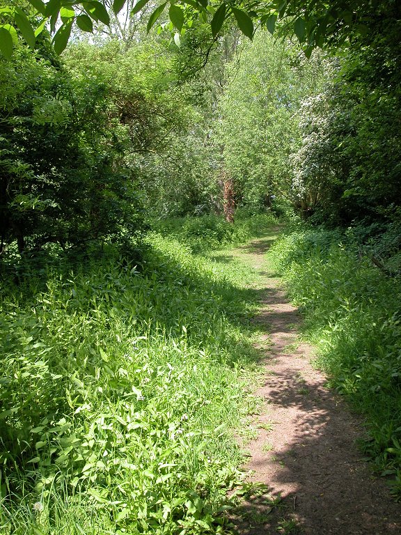
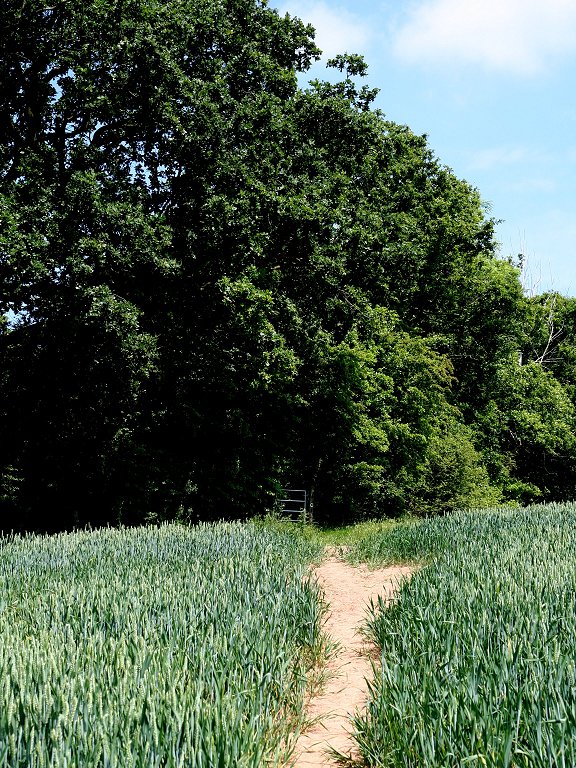
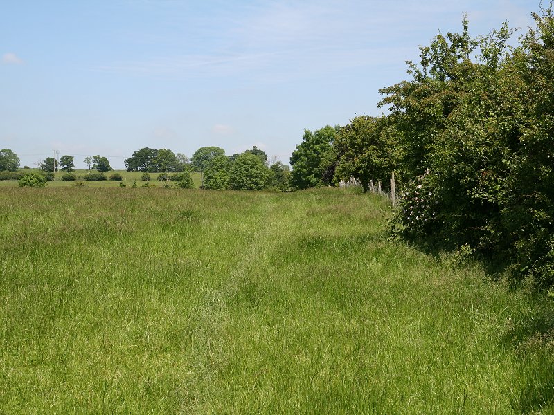
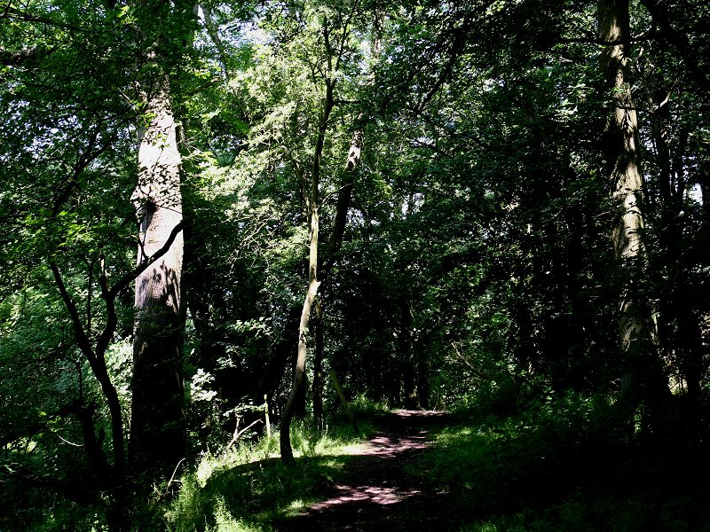
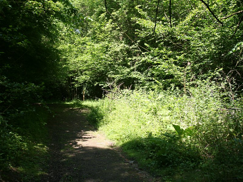
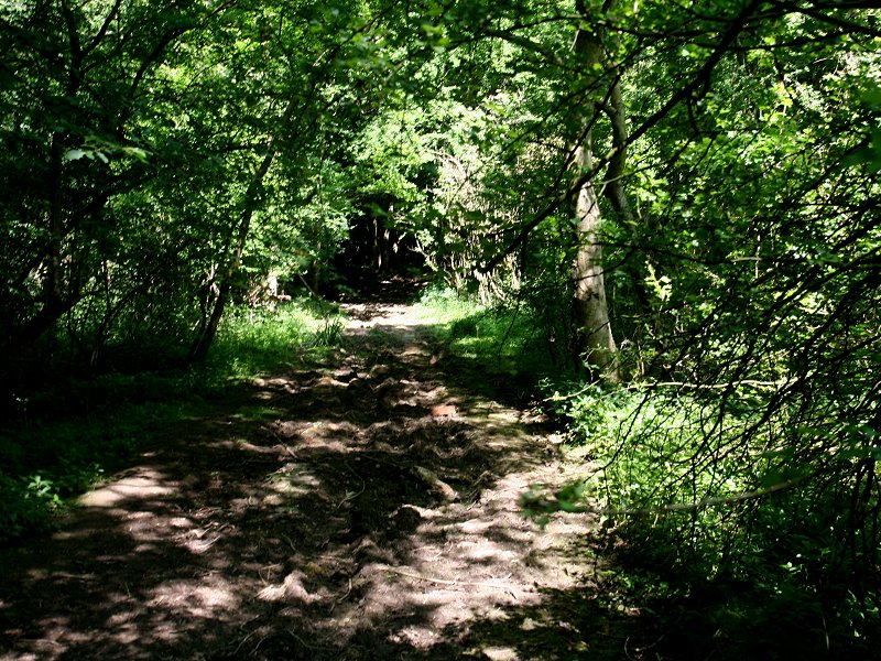
This track climbs fairly briskly up Lodge Hill and approaches Alne Wood to the left, or west. Walk alongside the wood. At the far corner the route passes a motley collection of sheds and then enters the short stretch of Burnet Brake before hugging the side of the rather larger Newslands Wood.
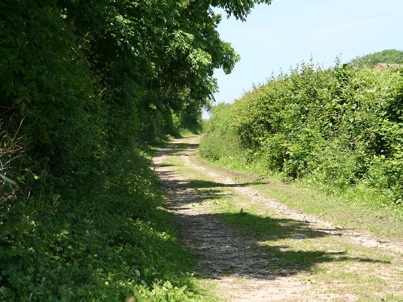
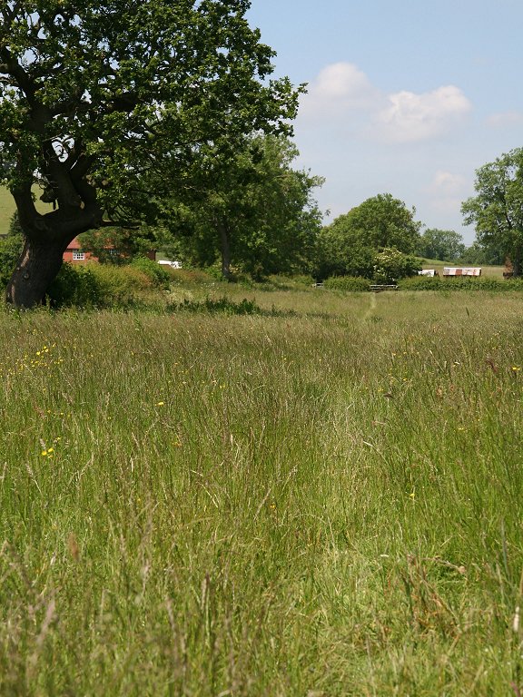
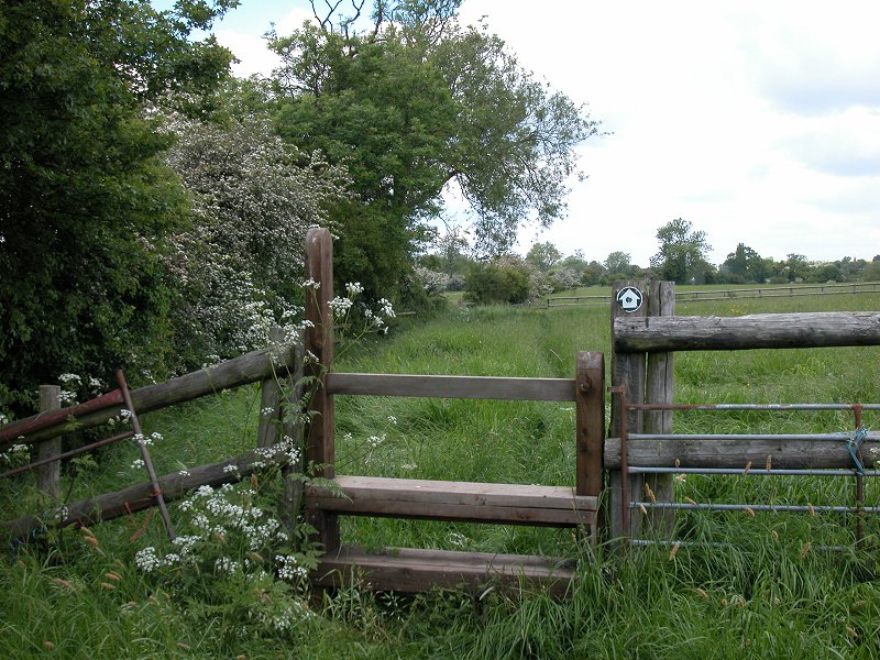
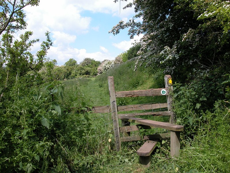
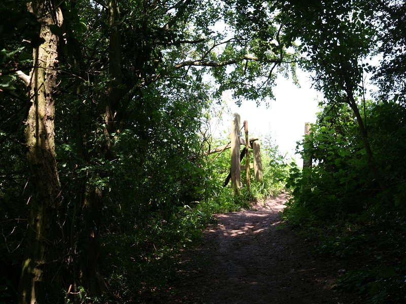
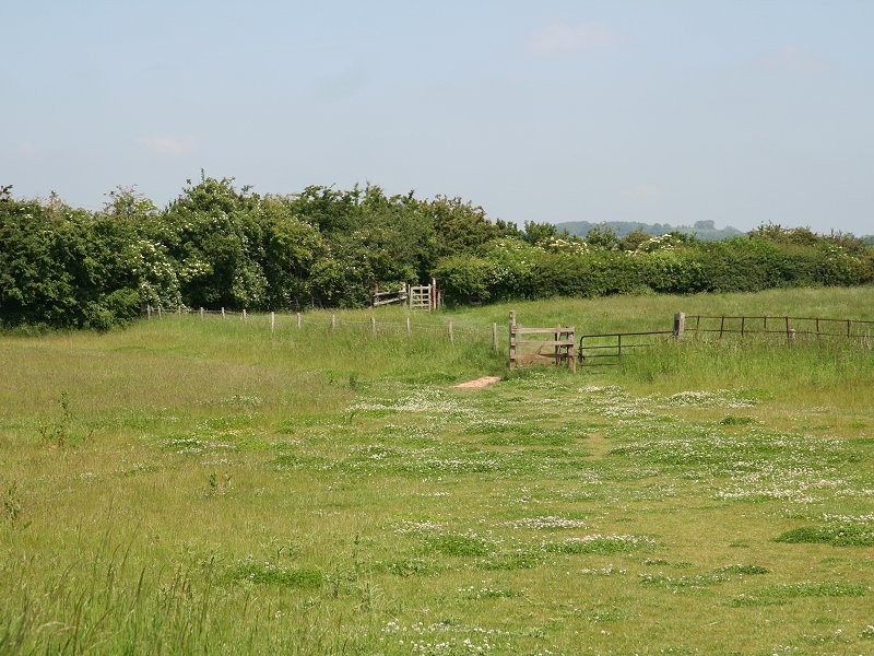
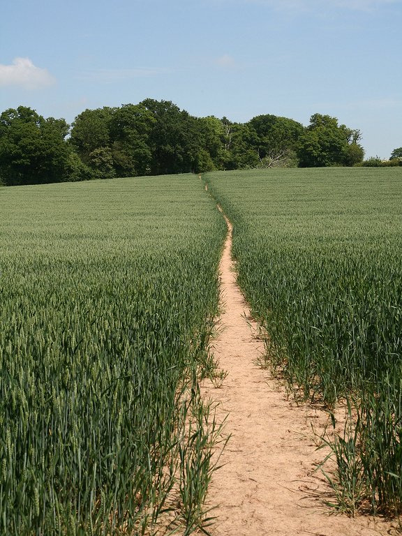
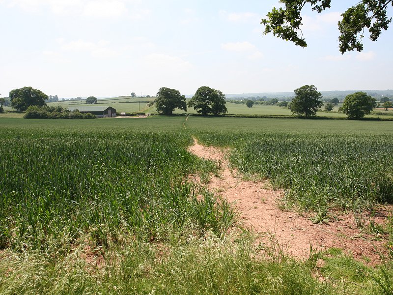
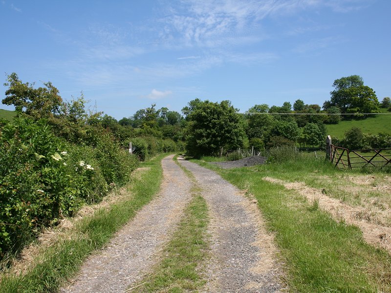
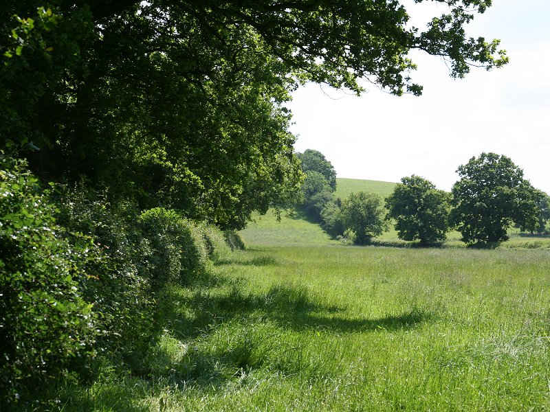
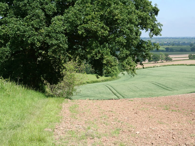
Beyond this wood is a rather confusing section of intersecting field boundaries at which it's easy to go the wrong way. Cross the stile and then go half left, ignoring the footpath onwards to Tut's Cottage and the road. Your route crosses a pasture (third image first row above) and then hugs the eastern side of a field boundary to approach Burford Lane Farm.
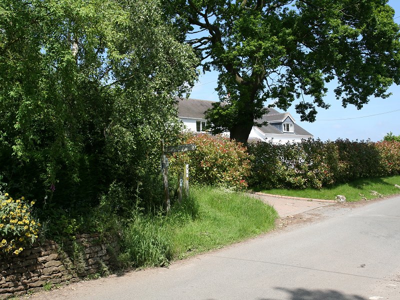
Burford Lane Farm
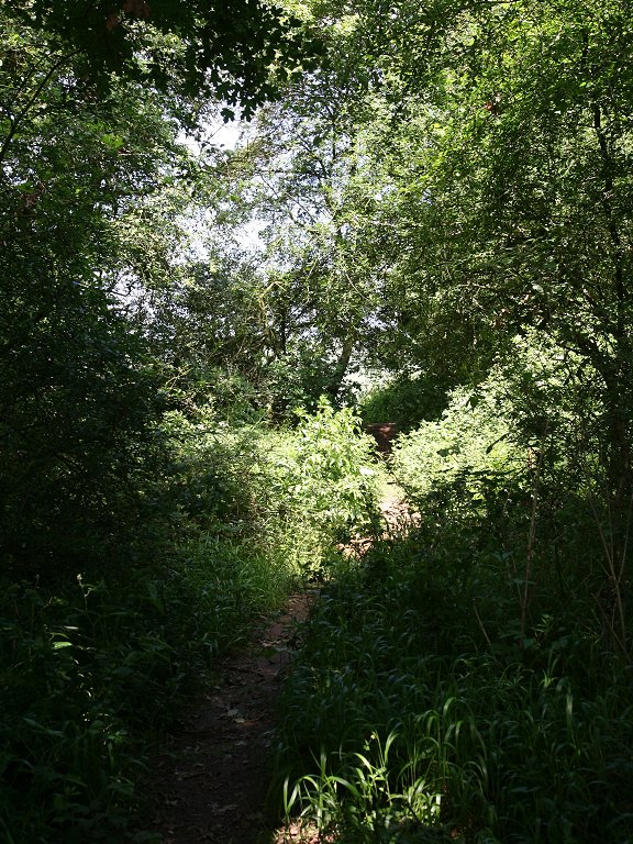
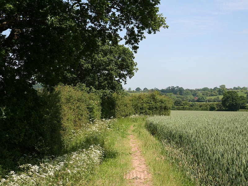
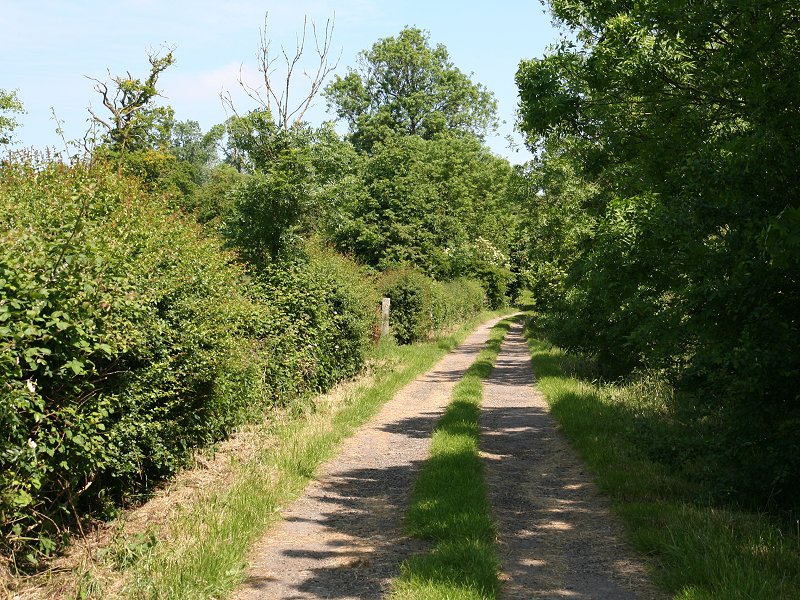
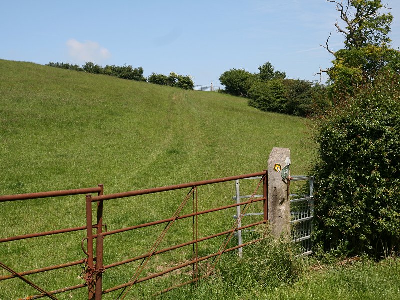
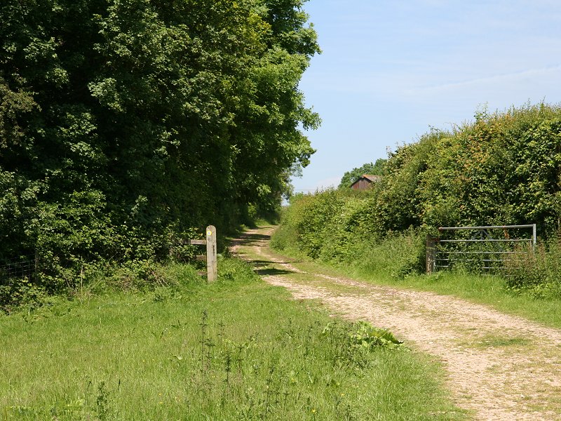
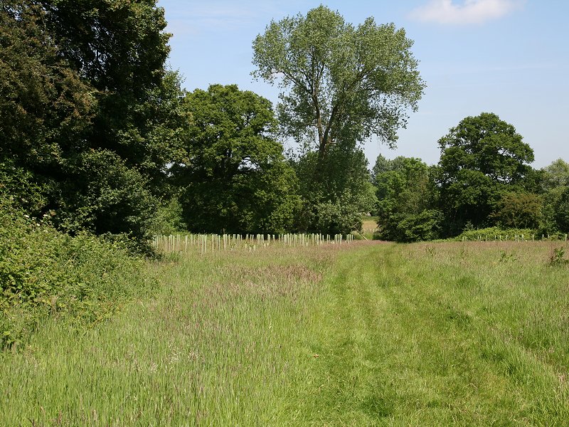
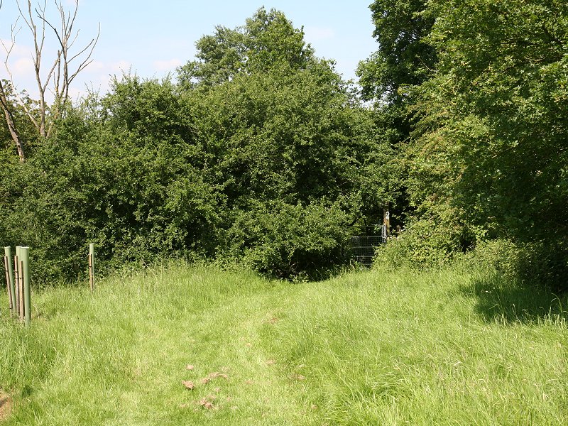
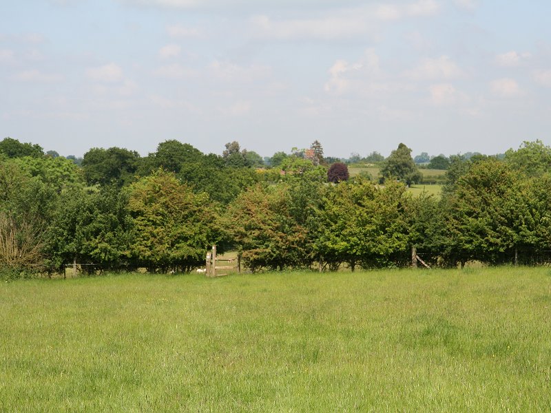
Burford Lane Farm turns out to be a pretty little locality comprising several cottages. Turn right and walk up to the nearby junction then take the footpath to the left (third image above). Ahead and to the left is the aptly named Round Hill, an abrupt and shapely knott of about 450 ft. The Way avoids Round Hill to the right, or east. A narrow lane which the path once followed is overgrown and choked with debris, so instead follow the boundary of the pasture on the Round Hill side. There now follows a succession of pastures and stiles as the path approaches the large plantation of Spernall Park Wood. A discreet Heart Of England waymark directs you to a minor path running parallel across an open field.
The HOE passing Round Hill
The route just to the east of Round Hill

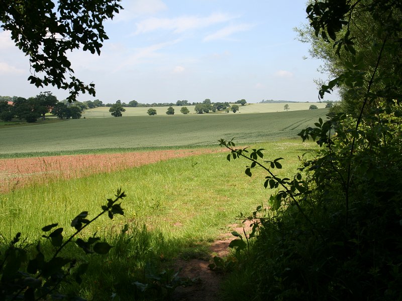
Field crossings near Spernall Park Wood; note the
heavy clay soil
The soil hereabouts is heavy clay and this
section could well be
murder
during or immediately after rain. Beyond the field is a grassy pasture,
then another small wood through which the path goes steeply downhill.
It
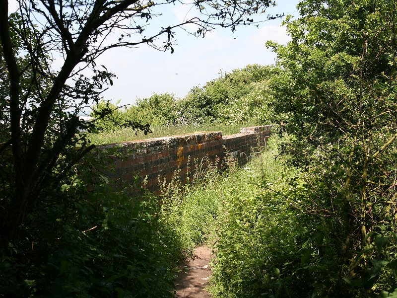
comes
into the open again at a footbridge over a stream (second image ,
second row below). Then it's uphill
once
more, across another pathless pasture, to reach the collection of
houses
clustered around Greenhill Farm. You come out onto a road, and the next
section involves walking this road, north and then east, to reach the
corner
of Bannam's Wood.
Bannam's Wood
The footpath enters the wood by a gate to
the left of High Fields
Farm.
The wood is very pleasant though most of the path through it is uphill
again, and the constant gradients can become a chore. The wood is quite
a big one, nearly three quarters of a mile in length, though for the
further
half of this distance the path runs alongside the fence just inside the
eastern edge of the wood.
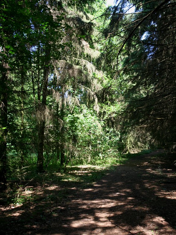

Bannam's Wood
Bannam's Wood
The far end of Bannam's Wood
At the point where you leave Bannam's Wood
the route is clearly
visible
for the next mile ahead, down to a road and up another hill. Hunger
Hill
is the last major hill between here and Henley-in-Arden, but there are
no signs of habitation. Follow the hedgerow down to the next country
road.
Descent to the road
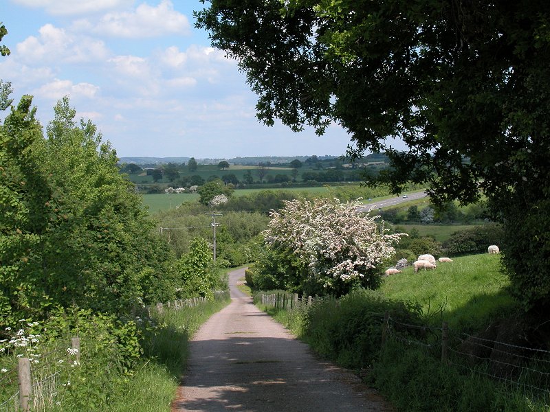
Beyond the road it's hedgerow walking
again, and the heavy clay soil
returns. The path is now ascending a nameless hill of around 300 ft in
altitude. As the path climbs upwards the crops gave way to grazed
pasture
and you will find yourself on pathless grass once more, picking your
way
through groups of sheep and lambs as you search for the next stile on
the
far side.

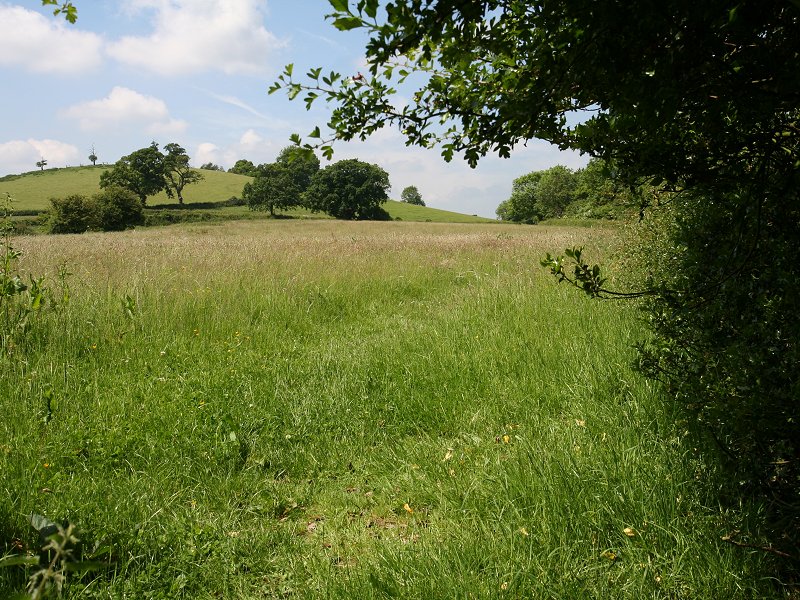
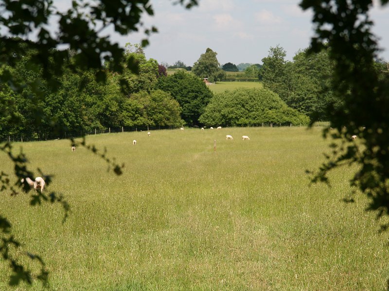
Field paths, Oldberrow
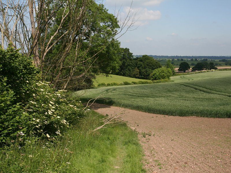
Once you cross the stile at
the top of the hill (middle picture, first row above) you can see the
next few hundred metres of route, crossing another huge pasture
downhill to a line of trees concealing a brook. Henley-in-Arden is now
only a mile and a half away but it is hidden behine Hunger Hill,
directly ahead.
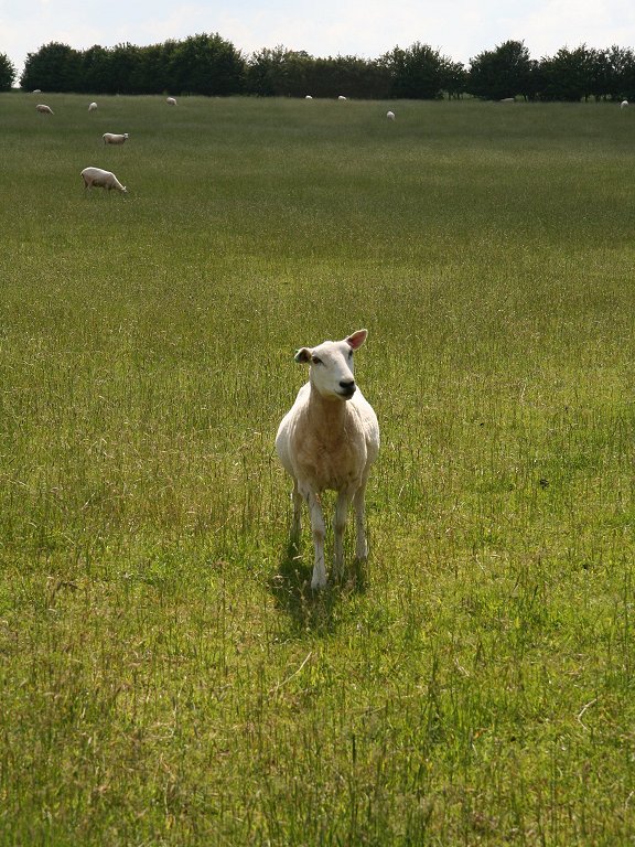
Field paths, and a local resident
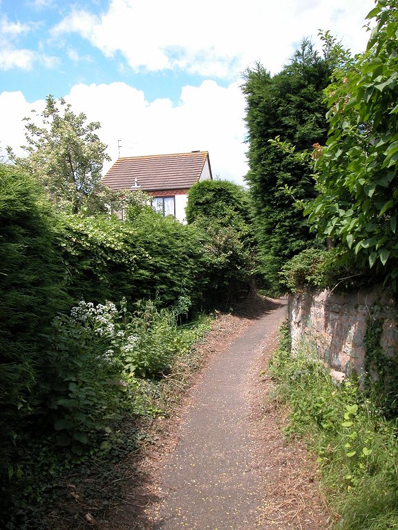
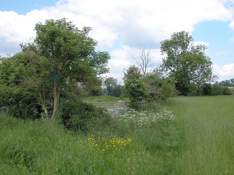
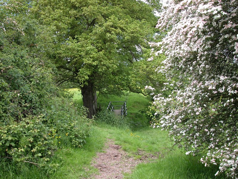
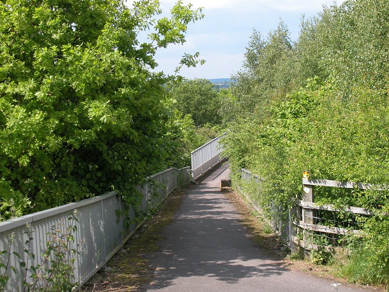
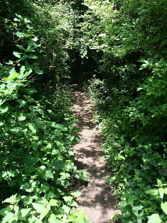
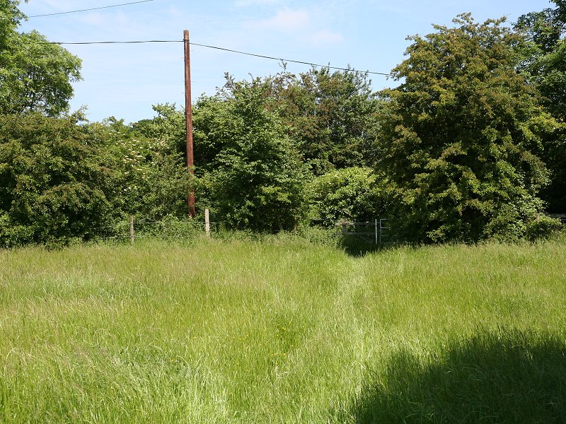
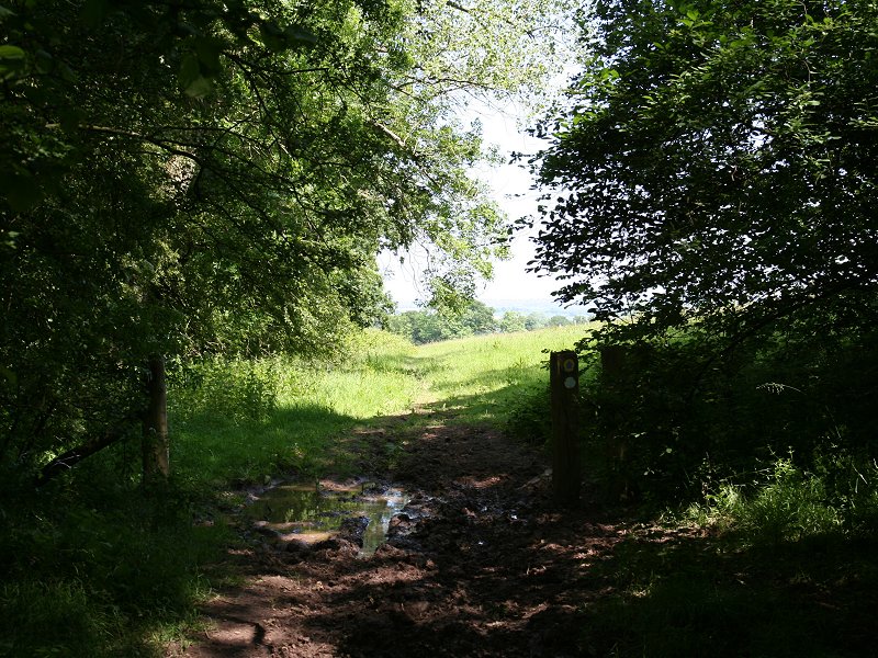
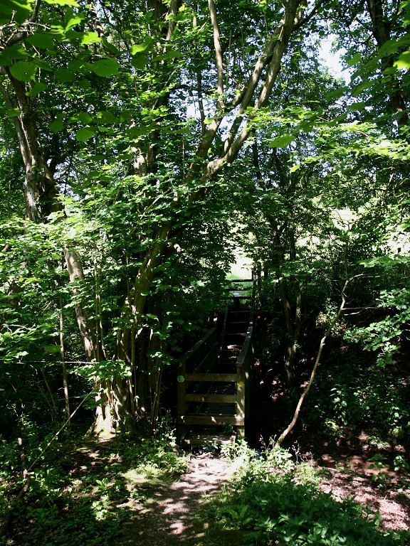
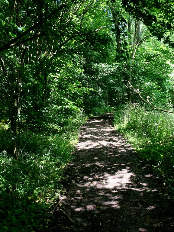
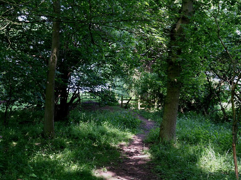
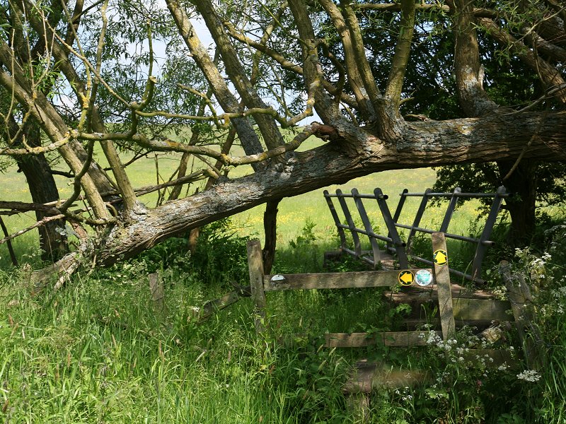
Follow the path (which may or may not be obvious on the ground depending on the time of year) to a little gap in the trees (first image above) and cross the footbridge over the brook.
Bridge across brook

|
£6.00
inclusive
of postage / packing. |
| Chipping Campden to Bidford-on-Avon | Back to Heart of England Way index | Henley-in-Arden to Berkswell |
This page last updated 25th November 2007
![]()