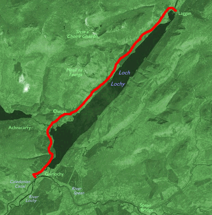
The Walk
This second section of the Great Glen Way lays
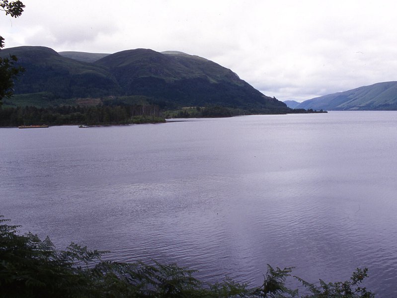
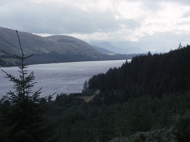
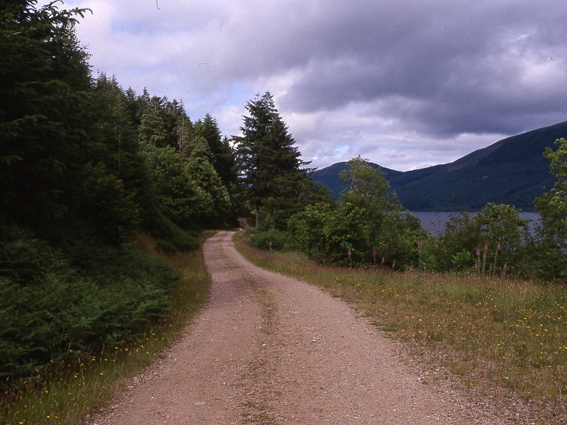
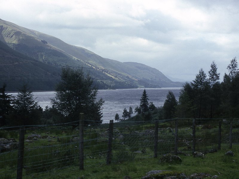
entirely along the northern shore of Loch Lochy. Roughly a quarter of
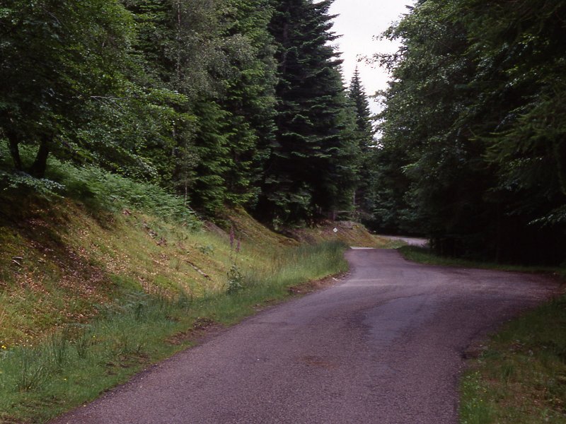
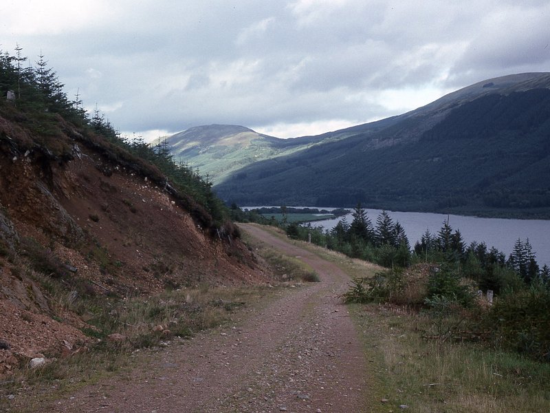
the distance, as far as Clunes, is on road; the remainder of the walk
makes use of forestry tracks. The walk is coincident with the Great
Glen cycle route so expect to meet plenty of cycle traffic, but
fortunately the motor traffic on the Gairlocy to Clunes section is very
light.
There's an upper and lower (lochside) track through the South Laggan
forest. The Way is ultimately meant to follow the upper route but it is
not yet continuous, so for now it's necessary to follow the lower
route. To be honest there's little to choose between them, apart
perhaps from a slightlu superior view from the upper track. It's also
mooted that there will eventually be a lakeside path between Gairlochy
and Clunes, avoiding the road walk. There is no accommodation along
this section and virtually no opportunity for camping, except possibly
at Bunarkaig. There's a youth hostel at Laggan, a mile or so beyond the
end of the day's walk. The seasonal tea room at Gairlochy, and the Scot
II (a former pleasure boat now permanently moored at Laggan and
operating as a tearoom and pub) offer the only opportunities for
refreshment, and there are no shops of any kind. The regular Fort
William- Inverness bus route passes Laggan Locks , but there's no
public transport to Gairlochy so to get there it's necessary to walk
the two miles from the commando monument up on the main A82. This makes
the day quite a long one so check the bus times carefully before
setting out.
|
Walk Statistics:
|
| Length: |
11.4 miles / 18.4
km |
| Total
ascent: |
986 ft / 300 m |
| Total
descent: |
981 ft / 299 m |
| Estimated
time: |
3 hrs 48 mins
|
Map: OS 1:25000 Explorer 400 (Loch Lochy & Glen Roy)
Click
on
any thumbnail image in this gallery to display the corresponding full
size
image. The images are access protected through a cgi script to prevent
hotlinking. If you encounter problems while trying to view the full
size
images, please read the access advice
page.
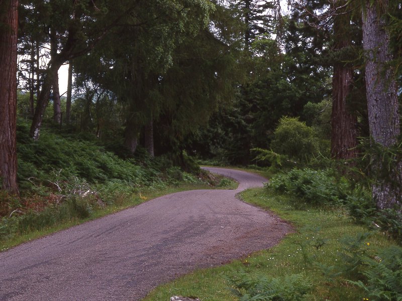
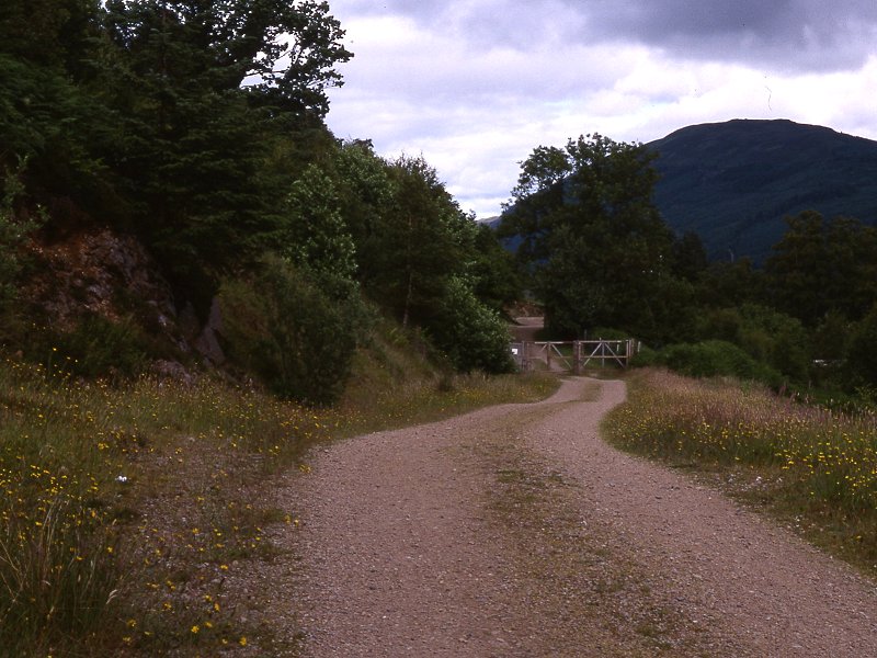
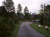
Gairlochy
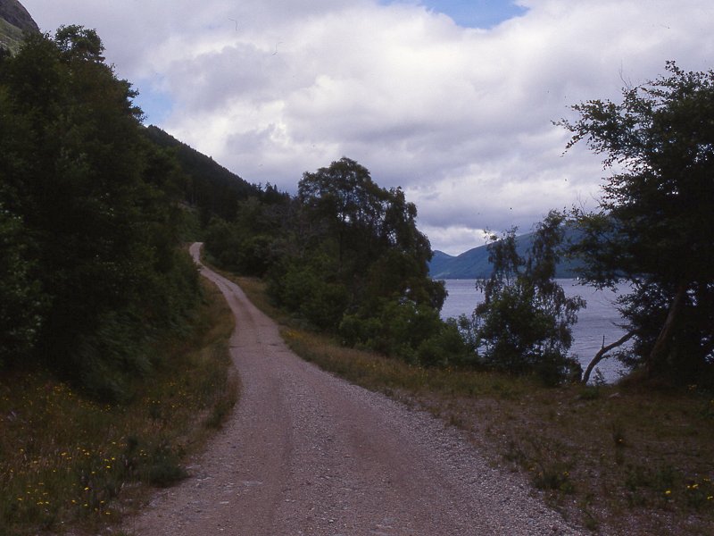
Bunarkaig
Clunes
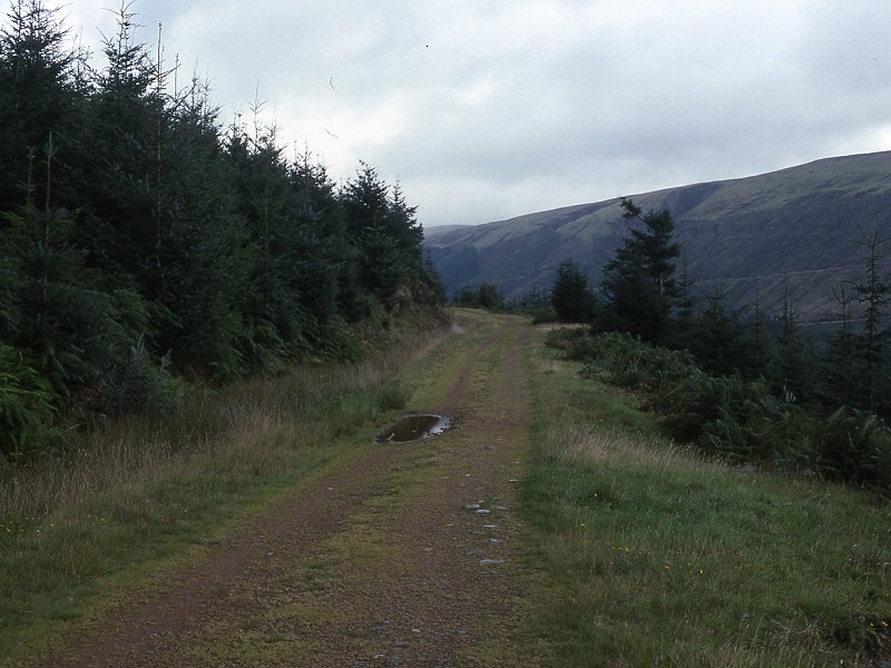
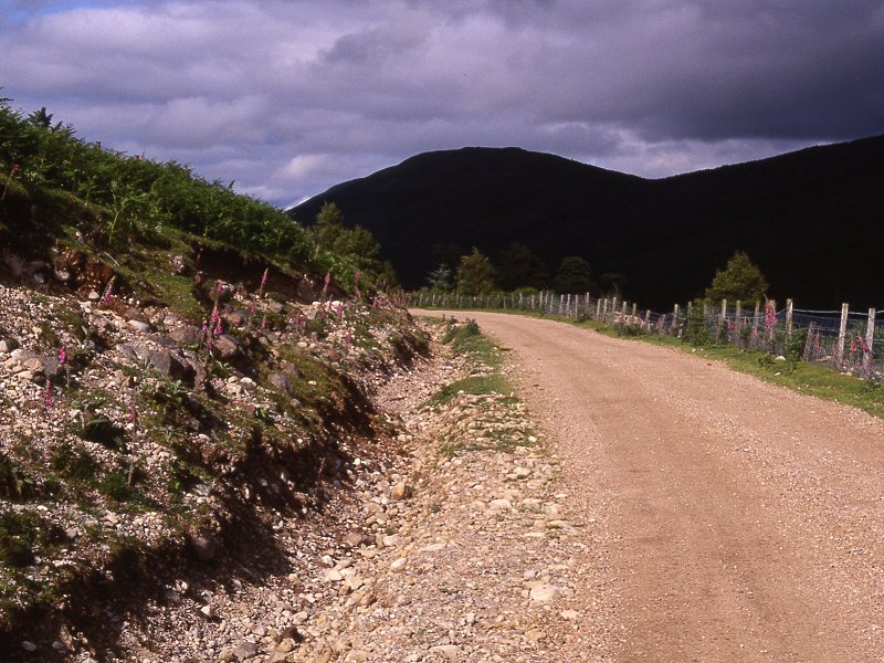
Clunes Forest
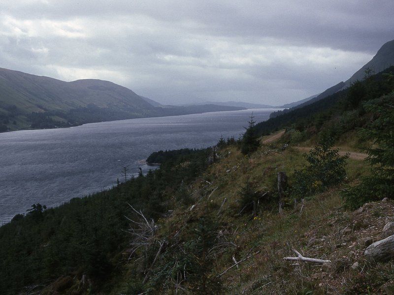
South Laggan Forest
Kilfinnan
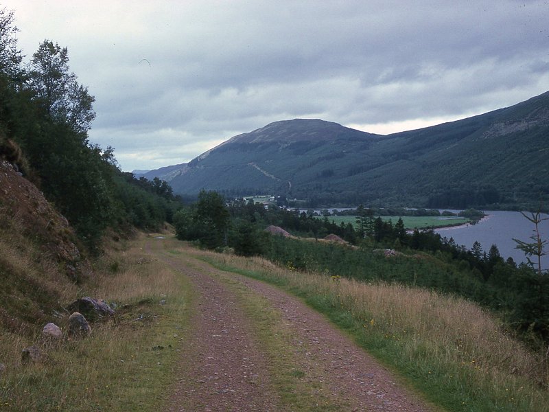
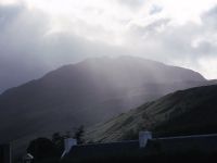
The characteristic dome of the Creag nan Gobhar,
which stands above Laggan to the south, draws ever nearer and you
should now be able to spot the boats drawn up at the northeast end of
the loch not far ahead. The upper and lower routes converge and shortly
afterwards the trees suddenly open out to reveal a world of pastures,
fences and gates, plus a scattering of cottages. This is Kilfinnan.
Laggan Locks
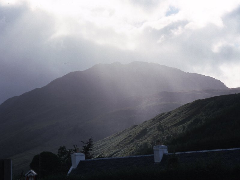
 Track to Laggan Locks; Ben Tee
The road you just left runs out through North Laggan
to the main road at Loch Oich a couple of miles further on, but here we
cross the locks to reach the main road direct, at South Laggan. The
locks here raise boat traffic to the level of the short stretch of the
Caledonian Canal joining Loch Lochy to Loch Oich; laying as it does
across the watershed, it's the highest level of the canal. You'll see
plenty of boats moored here. Just east of the locks on the south side
is the permanent mooring place of the Scot II, one of the boats that
used to operate pleasure cruises up and down the Caledonian Canal. The
Scott II is now one of the few refreshment opportunities along the
canal, operating as both a tearoom and a pub.
A short track runs from the boat moorings out to the main A82, where
you'll find a bus stop. The Fort William - Fort Augustus - Inverness
bus calls here but be sure to check the times before you start out.
Youth hostellers and bed-and-breakfasters will want to walk on a little
to South Laggan, about half a mile along the road to the northeast.
 Citylink
bus times Fort
William - Inverness (.pdf document)
Citylink
bus times Fort
William - Inverness (.pdf document)
This page last updated 26th March 2006