| Kinlochleven to Fort William | Back to Great Glen Way index | Gairlochy to Laggan |
| Kinlochleven to Fort William | Back to Great Glen Way index | Gairlochy to Laggan |
|
|
|
| Length: | 10.5 miles / 16.9 km |
| Total ascent: | 354 ft / 108 m |
| Total descent: | 261 ft / 79 m |
| Estimated time: | 3 hrs 13 mins |
Maps: OS 1:25000 Explorers 392 and 400 (Ben Nevis & Ft William, Loch Lochy & Glen Roy)
Click
on
any thumbnail image in this gallery to display the corresponding full
size
image. The images are access protected through a cgi script to prevent
hotlinking. If you encounter problems while trying to view the full
size
images, please read the access advice
page.


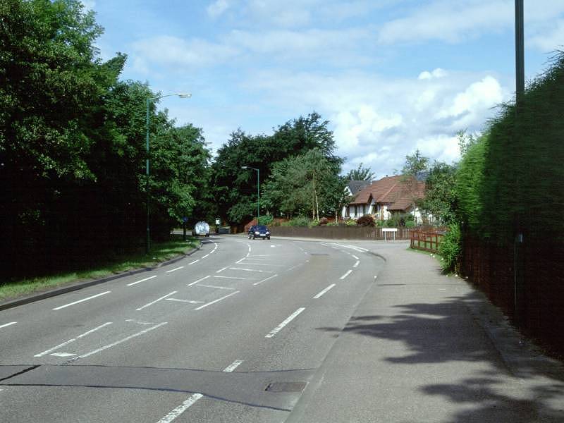
First GGW sign; path behind Travel Inn; bridge across Water of Nevis
![]() Citylink
bus times Fort
William - Inverness (.pdf document)
Citylink
bus times Fort
William - Inverness (.pdf document)
![]() Citylink
bus times Glasgow-Ft
William (.pdf document).
Citylink
bus times Glasgow-Ft
William (.pdf document).
![]() Train
times to Fort William (.pdf document)
Train
times to Fort William (.pdf document)
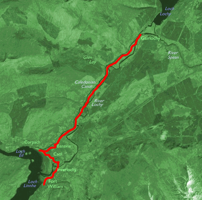
There seems to be some doubt about the exact starting point of the Great Glen Way. A sign on the west side of Fort William's railway station points, helpfully, straight into a hedge (beyond which is the Safeway car park, first picture above). If you make your way around the car park to the west, in the direction of Macdonalds and the Travel Inn, you will find a second sign that points along a surfaced footpath running behind the hotel. This is the way to go, and behind you (on the other side of the roundabout) is the site of the original barracks from which Fort William is named, and on which a Great Glen Way information board can be found. This, then, would appear to be the closest thing to an official start point. You're about 700 metres south of the end of the West Highland Way at this point, and purists wishing to link the two paths together will probably feel obliged to cover the intervening distance along Belford Road, though it would actually be more straightforward to stroll through Inverlochy rather than walk into Fort William and out again. We'll assume that if and when you did complete the West Highland Way you strolled into the centre of Fort William anyway.
From the official start of the Great Glen Way walk along the path behind the Travel Inn, passing an earth bank on the western side of a sports field, and dogleg through a small but very smart residential estate. Once you cross the Water of Nevis by the bridge in the third picture above, you're in Inverlochy.

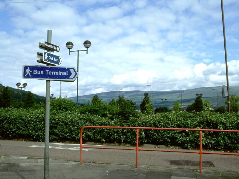
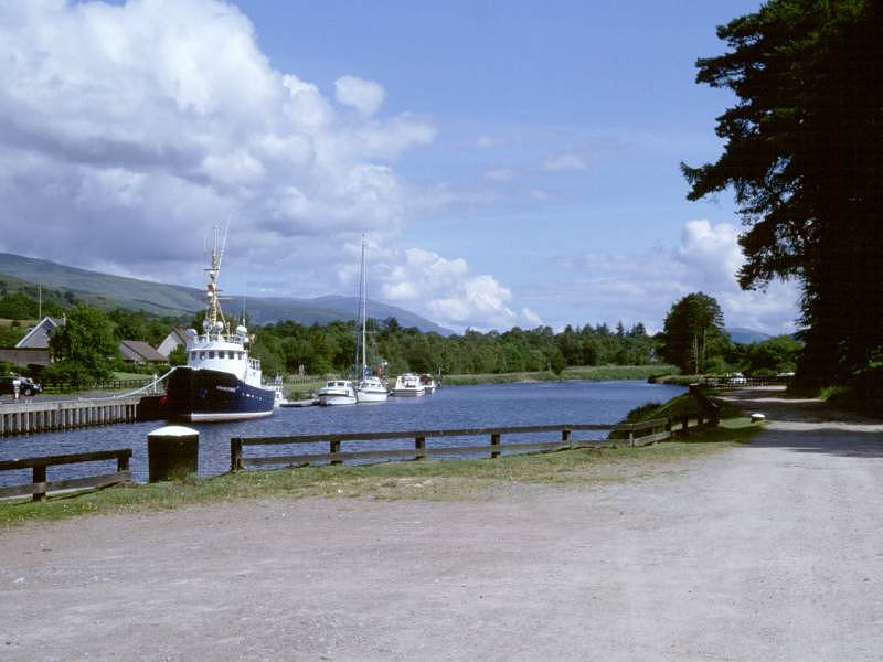
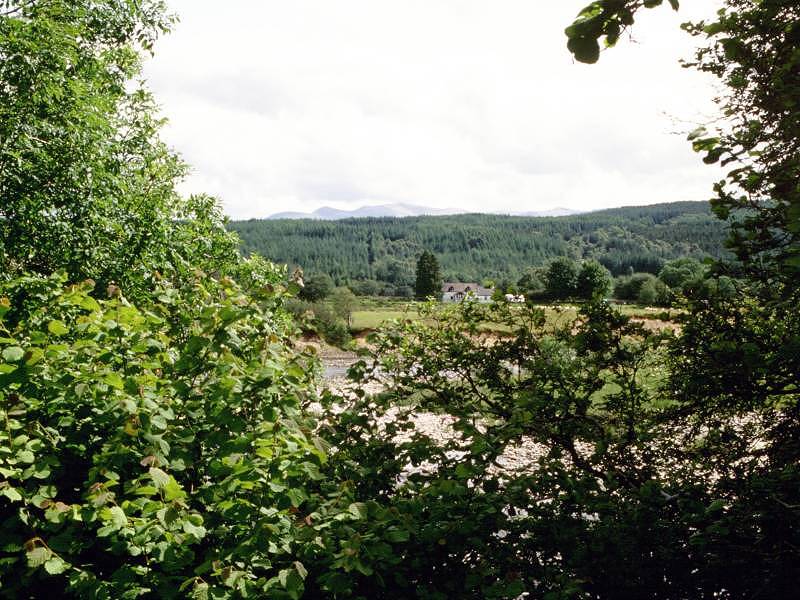
The outlet of the River Lochy
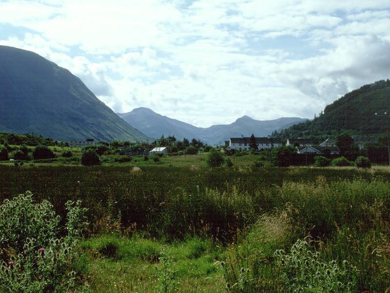
A mere handful of years ago you would have had to walk through Inverlochy itself, which is really little more than a rather drab housing estate, but the GGW follows a newly constructed path around the edge of the village, through an area of mixed scrub and woodland. You'll see the commencement of the path immediately beyond the bridge across Nevis Water. Within 100 metres the path comes to the edge of the River Lochy estuary, where the river wanders uncertainly into Loch Linnhe. A long tongue of low-lying scrub lies opposite, and slightly further along is a vaguely circular island of similar terrain. The Lochy empties into the angle formed by the meeting of Loch Linnhe and Loch Eil, both sea lochs; Loch Linnhe runs southwest and is a geographical continuation of the Great Glen, while Loch Eil runs westwards in the direction of Mallaig. Fort William's satellites of Inverlochy, Caol, Banavie and Corpach cluster around this elbow of sea lochs and we'll be hugging the coastline for some three miles.


The GGW beside Inverlochy
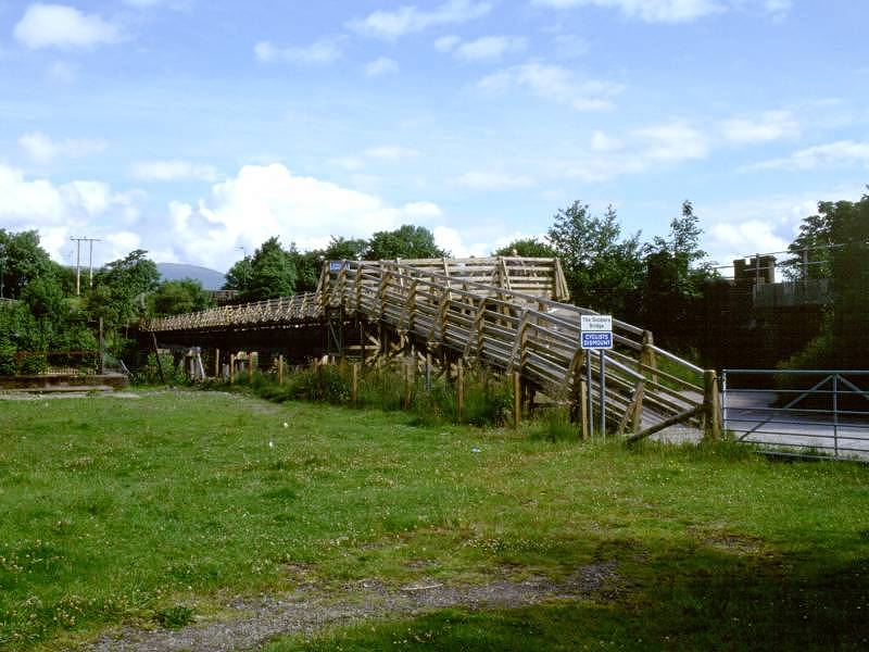
A view across into Glen Nevis, and two views of the Soldiers' Bridge
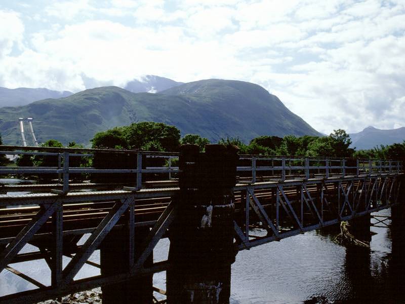
Follow the path, which skirts Inverlochy's back gardens to your right and never really wanders far from the scrubby banks of the Lochy estuary on your left. The point at which coastline becomes riverbank is rather indeterminate. Inverlochy village falls away to your right and the path now crosses an open area, on which a couple of sports grounds are laid out; the Fort William - Mallaig railway line runs along the far side. This area was apparently the site of the Battle of Inverlochy in 1645. Look to your right and you will see the massive bulk of Ben Nevis, and to its right there is a beautiful view down Glen Nevis to the shapely peaks of Sgurr a Mhaim and Stob Ban (the same Stob Ban we passed yesterday on the final leg of the West Highland Way). You'll not fail to spot the twin feeders of the Inverlochy aluminium works on the northern spur of Ben Nevis; these convey water that has come from Loch Treig through a tunnel, and which drives a hydroelectric plant that powers the smelting operations. You meet the water runoff at the far end of the sports field; it cascades into the Lochy at a fair lick through an artificial channel. Follow the path across the channel via a footbridge and then cross a small area of scrub, beyond which is the Soldiers' Bridge (christened as such because it was built by the Royal Engineers as an exercise) that takes you across the River Lochy into Caol. The Soldiers' Bridge runs adjacent to the handsome structure that carries the Fort William - Mallaig railway line across the river.
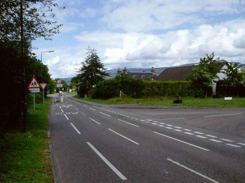
Residential roads in Caol
Caol - pronounced "Kyle", according to one of my guidebooks - is another of Fort William's residential outliers. Its eastern end, which you've just reached, is pretty smart but it does start to revert to mediocre council housing as you walk through it towards Banavie. The official GGW turns left at the far end of the Soldiers Bridge to take the loop road around the other side of the Lochy estuary, but in practice you have the choice of several routes. The least elegant, but most direct, involves a right turn from Soldiers Bridge out to the main Mallaig road, onto which you turn left and follow straight to Banavie Locks across Corpach Moss. This alternative has one other advantage; if you look directly behind you there is a glorious view of Ben Nevis's northern cliffs, among the most spectacular in the UK.


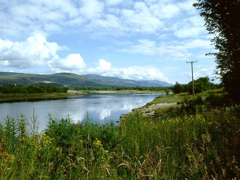
The official route of the Great Glen Way loops through Caol on the coast road, which gives occasional glances of water off to your left. The road first bends leftwards around the main channel of the River Lochy, then curves around to the right to pass through the main part of the village and, when it comes out at a small parade of shops (the last before Fort Augustus, incidentally), a GGW marker directs you to the left along a road of council housing towards the coastal sandbanks. Turn right and walk along the coast road. There's a slim grassy area to your left, beyond which you can look out across the sandbanks down the length of Loch Linnhe. Fort William is seen to the left. At the far end of the council estate the GGW continues as a gravel path (third picture above) which runs alongside a sports field towards the beginning of the Caledonian Canal at Corpach. The canal runs back along the other side of this field and the GGW is going to follow its towpath; you can therefore cut this corner out if you want but purists will wish to follow the path to the canal. There's a splendid view back towards Ben Nevis from the far corner of the sports field.

Approaching Corpach; Ben Nevis from the apex of the sports field

The gravel path peters out at the trees at the western end of the sports field. Find the footpath that climbs the bank beyond, and suddenly you find yourself on the footpath of the Caledonian Canal. Just to your left are Corpach Locks, at which point the canal exits to Loch Linnhe.
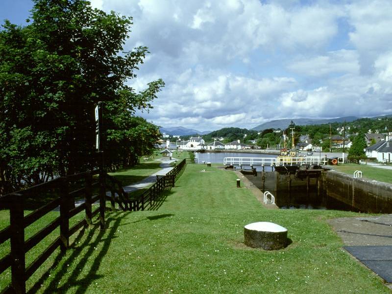
The Caledonian Canal was built by the early 19th century civil engineer Thomas Telford, a man responsible for a remarkable number of Britain's roads, canals and bridges. It took around 20 years to construct and was opened in 1822. It appears that its use as a freight corridor was limited as cargo ships were continually getting bigger, and the newer ones were unable to navigate the 14ft depth of the canal. Even though it was deepened in the 1840's, improving road and rail links were superseding it. Its use dwindled and it was obsolete as a freight route by 1906. The canal was never a commercial success. Pleasure craft, however, have been plying the canal since the 1840's. Nowadays it is operated by British Waterways and is estimated to carry upwards of 5,000 craft per year.
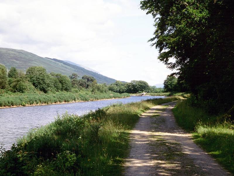
The canal towpath is initially followed eastwards away from Corpach Locks, after which it curves gracefully around to the left, passing Caol, to approach the swing bridge at Banavie about 1200m upstream from Corpach.
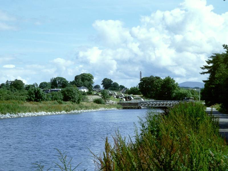
As you approach Banavie be sure to follow the GGW sign off to the right about 100m short of the bridge, because there is no through route at the bridge itself. The canal is crossed by two swing bridges here, one carrying the Mallaig railway, and one carrying the A830 main road. Banavie railway station is just to the right of the canal, and the GGW bypasses it by a road to the right. If you chose the direct option of the main road walk from Soldiers Bridge, then you'll rejoin the route here. Walk back towards the canal on the pavement and then turn right onto the towpath. A sign tells you that Gairlochy is six miles distant though by my reckoning it's probably nearer seven miles.
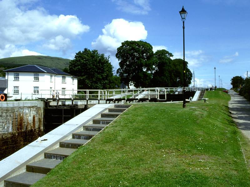
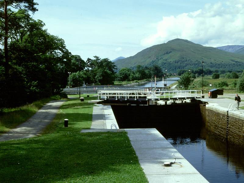
The Caledonian Canal at Banavie locks
Immediately upstream from the swing bridges is a flight of eight locks that raises the canal by 64 ft. It's fascinating to linger here and watch the locks being worked. The gates are automatic so there's no need to lend a hand, even though you often find yourself itching to do so. Even though the gates and sluices are automated, it takes well over an hour to get through all eight locks. Banavie's eight lock flight is popularly known as "Neptune's Staircase", though it's by no means the only flight of locks in the UK to be so named (just as there are several Jacob's Ladders).
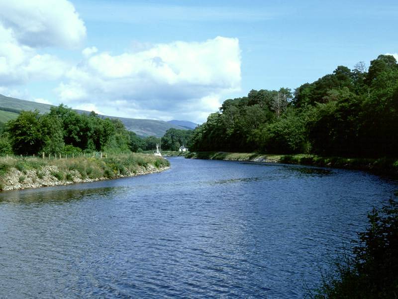
Carn Mor Dearg and Ben Nevis; the canal northeast of Banavie
Rural scenes, Torcastle
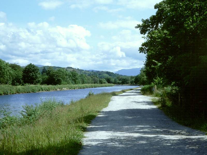
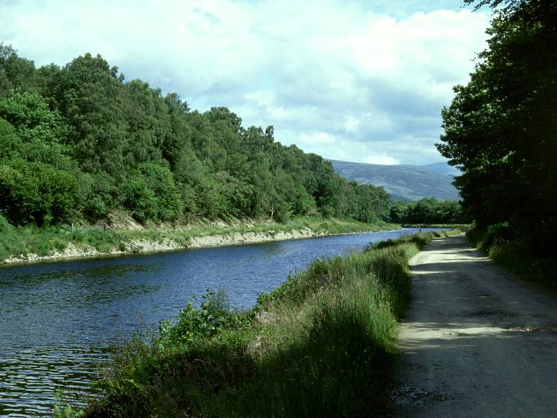
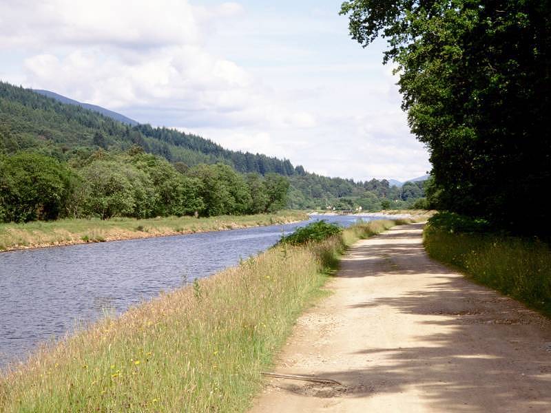
As you leave Banavie to the northeast along the canal towpath, the scene becomes increasingly rural. For a short while the towpath doubles as a vehicular access to the few cottages strung out along the canalside, but eventually it reverts to a cycle path - albeit a good, wide one. The River Lochy draws alongside to the right, and you realise that you are now walking along a long, narrow island - a thin neck of land between canal and river. Unsurprisingly, there is little access other than the canal towpath itself and it's quite surprising to find the odd cottage tucked into occasional clearings to the side.
The Caledonian Canal, Torcastle
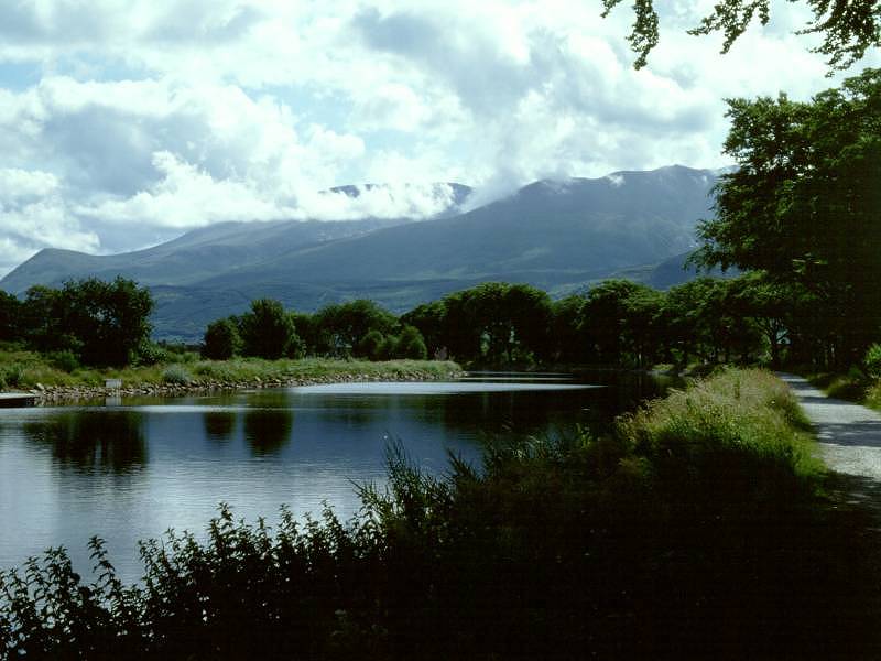
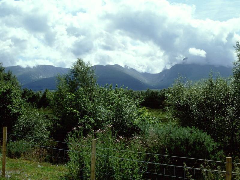
There's a screen of vegetation to the right of the towpath that does rather shut out the views of Ben Nevis and its neighbours to the east, Carn Mor Dearg and Aonach Mor - a great pity, as these three peaks all exceed four thousand feet in elevation and are among the ten highest in Britain. Aonach Beag, another member of the 4000ft club, lies behind Aonach Mor and is not visible from our route.
The Caledonian Canal; Aonach Mor, Carn Mor Dearg and Ben Nevis
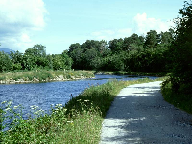
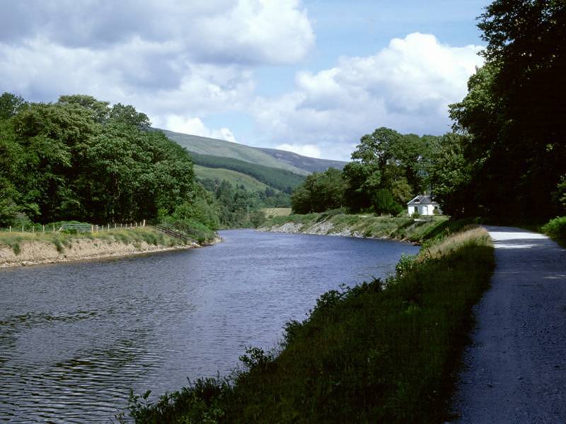
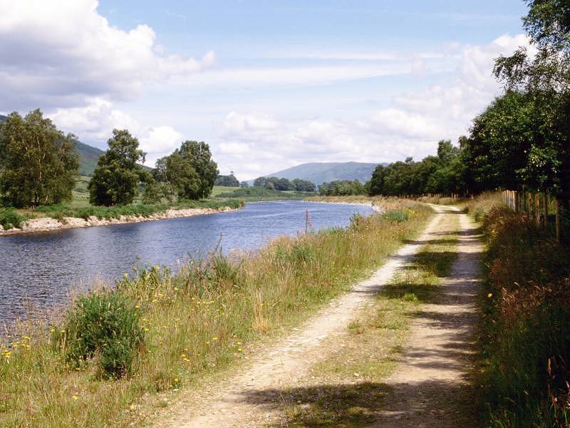
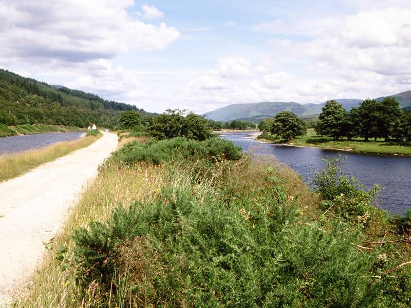
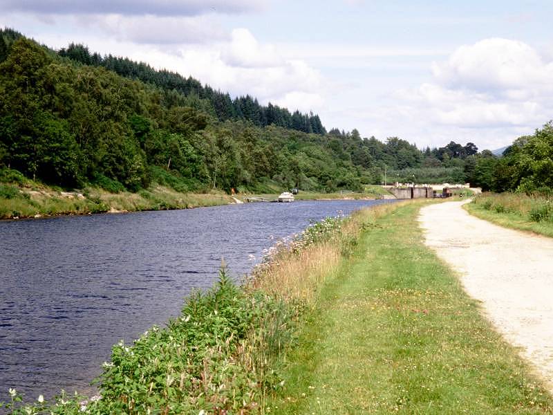
The canal continues to meander pleasantly, revealing ever changing views as you progress. Unseen from the towpath itself are a number of engineering feats, including several overbridges and viaducts that span access tracks and side streams draining into the Lochy. The B8004 Banavie to Gairlochy road shadows the canal on the left hand side and you will occasionally see the odd vehicle.
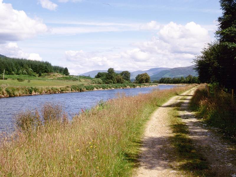
The Caledonian Canal at Glen Loy
Loy Bridge is very roughly half way between Banavie and Gairlochy. There's very little here - the River Loy, emerging from the wooded glen that bears its name, is bridged both by the road and the canal, and empties into the River Lochy some 400m to the right. Glen Loy figures in the legends of Bonnie Prince Charlie, who made his way along it after landing at Glenfinnan, some way to the west.
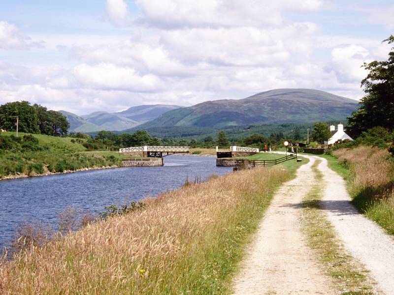
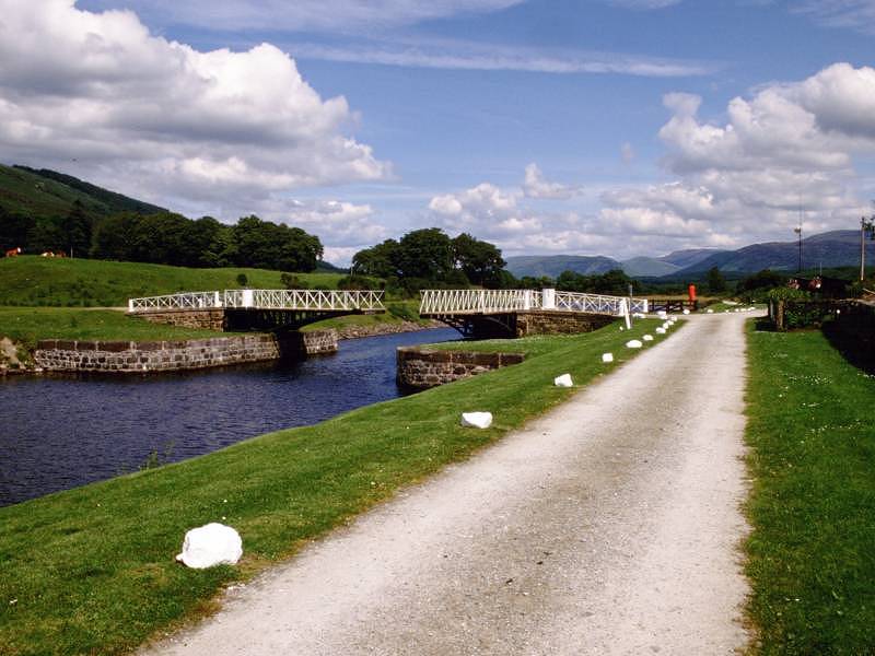
Moy Bridge
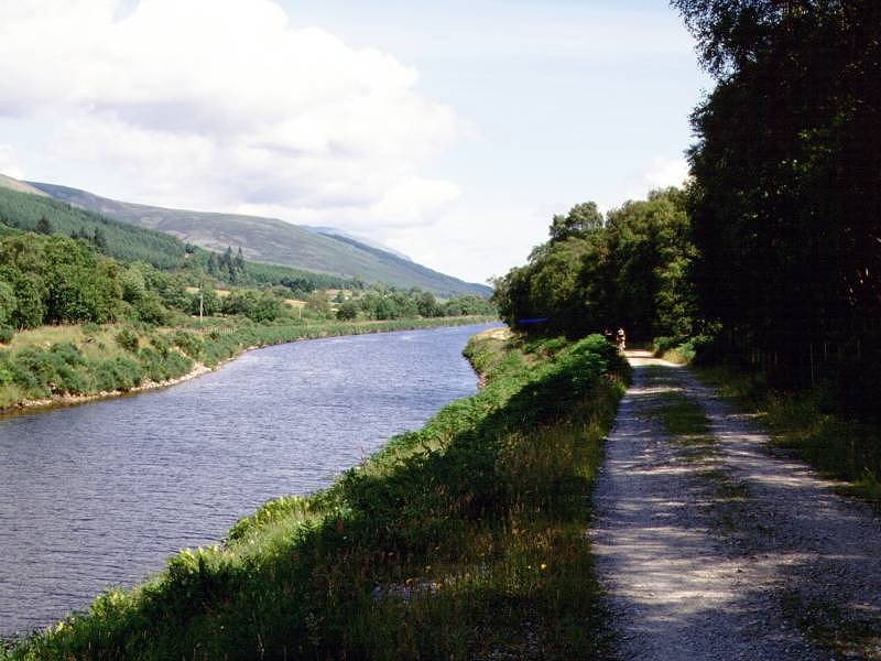
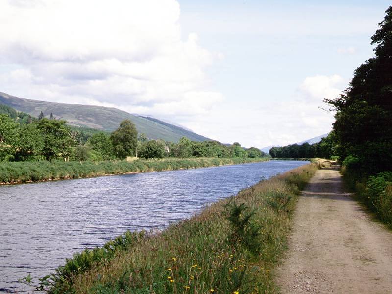
The canal and its towpath wind along in the same leisurely manner beyond Glen Loy. Roughly a mile further on we reach Moy Bridge, a double-leaf swing bridge that allows access to (or from) the tiny locality of Moy on the opposite bank. The bridge is otherwise very much like a lock, with its own keepers' cottage and a neat and well tended lawn that has twice served as a lunch stop when I have walked this stretch.
Approaching Gairlochy
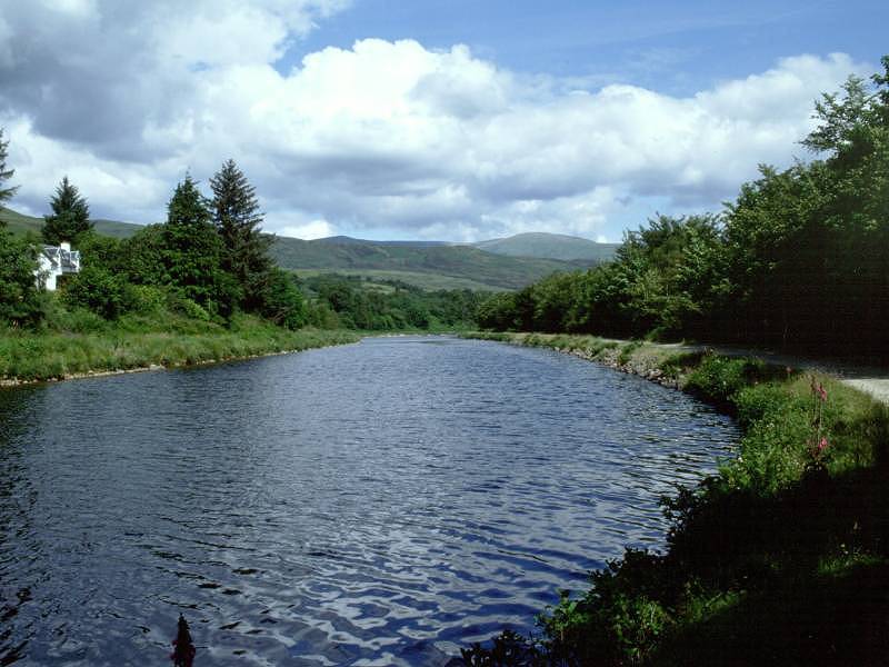
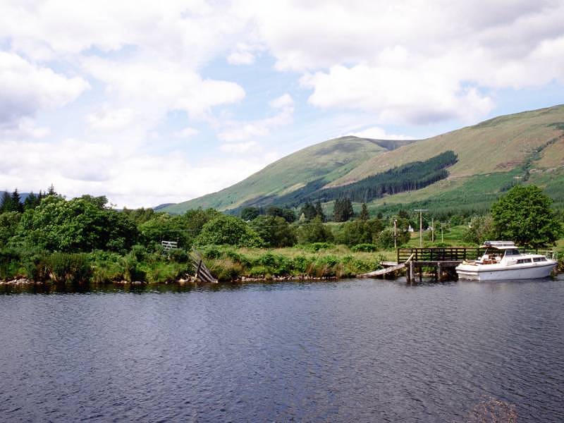
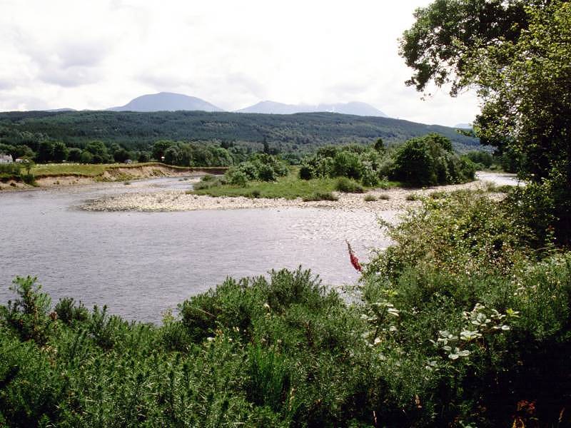
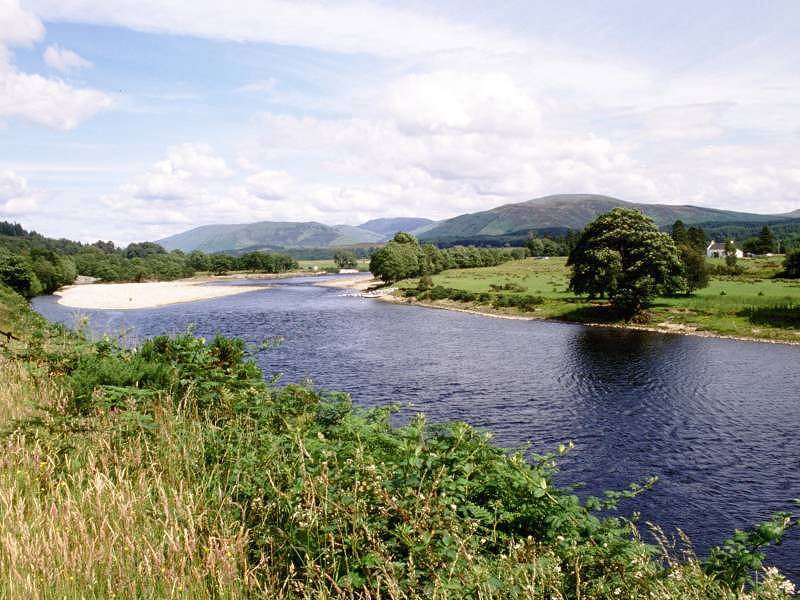
The canal continues north-eastwards beyond Moy Bridge, emerging after a further kilometre at a point where the river Lochy meanders very close to the right, and here is one of the better viewpoints for the mountain ranges to the southeast. The Grey Corries range, which sits beyond Spean Bridge, is well seen from here. Aonach Mor, Carn Mor Dearg and Ben Nevis lay to the right, beginning to slide behind us now. Not far ahead the river meanders off to the right again, and in fact it's properly the river Spean rather than the Lochy. Here, the canal follows the original course of the river, while the Lochy itself has been diverted into a new channel that feeds the Mucomir hydroelectric power station over to the right. As you draw level with the point at which the Lochy and Spean wander off to the right, Gairlochy locks come into view a few hundred metres ahead.
River Lochy below Gairlochy
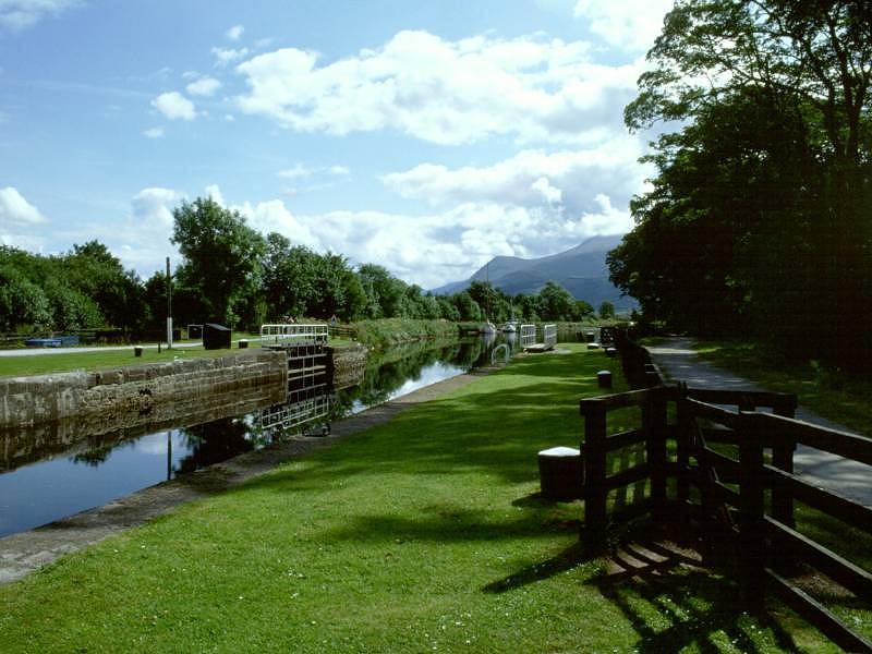
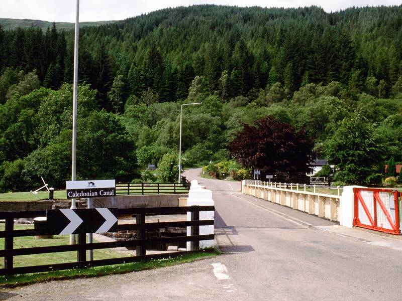
Gairlochy boasts two sets of locks that serve to raise the canal up to the elevation of Loch Lochy, unseen from here but only a further 800m to the northeast. The whole of tomorrow's journey will consist of the walk along its northwest shore, on road and forest track. Between the two locks is another swing bridge, which carries the B8004 across the canal. Across the bridge is the junction, hidden within tree cover, with the road off to Achnacarry and Loch Archaig. Gairlochy village, really nothing more than a tiny cluster of cottages and a farmhouse, lays to the right, but there is a welcome little seasonal tea shop here at the locks.
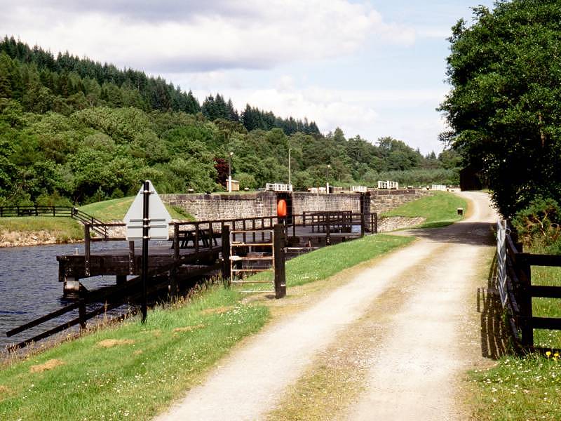
Approaching Gairlochy; Gairlochy lower lock
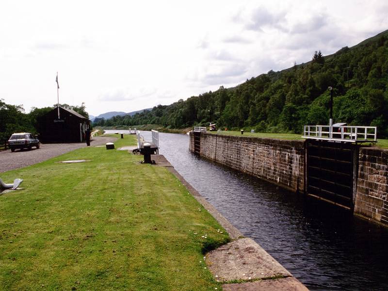
There used to be a bus service from Fort William to Achnacarry but sadly it no longer runs, and its timings were of little help anyway. You may find some B&B either here or at Achnacarry three miles further on, but don't count on it. There's no obvious place to camp, either. By far the best bet is to gird your loins and walk the three and a half miles along the B8004 to Spean Bridge, where there's adequate accommodation. Alternatively you can catch the train or the Citylink coach here. The coach route follows the A82, which you'll meet at the commando monument a mile short of Spean Bridge, but don't expect to be picked up here as there is nowhere for the bus to pull in. The A82 is a very busy road and the last mile down into Spean Bridge is unpleasant.
![]() Citylink
bus times Fort
William - Spean Bridge - Inverness (.pdf document)
Citylink
bus times Fort
William - Spean Bridge - Inverness (.pdf document)
![]() Train
times from Spean Bridge (.pdf document)
Train
times from Spean Bridge (.pdf document)
| Kinlochleven to Fort William | Back to Great Glen Way index | Gairlochy to Laggan |
This page last updated 26th March 2006
![]()