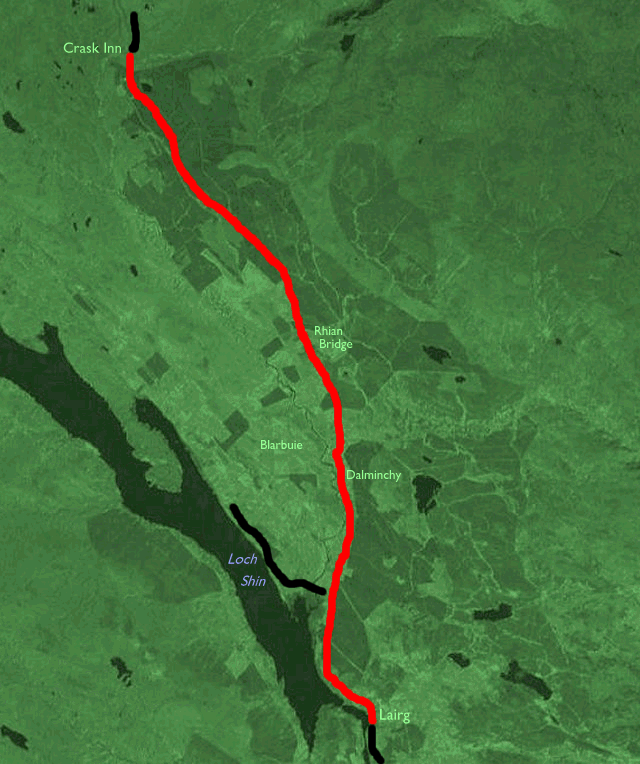
| Ardgay to Lairg | Back to North of Scotland Way index | Crask Inn to Kinbrace |
| Ardgay to Lairg | Back to North of Scotland Way index | Crask Inn to Kinbrace |
There is an alternative available for the adventurous, a track that heads off to the east into the fastnesses of Ben Armine forest and upper Strath Brora to Dalnessie Lodge (and then northwards to Loch Choire to rejoin the main route on the following day). This is a route for backpackers and bothy fans only, for the price of getting off the road is a route that's remote, long and arduous, and involves at least one unbridged river crossing. I don't recommend it but it's there if anyone wants to try it.
Maps: OS 1:25000 Explorers 441 (Lairg & Bonar Bridge) and 443 (Ben Klibreck and Ben Armine)
Click
on
any thumbnail image in this gallery to display the corresponding full
size
image. The images are access protected through a cgi script to prevent
hotlinking. If you encounter problems while trying to view the full
size
images, please read the access advice
page.
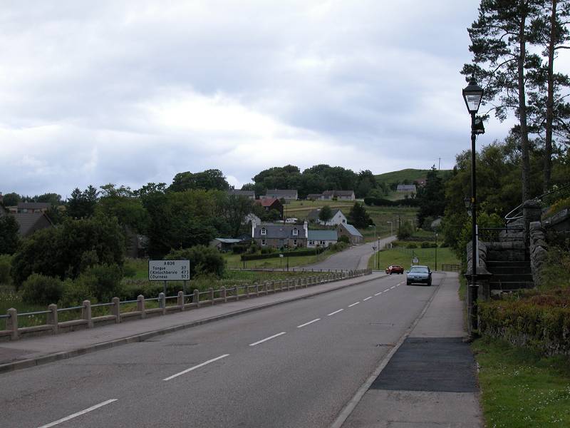
Leaving Lairg
Your route leaves Lairg by the trusty A836 to the north, alongside Little Loch Shin. Be aware that the Spar shop you pass after a minute or so is the last shop before Watten, 87 miles further on.
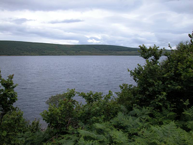
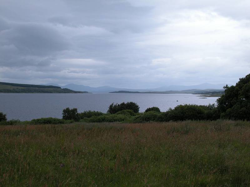
The A836 and Loch Shin
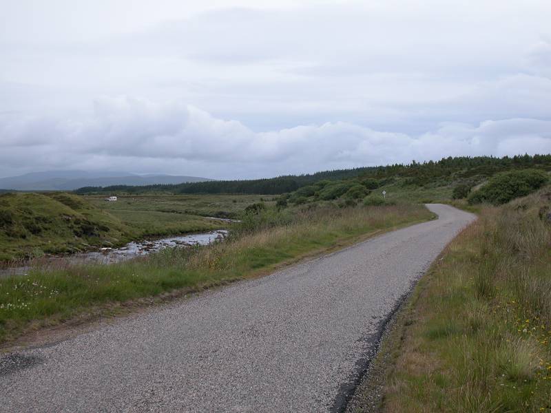
Lairg continues as a well scattered collection of cottages, farms and tiny lanes stretching some two or three miles in most directions from the village centre, though alongside Loch Shin it falls away relative quickly. There's a pavement (sidewalk if you're from the US) for a while but it peters out and you're left walking along the verge. Expect around five to six vehicles per minute along the road. The immediate environs are well screened by trees at first so you don't get to see the dam of Loch Shin proper - an advantage in my opinion as it's one of the least handsome dams in the Highlands. But there are several places from where you can get a decent view of the loch. It's nearly a mile wide on average and it stretches for around twenty miles up to the north west, though our route will run alongside it for only a couple of miles.
Approaching Dalchork
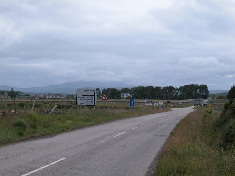
Dalchork is a locality rather than an actual village, but its chief feature is the road junction from which the A838 heads off to the left, to run alongside the greater part of Loch Shin before reaching the west coast at Laxford Bridge.
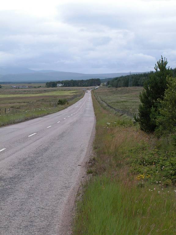
Our route continues along the A836 and here we say goodbye to Loch Shin. And it's here we say goodbye, also, to the world of lush green pastures. From here on the land visibly deteriorates, reverting surprisingly quickly to rough grassland, moorland and bog. Odd, misshapen mountains rise in isolated lumps on the skyline. Welcome to Sutherland in all its glory.
A couple of hundred meters beyond the road junction the road narrows to single track with passing places. The traffic dies down too. From here on expect an average of one vehicle per minute in each direction.
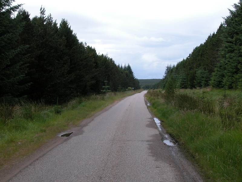
Single track road; a view of Ben Klibreck; the remote cottage of Blarbuie
It gets spectacularly lonely now. The lush vegetation quickly gives way to rough pasture and moorland, with forest plantations over to the east. The road is following the course of the River Tirry, which lays quite close to the west (left) side. For the next two miles little changes; you pass the lone cottage of Dalmichy standing just off the road to the left, with the even lonelier cottage of Blarbuie standing out starkly from its surround of moorland a mile or so the the west. Loch Shin and its surrounds are lost to sight. There are mountainscapes in the distance; Ben Klibreck lays to the north, Ben Armine to the northeast, and Ben More Assynt far to the northwest. A kilometre north of Dalmichy you pass the track that leads off to Dalnessie lodge.
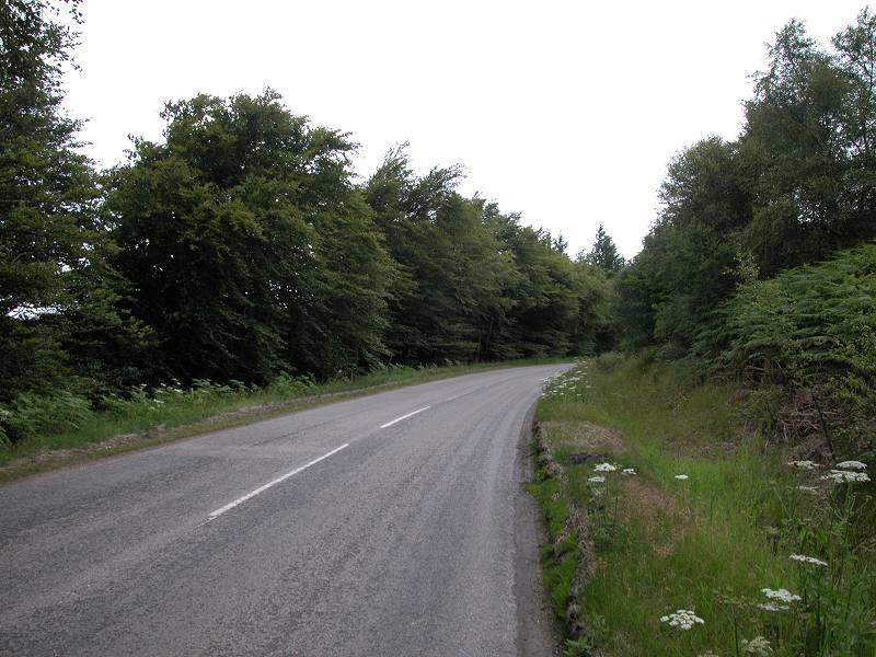
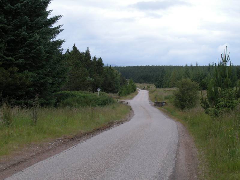
Forest plantation
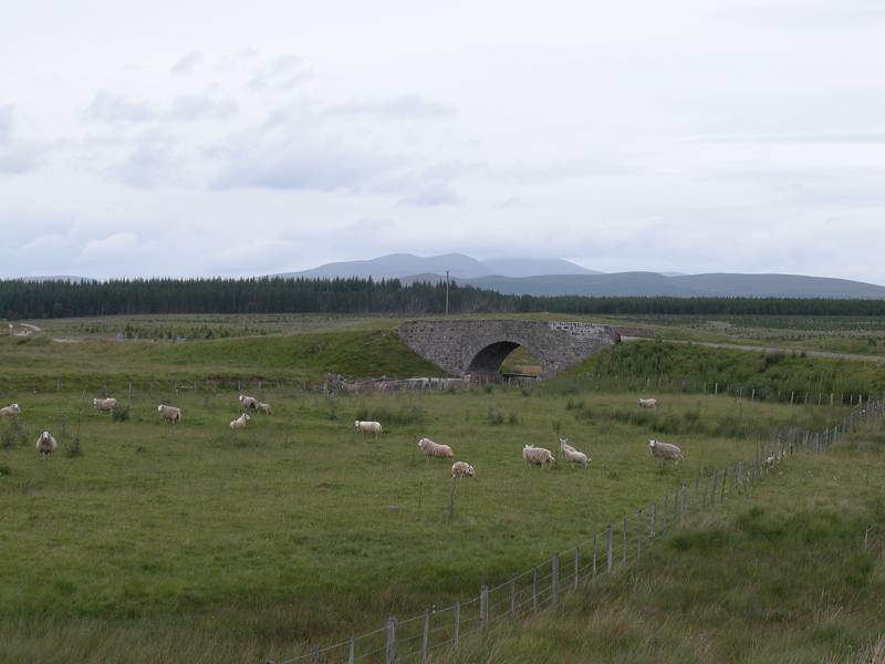
The road continues through more of the same scenery, with forest plantations now crowding the scene to the east. Nearly two miles after the Dalnessie track branched off you reach the next feature of the journey - Rhian Bridge, with the remote farm of Rhian standing just off the road. The Tirry is now some way to the west, and a few slopes and hillocks are beginning to break the skyline ahead (notably the neat dome of Cnoc Olasdail).
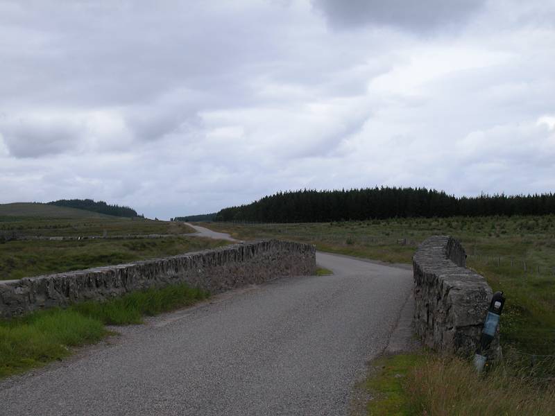
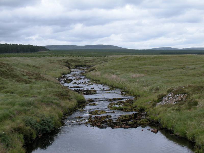
Rhian Bridge; the Abhainn Sgeamhaidh; the scene to the north
Ben Klibreck in the distance
Tramps Cairn is the only named feature on the map hereabouts, and whatever it is it has given its name to the plantation of trees immediately east of the road. The little hill of Cnoc Olasdail slides past to the west and from here on the road is sandwiched between forest plantations on both sides. There's not much of a view.
The road running through forest a few miles north of Rhian Bridge
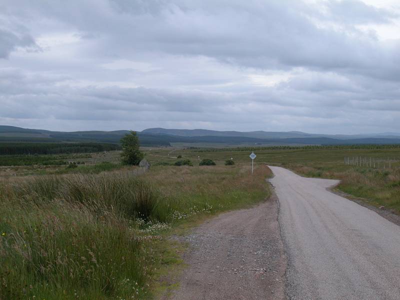
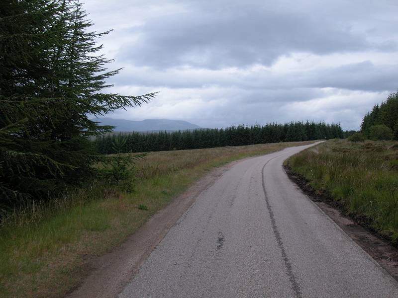
The end of the forest
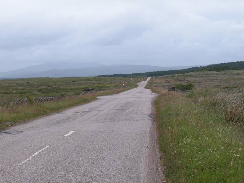
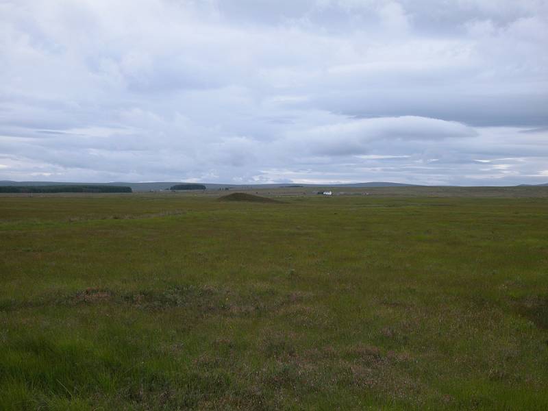
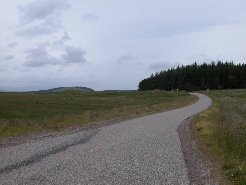
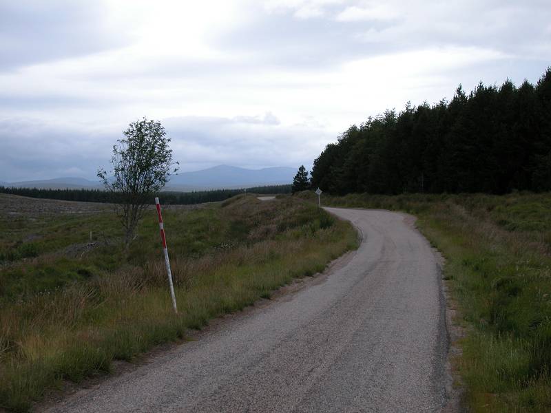
Now even the Ordnance Survey runs out of ideas. The forest plantation takes on the name of North Dalchork but the scene remains the same. After a couple of doglegs some three miles north of Rhian Bridge the road settles into a general north northwesterly direction and the forest continues for another three miles. There are cleared areas here and there, and the occasional track snakes off to either side, headed for heaven knows where. A low ridge to the west hides the River Tirry. Eventually, six miles north of Rhian Bridge, the trees clear to open moorland and the Crask Inn is seen not far ahead.
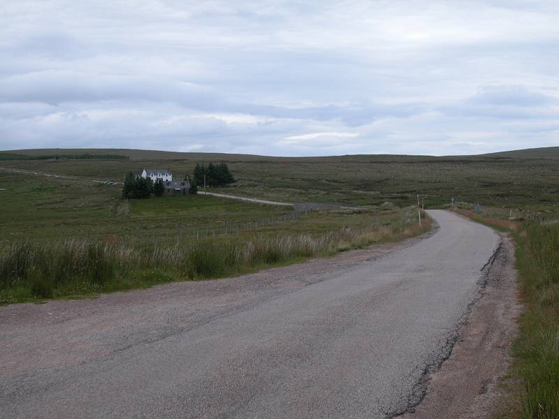
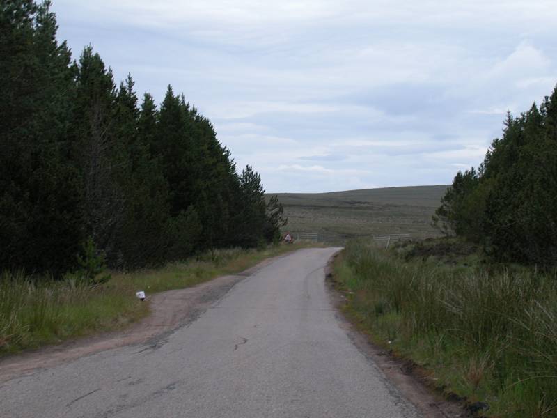
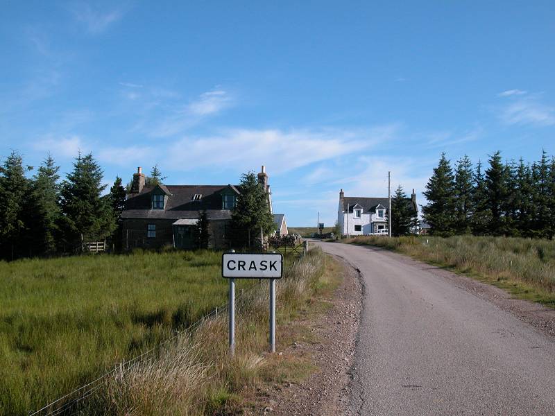
Approaching Crask
The Crask Inn is apparently an old drovers' inn, and is now a welcome (and welcoming) hostelry for Munro baggers, long distance walkers, anglers and the handful of tourists who venture along the road from Lairg to Altnaharra. It has only three rooms so be sure to book ahead. The cottage to the left is owned by the innkeeper and is being fitted out as a bunkhouse. The food is excellent. Make use of as many creature comforts as you can, and be sure you have sufficient food and drink with you, for tomorrow's hike is one of 25 miles.
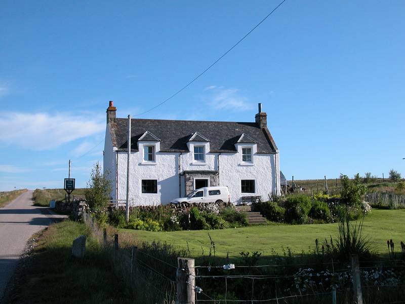
The Crask Inn
|
£3.25
inclusive
of postage / packing. |
| Ardgay to Lairg | Back to North of Scotland Way index | Crask Inn to Kinbrace |
This page last updated 30th November 2003
![]()