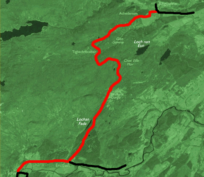
| Cannich to Struy | Back to North of Scotland Way index | Altgowrie to Contin |
| Cannich to Struy | Back to North of Scotland Way index | Altgowrie to Contin |
From the cottage we climb the shallow slope to the north to gain a
sketchy
vehicle track leading down the glen to the northeast. The track
improves
and, three miles further on, comes down to Achederson farm on the edge
of the pastoral country of the Beauly firth. The farm driveway emerges
at the public road just south of Altgowrie. From here it's a three mile
walk down the valley to Muir of Ord, for lodgings or for the train or
bus
back to Inverness.
Map: OS 1:25000 Explorer 431 (Glen Urquhart & Strathglass)
Click on any thumbnail image in this gallery to display the corresponding full size image. The images are access protected through a cgi script to prevent hotlinking. If you encounter problems while trying to view the full size images, please read the access advice page.
Tuesdays and Fridays only; depart Beauly 0925, arr Struy 0945. Saturdays only; depart Inverness 1150, arr Struy 1245. Tuesdays only, depart Beauly 1230, arr Struy 1250 (These minibuses tend to have tiny destination boards propped up in the base of the windscreen - keep your eyes open). Highland Country Buses service 121:
Inverness
- Kimorack - Struy |
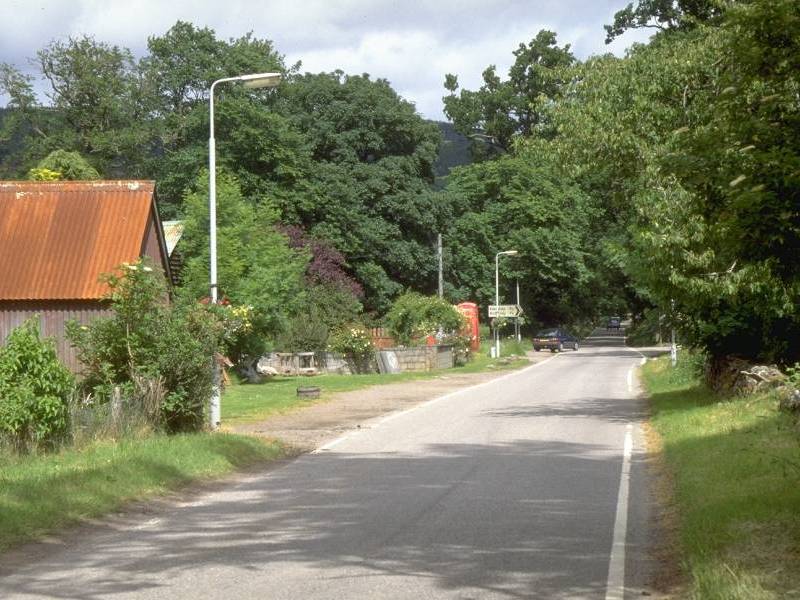
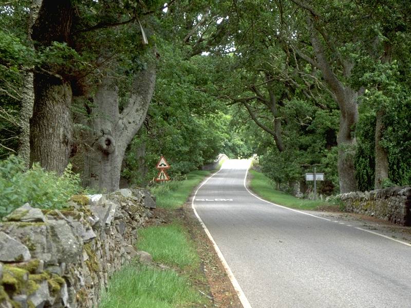
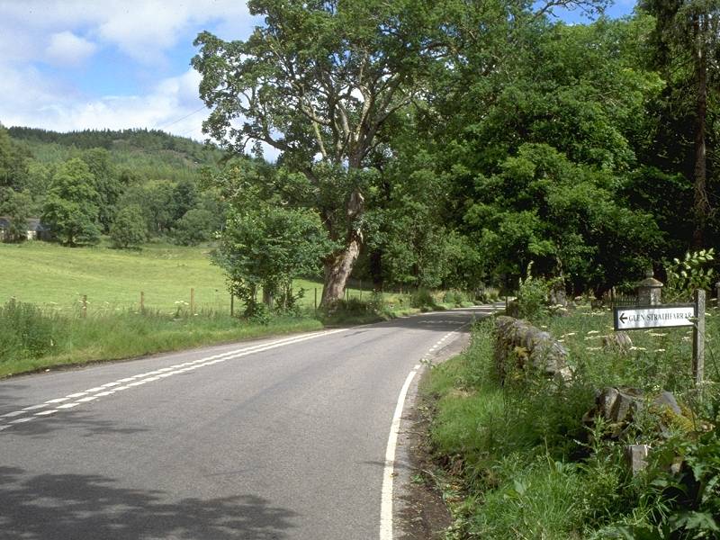
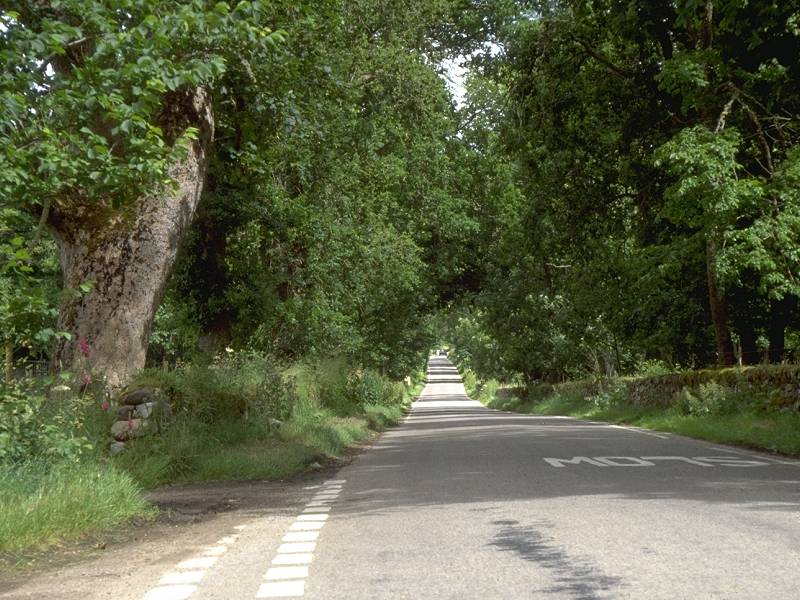
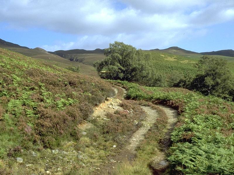
From the bus stance in Struy walk back along the road to Beauly, passing the road junction where you emerged at the end of the previous walk. Continue along the road and cross the bridge over the Farrar, beyond which the Strathfarrar road leads off to the left (west). Continue along the main Beauly road for another mile.
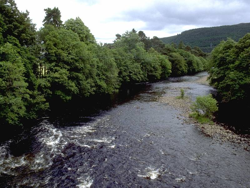
Approaching the Farrar bridge; the River Farrar
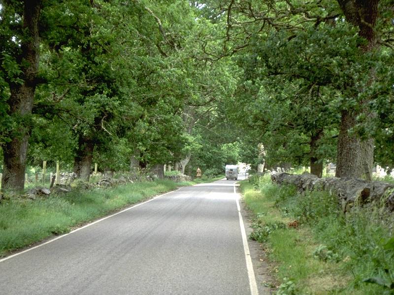
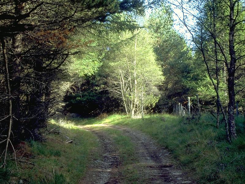
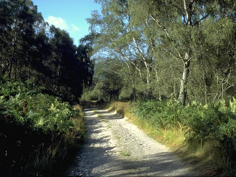
The track through Erchless Forest
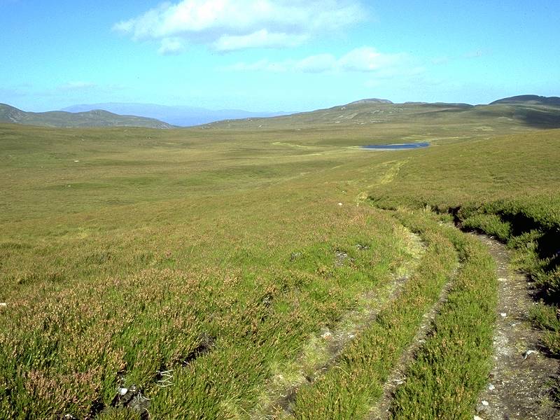
The track is well surfaced at first but soon deteriorates somewhat. After about a mile it comes out into a more open section, crossed by the power lines from the Strathfarrar hydroelectric station. The path continues to climb, though on a shallower gradient, for a further mile before reaching the northern edge of Erchless forest. Lochan Fada appears to your left, with the much smaller Loch nan Cuilc to your right. The Affric and Cannich hills appear in the view behind you.
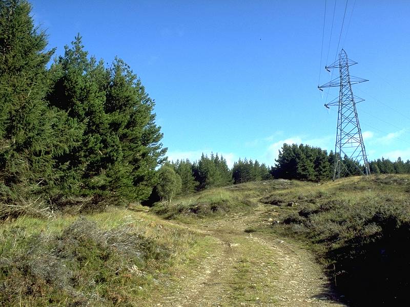
Power lines from Strathfarrar; nearing the edge of the forest; looking back along Lochan Fada
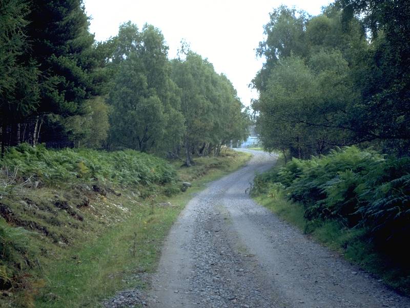
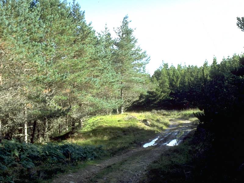
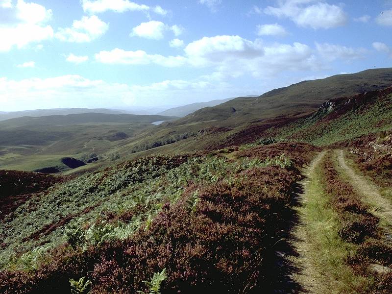
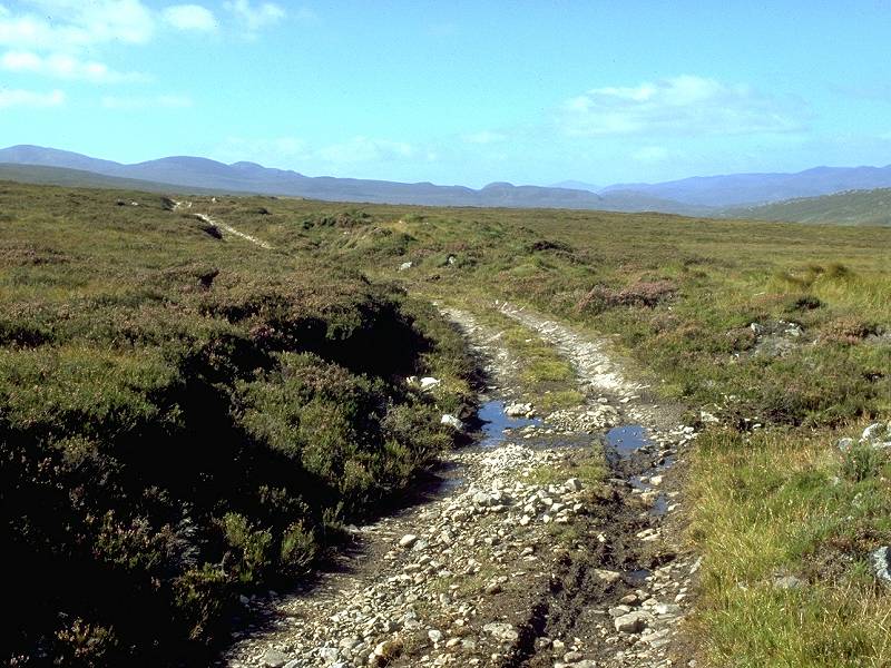
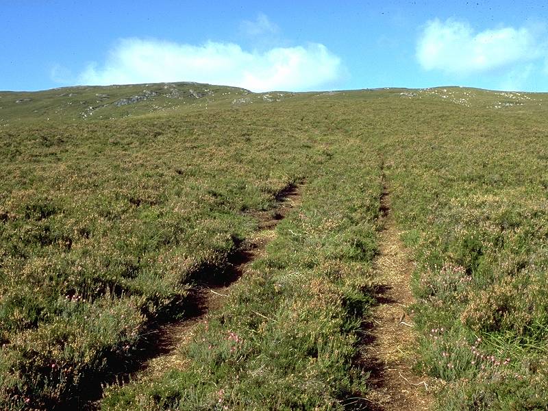
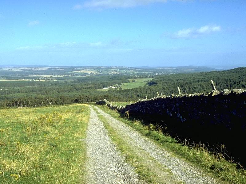
Three views of the track through Urchany forest
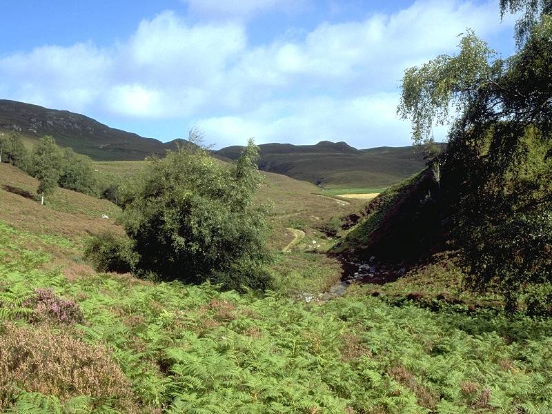
The Urchany gorge
The Allt an Lochain Bhallaich; the path climbs to Cnoc Eille Mor
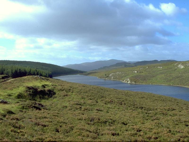
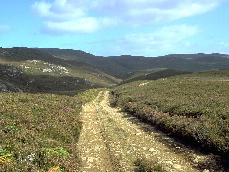
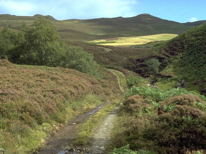
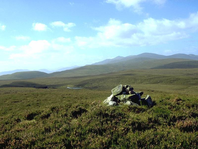
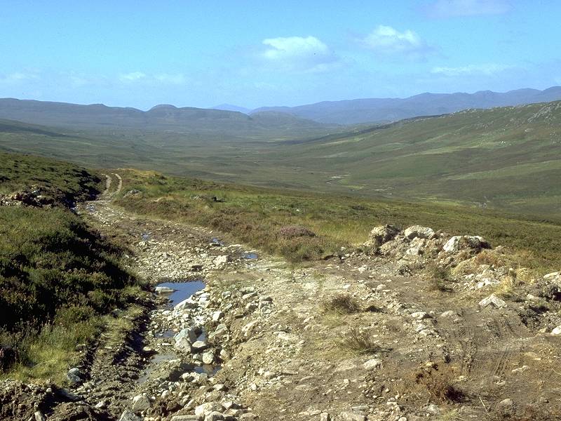
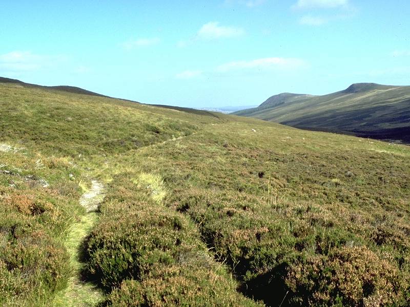
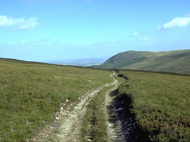
The track continues north northeast past the gorge and begins to climb to the low ridge beyond. The terrain is confusing - there is a tendency to think you are rather further north than you actually are. There is an initial climb to a false summit, after which the track continues through less interesting scenery for a while, eventually skirting the unphotogenic Loch Ballach. From here it doglegs alarmingly but climbs steadily to the true ridge line, just west of the 1200ft summit of Cnoc Eille Mor.
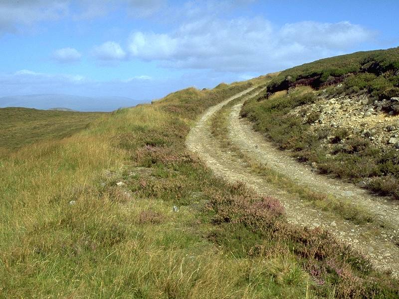
The path approaching Cnoc Eille Mor
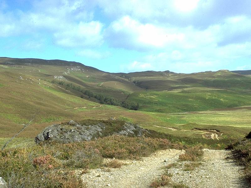
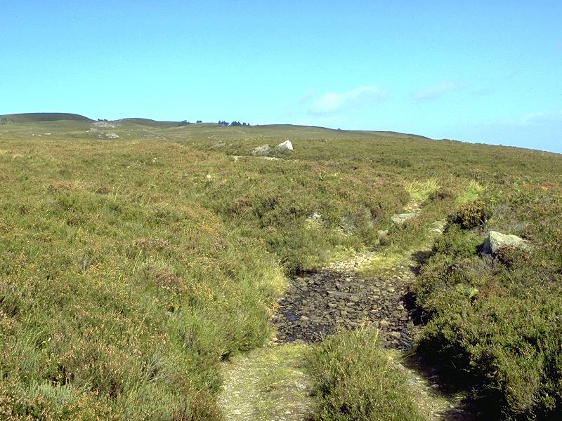
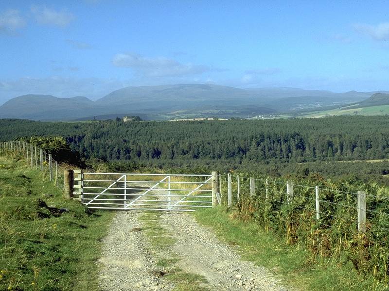
The top of the pass; the Strathfarrar Munros in the view ahead
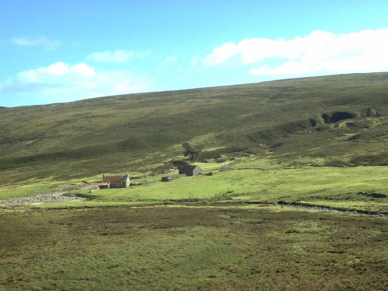
There's also a view northwards, of course. Beyond Glen Gowrie, down to your right, are a couple of groups of low hills. Beyond these the bulk of ben Wyvis is unmistakable. The track heads west now. running along the lip of Glen Gowrie below. About a mile beyond the col the track makes a wild dogleg to the southwest to skirt a little ravine formed by the Allt a' Chrochadair. The cottage of Tighachrochadair lies below and is your next objective.
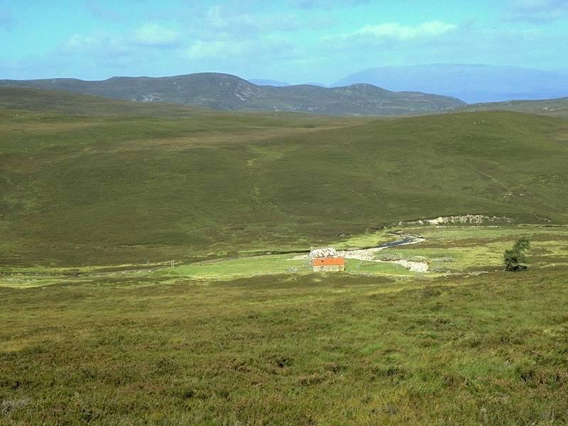
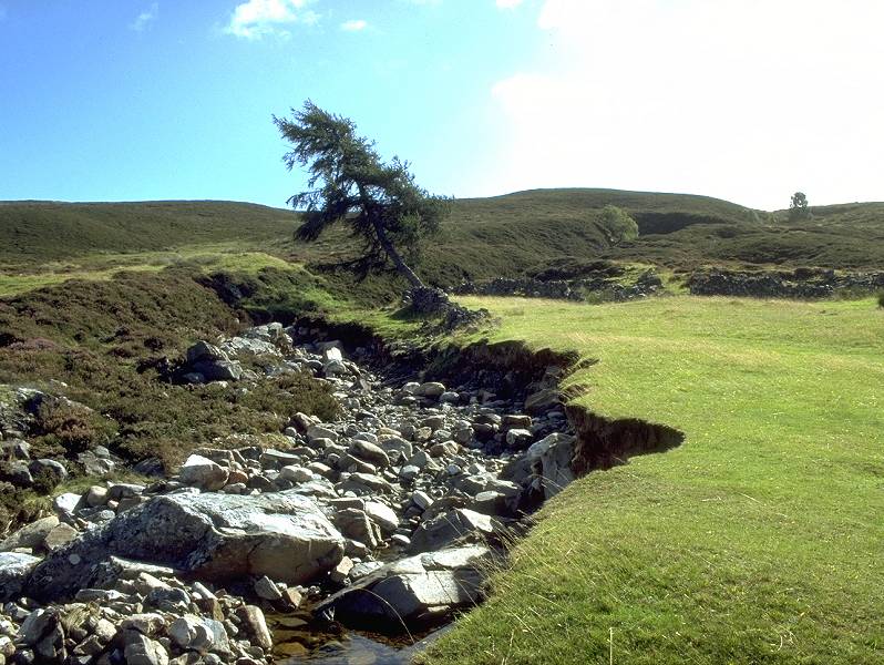
The track heading west; the remote cottage of Tighachrochadair in Glen Gowrie
Take the track past the ravine. The map shows a path heading down the west side of this gully towards the cottage below - unfortunately it's just a cartographic whimsy and you have to make your own way down through trackless heather.
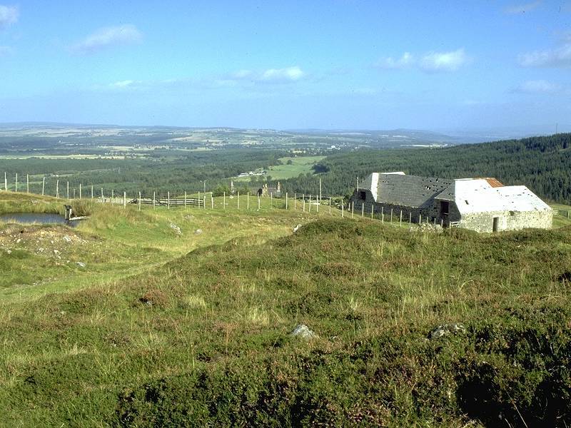
"Tighachrochadair's last resident was Donnie Ross, born in the house, educated by a resident teacher because the law required the many children to be educated , worked all his life for the local estate, never had piped water, electricity , drains, or any means of cooking apart from his open fire. When I met Donnie in the early 1990s he was at least in his late seventies, very sharp witted, and active. He was a charming man with a very sharp sense of humour. He died around the mid 1990's"A swathe of verdant lawn surrounding the cottage would make a splendid campsite, though it must be remembered that this land is owned by the local estate and it would be courteous to obtain permission first.
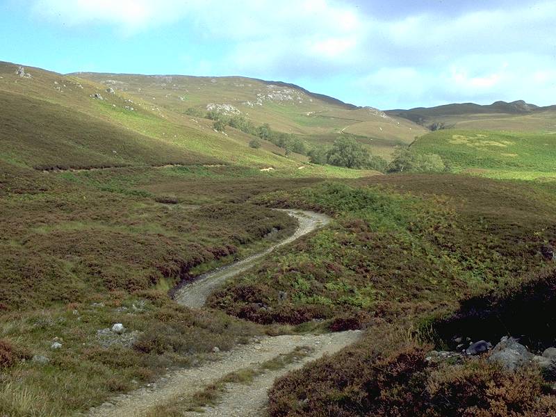
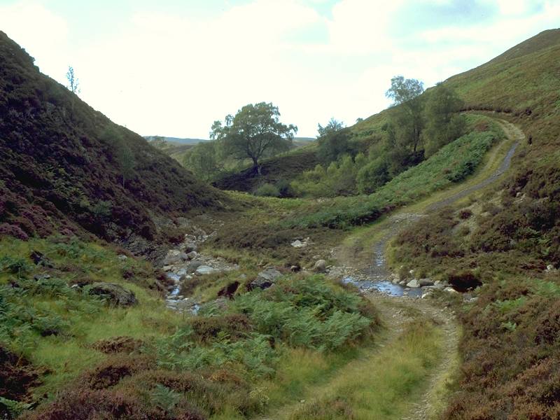
I did have lunch here when I walked this section in September 1997, on the grass beside the Allt Goibhre itself. This stony little stream is crossed by a rope "Indiana Jones" bridge, but the bridge is largely unnecessary as the stream can easily be forded unless in spate. A meagre track climbs the slope beyond to join the vehicle track along the north side of the glen. Turn right and follow it downstream.
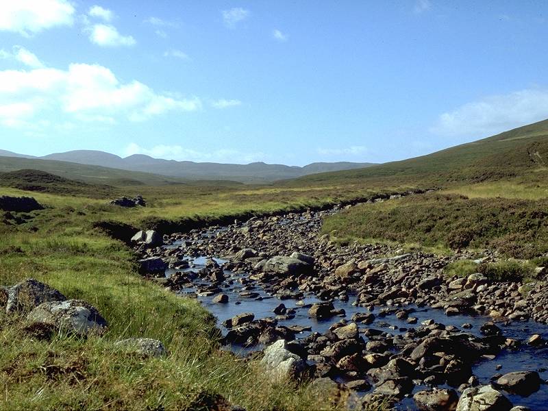
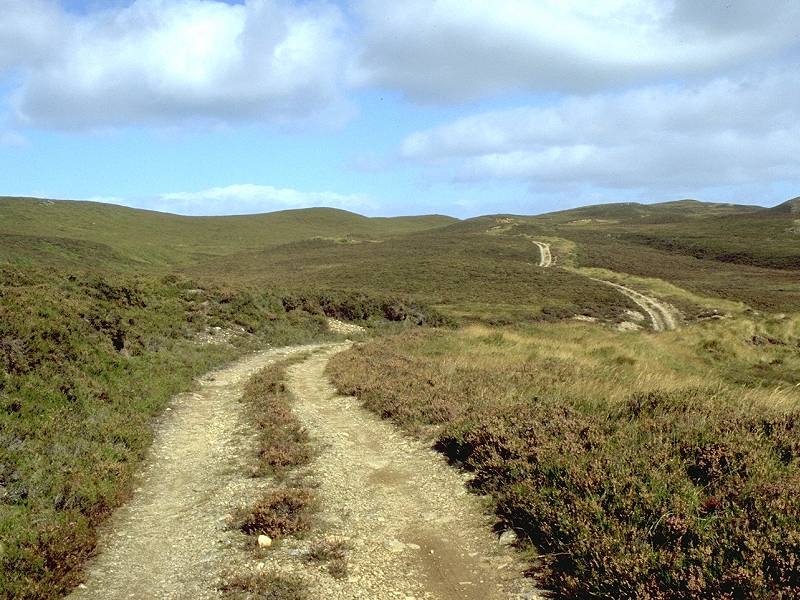
The Allt Goibhre; the track leading away from Tighachrochadair; Tighachrochadair from the north
The Glen Gowrie track
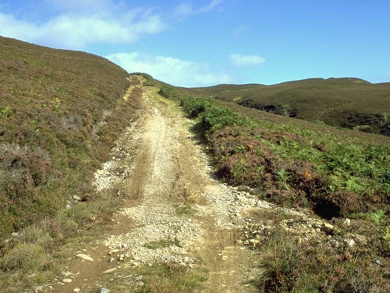
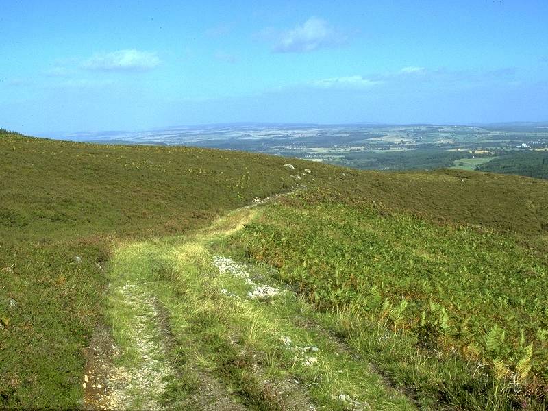
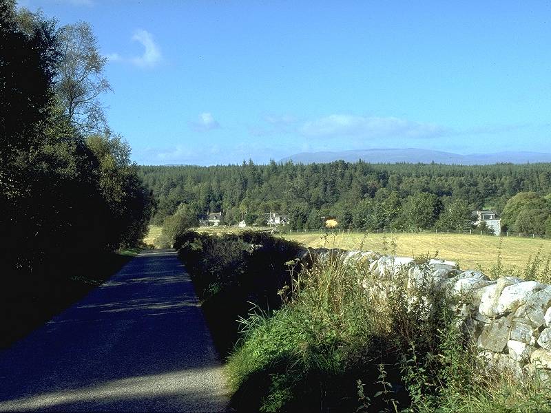
There's about 2½ miles of vehicle track to follow. It's sketchy and somewhat juicy at first but gradually improves, and as it nears the lip of the glen above Altgowrie a view opens up over the Beauly firth. The Muir of Ord distillery is very prominent, a white blocky building some 3½ miles distant.
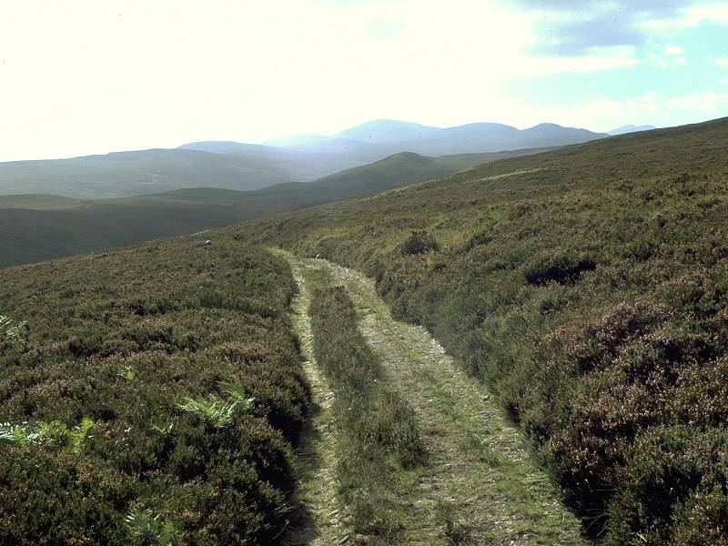
Glen Gowrie track; Looking back to the Strathfarrar hills; the Beauly Firth begins to appear
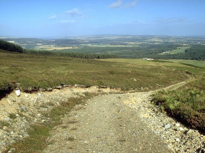
The track descends to the Beauly firth
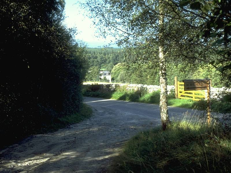
Eventually the path comes alongside Bridgepark Wood and reaches the farm of Achederson. You bypass the farm buildings to the right and continue down the farm driveway to the road below.
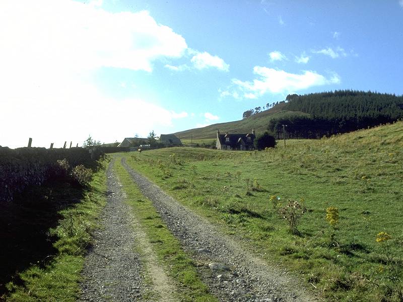
Descending to Altgowrie
Altgowrie
There isn't much to Altgowrie, and the prospect of finding bed-and-breakfast here is slim. Any hope of camping is slimmer still. Your best bet is to keep walking. The road to the right from the Achederson junction heads for Muir of Ord, three miles away - there's ample accommodation there and also transport links to Beauly, Dingwall and Inverness.
![]() Trains
from Muir of Ord: Scotrail
(North Scotland Line) timetable(.pdf document)
Trains
from Muir of Ord: Scotrail
(North Scotland Line) timetable(.pdf document)
| Cannich to Struy | Back to North of Scotland Way index | Altgowrie to Contin |
This page last updated 22nd June 2004
![]()