
![]()
Click on
any thumbnail image in this gallery to display the corresponding full
size
image. The images are access protected through a cgi script to prevent
hotlinking. If you encounter problems while trying to view the full
size
images, please read the access advice
page.
Got up and had breakfast. Geoff told me that Zay was too poorly to eat, her stomach bug having got worse. I went down to the tourist information shop to buy more film. It wasn't worth attempting much today as we were due to leave after lunch, but the weather was excellent again. Out of curiosity I tried walk 6 once more, this time from the other direction, and this time I found it. The problem was lack of route marking at a dubious junction.
As we were due to leave at 1.15 we asked if we could have our lunch at midday. In fact several others were doing the same. Zay was still unable to eat. The girl at reception told us that although the bus was due to leave the village at 1.15 it would probably leave the hotel some ten minutes earlier. In fact it left at 1pm and we were glad of her information.
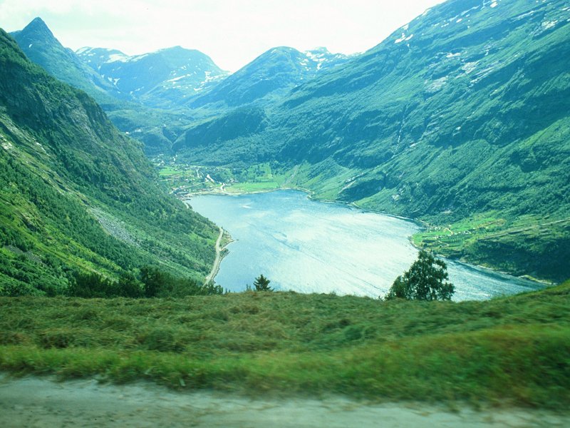
Leaving Geiranger by the Eagles' Way
The Eagles' Road was disappointing after Flydal. There were too many cars in the way at the viewpoint and I couldn't get a proper shot. Scottish Touring Disease all over again. But the scenery was marvellous. For some reason just about all the passengers on the bus were English.
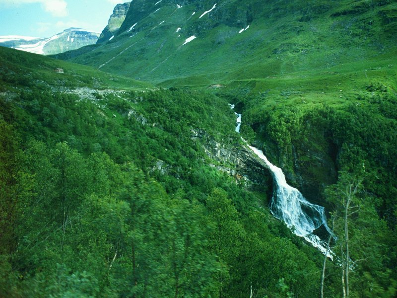
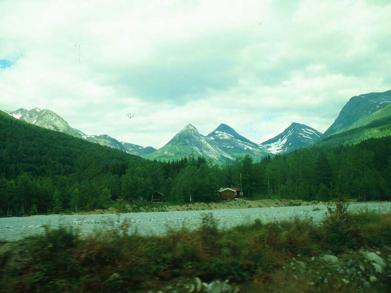
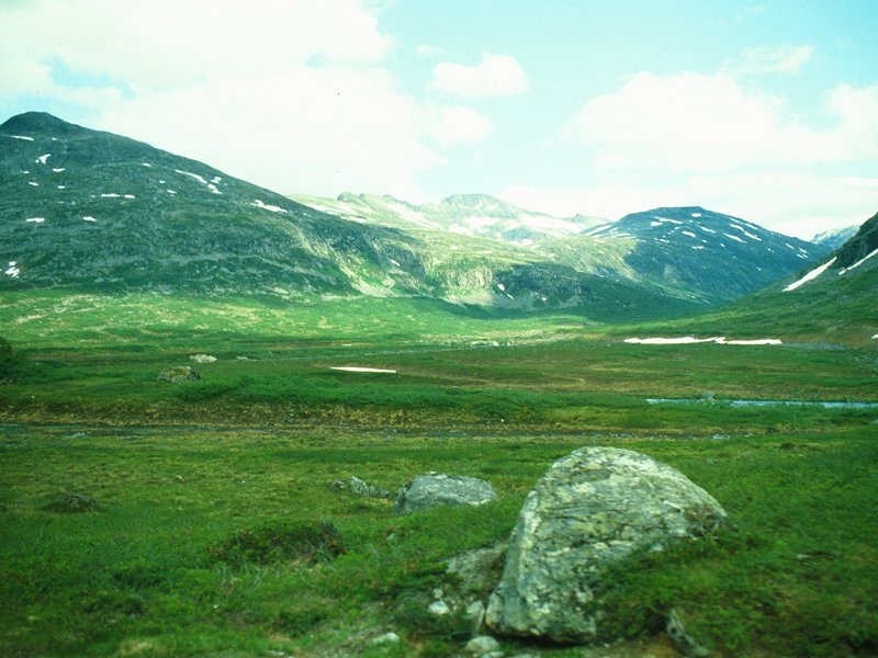
Geiranger to Linge
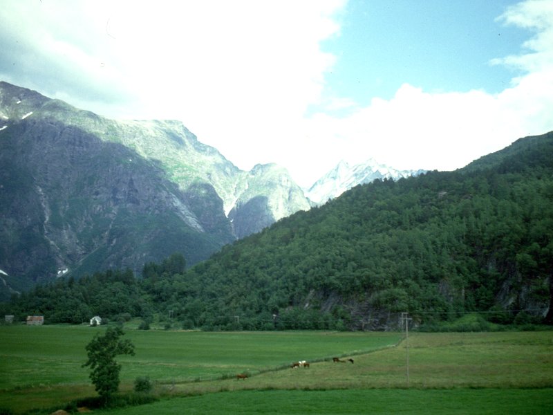
The scenery between Geiranger and Linge was striking and I snapped away through the bus windows at various places. Although we were at high altitude much of the immediate terrain was lush farmland. yet again I found myself wondering why this could happen here but not in Scotland.
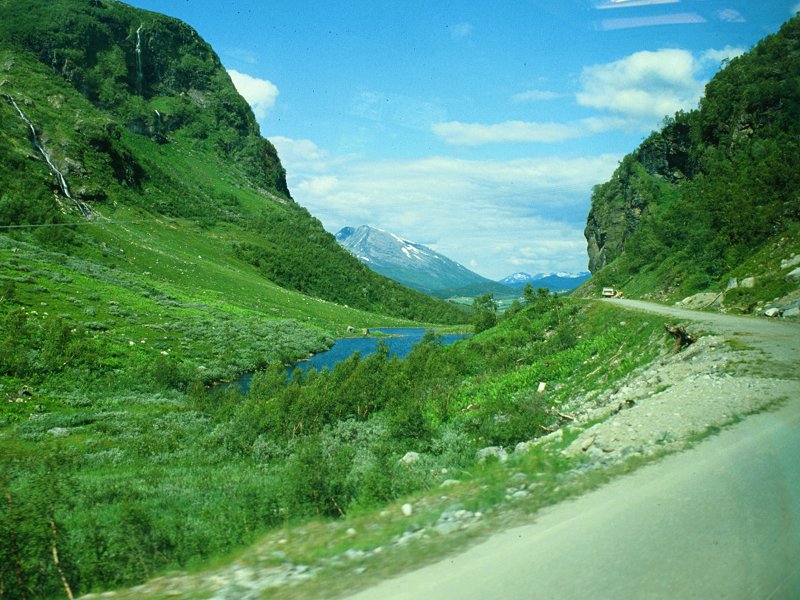
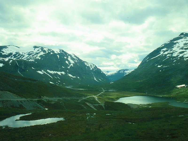
Scenes near Linge
At Eidsdal we went straight onto the ferry, which left ten minutes early. We arrived at Linge, on the opposite shore, fifteen minutes early and had half an hour to wait for the bus. The weather began to cloud over. A bus pulled up. The destination board was wrong but the driver told us that he was going to Andalsnes, and changed the destination board at the last minute just before setting off. Just like home!
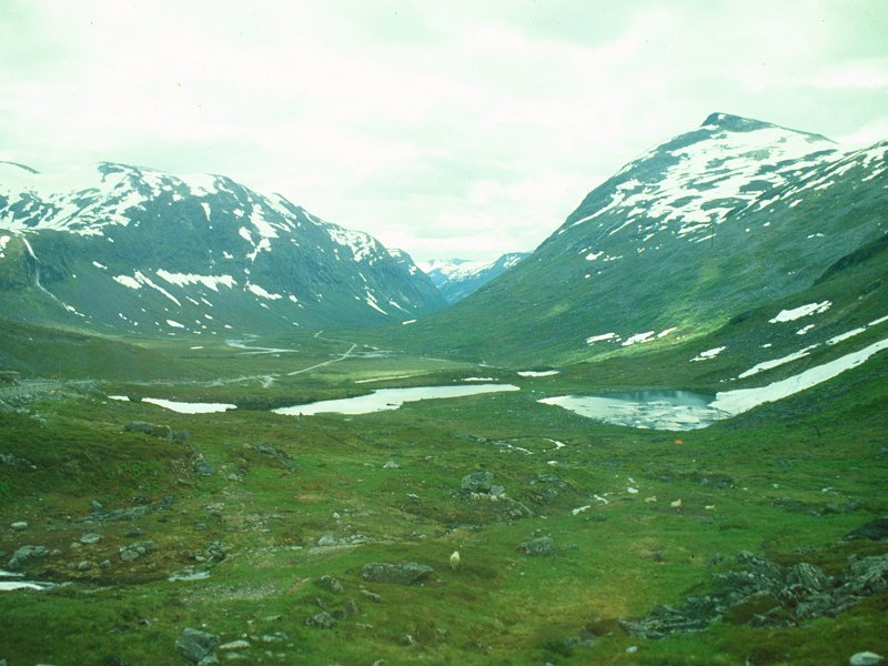
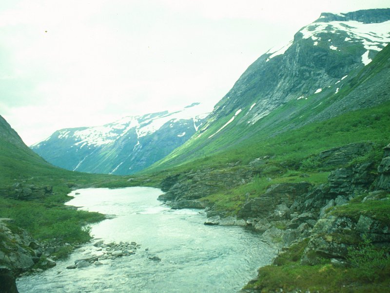
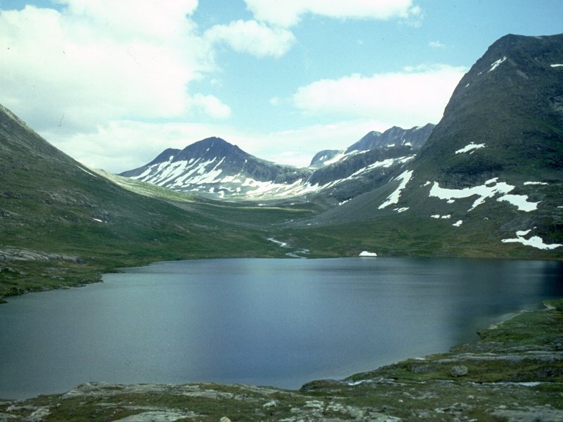
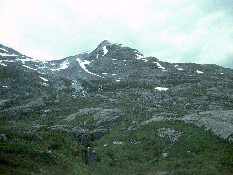
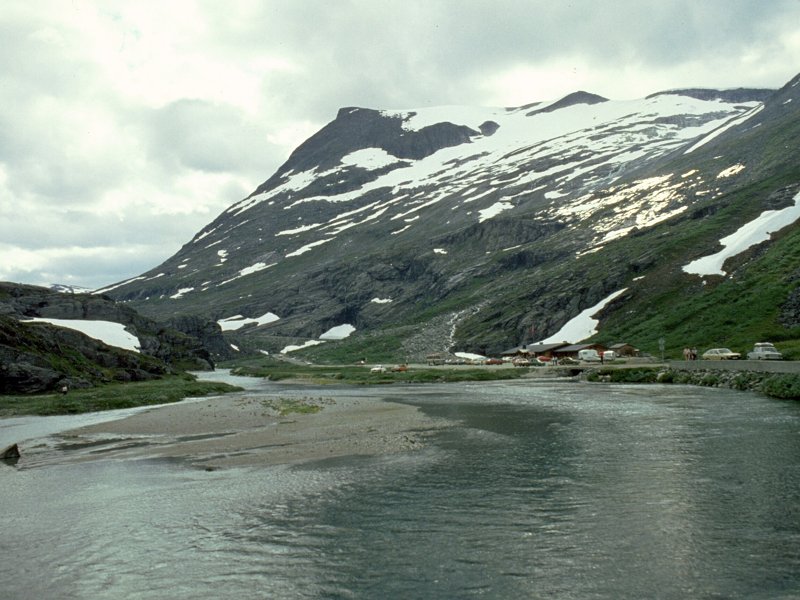
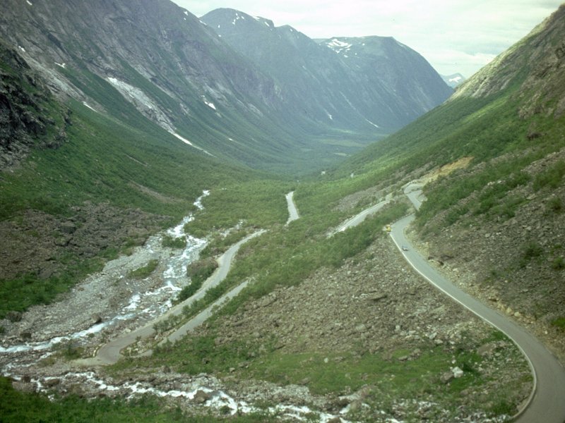
The highlands of Meierdal
The bus climbed Valdal and once again the scenery was spectacular. Although it was cloudy now the cloudbase stayed high and we were treated to scenes of towering mountains and spectacular waterfalls. We entered Meierdal, and now we were in high moorland country. Yet more staggering peaks surrounded us, each topped with snow. The road was built up on sand and gravel embankments around curves and the immediate terrain was positively lunar.
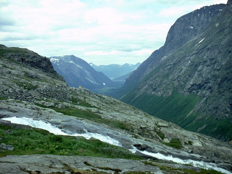
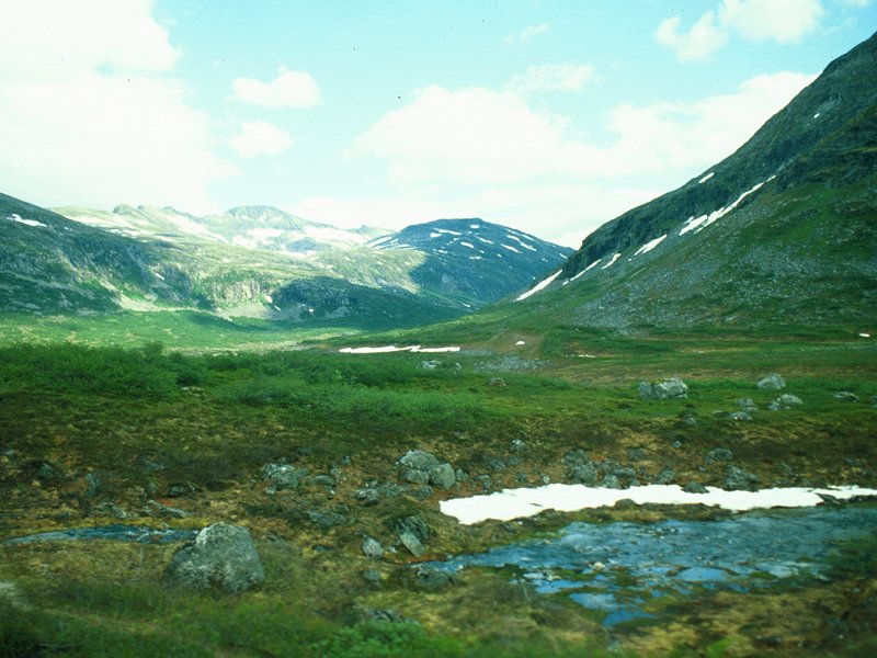
Meierdal to Trollstigheim
We arrived at Trollstigheim, for a five minute stop. The viewpoint was 500 metres away so there was not enough time to visit, but I did the best I could. The place was littered with souvenir shops, kiosks and cafes, and I chose the word "littered" with care - it really was a mess, so out of place in this environment. It was about the only thing I saw in Norway that made me frown.
Back on the bus, to find that many seats had been taken up by those who had come out here earlier from Andalsnes. I was stuck in a gangway seat now. I was worried that I might not get any decent shots of Trollstigveien, the Troll Road, reputedly the most spectacular road in Norway.
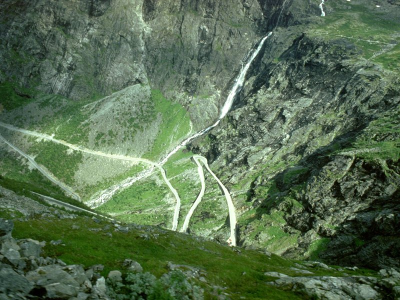
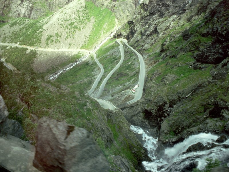
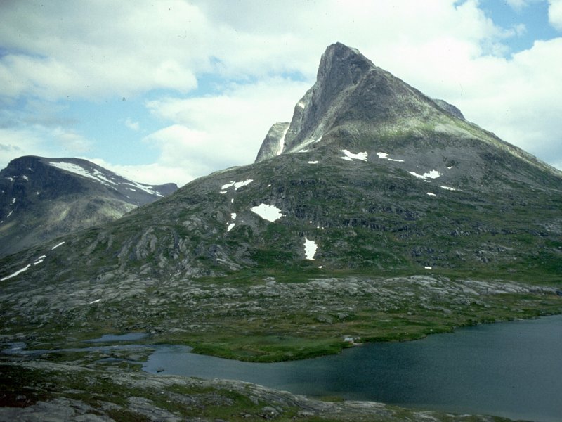
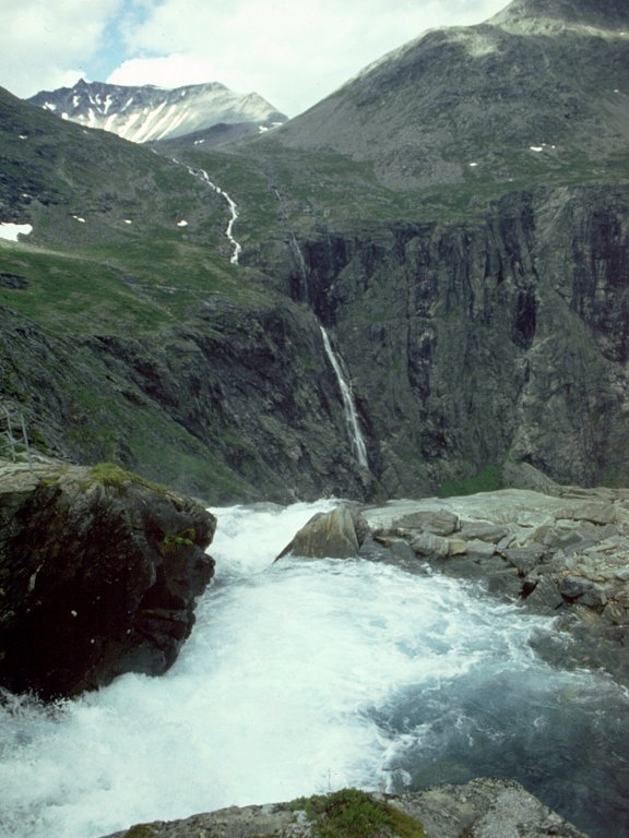
The Troll Road
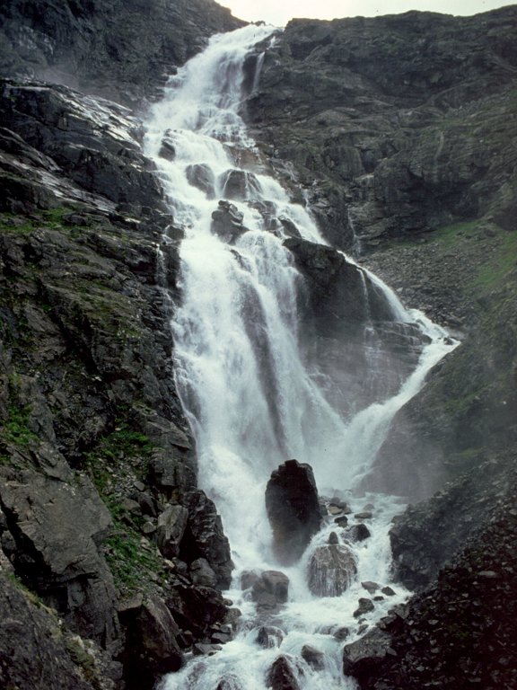
Stigfoss.
The Troll Road was indescribable. Read back what I said about Flydal and multiply all the superlatives by 3. The road stopped at the bridge at the head of the corrie, and we could see the road descending in crazy hairpins towards Andalsnes, visible three thousand feet below! A great, foaming torrent of a waterfall - Stigfoss - roared down the corrie. The scale was too large to encompass and once more I did the best I could. The road dropped three thousand feet in only a mile, yet there were so many hairpins and doglegs in the road that the driving distance to Andalsnes was 7 km.
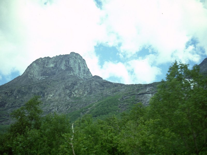
I wasn't able to get any decent shots of the surrounding mountains, which was a great shame as this place seemed to be Norway's equivalent of the Cuillin. Fantastic, jagged pinnacles soared to the north. To the south were three huge rock towers, which i later learned were called the King, the Queen and the Bishop. In the distance was the mind-blowing sight of a ridge of pinnacles just like a meringue topping, except that it was black. Then, as we approached Andalsnes, another peak came into view - the Romsdalhorn, a soaring, Dolomitic tower some six thousand feet high. I though that Norway had exhausted its capacity to blow my mind yet it had just done so once again.
Troll Road, and Asterdal.
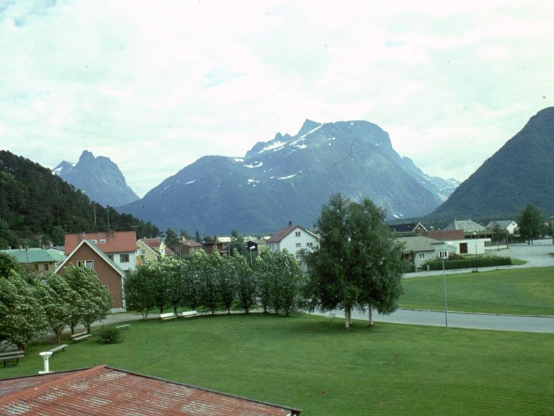
Andalsnes, and a distant view of the Romsdalhorn
We arrived at Andalsnes at about 5.30 local time. It was anticlimactic after the day's journey. The hotel was older and less well furnished than those we'd stayed at over the last few days, and was drab in comparison. Andalsnes itself was a ghost town. All the shops were closed, this being Saturday afternoon. Geoff had run out of cine film. He's had to change rooms, Zay was still poorly and he was very depressed at dinner.
It took about ten minutes to look around the town. At least the tourist information office was open and I asked the girl there if she could recommend any walks of about one to two hours. She pointed me at a viewpoint and told me that the walk to it actually took some five hours, but i could go as far as I thought best and then return. It was probably going to be my last hillwalk in Norway as it was all towns from then on. The path was really steep, climbing relentlessly. I got to something around 1500 ft but was still in thick forest. Attempted some snaps then started down again.
I went to bed but was disturbed by a band that started playing down in the lounge at 10pm. Saturday night, of course, and it was probably the only entertainment in the town all week. I drifted of to sleep eventually.
![]()
![]()
![]()
![]()
![]()
The Day
Nine page will be available in March /April 2005
![]()