| Kirk Yetholm to Morebattle | Back to South of Scotland Way index | Jedfoot Bridge to St Boswells |
The walk is in 3 distinct stages. The first stage, out of Morebattle to the west, consists of a few miles of road walking, mostly along back lanes with very light traffic. At Cessford, with its dilapidated castle and its artificial-looking river valley, we join a series of farm vehicle tracks, field paths and farm driveways as far as Crailinghall. For the third stage St Cuthberts Way adopts Dere Street, the route of an ancient Roman road, running dead straight - as Roman roads almost invariably did - to the north west. Dere Street exists today as a mixture of paths and farm tracks, often through a ribbon of woodland, rising and falling with the contours. After some three miles of Dere Street, during which the route is also joined by that of the Borders Abbey Walk, we come to Jedfoot Bridge and the finish of today's walk.
If you're still fresh, or if you're on a tight time budget, you may choose to continue along St Cuthberts Way to St Boswells. Otherwise walk west along the road to the road junction three hundred yards distant and await your bus to Kelso, Galashiels or Jedburgh, or - if you're staying at Jedburgh itself - walk back along your route for a short distance and follow the lane into the town, two miles away to the south.
As there's no accommodation at Morebattle
it's necessary to stay either at Kelso or Jedburgh to tackle this walk.
There's nowhere other than Jedburgh from where you can get public
transport
into Kelso early enough to catch the morning bus to Morebattle. The
added
attraction of a Jedburgh terminus is that you're not tied to bus times
at the end of the walk, and can relax and enjoy it fully. On a warm,
sunny
day it's a real pleasure.
Update, February 2006: News
has reached me that the route of St Cuthbert's Way has been revised
between Cessford Gates and Stubcross Plantation, rendering about half
the route depicted on this page out of date. The new route runs via
Brownrigg, Littledeanlees and Chestercleuch Plantation and is said to
be virtually the same length as the original route. I will endeavour to
update this page as soon as possible, hoipefully in the summer of 2006.
|
|
|
| Length: | 8.64 miles / 13.9 km |
| Total ascent: | 745 ft / 227 m |
| Total descent: | 901 ft / 275 m |
| Estimated time: | 2 hrs 52 mins |
Map: OS 1:25000 Outdoor Leisure 16 (The Cheviots)
Click
on
any thumbnail image in this gallery to display the corresponding full
size
image. The images are access protected through a cgi script to prevent
hotlinking. If you encounter problems while trying to view the full
size
images, please read the access advice
page.
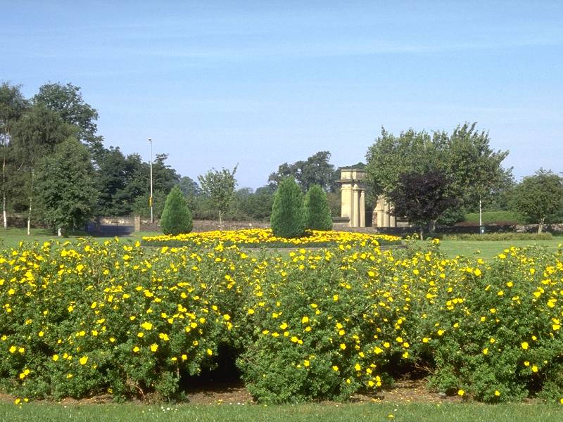
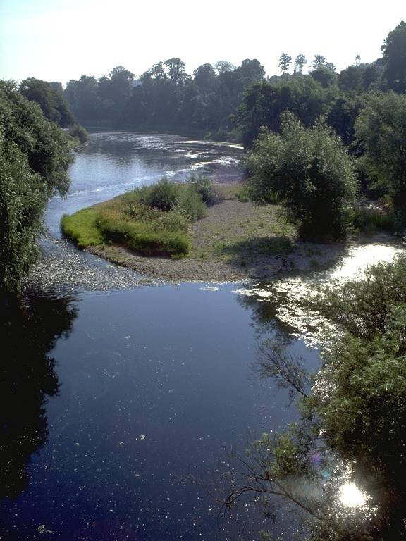
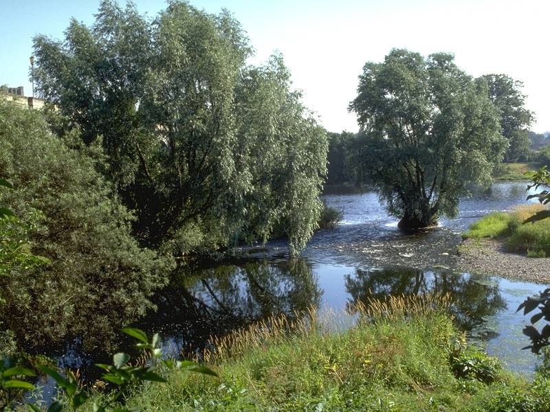
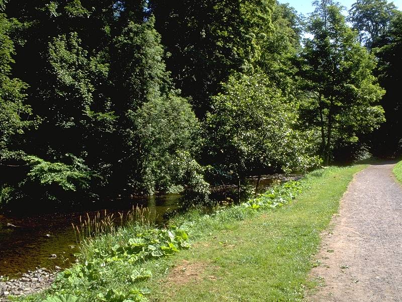
A riverside park and two views of the river Tweed
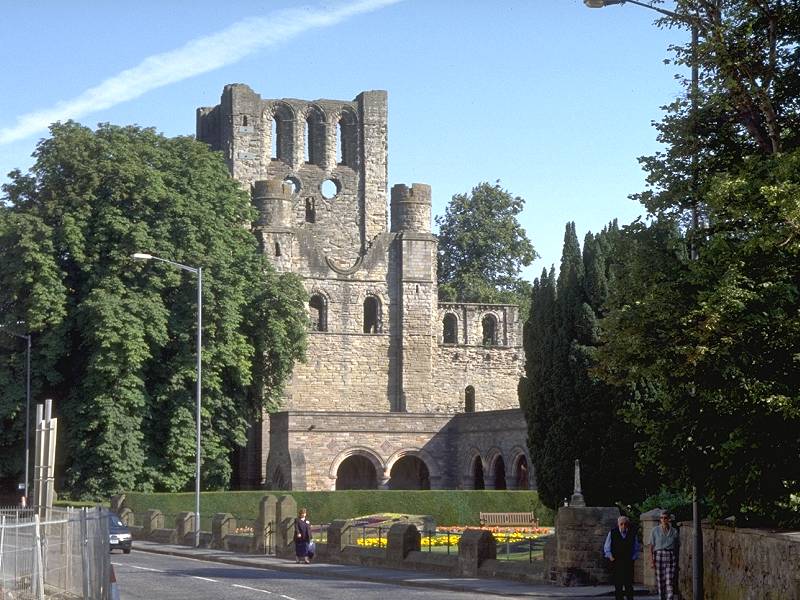
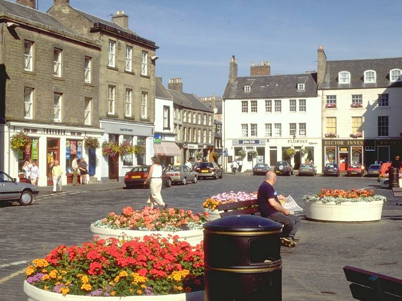
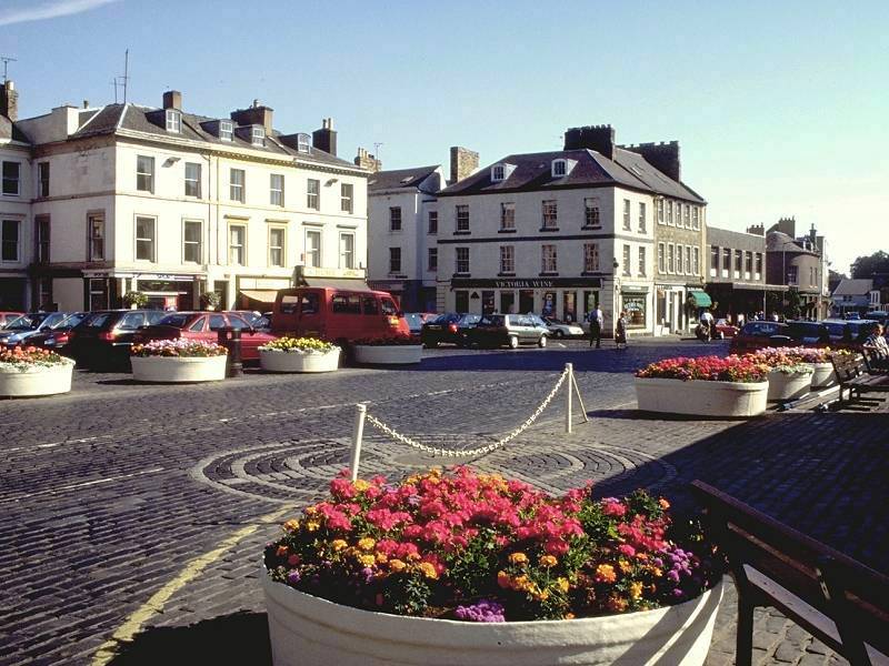
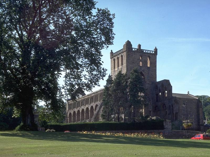
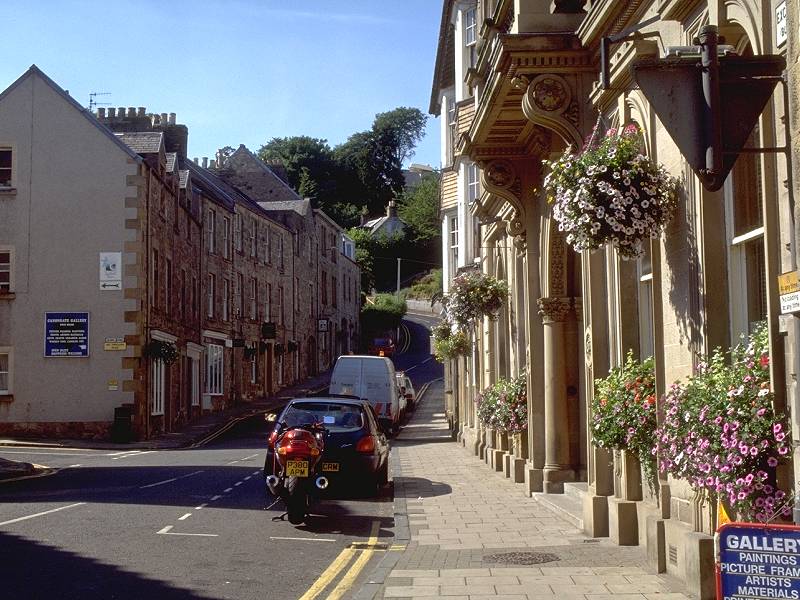
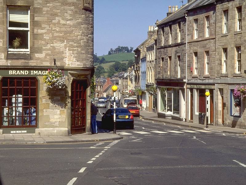
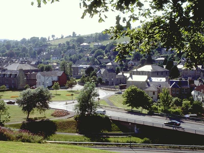
Kelso Abbey and two views of the town centre
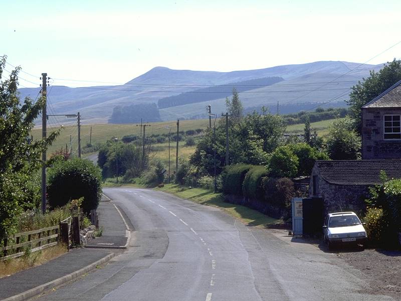
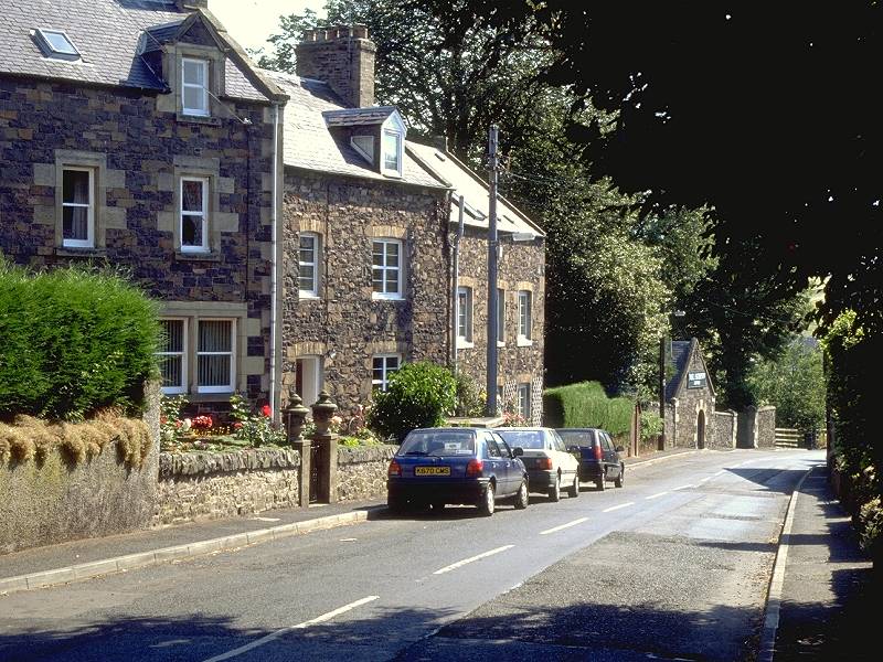
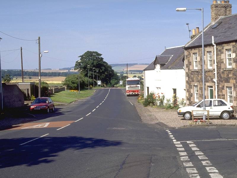
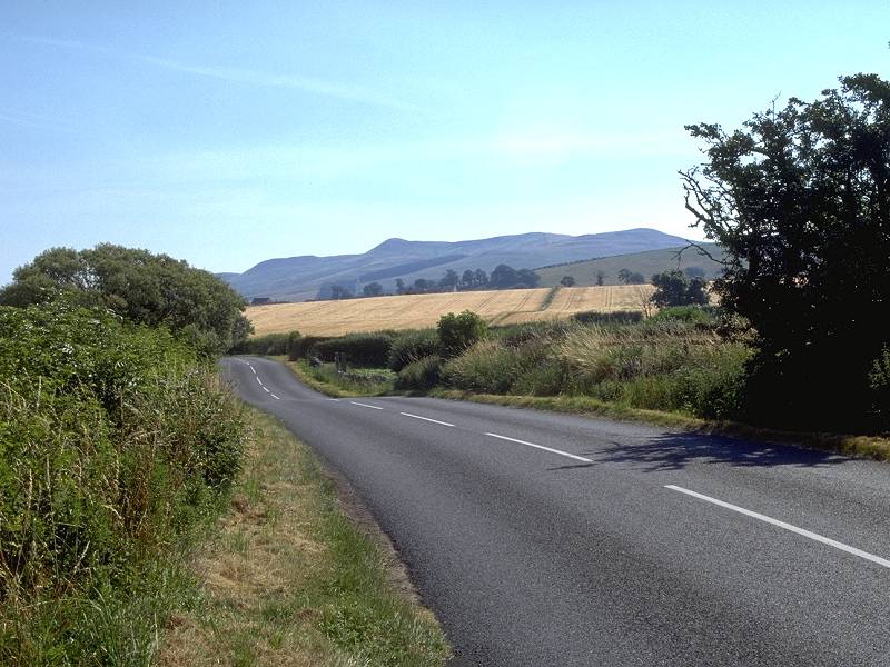
Looking back at the Cheviots; entering Morebattle; Morebattle street scene
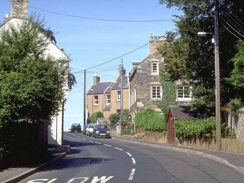
Morebattle is the archetypal sleepy English village - a bit ironic, considering that it's in Scotland. There are no amenities here and the only link with the outside world is the thrice-daily bus service from Kelso via Kirk Yetholm. The bus turns round at Teapot Street (!) and heads back the way it came.
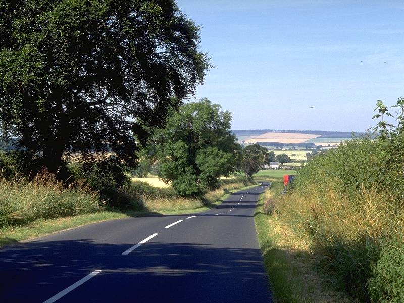
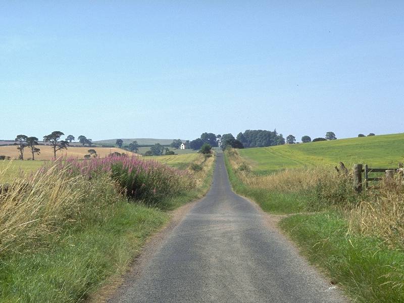
Take the road heading west out of the village. Though it's a classified road (the B6401, from Yetholm to Kirkbank) traffic on it is light.
To avoid any confusion it should be stated here and now that this Otterburn has nothing to do with the Otterburn three days' walk back on the other side of the border. It's simply a coincidence how the same names can often crop up relatively close to each other.
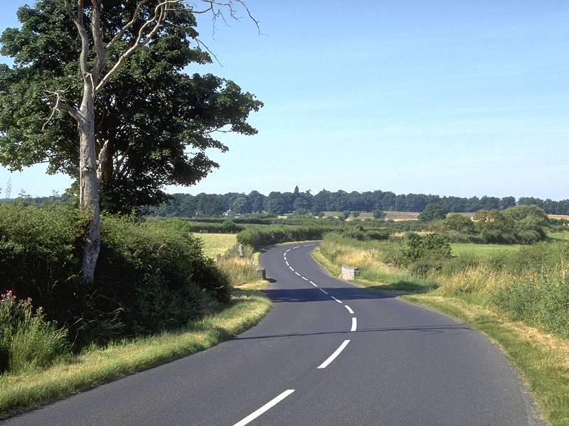
Otterburn, Roxburghshire, is a tiny locality consisting of little more than a farm. It lies amongst charming pastoral scenery, however, which you might as well enjoy to the full whilst strolling along the road. A mile out of Morebattle you reach a road junction (which would doubtless be called Otterburn Cross in the north Devon landscape this part of Scotland so uncannily resembles), at which you turn left into the lane for Cessford.
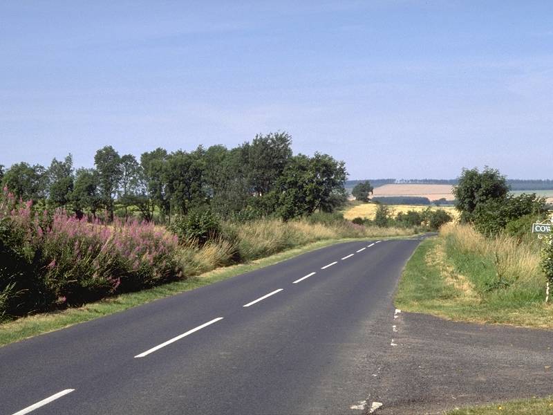
The last few yards of the main road; "Otterburn Cross"; Cessford lane
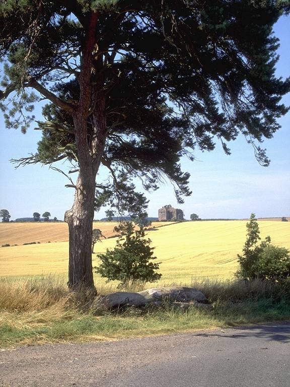
The lane runs dead straight beside woodland for some 400 yards, after which it veers off right. The farm track that continues straight on can be traced on the map for the best part of six miles, pretty nearly all the way to the Cheviots near Catcleugh; it's probably an ancient byway of some kind and does in fact link with the Roman road of Dere Street. Our lane heads resolutely southwest now, towards a couple of trees at the next bend. The ruin of Cessford Castle can be seen ahead.

Cessford Lane; Looking back towards Morebattle
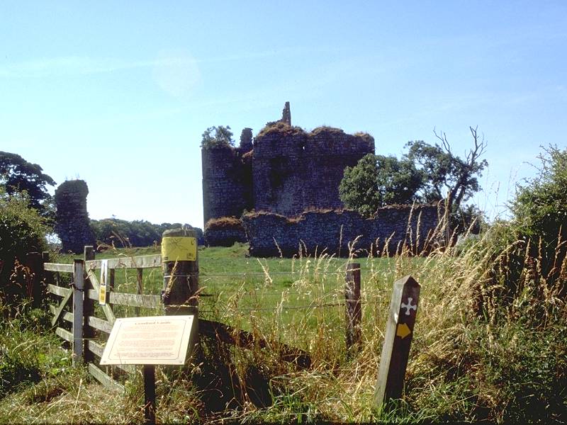
Looking back along Cessford lane; countryside to the northeast; Cessford castle
The road rounds a couple more bends, giving extensive views over quite glorious pastoral country, and passing the remains of Cessford castle. A roadside plaque gives scant information about the castle apart from the fact that the ruin is dangerous and should on no account be entered. Four hundred yards further on is the curious village of Cessford.
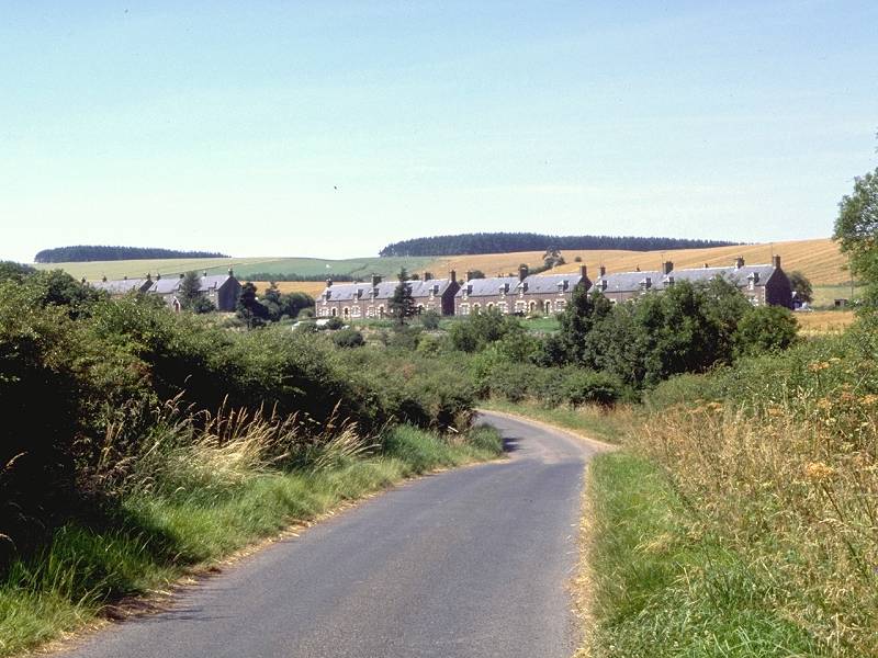
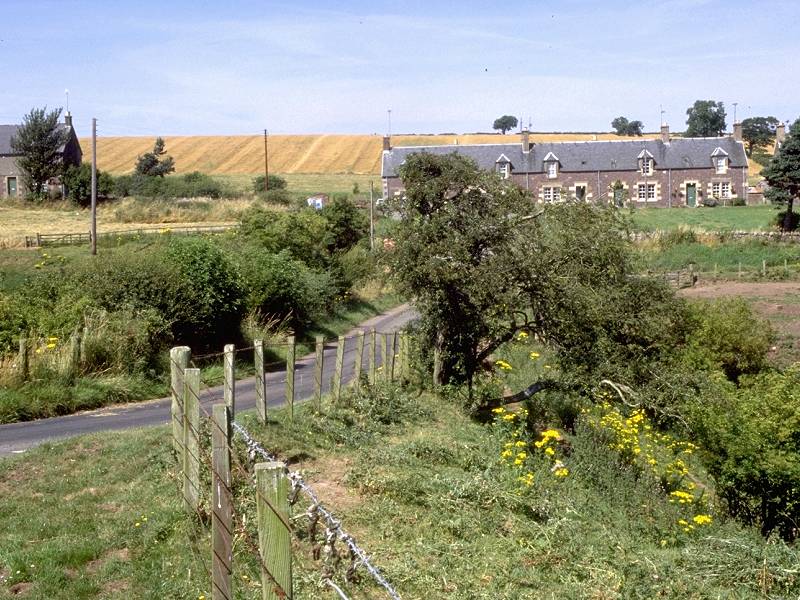

Cessford gives every appearance of being a row of railway cottages, and the road crosses a valley that has every appearance of being an abandoned railway cutting. In fact there was never a railway here; the valley is that of the tiny Cessford burn, which you will be lucky to glimpse. Our route leaves the road to the left (southwest end) of the row of cottages, to take a farm vehicle track up through the fields of Cessford Moor.
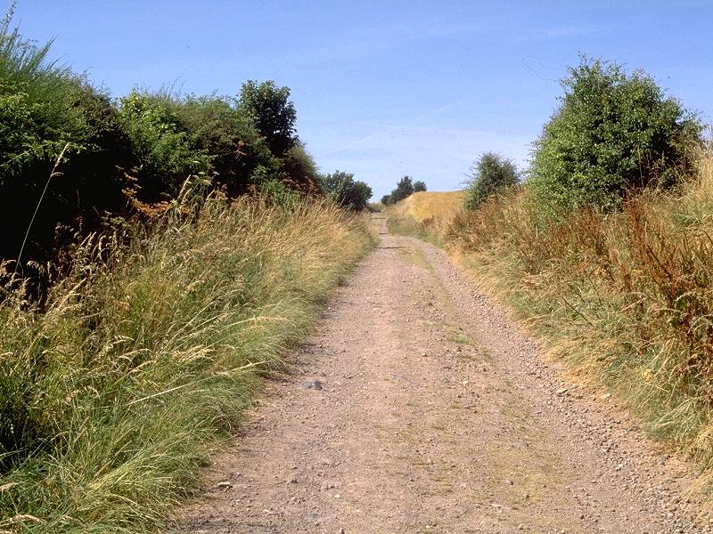
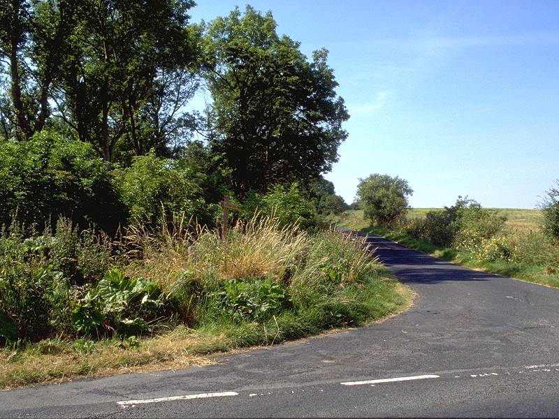
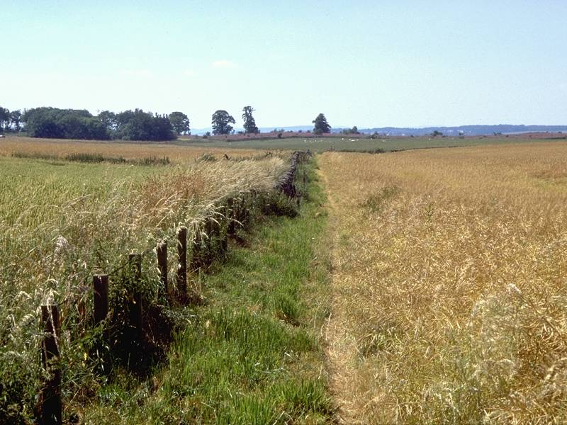
The farm track across Cessford Moor; Retrospective view of the Cheviots; approaching "Cessford Gates"
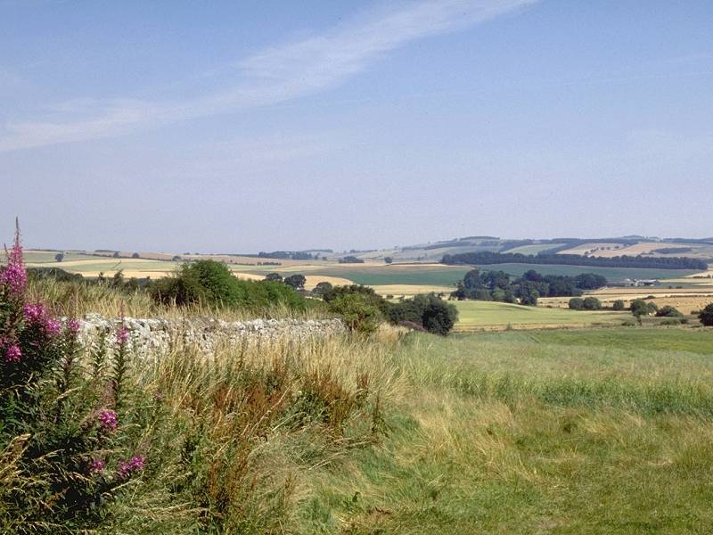
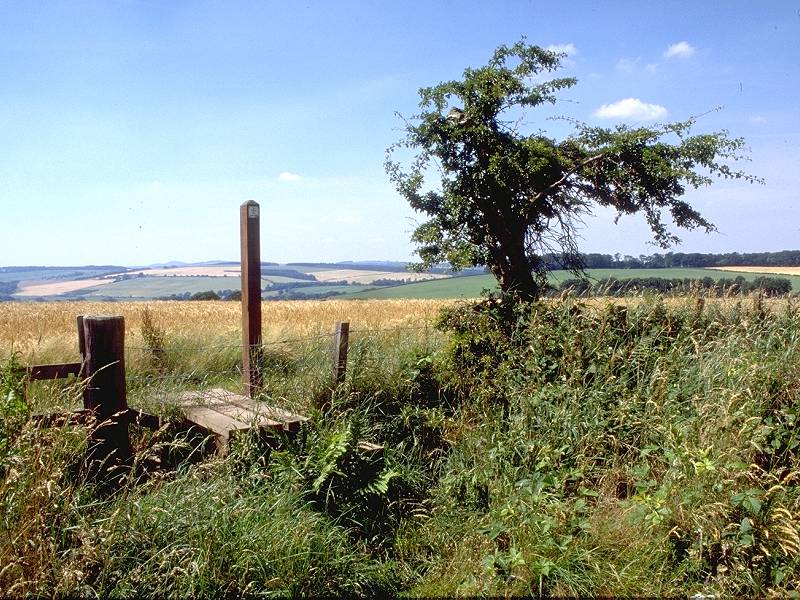
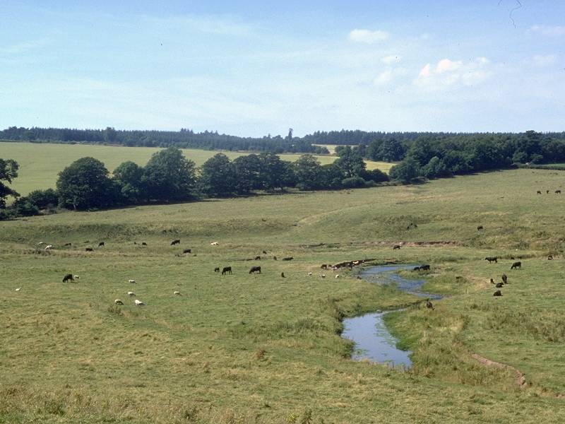
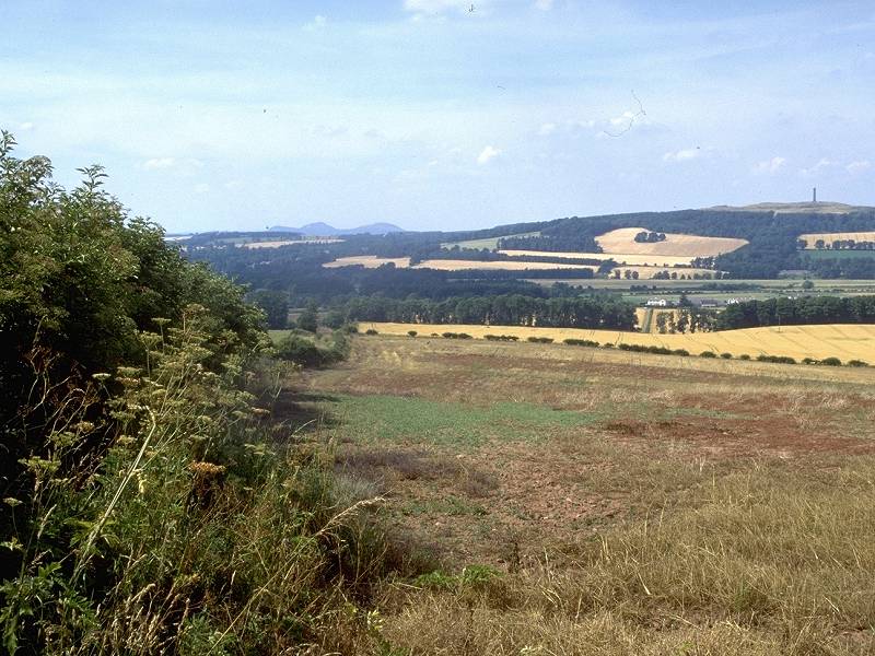
Cessford Moor is moderately hilly, an area of undulating pastureland rising to a height of around 500ft and giving good views of the receding Cheviot ridge behind. The track turns left and enters a long straight stretch running southwest, approaching a plantation that seems to form a barrier across the route but for a narrow gap. I call this narrow gap Cessford Gates, for the reason that it marks a transition from one area to another. You leave the foothills of the Cheviots here, while ahead of you is the vast basin of the river Tweed. Directly you pass through the Gates the twin domes of the Eildon hills, a day or two ahead and overlooking Melrose at the end of St Cuthberts Way, come into view.
Cessford Gates
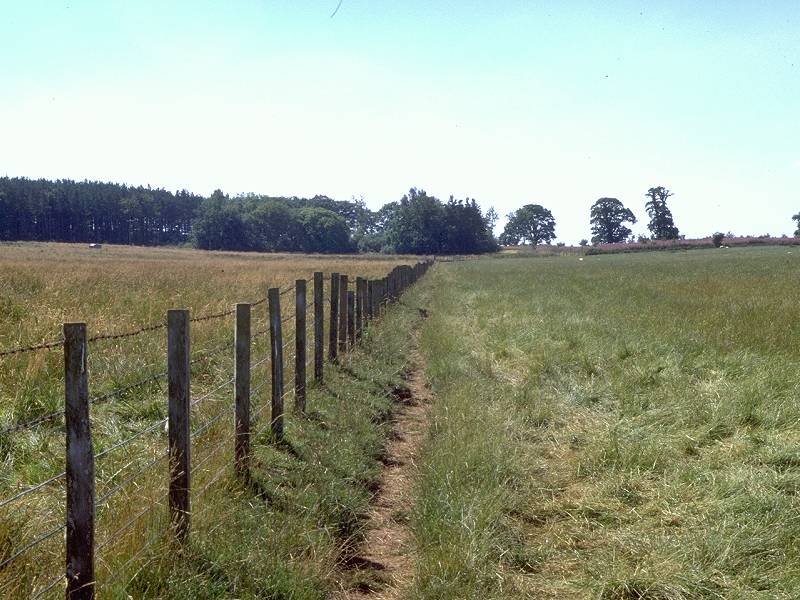
The path following field boundaries north of Cragshielhill Wood
The track continues for a short distance beyond the plantation then reverts to a field boundary path, running in the same direction, to reach Craigshielhill Wood where it turns right.
Pastoral scenes around Cragshielhill
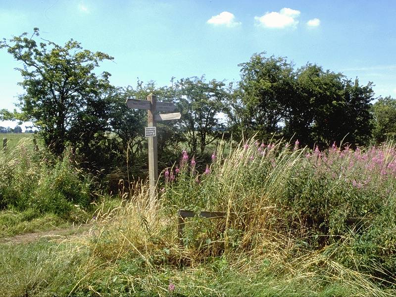
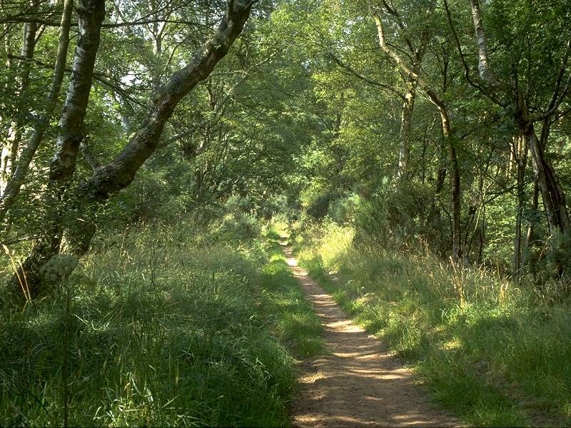
St Cuthberts Way continues to wind its way through the locality of Craigshielhill, an area of mixed woodland, pasture and the occasional cropped field. The views are wide open, particularly to the northwest across the valleys of the Jed and Teviot Water. The Waterloo Monument and the Eildon Hills are prominent.


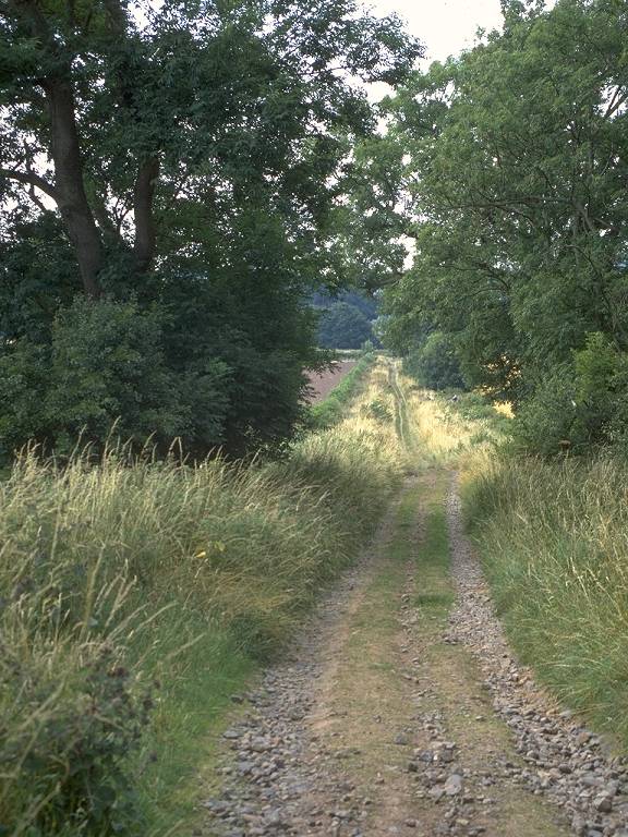
The route of St Cuthberts Way descending through woodland and pastures to Crailinghall
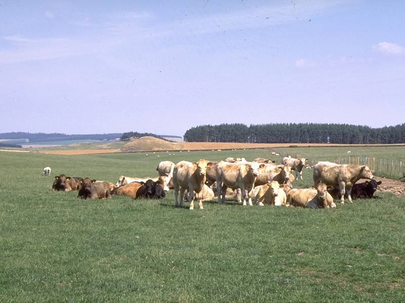
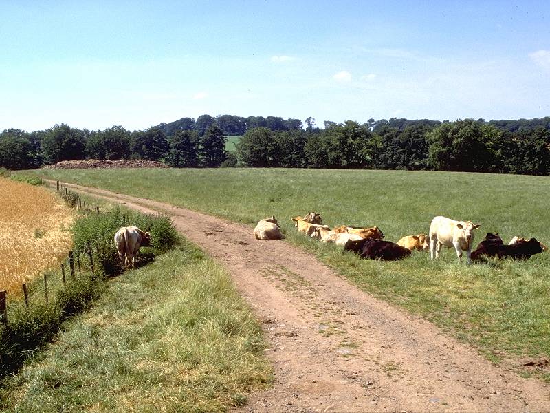
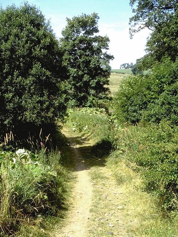
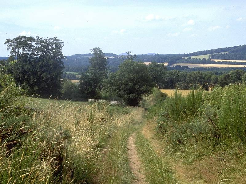
Beyond the woodland plantation of Tod's Dean the route joins a vehicle track once again, and begins to drop downhill towards the locality of Crailinghall. The pastureland theme continues, and you are likely to be regarded curiously by various groups of cattle as you walk. I got the impression that each group had been tipped off by the last, and every individual was gazing at me with a look that said, "och, you'll be that daft bugger walking to John O'Groats then?"


St Cuthberts Way at Crailinghall
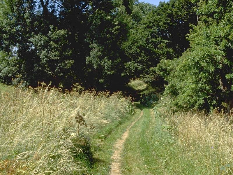
For my money, Crailinghall is the nicest stretch of St Cuthberts Way. The countryside is rich and lush here, the greens vivid and varied, the terrain good, the waymarking discrete but more than adequate, the air fresh and vibrant, the views generous, the countryside open and uncluttered.


St Cuthberts Way at Crailinghall


Crailinghall
Crailinghall, when you reach it, proves to be little more than a cluster of farm buildings set among trees; yet, there is a feeling of both tranquility and prosperity here. The lushness of the vegetation does much to evoke this impression, I think. Crailinghall is most certainly a charming locality.


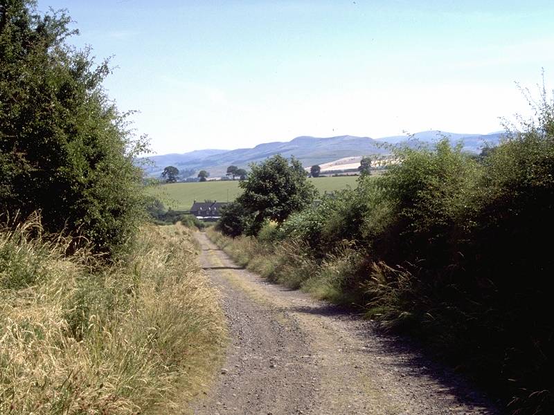
The road network rejoined; more curious cattle; the lane to Cringlebank
At Crailinghall the route comes out onto the road network again. Follow the lane southwestwards for about half a mile to Cringlebank.
Dere Street was one of the network of military roads built by the Romans during their four-hundred year occupation of Britain twenty centuries ago. I originally had about it, save that it was Agricola's route from York to Scotland, so I am indebted to reader Colin Proudfoot for the following information:
"Dere Street is heading for the Firth of Forth around Edinburgh. The mouths of the Avon and the Esk are both candidates, though the line, once it leaves the southern hills, is lost. North of the Eildon Forts at Trimontium (the Tweed crossing leading to an important and substantial base) the Southern Upland Way discovers Dere Street after the climb out of the Tweed Valley at NT540385 and follows it to around Bluecairn. If you walk this section, you will be on no doubt that you are following the Street, it is strange to look back on the track you have just walked and find it is pointing arrow-straight at the tips of the Eildons. North of this area, the Street is lost, with mere suggestions now and then until north of the village of Oxton, where it re-appears on the moorland around NT 472 551 and heads north-west to reach Soutra. The route disappears again in the fertile country below the ridge, though the accepted theory seems to be that it would head for the Forth, reaching it at Musselburgh or Cramond – both places with remains of Roman forts and where it is accepted that Roman ports existed. A journey west form these points, by land or water, will bring you to ports servicing the eastern end of the Antonine Wall."
Thanks, Colin. Dere Street was, of course, the same route that crossed the Cheviots at Chew Green (and how long ago that seems despite being only 3 days' walk back).

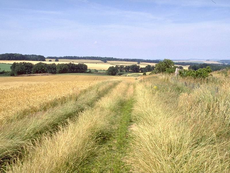
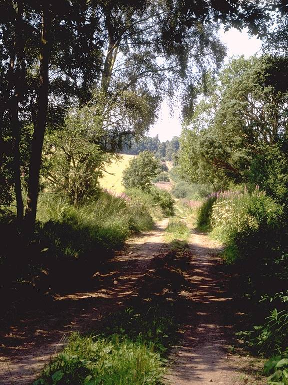
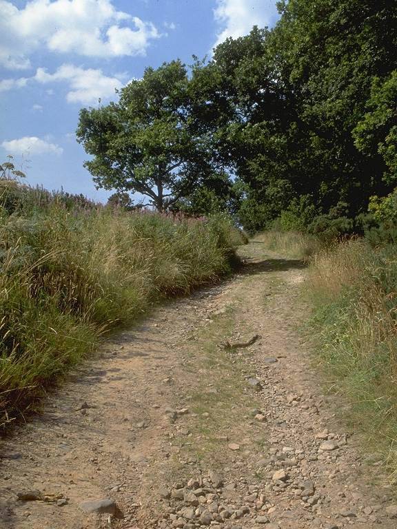
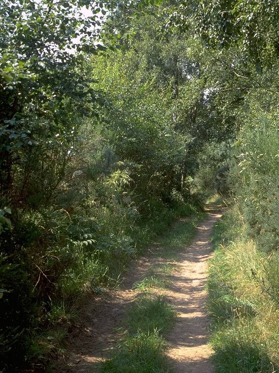
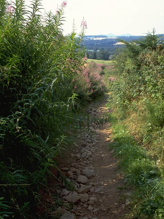
Dere Street would probably have been surfaced during its time as a military road, but nowadays it has reverted to the status of a farm track. Its course is followed, as part of St Cuthbert's Way, for some seven or eight miles from here on. It is interesting to note that Hamish Brown, in his 1992 book on which much of this route is based, reported that the line of Dere Street hereabouts was not then viable as a walking route. After the immediate crossing of Oxnam Water (you can use either the footbridge or the shallow ford), follow Dere Street resolutely northwest.
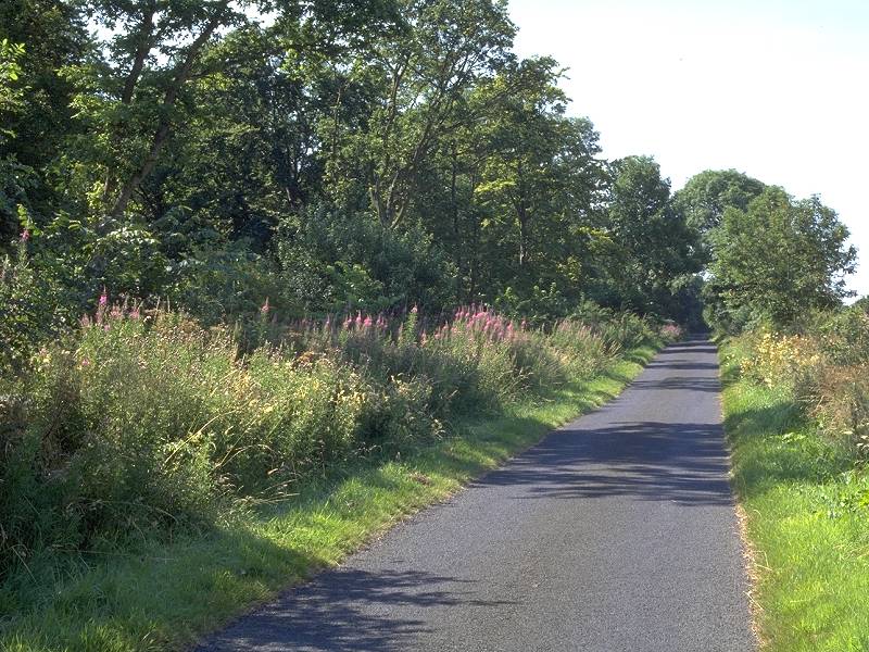
Two views of Dere Street; the Crailinghall-Jedburgh road
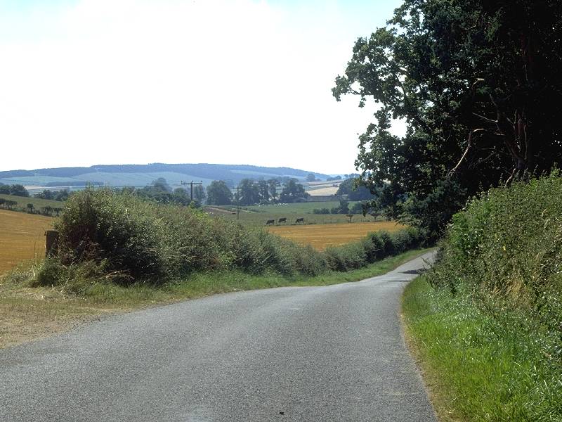
The Street is generally sandwiched between twin rows of trees or hedgerows, a feature not discernible from the map but which does serve to shut out views somewhat. In only 500 yards you cross the motor road from Crailinghall to Jedburgh, currently 3 miles away - a useful escape route if the weather has turned.
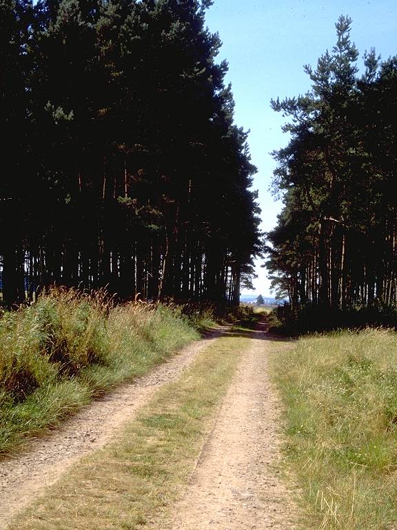
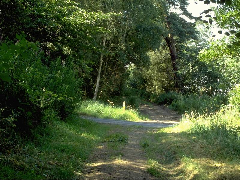
Dere Street through Birnyedge Plantation
The Street stays absolutely straight, rising and falling with the contours, passing through and beside various tree plantations and stretches of natural woodland.
The Street near Baittens Burn
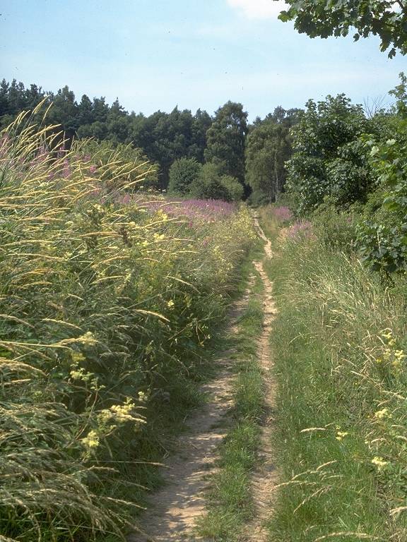
Dere Street at Stubcross Plantation
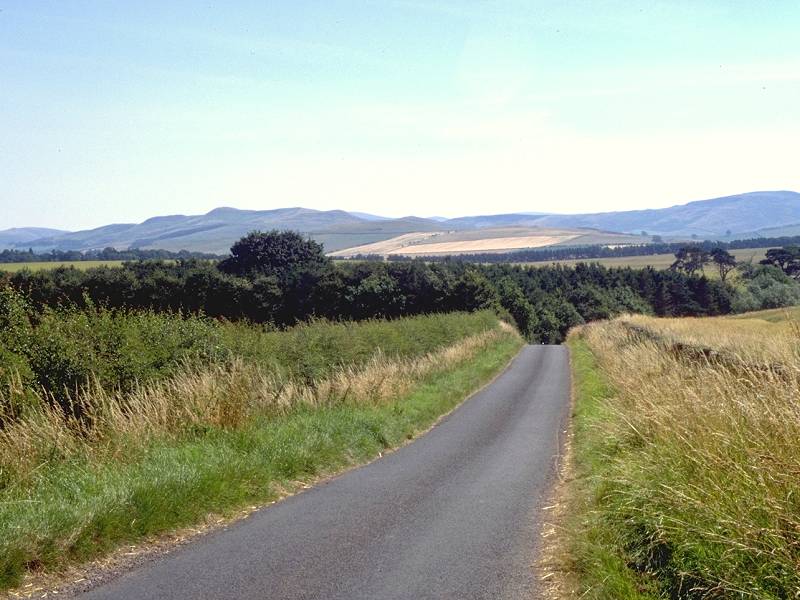
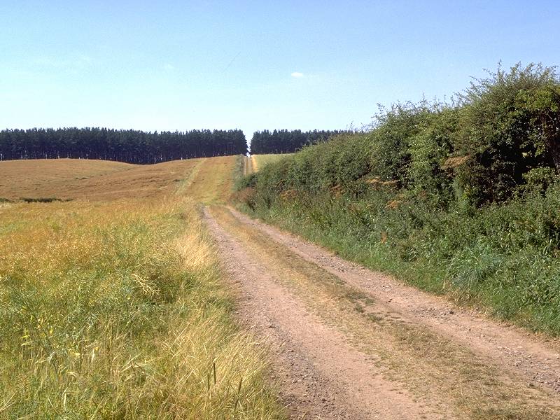
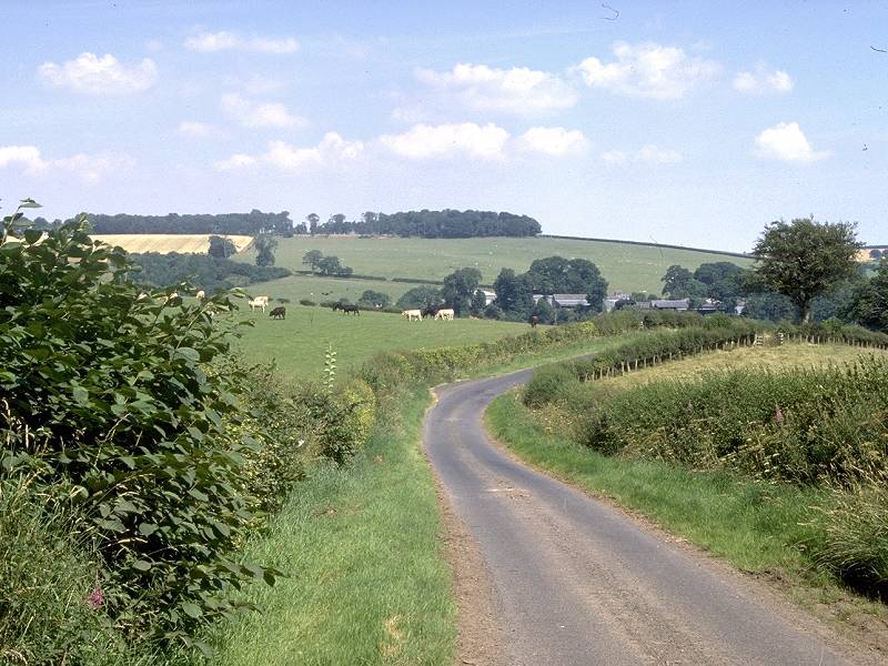
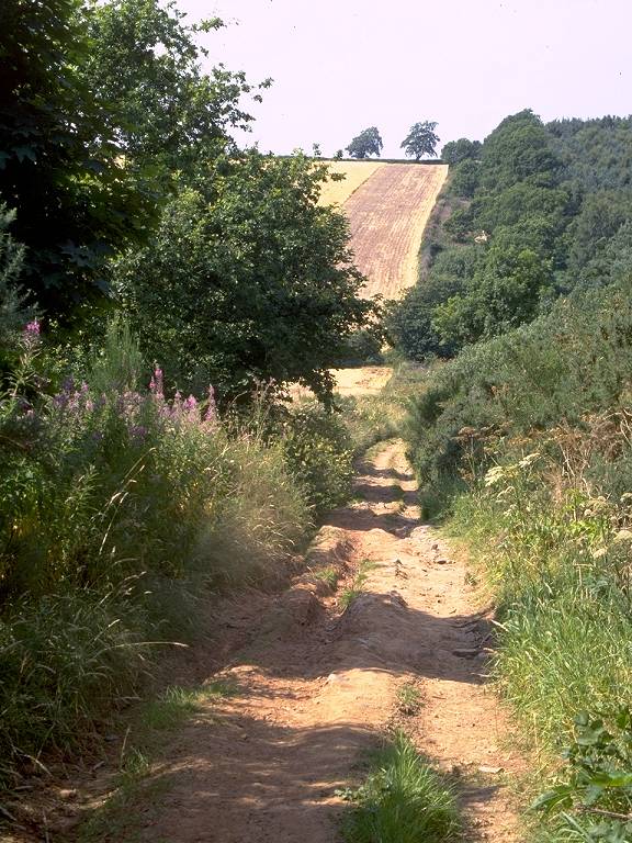
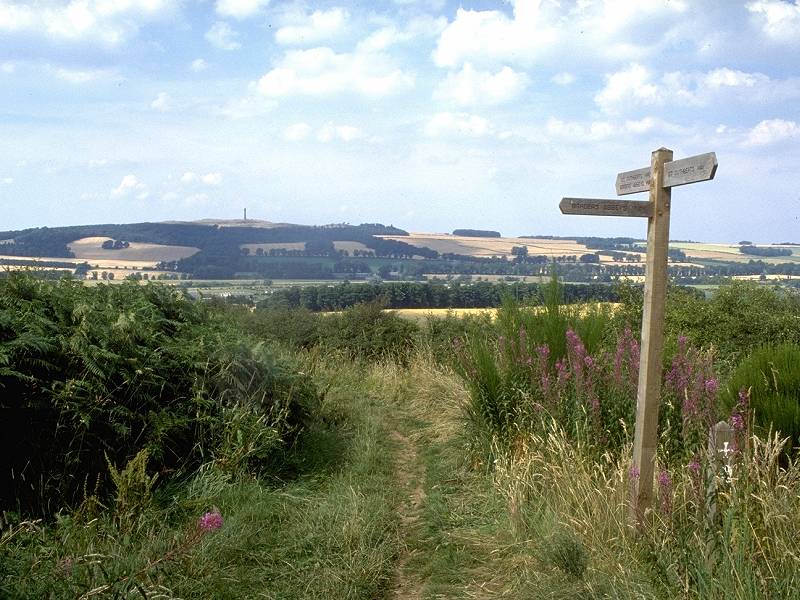
A mile and a half after leaving Crailinghall the Street crosses the route of a second unclassified motor road - this one also heading to Jedburgh, from the Crailing direction - and then continues, without deflection, over the rises and falls of the land through Stubcross plantation. At the far end of the wood more open country is reached and there is something of a view forwards down to the Teviot valley. The Waterloo Monument on Peniel Heugh is prominent some three miles away slightly to the right of our route, with the Eildons looking closer at hand than they did from Morebattle this morning.
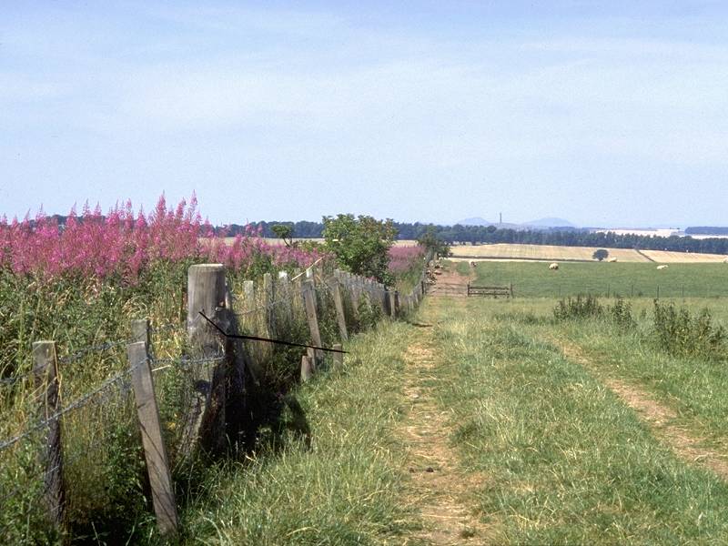
The view over the Teviot valley; descending to Jedfoot Bridge; we join the Borders Abbey Way
The route descends to the valley floor. As it does so a footpath junction pointer is seen, confirming that St Cuthbert's Way / Dere St has been joined by the route of the Borders Abbey Way, here en-route between Kelso and Jedburgh. Shortly afterwards the route merges with a motor road, the unclassified road on the east bank of the Jed Water leading into Jedburgh.
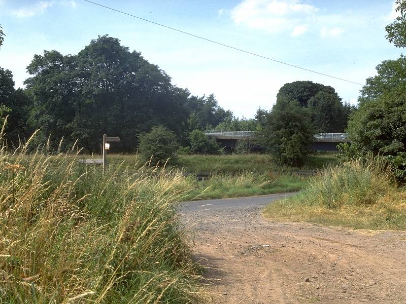
Approaching Jedfoot Bridge at the Teviot valley; Dere St merges with the road
There are but a few short yards of road to walk before the lane reaches the A698 main road from Bonjedward junction to Kelso. If you started from Jedburgh this morning and reached Kelso by bus, you came this way. Cross the road and walk to the left, over Jedfoot Bridge itself. The days walk ends officially here but you might like (as I did) to explore the left bank of the Jed Water northwards for a few yards. After a hundred yards a local footpath enters from the left - use this as an alternative breakpoint which may be joined on the morrow.

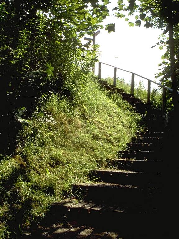

Jedfoot Bridge; The steps down to the path; the Jed Water's left bank north of the bridge.
If you're staying at Jedburgh tonight, walk back the way you came for a short distance; instead of rejoining Dere Street stay on the motor road and follow it into town. Otherwise walk westwards along the main road to Bonjedward junction, six hundred yards away, and await your bus connection. Note that this is a triangular junction and that you will need to wait on a different leg of the triangle depending on which way your bus is going.
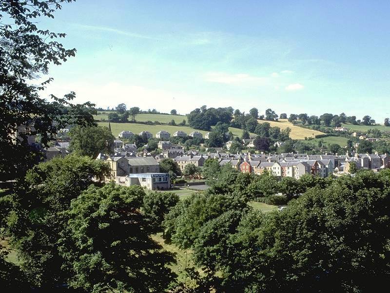


A Jedburgh photo album
Jedburgh has local buses to St Boswells,
Galashiels,
Kelso and Edinburgh as well as thrice-daily express services between
Edinburgh
and Newcastle - seats on the express coaches should be pre-booked at
the
tourist office.
| Kirk Yetholm to Morebattle | Back to South of Scotland Way index | Jedfoot Bridge to St Boswells |
This page last updated 25th February 2006
![]()