| Kirknewton to Winchburgh | Back to South of Scotland Way index | Linlithgow to Falkirk |
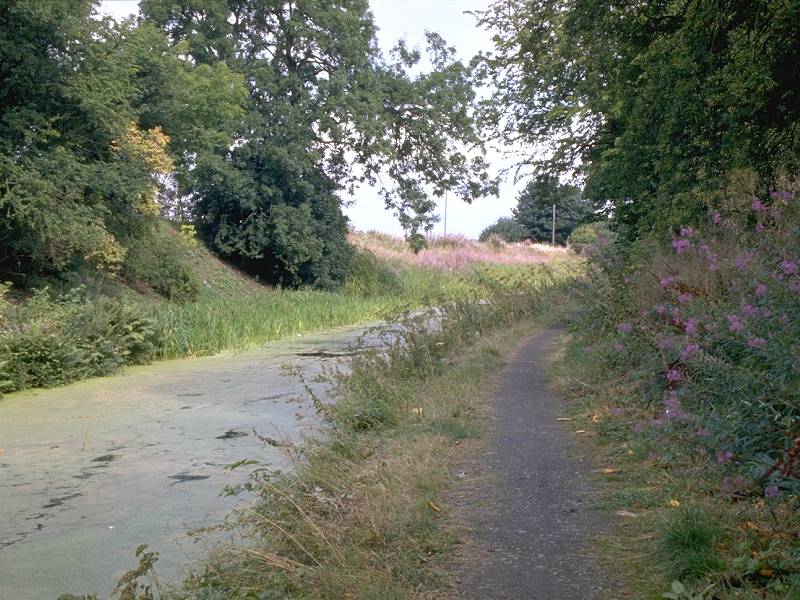
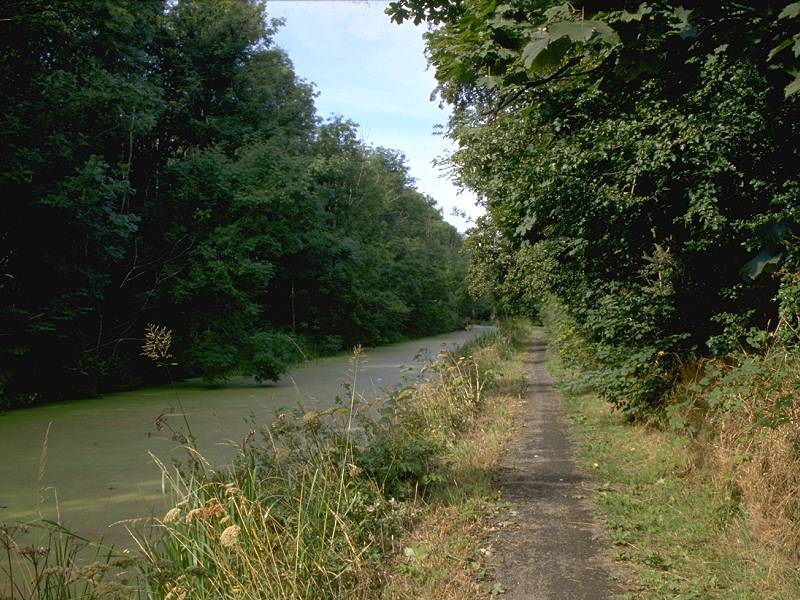
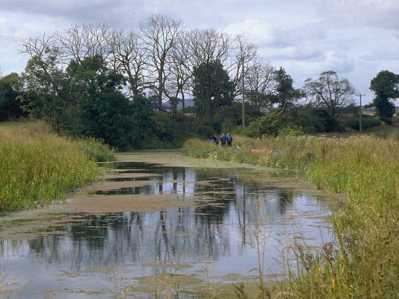
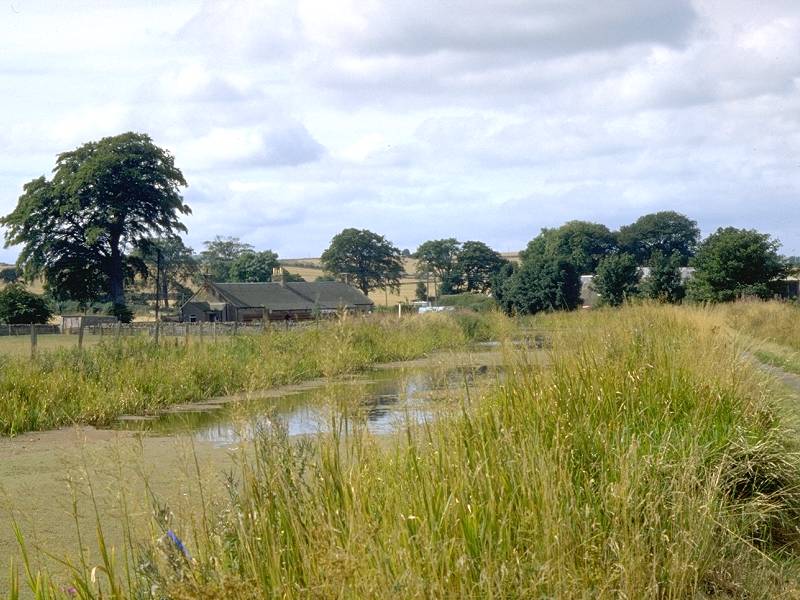
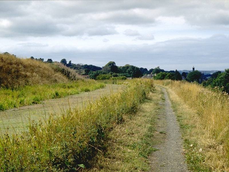
The gentle curves of the canal complement the open countryside and occasional copses of woodland that comprise this part of West Lothian. The industrial landscapes of the previous section have mellowed; though you will still glimpse motorways, power lines and distant townscapes the industrial estates, quarries and spoil heaps are thankfully behind us and we now enjoy the pleasing backdrop of the Ochil hills to the north. Sadly, the canal itself is largely stagnant and much of its surface is an impenetrable carpet of green algae during the summer. In future, assuming that navigation can be restored, pleasure craft will ply the canal once more and the water will clear.
The walk is easily tackled from pretty nearly anywhere within
central
Scotland, though Edinburgh is the best base; the Stirling bus service
calls
at Winchburgh to get you to the start of the walk, while Linlithgow
lies
fifteen minutes' rail journey from the capital and has up to four
trains
an hour. There are no facilities of any kind on route (and even
"comfort
breaks" can be tricky).
Maps: OS 1:25000 Explorer 350 (Edinburgh), 349 (Falkirk)
Click on any thumbnail image in this gallery to display the corresponding full size image. The images are access protected through a cgi script to prevent hotlinking. If you encounter problems while trying to view the full size images, please read the access advice page.
Photographic note: the day I did this walk in August 1995 was bright, though only intermittently sunny. The present images will, at some time in the future, be replaced by a superior set.
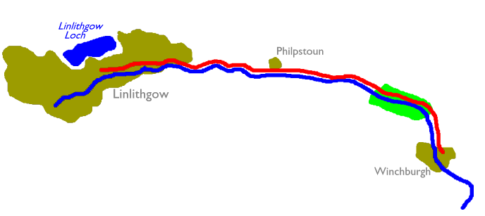
The walk begins at the road junction that marks the centre of Winchburgh. Walk along the road some 300 yards to the west, where just before the bridgeyou will find a slip path to your right. This path leads down a slope and merges with the canal towpath. The canal is heading almost due north at this point, but almost immediately it begins a long curve to the left, coming hard up against the Edinburgh-Glasgow railway line at one point.
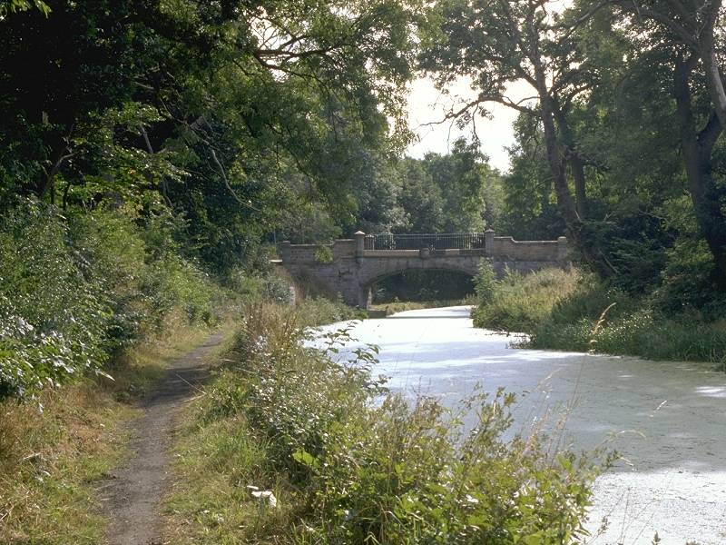
After about half a mile, and still within the long left-hand curve, the towpath enters a wooded section. (This is where the railway line comes closest). You pass a fairly elegant little bridge, whose purpose is unclear save that it carries a narrow vehicle track into the wood on the opposite bank. The canal pulls out of the curve at last and continues, heading just north of west now, for a mile towards the locality of Craigton. The only feature in this stretch is another bridge carrying another track into the wood.
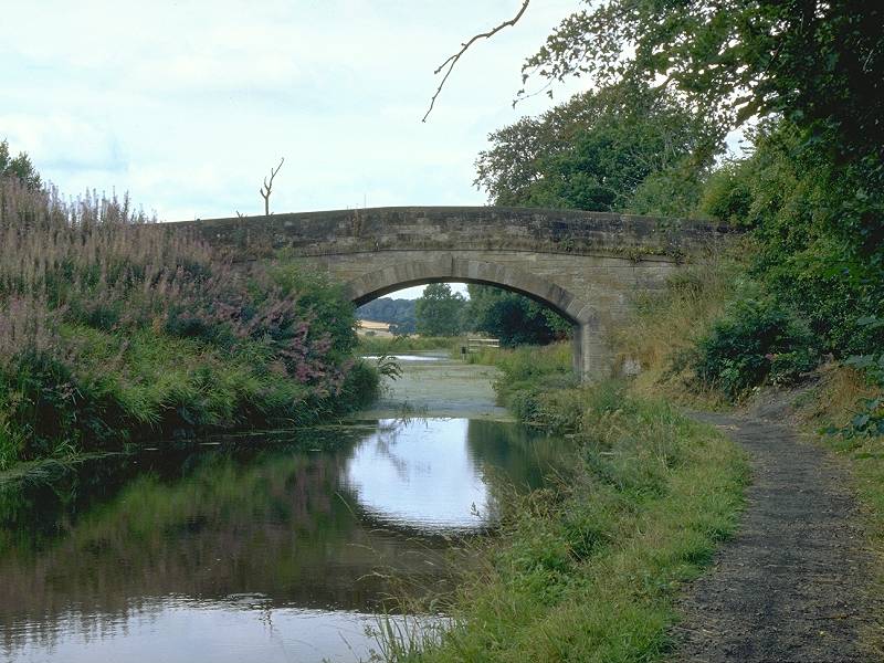
The bridge at Craigton carries an unclassified motor road across the canal, one of only three on the whole section to Linlithgow. The canal goes round a handful of apparently unnecessary curves just beyond here before passing an old quarry on the opposite bank, whereupon it straightens out a bit before arriving at Philpstoun.
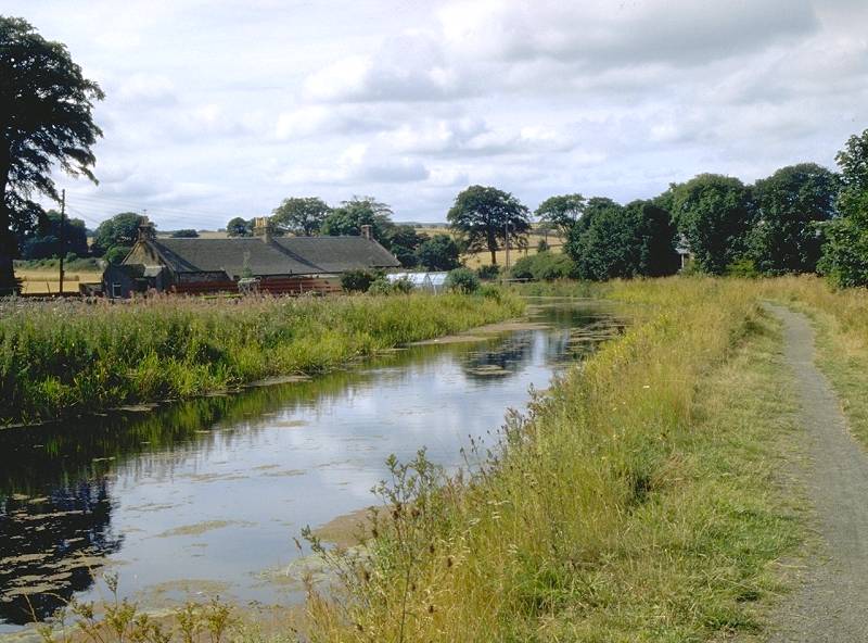
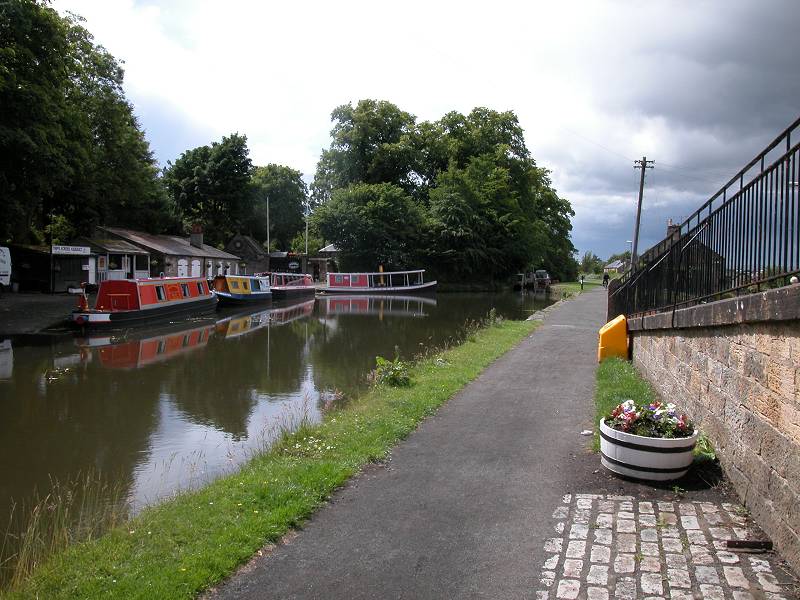
Two views of the Forth-Clyde Canal near Philpstoun
Philpstoun isn't a town, despite its name; it barely even qualifies as a village. The wood to your right is named as Philpstoun Muir (an old Scots word for Moor), and the next road bridge you reach leads to Old Philpstoun and Philpstoun Mill. There's a more open area beyond this bridge, beyond which you come to the tiny cluster of buildings that is Philpstoun proper. A mile or so to your right you might notice a significant building half hidden in trees near an isolated hilltop. This is the Binns, a modest stately home and currently the residence of the local MP, Tam Dalyell. Tam is an interesting figure, a socialist campaigner and something of a maverick, but one who is honest and dedicated, and always very sure of his facts. He's certainly the only Labour MP to live in a stately home.
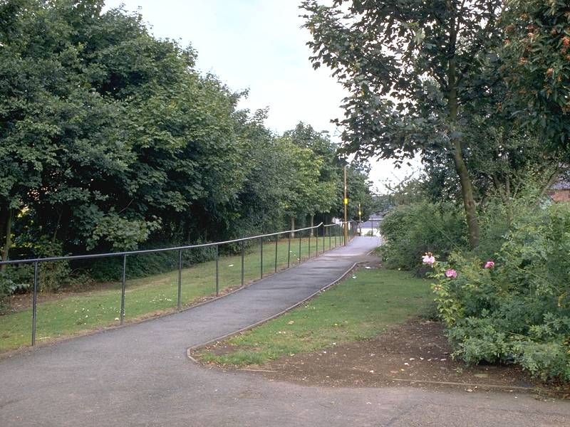
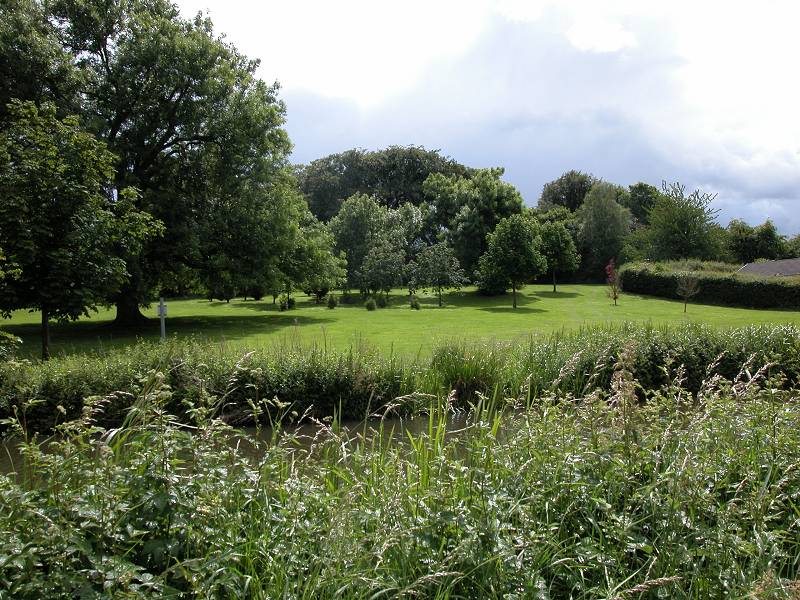
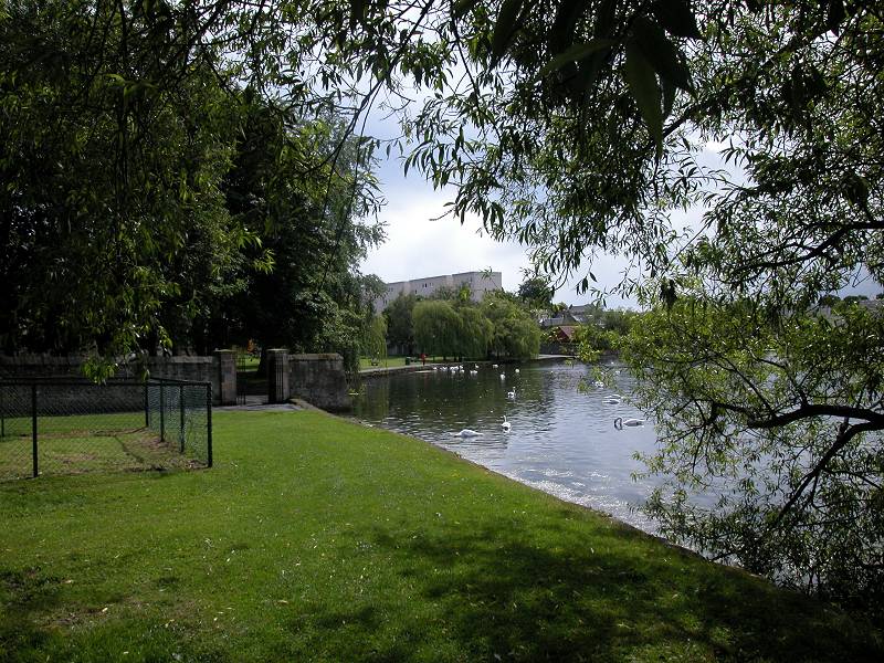
The traffic is likely to increase; you may meet walkers, fishermen and cyclists on the towpath, and perhaps see canoeists on the canal itself. You slide into Linlithgow almost without warning and, before you know it, you spot the platforms of the railway station immediately to your right. There's a small canal basin just beyond, where the Linlithgow Union Canal Society run a small museum and have a working canal boat on which they run short pleasure trips. There's an inviting little park opposite the basin.
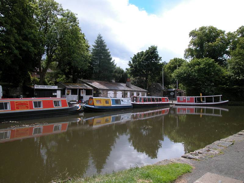
Linlithgow station and the canal basin
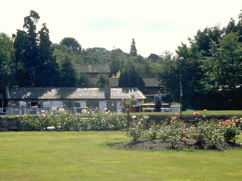
Gardens near the station
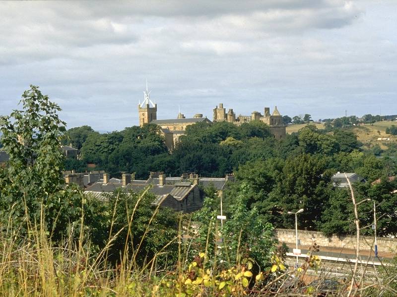
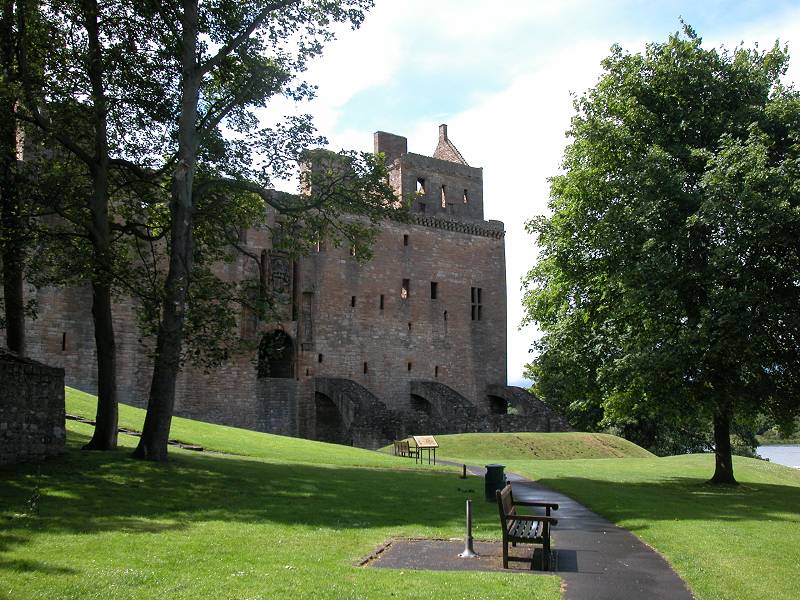
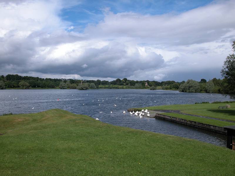
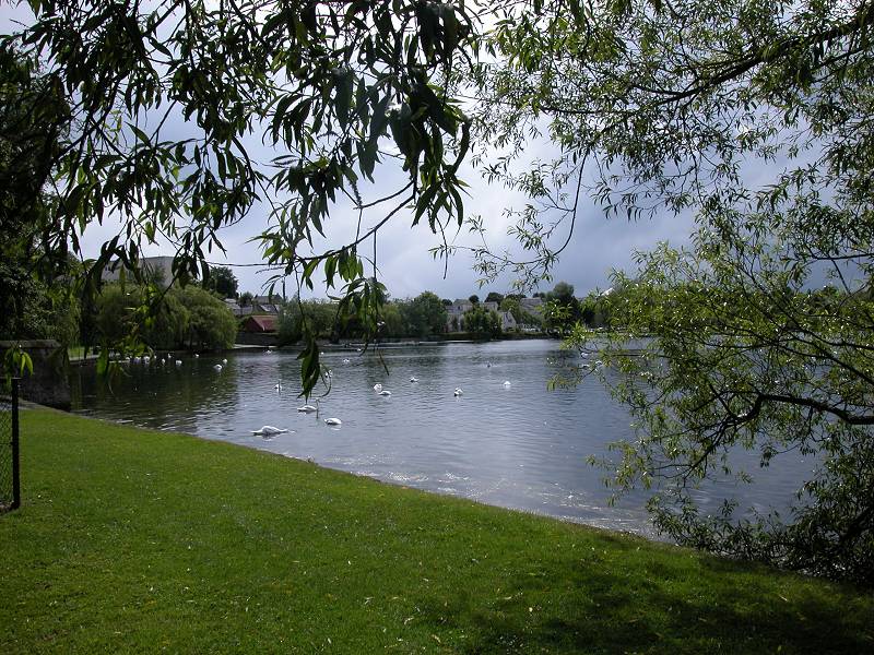
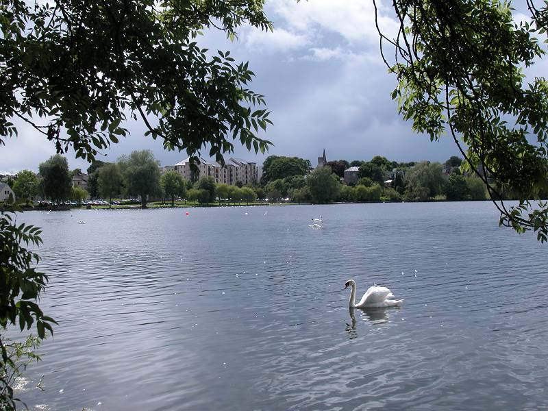
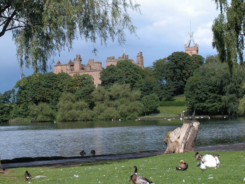
Linlithgow is an old town and is built round its sixteenth century palace, apparently the birthplace of Mary, Queen of Scots. Beyond the palace to the north is Linlithgow Loch, a body of water almost half a square kilometer in area that looks very inviting on the map but which proves to be curiously unscenic. The other obvious town landmark is the aluminium cross on the church tower, the town's single most distinctive structure but reputedly a source of controversy.
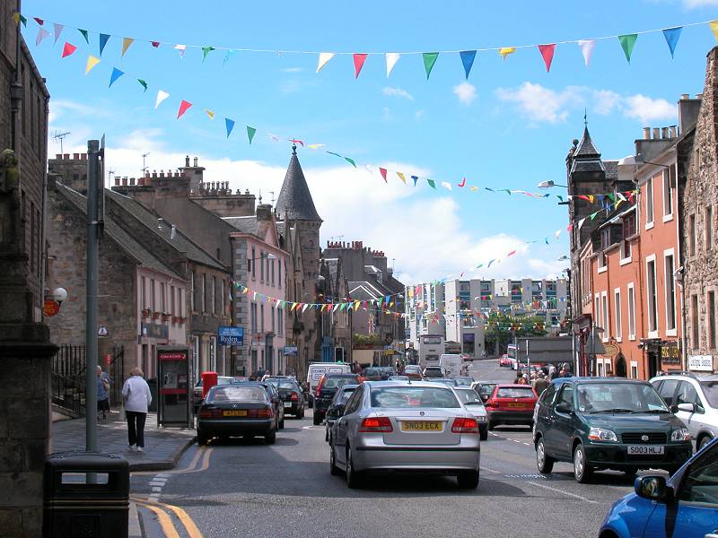
Linlithgow High Street
There are opportunities for lunch in Linlithgow; a cafe or one of the inns will provide a satisfying snack, or you could just get a prepacked sandwich and munch it in the palace grounds. If you still feel fresh and wish to press on, you could continue on the towpath to Polmont; otherwise make your way up to the station for the train back to Edinburgh or Glasgow.
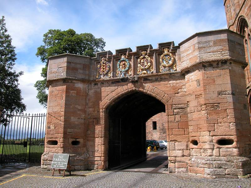
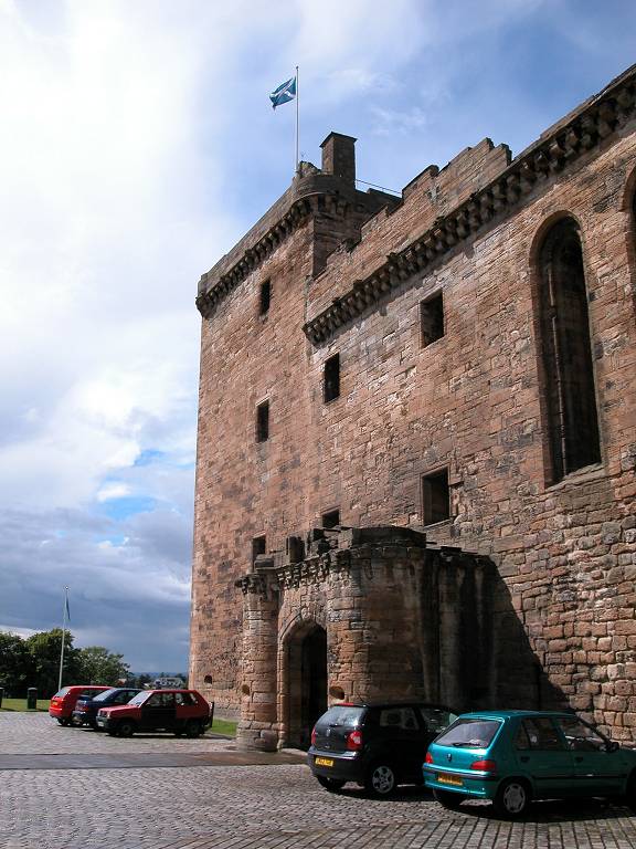
Linlithgow Castle
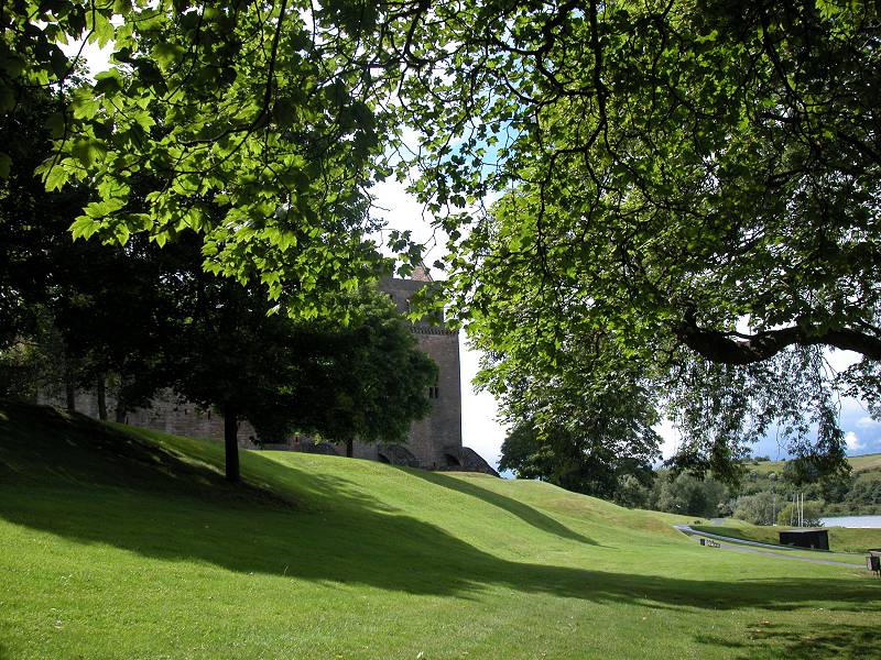

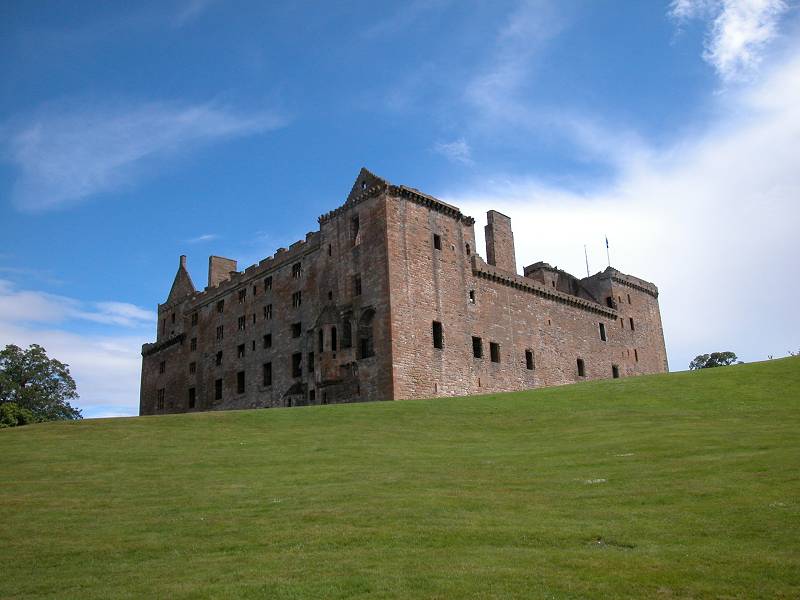
Linlithgow Castle and loch
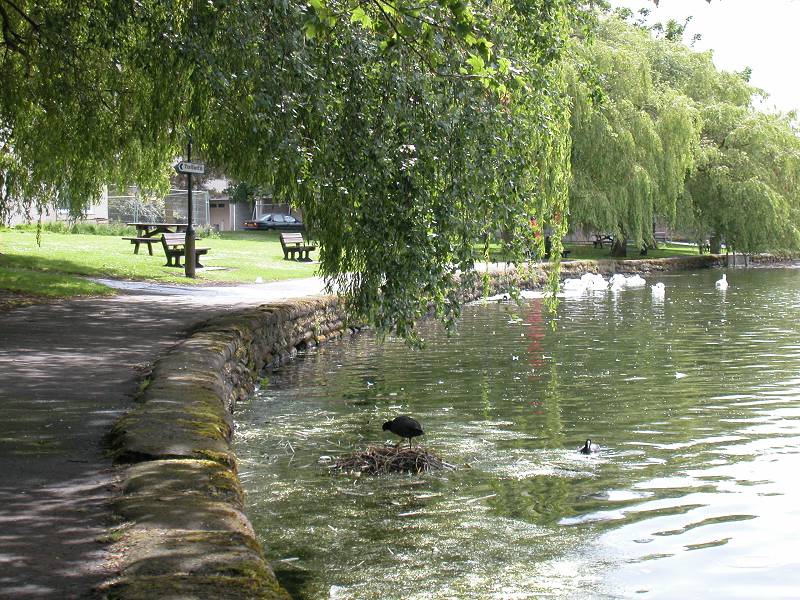
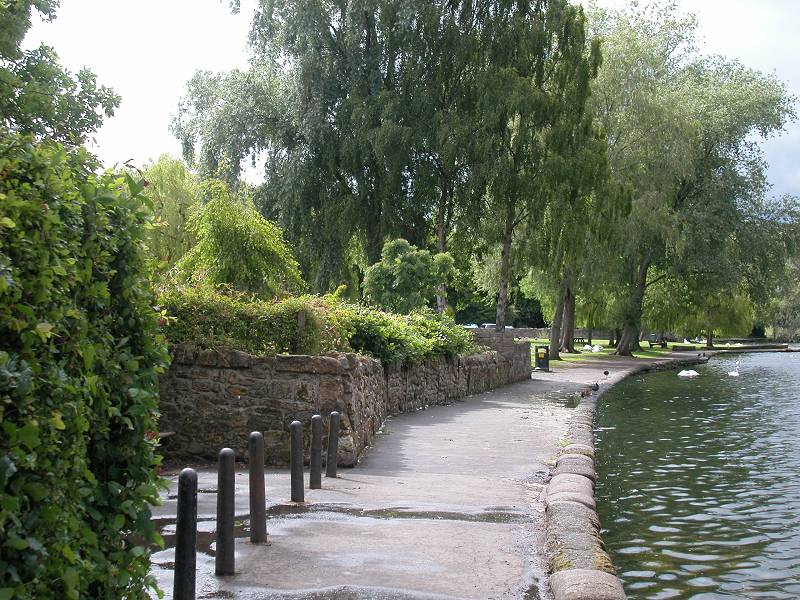
Linlithgow Loch and lochside gardens
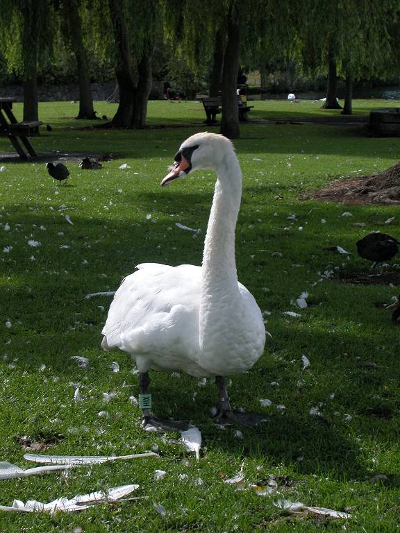
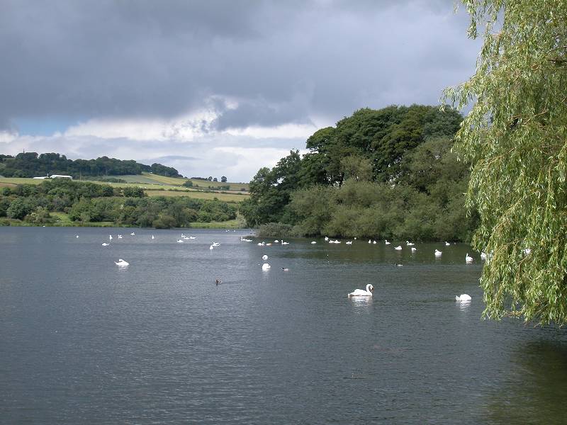
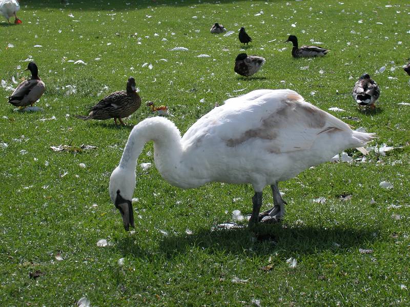
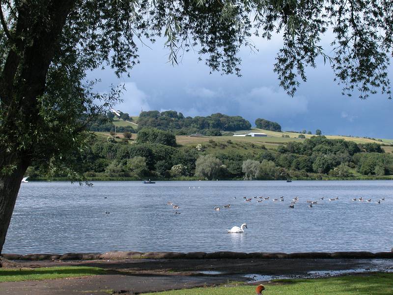
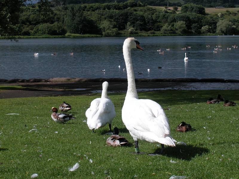
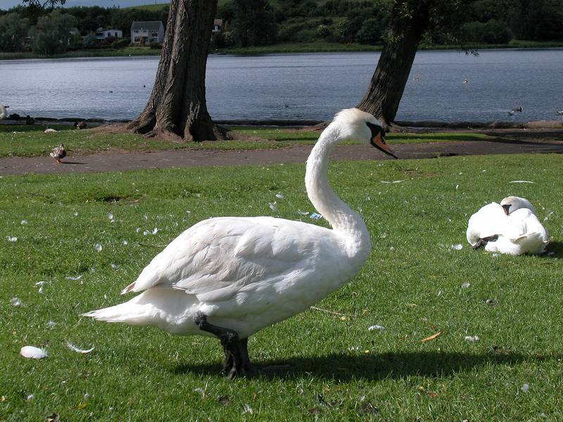
Wildfowl at Linlithgow loch
Linlithgow loch and castle
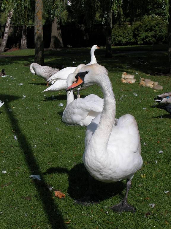
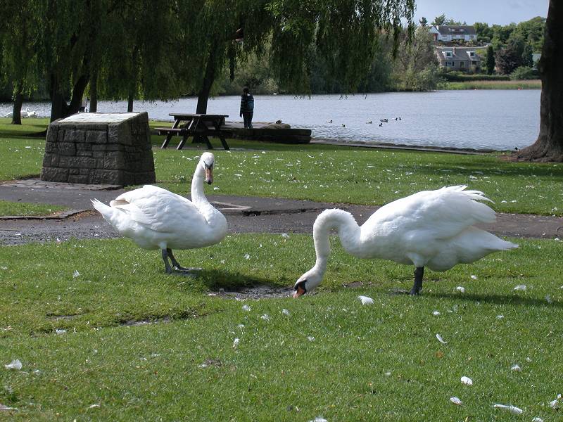
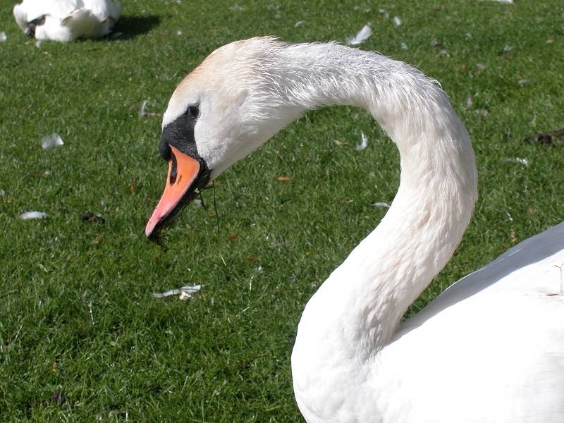
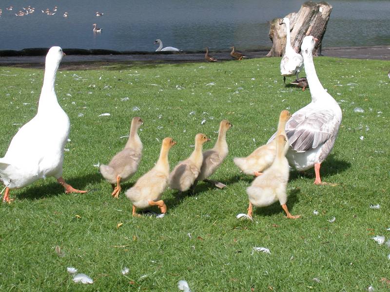
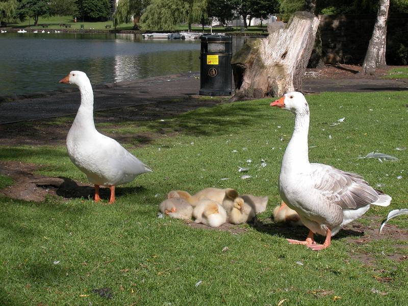
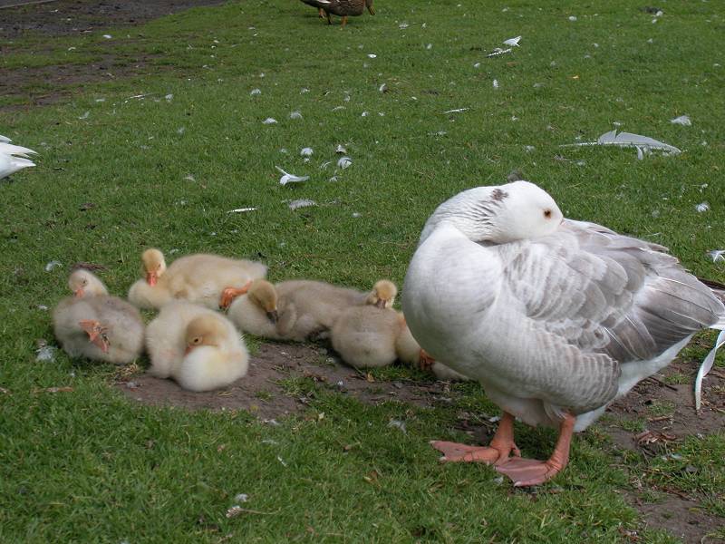
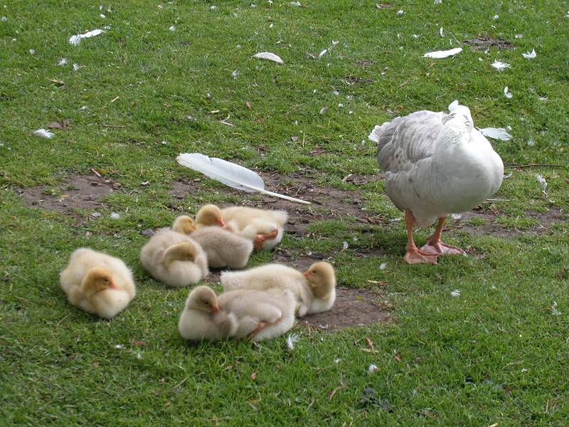
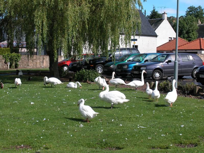
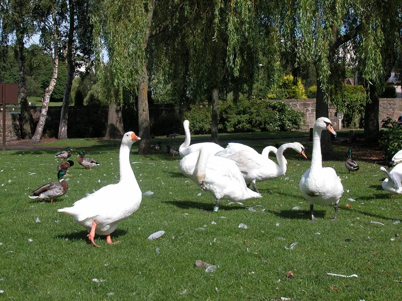
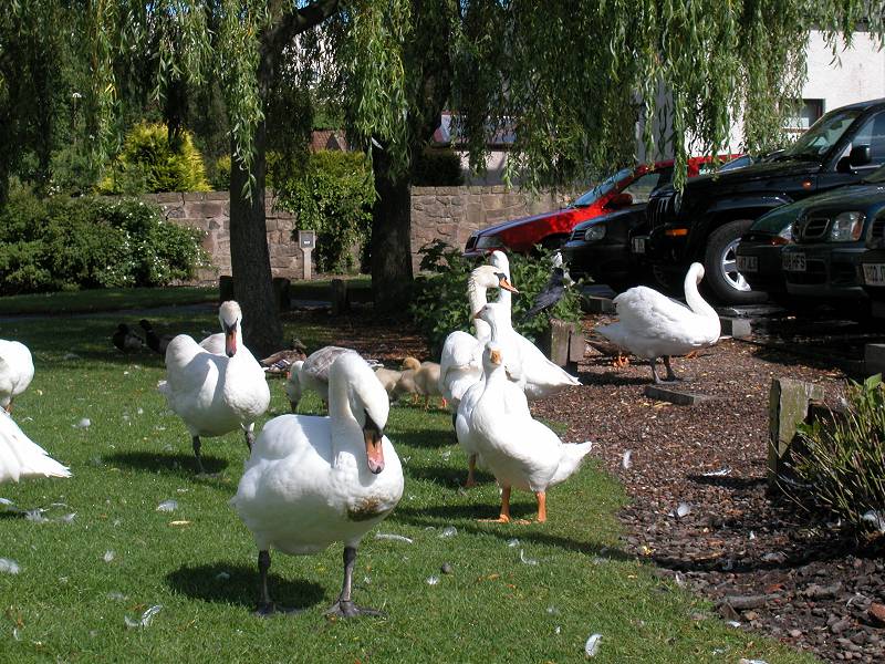
Swans, geese and ducks at Linlithgow loch
|
£3.25
inclusive
of postage / packing. |
| Kirknewton to Winchburgh | Back to South of Scotland Way index | Linlithgow to Falkirk |
This page last updated 6th July 2004
![]()