| Thornton in Craven to Malham | Back to Pennine Way index | Dale Head to Horton-in-Ribblesdale |
| Thornton in Craven to Malham | Back to Pennine Way index | Dale Head to Horton-in-Ribblesdale |
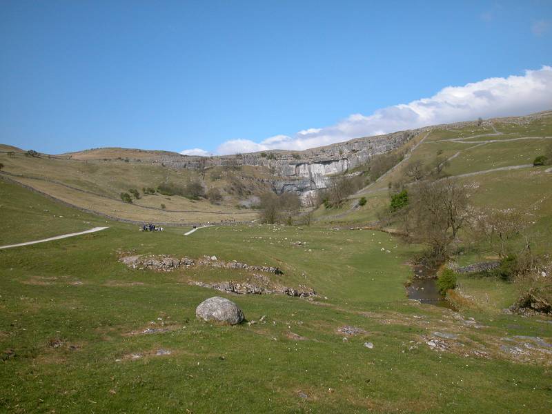
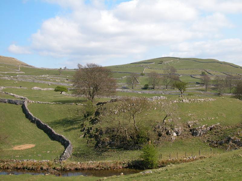
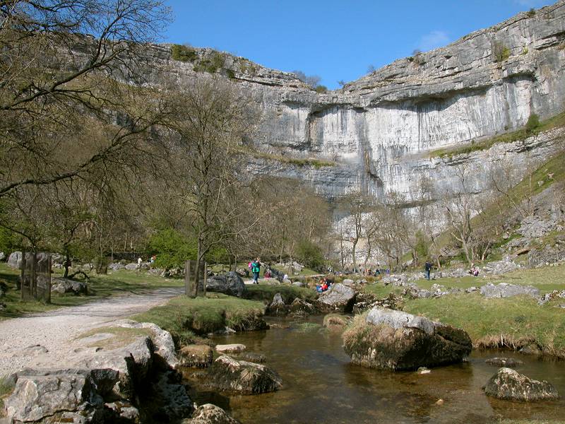
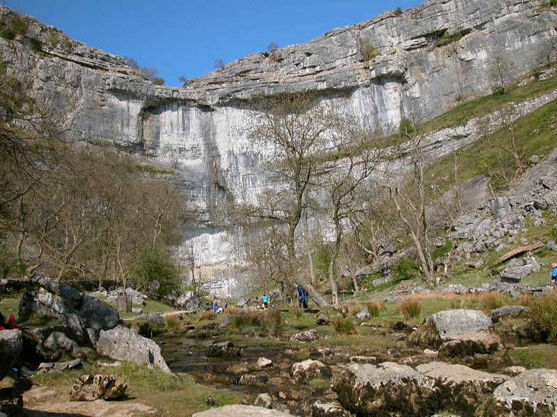
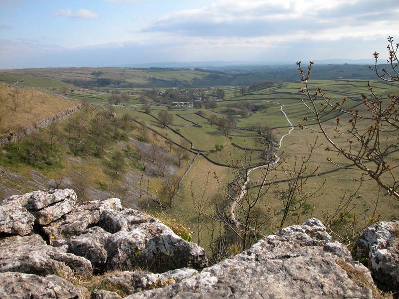
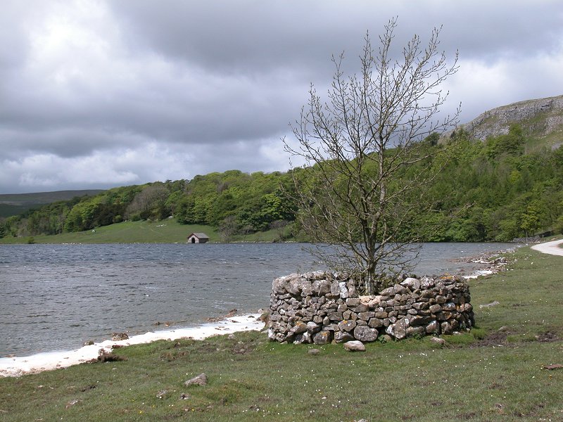
The cove is a natural amphitheatre backed by a sheer 300-ft cliff of naked limestone, part of the mid-Craven fault. Malham Beck, a crystal stream if ever there was one, issues from a tiny slit at the base of the cliff and wanders southwards to the village, not quite a mile away, through emerald green pastures so typical of limestone country. Above the cove is Britain's best known area of "limestone pavement" or karst, a massive sill of rock weathered into slabs and rent with fissures within which semi-exotic lime-loving plants have taken root. Behind the karst pavement the dry valley of Watlowes, a miniature ravine walled with limestone crags, heads northwards up to Malham Moor, where you find the feature known as "watersinks" - the stream issuing from Malham Tarn disappears into the bedrock here, to reappear three miles south at Aire Head Springs. Malham Tarn itself, a strange anomaly in limestone country, is fringed with beautiful woodlands and is itself backed by the limestone cliffs of the North Craven fault.
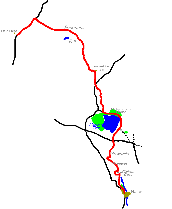
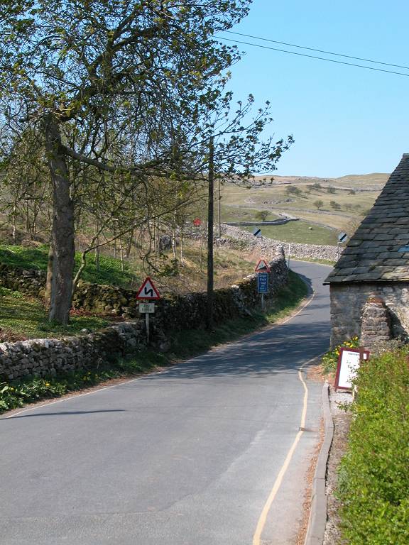
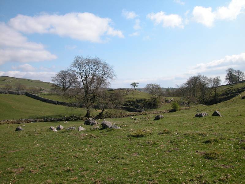
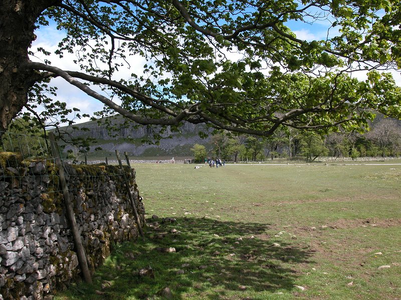
Beyond the environs of Malham the Pennine Way reverts to type somewhat, traversing the wide, lonely rough pastures of the Yorkshire Dales among scenery made world famous by the BBC's James Herriot films. After crossing the Littondale road at Tennant Gill farm, the PW rises across the flanks of Fountains Fell to reach an elevation of almost 2,200ft, the highest ground yet attained on the End-to-End walk. A steeper descent to the even lonelier Stainforth - Halton Gill road follows, with a road walk to the southwest as far as the col at Dale Head to conclude the day.
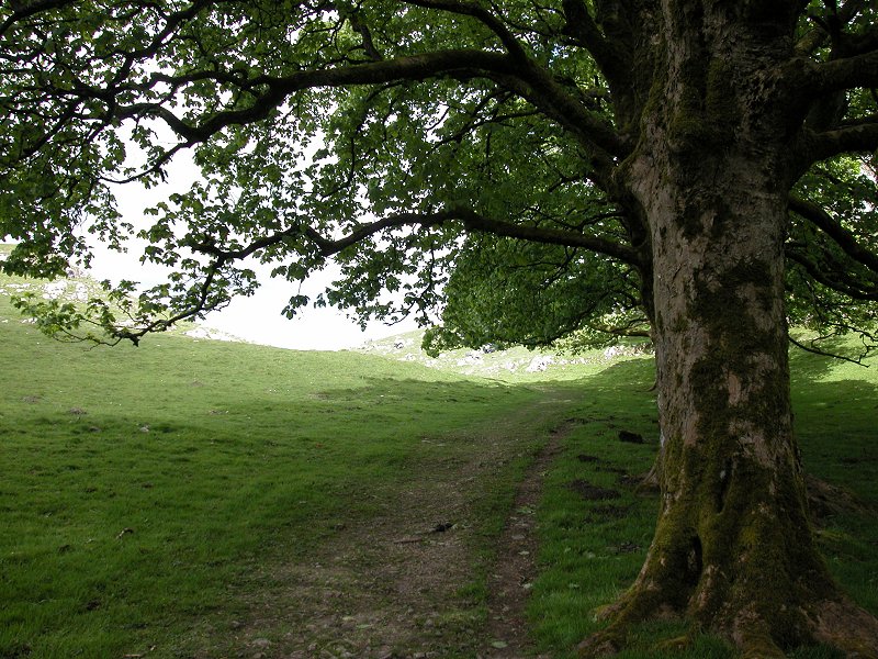
Dale Head is in the middle of nowhere and there is no bus service - you have to walk out. Most walkers will combine this section with the following one, the five and a half mile traverse of Pen-y-Ghent that finishes at Horton in Ribblesdale. Given that Pen-y-Ghent is even higher than Fountains Fell this does make the day a bit too strenuous for some. There is a less strenuous and more direct route to Horton, of some three and a half miles, though even this involves a couple of hundred feet of ascent. The third and final option is to walk back to Malham itself, eight miles away by road.
Finally, Malham is surrounded by so many
other
scenic highlights that a day or two "at leisure" here is an option
taken
by many Pennine Wayfarers. A very popular "tourist round" takes in
Janet's
Foss and Gordale Scar (a twisting ravine, part of the mid-Craven
fault),
while longer hiking expeditions to Grassington or Horton, or an
excursion
to Skipton, are also worth considering. For lovers of strange and
wonderful
scenery, Malham is worth a long stay.
|
|
|
| Length: | 9.93 miles / 16.0 km |
| Total ascent: | 2212 ft / 674 m |
| Total descent: | 1488 ft / 552 m |
| Estimated time: | 3 hrs 59 mins |
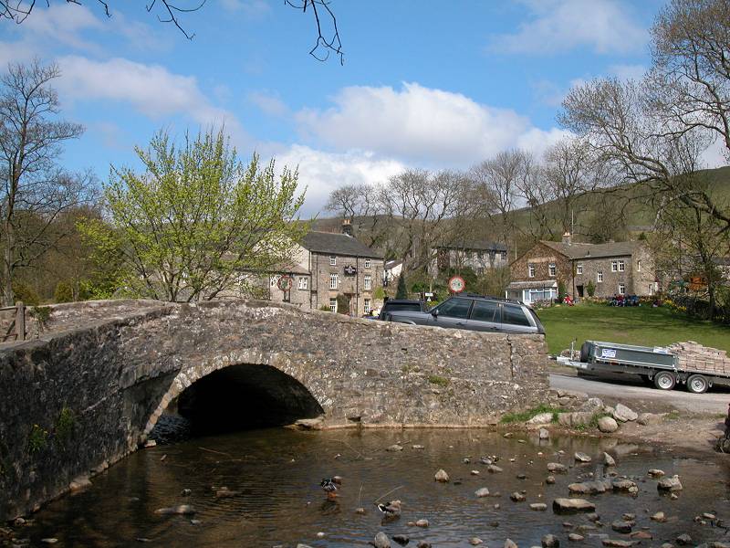
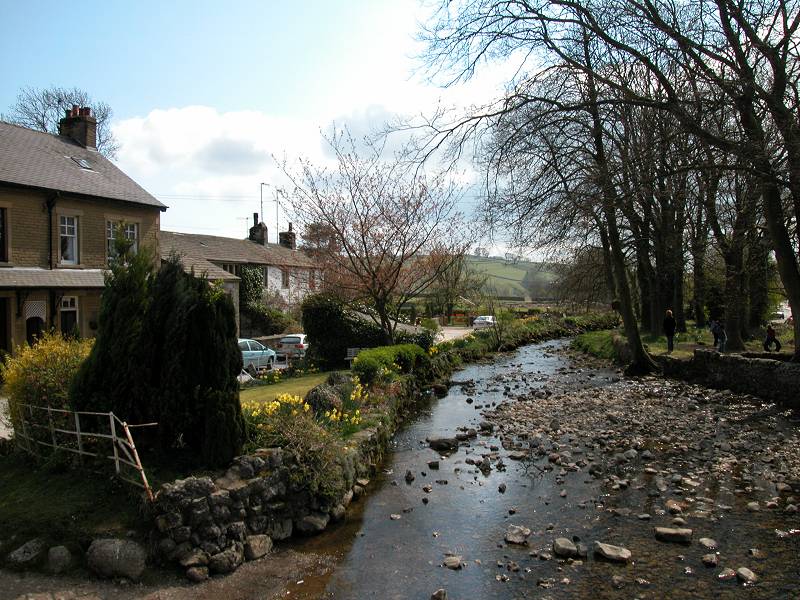
Malham
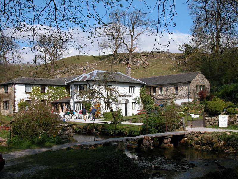
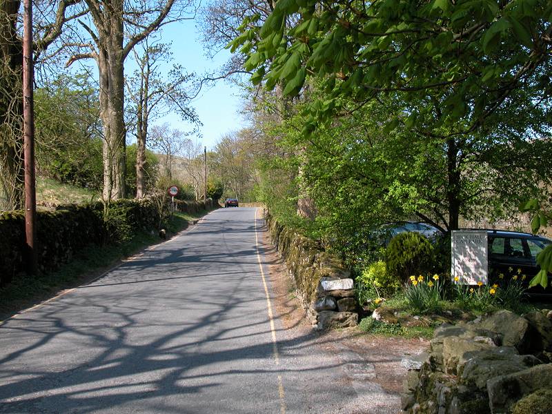
Malham is the archetypal Yorkshire Dales village, pretty as a picture and surrounded by around a hundred square miles of awesomely beautiful limestone scenery. It reckons to get something around a million visitors a year (many of them school parties on geological field trips), and the National Park impose some pretty strict planning laws to keep it "just so". The car park is kept out of sight to the southwest of the village, no other parking is allowed for non residents, there are no litter bins. It's the classical dilemma of a place that's so appealing that it risks its very appeal being ruined by visitor numbers. The balance is never an easy one, but it seems to be struck successfully. (For more images of Malham see the previous page).
![]() Postbus
service Skipton - Malham (Mon - Fri)
Postbus
service Skipton - Malham (Mon - Fri)
![]() Arriva
Service
210 Skipton - Malham (Sat)
Arriva
Service
210 Skipton - Malham (Sat)
![]() Arriva
Service
804 Wakefield - Leeds - Skipton - Malham (Sat/Sun/Bank
Holidays)
Arriva
Service
804 Wakefield - Leeds - Skipton - Malham (Sat/Sun/Bank
Holidays)
![]() Rail
connections at Skipton via Leeds
- Skipton - Settle - Carlisle line
Rail
connections at Skipton via Leeds
- Skipton - Settle - Carlisle line
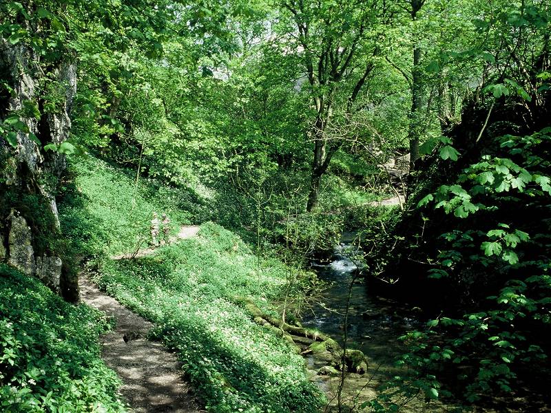
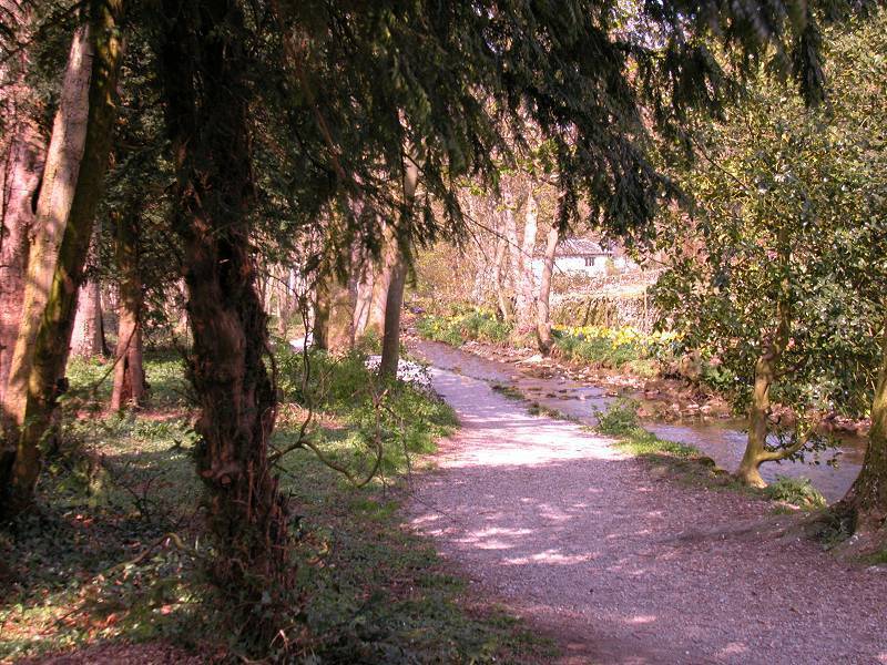
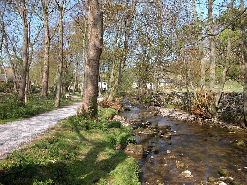
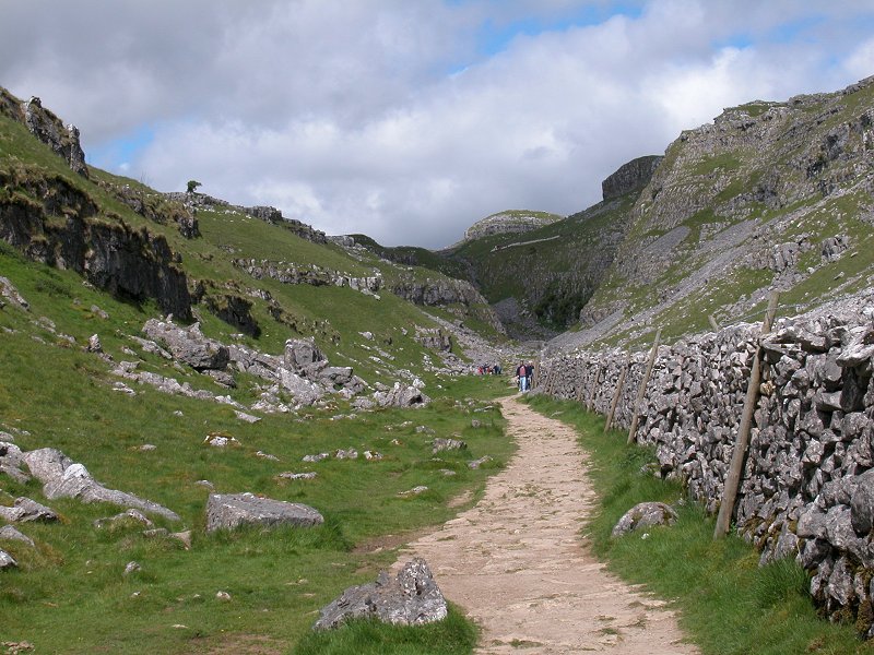
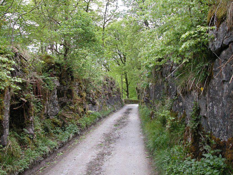
The path between Malham and Janet's Foss
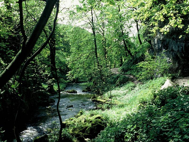
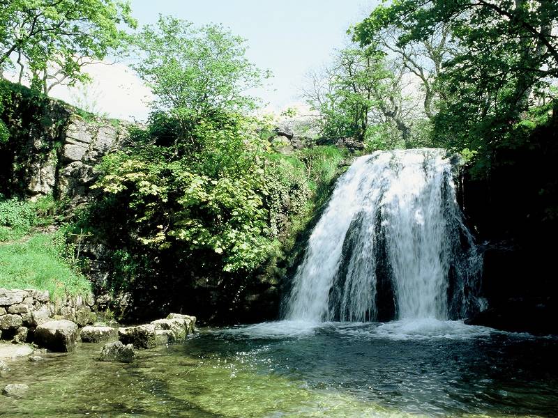
Janet's Foss and its environs
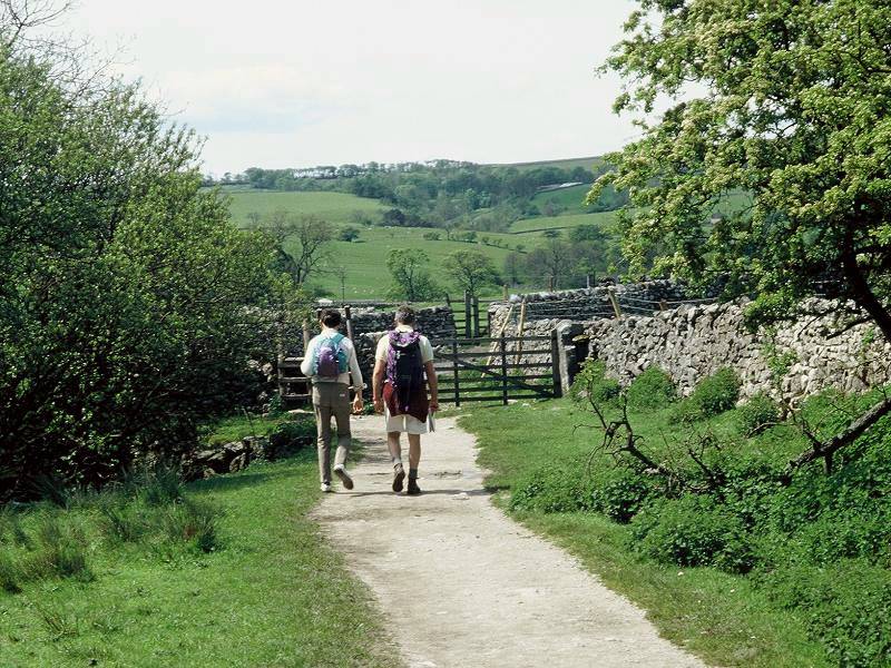
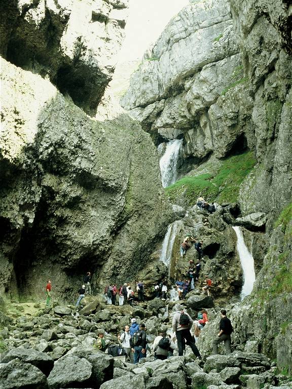
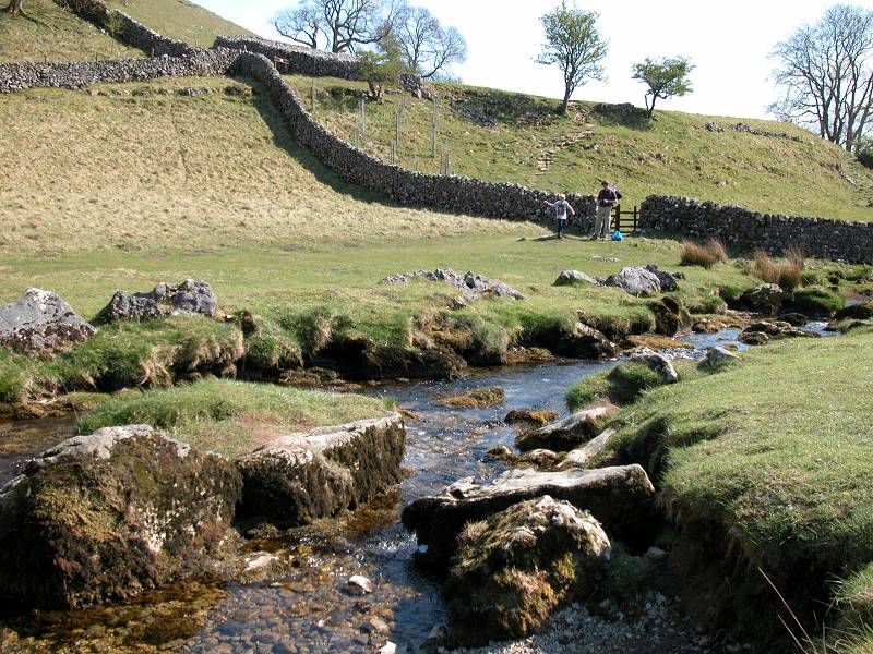
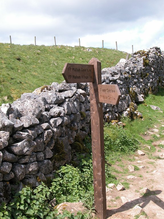
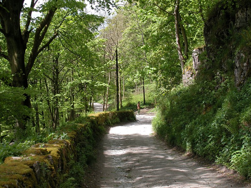
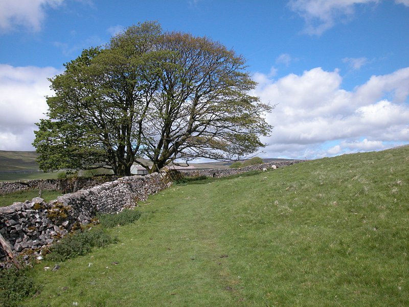
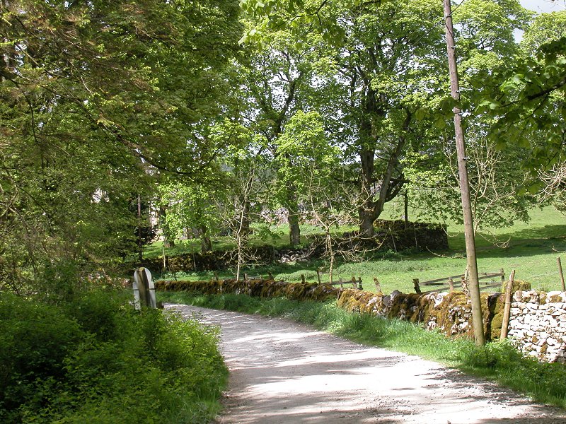
Many visitors to Malham, whether they be Pennine Wayfarers, other holidaying hikers, or day trippers, do the "tourist round" of scenic highlights that include Janet's Foss and Gordale Scar as well as Malham Tarn and Malham Cove. Janet's Foss and Gordale Scar lay either side of a lonely moorland road heading eastwards out of Malham. Janet's Foss itself is an energetic and picturesque waterslide, formed by Gordale Beck as it jumps over a deposit of limestone tufa. It lies within a wooded glade, a setting that adds much to its scenic value. Janet was said to be a local witch; "Foss" is the old Norse word for waterfall and reflects the Viking settlements in this area during the first millennium. Although you can reach it easily by road, a more elegant approach is to leave Malham southwards by the Pennine Way and then turn left, heading just north of east, at a path junction just short of Aire Head springs. The path largely follows the bank of Goredale Beck.
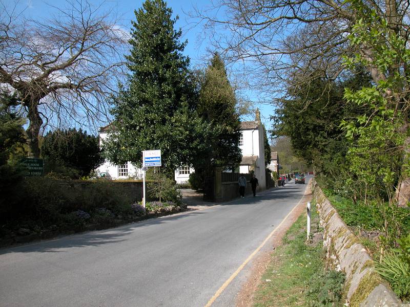
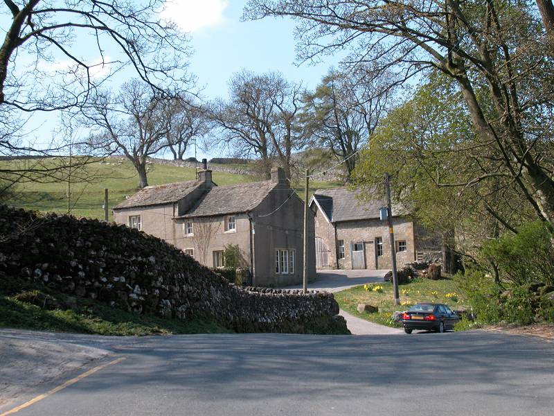
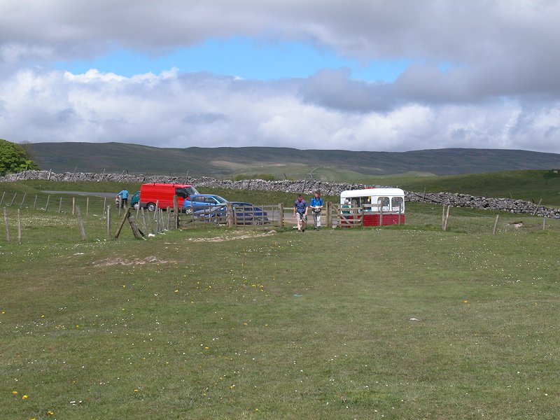
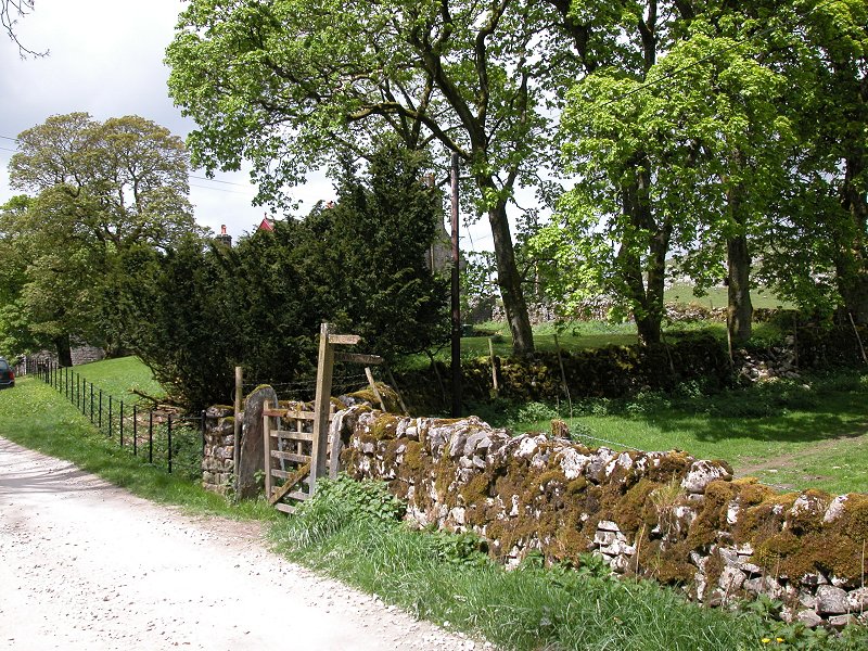
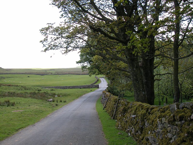
Leaving Malham
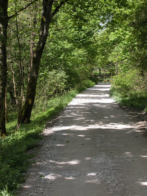
You don't really need directions from Malham to Malham Cove - just follow the crowds. In any event, the sheer cliff that forms the rear of the cove is clearly visible from the village, just a mile away. Walk northwards along the road as far as a very prominent gate, about half a mile distant; turn right here into the pasture and along the well trodden and beautifully maintained path of limestone gravel, which meanders among stands of birch towards the cove itself. Within the village itself it's possible to get off the road and follow a path through the ribbon of woodland immediately to the right.
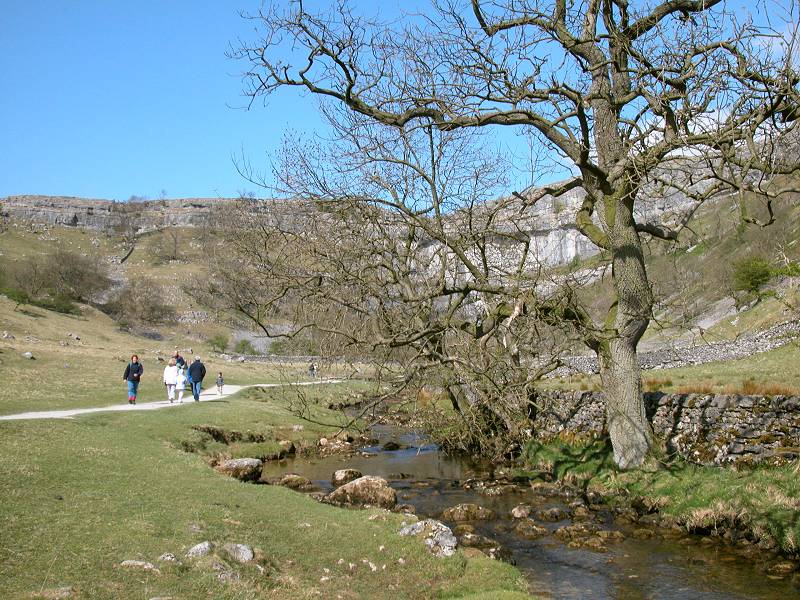
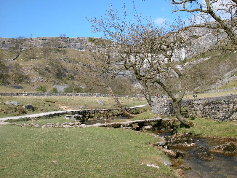
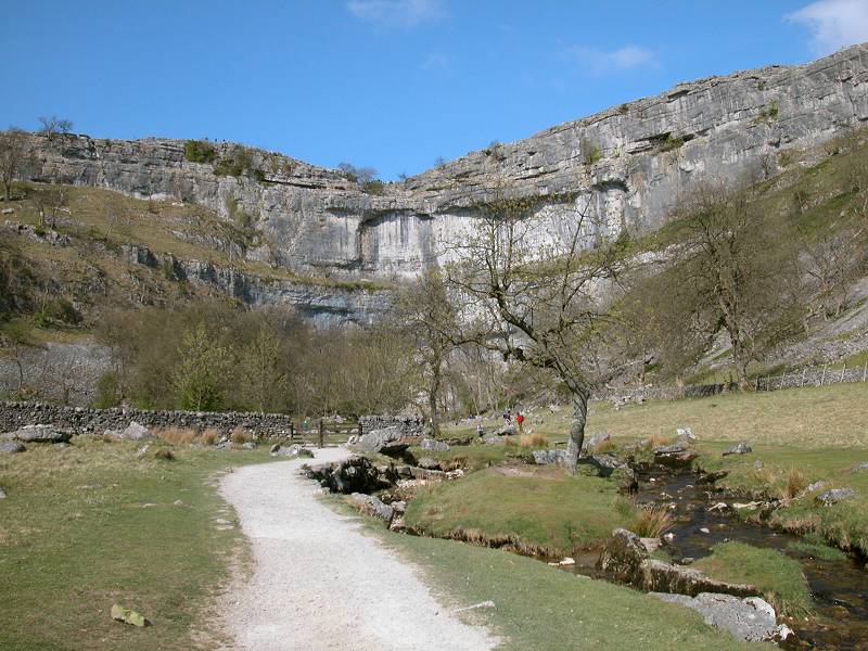
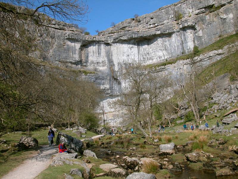
Approaching Malham Cove
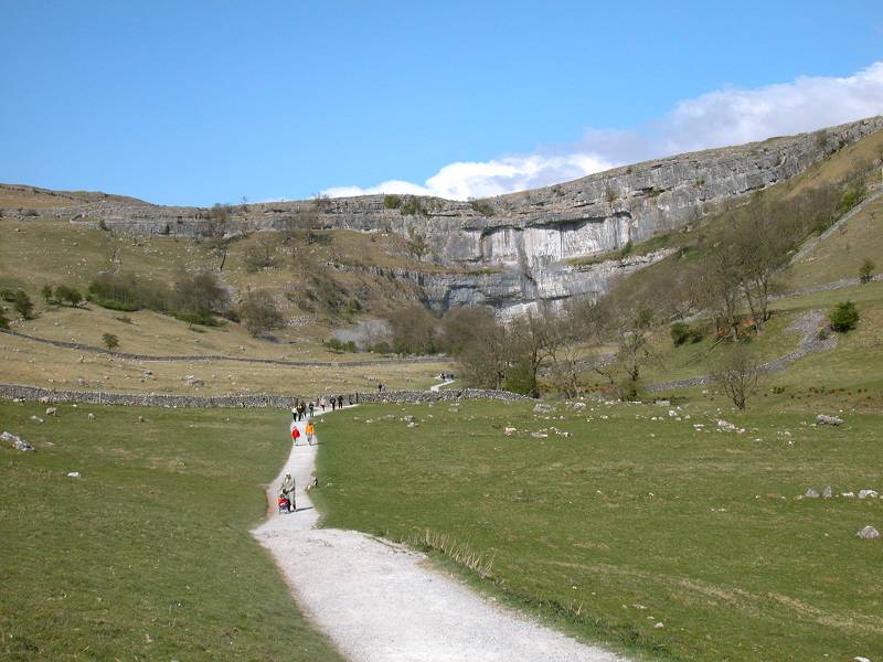
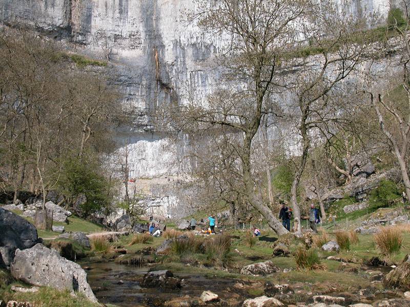
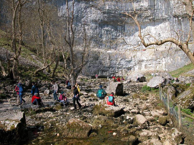
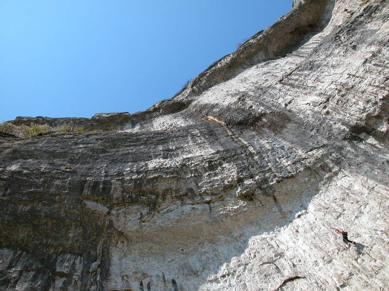
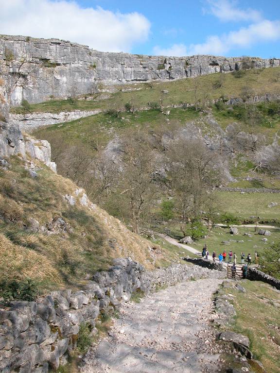
The cove itself is pretty damn special. The sheer cliff to the rear forms a graceful inward curve, and as you approach you see that it is not simply steep - it's not even vertical, but actually overhangs. It's a favourite climbing ground and you can sit here for hours watching climbers making their way up the face on ropes and pitons.
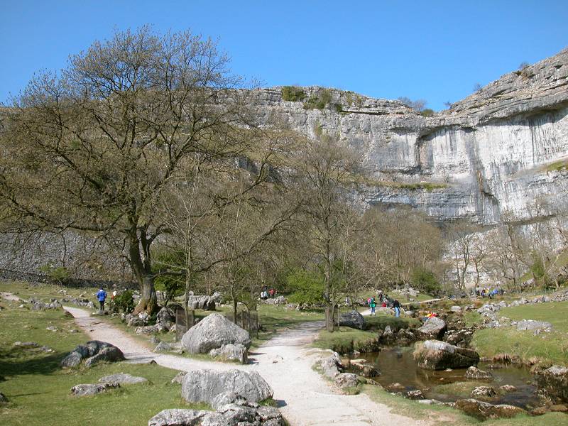
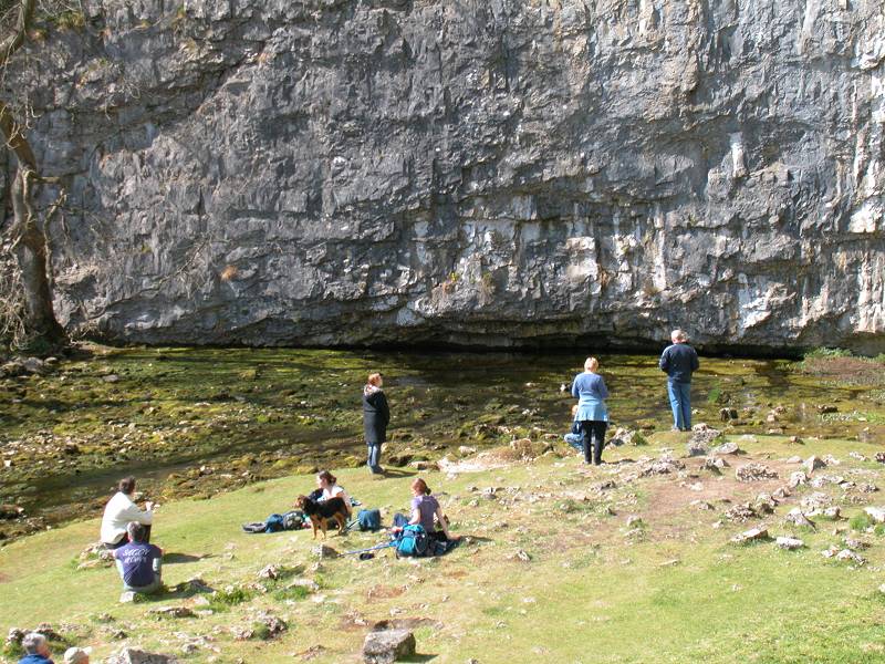
Malham Cove
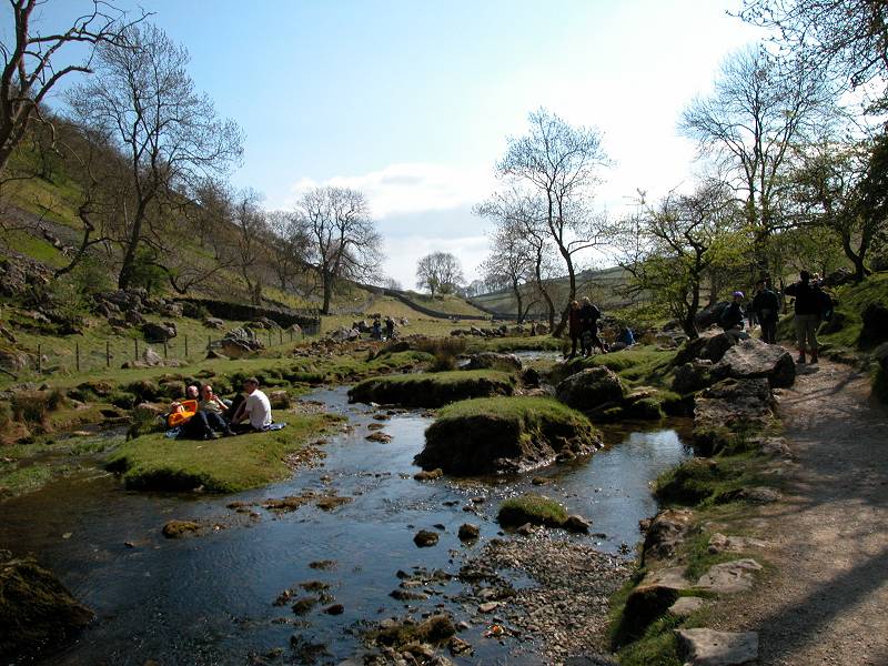
The near approaches to the cove consist of swards of beautiful green turf, making it a perfect place for picnics. It's the sort of terrain and setting that naturally attracts wild campers also, but here there seems to be an unspoken agreement not to do so. During the week I spent at Malham in 1988 I grew to love coming down here in the late evening - there was rarely anyone about, and I never saw a pitched tent. It really is a wonderful feeling, having a place like this entirely to yourself in the twilight.
Malham Cove and Malham Beck
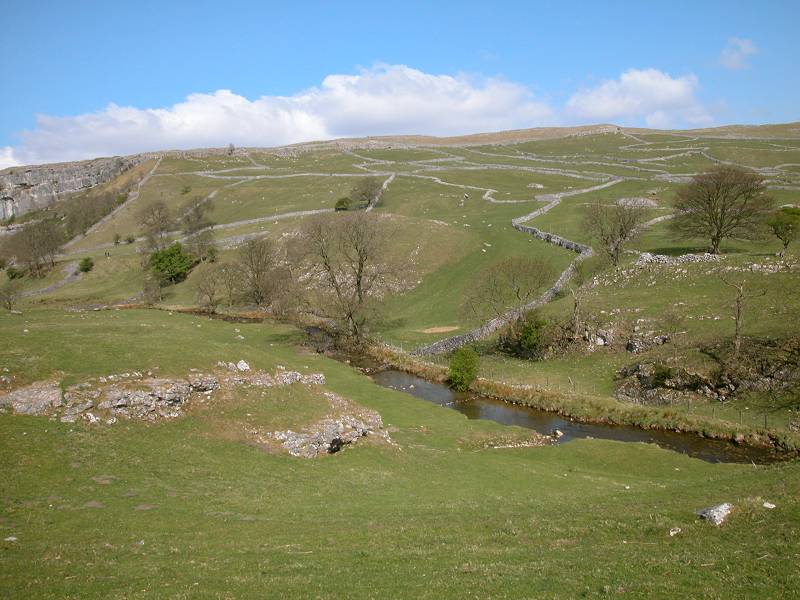
Malham Beck issues from a tiny slit, barely inches high, at the very foot of the cliff. It would be fairly obvious to conclude that this is the same stream that disappears into the ground at Watersinks, a mile to the north, but actually this is not the case. The real feeder stream is a rather insignificant dribble that meanders across Malham Moor to the northwest and disappears into the ground somewhere near Lang Scar.
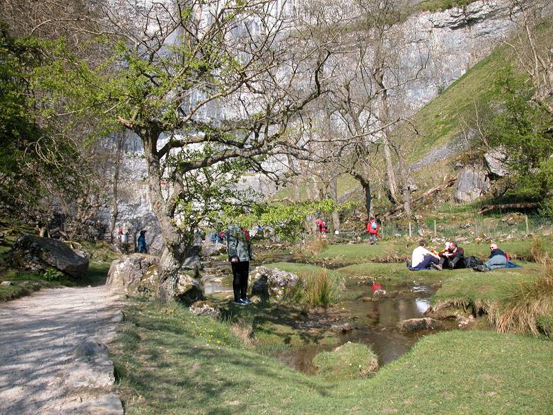
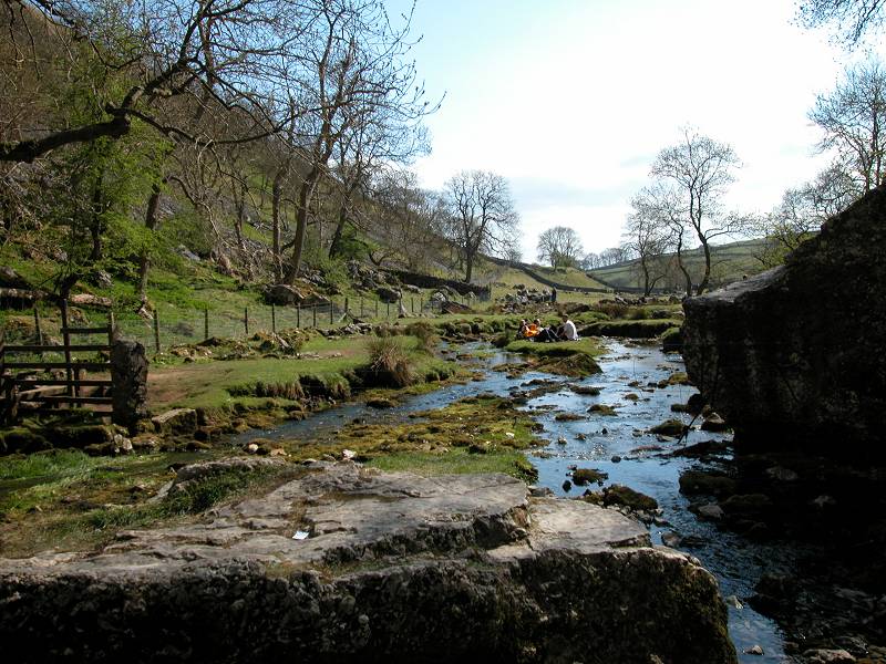
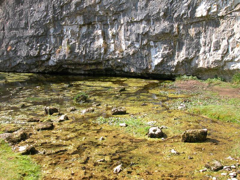
Scenes at the foot of Malham Cove
The cliff itself is not far short of 300ft high. There would once have been a waterfall here, and it's not difficult to conjure up a mental picture of the torrent that would have leapt over the lip of the cliff to plunge, roaring, into the pool below. It would have been possible to have walked behind it, and it would have been the most spectacular fall in England, and quite probably the highest. Wainwright, in an understandable outbreak of hyperbole, declares that Malham Force "would have been higher than Niagara". (I've checked and it's actually true - Niagara Falls are 167ft high)
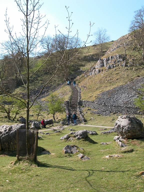
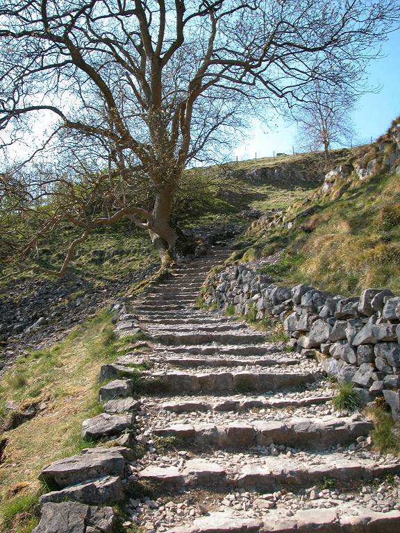
Leaving Malham Cove by the rock staircase to the northwest
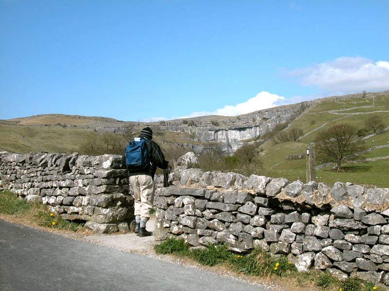
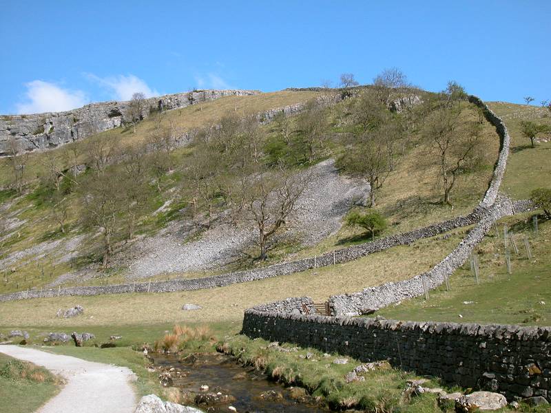
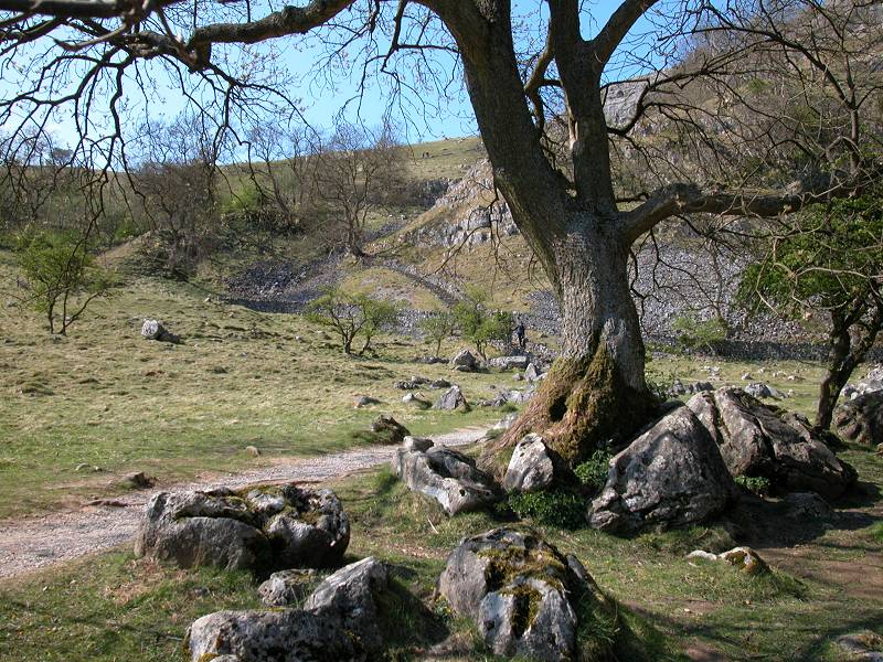
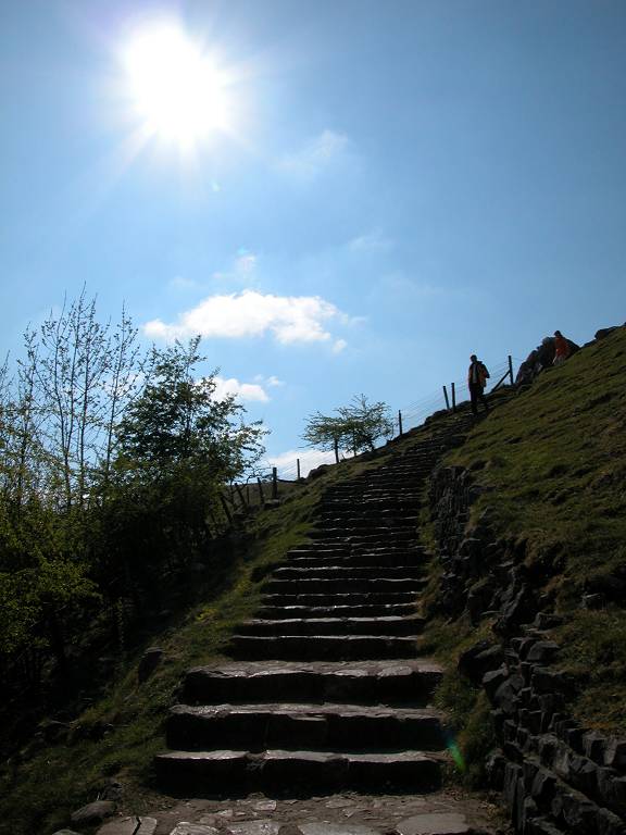
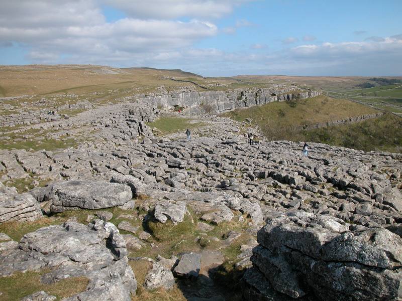
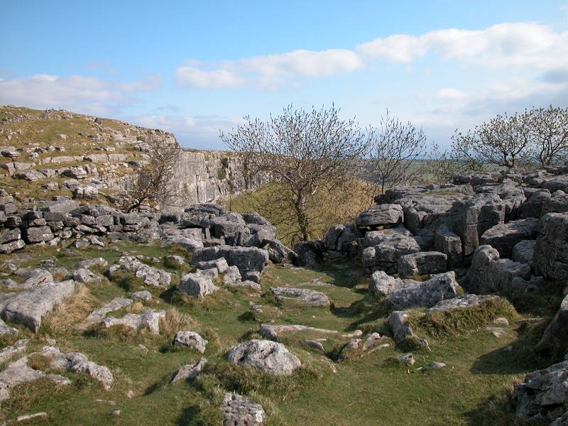
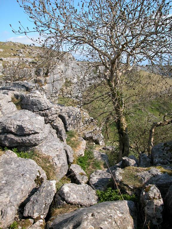
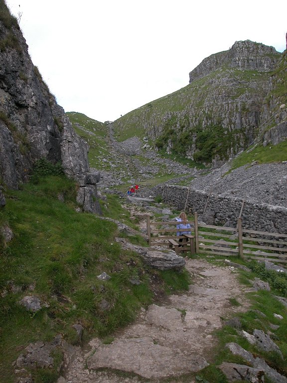
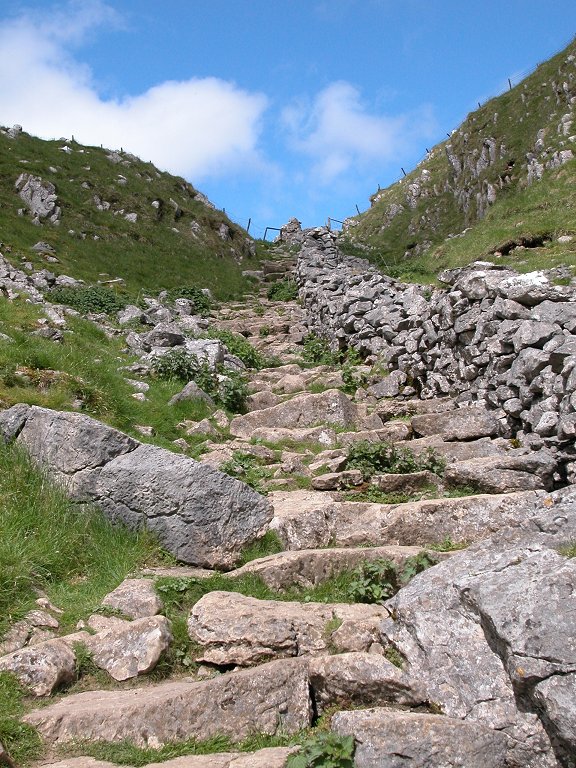
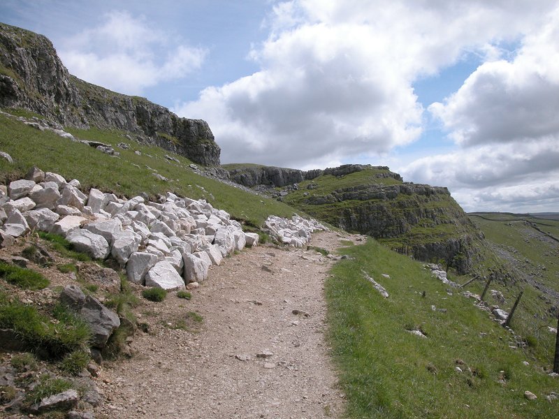
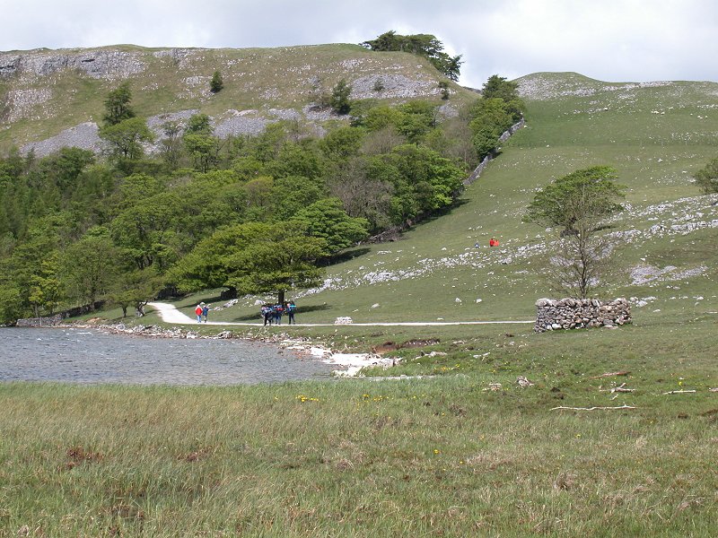
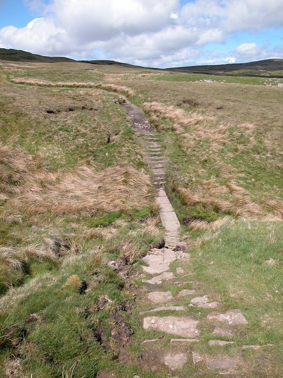
The way out of Malham Cove is a sensitively constructed and beautifully maintained rock staircase climbing diagonally across the slopes to the west of the cliff face. The stairway does not rise in a straight line but zigzags somewhat, forming "landings" that invite you to rest and gaze upon the awesome rock scenery to your right as well as down into the cove and back to to the village.
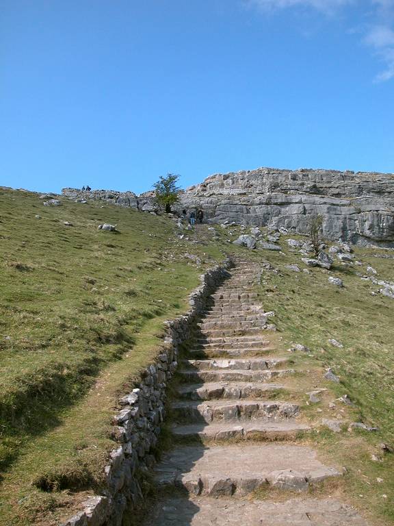
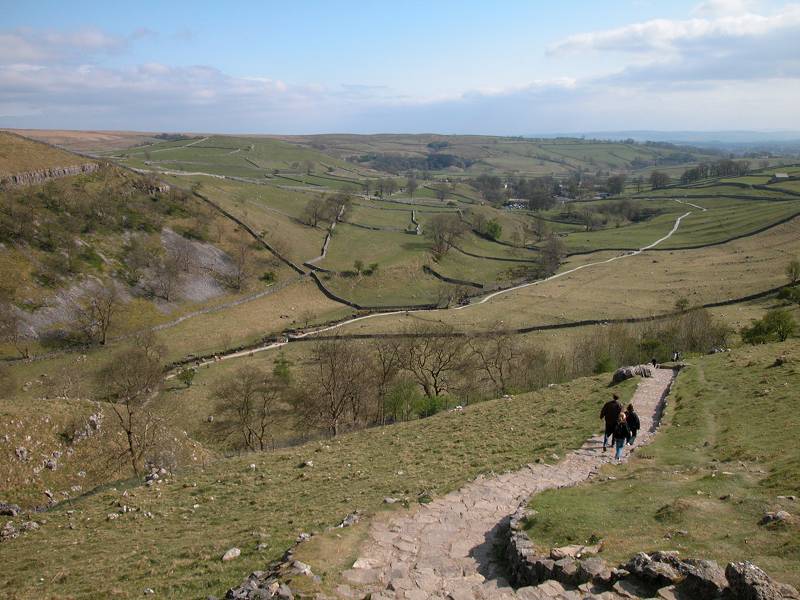
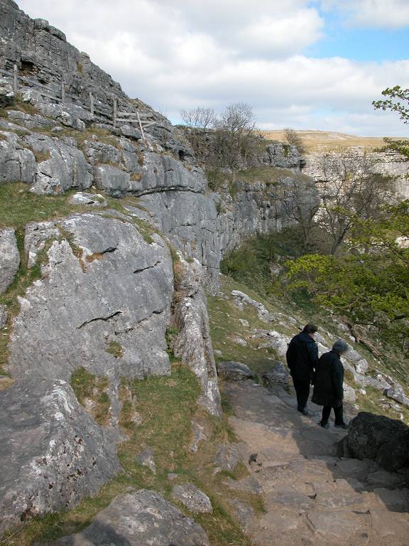
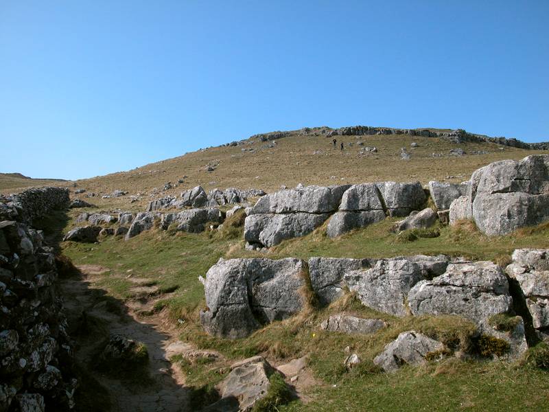
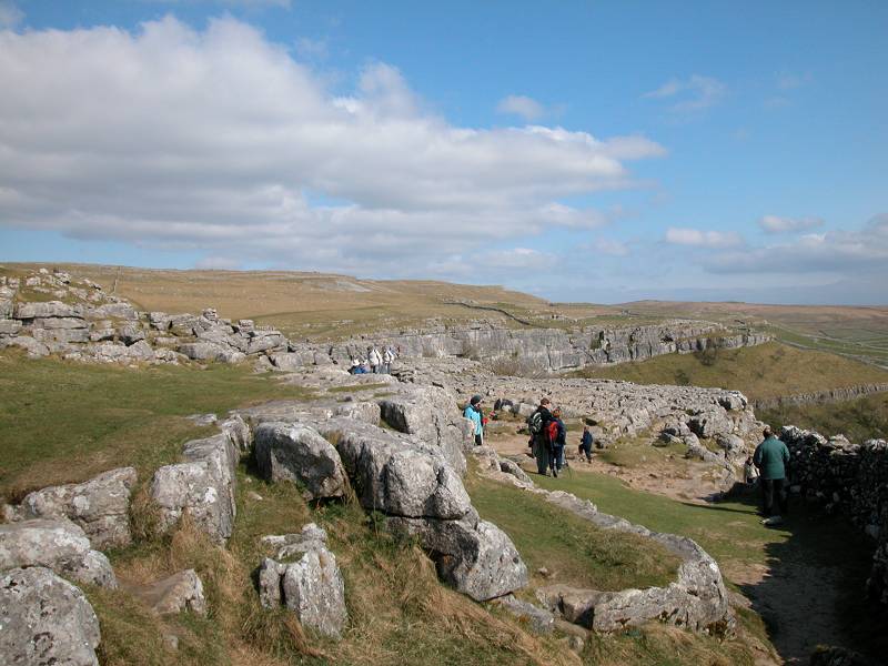
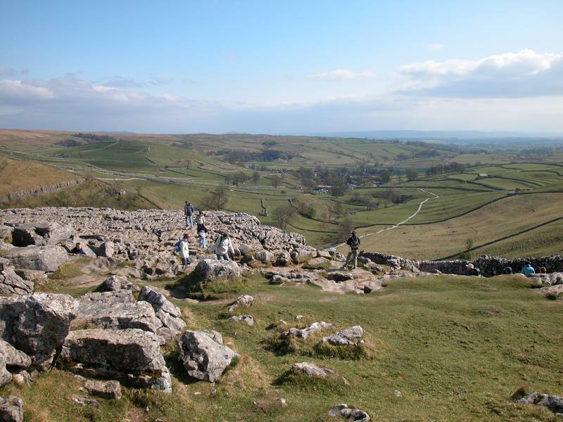
At the top of the stairway the Pennine Way veers sharp right to head over to the lip of the cove. The top of Malham Cove is an area of limestone pavement, or karst, and generations of geography classes in Britain will have had this very spot ingrained on their memories as the best known example. There are actually two pavements, a lower sill (that surrounding the lip of the cove) and an upper sill (set around 50 meters back and at a slightly higher level). The two pavements are separated by an area of grass.
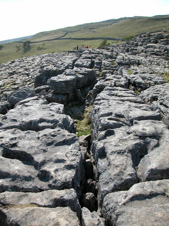
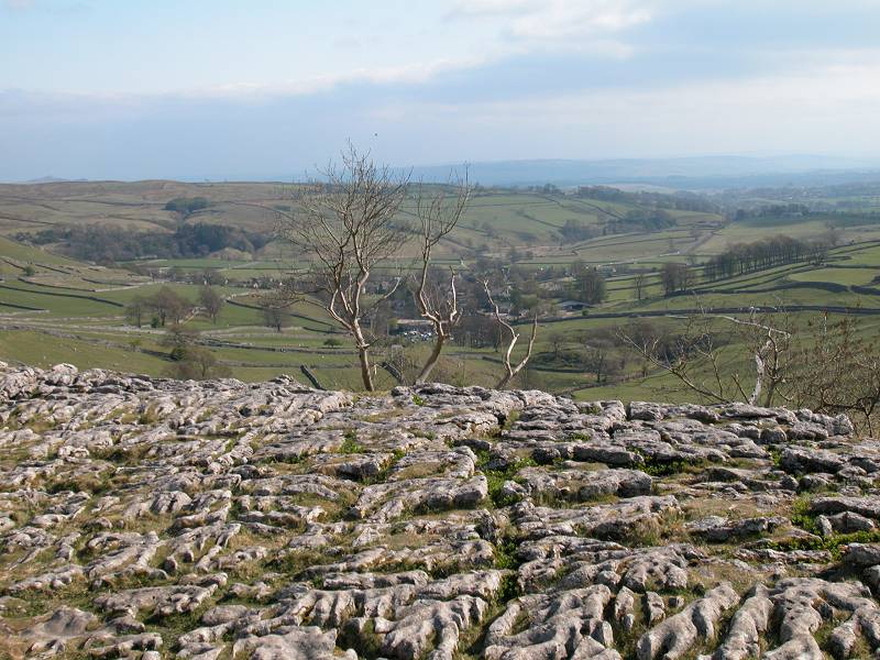
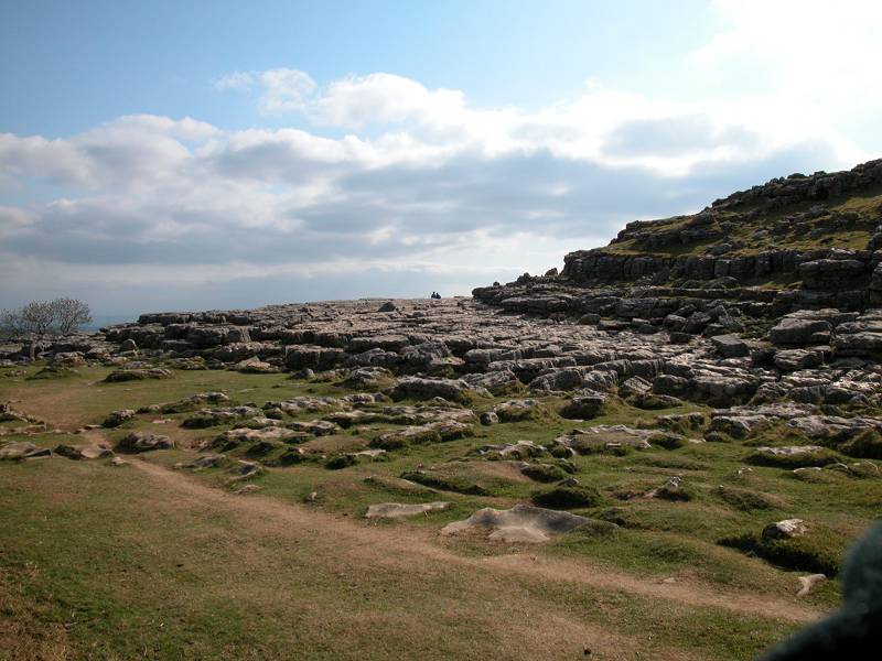
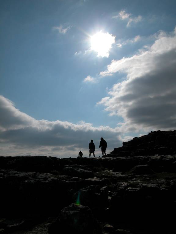
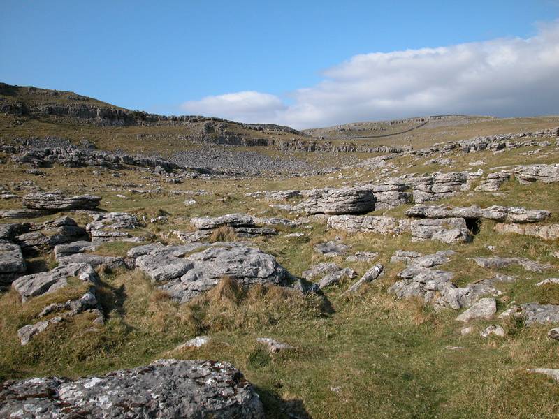
The top of Malham Cove
It's easy to see how the limestone bedding planes weather into squareish blocks, with the cracks between them running generally east-west and north-south. The gaps are known as grykes, while the slabs themselves are known as clints. Great care must be taken here, especially during or after rain. I will warn yet again that wet limestone is at least as slippery as ice, and the grykes are about the same width and depth as your leg. So watch out, don't mess about, and keep children and dogs under control. The same warnings apply, only more so, to the very edge of the karst on the lip of the cove. There is a sudden, sheer drop of three hundred feet. Feeling lucky?
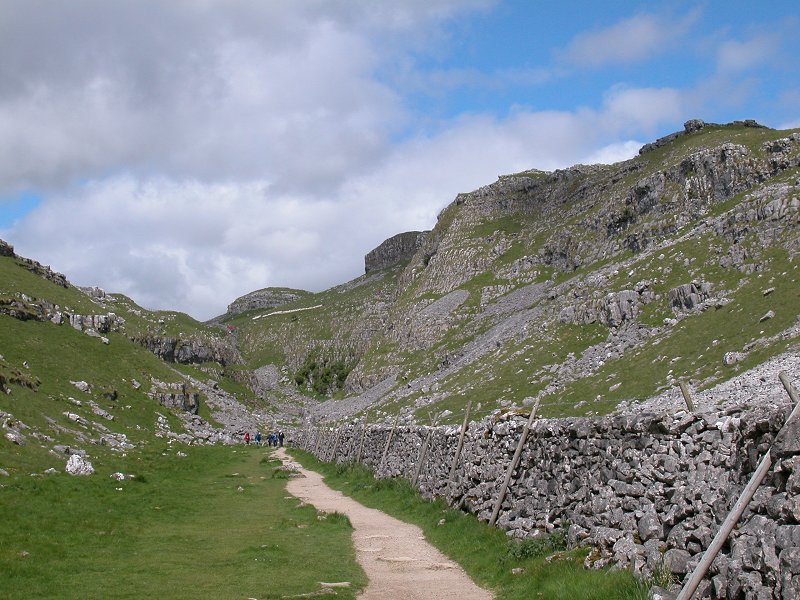
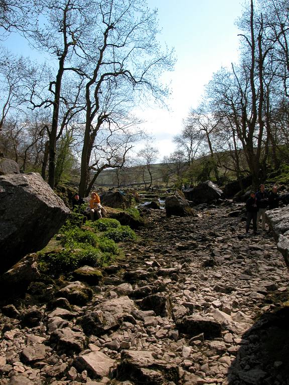
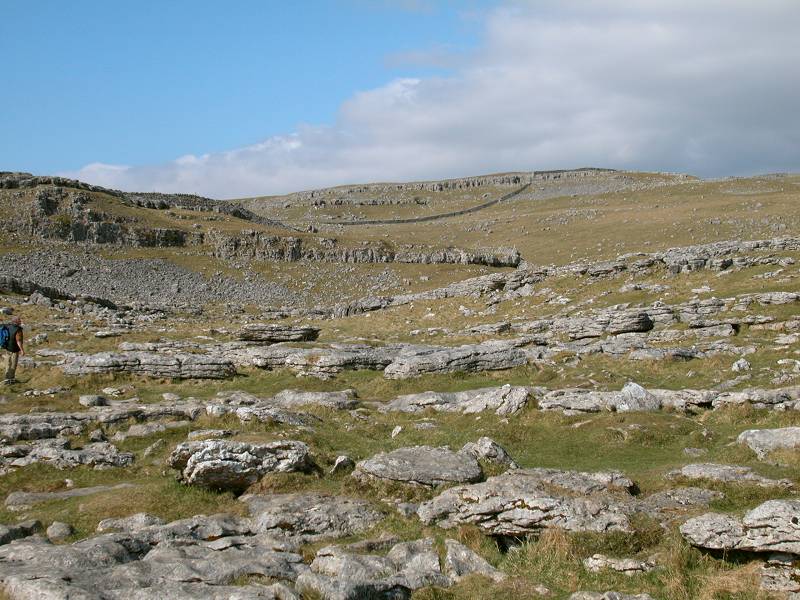
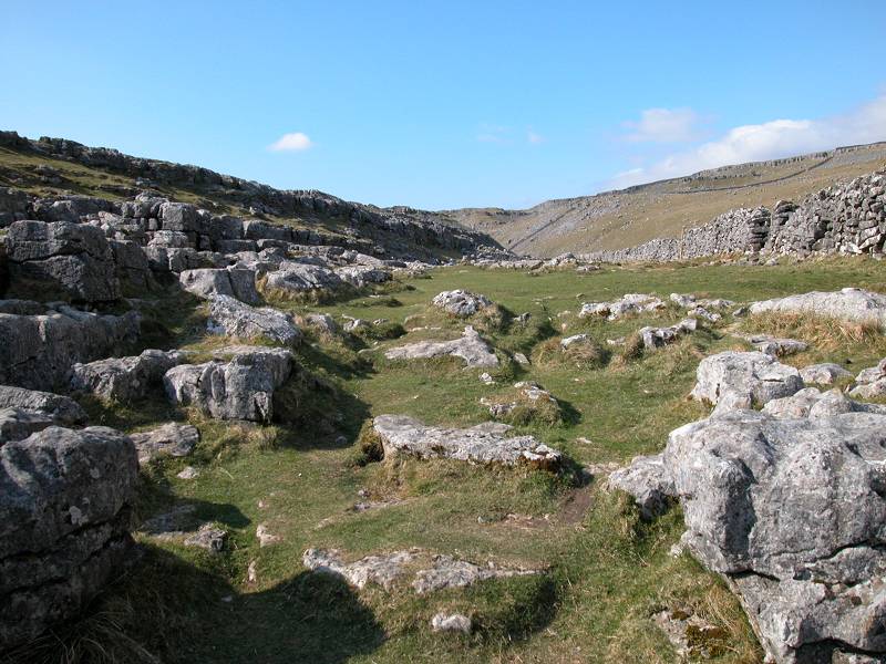
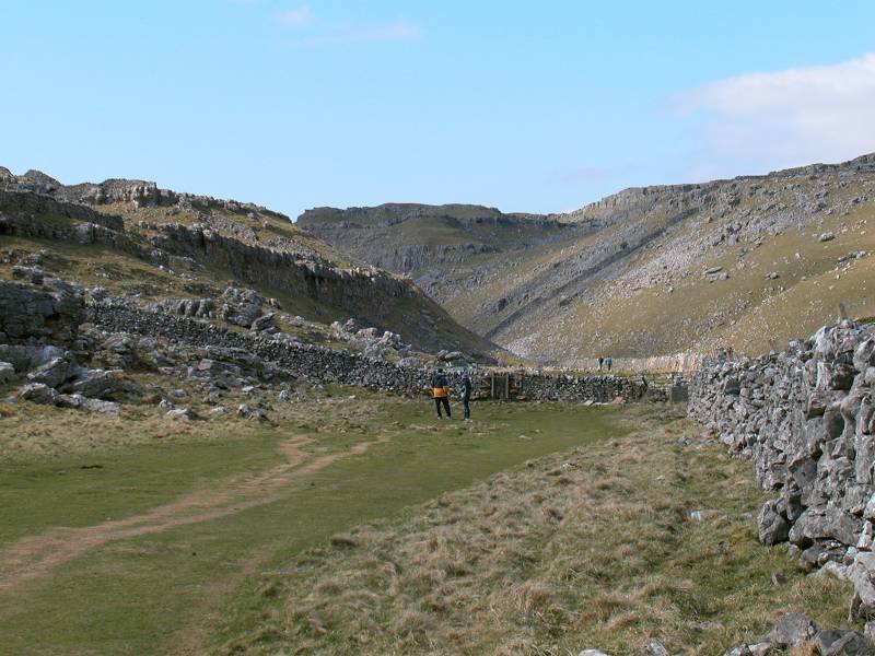
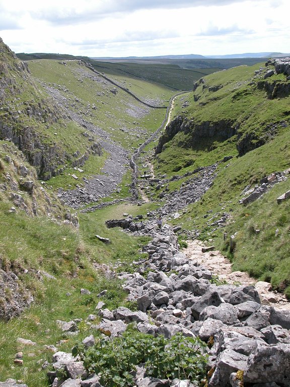
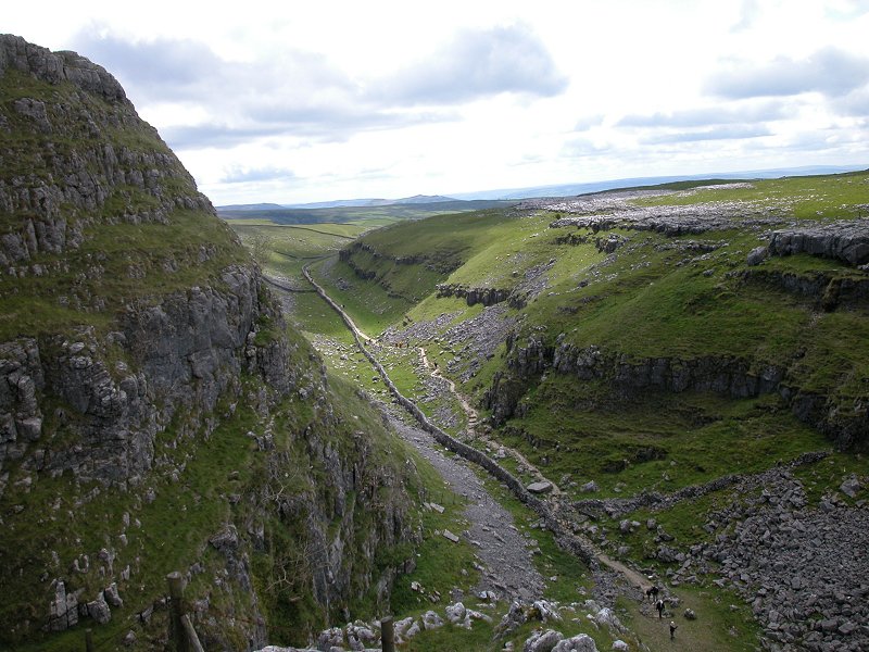
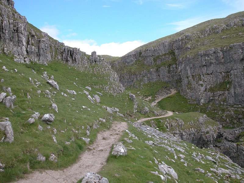
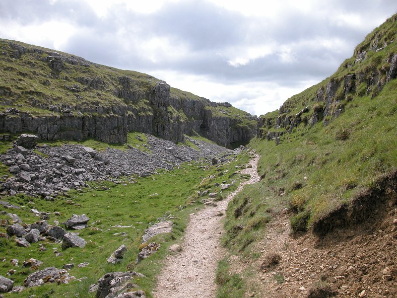
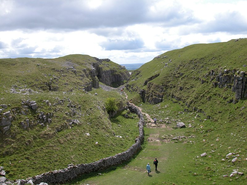
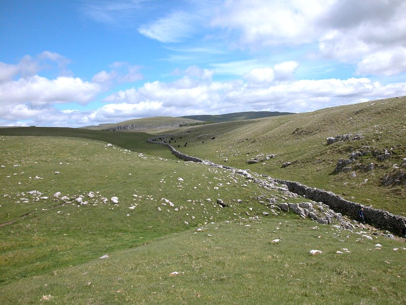
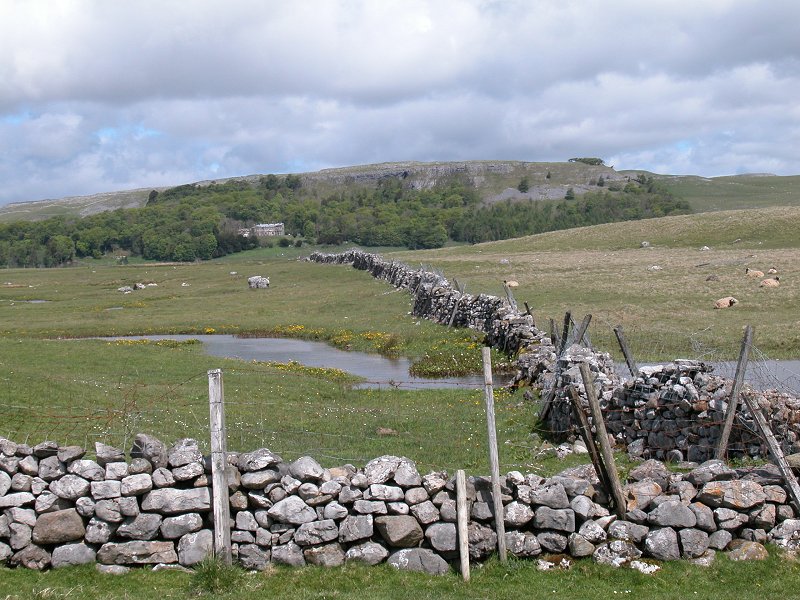
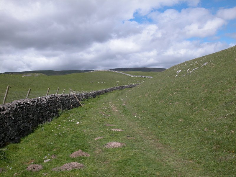
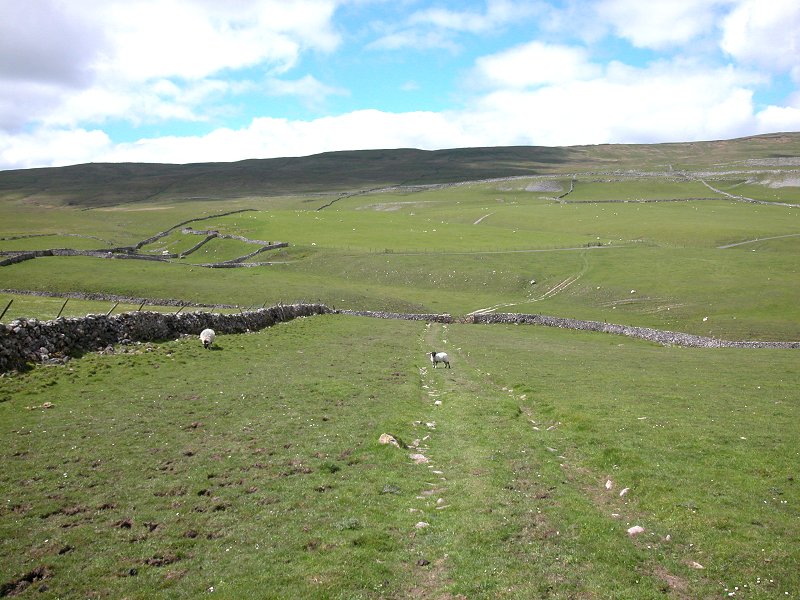
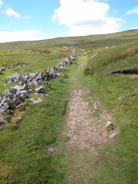
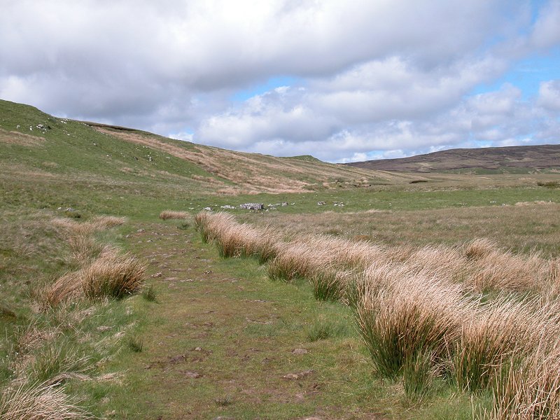
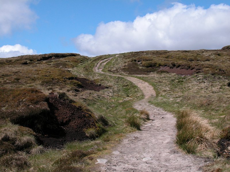
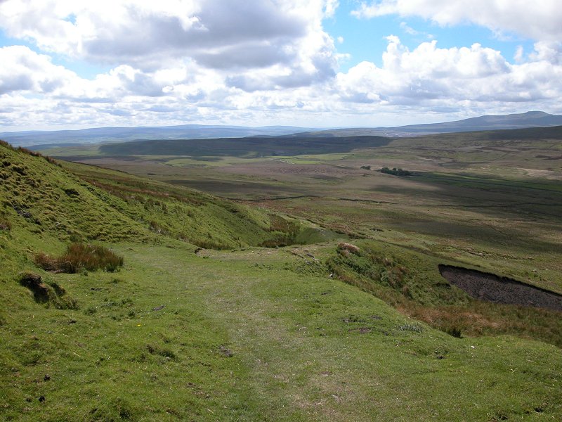
The dry valley of Watlowes
The original course of the Pennine Way tracked eastwards of here then ran northwest along a high contour through the pastures above the dry valley running northwards from the cove. Generations of walkers have looked at the map, said "sod that,", and followed the dry valley itself. It is an irresistible temptation, and its use has become so universal that a made path has had to be constructed to prevent erosion scars, and the Pennine Way itself was eventually re-routed to take account of what was happening in practice.
Watlowes is a shallow yet narrow ravine, steeply sided with craggy limestone walls. Curiously, a drystone wall runs along much of the length of the valley. It would once have been the course of a river, of course, but since limestone dissolves so readily in water the river has long since leached out an underground route and left the valley dry.
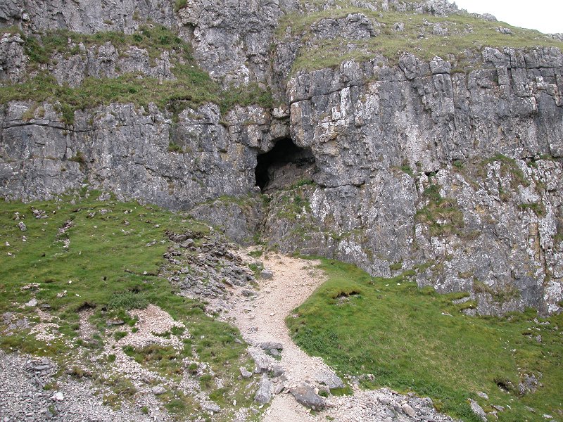
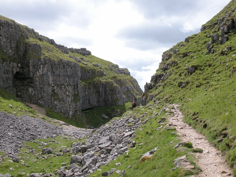
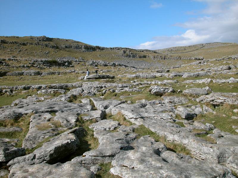
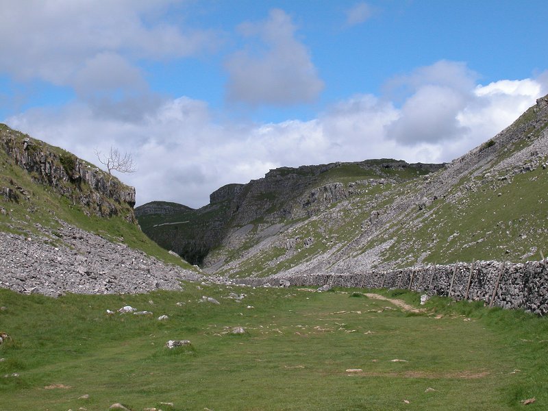
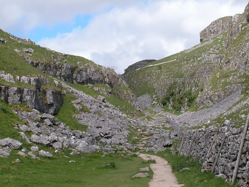
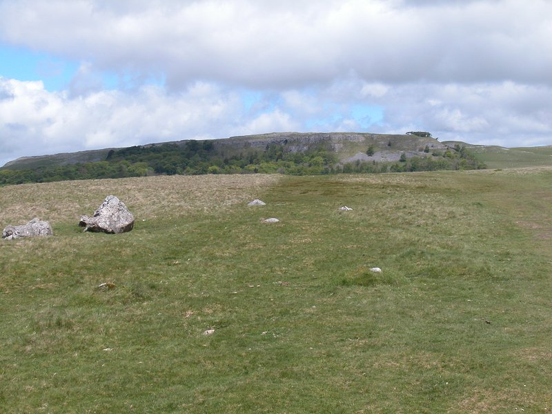
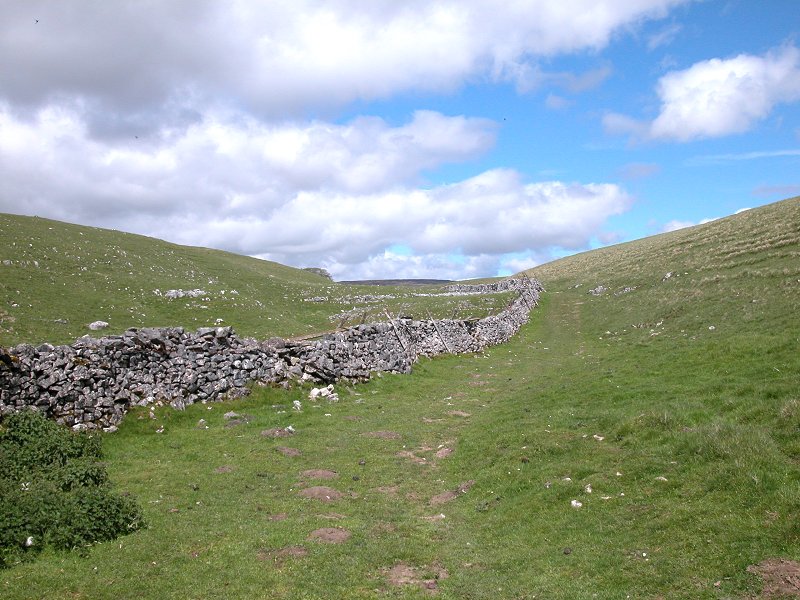
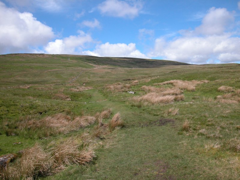
The rock scenery around the entrance to
the
upper dry valley is awesome. Note the cave in the eastern wall. As you progress the scenery calms down, and
eventually
you find yourself following a simple depression with a drystone
wall
alongside. The route curves slightly to the right to head east of north.
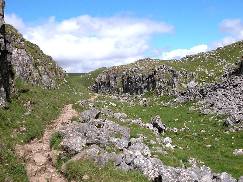
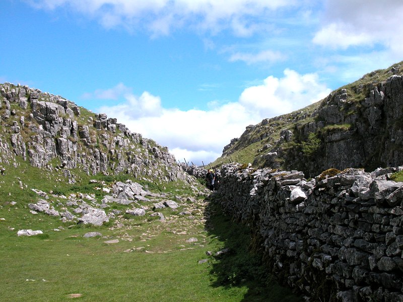
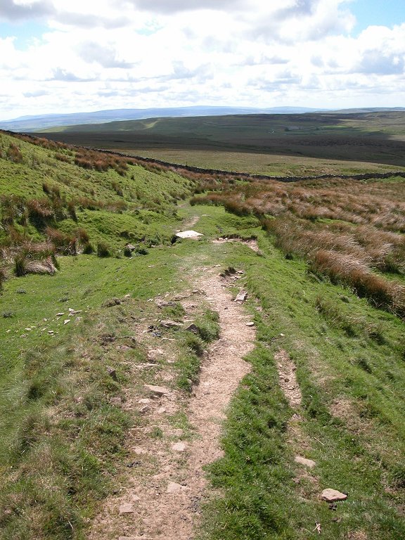
The upper dry valley
About 700m north of the
ascent into the
upper
dry valley above Watlowes, you reach the point at which Malham Tarn
Beck
disappears underground into a sinkhole. It's a spooky place.
Ahead of
you,
the beck gurgles happily along its course; behind you is still water,
then marsh, then dry grass. It's as if there was never a stream here at
all.
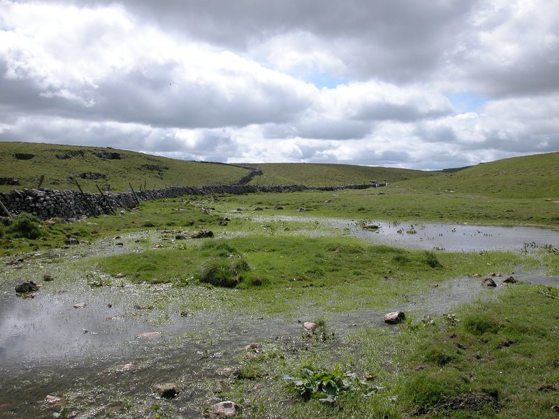
Watersinks
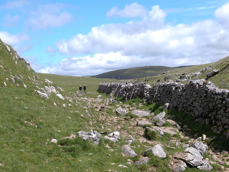
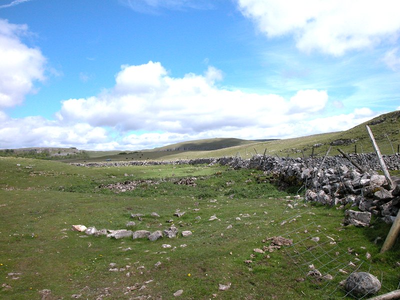
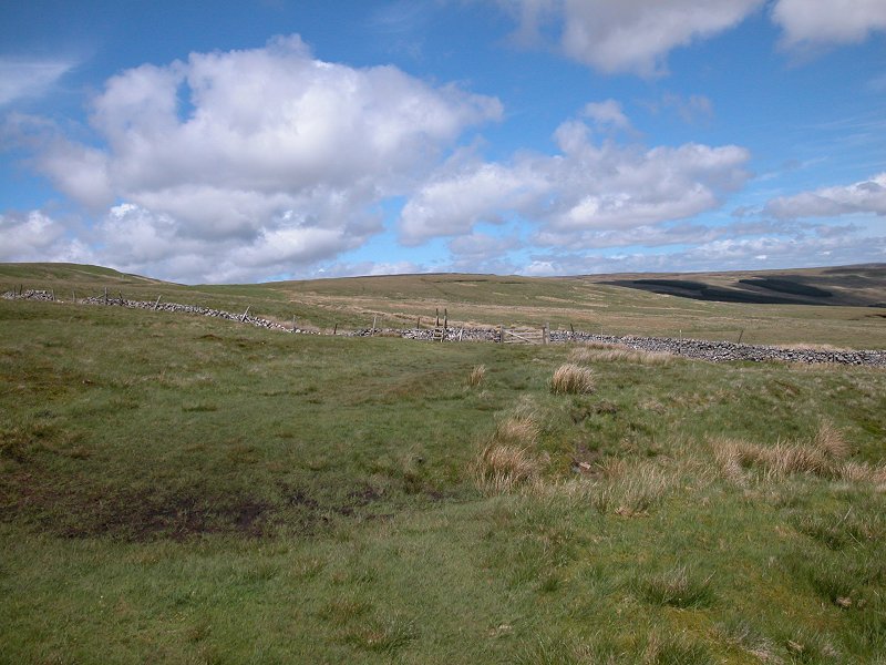
Not far beyond Watersinks you cross the
eastern
loop of the Malham Moor road, which is heading just south of east at
this
point. To the east it becomes Mastiles Lane, an ancient byway going
over
to Grassington in Wharfedale, in theory a route open to all traffic but
in practice quite unsuitable for any motor vehicle.
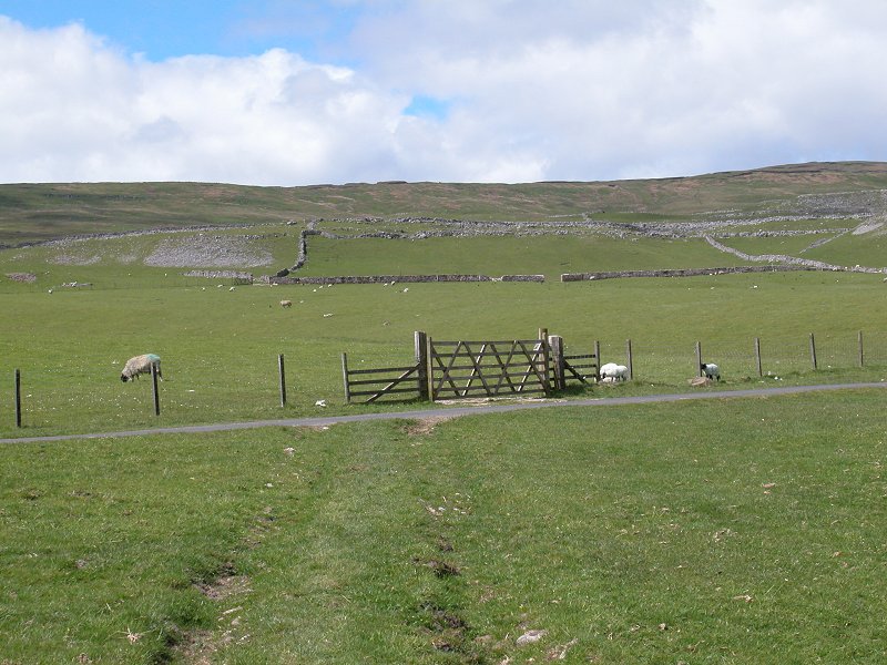
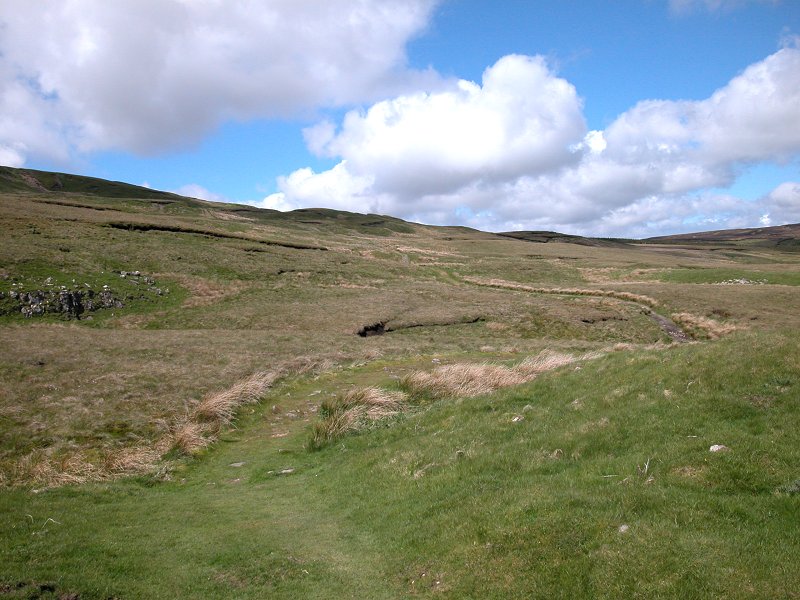
The PW reaching the Malham Moor road
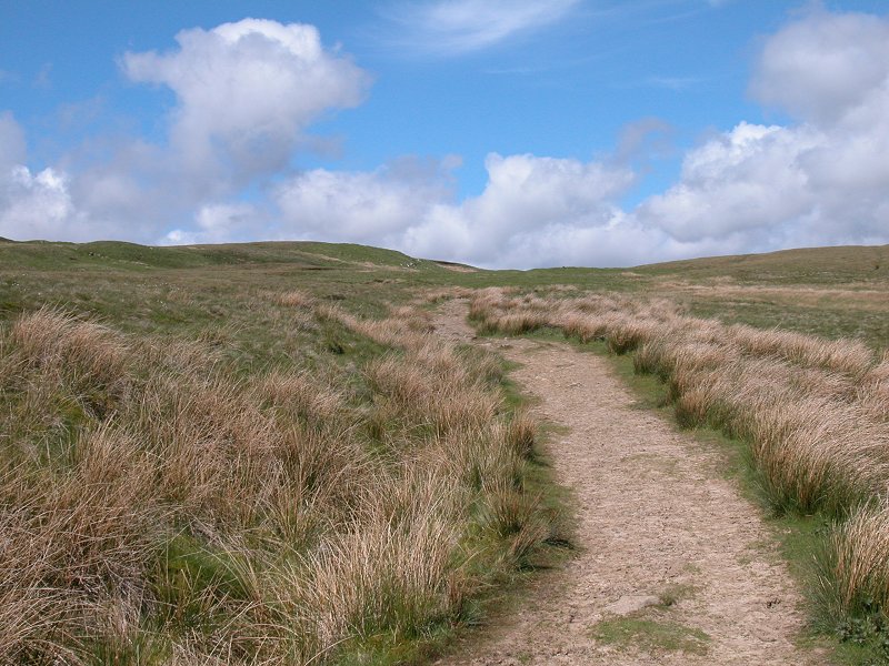
The Pennine Way
becomes
a little confused after crossing the lane - three footpaths diverge
from
this spot heading north, north-northeast and northeast, and it really
matters
little which one you take. The official PW route is that heading north,
though personally I'd prefer the centre of the three paths. They are
all,
ultimately, crossing a slight grassy rise and heading for the eastern
edge
of a group of trees fringing the shore of Malham Tarn. The tarn should
come into view as you cross the rise.
The approach to Malham Tarn
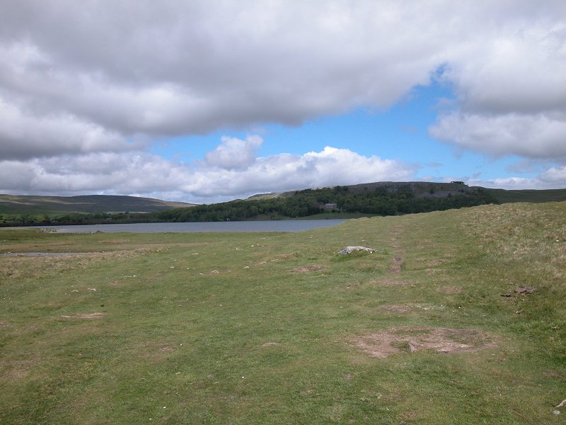
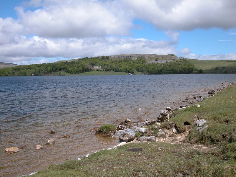
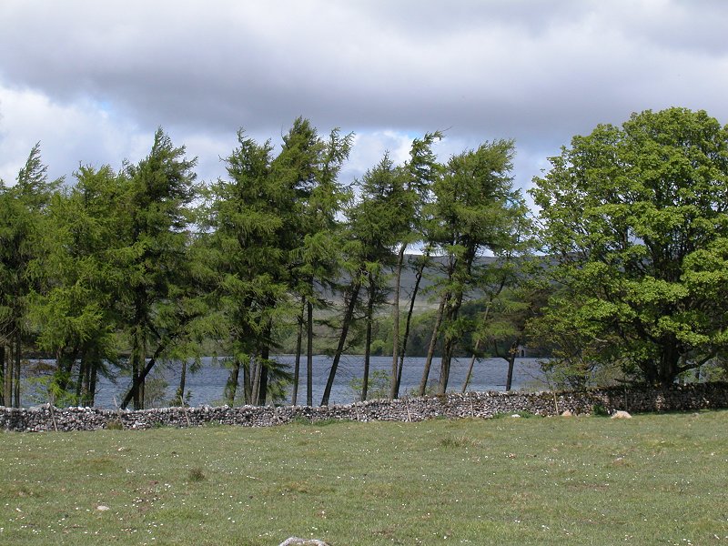
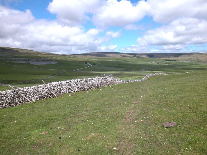
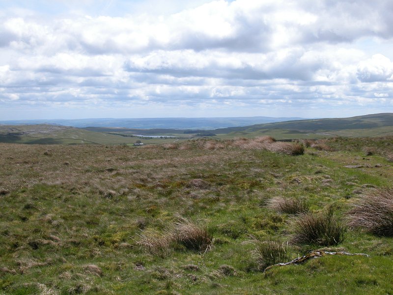
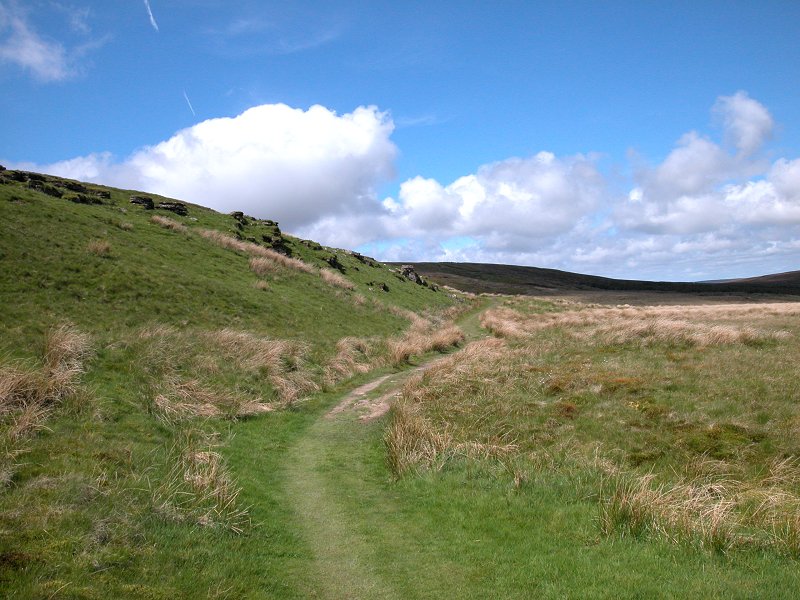
Malham Tarn is a lovely little body of water, not quite one square kilometre in size. In this limestone world where water so readily disappears underground, it's a minor miracle that it's here at all; the answer lies, apparently, with an anomalous layer of slate on which the tarn rests. The Pennine Way loops around the east and then the north banks of the tarn, squeezing under the cliffs of the North Craven fault and running through a picturesque fringe of woodland.
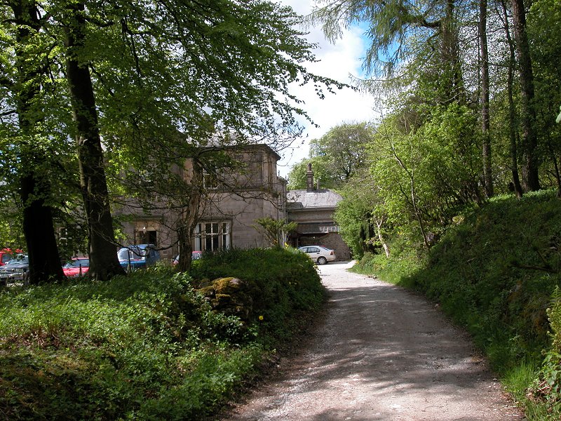
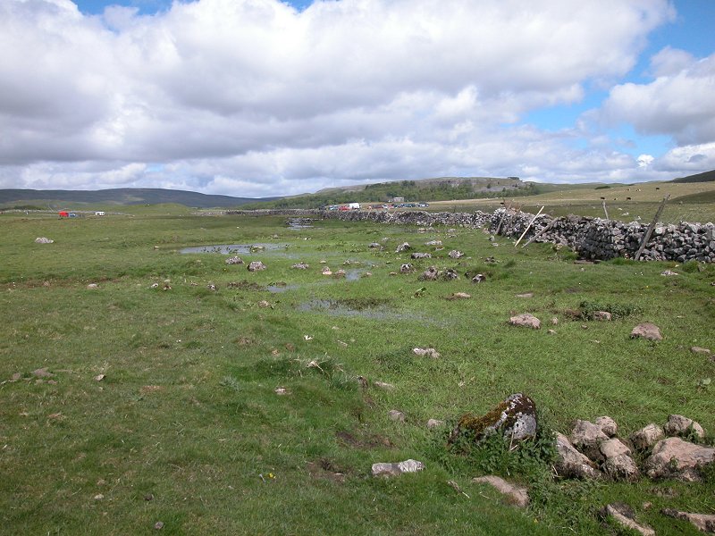
On the north bank of the tarn, the Pennine Way runs past Malham Tarn House. Nowadays the house is an outdoor studies centre but in the nineteenth century it was a private residence and had literary connections; Charles Kingsley wrote "The Water Babies" after being inspired by visits to the area, and there are also associations with John Ruskin and Charles Darwin.
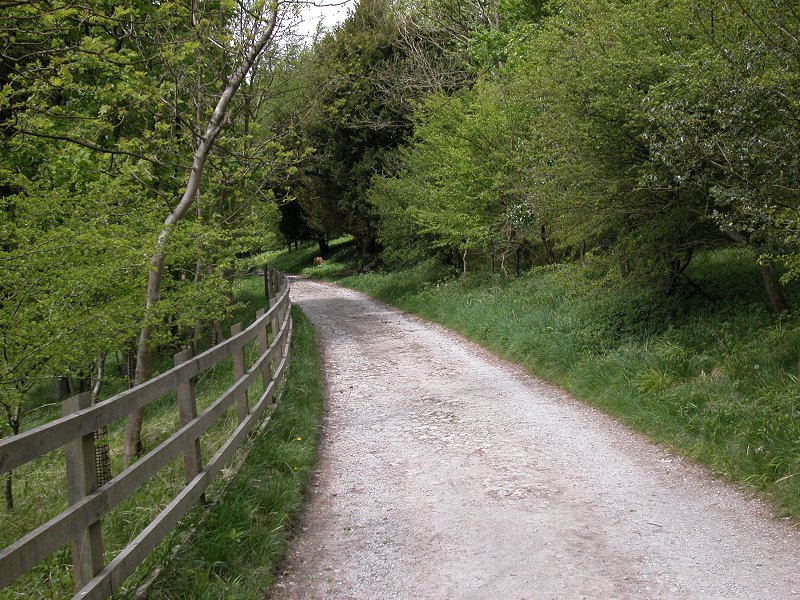
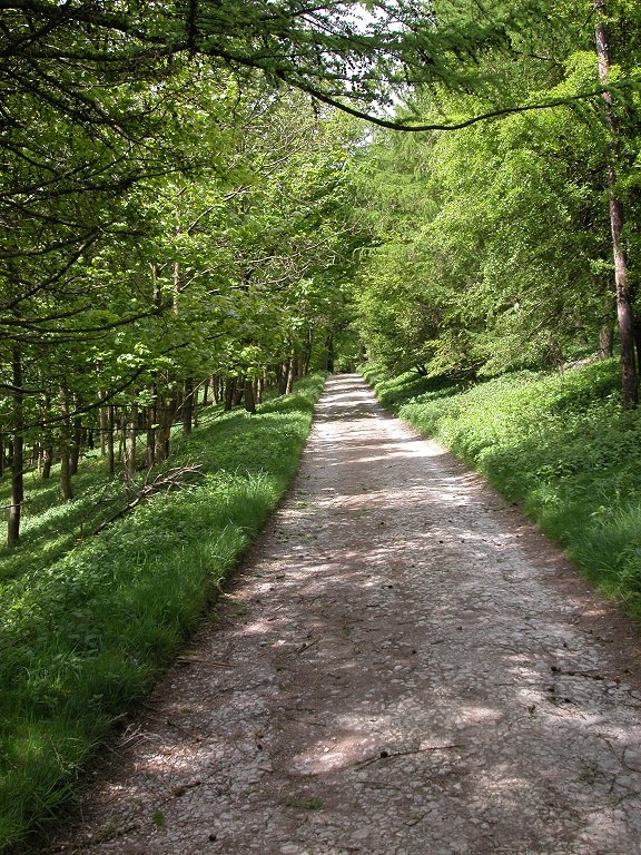
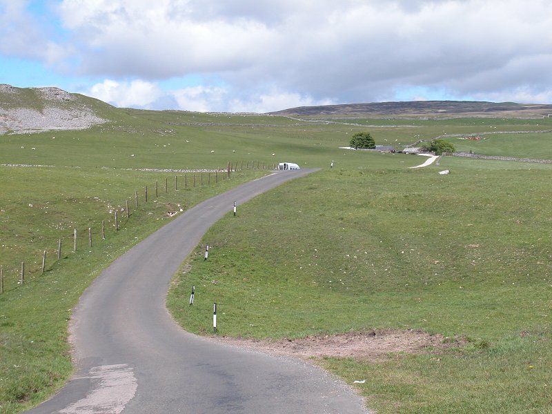
The PW runs for some 600m along Malham Tarn House's access road, which in places is very narrow and runs through a cutting blasted from bedrock. Be prepared to flatten yourself against the rockwall should any vehicles come along.
The access road to Malham Tarn House
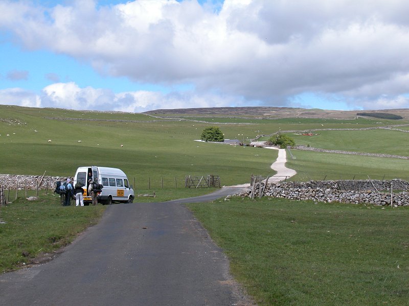
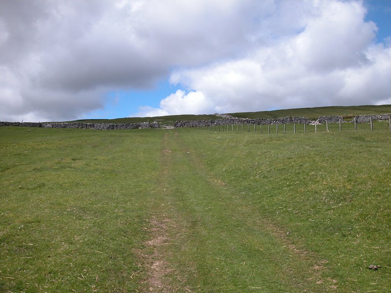
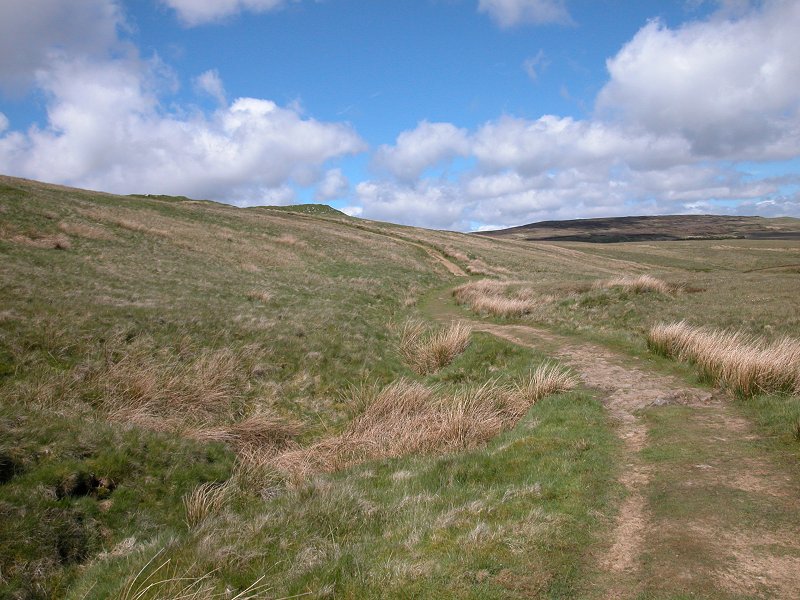
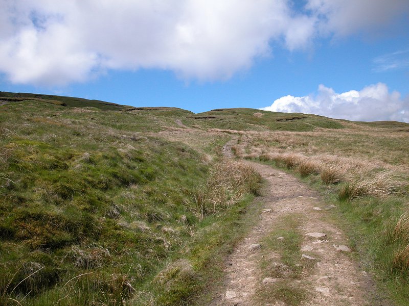
The Pennine Way turning north at Holme Farm
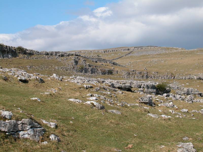
The access road heads westwards to the Malham - Littondale road at Holme Farm (which could be used as a break point for a half-day expedition), but the route of the Pennine Way turns off to the north about 350m short of the farm. For the next mile it runs through a series of open pastures, alongside a drystone wall, with views of the moorland road to the left and a limestone-outcropped slope rising to the right. The point at which it kinks to the left to head towards the road is obvious enough; after the steeper part of the slope your route bears right again, gradually converging on the road not far short of a corner at which the driveway to Tennant Gill Farm leaves to the north.
Limestone pastures north of Holme Farm
The PW reaches the road just south of Tennant Gill Farm
The driveway to Tennant Gill Farm
Follow the driveway towards the farm, but
turn off left just before the farm itself. There is a distinct change
of
landscape here; the terrain becomes lonelier and more drab, and the
grass
begins to lose the green lustre characteristic of limestone. The PW
takes
a slightly complicated course uphill, generally in a WNW direction but with one confusing dogleg to the southwest. A
part-ruined
drystone wall accompanies you for some of the way.
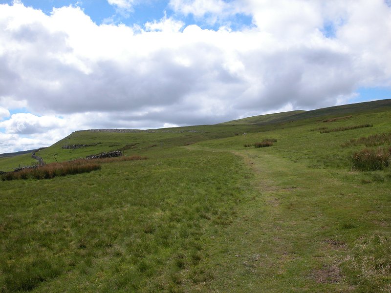
The Pennine Way in the environs of Tennant Gill
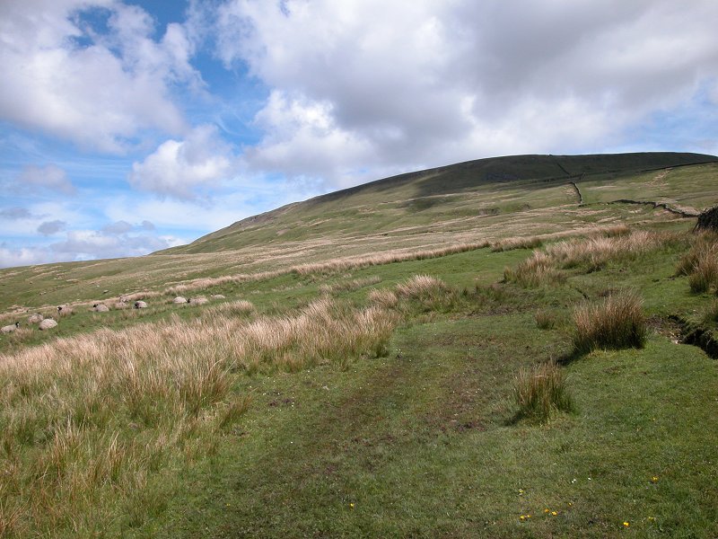
Ascending the flanks of Fountains Fell
The route continues for another 600m in
the
same direction before turning right, to head just east of north across
open moorland. Assuming that you're using the OS 1:25,000 Outdoor
Leisure
map 2 of the Dales, now would be a good time to switch to the reverse
side
of the sheet - you won't want to do this on the summit if it's at all
windy.
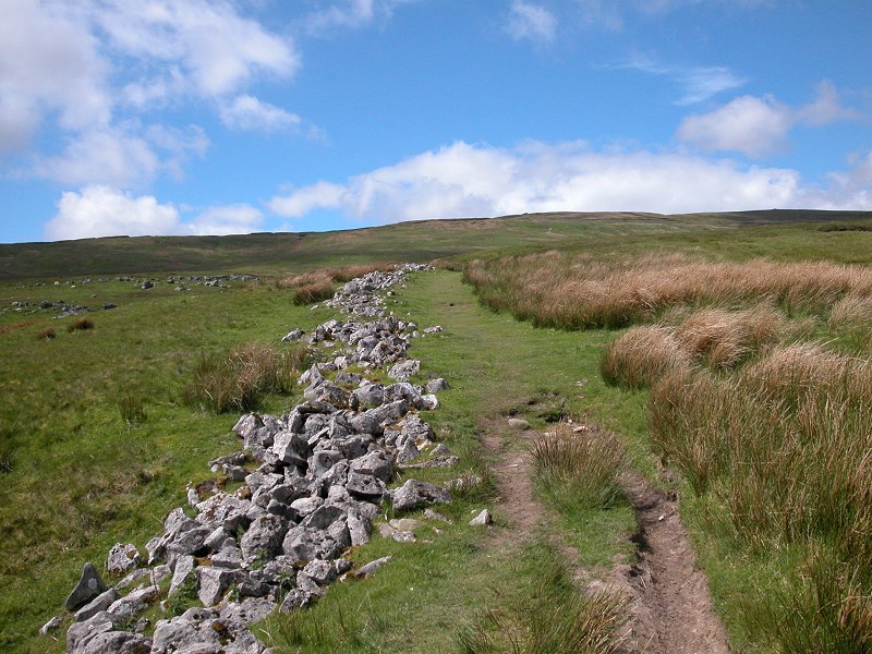
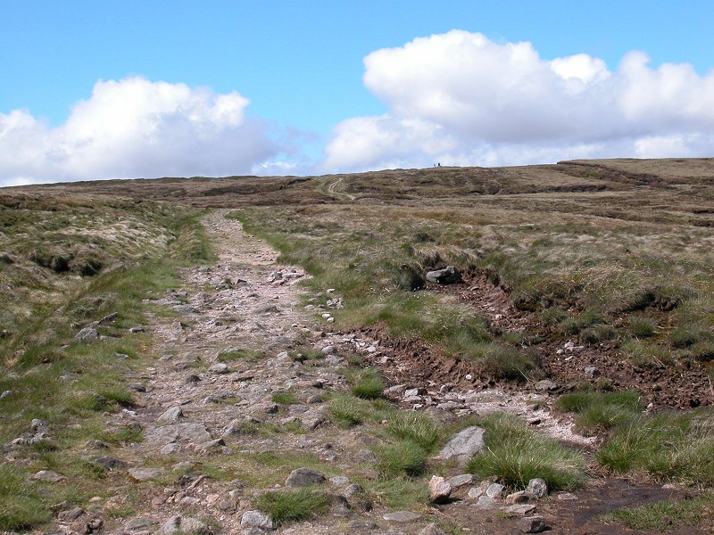
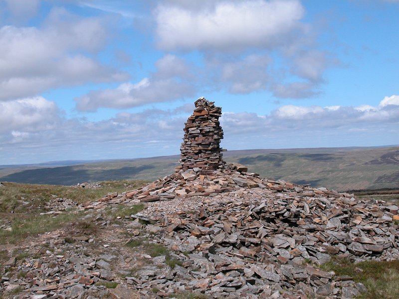
There now follows a long, lonely ascent of Fountains Fell, so called
because
the land here was once owned by the monks of Fountains Abbey. The rock
type changes from limestone to gritstone and the Pennine Way leaves the
limestone playground of Malhamdale behind as mud and slop return and
the
grass turns brown and wiry. It's amazing how the day trippers melt away
too. The PW runs diagonally up the slopes of the fell in the same
direction
for about 1km, before the path veers left again There's now a
mile
of gradual but steady climbing ahead as you ascend the summit dome of
Fountains
Fell, at 2191 ft the highest ground yet reached on the End-to-End Walk.
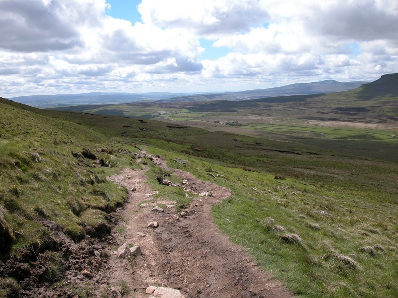
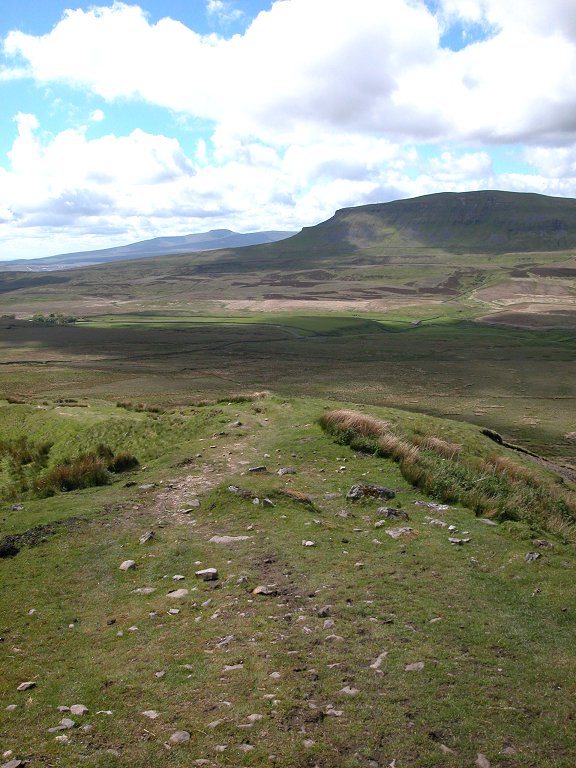
Approaching the summit ridge
The actual summit of the fell is bypassed
to its right; by all means stroll across to the top of you wish, for it
seems a real waste to come so far and not get to the very top. A
stone
wall crosses the path, following the summit ridge; here you are leaving
the drainage system of the Aire and entering that of the Wharfe. In
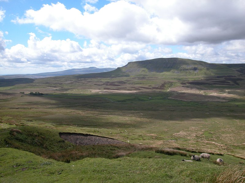
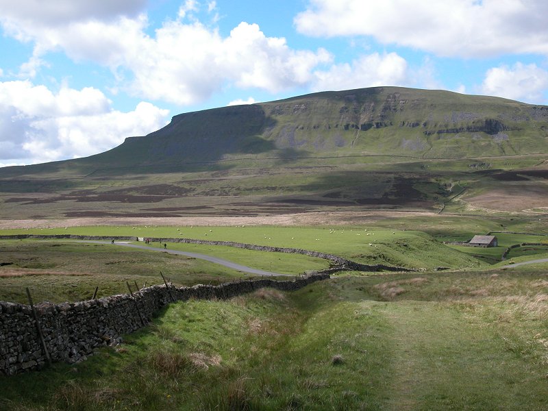
front
of you is the whaleback summit of Pen-y-Ghent, seen across the lonely
Silverdale
- Halton Gill valley; its southern ridge is interrupted by two vertical
sills, one of limestone and the other of gritstone. You'll be climbing
this ridge next. To the left, and rather more distant, is the characteristic flat top of Ingleborough.
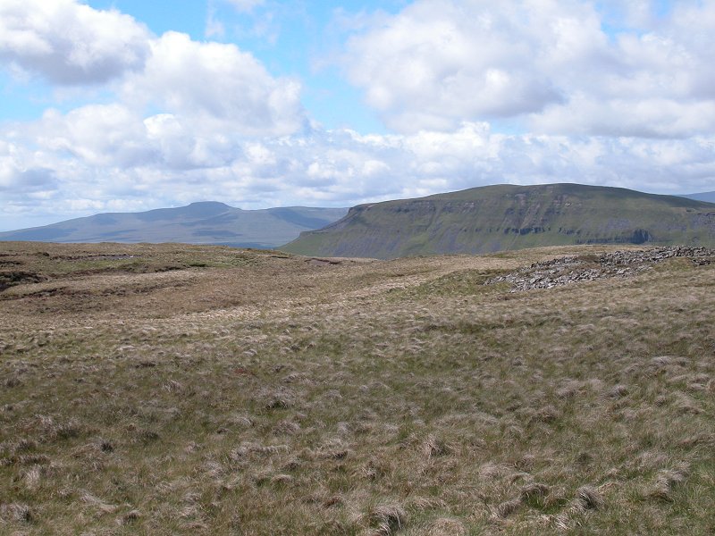
Ingleborough and Pen-y-Ghent from the top; the descent
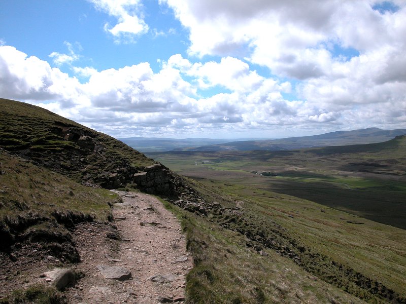
The route off Fountains Fell continues
north
west off the summit dome for a short distance, then turns generally
west
to head diagonally down the slope. Once you hit a drystone wall, follow
this on the right-hand side (the summit of Pen-y-Ghent will be
immediately
in front of you). At the next junction of stone walls a little-used
path
goes off to the left; this used to be the official route of the PW but
few hikers ever followed it, most preferring the direct route to the
road
below by continuing alongside the wall. The official route of the PW
has
been altered to follow this preferred path.
The descent from Fountains Fell
Pen-y-Ghent; the PW descending Fountains Fell; a retrospective view of Fountains Fell
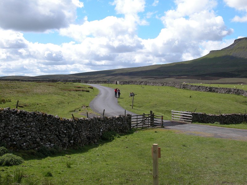
Pen-y-Ghent; arriving at the road
The final mile is a roadwalk, along the
road
to the southwest. Unfortunately it's slightly uphill, and you are
heading
for the col between this nameless valley (coming up from Halton Gill in
Littondale) and Silverdale (an offshoot of Ribblesdale), and thus
Britain's
main watershed. You pass the lonely farm of Rainscar and ultimately
reach
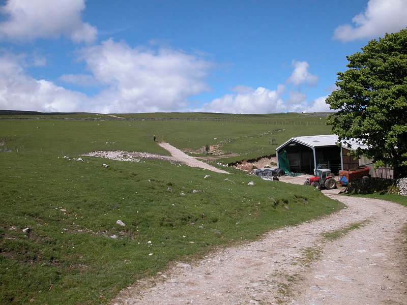
another lonely farm, that of Dale Head.
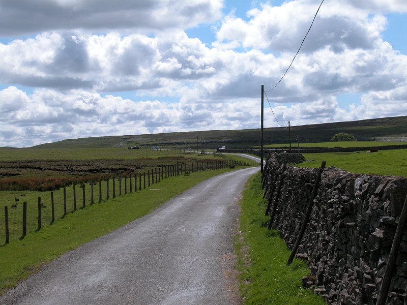
The road walk to Dale Head
|
£6.00
inclusive
of postage / packing. |
| Thornton in Craven to Malham | Back to Pennine Way index | Dale Head to Horton-in-Ribblesdale |
This page last updated 10th November 2005
