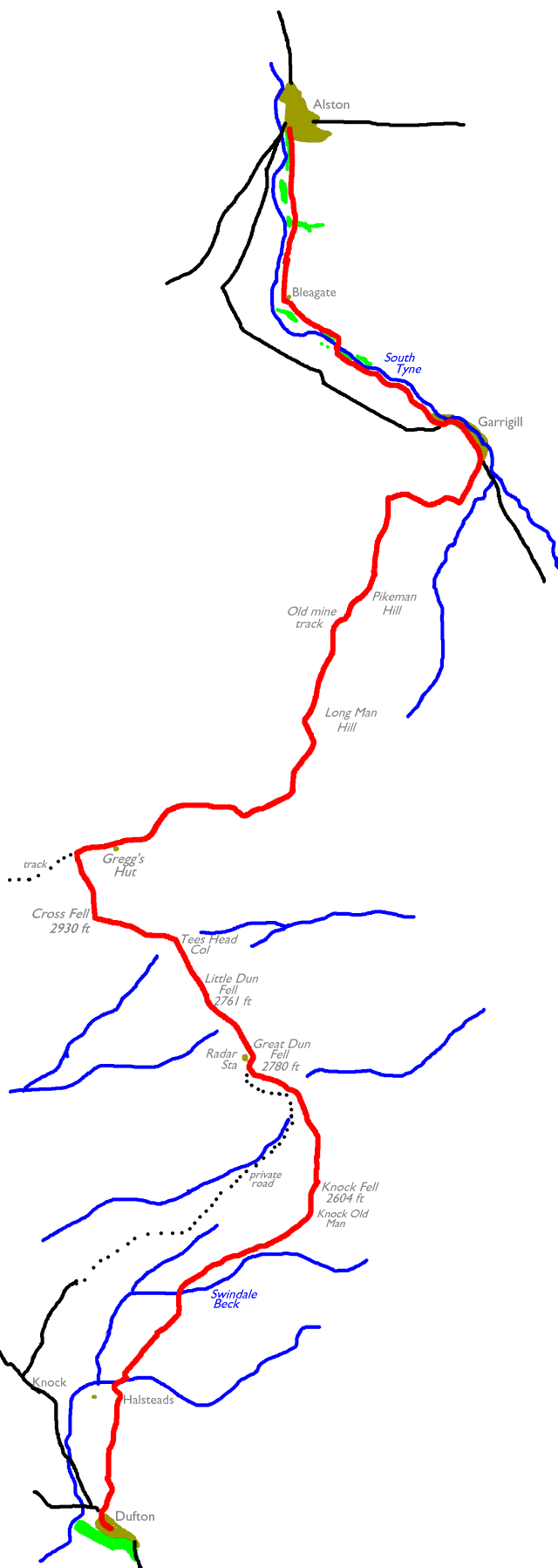
The Walk
Today’s walk is a challenging one. At 19½ miles it is not
only the longest single section of the Pennine Way, but also the
highest. It includes the traverse of the three highest summits of the
Pennines; Great Dun Fell, Little Dun Fell and Cross Fell (2930
ft). No other part of the entire End-to-End walk achieves this
elevation. The walk takes us from the Eden valley to that of the South
Tyne, but it is wholly within the county of Cumbria.
Although you’re in for plenty of effort, the walk is not
difficult. The section along the high tops themselves is on grass, the
initial approach along the Eden valley is by a succession of field
paths and farm lanes, and the descent from Cross Fell to Garrigill is
on a good track (reckoned to be the quickest and easiest section of the
whole Pennine Way). It’s the long ascent of Knock Fell, and the
potentially confusing series of footpaths between Garrigill and Alston
at the end of the day, which are most likely to be tiring.
There are two opportunities for breaking the walk down into
smaller sections if you wish. Some walkers opt to end the day at
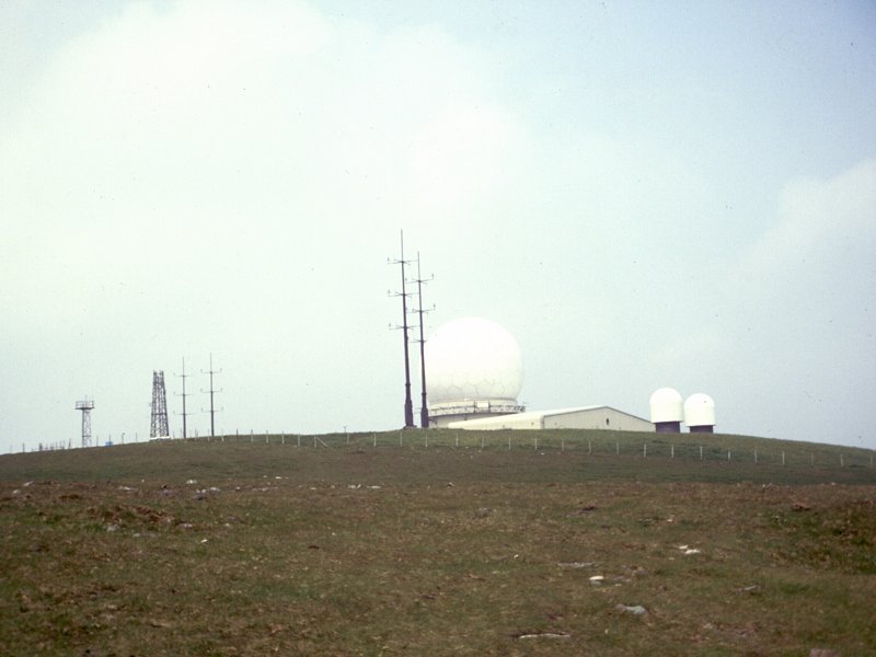
Garrigill rather than Alston, and there is an opt-out point at Great
Dun Fell, where the private road to the Civil Aviation Authority’s air
traffic control station reaches the summit.
|
Walk Statistics:
|
| Length: |
19.4 miles / 31.2
km |
| Total ascent: |
3497 ft / 1066 m |
| Total descent: |
3226 ft / 983 m |
| Estimated time: |
7 hrs 23 mins |
Maps: OS 1:25000 Outdoor Leisure 31
(North Pennines and Teesdale), 19 (Howgill Fells and Eden Valley)
Click on
any thumbnail image in this gallery to display the corresponding full
size
image. The images are access protected through a cgi script to prevent
hotlinking. If you encounter problems while trying to view the full
size
images, please read the access advice
page.
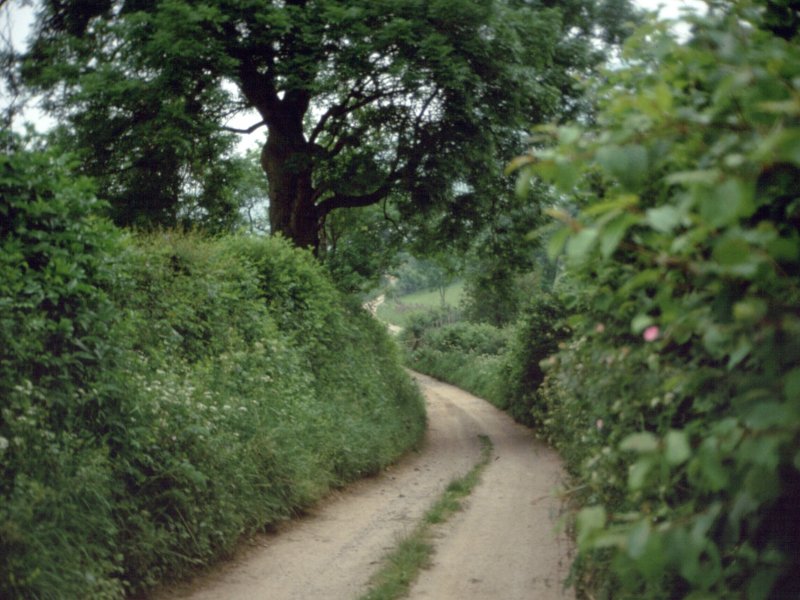
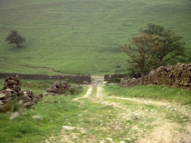
Dufton

 Coatsike farm lane: nearing
Halsteads
Coatsike farm lane: nearing
Halsteads
Our route leaves Dufton to the north
from the village green. At the point where the road to Knock turns off
to the left, go straight on along a lane which leads to Coatsike Farm.
Pass immediately to the left of the farm buildings to follow a path
alongside a substantial hedgerow, formerly the access drive to
Halsteads farm a mile to the north. The conical height of Dufton Fell
rises immediately to your right.
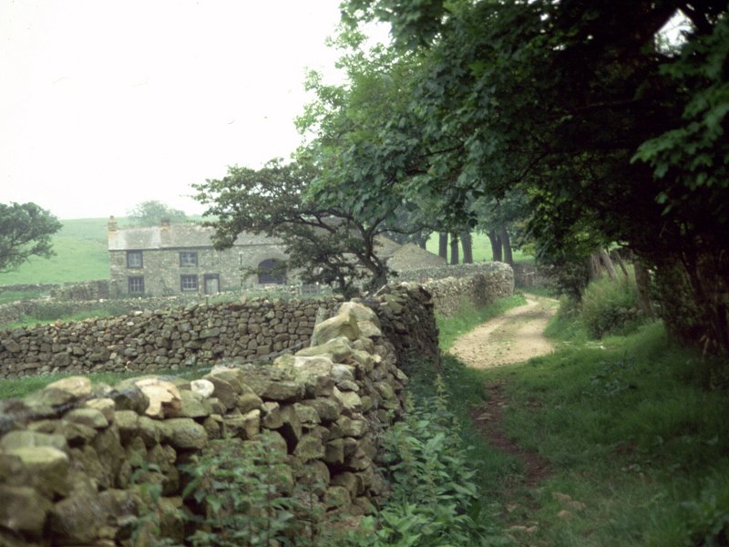
Halsteads
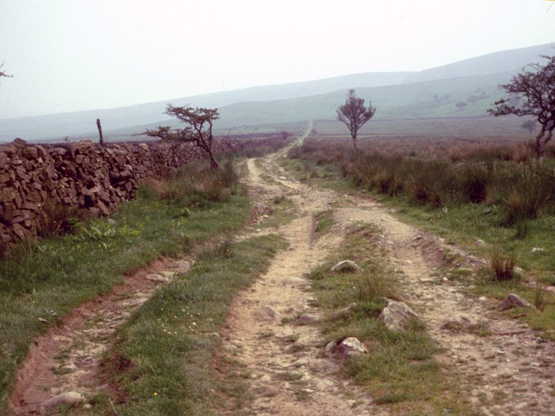
Knock Fell
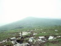
 The Swindale Beck path
The pastoral beauty of the Eden Valley
ends quite suddenly. Once across the stile you're back in the familiar
country of Pennine moorland, rough grasses and peat bogs. Follow the
path across the declivity of Swindale Beck and then onwards alongside
its north bank.
 The long climb of Knock Fell
The ascent of Knock Fell is long and
tedious, and it's useless to pretend otherwise. If the sun is shining
you will be rewarded by the exhilaration of the climb and the
increasingly fine views back across the vale of Eden. Otherwise it can
be a real slog. As Swindale Beck peters out the way becomes rougher,
wetter and less well defined. Eventually, however, you arrive at the
enormous cairn of Knock Old Man.
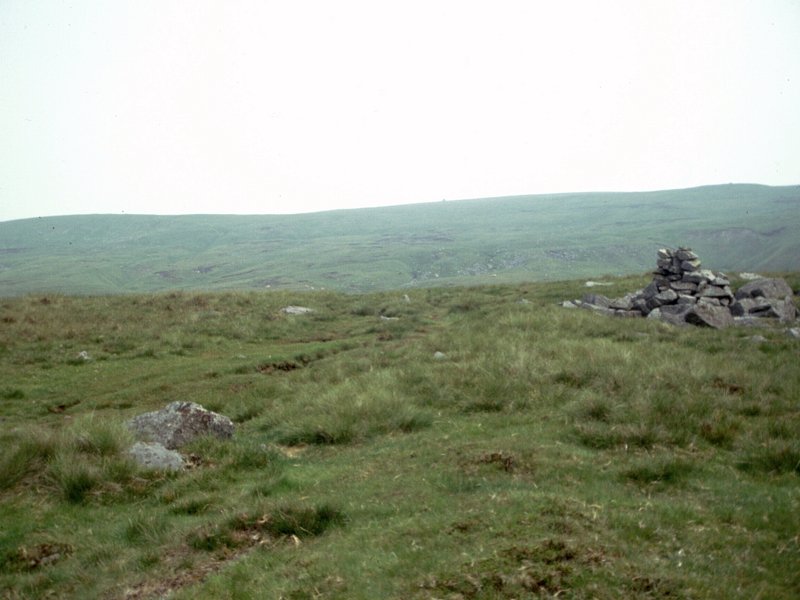
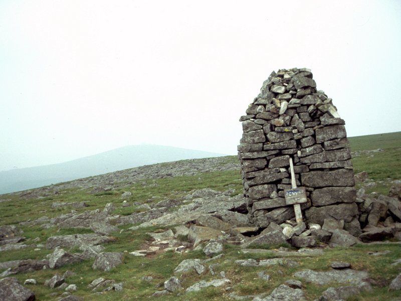
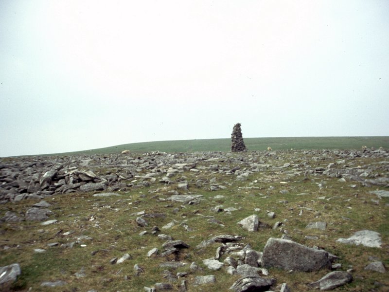
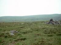
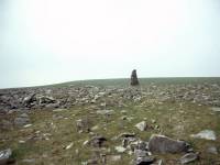
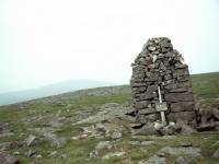 Knock Old Man
Wainwright notes that there are a good many cairns on Knock Fell. The
biggest cairn is Knock Old Man, which is a good 200 metres short of the
actual summit. It’s a local landmark and its bulk allows it to function
as a small but welcome wind shelter. The summit cairn is unimpressive
by comparison.
Knock Fell, at 2604 ft, is the highest point yet reached on the Pennine
Way (and indeed the entire End to End Walk). At the summit turn half
left to follow the ridge. Like most Pennine ridges it’s broad, flat and
rather wet in parts. The path is virtually straight for the best part
of a mile, and leads to the col between Knock Fell and Great Dun Fell.
At the col you reach a surfaced road coming up from Knock, four miles
away. This is not part of the public road network, but a private road
serving the air traffic control radar on the summit of Great Dun Fell.
However, walkers can use it for access to or from the route. The road
is the highest surfaced road in the UK, beating both the Applecross and
Glenshee roads in the Scottish Highlands by some 700 ft, though these
remain the highest points on the public road network.
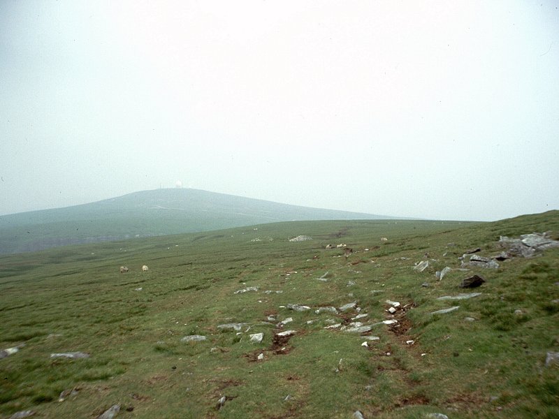
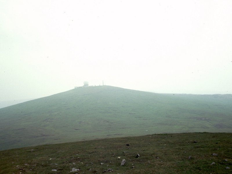
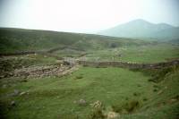
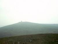
Great Dun Fell
You have a choice of following either the road or the original path,
which runs a couple of hundred metres to the northeast. The path heads
for the top of Dunfell Hush, an artificial channel created by the
mining industry. There are several examples of hushes nearby – their
purpose was to wash away the topsoil to expose the bedrock and any
mineral deposits it might contain. Turn right at the head of Dunfell
Hush to follow the path northwards, heading to the right of the radar
facility.
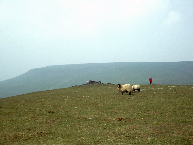
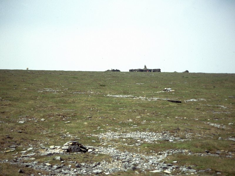
Little Dun Fell
 Looking
back to Great Dun Fell; The
summit of Little Dun Fell
Looking
back to Great Dun Fell; The
summit of Little Dun Fell
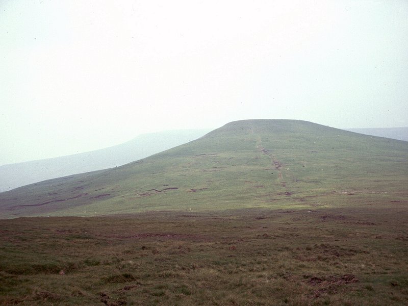
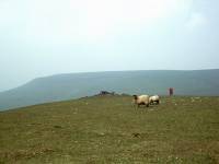
Walk another half mile down to the
slightly juicy col at 2750 ft, then commence the easy climb to Little
Dun Fell at 2761 ft. This really is a wild place. Except for the radar
station to your rear, little of the hand of man is visible. The vast
emptiness of Stainmore Common lays to the east while the bulk of Cross
Fell dominates the view just a mile to the northwest. If the day is
clear you should be able to see the fells of the Lake District on the
skyline to the southwest.
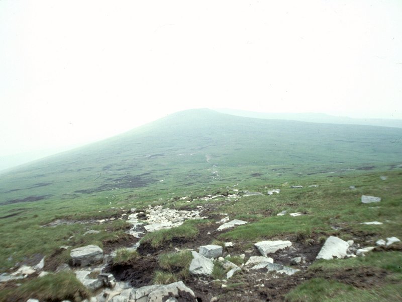
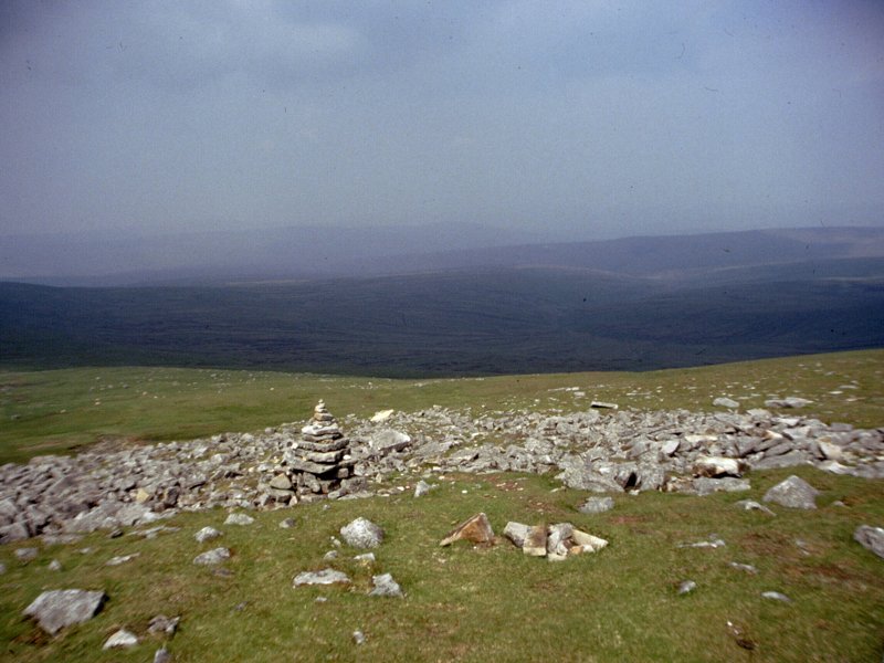
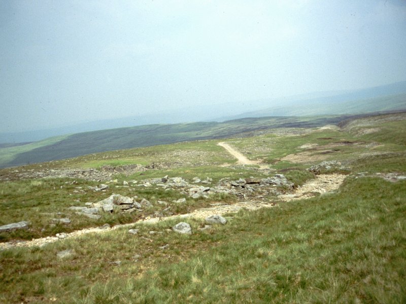
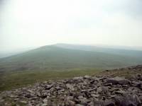
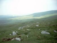
 Cross Fell from Tees Head Col
It’s the best part of two miles to the
top of Cross Fell and there are no intervening landmarks except for the
odd sheep. The col between Little Dun Fell and Cross Fell is generally
regarded as the source of the river Tees, and was on the boundary
between Westmorland and Cumberland before these two ancient counties
were amalgamated into Cumbria. It’s a steady climb to the top of Cross
Fell itself.
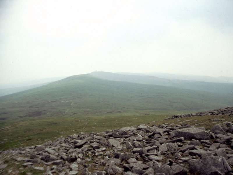
Cross Fell
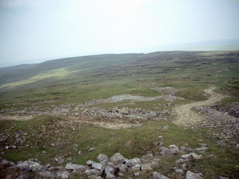
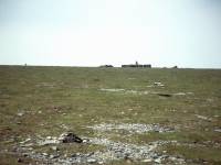 The
Dun Fells from Cross Fell; a
stone man on the summit plateau; approaching
the summit
The
Dun Fells from Cross Fell; a
stone man on the summit plateau; approaching
the summit
The summit plateau of Cross Fell is
broad and almost flat, and is ringed by a circle of boulders at around
2800 ft. Continue to head northwest until you find the enormous,
cross-shaped wind shelter. Unless the weather is inclement this is a
favourite place to stop for lunch.
Cross Fell is the highest point of the Pennines and the summit of our
walk, at 2930 ft. It’s also the highest point of the main watershed of
England but there are eight higher summits in the Lake District, some
forty miles to the southwest and visible on clear days. To the left is
the drainage system of the river Eden, behind to our right is that of
the Tees, and ahead to our right is that of the Tyne. The view from
Cross Fell encompasses a substantial part of northern England and on
the clearest days both coasts should be visible, but you will not see
much in the way of habitation. You’re six miles from the nearest
village.
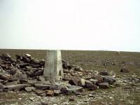
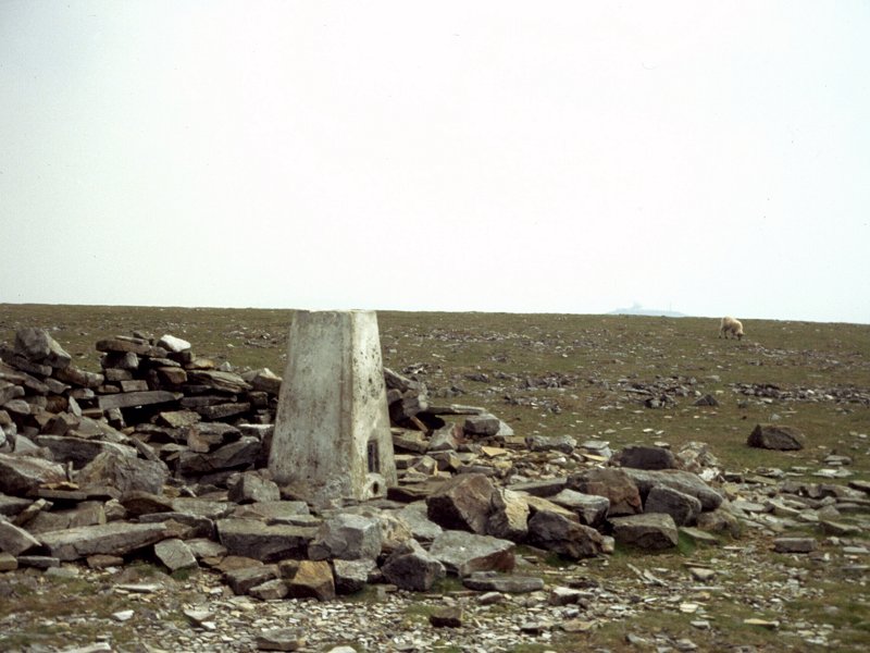
 Summit
trig pillar; the
descent path to the north; joining
the Corpse Road
Summit
trig pillar; the
descent path to the north; joining
the Corpse Road
Leave Cross Fell to the north. You may
wish to consult your compass here as the summit plateau is featureless
and one cairned path tends to look like another. Go wrong here and you
will find yourself descending into the trackless and empty country to
the west, miles from anywhere. The Pennine Way route crosses the far
side of the ring of boulders and then descends on grass until, at 2550
ft, you reach a good path heading east-west. Turn right and follow this
path for eight miles to Garrigill.
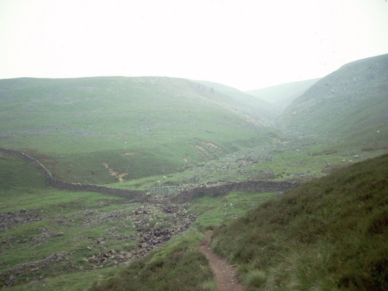
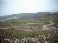
Corpse Road
All the guidebooks tell us that the path is an old corpse road.
Apparently these roads existed to link outlying villages with the
nearest consecrated ground where the villagers would be able to bury
their dead. This road linked Garrigill, in the south Tyne valley, with
Kirkland. It doesn’t make sense to me that the good folk of Garrigill
would transport their dead all the way over the Pennines to Kirkland
rather than four miles down the valley to Alston, but perhaps a local
historian might like to contact me and put me right.
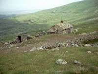
 Gregg's
Hut; the
corpse road
Gregg's
Hut; the
corpse road
Half a mile along the path eastwards of
the Cross Fell ridge you reach a former miner’s cottage, known nowadays
as Gregg's Hut. It is maintained as a bothy or bad weather shelter for
walkers, and is probably the UK’s highest inhabitable dwelling. It even
has a rudimentary lawn, but don’t expect electricity or running water.
Further down from Gregg's Hut the track passes a number of former lead
mine workings. There isn’t much to see apart from spoil heaps, but
should you happen to chance upon a shaft or tunnel, avoid it. The old
workings are dangerous.
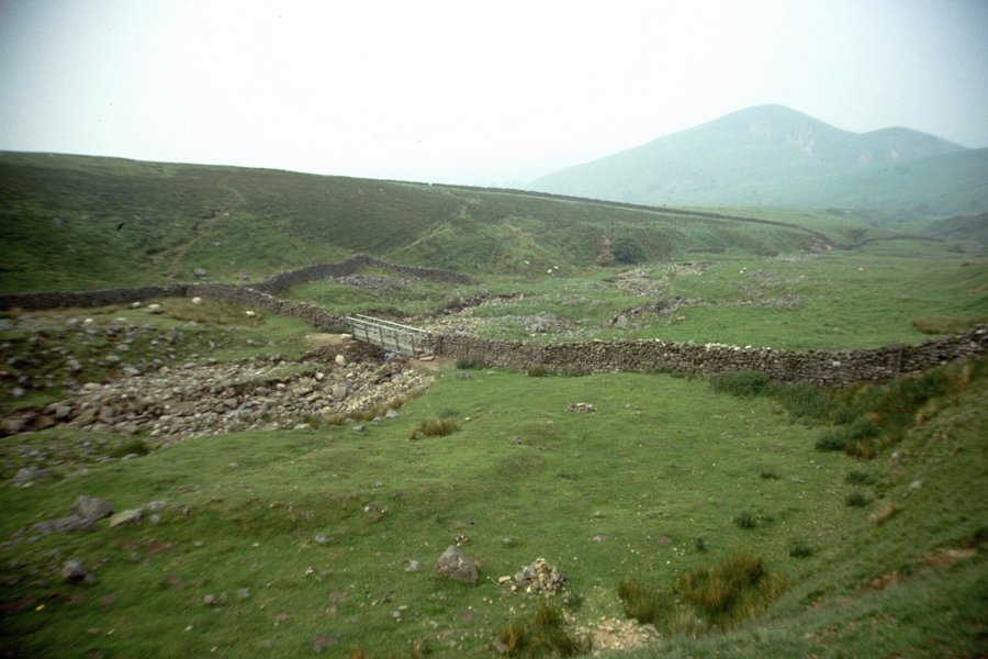
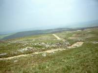
Long Man Hill
Three miles beyond Cross fell the track bends to the left to head
around Long Man Hill and Pikeman Hill. Over to the north the scene is
one of desolation, a world empty of anything except undulating
moorland. Somewhere out there is the Alston – Penrith road, a lonely
ribbon of tarmac that features the Hartside Cross inn at its 1900 ft
summit.
 The Pennine Way near Long Man Hill
Beyond
Pikeman Hill the track, more substantial now, converges with a stone
wall on the right. Soon afterwards you reach a pasture boundary, and a
second stone wall on the left. These twin walls enclose the lane for
the three miles down into Garrigill in the South Tyne valley, said by
Wainwright to be the fastest three miles of the entire Pennine Way.
Garrigill
Garrigill will seem like a throbbing metropolis after the last three
days’ walk, but it’s still a small village and there are not a great
many facilities. The village green is often strewn with the supine
figures of resting walkers and cyclists and the village shop does good
business supplying their immediate needs. Some walkers choose to stay
here overnight but it’s a fair bet that the good majority of them will
continue to the market town of Alston, four and a half miles further on.
Start off along the Alston road but after about 400 metres, where the
road bends away from the riverbank, abandon it for the riverside track.
There’s a pleasant riverside walk for the next mile and a bit, among
scenery of river meadows and trees. Cross the footbridge to the
northeast bank of the South Tyne. Now the route becomes intricate and
you will need to follow the map carefully, keeping an eye on the field
boundaries.
Follow the route past the farm of Sillyhall, which you leave to your
right. A few pastures further on you reach another farm, Bleagate. The
route is intricate here and there is ample opportunity to get lost. Go
immediately to the right of the farm buildings and over two stiles,
then left through a gate, then right again – you should be on the
correct route. Another half mile of pastures brings you to a ribbon of
woodland, which you pass immediately to the right. Behind it, the South
Tyne meanders back again to run parallel with the path.
Alston
The final mile or so into Alston runs high above the riverbank, with
various strips of wood, pasture and meadow laying alongside. Finally, a
flight of steps runs down to the riverbank just beside the road bridge
carrying the Penrith road out of Alston. The Pennine Way goes across
this bridge to follow the west bank of the river, but we leave it here
to walk acros the road for the remaining few hundred metres into Alston.
Alston is a handsome place, stone built and vying with Buxton as the
highest market town in England. Historically it is a lead-mining
centre. There are several hotels and guest houses in the town, and
enough pubs and cafes to allow you a good choice of venues for your
evening meal. Buses run to Penrith and Hexham though there are only a
few per day. The town also has a preserved railway, built along part of
the old South Tyne route, though it’s a tourist attraction rather than
a passenger service and doesn’t go anywhere useful.