| Yealmpton to Ivybridge | Back to Devon Coast-to-Coast index | Dartmeet to Chagford |
| Yealmpton to Ivybridge | Back to Devon Coast-to-Coast index | Dartmeet to Chagford |
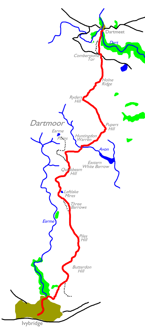
Dartmoor is a land of wide open spaces, gentle gradients, firm terrain, glorious views and few people. In contrast to the rather bitty walk from Plymouth to Ivybridge, this is a place where you can really stride out and feel the miles melting away under your boots. The moor is not hazardous as long as you don't undertake the walk in wet or misty weather. Today's walk, which reaches the centre of the moor at Dartmeet, initially follows the Two Moors Way, most of which lies along the trackbed of an old mineral railway. Then it strikes out along an ancient and rather ill-defined path, the Abbot's Way, before climbing Puper's Hill. From there a glorious ridge walk lies ahead as far as Ryder's Hill, from where you walk northeastwards to drop down to the road at Comberstone Tor, and then take the footpath down to Dartmeet in the valley just below.
The key to today's walk, if you're relying
on public transport, is the bus service out of Dartmeet (in 2002 this
service
is scheduled to run on summer Sundays, and daily mid-July to
mid-August,
see timetable link below). An early start from Ivybridge is advisable
and
you should certainly be on the trail by 9.30am. If you're backpacking
then
remember that there are no campsites and no B&B at Dartmeet. A
second
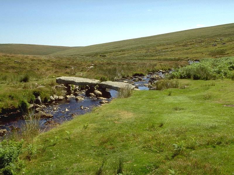
point to bear in mind is that the walk crosses the West Dart, just
short
of Dartmeet, by a set of stepping stones. This crossing might be
hazardous,
or even impossible, if the river is in spate after heavy rain or
thawing
snow. A detour via Hexworthy to circumvent the obstacle would add
nearly
an hour to your journey. But, in high summer and under blue skies,
there
is nothing to worry about. The walk is pure joy.
|
|
|
| Length: | 14.72 miles / 23.7 km |
| Total ascent: | 2003 ft / 610 m |
| Total descent: | 1434 ft / 437 m |
| Estimated time: | 5 hrs 16 mins |
The boundary of Dartmoor National Park lies immediately north of the railway. Follow the Harford lane a little way until you reach Stowford, where a Two Moors Way marker directs you to an unmade lane to the right. Turn immediately left again onto a track that leads uphill, through trees. After another five hundred yards you reach a gate and stile and beyond you lies wild, open country.


The old railway trackbed, which you now follow, loops around the western shoulder of Butterdon Hill, gaining height all the time. The walking here is effortless and the views are glorious. A mile further on the track reaches the ridge south of Piles Hill and then goes on to cross it. Ugborough Moor lies beyond.

Piles Hill from Ugborough Moor


Plymouth from Ugborough Moor; telephoto view of Plymouth; Three Barrows
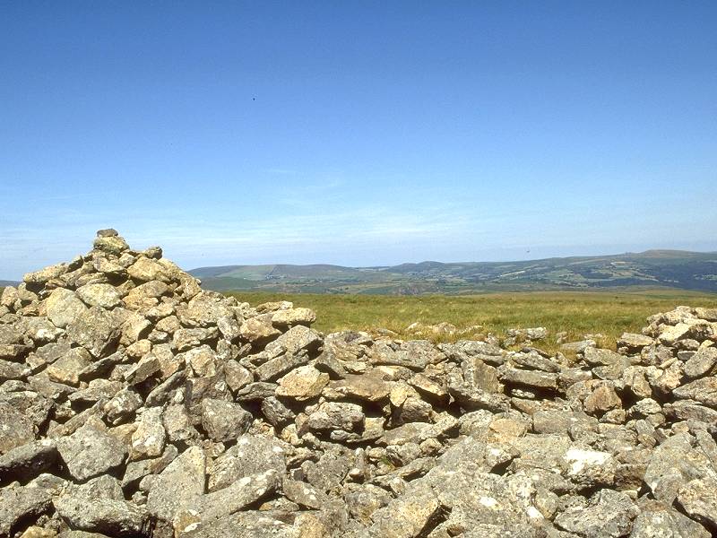
Ugborough Moor, a stretch of moorland actually indistinguishable from the rest of Dartmoor, lies just south of the prominent summit of Three Barrows. When I did this walk in July 1995 I left the old railway at this point and walked up to the summit of Three Barrows, named for the three rocky outcrops that stand on the crest of the rise.


Walk northwest, roughly towards the BBC radio mast at North Hessary Tor (which should be in view by now), to regain the tramway just short of the lake at Leftlake Mires.


Earme Plains from Three Barrows; Leftlake Mires; Earme Plains trackbed
You are now entering what was formerly a complex of china clay quarries at the head of the Earme valley. You pass a body of water to the right of the track, Leftlake Mires, a filled-in clay pit. Remains of buildings and processing works can be seen here and there. North of the lake, the tramway loops around the shoulder of a nameless hill before curving back along the eastern edge of the formless, flat bowl of Earme Plains itself.


Cross the bridge and follow the north banks of the stream for a few hundred yards. The bridge might appear to be a tempting lunch stop, but every insect in a five mile radius also has the same idea. Press on to Huntingdon Cross, where the valley turns south east and is joined by another stream coming down between Huntingdon Warren and Pupers Hill. The remains of an ancient settlement can be found nearby. Huntingdon Cross makes an excellent lunch stop. (It might also make an ideal wild campsite, but don't tell anyone I said so. In particular you should avoid polluting the streams hereabouts as the Avon is run into a water supply reservoir a mile downstream).


Once again the views are little short of amazing. The rocky tors (granite outcrops, for our non-UK readers) of Eastern White Barrow, which have been in view for most of the day, now lay about two miles to the south. The Dart valley is coming into view to the north and east, while beyond it is an impressive array of hills and tors surrounding the village of Widecombe, most notably Haytor. Two principal objectives of tomorrow's walk, Laughter Tor and Bellever Tor, can be seen slightly west of north. Your route now lies in this direction. Keep to the top of the ridge - it's as simple as that. The map shows no path but a faint track is appearing and will become more prominent as hikers discover what an excellent ridge this is.


View north from Snowdon; the ridge to Ryders Hill; eastwards to Buckfast
Snowdon is the next top on the ridge, about a kilometer north northwest of Pupers Hill. Veer to the northwest now and continue along the easy ridge towards Ryders Hill, the highest point of today's walk.
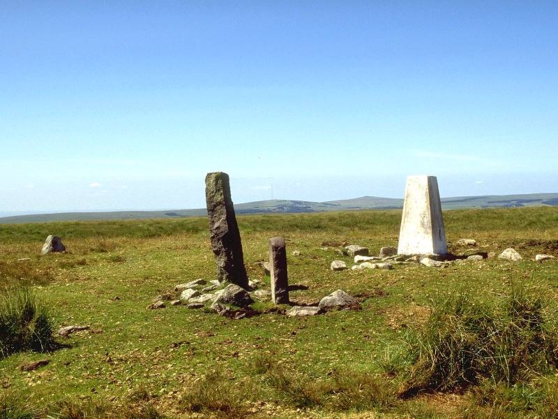

The next section needs some careful navigation. You're heading for Holne Ridge, to your north east. There is no path. My advice is to head initially north, for two or three hundred yards, until you come to an earth bank (obviously artificial but not marked on the map). Now start heading north east. Occasional traces of path appear, only to peter out again. You also pass a number of standing stones, obviously erected as markers of some kind. Holne Ridge, being a convex slope, hides the road at its foot until you're quite a way down. Once the slope starts to steepen veer around to the north again. If you hit it right, the car park at Comberstone Tor should come suddenly into view, a mile to the north. The descent, on pathless short grass, is easy and delightful.


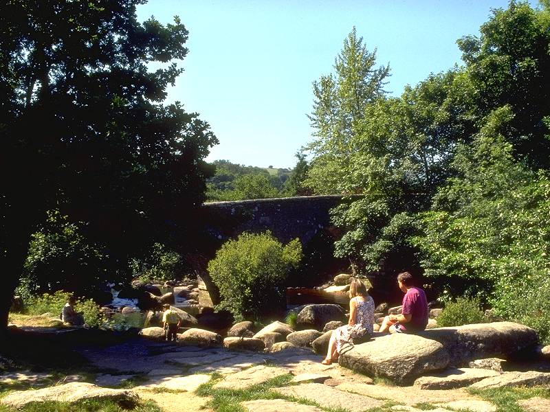
Pick your way among the granite outcrops and the gorse bushes in a northwesterly direction, where you'll soon pick up the footpath leading down into Dartmeet. The path swings north, ambles through pastures alongside Comberstone house and between stone walls, then descends through an area of boulder-strewn open woodland to reach the stepping stones over the West Dart.


![]() Bus
service
172,
Totnes - Newton Abbott - Dartmeet - Tavistock, 2002 timetable for summer
Sundays and bank holidays, and weekdays mid
July
to late August
Bus
service
172,
Totnes - Newton Abbott - Dartmeet - Tavistock, 2002 timetable for summer
Sundays and bank holidays, and weekdays mid
July
to late August
|
£3.50
inclusive
of postage / packing. |
| Yealmpton to Ivybridge | Back to Devon Coast-to-Coast index | Dartmeet to Chagford |
This page last updated 17th May 2005