
| Bath to Old Sodbury | Back to Cotswold Way index | Wotton-under-Edge to Stroud |
| Bath to Old Sodbury | Back to Cotswold Way index | Wotton-under-Edge to Stroud |
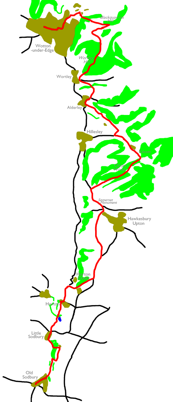
The second half of the walk is marked by a complex series of spurs and offshoots from the main scarp and the route of the Way follows the enclosed lateral valley of Kilcott, as well as heading a good way along the spur of Wortley Hill to approach Wotton-under-Edge, the day's objective, from the east. Pastures, woodlands, lanes and villages are the order of the day and a welcome lack of route finding problems makes this a very pleasant day's walk.
|
|
|
| Length: | 12.3 miles / 19.8 km |
| Total ascent: | 1484 ft / 452 m |
| Total descent: | 1623 ft / 459 m |
| Estimated time: | 4 hrs 19 mins |
Click
on
any thumbnail image in this gallery to display the corresponding full
size
image. The images are access protected through a cgi script to prevent
hotlinking. If you encounter problems while trying to view the full
size
images, please read the access advice
page.
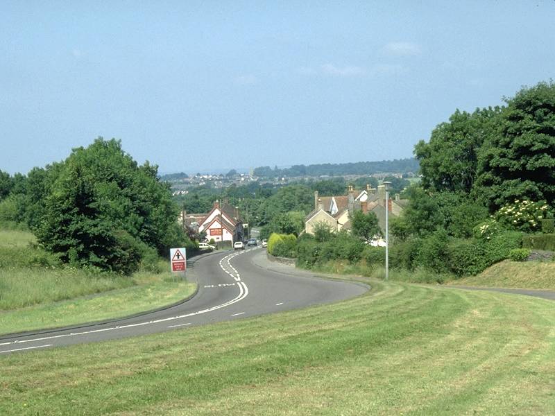
Old Sodbury
![]() Old Sodbury
is served by buses from Stroud, Bath, Tetbury and Swindon, while nearby
Chipping Sodbury is also served by a route from Bristol.
Old Sodbury
is served by buses from Stroud, Bath, Tetbury and Swindon, while nearby
Chipping Sodbury is also served by a route from Bristol.
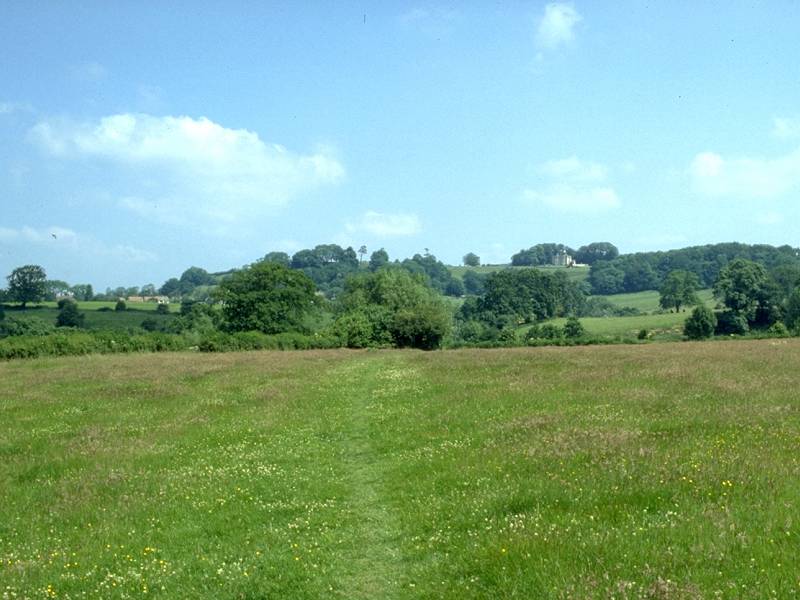
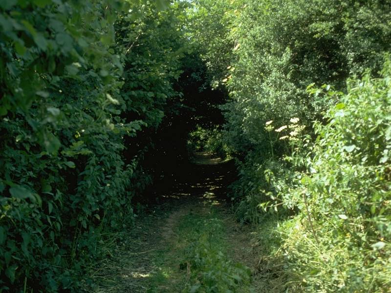
There isn't a lot to Old Sodbury. The route out of the village follows a lane to the northwest towards the church - a diversion through the churchyard, which doubles as a rather pleasant garden, is recommended. As the lane gives out just north of the church the Cotswold Way continues along a path, hugging the foot of the scarp slope to your right. After some 600 meters the Way now turns sharp right, to tackle a path directly up the slope beside a wood.
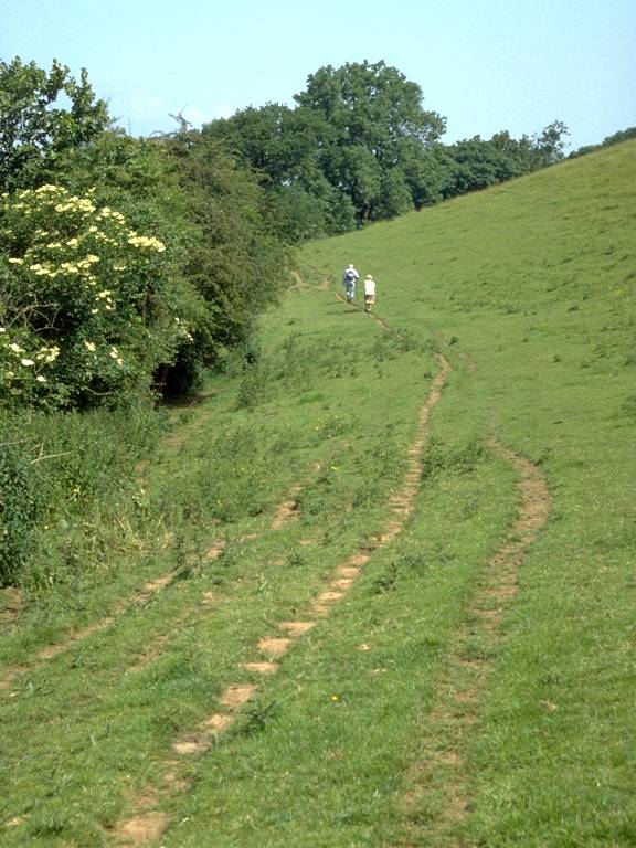
Woodside path climbing the scarp
Turn left again now to follow the lip of the scarp slope northwards. The Way here crosses Sodbury Fort, an extensive earthwork that was very probably an Iron Age hill fort. The Cotswold Way runs pretty much through the middle of the fort, making use of shallow depressions in the south and north dykes to enter and exit. You have a choice of two paths, both heading steeply downhill beside tree cover, to reach the village of Little Sodbury.
Little Sodbury is even smaller than Old Sodbury. Before the village itself you pass a manor house where William Tyndale, the man who translated the Bible into English, once lived. At the minor road junction at the north end of the village the route turns right, then left again after 150m to take a grassy tread across a pasture in the direction of Horton.
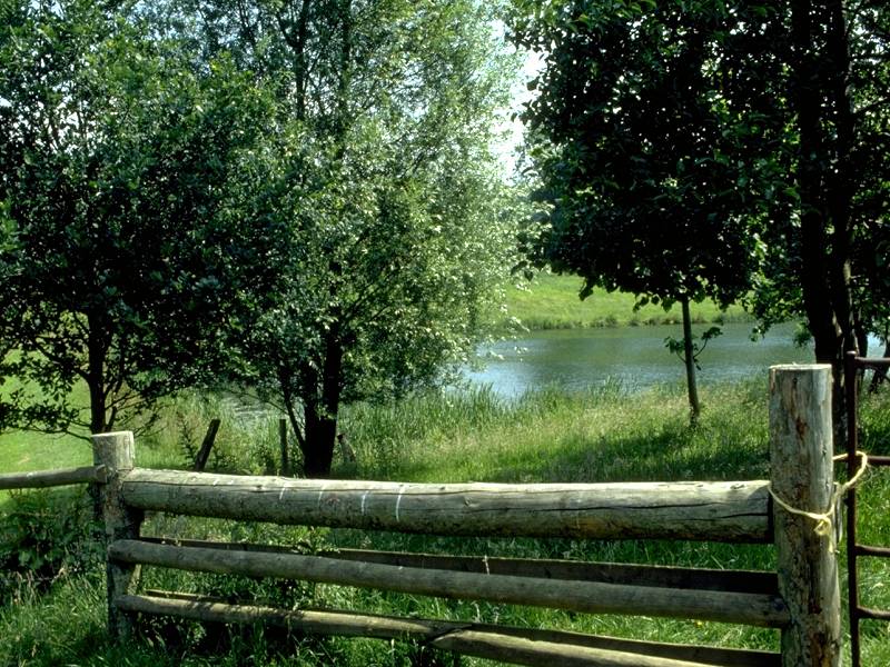
Horton Reservoir
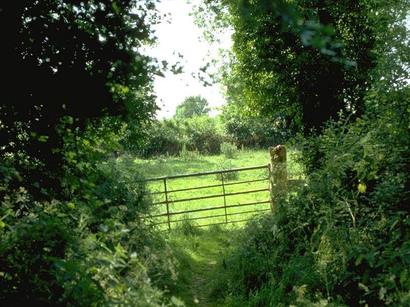
The Cotswold Way passes the tiny but picturesque Horton reservoir , nestling within an indentation in the scarp slope, then climbs the spur of a hill to reach Horton, another tiny locality.
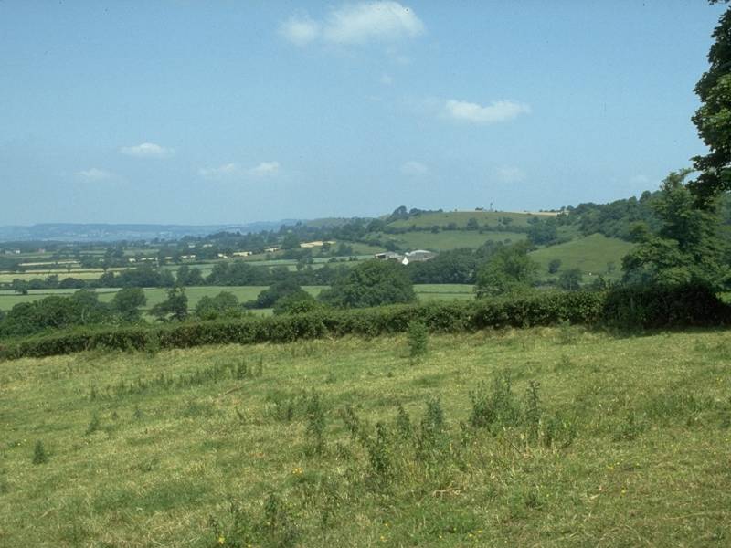
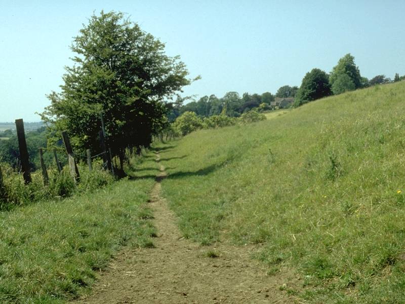
The route enters the village at its eastern end, once again turning right then left to follow a minor lane towards Horton Court. The Way leaves the road just before it reaches the court, which is a National Trust property thought to be the oldest inhabited house in England. Turning right, you climb steeply up the scarp slope, passing through a ribbon of woodland en route. At the top of the hill, just to the north of a 205m trig pillar, turn left and take the minor road of Highfield Lane to the north.
Bath Lane
The views from Highfield Lane are surprisingly uninspiring, considering that this one of the better placed stretches of the Cotswold ridge. After about a kilometre you leave the road for a farm track branching off left. This is Bath Lane.
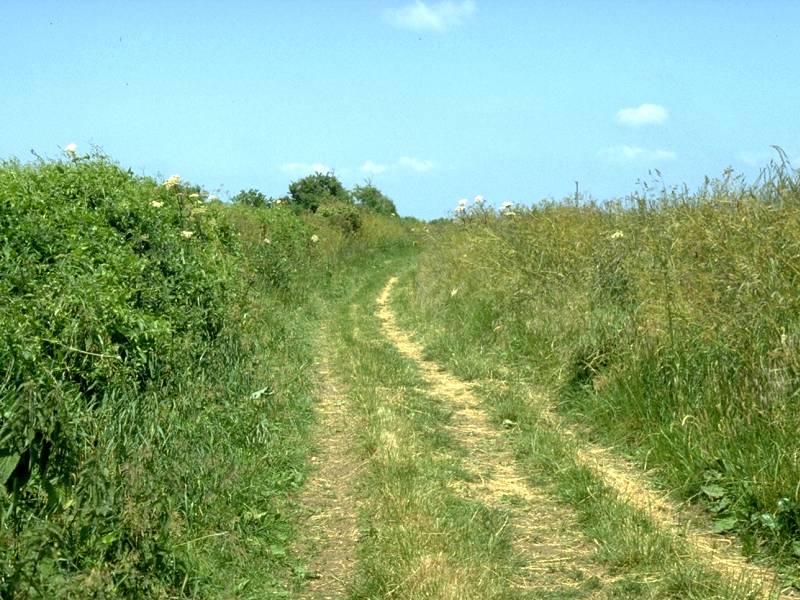
nearing the Somerset Monument
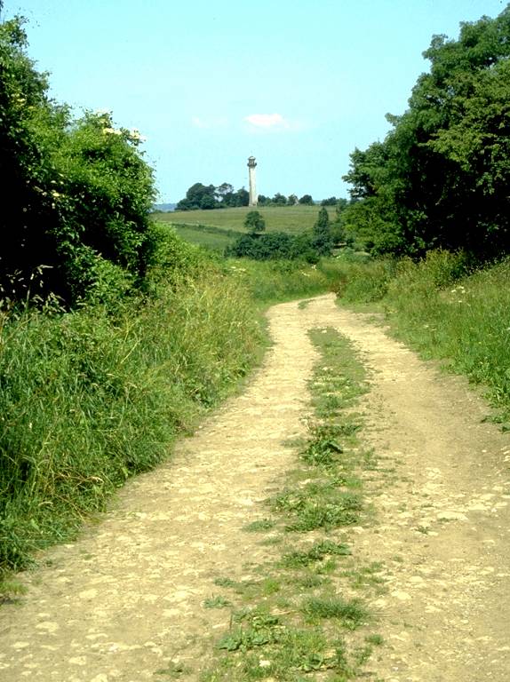
Bath lane gives easy, though largely uninteresting, walking for the next mile. Hawkesbury is down to the left at the foot of the scarp slope; Hawkesbury Upton lays to the right, a little way down the dip slope. The northwestern end of Hawkesbury Upton carries the name of The Barton, and it's here that Bath Lane disgorges you at the apex of a small green. Walk across the green and take the lane to the left, towards the tower of the Somerset Monument.
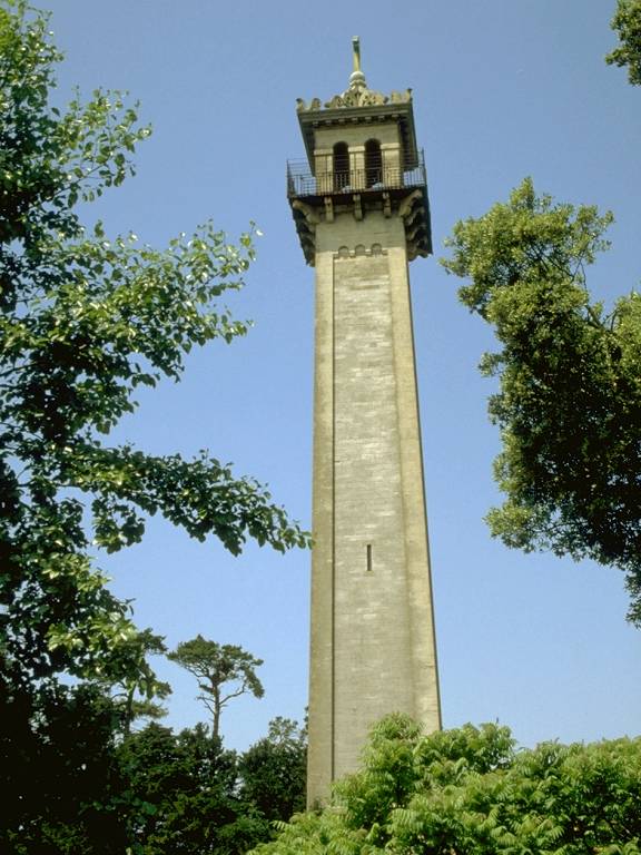
The Somerset Monument
The tower commemorates General Lord Robert Somerset, a military commander who served under Wellington at Waterloo. There is an observation gallery near the top but it was closed when I passed this way in 1992 and I have no information on its present status. The road forks at the monument; take the right fork and, in another 400m, leave the road for a prominent track to the right.
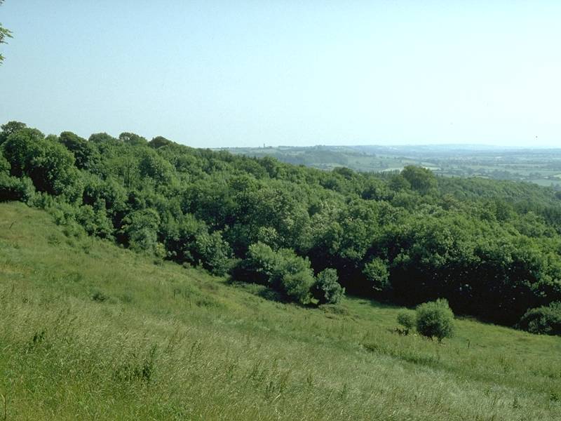
This particular footpath runs for a little over a mile, to the north east. It first runs between pastures, then enters the slightly gloomy portals of Frith Wood (where I remember stopping for lunch when I did the walk in '92).
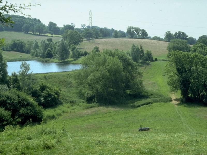
Claypit Wood
Frith Wood gives way to Claypit Wood, with open country sloping upwards to the right. Eventually you emerge at the Kilcott valley.
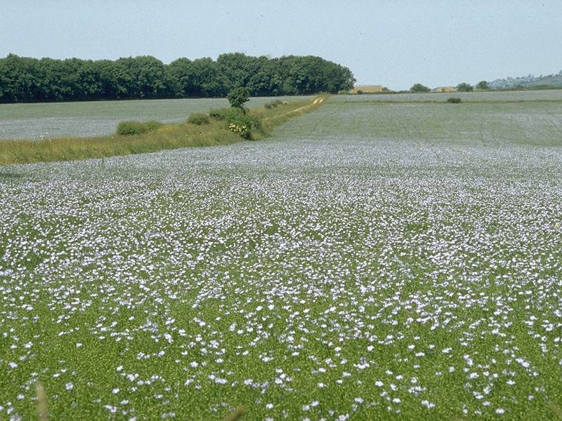
The Kilcott valley is a deep incursion into the Cotswold scarp and you get the impression that it's well off the beaten track. The route turns left at Kilcott (no more than a locality) to run along an unclassified and very quiet motor road for about three quarters of a mile. The stream in the Kilcott valley is modest yet, with the support of a millpond, it supported a thriving mill in centuries past.
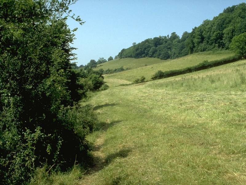
Pastures in the lower Kilcott valley
At Kilcott Mill the road tends west towards the village of Hillesley, and the route of the Cotswold Way doglegs right and left to follow a very pleasant grassy trod through the pastures of the lower Kilcott valley. Clumps of woodland and grazing horses add to the tranquility of the scene. At Foxholes Wood you cross another local authority boundary - you're leaving South Gloucestershire UA (part of what was the county of Avon between 1974 and 1997) and entering Gloucestershire proper, and the district of Cotswold.
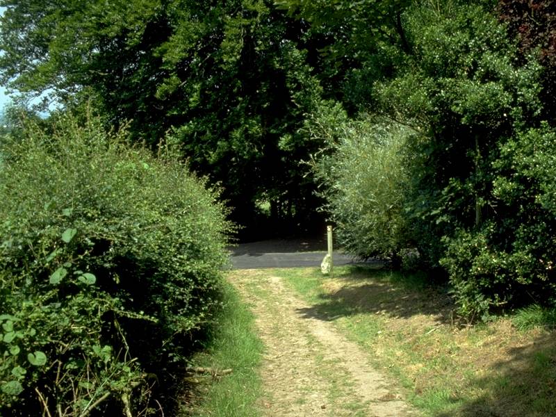
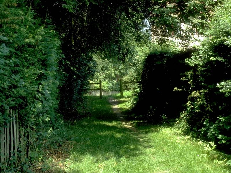
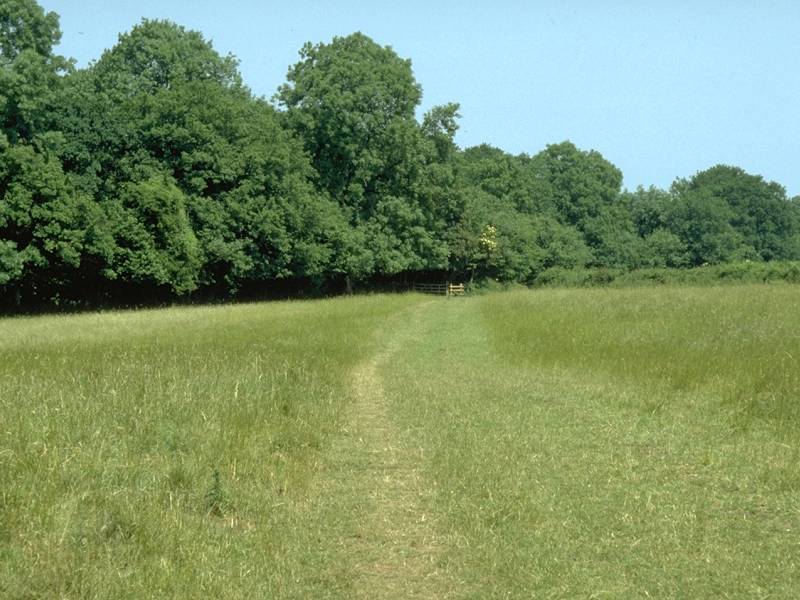
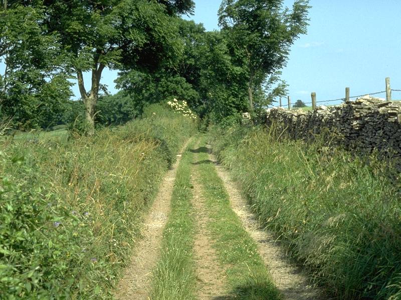
The Kilcott Valley path comes out into the village of Alderley, on the edge of the Severn vale. Alderley stands at the foot of a prominent offshoot of the main scarp that is sandwiched between the Kilcott valley and an apparently nameless valley that heads northeastwards directly into the scarp. Alderley is yet another village too small to have any facilities; should you be doing this walk on a summer day the prospects of a tea shop, or even a village store where you could get yourself an ice cream or a fruit juice, are continually frustrated. Walk through Alderley to the northeast to s slightly complex crossroads, where you take the unsurfaced track straight ahead; this forks onto two almost immediately and you should take the left fork. A farm track leads to a bridge over the stream, where you turn hard left to follow a field footpath towards Wortley, 500m to the west.
Footpath junction near Wortley
Wortley proves to be another tiny locality, a brief interlude of cottages to break up the general theme of pastures and woods. Wotton-under-Edge is now only a mile away by road and, should the weather have turned or should you be pushed for time, the diversion might be justified. The best part of the day is yet to come, however. At Wortley the route follows Hillmill Lane to the east for a very short distance before turning off right to tackle a steep, sustained climb of the main scarp via the spur of Wortley Hill.
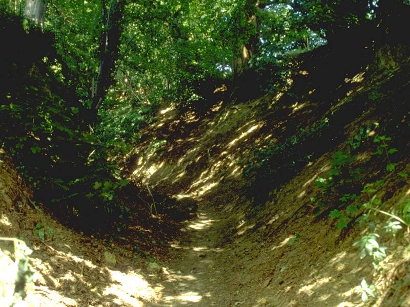
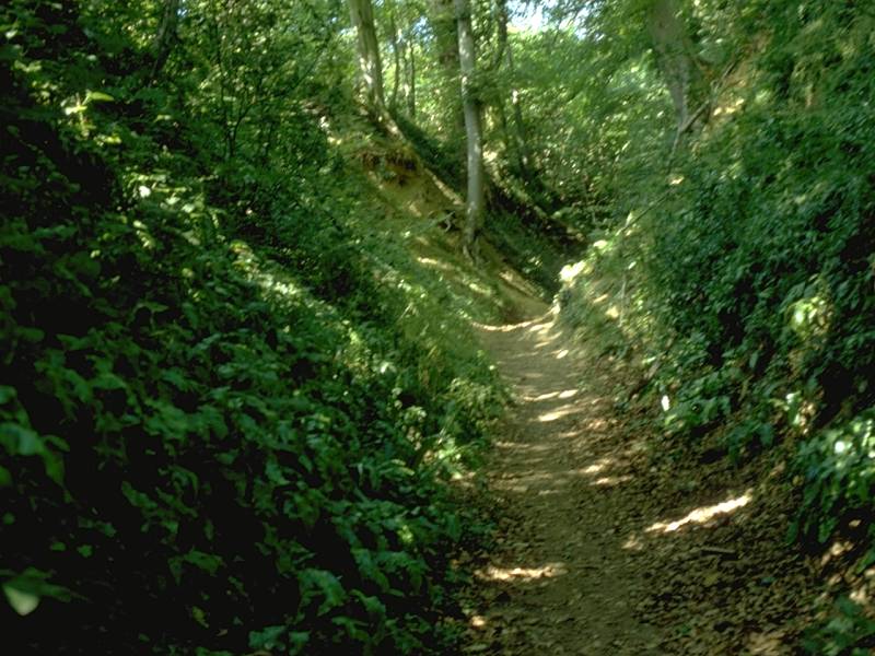
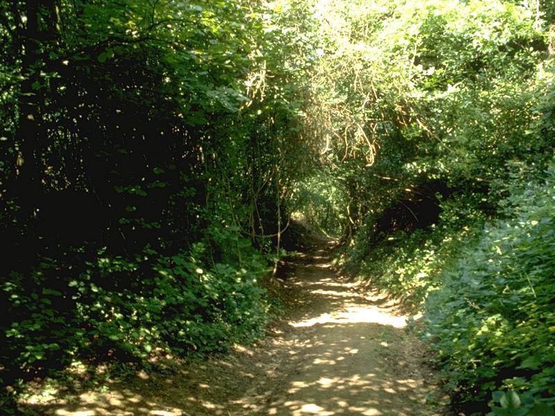
The ascent of Wortley Hill
An ascent of nearly 500ft is involved, much of it through a deep v-shaped tunnel in deep woodland. You can't help wondering why the path doesn't double as a stream bed. At the top of the scarp the Way comes out into the open and, over the treetops, you are rewarded with the first really outstanding view from the Cotswold scarp.
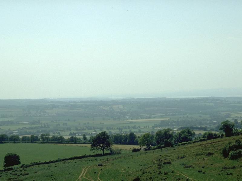
Views down to Wotton and back along the scarp towards Wortley and Alderley are excellent, but the eye is drawn across the Severn vale to the ribbon of water that is the Severn itself; the towers of the Severn Bridges should be well seen, and on a clear day the dark heights of the Forest of Dean and the Black Mountains of south Wales should be visible. These features are best seen in the mornings with the light behind you, however, and since you will almost certainly have reached this viewpoint in the late afternoon they may well prove elusive.
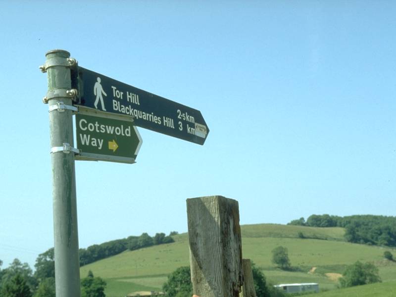
The Cotswold Way arcs around the edge of Wortley Hill but, as it approaches the outskirts of Wotton from above, it doglegs back to Blackquarries Hill.
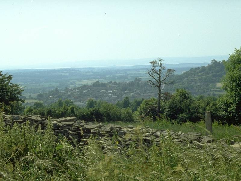
Wotton from Blackquarries Hill; the Cotswold Way above Wotton
There is no right of way down the spur direct to Wotton, so the route of the Cotswold Way adopts a farm track heading northeast along the edge of Blackquarries Hill to reach an unclassified road at a disused quarry. From here it's a walk of a mile and a half along the road, heading diagonally down the scarp slope, into Wotton.
There are bus services to Bristol and Stroud, though they tend to stop running relatively early in the day. The bus terminal is in Old Town, a quiet street to the north of the High St and Lion St (effectively the town centre).
![]() Stagecoach
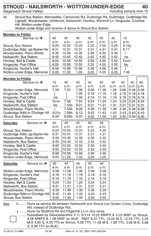
Stroud Valleys service 40, Wotton - Stroud
Stagecoach
Stroud Valleys service 40, Wotton - Stroud
![]() First
Badgerline service 306/309/310 Dursley - Wotton - Bristol
First
Badgerline service 306/309/310 Dursley - Wotton - Bristol
| Bath to Old Sodbury | Back to Cotswold Way index | Wotton-under-Edge to Stroud |
This page last updated 24th January 2004
![]()