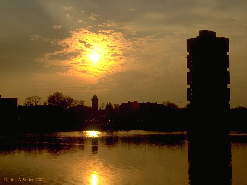
Canada Water, afternoon and evening
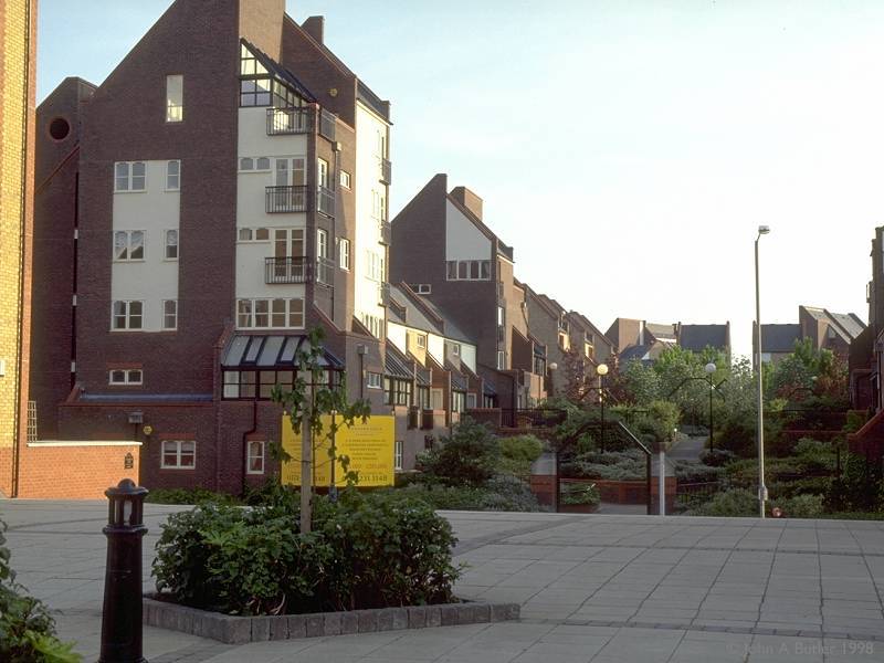
With the decline of the London docks in the last half of the 20th century, Surrey Docks fell into disuse and was remodelled as part of the overall Docklands development plan. The result is bold, imaginative and pleasing. Rotherhithe has had a great deal of money spent on it and the effect is more than worthwhile. Curiously, while the parallel remodelling of the Isle of Dogs across the river has received massive national publicity, Rotherhithe's renaissance has gone unnoticed. It's a mystery, for the new Rotherhithe is just as smart, just as opulent, and just as visually arresting as its neighbour across the water. One can wander among its lanes now and lose oneself within a network of lakes, walkways and green open spaces, beside which stand a myriad of smart new houses and blocks of apartments. No Eastern European gauntness, Western high-rise one-upmanship or English suburban uniformity here - no two buildings are alike and every one is smart and visually pleasing. There are few exceptions and those that exist are either commercial premises (such as the new Express Newspapers print works) or the few rows of houses that remain from earlier times. There are even a few roads of real suburban semis with real gardens. Rotherhithe now has more of the air of a prosperous outer suburb or even a country village than an inner-city precinct. I like Rotherhithe.
Click on any thumbnail image in this gallery to display the corresponding full size image. The images are access protected through a cgi script to prevent hotlinking. If you encounter problems while trying to view the full size images, please read the access advice page.
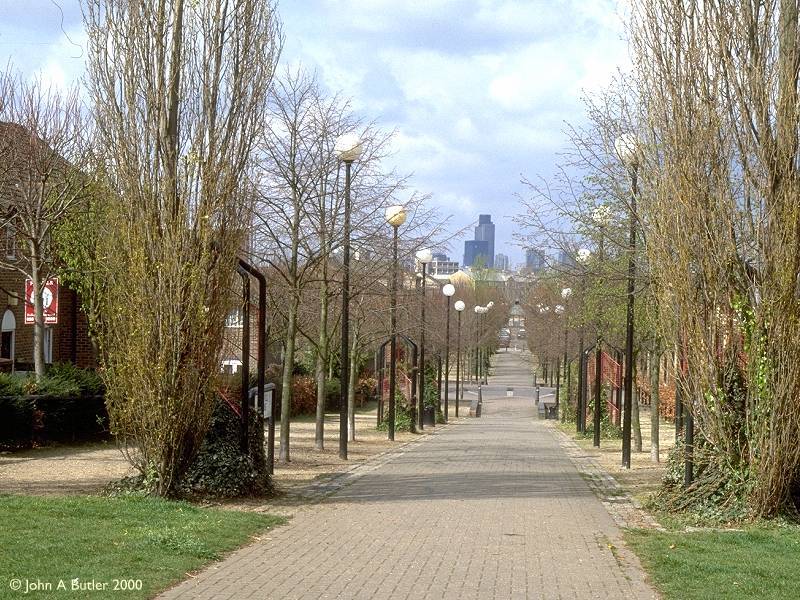
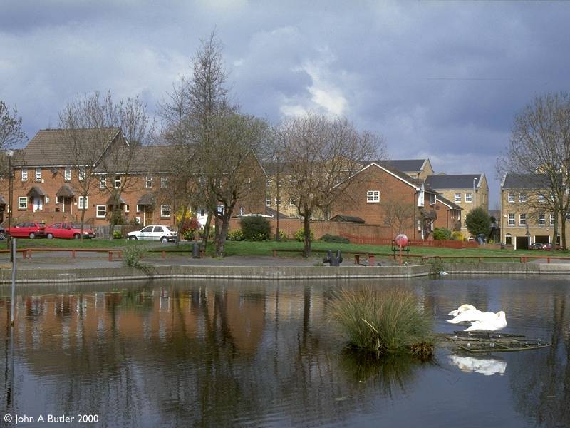
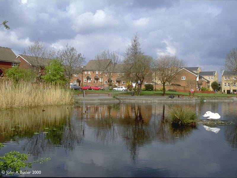
Canada Water, afternoon and evening
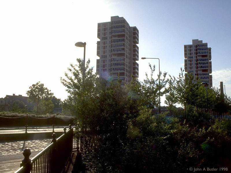
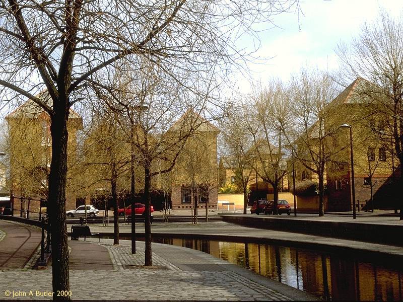
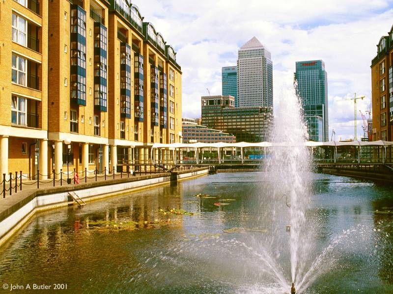
Canada Dock was the basin furthest from the Thames in the Surrey Docks complex, and was linked to Albion Dock and Greenland Dock at its northern and south-eastern extremities. The remodelling of this dock has resulted in the northwest half of the dock being retained as an ornamental lake, now renamed Canada Water. Redevelopment is not yet complete here and some of the surroundings are still bare. The lake features a small wildlife reserve on its south-western side, while to the northwest is the area's main public transport hub - the Canada Water tube and bus station, opened with the Jubilee Line extension in 1999.
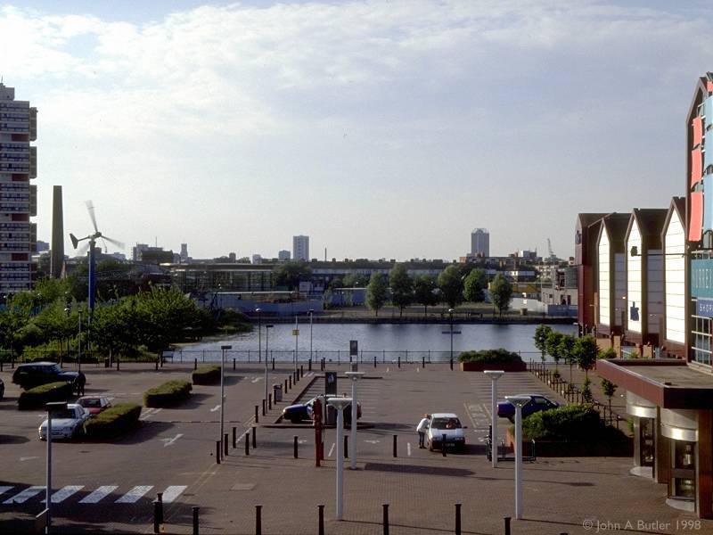
What was the south-eastern half of the former Canada Water has now found new life as the Surrey Quays shopping complex, a smart area centred on an indoor shopping mall and also featuring a handful of warehouse-style retail outlets. It's something of a pity that the Surrey Quays complex was designed with the driver in mind - too much of the space is given over to car parking and this has encouraged increased traffic flows in what is, let's be honest, a crowded inner-city area.
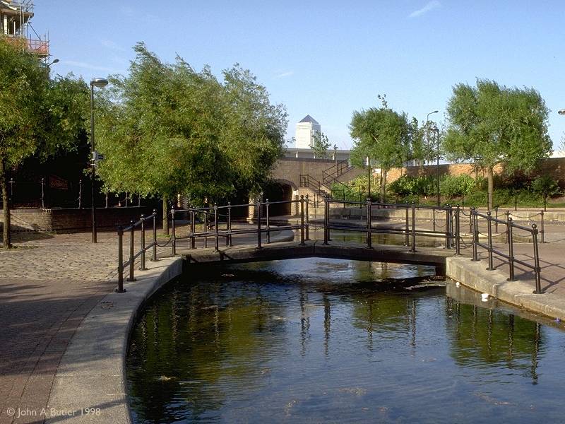
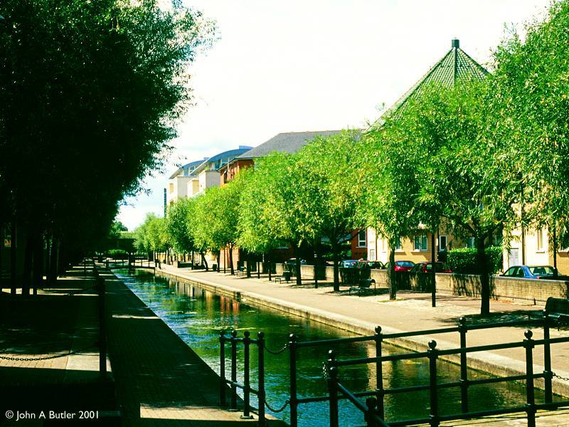
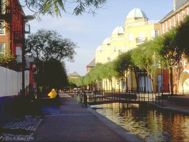
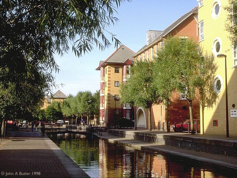
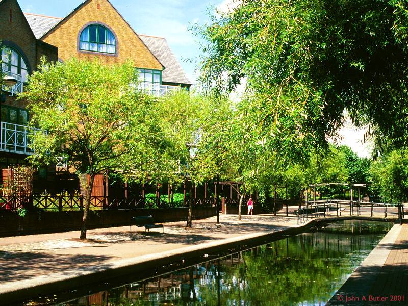
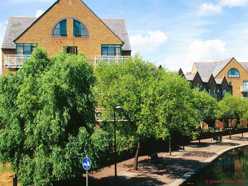
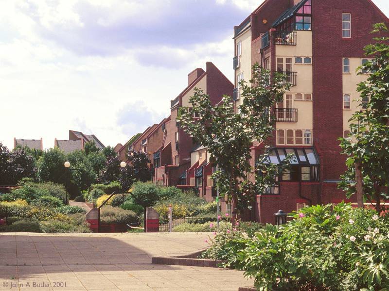
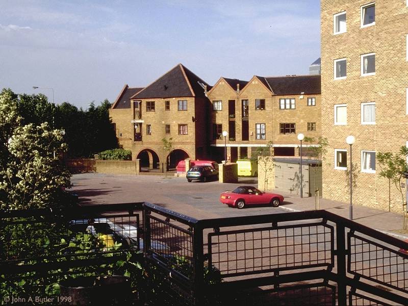
The roads, walkways and apartments surrounding Albion Channel
The former Albion Dock, to the eastern side of the Surrey Docks area, has been transformed into another complex of lanes and courts surrounded by smart and opulent apartments. The most arresting visual feature here is that the eastern edge of the dock has been retained and remodelled into an urban canal, giving the area a distinctly Dutch flavour. Albion Channel runs northward from Canada Water.
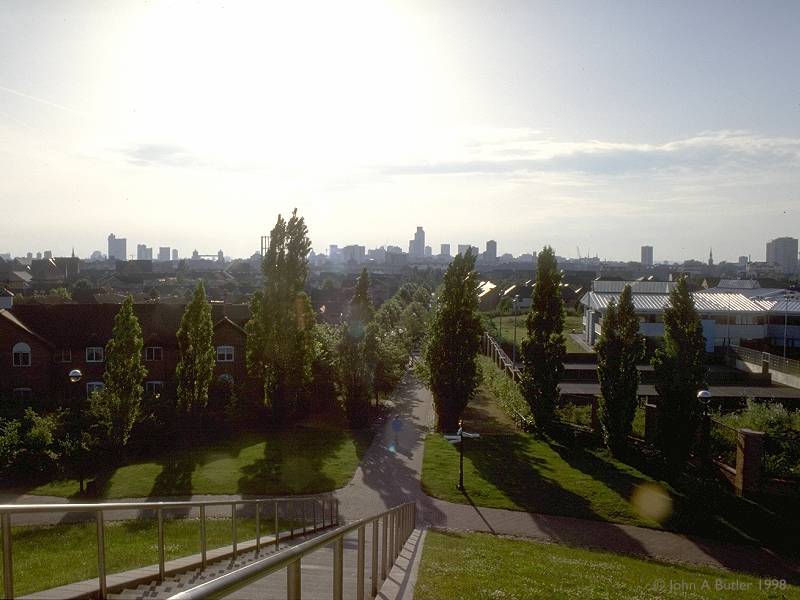
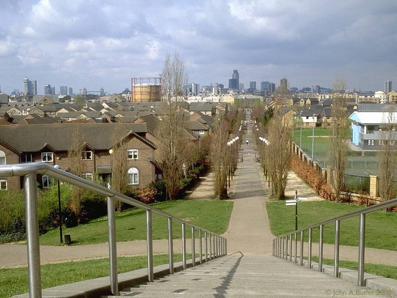
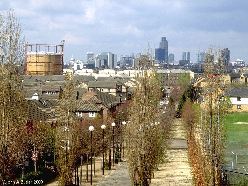
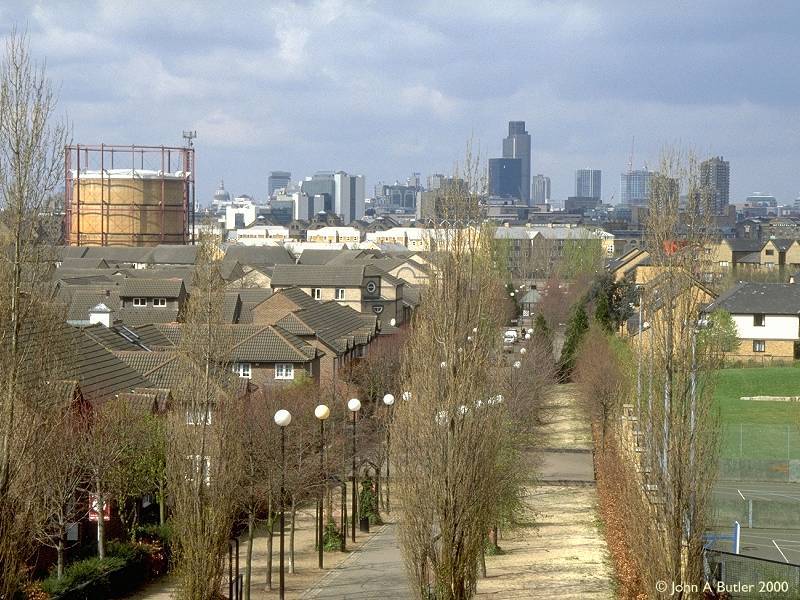
Stave Hill; views of the City along Dock Hill Avenue
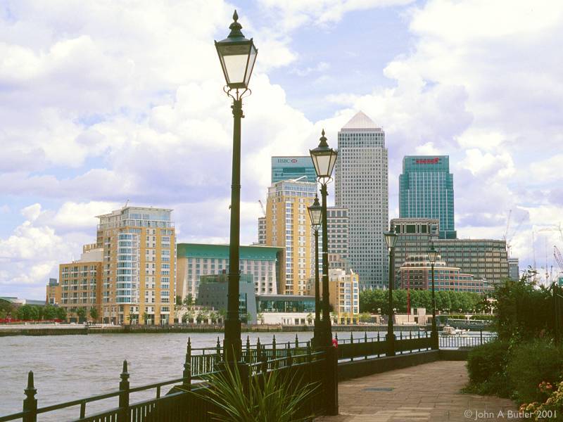
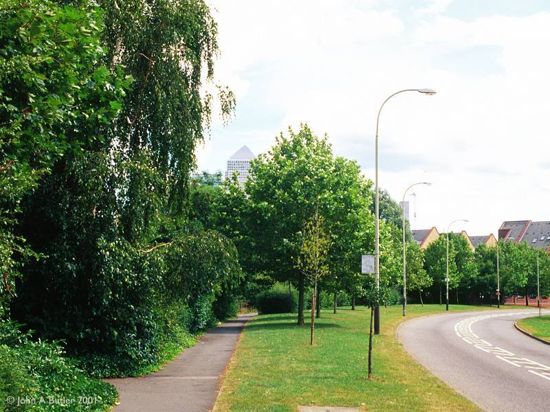
Stave Hill is an artificial mound some 30ft in elevation, laying at almost the exact centre of the Rotherhithe peninsula; it's sandwiched between the Albion Channel housing estate on one side and the Russia Dock woodlands complex on the other. From here one can get some idea of Rotherhithe's extent and its intimacy, as well as pleasing views of both the City and the Canary Wharf development. A new feature on the skyline to the west is the London Eye ferris wheel; it's to the far left of the second picture above. Dock Hill Avenue leads the eye direct to Tower 42 (formerly the Nat West Tower), the second tallest building in London. St Paul's Cathedral and Tower Bridge are also prominent.
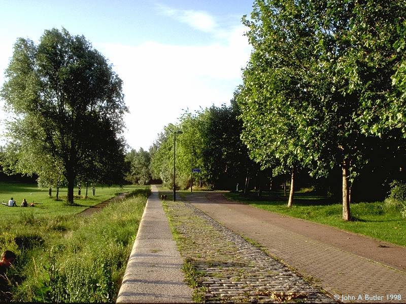
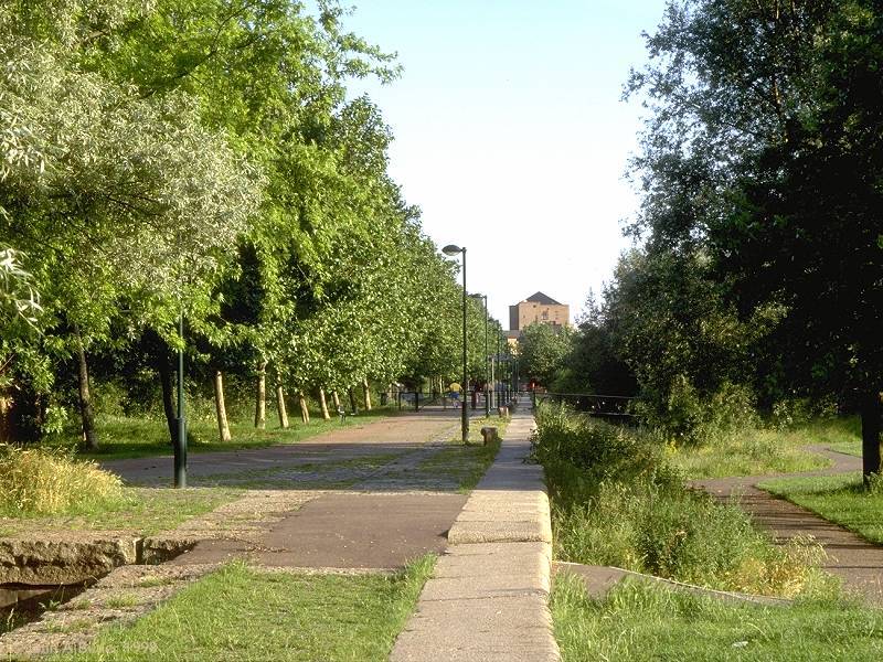
Russia Dock woodlands
Russia Dock was pretty much the central basin of the Surrey Docks complex, running due north from Greenland Dock and then swinging northwest to become Stave Dock. The latter basin has been completely filled in and is now a sports ground. Russia Dock has been similarly filled but has been given over to semi-wild parkland, an environment currently unique in London. Thousands of trees now occupy the area. The infilling of Russia Dock was deliberately incomplete, and the line of the dockside itself has been retained as a feature (seen in the first two photos, above).
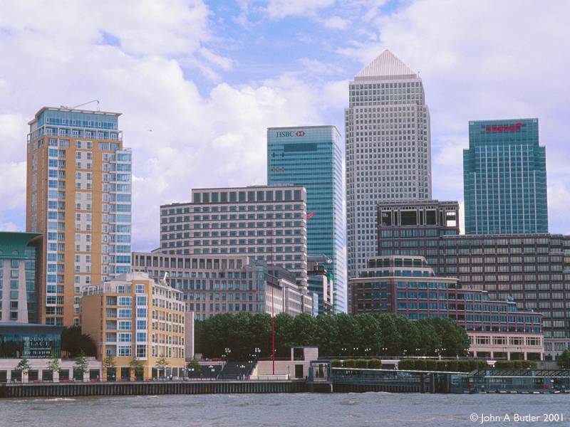
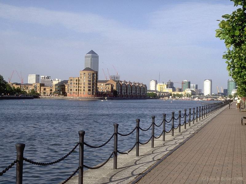
A view of Canary Wharf
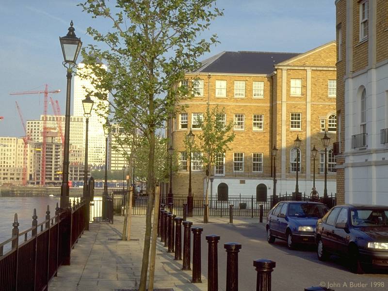
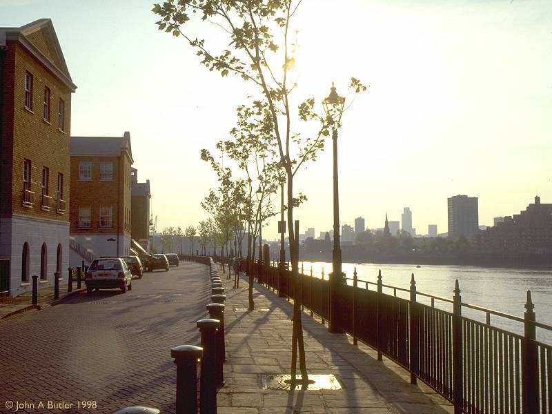
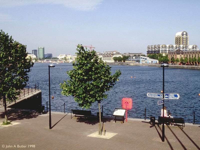
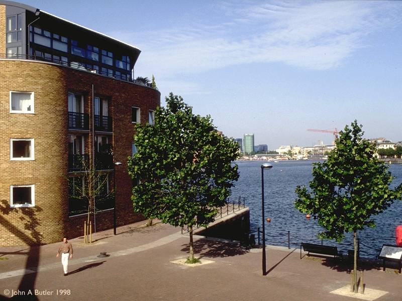
Riverbank apartments and the Thames Path
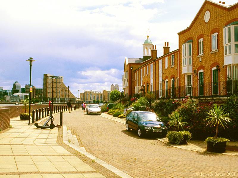
Thames-side apartments, and Canary Wharf across the river
On the northern edge of the peninsula, between Rotherhithe Road and the riverbank, are the swankiest prestige housing developments in the area. If you want to live here you'd better have a few hundred thousand to spare. On the other side of the river is Limehouse, which is beginning to sprout similar developments.
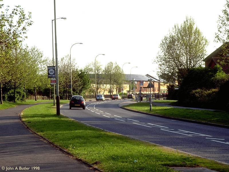
Salter Road
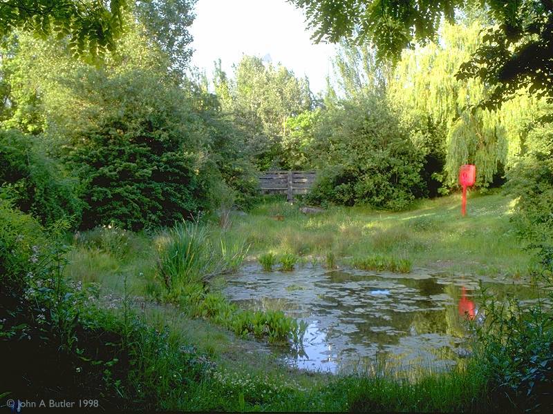
Lavender Pond
Sandwiched between Rotherhithe Road and Salter Road on the northern tip of the peninsula, Lavender Pond is surrounded by quiet closes of private houses and also features a nature reserve. It's the only remnant of what was once Lavender Dock, the largest of the Surrey Docks. Perhaps more than any other part of Rotherhithe, this location has much more of the air of a country village than a capital city. It's almost impossible to believe that this scene lies just three miles from the centre of London.
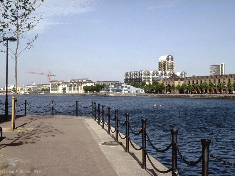
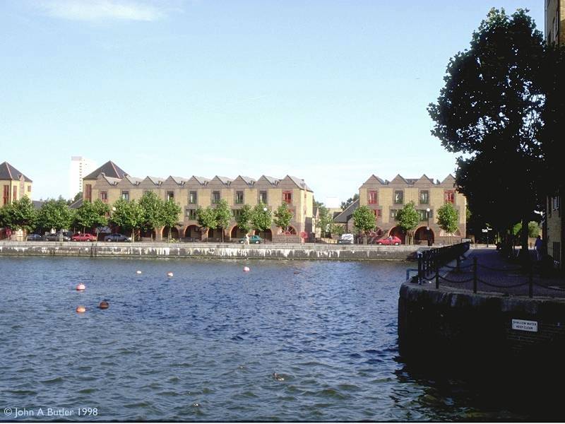
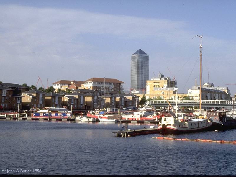
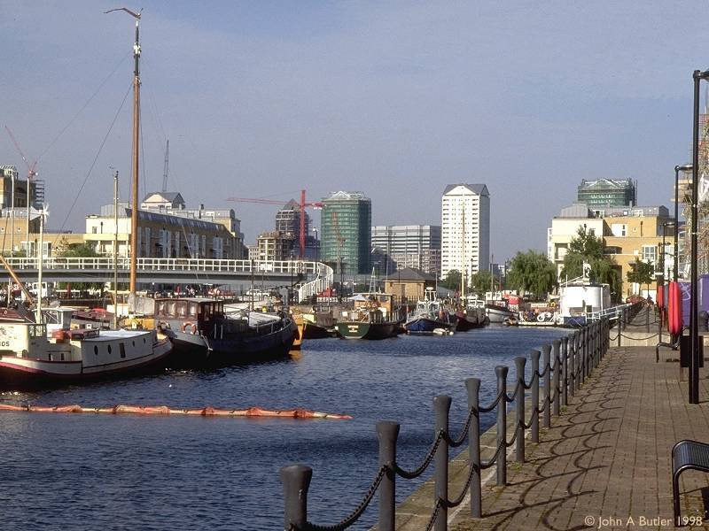
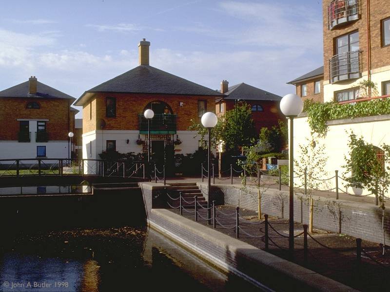
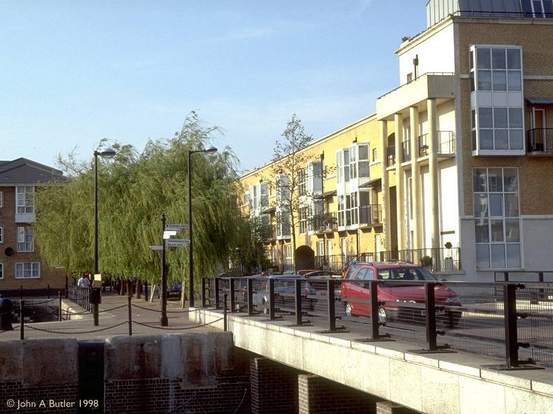
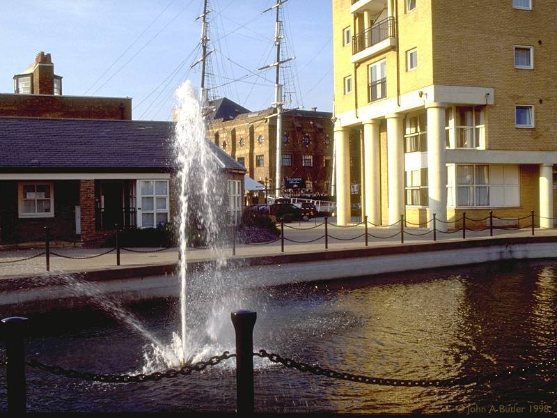
A Greenland Dock portfolio
Greenland Dock dates from 1697, the oldest part of the Surrey Docks complex. It is by far the largest body of water left in Rotherhithe, at more than 150,000 square meters. Once it was surrounded by wharves unloading timber, wool and foodstuffs; now it's overlooked by ranks of smart and expensive waterside apartments, and pleasure boats bob up and down on its waters.
For those following the Thames Path westwards from Greenwich, South Dock is encountered soon after crossing the borough boundary from Deptford in Lewisham, and is a stark contrast to the utilitarian ugliness of the Pepys estate just a few hundred yards to the southeast. Here, suddenly, everything is new, clean, smart and opulent. The environment is invigorating rather than depressing. South Dock, like its much bigger neighbour Greenland Dock, was once a wharf but is now surrounded by private housing. The riverbank path is carried across the lock gates that link South Dock to the Thames.
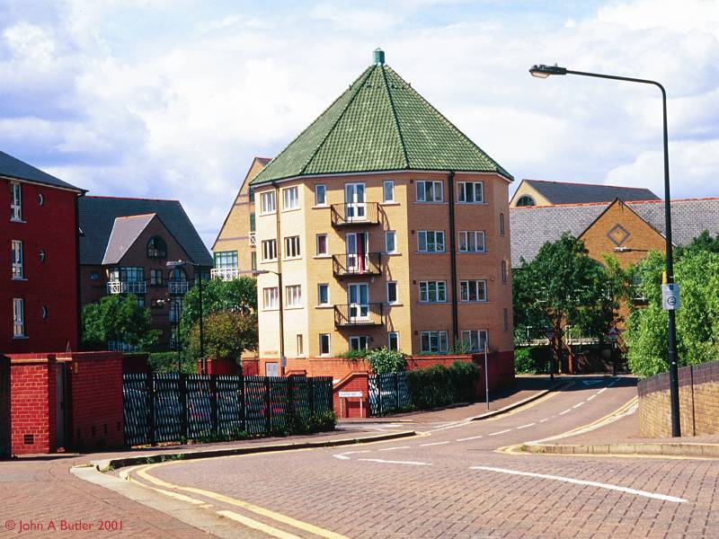
Salter Road; Rotherhithe Street
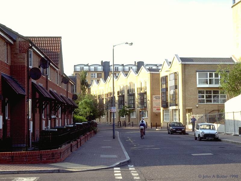
Lawrence Wharf
Beyond Greenland Dock the Thames Path winds among and between a series of old wharves now redeveloped or refurbished as apartments. In this area were Norway Dock and Lady Dock, both now filled in and replaced by a complex of quiet, suburban roads.
Back to Borough of Southwark index page
This page last updated 11th January 2003
![]()