Click on any thumbnail image in this gallery to display the corresponding full size image. The images are access protected through a cgi script to prevent hotlinking. If you encounter problems while trying to view the full size images, please read the access advice page.
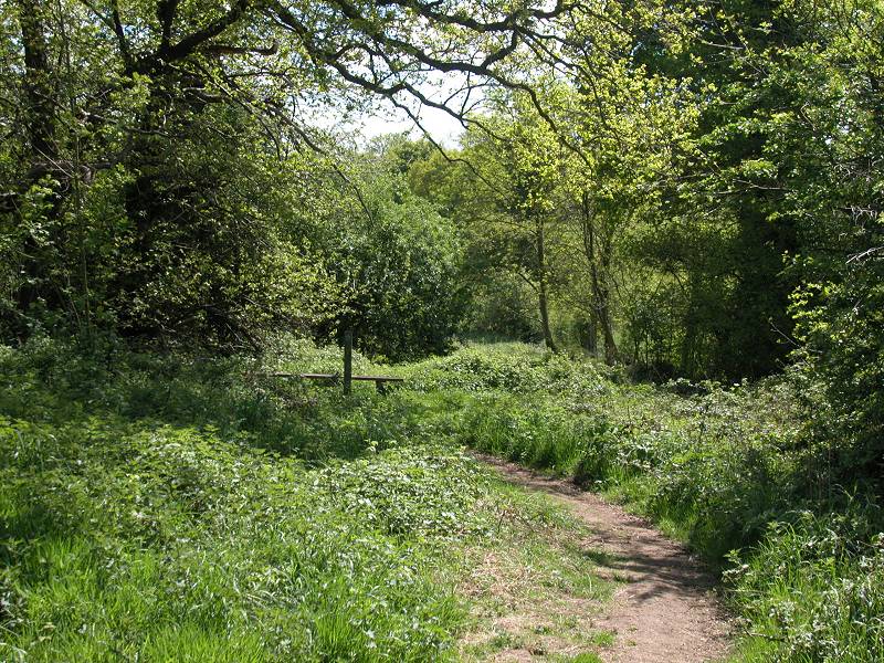
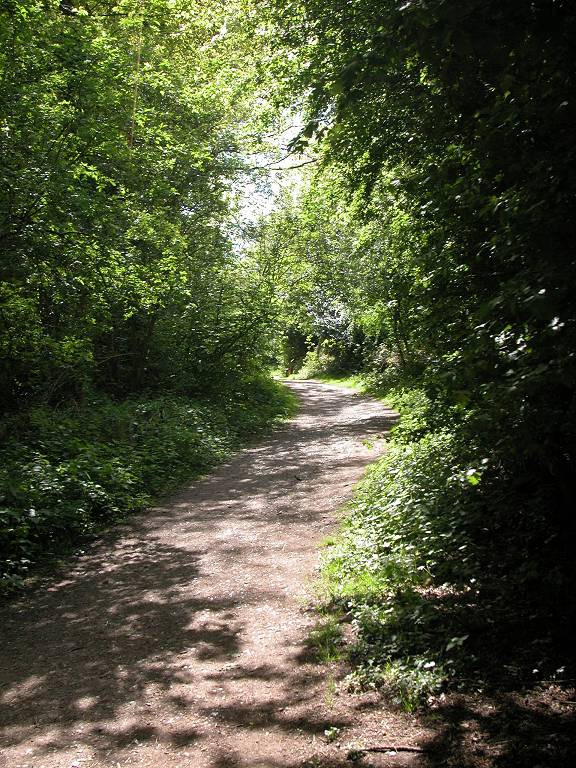
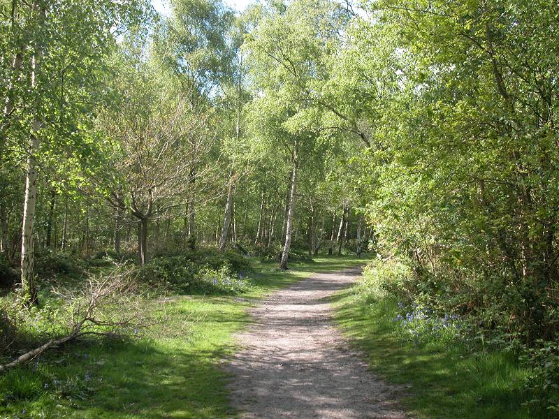
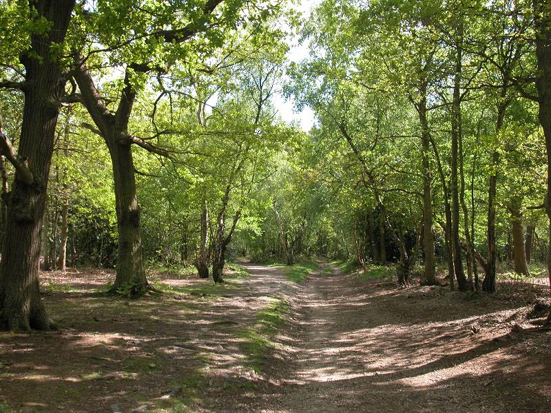
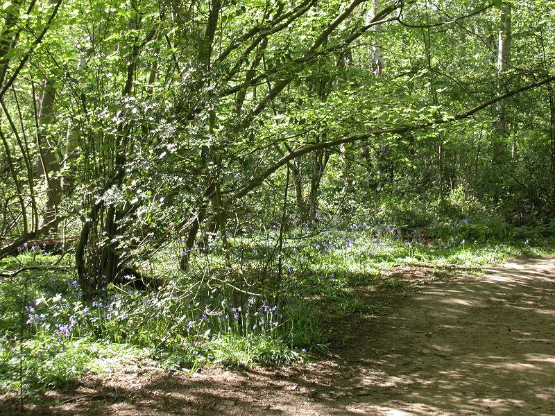
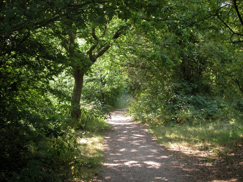
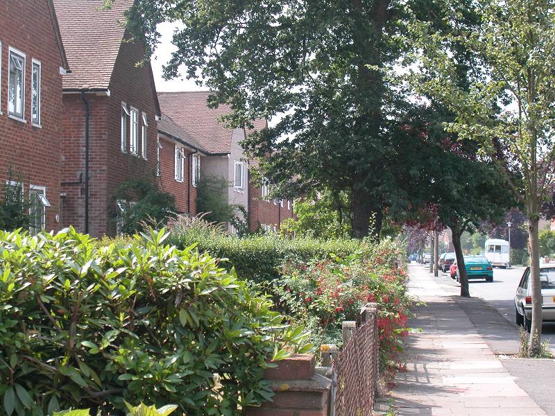
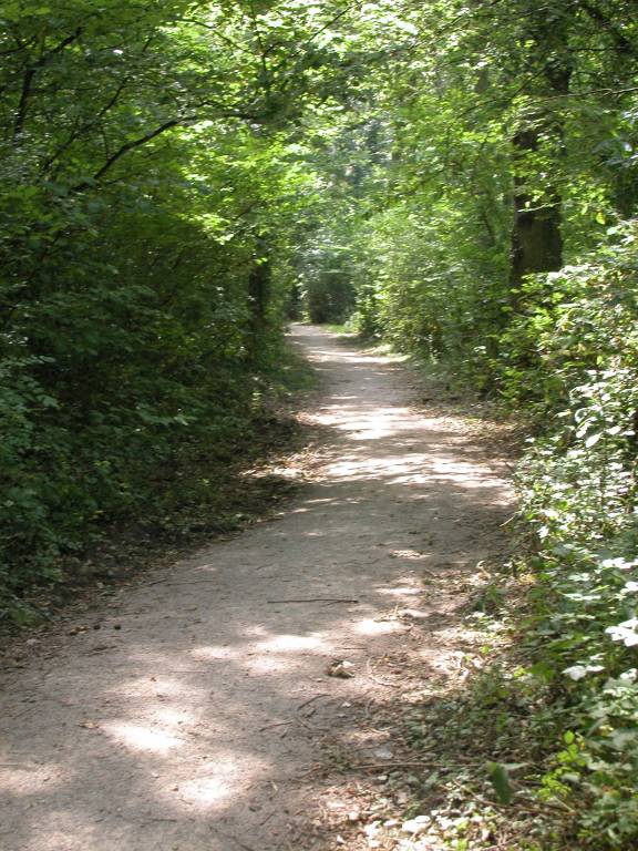
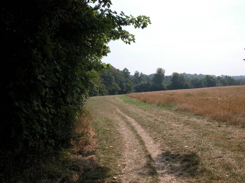
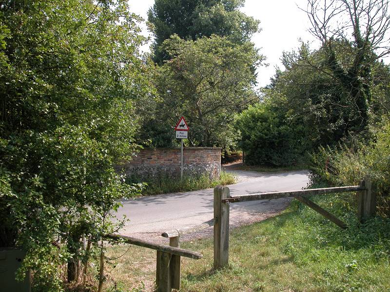
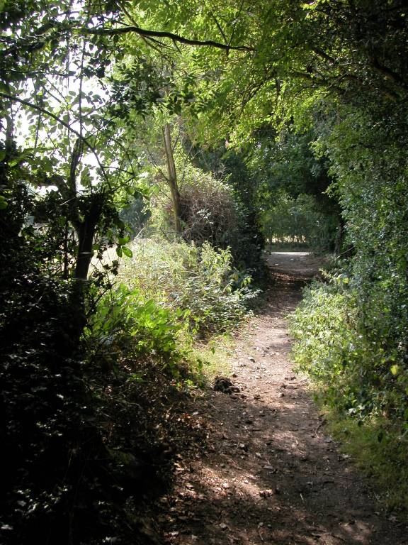
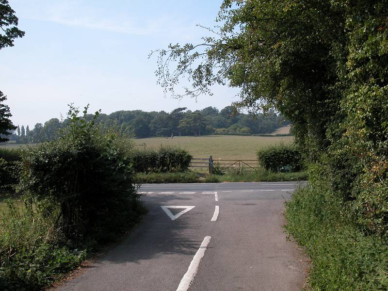
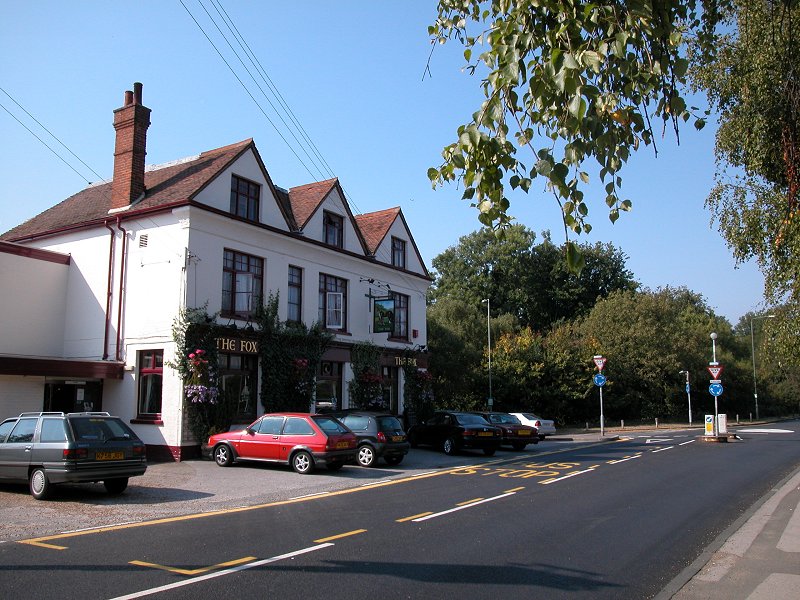
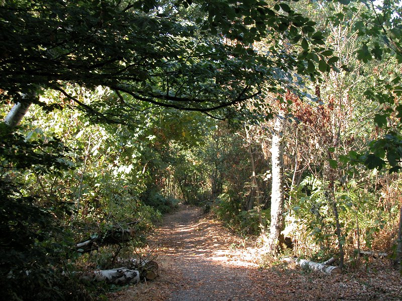
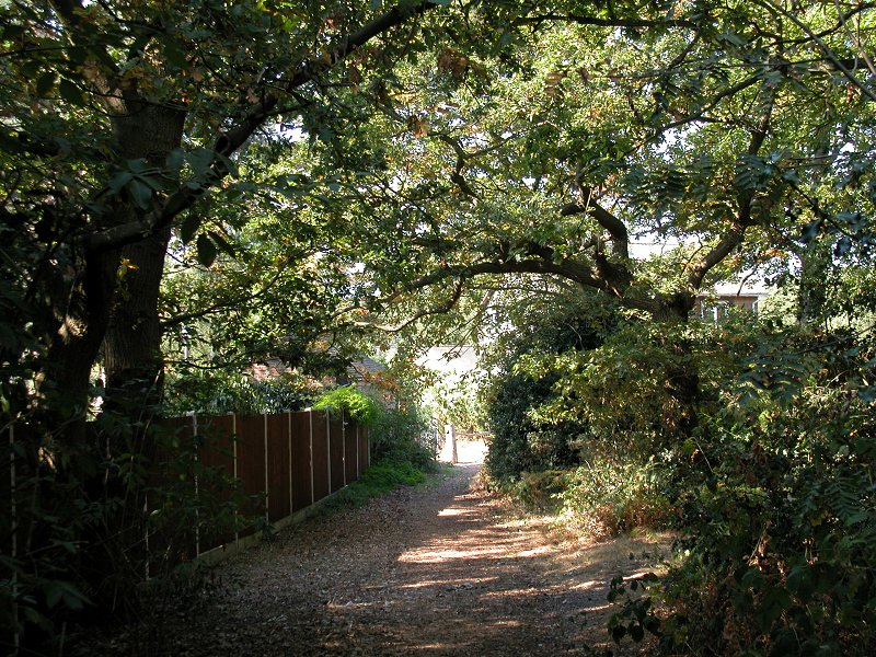
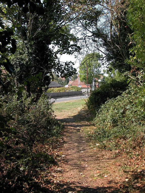
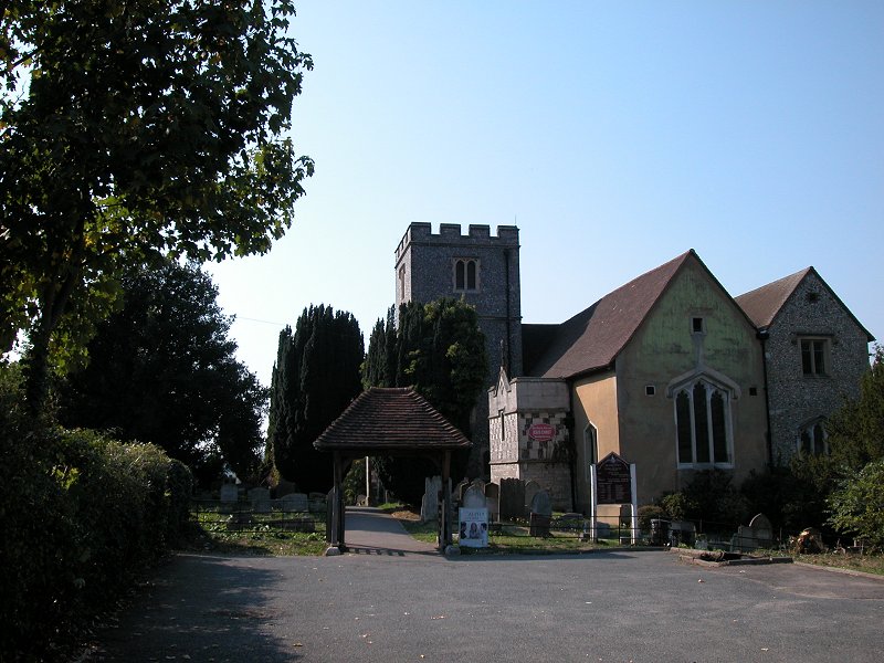
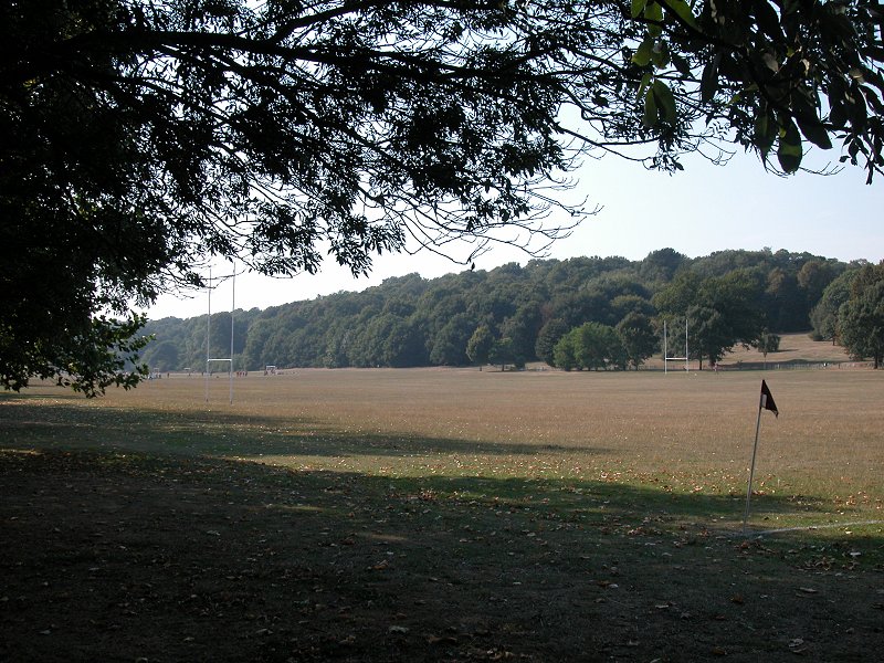
The London LOOP enters Bromley across the A20, just opposite St Mary's Hospital on the outskirts of Sidcup. Assuming that you've managed to negotiate the bewildering complex of pedestrian and cycleway underpasses, your route goes along the south side of the A20 in the Kent direction for a few paces before turning right into the woodland fringe of Scadbury Park.
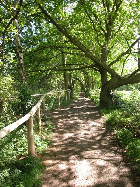
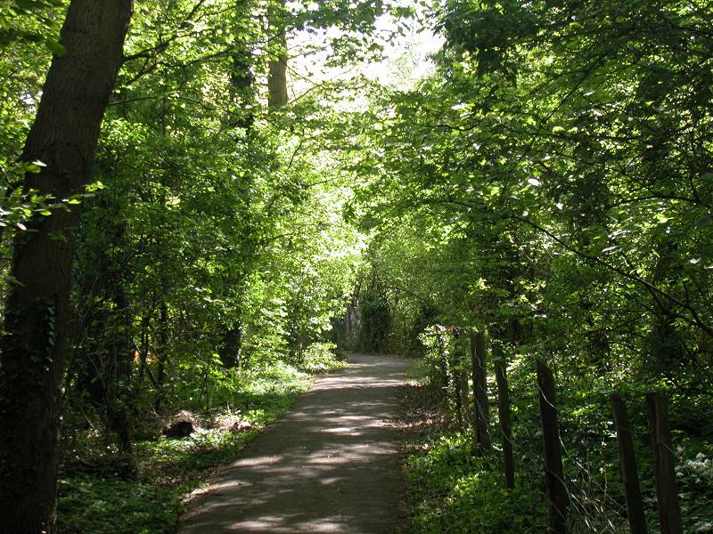
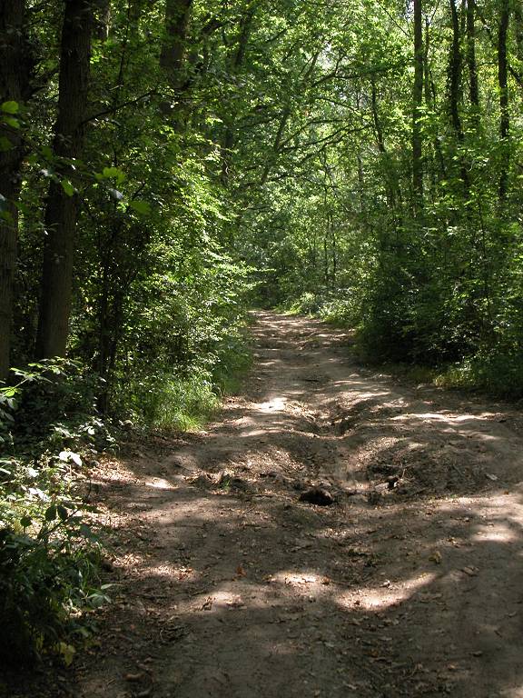
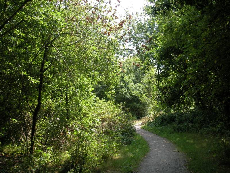
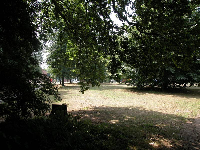
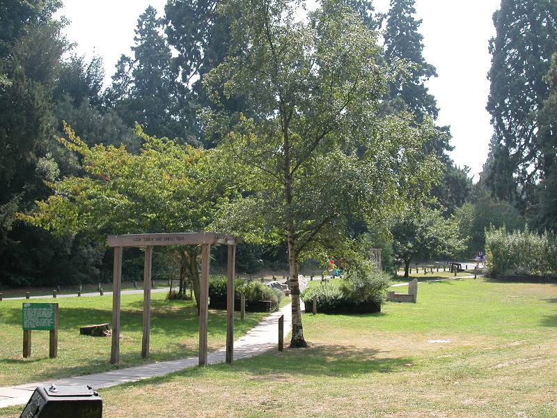
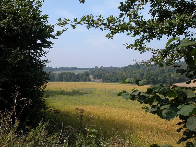
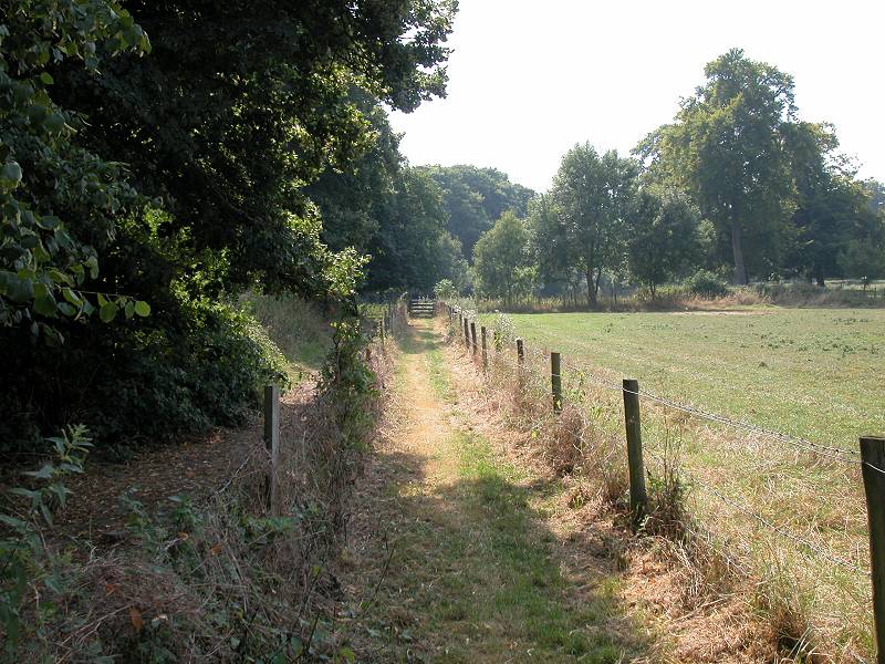
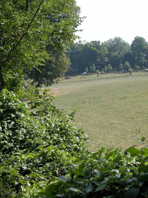
The park is a remnant of a thirteenth century manor house and its grounds, which was the home of the De Scatheburys and then the Walsinghams. The park is mainly open pastureland, of which the LOOP runs around three sides (mostly within its woodland fringes). After entering the park from the A20 the path leads initially downhill and bears left, eventually merging with the main track around the park.
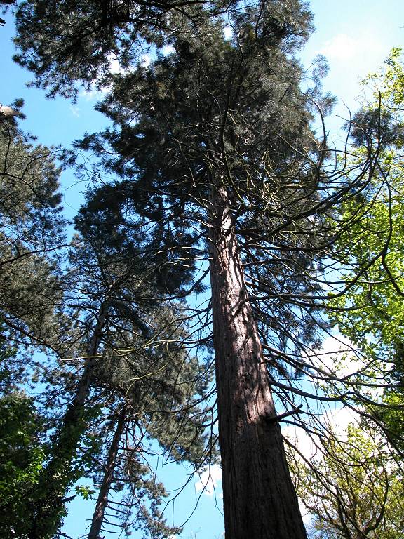
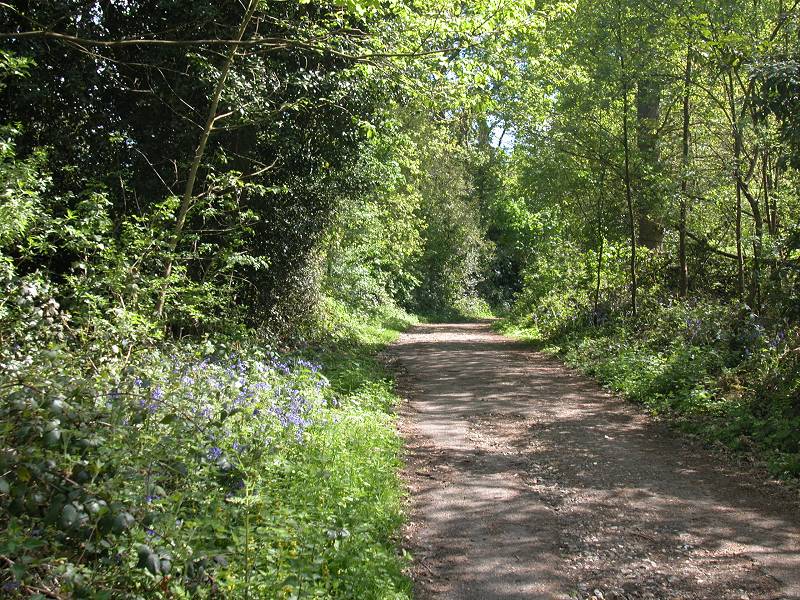
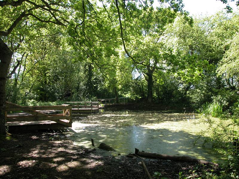
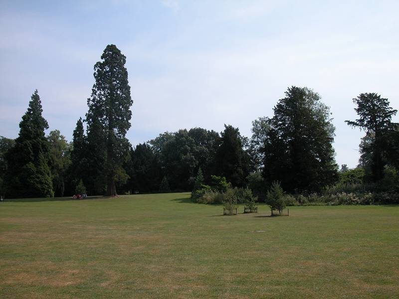
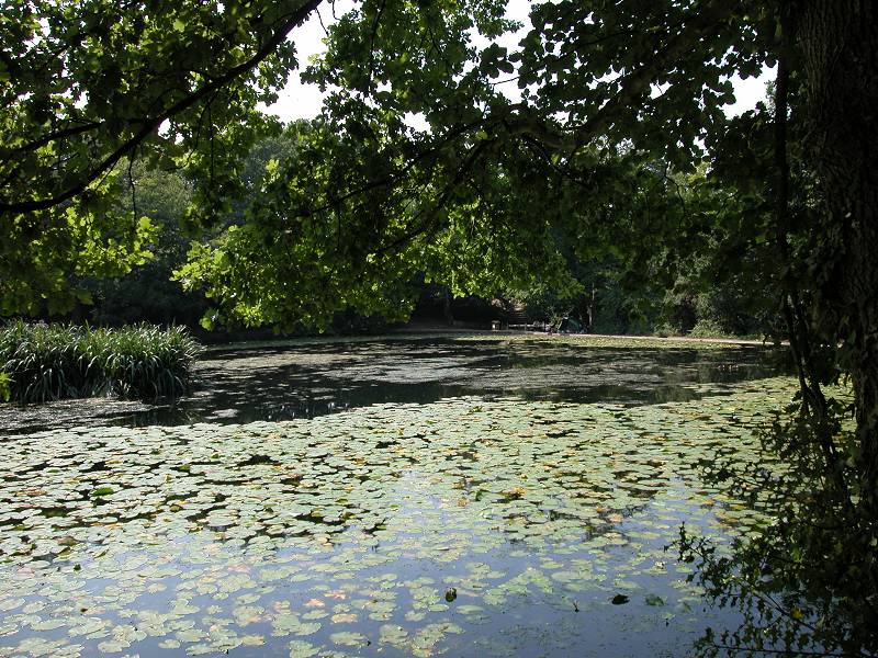
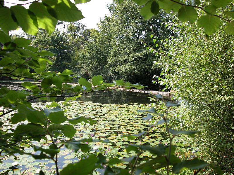
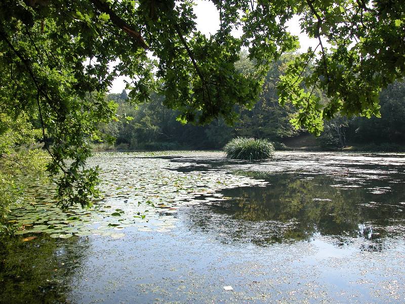
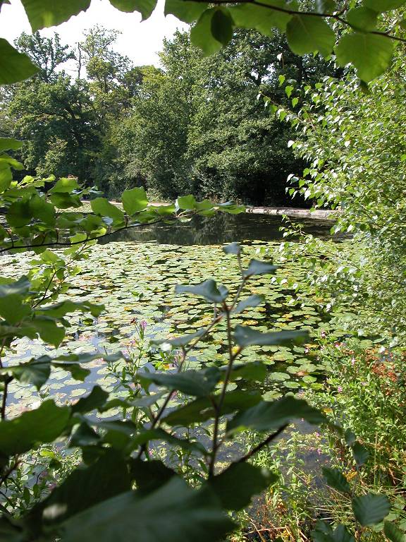
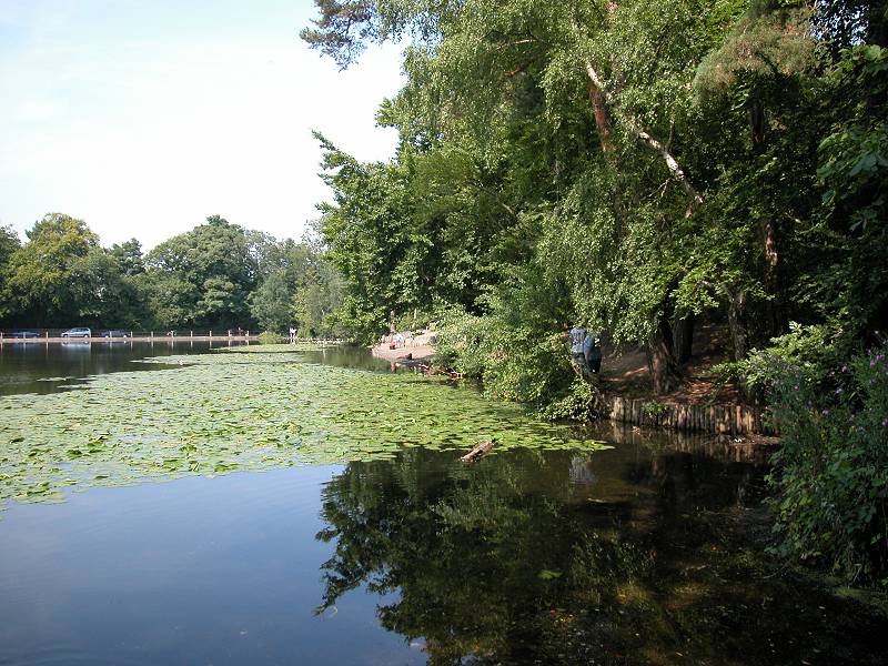
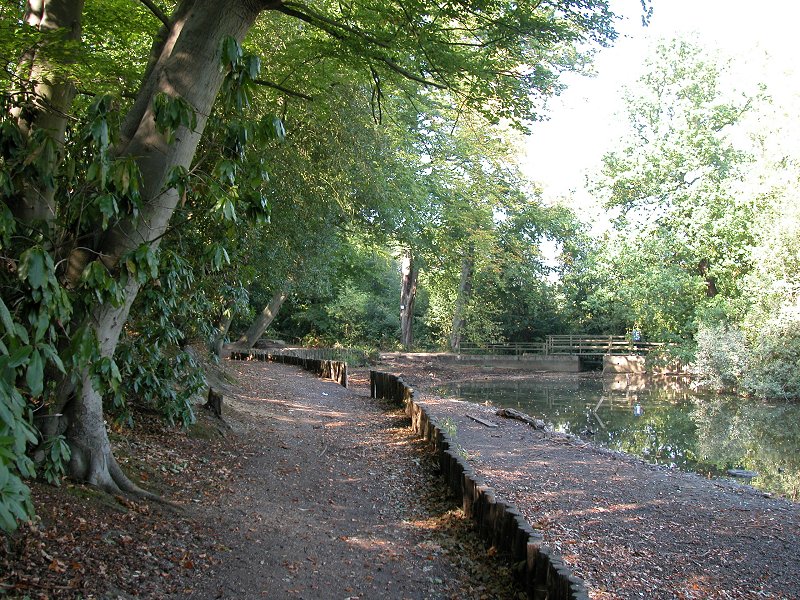
The park has a few exotic tree species, notably a handful of Sequoia (Californian redwoods), which also featured in the upper reaches of Sidcup Place park back across the A20. Two thirds of the way around the park you come to a substantial pond, secluded within a copse of trees.
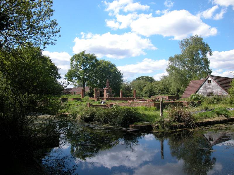
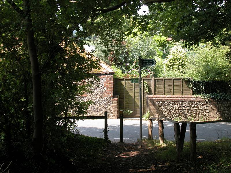
Further round the trail, a side path gives access to the environs of the moated manor house. The LOOP guidebook tells us that the ruined manor house we see here is actually a stab at a partial reconstruction, dating from the 1930s. There are complete buildings standing within the moat but whether these are barns or outhouses, or actually inhabited, is not known. The site is not publicly accessible.
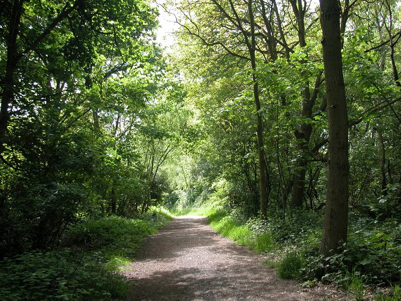
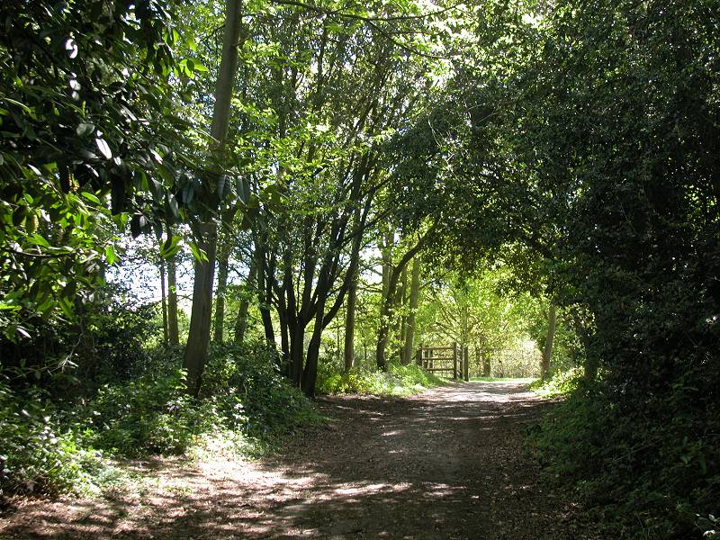
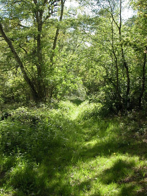
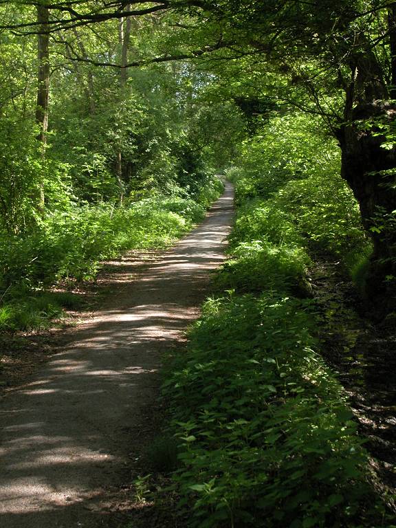
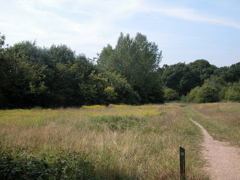
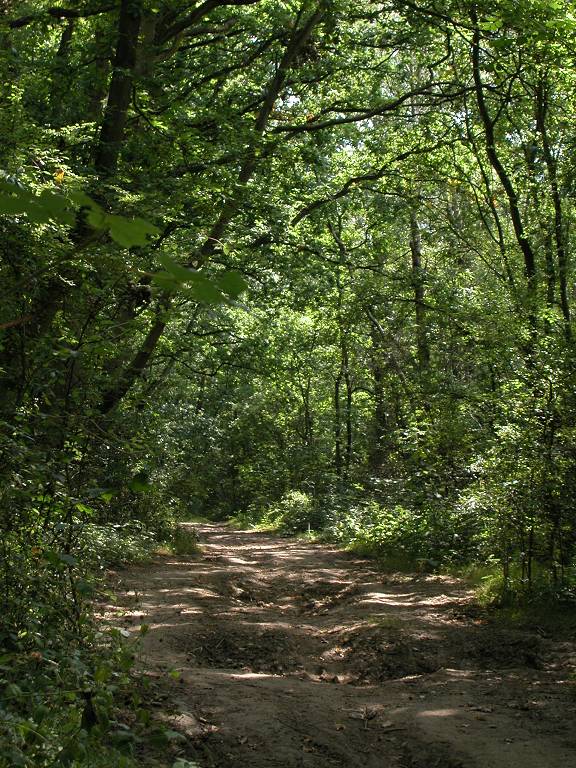
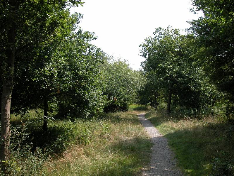
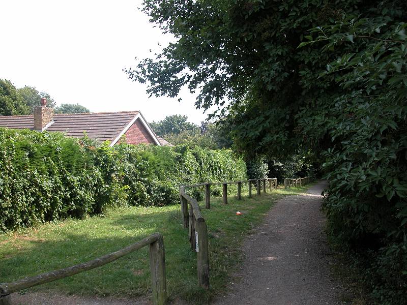
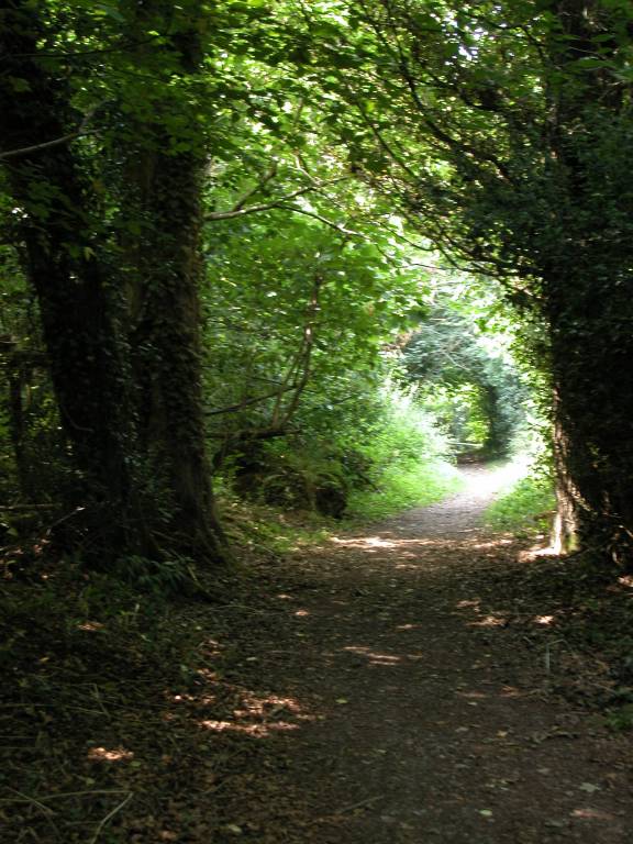
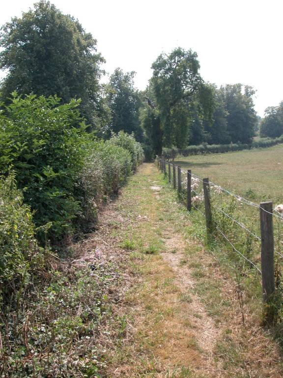
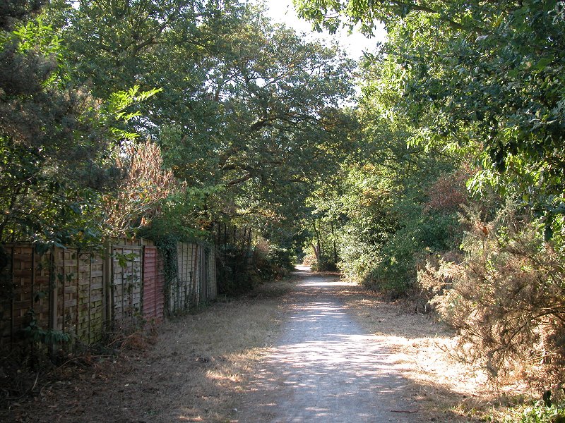
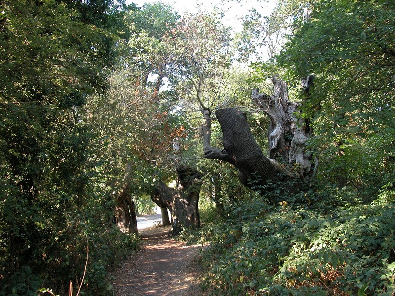
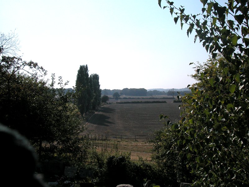
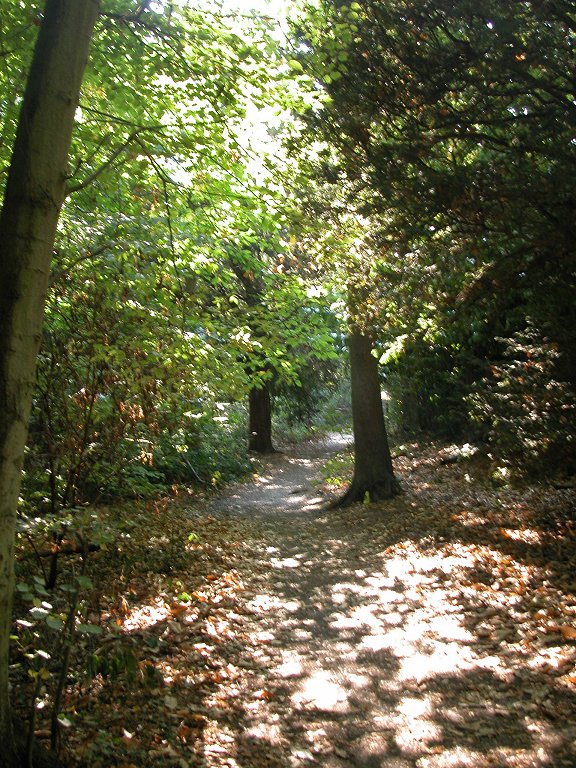
Beyond the moated house the LOOP continues through Park Wood, a substantial plantation between Chislehurst and Orpington. The path runs slightly south of west, meandering slightly, for roughly a kilometre.
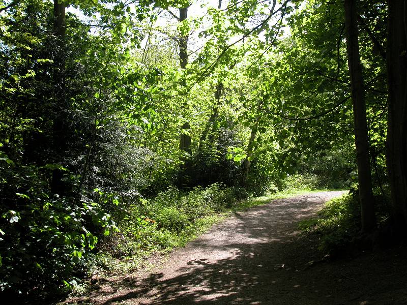
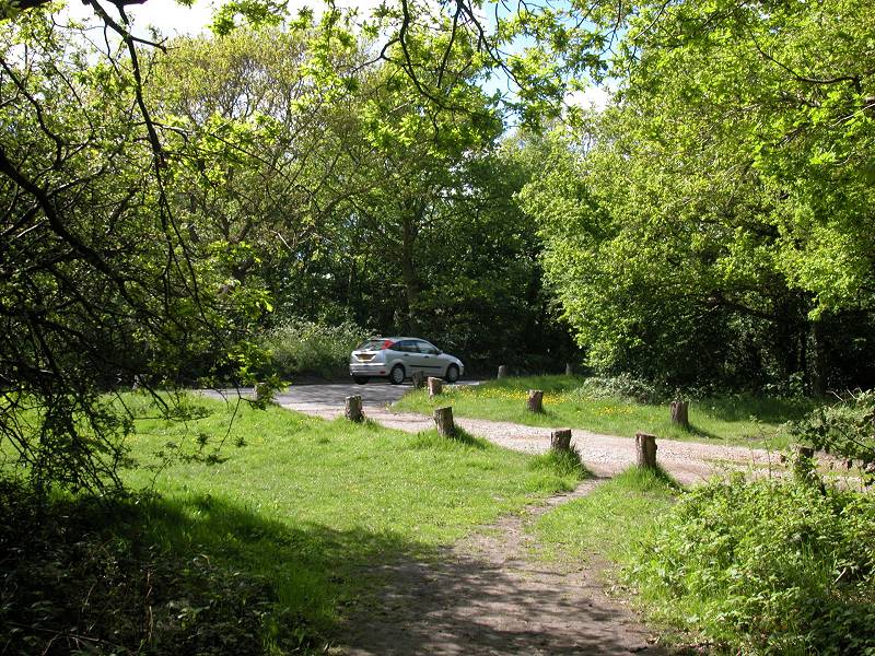
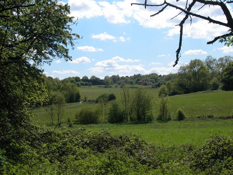
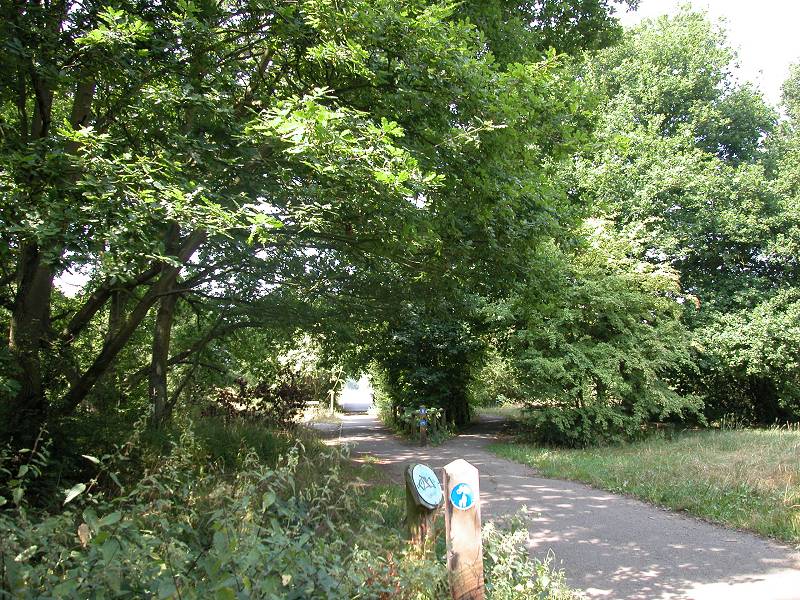
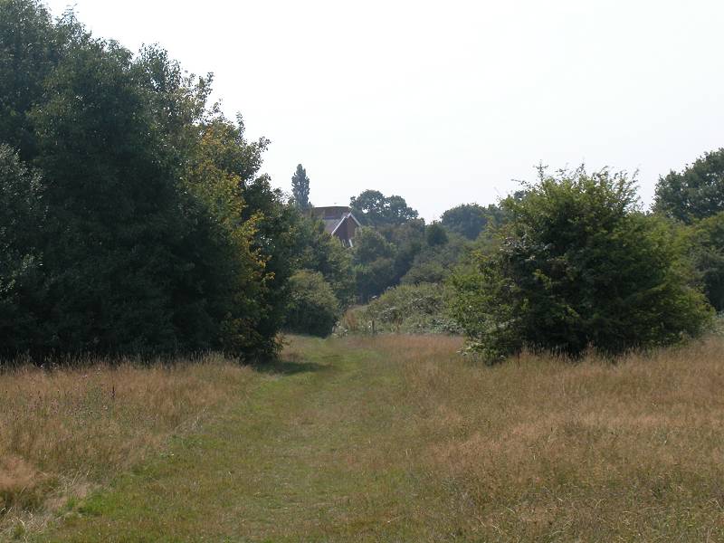
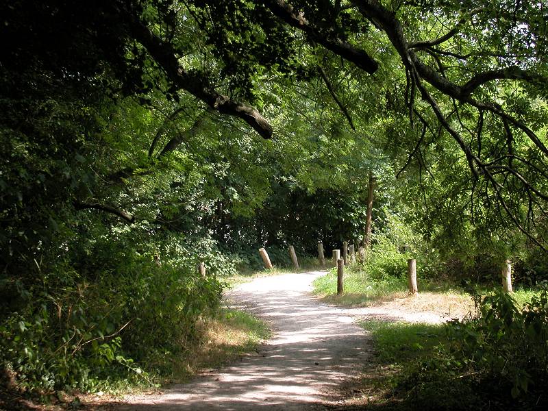
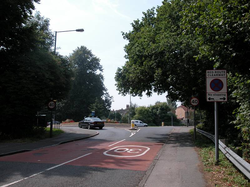
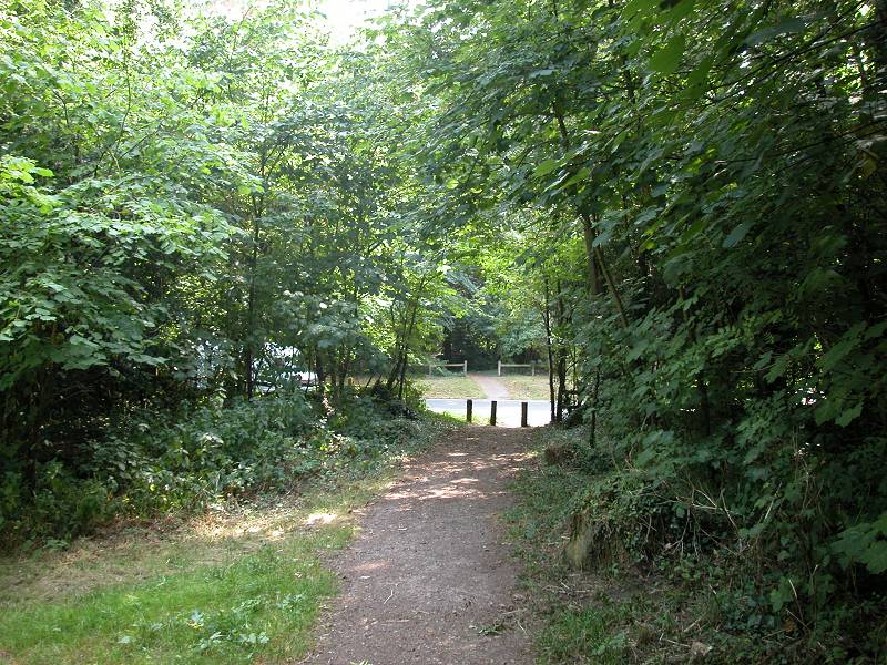
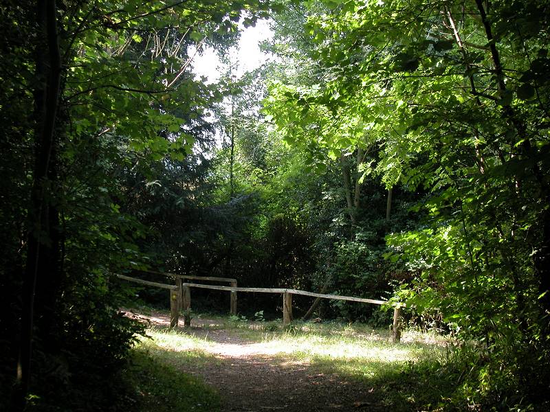
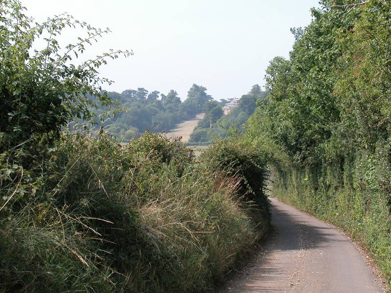
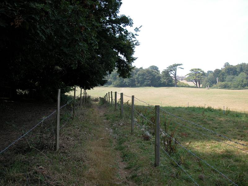
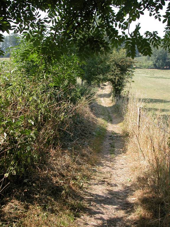
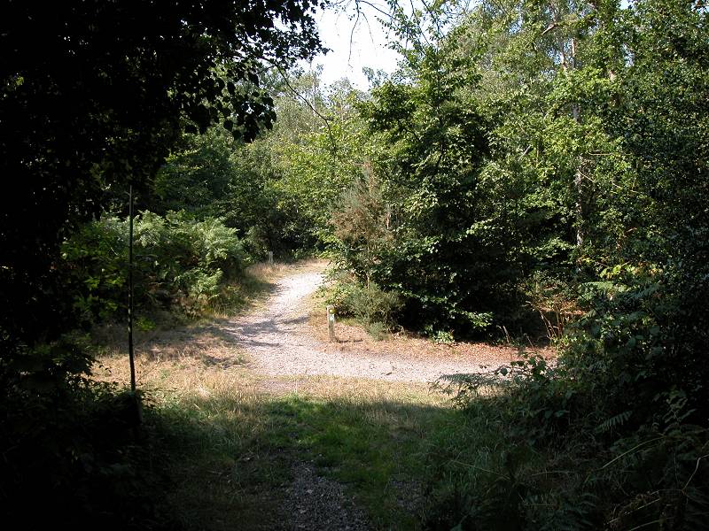
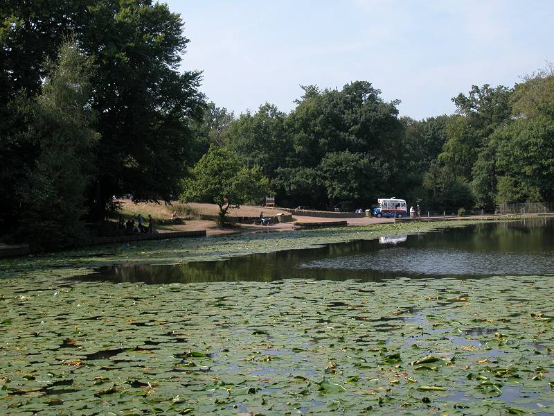
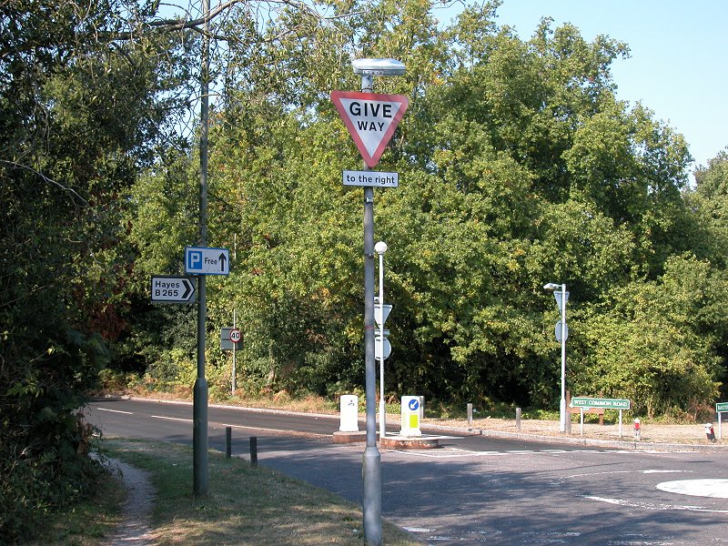
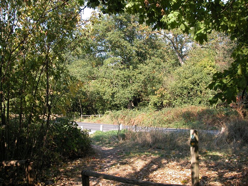
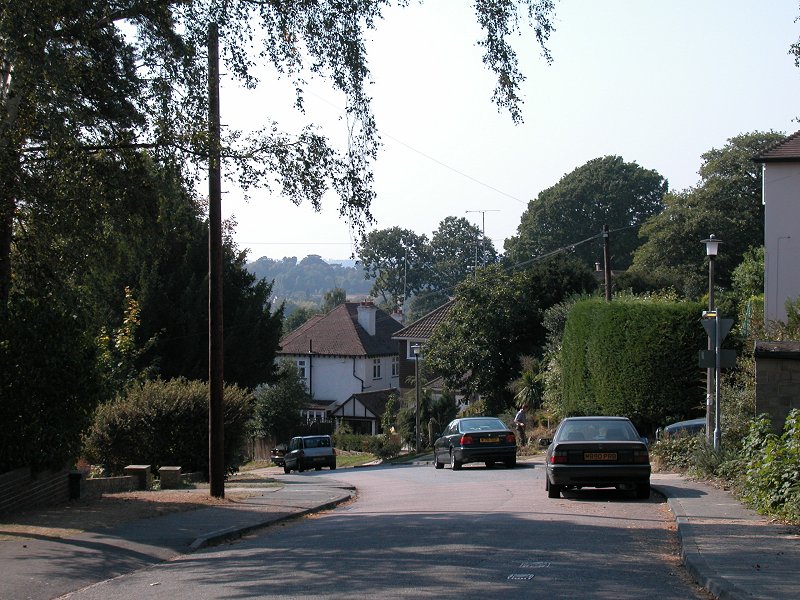
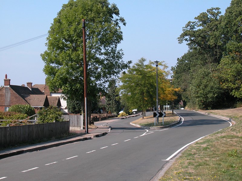
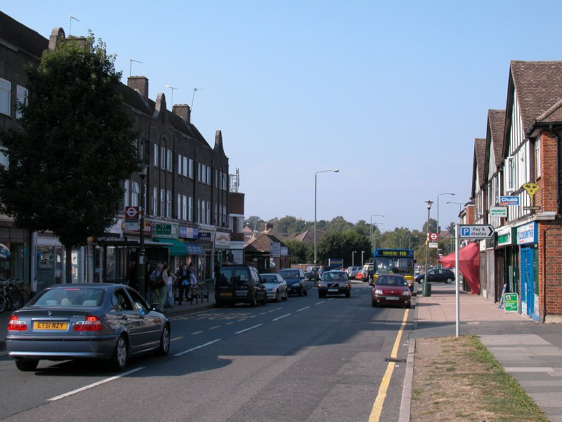
The map tells you that you must turn right at a junction of paths and go northwest for some 250 metres before turning left again onto a substantial driveway. In practice the paths on the ground are rather more numerous and complex than the paths on the map, and it would be surprising if you don't go astray here. If you take a track to your right once you feel you've covered the right distance, you're pretty certain to come out onto the drive anyway. Follow this to the left (west). Eventually it comes out onto the impossibly busy A208 (second image in the row above).
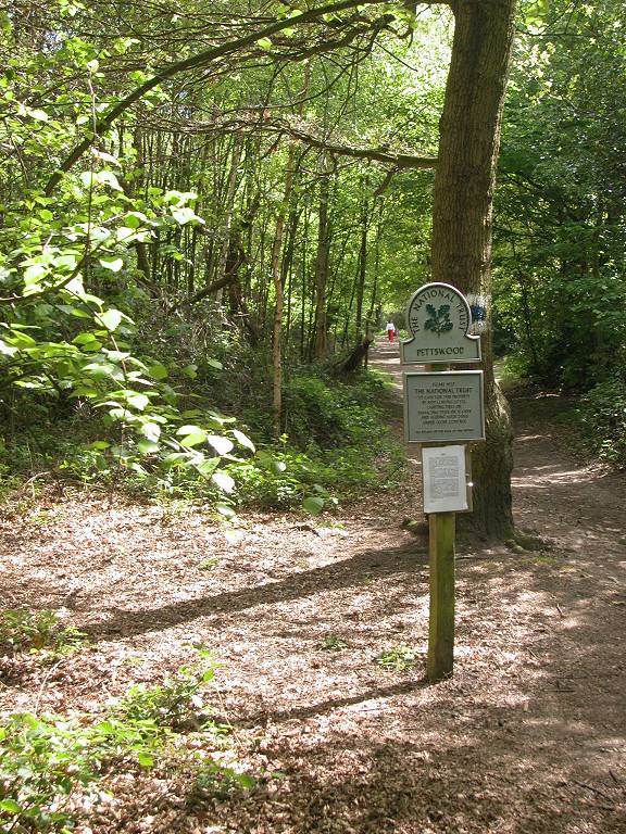
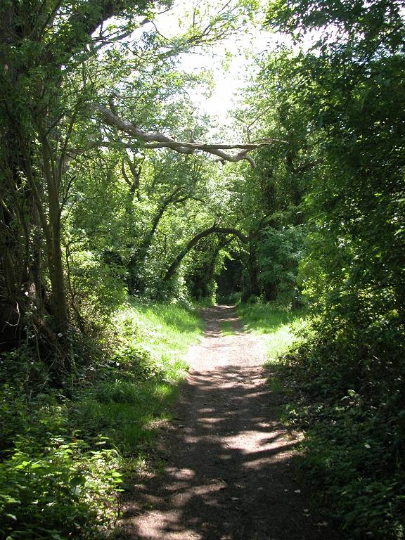
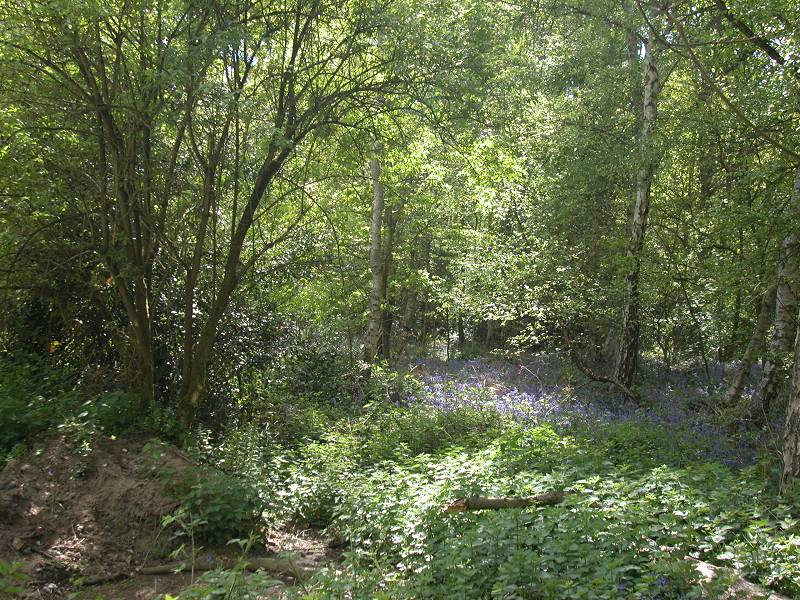
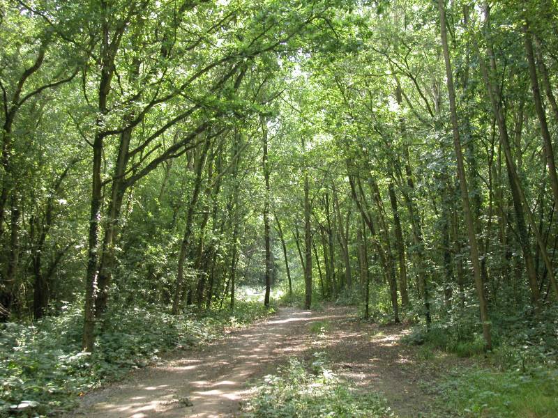
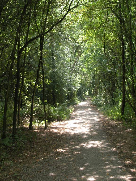
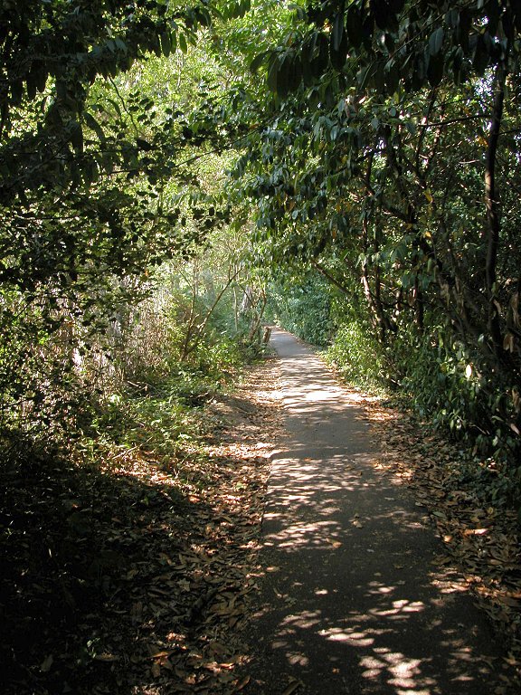
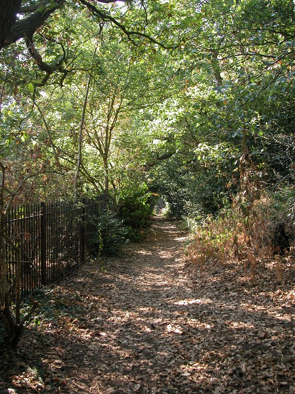
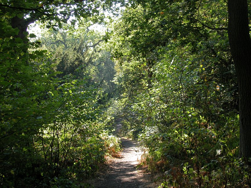
Petts Wood is even bigger, and even quieter, than Park Wood. You have to keep telling yourself that you're within the boundaries of Britain's capital city and that the busy towns of Chislehurst and Orpington are but a mile to either side. After walking for some ten minutes you pass a National Trust sign. A good part of the wood, plus the Hawkwood estate to the west, are in the ownership of the Trust.
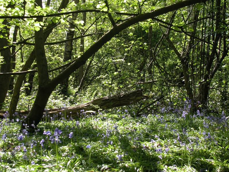
Pett's Wood is said to cover some 88 acres, and it was bought for the nation in the 1920s to save it from development. Within the wood are monuments to William Willett, the originator of daylight savings time, and to F J Edlmann, who bought and donated this part of the wood. The LOOP proceeds downhill, passing an open area on the right, before approaching the Swanley railway line and turning right to run alongside it.
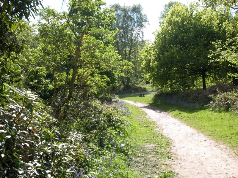
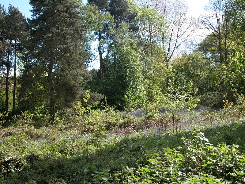
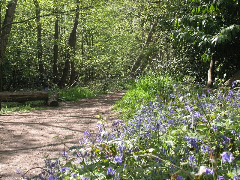
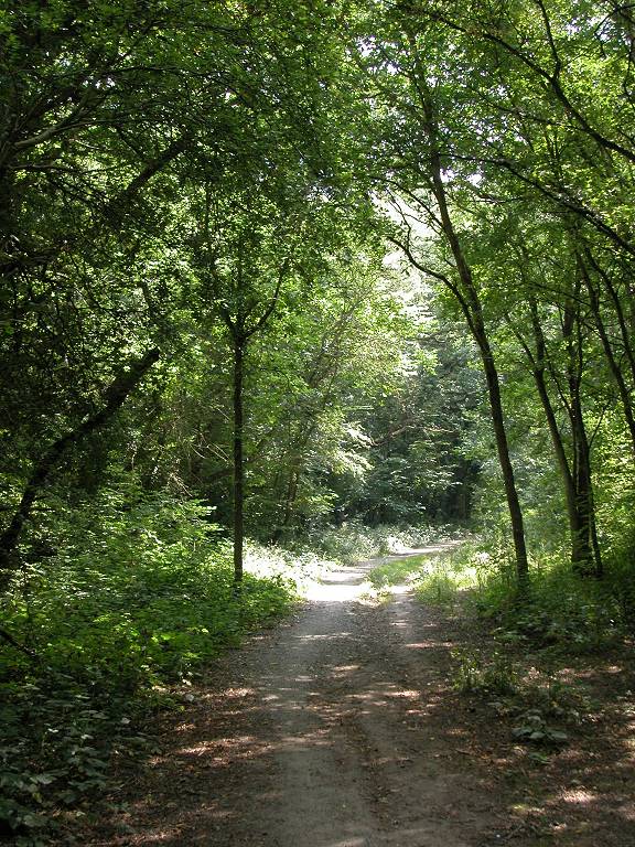
Petts Wood is relatively dense, but not so dense that it doesn't allow undergrowth to flourish. The carpet of bluebells that appears each May is particularly fine.
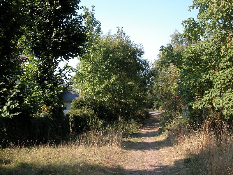
You leave Petts Wood, still alongside the railway and the stream of Kyd Brook, to find the open and very rural expanse of the Hawkwood estate to your right. The guidebook says nothing about this area, though the map indicates that it contains a farm and several patches of woodland, and is crossed by several footpaths. It certainly tempts you to explore, but that's for another day. The path now turns left to cross the railway track by a long footbridge. There's a complex junction just up to you right, where the Victoria - North Kent line crosses the Charing Cross - Tonbridge line, and a series of slips, chords and crossovers allows any combination of interchange. The path runs by the back of some rather opulent housing on the edge of Petts Wood town to cross the main Charing Cross track, where it turns right into the Jubilee Country Park. A side track leads into the residential roads close to Petts Wood high street and station, for those who wish to break the journey here.

Jubilee Country Park is a relatively small area of pasture and woodland, and the Loop really only skirts the edge of it. An obvious driveway runs across the middle of the park, slightly north of west, but the Loop deviates from it to the left only a couple of hundred metres from the Petts Wood gate. Follow a vague track across the pasture, running almost up to a fence, then swing further left to run between the fence (to your left) and Thornet Wood (to your right).
The path approaches buildings again and leaves the park to become a driveway running alongside school grounds. At the far end you find yourself in the locality of Southborough.
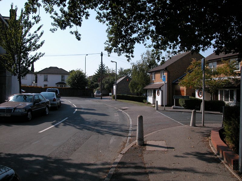
Southborough, just west of Petts Wood, is a pleasant residential area. The Loop crosses Southborough Lane to run along part of Oxhawth Crescent, and then Farringdon Avenue. Continue along this road to its far end, a distance of almost a kilometre.
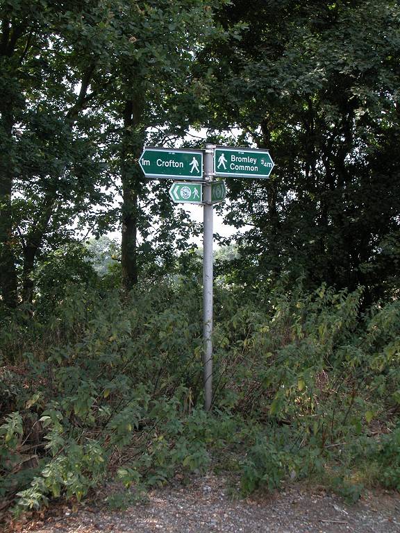
At the south end of Farringdon Avenue the Loop meets Crofton Heath, a substantial area of undeveloped country. There are paths running in all directions from here and they all invite exploration, but the Loop turns left into Sparrow Wood, a quiet area of mature deciduous trees.
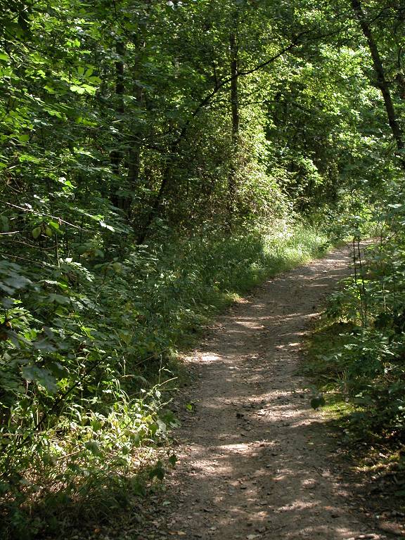
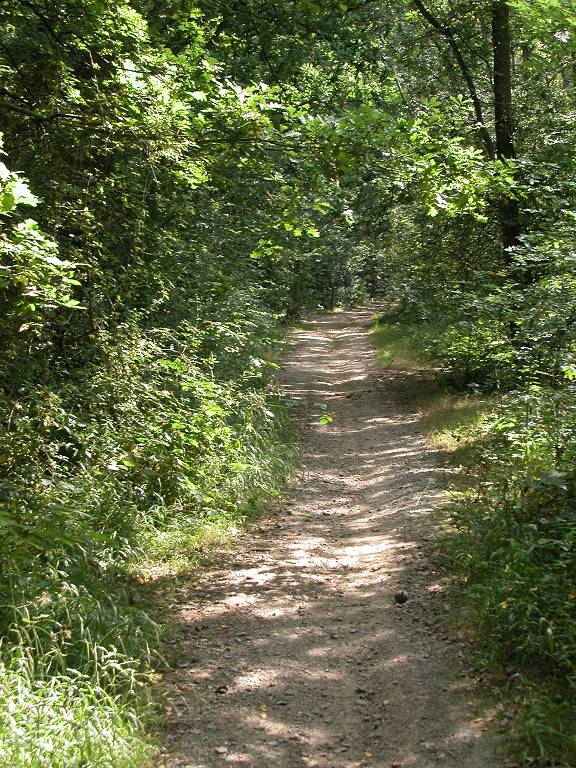
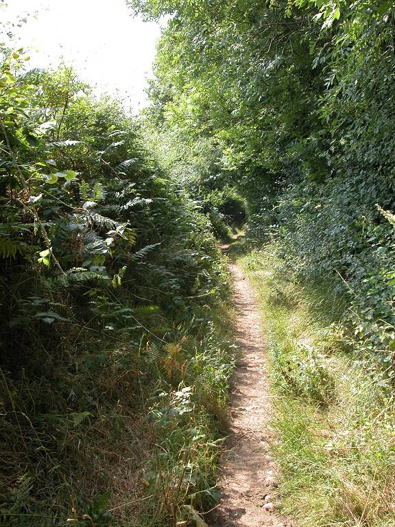
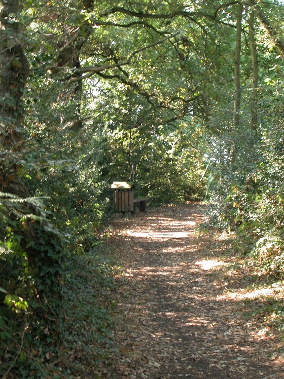
The woodland path continues for quite some distance. The path continues straight on for the most part, and at some indeterminate point Sparrow Wood becomes Roundabout Wood.
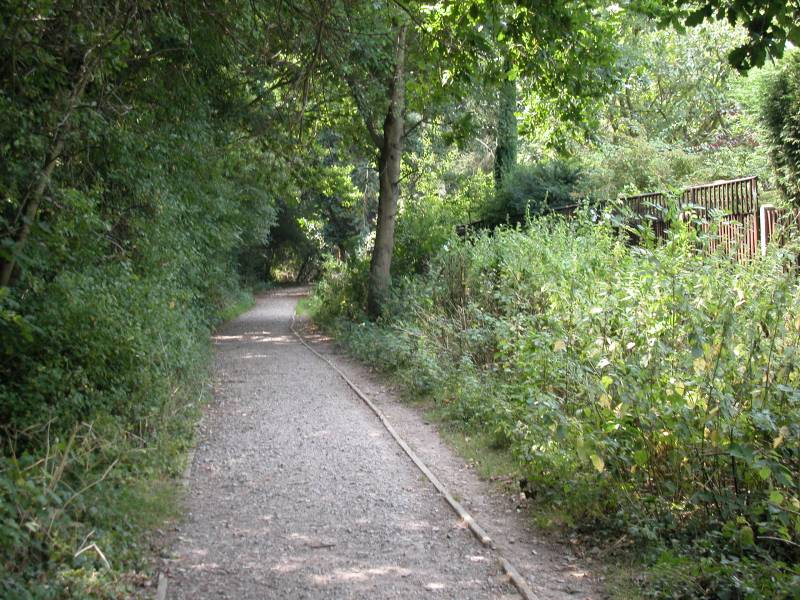

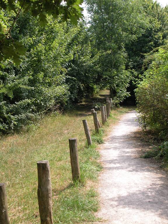
The route of the Loop is marked by yellow topped posts here and there, useful where crossing paths and bends could cause confusion. Look out for a complex section near the eastern end of the wood where the path swings left, then right, then right again to run alongside a stream. Here the path becomes surfaced with gravel. Follow this into the village of Crofton.
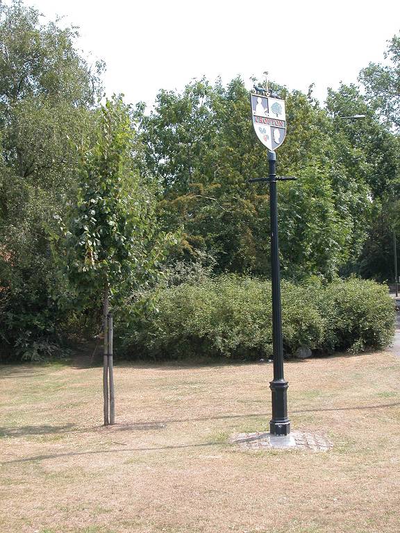
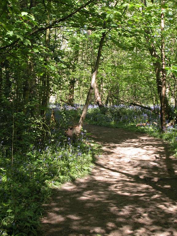
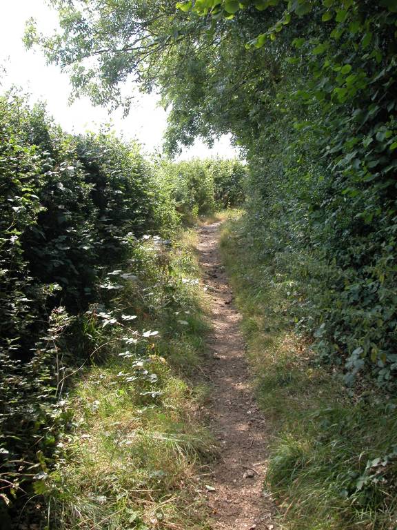
Crofton
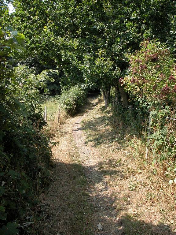
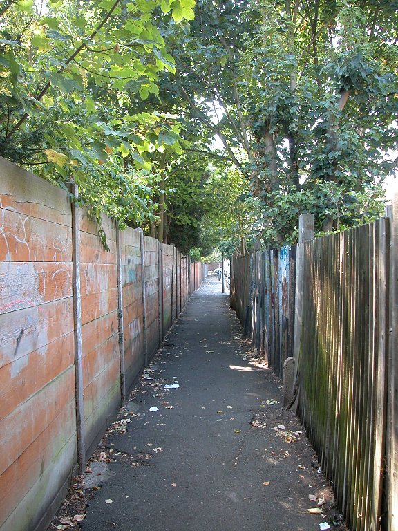
Crofton, or that part of it where the LOOP emerges, still looks very much like the Kent village it once was. There's a real village green here, and it features a village sign. The LOOP crosses the main road to continue along a narrow path between wooden fences.
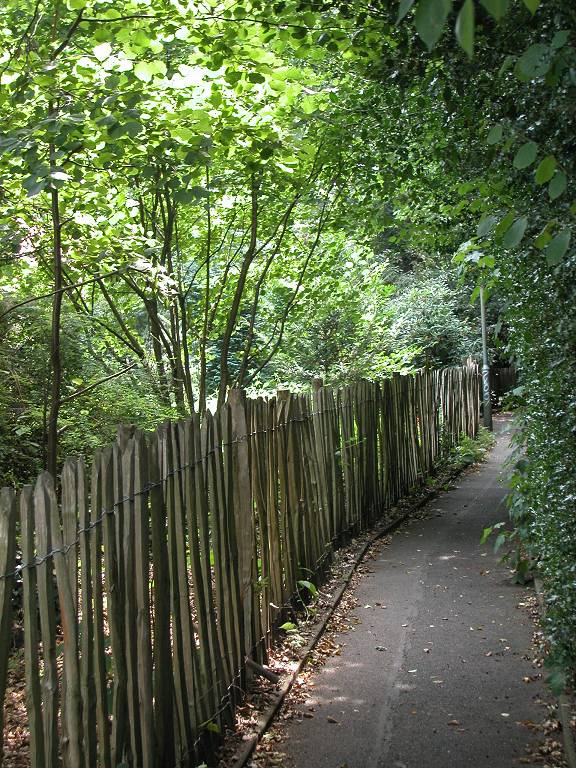

Path, Crofton
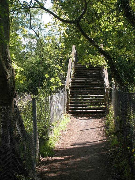
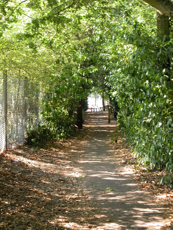
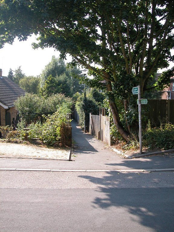
At the far end of the path you emerge onto a residential road. Go straight ahead for some 300 metres, then turn right at a small grassy patch for another path between the houses, this one featuring a good many trees on either side. In a short distance you find yourself within Darrick Wood.

The LOOP in Darrick Wood
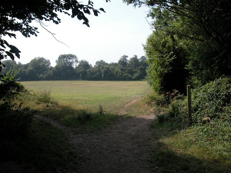
Darrick Wood playing field
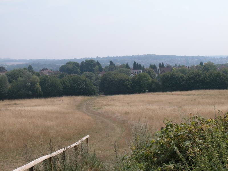
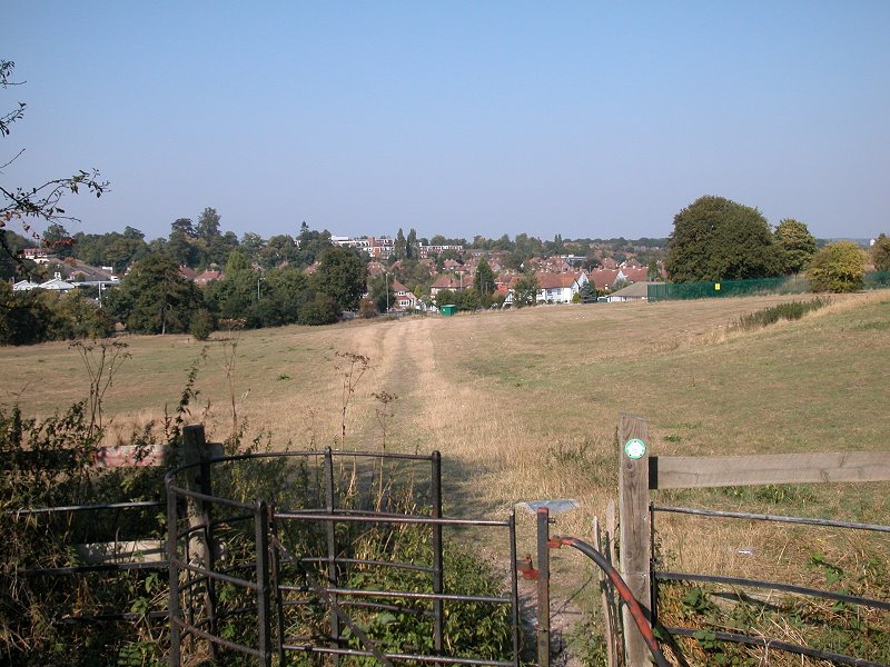
On emerging from Darrick Wood you continue along a grassy path with playing fields either side. This path emerges at the top of a slope of rough grass, with views out towards rural Kent. Take the middle of the three paths down the slope to the field boundary.
The LOOP in Farnborough
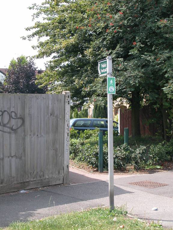
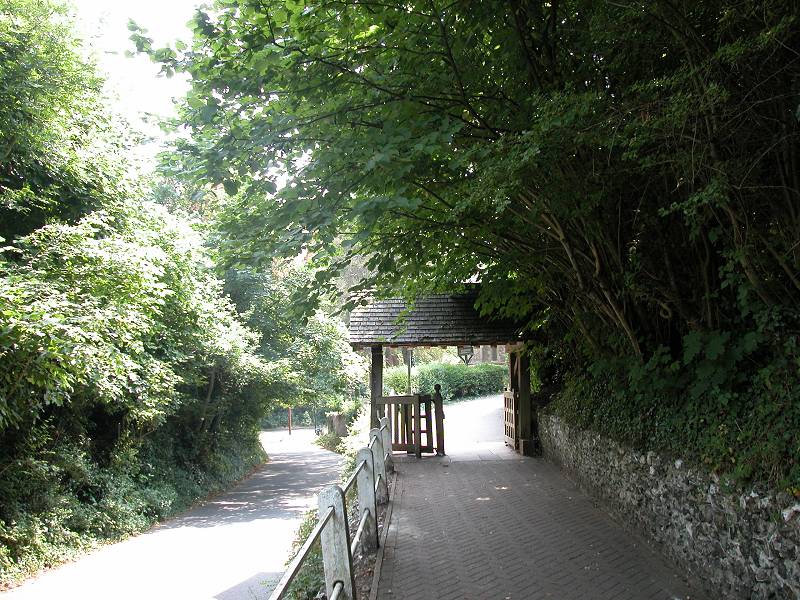
You've now emerged in Farnborough, not to be confused with the larger and better known town of the same name in Hampshire. Take the footpath (centre image above), which leads out onto Gladstone Road. Walk along the full length of the road into the centre of Farnborough.
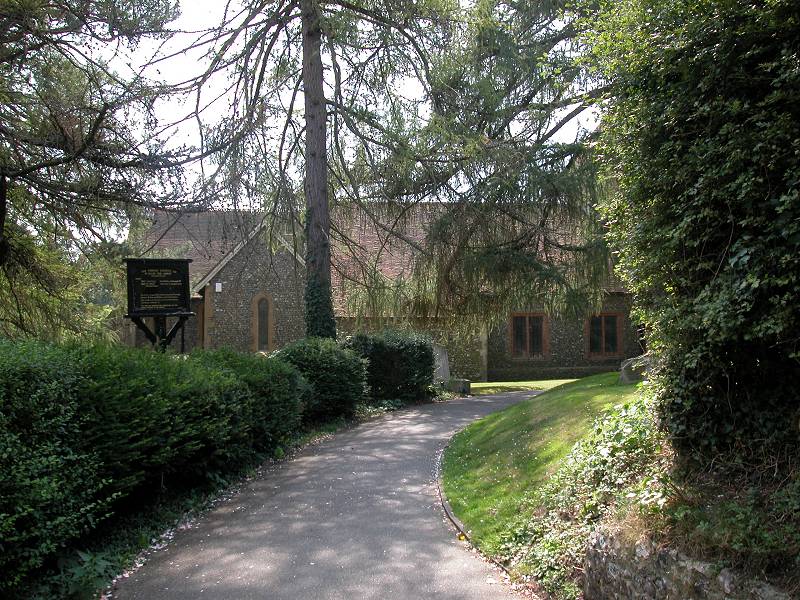
Farnborough, like Crofton, has something of a village air. More usefully it has a small cluster of shops, including a cafe. Gladstone Road merges with the main road (B2158) just short of the road junction in the village centre; at this junction turn left along Church Road. Watch for, and take, a rising path on the right-hand side leading to the lych gate of the parish church.
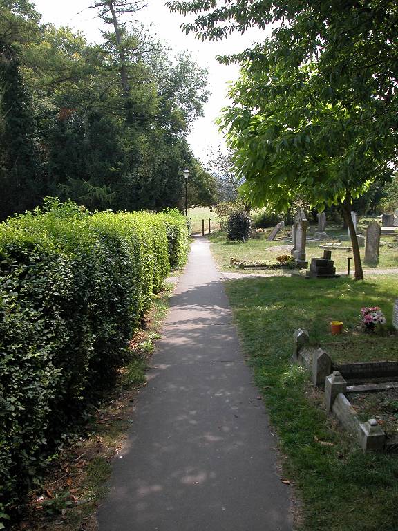
St Giles's churchyard, Farnborough
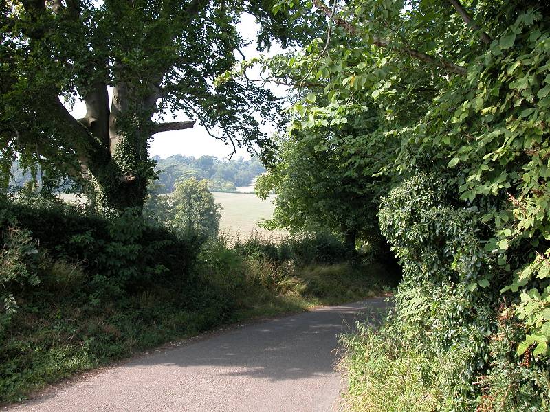
The LOOP turns right into the churchyard. Go past the church to the far end of the churchyard, where you'll find an exit into an open field (this is, in fact, the true edge of open country). Follow the path into a pasture, and keep to the left-hand edge adjacent to a wood.
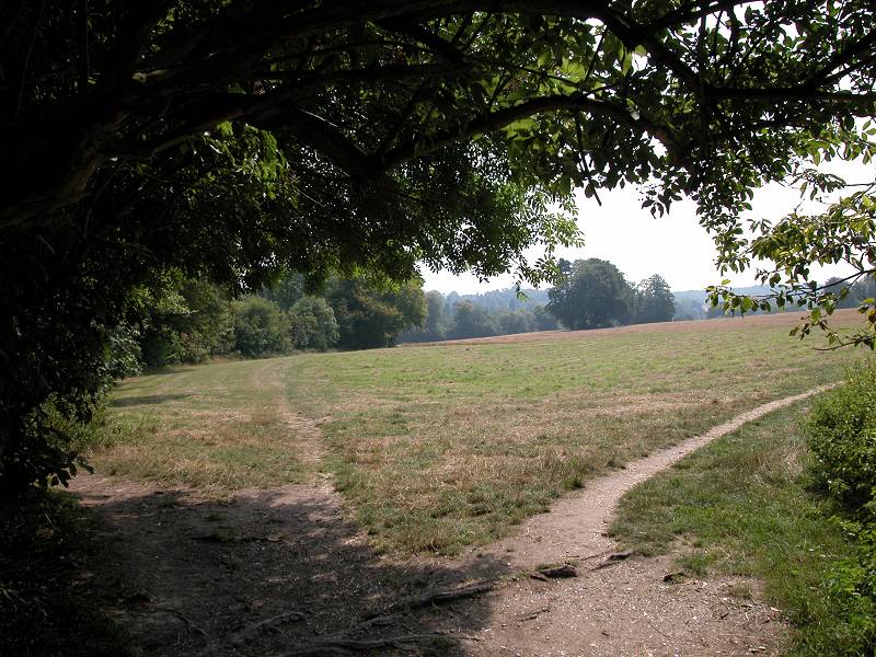
The LOOP reaching open country beyond Farnborough
The LOOP follows the edge of the wood until the woodland boundary curves to the right, at which point our route goes straight on into the wood. After some 200 metres the path emerges onto a lane, beyond which lays High Elms country park.
Entrance of the park
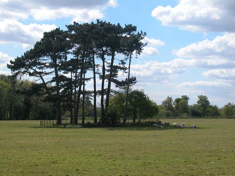
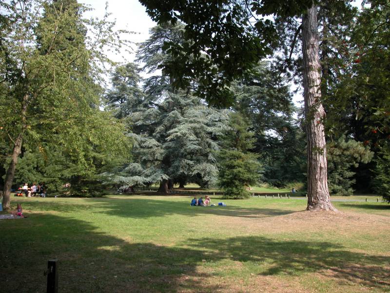
High Elms was originally the country estate of the Lubbock family, but is now owned by Bromley council. The original house was destroyed by fire some time ago, and what remains is a mixture of parkland and formal gardens. There are a number of exotic trees on the estate, a legacy of Sir John Lubbock's collection.
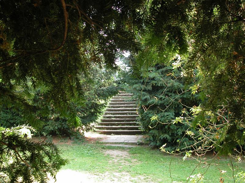
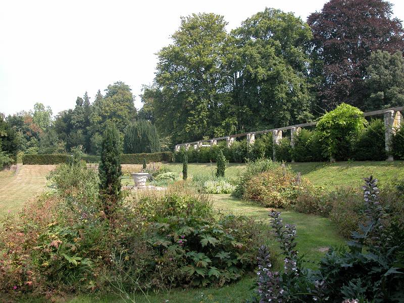
High Elms country park
The LOOP does not really follow a formal route through the park and you may as well wander where you wish, but after crossing the lane and walking through the car park into the grounds proper, aim to curve around gradually to the right. You should eventually reach the golf club car park. Follow the driveway out to a lane.
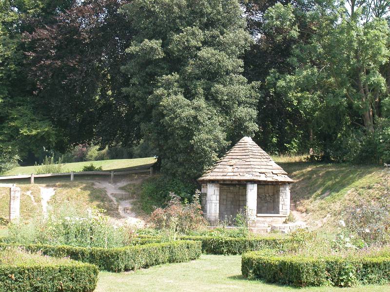
Gardens, High Elms country park
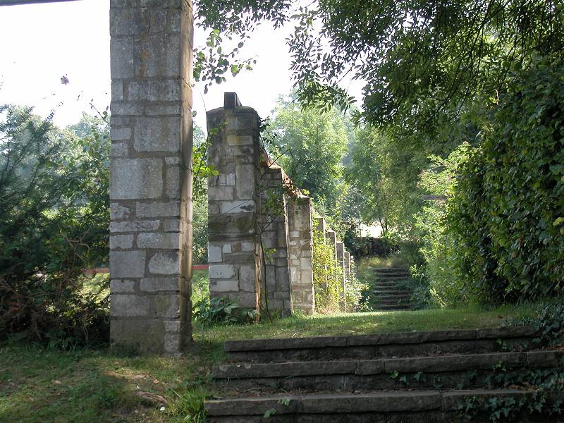
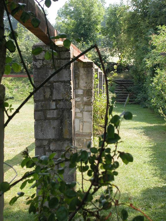
Clock House; woodland track; crossing lane
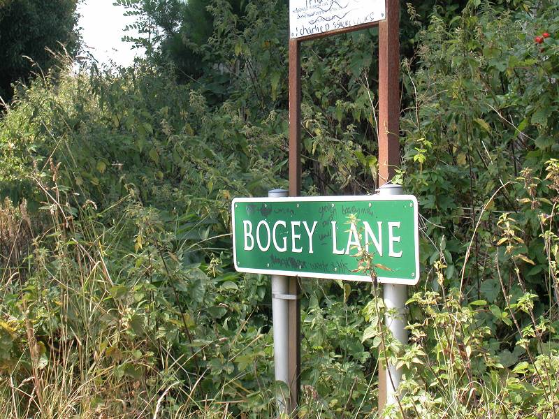
At North End farm turn left onto the lane. It's very tranquil here and it seems quite ludicrous that this area should be within the boundaries of Greater London. Go along the lane for some 150 metres then turn right into Bogey Lane, an unsurfaced track. Stop sniggering.

Bogey Lane and its environs
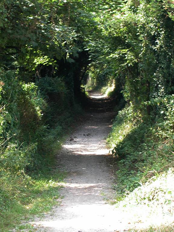
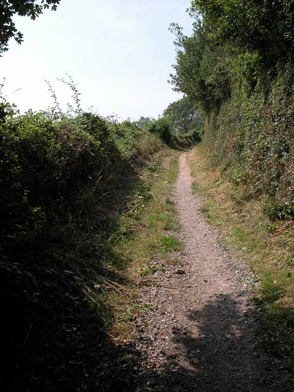
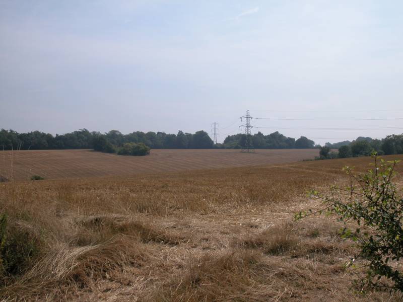
Bogey Lane is a very pleasant footpath that runs though undulating fields and pastures for a good half mile, between screens of trees and hedges. The screens of vegetation are not continuous and the opening allow plenty of views of the surrounding countryside.

Bogey Lane and Farthing Street
Farthing Street and its environs
Farthing Street eventually comes out onto Shire Lane, another back road largely untroubled by motor traffic. You can walk along the lane to the left, though there is a path running parallel on the north side. Watch for this path swinging right then left to run behind Holwood Farm and its outbuildings (image below). When you reach the far end of this track, negotiate the gates and stiles to gain access to the track to the right, which runs quite steeply uphill towards Holwood.
Holwood track
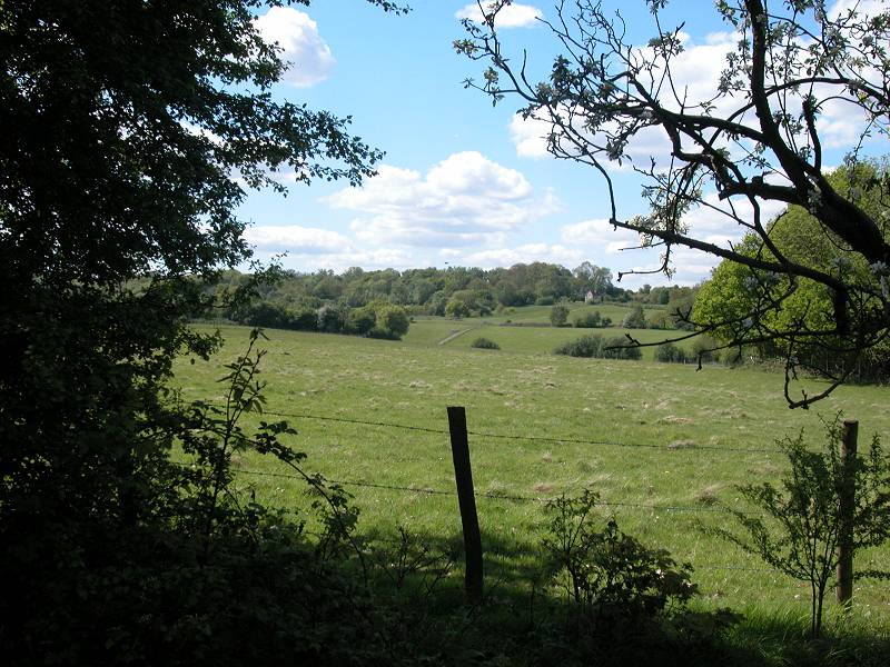
This track is as near as you will get to Holwood house, obviously a place of great character, but even more obviously privately owned. The grounds are well fenced and there are numerous "private, keep out" notices. Before you enter the woodlands close to the house pause and look back across this amazing little stretch of rural London.
The track past Holwood House
Somewhere near the summit of the track is the remains of the so-called Wilberforce Oak, where during the eighteenth century William Pitt the Younger (Prime Minister and owner of Holwood) reached an agreement with William Wilberforce to pass a law abolishing the slave trade. There is a commemorative stone seat on the spot, though it is fenced off.
Path to Keston
The path runs downhill, still in woodland, until it reaches the first main road since Farnborough several miles back - a rude shock, as the traffic is heavy.
Keston Common
Cross the road (and be careful!). You're now in Keston Common. Follow the path around to the right. The route is a little confusing as there are several tracks, but as long as you keep close to the road to your right you will soon come to a car park in a clearing. Go across the exit track at the north end. A set of steps leads down to Ceasar's Well, a spring and the source of the river Ravensbourne.
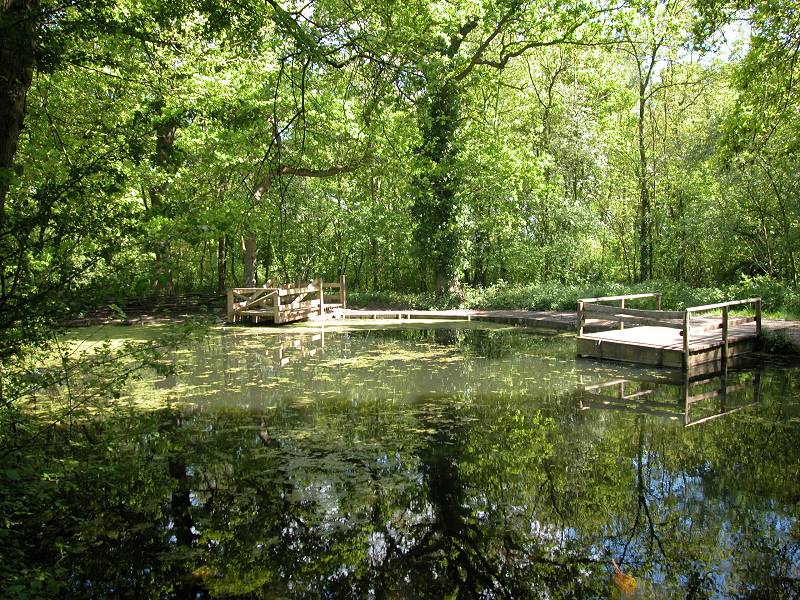
Keston Ponds
Continue along the path past the spring to reach Keston Ponds. The ponds are artificial and were constructed in the early nineteenth century to provide a water supply to Holwood House. The ponds are now a popular recreational spot so don't be surprised to find plenty of people here.
Keston Ponds
There are two ponds, and the path keeps to the right hand side of the first (smaller) pond then runs between them to reach the left (west) bank of the second, larger pond. There's a large grassy area towards the northwest corner of the pond, with tourist information, and an ice cream van in season. A road runs along the north side of the pond. If you follow it to the right you will reach a toilet block and a bus stop (buses run into central Bromley from here should you wish to break the journey. Otherwise cross the road and take the track straight ahead.
Keston Ponds

There is a third pond on the far side of the road but it is nothing like as picturesque as the first two, and in any case it lays some thirty metres off to the right of the path. The path itself curves to the left and emerges from the wood on the outskirts of Keston.
Approaching Keston from Keston Common
Keston
In Keston itself the LOOP first runs along Lakes Road to come to the centre of the village. (Keston is actually a village, being discontiguous with the conurbation of Greater London nearby). Turn right to reach the roundabout, only about a hundred metres distant. There's a green here, beside which three roads lead off to the northeast, north and northwest. Go towards the northwestern exit (West Common Road) but then turn left onto a track that runs parallel with the road within the adjacent woodland.
Keston Green and the woodlands adjacent to West Common Road
Woodlands west of Keston
The path through the wood is pleasant enough though it offers no view of open country. The path converges once more with the road, at a locality called Baston Manor. At this point the road forks. Follow the path alongside the left fork, Baston Manor Road.

Baston Manor
You're now within the bounds of West Wickham Common, which is owned by the City of London Corporation. Not far from the fork a path leads off to the left to follow the edge of the common. Initially it runs through woodland, then afterwards along the backs of the houses of Coney Hall, below you on a steep bank.
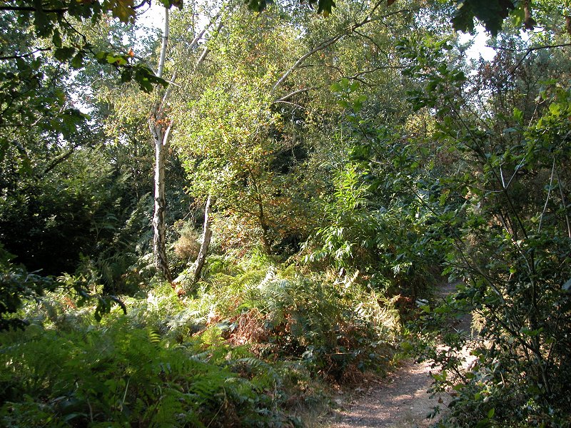
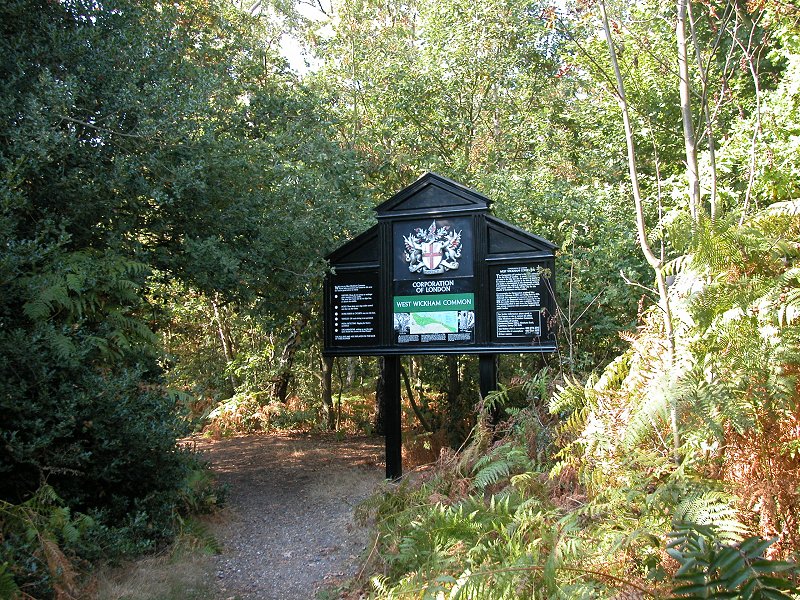
West Wickham Common
Coney Hall
The LOOP emerges once more onto the road, but at this point you should cross a suburban road and then continue to follow the woodside path along the backs of the houses. This path runs downhill to converge with a main road not far from the centre of Coney Hall.
Coney Hall
Follow this road for a short while, staying on the grass verge on the right hand side. Just after a green traffic island (first picture below), go half right for a path disappearing into the trees. This follows a short path that passes the trunks of a group of ancient oak trees (second image below). The guide book suggests that they may well be seven hundred years old. Not far beyond the oaks the path emerges onto Gates Green Road, at which point you turn left.
Footpath
You go along Gates Green Road for aonly a very short distance before turning right onto a footpath, as seen above. This footpath runs between wooden fences to emerge into Coney Hall's high street. Cross the street and walk along Church Drive (below), which emerges at the rear of a recreation ground. The lane crosses this recreation ground to another busy road. Cross this and go straight ahead into the tranquility of the churchyard beyond.
Coney Hall high street, and Church Road
St John's Church, a view over Fox Hill, and the path to West Wickham
The churchyard section echoes that at St Giles's in Farnborough, not so far behind us. We're on the edge of London's built-up area yet again, and there's a good view southwestwards towards Fox Hill. A public path leads off in this direction but the LOOP takes a path to the north (third image above) to reach Addington Road at the corner of a substantial sports ground.
The way into the park can be a little tricky to find; rather than starting off along Addington Road as the map appears to suggest, go instead into Corkscrew Road (the road ahead of you as you approach from the church, first image above). Cross to the left side and then find the gap in the hedge and fence just a little way along.
You're now in Sparrows Den playing fields. These fields run along the north side of Addington Road for a good mile. Walk adjacent to the Addington Road fence for about 300 metres, then turn half right to head for the corner of the woods over to the right. You will find yourself crossing sports pitches and may have to thread a way among them if matches are in progress. At the corner of the wood turn half right again and walk uphill along the side until you are virtually at the park's north fence. Now go left to find a stile into the wood.
This is Spring Park Wood, owned by the Corporation of London as are many of the woodlands hereabouts. You will find yourself on a good, straight track heading generally southwest through the middle of the wood. There are many side tracks, all inviting exploration.
Spring Park Wood
Some 900 metres into the wood
you
will reach a substantial crossing track at a small concrete pillar.
This
is the borough boundary between Bromley and Croydon, and before the
local
government reorganisation in 1963 was the county boundary between Kent
and Surrey. Cross into Croydon, and continue straight ahead.
|
All Bromley London Loop images on one disc, 346 images, £8.00 |
Back to Borough of Bromley index page
![]()