|
The
bus dropped me off at the Glenshee ski centre in the late morning. The
altitude of the A82 Braemar-Blairgowrie road here is only a whisker
short of 2000 ft; it's the highest main road in Britain and is topped
only by the Bealach na Ba on the west coast (an unclassified road that
reaches 2009ft). Glenshee is not exactly a scenic environment but
fortunately the two Munros that rise immediately above it are the most
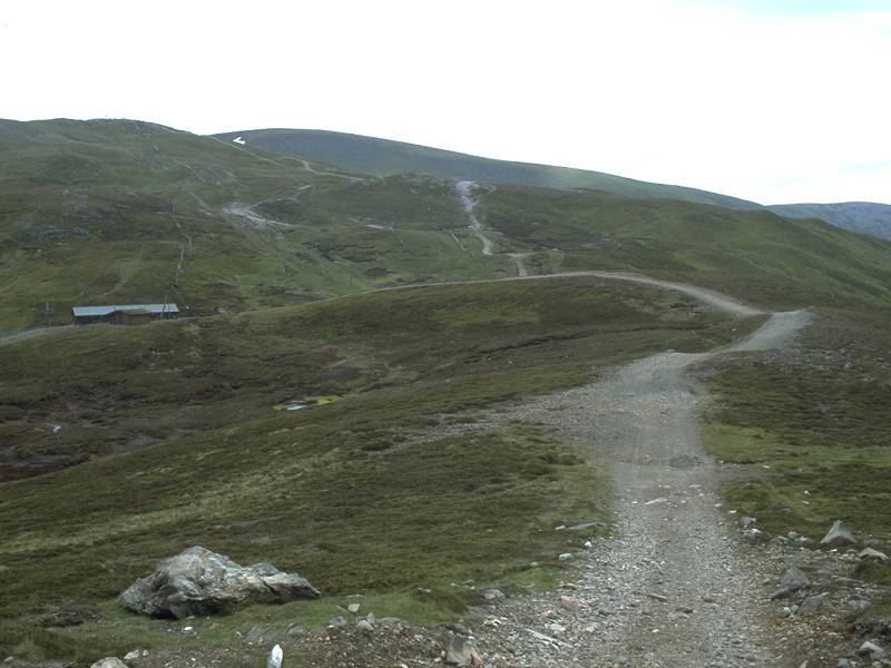
accessible high mountains in Britain. I started off up the rough
vehicle track to the northwest, which was heading almost straight for
the summit of Carn Aosda.
|
|
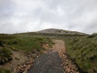
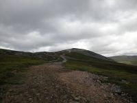
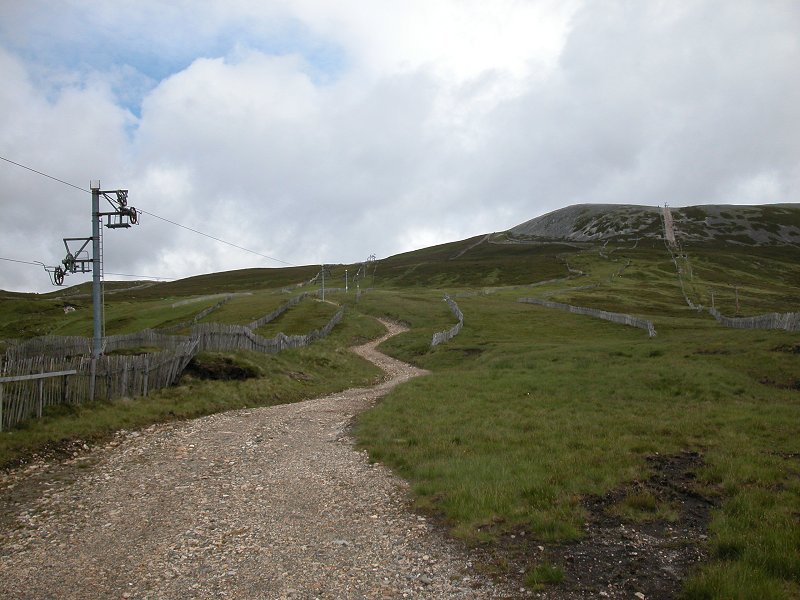
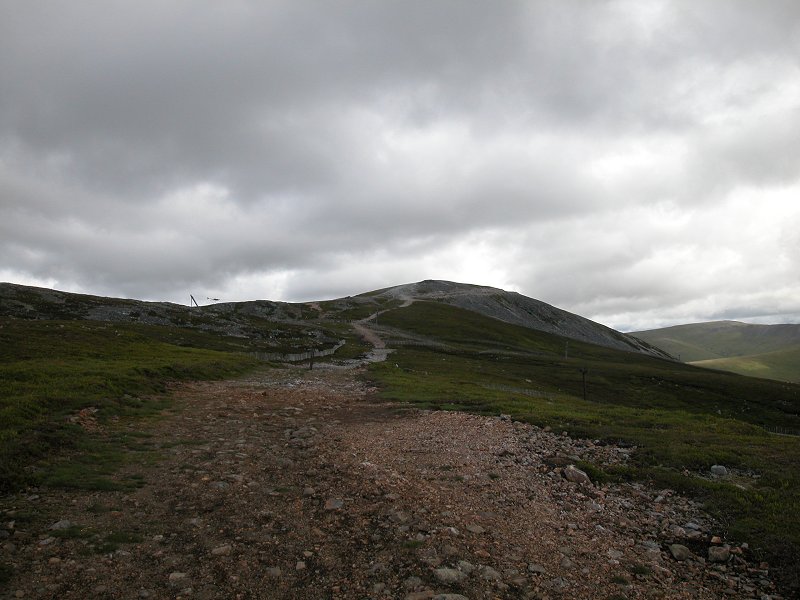
It's
not a pretty ascent route but it's quick and effective. This vehicle
track runs up through the ski runs on Carn Aosda's eastern slopes.
|
|
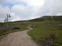
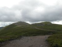
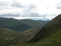
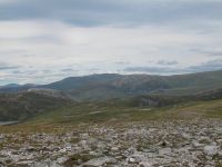
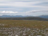
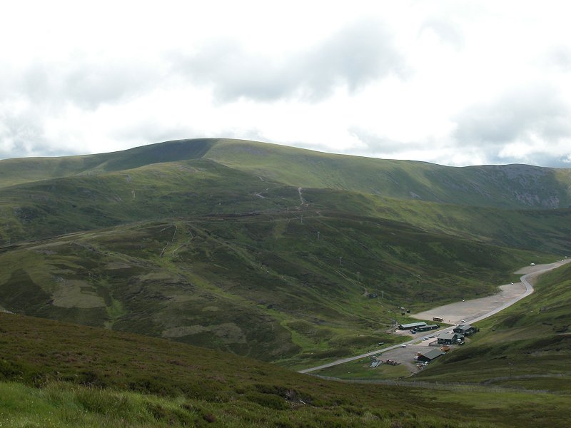
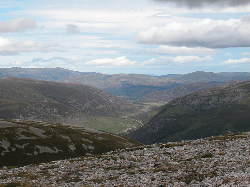
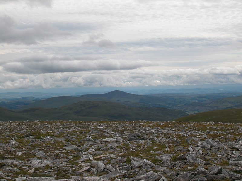
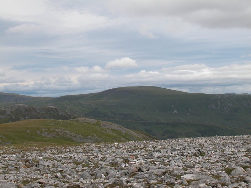
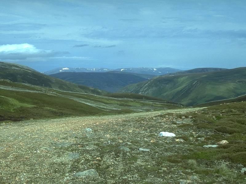
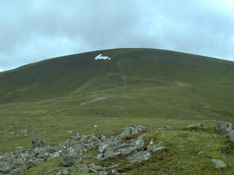
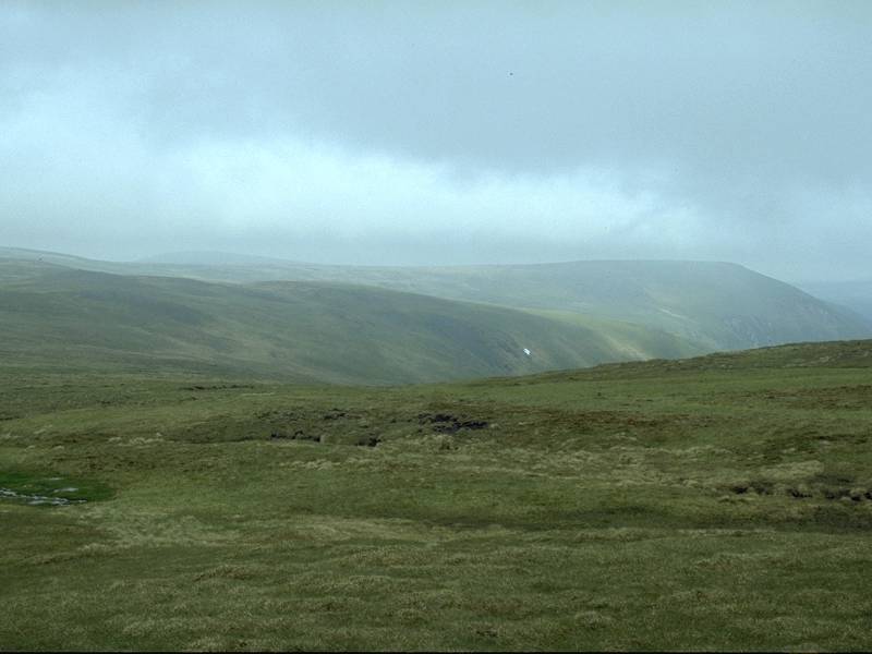
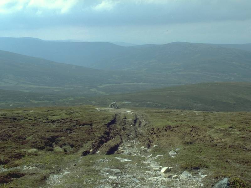
.After
only 25 minutes of climbing I stopped to take a look back at the ski
centre. the hill on the other side of the glen is Glas Maol.
|
|
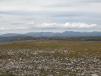
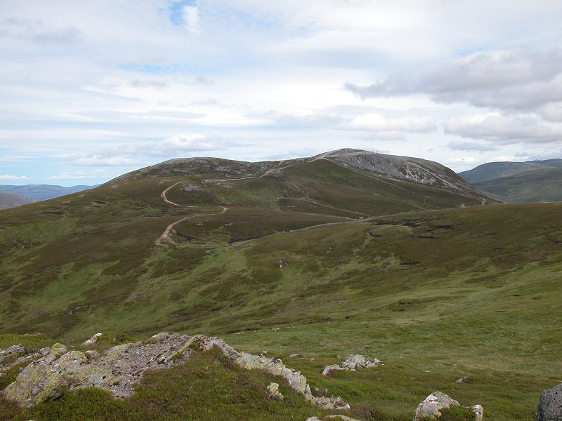
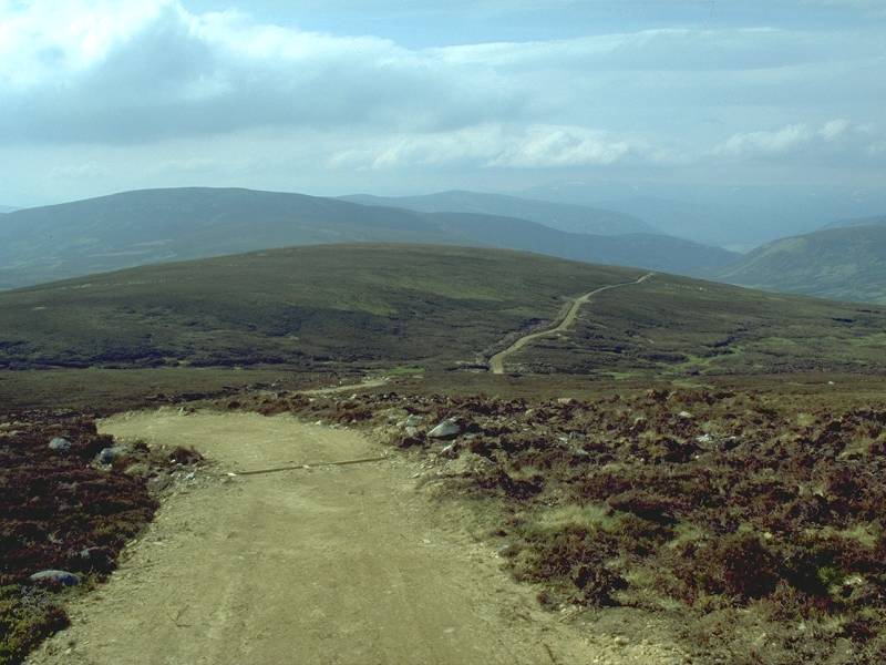
From further along the track I'm looking at the Cairnwell, just over a mile
to the south. Some of the guidebooks would have you climb the Cairnwell
first; I regard this advice as dubious because the Cairnwell's slopes
are pathless and uniformly steep.
|
|
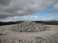
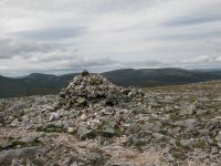
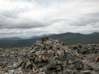
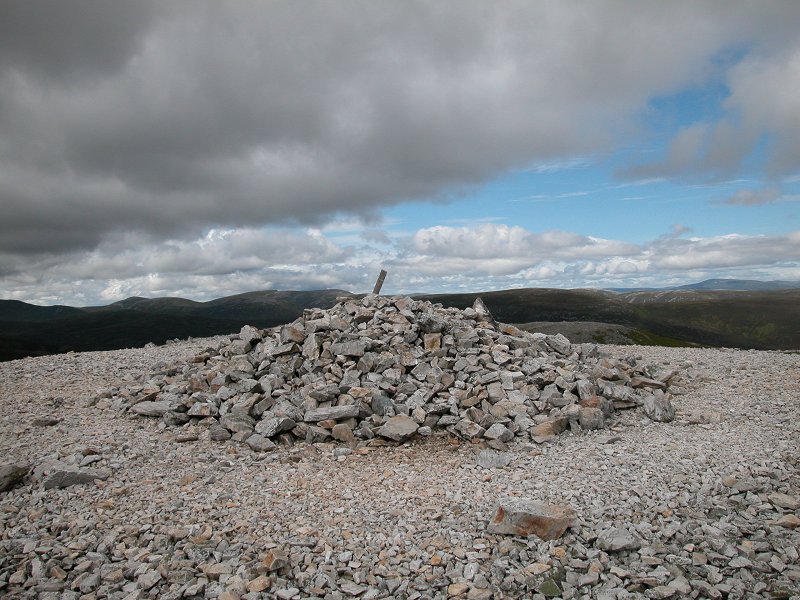
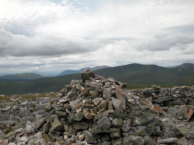
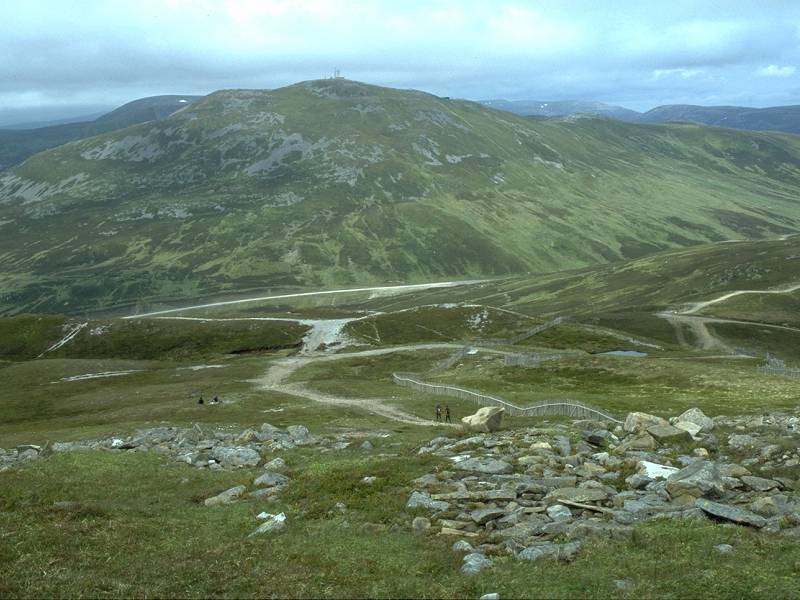
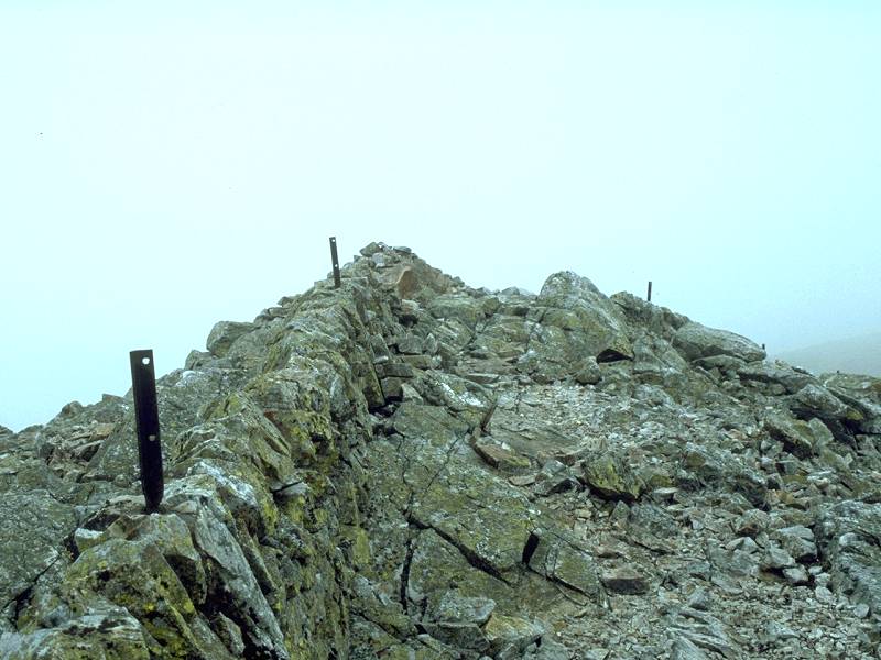
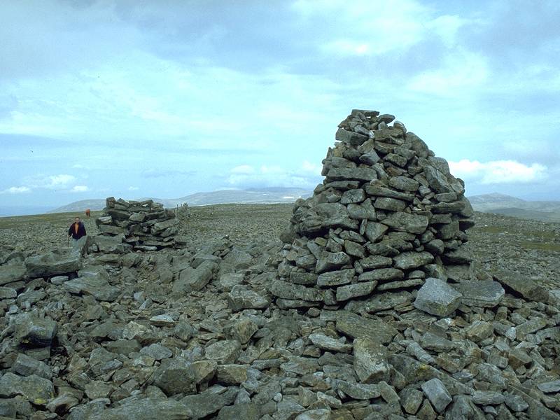
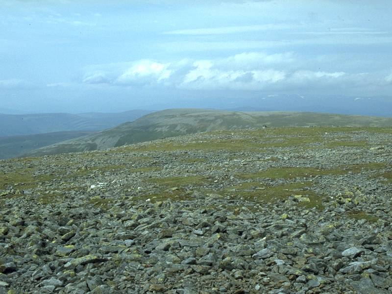
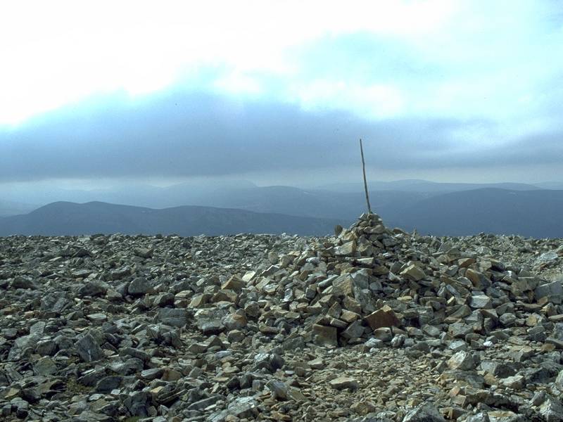
Just
40 minutes after stepping off the bus I arrived at the summit of Carn
Aosda. This must surely be Scotland's easiest Munro. The summit, a
rring of shattered stone, is only just clear of the intrusions of ski
tows and snow fences. The view to the south is marred by these
developments but in other directions the mountainscape is interesting.
|
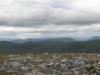
|
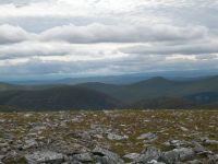
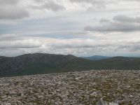
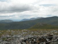
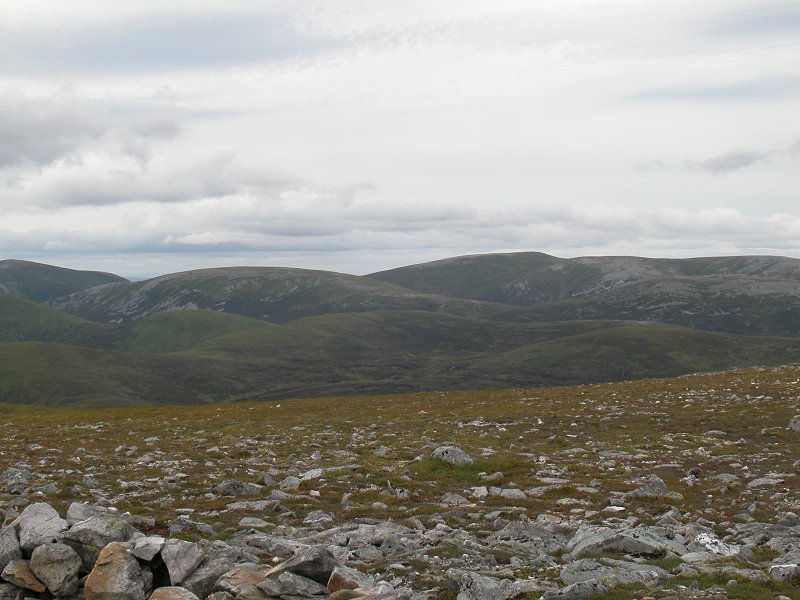
The view from the summit - the high tops of the Cairngorms to the north.
|

|
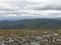
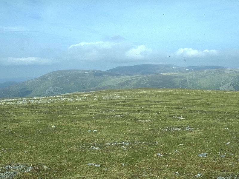
A
closeup of the previous shot, looking directly at the extensive summit
plateau of Beinn a' Bhuiridh, with Ben Avon to the right.
|
|
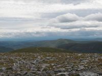
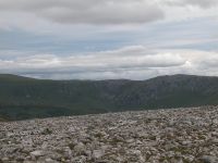
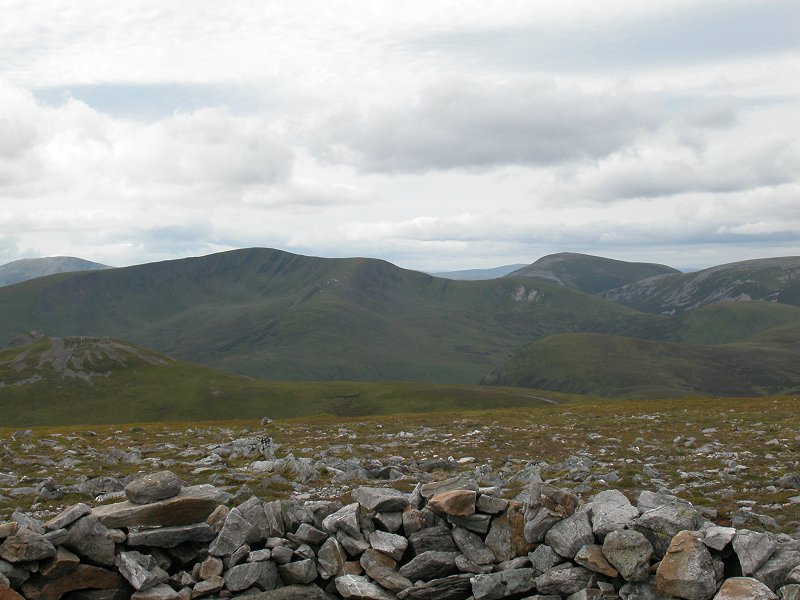
The view to the east, and here the summit of Lochnagar appears in the centre of shot.
|

|
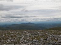
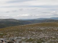
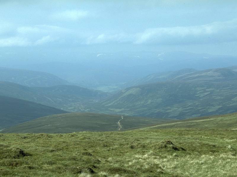
The view to the northeast, looking dow the glen towards Auchallater and Braemar.
|
|
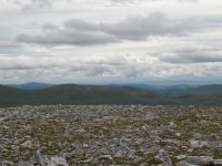
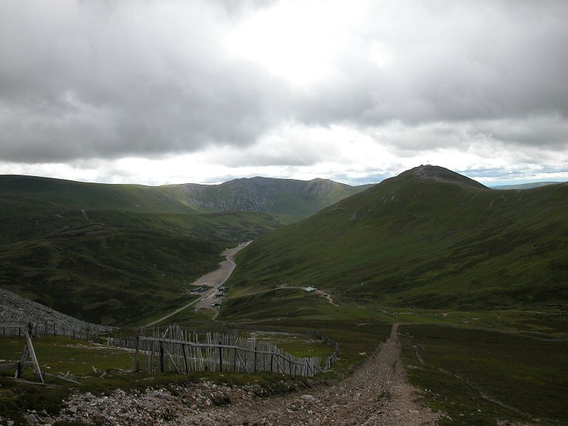
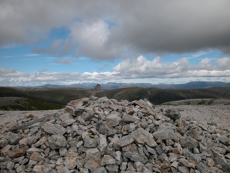
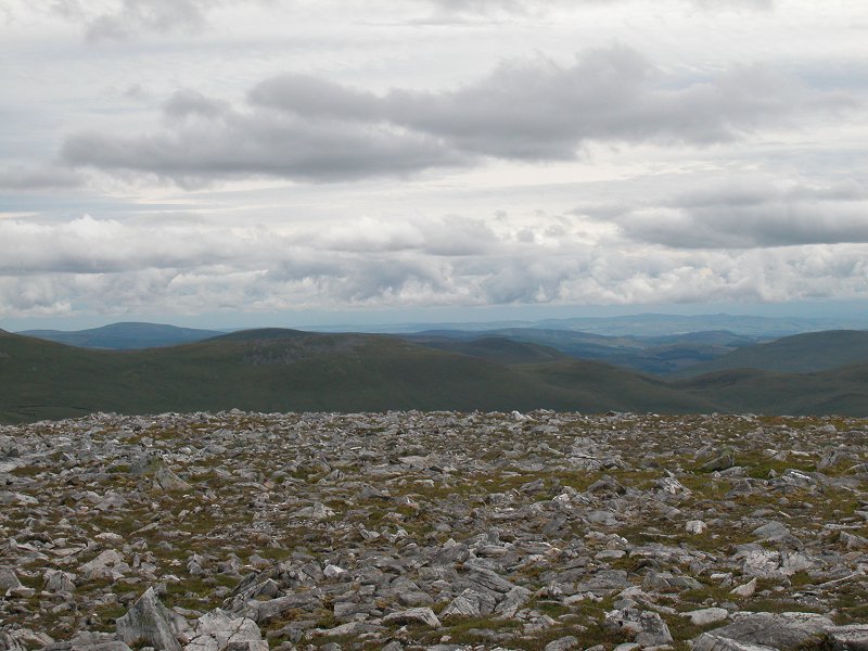
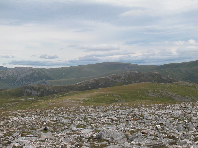
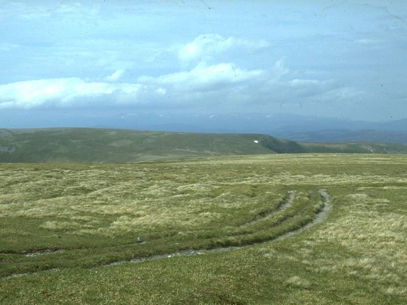
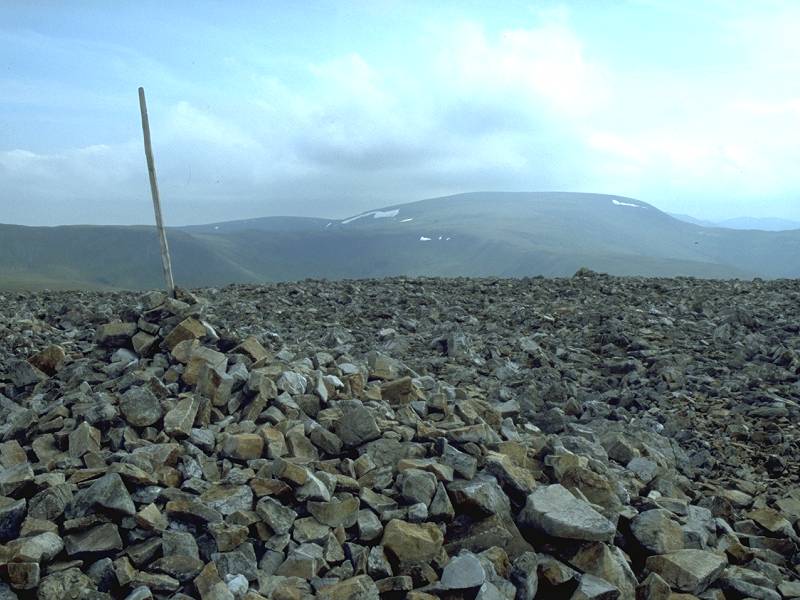
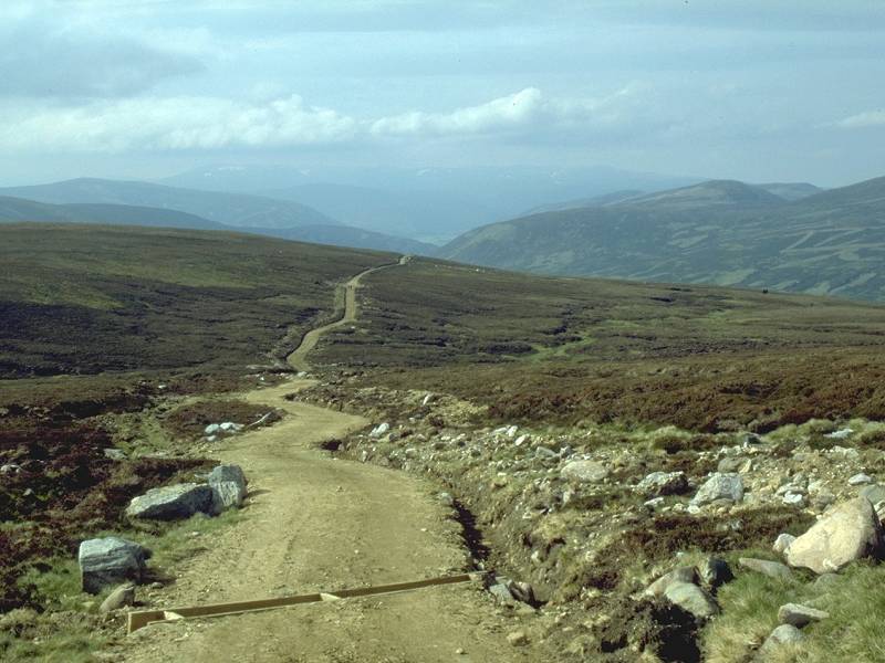
The retrospective view of Carn Aosda as I walked along the ridge path to the south west.
|
|
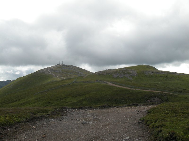
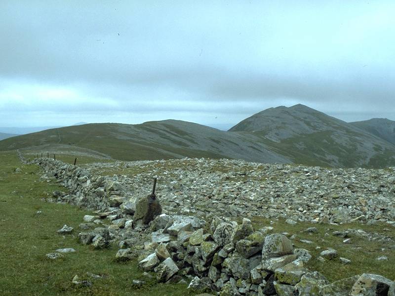
The
path sweeps around in a wide curve towards the Cairnwell. I would be
going that way later on the day but my immediate objective ws to turn
right for Carn a' Gheoid, about a mile and a half away to the west.
|
|
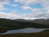
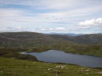
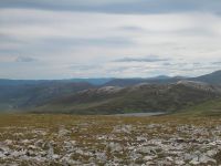
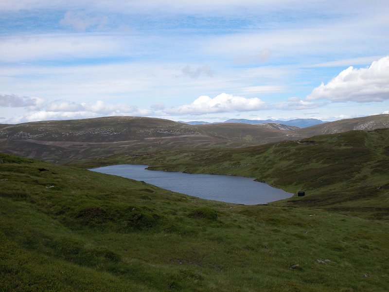
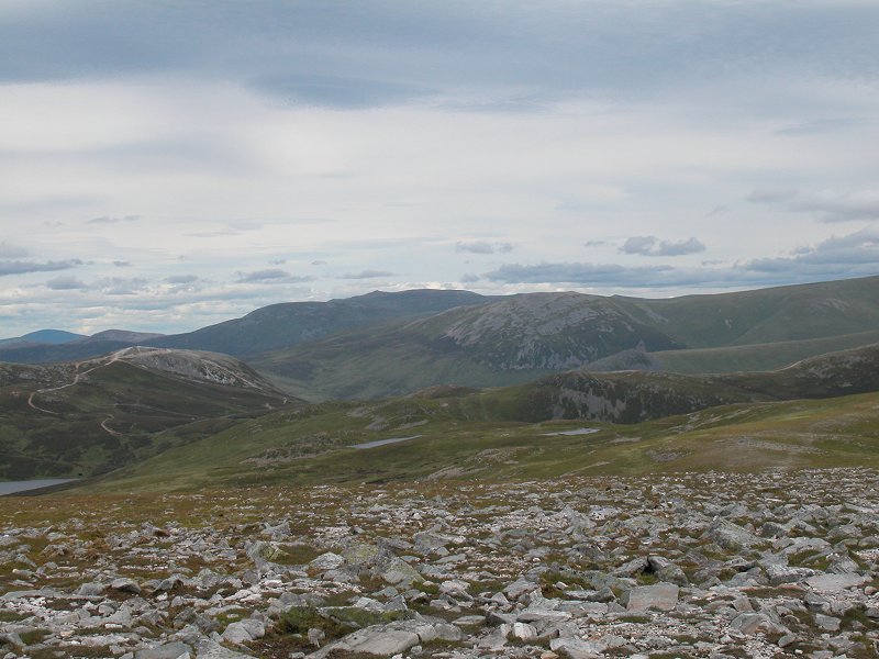
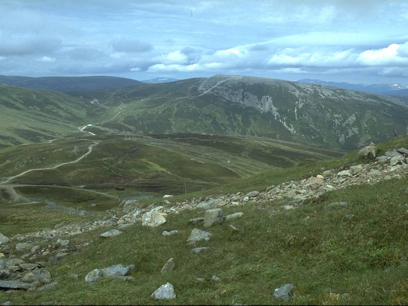
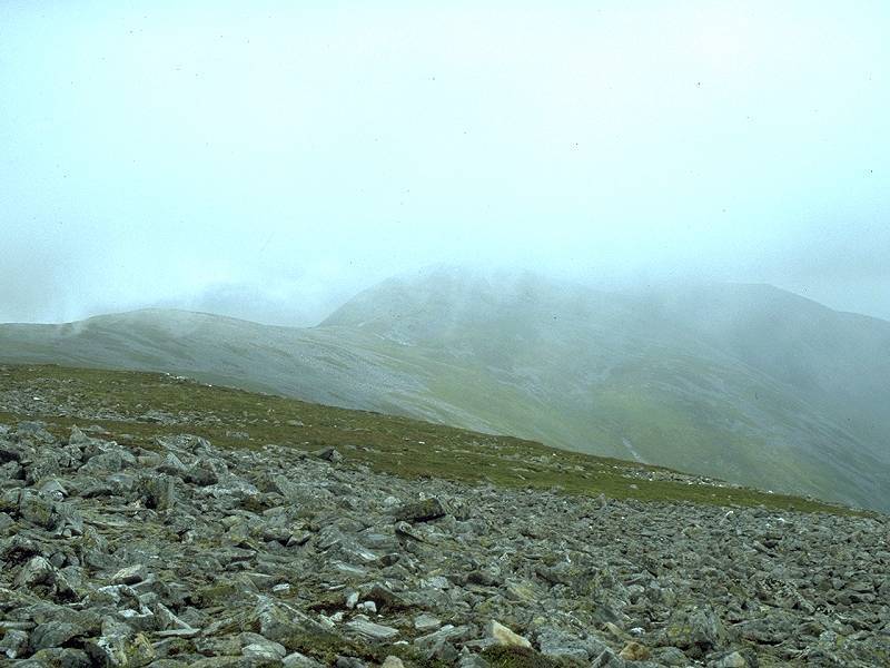
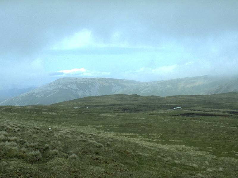
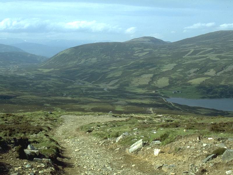
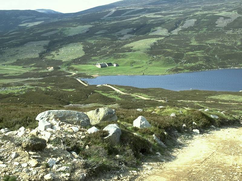
Loch
Vrotachan, which lays in a basin to the west and which drains into the
Baddoch Burn beyond and to the right. An Socach and Beinn Iutharn Beag
appear beyond, and the weather is starting to clear from that direction.
|
|
I didn't know it at the time but this was to be my best photo of the Cairnwell, seen here across the head of Coire Dhirich.
|
|
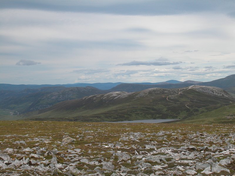
Loch Vrotachan from the same point.
|

|
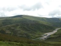
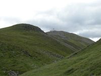
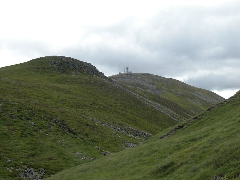
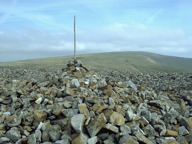
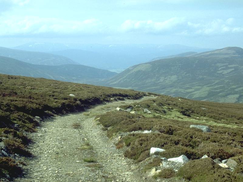
A
look back at Carn Aosda from the same point. The rough vehicle track
around the head of the ski runs is clearly seen and is a bit of a
disfigurement.
|
|
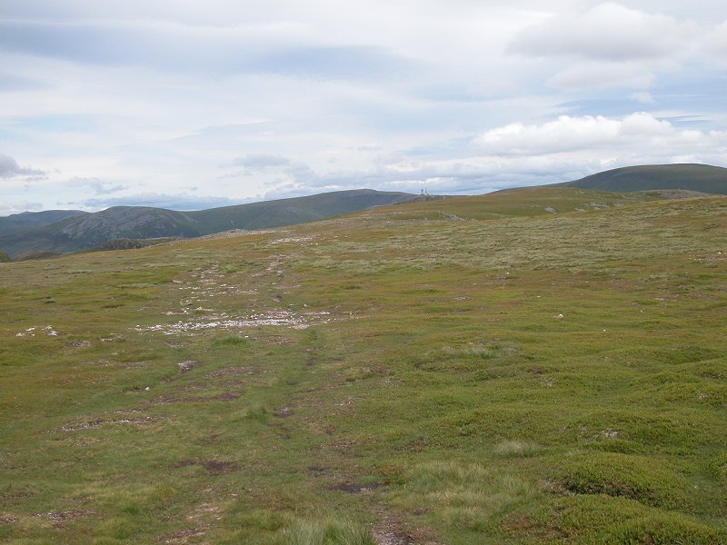
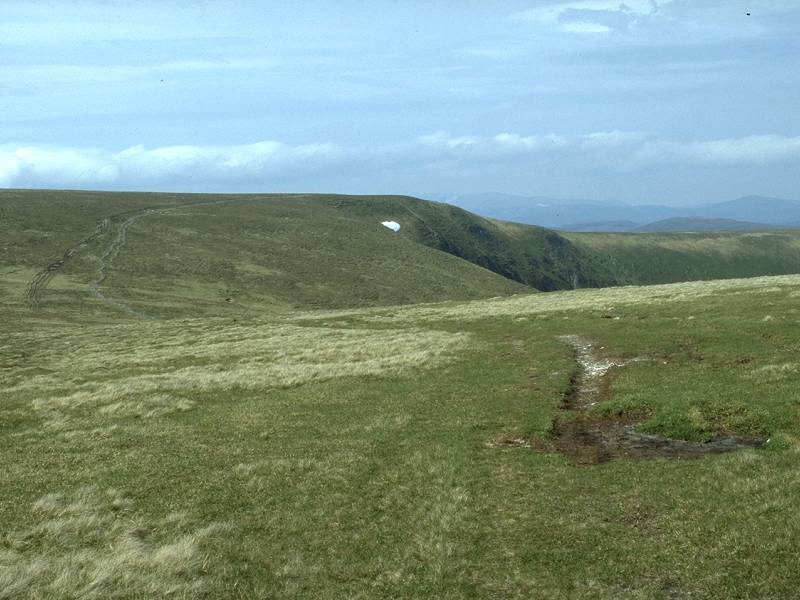
The
map shows no path from the Glenshee vehicle track westwards to Carn a'
Gheoid. In fact there is a good path for most of the way, but the
terrain is so benign that a path is not actially necessary. This is one
of the great joys of the Cairngorms and the Mounth; the terrain is a
gift to walkers and you can more or less pick your own line and wander
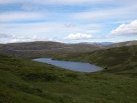
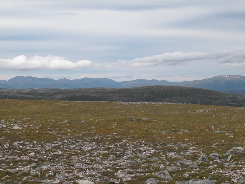
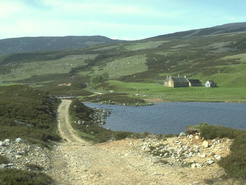
wherever you choose. The route here runs along the top of Creag a' Coire Dhirich. Here's another view of Loch Vrotachan with the central Cairngorms on the skyline.
|
|
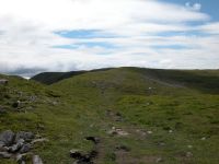
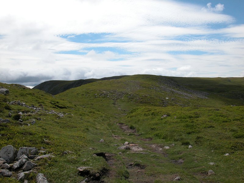
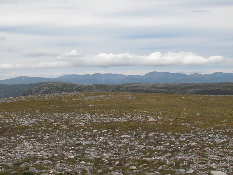
This is a section of the path, showing the ridge running along to the monor top of Carn nan Sac.
|
|
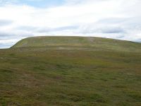
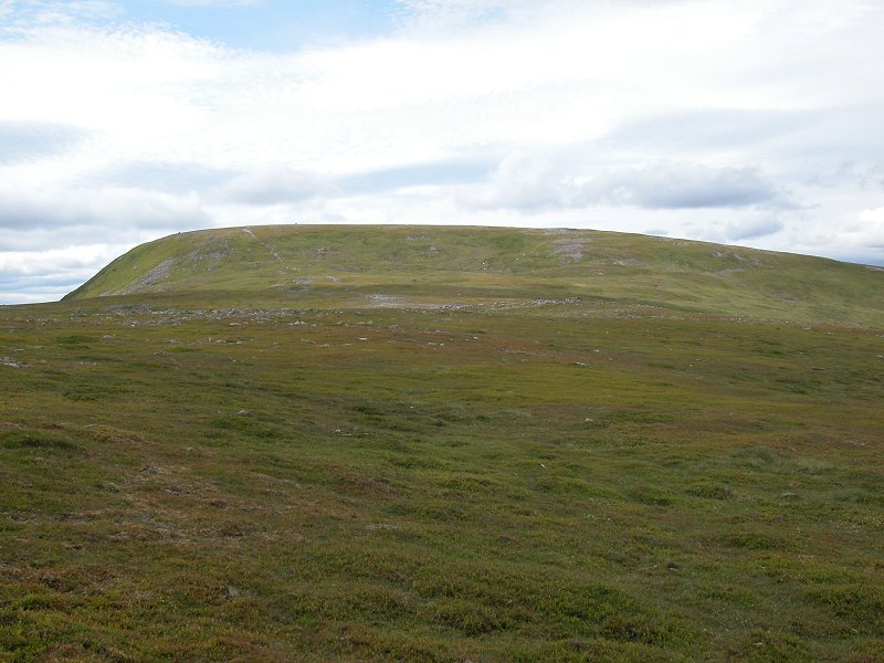
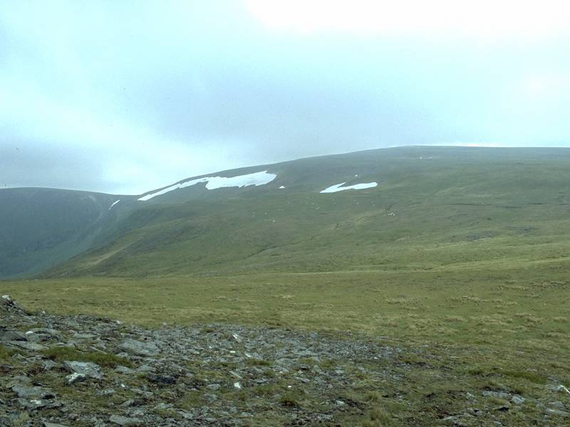
Panning ti the right from the same spot that's Carn a' Gheoid, roughly 2km away.
|
|
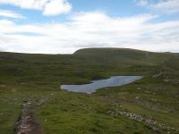
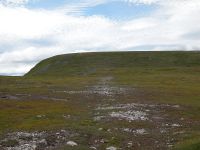
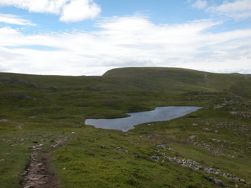
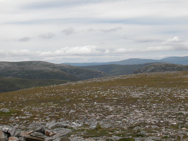
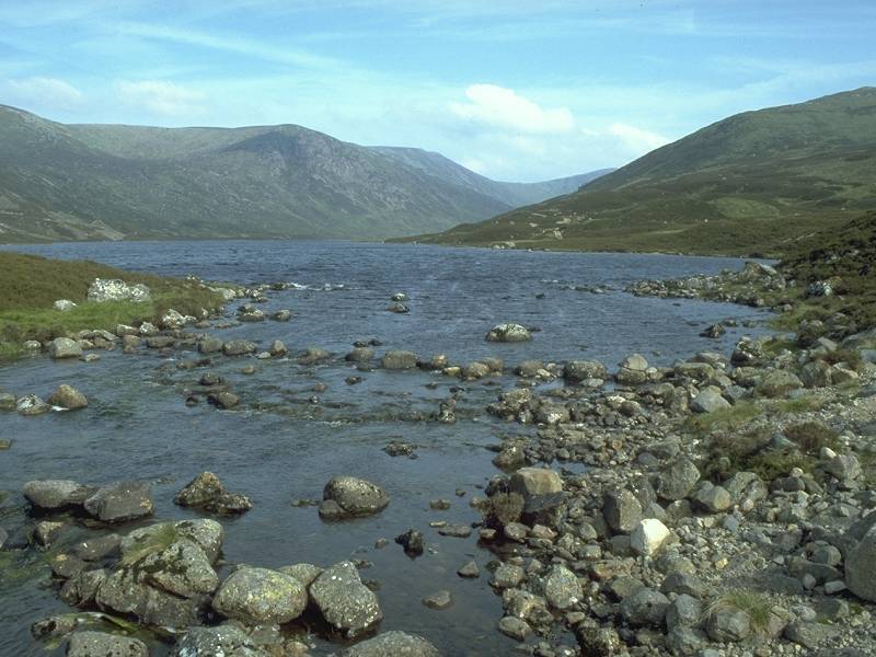
This is one of two small lochans, neither of which are named on the map, laying just to th north of the path.
|
|
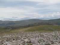
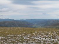
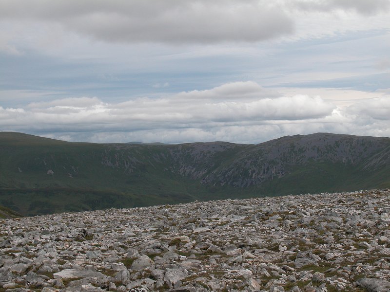
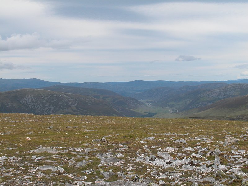
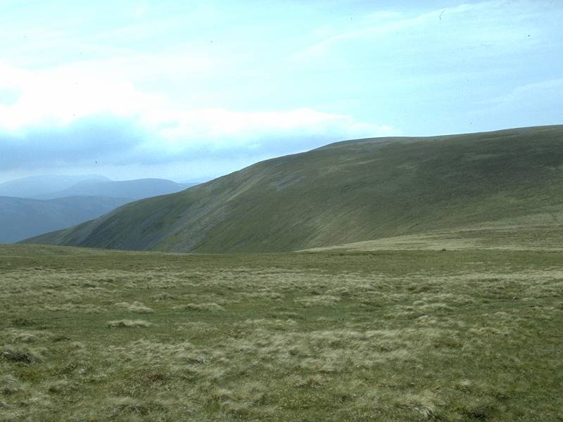
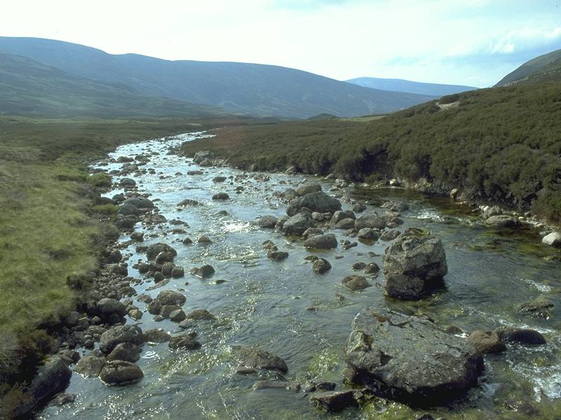
A view along the imposing Coire
Dhirich. The ridge of Creag Leacach rises to the left across the dip of
Glen Shee (a small section of the road can just be seen). Way over in
the distance towards the right is the shapely summit of Mount Blair.
|
|
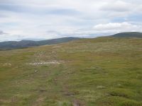
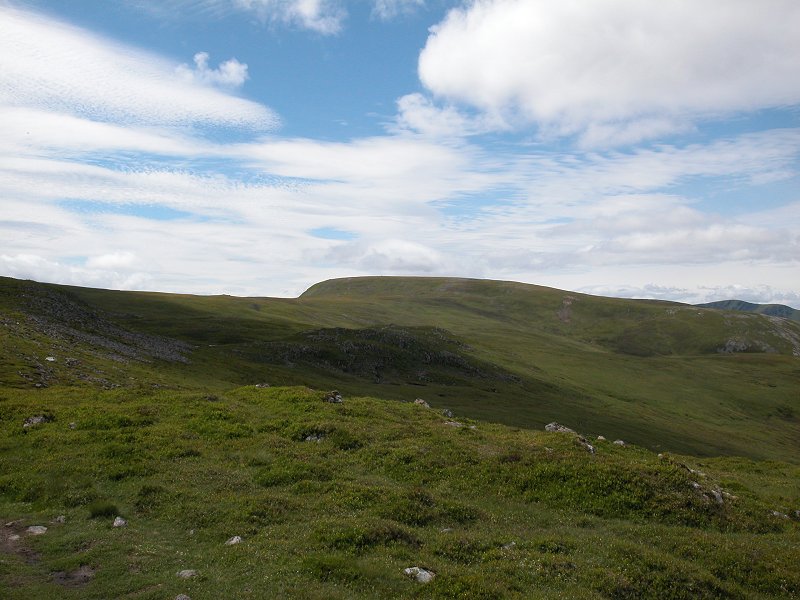
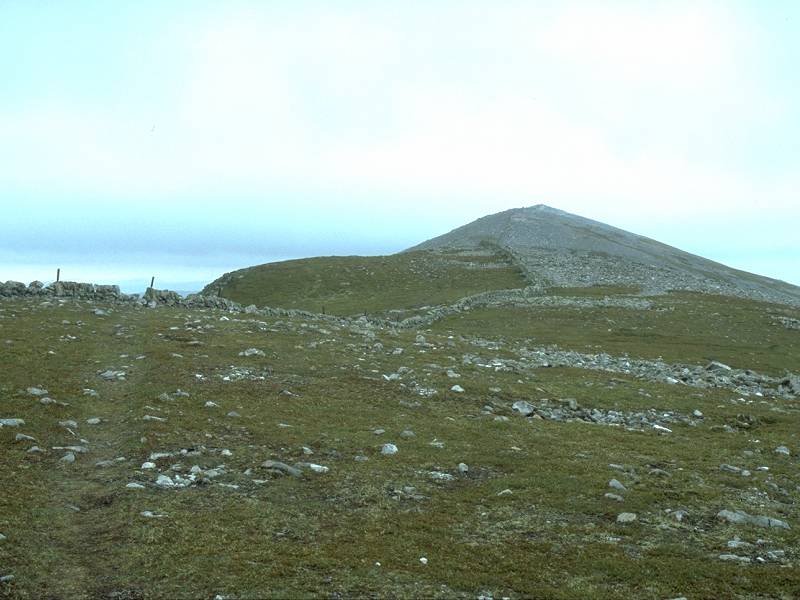
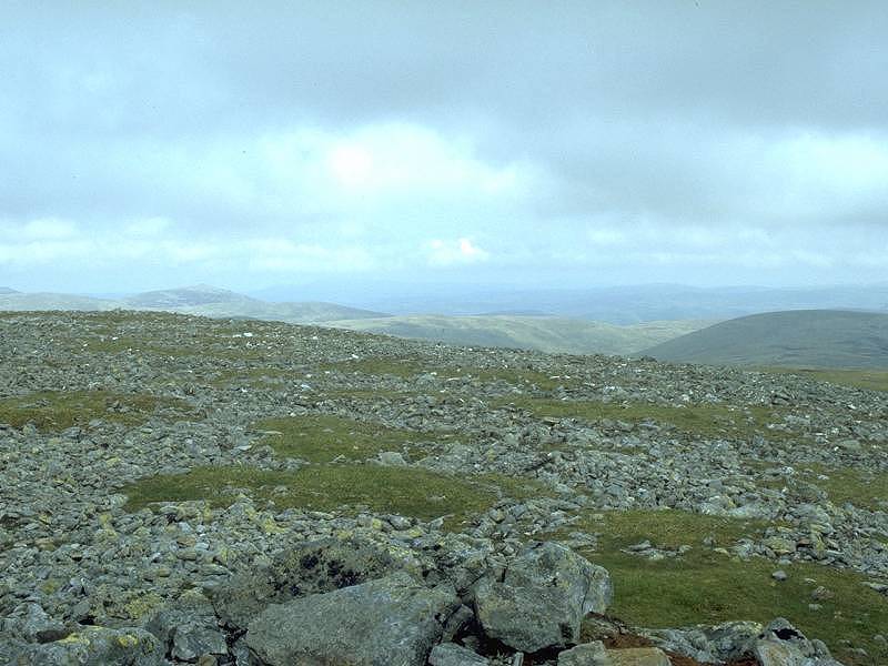
A mile of short turf and easy gradients is all that seperates me from Carn a Gheoid.
|
|
The path approaches the short climb up the summit dome.
|
|
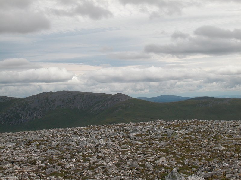
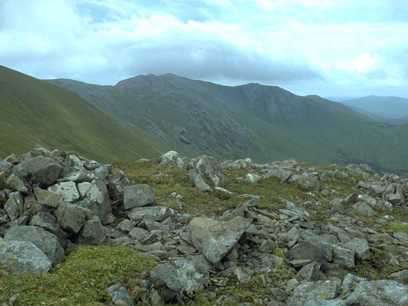
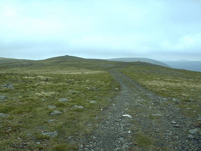
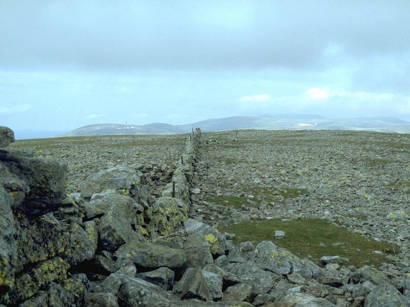
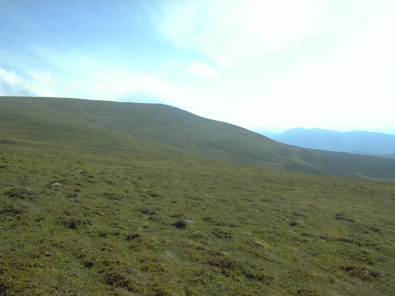
Looking back along the ridge towards the Cairnwell.
|
|
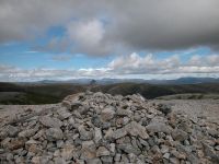
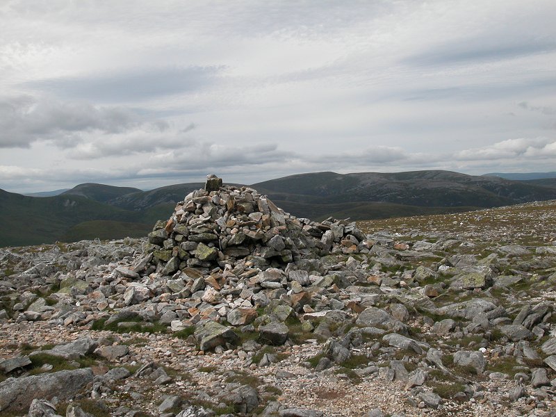
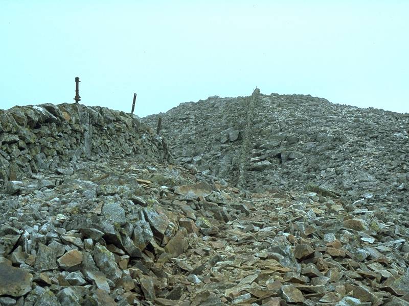
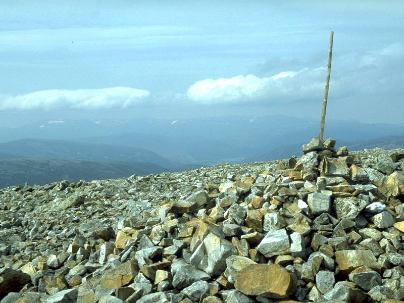
Just
65 minutes after leaving Carn Aosda I've reached the parent hill of the
Glenshee group; Carn a' Gheoid, 3199 ft above sea level and my 27th
Munro. One more and I'll have climbed one in ten of the buggers.
|
|
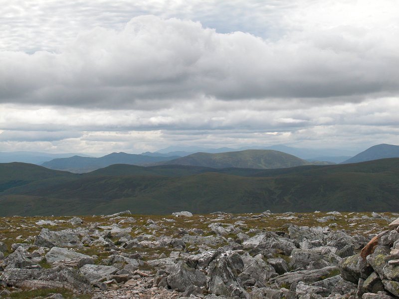
The
view just south of west from the summit. I'm not familiar with the area
so I can't identify any feature with accuracy, but the hills a few
miles away just left of centre are probably those of the Beinn a' Ghlo
massif. Glas Tulachean rises just to the right of centre and the hill
to the far right is probably Carn am Righ. Far away on the skyline to
the left of shot is the Ben Lawers group.
|
|
The
view to the west-southwest. The Ben Lawers mountains form the skyline
in the centre of shot. It's difficult to identify much else in this
direction; the distinct hill abot seven or eight miles away would
appear to be the Corbett of Ben Vuirich, so one of the craggier hills
to the left and further away would be Ben Vrackie. The closer feature
is the southeast ridge of Glas Tulachean.
|
|
The panorama to the southwest, and the main feature here is the northeast face of Meall a' Choire Bhuidhe, beyond Glen Lochsie.
|
|
The
view south-southwest. The pimply hill to the right is Ben Earb, above
Glen Lochsie; to the left, and slightly nearer, is Ben Gulabin.
|
|
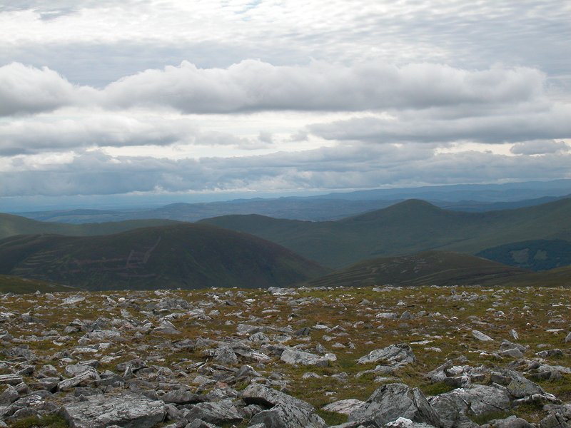
We're
looking slightly east of south, more or less in the direction of
Spittal of Glenshee. A track is clearly seen rising over Creagan
Bheithe, a south top of Carn a' Gheoid; it is nevertheless not marked
on any map currently in print. Beyond is Meall Uaine.
|
|
The view to the southest is dominated by Mount Blair.
|
|
Further
round again, the southern ridge of Creag Leacach starts to rise to the
left. Far away on the horizon tio the right are the twin Fife Hills,
East and West Lomond.
|
|
To the east-southeast the view is dominated by Creag Leacach.
|
|
The col between Creag Leacach and Glas Maol.
|
|
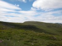
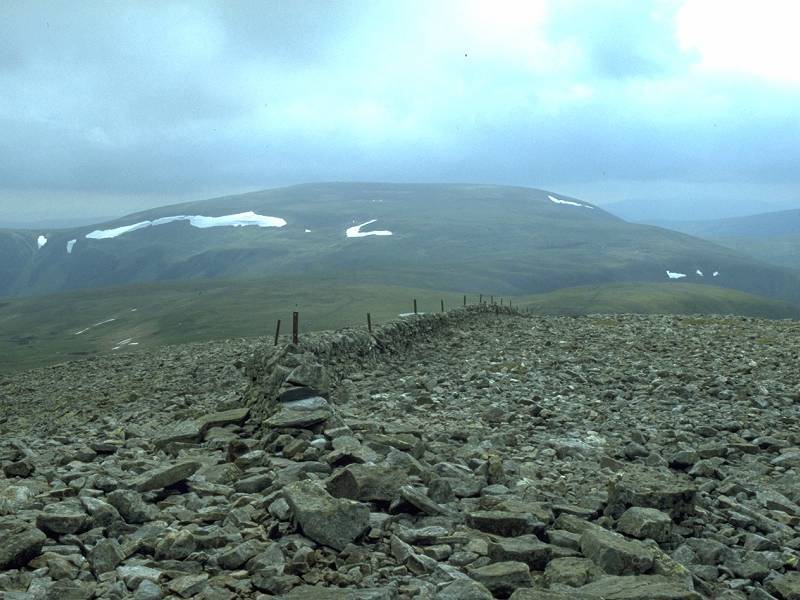
Almost due east, and Glas Maol fills the shot.
|
|
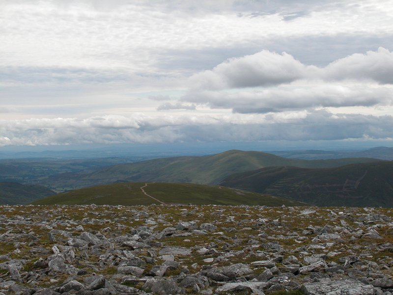
The
view to the east-northeast. The Cairnwell is obvious, about two miles
away, by the radio huts on its summit. The hill on the skyline is Carn
of Claise.
|
|
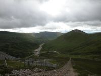
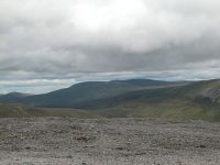
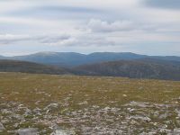
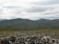
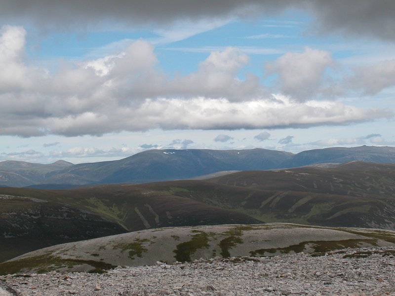
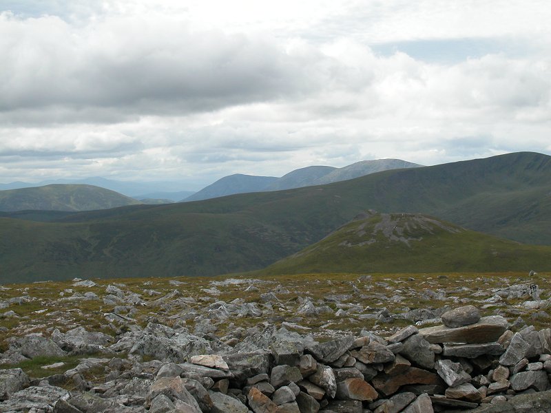
Futher
to the northeast is the terrain I'd just covered to get here, and Carn
Aosda is seen to the left (obvious from the vehicle tracks and screes).
The pinkish screes just right of centre and about five miles away
belong to Cairn an Tuirc; the highest point on the skyline is
Lochnagar, roughly ten miles away.
|
|
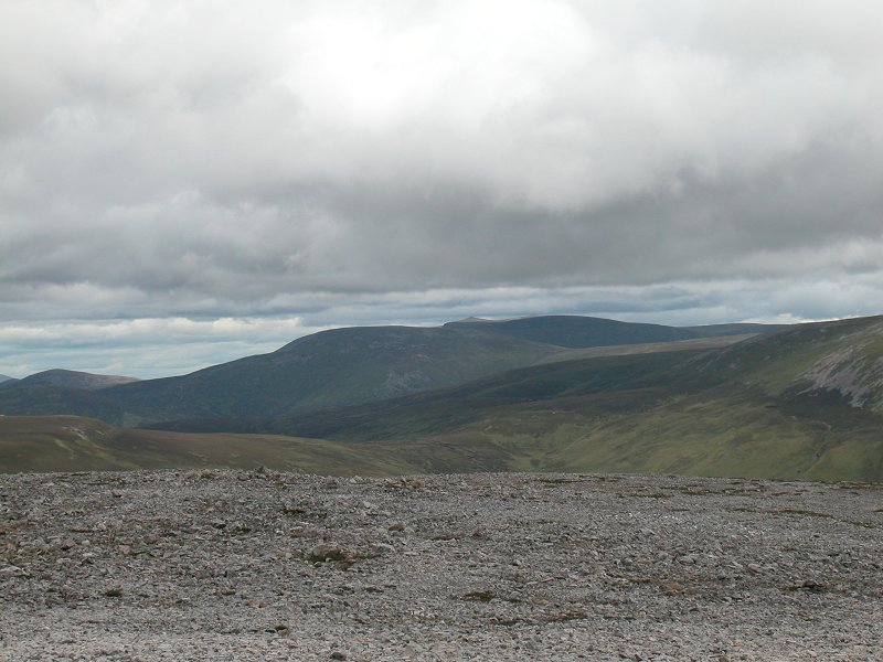
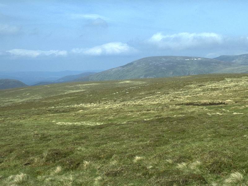
To the northeast is Carn Aosda and its northern hinterland just beyond Loch Vrotachan. I can't identify the far distant hills tjough one of them might well be Geallaig, north of Ballater.
|
|
The view north-northeast down Glen Clunie towards Braemar.
|
|
To
the north, Morrone stands nearby over to the right; on the skyline are
Beinn a' Bhuiridh to the left and Ben Avon to the right, divided by the
high col known as the Sneck.
|
|
The central Cairngorms, seen to the north-northwest.
|
|
.Northwest
to the Cairngorms. The highest summit, just right of centre, is Ben
Macdui. Cairn Toul and Braeriach rise to the left. The hill to the far
left is probably Beinn Bhrotain.
|
|
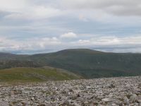
The remote, unfrequented country to the northwest is dominated by the Munro of An Socach.
|

|
Carn am Righ, Beinn Iutharn Mor and Beinn Iutharn Beag, seen to the west-northwest; the remotest hills in the Mounth.
|
|
To the west we see Glas Tulachean and Carn am Righ.
|
|
Back where the panorama started, just south of west; Glas Tulachean, with the Beinn a' Ghlo hills beyond.
It was at this point that my camera decided to give up the ghost. It
had been playing up for several weeks, losing its settings, forgetting
the time and date, getting itself into strange modes. Now it really
went into a sulk, refusing to retract the lens, flashing up error
messages and switching itself off. Ten weeks on, as I write this, its
condition is stil a mystery; I felt inclined to blame the CMOS battery
that must surely reside inside it somewhere but the manual makes
absolutely no mention of such a device. I have given up on it and
bought a replacement.
More immediately, however, I had my lunch here (during which I was
joined by two lads who had come over from An Socach) and then walked
back to the east and ascended the Cairnwell. I had problems descending
back to the road from here; it's pathless and steep and I had to go
almost all the way back round to Carn Aosda. Even so I found
myself wallowing through pathless heather to get back to the ski centre
and it wasn't a pleasant experience. As a plus, however, the sky
cleared steadily and I ended the walk in glorious sunshine. The return
bus to Ballater was smack on time.
|


