 |
I've taken the 9.30 bus up to
Glenshee, one
of Scotland's four skiing centres, It's eight miles south of Braemar on
the main A93 Perth road. The road climbs to a height of nearly 2000ft,
and is the highest classified motor road in Britain. On one side is the
Cairnwell group, three Munros said to be the most accessible in
Scotland.
On the other side, the east side, is Glas Maol and its outliers.
According
to the guidebooks it should be possible to pick off at least four, and
possibly six, Munros in one outing. Nothing ventured...
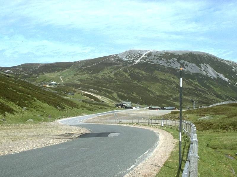
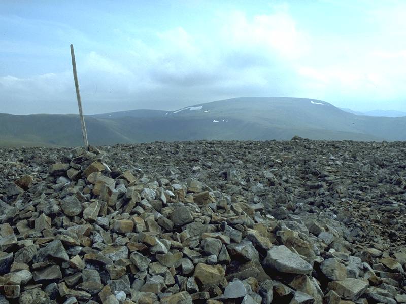
Pictured here is the highest point of the Glenshee road with Carn Aosda behind. The posts are snow markers. |
 |
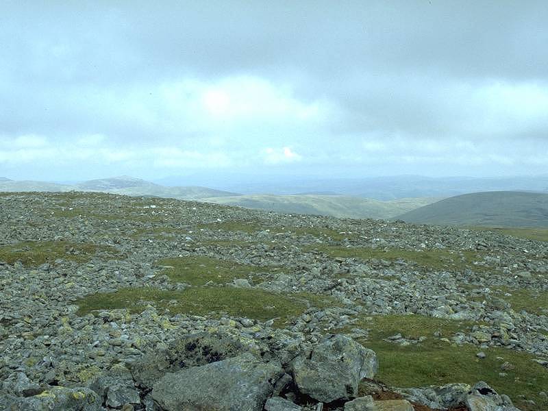
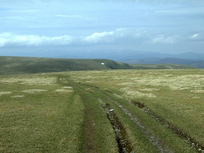
The path to Glas Maol starts from the southeast corner of a large gravel carpark and rises up the unappetising slopes of mat grass |
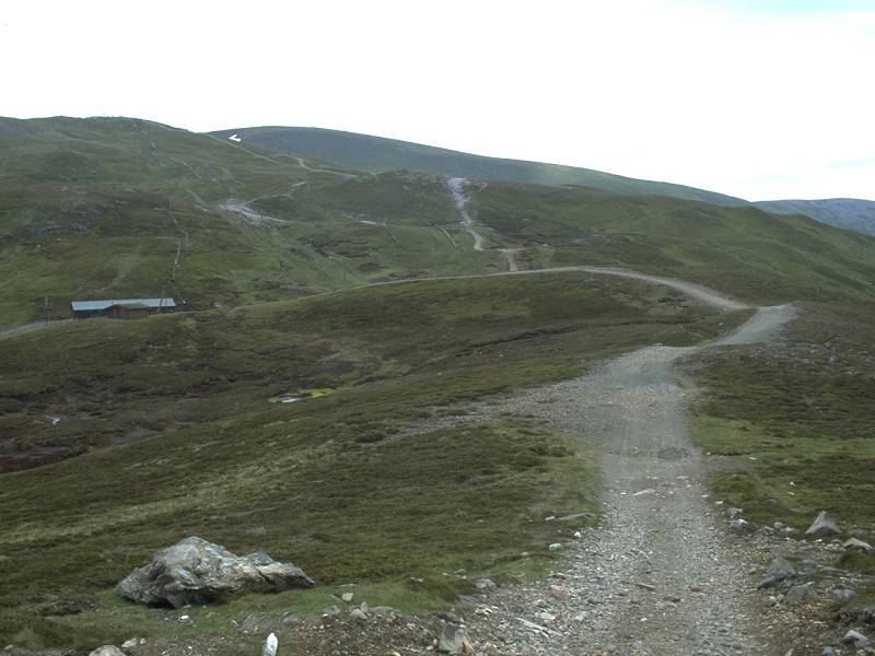 |
The path rises to the top of a minor ridge then descends into a hollow populated with ski-centre outbuildings. These apparently thrive during the winter, but during the close season they look like abandoned expedition bases in the Arctic tundra. |
 |
The peaks of the eastern Cairngorms come into view to the north as the path climbs. |
 |
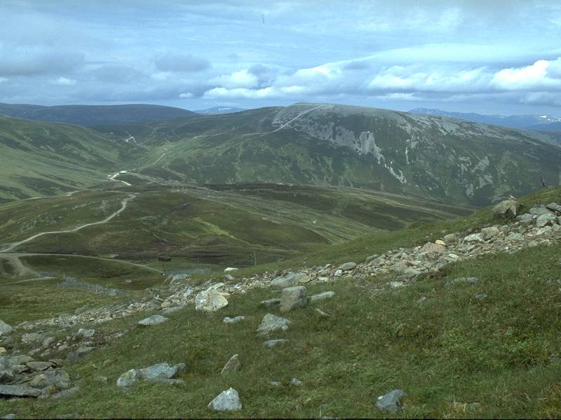
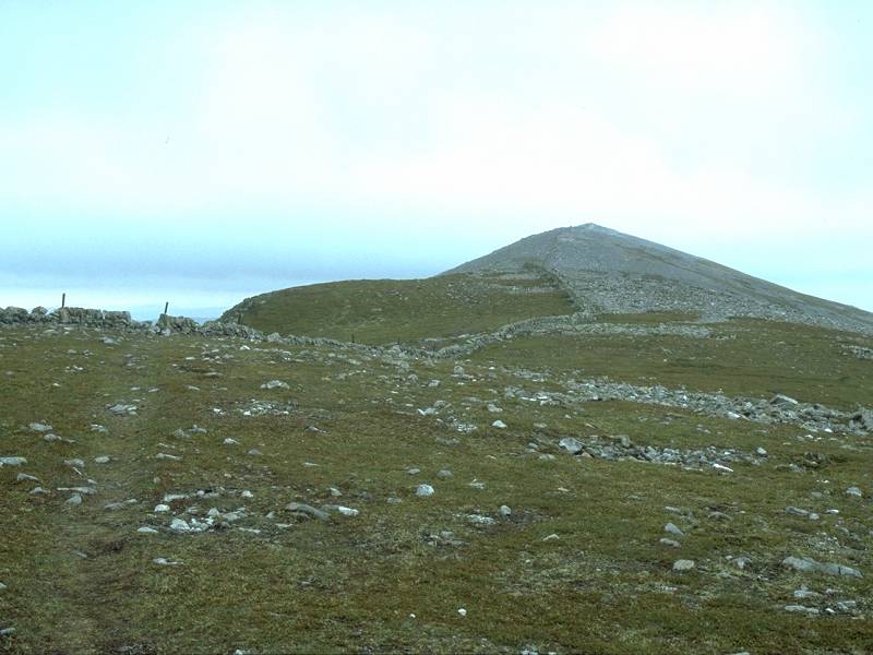
Thanks to the elevation of the road there is a climb of only around 1500ft to Glas Maol, which puts it in the same category as an average Lakeland mountain ascent in terms of effort involved. Already half way up here, looking back at the Glenshee development with the Cairnwell (3061ft) behind. |
 |
Carn Aosda, with the central Cairngorms behind, from the ascent path to Glas Maol. |
 |
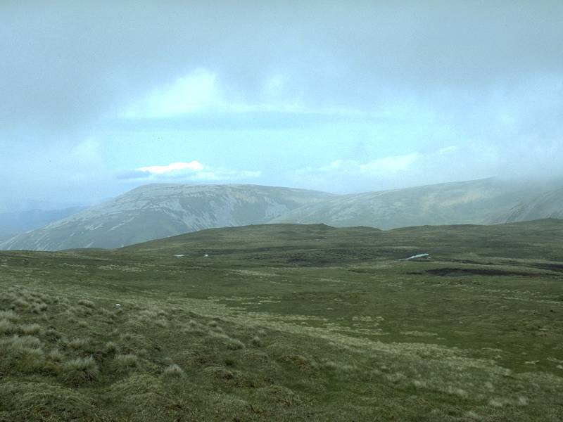
That's Creag Leacach in view, a Munro of 3238ft and Glas Maol's neighbour to the south. Despite the forecast of a bright day the clouds are already building to the south and east. |
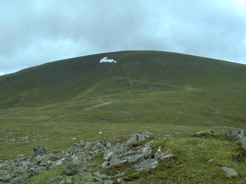 |
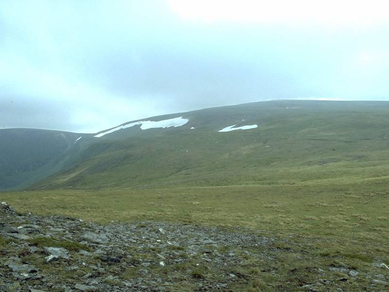
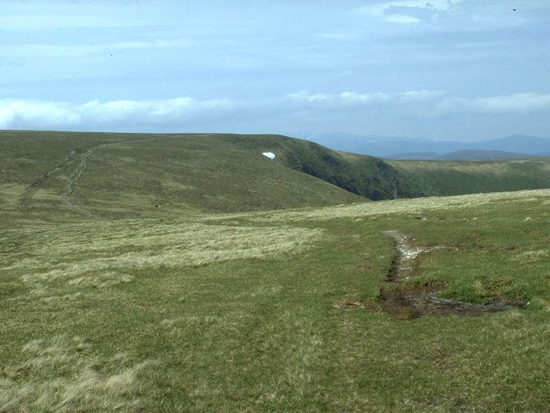
The ski developments are left behind and the bare summit of Glas Maol (3504ft) looms ahead. The name means, "bare grey-green hill". The patches of snow lingering into June show how harsh the climate is here on the high tops. |
 |
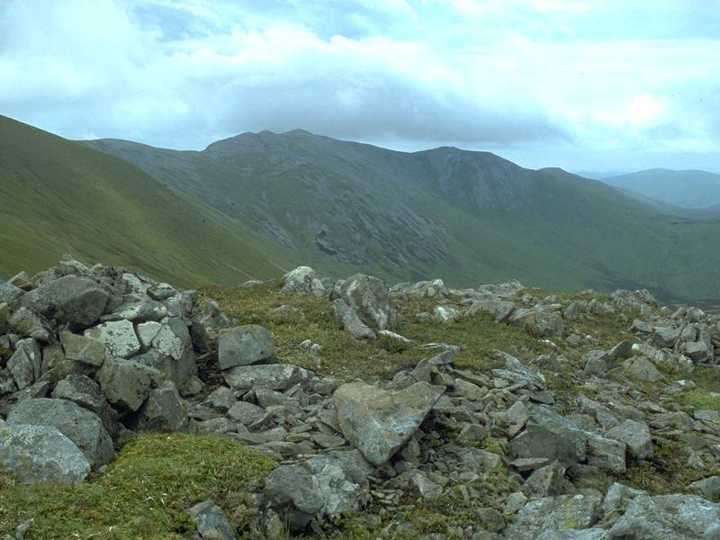
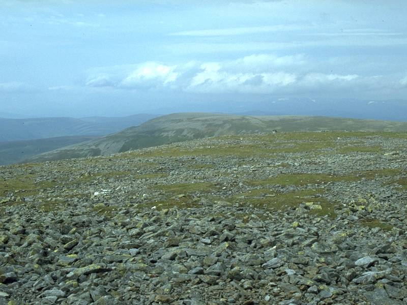
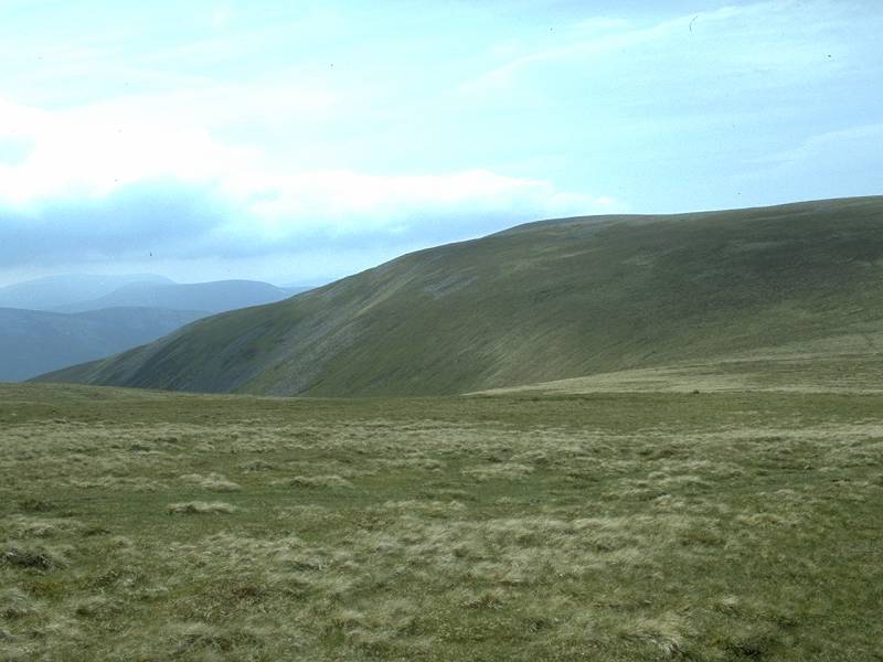
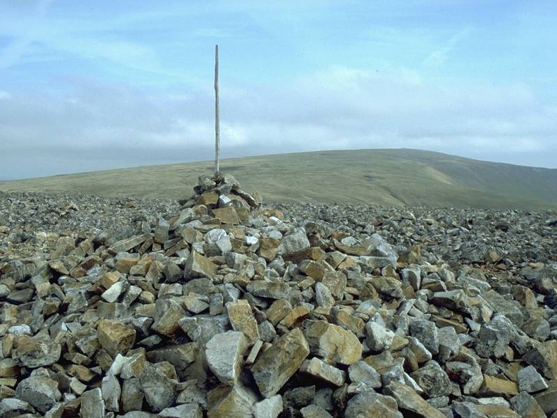
Carn of Claise, Glas Maol's northern neighbour, seen across the intervening moorland. |
 |
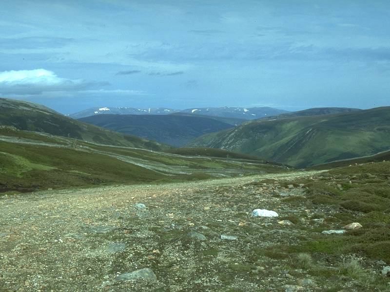
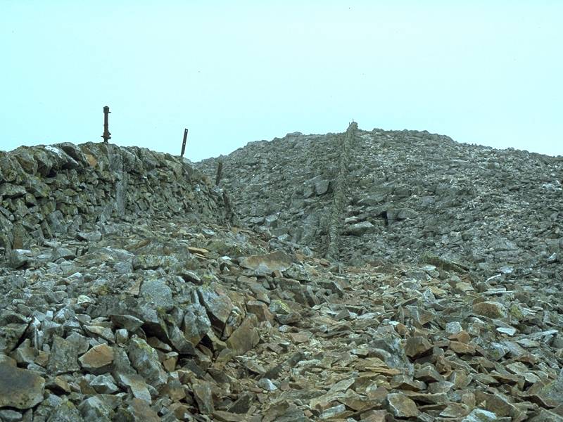
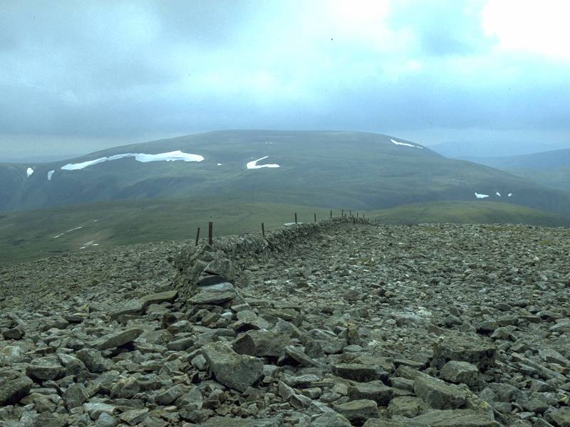
From the moorland shelf seen in the image above a clear path lead southeastwards at an easy gradient and progress is swift. However, it soon became apparent that it wasn't going to ascend Glas Maol but was heading for the col between it and Creag Leacach to the south. Having got here I reckoned I would go on to climb Leacach first. The intervening ridge is unusual in the Highlands in carrying a drystone wall and the remains of a fence. |
 |
The Creag Leacach ridge is characterized by coarse, angular scree and the ground soon becomes rocky. |
 |
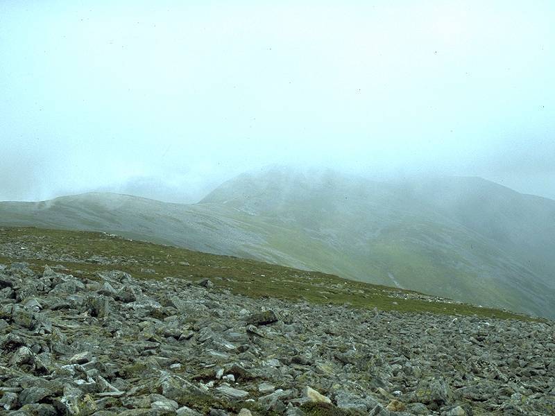
The summit ridge of Creag Leacach is a boulder field more reminiscent of the top of Ben Nevis. Cloud is descending, and the summit of Glas Maol behind me is already in mist. So much for the weather forecast. |
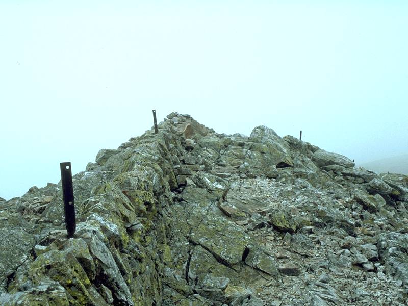 |
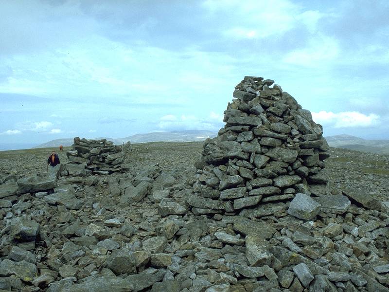
The summit of Creag Leacach, 3238ft, Scotland's 159th highest mountain and my eleventh Munro. |
 |
The cloud arrives just in time to
hide the
view. I'm not sure if this is the ridge south of the summit or the view
northwards to Glas Maol.
Maol disappeared from view even as I began to retrace my steps along the ridge, and I resigned myself to yet another aborted Scottish walk. But I reckoned that, while I was up here, I might as well ascend Maol at least. The ridge was broad and flat, and all I had to do was keep walking uphill until I got to the summit. |
 |
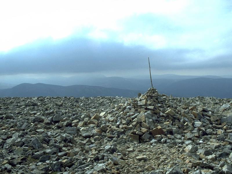
The summit of Glas Maol, Scotland's
69th
highest mountain at 3540ft (or 1068 meters). The boundaries of
Perthshire,
Angus and Aberdeenshire meet here.
My twelfth Munro, and a great pity that all around is eerie silence and mist. There is a scattering of people around and one of them asks me if I've seen any dotterel. I reply truthfully that I wouldn't recognize a dotterel if one fell on me. |
 |
A debate. Abandon the walk or try for a third summit? I still can't see anything but according to the map there is a clear track most of the way to Carn of Claise. It's just a matter of walking east or northeast off the summit of Glas Maol for a couple of hundred meters. I fish out the compass and wander into the misty silence. Two minutes later I find the path, one of the old drove roads that crosses the Mounth plateau, and known as the Monega pass. There's a hint of the cloud lifting again. |
 |
I'm glad I decided to press on, for the path is easy (if a little wet in places) and tantalising glimpses of distant summits appear every few minutes as the cloudbase comes and goes. The Monega pass forks, and I take the right turn across a plateau-like ridge to the east. |
 |
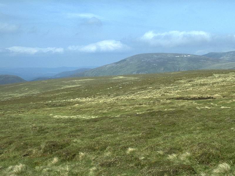
The path reaches the environs of Carn of Claise. A further summit, that of Cairn an Tuirc, looms briefly out of the cloudbase. |
 |
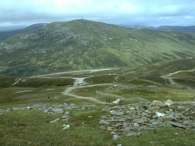
Suddenly, a more general clearance. Glas Maol reappears in the scene behind to the southwest, the view enlivened only by the crags of Little Glas Maol to the left. |
 |
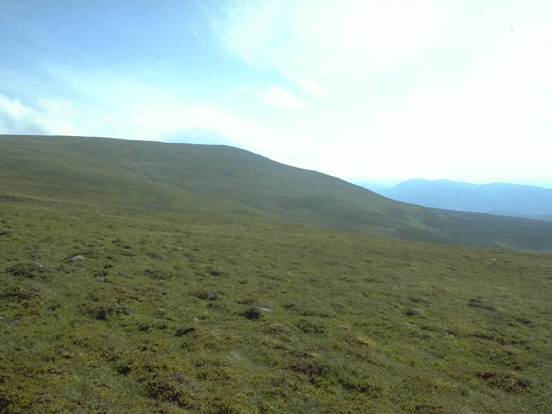
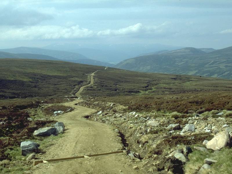
The Monega pass heads on across the plateau. This is more like the Pennine Way than the Highlands and the walking is swift and easy. |
 |
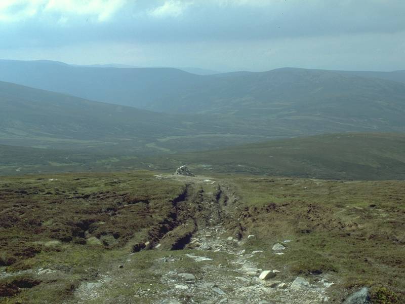
Two and a half kilometers northeast of Glas Maol the Monega pass skirts Carn of Claise just a hundred meters to the east. It's a simple, though momentarily steep, pull up a brief rocky slope to the summit. Munro number thirteen, and the first time I've ever climbed three in one outing. Carn of Claise is an anglicised form of the original Gaelic name meaning "hill of the hollow". Its elevation is 3491ft, Scotland's 71st highest summit. |
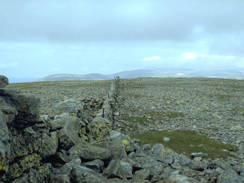 |
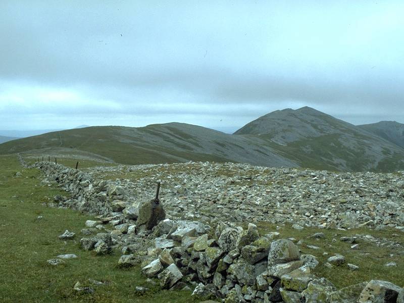
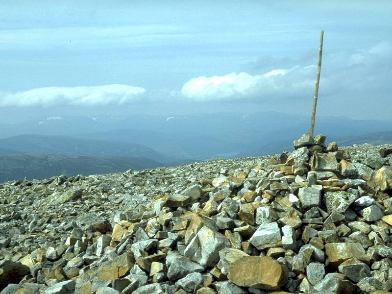
A stone wall heading north northeast from Carn of Claise. I sat and had lunch here, during which time two more groups of hikers visited the summit from the north. |
 |
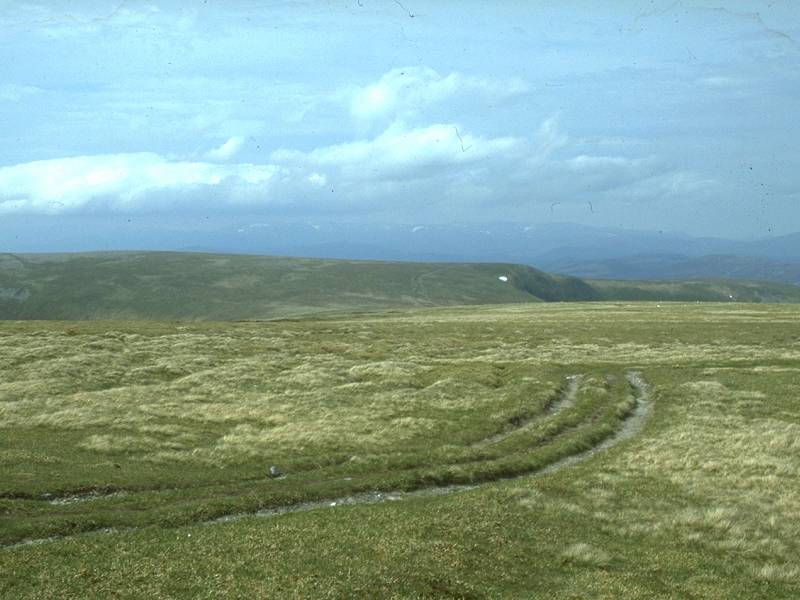
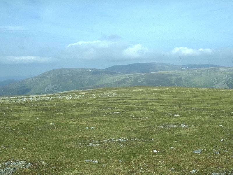
The plateau stretches out to the
east, and
is so uniform that it's difficult to put a name to any other feature
even
with a map and compass to hand. Somewhere out there, across an area of
bog known as Ca Whims, are Tom Buidhe and Tolmount, mere swellings in
the
plateau and among Scotland's least spectacular mountains.
I decided that if I couldn't even make out which of the many summits in view were Tom Buidhe and Tolmount, it probably wasn't a good idea to attempt to climb them. I decided that Cairn an Tuirc, to the northwest, was going to be my fourth and last summit of the day. |
 |
The drystone wall peters out after a couple of hundred yards. Glas Maol overlooks the scene. |
 |
Both the OS and Harvey's maps insist that there is a discontinuity in the path but it is apparent enough here, and is easily picked up. I had a sudden inspiration. Where did this path end up? A look at the map revealed that it was to descend into Glen Callater just two miles from Braemar, which looked like a far more agreeable alternative than the guidebook's suggested descent to the road from Cairn an Tuirc. |
 |
The Monega pass heading northwards and approaching the lip of the Coire Loch Kander. |
 |
The Coire Loch Kander looks quite spectacular on the map, a ring of craggy walls breaking the plateau and descending steeply to a little blue lochan. A shame, then, that it's missed out entirely by the excursion to Cairn an Tuirc. |
 |
A brief glimpse of what I might have seen... |
 |
...before turning left for the fourth Munro of the day. There's a reascent of only 200ft from Carn of Claise to Cairn an Tuirc and its a simple diversion off the path over short, firm turf. |
 |
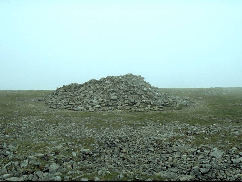
The summit ridge itself is abysmally stony but it wasn't long before I hit Cairn an Tuirc's topmost point, this cairn of 3343ft elevation at the western end of the ridge. This is Scotland's 113rd highest point. |
 |
The Glenshee hills backlit by the afternoon sun. |
 |
Glas Maol from the summit of Cairn an Tuirc. The name means "hill of the boar". |
 |
Carn of Claise from the summit. |
 |
...and northwards to Beinn a Bhuiridh in the Cairngorms. |
 |
Time to leave. I walked back along the stony ridge to the eastern top then dropped diagonally off the ridge to the north. It's firm, easy turf here and it should be a simple matter of curving around the lip of the mountain's northern flank to pick up the Monega Pass again. |
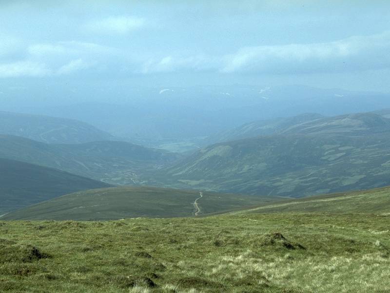 |
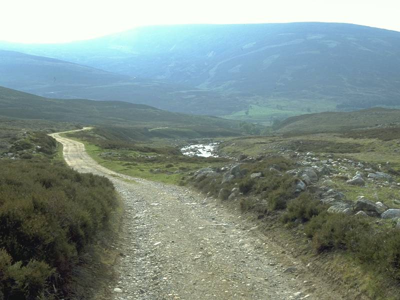
I've not hit the pass yet but I can see its course lower down, with Glen Callater and Braemar beyond. |
 |
Carn an t-Sagairt Mor, a Munro on the far side of Glen Callater and an outlier of Lochnagar. |
 |
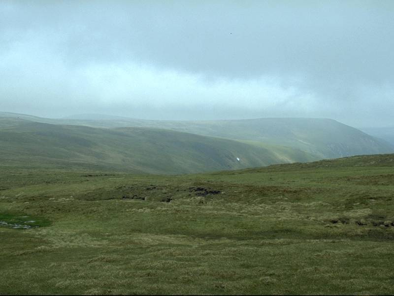
The view back to Cairn an Tuirc as I continue to contour round the slope. |
 |
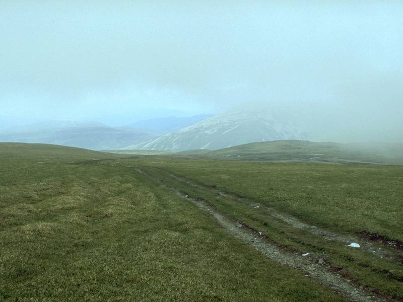
The Monega Pass is reached at last. An easy walk now all the way back to Braemar, five miles away. |
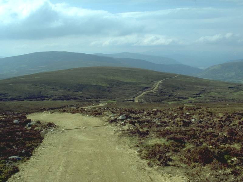 |
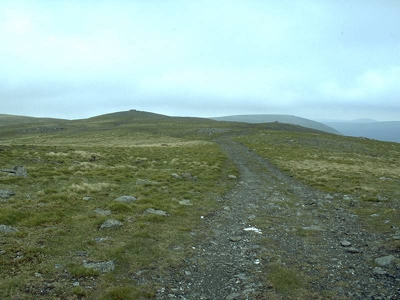
After a small area of confusion the track gains a "made" surface that looks as though it will become a forest ride in a few years' time. |
 |
There's no danger of losing this path, Many would argue that it is visually intrusive in this landscape. You certainly don't have a feeling of wilderness here. |
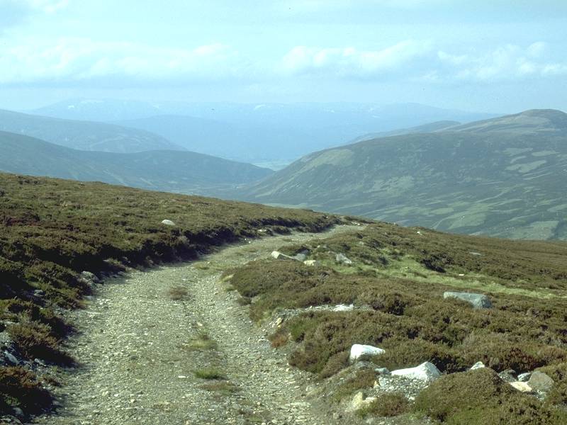 |
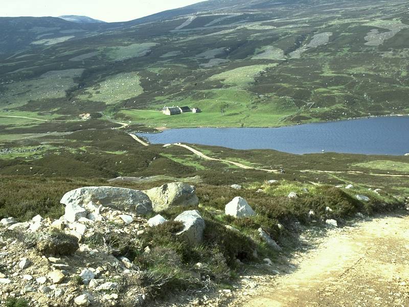
After a couple of miles the path reaches the lip of a steeper slope... |
 |
...revealing Loch Callater set below in the glen. |
 |
The path twists and bucks a little but the loch is soon reached. |
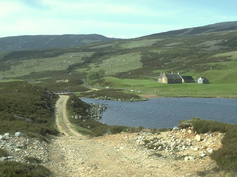 |
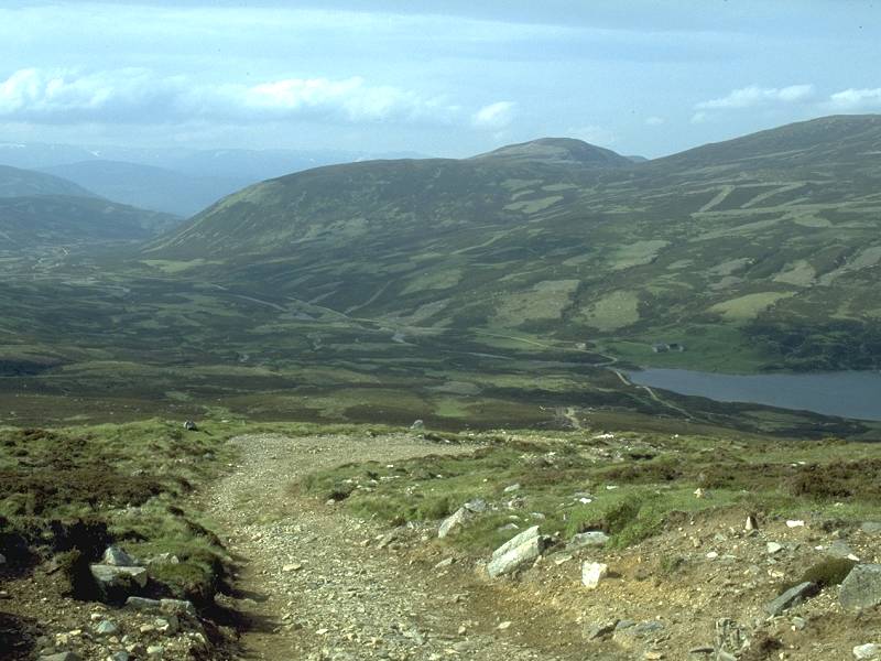
I neared Lochcallater Lodge. A path along the lochside leads up into the glen and provides an approach to Tolmount and the Lochnagar group. |
 |
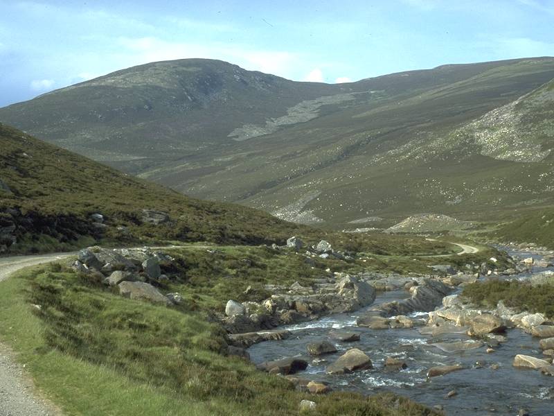
Loch Callater, with Carn Bannoch (another of the Lochnagar Munros) behind. |
 |
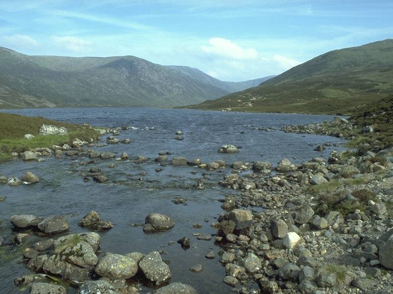
The Callater burn issuing from the loch. |
 |
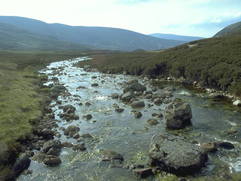
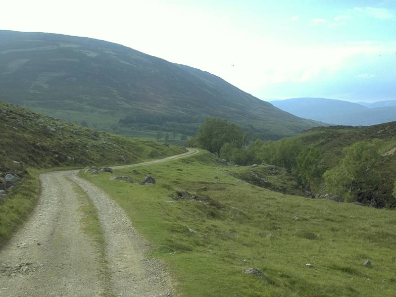
Lower Glen Callater provides a picturesque ending to the walk. |
 |
The glen turns a corner to look across to Morrone, which stands above Braemar. |
 |
The track approaches the first stand of trees... |
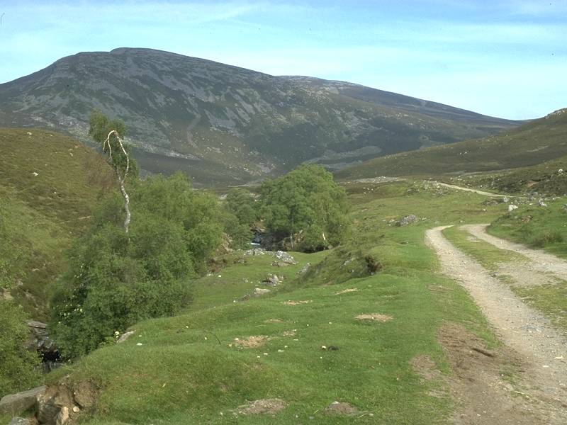 |
...which provide a nice afternoon picnic spot before the glen comes out onto the main road two miles short of Braemar. |
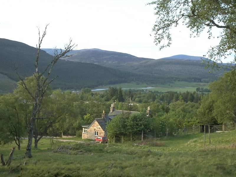 |
These two images don't really belong here, but what the heck... it's about nine in the evening after the Glas Maol walk and I've climbed to Woodhill, on the lower slopes of Morrone, southwest of Braemar. This is the view northeastwards towards Culardoch. |
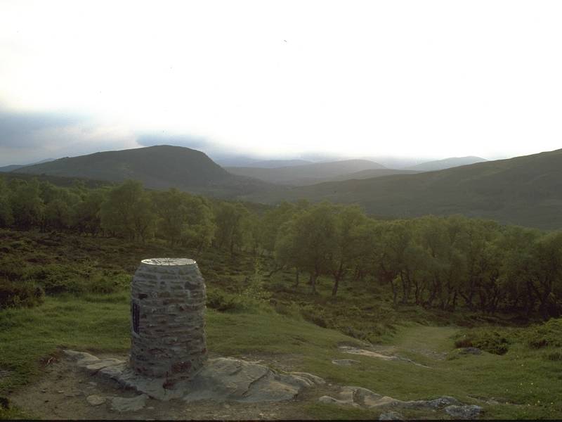 |
...and this is the view northwestwards into the evening sun. The cloud is descending again but according to the topograph in front the central Cairngorm peaks would normally be visible from here. Oh well, someday I'll find out. |