|
I've
never actually stopped off in Blair Atholl before and I found it to be
quite a lovely little place. Blair Castle, the home of the Duke of
Atholl, is the centrepiece of the village but I was headed for the
Bridge of Tilt just along the road. |

|
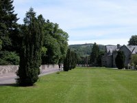
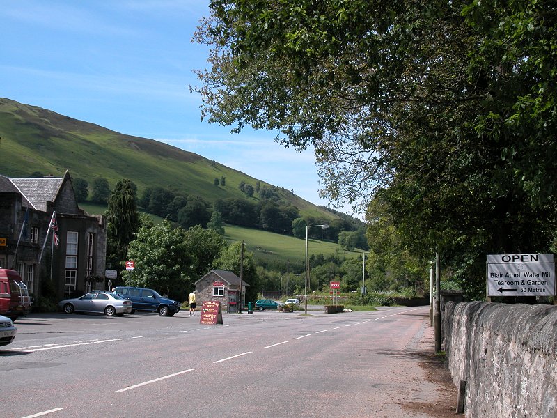
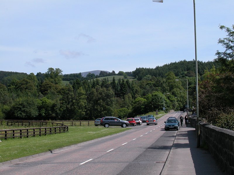
A
view of Blair Atholl’s main street
|

|
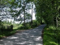
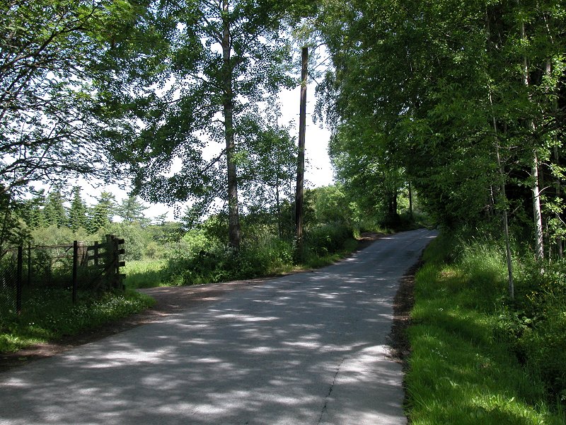
The
road down to the Bridge of Tilt, where I was due to begin my walk |
|
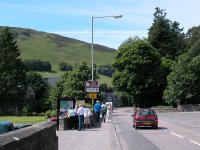
A
crowd of tourists, who had just spilled out the adjacent hotel, waiting for a
bus to Blair Castle – all of 400 metres away. |

|
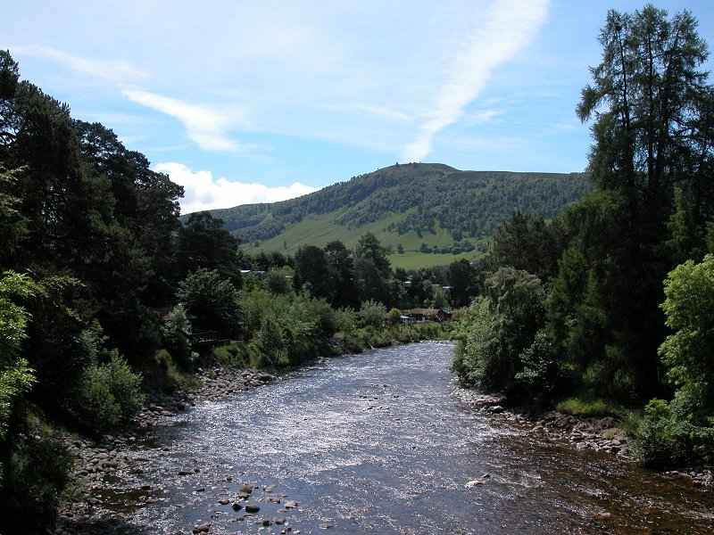
The
River Tilt from the road bridge |
|
I
turned left immediately beyond the road bridge and started along the road to
the village of Old Bridge of Tilt |
|
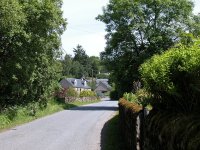
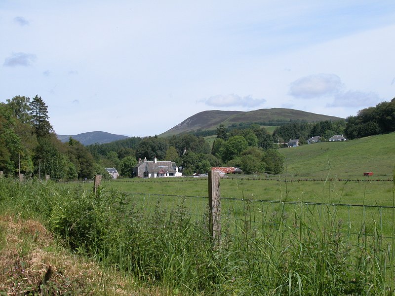
Arriving
at Old Bridge of Tilt |
|
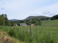
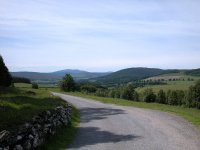
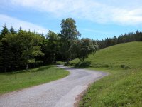
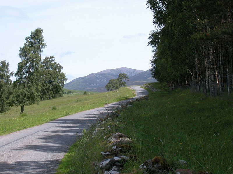
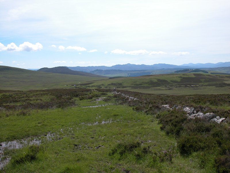
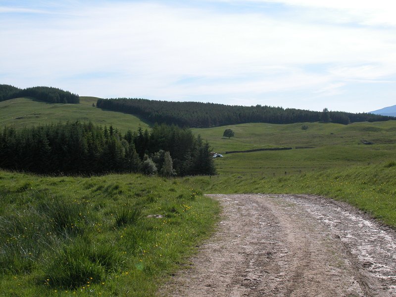
The
two mile road walk now ran along the south side of Glen Fender |
|
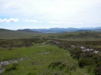
The
road walk was pleasant, through scenery of open pastures and clumps of woodland |

|
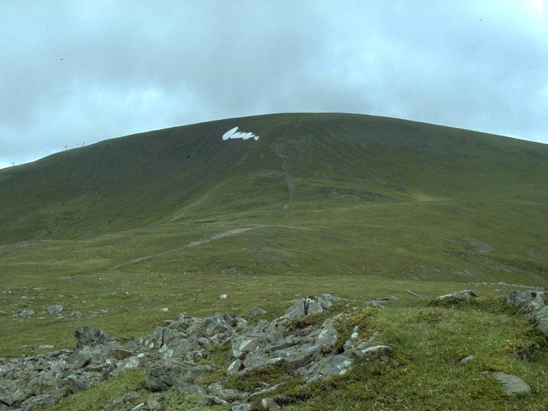
There’s
my first view of Braigh Choire Chruinn-bhagain |

|
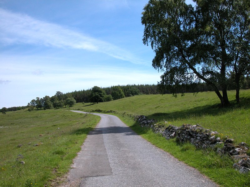
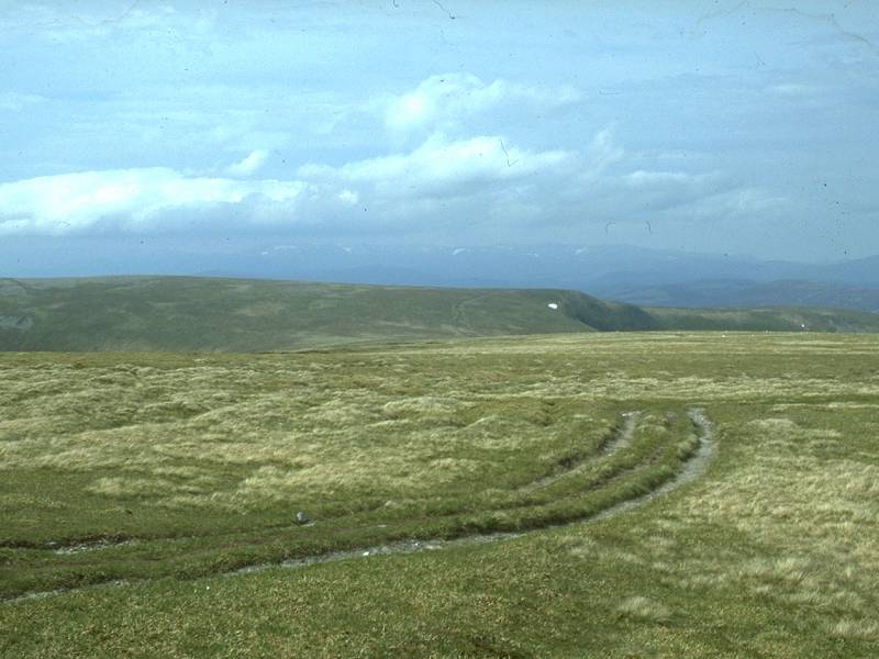
The
road continues along Glen Fender, heading towards the unseen Loch Moraig |
|
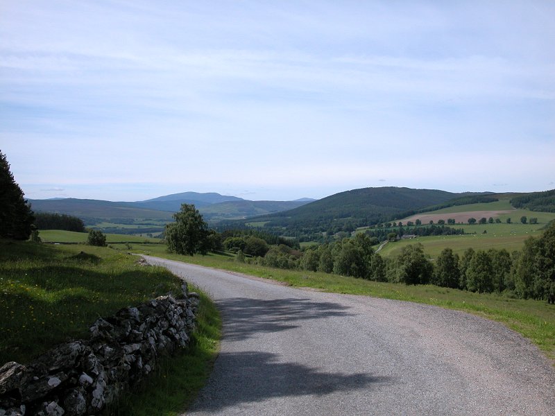
Looking
back along the road |
|
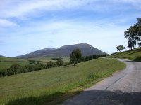
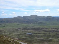
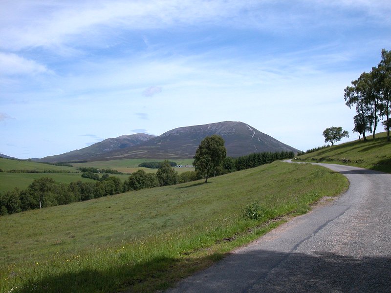
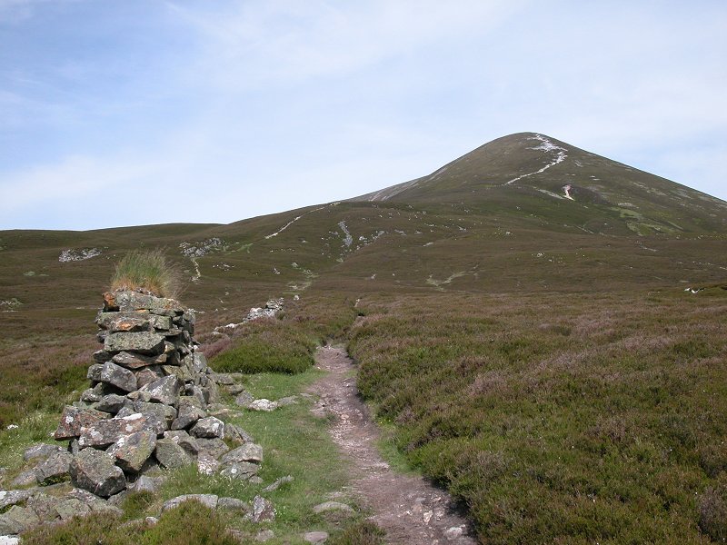
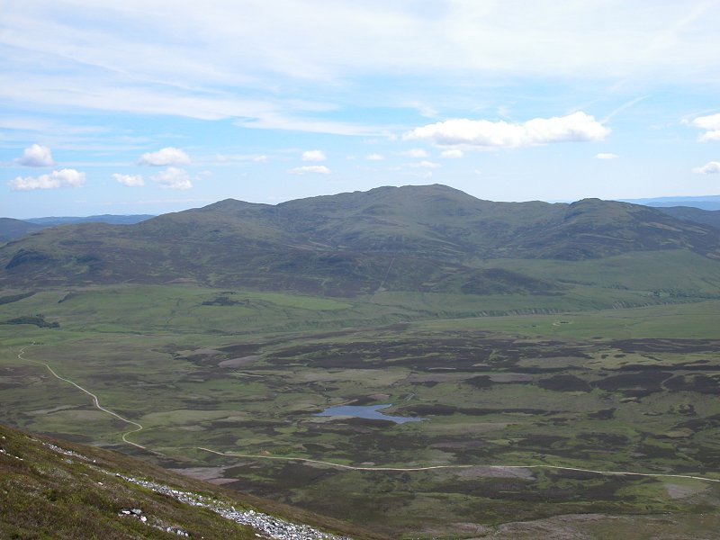
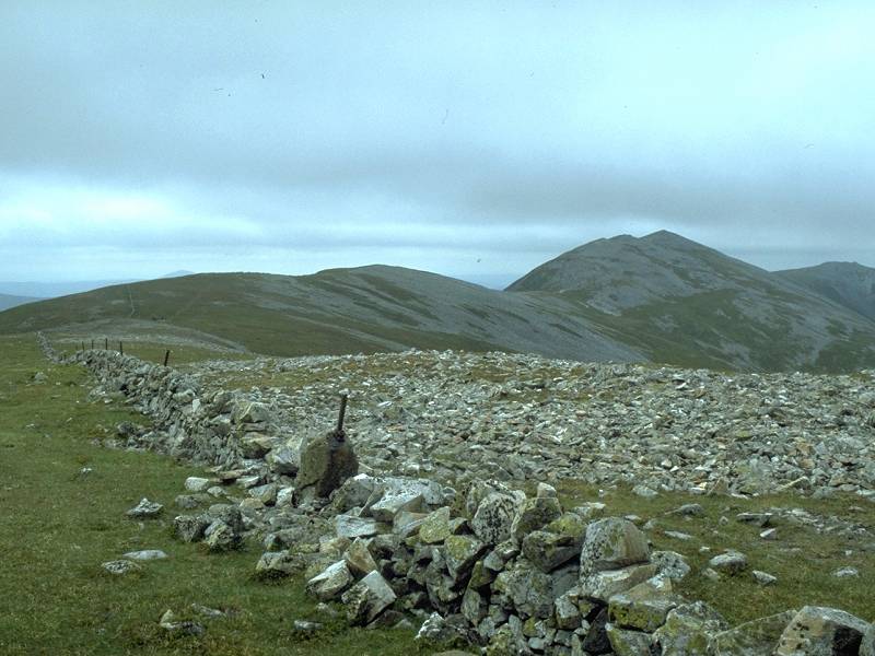
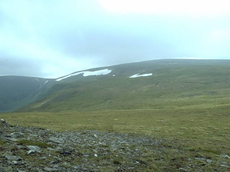
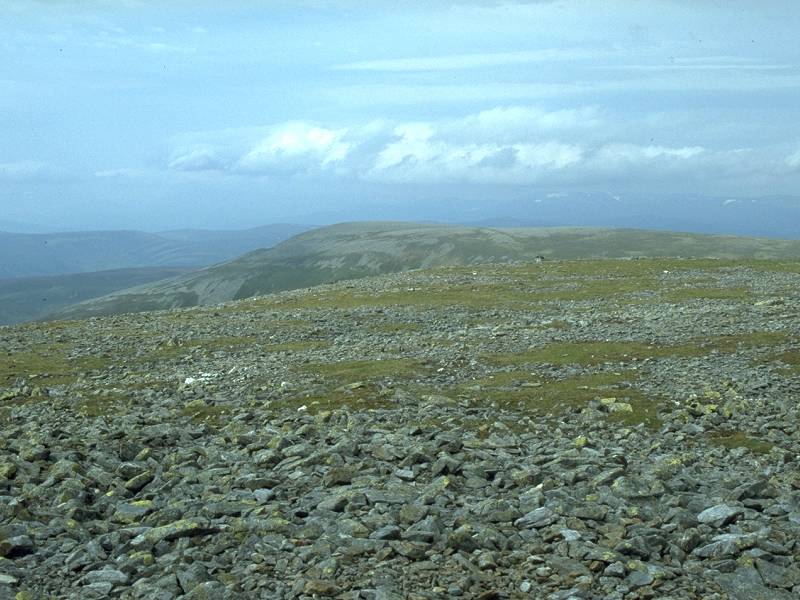
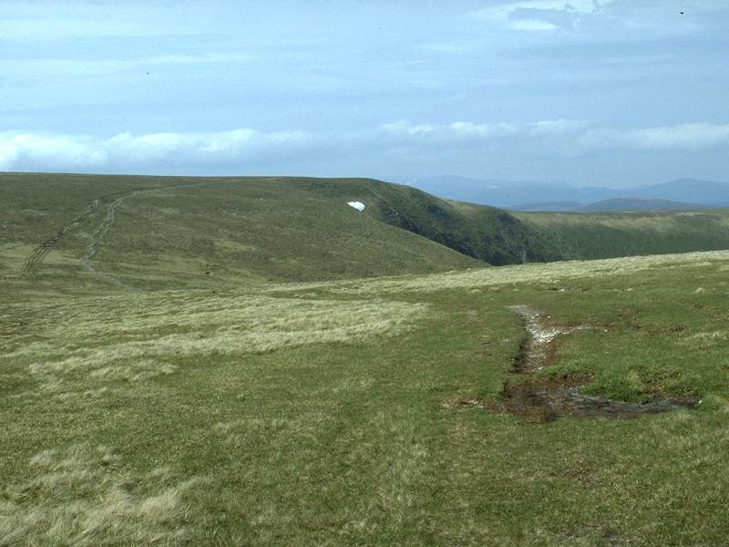
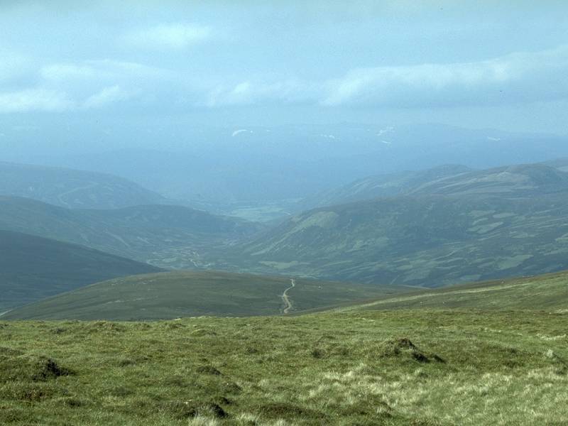
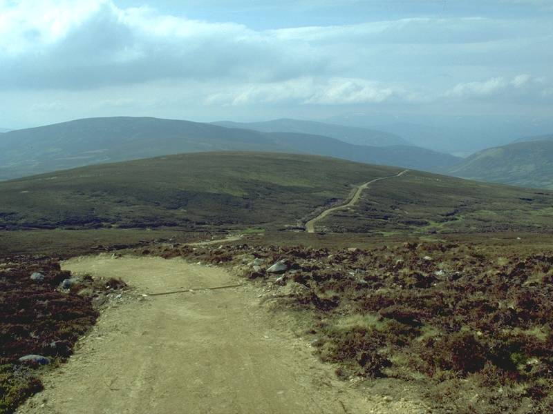
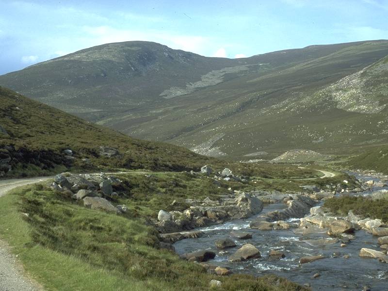
There
are my objectives for the day – Carn Liath (nearer, to the right) and Braigh
Choire Chruinn-bhagain (more distant, to the left). |
|
I
was beginning to approach the end of the road here.
|
|
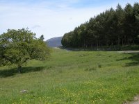
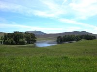
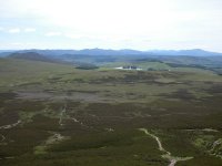
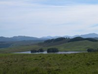
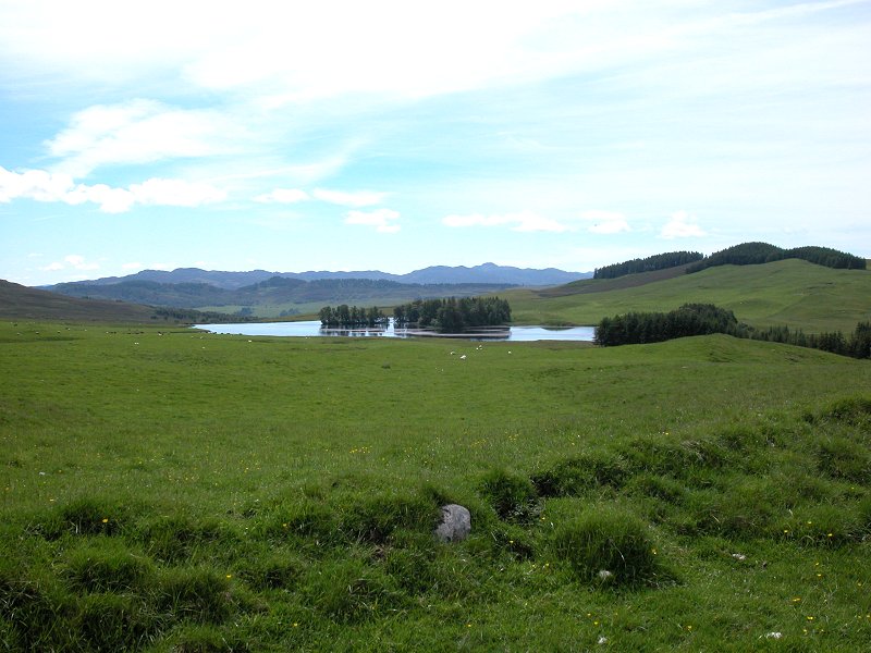
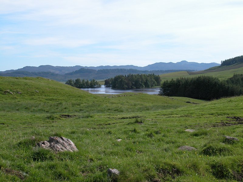
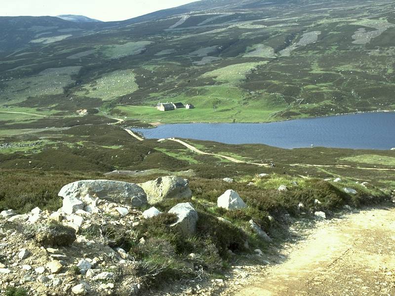
Loch
Moraig comes into view
|
|
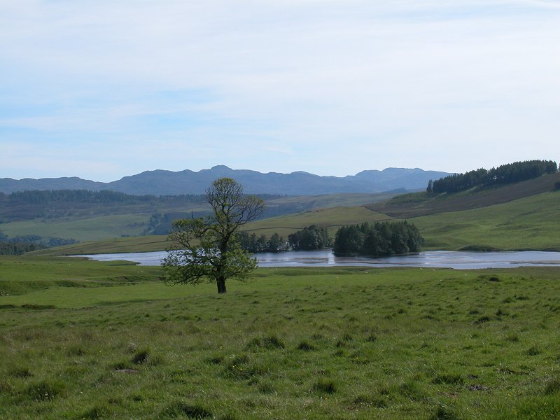
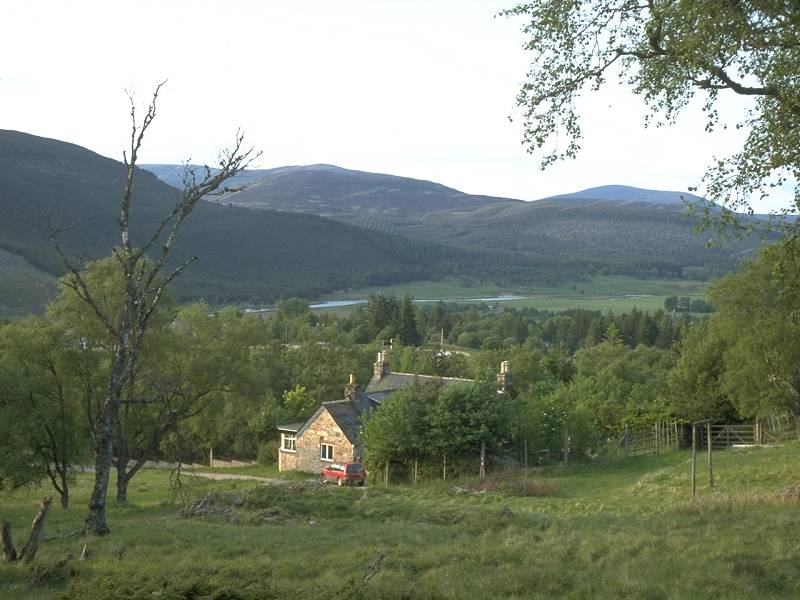
This
is an un-named lochan to the north of Loch Moraig, right next to the road |

|
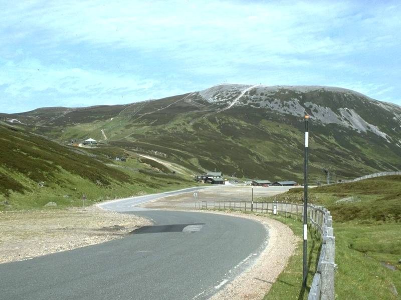
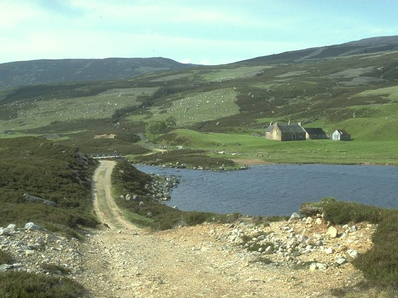
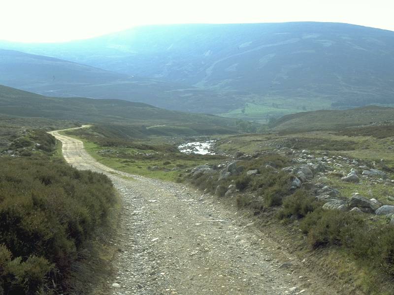
I’d
reached the end of the public road. Those with cars can save themselves an hour
by driving and parking up at Loch Moraig (seen here in retrospect). |
|
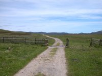
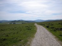
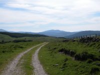
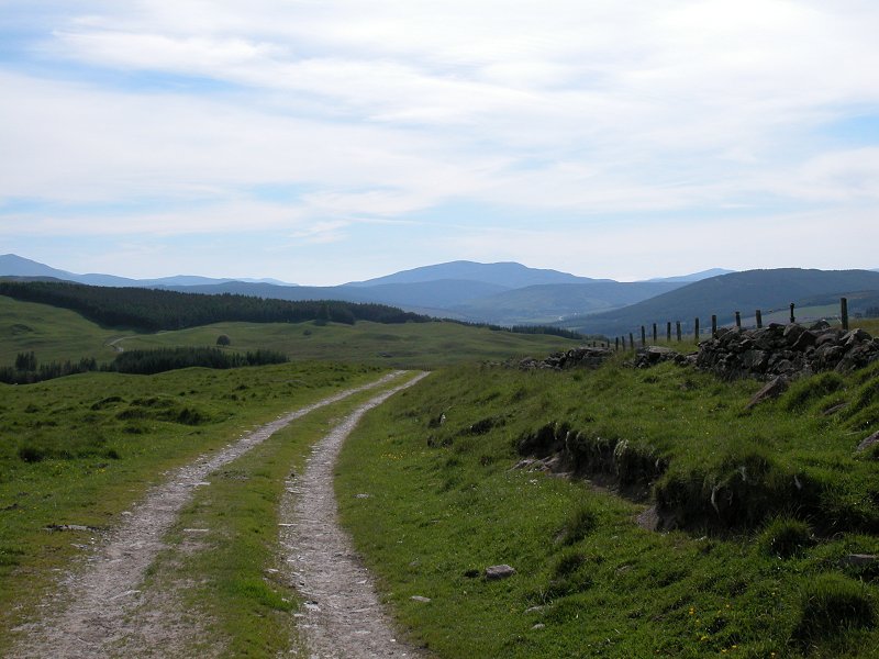
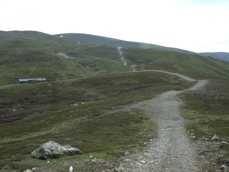
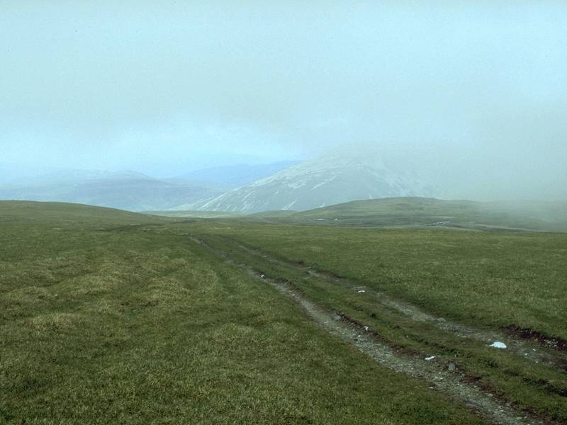
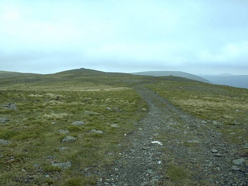
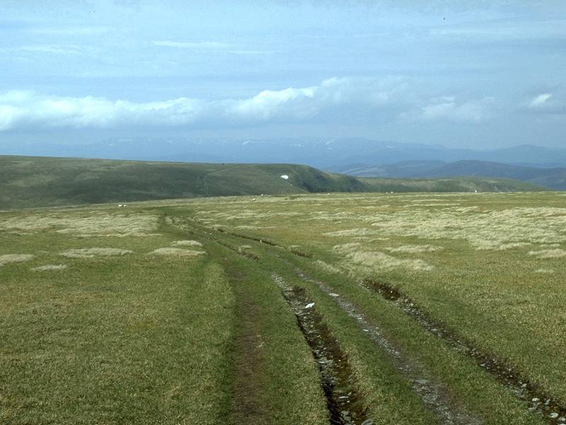
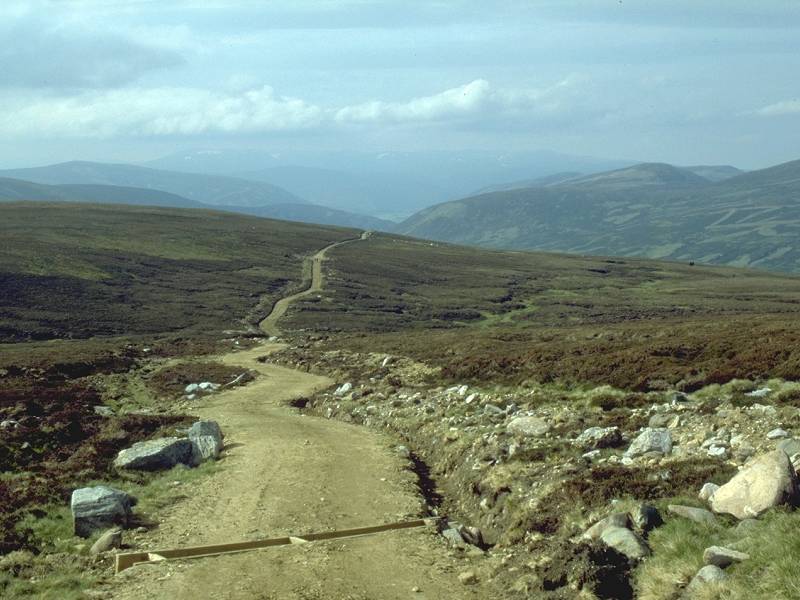
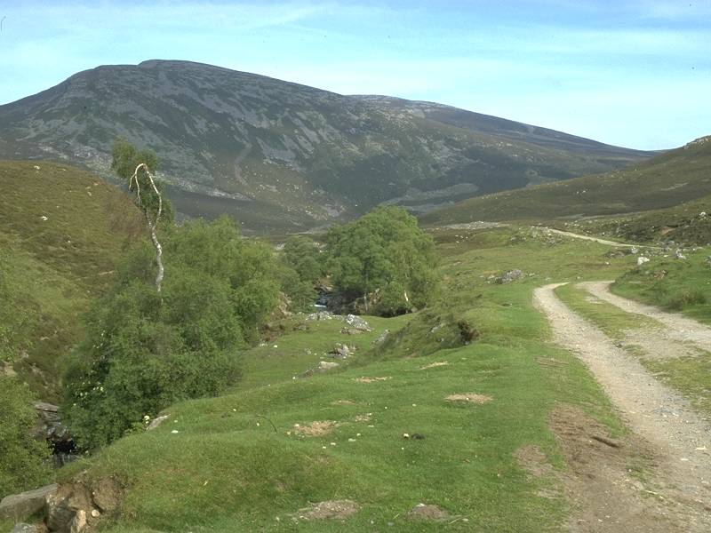
This
estate track runs out to the lonely house at Shinagag. The route to Carn Liath
follows it for a mile… |

|
…before
turning off left at a junction. |
|
The path now runs alongside an old stone wall. The terrain here is rather sloppy.
|
|
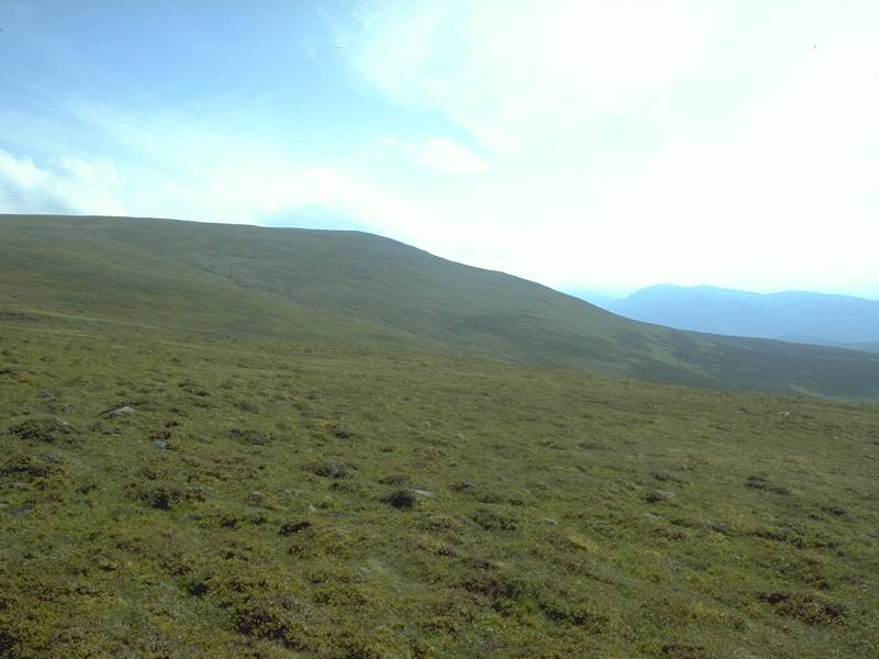
The path improves once it gets clear of the wall and starts to tackle the slopes of the mountain.
|

|
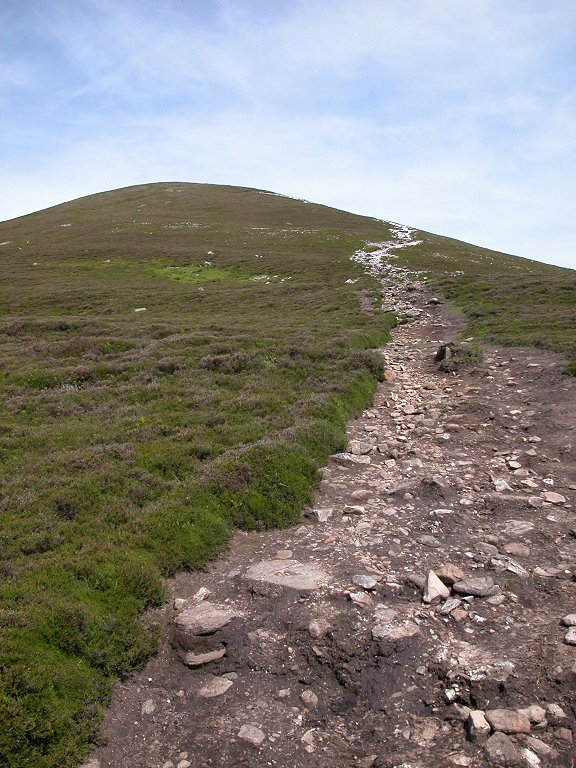
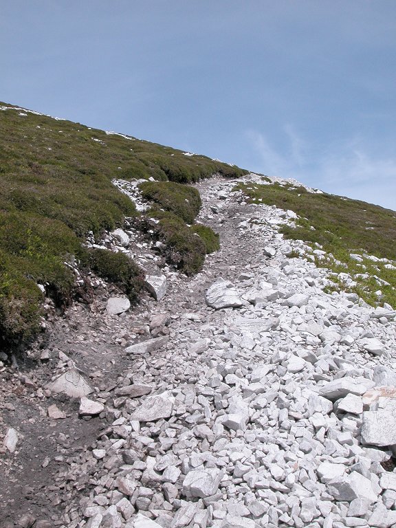
The ascent path runs straight up the southwestern shoulder of Carn Liath and is pretty steep in parts.
|

|
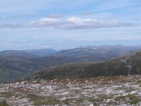
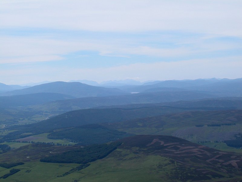
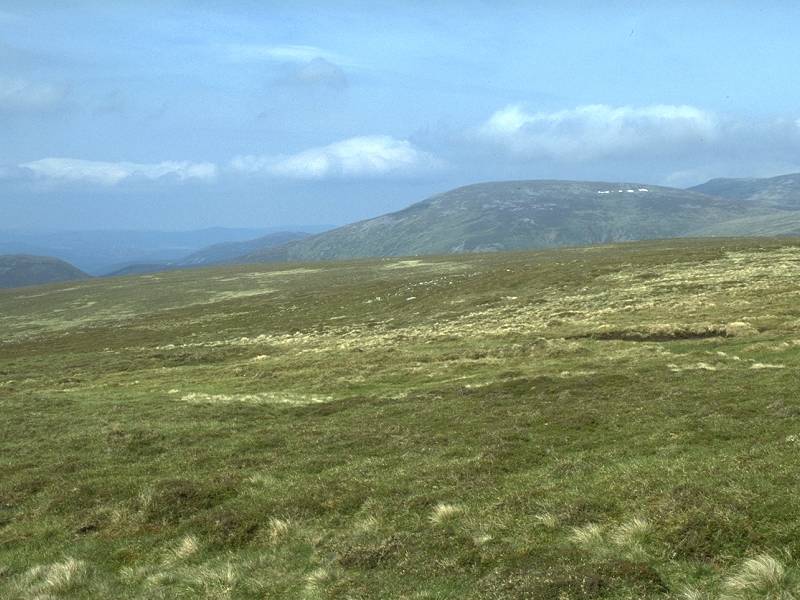
Already a view is opening up towards the Ben Lawers group and Schiehallion, to the west
|

|
This picture gives some idea of the steepness of the path. The gradient is unremitting from here on, all the way to the top
|

|
You can't exacty miss the path though. Notice how it zigzags to ease the gradient.
|

|
I found that I needed to take frequent rest stops
|
|
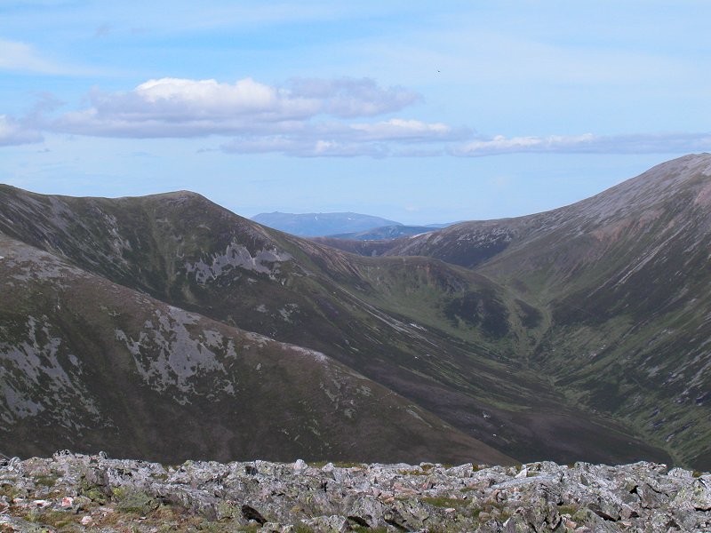
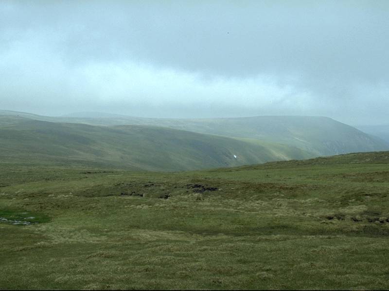
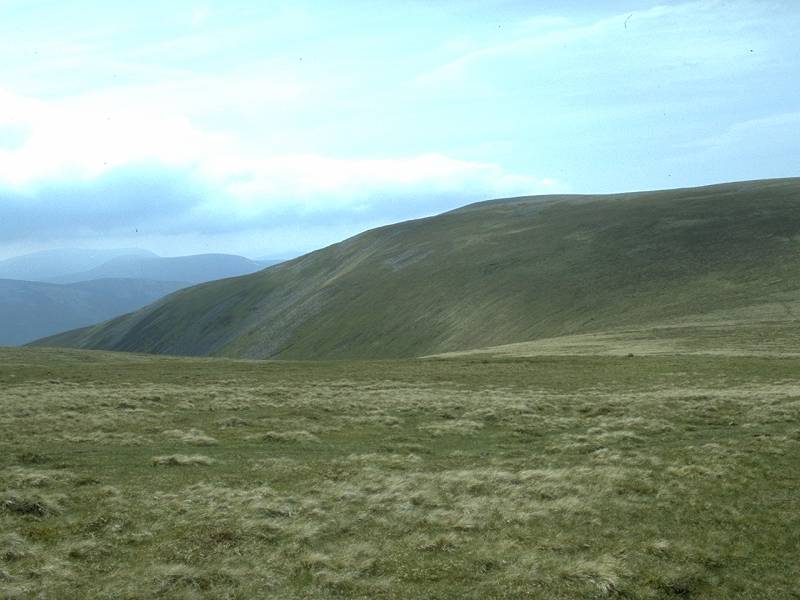
Looking south across the lonely Glen Girnaig to Ben Vrackie
|

|
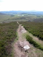
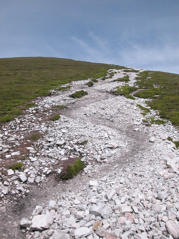
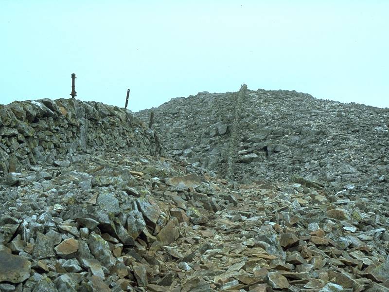
The steepest part of the ascent, which is starting to erode quite badly.
|
|
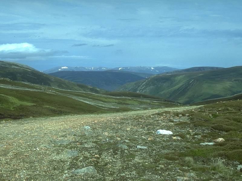
Looking east, towards Spittal of Glenshee across some spectacularly empty country.
|
|
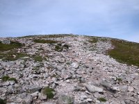
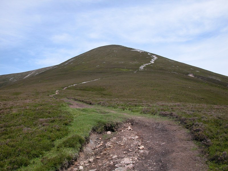
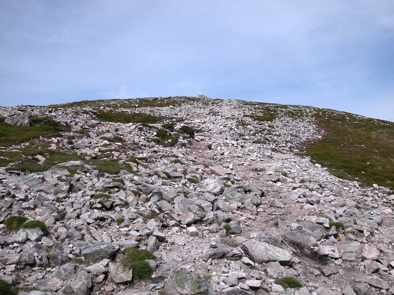
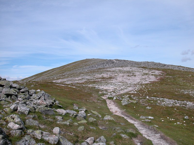
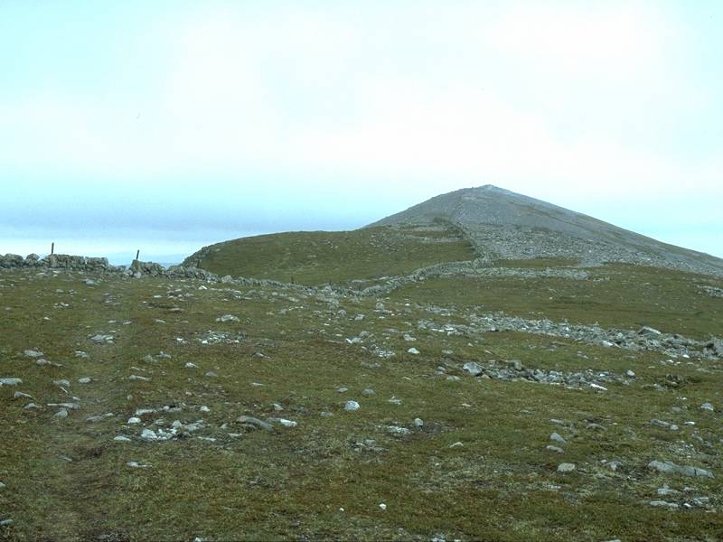
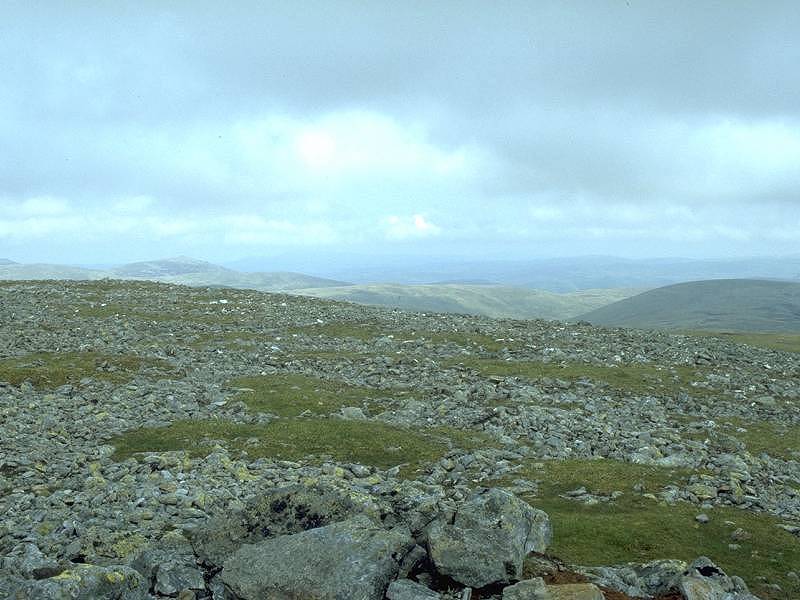
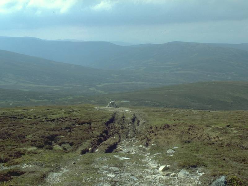
The steepest part of the climb is over as the path approaches the summit dome.
|
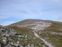
|
The summit dome appears, and it's just a stroll to the top now.
|
|
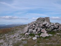
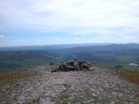
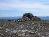
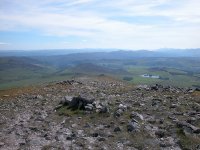
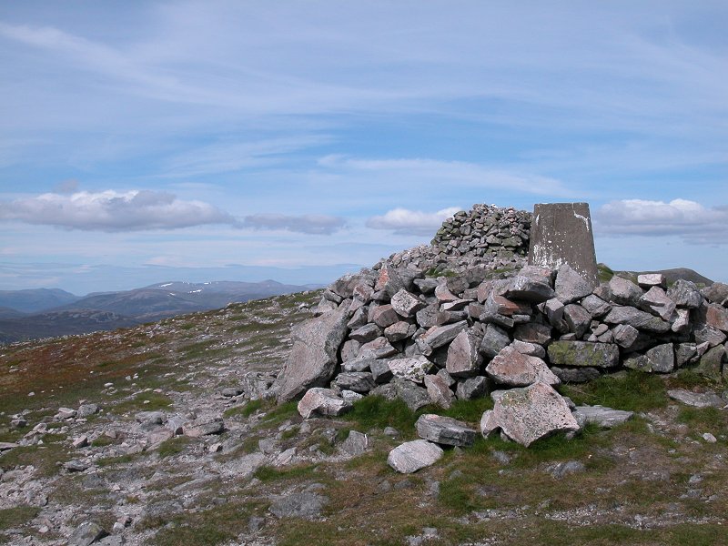
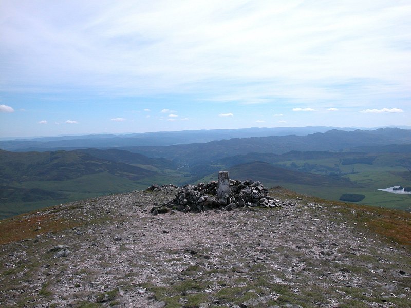
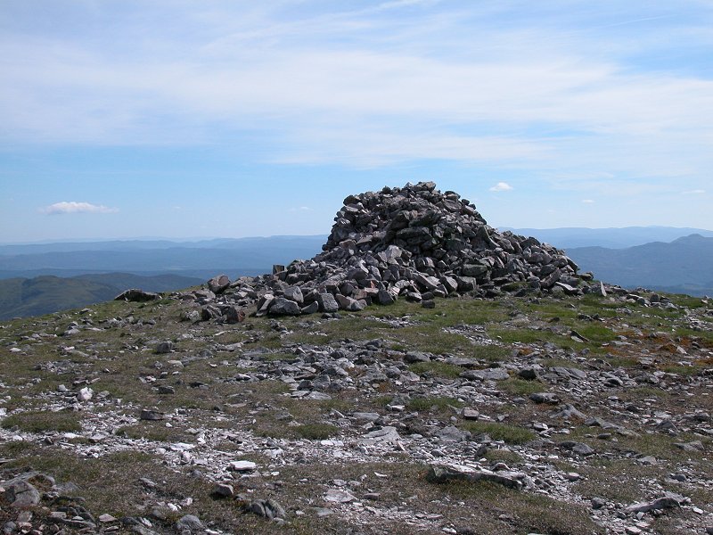
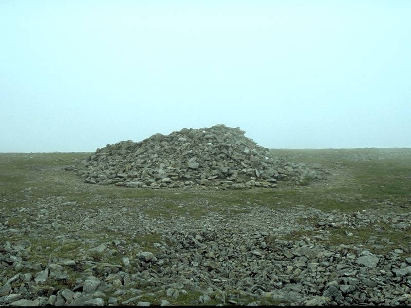
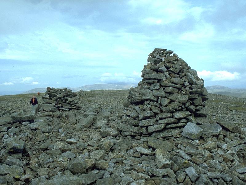
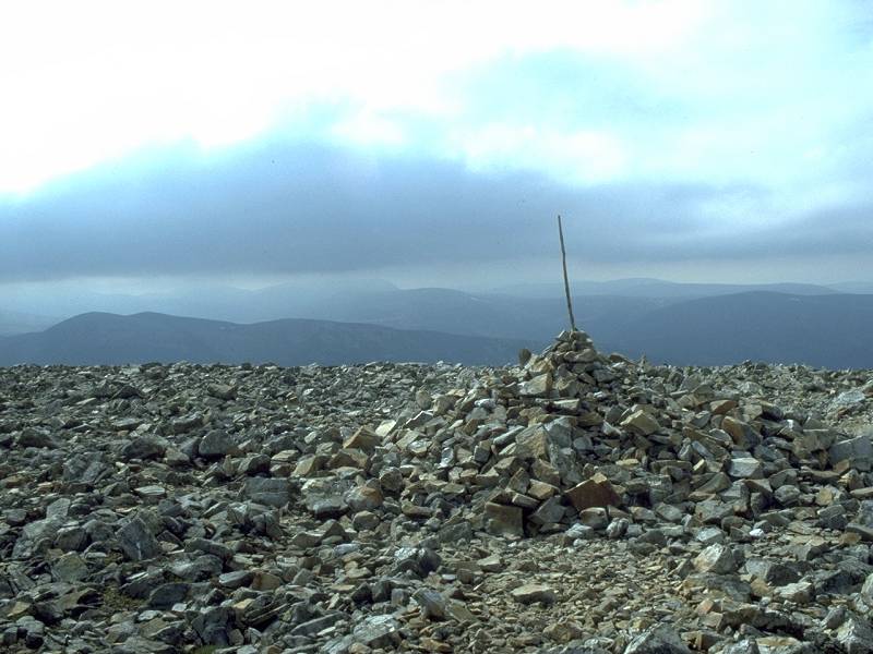
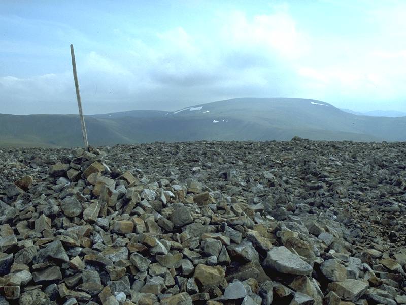
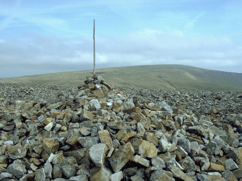
The summit of Carn Liath, my 23rd Munro.
|
|
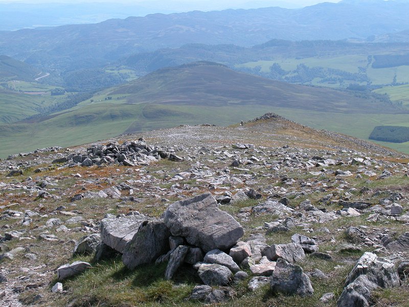
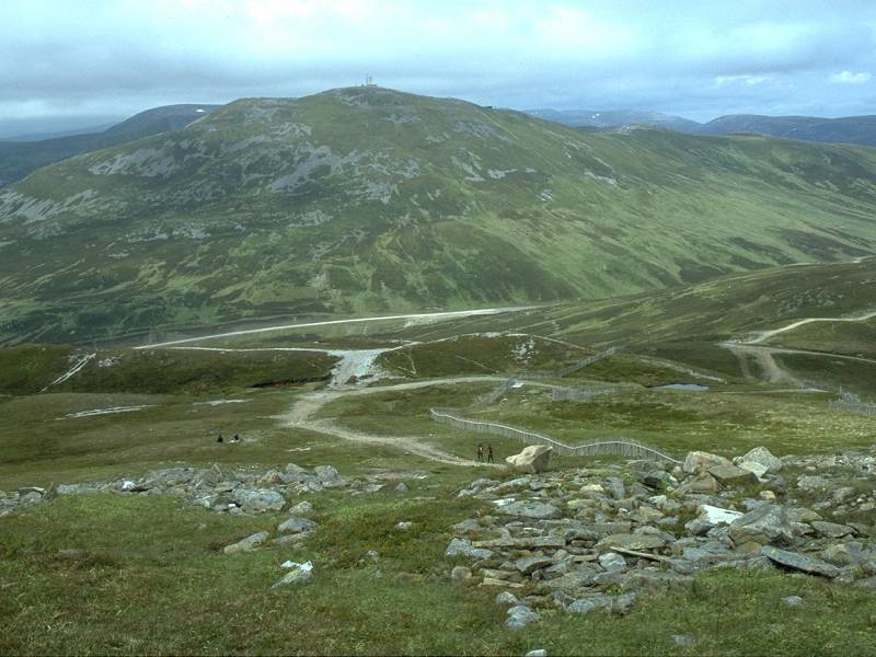
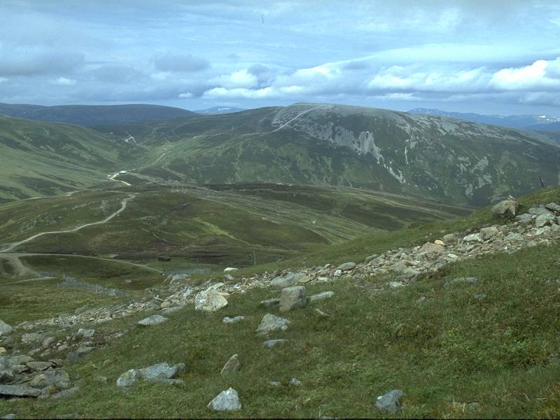
There's
a spectacular view from the top - especially in fine weather like this
- and I barely knew what to shoot first. This is Airgiod Bheinn, one of
the tops of Beinn a' Ghlo
|
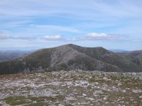
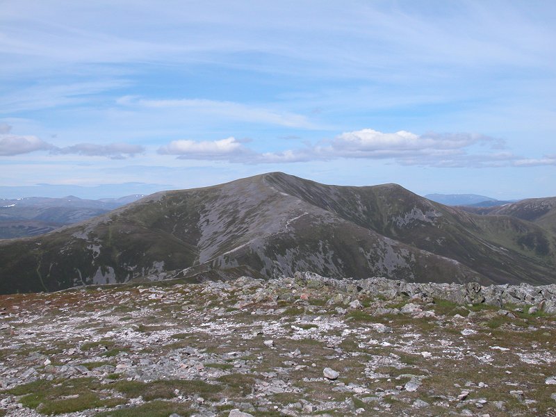
|
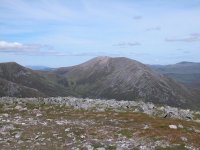
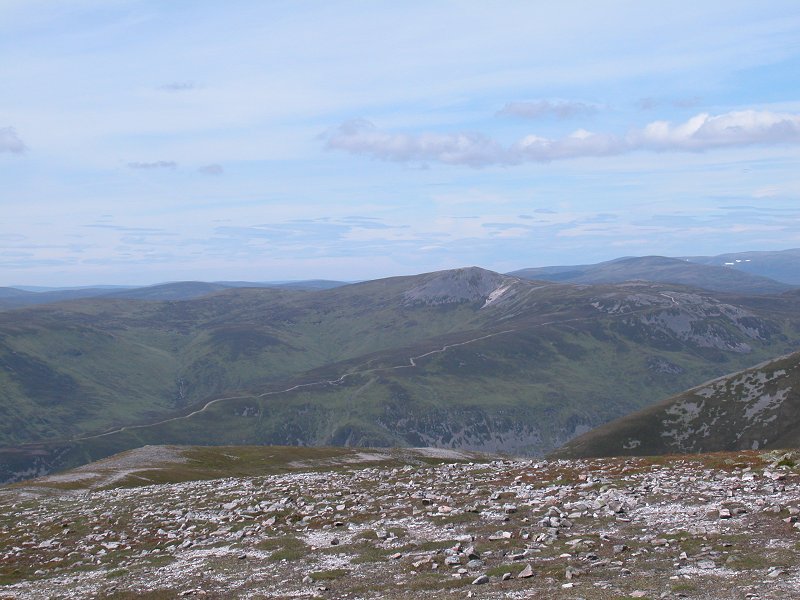
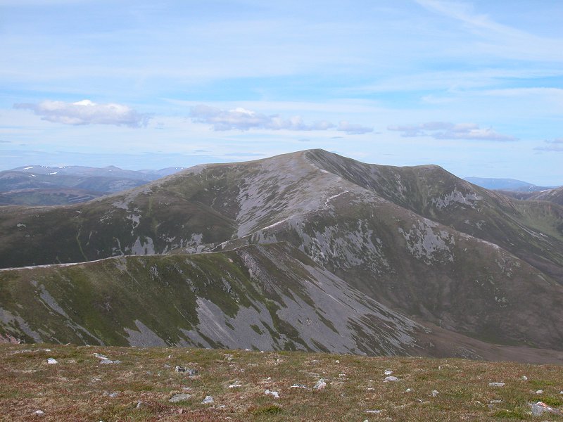
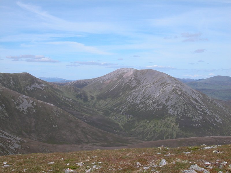
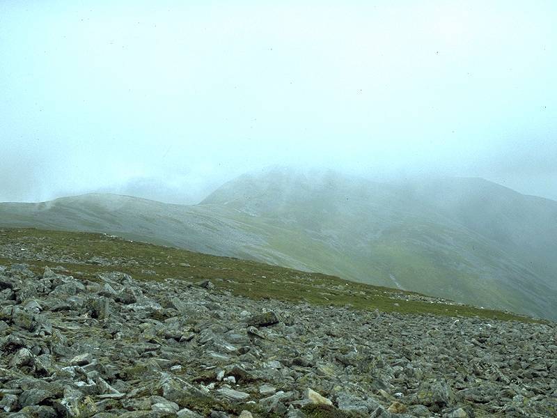
There's Braigh
Choire Chruinn-bhagain, which was to be my second objective of the day.
Unfortunately, as it's now already 3pm, I've reluctantly made the
decision not to go any further today.
|

|
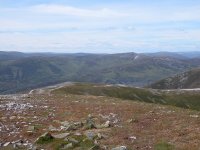
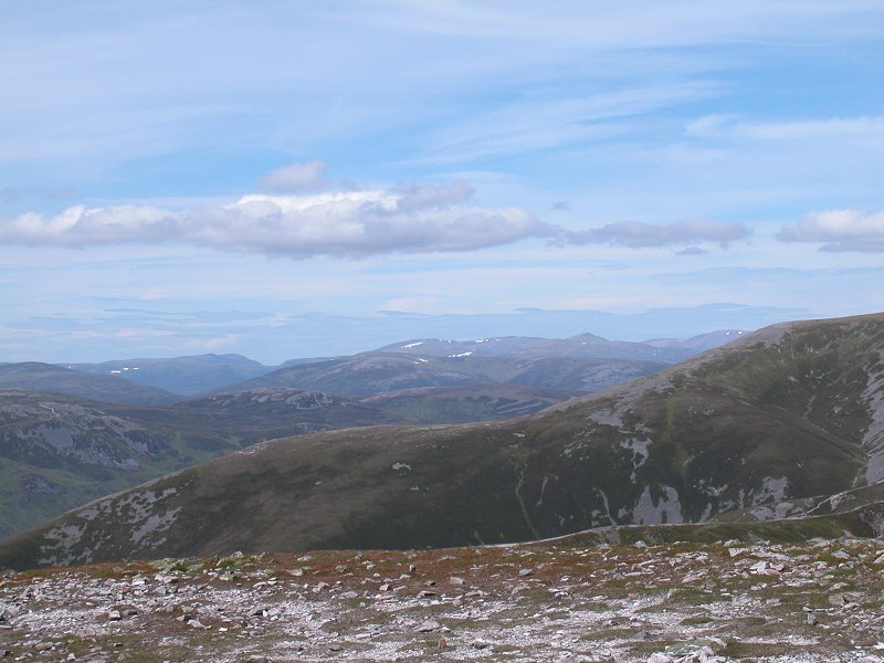
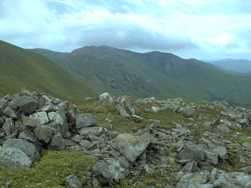
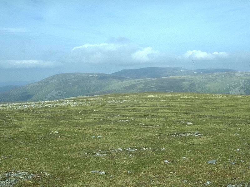
Looking north, to An Sgarsoch and some of the high tops of the Cairngorms.
|
|
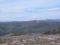
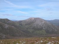
That's Carn a' Chlamain on the other side of
Glen Tilt, and is my objective for tomorrow. I can see what looks like
a substantial path up the southwest ridge, not shown on the map. |

|
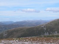
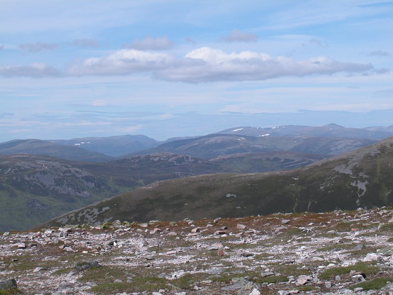
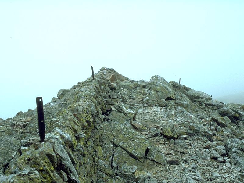
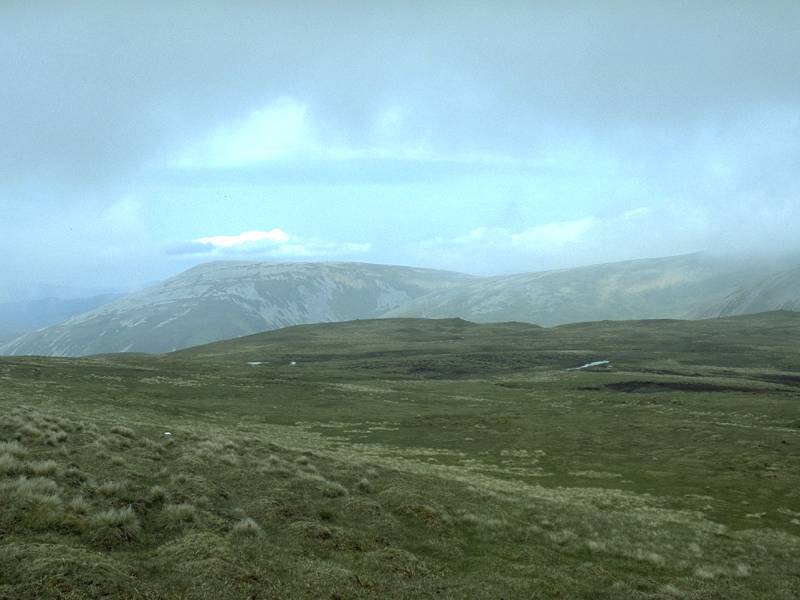
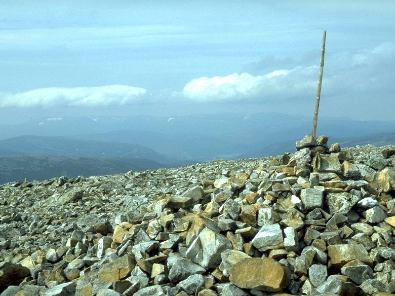
A view to the west across the summit cairn; the Ben Lawers group and Schiehallion are well seen.
|
|
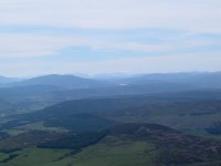
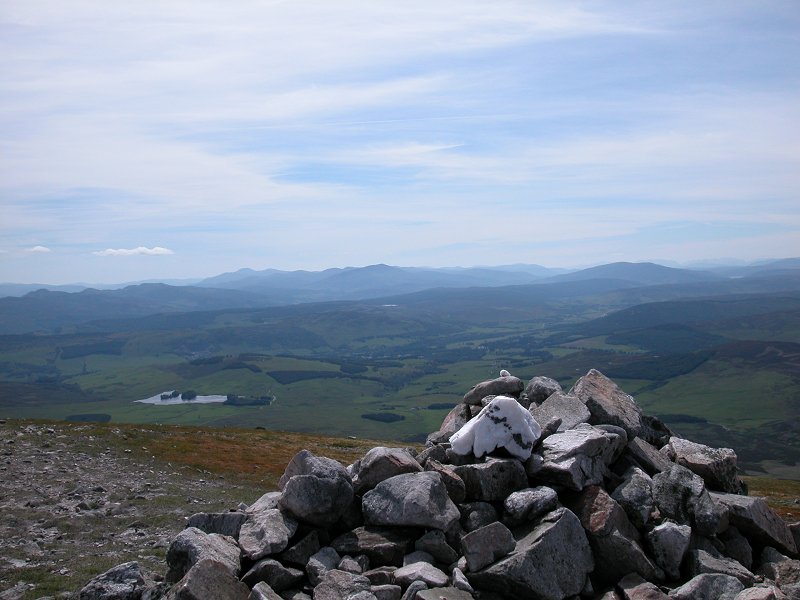
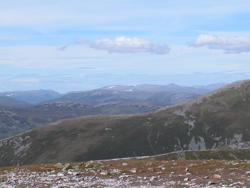
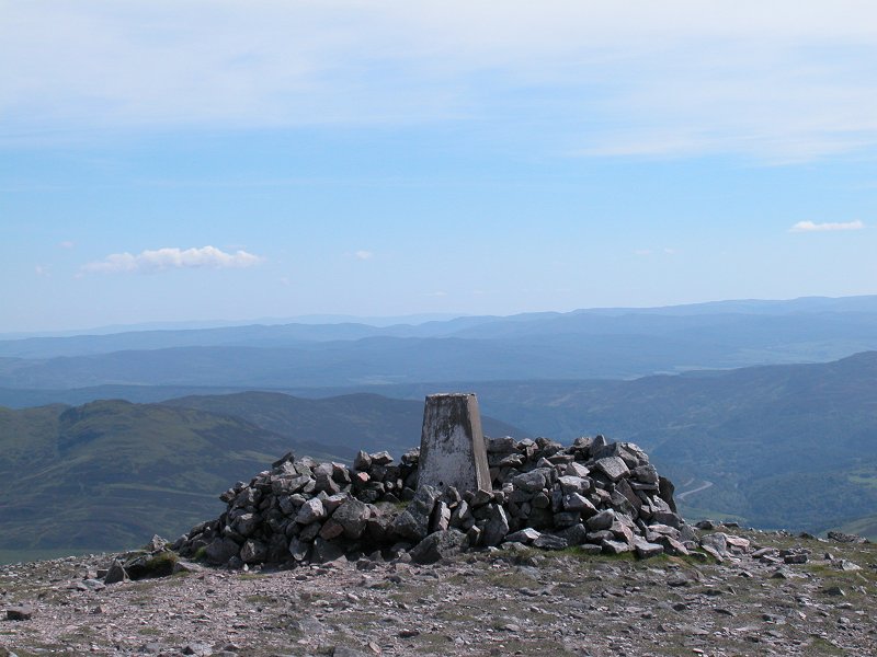
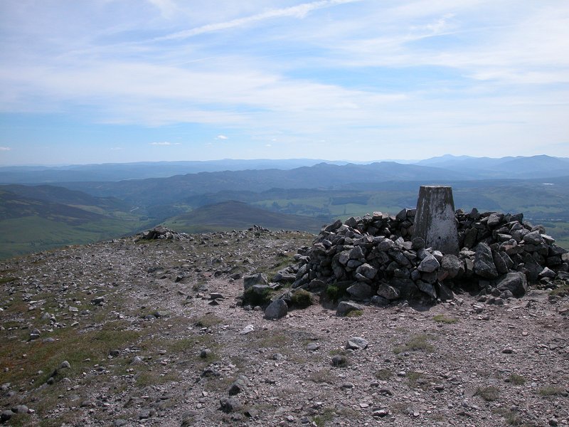
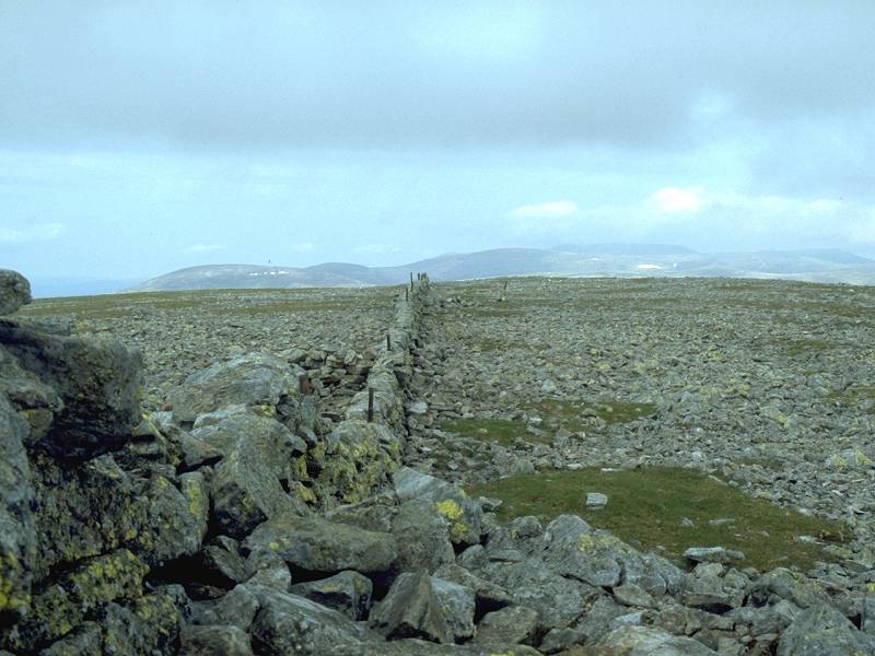
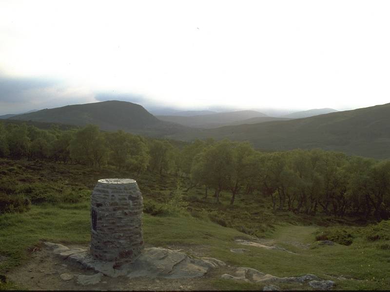
Looking
southwest across the trig pillar. Killiecrankie is down there at the
foot of Glen Girnaig, and beyond are the hills between Aberfeldy and
Loch Tummel
|

|
Looking south, to Ben Vrackie and beyond.
|
|
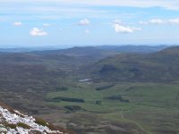
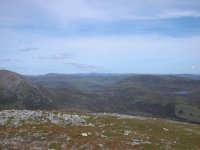
Looking
northeast. To the right, Loch Valigan nestles in an upland corrie.
Coire Lagain leads away into the wilderness in the centre of shot, with
Glas Tulaichean some miles away and the Lochnagar group in the far
distance.
|

|
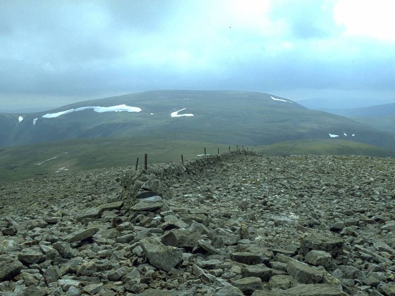
The
Bealach an Fiodha between the two main parts of the Beinn a' Ghlo
massif. It's difficult to give a name to the hill in the distance but I
reckon it's probably Beinn a' Bhuiridh or Ben Avon.
|
|
The
Cairngorms to the north. Again it's difficult to pick out which summit
is which from here, but I would hazard a guess that the dip in the
skyline just left of centre is the trench of Loch Einich, which makes
Sgor Gaoith the shapely peak to its left with the Braeriach /
Cairn Toul plateau to the right.
|
|
Tracking
a little to the right, what I suspect is Braeriach is now more or less
in the centre of shot, which makes the hill to the right Ben Macdui.
|
|
Carn a' Chlamain nearby to the left, Carn an Fhidhleir beyond to its right, Sgor Gaoith and its neighbours neyond that.
|
|
There's
an interesting skyline. What can we see? What are those peaks on the
skyline? My best guess is that we're looking along the lengths of Loch
Tummel and Loch Rannoch across Rannoch Moor beyond, and those are
either the Mamores or the mountains either side of Glencoe. Whichever
they are, they are a good 80km (50 miles) distant.
|

|
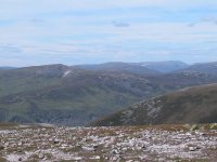
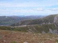
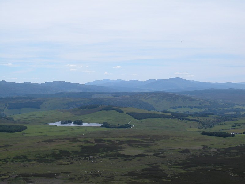
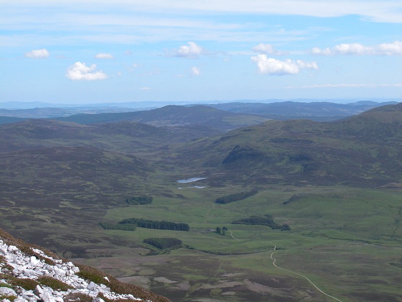
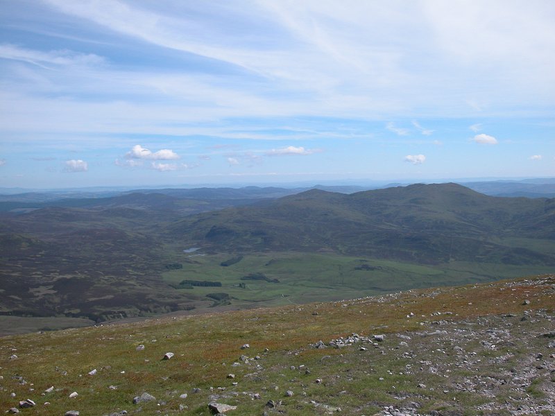
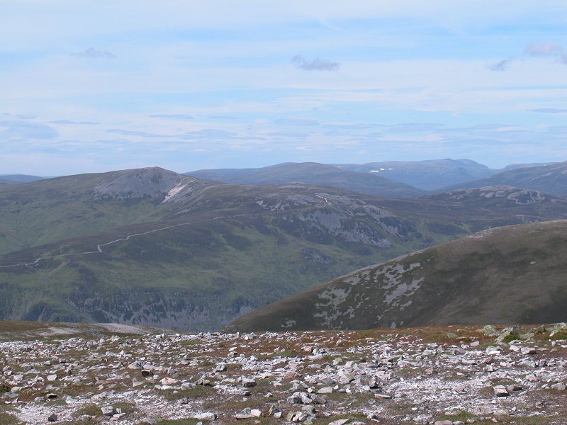
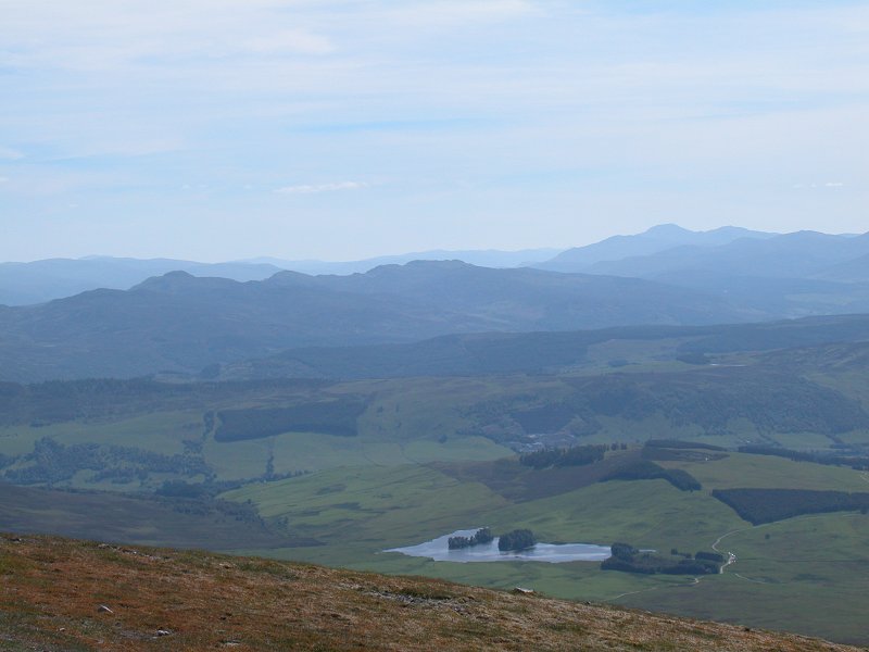
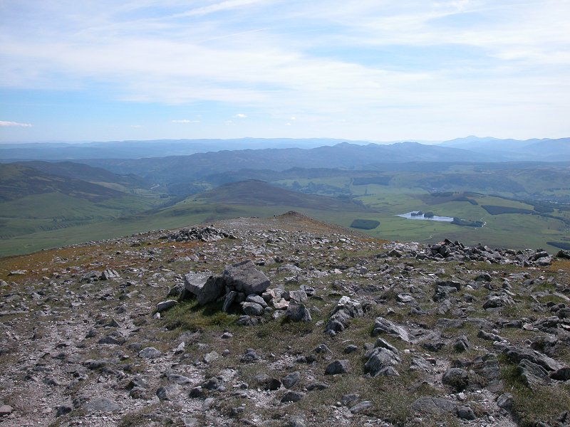
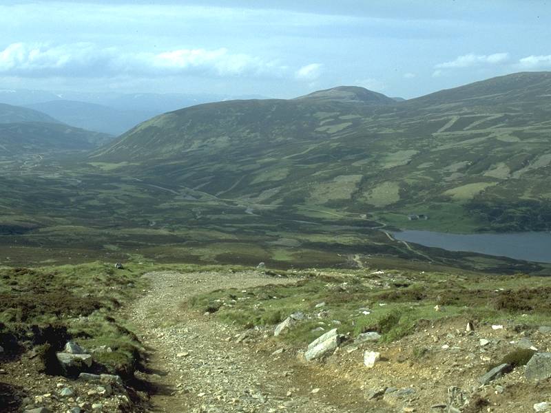
The
view to the west-southwest. Loch Moraig nearby, a peek of Blair Atholl
down in the main glen, Farragon Hill beyond to the left and Ben Lawers
in the distance to the right.
|

|
The view to the southwest over the trig pillar.
|
|
Looking across Glen Tilt to Carn a' Chlamain once again, and nearer to is the path I would have taken to Braigh Choire Chruinn-bhagain had I had time.
|
|
It's a beautiful ridge, and it's such a shame that I have to leave it for another time.
|

|
Braigh Choire Chruinn-bhagain is a fine looking hill. So near yet so far...
|
|
And there's the rest of Beinn a' Ghlo; Airgiod Bhenn and Carn nan Gabhar. One day I might climb them.
|
|
The summit wind shelter, in which I had a late lunch...
|

|
...then it was time to start back down, past the trig pillar...
|
|
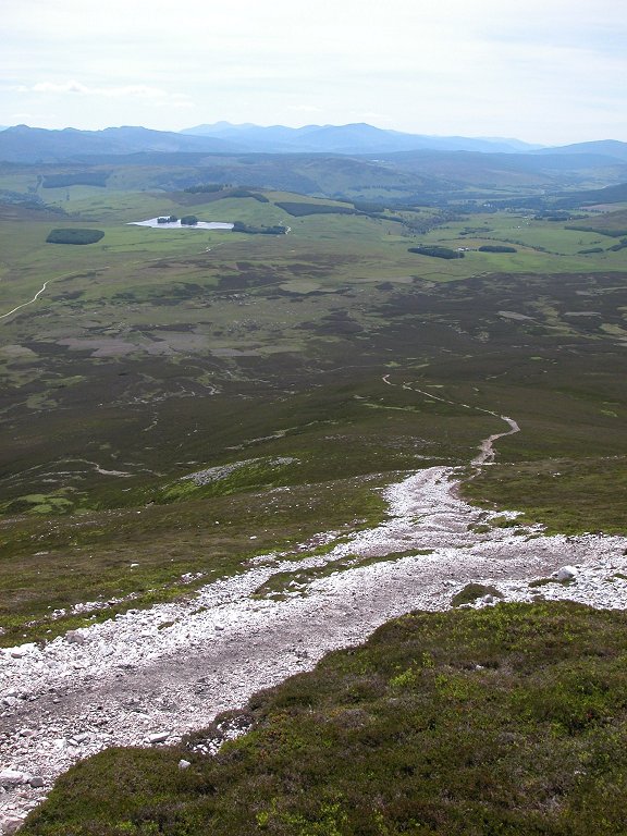
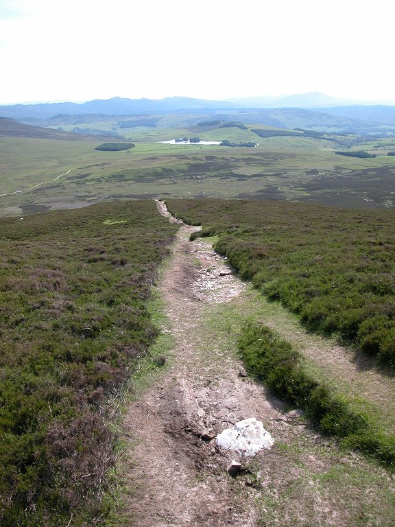
...and down the path towards Loch Moraig.
|

|
It was a lot easier going down than coming up
|
|
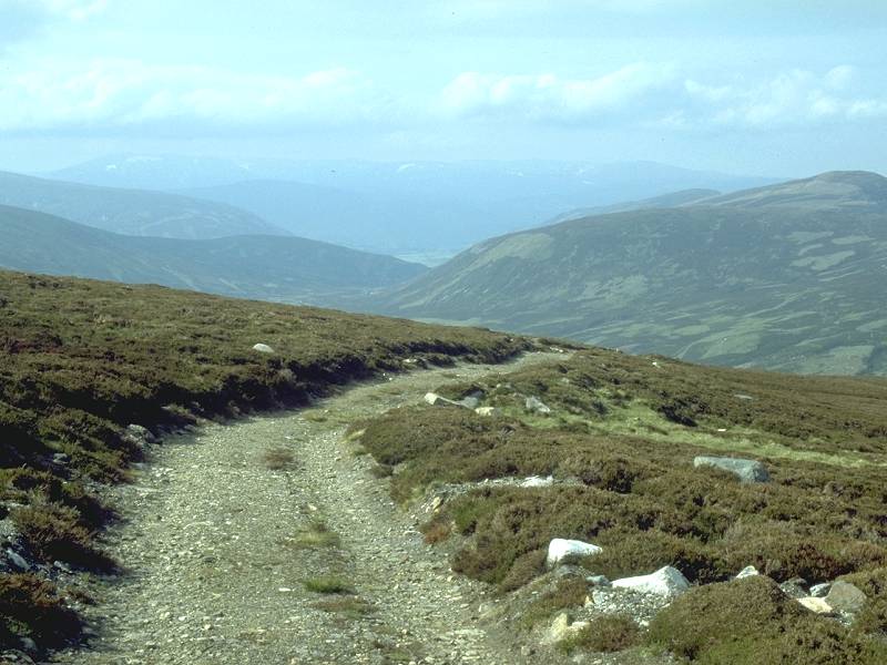
Back down to the foot of the hilll
|
|
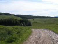
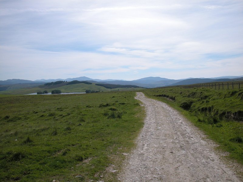
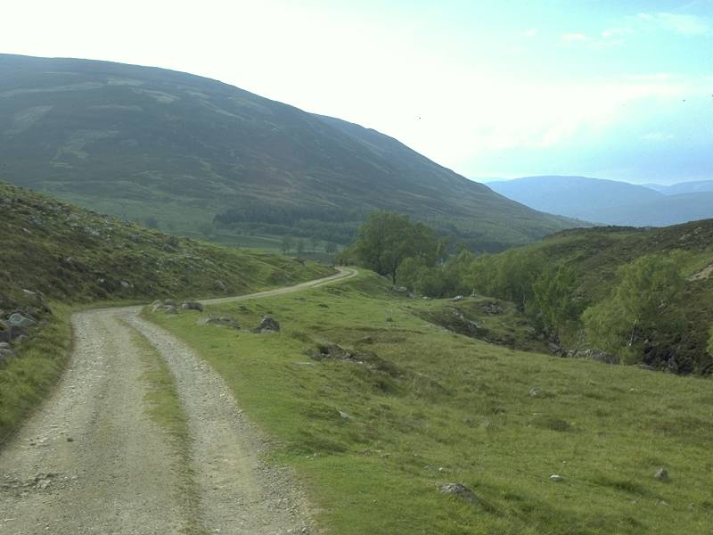
The estate track back to Blair Atholl
|
|
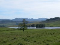
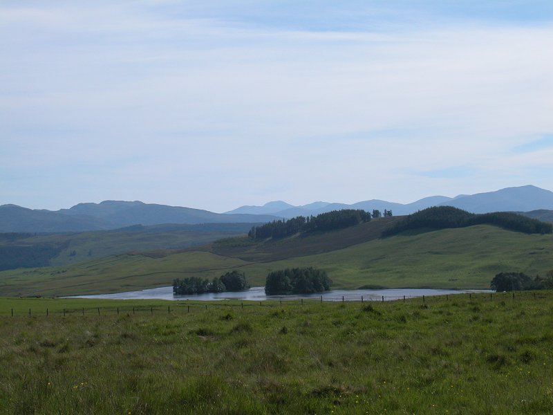
Loch Moraig looks idyllic in the late afternoon light.
|
|
The track back to the car park
|
|
Loch Moraig is an irresistable subject. As I walked past I sited an imaginary dream cottage here just to the right.
|

|
How about seeing that view from your window every afternoon? Oh well, one can dream.
|
|
It
was around 6pm when I reached the car park and started out on the
tarmac road back to Blair Atholl. I was very lucky - a middle-aged man
stopped to offer me a lift and took me all the way back to Pitlochry. I
celebrated with an ice cream, not something you can do very often in
the Highlands.
|


