|
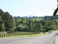
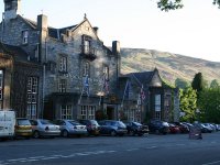
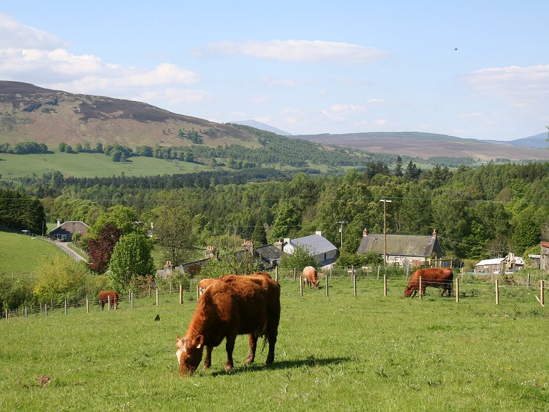
The main road through Blair Atholl,
at the driveway to Blair Castle. |
|
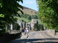
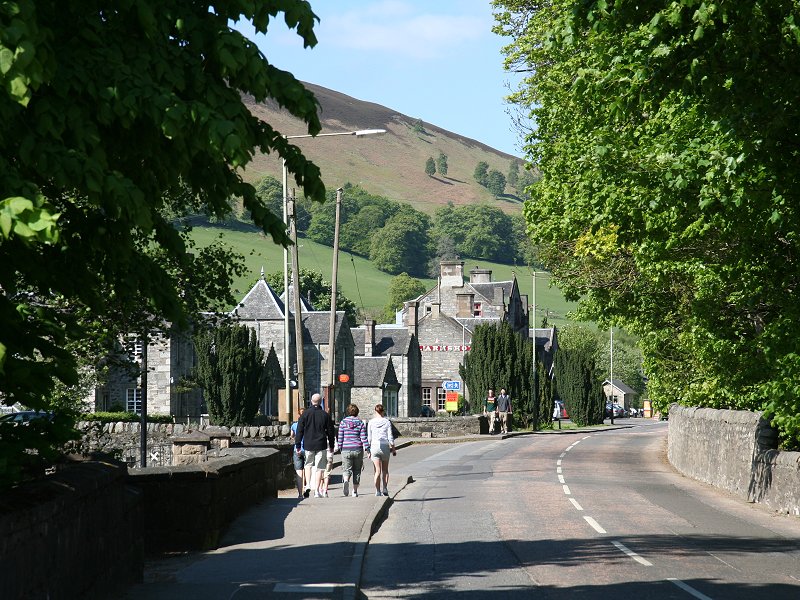
A
view of Blair Atholl’s main street |

|
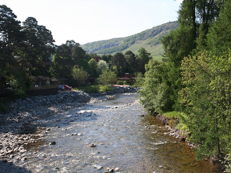
The
River Tilt from the road bridge |
|
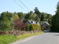
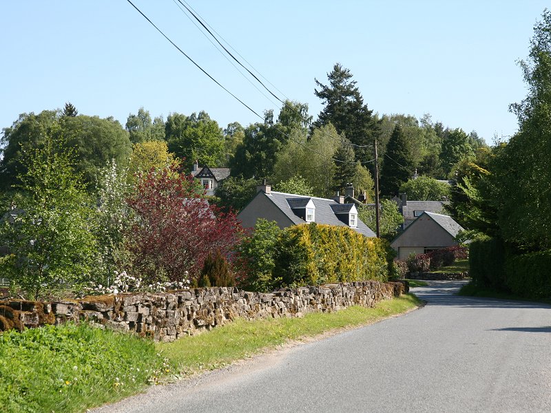
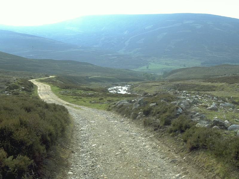
The
road to Old Blair. |
|
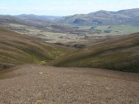
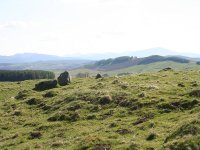
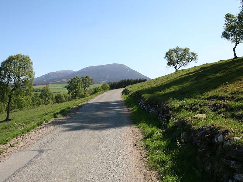
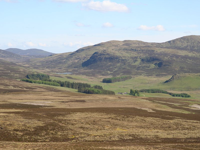
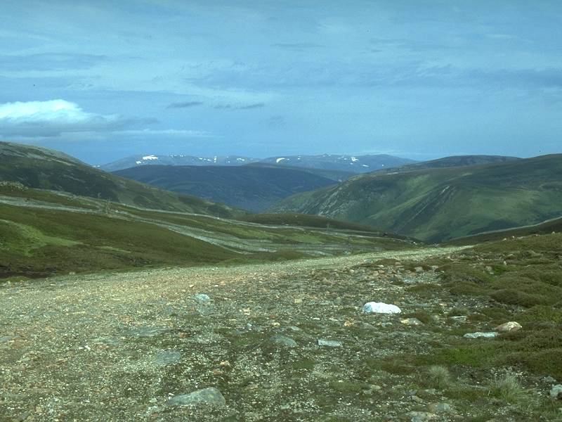
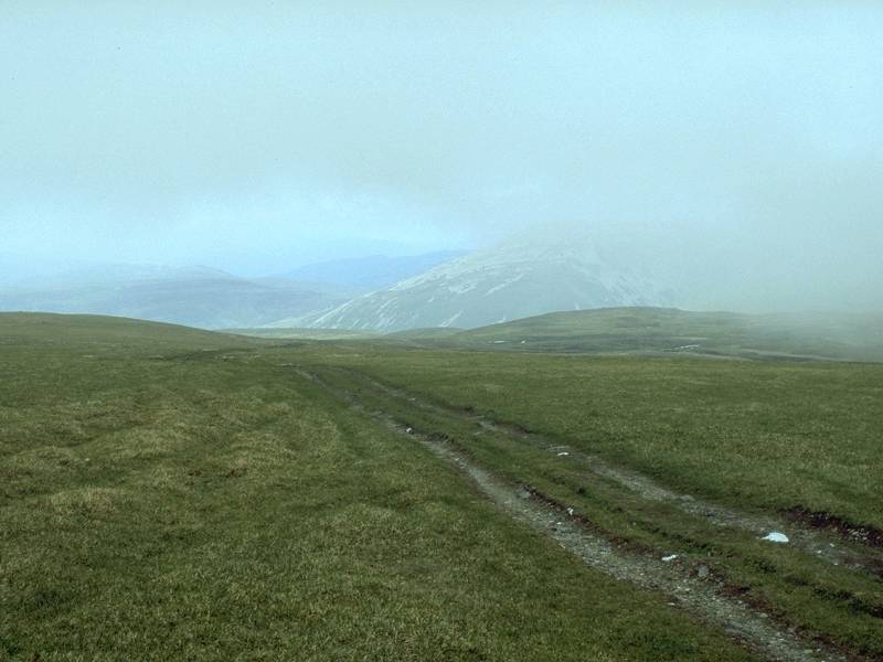
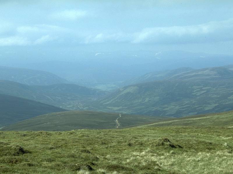
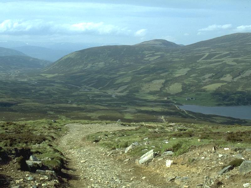
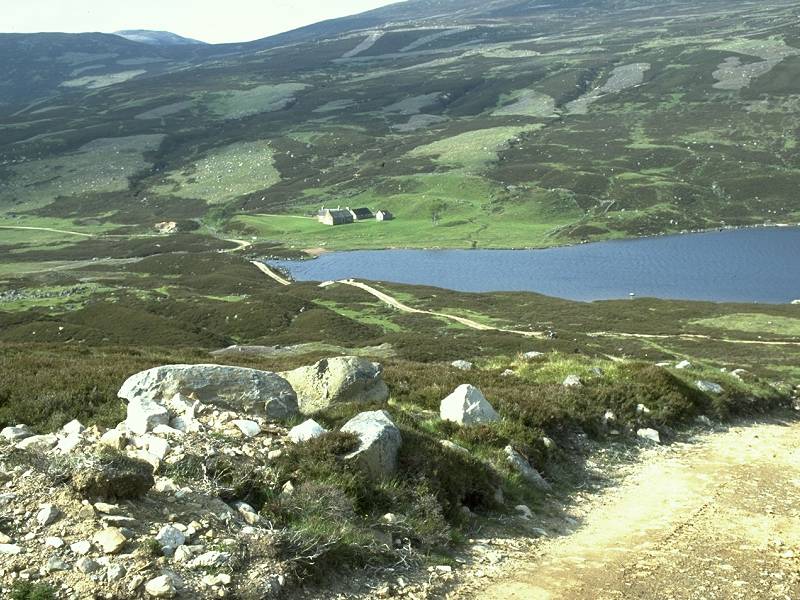
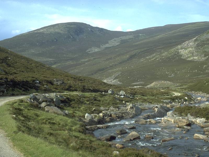
A
view over Glen Tilt from the road up to Loch Moraig
|

|
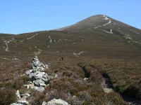
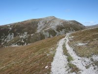
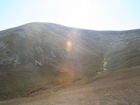
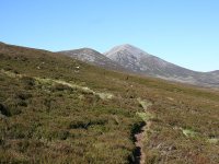
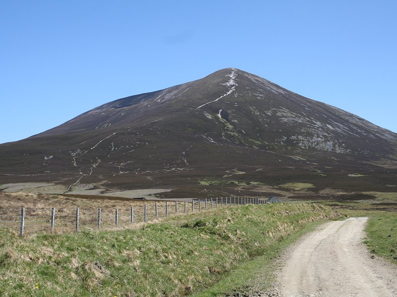
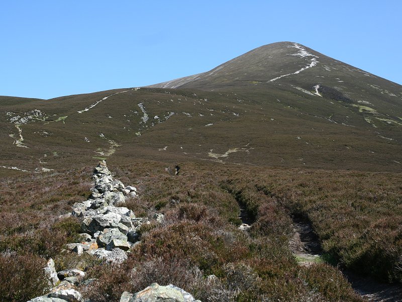
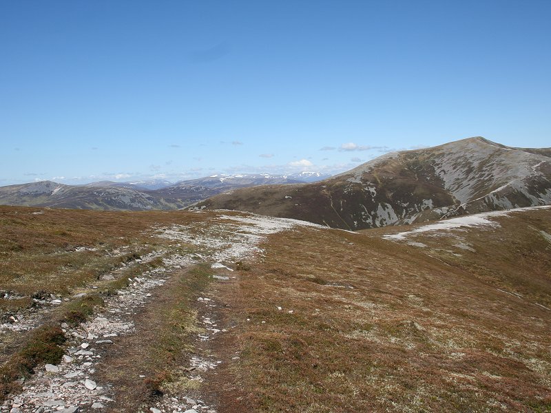
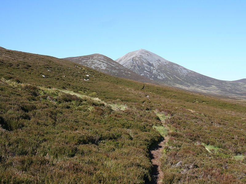
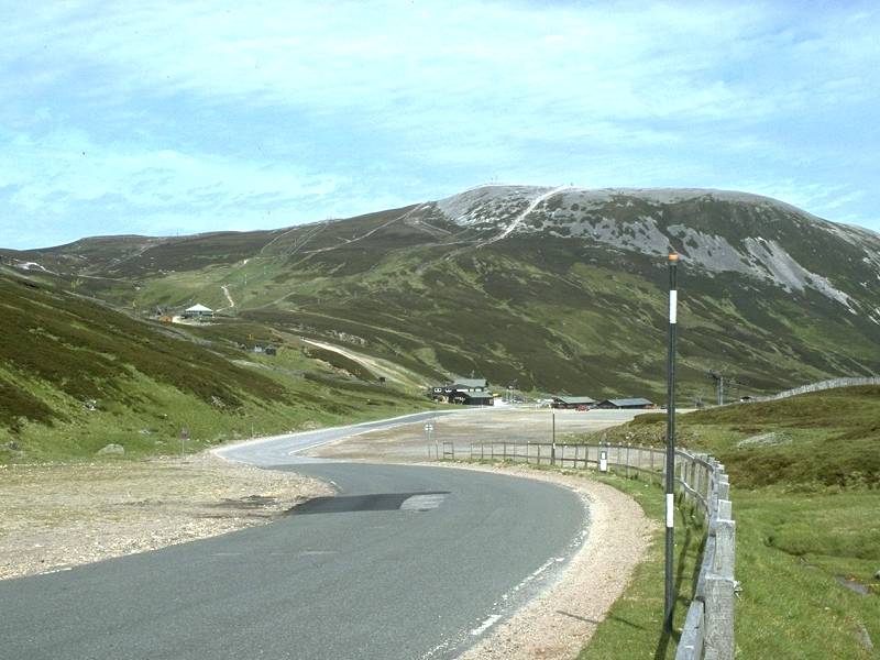
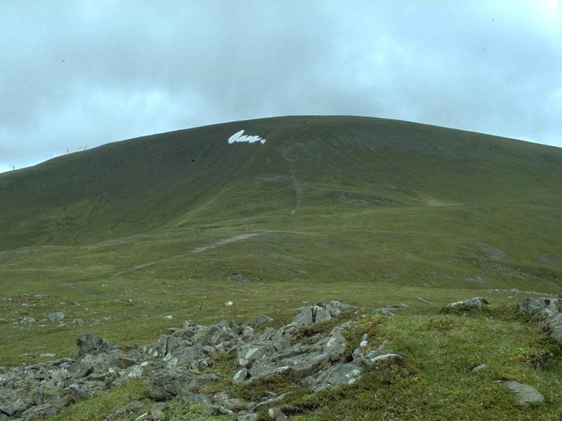
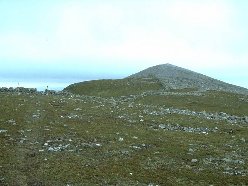
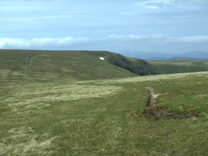
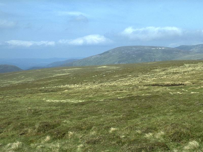
The
first view of Carn Liath from the road.
|
|
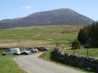
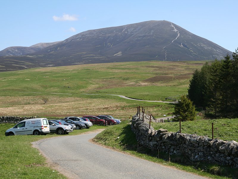
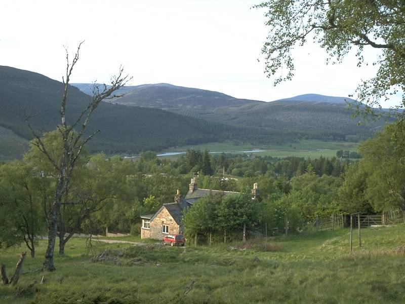
Arriving
at the Loch Moraig car park. Carn Liath is seen in the background.
Although I'd climbed Carn Liath three years ago it would be necessary
to do so a second time, as Braigh
Coire Chruinn-Bhaglainn lies further along the ridge.
|
|
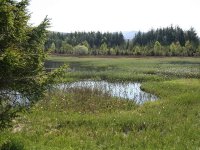
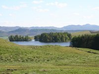
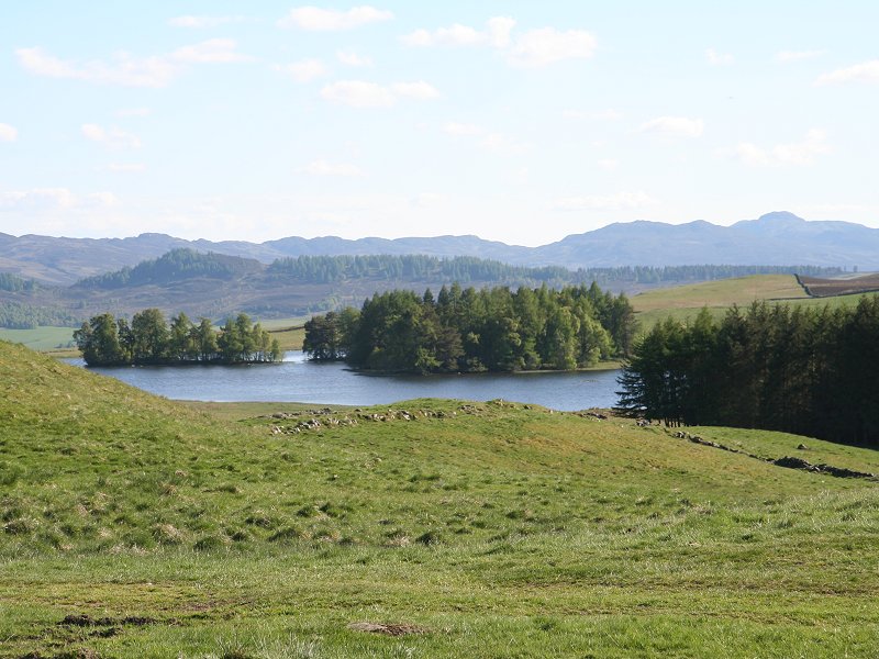
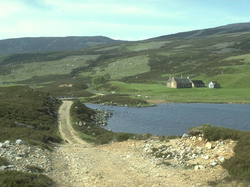
Part
of Loch Moraig. |

|
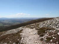
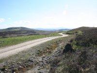
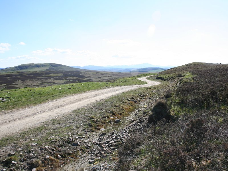
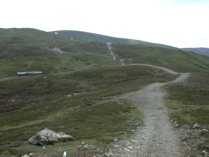
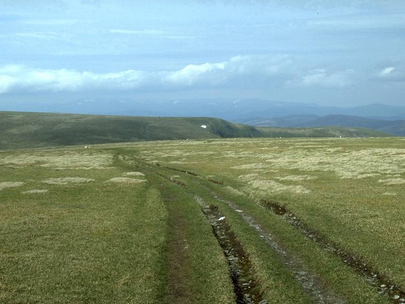
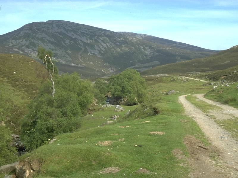
The
approach to Carn Liath along the estate road. The ascent path up the
steep southern spur can be seen vwet clearly.
|
|
The
ascent of the southern spur of Carn Liath.
|
|
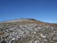
Here,
I've reached the summit dome of Carn Liath and I'm looking along the
ridge towards Braigh Coire
Chruinn-Bhaglainn. |
|
The
summit of Carn Liath. It was more or less midday when I got here.
|
|
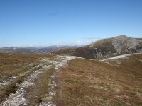
The
ridge path from carn Liath to Braigh
Coire Chruinn-Bhaglainn. The weather is absolutely glorious.
|
|
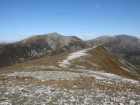
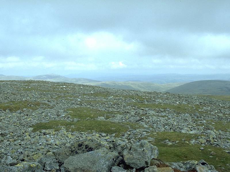
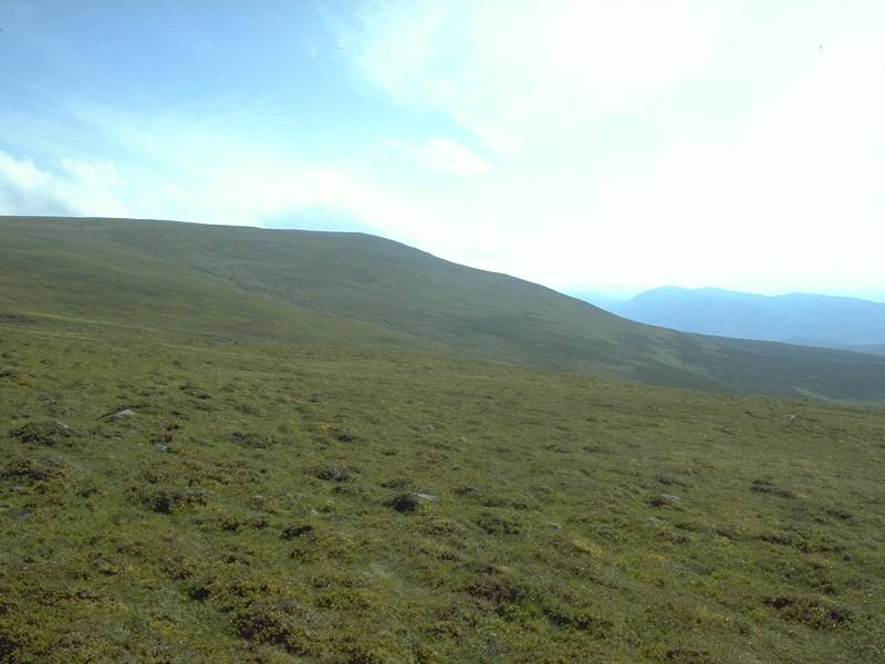
A
level and delightfully easy section of the ridge.
|
|
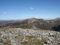
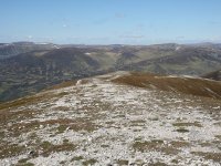
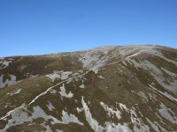
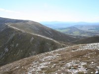
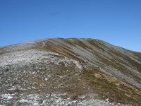
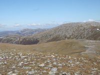
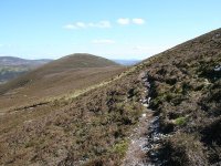
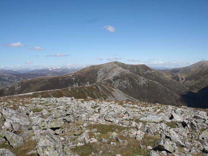
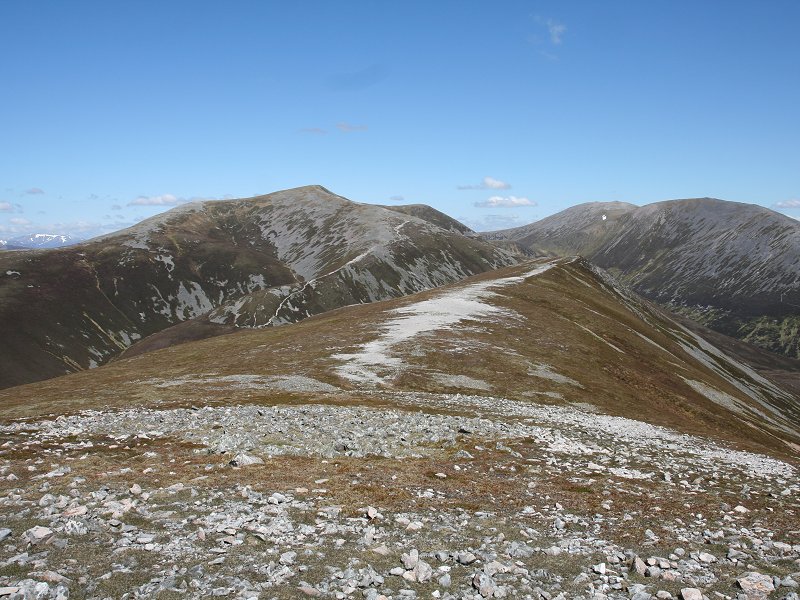
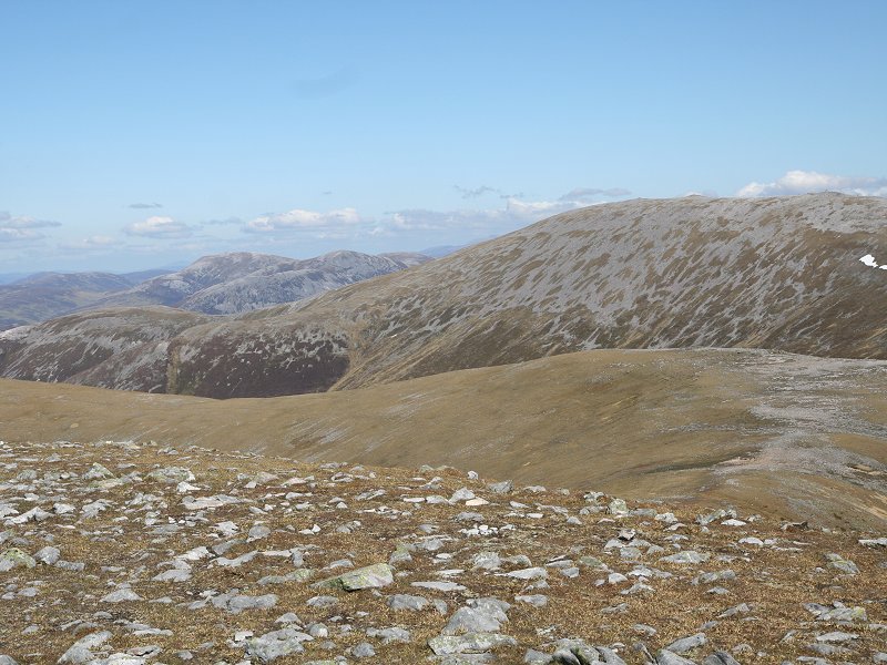
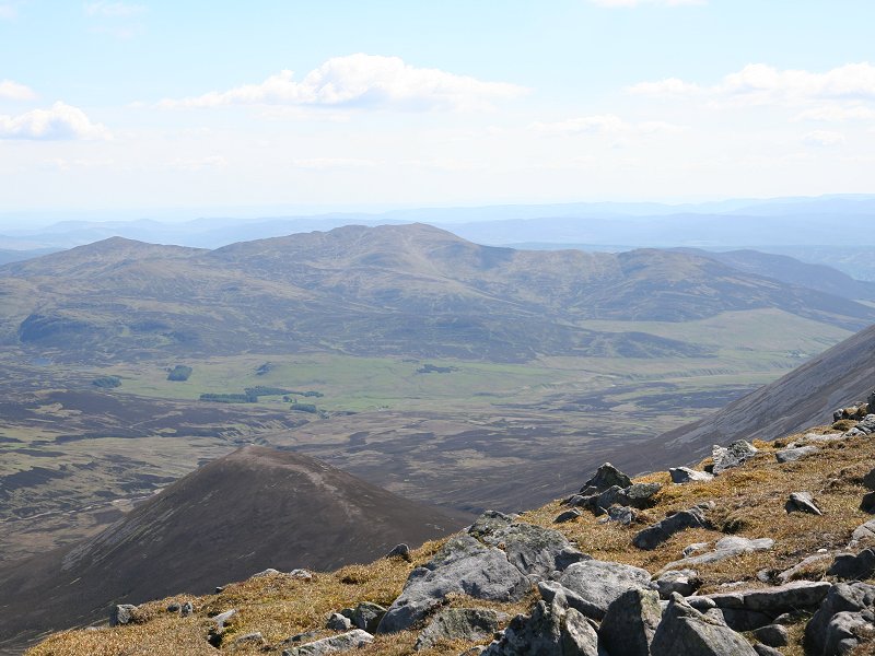
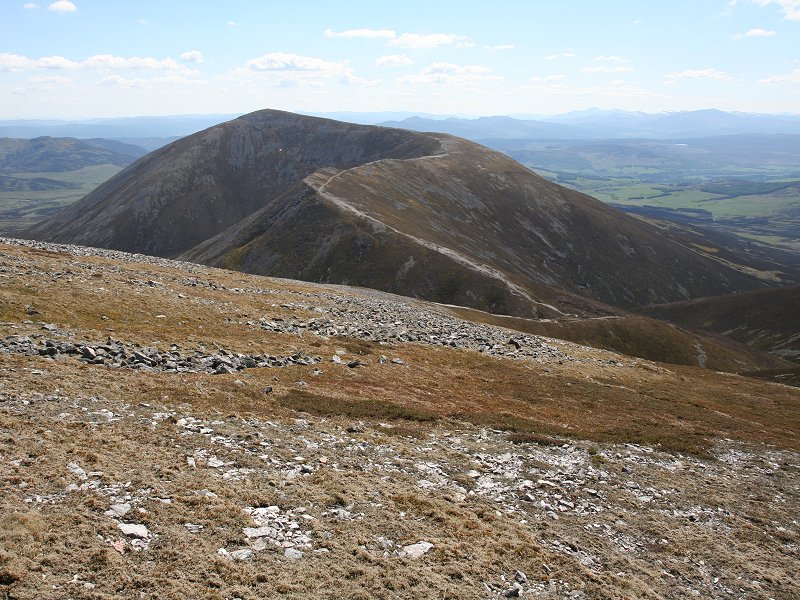
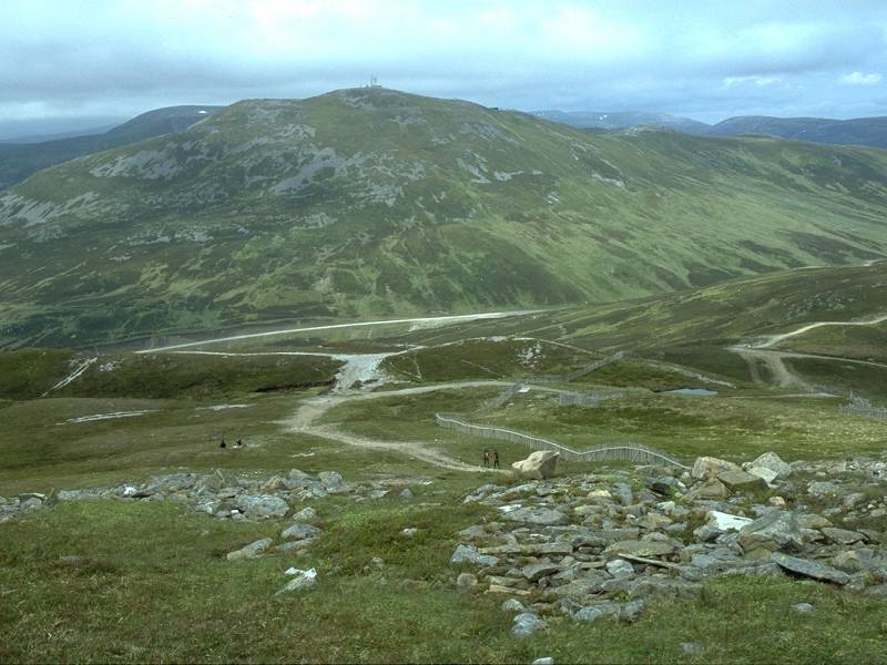
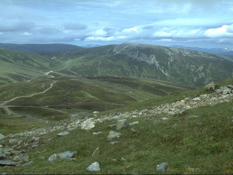
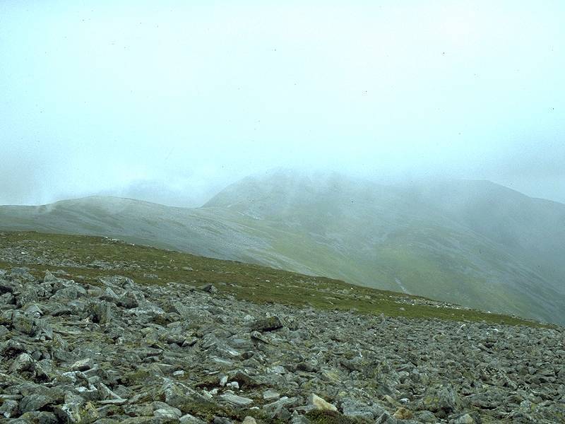
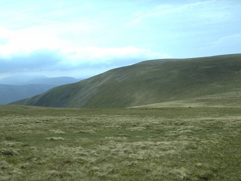
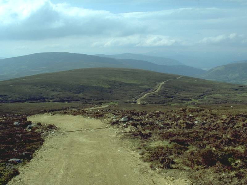
The
rest of the Beinn a'Ghlo massif lays ahead; Braigh
Coire Chruinn-Bhaglainn to the left, the ascent path clearly visible,
and Carn nan Gabhar to the right. |
|
Nearing
the col.
|
|
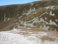
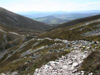
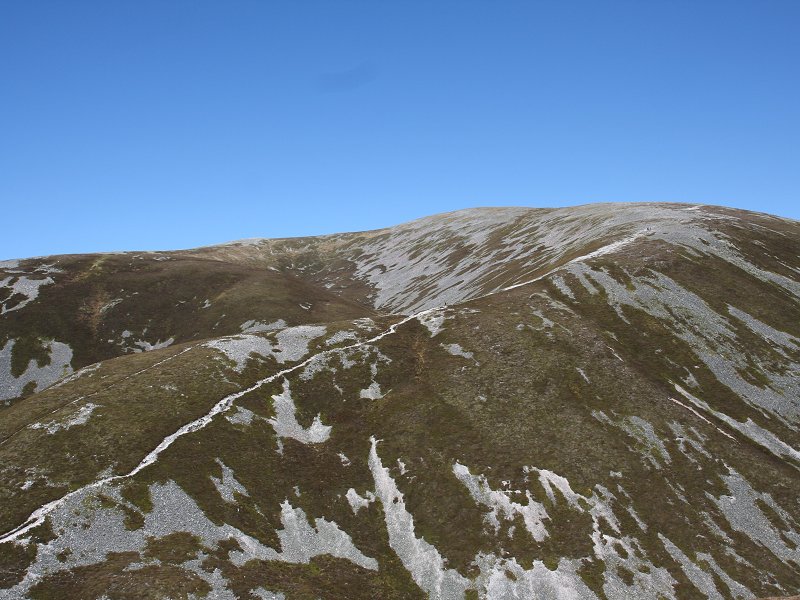
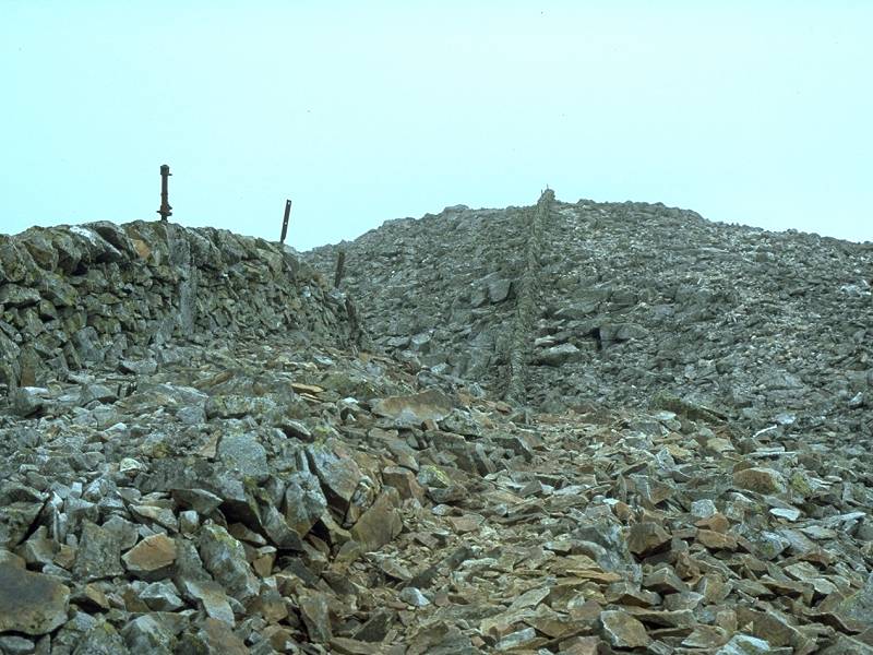
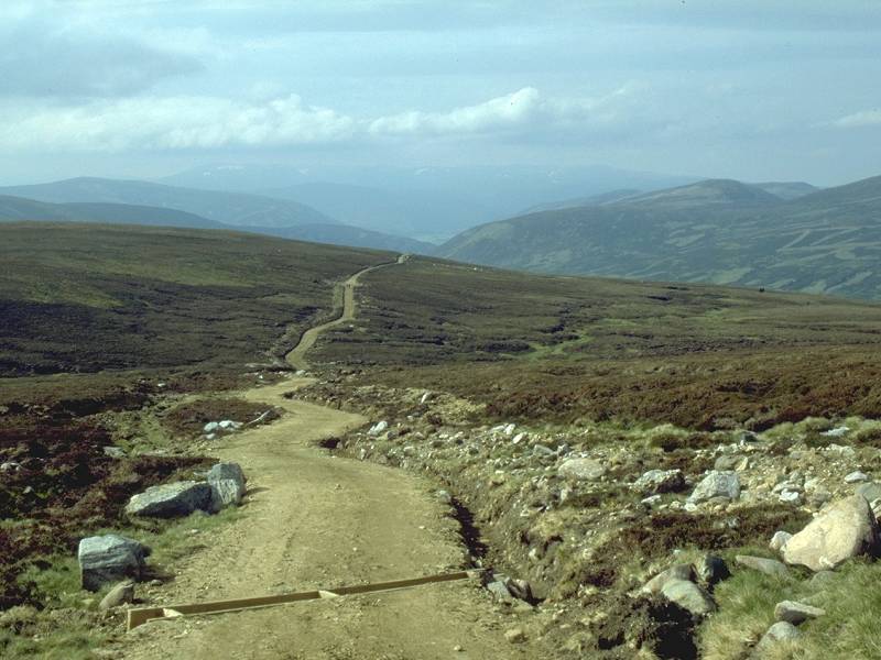
The
ascent path of Braigh
Coire Chruinn-Bhaglainn. It looks easy enough until you realise that an
ascent of more than 800ft is involved
|
|
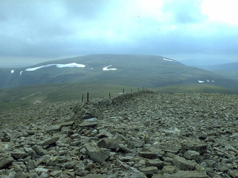
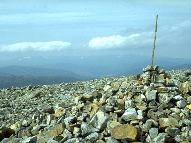
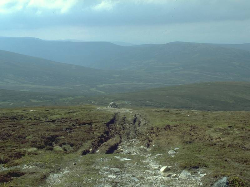
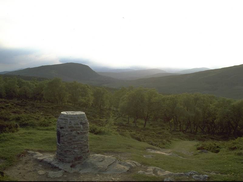
The
col, 2507 ft.
|
|
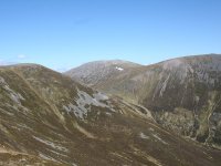
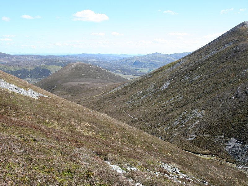
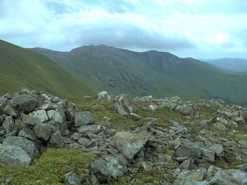
Looking
back at Carn Liath from the ascent of Braigh
Coire Chruinn-Bhaglainn. I was intrigued by the path (seen here)
leading off east from the col and I wondered whether it might give me
an alternative route back. I wasn't keen to reascend Carn Liath.
|
|
From the same spot, looking a bit
more to the right. The Ben Lawers group is in view.
|
|
Looking back at the ascent route of
Braigh
Coire Chruinn-Bhaglainn. I'm at about 2920ft here, just below the point
at which the path reaches the mountain's main ridge and turns left.
|
|
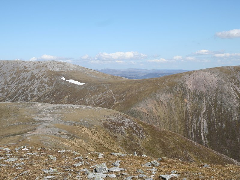
The scene at about 3250ft. The
gradient is beginning to level out and there's little vegetation left.
|
|
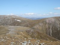
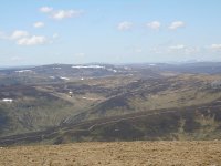
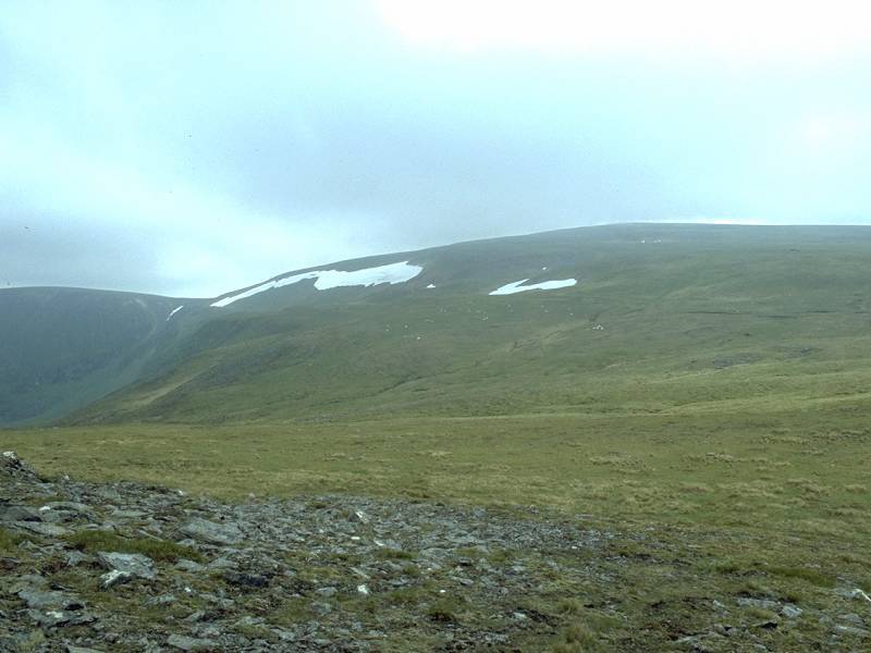
The main bulk of Beinn a'Ghlo over
to the right; Carn an Gabhar is in the centre of shot, with the top of
Airgiod Bheinn to the right. Althouh a path can be seen ascending Carn
nan Gabhar, I was not planning to climb it on this outing; the three
ascents plus the return walk was a little too much for me. Carn nan
Gabhar is two miles further on and involves another 900 ft of ascent.
|
|
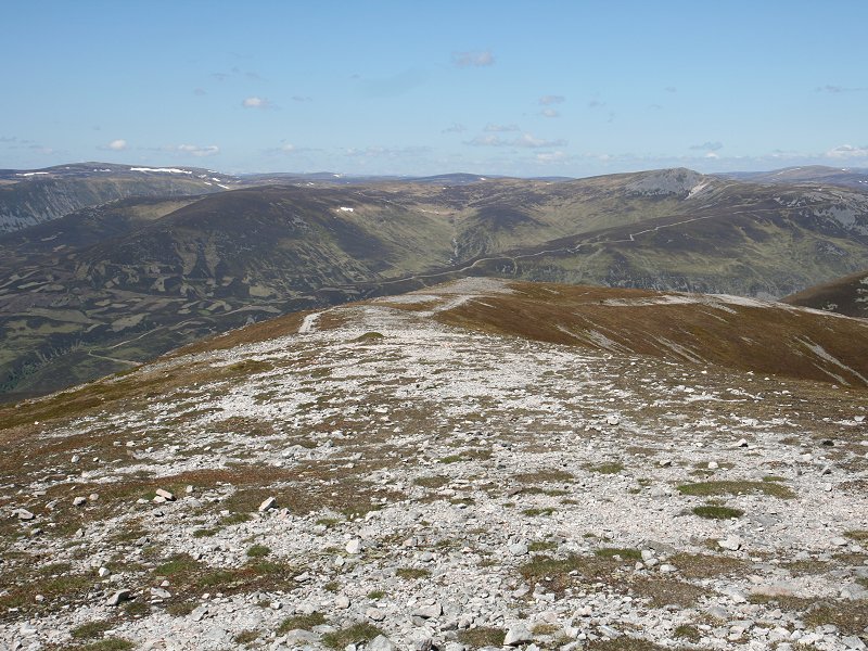
Approaching the summit plateau of Braigh
Coire Chruinn-Bhaglainn. |
|
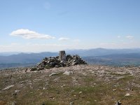
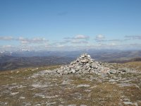
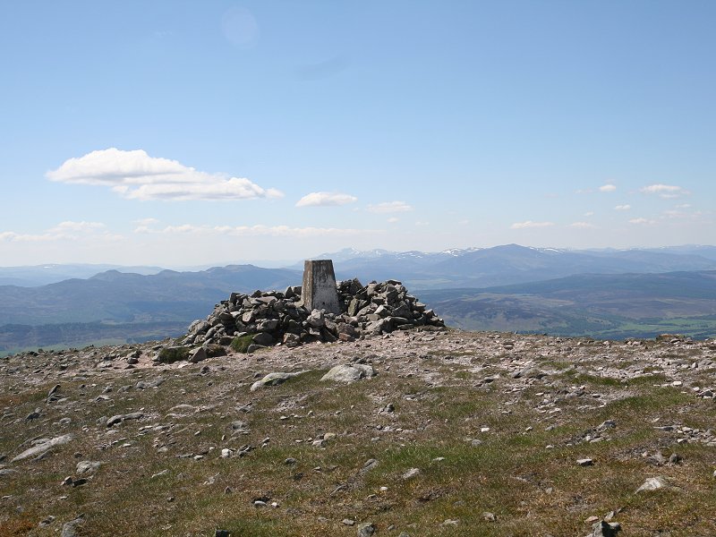
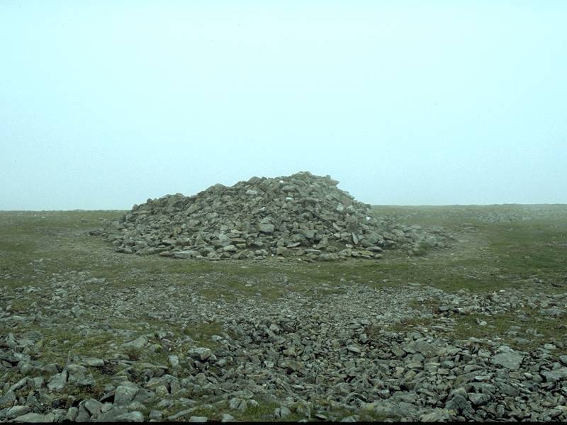
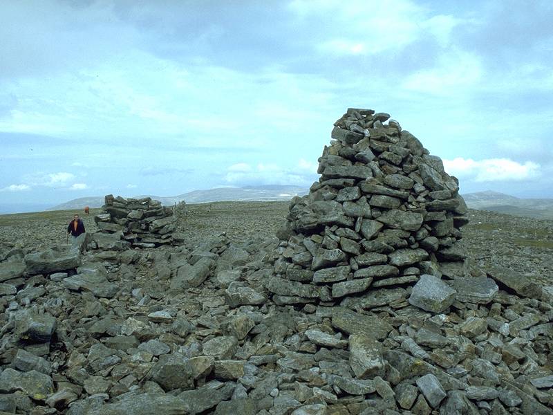
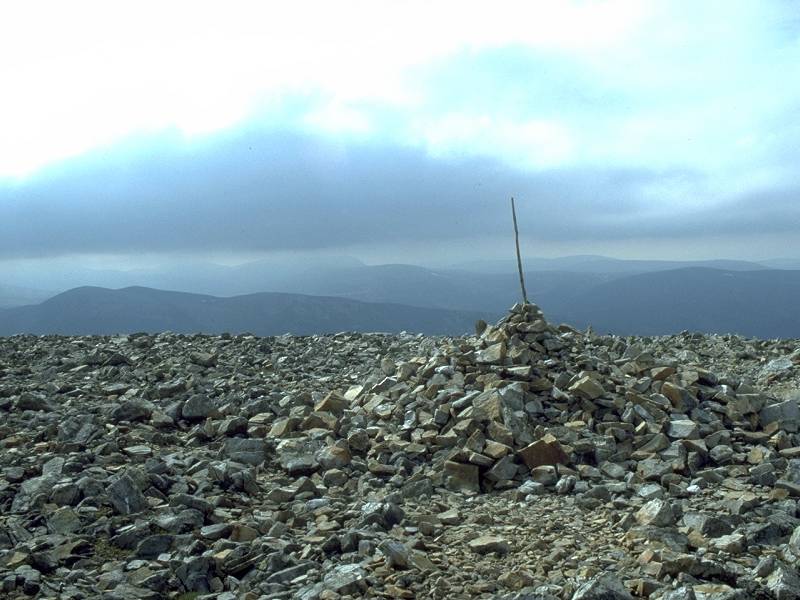
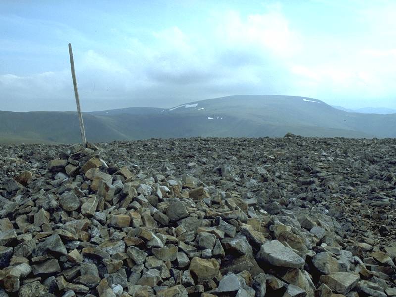
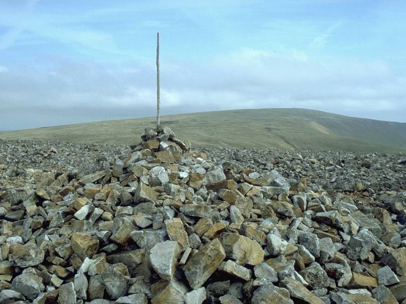
And here's the cairn! Braigh
Coire Chruinn-Bhaglainn is 1070 metres (3510ft) high and is the
66th-highest Munro. |
|
The first of the summit panorama
shots is the scene slightly east of north, towards the high tops of the
Cairngorms.
|
|
Looking more or less northeast
here, we see upper Glen Tilt to the left with the twin massifs of beinn
a' Bhuiridh and Ben Avon beyond. Braigh
Coire Chruinn-Bhaglainn's northeast ridge fills the scene to the right.
|
|
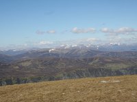
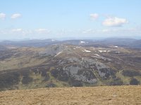
The bulk of Carn nan Gabhar, the
highest summit of Beinn a'Ghlo, fills the right of this shot. To the
left we see Beinn Iutharn Mhor and Carn an Righ.
|
|
Looking east, across the unseen
Bealach an Fhiodha, with Carn nan Gabhar to the left and Airgiod Bheinn
to the right. The dark hill seen across the col about ten miles away is
Beinn Gulabin; the Glen Clova hills are seen on the skyline.
|
|
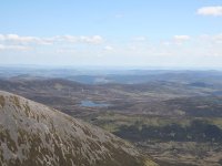
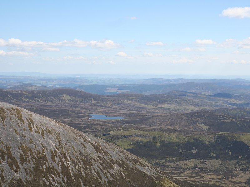
The view to the southeast, across
the descending ridge of Airgiod Bheinn. A few miles away is the lonely
Loch Valigan, the low hills just behind it hiding the road from
Pitlochry to Blairgowrie. Further beyond are the wooded slopes of Blath
Bhalg, the forsts of Clunie and Alyth, and ultimately the coast near
Dundee.
|

|
Ben Vrackie dominates this shot,
aimed just east of south.
|
|
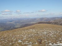
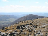
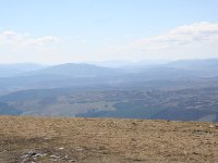
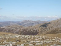
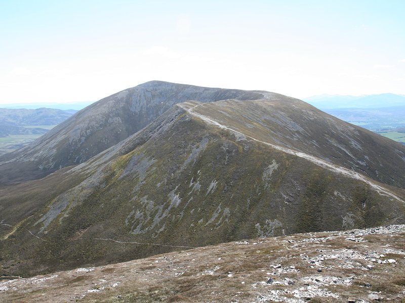
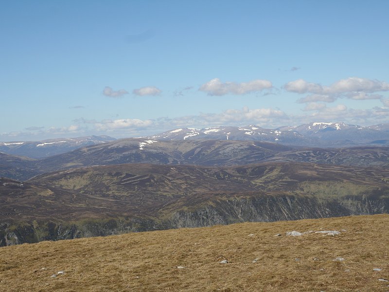
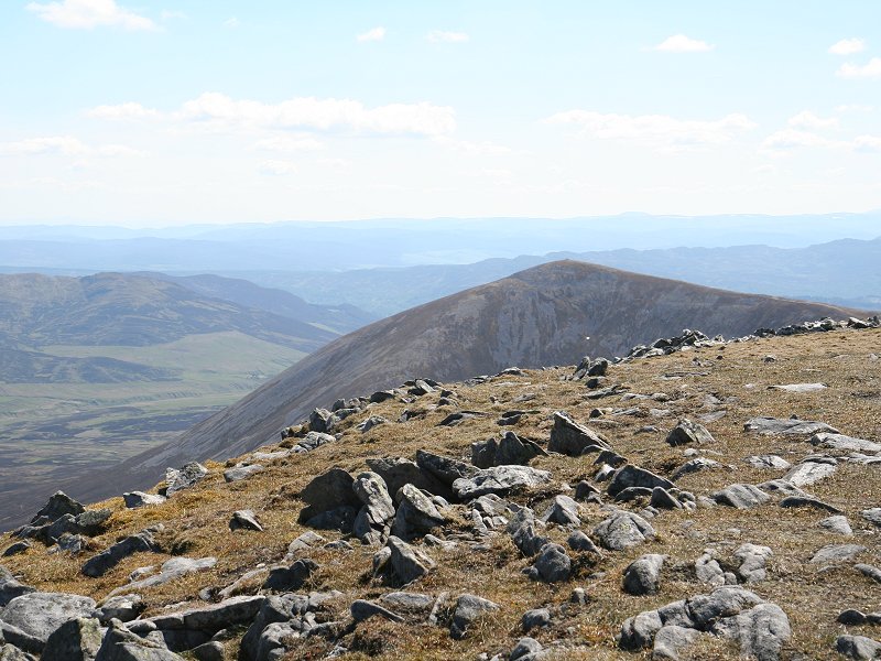
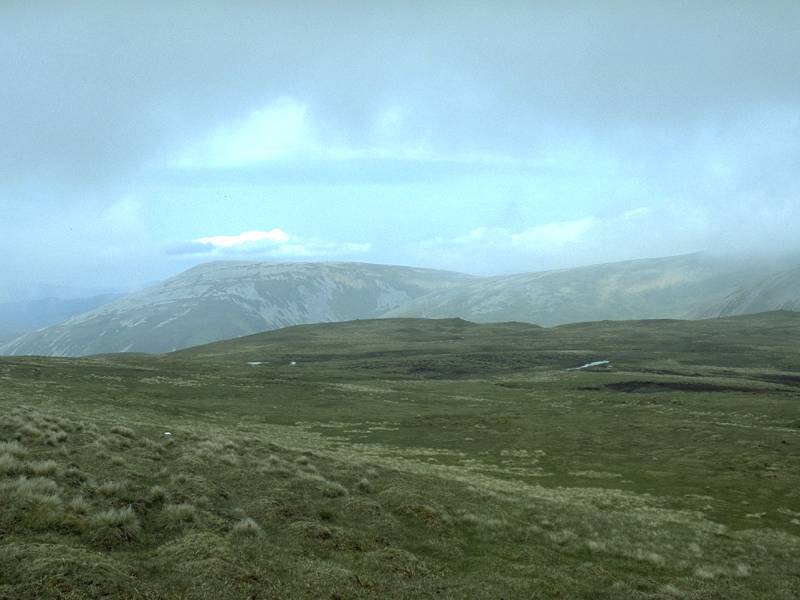
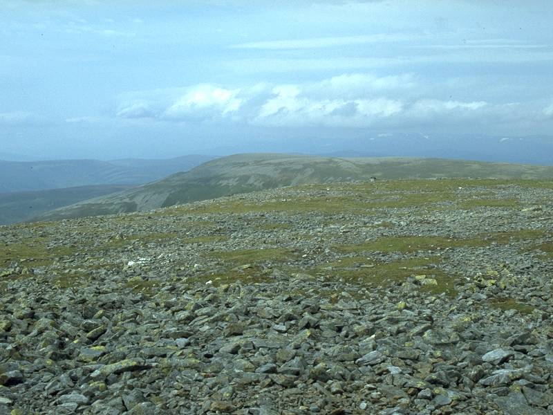
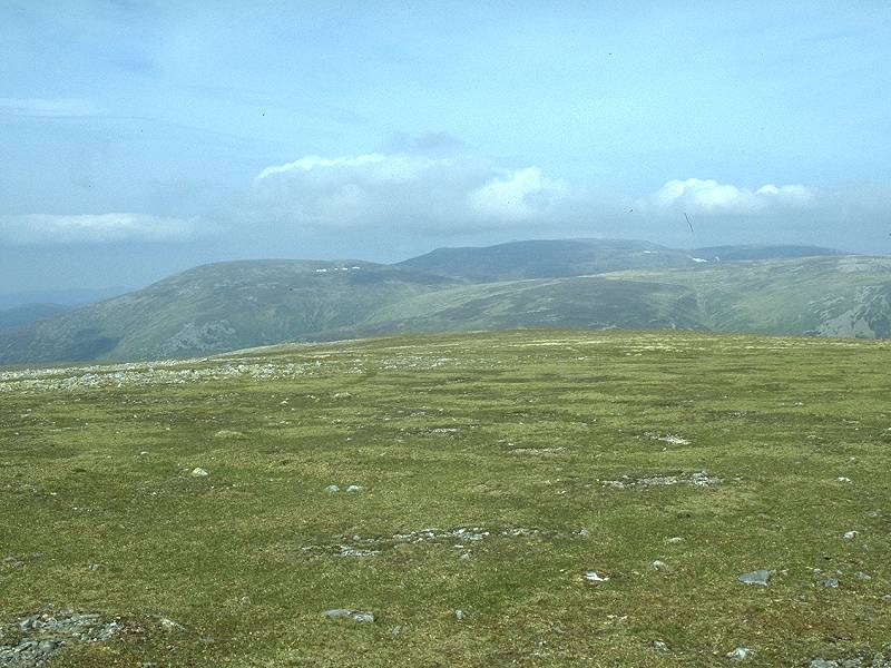
Looking just west of south towards
Carn Liath. The Perthsire hills lay beyond.
|
|
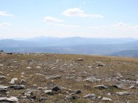
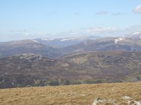
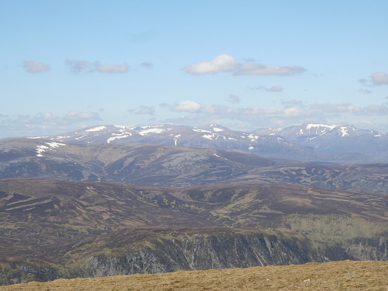
The view to the southwest; the Ben
Lawers group snd Schiehallion.
|
|
The west-southwest panorama is
particularly interesting. The dark hill some miles away on the left is
Beinn a'Chuallaich, above Kinloch Rannoch,. Look for the "V" on the
skyline just to its right; that's Glen Etive, 50 miles away, and you're
seeing the Blackmount to its left and the Glencoe mountains to its
right. If the day were clearer Mull's Ben More would show through the
"V". Loch Errochty is seen 18 miles away, in the same direction
as the "V" and below it.
|
|
Looking west-northwest across the
Gaick forest. The prominent hill about ten miles away to the left is
Beinn Dearg. On the skyline to the right are the Newtonmore Munros.
|
|
The northwest panorama; in the
foreground across Glen Tilt is Carn a'Chlamain. Beyond is the
wilderness of the Gaick forest, and on the skyline are the hills above
Newtonmore.
|
|
This is the north-northwest view.
To the left, the nearby peak with the pink screes on its summit is
Conlach Mhor, a top of Carn a'Chlamain. In the middle distance are Carn
an Fhidhleir (left) and An Sgarsoch (right). In the far distance is the
western massif of the Cairngorms including Mulach Clach a'Bhlair, Beinn
Bhrotain and Sgor Gaoith.
|

|
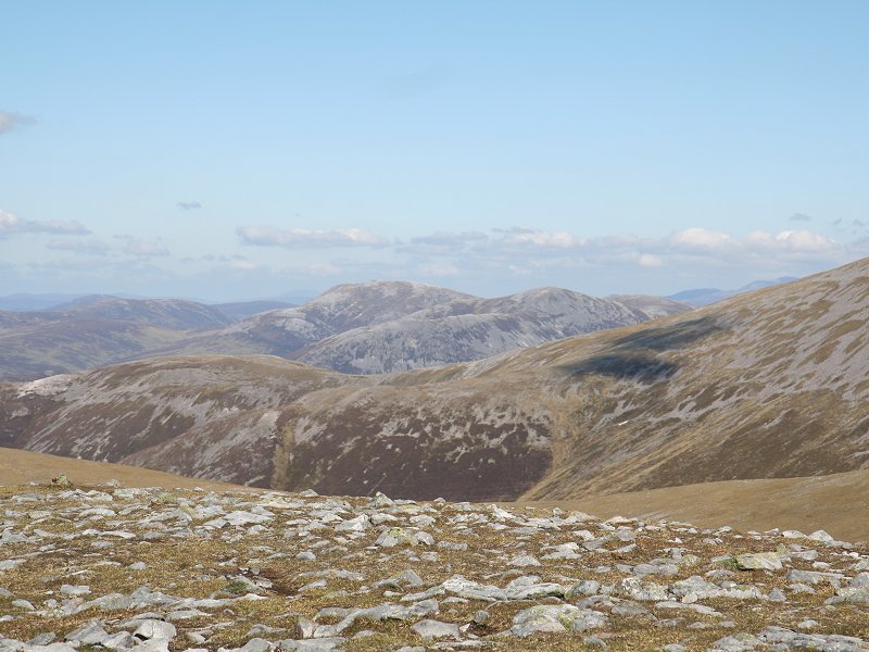
Back where we started, at the
central body of the Cairngorms
|
|
A final look at the western Mounth
hills, Beinn Iutharn Mhor and Carn an Righ. Lochnagar can just be seen peeking
above the rising ridge to the right. Just to the left of Carn an Righ
is a glimpse of Morven.
|

|
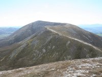
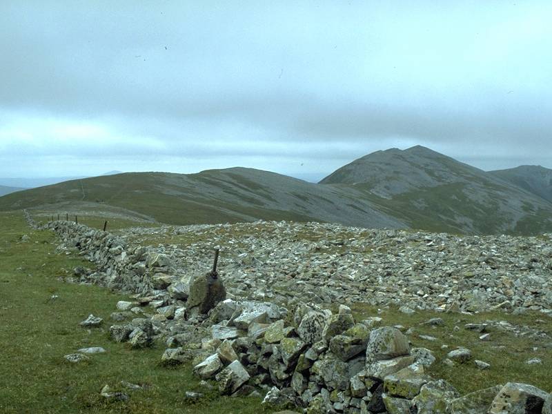
I had lunch at the top in the lee
of the summit cairn. Sortly afterwards I began walking back down to the
col, wandering off the path for a more direct route. Carn Liath is
straight ahead.
|
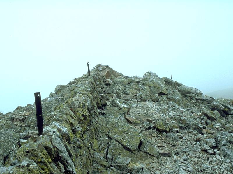
|
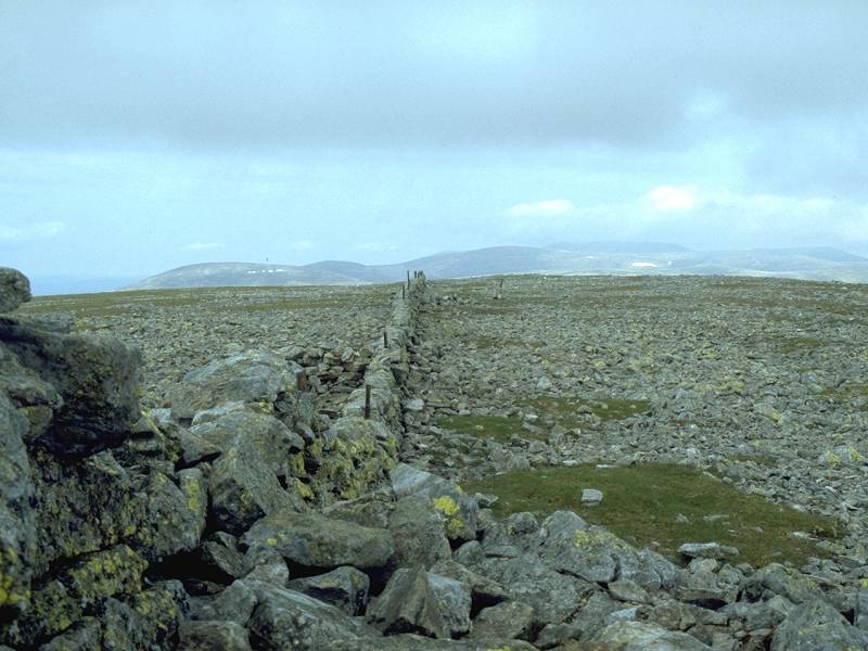
Back at the col, which is a little
stony.
|

|
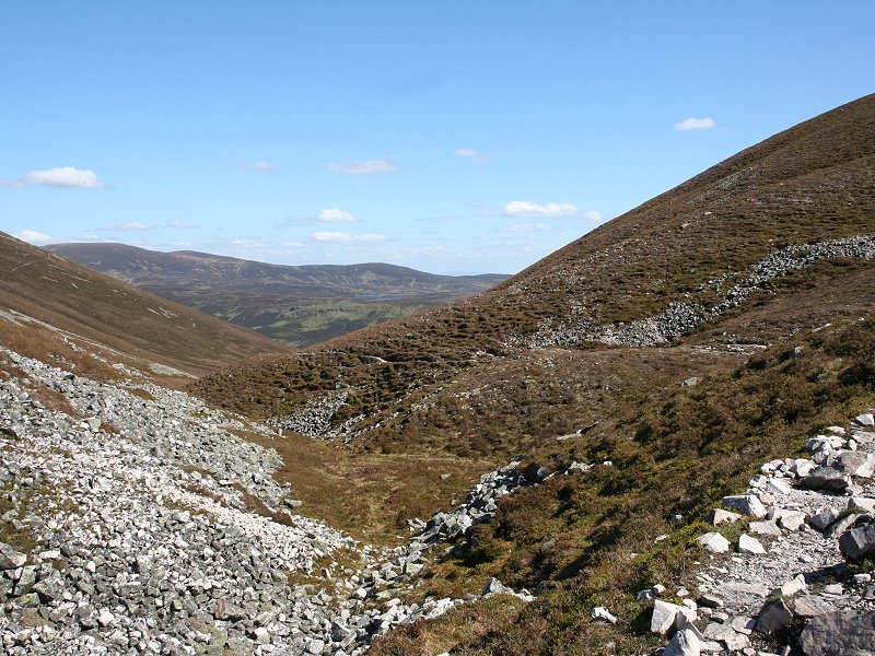
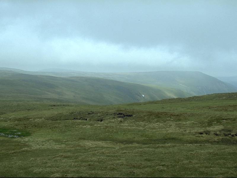
This is Coire na Beinn Bige,
heading off to the east. The path looked inviting and I reasoned that
it must go somewhere; rather than reascend Carn Liath I decided to head
off along it to save myself some effort. The path is not shown on any
map and I did have some nagging doubts.
|

|
The corrie seen from the col.
|
|
The path proved top be a delight. I
strode along it to a minor col between Carn Liath and the minor top of
Beinn Bheag.
|
|
Here the path turned right but then
petered out. No matter; the terrain was benign (low-growing heather)
and I could see its continuation about half a mile ahead beyond the dip
of the Allt Coire nan Saobhaidh
|
|
Carn Liath loomed above as I
descended to the stream.
|
|
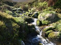
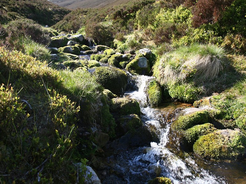
It was a steep descent for a couple
of minutes but the dell formed by the Allt
Coire nan Saobhaidh was lovely. I stopped here for a ten minute rest
and partook of the deliciously cold and refreshing water in the stream.
|
|
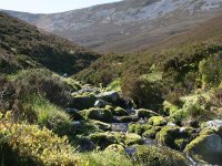
Another view of Coire nan Saobhaidh. |
|
Looking back to an end-on view of
Airgiod Bhenn.
|

|
The path wound round the
southeastern shoulder of Carn Liath, where it started go get a bit
sketchy. That's the view to the southeast; the farm of Shinagag, with
the bulk of Ben Vrackie behind and to the right.
|
|
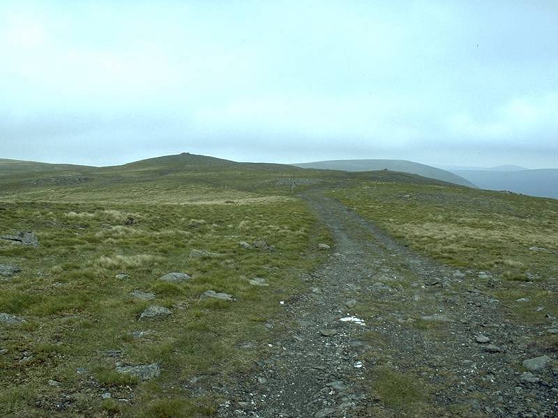
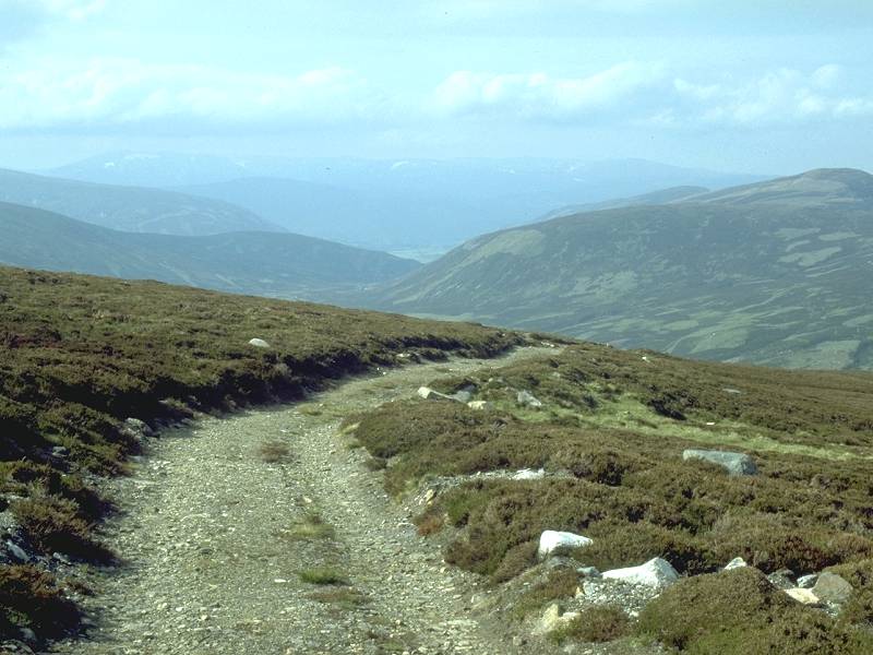
The path did eventually peter out,
though I could see the estate track only a couple of hundred yards to
my left. It was the work of just two or three minutes to stride through
the heather to reach it.
|
|
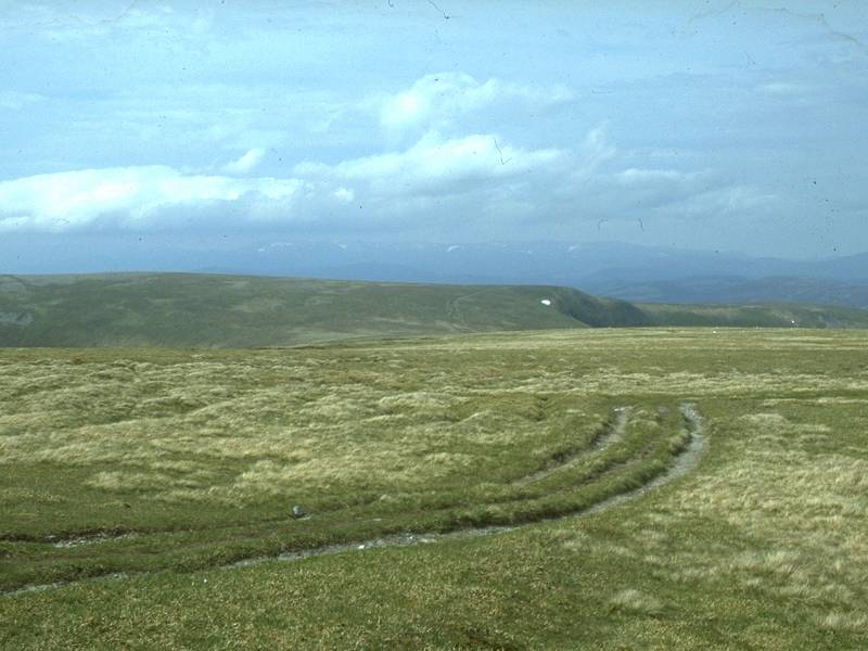
The little ridge above Loch Moraig.
|
|
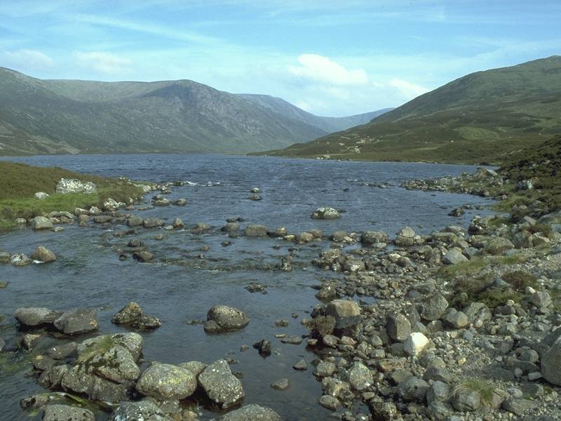
Loch Moraig. Not for the first time
I reckoned that this would be a wonderful spot for a dream cottage.
|
|
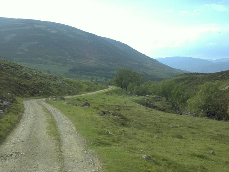
I passed Loch
Moraig and started off down the road to Blair Atholl. Three years ago
I'd been given a lift once I'd got about three quarters of a mile along
the road, and I was pretty amazed when the same thing happened again,
from almost the same spot. Within five minutes I was back at the Atholl
Arms hotel for a good meal and a rest.
|


