 |
I took the morning Glasgow bus from
Arrochar,
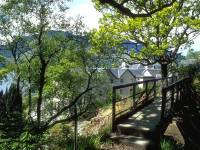
alighting at Inverbeg about 5 miles away. From here I took the first of
the day's three ferry crossings across to Rowardennan. The hotel owner
was piloting the ferry. Ben Lomond filled the view as I began the walk
north from the Rowardennan ferry pier. |
 |
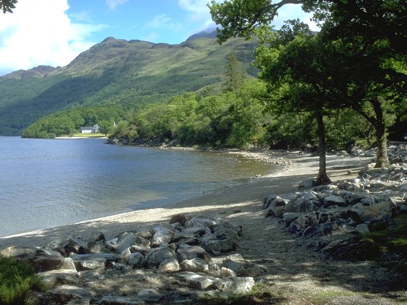
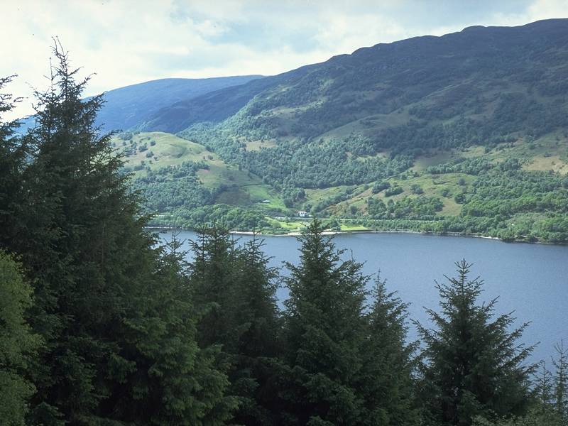
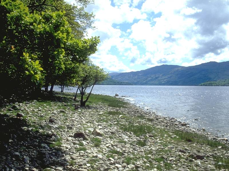
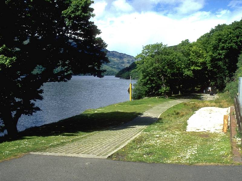
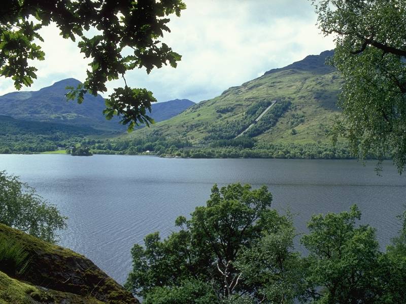
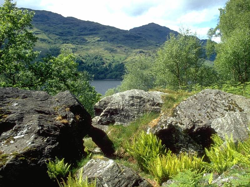
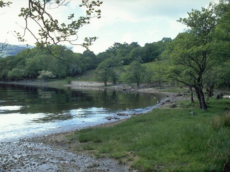
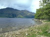
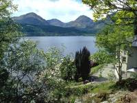
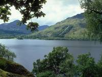
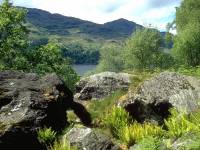
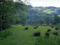
Looking along the length of Loch
Lomond from
the bay north of Rowardennan. |
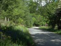 |
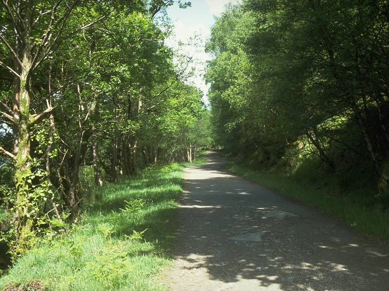
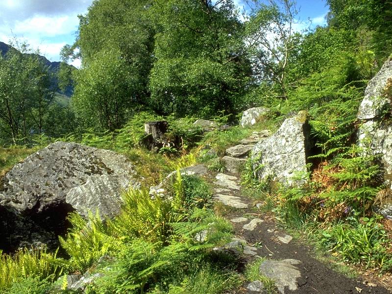
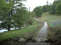
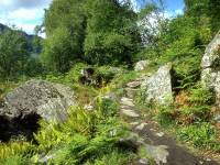
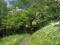
The West Highland Way runs along
this pleasant
drive north of Rowardennan, passing a handful of scattered houses. |
 |
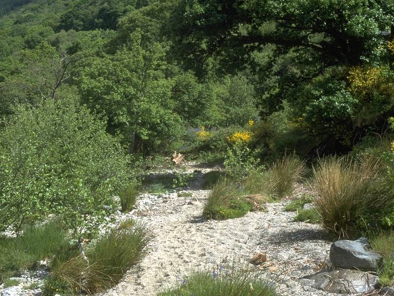
The drive runs out and the route
fords a
stream to enter forest once again. |
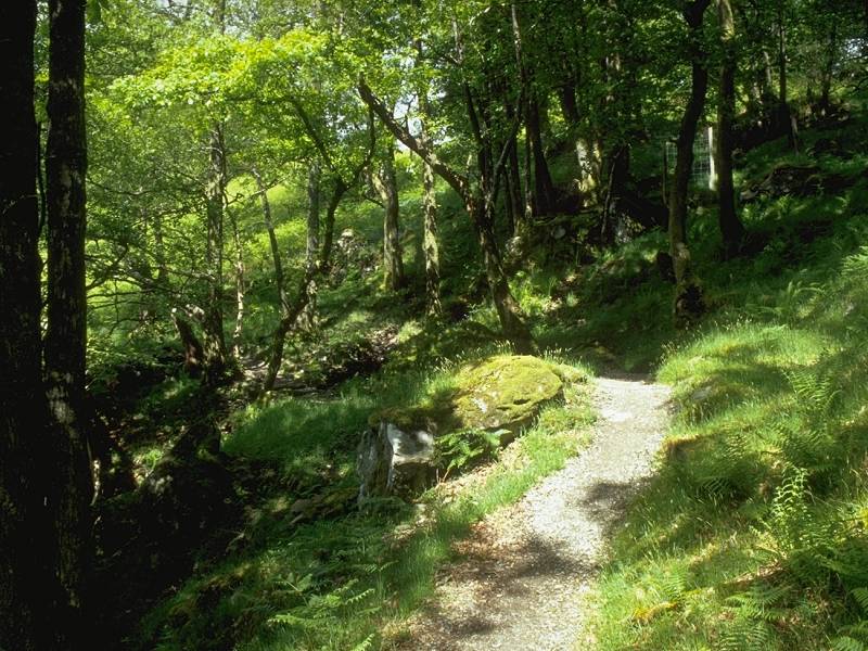
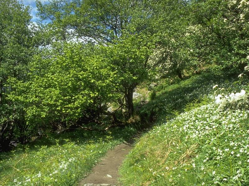
 |
This area is known as the "Yet of
Ptarmigan",
a headland formed from the western slopes of Ben Lomond. The Way forks
into two alternatives, a low level route through the wood near the loch
shore, and this high level route along a forest ride some 200 ft above
the loch. |
 |
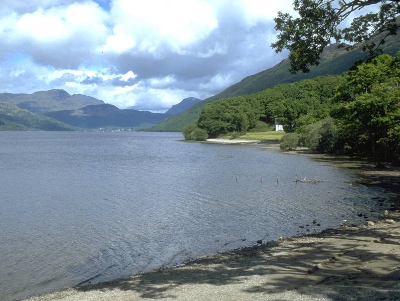
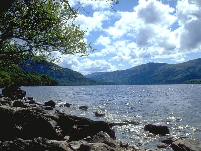
From up here there's a good view
back across
the loch to Inverbeg... |
 |
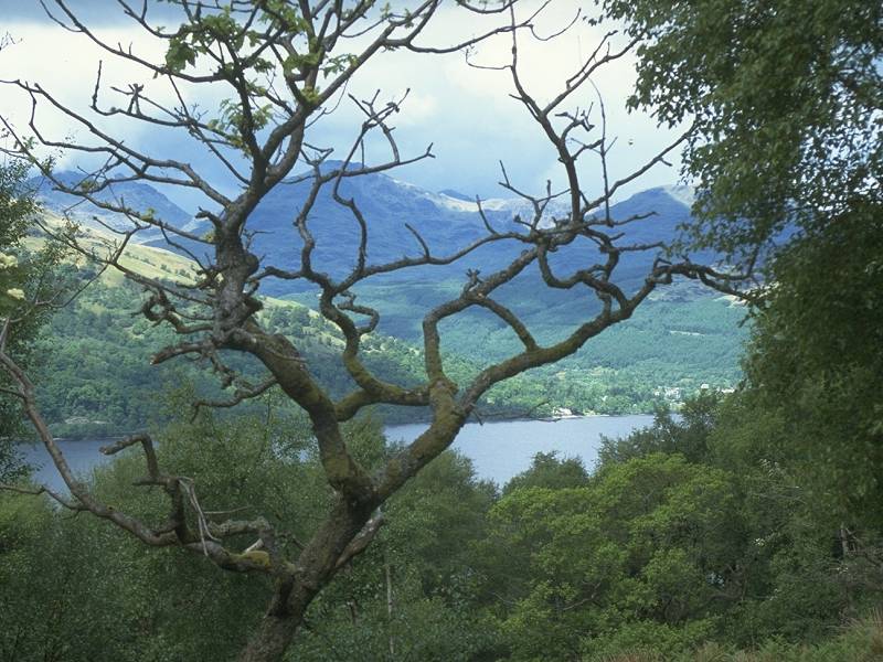
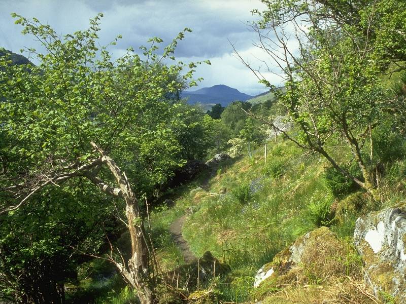
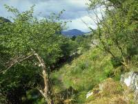
...and northwest across the loch to
Tarbet.
Beinn Narnain is left of centre, Beinn Ime to the right. Part of Ben
Arthur
(also known as the Cobbler) is seen to the left of Narnain. |
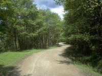 |
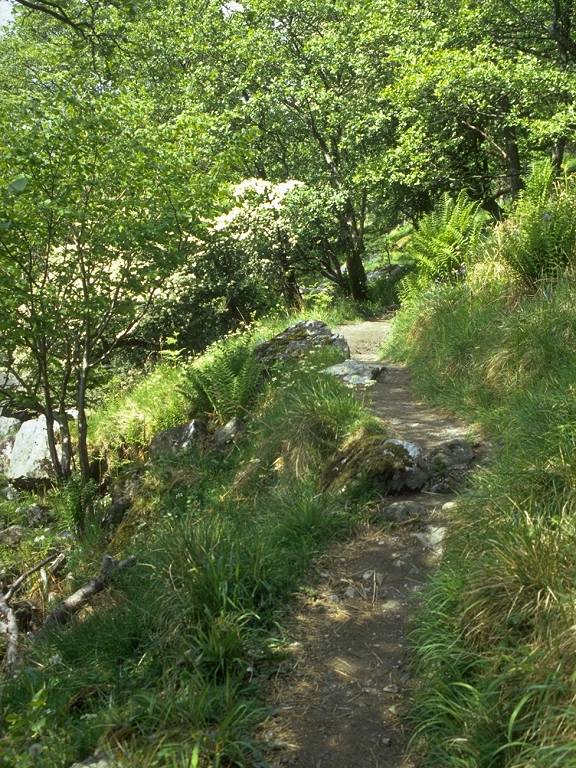
The forest ride continues for about
2 miles
and gives good walking or cycling. |
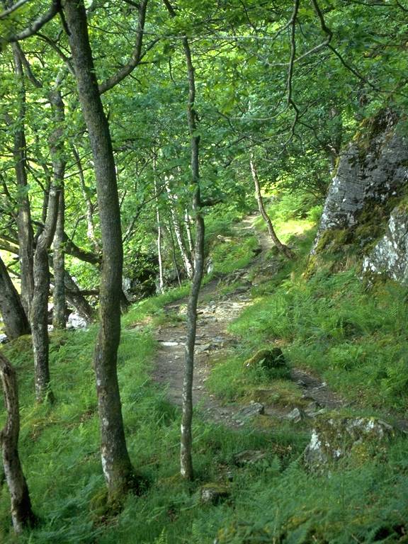
 |
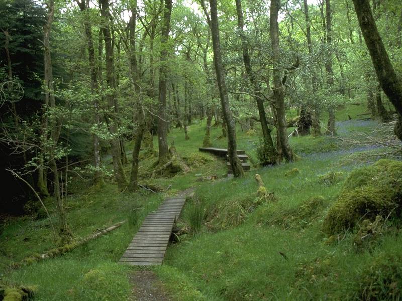
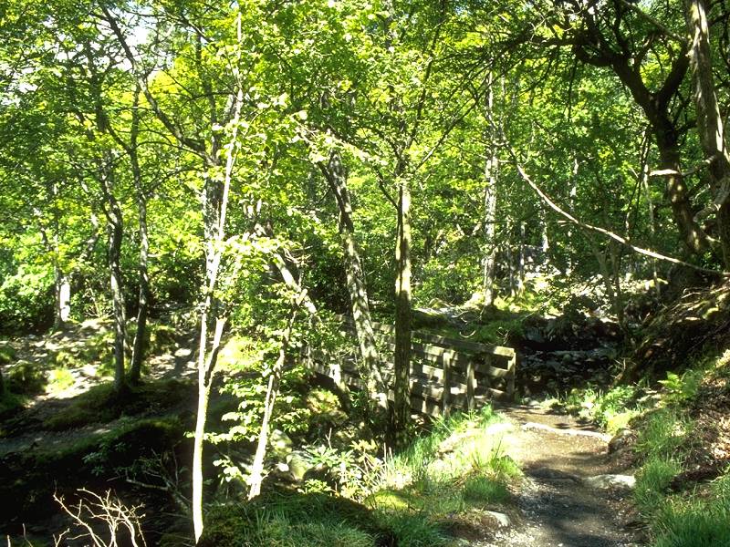
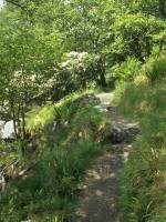
This is the low level route. I
didn't enjoy
it very much. This is mature forest and you experience a "shut-in"
feeling.
The terrain is poor also, as evidenced by these sections of planking to
carry the path over boggy bits. |
 |
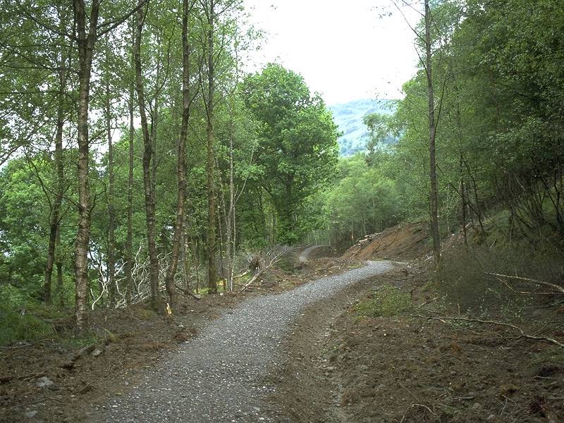
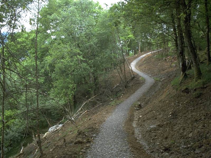
After the high and low level routes
merge,
the forest ride comes to an end and the Way continues along this
recently
improved "made" path fashioned from shingle. |
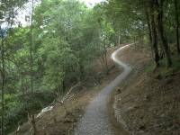 |
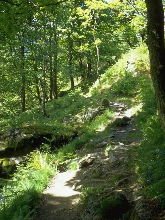
The made path is rather more
challenging
than the forest ride and involves some quite steep rises and falls.
Cyclists
would need to take great care here. I found it significant that the sun
had disappeared now that the walking was harder. |
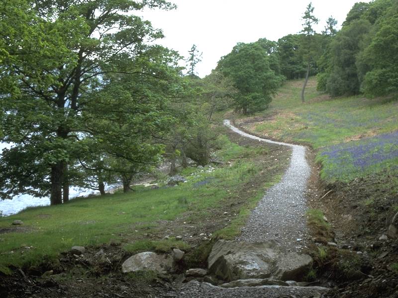
 |
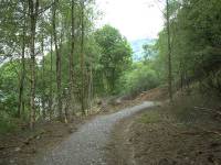
It takes a while, but the path
eventually
emerges into this open area south of Cailness. |
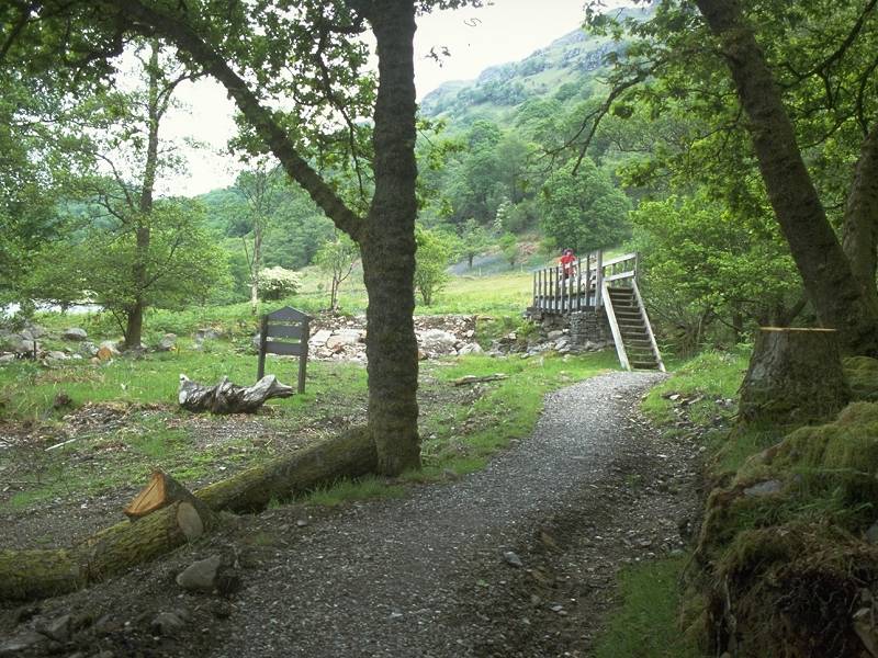
 |
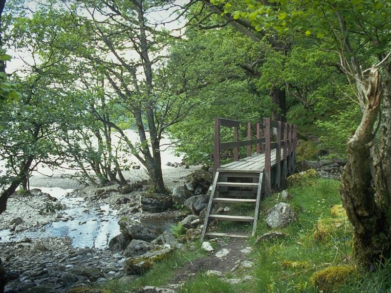
Cailness, when you reach it, turns
out to
be no more than a single cottage off to the right. It's reached by a
rough
track over the hill. As the WHW crosses the footbridge ahead it leaves
the environs of the Queen Elizabeth Forest. |
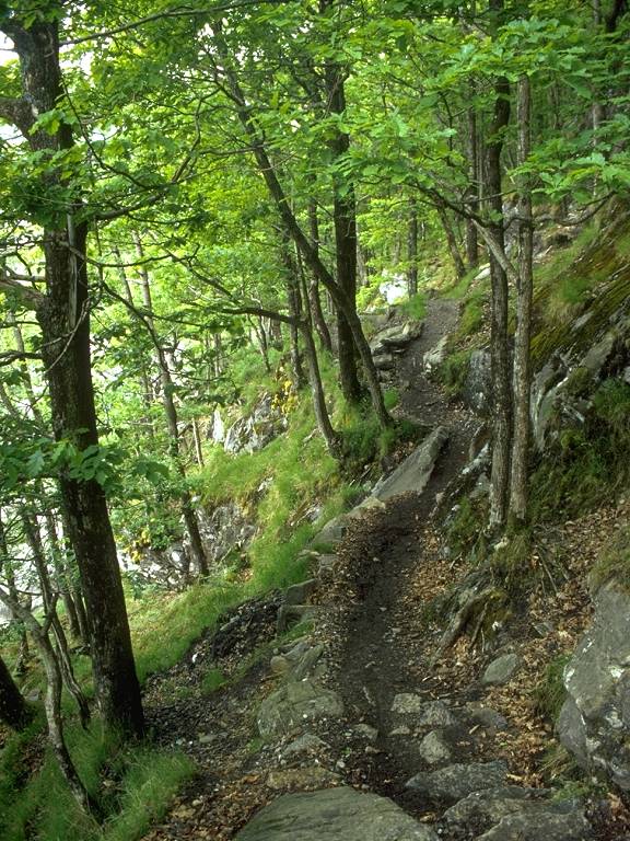
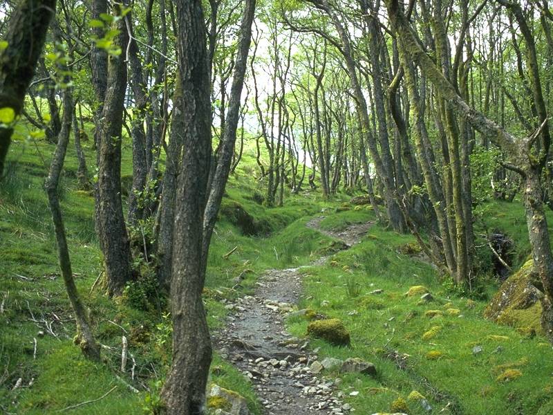
 |
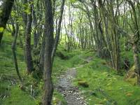
The "made" path has ended and for
the first
time the WHW is on a simple woodland path. |
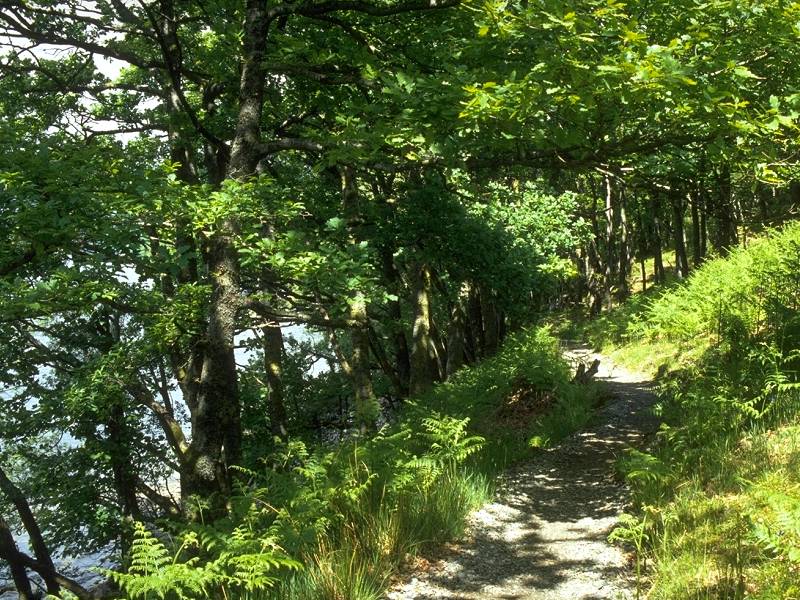
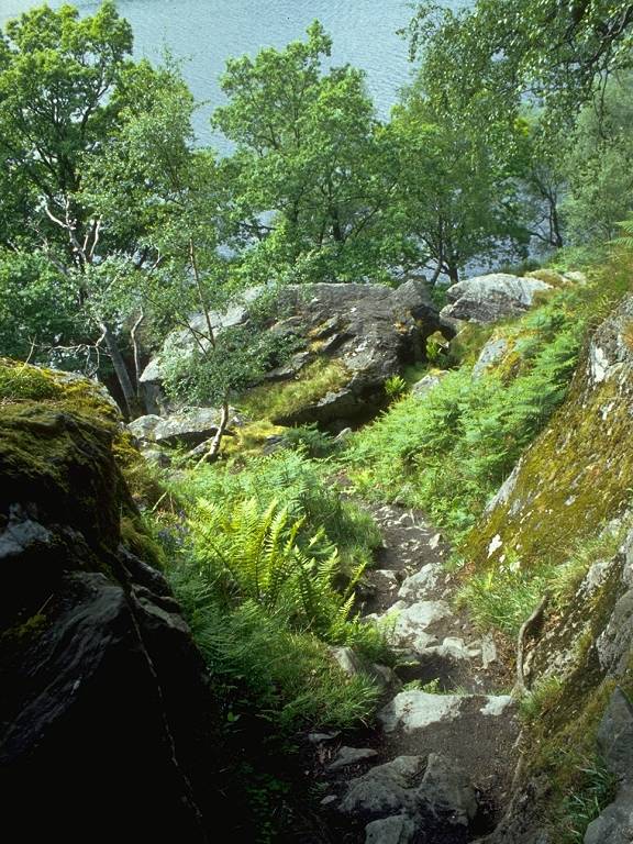
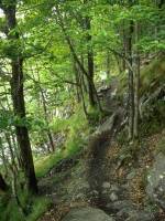
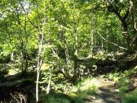
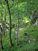
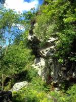
 |
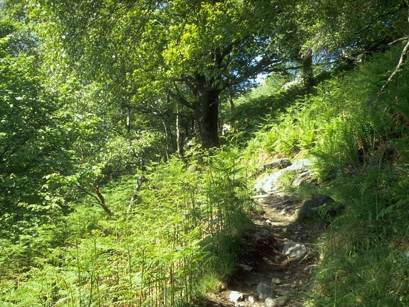
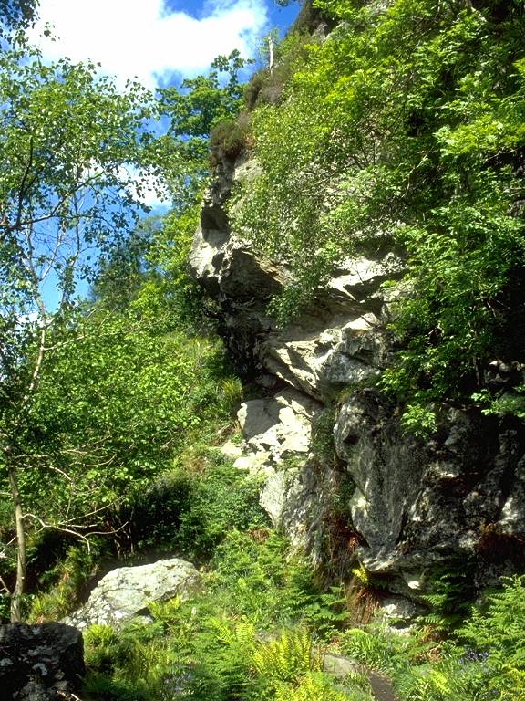
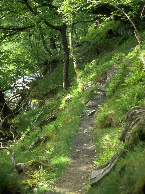
The woodland path is arduous in
places, involving
lots of rocky ascents and descents across outcrops. But for the tree
cover
this is much more like a mountain ascent route than a lakeshore hike.
At
least the sun has come out again. |
 |
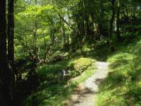
The path meanders towards and away
from the
waters' edge as well as rising and falling. |
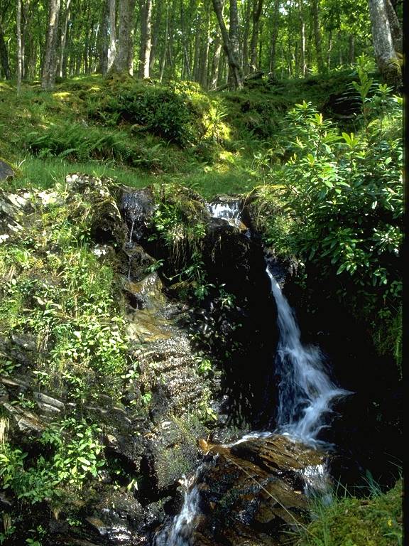
 |
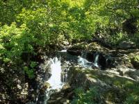
Now and again the path fords the
streams
falling from the hills to the east. This one forms a pretty little
waterfall. |
 |
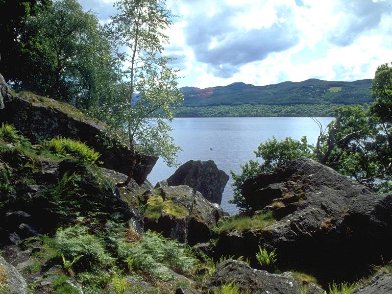
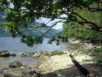
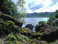
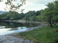
The path nears the lochside... |
 |
...to give this lovely view
northwest across
the loch towards Inveruglas. You can see the pipelines of the
hydroelectric
power station from here. |
 |
From the same point. the view
across the
loch to the southwest. |
 |
Slightly further north, and from
the site
of my morning refreshment break this is another view across the loch. |
 |
The view to the southwest again. |
 |
Almost without warning the West
Highland
Way emerges from the woods at the Inversnaid hotel. |
 |
Inversnaid lies at the western end
of the
Trossachs road coming over from Callander. It's almost incongruous
finding
an ostentatious hotel here in what, after the last few miles of forest
path, feels like the back of beyond. |
 |
The Way bridges the burn coming
down from
Loch Arklet.... |
 |
....seen here. |
 |
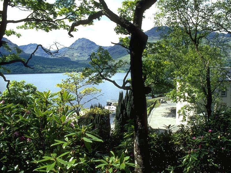
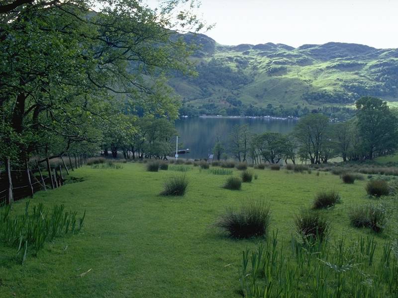
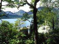
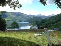
Specimen conifers in the grounds of
the Inversnaid
Hotel. The Munros of Ben Vane and Ben Vorlich are seen across the loch;
between them lies Loch Sloy, the lake that feeds Inveruglas power
station. |
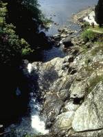 |
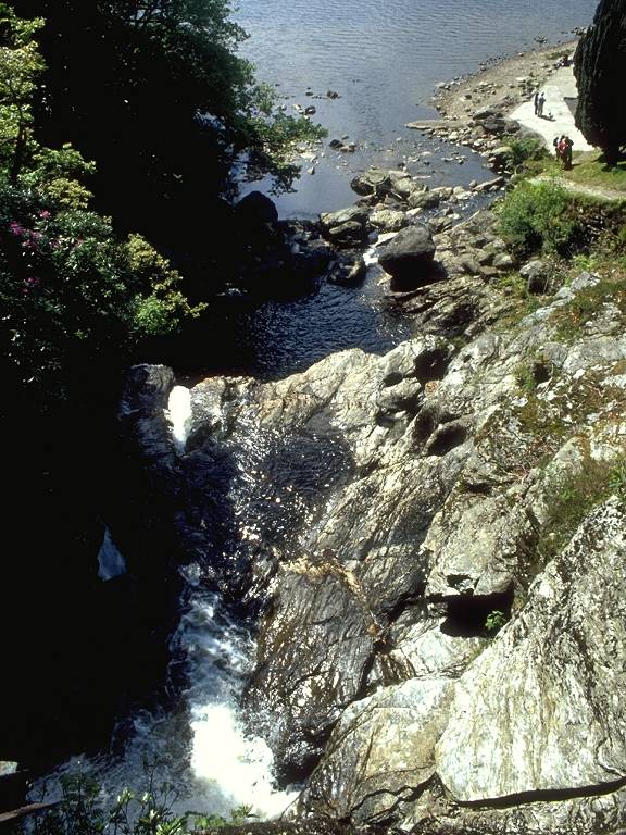
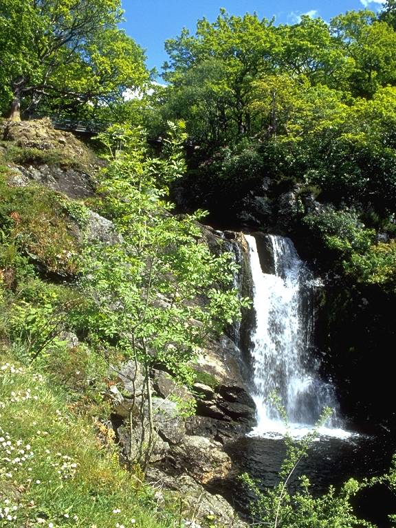
Just below the footbridge the
Arklet burn
crashes over a waterfall to the loch below. |
 |
The waterfall seen from the loch
shore. |
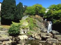 |
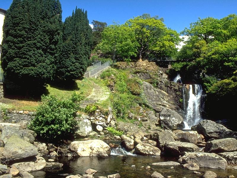
The hotel gardens and waterfall. |
 |
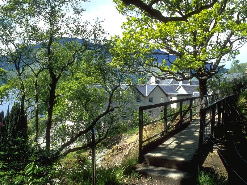
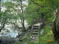
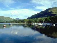
The West Highland Way loops around
the front
of the hotel |
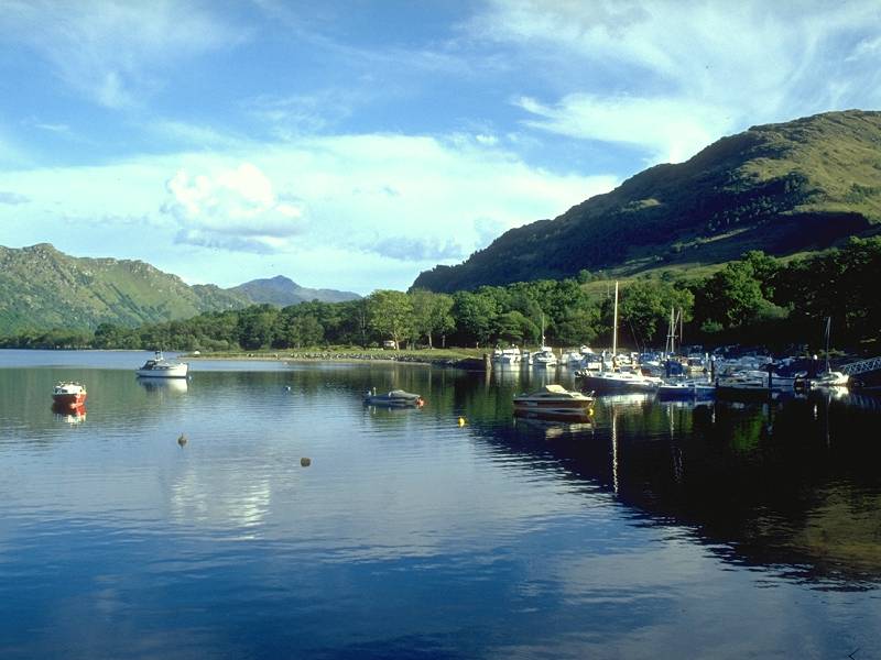
 |
...past the ferry pier, and into
the woods
beyond. |
 |
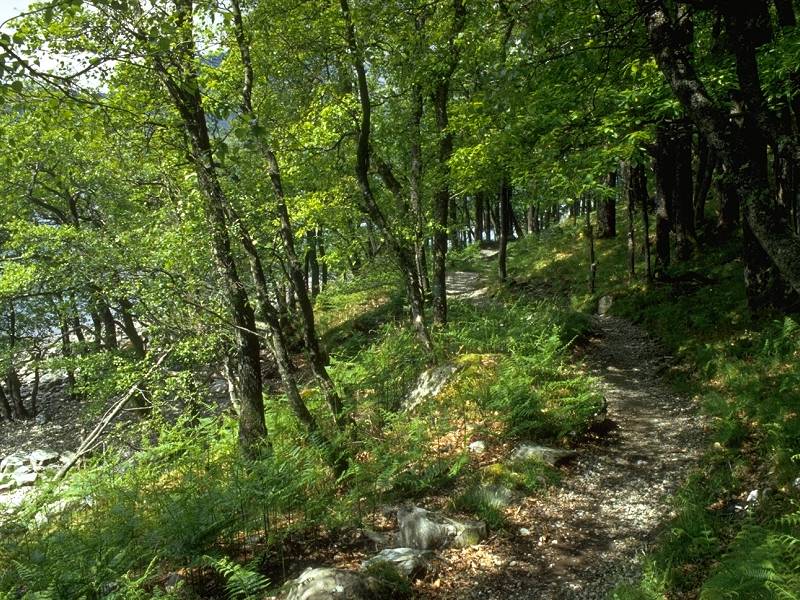
Civilization is left behind almost
immediately
and once again the path resumes its somewhat arduous rises and falls. |
 |
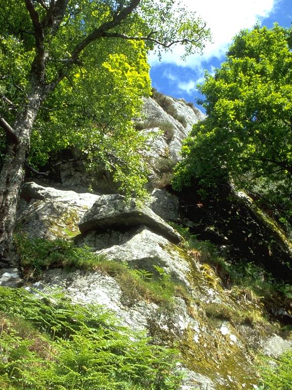
A mile north of the hotel is one of
the Way's
trickiest sections, the headland of Sron Uaidh. |
 |
The path beginning a relentless
rise over
a particularly rocky section |
 |
Still going up... |
 |
...and up... |
 |
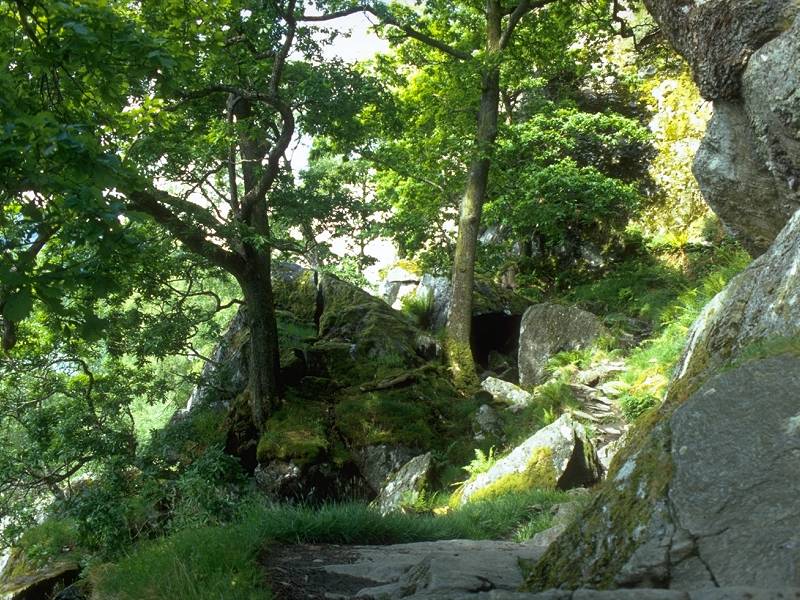
...to reach the high point of the
path, a
couple of hundred feet above a massive jumble of rocks known as Rob
Roy's
Cave. |
 |
Looking back across the loch
towards Beinn
Narnain. |
 |
Rob Roy McGregor, an
eighteenth-century folk
hero, reputedly lived rough in this area during his outlaw years. The
rocks
in this boulder field approach the size of family cars and the route
across
and down is a tricky scramble requiring care. |
 |
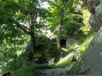
As the Way descends the north side
of the
boulder field, a side trail heads south into the jumble of rocks
towards
Rob Roy's Cave itself. |
 |
It's a scenic gem, but a walking
nightmare. |
 |
Deciding that I'd rather have both
ankles
intact I abandoned all efforts to find the cave and scrambled back to
the
route of the WHW |
 |
Reaching the end of the boulder
field |
 |
The northern extent of the rocks
and a view
back across the loch. |
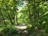
 |
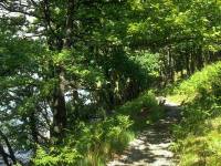
The route continues northwards,
sometimes
in benign mood like this... |
 |
...but more often continuing to
rise, fall
and twist to avoid rock outcrops. The going is tedious. |
|
The sun was continuing to play
hide-and-seek,
and it was notable that it always disappeared during the more difficult
bits. Here the path is in the locality of Pollochro. There's nothing
there,
not even a ruined cottage. |
|
At this footbridge the Way crosses
from Stirlingshire
into Argyllshire. |

|
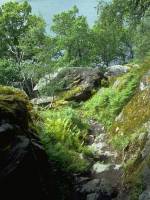
Some of the trickiest terrain of
the day
is found in the Argyllshire section. This is one of the more benign
bits.
There was quite a spectacular wooden viaduct constructed across the
face
of a near vertical waterslide, that I wasn't able to photograph. It's
not
at all evident how hikers could have tackled this part before the
walkway
was constructed. |
|
Suddenly the difficulties end and
the Way
emerges onto this flat pastureland just south of the knoll of Creag a
Mhadaidh,
seen ahead. |

|
The route of the Way veers to the
right (east)
of the knoll and loses sight of Loch Lomond. |
|
A pleasant woodland path crosses
the col
between Creag a Mhadaidh and Maol an Fhithich, to the right. |
|
The path descend from the col and
emerges
north of the Creag a Mhadaidh to reach the isolated farmstead of Doune,
seen here. |
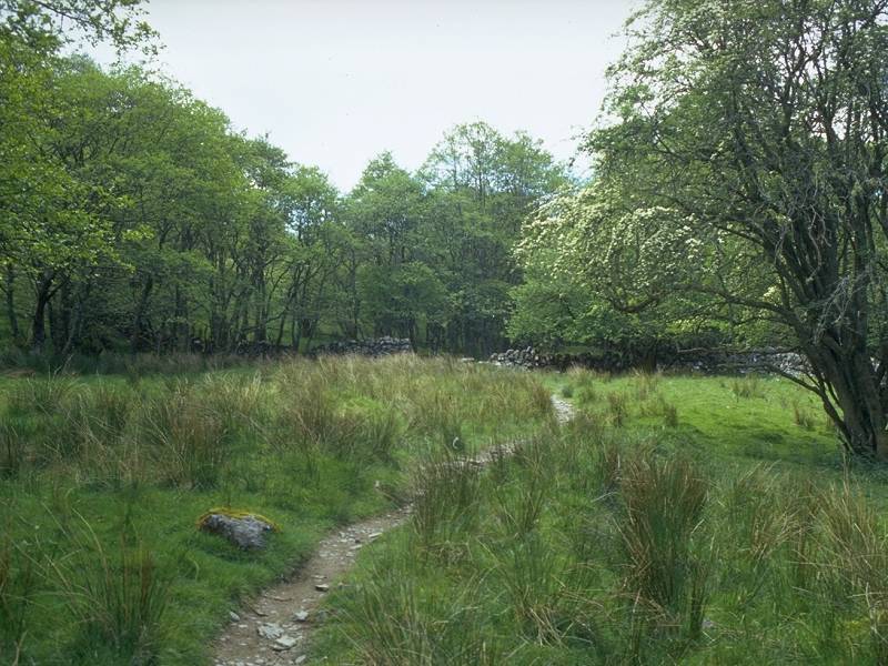
|
North of Doune is a world of water
meadows
and intermittent tree cover. |
|
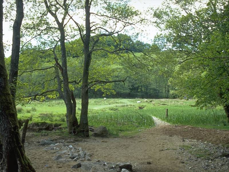
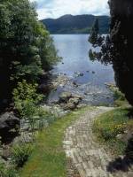
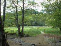
Just north of a wood the Way
emerges into
this pasture. I left the Way here to catch the Ardlui ferry, which
leaves
from the shoreline at this point. The ferry is summoned by raising a
red
ball to the top of the mast seen near the waters' edge. |
|
The view back across the loch from
Ardlui
(this image strictly belongs in the Arrochar section, but who's
quibbling?).
From here I caught the train one stop back to Arrochar, though I had a
wait of nearly two hours. |