 |
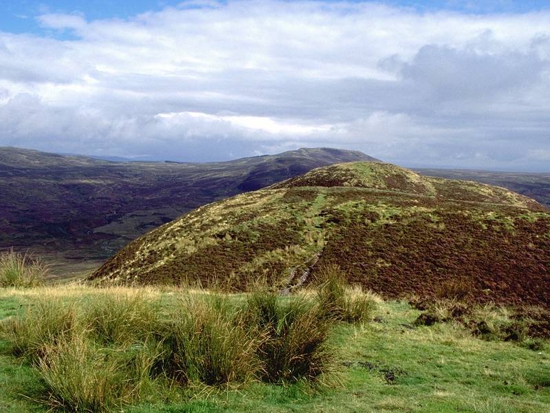
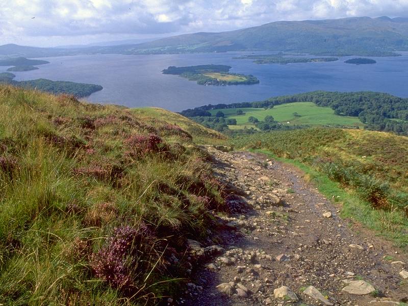
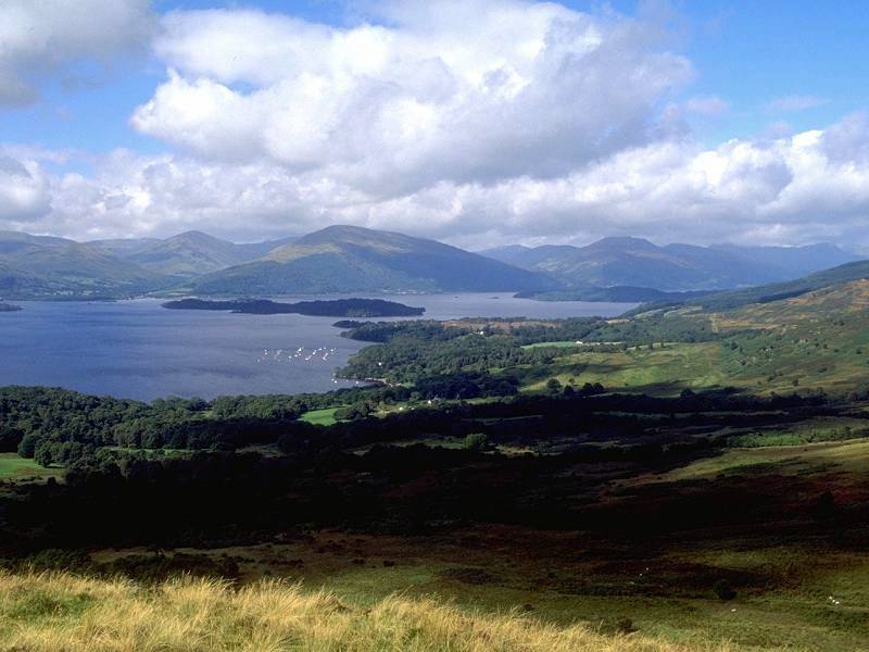
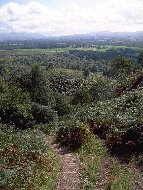
The West Highland Way crosses the Highland Boundary Fault somewhere around here, in the vicinity of Conic Hill (elevation approx. 1200ft). This is the path up to the summit from Mar burn. |
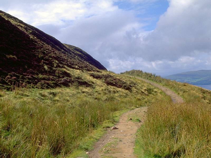 |
The route of the West Highland Way passes to the north of the hill's three principal summits, but a slightly sketchy path runs up the heather-clad slopes to the col between the central and the southwestern top. |
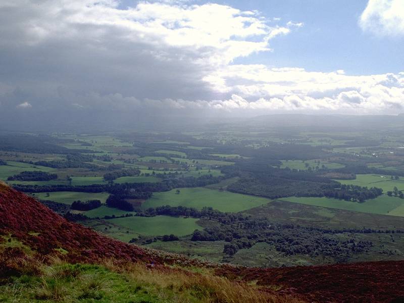 |
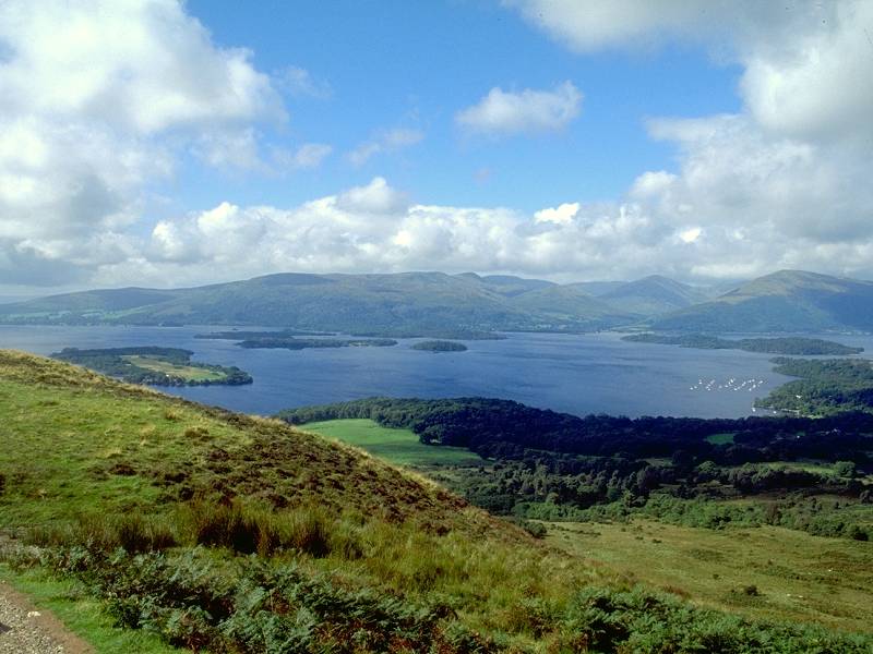
The view southwards over the plains of Lanarkshire and Dunbartonshire, from the middle top of Conic Hill |
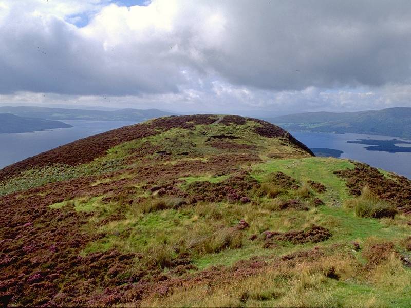 |
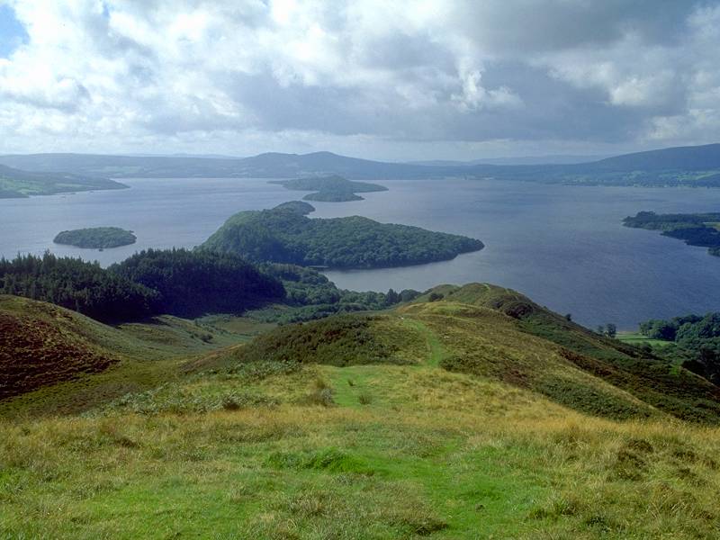
The southwestern top of Conic Hill from the middle top. Loch Lomond is seen beyond. |
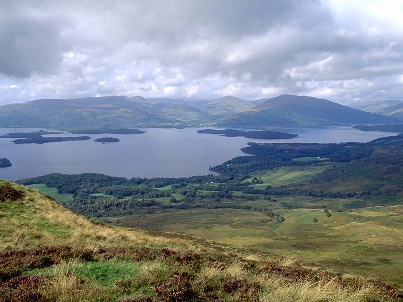 |
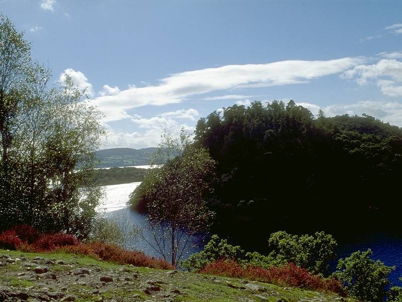
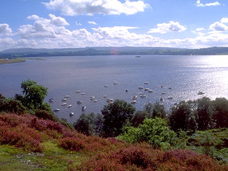
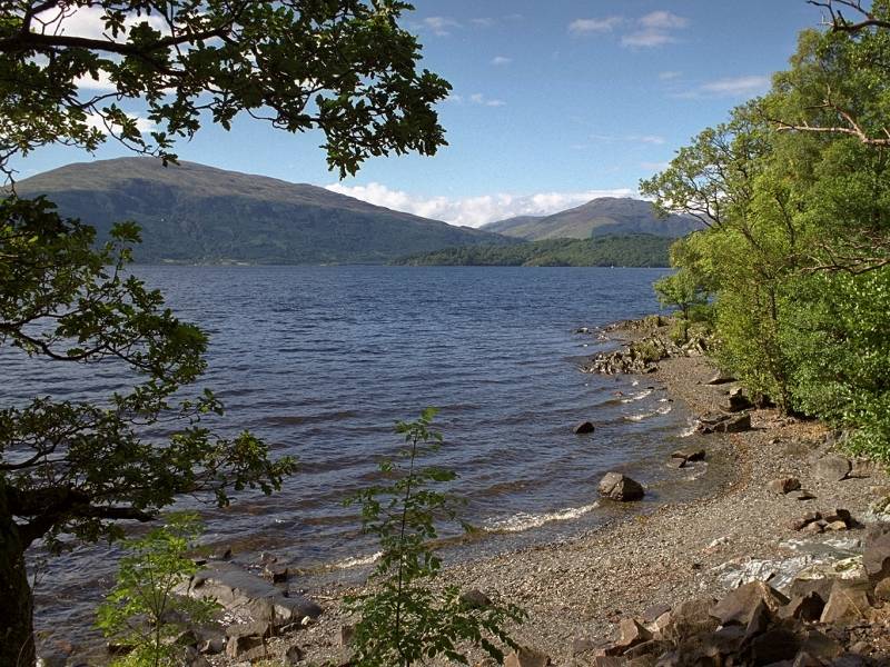
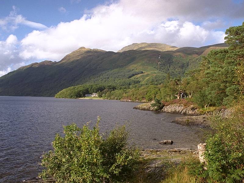
The view across Loch Lomond northwestwards. The village of Balmaha is seen about two miles away, while Glen Luss is prominent on the other side of the loch. |
 |
Conic Hill - looking back at the middle and northeast tops from the southwest top. |
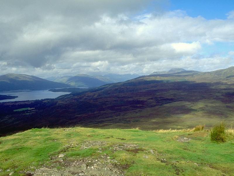 |
Looking northwards, with Ben Lomond to the right. |
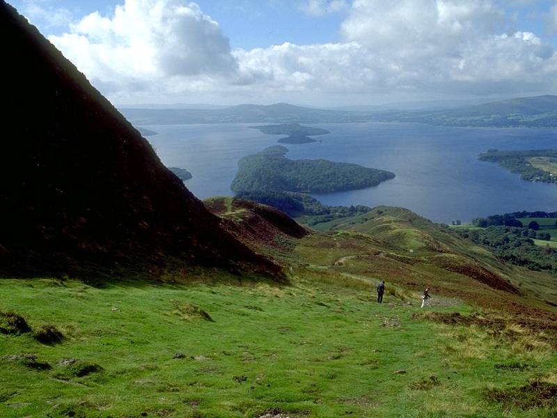 |
I've come off Conic Hill and have rejoined the West Highland Way, seen here rounding the shoulder of the southwest top. |
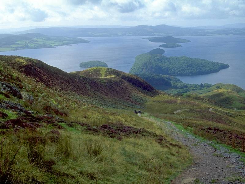 |
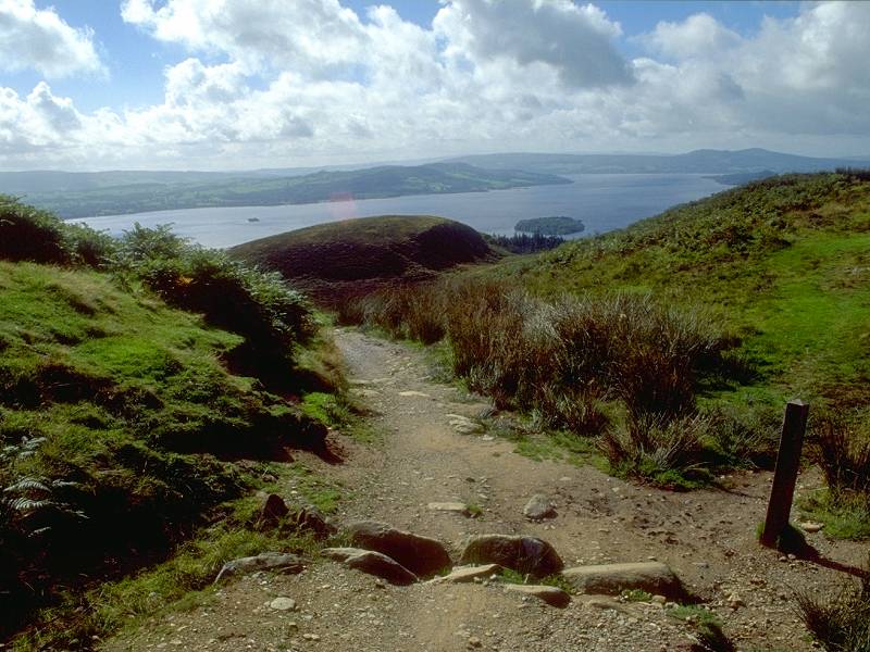
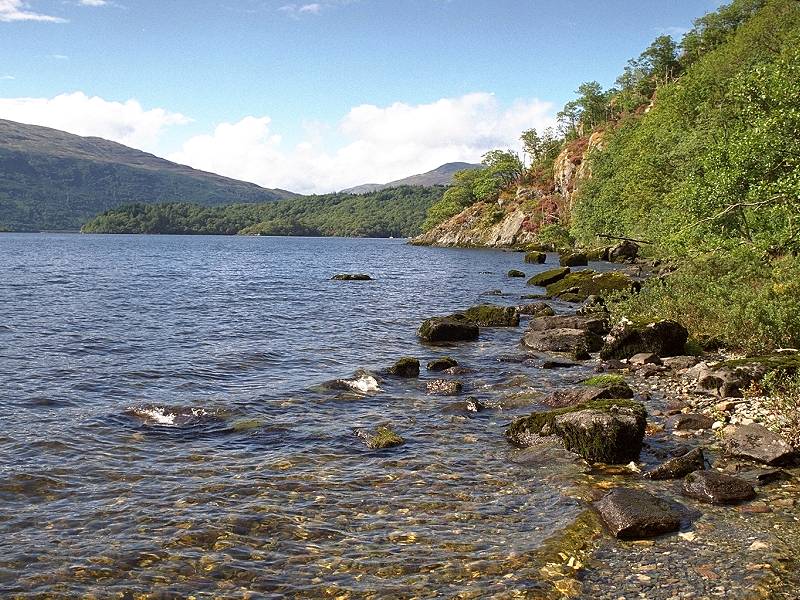
The route comes to this picturesque little col, known as Bealach Aird, which separates Conic Hill from its outlier of Tom nan Oisgean. A series of islands, notably Inchailloch, Torrinch, Creinch and Inchmurrin, appear in line from here. |
 |
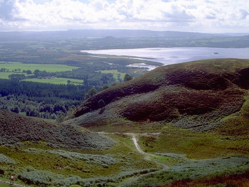
Looking south from Bealach Aird towards Balloch. |
 |
Loch Lomond from Bealach Aird. With such superb lighting following the gloomy climb from Mar Burn I was determined to get as many good shots as possible. |
 |
Bealach Aird, with a footpath marker confirming that this is still the west Highland Way, in case anyone was in doubt. |
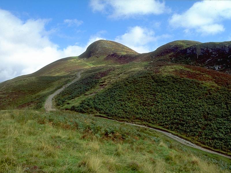 |
Conic Hill's shapely summit domes seen from the bealach. |
 |
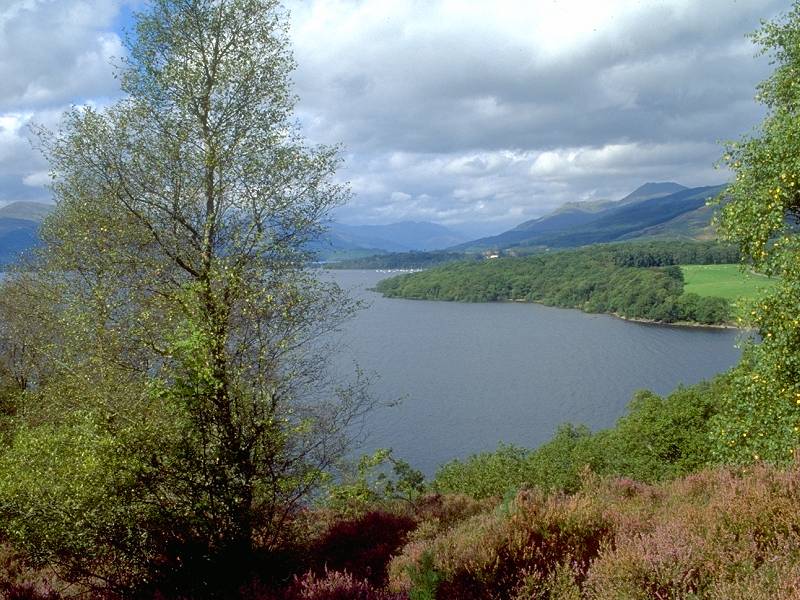
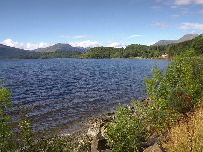
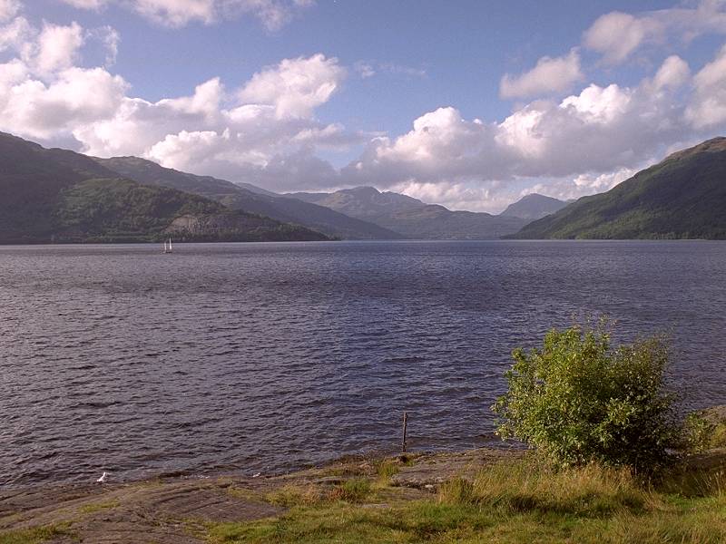
The glorious view northwards along the length of Loch Lomond... |
 |
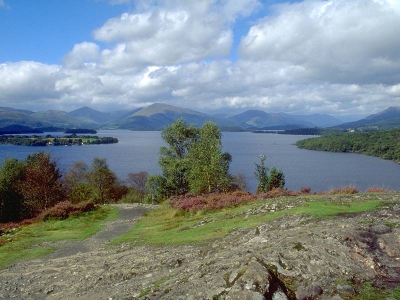
...and the equally glorious view across the loch to the southeast. |
 |
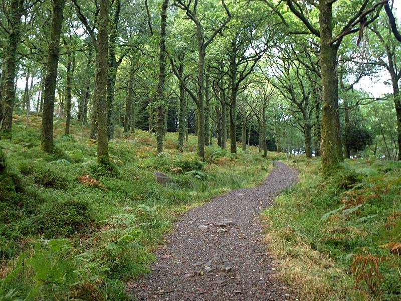
The path that descends from the bealach crosses an area of lumpy terrain typical of glacial moraine scenery. The route is a bit uncertain here as the path subdivides several times. Most of the alternative routes peter out but nearly every one gives yet another superb view. |
 |
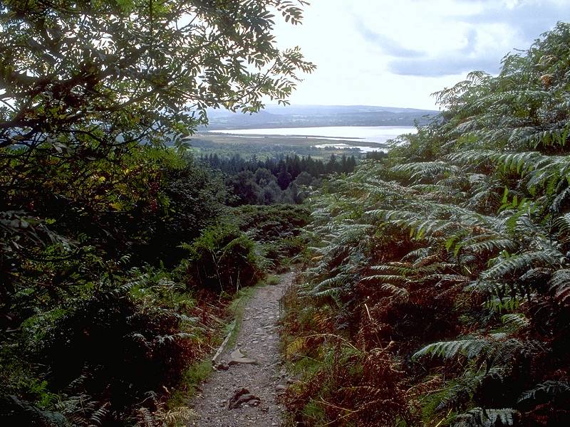
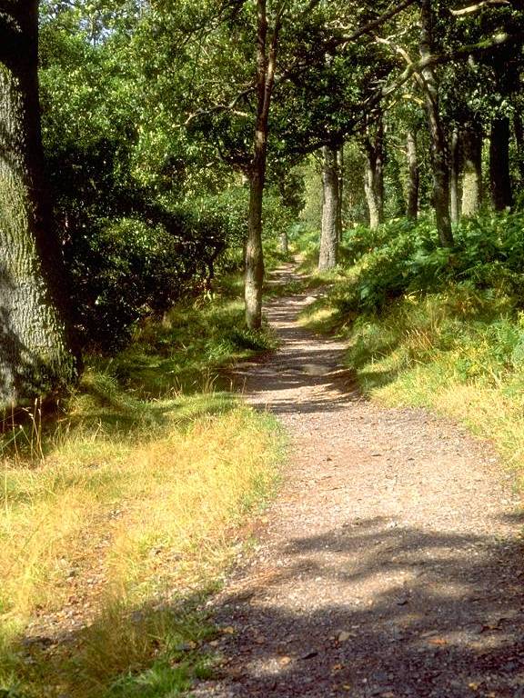
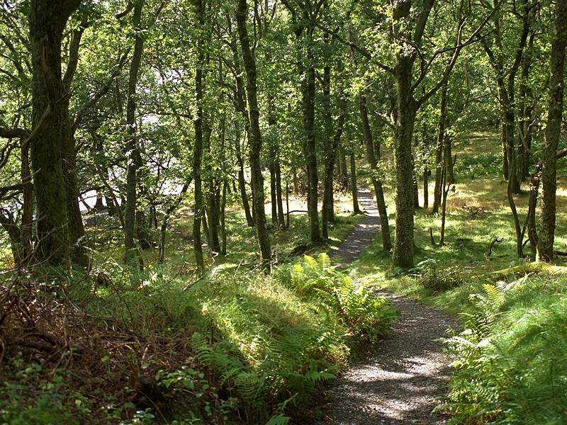
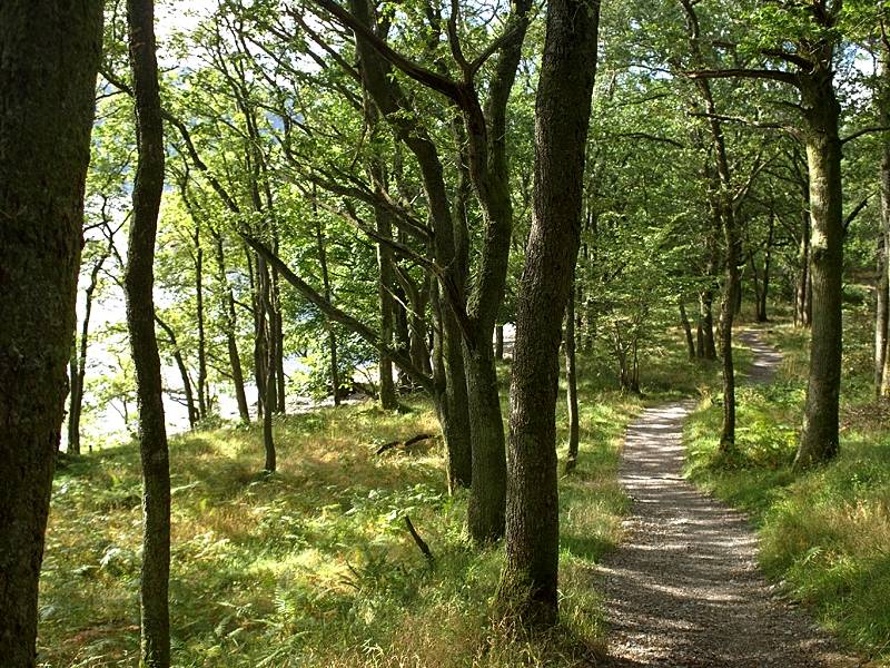
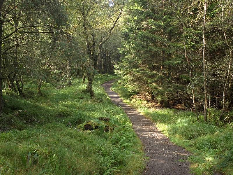
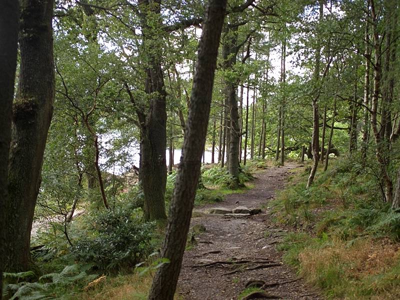
The path rounds the southern aspect of Tom nan Oisgean and approaches a patch of original Caledonian forest. |
 |
Artificial steps cut into the path here don't exactly contribute to the "wilderness" feel of this walk, but one has to admit that they are welcome. The drop into the forest section is steep and I was glad I wasn't ascending this. |
 |
Loch Lomond glowing in the late morning sun as I descended through the forest. |
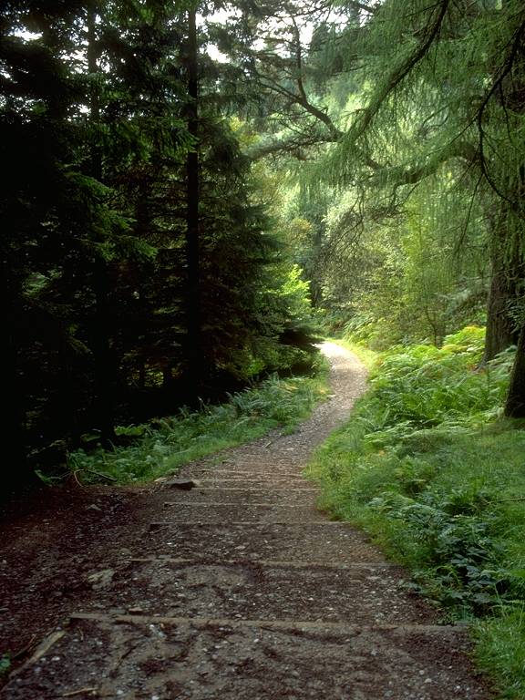 |
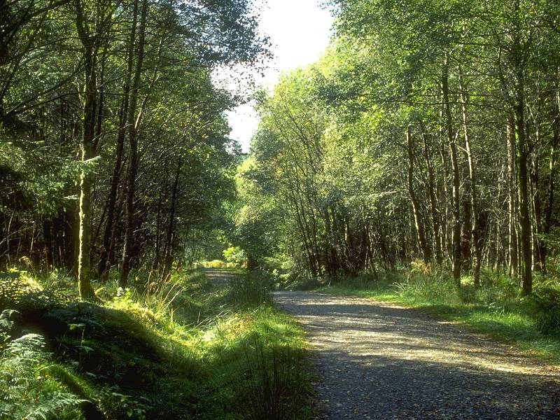
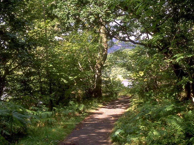
The route levels out and enters Balmaha Plantation, an artificial forest. Fortunately the rides are wide enough to allow plenty of sunlight and the walk is pleasant. |
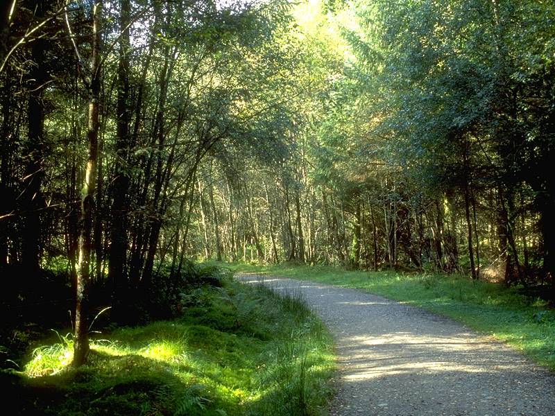 |
The route twists and turns somewhat as it makes use of successive vehicle tracks to fall through the forest towards the loch shore at Balmaha. |
 |
I was looking for somewhere to have lunch by now but decided to wait until I reached the loch shore, where I would probably be rewarded by a view. i was also concerned about the amount of film I was using up and was praying that Balmaha might have a shop or a visitor centre. |
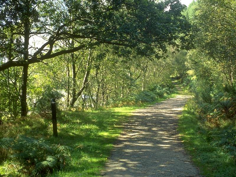 |
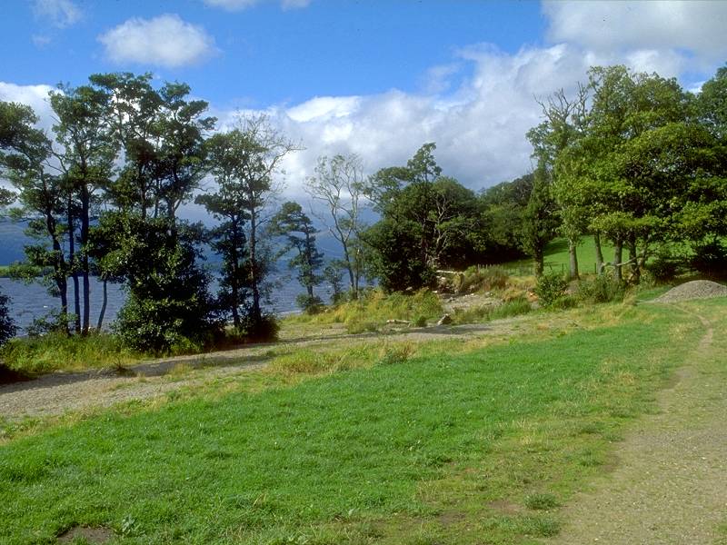
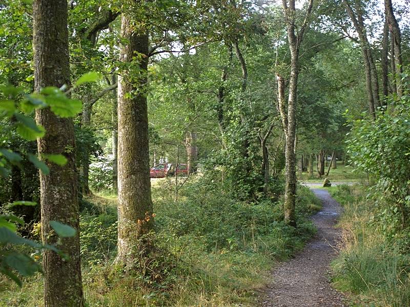
The path reaches a large car park, which occupies the clearing to the left. There was a visitor centre here. And it did sell film. Only print film, unfortunately, but needs must and I bought a roll. |
 |
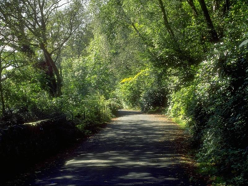
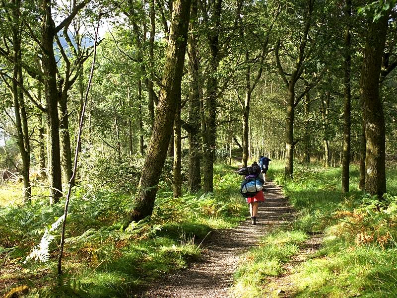
After emerging from the visitor centre I avoided the cars and resumed the route of the West Highland way through the line of trees to the north. |
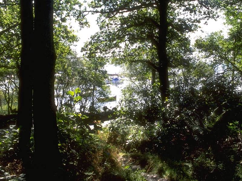 |
I emerged, a few minutes later, at the shore of Loch Lomond. |
 |
Balmaha. A few cottages, a green, a bus stop. |
 |
...and the road to Rowardennan. |
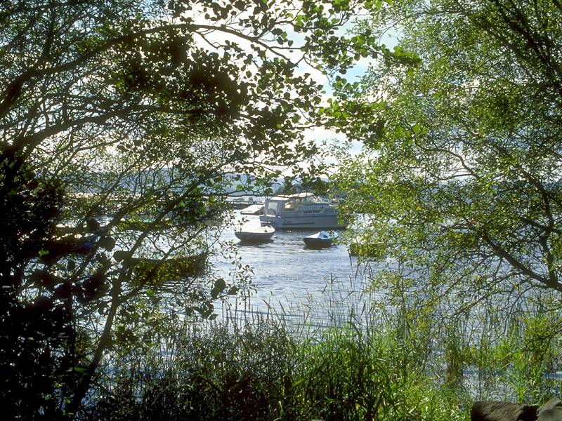 |
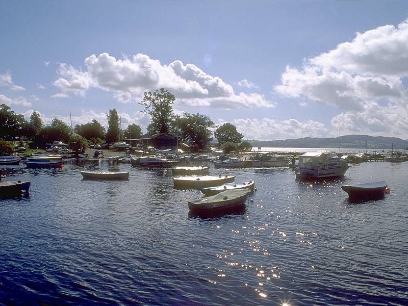
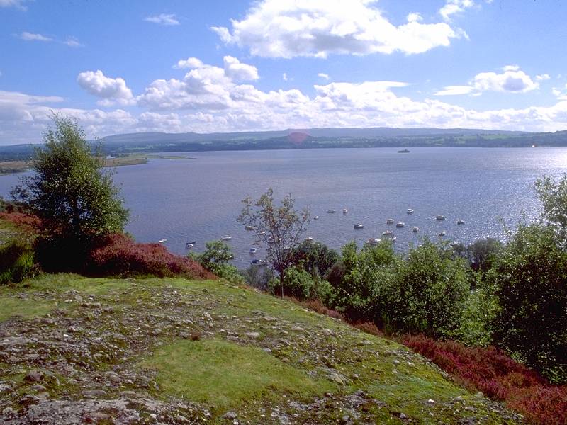
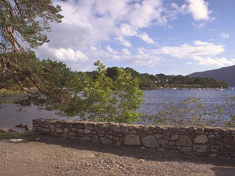
Part of the extensive marina at Balmaha. |
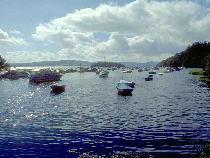 |
Forests, mountains, lakes, glinting sunlight, bobbing boats.... |
 |
....peace, tranquility. Almost paradise. Just lacking a place to sit down and eat my sandwiches. |
 |
I decided to follow the little side road to Cragie Fort, a knoll sandwiched between the road and the lakeshore, to look for a picnic spot. |
 |
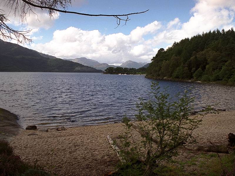
And I found one. Just a hundred feet or so above the lake, a bit stony and not quite as secluded as I would have liked, but very welcome nonetheless. |
 |
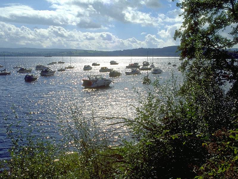
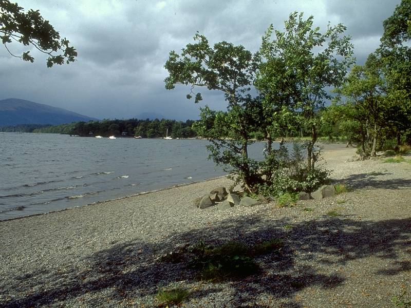
The wooded isle of Inchailloch just offshore. |
 |
Arrochy Bay to the north, with Ben Lomond beyond. |
 |
Looking northwest towards Glen Luss and Beinn Bhreac |
 |
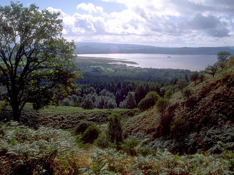
....and looking south, in the direction of Balloch. |
 |
It was difficult to tear myself away, but with a 6.30 deadline at Rowardennan to aim for I had to get going. So, after grabbing one last shot of the loch... |
 |
....I descended towards Arrochy Bay. |
 |
The route of the West Highland Way swung round Arrochy Bay on the fringe of a patch of woodland. |
 |
The path continuing through the open woods... |
 |
....fringing Arrochy Bay. |
 |
Beyond the bay, the path entered a section of woodland covering the knoll of Creag Mhor, lying between the road and Arrochymore Point. |
 |
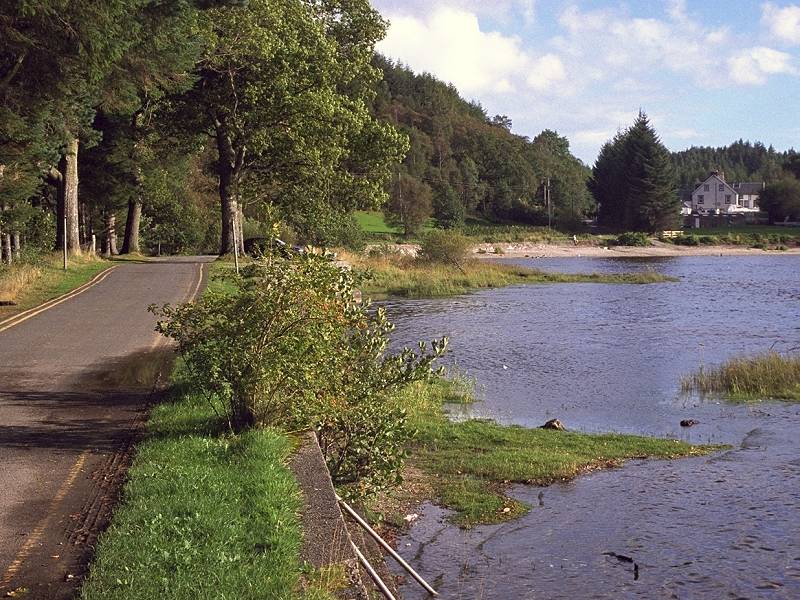
On the other side of the wood, it emerged at the lochside once again, this time at the bay of Arrochybeag. This mixture of lochside and woodland sections, with the occasional stretch of road walking, was to become the set pattern for the rest of the afternoon. |
 |
The lakeshore at Arrochybeag Bay.
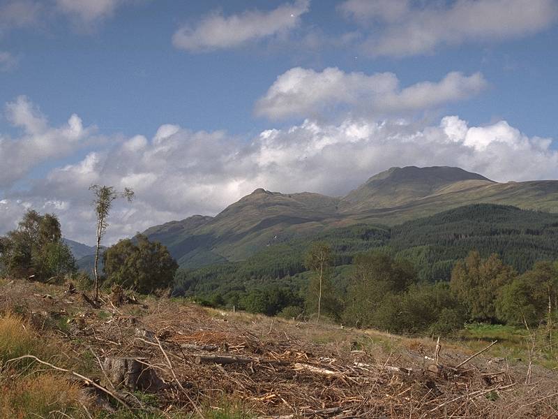
The road was rejoined for about half a mile in the vicinity of Milarrochy, after which the path turned left again to cross the substantial hillock of Cnoc Buidhe. Unfortunately most of the trees on this hillock had just been felled and the place was not exactly a scenic gem. To add insult to injury the weather turned and I was hit by a vicious shower. |
 |
A quick dash to the shelter of the few trees that were still standing, where I dug out my waterproofs and held a quick consultation with a couple of women who were also hiking the path. We came to the conclusion that the rain had set in for the day. I reached the roadside and consulted the map, wondering whether to push on to Rowardennan or walk back to Balmaha for the bus. |
 |
Just as I'd made up my mind to abort the walk and head back to Balmaha, the clag to the north thinned and the rain started to lessen. Three minutes later the sun broke through and I grabbed this shot of the backlit loch with the storm clouds receding southwards. |
 |
The transformation of the scene to the north was complete. It wasn't just sunny again, the air was actually sparkling. It's amazing how much muck a shower can wash out of the air. Surely Loch Lomond has never looked lovelier than this. |
 |
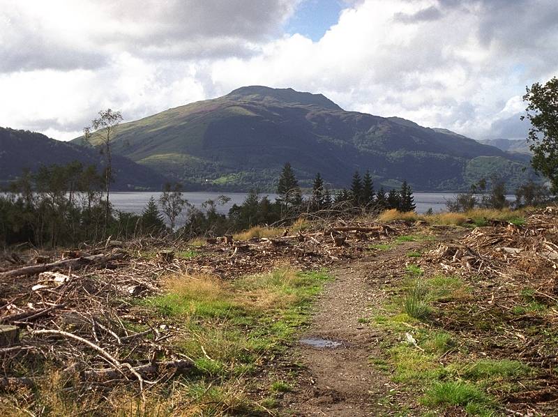
The road is rejoined a few yards to the north and I stopped again for this shot northwards along the loch, with Beinn Bhreac to the left and Beinn Lomond to the right. |
 |
I met the two women again, who had stopped for a coffee break and were admiring the view at a point where a pathway diverged from the road to the left. This is a shot along the pathway, with Sallochy house seen a few hundred yards ahead. |
 |
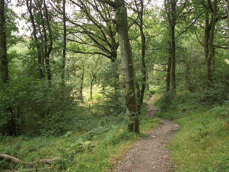
Beyond Sallochy the path enters the largest woodland area of the day's walk, Rowardennan Forest. |
 |
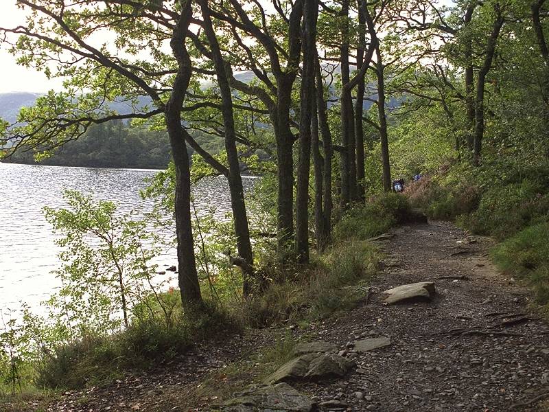
The path meanders towards the shoreline now and again, opening up scenes of unsurpassed beauty such as this. |
 |
And this. |
 |
Otherwise, it tracks away from the shoreline, sometimes for several hundred yards, rising and falling to climb rock outcrops and small headlands. The path is always well defined and pleasant to walk. |
 |
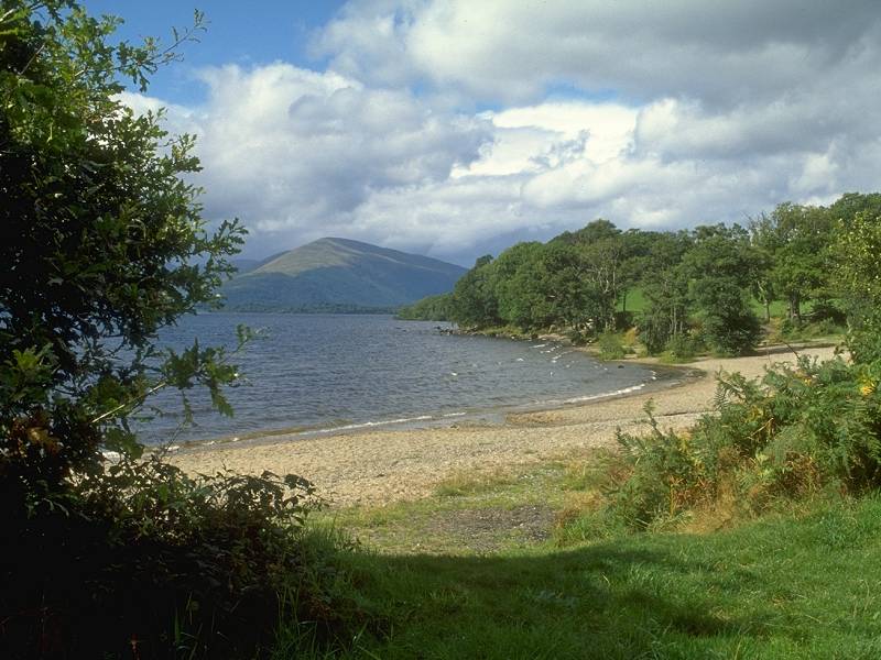
After some two miles of forest walk, the path emerges here at Wester Sallochy bay. |
 |
The lakeside path at Wester Sallochy |
 |
A few clouds are rolling in again but it gives the bay a somewhat ethereal quality. |
 |
I waited some ten minutes for the sun to dodge the clouds and for the day trippers to get out of shot before I pressed the shutter here. |
 |
Another few minutes of waiting for a couple to walk off the grassy promontory ahead produced this picture. The building just visible in the trees beyond is a boathouse belonging to Glasgow University. |
 |
It dulled over for a while as I followed the path through Ross Wood. |
 |
Fortunately the cloud cover didn't last too long. |
 |
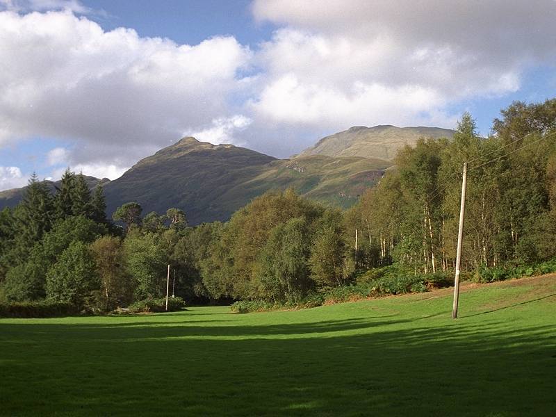
The tree cover also disappeared. I reached a felled area which, fortunately, allowed splendid views of Ben Lomond, now only three miles ahead. |
 |
An equally splendid view across the loch, to Beinn Bhreac. |
 |
The two woman hikers passed me again in Ross Wood... |
 |
...but halted for another break at Ross Mill where I passed them for the last time. |
 |
The last hundred yards of Ross Wood. |
 |
Arrival at Carraig Bay. Just one mile to go now. |
 |
That final mile, through yet another wood across a nameless headland, is surprisingly rough. The path is boggy and the scene is drab. Only here, where it descended towards Rowardennan, did I feel it was worth getting the camera out again. |
 |
Ten minutes later I arrived at the Rowardennan Hotel, the finishing point of the day's walk. I had forty-five minutes to wait for the ferry across the loch so I treated myself to a pot of tea. And then another pot of tea. Hiking can be thirsty work. |
 |
Ben Lomond looks down over Rowardennan. |
 |
The short stroll to the ferry pier. The boat was due to leave at 6.30. |
 |
This road lead to the youth hostel nearby and then, apparently, gives out and becomes a track. This is the continuation of the West Highland Way northwards. |
 |
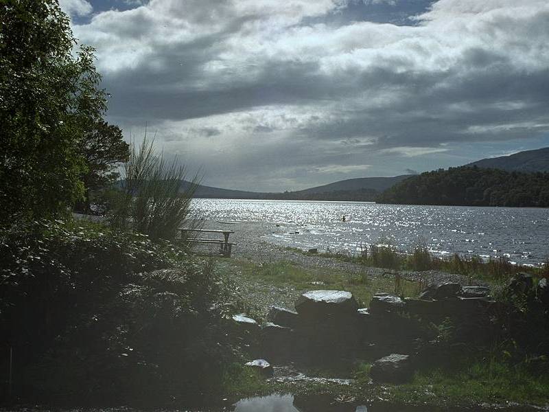
While I waited for the ferry (which was late), I used the film up with a last handful of shots of the loch. Ben Lomond again. |
 |
The hills surrounding Glen Falloch at the north end of the loch. |
 |
Looking back at that nameless headland that gave such surprisingly bad walking for the last mile |
 |
And finally, the hotel seen from
the ferry
pier.
As I had an hour and a half to wait for the Citylink coach back to Balloch once the ferry had made the short crossing to Inverbeg, I decided to have my evening meal at the hotel bar there. The coach was some ten minutes early but fortunately I had walked out to the bus stance in good time. I was back in Balloch well before dark. The following day I moved on to Aviemore for a couple of days' walking in the Cairngorms (see the Bynack More walk) |