|
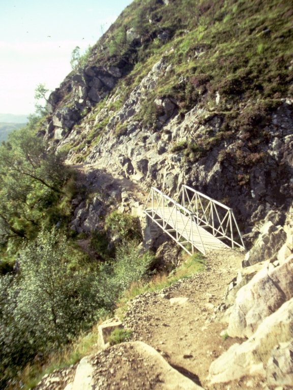
The
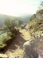
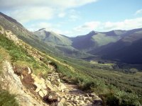
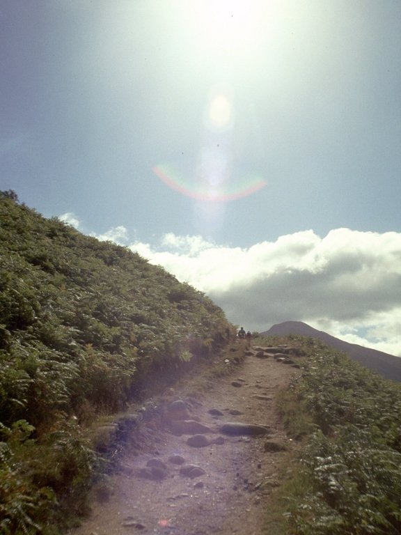
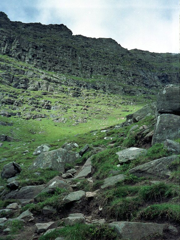
Ben Nevis ascent path. Starting from Achintee farm, the path ascends
the flanks of Nevis's outlier, Meall an t-Suidhe. This the first
footbridge, located just above Glen Nevis youth hostel.
|
|
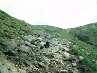
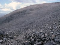
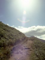
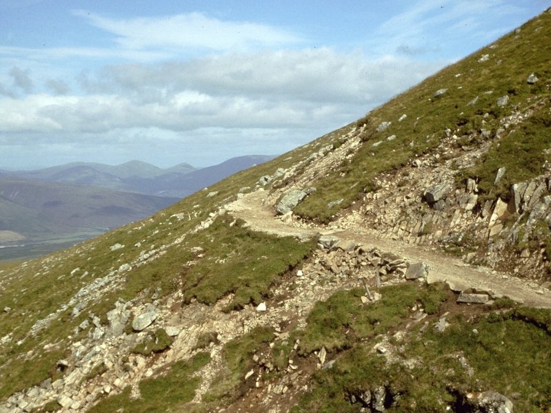
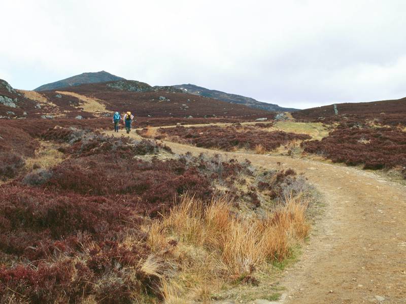
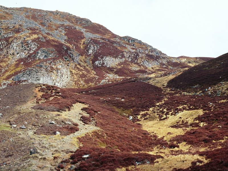
The
path winds around the shoulder of Meall an t-Suidhe. The gradient,
while not excessively steep, is relentless and the climb is somewhat
tedious.
|
|
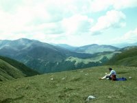
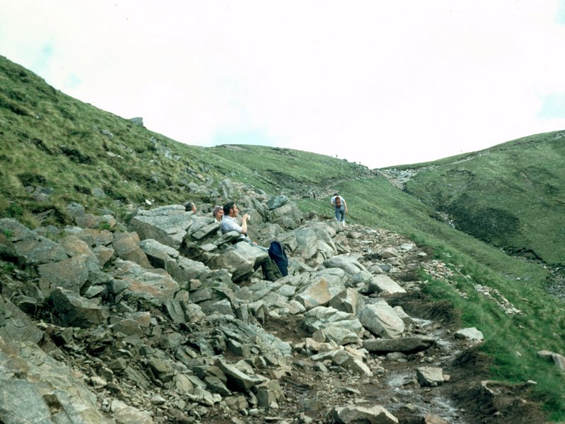
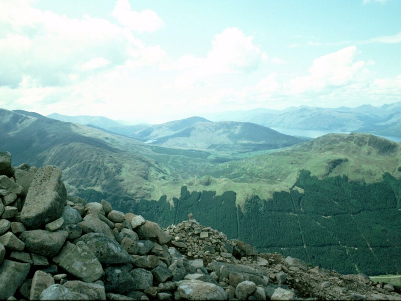
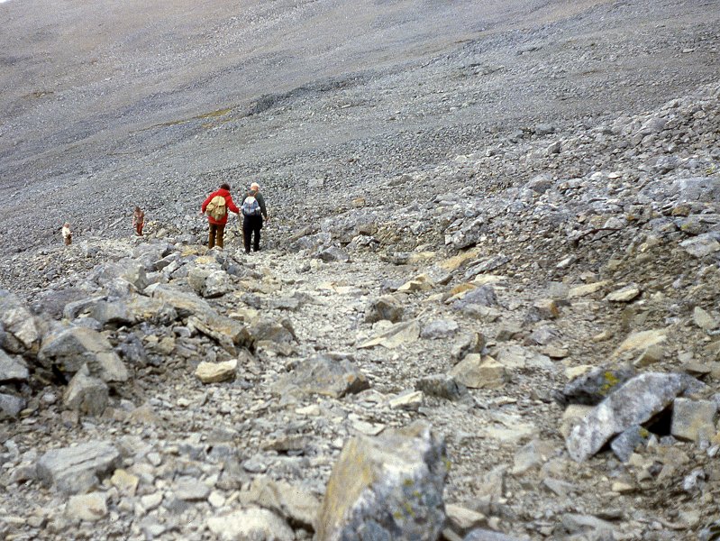
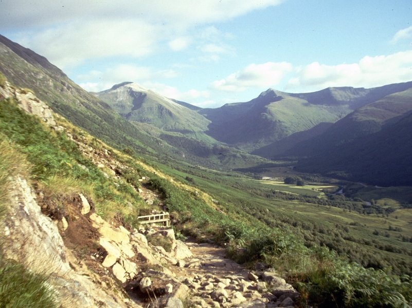
Resting
at the col between Meall an t-Suidhe and Ben Nevis. The col is the
psychological half-way point, about two hours' climb from Fort William
or ninety minutes from Achintee.
|
|
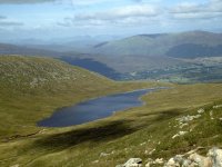
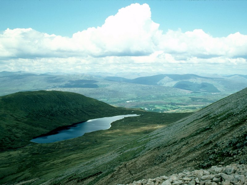
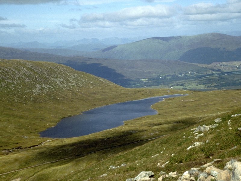
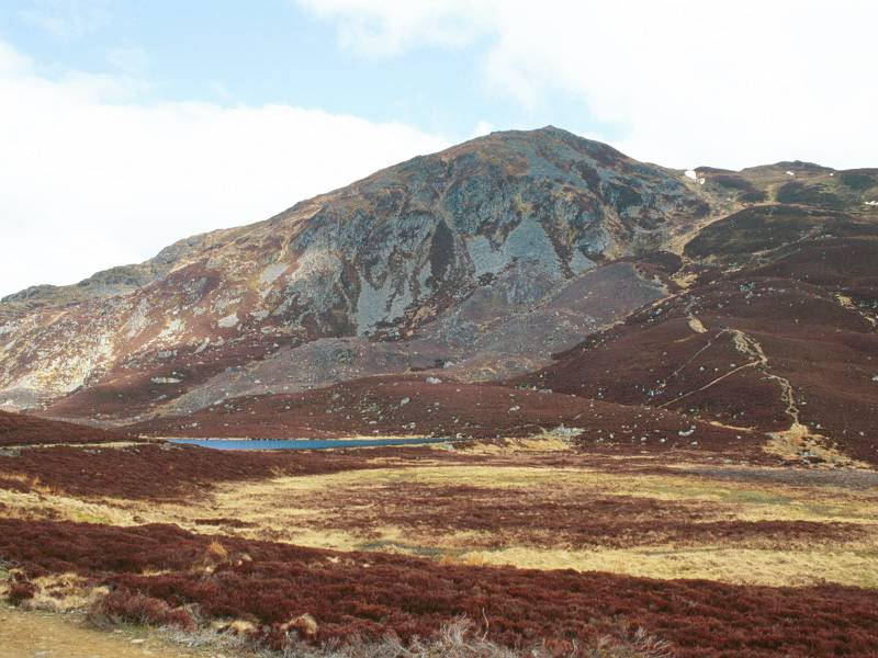
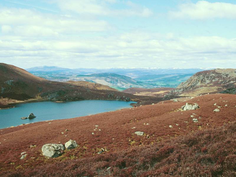
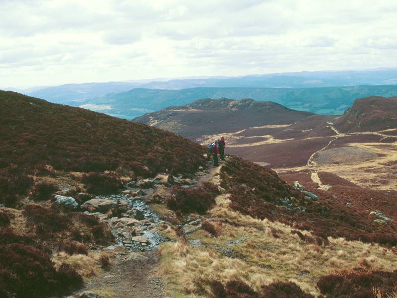
From the col the path begins the ascent of Ben Nevis proper. Looking back we see Lochan Meall an t-Suidhe.
|

|
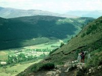
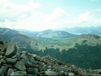
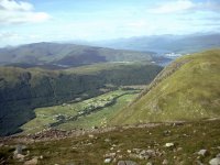
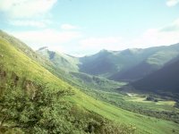
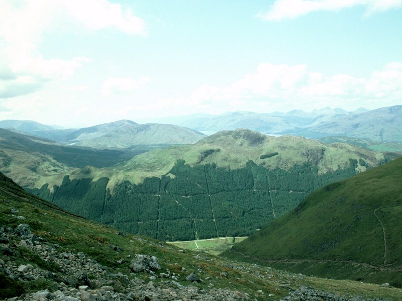
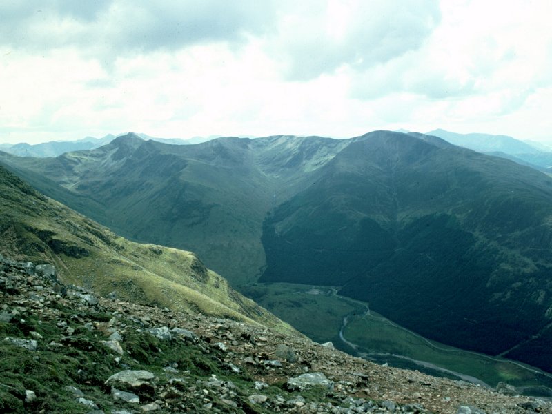
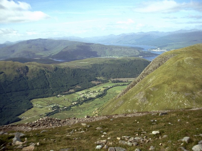
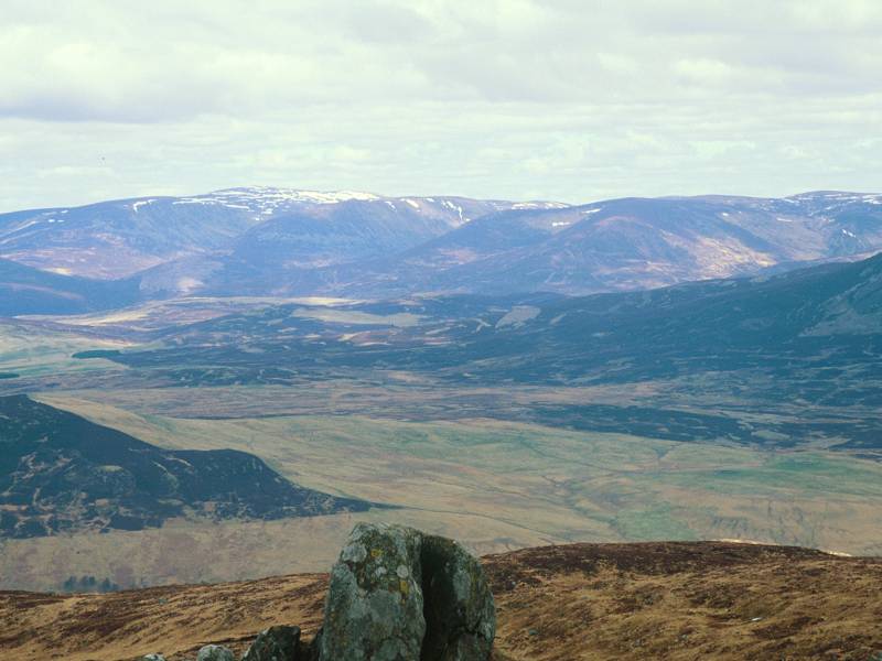
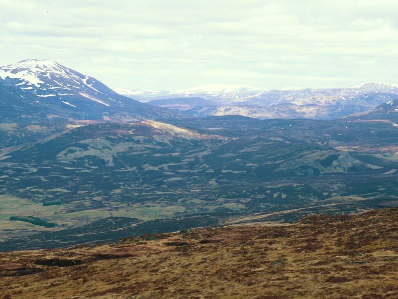
We're looking across Glen Nevis to the southwest.
|

|
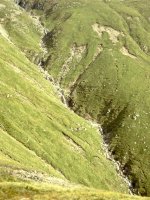
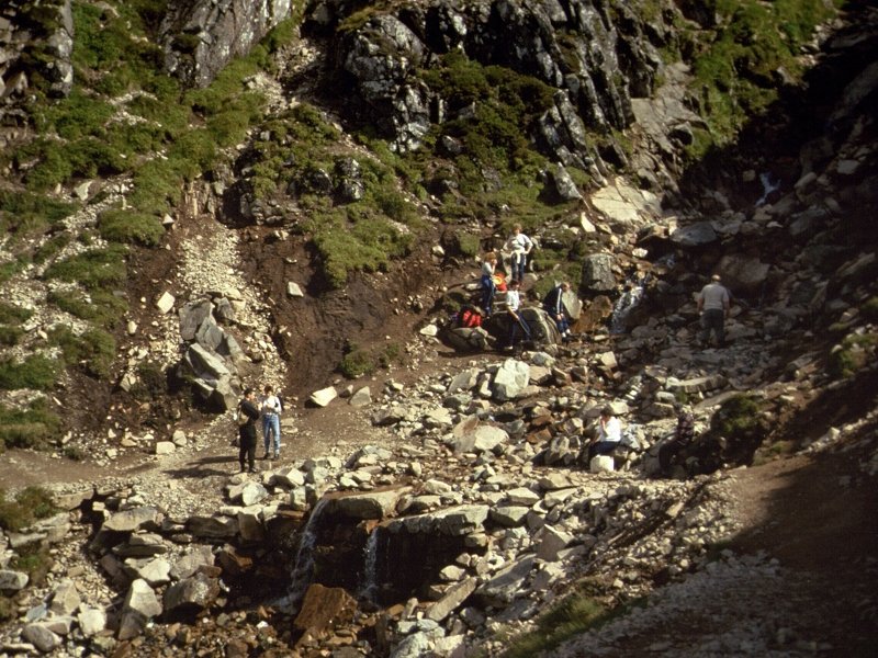
Crossing a substantial stream, we head towards the first of the eight great zigzags in the path.
|
|
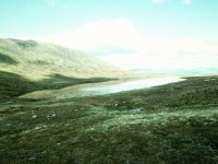
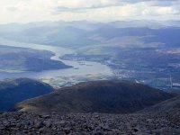
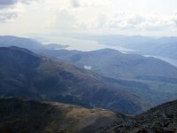
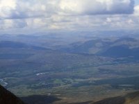
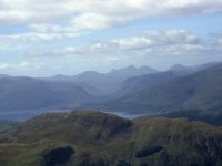
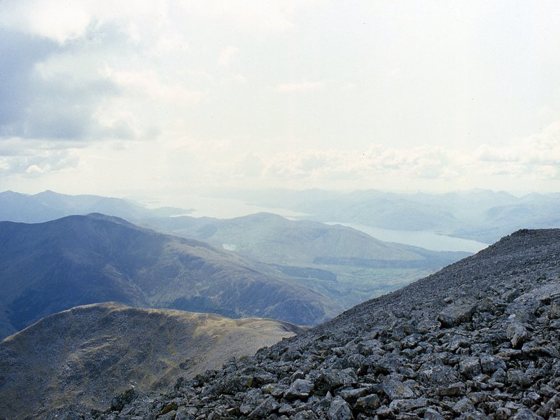
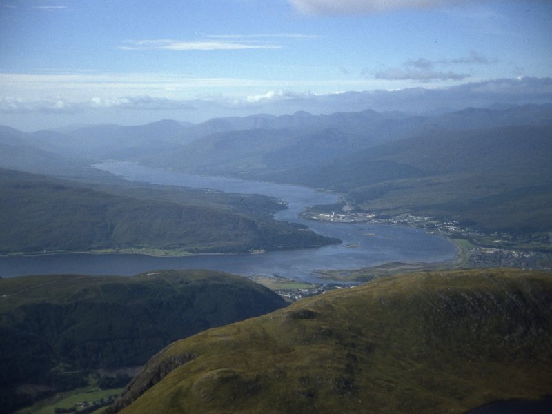
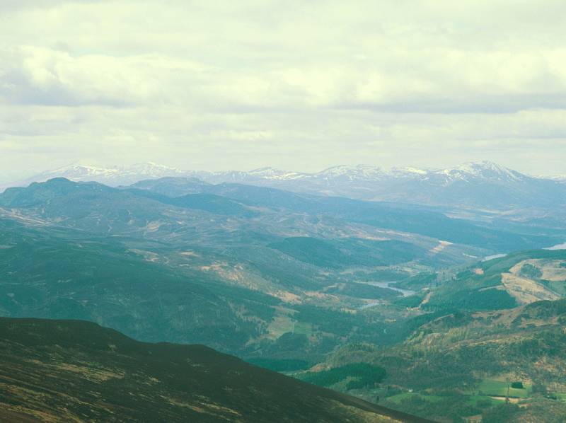
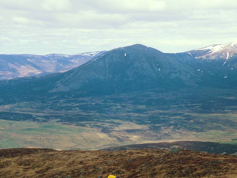
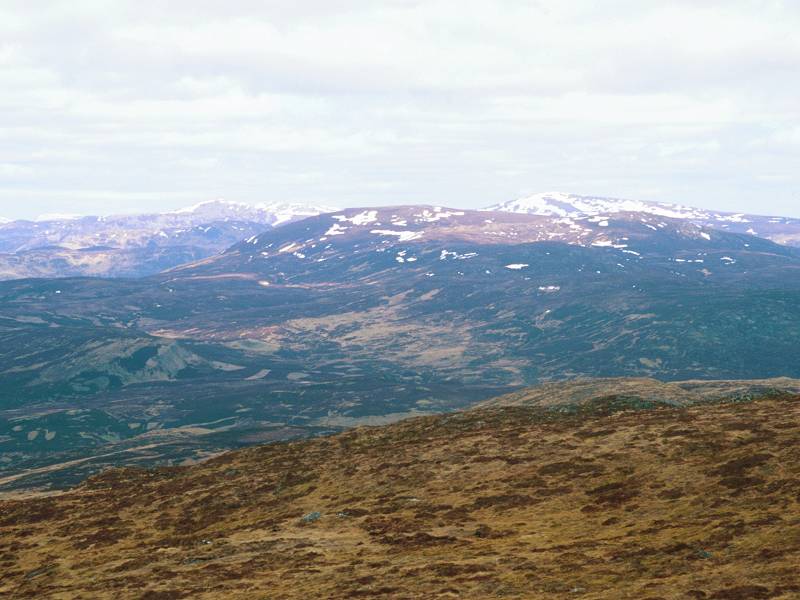
Loch Linnhe starts to come into view to the southwest.
|

|
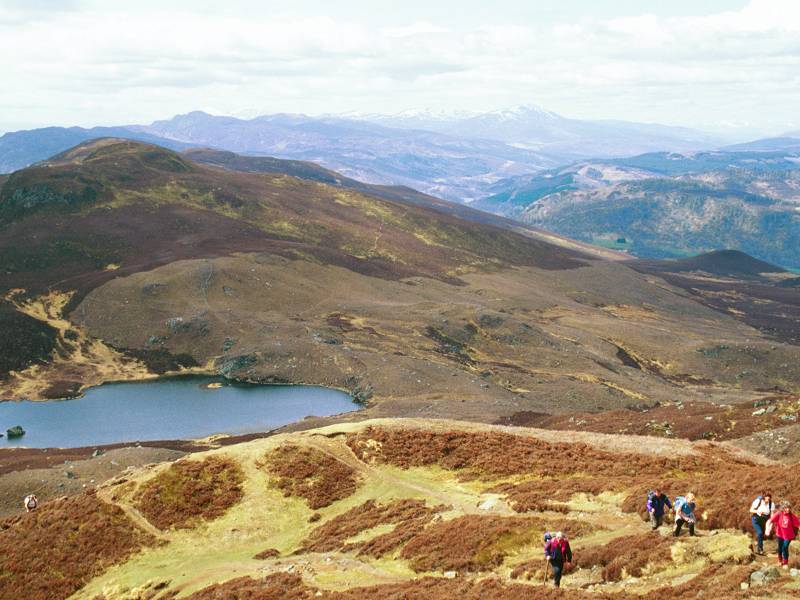
On
the first zigzag, a few hundred feet above the col. Lochan Meall an
t-Suidhe is starting to look insignificant. Gairlochy is coming into
view beyond the col.
|
|
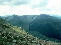
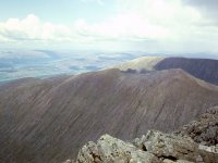
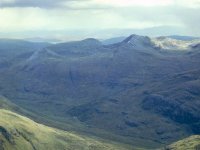
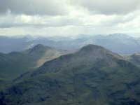
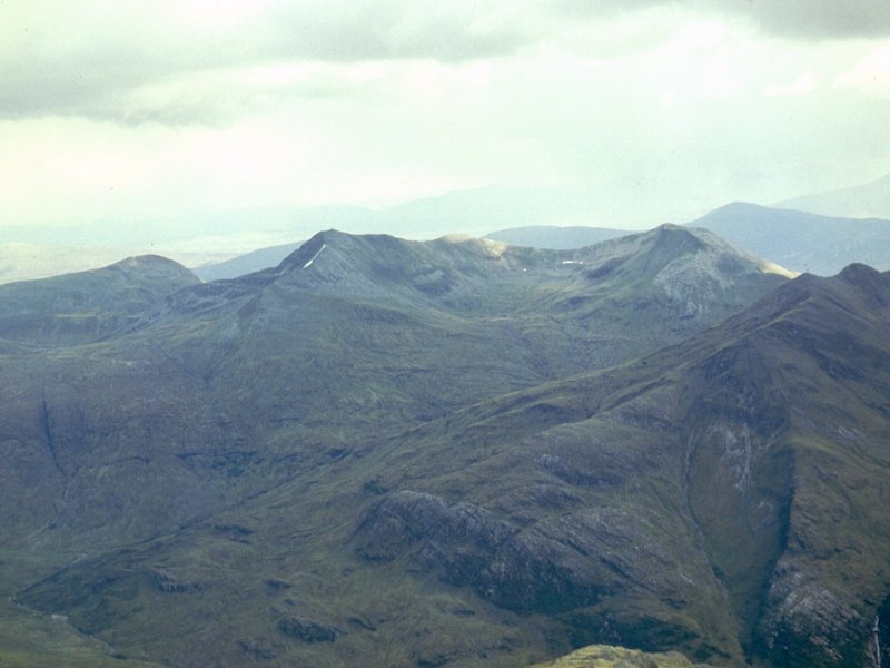
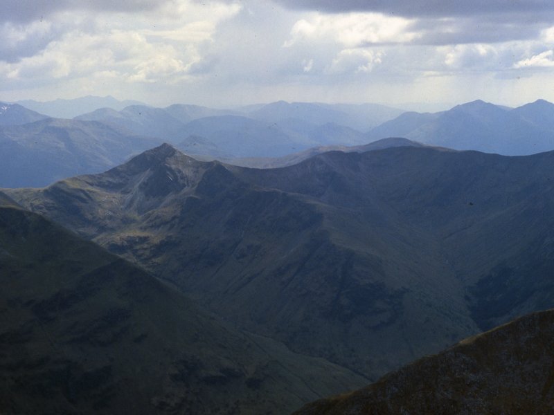
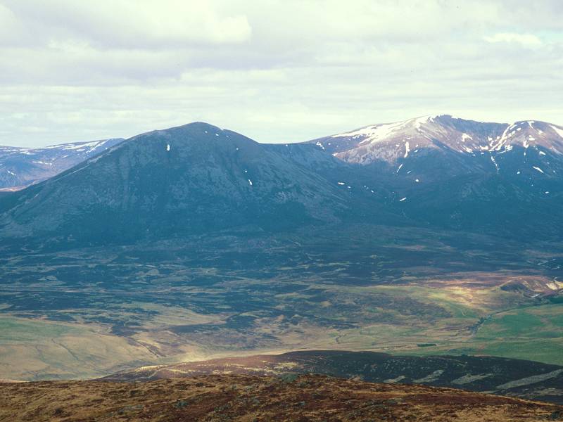
We're
on the second of the eight zigzags, looking south. Stob Ban faces Nevis
across the glen, with the peaks of Glencoe coming into view beyond.
|
|
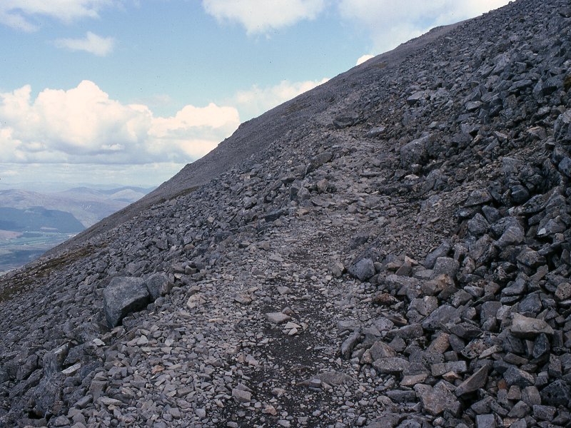
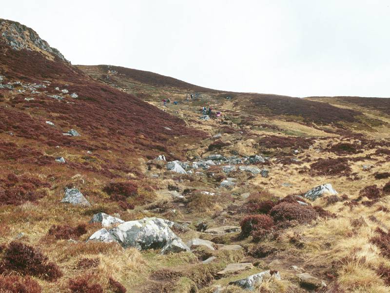
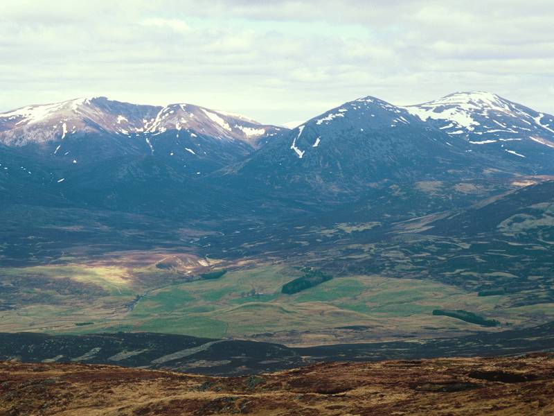
The
third zigzag, at about 940 metres of altitude (very slightly below 3000
ft). The vegetation has all but disappeared now. This is where the
casual tourists become very dispirited to learn that there are still
1500 feet to go to the top.
|
|
Starting on zigzag number four, at 1000 metres.
|
|
High on the shoulder of the Ben now, looking back along zigzag six at over 1100 metres.
|
|
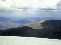
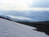
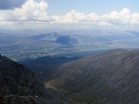
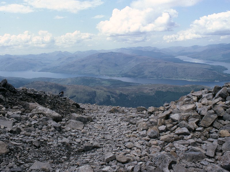
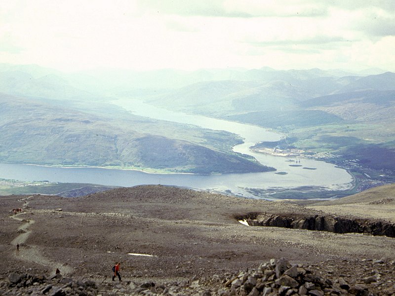
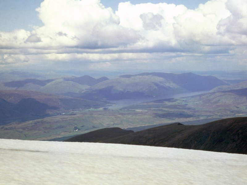
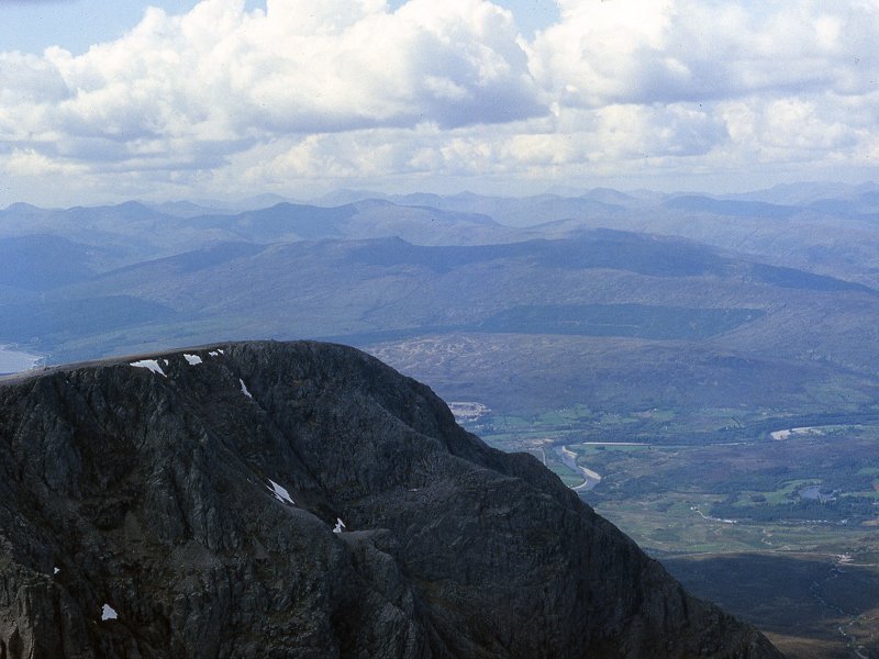
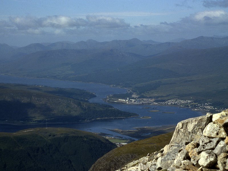
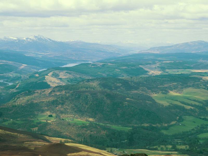
I
think I actually took this on the way down again but it's advantageous
to place it at this point in the narrative. The gradient has lessened
as the start of the summit dome. is reached. We're looking at the elbow
formed by the confluence of Loch Linnhe with Loch Eil.
|

|
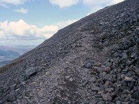
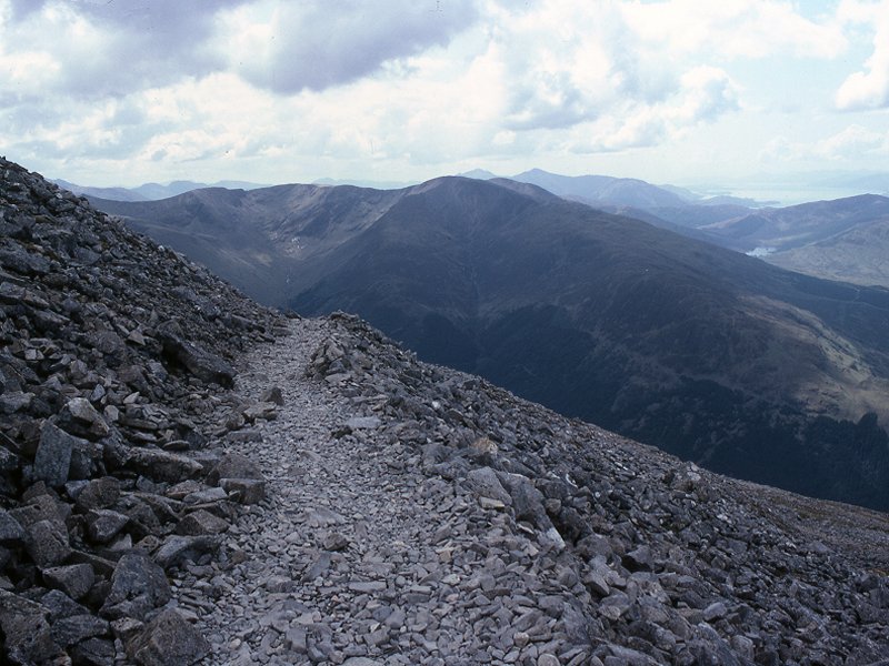
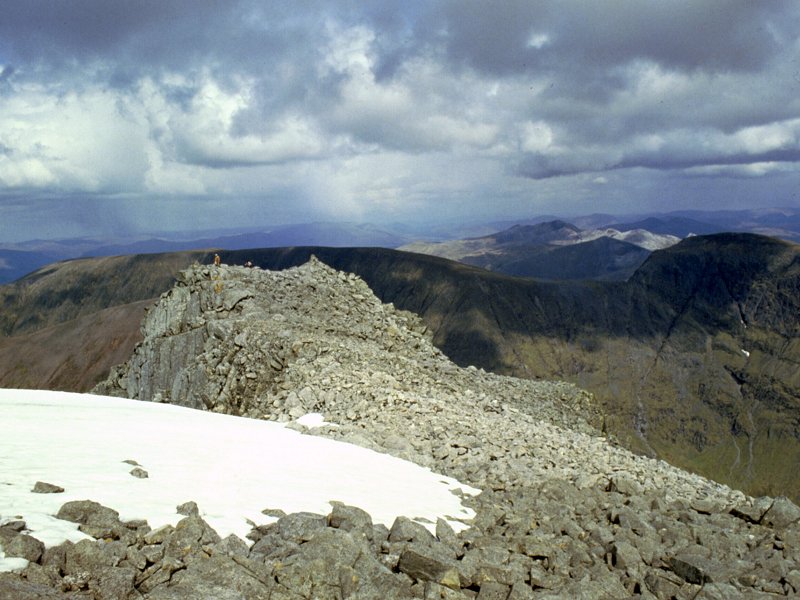
The
top reaches of zigzag six. Most of the climbing efort is behind us now
but the summit is still a kilometre away over rough terrain.
|

|
The scene looking back from zigzag seven towards Loch Linnhe and Loch Eil.
|

|
Zigzag eight, at an altitude of 1200 metres. Still another 144 metres (nearly 500 feet) to climb.
|
|
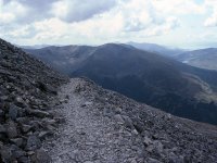
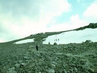
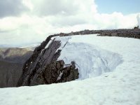
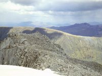
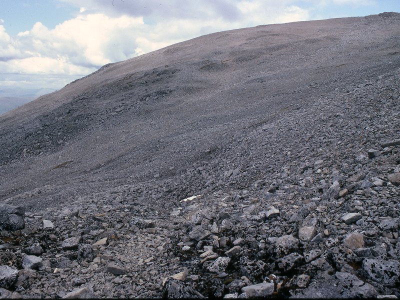
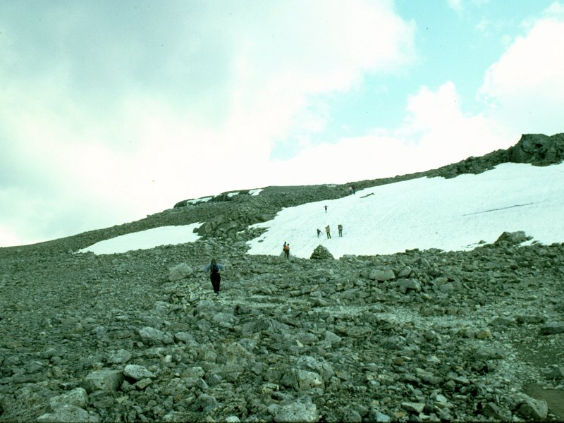
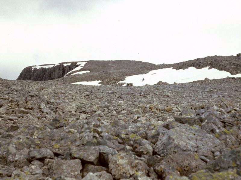
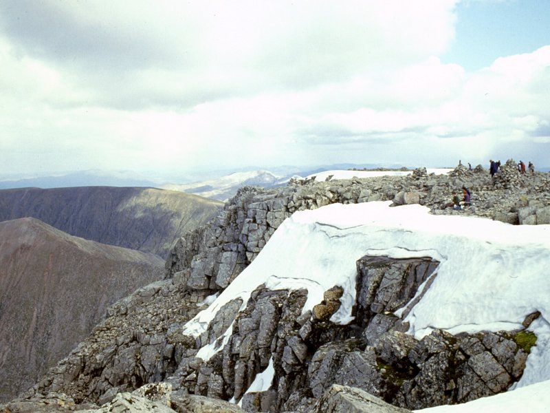
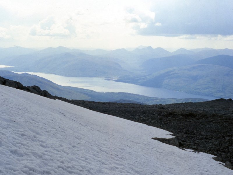
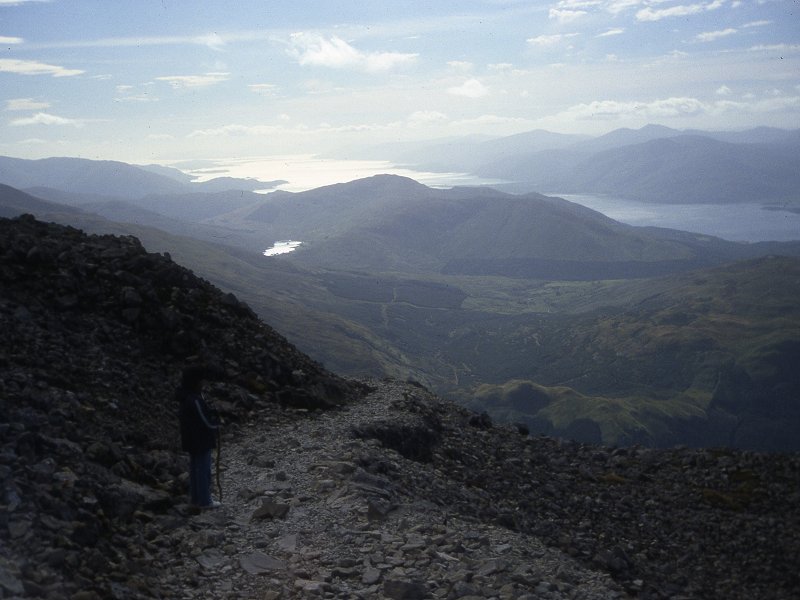
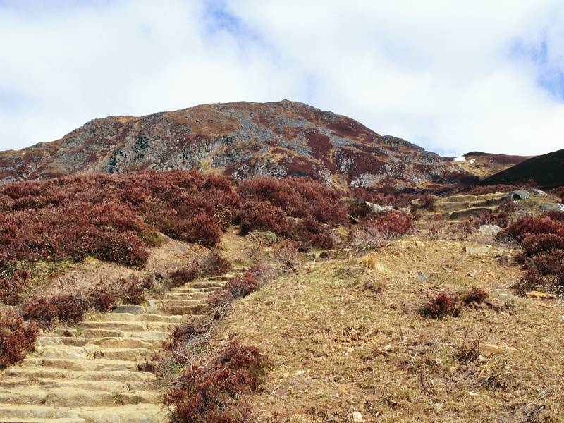
The
top of the zigzags at about 1250 metres. This is where you find that
there is, in effect, a second summit dome ahead perched on top of
and to the rear of the first.
There are still substantial snowfields at this height despite this
being late May.
|

|
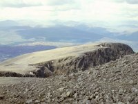
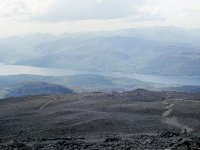
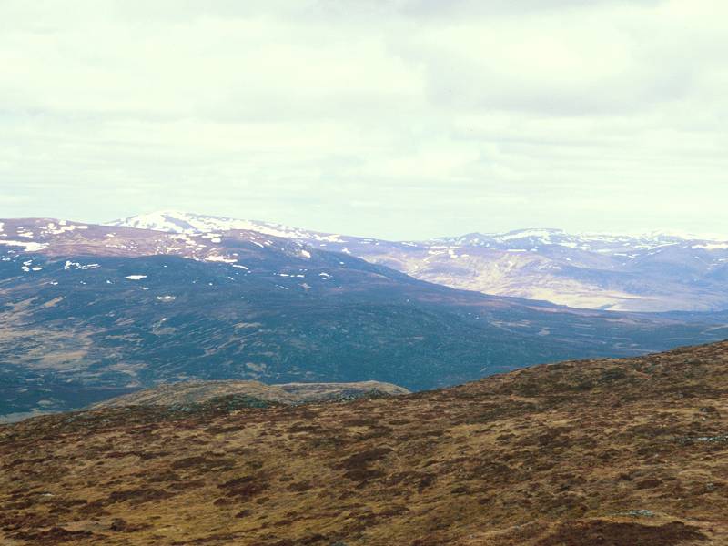
Carn Dearg, with Loch Linnhe beyond, seen from about 1280 metres.
|

|
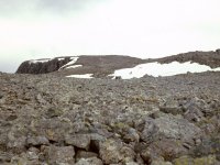
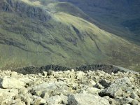
The final approach to the top of the Ben. There's nothing here but frost-shattered rock.
|
|
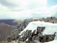
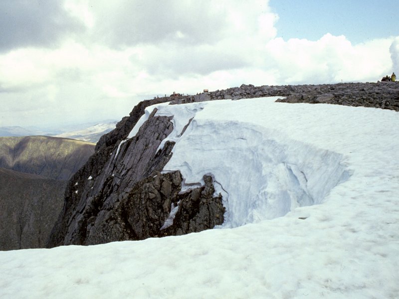
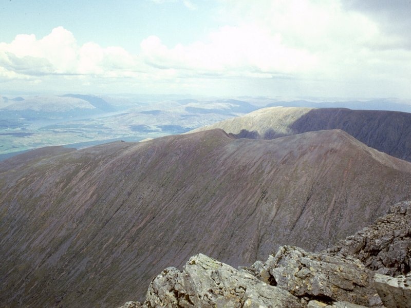
Nevis
proves to have a tertiary summit dome, even higher and further back than
one expects. To reach it one has to pass the fearsome gullies in the
north face.
|
|
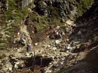
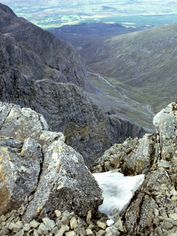
One of the gullies leading down into Coire Leis.
|
|
Looking back to Carn Dearg across Coire na Ciste.
|

|
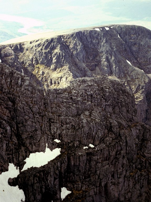
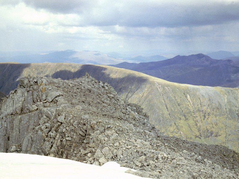
The top of Ben Nevis - one of the buttresses of the north face.
|
|
Just a couple of hundred metres from the actual summit now.
|
|
The North Face of Ben Nevis
|
|
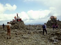
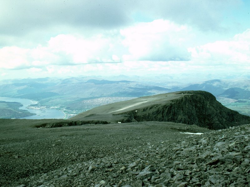
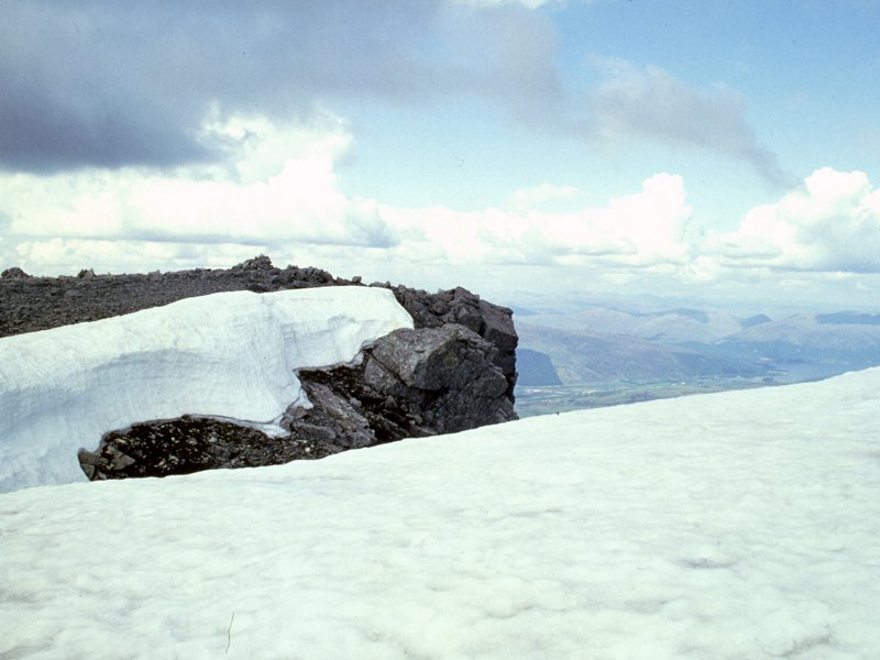
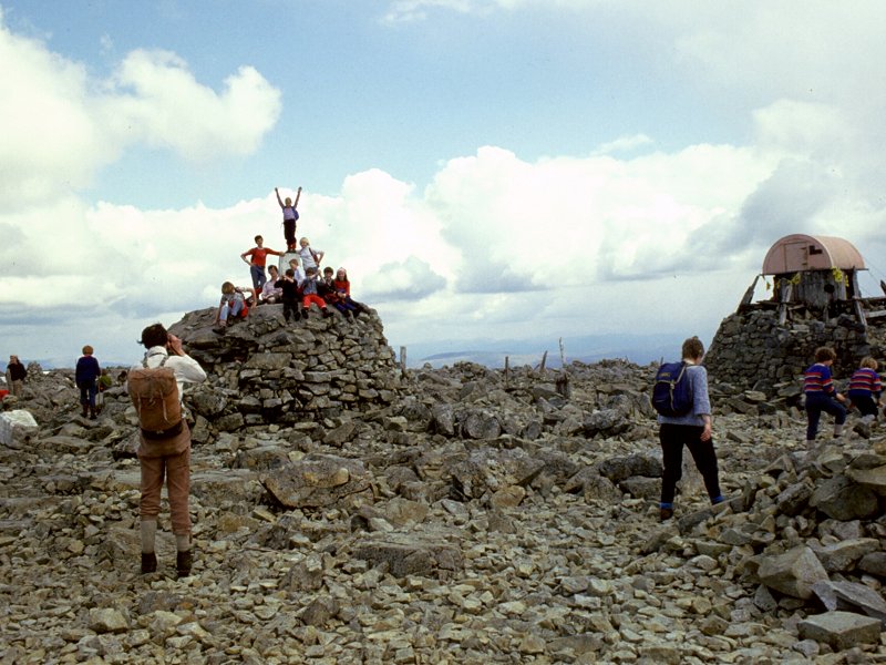
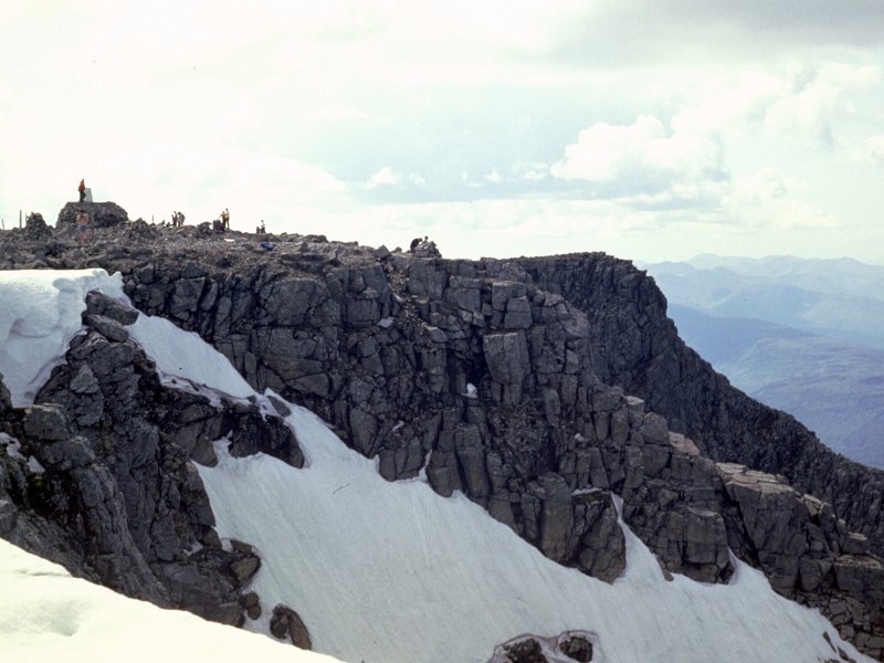
The
summit. The highest point in Britain, 4408 feet (1344 metres) above sea
level, and a magnet for tourists as well as hillwalkers. The structure
to the right is a crude shelter. There was once a weather station on
the summit, which operated in the late nineteenth century.
|
|
So much to photograph up here! We're looking towards the east top, with Aonach Mor and Aonach Beag behind.
|

|
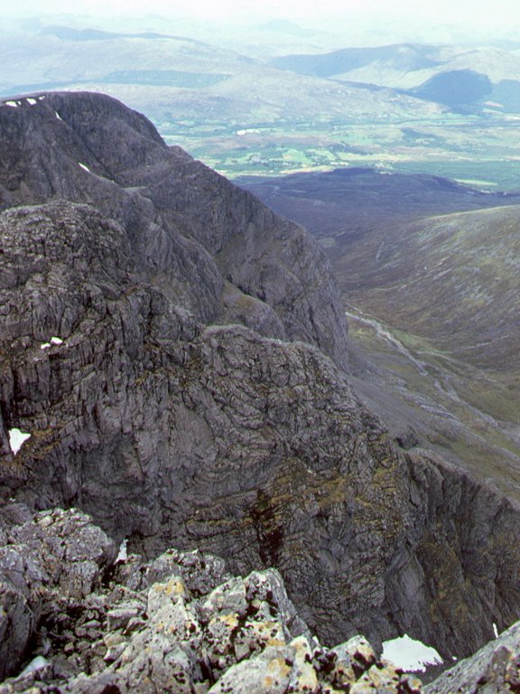
Looking across the gullies towards Carn Dearg.
|

|
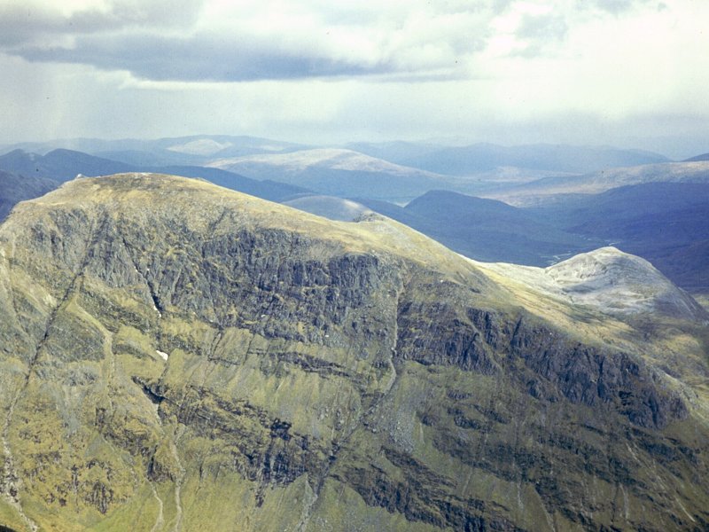
The awesome sight of Carn Dearg.
|
|
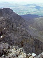
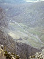
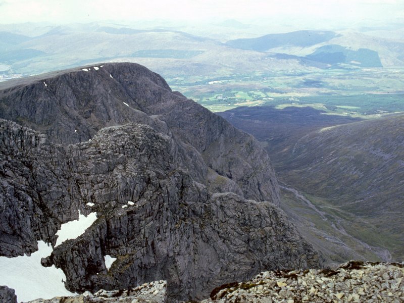
Here we're looking down the length of Coire na Ciste, the ravine between Nevis and its neighbour, Carn Mor Dearg.
|
|
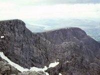
Another
view of Coire na Ciste, with Carn Dearg and the cliffs of the north
face rising to the left. This is said to be the highest cliff face in
Britain.
|

|
One of the gullies of Coire Leis, with Coire na Ciste beyond.
|
|
A telephoto shot of Coire na Ciste.
|

|
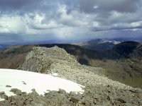
The summit of Ben Nevis from a point near the east top.
|

|
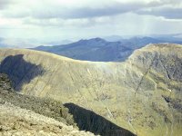
The first shot in the Ben Nevis summit panorama. Looking north, across Loch Lochy, towards Affric and Cannich.
|
|
Panorama
shot 2. Looking north-northeast we see Carn More Drarg in the
foreground with part of Aonach Mor beyond to the right. In the distance
is Gairlochy and the Great Glen. Somewhere in the far distance is Ben
Wyvis.
|
|
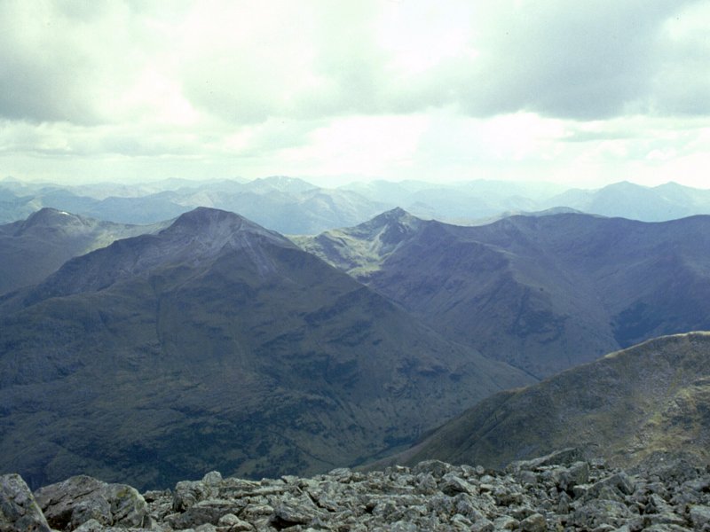
Panorama
shot 3. Carn Mor Dearg is in shadow now. Aonach Mor rises beyond.
Over in the distance is Spean Bridge. Mealfuarmonnaidh rises to the
north of the unseen Loch Ness.
|
|
Panorama
shot 4, looking northeast. Beyond the east top is the long ridge of
Aonach Mor. Beyond it we see the Monadhliath, and possibly Greag
Meagaidh.
|
|
Panorama
shot 5, in which we see the abrupt rise of Aonach Beag to the right
with the Monadhliath beyond. The Cairngorms are in the far distance.
|

|
Panorama shot 6, looking east. Aonach Beag is to the left., with the Ben Alder hills and the Mounth beyond.
|
|
The Grey Corries are well seen here. Ben Alder, the Mounth and Sciehallion are in the far distance.
|
|
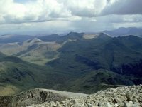
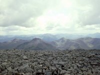
Panorama
shot 8, looking east-southeast. The Mamores, notably Binnein Mor, are
coming into view. Schiehallion and Ben Lawers are somewhere out there.
|
|
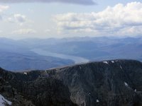
Looking downwards from the above shot to the Carn More Dearg arete, with Steall in upper Glen Nevis seen beyond.
|
|
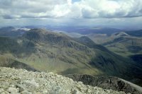
Panorama
shot 9, looking southeast. The western Mamores are in view across
upper Glen Nevis, with the unseen Rannoch Moor beyond. The Blackmount
is starting to come into view to the far right. Schiehallion is
somewhere in the distance.
|
|
A close-up of Binnein Mor
|
|
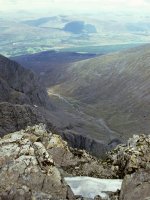
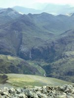
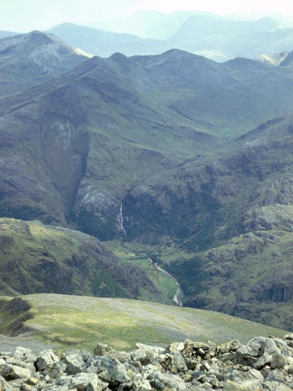
A
magnificent sight - Steall Waterfall, nearly four thousand feet below
but ckearly audible, surrounded by the mountains known as the Ring of
Steall - An Gearanach, An Garbhanach and Ston Coire a' Chairn. In the
background we can see Meall a' Bhuiridh and Creise in the centre of
shot, with the Buachaille Etive Mor to the right.
|
|
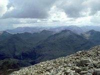
Panorama
shot 10, looking south-southeast, and arguable the highlight of the
summit vista. The Ring of Steall is in the foreground, dominated by
Sgurr a' Mhaim and Am Bodach, while to the rear are the mountains of
Glencoe, topped by Bidean nam Bian. And to the rear of Glencoe are
peaks too many to mention - the Blackmount, Glen Etive, Ben Starav,
Glen Falloch and Arrochar ranges.
|
|
A
close-up of the above scene, with Am Bodach and Sgurr a' Mhaim a couple
of miles away, Bidean nam Bian behind to the right, and the skyline
crowded with summits.
|
|
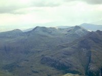
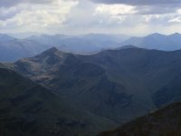
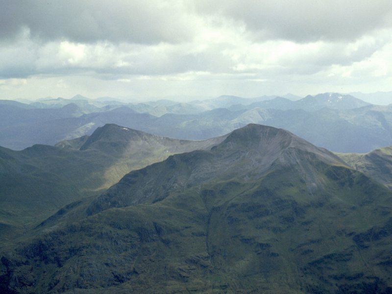
Panorama
shot 11, the view just east of south. Sgurr a' Mhaim and Stob Ban take
centre stage with their quartzite tops, and the snow-flecked Bidean nam
Bian dominates the scene to the rear. To the right, Beinn a' Bheithir
is coming into view.
|

|
A bit of a zoom in again, giving the shapely cone of Stob Ban pride of place.
|
|
A
zoom-in due south, with Stob Ban and Mullach nan Coirean holding the
attention and Beinn a' Bheithir dominating the rear view towards the
right.
|
|
Panorama
shot 12, looking southwest. We're seeing the bulk of Loch Linnhe here,
with the Ardgour and Sunart districts beyond. Beinn a Bheithir is on
the left.
|
|
Zooming in on the detail of Loch Linnhe and some of its islands. Oban lays on the coast down there somewhere.
|
|
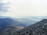
Panorama
shot 13, looking west-southwest across Loch Linnhe to the Ardgour and
Morven regions. This area lacks Munros yet is full of rugged and
shapely summits of lesser height.
|
|
Panorama
shot 14, the western aspect, looking across upper Loch Linnhe into
Ardgour ane the hills around Glenfinnan and Loch Shiel.
|
|
Panorama shot 15, the view west-northwest down the length of Loch Eil towards the Glenfinnan hills and Morar.
|

|
Panorama shot 16, looking northwest across the Loch Arkaig hills towards Knoydart and Skye
|
|
Panorama shot 17, with the Caledonian Canal and the lower Great Glen backed by the myriad hills of Knoydart and Kintail.
|
|
Our
final panorama shot, looking north northwest across to Kintail,
Torridon and Affric, with Loch Lochy partly in view to the right.
|
|
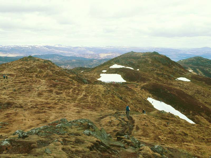
We
move forwards five years now, to my second ascent of the Ben in 1986.
This is the path on the shoulder of Meall an t-Suidhe again.
|
|
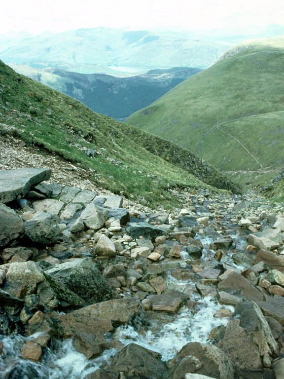
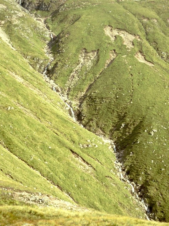
And
this is a shot of the Red Burn, the major watercourse that runs down
Ben Nevis's south face just to the east of the Meall an t-Suidhe col.
|

|
Looking back across the watercourse from the same point.
|
|
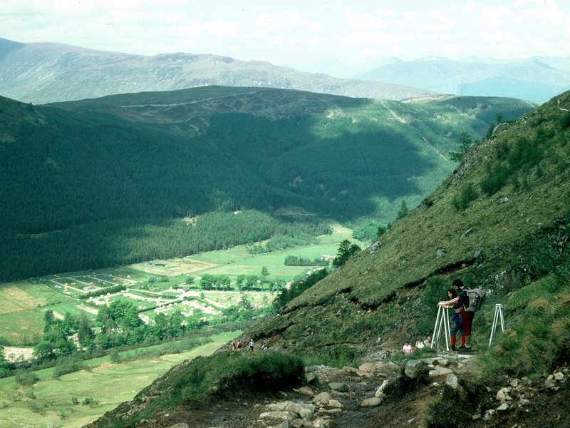
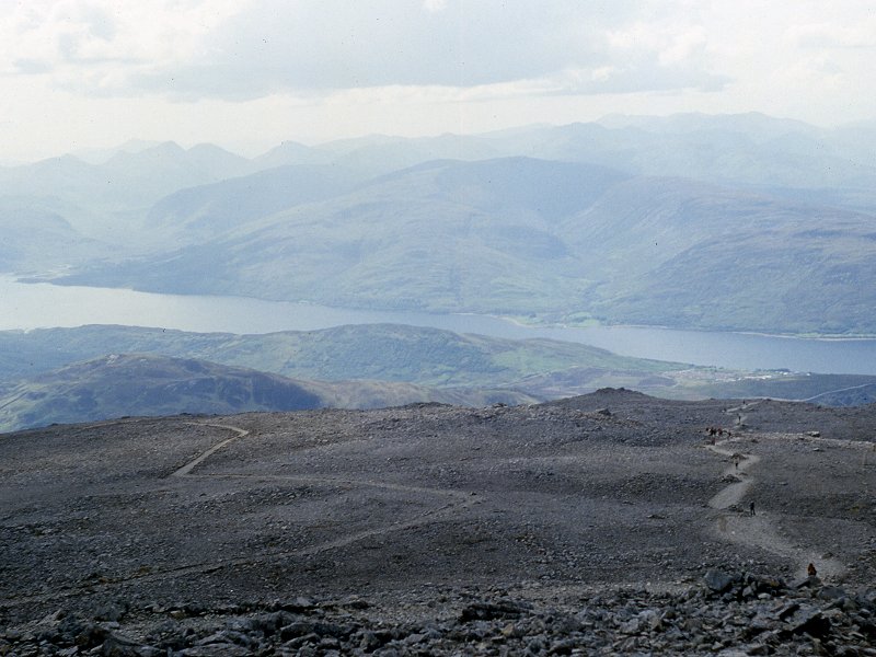
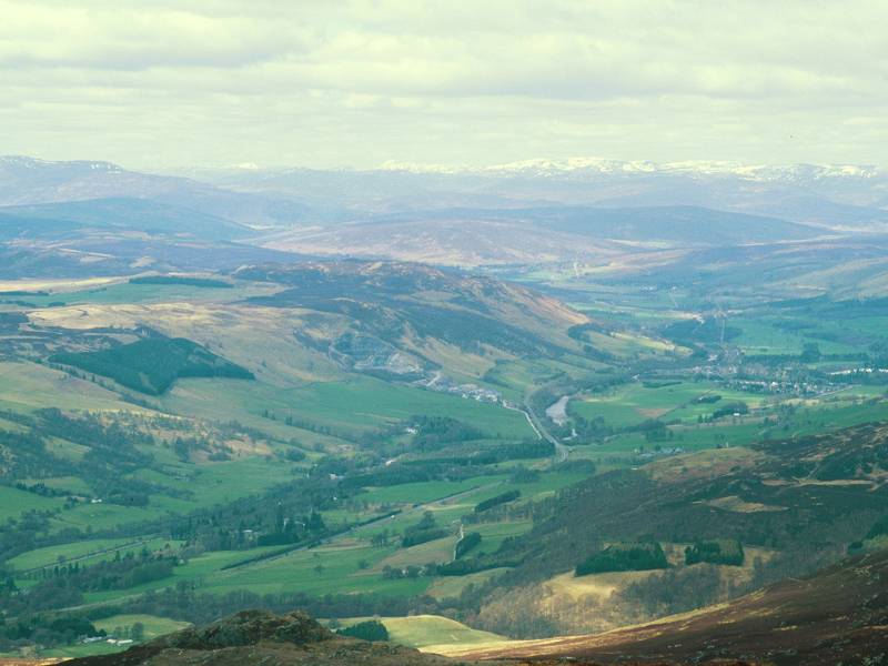
A view of lower Glen Nevis from the zigzags.
|
|
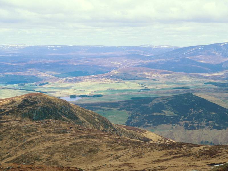
Lochan Meall an t-Suidhe from the same point.
|
|
From higher up the Ben, I've zoomed in on the hills of Ardgour across Loch Linnhe.
|

|
Another closeup, this one of Corpach on Loch Eil.
|
|
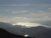
I'd
forotten I even had this shot and was so pleased when I rediscovered
it. A contre-jour study of Loch Linnhe, seen on the descent.
|

|
A wide-angle version of the above shot, looking across Lundavra to Loch Linnhe.
|

|
Another view of the confluence of Loch Linnhe and Loch Eil.
|

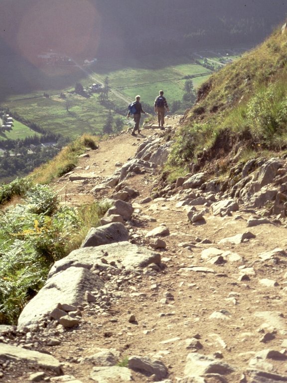
|
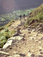
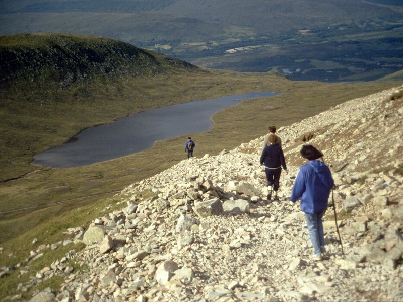
Walkers descending the path, with Lochan Meall an t-Suidhe in the bakground.
|

|
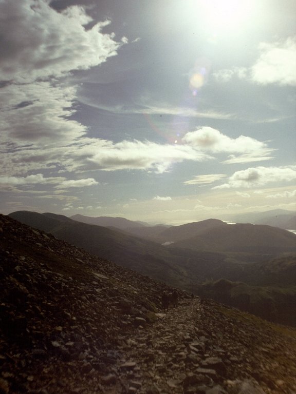
Another contre-jour shot, the path in the foreground and Loch Linnhe and Lundavra, seen across Glen Nevis, in the distance.
|
|
The Red Burn seen in late afternoon sunshine from the shoulder of Meall an t-Suidhe
|

|
One of the two aluminium footbridges that cross streams running off the hill.
|
|
The path just beyond the footbridge seen in the picture above.
|
|
A shot of Glen Nevis from the path.
|
|
The path descending the shoulder of Meall an t-Suidhe. The Glen Nevis youth hostel is below at this point.
|
|
A final view into Glen Nevis as the path approaches Achintee Farm at the end of the walk.
|


