
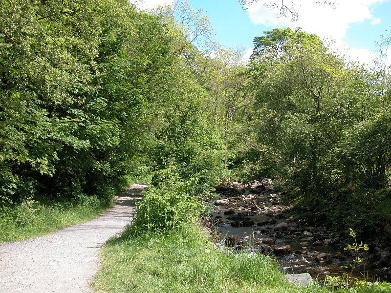
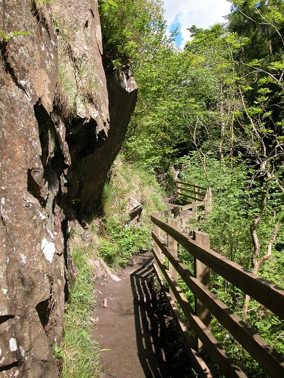
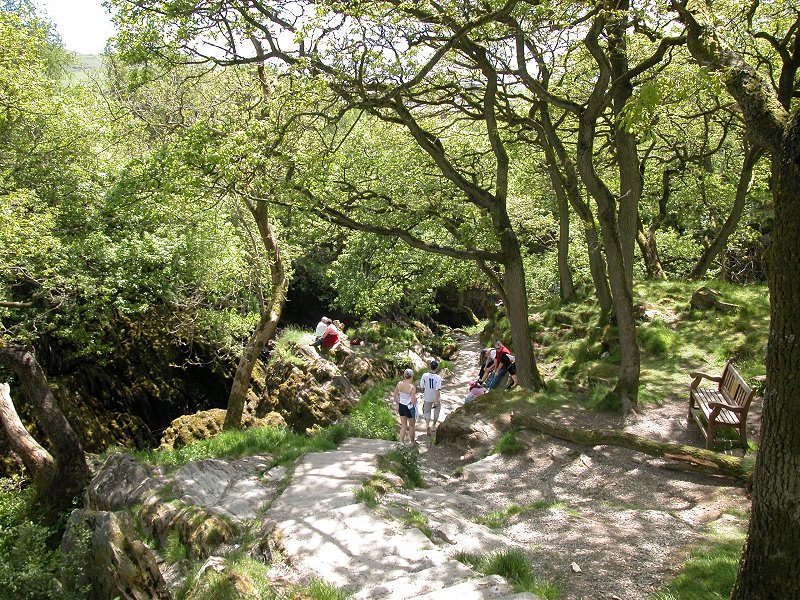
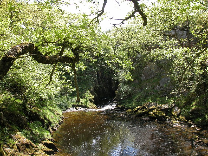
From the car
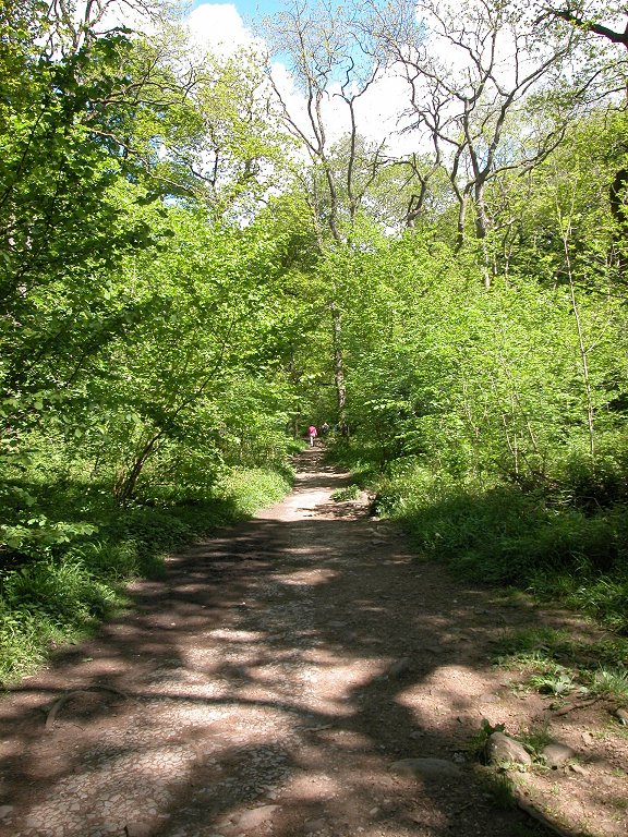
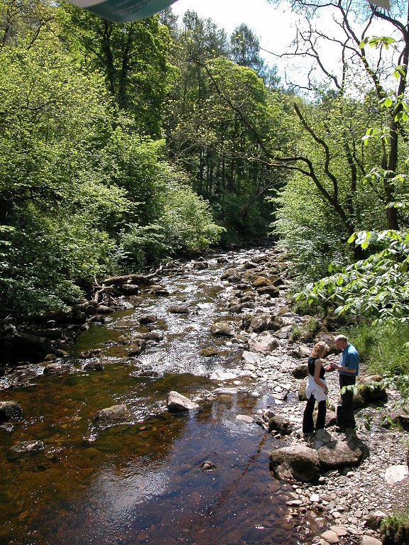
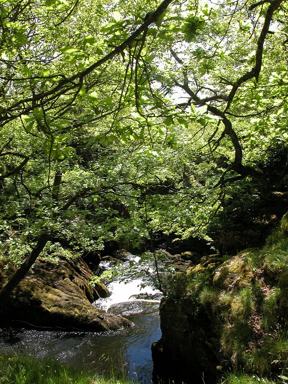
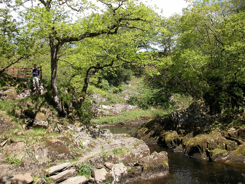
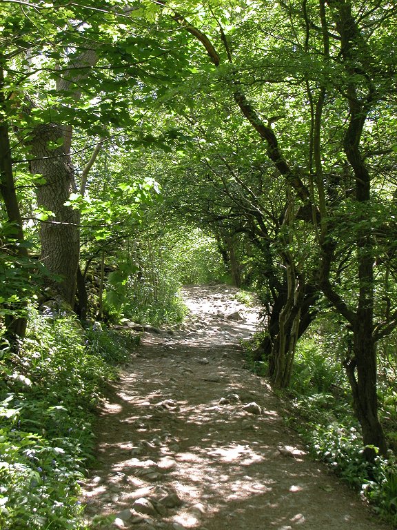
park and shop / cafe at the Ingleton end of the Twiss, the route runs
initially along the west bank of the river through woodland, to arrive
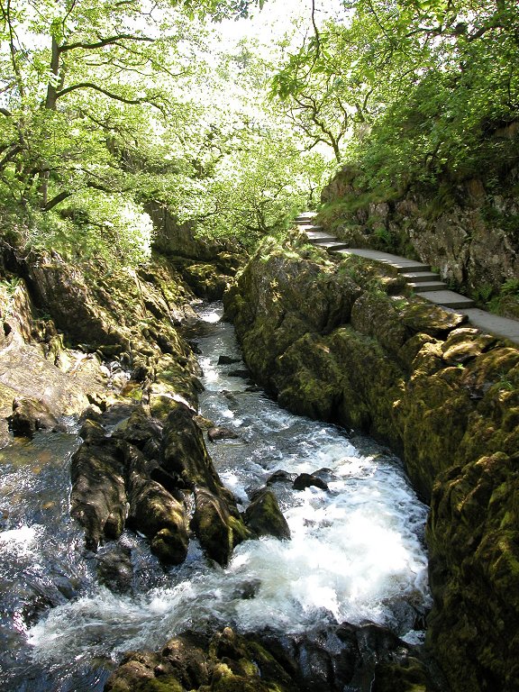
at the locality of Swilla Glen, seen here. The highlight of Swilla Glen
is this rocky dell cut deep into the limestone.
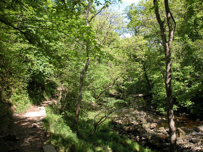
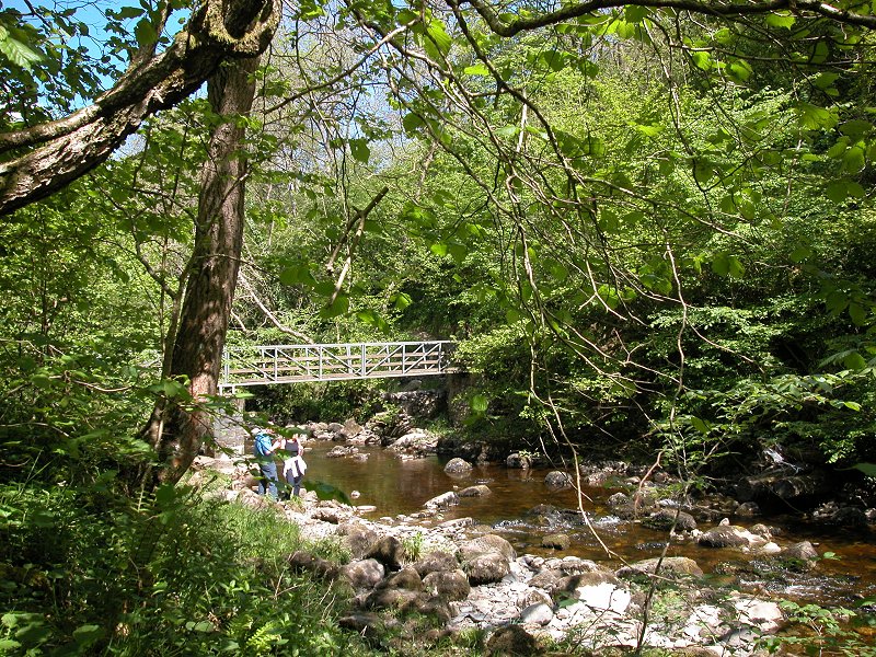
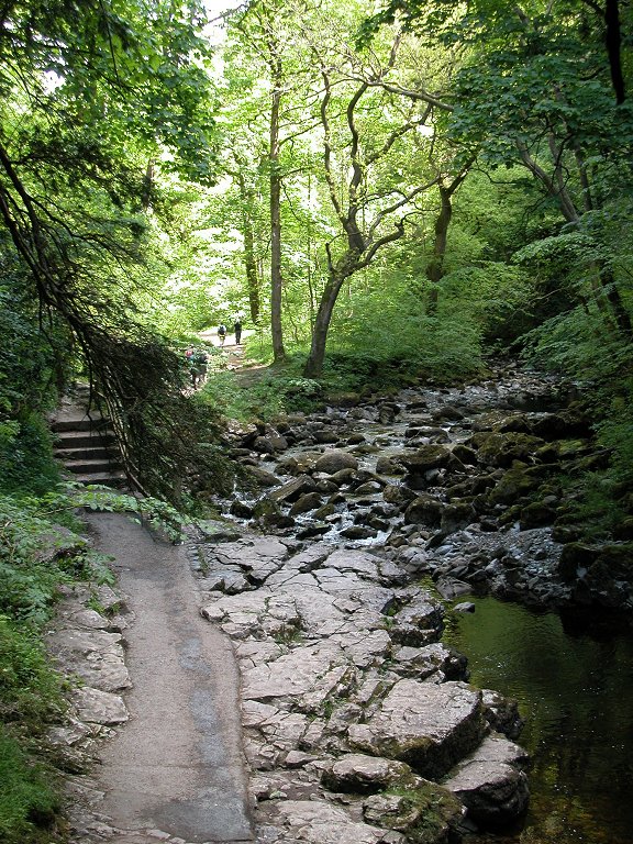
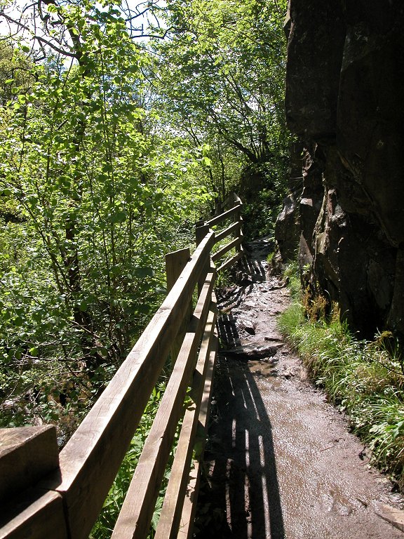
North of Swilla
Glen the path crosses to the east bank by way of Manor Bridge, and
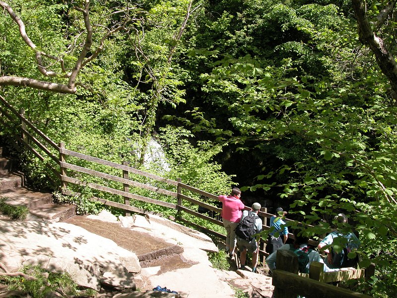
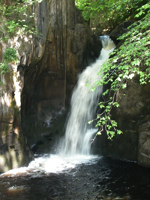
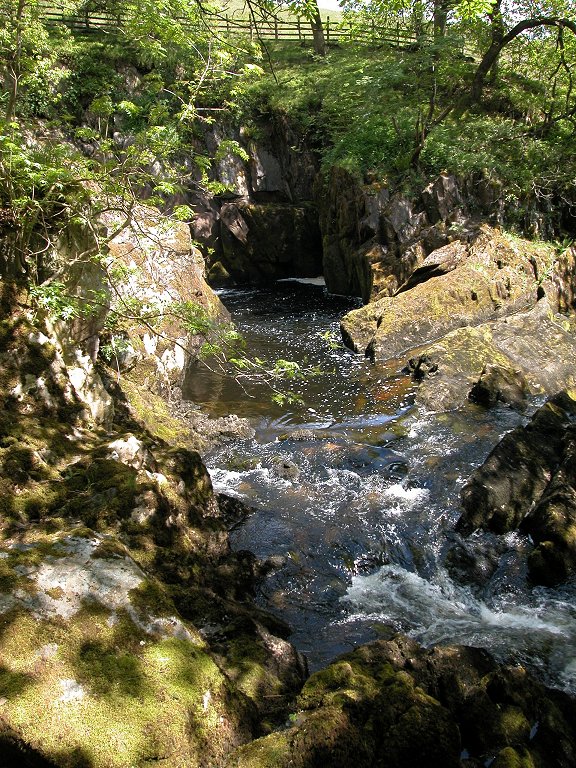
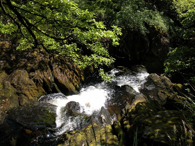
beyond here is Pecca Glen. You soon arrive at the first waterfall, the
lower Pecca Falls.

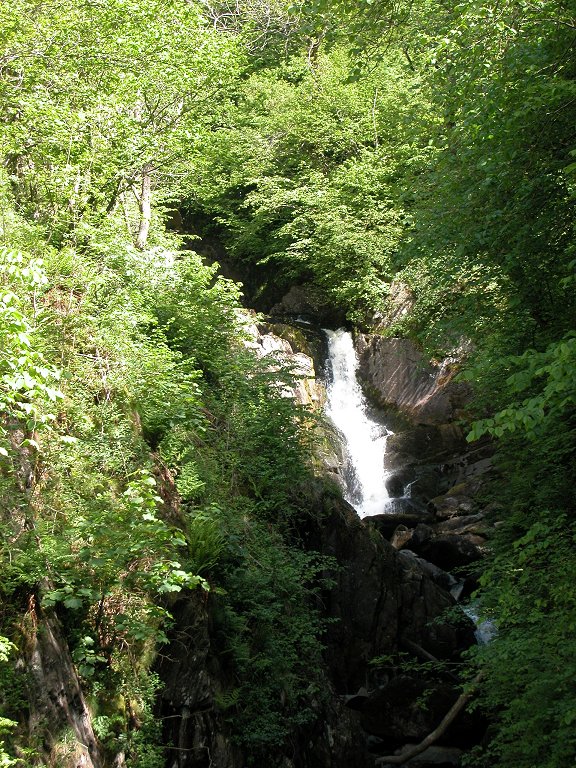
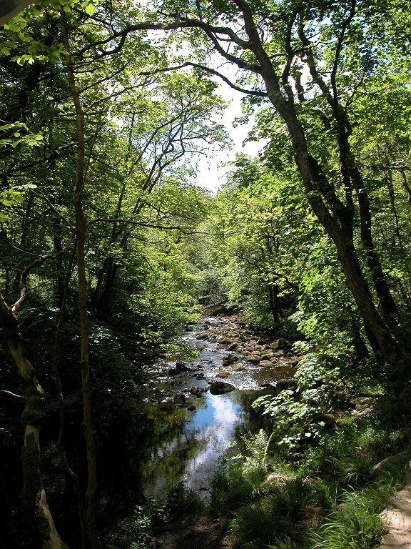
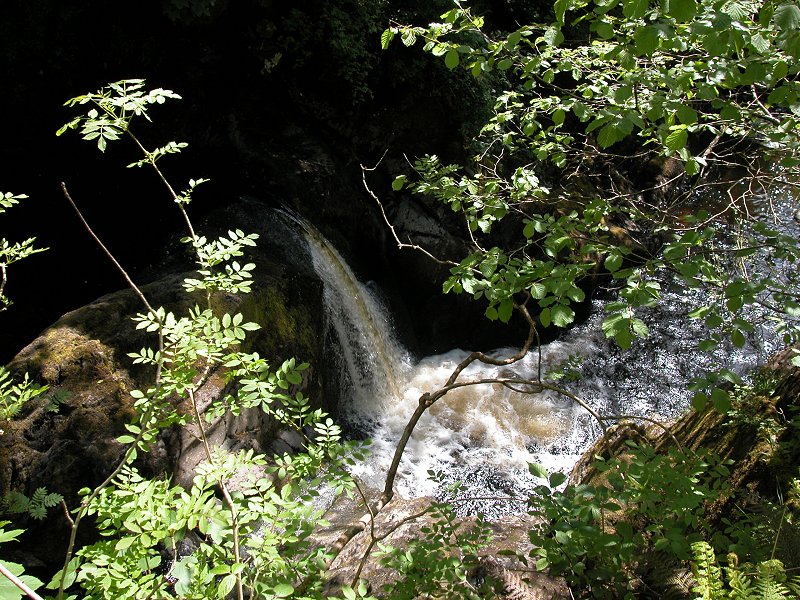
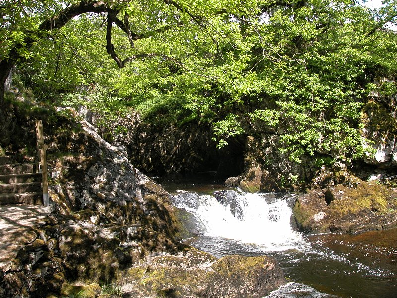
There are five
falls in this series, most of them provided with wooden observation
platforms, but not all of them are easy to see. The falls drop almost
100 feet over sills of sandstone, and the connecting path is carried
along an airy series of zigzags after crossing back to the west bank
via Pecca Bridge.

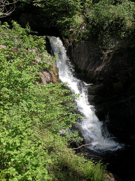
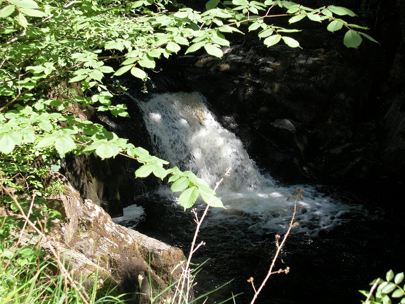
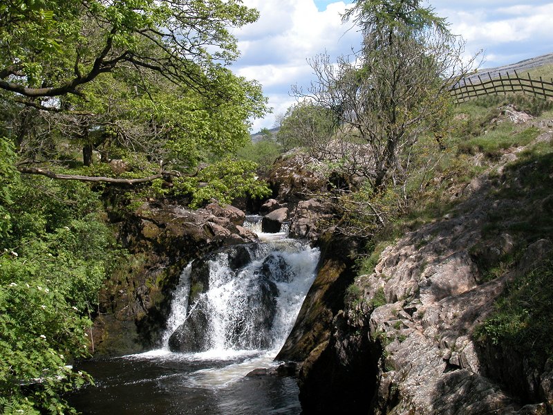
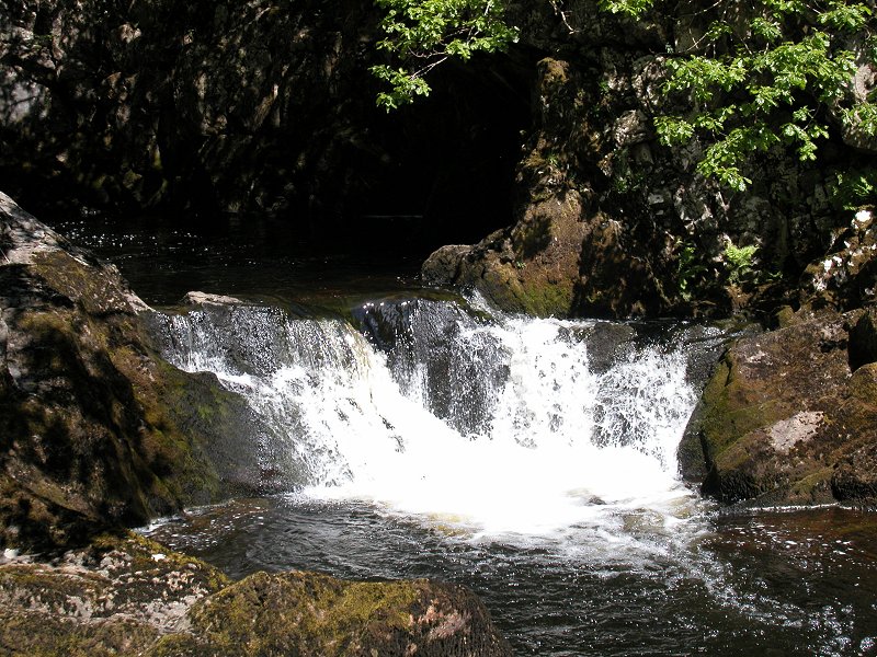
Next you come to
Pecca Twin Falls, not high but quite wide, formed of twin drops under
normal flow conditions (in spate these would join up into one wide
cascade).
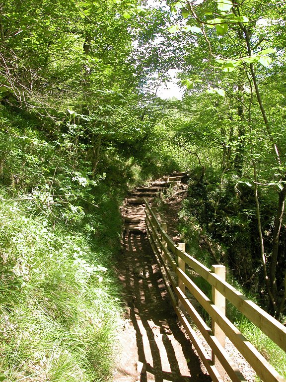
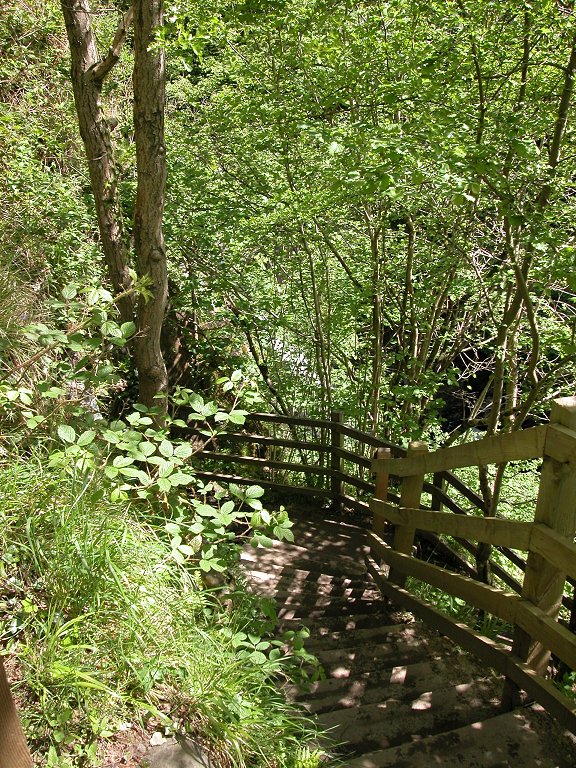
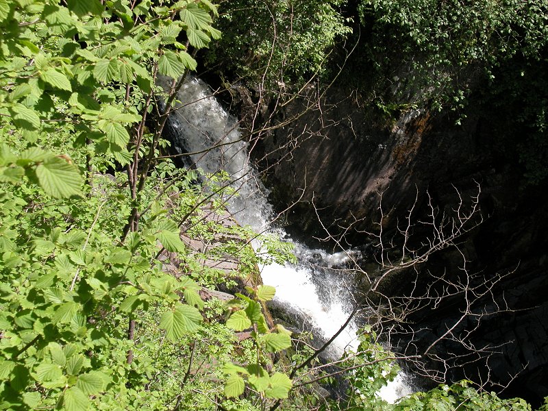
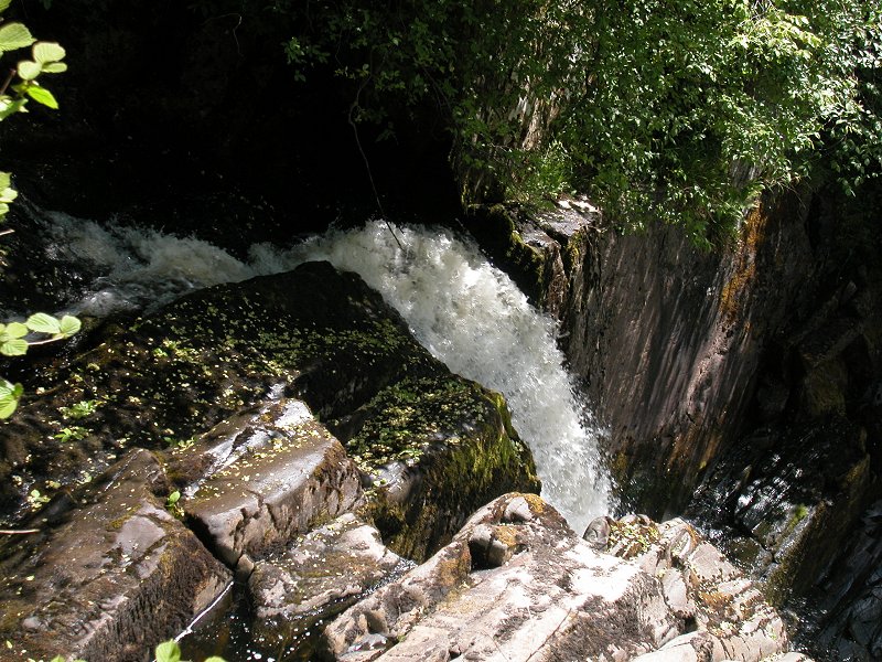
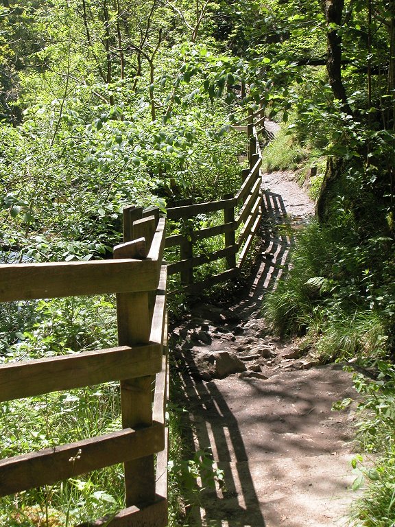
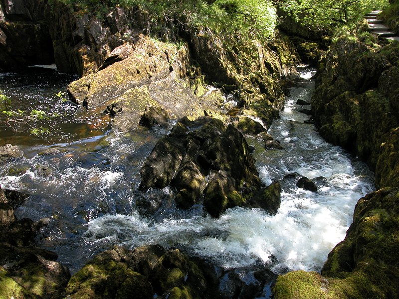
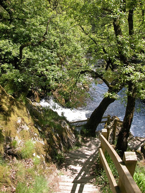
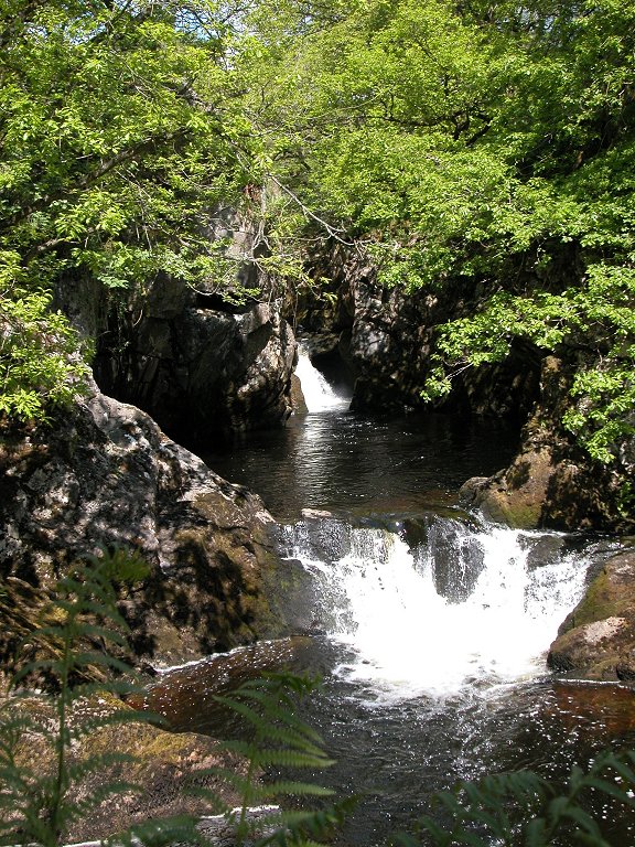
The path
continues along steep wooden walkways and rocky terraces to reach
Hollybush Spout, a fall of around 30 feet set deeply within a narrow,
rocky cleft.
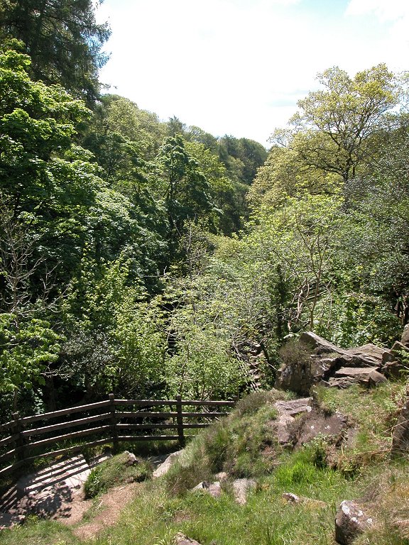
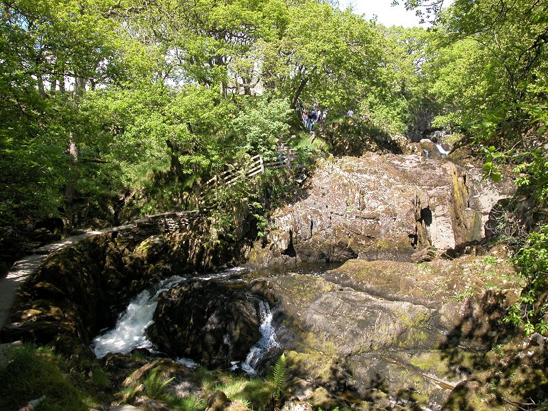
Above Hollybush
Spout the walk suddenly clears the trees and you find yourself in an
open area immediately south of a huge bowl through which the river
curves to the right. A refreshment kiosk is situated here.
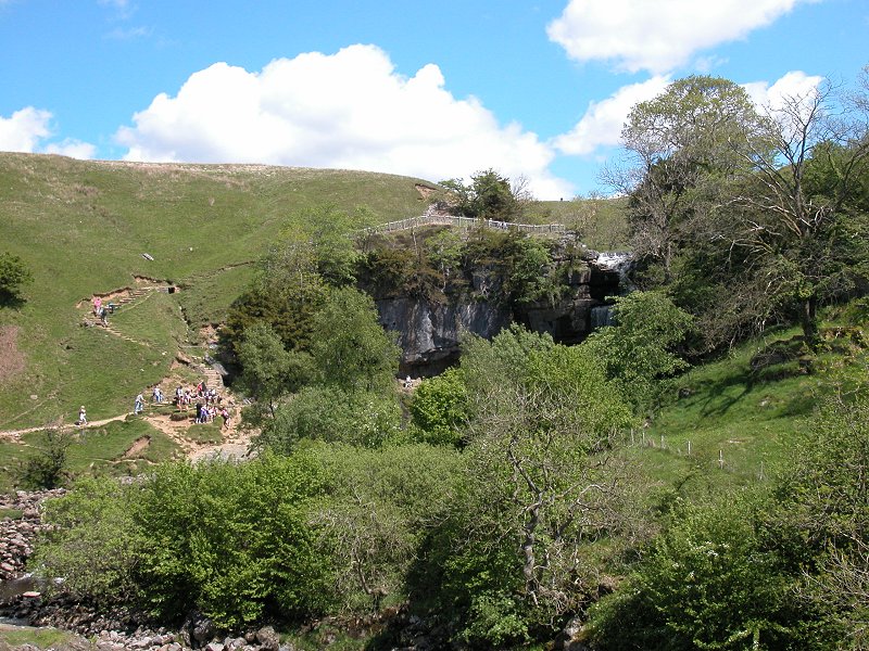
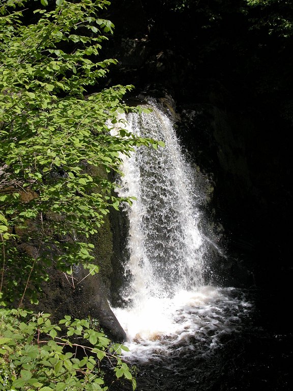
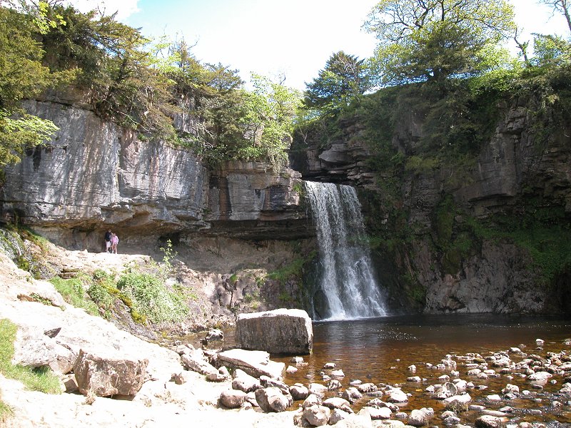
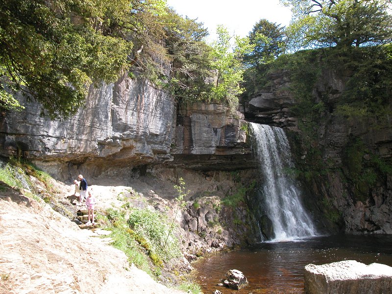
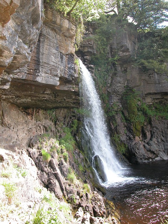
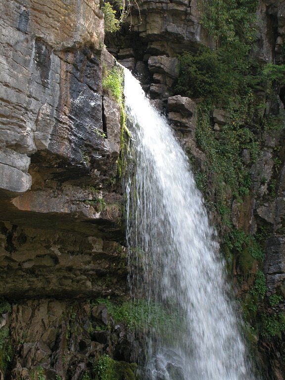
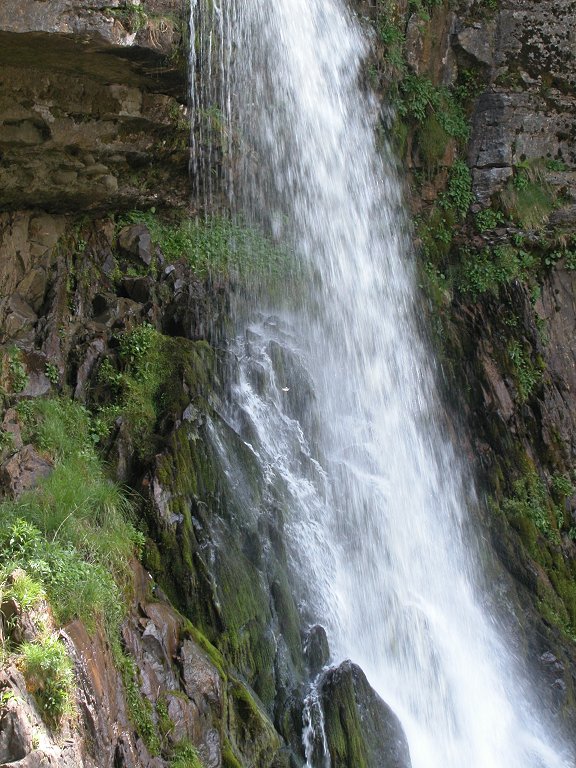
At the other end of the bowl is the scenic highlight of the Twiss - Thornton Force.
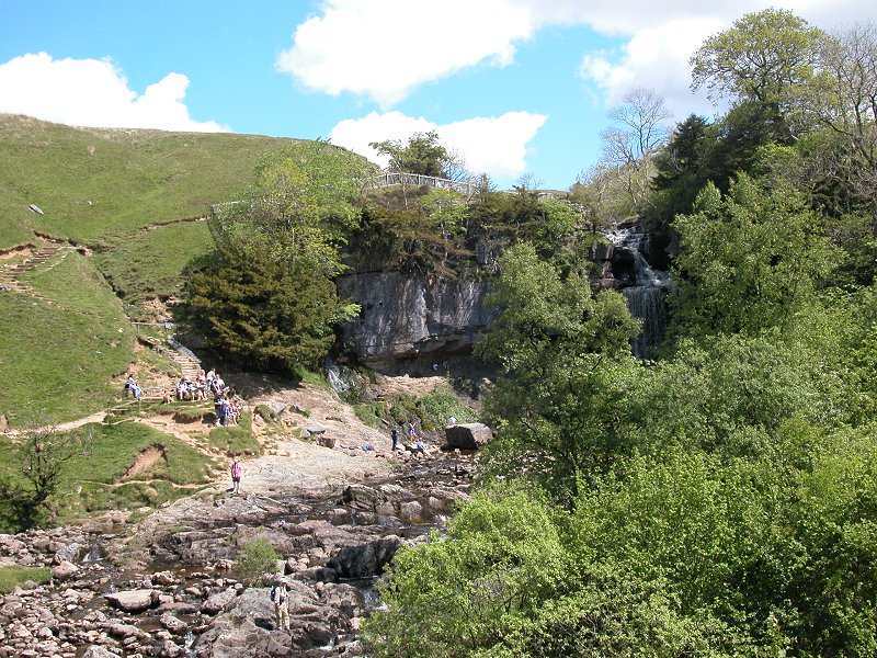
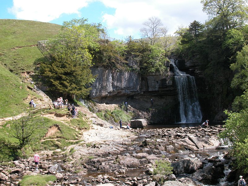

Thornton Force
is roughly 50 feet high and is undoubtedly England's most spectacular
waterfall. Not the biggest (which is High Force in Teesdale), nor the
highest (which is Hardrow Force in upper Wensleydale) but surely the
prettiest. Try to time your arrival here in the early afternoon, beforw
which the falls will be in shadow. The falls leap over a tree-lined
limestone cliff to plunge into a rocky pool, which in turn drains into
the rocky channel heading downstream to Hollybush Spout. There is an
overhang and, with care, it's possible to climb behind the fall.


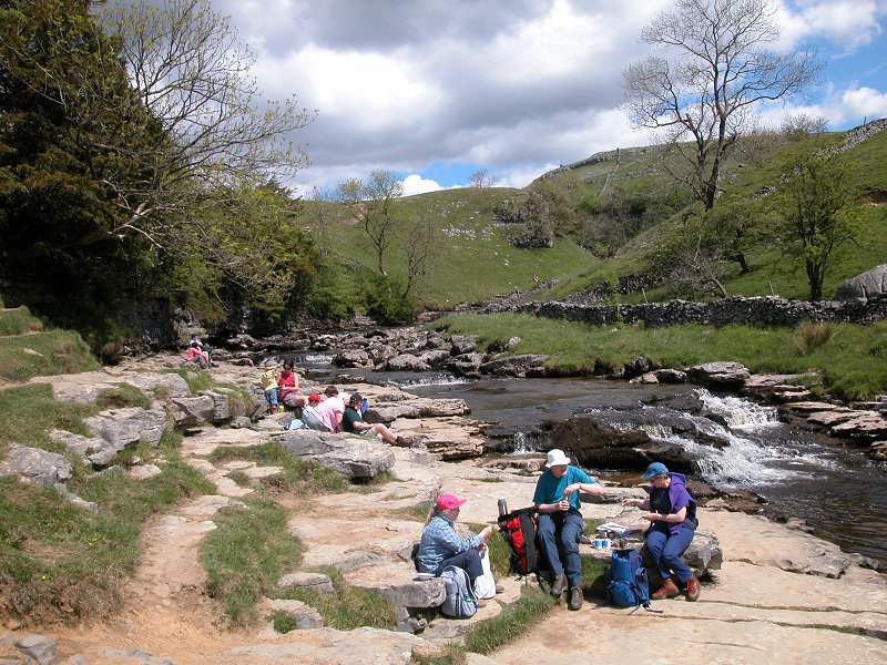
The path is
carried around the fall to the north by a flight of stone steps. The
feeder stream above runs through a wide grassy gorge, a popular picnic
site.
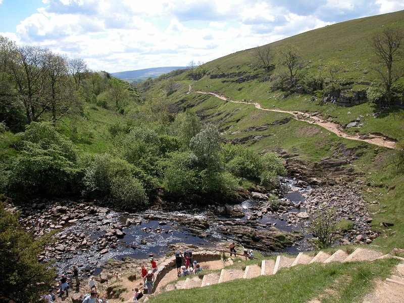
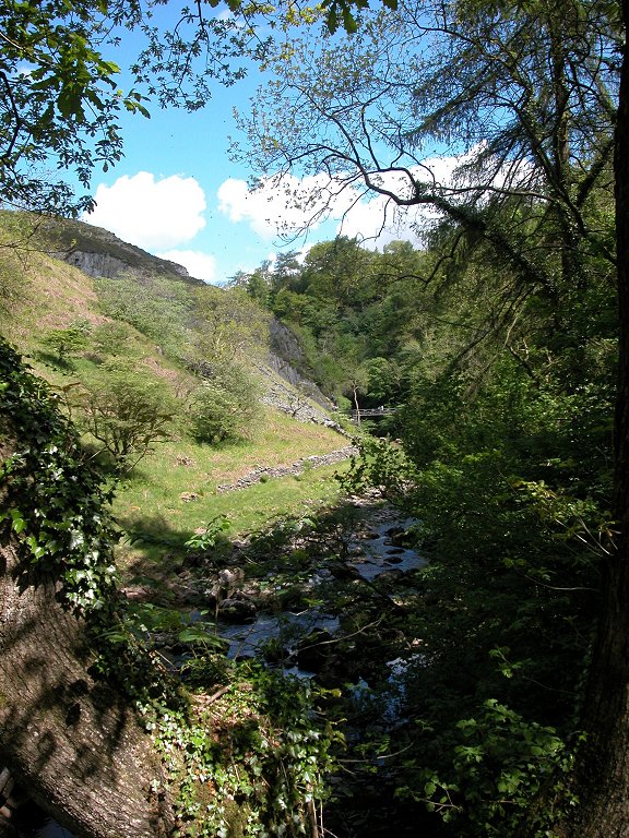
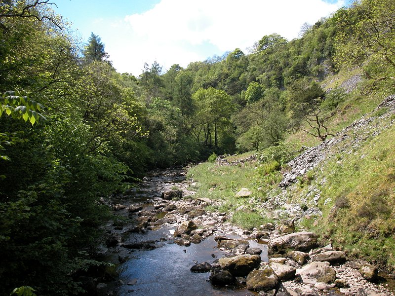
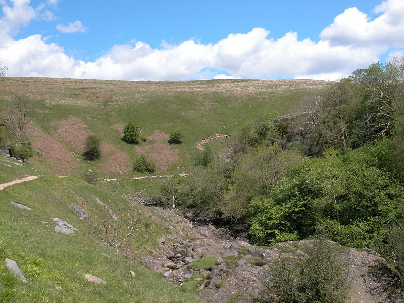
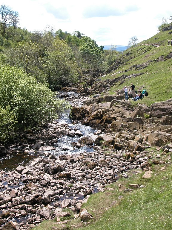
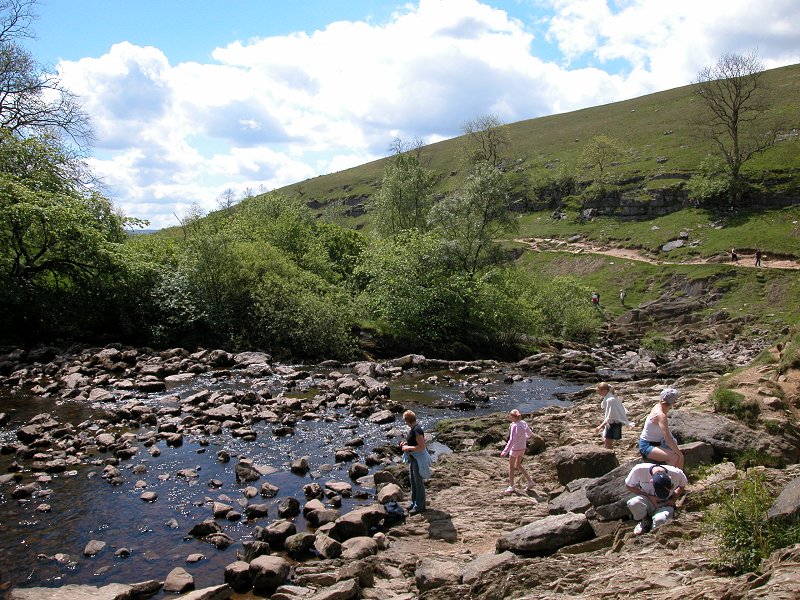
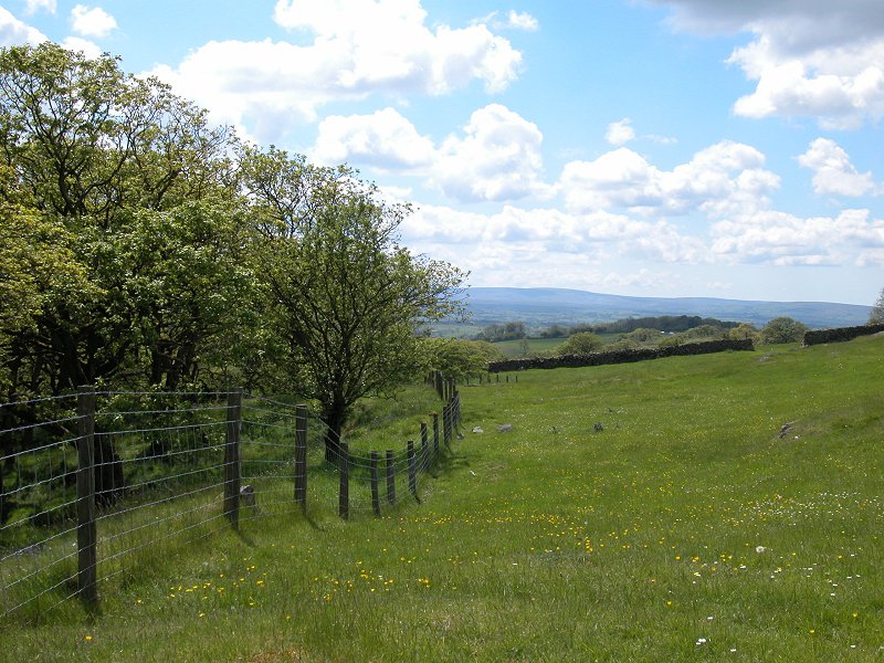
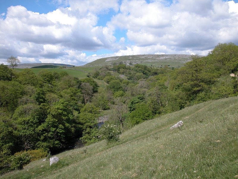
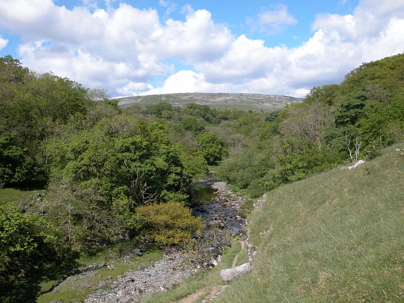
This is a
locality named Raven Ray, and the path follows the river high above a
left-hand curve to cross it at Raven Ray footbridge. To the north, the
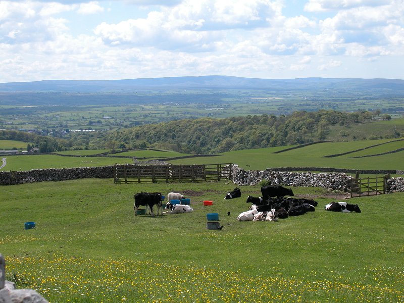
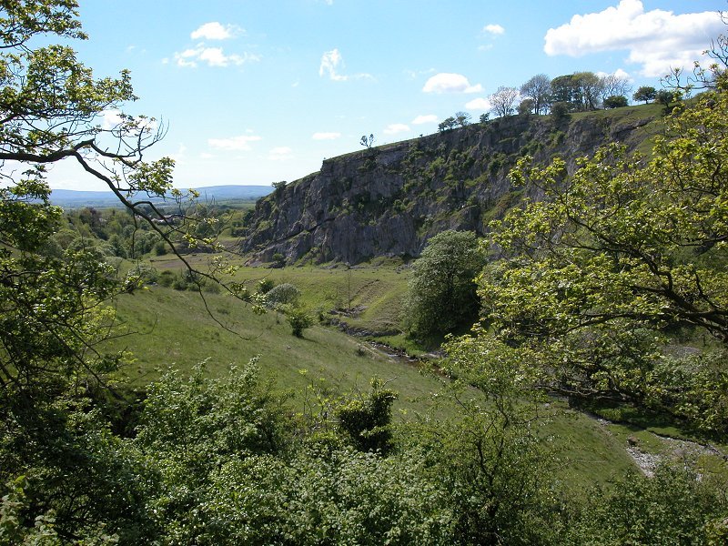
limestone slopes of Keld Head Scars rise to the summit of Gragareth.
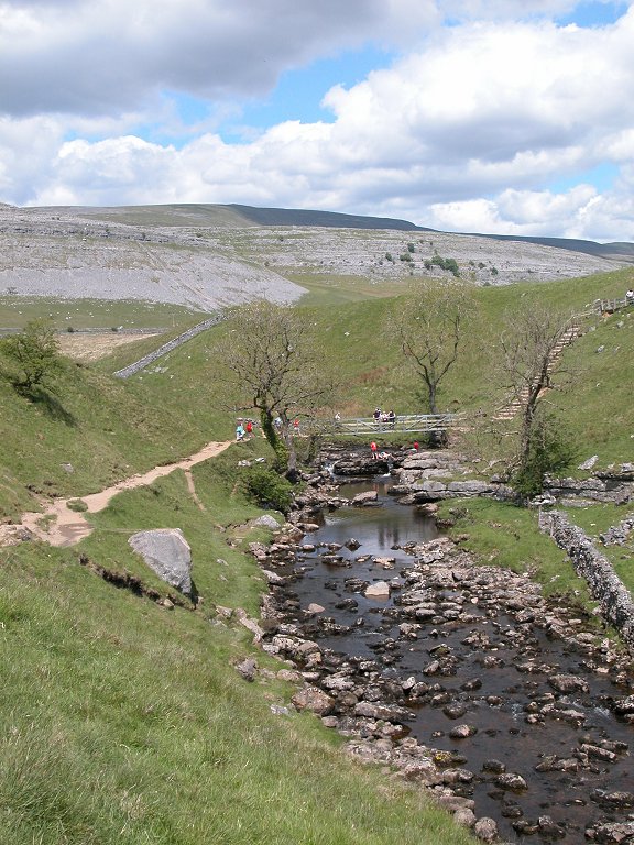
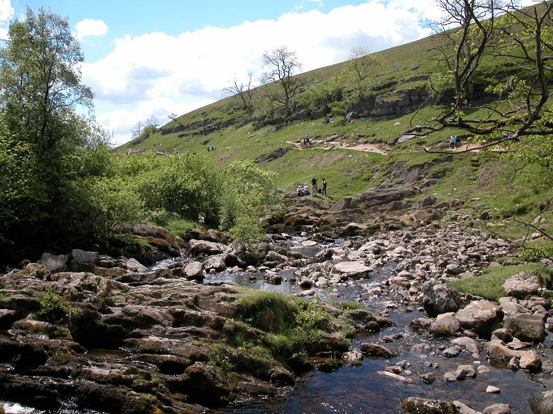
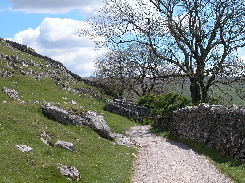
Above the
footbridge we join Twistleton Lane, a farm track and public footpath
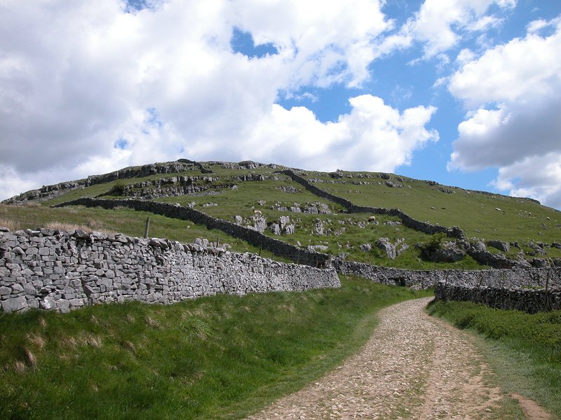
heading southeast under the limestone outcrops of Twistleton Scars
towards Scar End and Twistleton Hall farms.
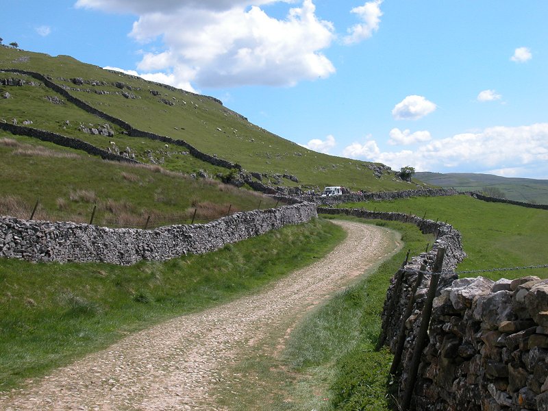
Beyond
Twistleton Hall the lane heads downhill to Beezley's Farm on the
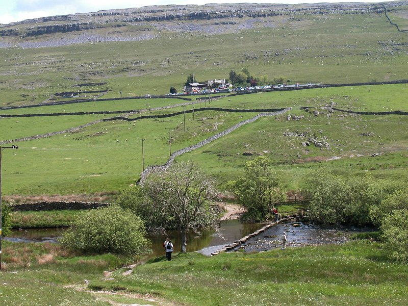
Chapel-le-Dale road. Just across the river Doe (crossed by a series of
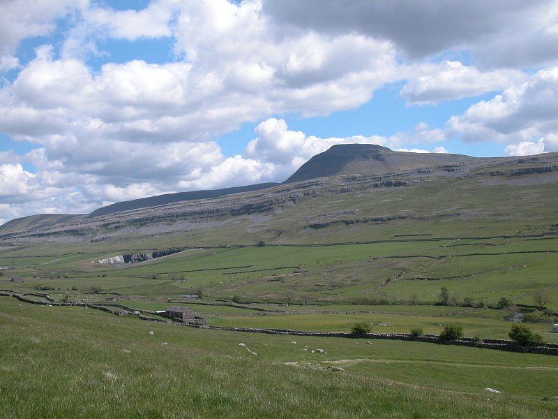
stepping stones) are White Scar Caves, on the lower slopes of
Ingleborough, whose flat top towers above the valley.
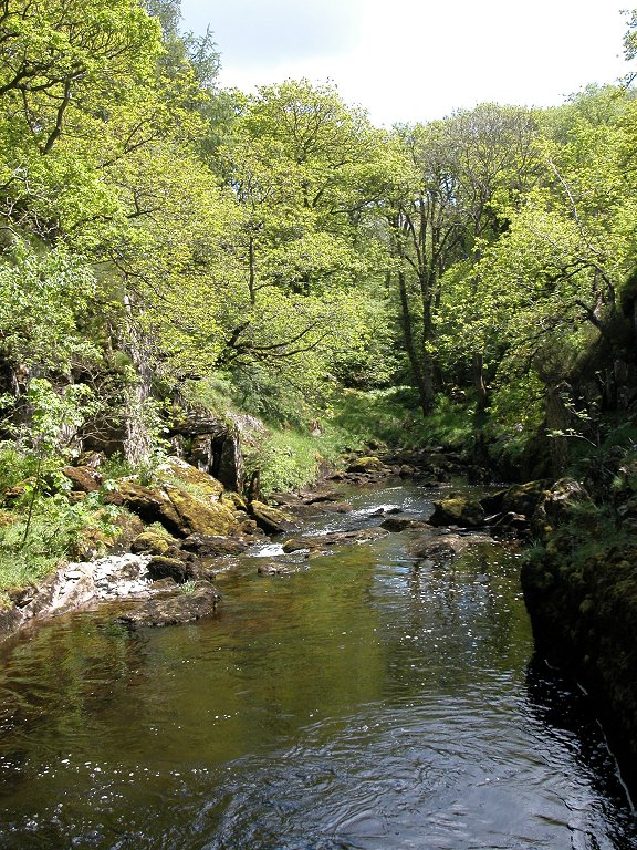
At Beezley's
Farm the route runs down into the wood to join the river Doe and the
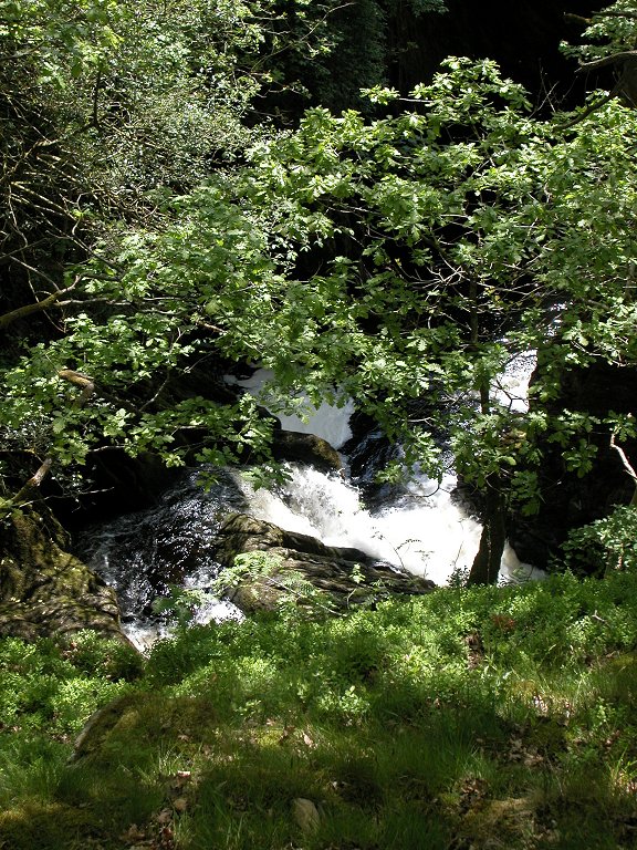
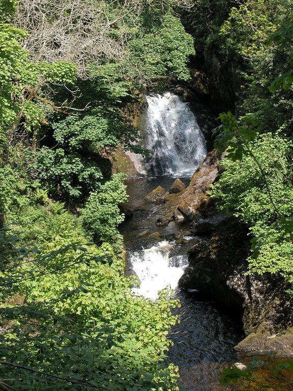
second arm of the waterfalls walk. Immediately you encounter Beezley
Falls.

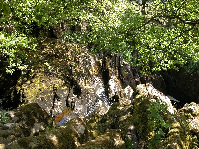
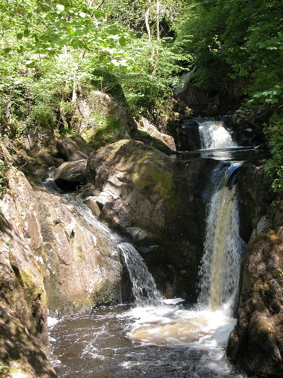
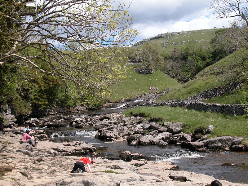
Immediately
below Beezley Falls the river turns to the left in a narrow rocky
gorge, and here you find the Triple Spout, three falls side by side. As
well as the waterfalls the rock and woodland scenery here is first
class.
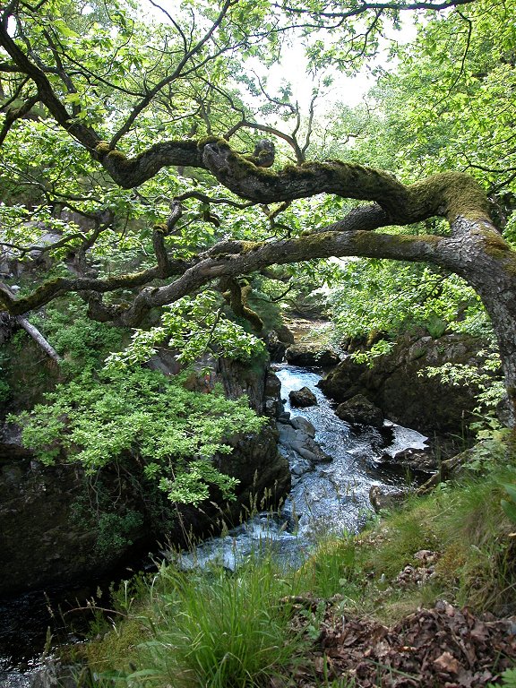
Further cascades
and rapids enliven the airy walk through the gorge. Once again the path
is carries along rocky terraces and wooden walkways along the west bank
of the river, to arrive at Rival Falls a few hundred metres south of
Beezley Falls. Rival falls features two cascades seperated by a plunge
pool. The lower cascade usually seperates into two falls either side of
a rocky knobble.
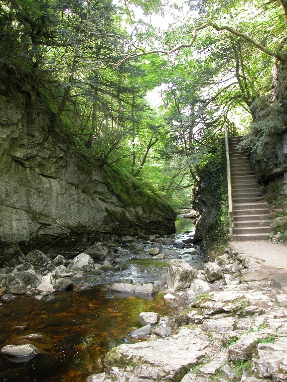
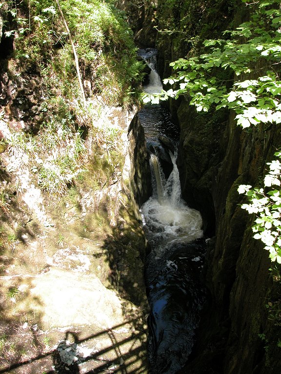
South of Rival
Falls is the Doe's scenic gem, Baxenghyll Gorge. Here the Doe carves a
deep, narrow gorge sixty feet down into the rock. A number of twists
and turns keep the interest at maximum and ensure a new scenic vista
every few yards. At a strategic spot a viewing platform is slung high
above the gorge. It's not a place for those with a fear of heights, and
it's also not a good idea to crowd the platform - if there are a number
of people on it or waiting for access, allow them to clear. There are
several falls within the gorge, presumably Baxengyll Force but the map
doesn't say.
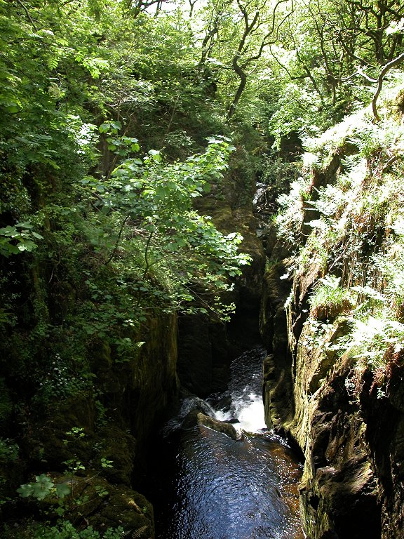


The gorge opens
out into the first of several rocky dells. The first of these features
limestone shelves falling to the riverbank. The river is very narrow
here and the adventurous can leap across. Immediately below this dell
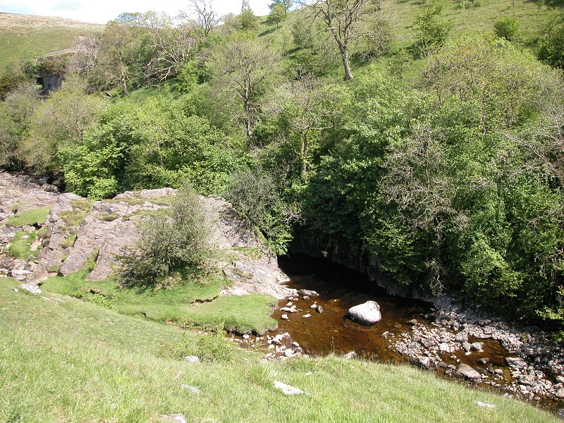
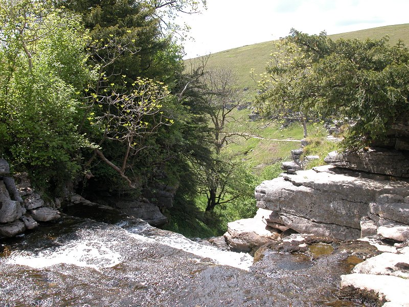
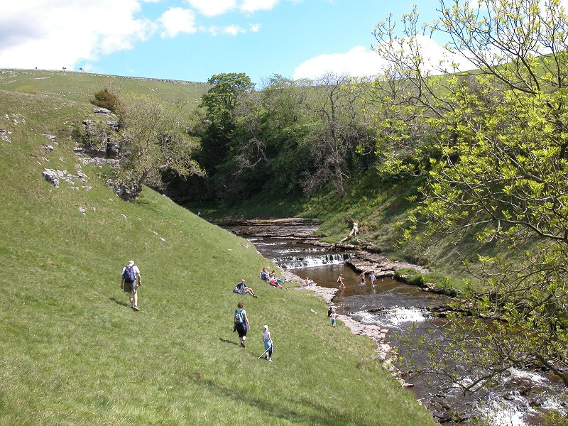
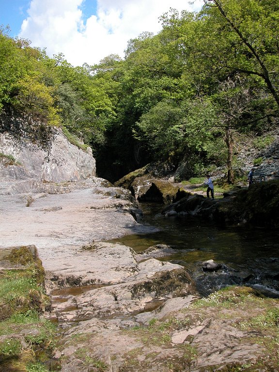
is the last of the cascades, Snow Falls.
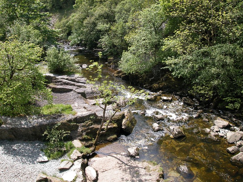
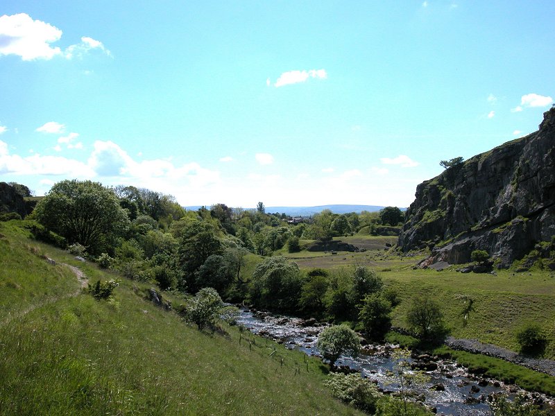
Below Snow Falls
a footbridge carries the path over to the east side of the Doe, and
below here is a wide rocky dell, another perfect picnic spot.
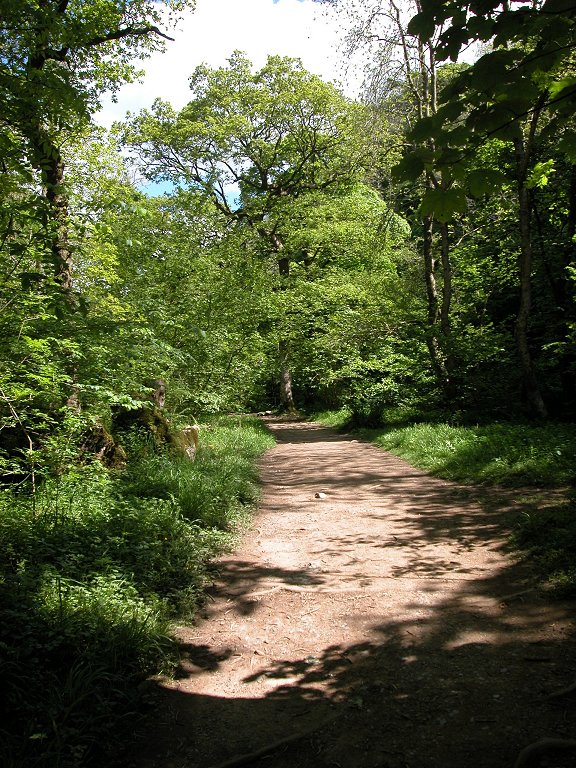
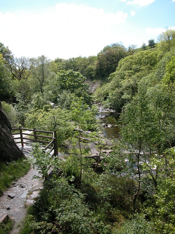
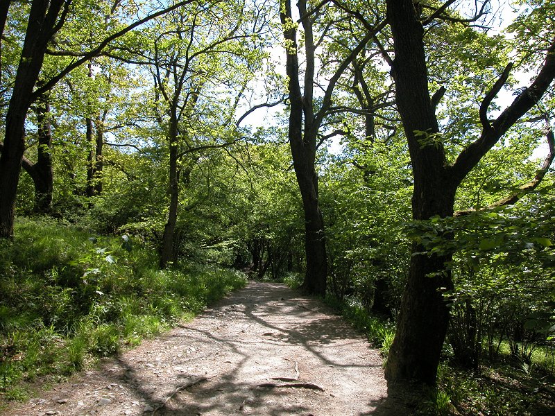
The path now
improves and runs through the woodlands of Twisleton Glen before coming
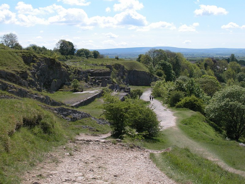
into an open area above Ingleton. On the opposite bank is an old
quarry which nature has reclaimed and which looks very picturesque.
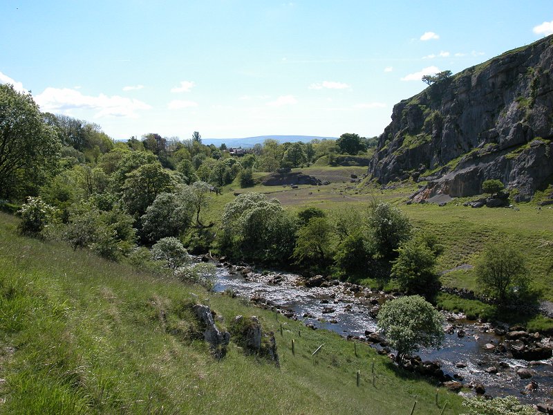
Just below this is the site of an old quarry workshop.
Opposite the old
quarry the private path of the Ingleton Waterfalls Company joins a
lane, a public footpath, which runs around a left-hand bend into
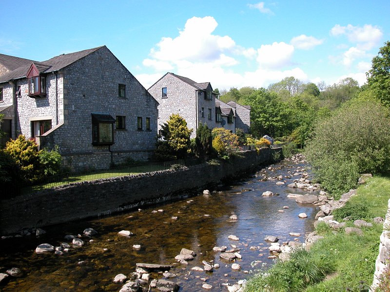
Ingleton village. Here you can explore a while, reward yourself with a
drink or an ice cream, and perhaps visit the riverside park.

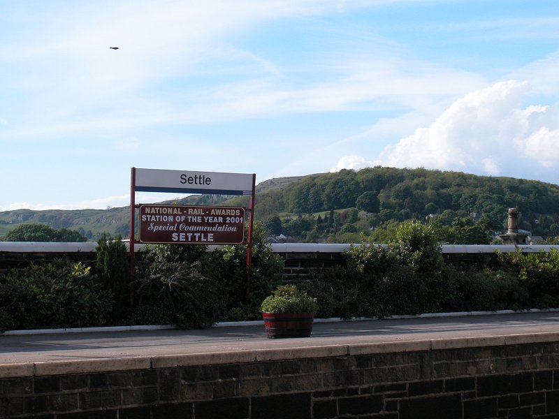
My journey took me back by bus to Settle and thence by train to Skipton. A thoroughly splendid day.

|
£5.00
inclusive
of postage / packing. |