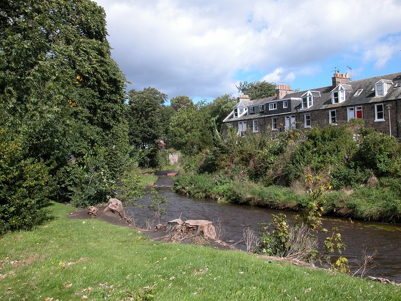
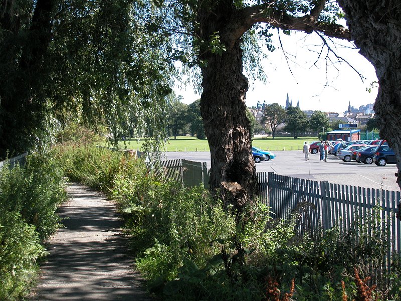
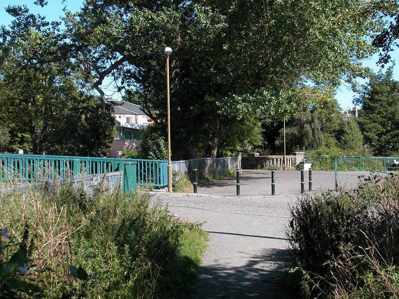
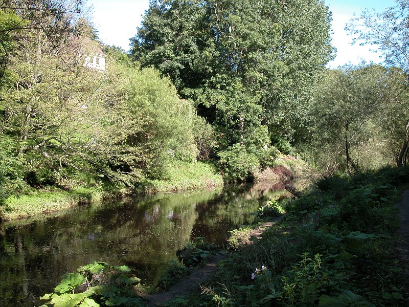
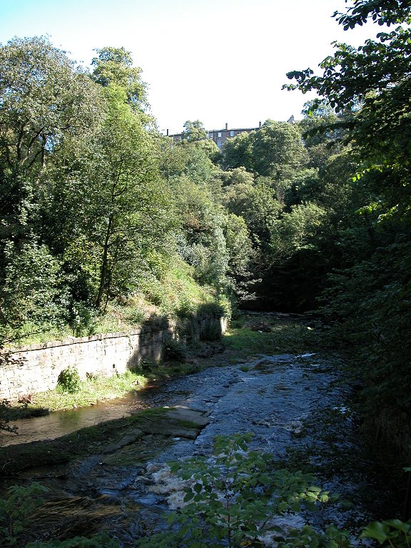
Slateford Park
is more or less
divided into two areas, ornamental gardens to the south and sports
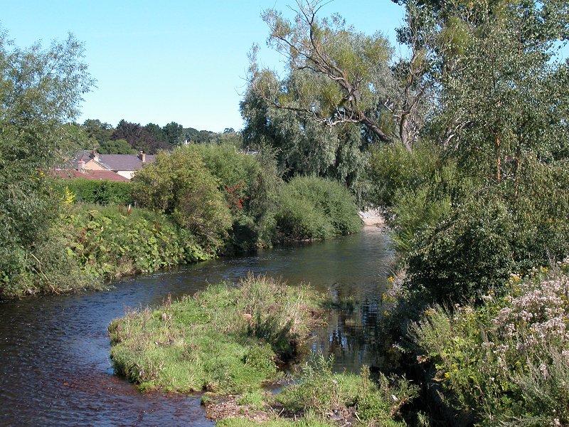
fields to the north, with the river running past on the eastern
boundary. Here's the river running out to the northeast away from the
park. It's nothing special here, just a stream running through a narrow
ribbon of trees. After a few hundred metres it dives underneath the
main Edinburgh to Glasgow railway line to emerge beside the grounds of
Murrayfield stadium.
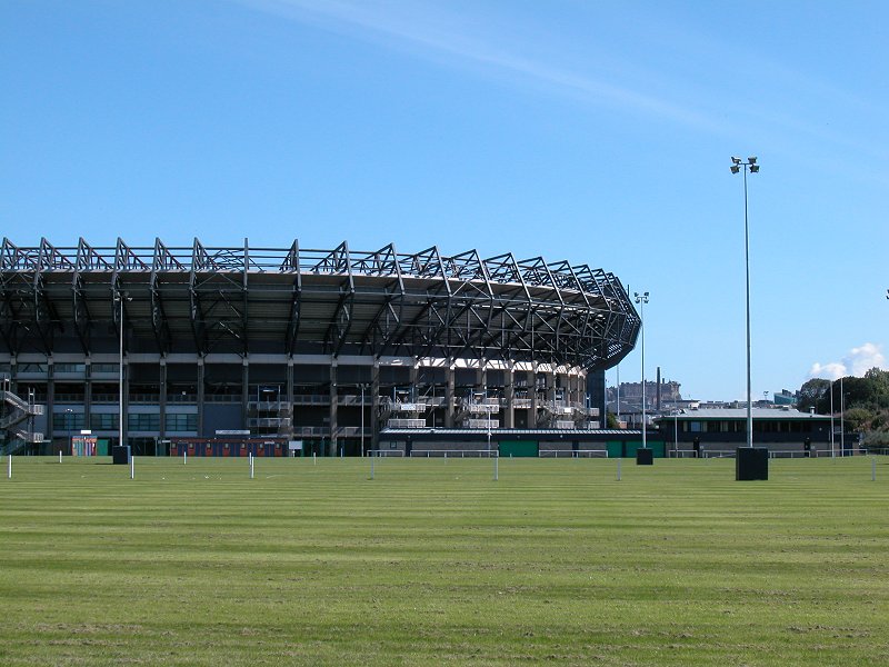
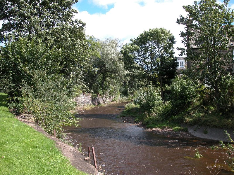
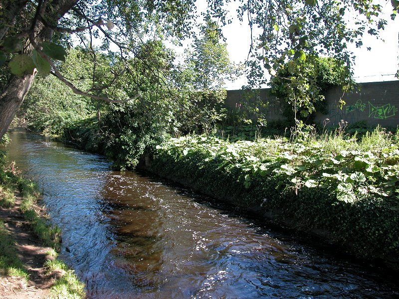
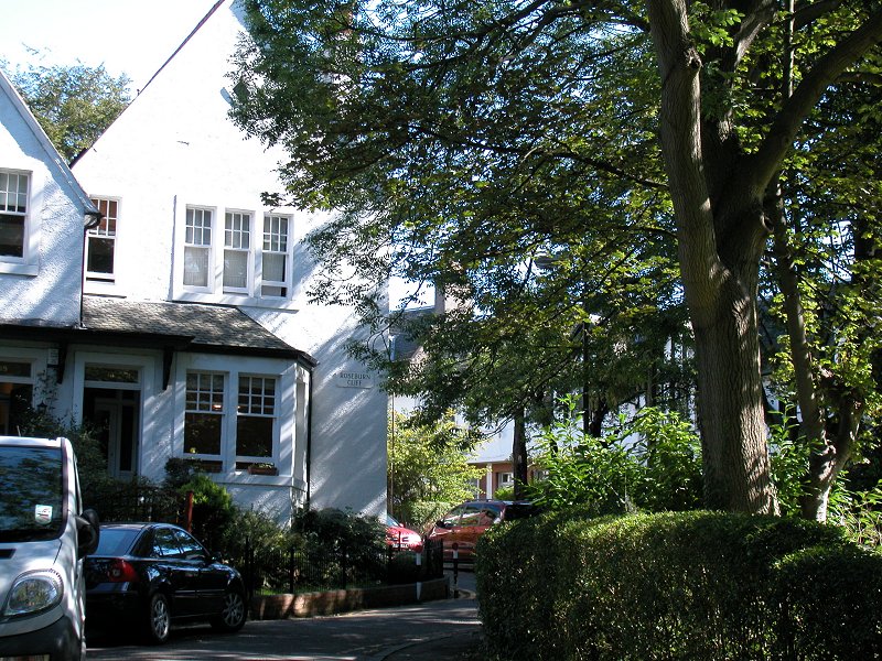
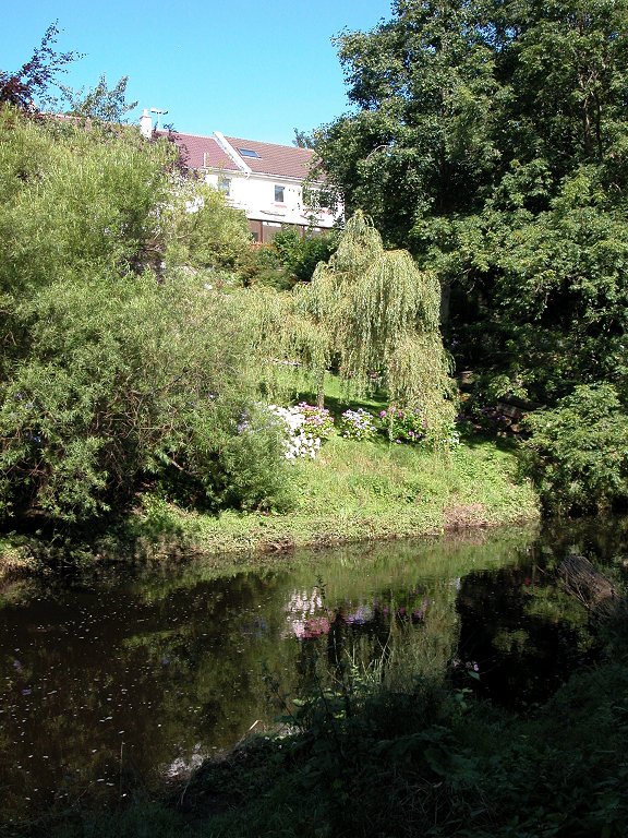
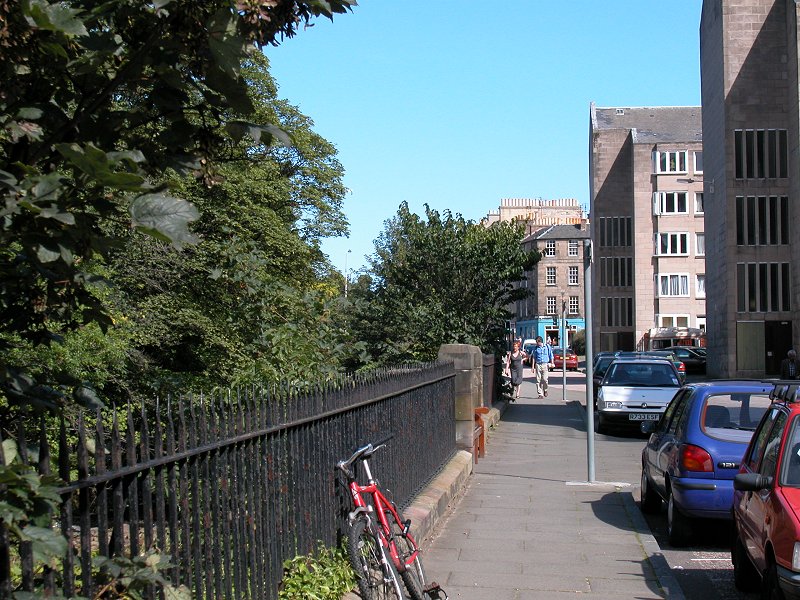
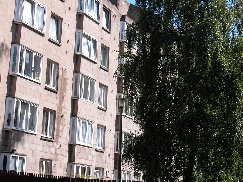
Murrayfield is
Scotlan's international rugby stadium and it stands among extensive
swards of training pitches, recreation grounds and parkland. The river
runs generally to the north of the grounds. Near Roseburn House it
disappears momentarily beneath a culvert and the riverside walkway is
routed through a couple of residential back streets before coming out
onto the main Costorphine road.
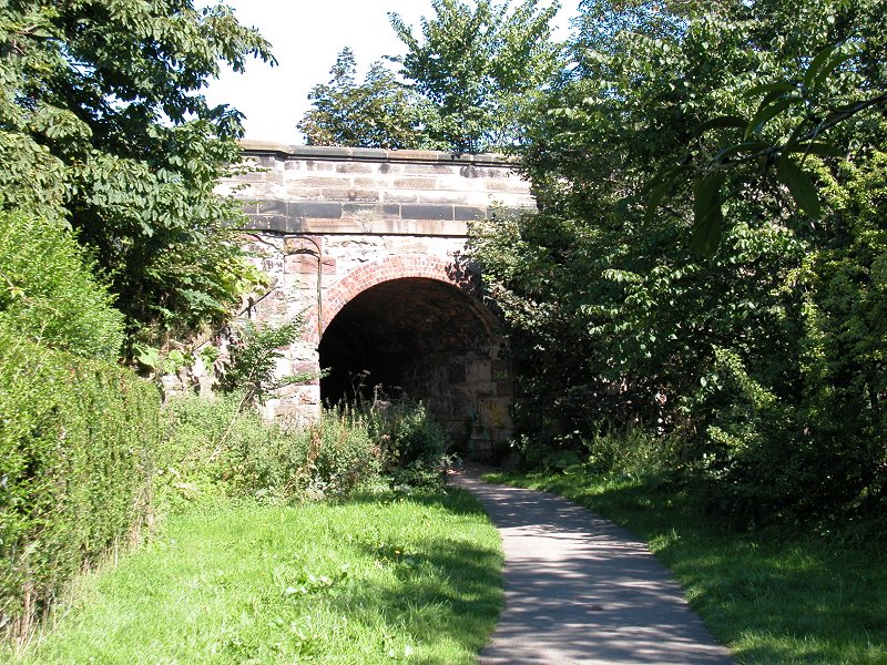
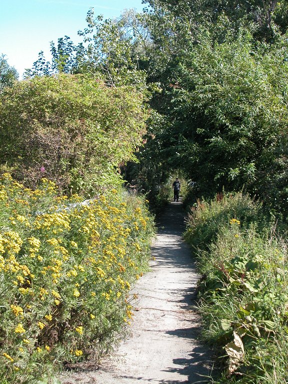
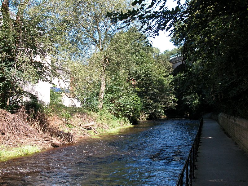
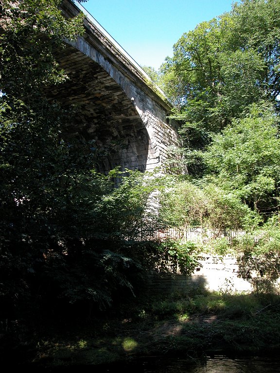
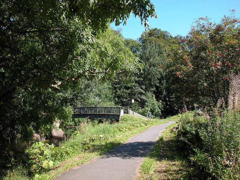
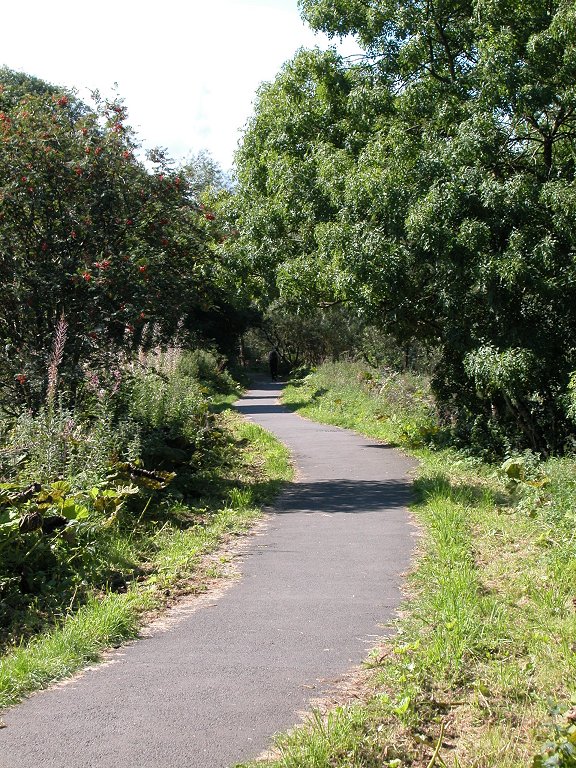
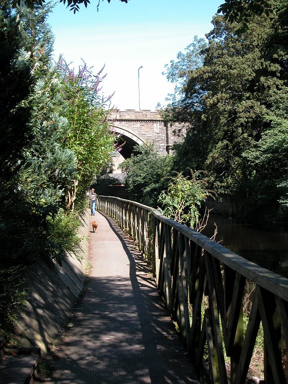
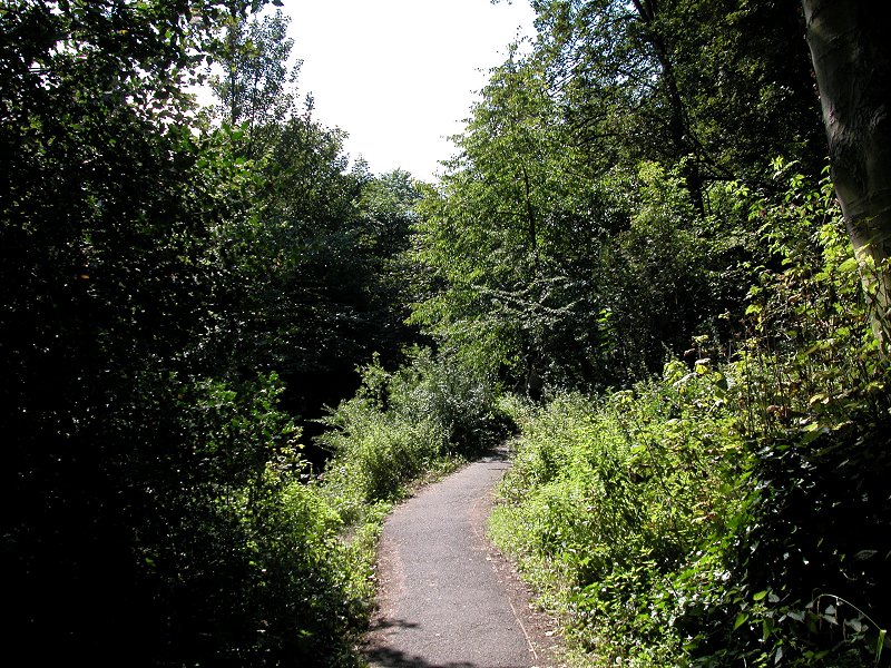
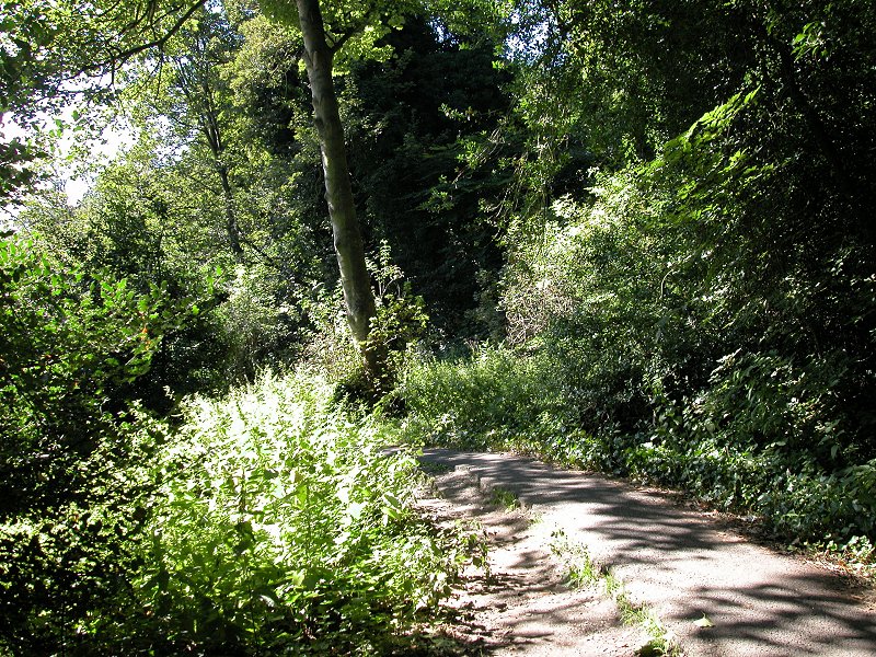
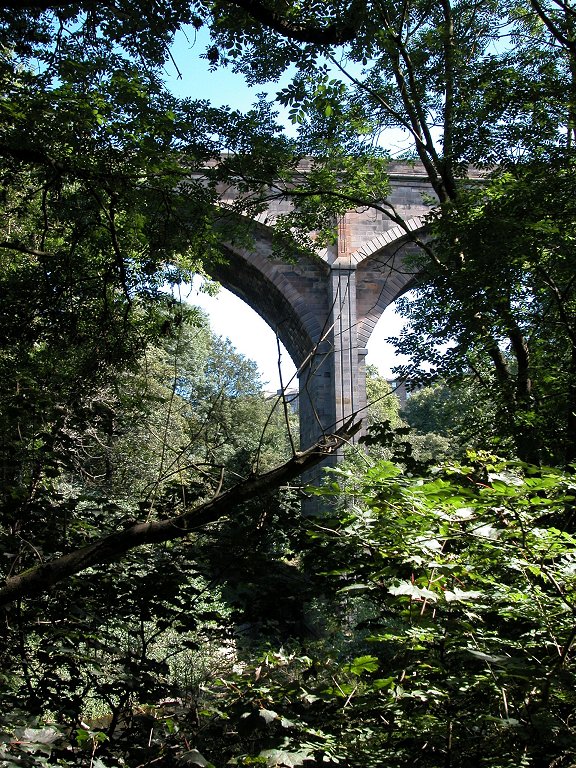
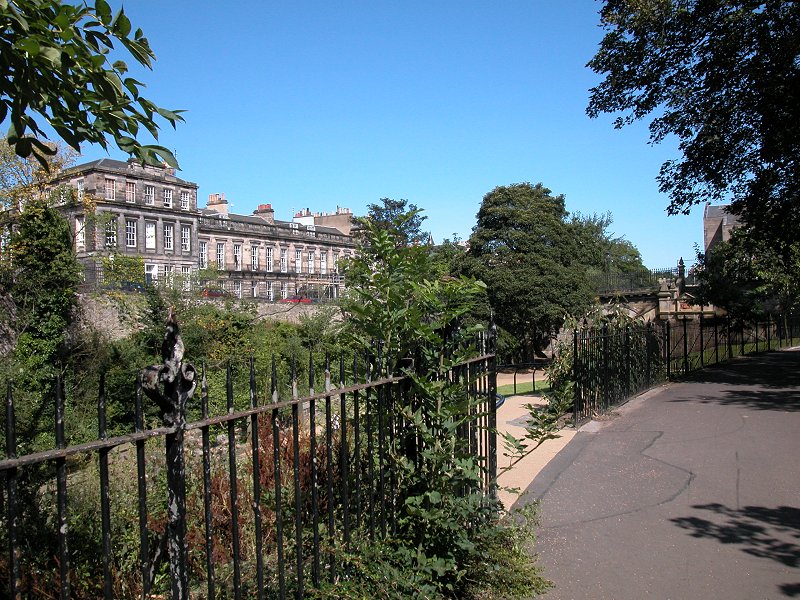
The Costorphine road is a brief flurry of activity and once across it the environs of the river begin to get more interesting.
The walkway follows the southeast bank underneath the high viaduct of
an abandoned railway line, and then suddenly all is peace and greenery.
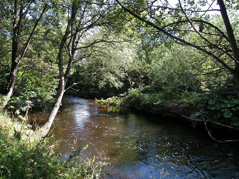
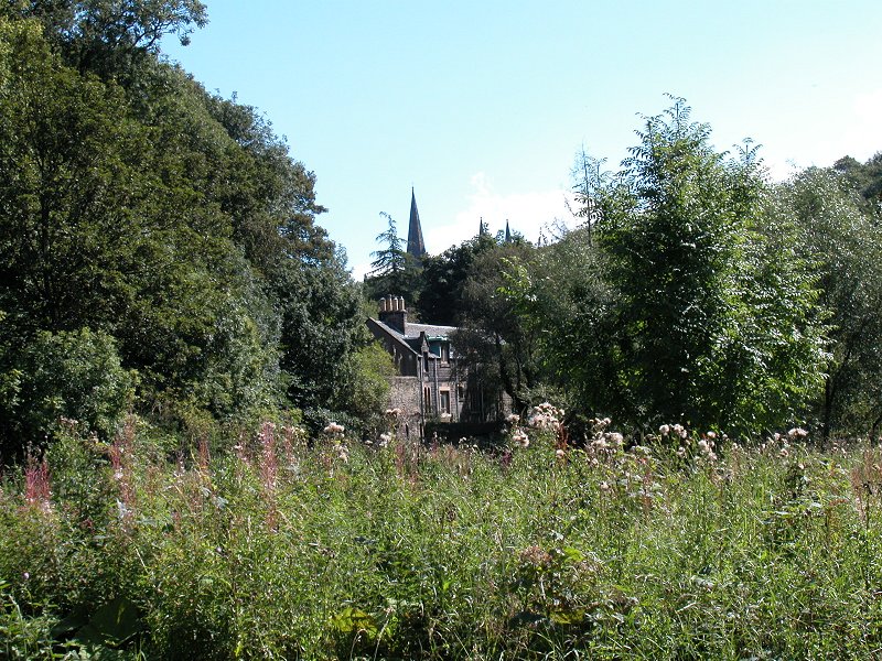
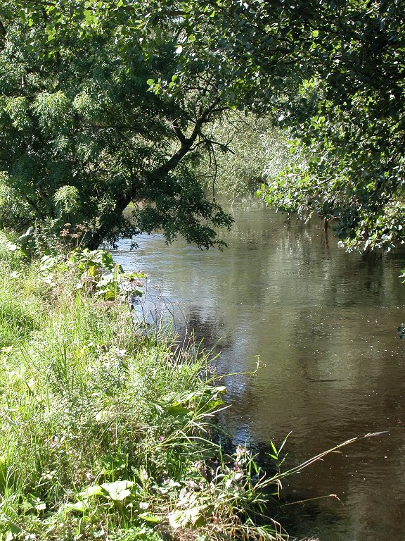
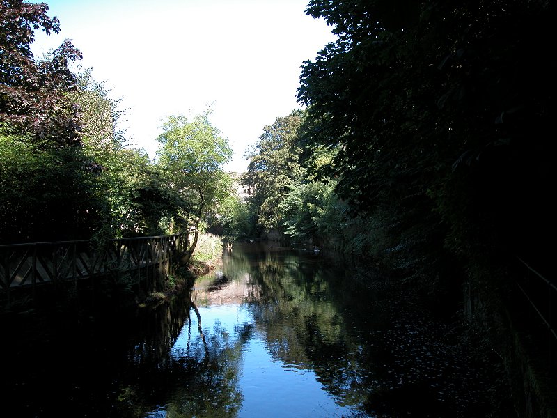
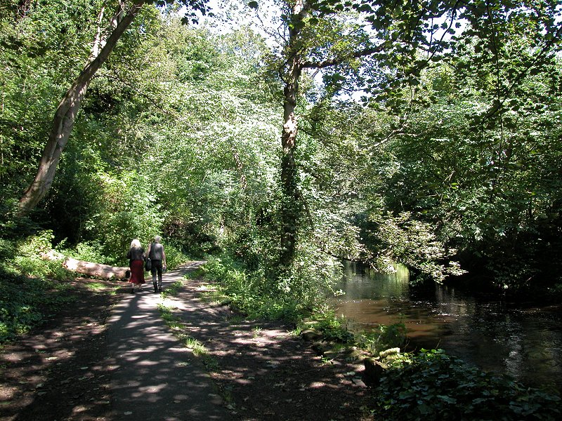
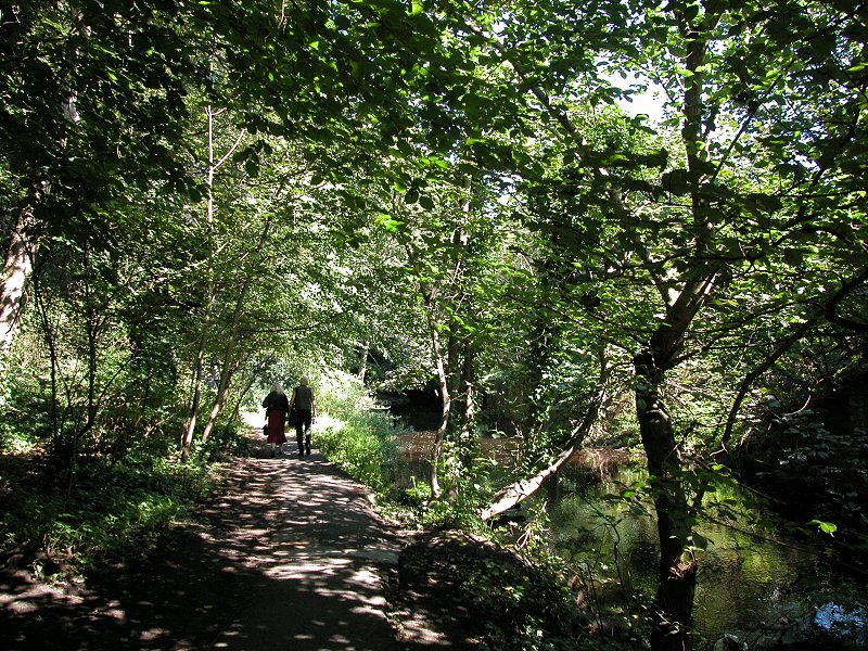
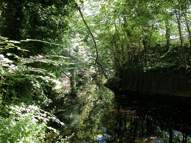
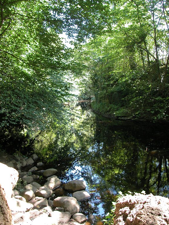
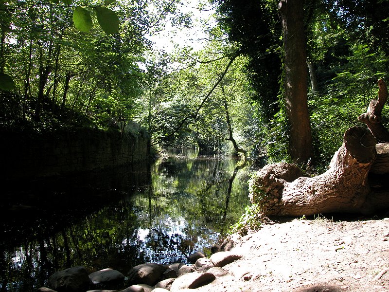
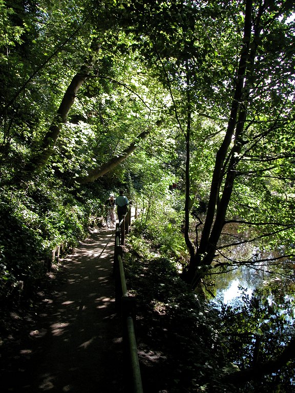
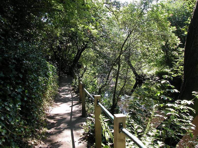
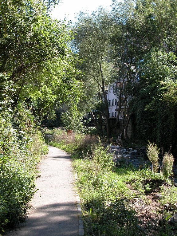
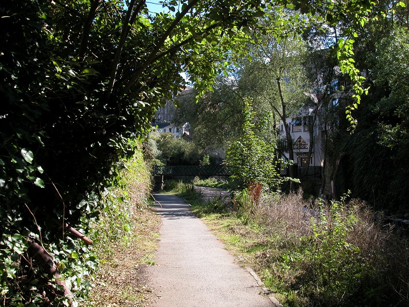
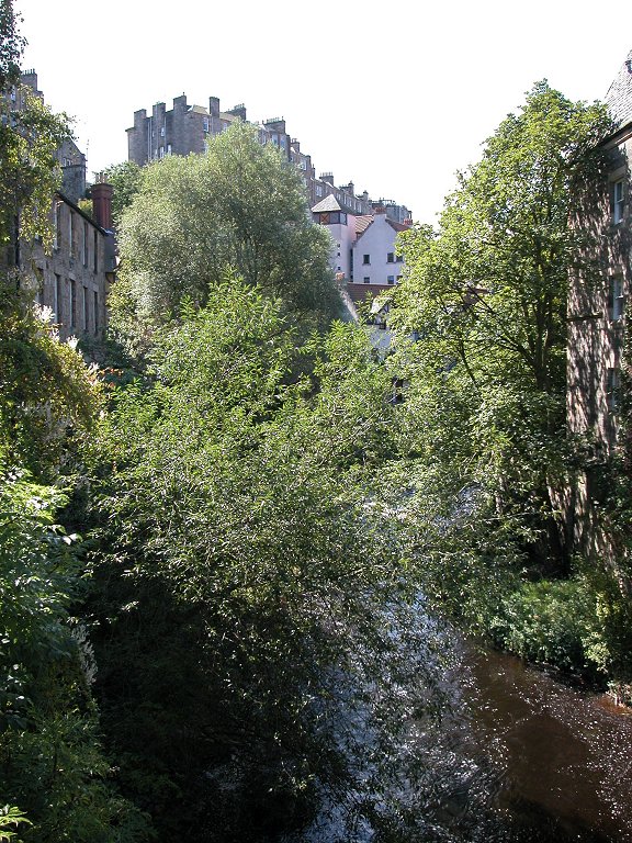
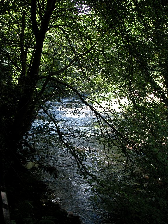
The Water of Leith now
winds its way along a sinewy course between Wester Coates (to the
south) and Ravelston Dykes (to the north), running through a dense
ribbon of greenery that is up to 200 metres wide at some points. It
simply isn't possible to see any of the city and from here it might as
well not exist.
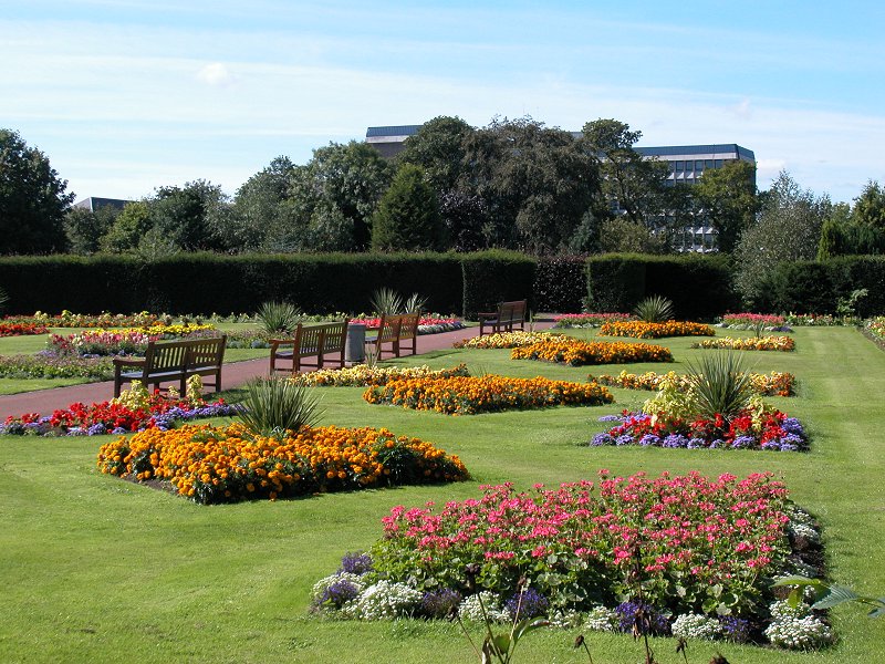
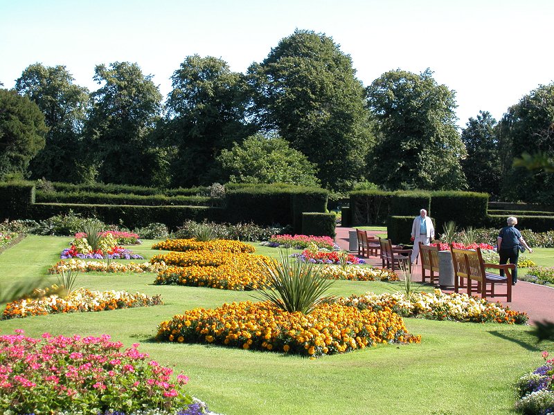
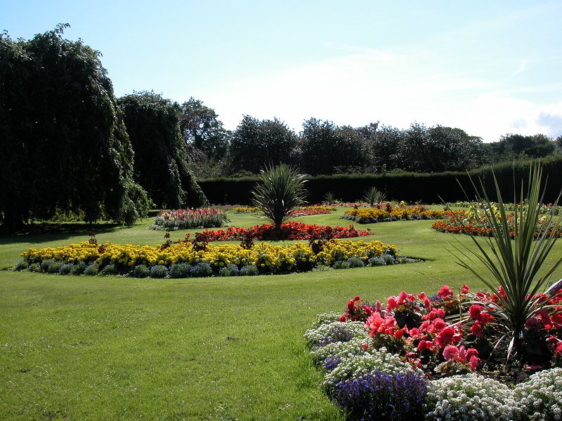
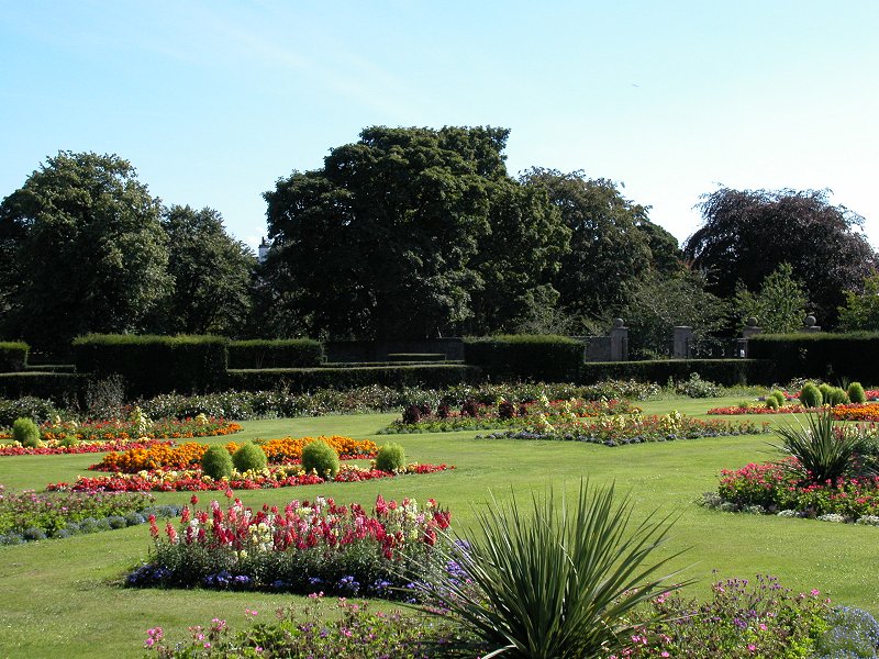
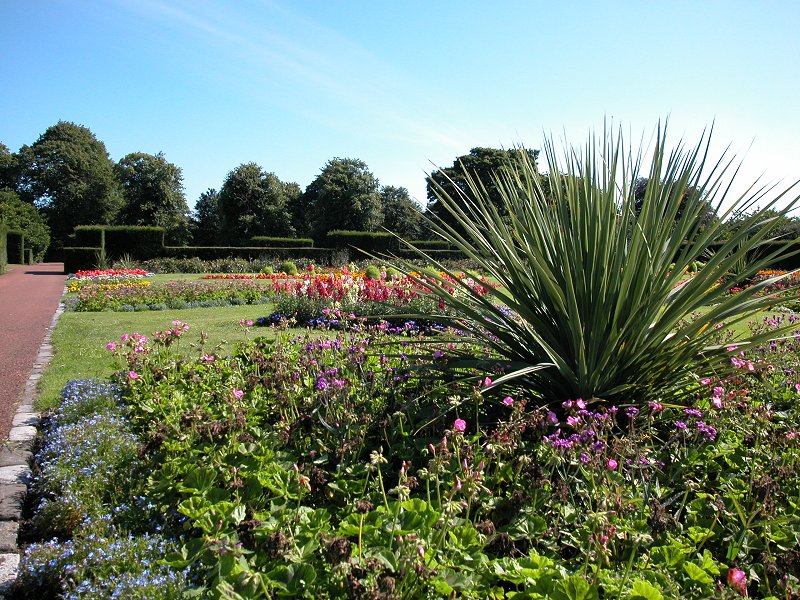
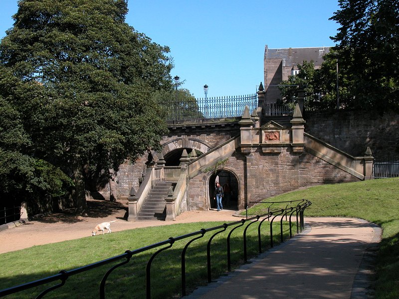
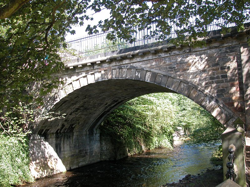
At a significant
bend the river passes the gorunds of the Scottish National Gallery of
Modern Art and displays one of its most scenic stretches, where it runs
over a weir and briefly divides into two courses running either side of
an island. A side path gives access to the grounds of the gallery.

The river now
runs through a long curve to the left and becomes hemmed in by wooden
fencing as it aproaches Belford Bridge. A footbridge gives access to
some rather smart riverside apartments and just short of the bridge
itself a hotel stands beside the river.


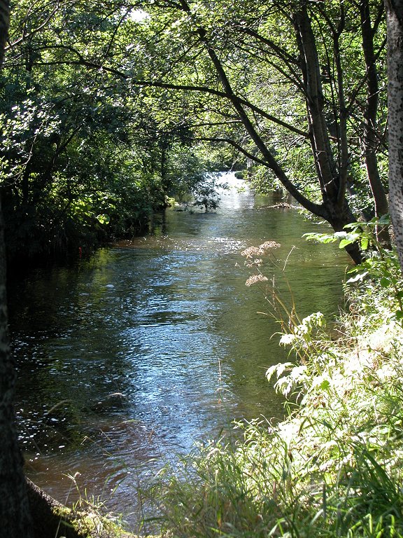
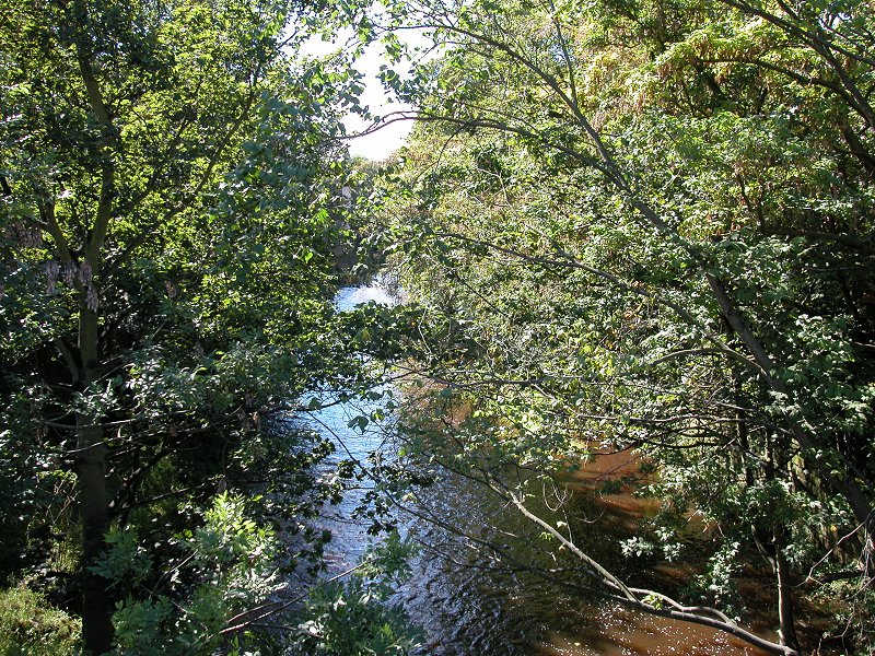
Beyond Belford
Bridge the scenery changes once again to a ribbon of dense tree cover.
Dean Cemetery lays to the north and the cramped residential streets of
Sunbury Place and Sunbury Mews stand immediately to the south but you
just wouldn't know it. The river curves tightly round to the right. It
seems to go on much further than the map suggests it should.
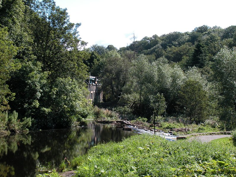
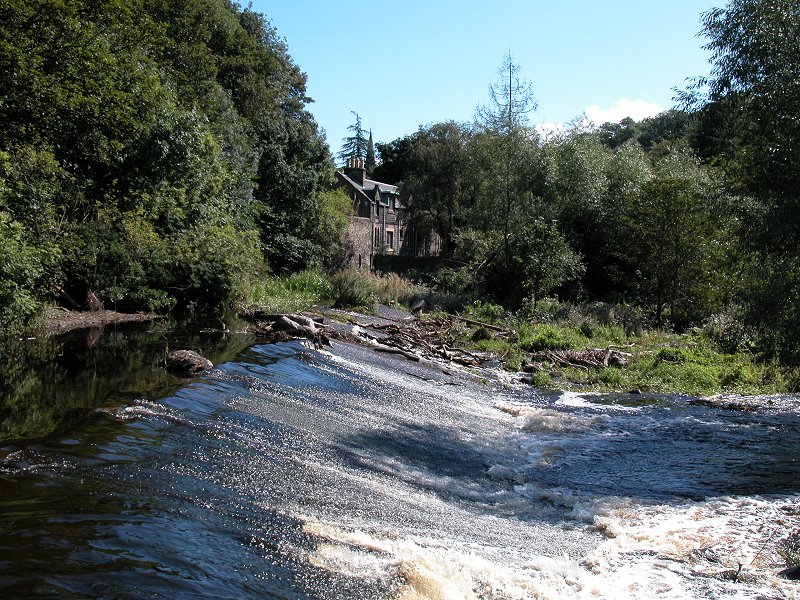
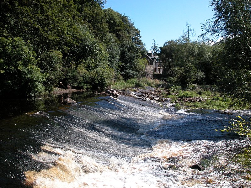
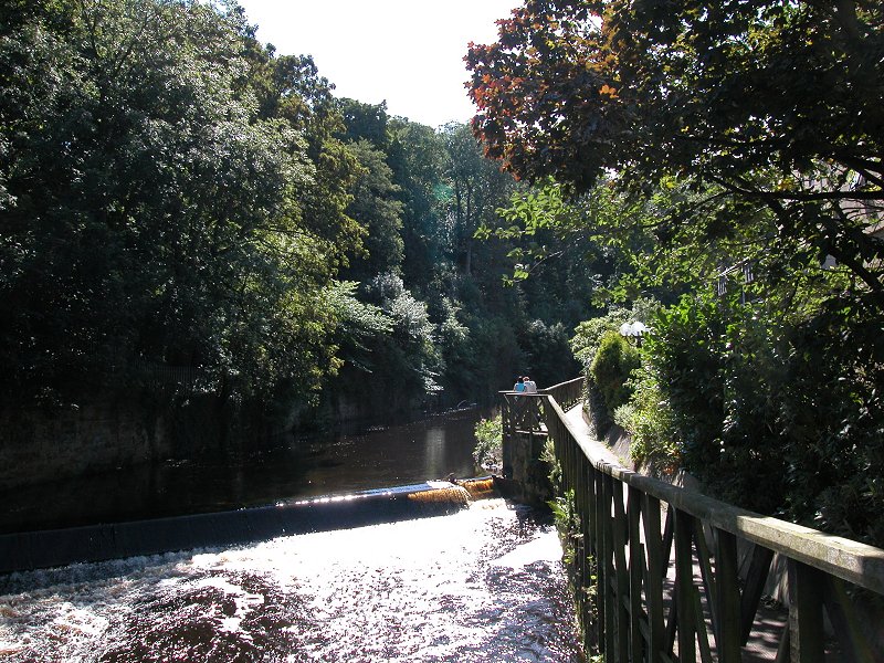
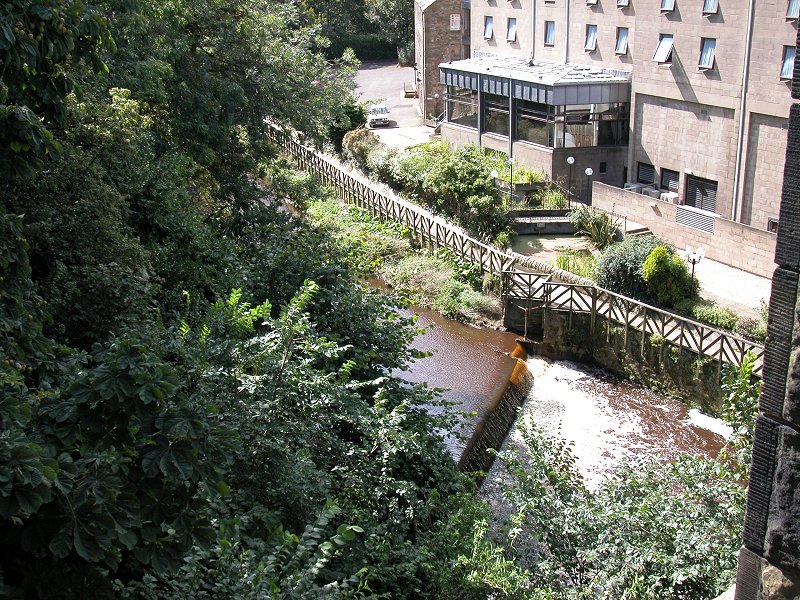
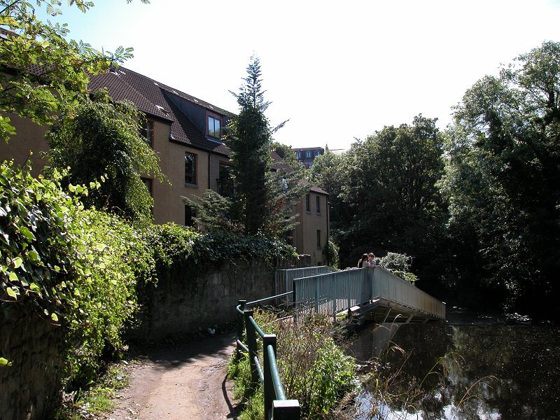
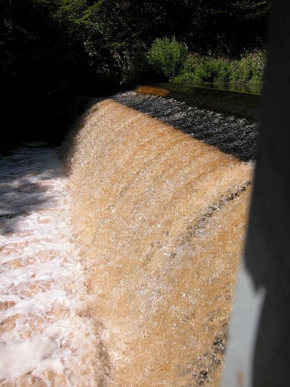
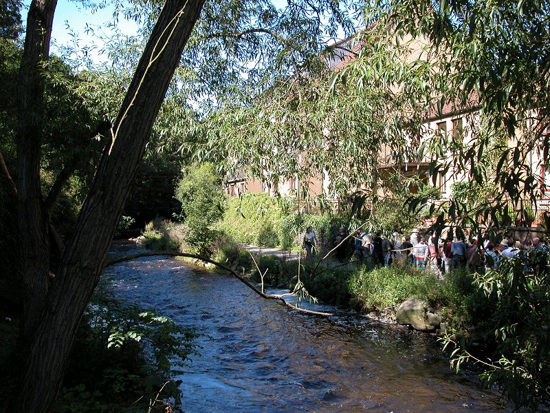
At the locality
of Damside the riverside walkway emerges from its tunnel of woodland to
arrive at another development of smart waterside apartments, and
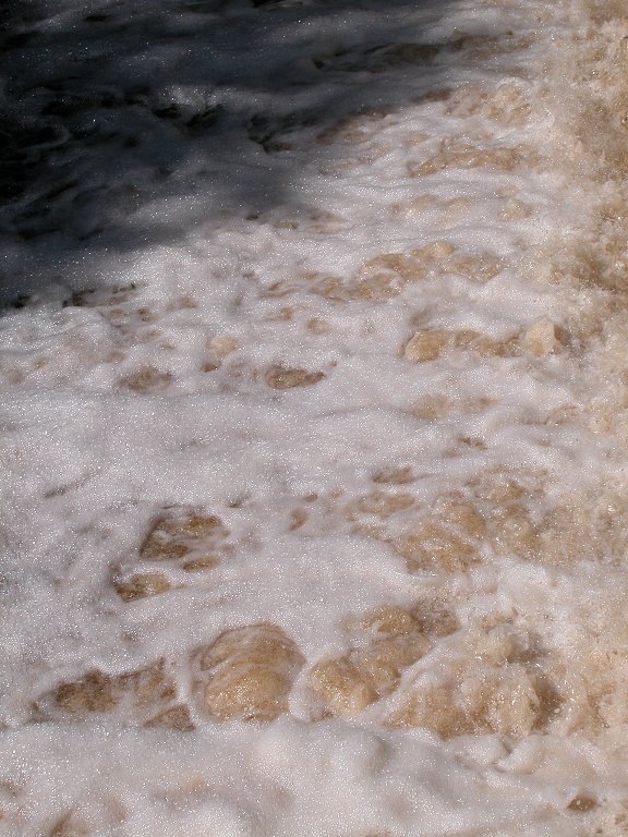
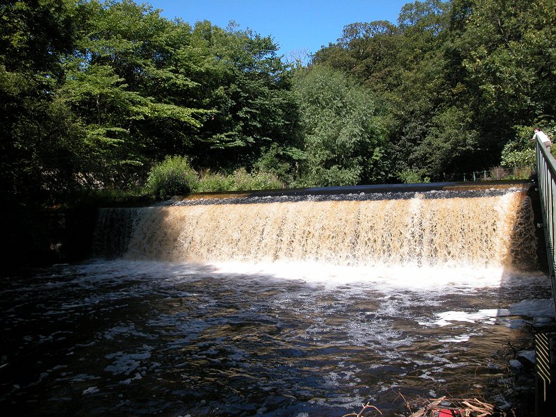
immediately beyond them is a substantial wier. The noise is deafening
but it's a wonderful sight.
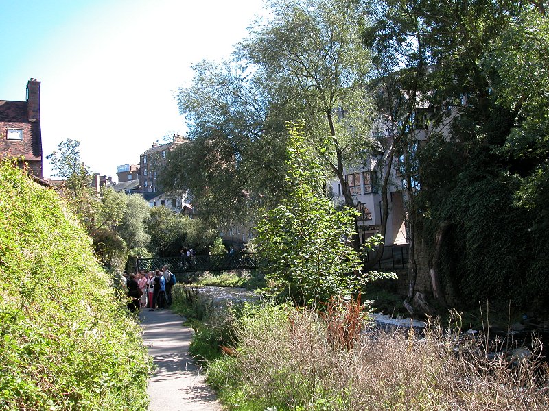
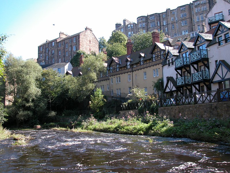
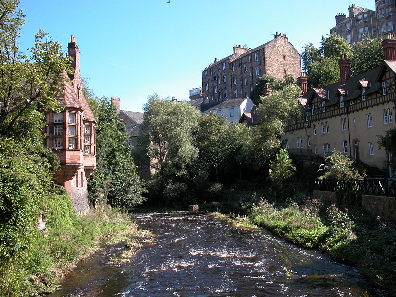
A couple of
hundred metres beyond the weir the riverside path reaches the gem of
the Water of Leith - Dean Village, an old-world locality of steep and
narrow lanes fronted by half-timbered houses. It's probably looked
exactly the same, apart from the riverside railings, for three hundred
years.
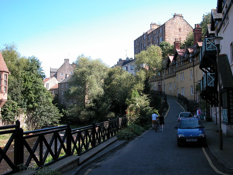
The lane along
the south side of the river is called Miller Row. It climbs quite a way
up the bank but is still way below the level of Dean Bridge, which
carries the main Queensferry Road across the river.
Past Dean Bridge
the river bends initially to the left then runs through a relatively
straight course through a remarkably deep dell. High up to the right is
the edge of the Georgian "New Town", and the backs of the houses
fronting Great Stuart Street, Ainslie Place and Moray Place. A couple
of steep, narrow lanes appear briefly to the right before the rver
approaches the locality of Stockbridge.
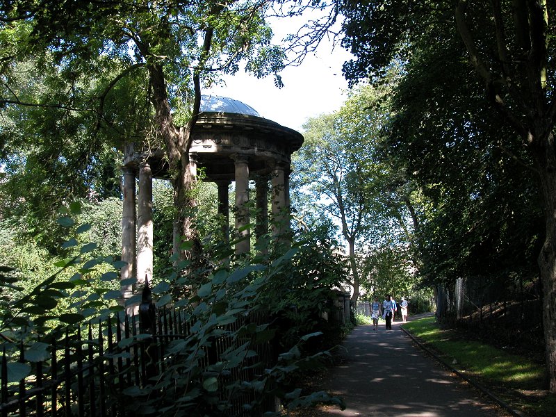
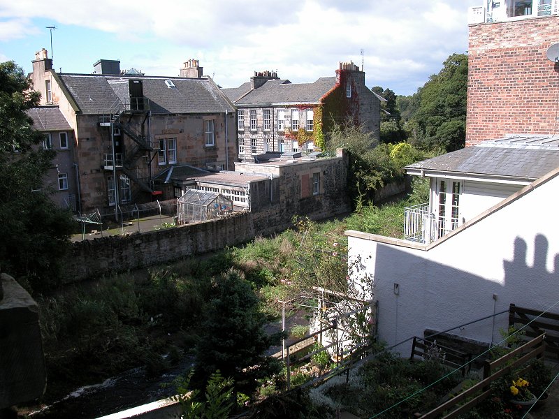
Stockbridge is a
part of the city know for its antique shops and its laid-back attitude,
but nevertheless it's the only part of the city that has seen fit to
develop its riverside into a formal promenade. You reach a small garden
and a handsome stone bridge, after which the river is briefly
sandwiched between the buildings of Saunders Street and Dean
Terrace.
The picturesque
stretches of the Water of Leith are largely behind us now. It's
necessary to leave the riverside briefly to walk along Deanhaugh St and
St Bernard's Row before regaining the riverside as it runs to the right
of Arborteum Avenue, but this is a pleasant enough stretch with grassy
banks to one side and Grange cricket ground (what, they play cricket in
Scotland?) to the other. Finally, at a sharp right-hand bend, the river
disappears off to run along the back of Inverleith Row to approach
Canonmills, after which it enters the less interesting areas of
Broughton and Pilrig. I've yet to explore the river beyond this point
but one day I'll get round to it. North of Inverlieth Row are
Edinburrgh's splendid Royal Botanical Gardens, which might get their
own page here before too long.