|
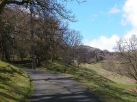
Silver How lays directly above Grasmere to the south west, the end of a
limb of high fell country extending southeastwards over Blea Rigg from
Sergeant Man (and ultimately High Raise). The ascent has a bit of
everything and Silver How is an ideal first climb for the budding Lakeland
explorer. It starts, here, on a tarmac drive through parkland just west of the village
|
|
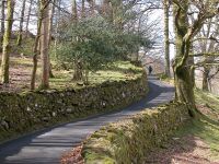
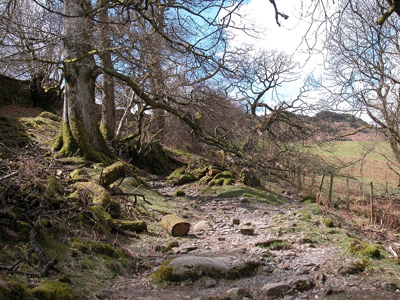
The road become enclosed within drystone walls.
|

|
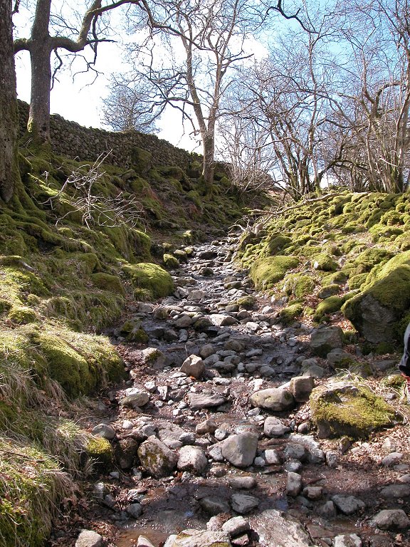
Once past the farm buildings the track becomes stony...
|
|
....and quite steep.
|

|
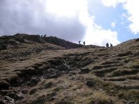
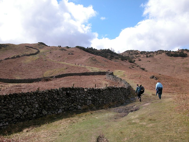
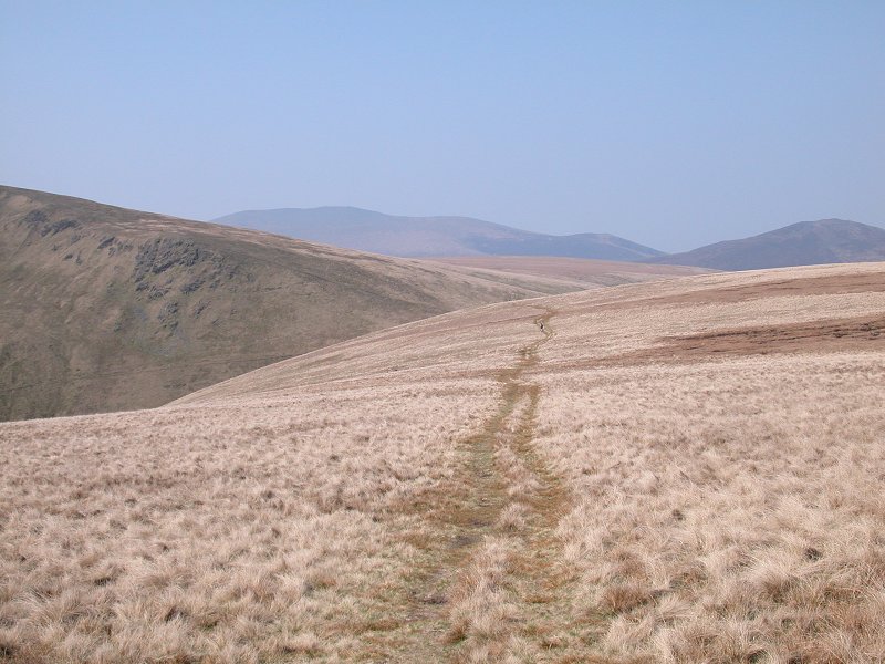
The top of this track comes out at a junction of walls and gates, and from here on there's a grassy track up to the ridge.
|
|
The path is still quite steep here. It accompanies another drystone wall.
|
|
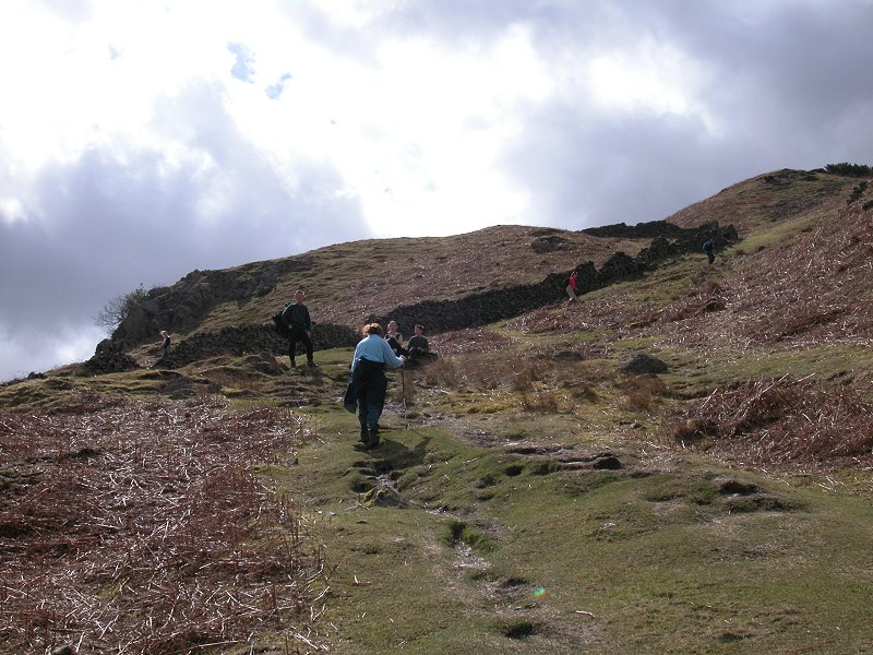
The
path arrives at an area in which juniper and gorse grow in profusion.
The vegetation provides some shelter if the day is windy, and this area
therefore makes a good refreshment stop.
|
|
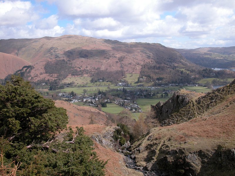
The views are starting to become interesting. There's part of Grasmere below, backed by Heron Pike and Nab Scar.
|

|
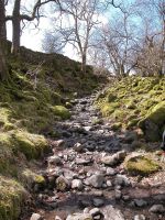
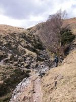
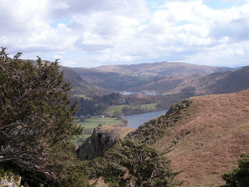
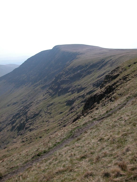
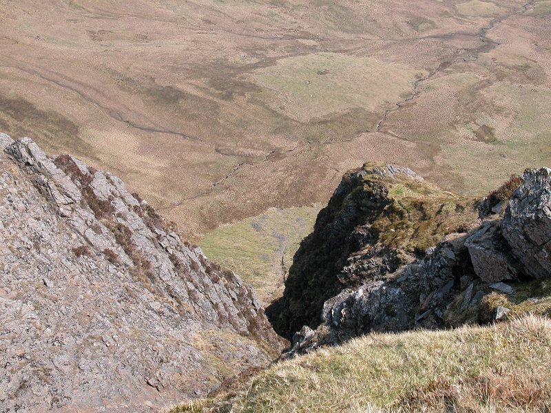
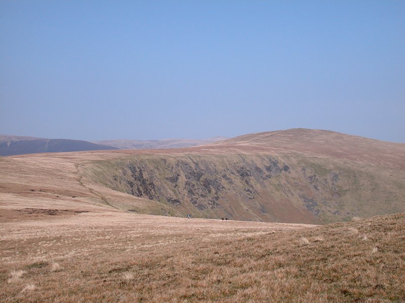
The path approaches a picturesque mini-ravine. Looking southwestwards Grasmere lake is backed by Loughrigg.
|
|
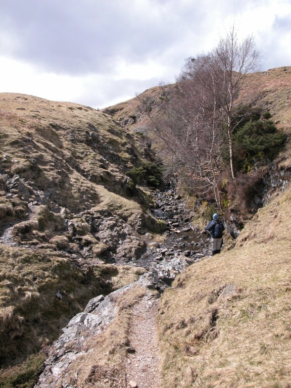
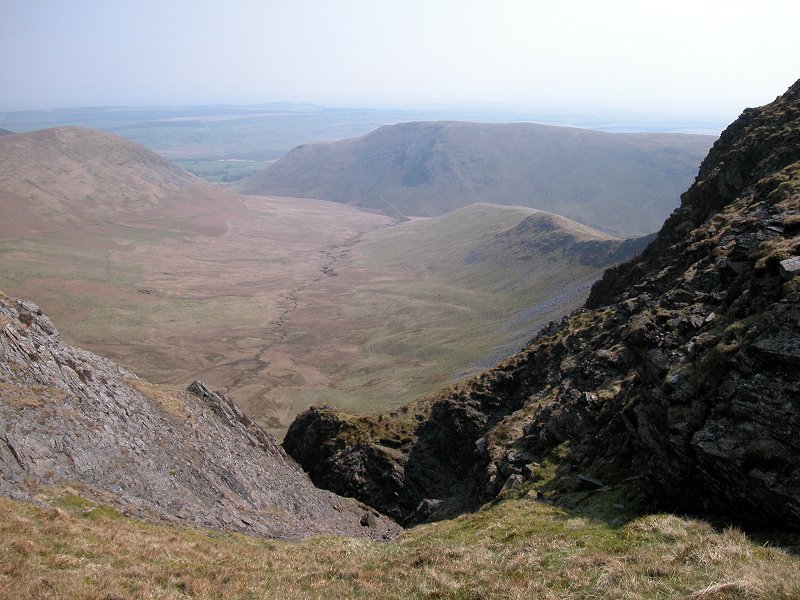
The path dips into and crosses the ravine, an interesting couple of minutes.
|
|
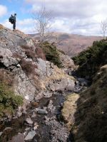
It's countless little treasures like this that make Lakeland such a marvellous place to visit and explore.
|

|
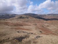
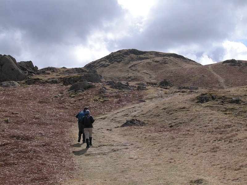
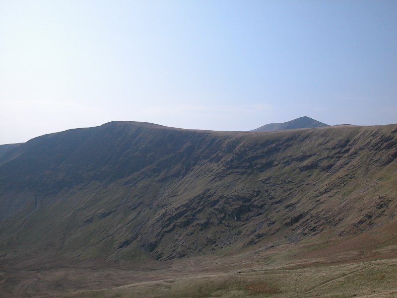
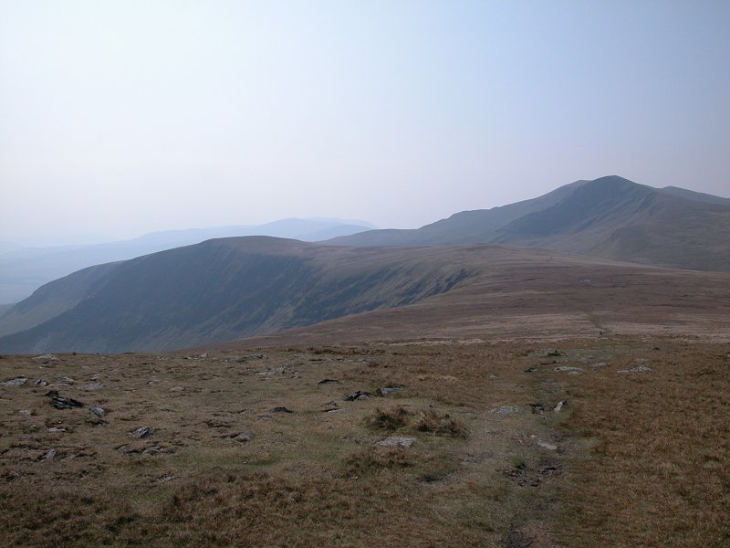
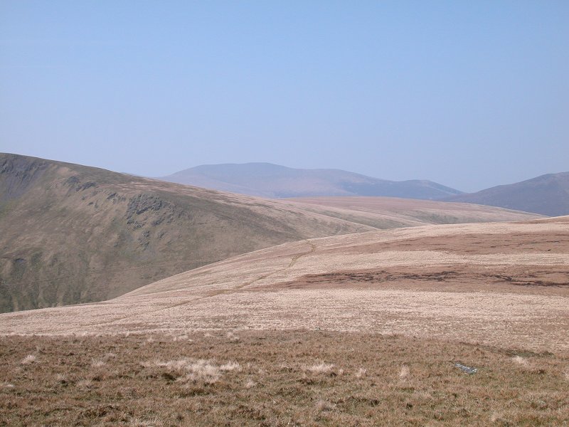
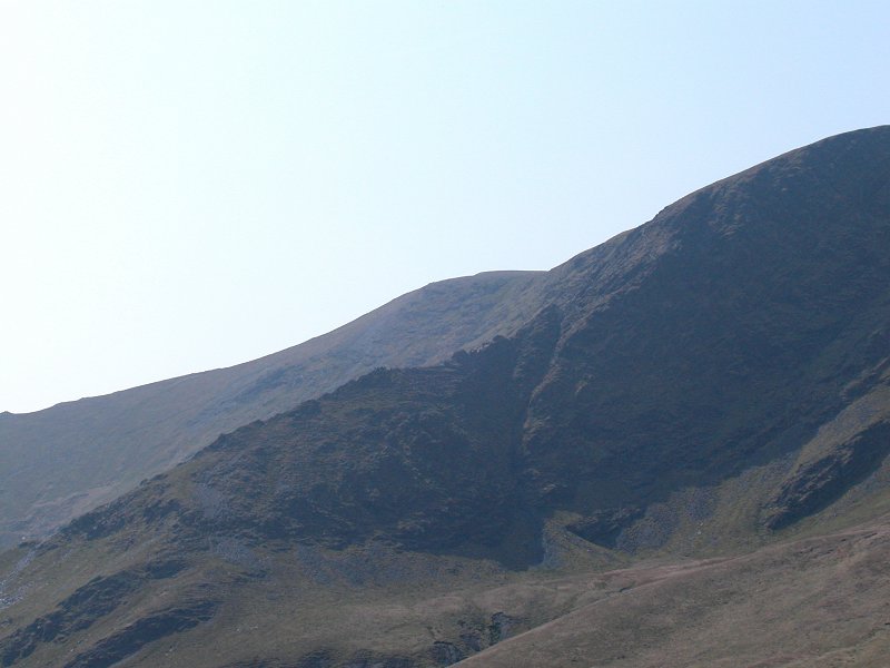
Across the ravine and the terrain is now rather more drab. This scenery is typical of glacial moraine country
|
|
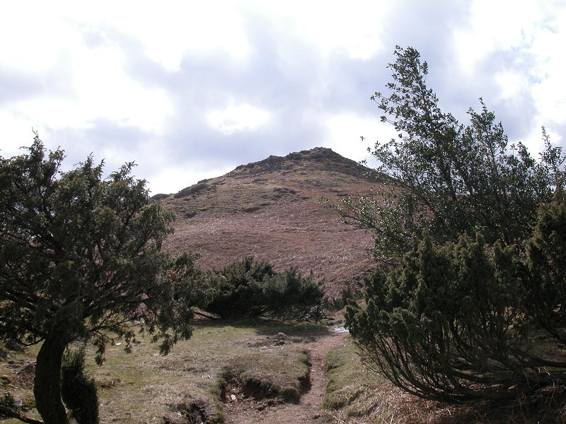
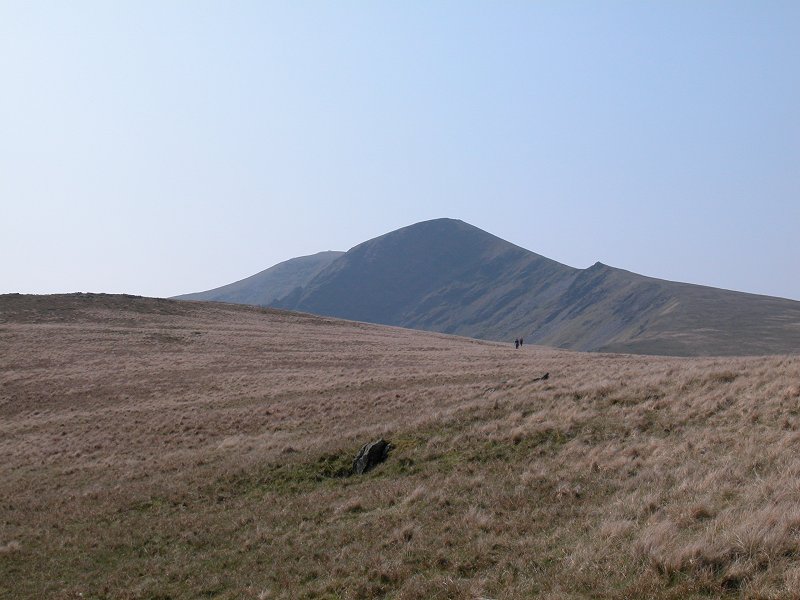
A track leads up the rough grass slopes to the top of Silver How, now only a few minutes away.
|
|
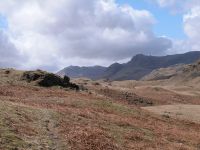
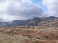
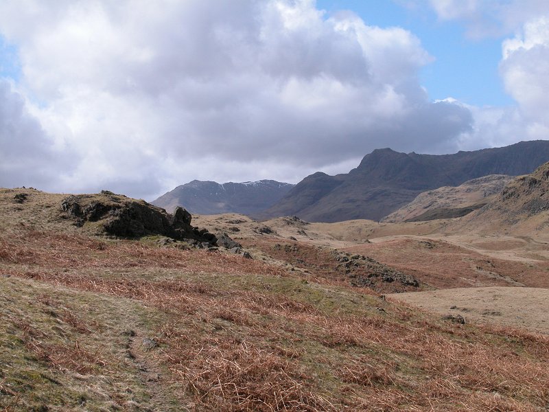
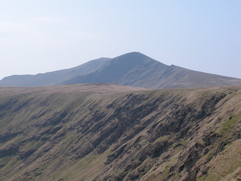
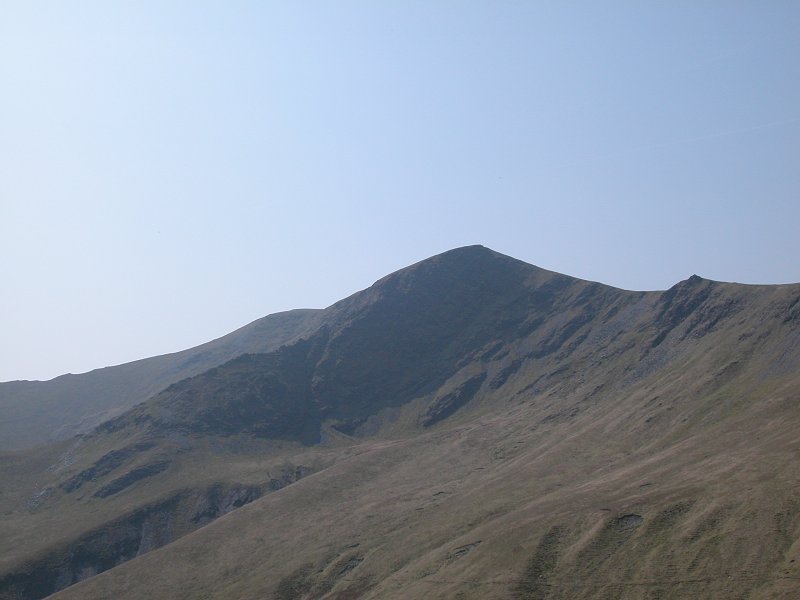
The
scene to the west. Bowfell (centre) still carries some snow; the
Langdale Pikes (Pike O' Stickle and Harrison Stickle) stand to the
right.
|
|
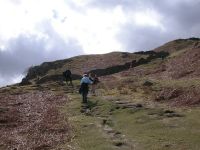
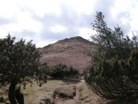
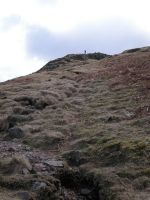
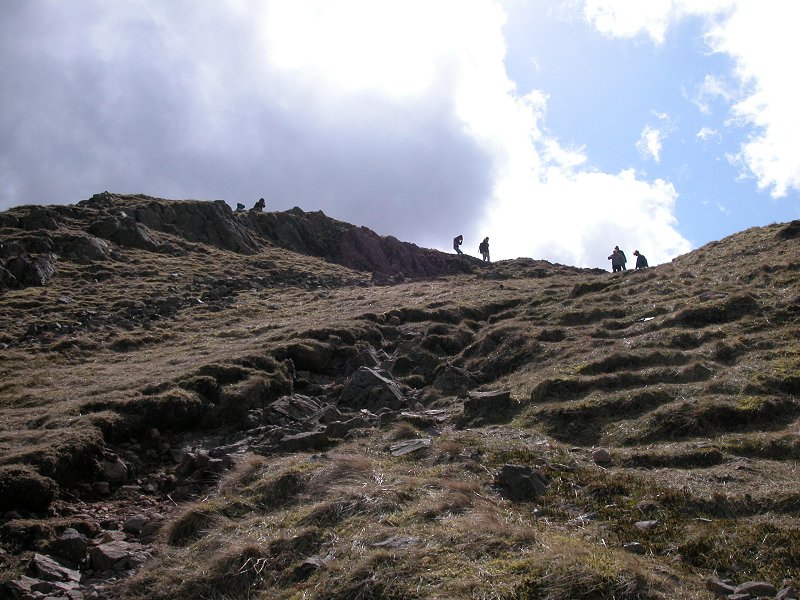
Approaching the ridge.
|
|
Grasmere from the path.
|
|
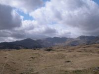
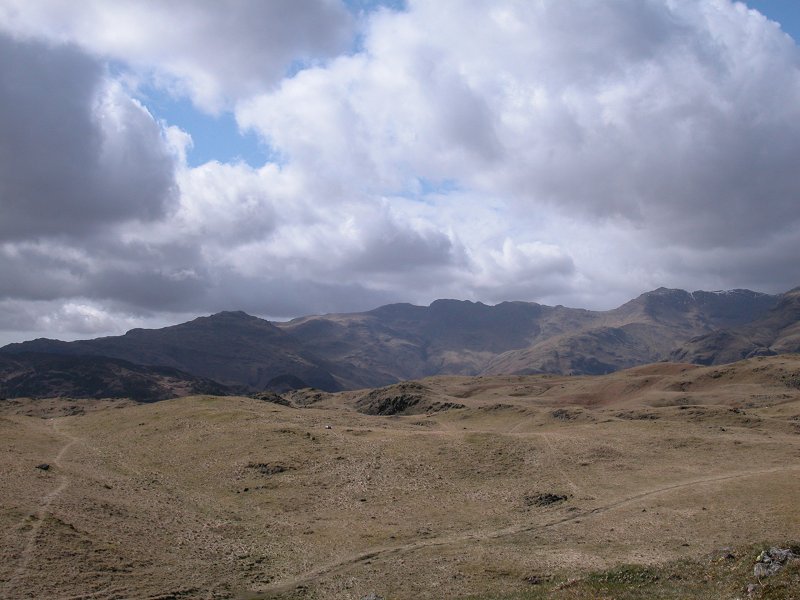
A dramatic skyline; Bowfell, the Pikes and Pavey Ark.
|
|
Panning around to the southwest we see Pike O' Blisco, Crinkle Crags and Bowfell.
|
|
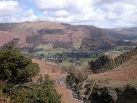
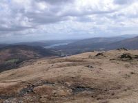
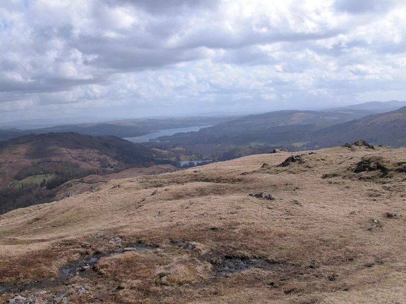
Looking southeastwards, and a glimpse of Windermere over the shoulder of Loughrigg.
|
|
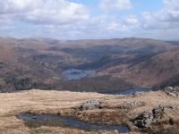
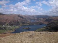
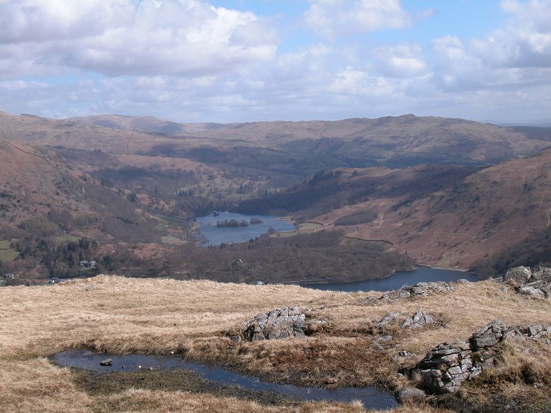
One of Lakeland's loveliest spots; the twin lakes of Grasmere (mearest) and Rydal Water.
|
|
A similar view, with more of Grasmere water in view...
|
|
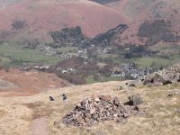
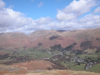
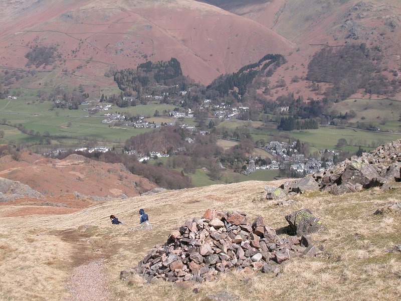
Grasmere
village, backed by Stone Arthur, Grea Rigg and Fairfield. The path up
to Grizedale Tarn leds into the hills towards the left of shot..
|
|
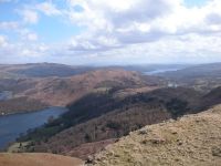
Loughrigg, sandwiched bwtween Rydal Water (left) and Windermere (right).
|
|
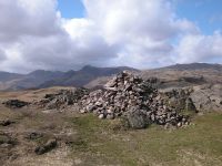
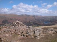
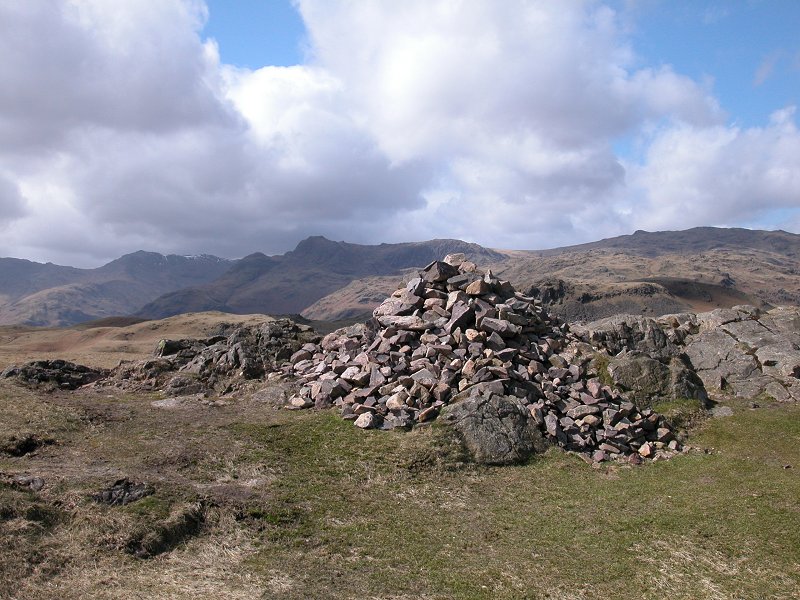
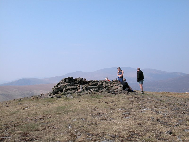
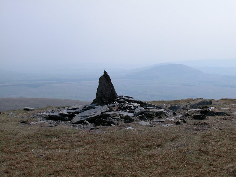
Silver How's summit cairn, backed by the Langdale Pikes (left) and Sergeant Man (right). Silver How is 1296 ft above sea level.
|

|
The classic view of Grasmere from the summit.
|
|
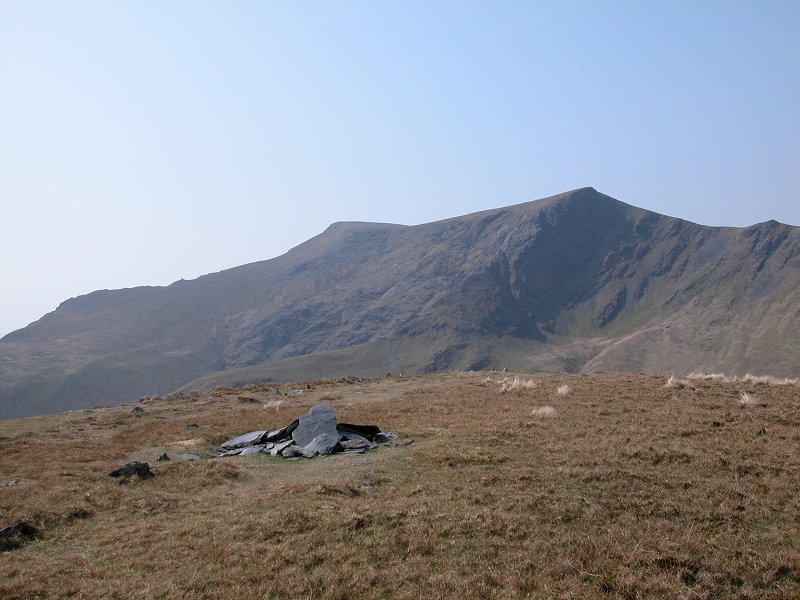
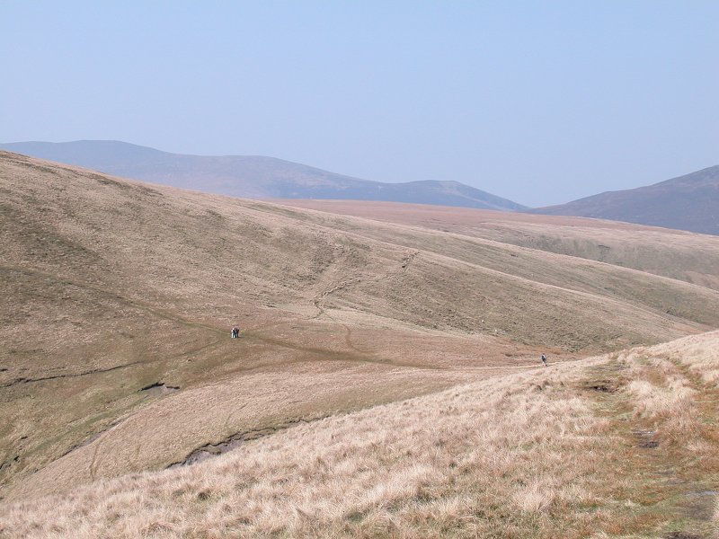
The ridge leading to Blea Rigg and Sergeant Man. A fine walk in good weather, but today was too windy and cold to attempt it.
|
|
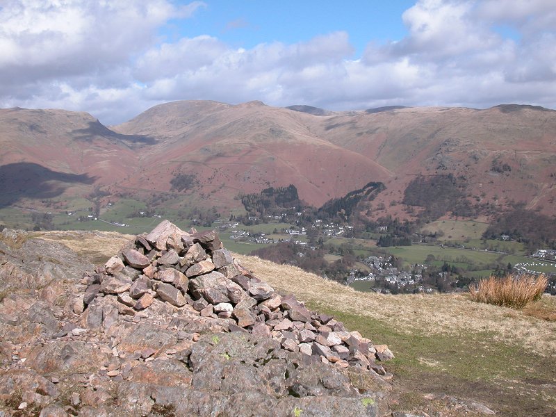
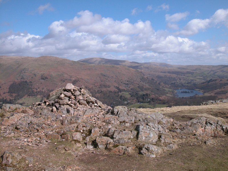
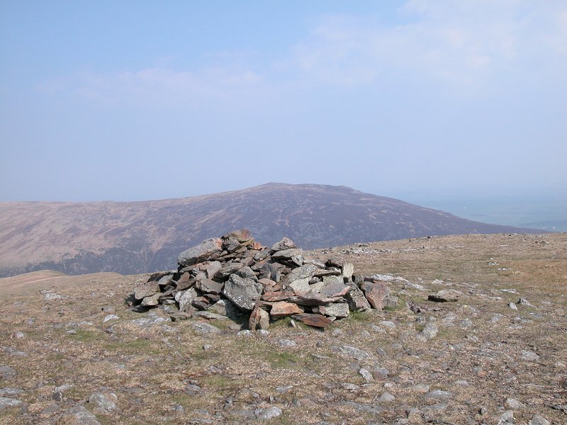
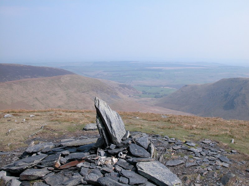
A
final shot of the summit cairn, with Rydal Water seen to the right. I
wasted no time in getting back down into shelter, and had a bite of
lunch among the junipers and gorse halfway back to the village.
|
|
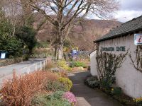
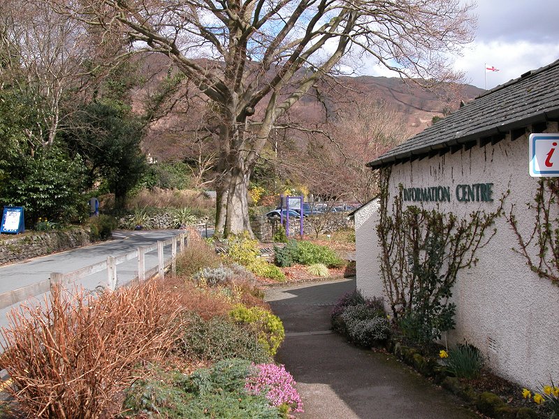
Back
at Grasmere. The sunshine was very fitful otherwise I'd have taken
rather more pictures. Grasmere is one of England's loveliest villages.
|


