|
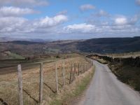
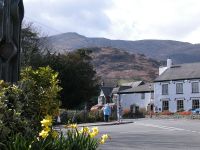
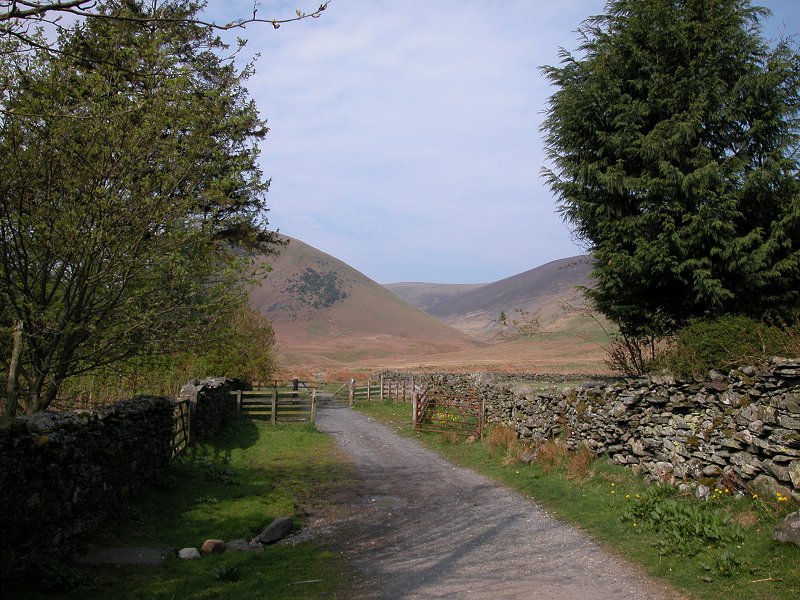
The
first quarter mile of the walk is the worst, a steep road out of
Coniston to the south west. Once the gradient eases the walk is
pleasant and uneventful. You reach a car park after which the road
reverts to an unsurfaced track, the beginning of Walna Scar pass over
into Dunnerdale.
|
|
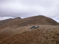
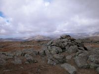
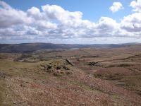
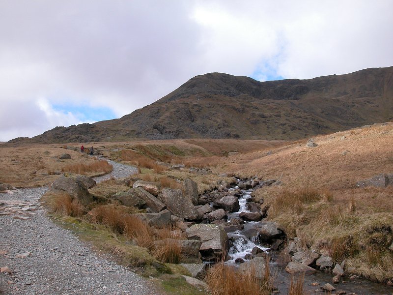
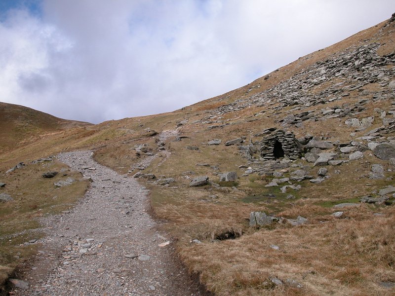
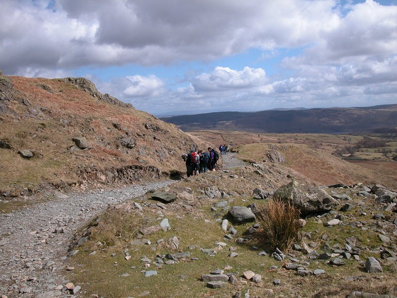
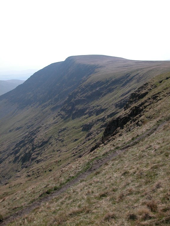
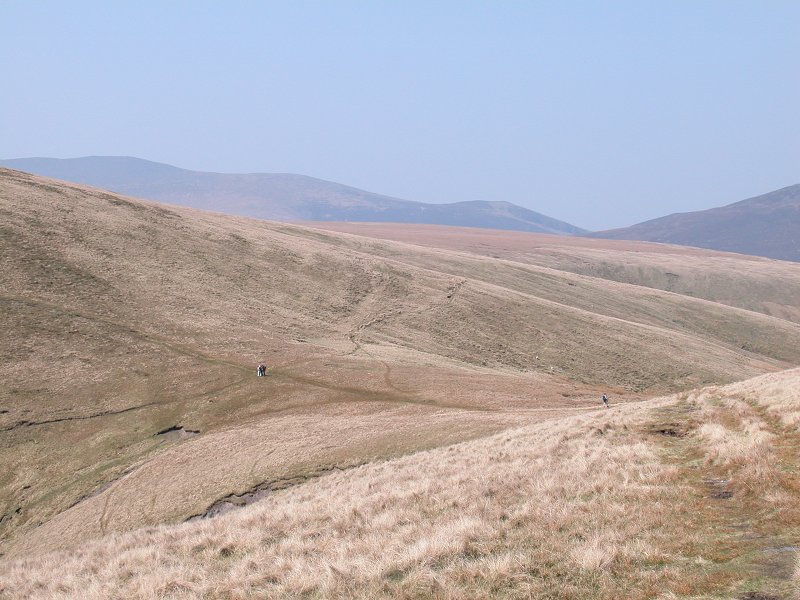
Most
walkers on the path were heading for the Old Man of Coniston directly
to the west. There are several routes to the fell from Walna Scar pass.
One of them diverges here at this un-named gully. Here we're looking
southeast down the gully towards Coniston Water.
|
|
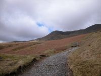
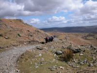
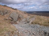
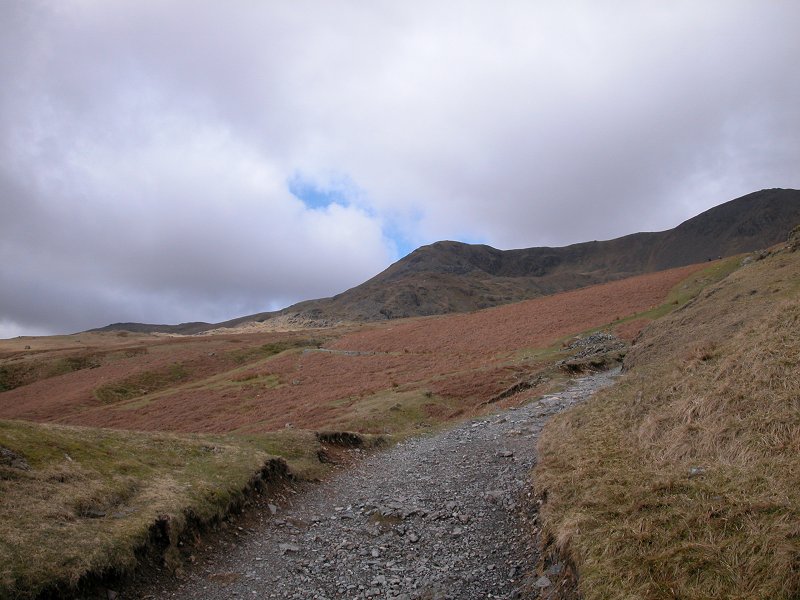
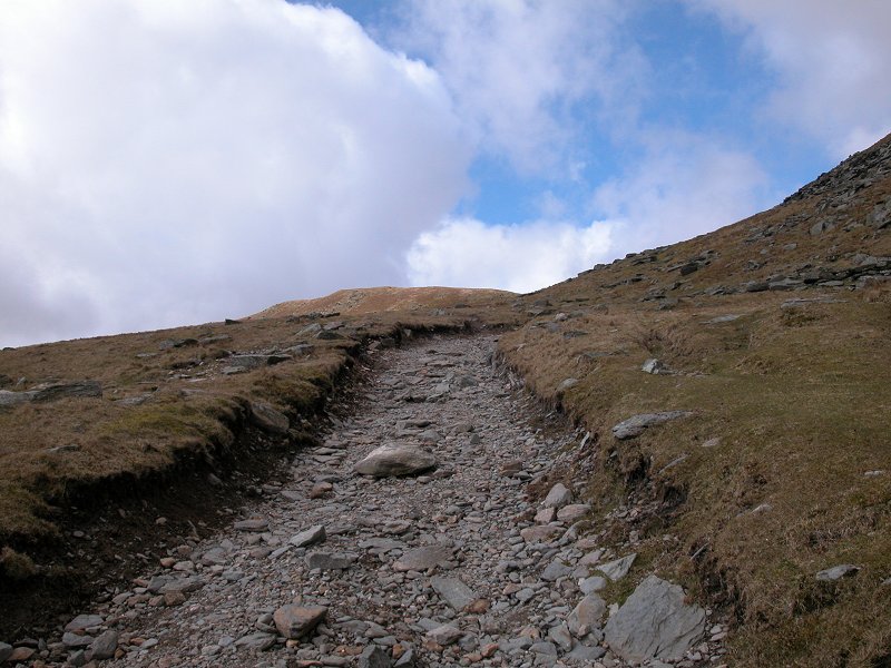
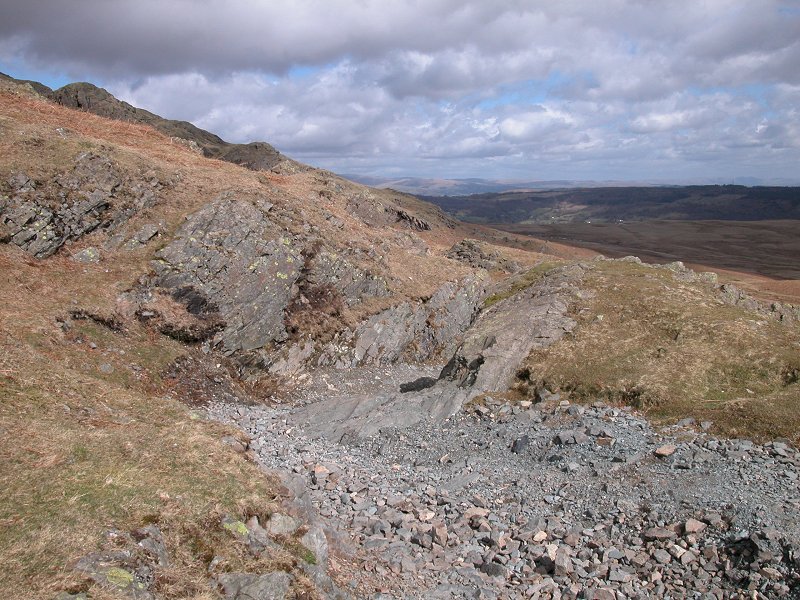
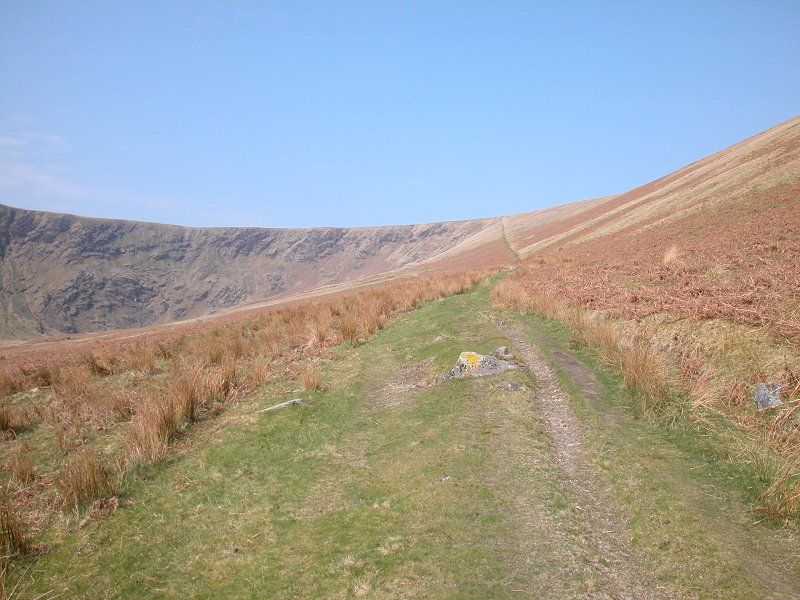
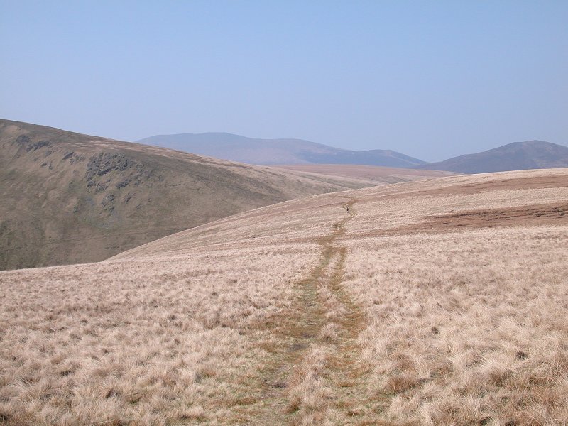
Walna
Scar Pass is remarkably gently graded for the most part and is also in
good repair. It makes you wish more mountain paths were like this.
|
|
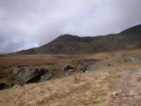
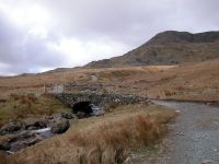
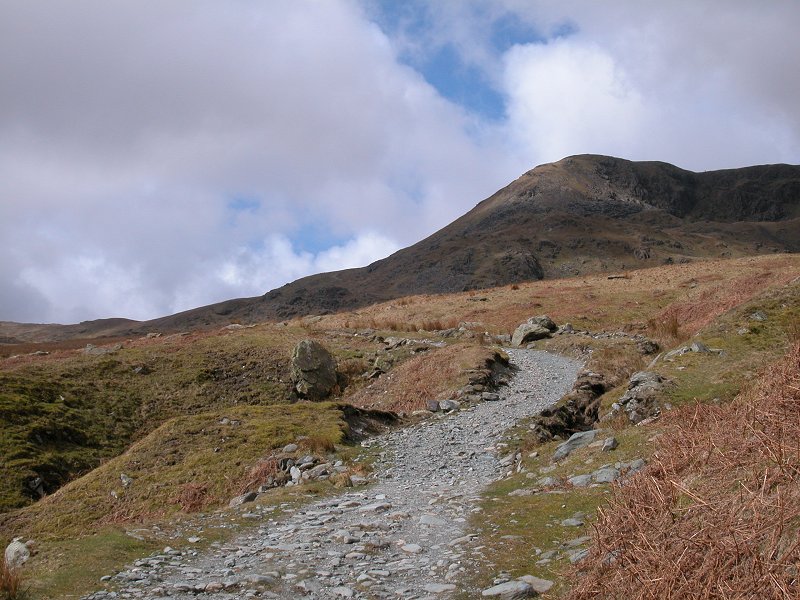
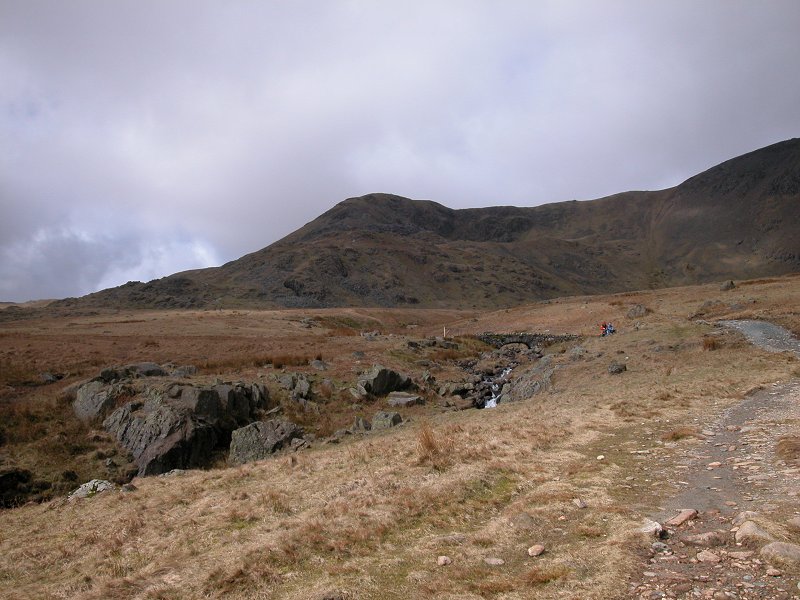
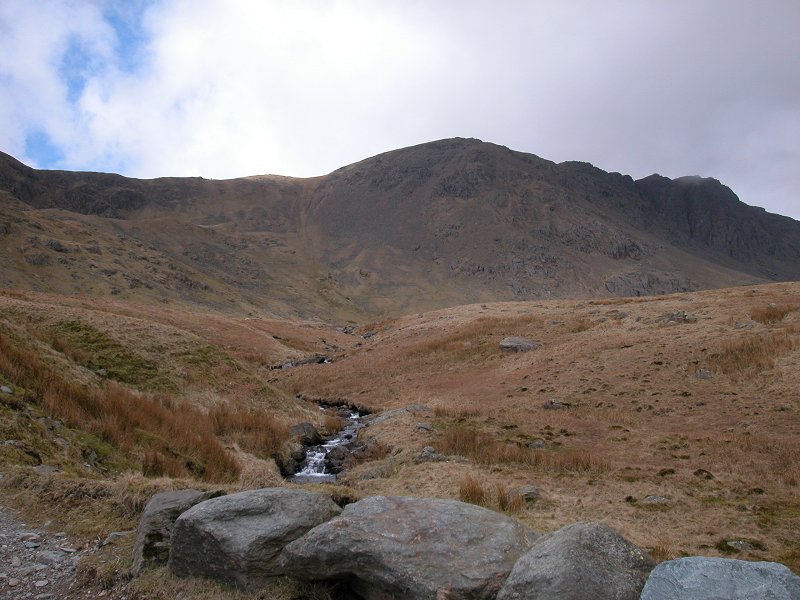
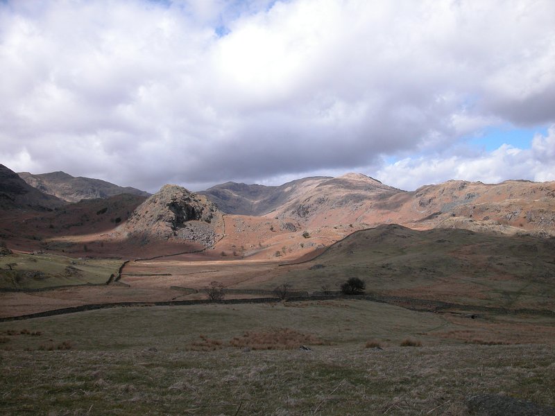
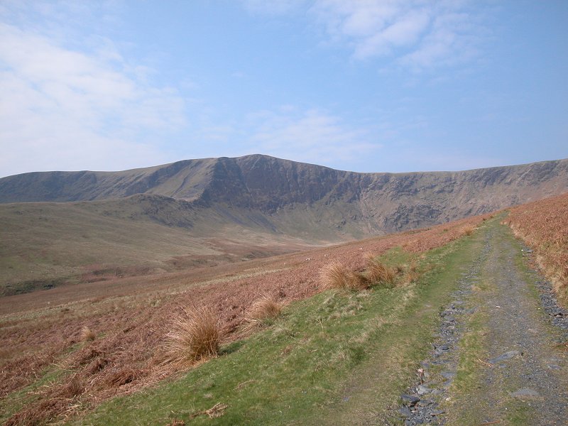
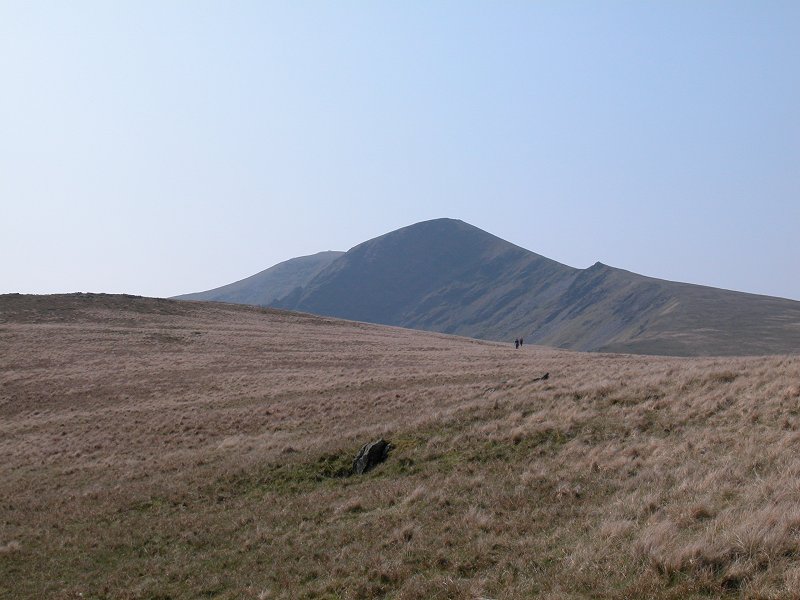
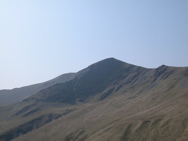
Here
the path is approaching the stone bridge over Torver Beck. Brown Pike,
actually a minor top of Dow Crag, looks very daunting from here.
|
|
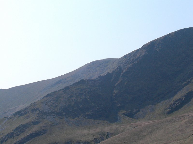
Walna Scar Pass crosses the col between Brown Pike and Walna Scar itself but the latter summit is not in view at this point.
|
|
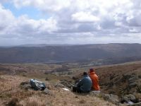
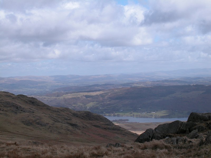
These two walkers are enjoying the view across Coniston Water.
|
|
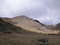
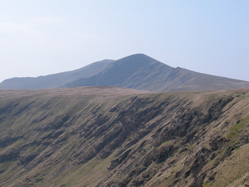
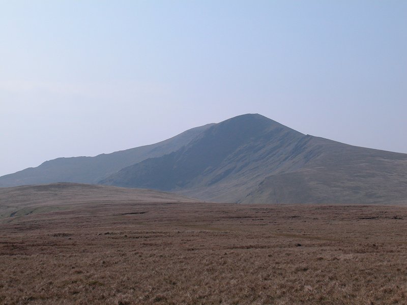
That's
the Old Man of Coniston, the highest summit in this group of fells. The
tarn of Goats Water lays in the hanging valley to the left.
|
|
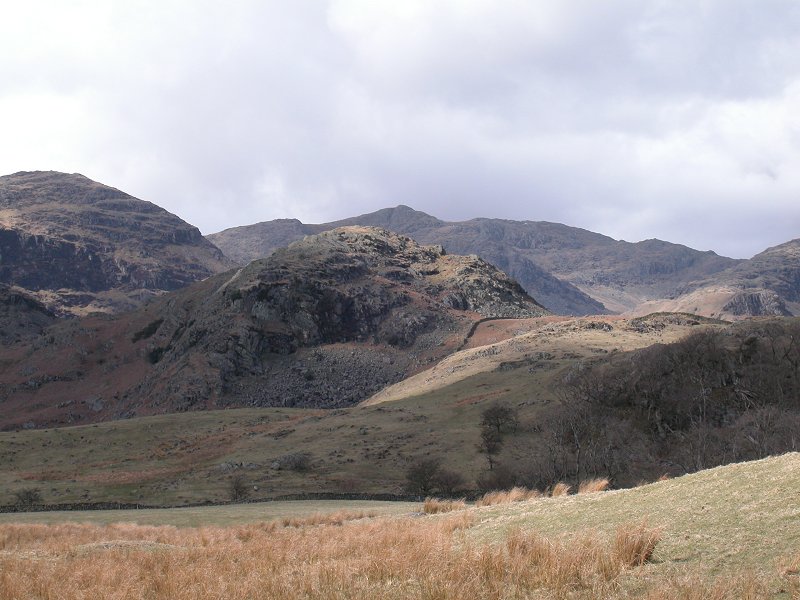
The scene just beyond the bridge.
|

|
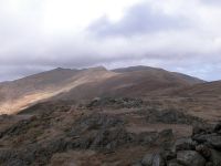
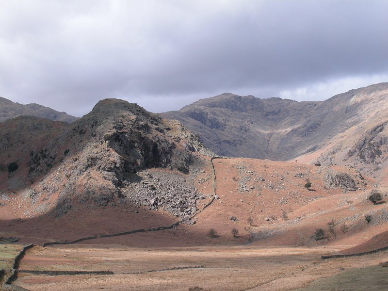
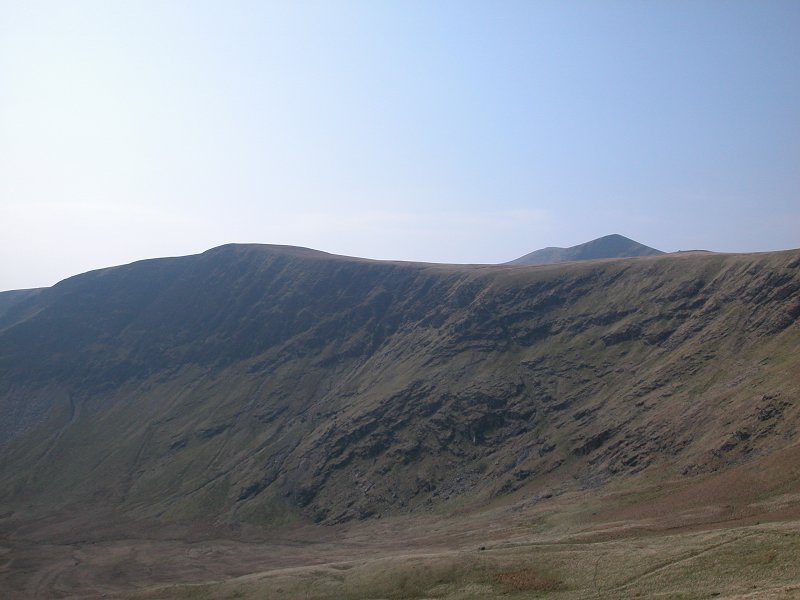
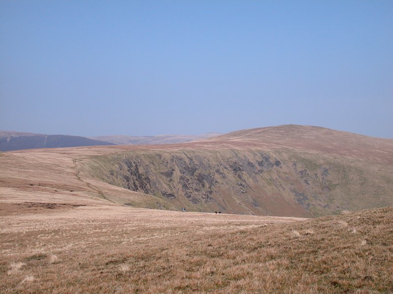
Here we're looking at Buck Pike and Dow Crag, further north along the ridge from Brown Pike. A wisp of cloud brushes Dow Crag.
|
|
As I progress alongthe path Dow Crag becomes hidden by its lower neighbour.
|
|
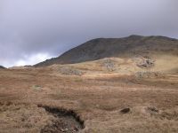
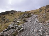
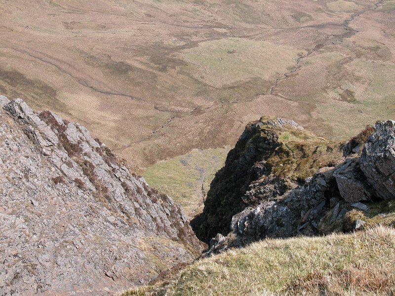
This is where the path gets rather steeper as it tackles the ground adjacent to Goats Foot Crags.
|

|
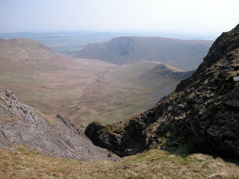
The view over Coniston Water from just above the line of crags.
|

|
A few minutes later, and the restrospective view is starting to look quite idyllic.
|
|
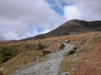
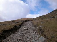
This section of the path is quite hard work but Walna Scar itself is just coming into view.
|

|
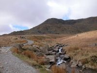
I'm approaching the summit of the pass, the col between Brown Pike and Walna Scar.
|
|
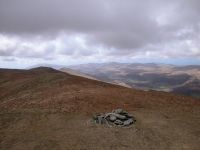
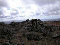
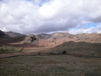
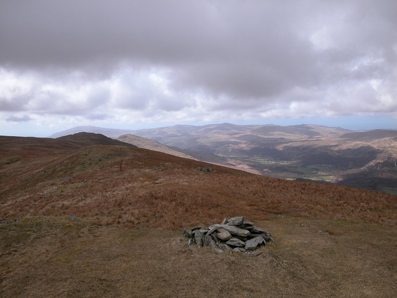
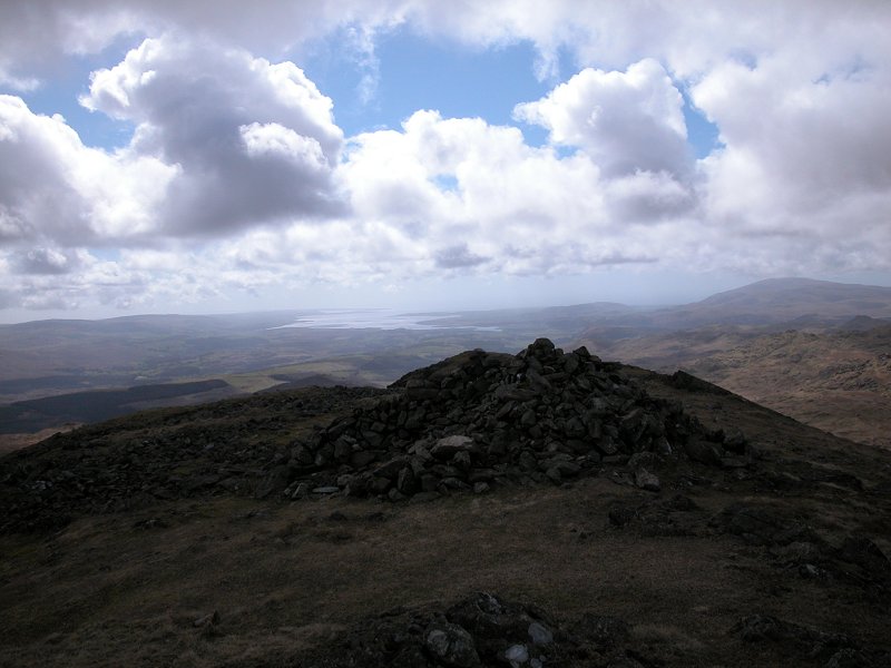
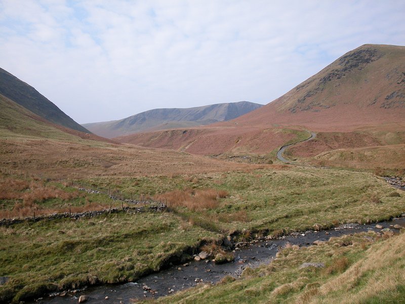
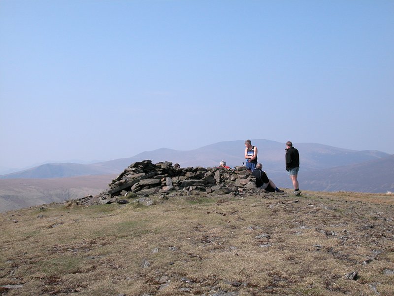
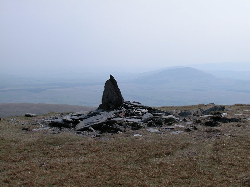
Ten
minutes later and I've made it - the summit of Walna Scar. At 2037 ft
it's the highest fell not mentioned in Wainwright's guides. This is the
view westwards from the summit cairn across Dunnerdale, with the
shapely cone of Harter Fell most prominent.
|
|
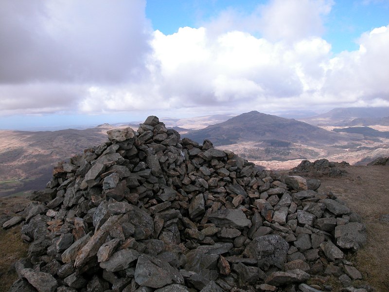
This
picture perhaps explains why Wainwright left Walna Scar alone and is
also a reminder that you can't judge mountains by numbers. Walna Scar
is dull. It's a Nuttall (hill over 2000 ft with 100 ft of reascent) but
has no other features of ineterest. The next two tops along the ridge
(Brown Pike and Buck Pike) dwarf Walna Scar and are far more
interesting places to be, yet have no special status.
|
|
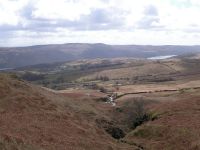
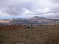
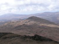
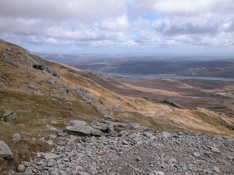
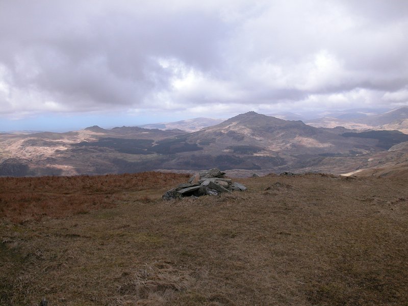
The
view to the southwest, across lower Dunnerdale, featuring many other
outlying fells that Wainwright didn't include in his guides. In the
middle distance on this side of the dale is the pyramid of Caw, while
far away on the skyline are Black Combe, Whitfell and Hesk Fell.
|
|
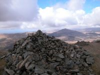
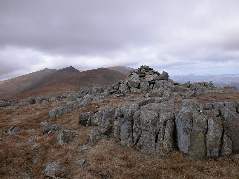
A
short walk away is White Maiden, Walna Scar's south top and another
Nuttall. The wind on the ridge is fierce and it's none too pleasant to
be up here, so I'm not planning to hang about.
|
|
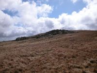
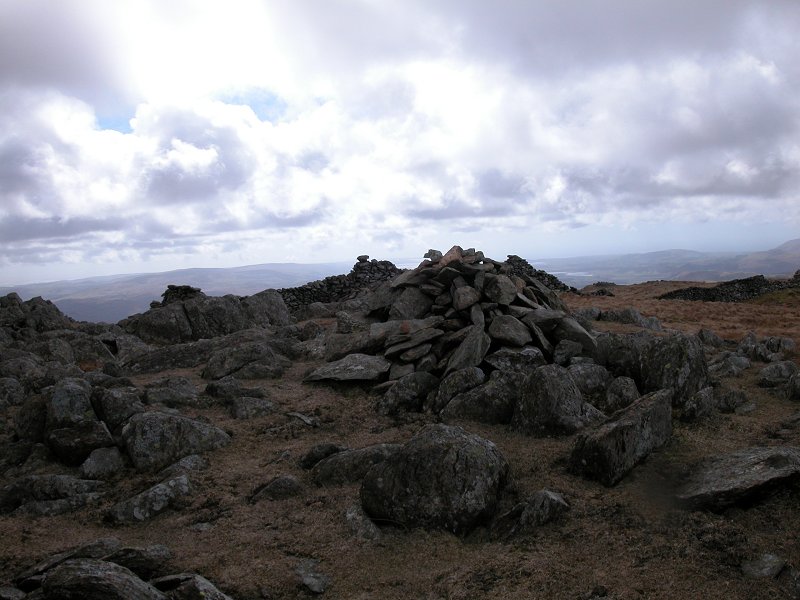
White Maiden proves to be a rather more interesting top than Walna Scar itself, heaturing a delightful outcrop of rocks.
|
|
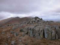
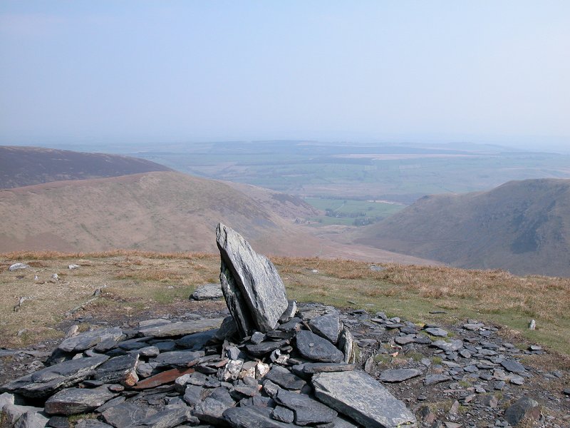
The summit cairn, with Harter Fell in the distance.
|
|
Another feature of White Maiden is the pair of drystone walls that meet here, lovingly constructed and in excellent repair.
|
|
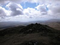
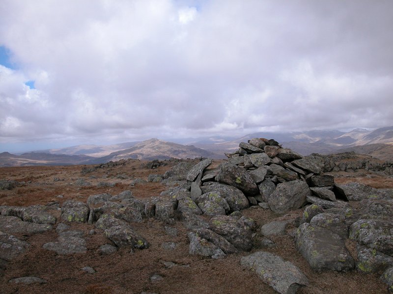
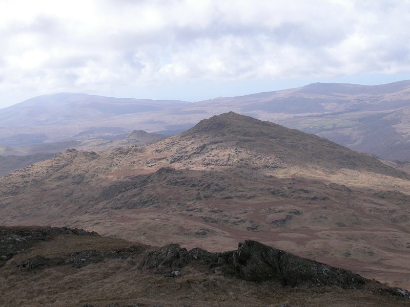
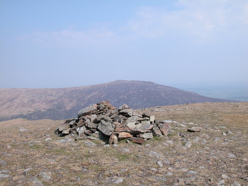
Another
few minutes away is White Pike, Walna Scar's far south top. Once again
it's a rather more interesting place to be than its parent fell. In the
distance is the Duddon estuary, opening out into Morecambe Bay.
|
|
The view to the west, once again featuring Harter Fell.
|
|
Caw dominates the view a couple of miles away. Sadly the country in between is too rough and complex to allow a ridgewalk.
|
|
Zooming in on Caw, with Black Combe and Whitfell forming the skyline beyond.
|
|
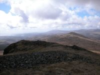
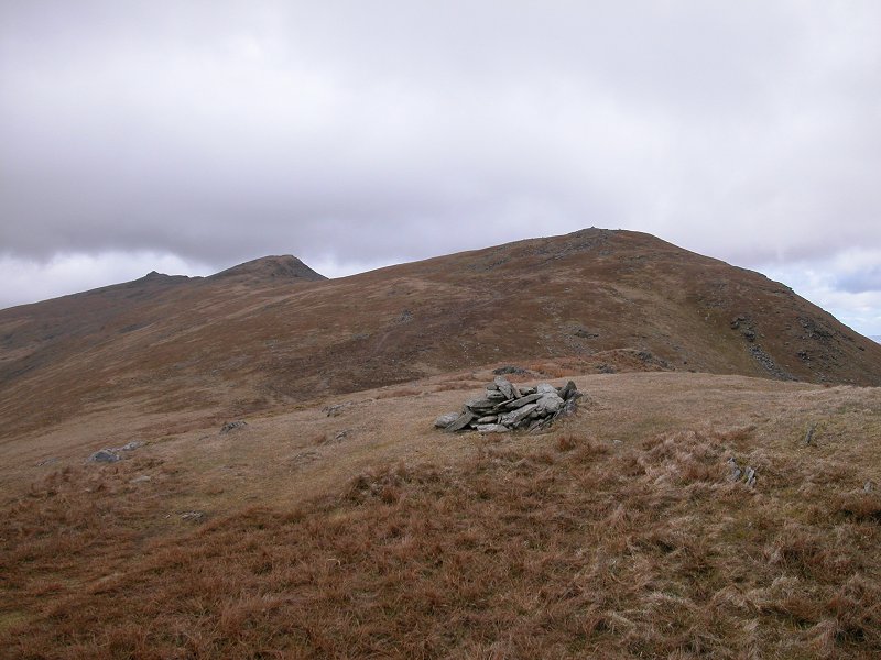
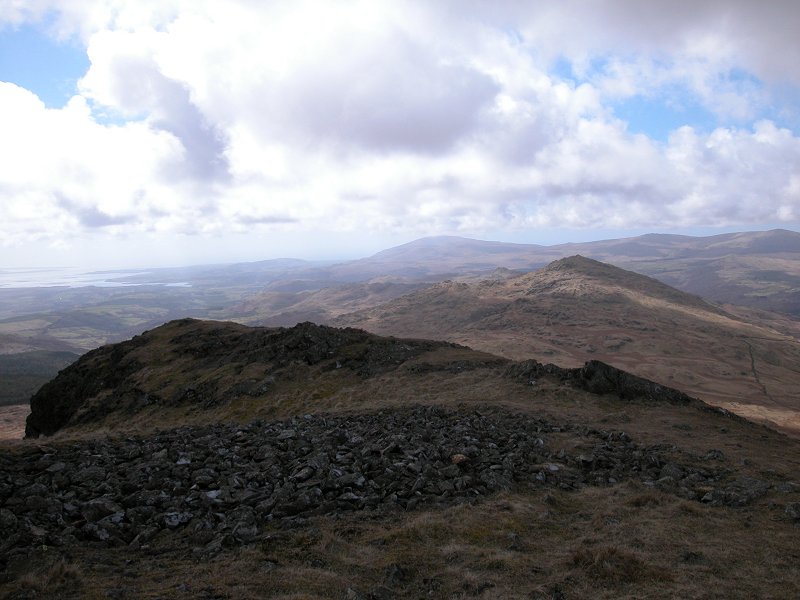
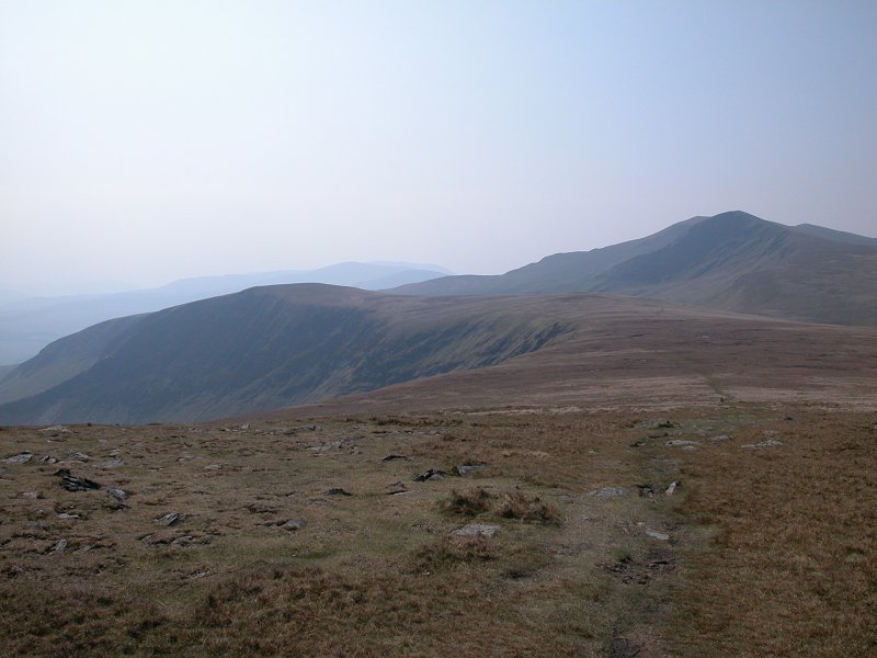
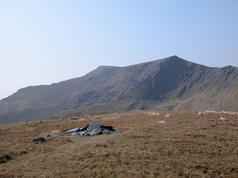
The
view back along the ridge as I retrace my steps. Dow Crag and its
neighbours are very prominent with the Old Man just peeping over the
top.
|
|
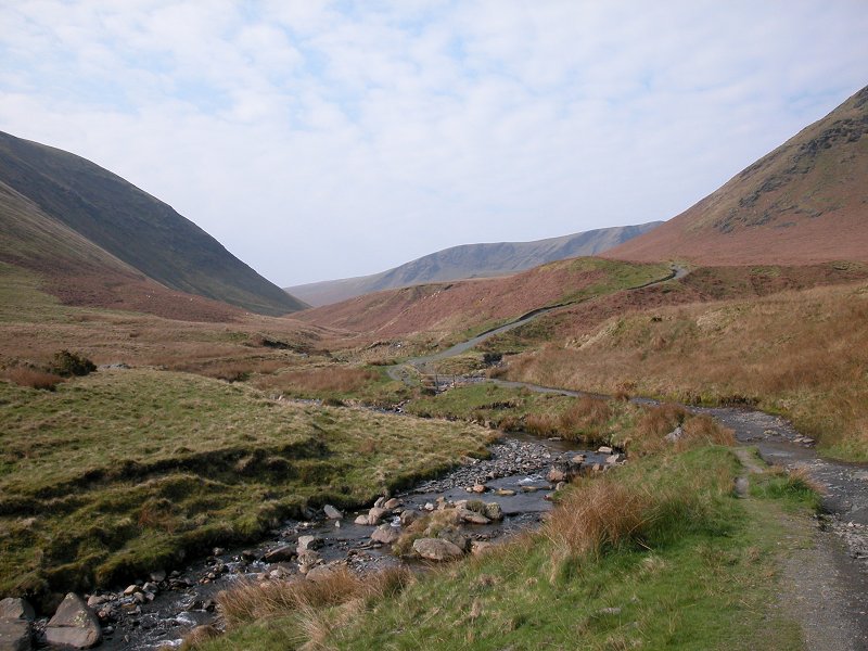
Back
on Walna Scar pass and I'm planning to lose height as quickly as
possible to get some shelter from the wind, at which point I'll park up
somewhere for a late lunch.
|
|
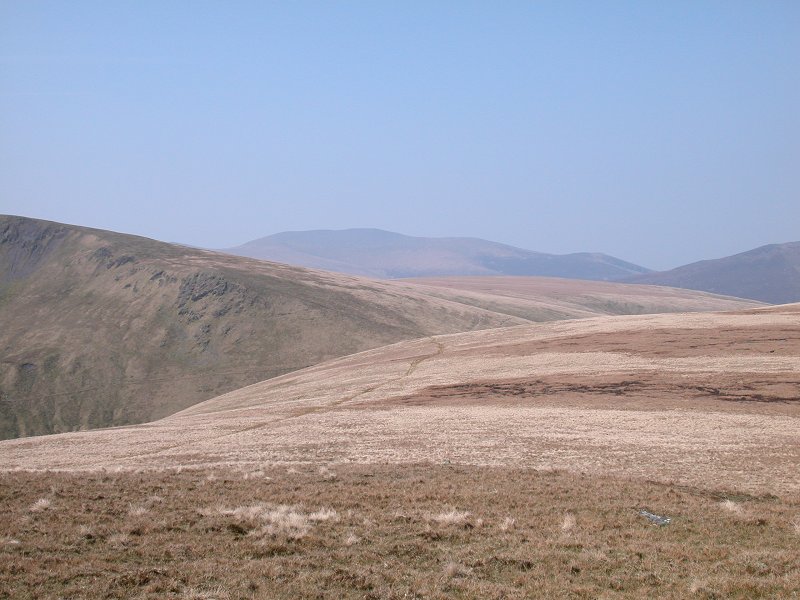
The empty countryside between Walna Scar and Coniston Water.
|
|
Back down to Goats Foot Crags, just beyond which I stopped for lunch.
|
|
Half an hour later I've reached the surfaced road beyond the car park (where I indulged in my first ice cream of 2006).
|
|
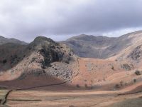
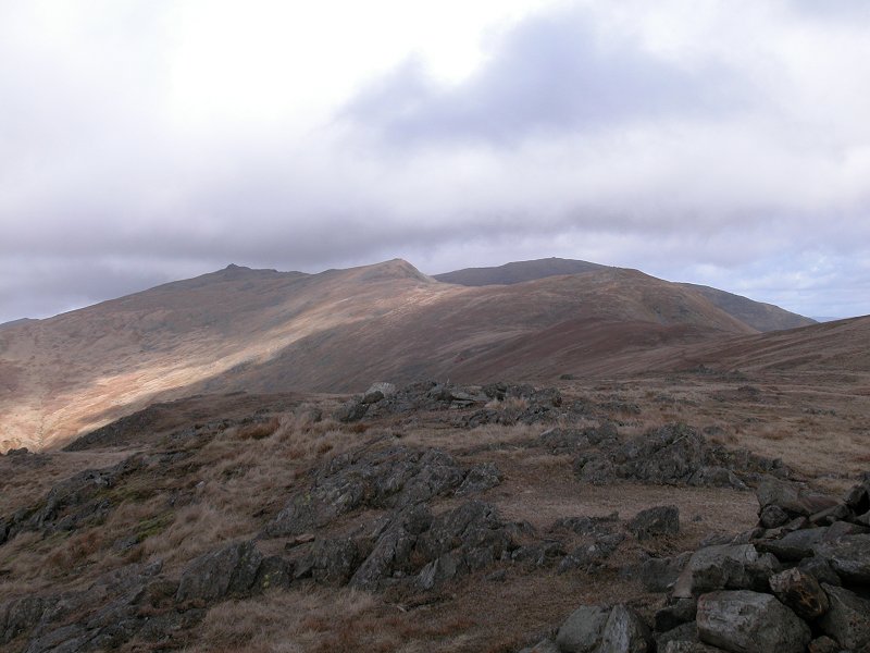
The dramatic skyline of the Coniston fells from the road.
|
|
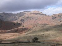
Zooming on on that dramatic skyline. We're looking into the Coppermines valley with Swirl How standing at its head.
|
|
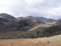
Panning to the right brings Wetherlam into view.
|
|
That's the Old Man itself from a little further along the road.
|
|
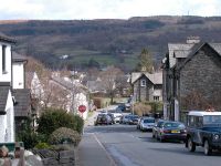
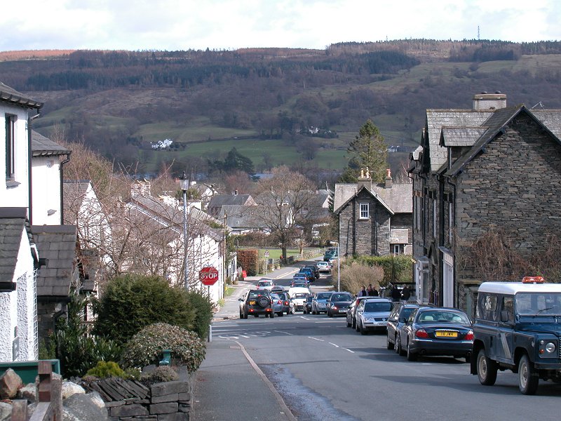
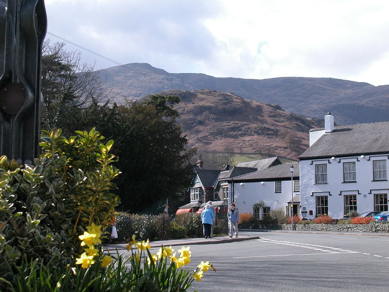
I was back in Coniston village by around 3pm and spent a pleasant half hout there while waiting for the return bus to Kendal.
|
|
A final shot of Coniston's dramatic skyline.
|


