 |
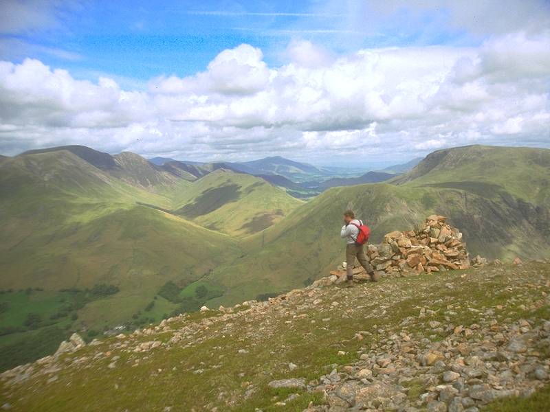
Newlands
Hause from Dodd
We've climbed out of Buttermere by the usual route via Burntness Wood and Bleaberry Tarn. This is the view from Dodd, Red Pike's northern outlier, about 2000ft above sea level. |
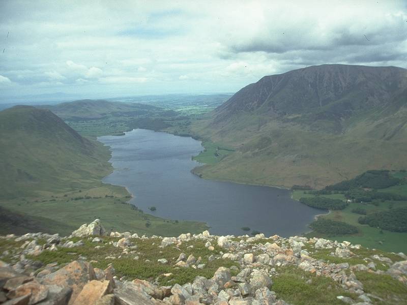 |
Crummock
Water from Dodd
Crummock Water from Dodd. Loweswater is seen beyond. Grasmoor is the fell to the right. |
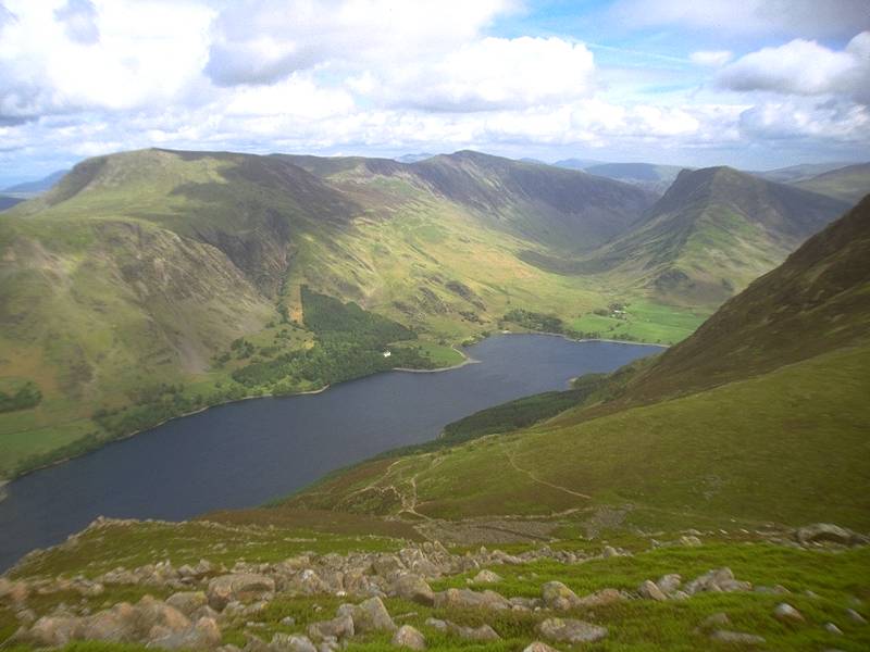 |
Buttermere
from Dodd
Looking northeast from Dodd over Buttermere and into Honister Hause beyond. Robinson lies to the north of the lake (left of shot), while the cone of Fleetwith Pike is prominent to the right. |
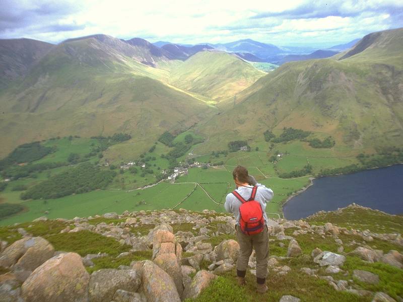 |
Buttermere
village from Dodd
The village nestles within the small area of flat gound between Buttermere and Crummock. Knott Rigg appears above the Newlands valley, with Whiteless Pike to the left and Robinson to the right. |
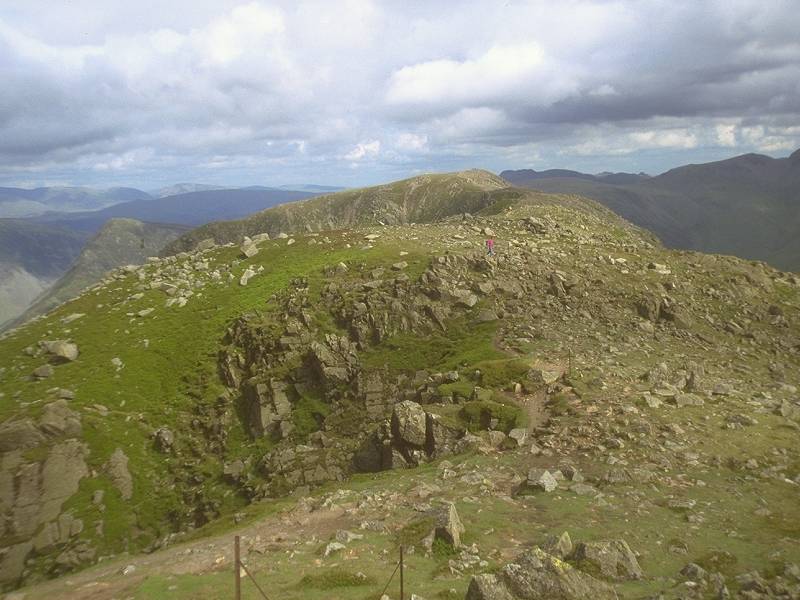 |
High
Stile from Red Pike
The climb to Red Pike is tough, but the ridge walk to High Stile (2644ft) is simple. |
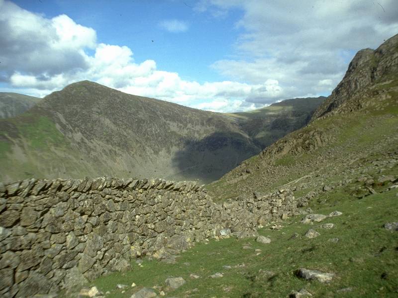 |
Descent
to Scarth Gap, High Crag
The ridge beyond High Stile leads to High Crag, then down the steep scree slope of Gamlin End. We've stopped at the drystone wall above Scarth Gap, the path between High Crag and Haystacks. |
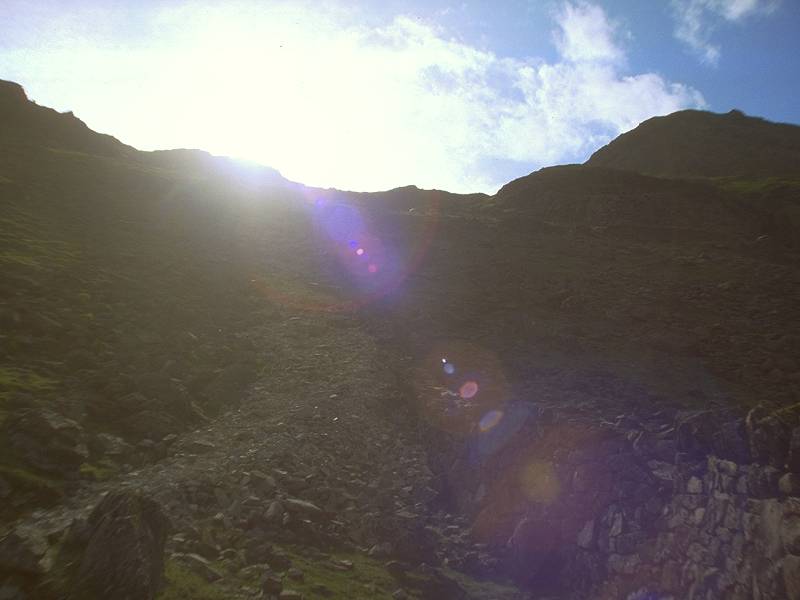 |
Descent
to Scarth Gap (2)
Looking up into the sun from the same spot. |
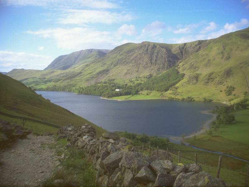 |
Buttermere,
Scarth Gap
Descending the Scarth Gap path. Buttermere always looks lovely from here. |